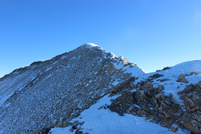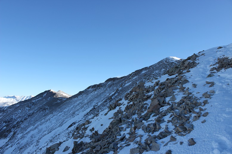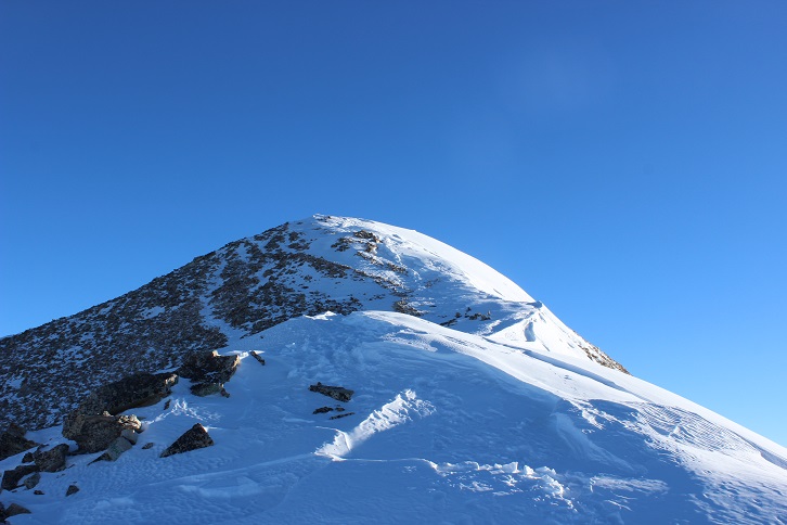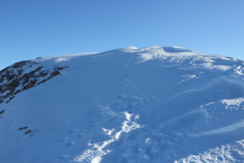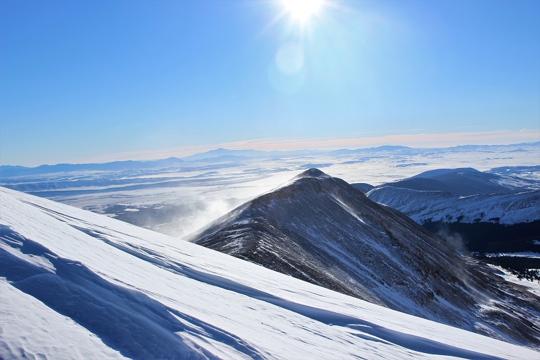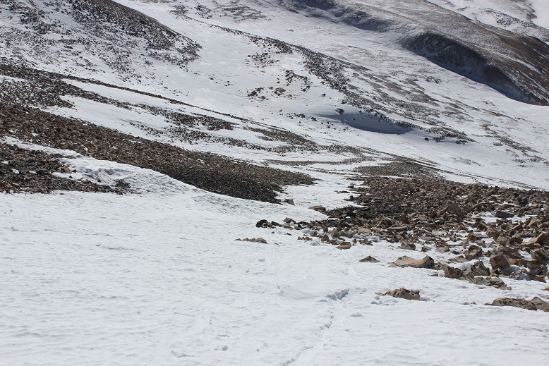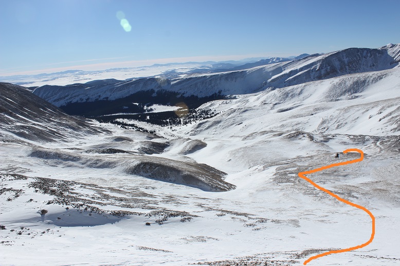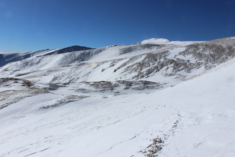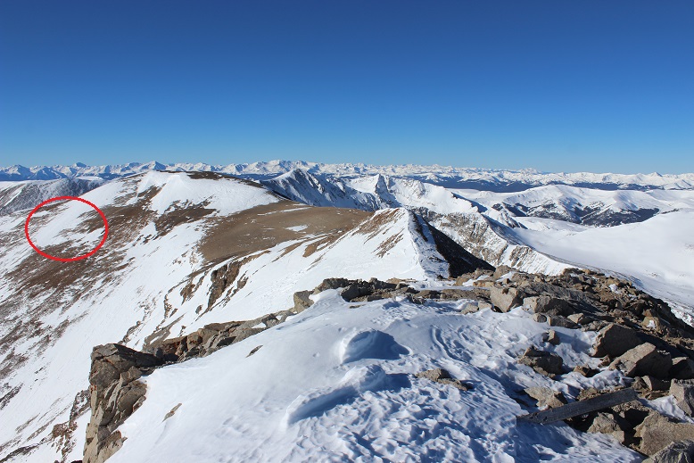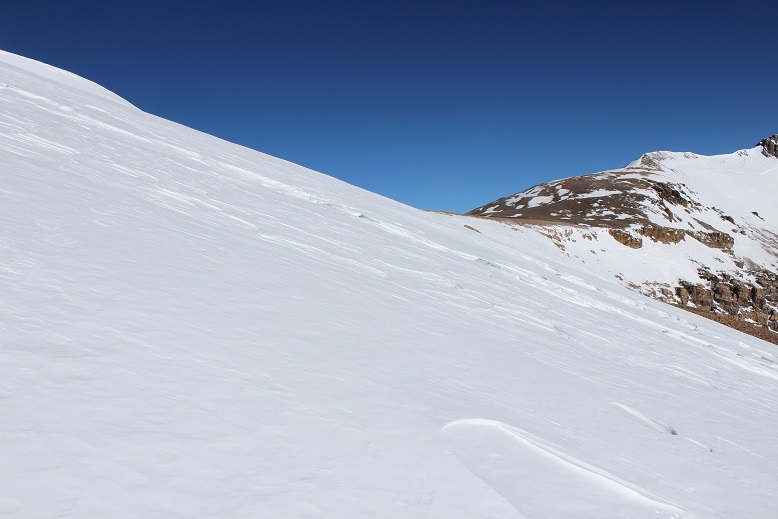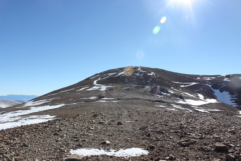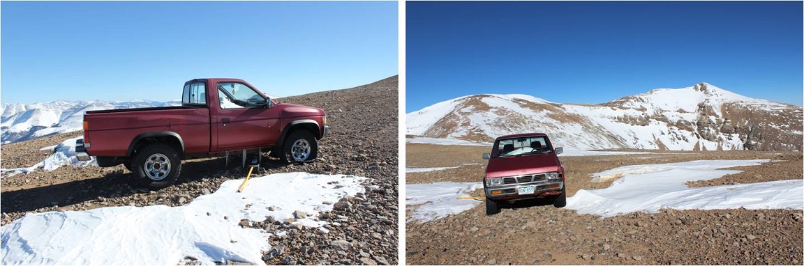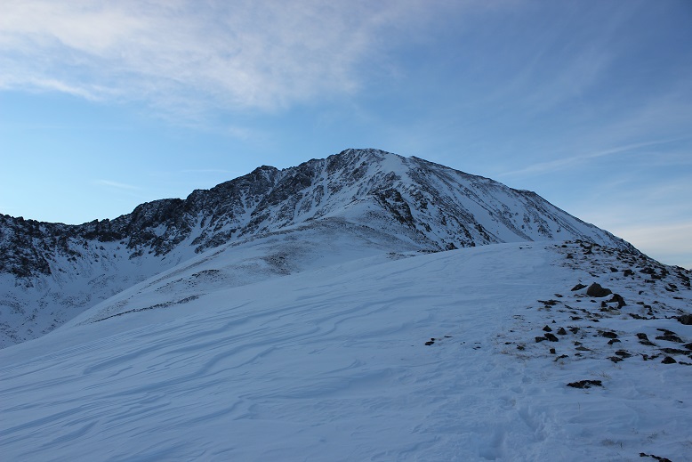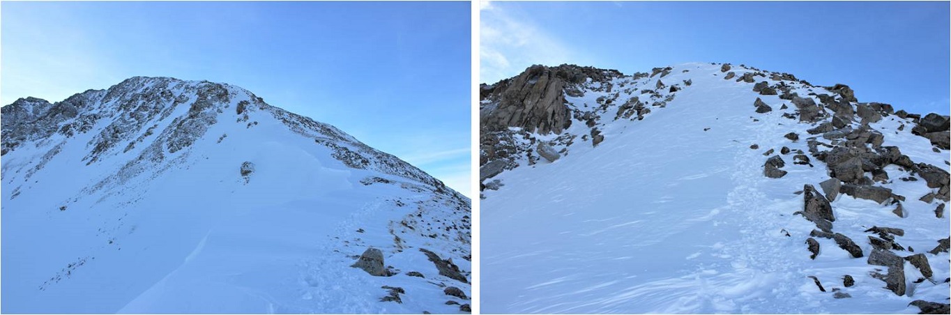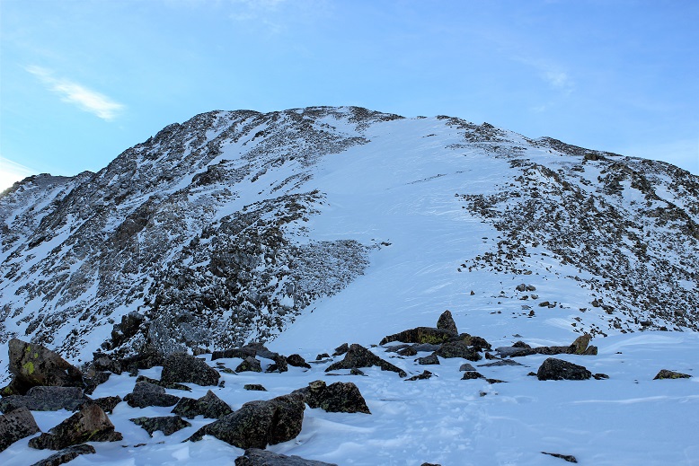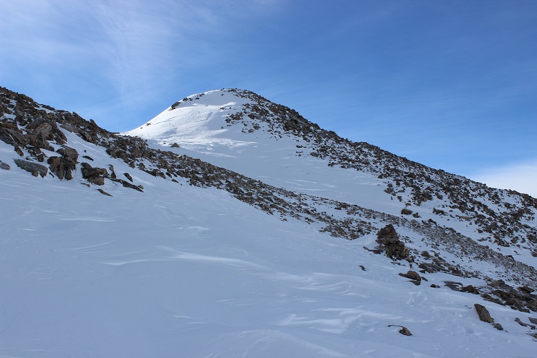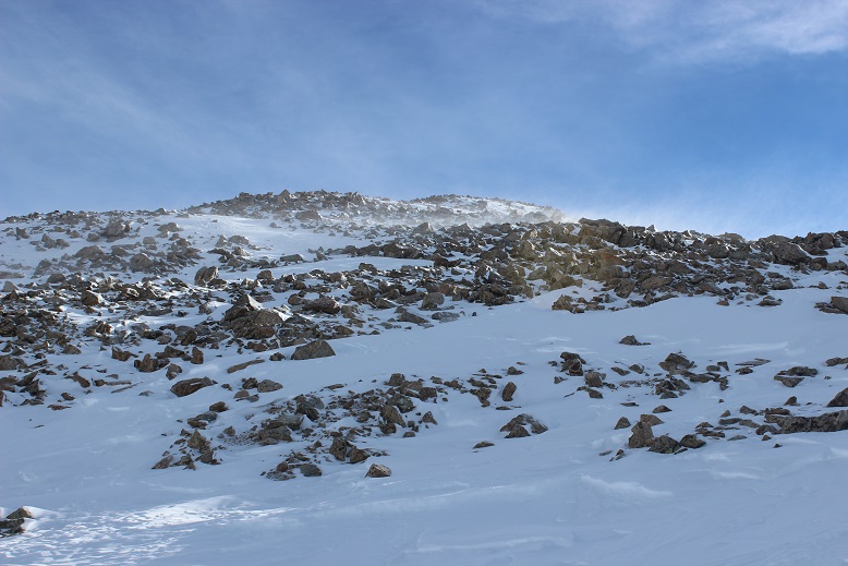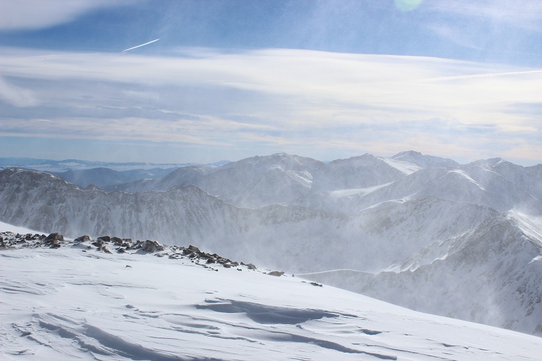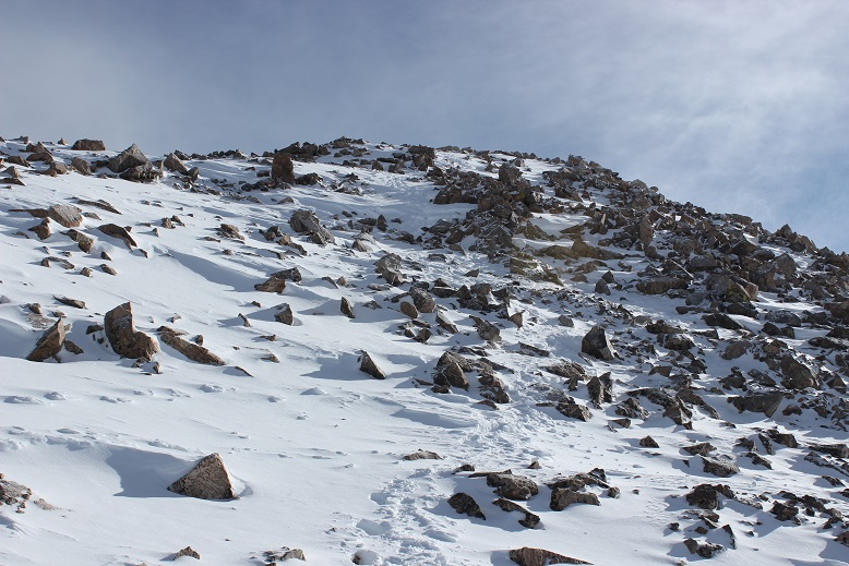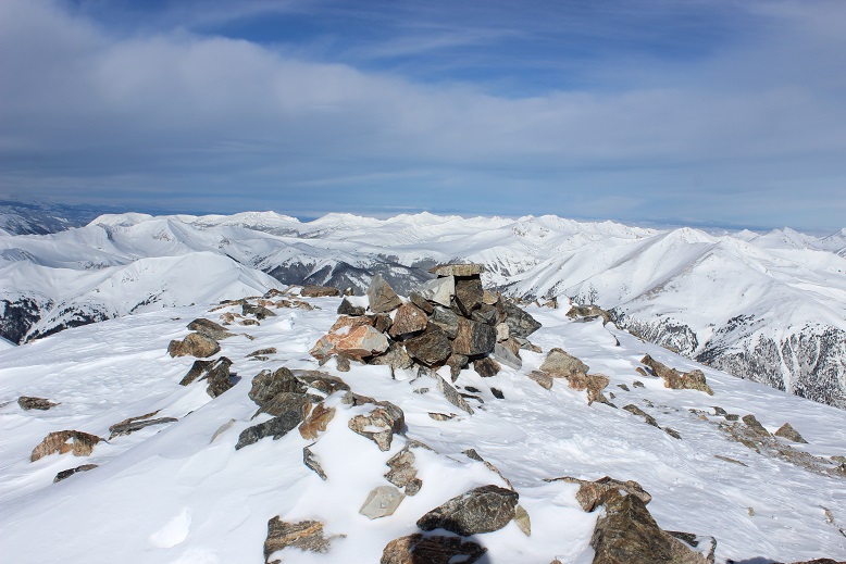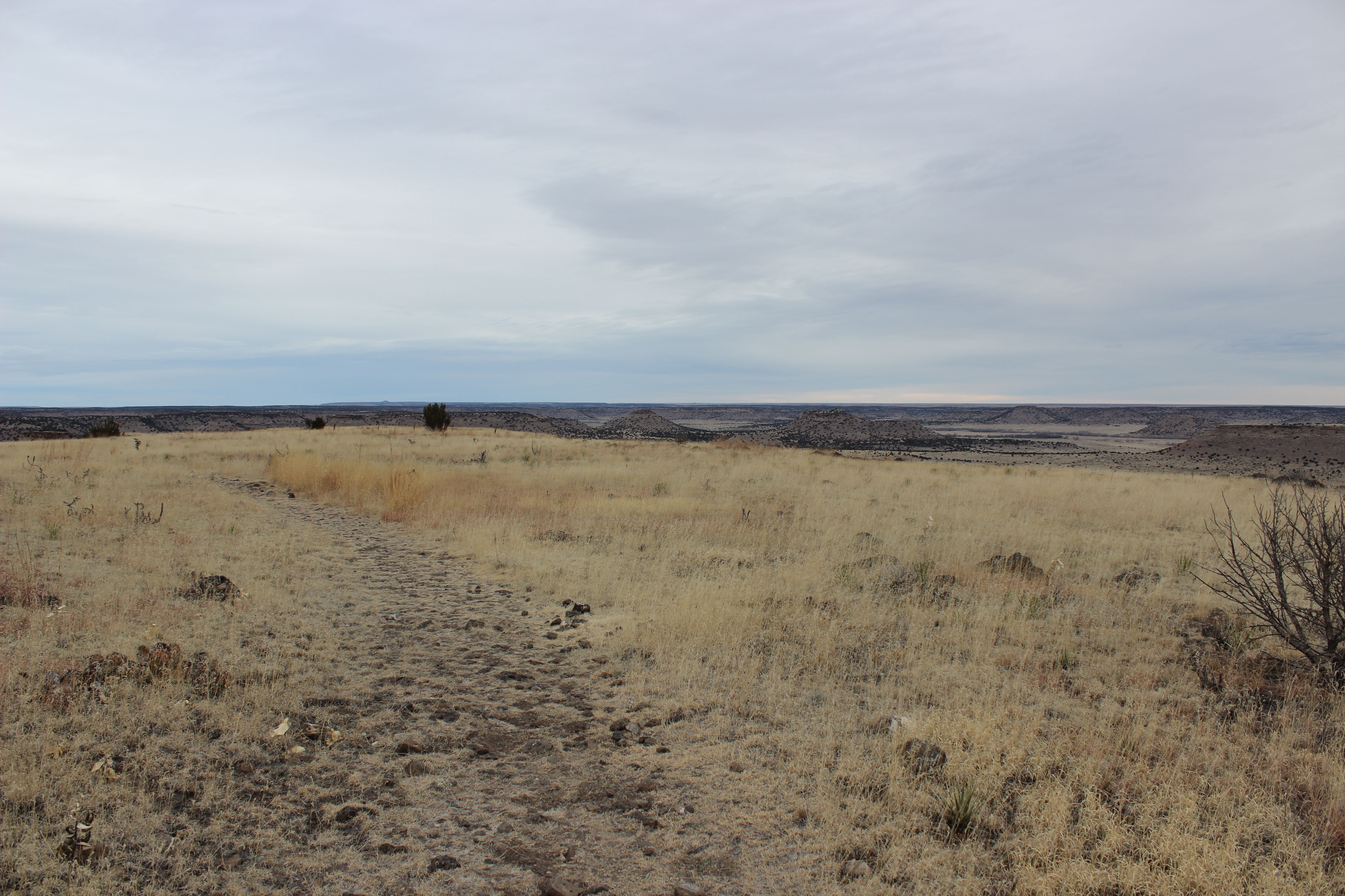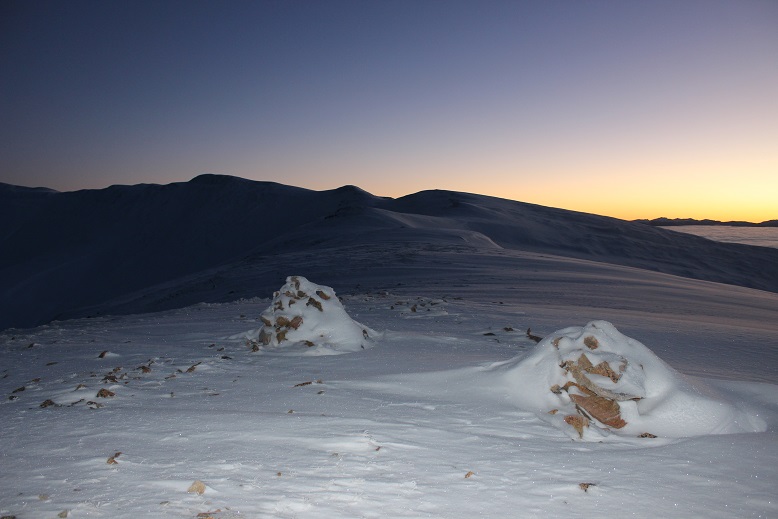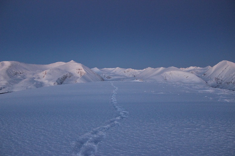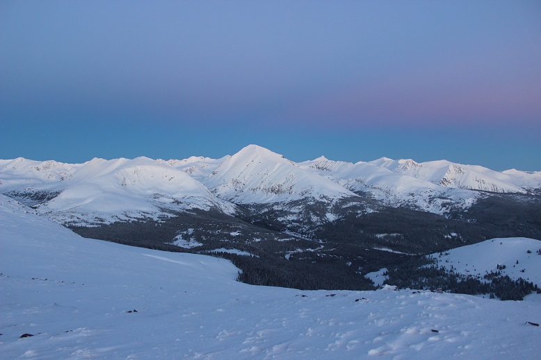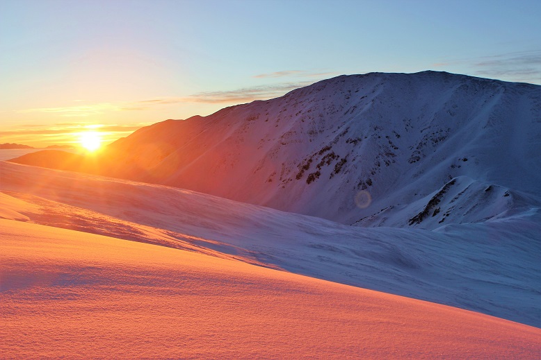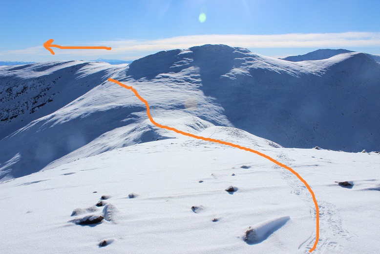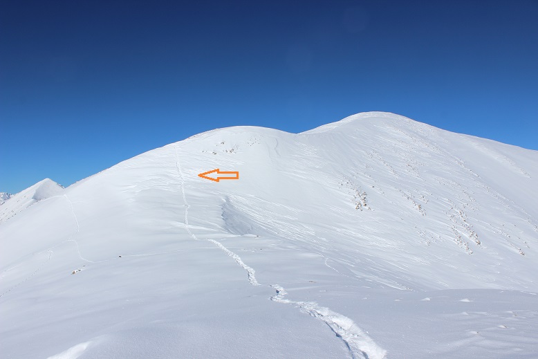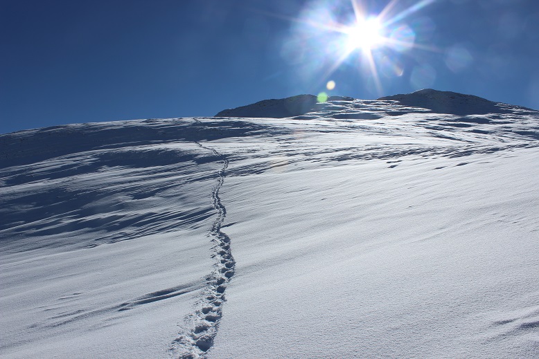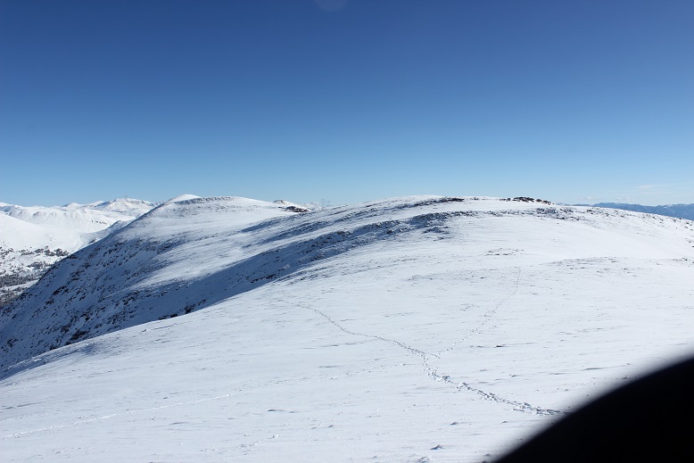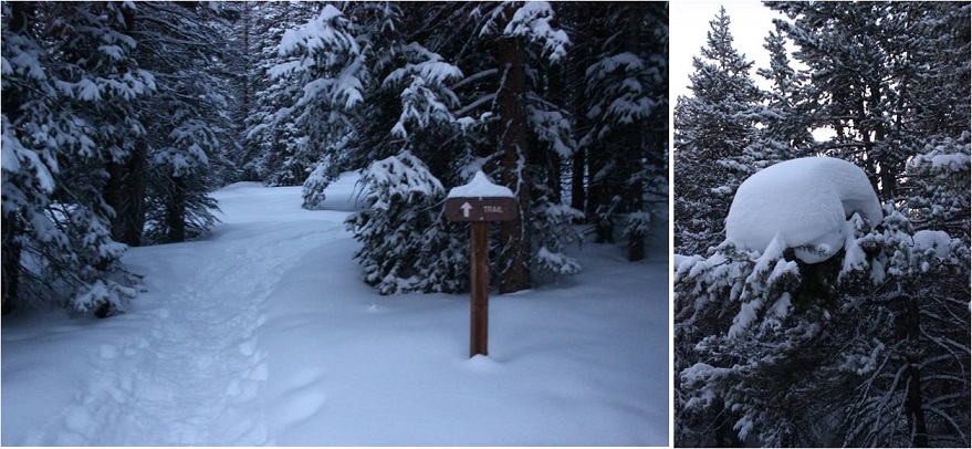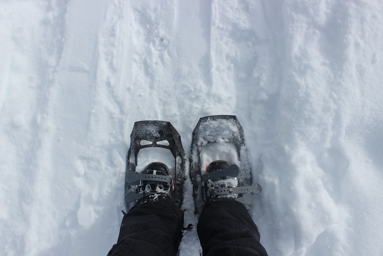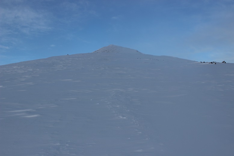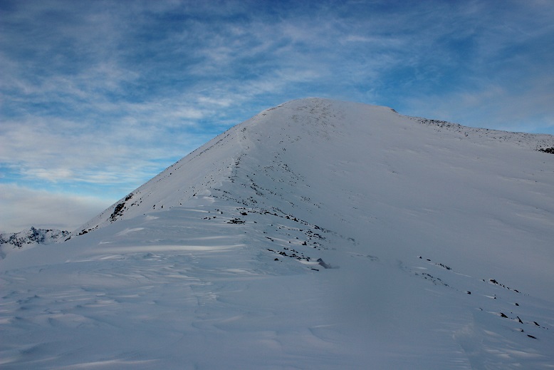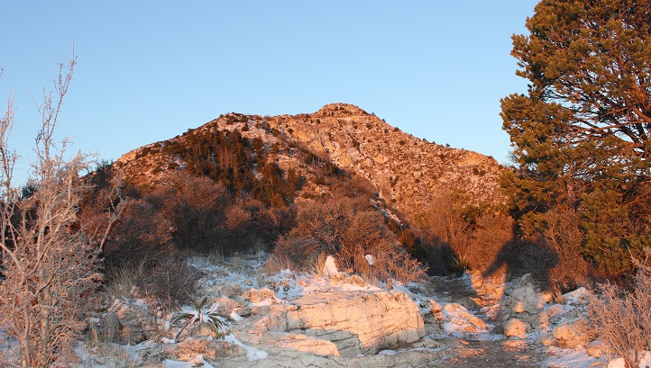
Texas Highpoint Guadalupe Peak – 8749’

10

Elevation Gain: 3155’

RT Length: 8.5 miles

It’s about time I went hiking again!!! This past month has been rough.  It was the end of cookie sales, I was in Germany for a bit for work, came back from Germany with the flu (and I NEVER get sick, so I’m blaming it on being exposed to some German type of illness I’m not resistant to) and my fingers are still healing from my last trek up Sherman.  What concerned me most really though were my fingers:  I developed digital ulcers (yep, those things that looked like blisters under my nails were thick blisters that eventually popped).  Now they’re healed but still very raw and the skin on the tips of my fingers is thin and fragile.  I haven’t been in the high country because I didn’t want to expose my fingers to too much cold too soon.  Oh, and then there’s the historic avalanche danger we’ve had in Colorado over the past 2 weeks….

In any event, I finally had a day to hike and now just had to choose between a 14er and a highpoint. I really wanted to get in one more 14er this winter but with the avalanche danger as high as it is I opted for a road trip instead to a place with zero avy danger
2

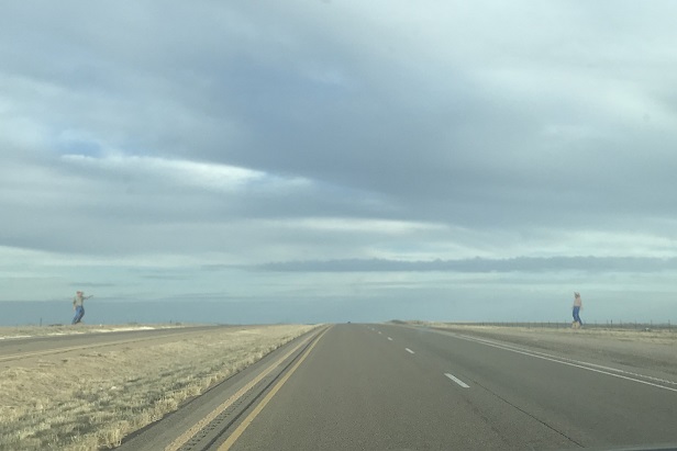
Texas! I was dreading the 10 hour drive and missing out on my potential 5th winter 14er, but I also have highpointing goals this trip would help, and I felt it best to do this trip before the heat and summer gas prices increased.  The only downside was the drive and my tight schedule:  My oldest was coaching a guard in the St Patrick’s Day parade at noon, and since I really wanted to be there to support her and take a video I didn’t get on the road until about 1:30pm.  Almost as soon as I left I realized I’d left my trekking pole at home, so I decided to pick up a cheap one at a gas station along the way (knowing full well there’d most likely be a few free ones at the trailhead left by others).

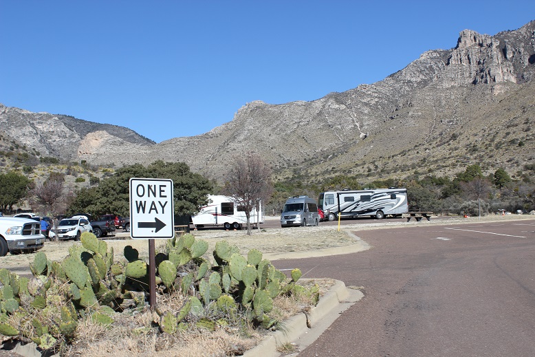
I made it to Guadalupe Mountains National Park at 10:30pm… or 11:30pm after the 1 hour time difference at the Texas State line. There were about a dozen RVs parked in the RV lot.
3

I filled out the self reservation form, parked my car in one of the parking spaces, text my kids to let them know I’d arrived, and got settled for bed. After turning out the lights the full moon gave me a great view of the silhouetted peaks against the night sky.  I took a deep breath:  yes, taking this road trip had definitely been the correct decision.  I was so happy I was here right now, snuggled in my sleeping bag, looking up at the stars.

Now if I could only fall asleep. I usually have difficulty sleeping at trailheads and tonight was no exception.  I really just wanted to get started hiking but since it was midnight and it had been a full day it was a better idea to try to get some sleep first.  I couldn’t, and pretty soon I got cold.  Very cold.  It was in the 20s outside but I was very cold inside the cab of my truck, even with double layers of clothing, socks, jackets, a sleeping bag, and 3 fleece blankets.  The seatbelt clips were chilly and kept sticking into my back.  Note to self:  next time bring 2 sleeping bags instead of 1.

The campground was quiet for being so occupied, and as a bonus I only heard a generator go off once (those are obnoxious). I drifted in and out of sleep (mostly out) for the next 6 hours.  The moon set at about 3:30am and it suddenly got very dark outside.

I’d done my research, and the sun was supposed to rise at 7:11am. That meant the sky should begin to lighten around 6:30am.  I set my alarm for 6 so I could be on the trail no later than 6:30am but when my alarm went off it was still very dark outside.  Hmmm.  Ok, so I re-set it for 6:15am.  Still dark, and again at 6:30.  This didn’t make much sense but I felt I was wasting valuable hiking time and I was still really cold (hiking would warm me up).  So I got ready and was on the trail by 6:45am. Yep, a bunch of trekking poles had been left by other hikers near the trailhead.

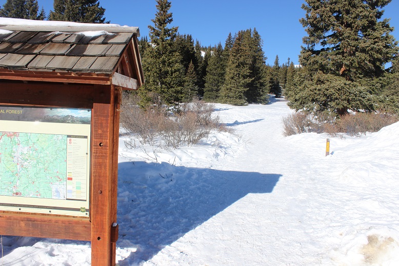
The trail starts at the end of the RV parking lot, just to the left of the information sign.

4

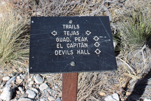
Another bonus: this trail was very well marked. I just followed the signs that indicated “Guadalupe Peak trail”
5

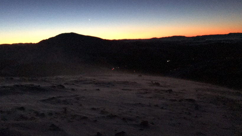
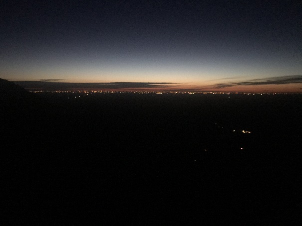
The trail was very also well maintained, wide enough in most places to walk side by side with another person, and easy to follow. I quickly warmed up and waited for the sun to rise.  I hiked for over an hour before the sky began to lighten.  I could see Carlsbad in the distance.
6

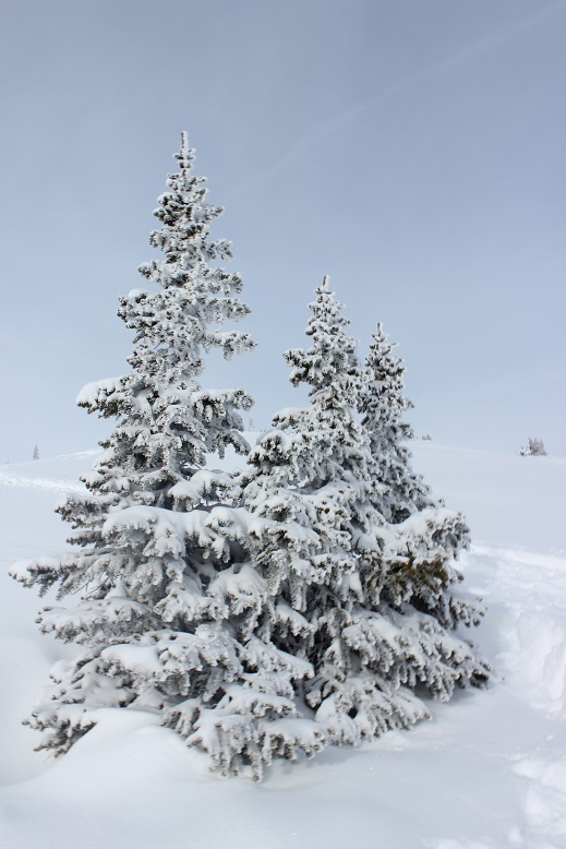
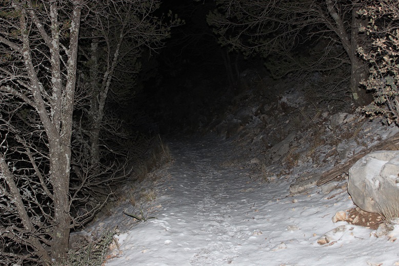
Right about this time I encountered a thin layer of snow on the ground that persisted all the way to the summit. I’d known it was supposed to have snowed yesterday between 2-3pm, and here was the evidence it had.
7

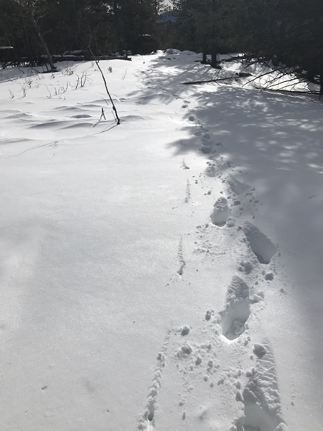
I looked for tracks in the snow and was surprised to see small deer prints. I also saw a lot of squirrel tracks and some from a small creature (I’m thinking a ringtail?)

8

Suddenly I heard a low, guttural noise that sounded like ujjayi breathing coming from my left. I stopped to see what it was.  It took me a few seconds to realize it had been me (my throat is still recovering from my cold).  I cleared my throat and continued on.

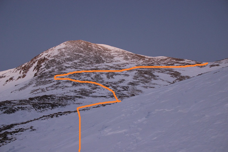
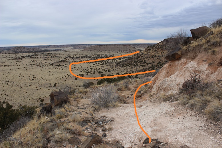
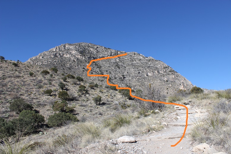
Have I mentioned the switchbacks? This was supposed to be a “strenuous” hike, but there were a ton of switchbacks, making it longer than necessary but not too difficult.  Here’s a look at the first part of the route
9

The sun started to rise as I made it to the top of this area, and I could see the rest of the hike before me (there’s actually still about 2.5 miles of hiking left)

10

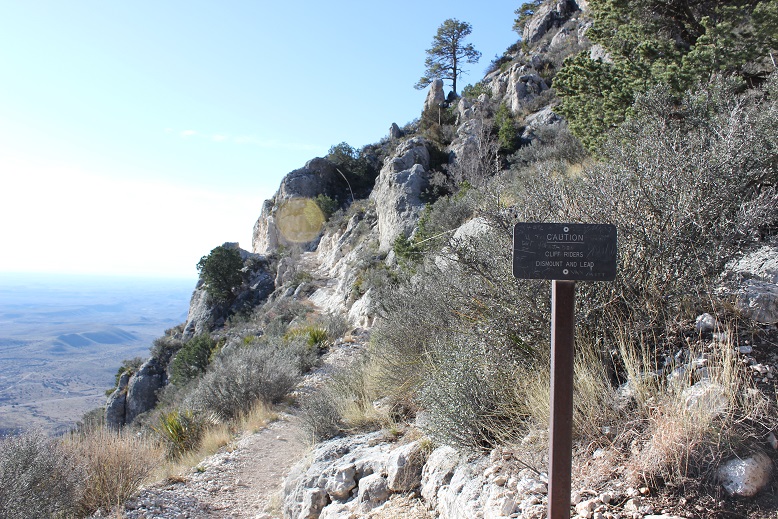
Once I’d rounded the first slope there was a cliff to pass, and I was surprised to see a sign that said if you were on a horse to dismount and walk it across.

11

I was surprised because I hadn’t seen any horse hoof prints or manure on the trail. Usually when they allow horses on a trail it’s littered in both.

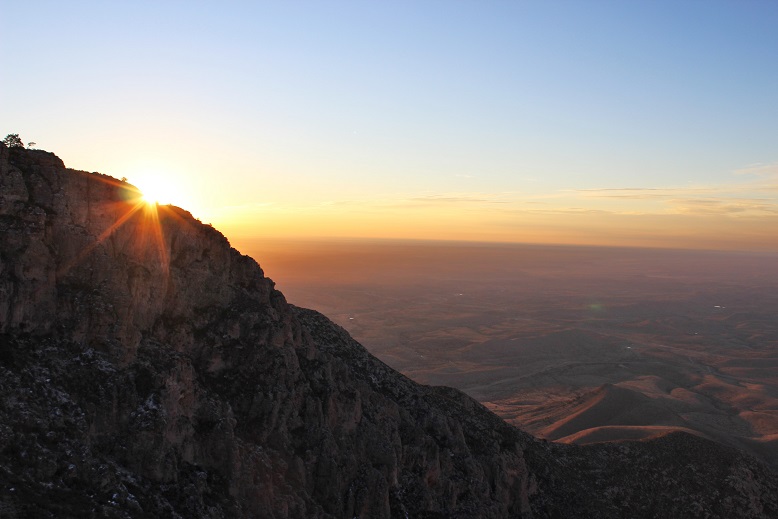
This part of the hike took place behind the first mountain so I was able to see the sunrise a second time from a different angle.
12

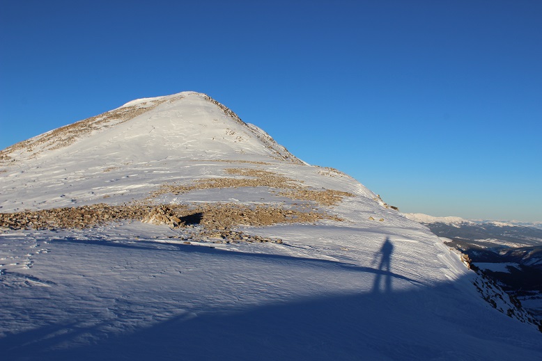
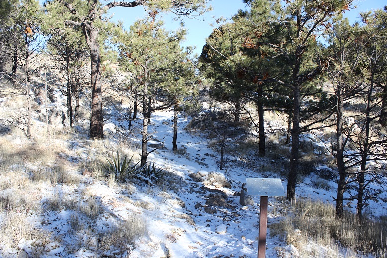
I came across a false summit and some camping sites
13

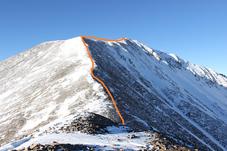
I rounded the corner once again and saw more switchbacks. Here I could tell the trail went to the left, but it seemed there was another trail to the right.  I figured the trail to the right was from others cutting switchbacks and took the well established trail to the left.

14

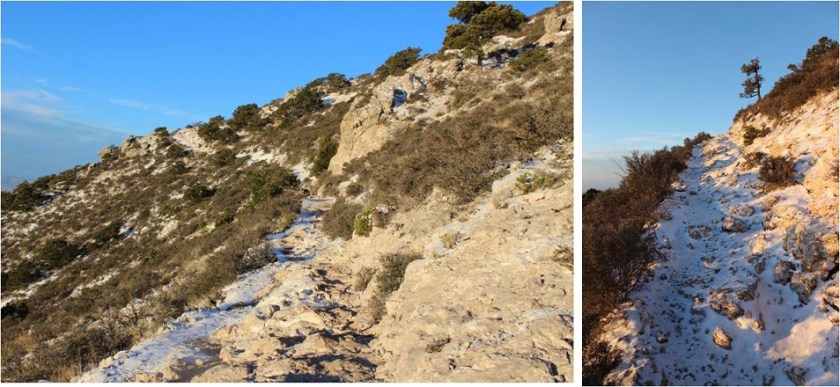
The path was lightly lined with snow and just gave way to more and more switchbacks. Would they ever end?
15

A great view of the valley below

16

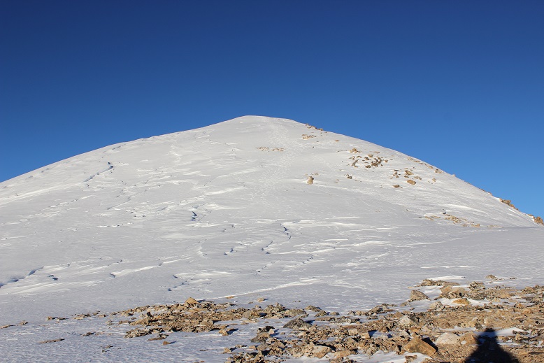
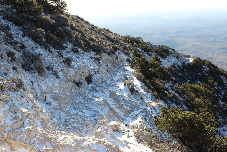
Here’s where the trail got tricky: I was almost to the summit and the path gave way to walking along exposed rock.  This in itself wouldn’t be too difficult normally, but the rock was covered in a thin layer of ice, making traction tricky
17

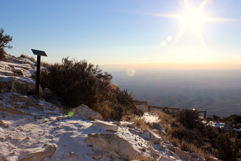
I couldn’t help but think this section was most likely why I hadn’t seen any hoofprints/manure along the trail: it was too difficult for a horse to maneuver.  Then I saw hitching posts and none of it made sense.
18

Oh well. There was a little bit of a scramble

19

And then I was at the summit. I thought it was cool to be at the Texas highpoint on St Patrick’s Day when it also had a dusting of snow (apparently snow here is rare, even in winter)
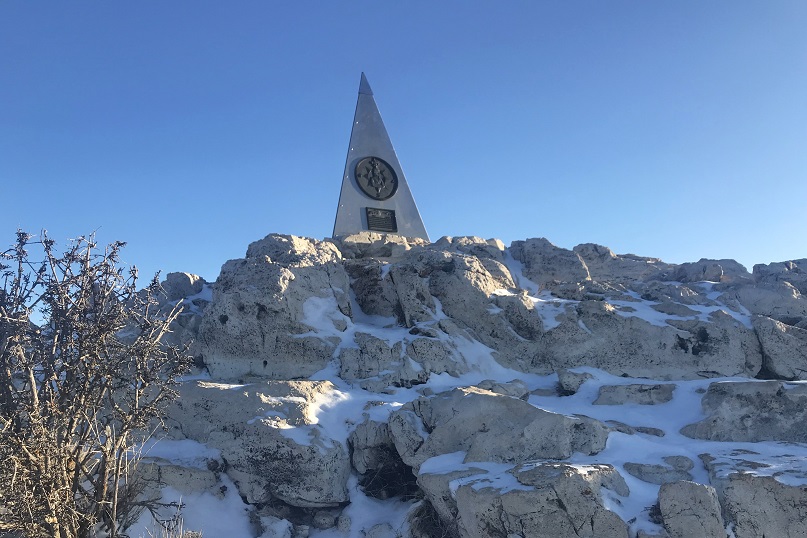
20

Summit Video:

I summited at about 8:40am and had fun taking photos at the top
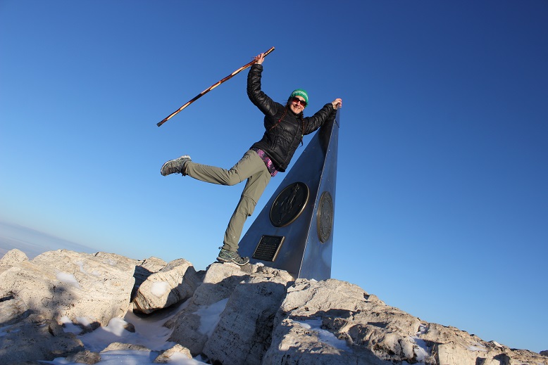
21 Guadalupe Peak Texas 8749 3-18-2019

Since this was Texas the summit marker was huge, but interestingly enough didn’t have any mention it was a highpoint or of the elevation.
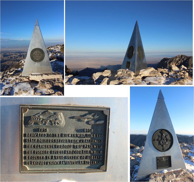
22

I’d taken off my gloves to take photos, and this ended up being a bad idea. My fingers felt raw and were beginning to tingle in a bad way, even at this relatively low elevation, so I decided to put back on my gloves and head back down.  It turns out that fork in the trail that went two ways was legit.  The trail to the right had actually been a maintained trail (the other was the horse trail) so I took that one back down.

In the daylight I could see the parking lot I’d stayed in and just how many switchbacks there had been up this trail
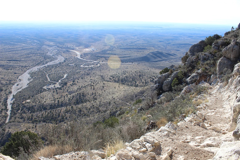
23

I encountered dozens of people starting their hike as I was nearing the end of mine. Dozens.  A ton of college students, families, large groups and individuals out for a day hike.  They all seemed surprised I was almost done.  I was surprised they’d chosen to hike in Texas during what would now be the heat of the day.

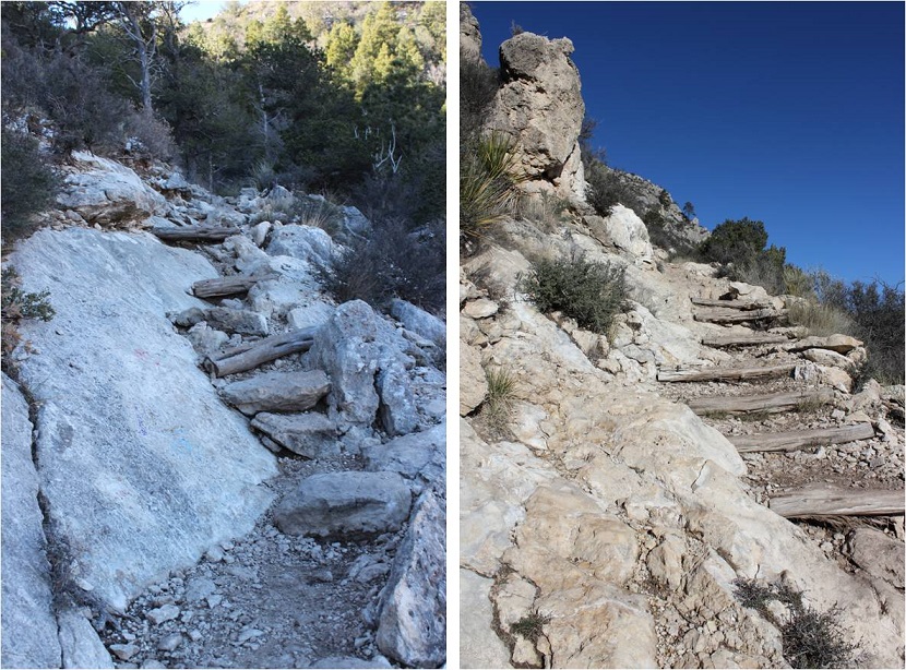
Here’s another look at some portions of the trail (open to horses)
24

And evidence horses were allowed

25

One of the interesting parts about this hike was all the very large Manzanita Trees I saw. I haven’t seen so many in such good shape in a long time.

26

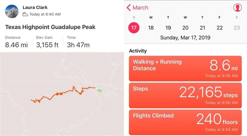
I made it back to my truck at 10:15am, making this an 8.5 mile hike in around 3 hours 30 min
27

Just for fun, here’s the Relive link. I’m not entirely convinced all those switchbacks were necessary.  Relive:  https://www.relive.cc/view/2220225056

There are always signs telling you not to cut the switchbacks, but if you don’t want people cutting switchbacks, don’t unnecessarily make so many of them! Personally, I’d rather just take the stairs to the top.

I made it back home at 6pm. That was pretty good time!
Mt Sherman – 14,036, in Winter

1

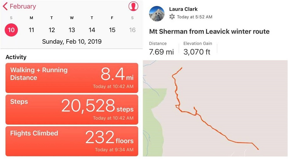
RT Length: 8 miles

Elevation Gain: 3070’

Out of the 12 peaks on my short list to hike today Mt Sherman had the best weather, coming in at 12* with 15-20mph winds, and 30mph gusts. This was by far the best weather for wind gusts (most other peaks forecasted 50+mph winds) so it was a no brainer as to which peak to pick.  Unfortunately (as you’ll read later) I made this decision at 9pm the night before and didn’t do much (ok, any) research on hiking Mt Sherman in winter because I’d seen some FB posts there was minimal avy danger that was easily avoidable and read the trailhead was clear.  And hey, I’ve done this peak before and I knew what I was getting into.  Right?

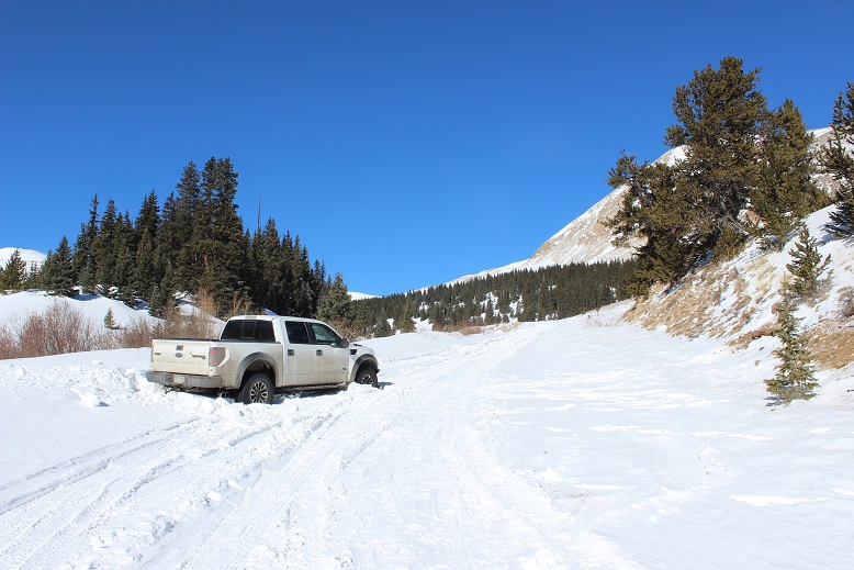
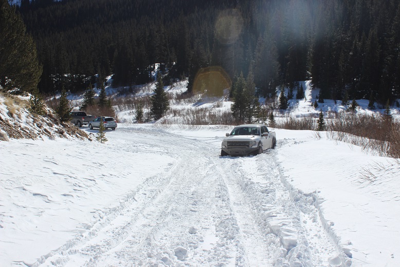
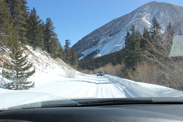
I was more nervous on the drive in to this trailhead than I’ve ever been. The last conditions report hinted it wouldn’t be difficult to make it to the Leavick site, and possibly further in a 4WD.  However, about 4 miles before the Leavick site the normally 2WD road became a sketchy, drift and rut filled one way snow fest.  This was a ‘both hands on the wheel’ kind of experience that required skill to stay in the lane and not drift into the deep snow on either side of the vehicle.  I didn’t feel stellar about continuing on, but there was no place to turn around and in the dark I couldn’t see to back up so I just kept driving onward, bolstered by the fact others had obviously succeeded on this road yesterday.

I made it to the Leavick site at 5am in one piece (woohoo!) but there was no safe place to park my truck without it getting stuck in a snowbank. The wind had drifted snow all over the area, so I set about using my trucks tires as snowplows and drove it back and forth, up and down, flattening out an area big enough to park.  This took a lot more time than anticipated as the snow was soft and kept sinking and squishing up on the sides as I drove over it.  I had no idea how deep the snow actually was and the more I drove over it the more it pushed up the snow around it to make new walls.  I got out my snow shovel and started scooping up some of the bigger areas of snow to make more room.  Just as I was doing this another truck arrived and I let out a sigh of relief:  The more vehicles to drive up the road and stomp down the snow the better! It looked like he was going to continue on, but then suddenly he backed up…. right into a drift.  Ouch.  I lent him my shovel and went back to work trying to make a suitable parking area.  Once I felt I’d made enough room for my truck to safely park and about 2 others I went over to help the man with the stuck truck.  We tried shoveling away all the snow, putting dirt and then rocks under the tires, and him gunning it while I pushed.  No dice.  That vehicle was stuck.

2

I was now an hour behind schedule and that truck wasn’t going anywhere. The man told me he had a few friends meeting him soon so I offered him the further use of my shovel and began my hike at 6am.

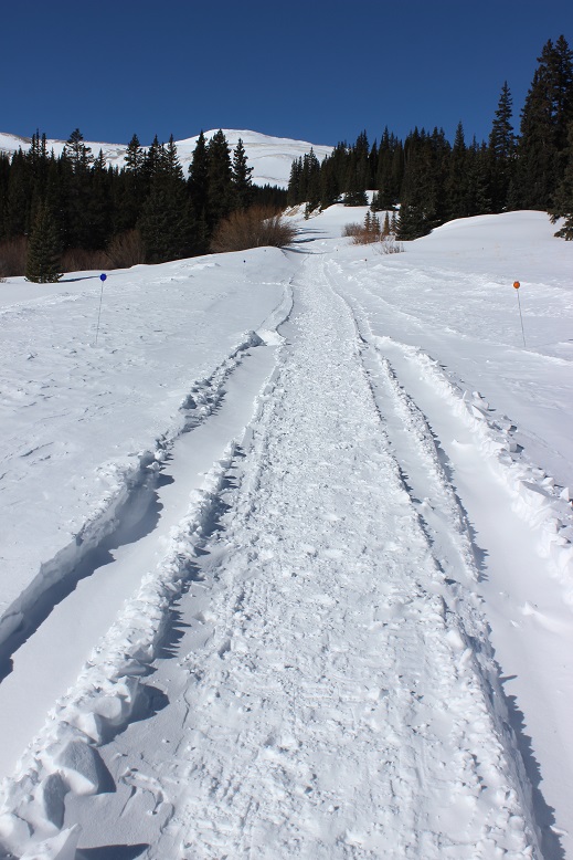
The Leavick area is 2.5 miles below the trailhead, but an easy hike on a 2WD dirt road (well, 2WD in the summertime). I put my snowshoes on in the truck and was grateful for them as I made my way up the road.  It was windy but I’d anticipated the wind and was grateful for my balaclava, mittens, and hat.

3

At this point I started seeing footprints and even though I knew the road curved around to the left I decided to follow the footprints that led in the general direction of the basin, knowing they’d all connect when I made it further up. I made it to about here and stopped

4

The snow just didn’t feel right. I knew if I continued on I’d make it to the basin, but it felt like I was walking on a thin crust of ice with spongy layers below.  It didn’t feel or sound right and the slope was getting steeper.  I decided to just backtrack to the road.  (Later I learned this was indeed the winter route, and others made it up said route that day, so I was most likely being over cautious, but no regrets).

I made it back to the road fairly quickly. There was plenty of snow blocking the gate

5

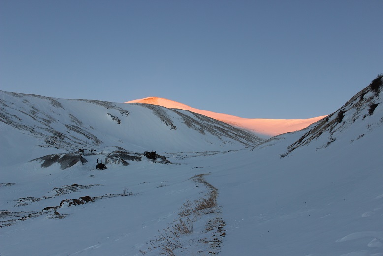
The sun started to rise just as I walked up to the Dauntless Mine area. I silently wished I’d started just a bit earlier so I could fully enjoy the alpenglow.

6

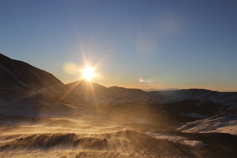
The wind was still present. Every once in a while a gust would hit me full force and I had to turn around and put my back to the wind, but this meant I was facing the sun

7

I was now in the basin. I looked at the summer route (or what I could see of it at the time) and got a little nervous:  that was more snow than I’d anticipated and no ‘quick, easy way around’.

8

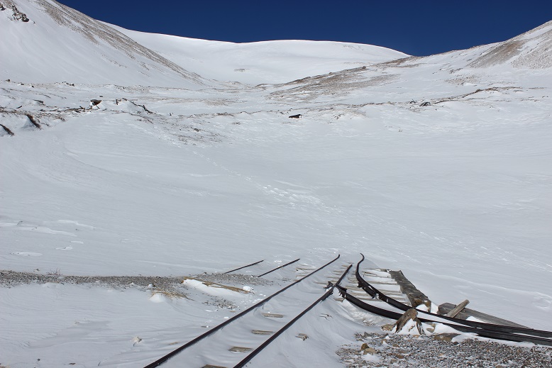
There are several routes (trails/roads?) around the hilltop mine. They were all covered in various degrees of snow, and some were too steep for my liking.

9

Here’s the route I took:

10

OK, so now I was in the basin and it was obvious the standard route was a no-go due to avy and cornice danger

11

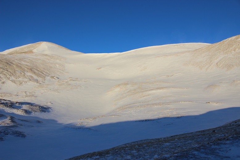
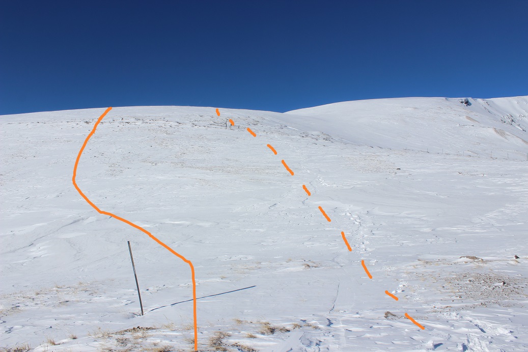
I looked at the mountain and decided I had some options. I saw what looked like a viable path up the face and through a gully, and another that went off to the right, up a ramp, and then left to the summit.  I knew from previous experience the ramp was a way down from White Ridge, and I was considering doing that peak as well today, so I decided to go up the gully (solid) and down the ramp (dotted).

12

By now the wind had died down and I was starting to get warm. This was fantastic!  The gully had snow, but now very much.  It was just enough to provide the necessary traction on the scree (which would have been nasty without the snow).

13

And boy was it steep!

14

From about halfway up I had a good view of my intended route down

15

The route kept getting steeper and steeper but I just kept to the areas where there was snow. Towards the end I got out my ice axe for support/stability.

16

I gained the ridge and looked back on what was the standard route. Yep, it had been an excellent choice to avoid the area altogether.

17

From the ridge I took a look back at the basin: yes, I could have just gone the way I’d started out, but I was where I wanted to be, so this was good too.

18

I turned north as the wind picked up a bit. Obviously others had been here recently.  This didn’t look too bad

19

I gained one small ridge and saw what looked like more fun than I’d remembered last time I’d summited Sherman. Woot!

20

This was easy to cross, and as I was making my way I looked over to Gemini (another peak I was considering after Sherman)and debating if I should summit White Ridge or Gemini first?

21

Sherman has a very long ridge to the actual summit. Here’s more proof

22

23

I stopped for a second and looked over at White Ridge. It looked like it was getting some wind!

24

I continued on to the summit, with the wind increasing as I went. As I stood on the summit I turned around to get out my camera and was immediately knocked over by a gust of wind.  Wow!  That hadn’t been expected!  I got to my knees and stood up again. Wham!  I was knocked down again. Ugh!  So I got out my trekking pole and used it as leverage, struggling to stand and the wind continued full force.  It wasn’t happening.  The wind was too strong!  Ok I thought, I’ll just wait this gust out.  But it didn’t stop.  It became a sustained wind that didn’t seem like it was giving up anytime soon.  There was no way this was the forecasted 30mph gusts.  I’m not sure the speed, but it had to be pretty significant if I couldn’t stand. There was no way I was going to attempt Gemini or White Ridge in these conditions.  It looked like I was heading back the way I’d come.

I couldn’t stand so I got out my ice axe and crawled back towards the ridge. This was a good and bad idea:  I was making progress towards the ridge, but holding the ice axe was brutal on my hand.  Note to self:  bring something to wrap around my ice axe to work as a barrier for warmth between my glove and the axe, as gloves (mittens) don’t cut it.  I noticed I couldn’t feel my fingers.  This happens to me a lot, but this was the worse it’s ever been, and I got scared.  Really scared.  I was breathing fast and my breath froze my balaclava stiff.  This meant I was now having a hard time breathing in and out of it due to the barrier.  Wind chill is no joke.

I had to get out of this, and fast. I kept crawling down the ridge, hoping the wind would let up.  It didn’t.  Me being me, all I could think about was not getting a picture on the summit.  I told myself there was no way I’d have been able to because the wind would have blown my camera away, but I still wanted one.  I made my way to a rocky area that provided some shelter from the wind and took a selfie (kind of).  I wasn’t on the summit at this time, but I was close, and it was the best I was going to get.

25 Mt Sherman

The camera wouldn’t focus due to the wind, and I thought it weird there was so much blowing snow on White Ridge but none on Sherman. The wind was insane but it wasn’t blowing any snow.  I actually would have preferred blowing snow in a way because then I could have seen the wind coming towards me and anticipated the blast.

I put my camera away and while the wind was still brutal I was able to stand up. My fingers were seriously bothering me.  I’d been trying to pump them back and forth but I wasn’t sure if it was working because I couldn’t feel them, and there was no way I was taking off my glove to check them out.  Just before making it to the end of the ridge my fingers started burning intensely, as if I were touching a hot stove and not pulling my fingers away from the heat.  The pain was extreme but I was relieved because this meant the blood was starting to flow through them and it also told me I hadn’t done any permanent damage.

I trudged back to the gully and started my way back down, pulsing my fingers the entire way. The initial descent from the ridge through the gully is very steep. I faced the mountain and used my ice axe.  About 50 feet from the ridge the wind finally stopped and never started again.  By now the sun had warmed up the snow in the gully, making it not quite slushy but still slippery.

25

Once I’d made it back to the basin I headed towards the hilltop mine.

26

And then followed my snowshoe tracks back down the mountain

27

By now my hands were sweating in my gloves, but I still didn’t want to take them off: the tips of my fingers hurt in a way they never had before and I wanted to keep them covered for as long as possible.  I kept pulsing them and thinking to myself: now I know where my limit is.  I can do cold to a certain point, but I cannot do wind chill.  When I got home I looked it up, and if it were 10* on the summit (the forecast high had been 12*), after 40mph the wind chill stays constant at -39* up to 60mph winds. I learned today that’s too much for my body.  From now on I cannot go hiking above treeline if the winds are forecasted over 25mph.  I just can’t, and I need to hold myself to that.  Also, I’m pretty sure the forecast had been wrong in this case, and if I’m honest I kind of knew this going in since Sherman’s forecast was so much better than every other mountain in the area.  It had been too good to be true, and if it seems too good to be, it probably is.

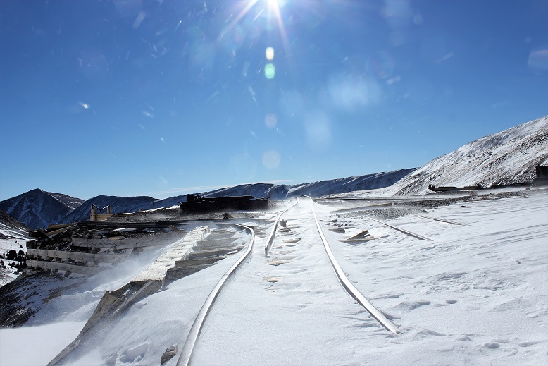
Back to the trip report. The Dauntless Mine takes on a whole new quality with snow

28

29

I followed the road back to my truck, meeting a few hikers along the way. At one point it looked like someone had tried to drive further up the road past Leavick and had second thoughts.  Instead of turning around it looked like they’d backed up down the road.

30

As I was walking the 2WD road back I was so warm I took off my balaclava and gloves about half a mile from my truck. My hands were swollen and sweaty and red and sore, but no blisters!  It was warm and there wasn’t any wind so I kept my gloves off to let my hands dry out.  I made it back to my truck at 10:15am, making this an 8 mile hike in just over 4 hours.

31

When I made it back the white truck was still stuck and there was one other vehicle in the area.

32

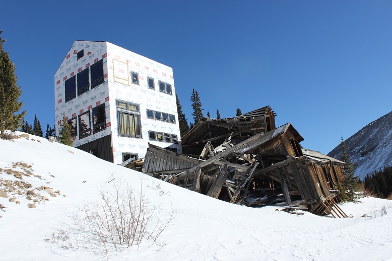
They’re still building a structure at the Leavick site. I’ve been told it’s a home but that sounds questionable to me.  And creepy:  the old structure creaks and groans with the wind continuously at night.

33

OK, let’s talk about the drive out. I wasn’t looking forward to driving those first 4 miles, but I was looking forward to them being over.  After about a mile I came across a Jeep heading up the trail.  Ugh!  One of us was going to have to back up, but then the driver did something I hadn’t expected:   He did what I’d done this morning to make a parking space, and drove up and down and up and down about a dozen times to make a spot for him to park and me to drive around.  I slid around him with less than an inch to spare (and I mean this in more ways than one as despite being on my A-game I wasn’t 100% in control of the vehicle the whole time).  I took a deep breath.  That had been very, very close.  I couldn’t believe I hadn’t hit him or gotten stuck on the side trying to pass, and I wasn’t entirely sure he could make it out of his ‘parking spot’.

Almost immediately after passing the Jeep I saw another vehicle coming towards me and thought “Oh no! Not again!”  But this guy did something unexpected as well:  He started backing up, quite efficiently, and didn’t stop for 2 miles!  Even though I’d had the right of way he’d done the backing up. I was so grateful (and told him so when I was finally able to pass him).  Once again, THANK YOU!  You kept us both from potentially getting stuck.  As a side note, whenever possible I used my truck to make the ruts in the road wider because it can do that kind of thing.  Have I mentioned I love my truck?

34

Ok, let’s talk damage to my hands (and feet). I had indeed pushed them to their limit, but they aren’t permanently damaged.  The tips of my fingers feel very raw, similar to how the little red sores you get on your feet feel after being in the pool for too long and rubbing your toes along the side.  The tops are all red, and there are small blisters and lines under the tops of my fingernails (kind of like when you bend your nail backwards below the nail plate.  Last night it felt like I had blisters all over the tips of my fingers (but no actual blisters present).  My left pinky toe once again took the brunt of the hike:  It’s swollen to twice its size, a fun purple/black color in the middle (not frostbite, but pretty bad chilblains, which are a consequence of Raynaud’s meeting cold) and very, very tender to the touch.   I couldn’t get a shoe on today.  Here’s a positive note:  I teach wilderness first aid and we use aloe to treat frostnip (NOT frostbite).  Since my chilblains have similar symptoms I put aloe on them, and it instantly felt the same relief as if I were cooling a sunburn.  Woot!  What’s even better is it’s not medicine so I can apply it as often as I’d like!

The Mt Sherman Summit Sticker can be bought here

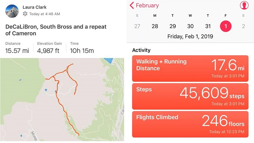
Democrat – 14,148, Cameron – 14,238, Lincoln – 14,286, Bross – 14,172, South Bross – 14,020

1

RT Length: 16 miles

Elevation Gain: 4987’

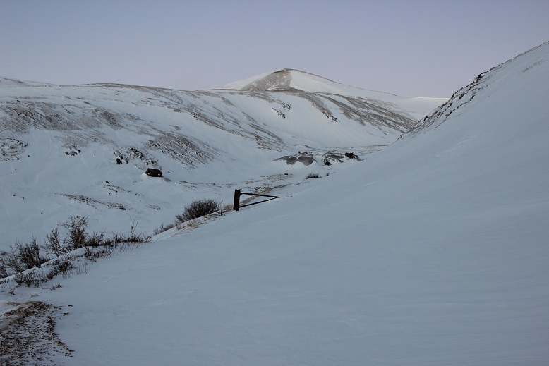
OK, I know this looks like an excuse to say I’ve hit my goal of summiting 5 winter 14ers for the year by just doing them all at once, but I’m only counting this as 1 winter 14er hike (putting me at 3 for this season… 2 more to go!).

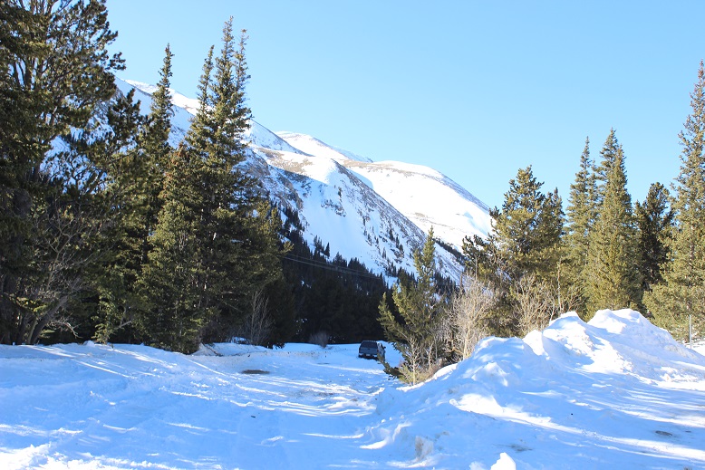
Luckily the Kite Lake Trailhead is only 2 hours from my house so I made it there by 4:30am. Well, almost there. From turning west on Buckskin I was able to drive 2.5 miles on a bare dirt road and got my hopes up I’d be able to drive to the winter closure. No such luck. Almost immediately at 2.5 miles I ran into snow and stopped. Quite suddenly in fact.

2

It looked like someone had attempted to drive further and decided to back up, so I parked my truck and took a look. I was fairly certain I’d be able to drive my truck through what I could immediately see, but I wasn’t sure I’d be able to drive back out after the sun warmed up the snow later in the day. I decided to play it safe and stay parked near the Paris Mill site. This ended up being a fantastic idea.

I put on my snowshoes and other gear and was on the trail by 4:45am. The dirt road in ranged from bare dirt to covered in 3-4 feet of snow. Yes, tt had been a good idea to park where I had. The jury was still out on whether or not wearing my snowshoes had been a good idea (necessary in some places, and not in a lot). I could tell no one had been on this particular trail for a few days (probably since the weekend).

3

The first mile and a half to the gate went by quickly

4

It was still dark, and here the wind picked up. It felt like I was in a wind tunnel, and the drifts on the road got deeper. I wasn’t able to see the road most of the way but I knew where Kite Lake was so I just headed in that general direction. It was still dark when I made it to Kite Lake.

5

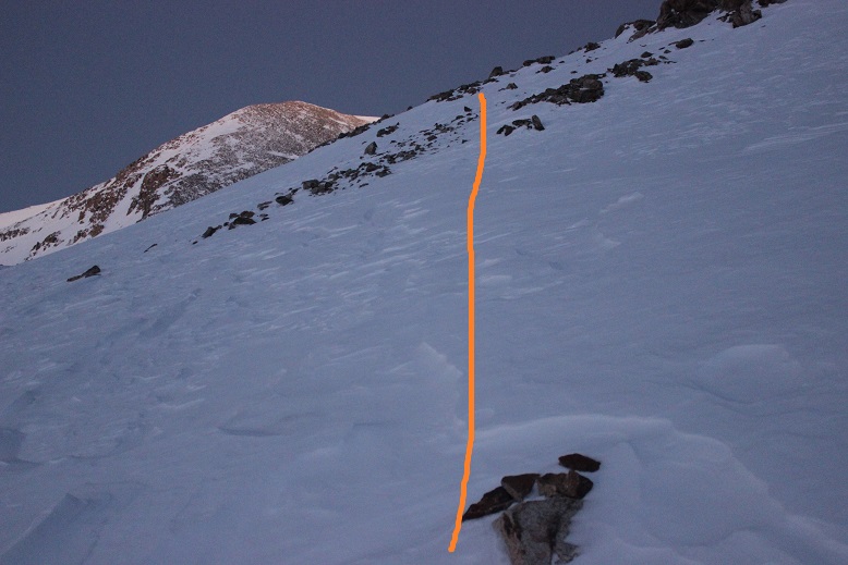
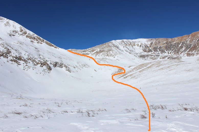
From here there was no visible trail: everything was covered in snow and the wind had swept any trace of tracks away long ago. I stayed to the right and came upon a sign. Woot! Last time I was here it was summer, but I remembered there were signs indicating where the trail was. I snowshoed over to the sign hoping to see it read “trail”. Nope, it just said “no camping”. Well, at least this meant I was on some sort of trail and not on the lake. I pointed my flashlight in the general direction I was supposed to go and saw another sign. Maybe this one would say ‘trail’? Nope, ‘no camping’ again. Then I saw another sign (this one ended up saying ‘trail’).   You can probably guess what I did from here: I just went from sign to sign until I was out of the basin (by the collapsed mine). Unfortunately most of the signs I encountered said ‘Trail Closed for Restoration’, but this was encouraging because I knew I was going in the correct general direction (and I wasn’t worried I was damaging the trail because I was on top of several feet of snow). Some of the time the signs actually said ‘trail’. Here’s the route I took:

6

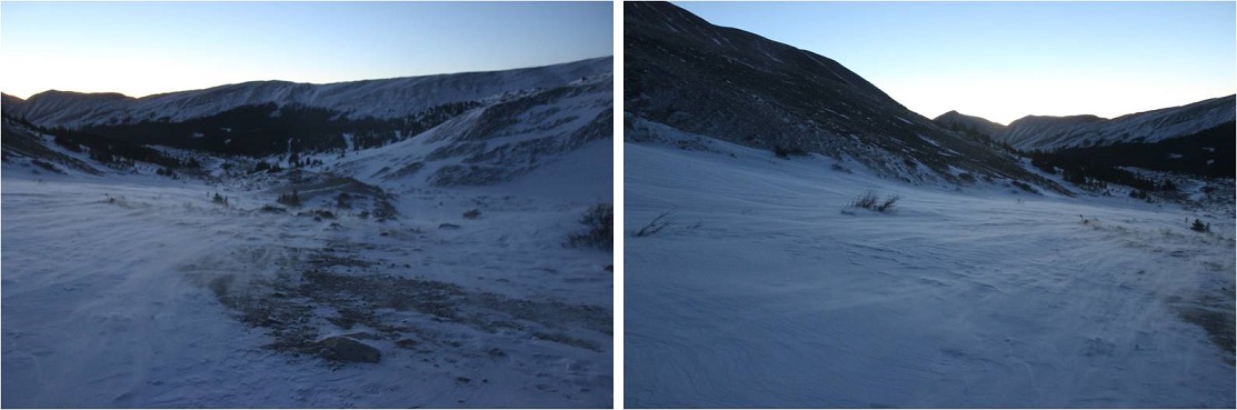
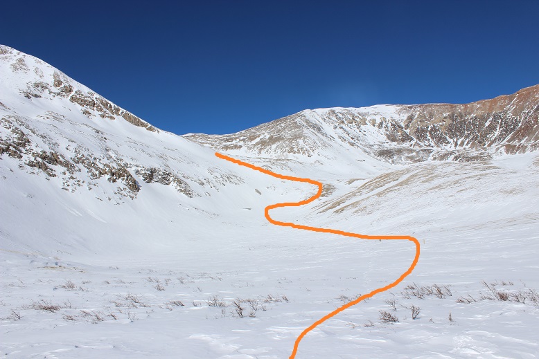
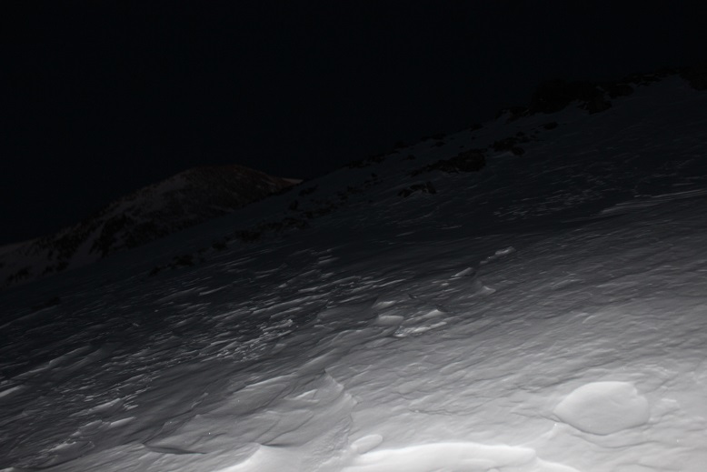
Remember however, it was still dark, so here’s what I was looking at as I was hiking

7

I made it past the mine and the route started getting very steep. Yes, snowshoes had been a good idea. I got really excited when I ran across a cairn (I haven’t seen one of those in ages!)

8

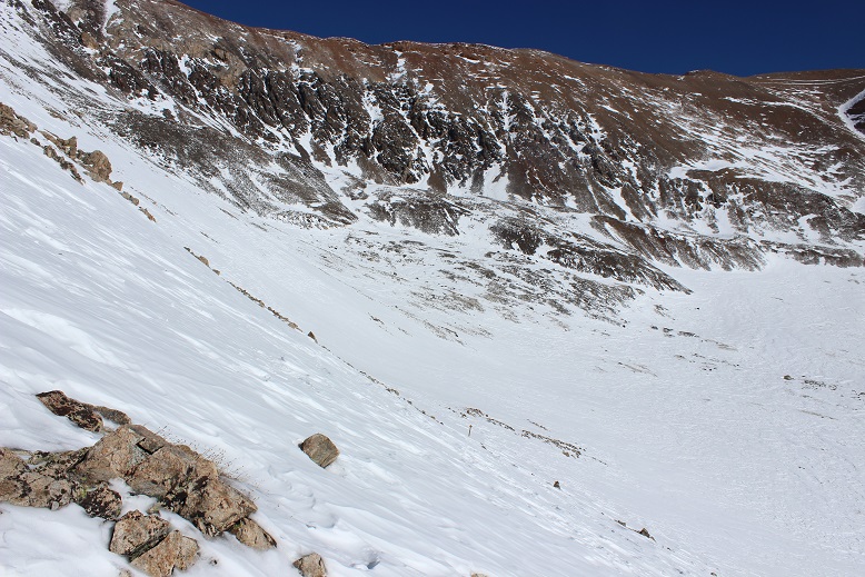
Here’s looking back at the slope from my way down later in the day

9

Now all I had to do was hike up the slope to the Democrat/Cameron Saddle

10

Luckily from here most of the mountain was windblown. I only ran into one or two tricky spots covered in snow. Here’s the view from above the saddle looking left at the hike up Mt Democrat. I just stuck to the ridge.

11

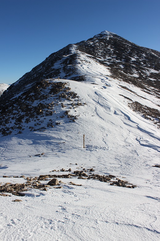
Yes, there’s a false summit on this one. Here’s the last bit of the trek to the summit

12

13

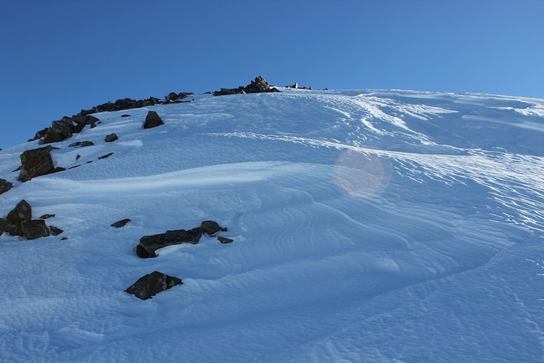
There was more snow than anticipated on this summit

14

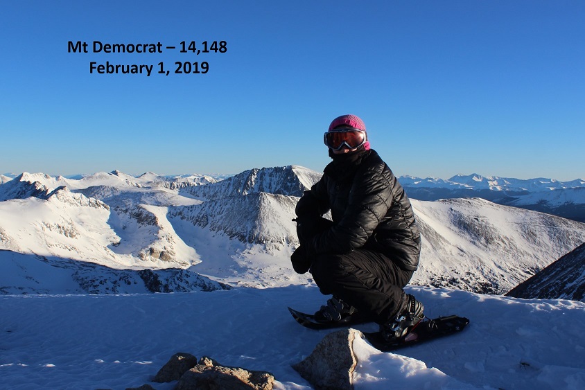
Here’s my summit photo

15 Democrat

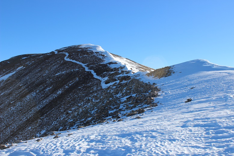
I turned and looked back at the ridge and the route up Cameron

16

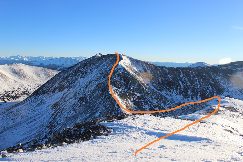
Here’s the route I took

17

From the saddle it looks steeper. The actual trail goes left and right, but I was able to just stay on the ridge (and snow)

18

19

For the final push to the summit you can clearly see the trail to the left outlined in snow.

20

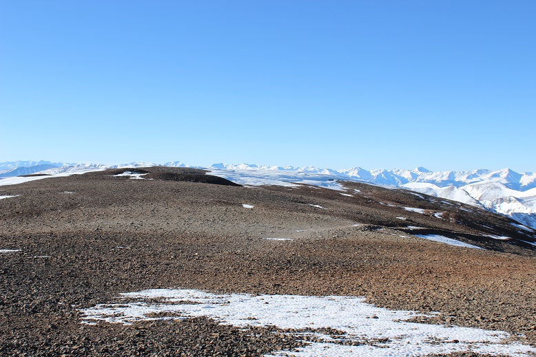
When I gained this ridge it was like I was transported to the moon: The snow was gone and there were small rocks everywhere

21

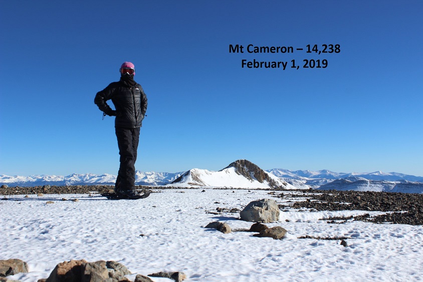
I took a quick summit photo

22 Cameron

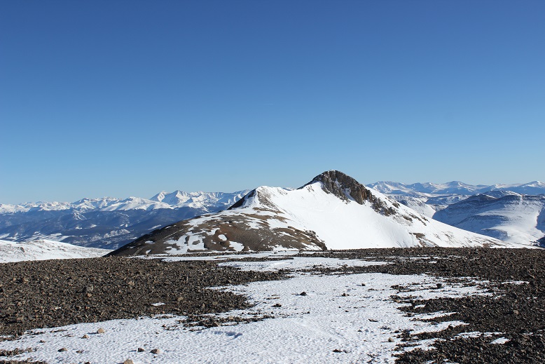
And looked over towards Lincoln

23

I was debating taking off my snowshoes for the rest of the hike. It looked like everything on this side of the mountain was pretty much windswept, so I took them off, walked about 20 yards, and looked down to this:

24

I should have kept the snowshoes on just for this last little bit, but I found a way around the stuff causing me to posthole. The path up Lincoln is obvious. About halfway up to the summit I ended up putting on my snowshoes again because the snow was deeper than it looked from Cameron.

25

This one had a bit of a false summit as well

26

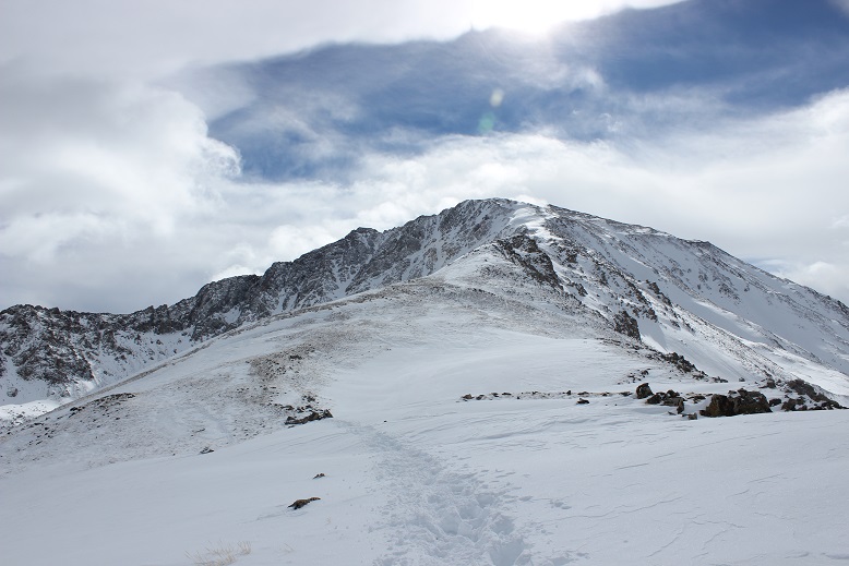
Summiting Lincoln was much easier than I remembered it from last time: Maybe it was the snow? Or maybe it was because the wind this time was nonexistent. In any event, I summited

27 Lincoln

There were two summit markers on this peak

28

So far my day had been pretty easy. I looked across at the route past Cameron and over to Bross, debating if I needed my snowshoes or not. There was only one area that gave me pause

29

I made it to the Lincoln/Cameron saddle, rook off my snowshoes, and hiked south. When I got to the slab of snow I put on my snowshoes and carefully began crossing the snow. This is much steeper than it looks, but with crampons on my snowshoes I felt secure

30

31

Here’s a look at the rest of the route up Bross

32

I didn’t think I’d be needing my snowshoes anymore so I took them off once again. I’m not a fan of taking them off and putting them back on again, but I’m even less of a fan of holding them (they’re too big to fit into my pack, and don’t fit nicely on the sides either). Also, it felt really warm. I’m not sure if it actually was warm outside or if it was due to the lack of wind, but I was actually starting to sweat. My hands were almost too warm in my gloves. I could get used to this!

It was a very quiet day. I hadn’t seen anyone else and the wind was silent, so imagine my surprise when I rounded the corner and saw this

33

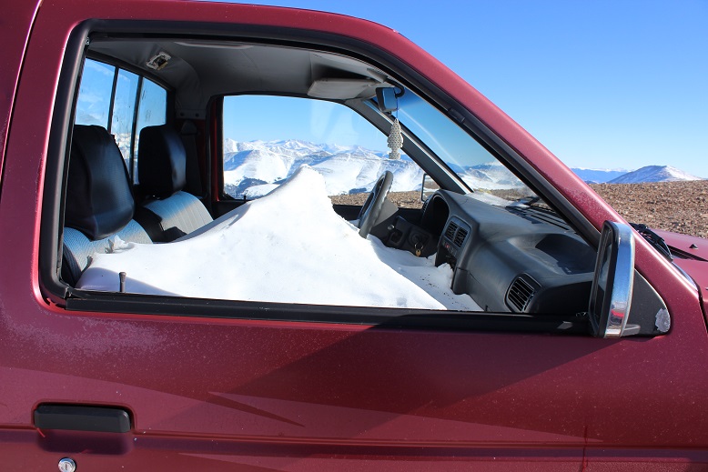
Hm. Someone else must be up here today. I wonder why I hadn’t heard them drive up? No matter, now I as on the lookout for people. Until I got closer and realized the vehicle had been abandoned. It looked like someone had tried to fix a flat and gave up.

34

What was even more curious was they left the windows open and keys in the ignition.

35

I’m not sure how long the truck has been here, but with the roads the way they are it isn’t going anywhere anytime soon.

I turned around to look at the way I’d come and decided I didn’t want to traverse that snow slab later in the day: on my way back I was just going to trudge straight up the hill to the summit of Cameron.

36

Since this is a mining area there are multiple roads to the summit of Bross. I just kept aiming towards the top and followed one after the other.

37

This felt like an easy summit

38

Here’s a look back at the route from the summit of Bross

39

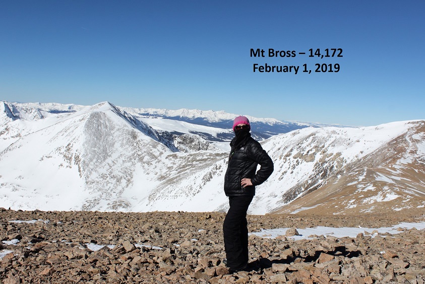
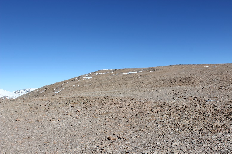
The summit of Bross was very similar to the summit of Cameron: barren except for rocks. It was also very large and flat

40

The last time I’d taken this hike I hadn’t known there was a “South Bross” and today I intended to make my way over there. There isn’t much of a trail, but the route’s obvious

41

I was losing elevation, and it wasn’t lost on me I’d need to regain about 150 feet in elevation on my way back (just for Bross, with more for Cameron) but the short .6 of a mile trek was worth it.

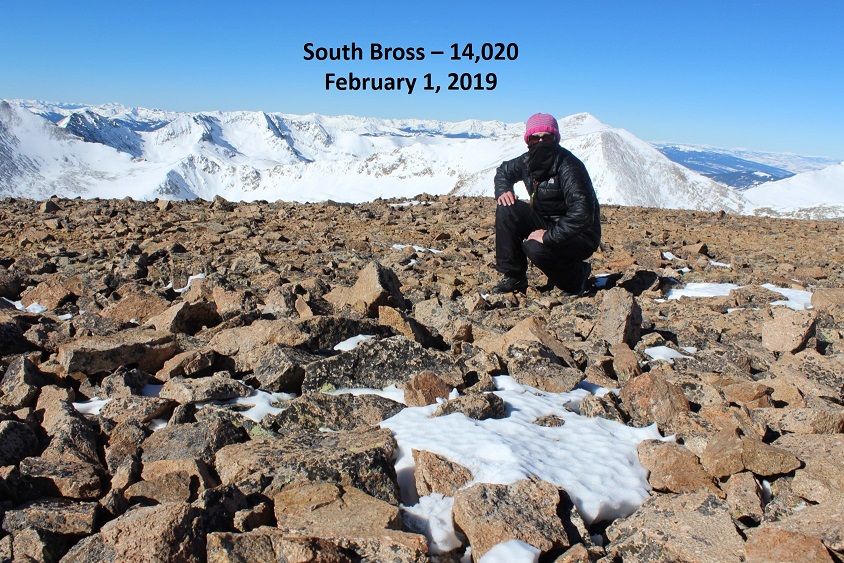
42 South Bross

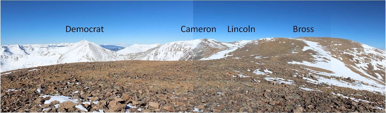
Here’s a look back on the entire route

43

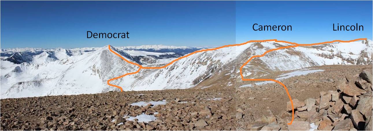
I turned around and headed back to Bross. From the summit of Bross I pondered my options. I still wasn’t sure if I wanted to make this a loop and head down the west side of Bross or re-summit Cameron and head back the way I’d come. The only reason hiking down Bross sounded like an ok choice was because it was shorter. However, I’ve experienced that screet before and it wasn’t something I ever wanted to experience again, either hiking up or down. Cameron had its drawbacks too: it meant an extra 300 feet of elevation gain in a short distance, and it added a couple of miles onto the trip. However, it also meant I’d get photos of the way I’d come. That was it, I was re-summiting Cameron, and not by way of the Cameron-Lincoln saddle. I was just hiking straight up the slope.

44

Yes, there was some snow, and it was steep, but very navigable

45

Here’s a look back at Bross and South Bross

46

Once I made it to the summit of Cameron (again) I had a great view of Democrat

47

Here’s a look at the route back. You can see Kite Lake is completely covered in ice and snow. Once again, the sections of snow below the Democrat/Cameron saddle were steep.

48

Here’s the route from Kite Lake

49

The 3 miles back to my truck from Kite Lake took a while, but I wasn’t bothered: I had all the time I needed today, and it was such a lovely day I didn’t mind the hike. Another plus was the lack of people. It was obvious I’d been the only one on this trail today. In the light of the afternoon sun I was once again glad I’d decided not to drive my truck any further on this road: it would have gotten stuck. In fact, just as I could see my parked truck I heard a noise and saw a truck smaller than mine come plowing down the road. I tried to wave my arms at them to indicate they shouldn’t drive further but it was no use. They continued on and got stuck.

50

They weren’t too happy about the situation either, and rudely refused my help when offered as if it were my fault they’d gotten stuck. I made it back to my truck at about 3 pm, making this a 16 mile hike in just over 10 hours.

51

Just for fun, here’s my Relive of the hike: https://www.relive.cc/view/2117888145

La Plata – 14,366 (Northwest Ridge – Winter Route)

1

RT Length: 9 miles

Elevation Gain: 4524’

I have a goal of completing 5 winter 14ers this season, but that’s going to be more difficult to accomplish than it sounds. The weather hasn’t been cooperating on my hiking days, so I’ve been highpointing and sticking close to home the past couple of weeks (Manitou Incline over and over again & summiting the 9K mountains behind).  I’ve only done one other winter 14er (Quandary) and my time is about to get seriously limited.  This happened on Friday:

2

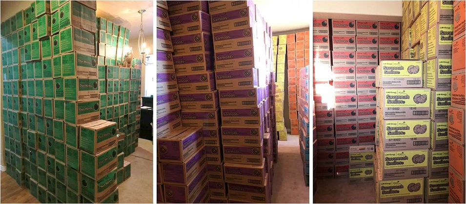
I volunteer as a cookie cupboard from mid-January through mid-March. This means Girl Scout Troop leaders come to my house to get cookies for their girls to sell.  I have 2 semi trucks full of cookies delivered to my house twice a week, and those cookies are all gone by the next delivery date.  (Think 20,000 cases of cookies, twice a week, in my living room, that have to be unloaded, sorted, and then loaded again when Troops come to pick them up).  It’s intense, insane, and a full time job on top of my already full time job:  I love it!  Oh, and my house smells amazing right now!  The only downside is it seriously limits the time I can allot to hiking.  I had to give up my Friday hike for a delivery but the weather looked good for Sunday so I just switched days.  I’m hoping to get in one more hike before sales start on February 3 (crossing my fingers).

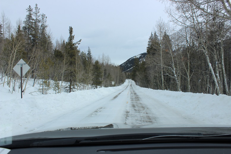
OK, back to business. I arrived at the trailhead at 5:30am, a little later than expected.  The drive in on Colorado 82 was a bit icy but manageable with no one else on the road.

3

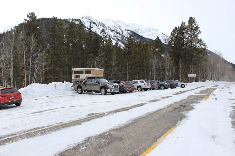
La Plata Trailhead was full when I arrived. I’m pretty sure I got the last spot.  It looked like several groups had slept at the trailhead overnight and were just now getting ready to hike (brave, brave souls to sleep at a trailhead in this 10* weather).

4

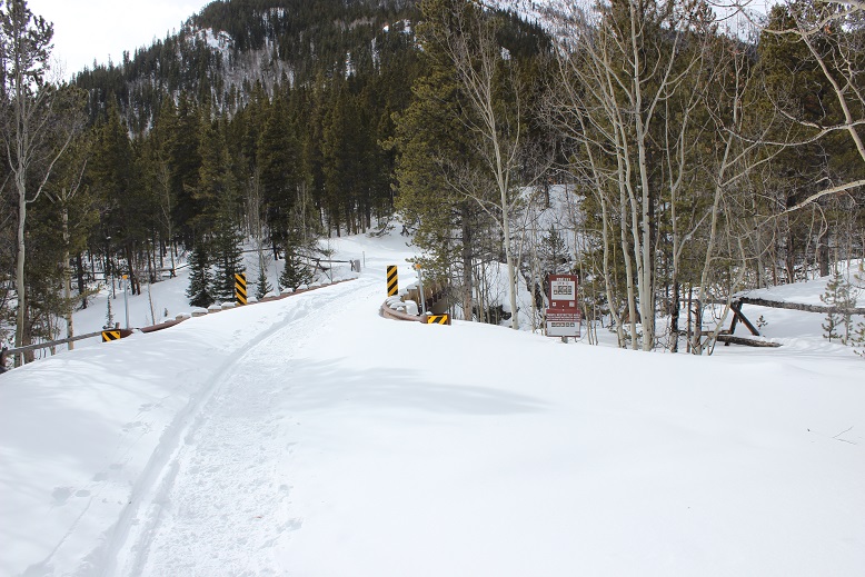
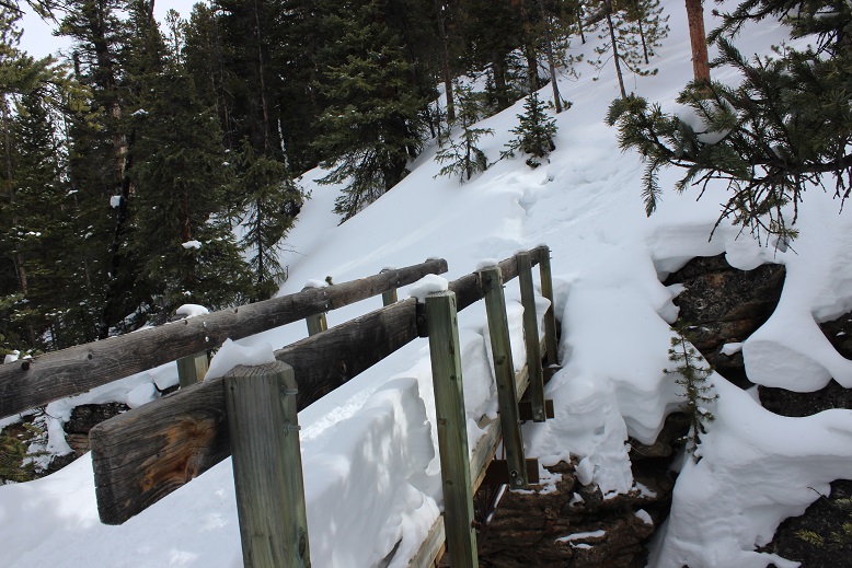
I was on the trail by 5:45am. The trail follows FSR 391 over a bridge and to the left.  The bridge was covered in at least 2 feet of snow, making the railings irrelevant.

5

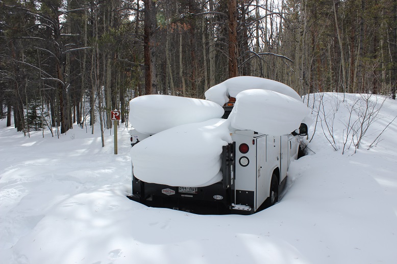
I passed an abandoned utility truck along the way and thought “that’s unfortunate”. I’m not sure if it was left here on purpose but it isn’t going anywhere anytime soon.  I’m fairly certain several rodents and small animals have taken up residence under the vehicle.

6

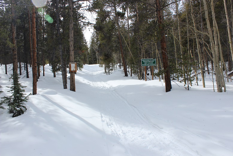
I continued on until I came to the trailhead on the left.

7

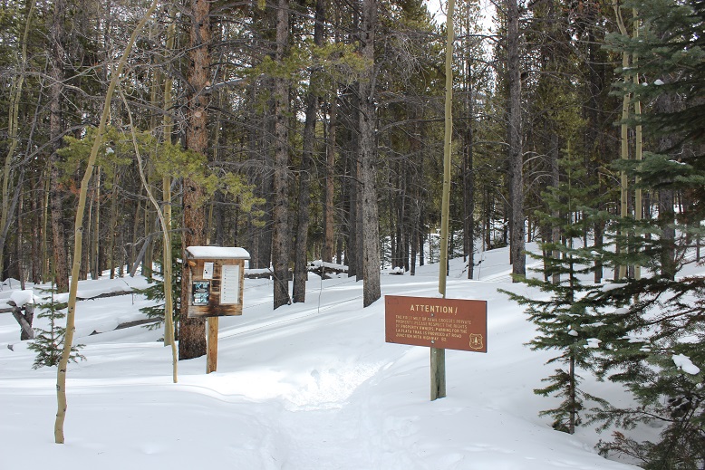
If you see these signs, you’ve gone too far

8

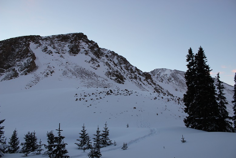
It was still dark, but knowing exactly where the trailhead was made finding it so much easier this time. The last time I took this route I’d missed the trailhead and ended up hiking at least a mile in the wrong direction.   The trailhead was also easier to find now because of the fabulous trench already in place.  This trench went from the parking lot just about to the summit, and made route-finding very, very easy.

9

I crossed another snow-filled bridge

10

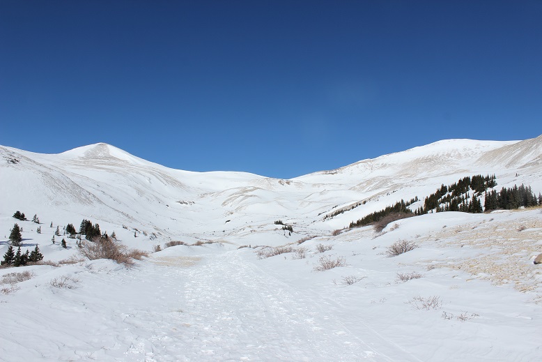
And shortly thereafter a snow covered log bridge. I remember this was very difficult to find in the early summer when it was overgrown and filled with new leaves.  No problem this time!
11

From here I never saw the log/stone steps as they were most likely covered in snow. I followed a trench that went straight up the ridge.  About halfway up the slope I smelled smoke and got a bit nervous (forest fire?) until I ran into two hikers taking a smoke break (no comment).  The sun started to rise just as I was exiting the trees, but I wasn’t yet high enough on the mountain to enjoy the alpenglow.

12

The trench up this part of the hillside was a bit sketchy at times because it was on a steep portion of the mountain, but it did lead me here

13

From here I had to gain the ridge. I hadn’t expected a gully?  This wasn’t too terribly difficult, but it had been unanticipated.  Here’s the route up

14

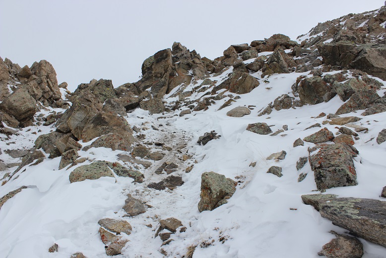
The gully was much steeper than these pictures make it look. Here there was no trench, but instead a mixture of scree, snow, and unstable rocks that didn’t provide much traction.  Wearing my snowshoes helped.

15

Here’s a look back down from the top

16

And my view as the sun continued to rise

17

The sun never fully rose today, as it stayed behind La Plata and the ridge for hours after sunrise and then hid behind clouds. From the top of the gully the ridge was just beginning.  Here’s the first obstacle

18

And from there the rest of the ridge

19

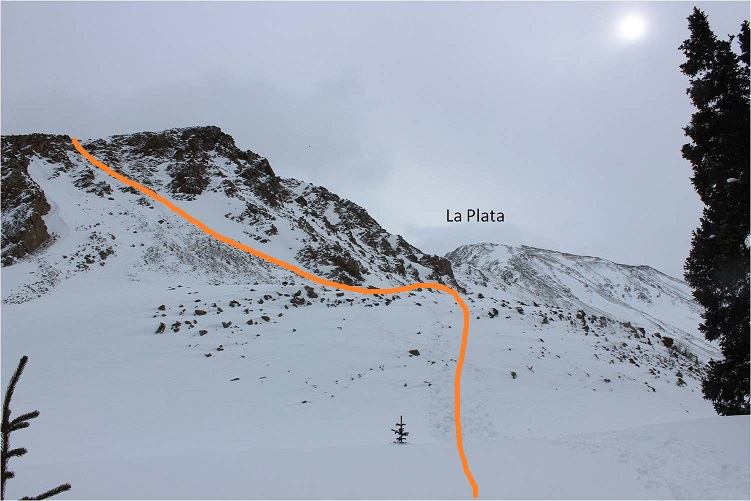
Here’s the route

20

This ridge is much longer than it looks, with a few ups and downs along the way. Besides the trench there wasn’t a visible trail, but luckily it is very straightforward and all you need to do is follow the top of the ridge.

21

I came upon some spots where my ice axe and the crampons on my snowshoes were helpful (side note, the straps my snowshoes are still a major pain).

22

At about this point the wind started picking up. I wasn’t physically tired but I was having trouble breathing.  Because my balaclava was covering my mouth I wasn’t getting a full breath of air, making each breath only half as effective as it normally would have been.

23

I kept trudging on, knowing I wasn’t in a hurry today so I could take as much time as I wanted. When I reached this cairn I turned left and wondered if the hill to the right had any significance?

24

From this point the wind really kicked into high gear. I was having difficulty standing up at times but wasn’t worried about falling (there was no real danger of falling anywhere that would send me very far)

25

26

I headed up this small rocky stretch

27

And came to a flat(ish) summit area

28

I’m not sure what time I summited because I’m doing this new winter hiking thing where I don’t take out my phone unless it’s an emergency, but it was most likely between 9-10am.

29

I’d thought about summiting East La Plata today but once I got a good view of the way there and considered the current wind conditions I thought twice about my intended second summit. It’ll have to wait for another time.

30

The views from the summit of La Plata were breathtaking

31

32

Because of the wind I didn’t stay too long at the summit. It also looked like snow was coming in:  Not on La Plata, but the surrounding mountains.  Here’s a view from the summit of the ridge

33

OK, time to head back

34

Just for fun I decided to climb the little hill before heading back down the ridge

35

Here’s a look at the summit of La Plata from that hill

36

Here’s a better look at the ridge and my way back

37

The sun never quite made it out all the way: it kept hiding behind thin clouds.  It was about here I caught up with the two hikers (now a party of 4) I’d seen taking a break on my way up.  They only had on microspikes but seemed to be doing just fine (my snowshoes were most likely overkill on the ridge).  A little bit further down I saw where they’d stashed their snowshoes.

38

As I kept descending I started running into more hikers. I thought this was a cool pic of a young man starting his trek up to the summit

39

The rest of the way back was fairly straightforward. The ridge had a great trench by this point and I could tell where those who’d ditched their snowshoes or hadn’t worn them had post-holed up to their waist on several occasions. The short descent down the gully made me wish I’d brought a helmet, as now bowling ball sized rocks were set loose both above and below me as I made my way down.  I breathed a sigh of relief when that was over and I followed the trench back to my truck.

Once I made it to treeline the sun stayed behind the clouds and I could tell it was snowing on nearby peaks. Despite the summit wind it had been a very nice and quiet hike.  I didn’t see any animals or very many animal tracks in the snow. I made it back down to my truck at 1pm, making this a 9 mile hike in just over 7 hours.  Oh, and total bonus for today:  My hands didn’t freeze!  They didn’t even get cold.  In fact, they were sweating in my mittens when I made it back to my truck.  Two of my toes were blue, but nevertheless I’m considering today a huge success in the ‘cold’ department!

40

2 winter 14ers down for the year, 3 to go!

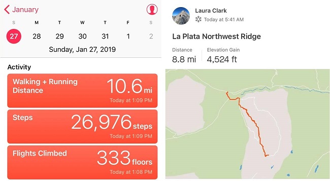
Just because they’re fun… here’s my Relive (I thought it was interesting this says my elevation was at 14,338 when La Plata’s elevation is 14,336): https://www.relive.cc/view/2107811469

The views from winter 14ers never disappoint

41

Manitou Incline x 2 & Mt Manitou 9460

1

RT Length: 11.5 miles

Elevation Gain: 4865’

The weather was absolutely perfect today for a hike, but the avalanche danger was high above treeline so I decided to play it safe and stay local. I set my alarm for 3am, decided when it went off that was way too early considering I didn’t need to drive far, and set it again for 4:20am.  The cats woke me up around 6am, wondering why I was still asleep.  I jumped out of bed, silently cursed my alarm for not going off a second time, realized it was user error on my part, and decided to head out hiking anyway as the sun wasn’t yet up.

There was a man attending the incline parking lot when I got there. He informed me today was the last day they were allowing parking at this lot, as they were going to use the lot as a storage area for equipment needed to fix the cog railway.  This was interesting information, and means I’ll have to either park at the shuttle lot (gasp!) or find other parking downtown if I want to hike the incline for the next two years. I made it to the trailhead at 6:40am and was on the trail by 6:50am.

2

I usually hike for time when I hike the incline, but today I’d planned on just taking it slow and steady as I planned to hike it more than once. The steps were either completely dry or completely covered in snow/ice.  I was glad I’d brought my microspikes.

3

Just before 7am the sun started to rise. There were clouds in the sky so I never got a true view of the sunrise, but it was still beautiful

4

There weren’t many people on the trail this early in the morning (there’d only been one other vehicle in the lot) so the trail was nice and quiet. I only saw about 5 or 6 people on my way up.  I summited the incline around 7:30am.

5

The 2.5 miles down the Barr trail was icy most of the way to the parking lot. Once again I was glad I’d brought microspikes.

6

OK, time to start this again. Once again I continued up the stairs, slow and steady.  It was warmer now but microspikes were still needed.  There were also many more people on the trail.  I felt overloaded in my knit hat, snow jacket, and with my pack full of gear while everyone else was in shorts and only carrying a water bottle, but I didn’t intend to stop at the top this time.  I summited the second time at 9:30am

7

I’d had enough of people (there were dozens on the trail now) and decided to try to find the summit of Mt Manitou. I had a trail map that gave me the general direction of where the mountain was, but knew there wasn’t an established trail so I’d have to get creative to find the summit. I also couldn’t find any trip reports online, so I didn’t have more than my topo map to go by. I headed up the dirt road behind the incline towards the Barr Trail.  Here I found a trail that paralleled the 4WD road and decided to take it instead

8

It led me to a cave

9

And then brought me back to the Barr Trail where it intersects with the experimental forest.

10

I’ve hiked in this general area dozens of times and I’ve seen the sign for the experimental forest every time, yet I’ve never taken that route. Today was my day!  I knew this trail would get me close to Mt Manitou, so I followed it and quickly came to the old experimental forest area.

11

I continued to follow the dirt road covered in snow up and around past the experimental forest. When I was sure I was close I got out my phone and pulled up my Peakbagger app. It showed Mt Manitou as being NWN from where I was, so I aimed my compass in that direction and started hiking off trail.  This is where I really could have used snowshoes.

12

I was sinking up to my shins in show but the good news was there wasn’t any wind so it would be easy to find my way back just following my tracks. I could tell I was getting close to the summit when the snow lessened.

13

Still no trail, I kept hiking upwards, and soon I was at the ‘summit’. This was a treed summit with a lot of rocks.  One of them held a cairn and that was my only indication of a summit (that and it was the highest point around)

14

I climbed up on the rock both to make sure I was on the highest point

15

And to get a picture

16

And a video:

Mt Manitou Summit:

From the summit I could also see Cameron’s Cone, Almagre, and Pikes Peak

17

Ok, time to head back down. This was super easy as I just followed my earlier tracks back to the 4WD road and the 3.5 miles back down to the parking lot. This time the Barr trail was slushy and I was kicking up rooster tails of dirt onto the back of my pants.  I made it back to my truck at 12pm, making this a solid 4865’ of elevation gain 11.5 mile hike in under 6 hours.

18

The relive on this one is kind of fun

Relive:

https://www.relive.cc/view/2092516509

Black Mesa – 4973’ Oklahoma Highpoint

1

RT Length: 8.6 miles

Elevation Gain: 734’

Once again the weather in Colorado was terrible, but at least I had a few days’ notice to make other hiking plans. I have backup plans for when the weather isn’t swell in the high country, and today’s plan was to drive to Oklahoma to do some highpointing.

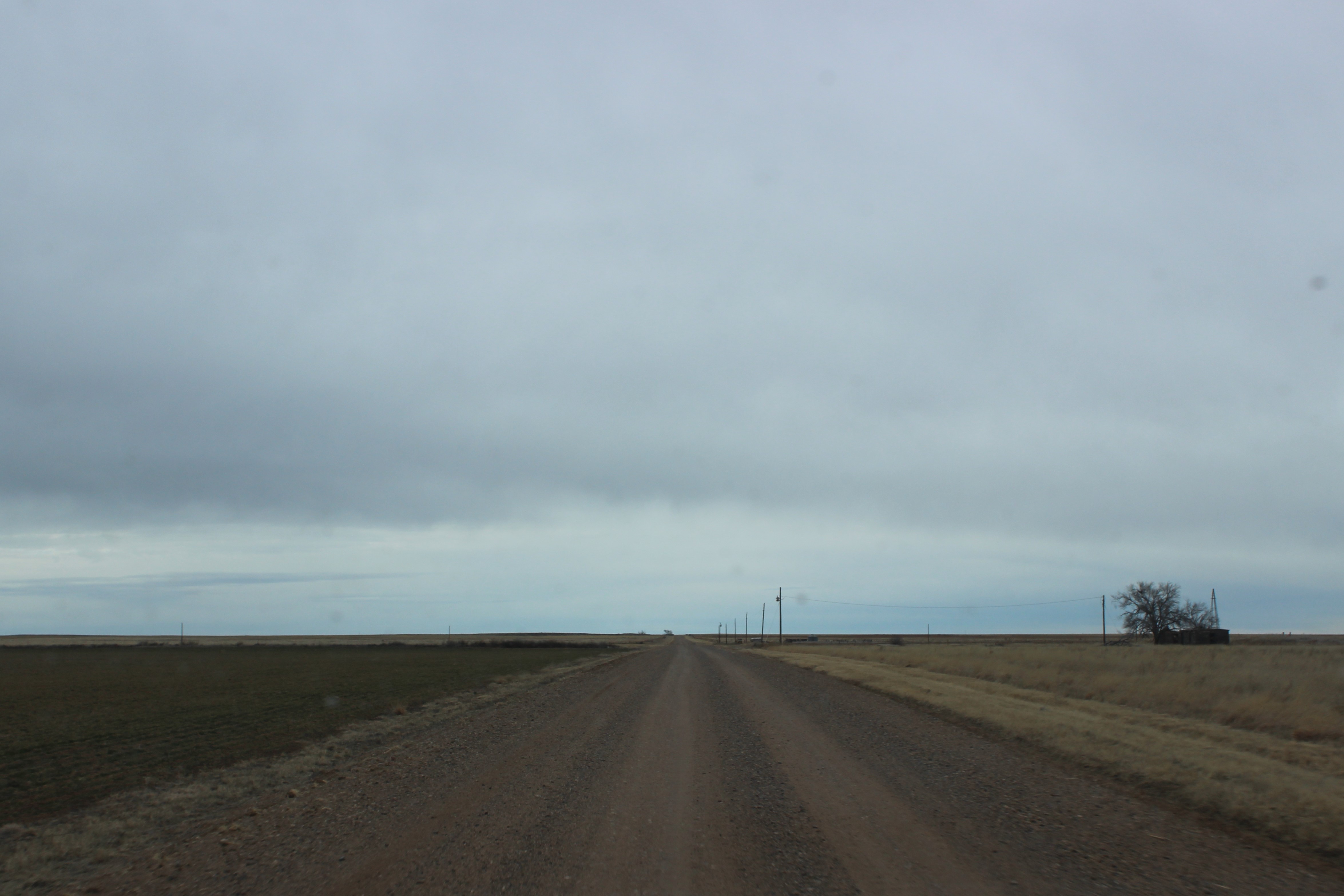
The highest point in Oklahoma is (not surprisingly) close to the Colorado border. I left the house at 2:30am and quite enjoyed my commute until I turned off the main road and onto a dirt road with 26 miles left to the drive.  Also, I completely lost cell service.  This wasn’t a big deal as I knew my GPS would get me to the trailhead, but I was worried about finding my way back to the paved road on my return.  It was quite dark and I couldn’t see any landmarks to guide me back.  There were 6 or 7 turns, and I mentally thanked myself for printing out directions and bringing them with me.   The dirt road was littered with cow patties and I could see cow eyes glowing at me in the dark.

The last bit of road took me down a one way dirt path with 2 foot tall grass growing between the tire ruts and then through a stream crossing I was sure was over a foot deep, but I made it without a hiccup.  I arrived at the trailhead at 7:30am (after crossing a time zone, so it was 6:30am to me), gathered my gear, and was on the trail.  It was still dark out.

My vehicle was the only one in the medium sized parking lot. There was a bathroom that was open and a wheelchair accessible parking space.

2

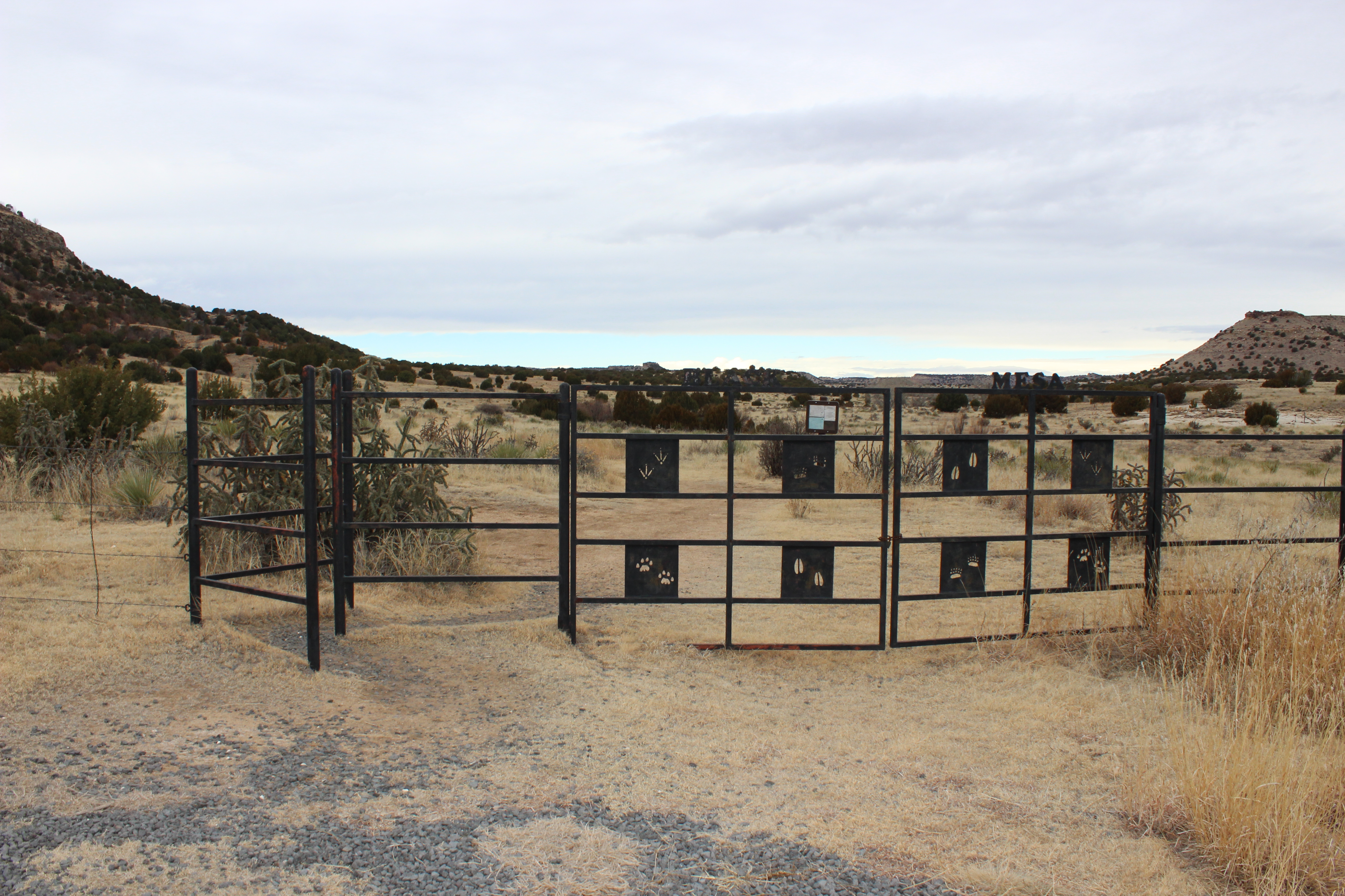
The trailhead started behind a gate that ensured only foot traffic proceeded. I signed my name in the trail register and was on my way.

3

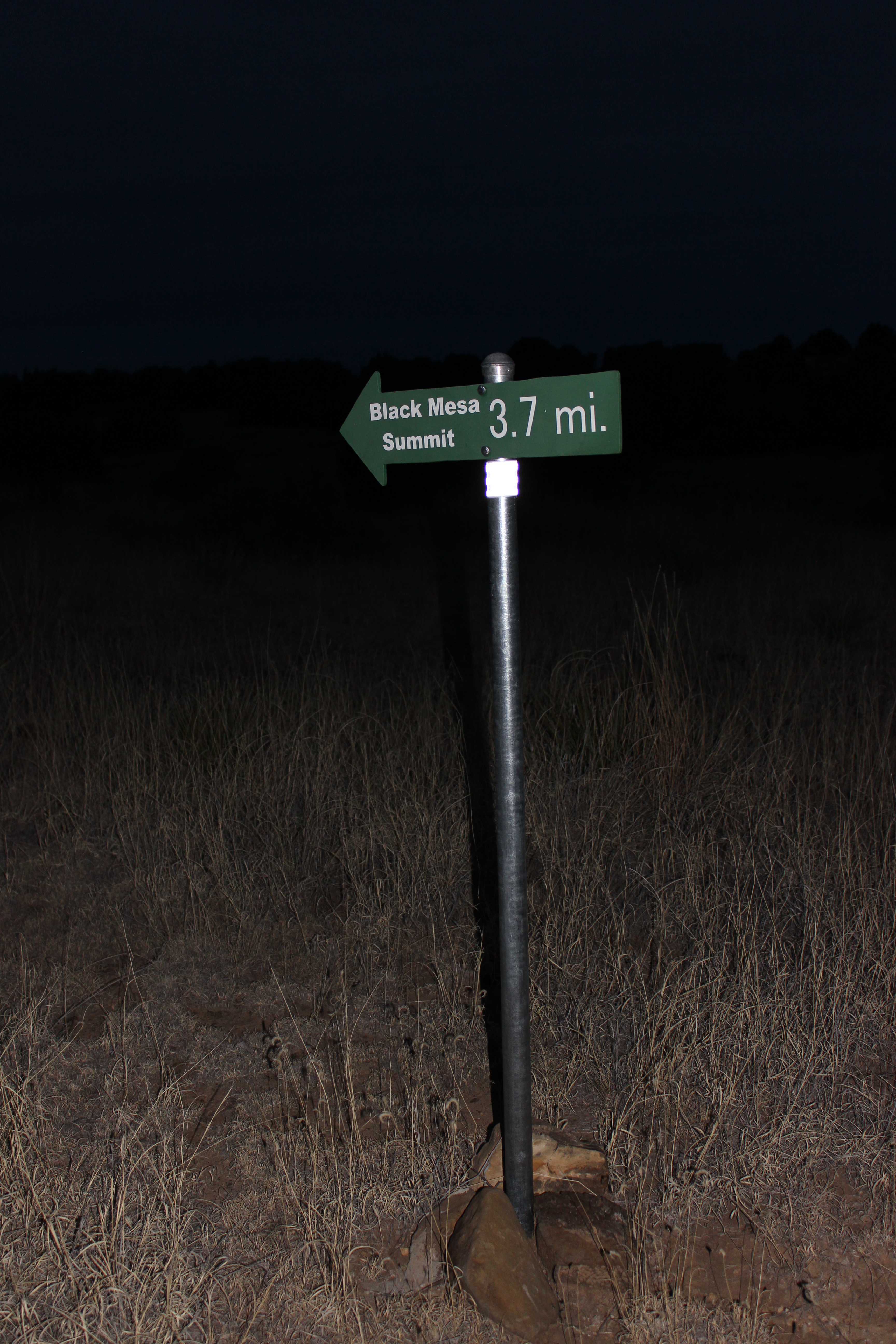
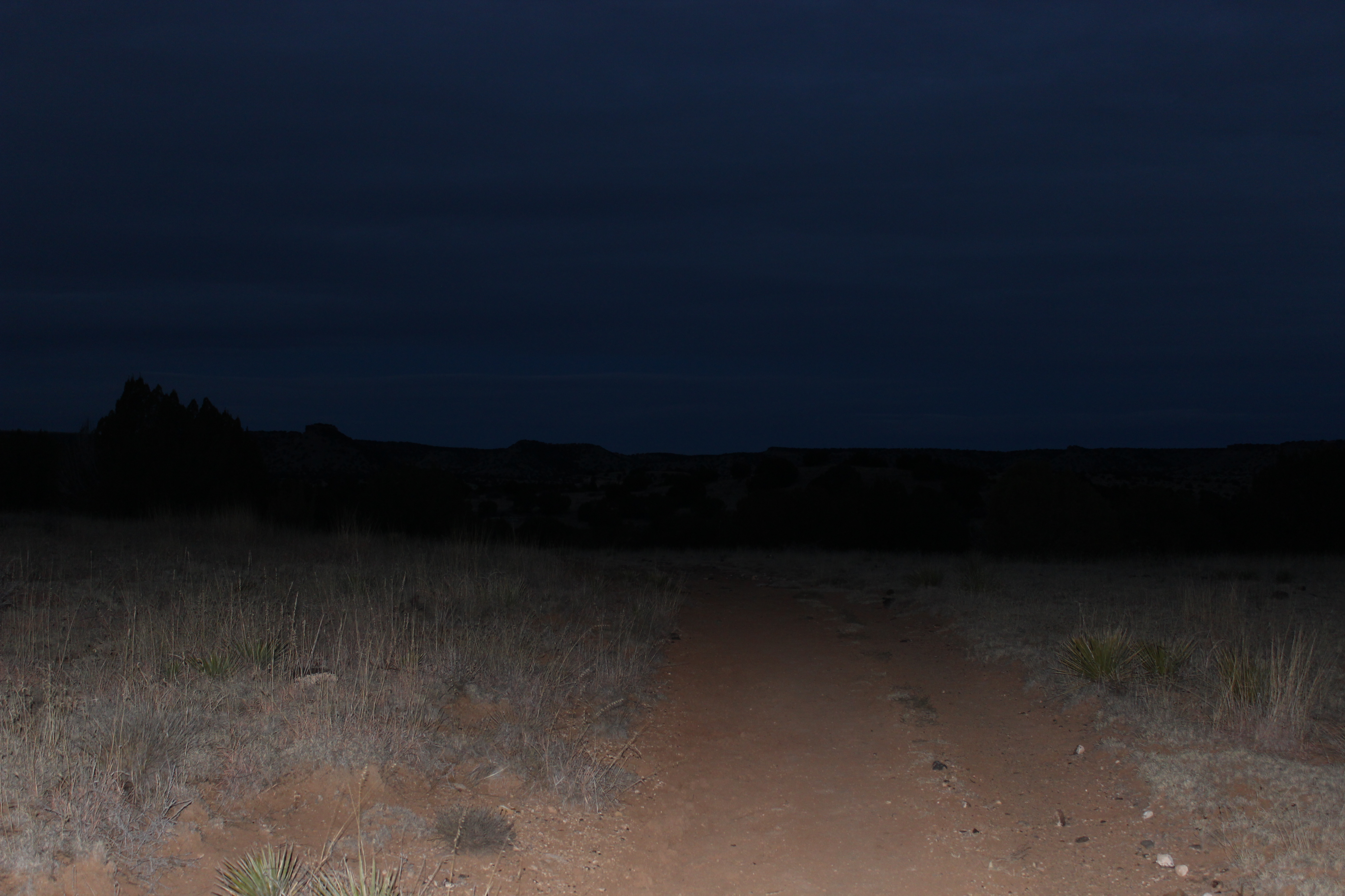
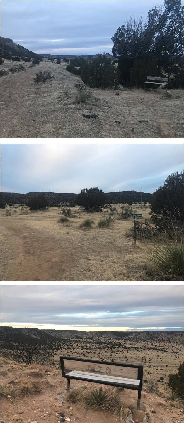
It was still dark when I started and I was a bit worried about forecasted wind and the potential for rain later in the day. Route finding ended up being no problem at all.  The trail follows an old 4WD road with signs every quarter mile or so marking the way.

4

So even though it was dark it would have been difficult to get lost

5

At mile 1, 2, and 3 there were benches where you could potentially sit and rest, but since this was a fairly level hike I just took pictures and kept on

6

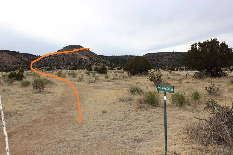
After mile 3 the trail took a sharp turn towards the mesa and up what the instructions called switchbacks but the route never really switched back: instead it was a trail that circled up the hill.

7

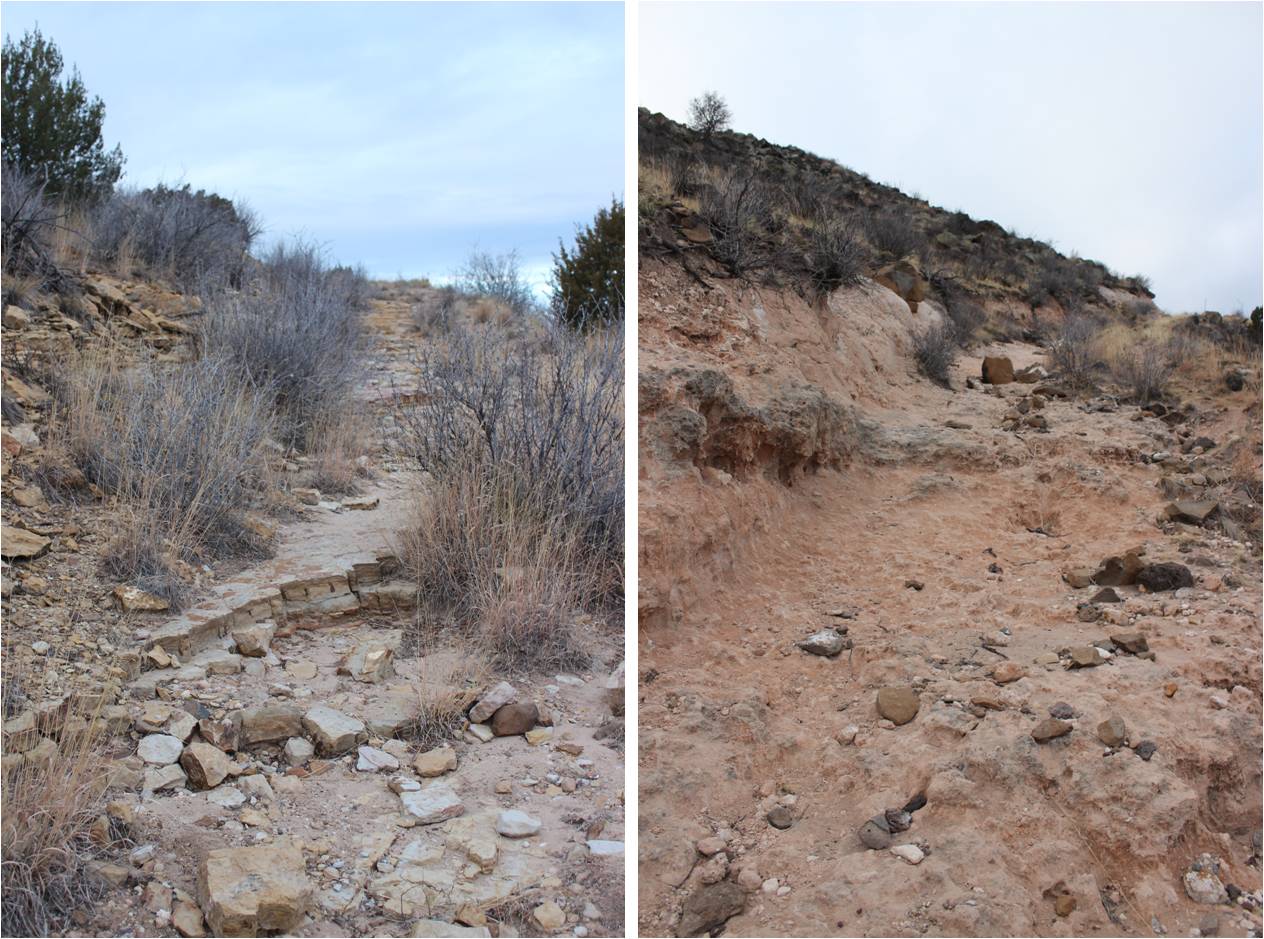
The trail up to the top of the mesa was washed out but it was still easy to follow.

8

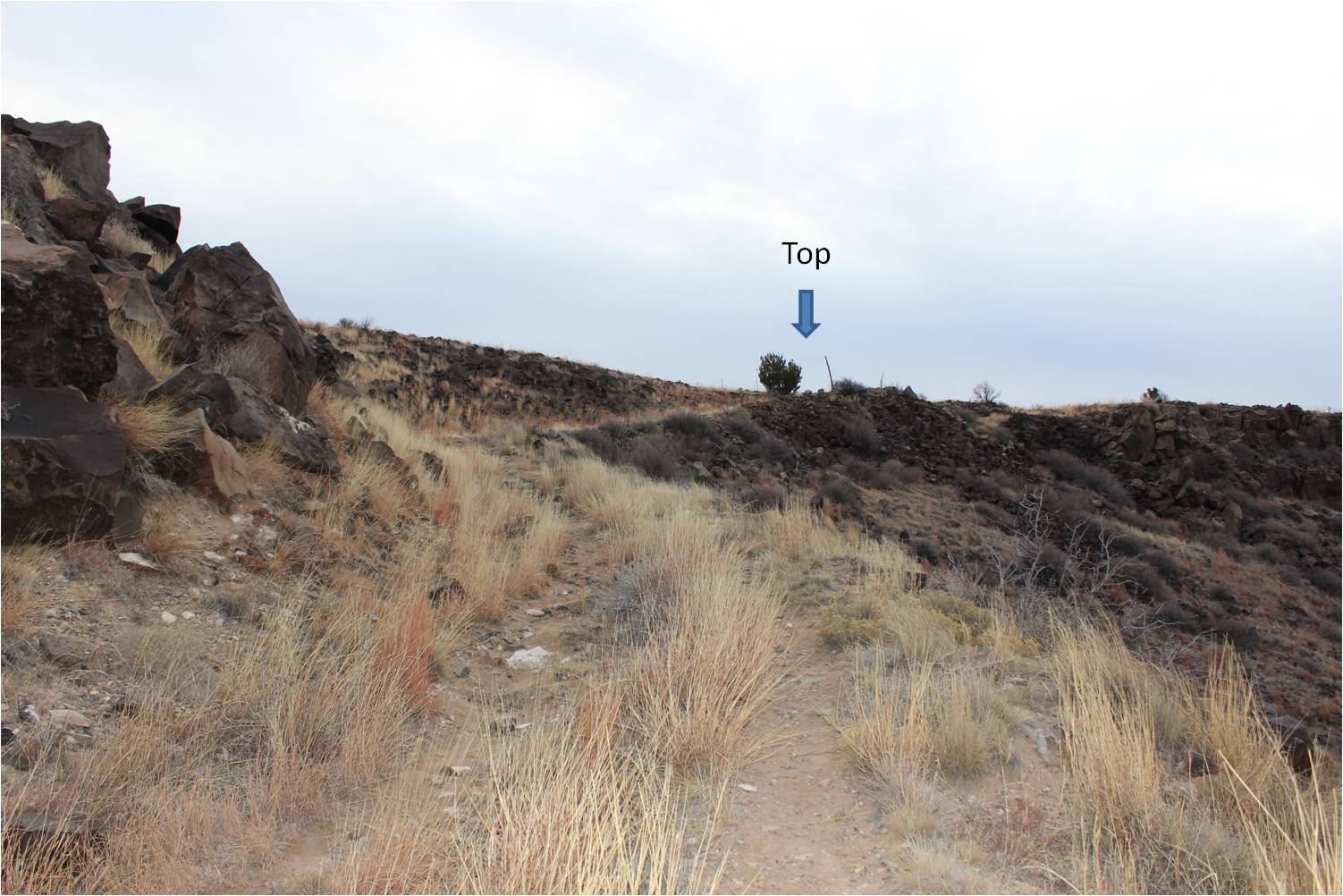
In no time at all I’d reached the top of the hill

9

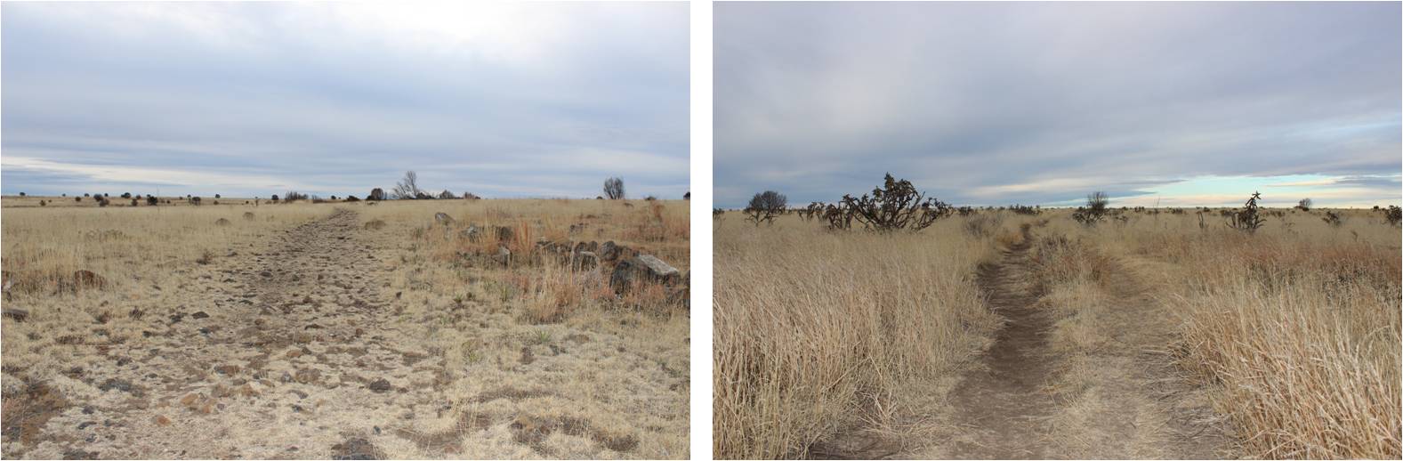
From here there was another mile or so to trek, but it was across the flat mesa

10

Once again, the path was clear and easy to follow. I made it to the summit at 8am after 1.5 hours of hiking.

11

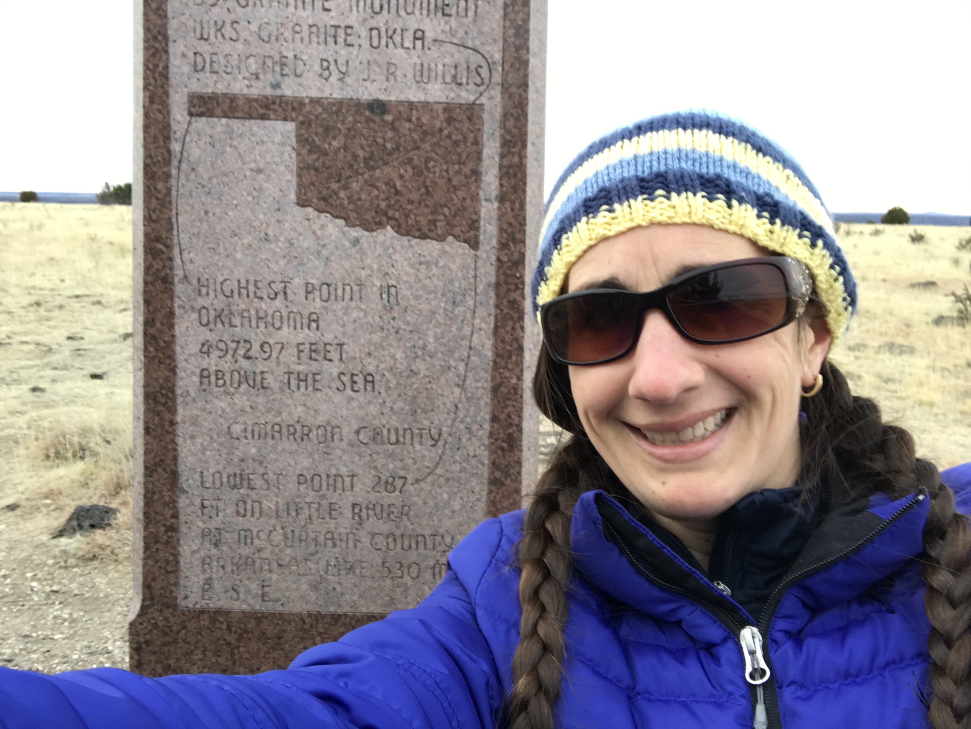
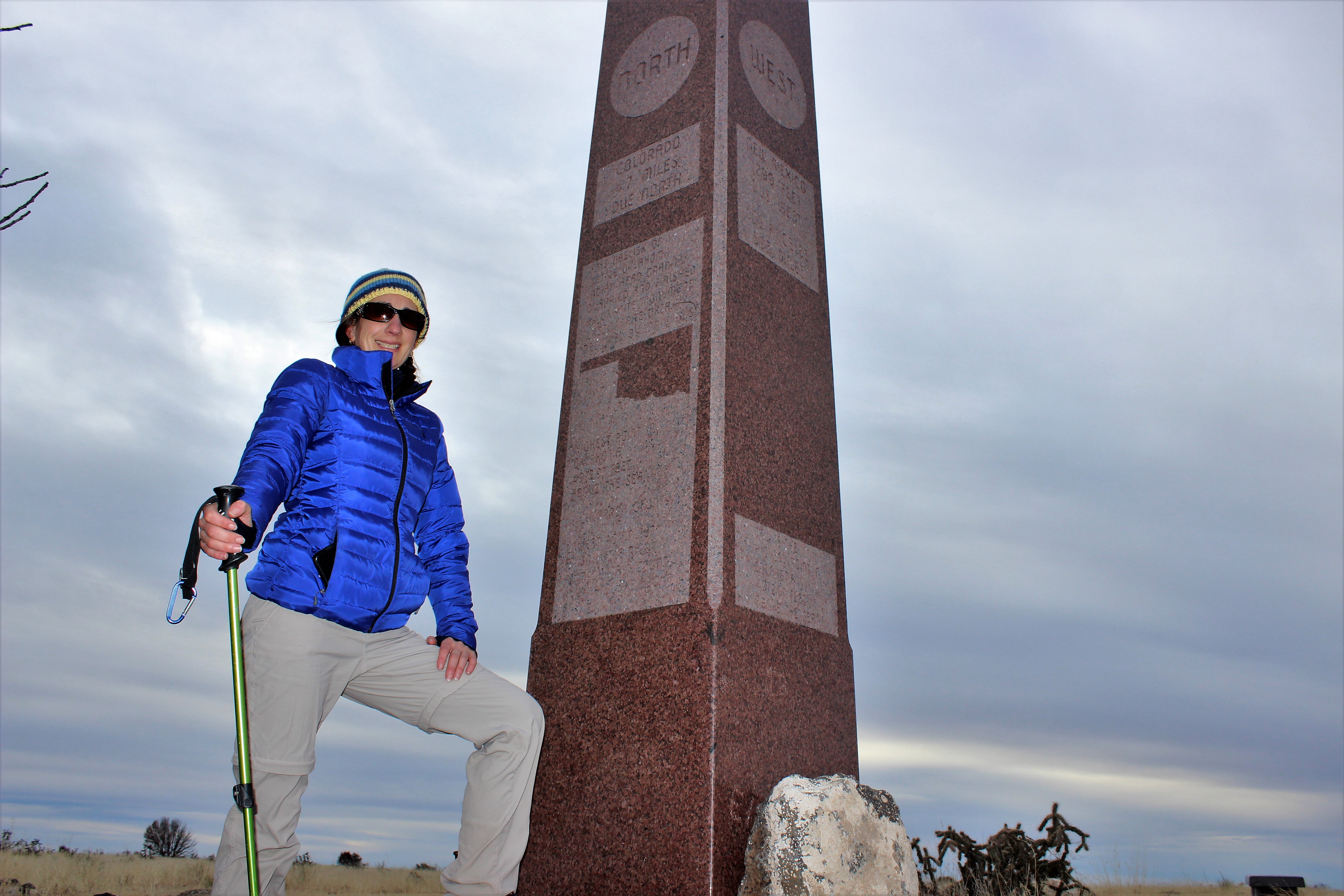
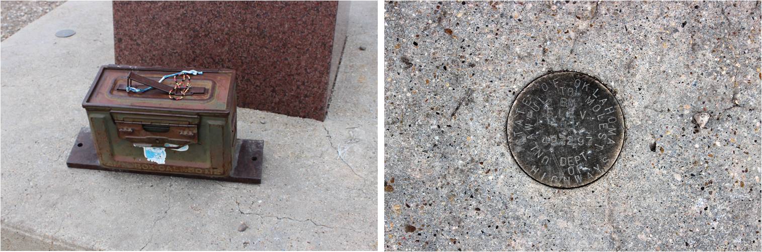
The summit was… flat. It didn’t feel like a summit at all.  I was surprised to find a summit register and elevation marker.

12

Summit 1 :

Summit 2:

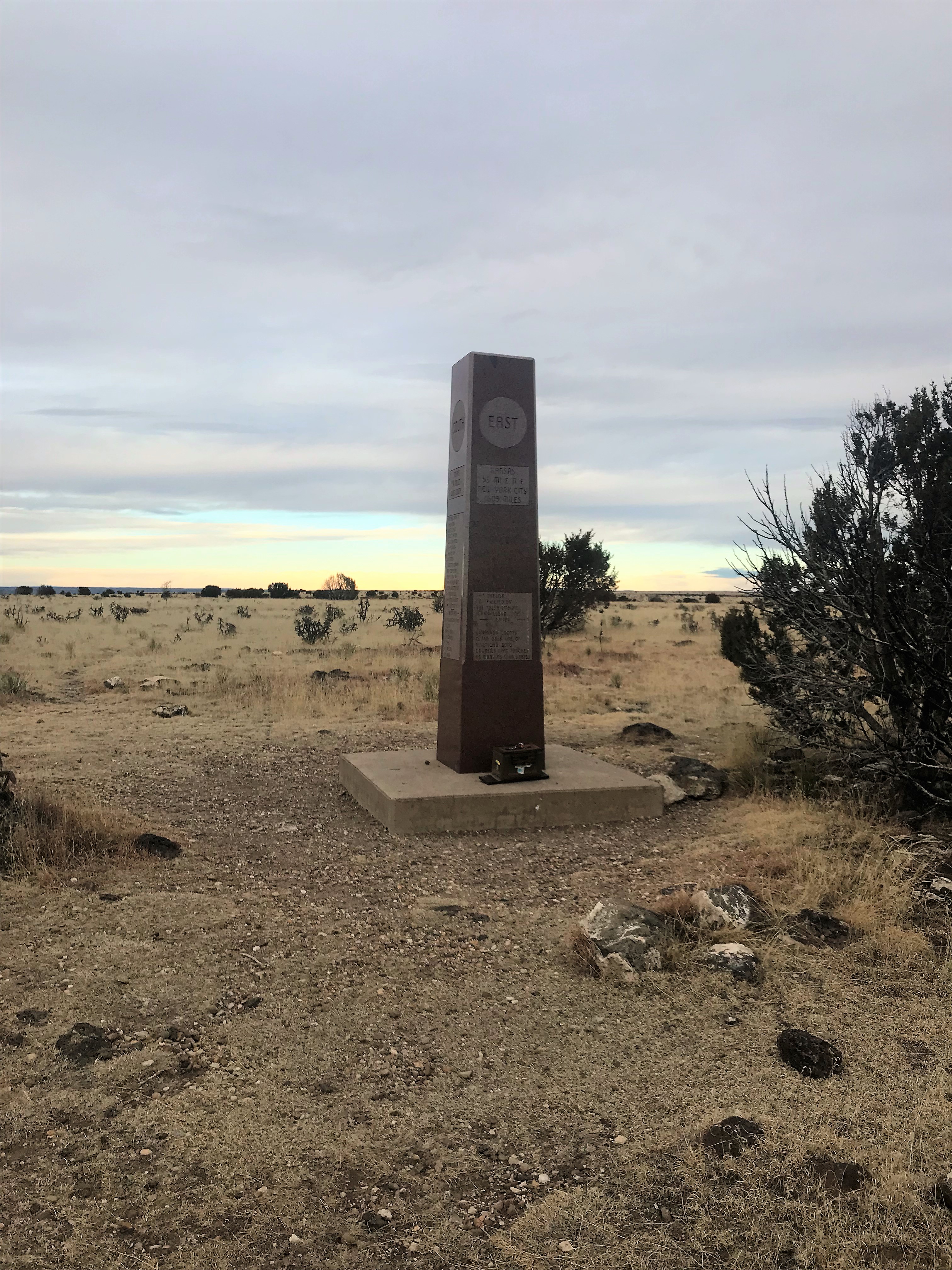
The obelisk at the summit was rather detailed and contained information on how far the different states were away from this point as well as a few other state facts

13

Ok, now it was time to head back down. I enjoyed the views on the mesa

14

Here’s the route back to the trailhead

15

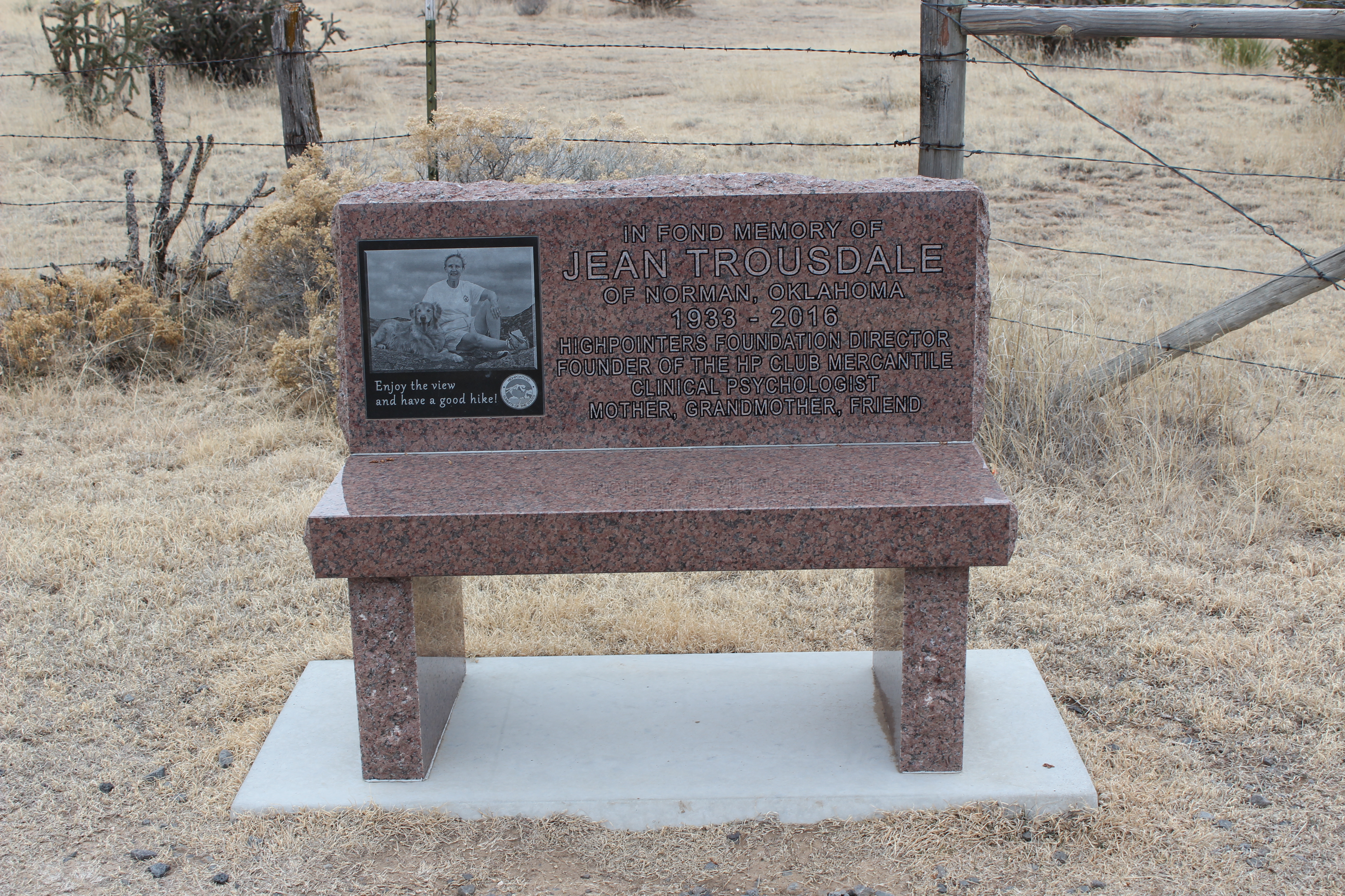
I made it back to the trailhead at 9:15am, making this an 8.6 mile hike in 2 hours 45 min. Back at the trailhead I saw a bench I’d missed in the dark, dedicated to an avid highpointer

16

This hike was very easy. There was minimal elevation gain, and you could probably push a stroller on this hike and get it to the summit without too much difficulty. I didn’t see another person all day, but I did see dozens of cows.

Cows:

Oh, and in the light of day there weren’t any landmarks to guide me on the dirt road back home either. Once again, I was very glad I’d pre printed out directions to assist me on the way back.

17

I made it back to the paved highway without making a wrong turn, and just in the nick of time too because it started raining violently. The weather back home was much worse, as the snow anticipated for 4pm came roaring in with a vengeance around 10am and closed the freeway north of my house.  I’d made the correct choice today to head south and go highpointing instead of into the mountains near home.

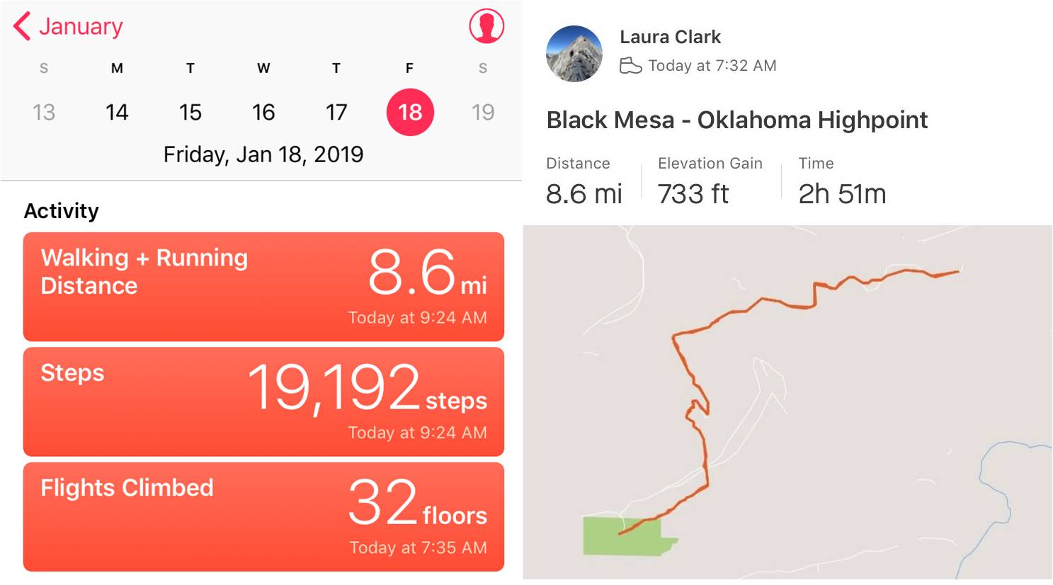
Here’s the track of my route and stats for the day

Relive:  https://www.relive.cc/view/2087219413

18

Hoosier Ridge – 13,352 Red Mountain C – 13,229 Red Peak A – 13,215

1

RT Length: 12 miles

Elevation Gain: 4000’

I was really excited to get to go out above treeline for the second time in as many days, but my feet were not. They still hadn’t recovered from yesterday’s trenching up Quandary.  The entire drive to the trailhead my left pinky toe kept cramping up and I had to wiggle it to get the sharp pains to stop.  It was still a bit swollen, red, and tender to the touch.  This is normal for me the day after a winter hike and it’s usually better within a few days, just in time for my next hike. I’d recently bought some toe guards and new compression socks I was hoping would help today.

The roads this morning were much better than yesterday but due to ice I still didn’t make it above 40mph for much of the drive. I realized when I was about halfway there I’d forgotten to take my vitamins before I left the house.  I hope that didn’t come back to haunt me later.  I arrived at 5:30am and was on the trail by 5:45am.  I put on my snowshoes in the truck with my microspikes on underneath once again (I’d not worn spikes with my snowshoes yesterday and the straps had still come undone, so I decided wearing microspikes didn’t have an effect on the snowshoes).

While it was 1* outside I was happy to discover my toes stopped hurting before I’d even crossed the street to start on the trail, and they didn’t bother me for the entire hike. I quickly warmed up as I started hiking.

Today I planned on trying out an experiment. I was going to keep my phone in my pocket on airplane mode and I wasn’t going to use my phone today for any reason until I made it back to the trailhead.  I wanted to see if this helped retain battery life in the phone. The downside of this is I wouldn’t know what time I summited or have the ability to take videos of the summit.  (side note:  my phone is normally on airplane mode when I’m hiking).

While I was hiking Quandary yesterday I studied Hoosier Ridge. It was snowing lightly on the summit so I knew even if there had been a trail it was gone now.  Also, the conditions looked favorable for a climb.

2

I was pleasantly surprised to find someone had trenched a trail through the willows yesterday, and it was intact until I made it to the towers area. This made the beginning of the hike easy.  From here I zig-zagged and trenched my way up the slope to the beginning of the ridge.

3

4

At the top of the slope I followed the ridge. At the top of each bump there are cairns, making route finding easy.

5

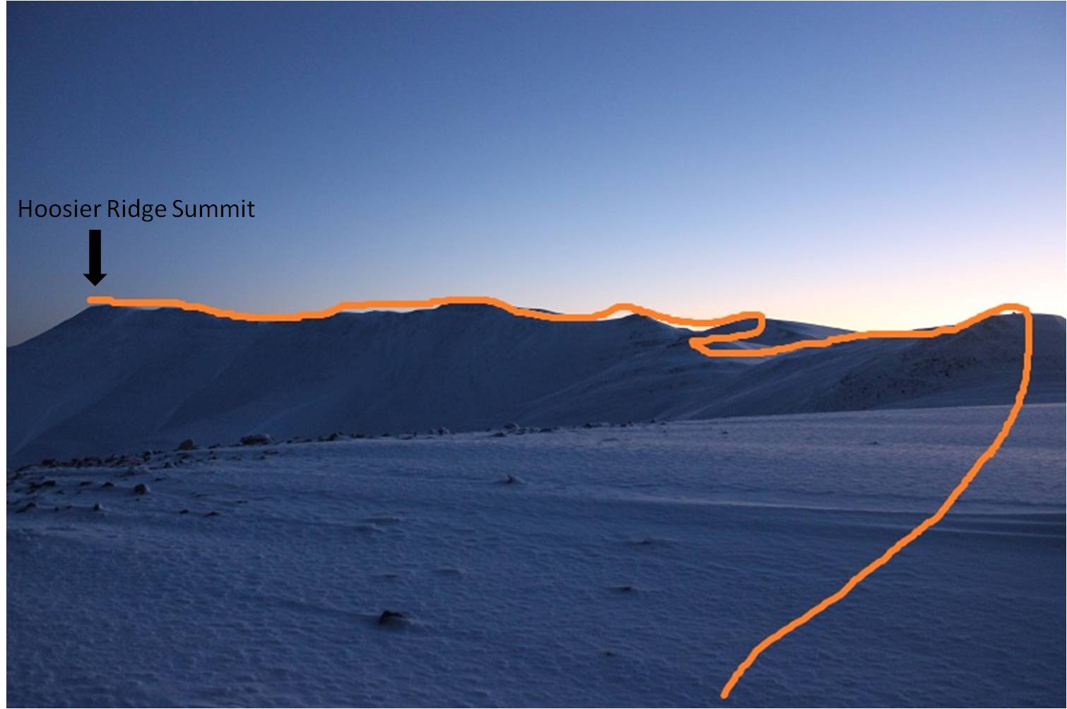
Here’s the route I took along the ridge.

6

There weren’t any tracks to follow for the rest of the hike, but the snow wasn’t too deep, making trenching easy.

7

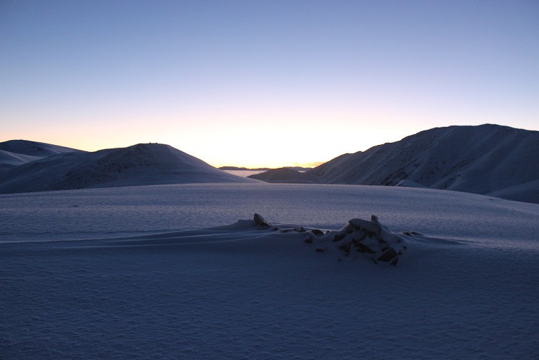
I looked back over my shoulder as the sky lightened. The mountains were amazing this morning!

8

9

I reached the top of the slope just as the sun was beginning to rise over Mt Silverheels. I love alpine sunrises!

10

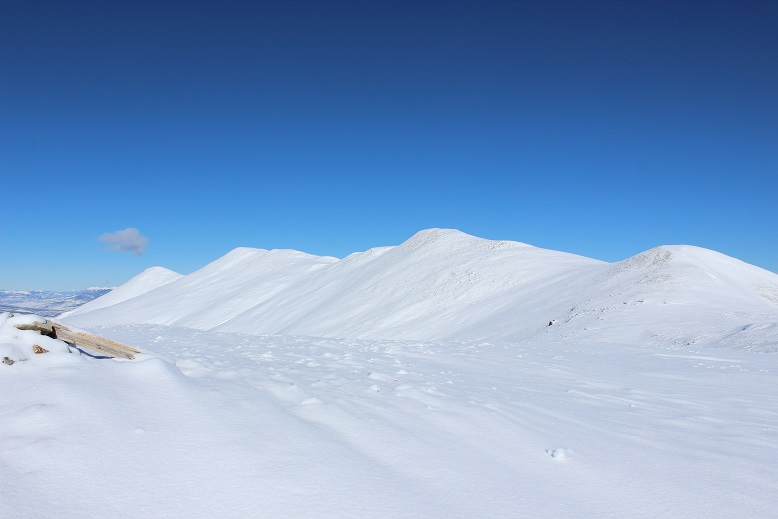
As I said before, I just followed the ridge… and kept following it, and followed it some more. There are tons of ups and downs on this hike.  With each new bump in the ridge I kept thinking I’d made it to the summit:  it’d felt like I’d hiked far enough, and the cairns/rock shelters must mean I’d summited.  I’d take a picture, take out my map and look around, just to realize I still had more of the ridge to go.  This happened twice.  Oh, and those little bumps go up and down in elevation about 200’ each. Here’s a photo for reference…

11

Here’s a false summit

12

And another one

13

Oh look, a few more…

14

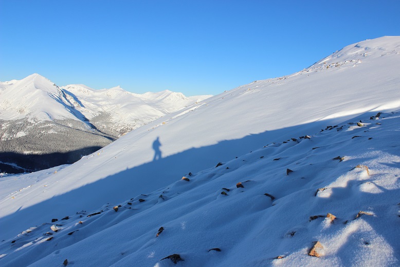
The ridge is longer than it looks, but there’s nothing technical about it. The only downside is all those hills!  Every time I’d head down one I just knew it was going to haunt me on my way back.  One cool part were the shadows all the slopes created.  Of course I took a shadowselfie

15

Here’s a look back on that ridge

16

And here’s the final push up Hoosier Ridge

17

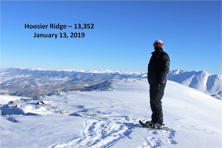
Woohoo! I summited!

18

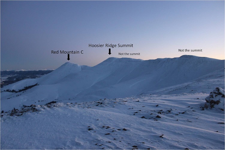
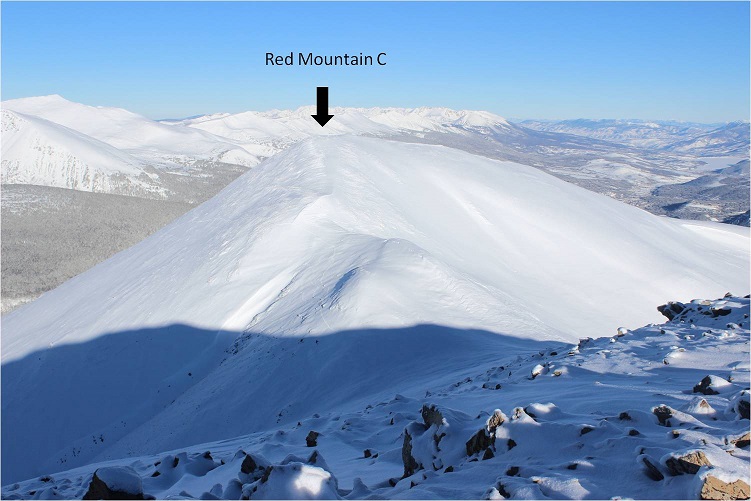
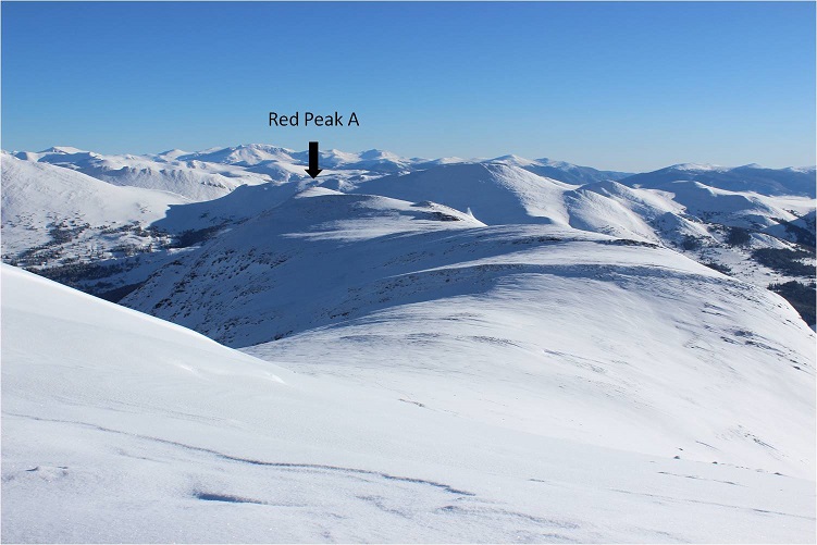
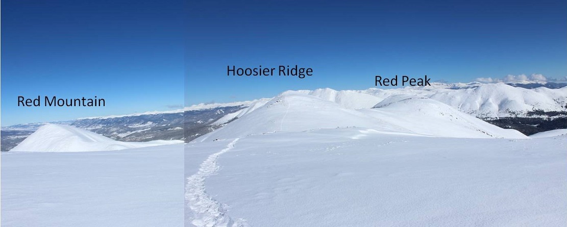
I knew I was at the summit this time because I could see Red Mountain C and Red Peak in their correct positions on my topo map (one of the reasons I’d known I hadn’t summited prior to this was their absence).

19

20

Side note: Couldn’t they have been more creative than “Red Mountain” and “Red Peak”?  Seriously.

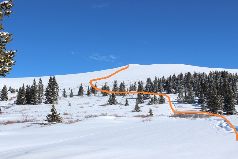
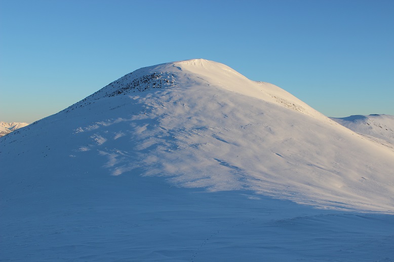
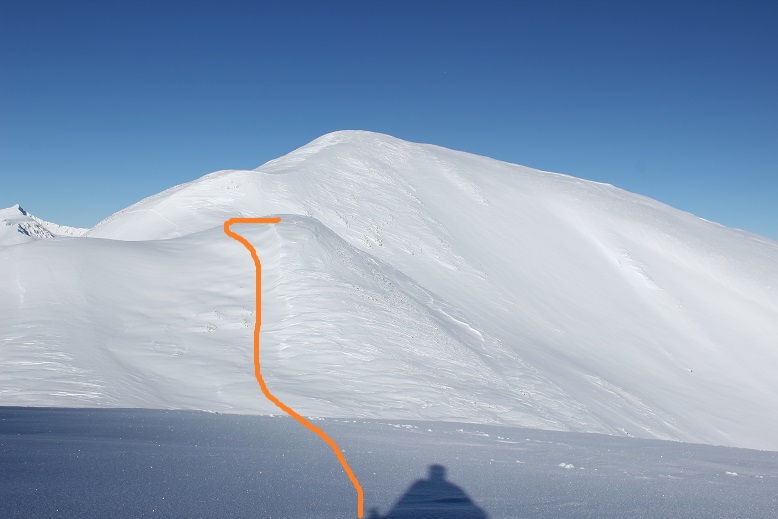
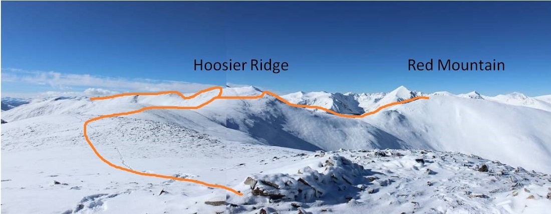
From the summit of Hoosier Ridge looking at Red Mountain I could see I was going to run into some difficulties and considered not even attempting the summit. It had already been what seemed like a long day.  There was more snow than I’d anticipated on the route up Red Mountain, and from where I was I couldn’t tell if it was stable or not.  I could see a bunch of goat prints along the mountainside.  As with all of my hiking decisions, I like to wait until I’m right up against a problem to make a judgment, but from this elevation I started devising my plan.  I intended to hike down to the saddle (a good 500’ elevation drop) and then traverse to the slope.  From here I wanted to ascend the slope along the ridge.  Here’s my intended route.

21

I was worried about the stability of the snow, but knew from my research I shouldn’t need to worry too much about avalanche danger here today. Still, I planned on being careful and staying alert to my surroundings.  I deviated from my route a bit due to snow conditions, but was happy with my choices.

22

Everything went to plan until I reached this area.

23

It was much steeper than I’d originally thought

24

I stood here for a few minutes and contemplated what I wanted to do. The goats had traversed further southwest, but if I took their route and slipped I’d keep falling for hundreds of feet, if not more.  I saw the same consequences with going to the east.  That meant I’d need to climb straight up this wall of snow, given that if I accidentally slipped I wouldn’t have far to fall and the snow I’d land on wouldn’t be filled with rocks.

25

I made my way towards the wall. It kept getting steeper the closer I got.  Not only steeper, but softer as well.  The sun was warming up the mountainside and the snow was quickly condensing under my snowshoes.  I made it about halfway up the slope and slid down about 10 feet.  Frustrated, I made my way back down and considered calling it a day.  I looked back up on what I’d done.

26

This was frustrating. I knew if I could just make it over this wall the rest of the hike would be easy (don’t ask me how I knew this, I just knew).  I was mad at my situation and got to thinking:  I had an ice axe, and I’d been holding onto it and kind of using it. Why wasn’t I using it more aggressively like I was supposed to?  This in no way compared to the difficulty I’d faced on Little Bear or Snowmass.  I wasn’t trying hard enough.

The sun wasn’t getting any cooler: If I was going to do this I was going to have to do it now.  It was time to turn around and try again.  So I got out my ice axe and went to work.  Crampons would have been much more helpful than my snowshoes, but I made it work.  I’d drill a hole for my left hand, kick one of my snowshoes in, plug my ice axe in a little higher, and hauled myself up one step at a time.  It was work, but I had the best feeling when I made it over that wall!  I’d done it!  Woot!  And I was right, the rest of the hike up the ridge to the summit was a piece of cake.

27

I haven’t felt that good about earning a summit in what feels like a long time. I was exhilarated and thrilled with myself for not giving up.

28

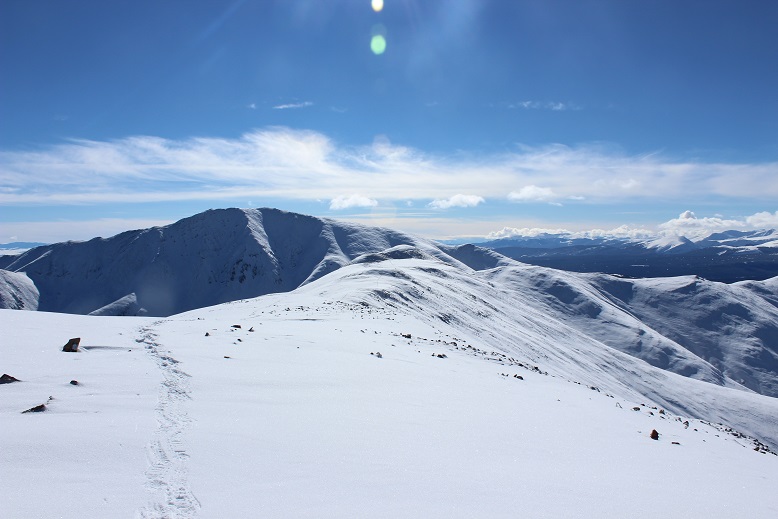
Here’s a look back at the route

29

30

I was excited to head over to Red Peak, but didn’t want to re-summit Hoosier Ridge in order to do so if it wasn’t absolutely necessary. Here’s the route I intended to take around Hoosier Ridge and over to the Red Peak saddle.

31

As I was heading back to the Hoosier/Red Mountain Saddle I looked back on the route I’d taken. It looked so much easier from this angle!  The arrow shows where I stopped and re-started again.

32

For the first time today I put up my heel risers. Those things are amazing!

Traversing to the Hoosier/Red Peak saddle didn’t work quite as planned. I was trying to avoid the rocky area altogether, but as I got closer I found there was a ridge that with snow was steeper than it had looked on the map, so I had to ascend further than I’d originally anticipated, but I was still able to make it to the saddle without backtracking.

33

Once I gained the saddle I followed some goat tracks to the summit

34

This was the easiest part of my day by far

35

Here’s a look at the route I took from Red Mountain and the route I took back

36

At about this time I heard a buzzing sound and saw a flight for life helicopter heading towards Quandary. This was never a good sign.  I said a silent prayer and began my hike back.

Re-summiting Hoosier Ridge wasn’t difficult, but by this time I was getting tired. I made it to the top of the ridge and started traversing.  Once again heard the helicopter.

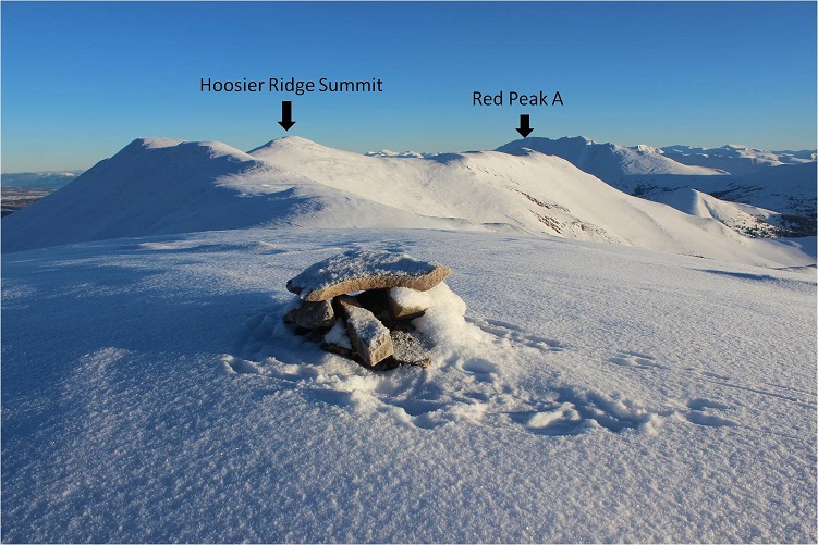
I turned back and got a good view of all 3 summits

37

The ridge back took what seemed like forever to cross.

38

Remember all those ups and downs from the ridge before? Well, they were still there and I got to re-summit each of those little slopes.  Again.

39

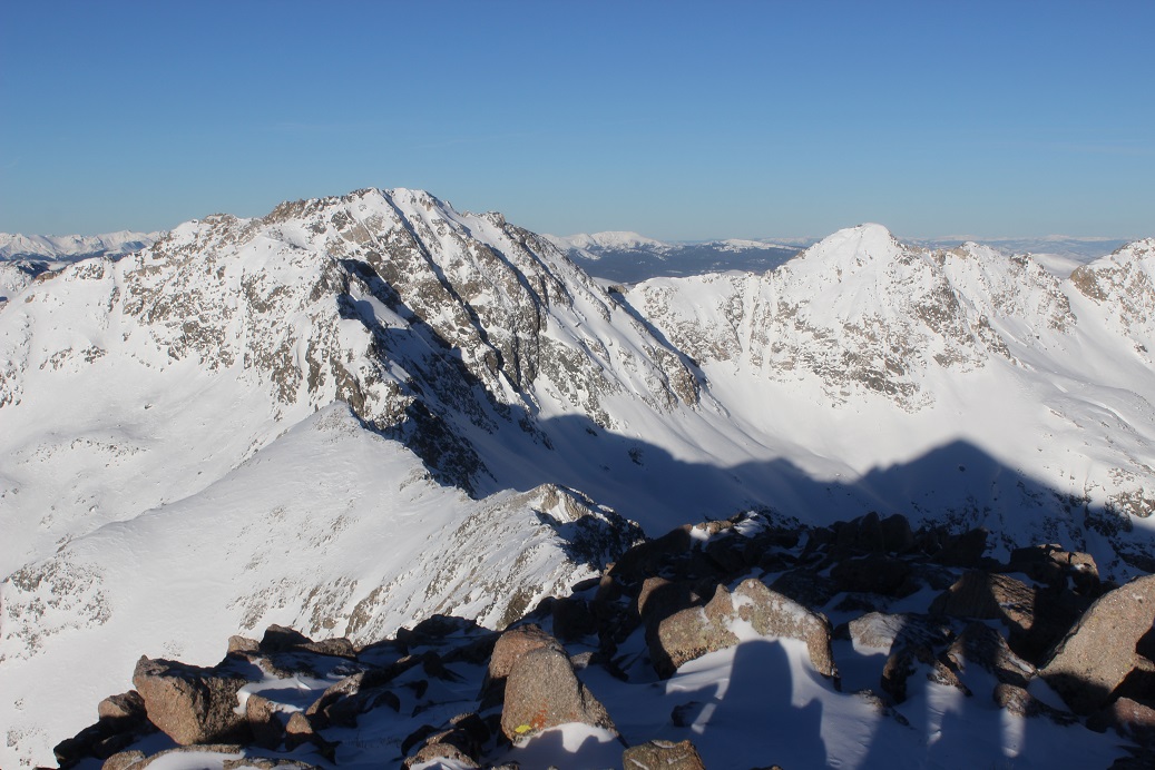
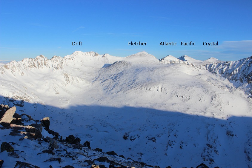
Just as I was almost done with the ridge I came across a pair of hikers who were on their second hike of the day. They’d attempted Drift Peak earlier this morning but due to multiple cornices were unable to safely summit, so now they were attempting Mt Silverheels. I thought to myself “maybe that’s why it’s called ‘Drift Peak’?” and mentally wondered why no one had posted a recent conditions report?  These were the third people I’ve heard from this week stating Drift Peak isn’t summitable, yet no one had added a conditions report.  I wondered how many others had attempted and turned back as well?  I wish more people would put in condition reports instead of just talking about the conditions to their friends online.

In any event, luckily someone had started after me and it looked like they’d veered off to summit Mt Silverheels, so these two hikers would have a trench to follow. They seemed in good spirits, despite already hiking since 4:30am.  I wished them luck and was more than ready to finish my hike.

It was a lovely day, sunny, with no wind. I wasn’t the only one who’d thought so:  the trench I’d made on my way in was now very well packed down, and there was evidence of skiers everywhere.

40

I made it back to my truck at 2pm, making this a 12 mile hike in just over 8 hours. The parking lot was full.

41

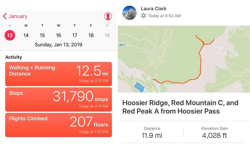
I looked at my tracker: It had worked!  However, today’s hike had felt like more than 4000’ in elevation gain.  I’d actually thought it was closer to 5000’, but maybe that was just leftover Quandary talking from my hike yesterday.

42Relive: https://www.relive.cc/view/2076882046

My phone said I had 22% battery and hadn’t turned off once the entire time I’d been out. Usually  when it’s cold it it turns itself off each time I take it out of my pocket.  When I plugged it in it immediately went to 77%.  What I’ve learned is when it’s cold the phone isn’t out of battery, it just doesn’t operate well in the cold, so it shuts itself off (even though it really has plenty of batter life left).  The only way to keep it from “running out of battery” and turning off is not to take the phone out/use it.

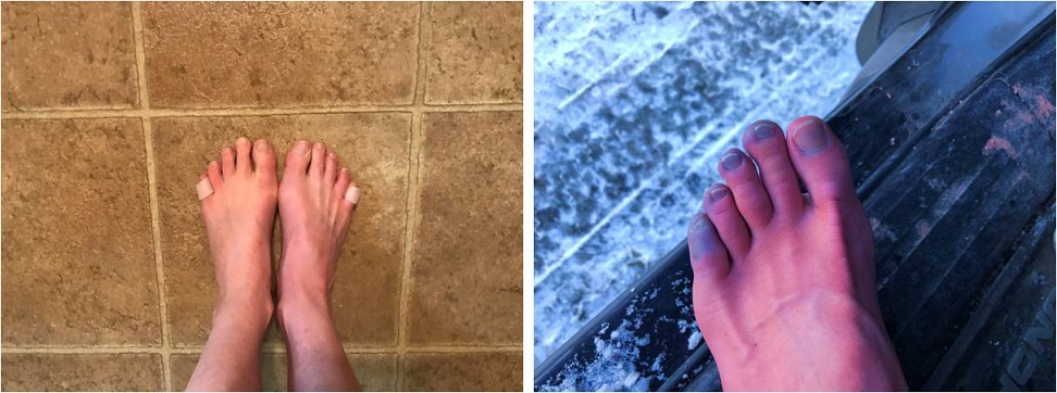
I quickly took off my outer layers and put on my sandals for the drive home. As soon as I pulled out of the parking lot I felt a sharp pain in my left pinky toe.  Ow!  Ow!  Ow-Ow-Ow!!!  It felt as if I’d been stung by a scorpion!  Immediately I pulled over to the side of the road to inspect my foot.  My pinky toe was completely blue but as I watched it slowly turned to a bright red, starting from the base of the toe and moving up like a thermometer.   What had felt like venom spreading like fire through my toe was actually just the blood re circulating through my feet.  Though my other toes were partially blue, they didn’t hurt. Bright red is normal for me after a hike.  I sat there fascinated as I watched my toes turn colors, and belatedly thought to take a picture.  (This picture was taken about half way through the process).

43

The pain was intense, but within a few minutes my foot was back to normal and I drove the rest of the way home. It seems the reason my toes hadn’t hurt during my hike was because they’d had an attack as soon as I’d started hiking this morning.  Also, my new tricks (toe guards, compression socks, etc.) hadn’t done their job.  Or maybe the attack was because I’d forgotten to take my vitamins this morning?  In any event, I’m going to have to watch my toes this week, especially the pinky.  It’s currently in the same condition it was in before today’s hike (red and swollen and a bit painful to the touch), but this is ‘normal’.

44

A man died on Quandary today. It’s a sober reminder the mountains aren’t forgiving of mistakes.  Make good choices and wear your helmet friends.  Sending prayers to all involved.

Quandary Peak – 14,265 (winter)

RT Length: 7 miles

Elevation Gain: 3450’

The weather just about everywhere in the state today was forecasted as miserable. Everywhere except for Quandary (even the 13ers and mountains adjacent to Quandary were forecasting snow).  Quandary showed clear weather from 4am-2pm so I decided to make the best of the situation and work on my winter 14er goal for the year.

I slept an extra hour this morning. It’s been a long time since I’ve hiked in the daylight, and now that my youngest has her license and I don’t need to be home quite so early every time I hike. I had the ability and wanted to start out hiking today with light.  The roads were terrible on my drive in for most of the way.  The worst tended to be in the cities (looking at you Woodland Park) but surprisingly the back highways were mostly clear.  In any event, due to ice on the roads I didn’t go above 30mph the entire way so I didn’t arrive until after 6:30am.

The upper trailhead was closed so I parked at the lower trailhead. This adds about 100 feet to the hike so it was no big deal.

2

I was surprised to find 3 other vehicles in the parking lot when I arrived. I reminded myself this was a popular 14er, even in winter time, and I’d gotten a late start.

The path was easy to follow up the dirt road to the start of the trail. It was just beginning to get light out, so I didn’t need my flashlight (woohoo!).

3

4

I’d read from a conditions report yesterday there was no trail, but quickly found the upside to others being here before me: They were trenching the trail!  It feels like it’s been forever since I’ve had someone else trench a trail for me.  In fact, it was only one other time and I can name the date:  Evans, my 2nd 14er, June 2017, and it wasn’t the trail they trenched but the last bit to the summit.

The trail today was quiet and peaceful and I enjoyed just walking through the snow.

5

Well, all except for my snowshoes. Today I’d decided to see if my microspikes had any effect on the bindings of my snowshoes, and apparently they didn’t:  They come undone whether or not I’m wearing microspikes.  Sigh.  Oh well.  It’s not too big of an inconvenience, but they should really replace these things with ratchet bindings so they don’t come undone.  Or add another way to secure the straps.

6

I was appreciative of the group before me, trenching lazy ‘S’ curves up the mountainside.

7

But just after I took this picture I caught up to the group and decided to take over trenching: They’d done such a good job and must have been tired.  They deserved a break and I wanted the exercise.  The difference between their trench and mine was theirs gradually gained the slope:  I just trudged straight up the ridge.

8

I continued hiking until about 13,100’, crossed a flat ridge and saw the rest of the route before me

9

It was here with 1000’ left of elevation gain I decided to try out the heel lifts on my new snowshoes. I take back everything negative I’ve ever said about these snowshoes… well, everything except the need for ratchet bindings.  Those heel lifts are amazing!!!  Where have they been all my life?  They made an insane difference, and I was flying up the mountain.

About halfway up I turned and looked around. I knew there were at least 5 people behind me, but they were nowhere in sight.  They must still be below the ridge.

10

OK, this was all I had left. Time to book it to the summit

11

OK, maybe a little more

12

Wait, what?!?! What’s this?  There was a large grouping of snow where the summit should have been.  I was going to need to cross this in order to officially claim I’d summited.  I took one step and sank up to my knees.  Hmmm.  This snow was not stable and I wasn’t sure what was beneath (I found out later it was just a flat summit and I most likely could have walked straight across).  I decided to play it safe and stick to the right.  It was slow going, slippery, and unstable.  Here’s looking back from the true summit.

13

I set up my camera to take a photo and got one shot before my camera died (well, stopped working until it warmed up again). So here’s my one summit photo…  Good thing this isn’t my first summit of Quandary.

14

It was snowing on all the mountains all around me, and while the snow was headed towards Quandary it didn’t look like it would make it here. It seemed like I’d chosen the correct peak to summit today!  And: Quandary with no wind?  That’s unheard of!  I started my trek back down.  I made it halfway down the ridge before seeing anyone else.

15

I’d wanted to hike Hoosier Ridge today, but the weather was forecasted as better on Quandary, and indeed the forecast had been correct as it was now snowing on Hoosier Ridge. I took a good look at it for tomorrow and marked in my mind the features I could see.

16

I stopped along the flat section to get a few pictures

17

And noticed some goats!

18

I was only able to see them due to the trails they were making in the snow, otherwise I’d never have known they were there.

19

OK, time to get serious about heading down. Check out that trench!

20

As I descended I kept seeing more and more people working their way up: snowshoers, skiers, and some hikers just wearing microspikes. I wasn’t sure there was enough snow to ski, but there sure were a lot of skiers out today.  I don’t really understand 14er skiing.  It’s not that I don’t like to ski, it just seems like a lot of work for a “you get one” kind of experience. Also, I don’t want to become addicted to another sport, especially something that involves snow, so I’ll leave the 14er skiing to others for now.  There was plenty of skiable snow just at and below treeline, but it seemed these skiers intended on summiting as well.  I saw at least two dozen people, if not more, and was glad I’d gotten an ‘early’ start.  Boy was that trench looking good now!

21

I saw a group of three men on my way down working their way up. They’d found my bandana and the microspike I wasn’t aware I’d lost.  Thanks guys!

I made it down at 10:30am, making this a 7 mile hike in 4 hours. The parking lot was packed.

22

This really is a straightforward hike: make it to treeline and follow the ridge. With clear skies (at least over Quandary) and no wind it was a perfect hike for today.  I’d like to summit four 14ers during winter this year.  1 down, 3 to go!

23

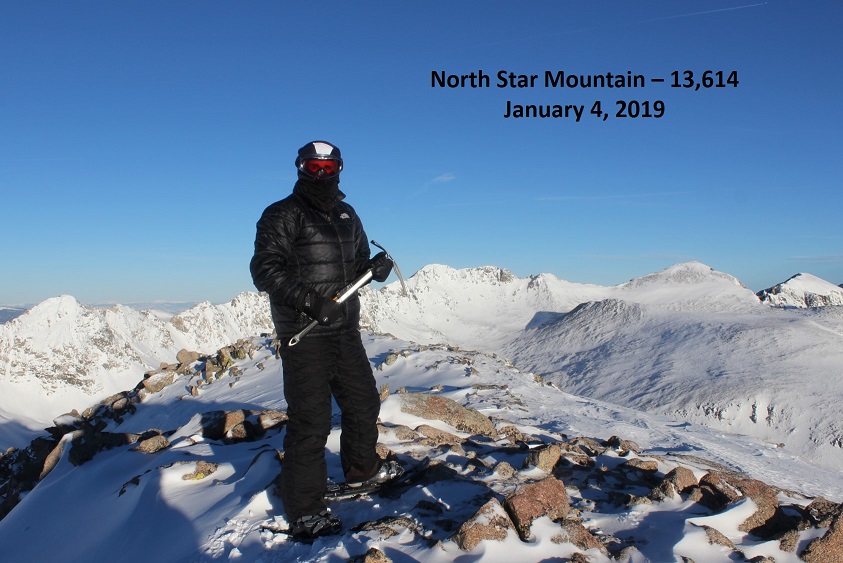
North Star Mountain – 13,614

1

North Star Mountain – 13,614

RT Length- 9 miles

Elevation Gain – 2400’

First hike of 2019!  I’d spent the past week at sea level and once again my time was constrained (I needed to be back by 2pm because my daughter had her final driving lesson) so I chose something I knew I’d be able to complete before noon:  minimal elevation gain with moderate mileage at an open trailhead seemed a good choice, just to get me back out above treeline.  I was debating doing Quandary to get in my first winter 14er of the year, but the wind looked more favorable just a little to the south on North Star Mountain, so I decided to save Quandary for later.

Monitoring the temperature while driving I was a bit put off when it reached -2* around Hartsel but felt better when it rose to 27* in Alma (it was 20* when I arrived at the Hoosier Pass trailhead).

I arrived at 4:45am to an empty parking lot full of ice and decided to just put on my snowshoes while sitting in my truck (with spikes underneath so if I needed them I wouldn’t need to take off my gloves to put them on).  For Christmas I bought myself a new pair of snowshoes (EVO ASCENT MSRs) and was anxious to try them out.

I started on the trail just after 5am.  The 4WD road was blocked off by plowed snow, but easy to follow and packed down by previous hikers/skiers/snowboarders/etc.  The road starts just beyond this sign.

2

This part of the trail was great, as it followed a well packed and wide 4WD road.  I followed it as it curved to the left.  It was sill dark out, but I could faintly make out the sledding/skiing hill ahead of me.

3

I stopped briefly to fix my snowshoes (the band had come loose on one of them).  It was cold but clear and every time I looked up I saw meteors from the Quadrantid Meteor Shower.  I kept stopping to watch and just absorb the night and finally had to kick myself in gear and tell myself to get going:  I was on a time schedule.

As many of you know, route finding is different when it’s dark:  there aren’t many visible landmarks, and even the easiest route can cause you trouble when you can’t see what’s ahead of you.  Following the road around 12,000’ I suddenly found myself on the side of a mountain, road gone.  I looked at my map and compass, knew I was heading the right way, and continued on.  It seems the road was covered in snow, making it indistinguishable from the hillside.  This made me a bit uneasy as it was exactly where the avalanche danger was forecasted for today, and I couldn’t quite make out the angle of the slope or consistency of the snow.  I got out my caltopo map, noticed it was less than a 20* angle, and just decided to be careful and stay as close to the road as possible.  Bonus points if I could actually find it (which I could once in a while).  Once again I looked down, and the band had come undone on my left snowshoe, so I put it back into place.

As I rounded the corner the road became visible again and I breathed a sigh of relief, until the wind picked up.  It started out strong and didn’t let up until I made it back to that spot on my way back down.  Here’s where the route finding truly got fun.  I still had over an hour of darkness, and with the wind I could no longer see clearly what was ahead of me as the wind was ferociously blowing up the snow and made everything appear… grey.  When I turned around and looked back at Mt Buckskin I could see much better. The sun was rising and there wasn’t much wind behind me to obscure my view, so I kept looking back to give me a visual reference for later.  I took out my camera and kept trying to get a picture of the moonrise as well (just to the right of Buckskin), but the camera had a hard time focusing with all the wind.

4

OK, back to route finding.  I was now at the 4WD parking area, although I didn’t know it.  In the dark and with the wind I couldn’t’ see much, so I just kept heading west.  Good news:  I came to a road!  Bad news:  it was the wrong road.  So was the next one, and the next.  Apparently there are tons of mining roads in this immediate area, all parallel with each other, and none of them were the correct “road”.  However, heading up and west seemed to keep me on the right track, so I did so, even though I couldn’t see much.

I lightened this video on my computer to give it more visibility, but here’s an idea of the terrain and mild wind in the dark (well, I guess not “dark” because I lightened it, but this shows where I was at)

VIDEO

At about this point my phone shut off.  I’d been trying to take videos/pictures, and it decided it was too cold to continue.  Hmph.  I stuck it in my backpack to let it ‘warm up’ and hoped it’d turn on again later, looked down, and once again fixed the band my snowshoe (both sides this time).

Up and west ended up being the correct navigation, and soon I was at the top of North Star Mountain’s shoulder.  The snow was about a foot thick in most places and consolidated. It was perfect for a winter hike:  Not tiring or difficult at all.  I never did see the gate that was mentioned, or the ‘parking area’ but it was getting lighter out and I could now see the rest of the route before me

5

I had several options, but decided to head towards the old mine

6

When I got there the mine was mostly covered in snow.  I traversed above it to the ridge.

7

Wow.  I mean, just.  Wow.  I needed to cross this ridge to make it to the summit, and I was excited!  From a physical standpoint this had been an easy hike so far, and I wasn’t even close to being tired:  I was ready for a challenge.  Due to the wind, most of the snow had accumulated on the south side of this slope.

8

Check out my morning view of Quandary!  I kept thinking to myself the wind on Quandary HAD to be better than the wind I was experiencing on North Star Mountain.  It just had to be.

9

I turned around to look at the route I’d taken and was surprised to see a well established mining road.  Hmph!  I wondered if it led to the old mine I’d stopped at?  In any event, I’d taken the higher trail to get to where I was now, and took it on my way back as well

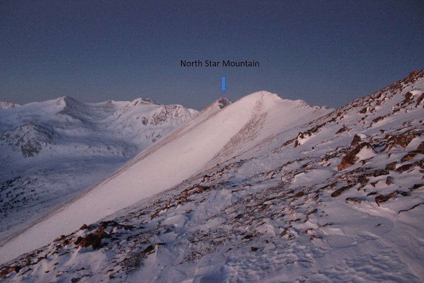
10

Woohoo!  The sun began to rise!  Oh, and did I mention that wind?!?!  It hadn’t let up yet… and each one of those ice crystals is deceptively a chard of glass, waiting to cut you down. Luckily I was wearing goggles and my balaclava.

11

VIDEO

OK, back to the ridge.  This is what I got to follow

12

Traversing this ridge was tricky, as in many places the passable area was no more than a foot wide.  I decided to keep on my snowshoes (after fixing them once again), even though they obviously weren’t needed or indeed helpful for the entire route.  I started and looked down:  ugh!  They’d come undone AGAIN.  I stopped and put them back into place.

I knew I was straddling the Park and Summit county lines, and when safe decided to hop back and forth as often as I could, just because it sounded fun.  I kept encountering several different kinds of snow, from soft and sugary to tough and consolidated, and most of it was wind blown.  At this point I started seeing goat tracks and could tell they weren’t very old (due to depth of prints, current wind conditions, etc).  There must be a goat ahead of me!  Awesome!  I also encountered several medium sized cornices, and this one as well (picture taken on the way back down)
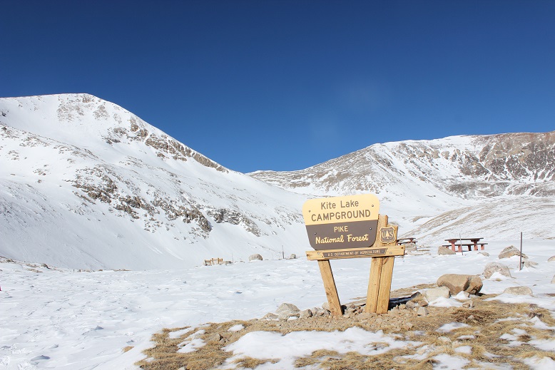
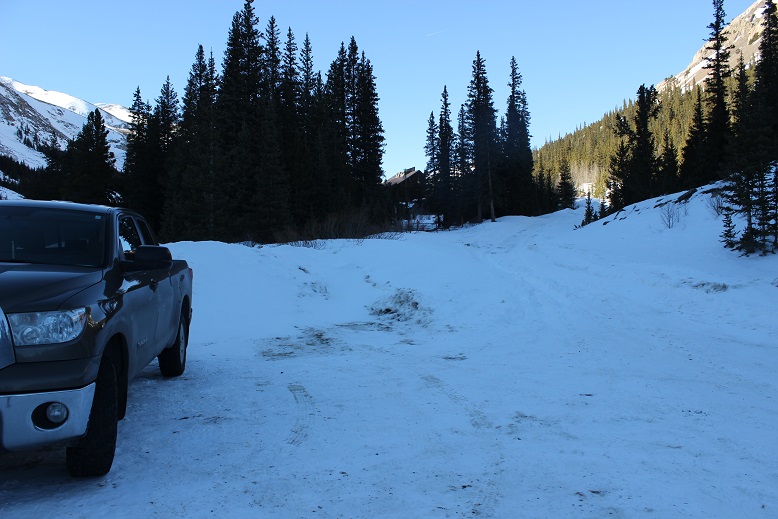
13

This cornice gave me pause, and I wasn’t entirely sure I wanted to continue.  I stopped and traded my trekking pole for my ice axe.  I could see the cornice from earlier on the ridge, and I’d been mentally planning out my route.  I’d wanted to traverse under the cornice, as it didn’t look that steep, but when I actually got there and started my horizontal traverse I realized what a terrible idea this had been!  The snow was soft, and I could tell if I made a trench I’d be undermining the stability of the cornice.
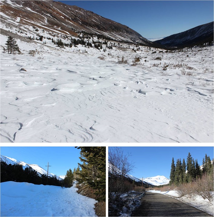
Immediately I turned back and thought about my options.  This seemed to be the ‘crux’ of this route.  I felt if I could cross this cornice the rest of the route would be wind blown in enough areas to make traversing it easy.  But I wasn’t sure about the stability of the cornice.  As with most of my hiking decisions, I didn’t actually make one until I was close to the issue. I ended up going over the top to the right where it was easy to climb up and delighted to find it eventually became consolidated and climbable with crampons and an ice axe.  I’d been following a goat’s fresh tracks this morning and could tell the cornice was eventually consolidated because the goat hadn’t sunk in the snow:  however he was more comfortable on the cornice and went even further right.  I was up and over it in 20 seconds and mentally thanked myself for keeping those snowshoes on (with built in crampons).

I was super proud of myself for making it over that obstacle, hiked about 20 yards further to the next ledge, and looked at the rest of the route before me

14

This looked very doable, and like a lot of fun!  The only downside?  The wind!!!  I’d known to expect wind, but this was insane, and much more than the anticipated 14-18mph

Video

I stopped here because I was actually being blown a bit sideways.  This was not good.  I was close to the summit but worried about the wind.  With a light pack (5-10lbs?), myself weighing 105lbs and winds stronger than forecasted I just didn’t weigh enough to keep from being blown sideways.   I decided to pick up some rocks to add weight to my empty pack (I’m guessing about 30lbs worth).  That seemed to stabilize me a bit.

My weight and confidence up again I kept traversing…. And came across the goat!

15

I stopped and enjoyed the experience.  This is the first time I’ve seen a mountain goat while climbing in winter, and I intended to enjoy it.  We looked at each other and sized each other up.

16

I didn’t want to disturb the goat, but also wanted to traverse the ridge, so I slowly kept inching forward, stopping every once in a while to fix my snowshoe (this was seriously getting annoying!).  Eventually the goat looked back at me as if to say “are you joining me or not?” and continued across the ridge.  I took my time (and the opportunity to take dozens of photos).  The wind was intense and I was trying to get the goat/wind thing, but in still pictures you just can’t really tell how windy it is…

17

18

I followed quietly behind, and the goat didn’t seem to mind.  I spent much more time than necessary slowly following in its tracks, careful not to disturb it but thankful for the photos.  Just before the final summit push it seemed to have had enough and deviated off the ridge.  I took advantage of the photo opp…

19

20

And finished the short distance to the summit on my own

21

I summited at 8am

22

Video

I dropped my bag to get out my phone for a video and realized I’d lost my trekking pole at some point on the route.  Drat.  I’m assuming the wind had blown it out of my pack.  Next time I need to be sure to clip it on with a carabineer.  Luckily my phone wasn’t so cold anymore, and I was able to get a quick video of the summit before it died again, but on the downside my DSLR was showing low battery now as well.  Drat!  So I only took the time to take one summit photo and decided to start taking photos of the peaks around me to help out friends who wanted to hike in the area tomorrow.  Here’s what I got…

The ridge to Wheeler

23

Drift, Fletcher, Atlantic, Pacific & Crystal Peaks

24

Quandary

25

Democrat, Traver, McNamee, & Clinton

26

OK, time to head back.  I took a look at the route back across the ridge.  It looked so much easier from this angle!

27

I looked down at my snowshoe and thought fixing it again was more trouble than it was worth.

28

I appreciated the fact it was easy to ‘fix’ while wearing gloved but was disappointed I’d needed to do so so often. I left them undone for the rest of the hike down.

On the way back I took a picture of one of the fun cornices I saw on the way in

29

And another at the exposure… not too terrible, but those rocks wouldn’t be fun to land on if a gust of wind decided it was necessary (hence loading my pack with rocks)

30

On my way back I took some pictures of some of the more fun small ridges I gained

31

And once I was done with ridges a look back on the way I’d trekked…

32

Here I unexpectedly found my trekking pole lying on the ground trapped between some rocks.  Woot!  This was great!  Not only had I found my trekking pole, but I didn’t need to pay penance for leaving something on the mountain.  I clipped it to my backpack, took out the rocks, and headed down the slope.  The sun was great on the way down, even if the wind decided to join her.  I mostly just followed the tracks that were still there (surprisingly with the wind I could still follow most of them).  Oh, and there were cairns!  Imagine that!  In the dark I hadn’t noticed any of them, but once I made it back to the shoulder in the daylight I could clearly see large ones placed about 200 feet apart.
33

Here’s looking back on the route I took to the summit

34

On my way back I kind of followed the cairns to the end of the shoulder, and looked over at the rest of the route before me.  The gate and road were clearly visible in the light of day

35

And looked back at the way I’d come.

36

I found that gate I’d missed in the dark.  It was actually two very large gates, and looking back, I seemed to pass them unseen by taking a path to the south of them and then just gaining the ridge.

37

Here’s my path up (solid) and down (dotted)

38

I found some pretty cool inverted tracks on the descent

39

Here’s looking at the route I took.  Notice how traversing too far to the right (north) would have ended badly in the dark?

40

And here’s a view of the unstable area I was worried about at 12,000’:   It didn’t look stable in the daylight either, but at least I could see a road.
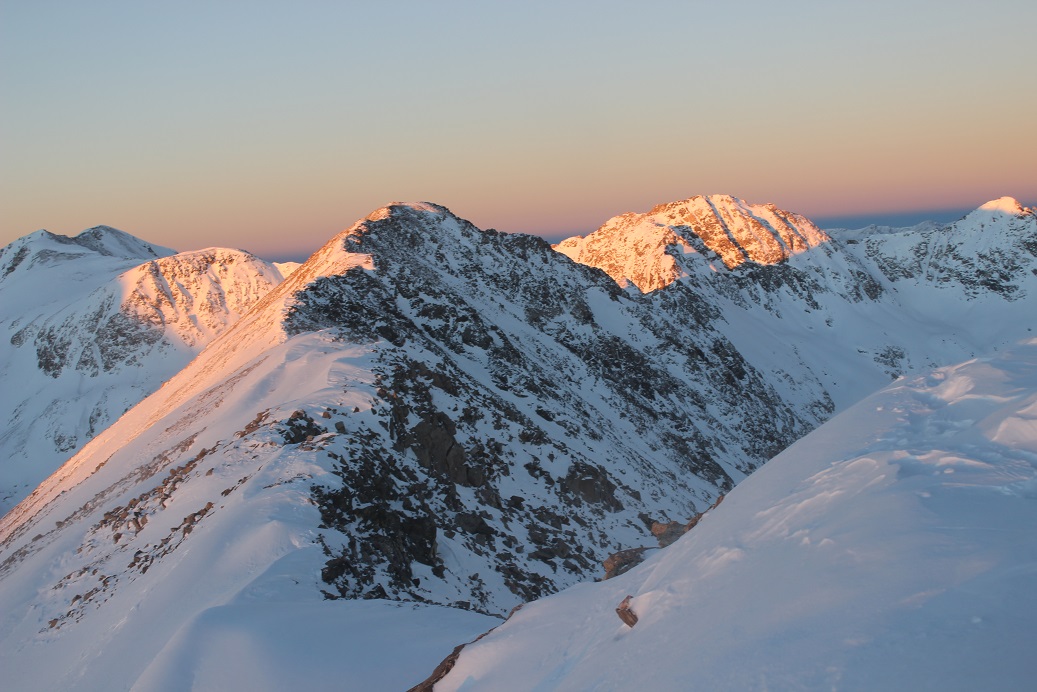
41

Here’s a great view of most of the lower route (once I got back to the road the wind stopped)

42

I didn’t see anyone all day until I made it back down to about ½ a mile before the trailhead.  There I saw several skiers, a few snowshoers, and about a dozen hikers enjoying the morning out.

43

I made it back to my truck at 10am, making this a 9 mile hike with 2400’ in elevation gain in 5 hours.  I’d made it back 2 hours ahead of schedule.  I was a bit bummed to find I’d forgotten to pack my beef jerky (I make a fabulous jerky for hiking and must have left it in the bread box) but overall pleased with today’s hike.

44

I took off my snowshoes and was a bit upset to notice they’d taken more wear than I’d anticipated from such a short hike and such expensive snowshoes!  The plastic bottoms were ruffed up in a lot of places, but at least the metal pieces were completely intact.  I’m still not completely sure they’re worth the money.  I didn’t use the heel lifts (they weren’t necessary today), but overall they didn’t work any better than the $50 pair of trekkers I put 200 miles on and enjoyingly destroyed this year.  I had to continually re attach the straps, and missed the ratcheted bindings of the cheaper model that didn’t need to be continually adjusted.  I’m a bit worried I paid too much for a nice pair of snowshoes I’ll destroy in a year, when I could have paid just $50 and destroyed another pair of cheap snowshoes this year.  This is something I’ll closely monitor:  I’d rather destroy a $50 pair of snowshoes every year rather than “baby” a $200 pair of snowshoes that still end up needing to be replaced in a year.

But back to the peak:  In the summertime this would be a great intro hike for someone looking to get into easy ridge climbing.

Also, my phone “died” several times due to the cold, but it wasn’t actually that cold, just windy (which made it cold).  Do phones suffer from “wind chill factor” as well?  It kept turning back on again after some time being in my backpack, but it was annoying when it kept dying during a video, etc. especially when it wasn’t that ‘cold’ out.   Also, it lost track of my navigation when it turned off, so I don’t have a track for this hike.