2020 Goals

2020 Hiking Related Goals:

  • Hike on 60 days this calendar year
  • Hike/walk/run/treadmill 2020 miles
  • Summit a combined total of 10 winter 13/14ers
  • Finish all the Bicentennials outside of the San Juans
  • Hike in the San Juans at least 4 times
  • Complete one new class 5 Bicentennial
  • Summit 2 highpoints outside of Colorado
  • Summit 3 new El Paso County Highpoints
  • Hike one section of the Colorado Trail (it’s been calling my name)
  • Complete Grand Canyon R2R
  • Keep my average above 10+ miles and 4000’+ of elevation gain per hike

2019 Stats of Goals

IMG_8666

Today was my last day of the year I had available to hike, and while the weather was chilly I had no idea just how cold it actually was. The forecast said the low was -6 and the high was 5, but there wasn’t supposed to be any wind so those temperatures seemed doable to me. I got up and drove to the trailhead, just to discover it was negative 36 degrees outside.  I didn’t realize it could even get that cold in Colorado!

I sat in my truck, willing the temperature to rise for a good half an hour before it didn’t and I decided to drive home. I felt -36 was just too cold to make an attempt.  In fact, I was even a little scared to turn off my truck because I wasn’t sure it’d start again in those temperatures.  I was bummed the weather forecast had been so off, but enjoyed the solitude on the drive there and back.  Since this was my last chance to hike I can now re-cap my 2019 goals and reflect on how I did:

Hiking related 2019 goals:

Help someone climb a 13er or 14er, or any hike they didn’t think was possible for them. Done. Started them on Sniktau and kept going from there.

Complete 4 highpoints outside of Colorado, with at least 1 being above 10,000’. Done, I did 7, with 3 above 10,000’

  • Black Mesa – OK, 4973’
  • Guadalupe Peak – TX, 8749’
  • Reno Point – DC – 409’
  • Wheeler Peak – NM – 13,161
  • Mt Whitney – CA – 14,508’
  • Boundary Peak – NV- 13,180’
  • Woodall Mountain – MS – 806’


Complete 21 Centennials (I’m currently at 76, so this would bring me to 97). Done, I completed all the Centennials.

Complete 5 winter 14er ascents (duplicate peaks are ok). Done. I completed 10 winter 14ers and 4 winter 13ers, summiting a couple (Quandary) more than once.

Climb 80 peaks. Done. 80 ranked, 18 unranked, for a total of 98

Hike on 50 days this calendar year. Done. I hiked on 71 days, not including my treks up the Manitou Incline and down the Barr Trail or local hikes.

Attend 12 Happy Hour meet-ups. Nope. I attended 10.

Try 3 new types of Whiskey (yes, this is hiking related, and not a stretch goal considering the point above). Done, done, and done. I stopped counting at 8.

Keep track of miles hiked. Done, 839 total miles hiked, not including my Manitou Incline hikes, local treks without a summit, or daily treadmill time

Mt Elbert (winter attempt)

1

RT Length: 10 miles

Elevation Gain: 2685’

Time: 7 hours

Partner: Steffen

Note:  Our successful winter summit can be found here.

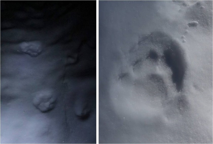
This was an attempt of the East Ridge of Mt Elbert. We ended up turning back around 12,500’ and did not summit today.  We still had a great time though, with great views and fun animal prints to be found in the snow!

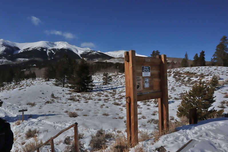
We arrived at the South Mt Elbert trailhead and were on the trail around 5:30am. There was one other vehicle in the lot from out of state.  From the booklets and maps in the front seat I figured they were highpointing.  We ever did see this person…

In the dark we were unable to see the 4WD road and took the trail instead to the 4WD parking area, adding on 2.4 (unnecessary) miles to this hike

2

3

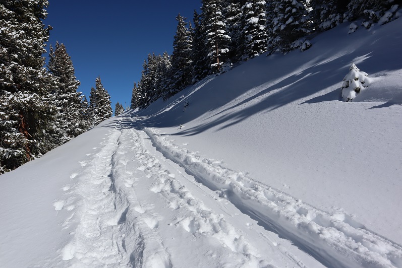
Even though there had been recent snowfall the trail was well trenched and we didn’t need snowshoes for the first few miles. Ours were the first tracks on the trail, leading me to believe the other hiker(s) had taken the 4WD road up.  After about a mile of hiking we came across mountain lion prints!  They looked to be only a few hours old.  They were headed in the opposite direction and followed the trail for about 20 yards before disappearing.

4

I spent the next hour or so stopping frequently to scan the night for glowing eyes but didn’t see any. After about 3 miles we made it to the junction.  Here I decided to put on my snowshoes, and kind of wished I’d done so earlier.  The bridge had a couple feet of well packed snow to cross.

5

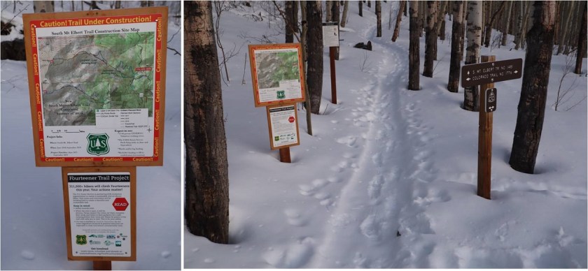
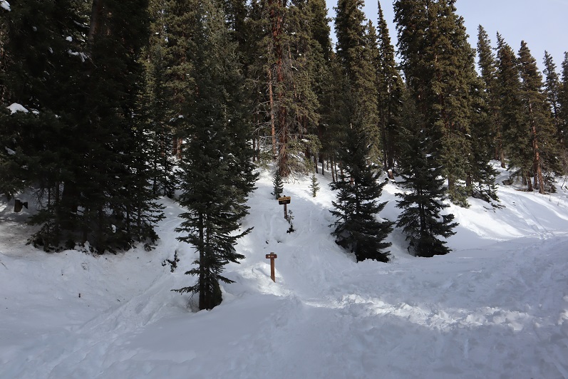
There were some interesting 14er signs and here’s where we caught up with the other hikers tracks.

6

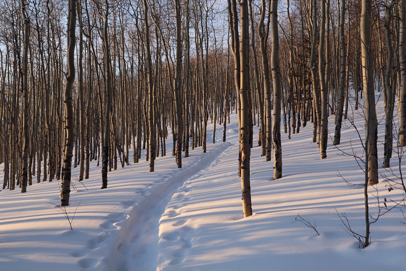
The sun was beginning to rise and the forest suddenly became more beautiful. The aspen trees and snow made for a unique landscape

7

8

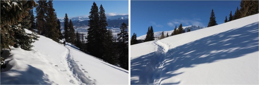
This hike was trenched and relatively straightforward but felt like it was taking forever to complete. We made numerous stops just to enjoy the view.  The trench continued up and over the mountainside, and here Steffen stopped to put on his snowshoes.  This made a ton of difference for him!

9

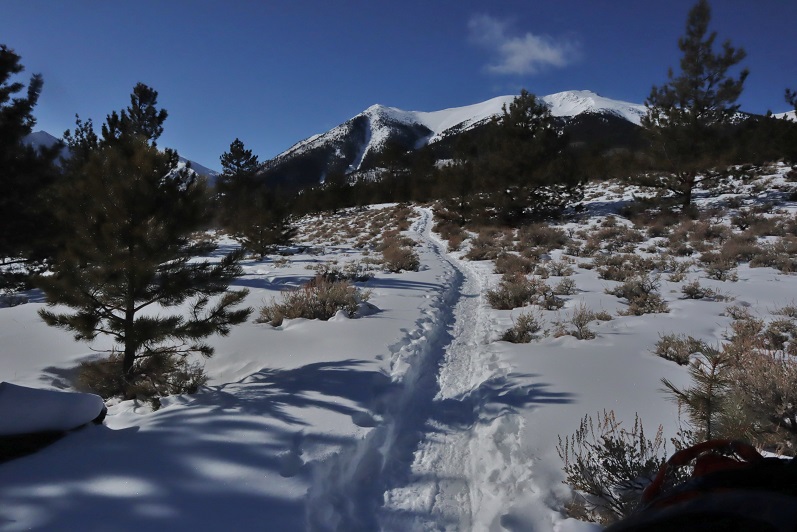
The tracks stopped at treeline but the route seemed obvious: just head to the ridge.

10

11

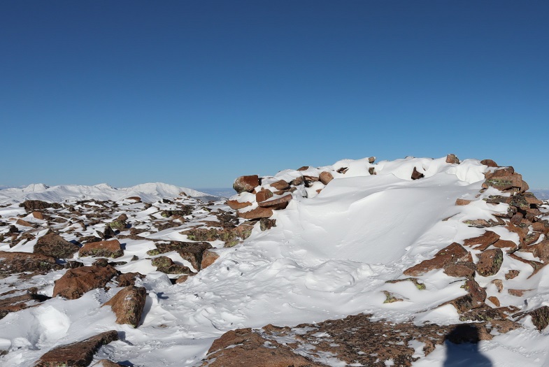
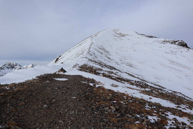
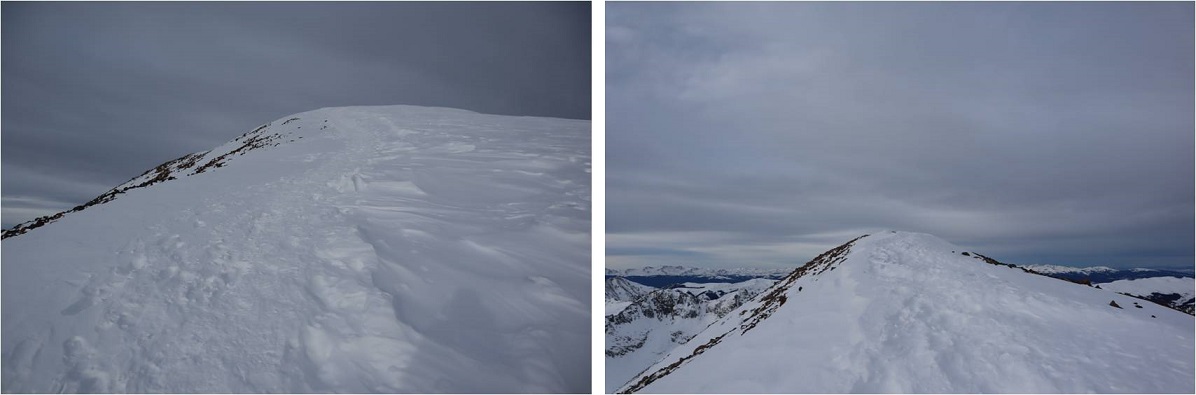
Now that we were above treeline we had a good view of the summit. Unfortunately, it looked windier than we’d anticipated.

12

The mountains all around us seemed to be making their own snow. We weren’t going at a very fast pace (lots of stopping) and Steffen had already taken a few pain killers.  We still were only about half way in both elevation and distance.  I didn’t think our chances of summiting today were very high so we decided to turn around here.  It was a shame because it seemed like such a nice day but on a positive note the fun stuff happened on the way back.

This slope would be perfect to ski/snowboard down!

13

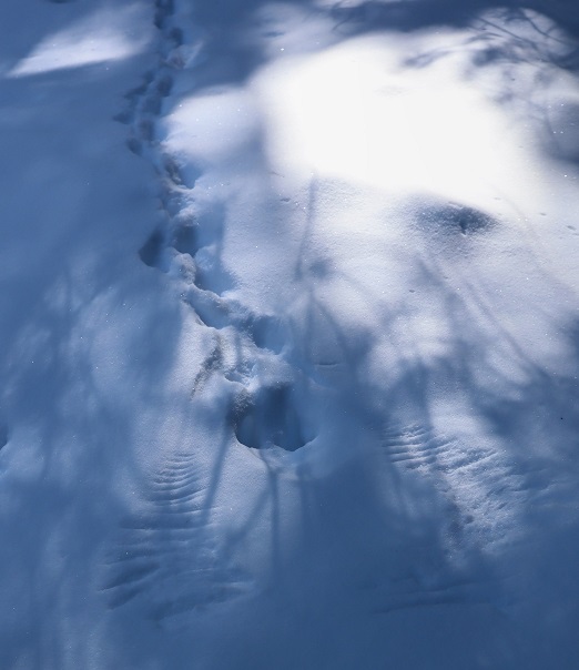
When we made it back below treeline I saw prints that hadn’t been there before: it looked like a bird had caught breakfast while we’d been gone!

14

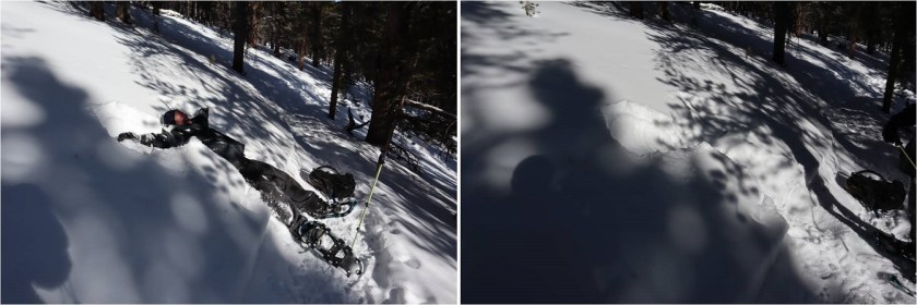
Steffen made another snow angel and debated doing this on every hike until the realization hit there wouldn’t be snow in the summer… Ha! The shadows from the trees made it difficult to get great pictures.

15

We had fun identifying animal tracks and I enjoyed the aspen trees again. I don’t think I’ve ever seen so many aspen with snow below treeline:  usually I see only pine trees so this was a fun treat!

16

17

We re-crossed the bridge

18

And headed back to the trailhead.

19

We came across the mountain lion tracks again and I got better pictures in the daylight. Just as we left the prints behind we came across a group of 5 snowshoers with their dogs.  The dogs were off leash and the owners seemed upset we were there.  Lucky for us we’d turned back when we did or the mountain lion tracks wouldn’t have been there upon our return.  We made it back to my truck and checked our stats.  I was surprised we hadn’t gained more elevation than we had.  This hike seemed to have taken all day and I was sure we’d gained close to 4000’.  Oh well:  This was a well trenched hike, so I’ll be back to complete it in winter (soon).

Quandary Peak 14,265 (winter)

1

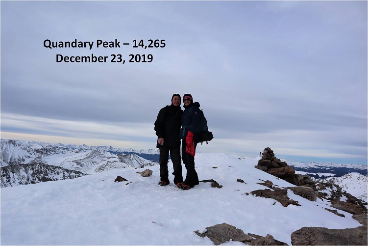
This is the third time I’ve summited Quandary, and the second in winter, so I won’t give a full report. A full winter report can be found here.

Here are a few highlights from the day:

  • RT Length: 7 miles
  • Elevation Gain: 3435’
  • Time: 5 hours
  • Partner: Steffen

We arrived at the trailhead at 5am to a few other vehicles in the lot. This is pretty normal for Quandary Peak.  One of the vehicles had their dome light on, with no one in the car.  We tried to open the door to turn off the light but it was locked.  Hopefully their vehicle would start when they got back.

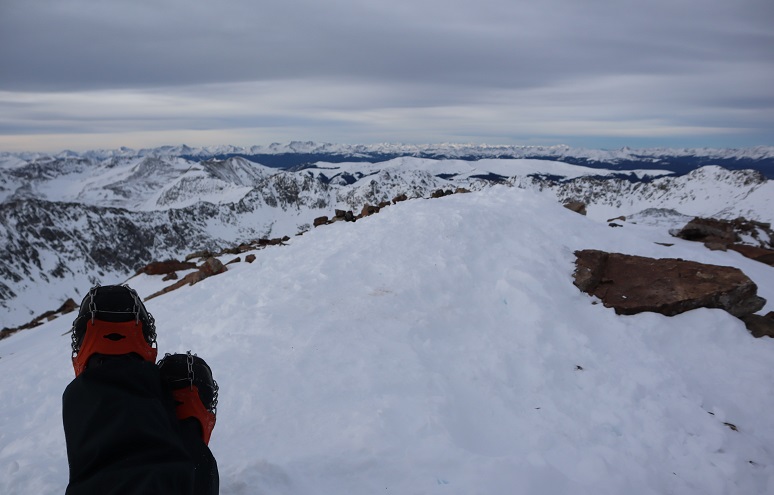
We carried our snowshoes the entire way but didn’t need them. Microspikes were very, very helpful.  The trail was well packed down from the trailhead all the way to treeline, but sugary and deep off trail.

2

3

4


We hiked at a steady pace, taking breaks as needed. This was Steffen’s first 14er (and a winter one at that!) so I didn’t want to push him too far.  He did great!  Here’s the path to the summit from treeline

5


Right about now the sun was beginning to rise. It stayed behind the clouds for most of the day but made for a nice sunrise photo

6


This is a simple ridge to summit hike. I was surprised at how little wind we encountered today!

7


Here’s the final push to the summit. This is where we came across the owner of the vehicle who’d left their lights on.  He was a bit sheepish when he realized what he’d done, and picked up his pace on the way down.  We offered to jump his vehicle when we made it down if it wouldn’t start for him.  I started picking up the pace a bit here as well, hopping as I went and hiking backwards to make talking easier and to keep me going when things slowed down.

8


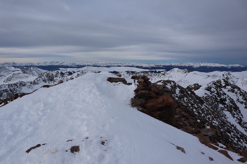
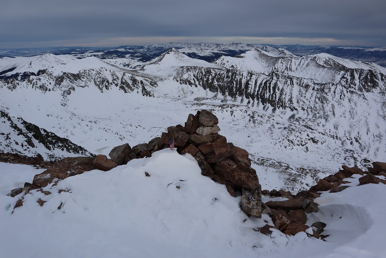
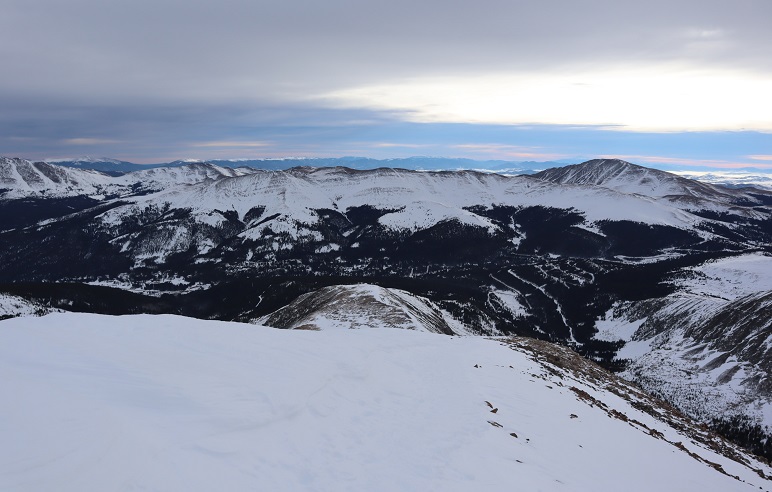
Summit Views: I love the little American Flag at the top (and wonder how it stayed with all that wind?)

9

10

11


Summit Photo:

12


Time to head back down the ridge

13


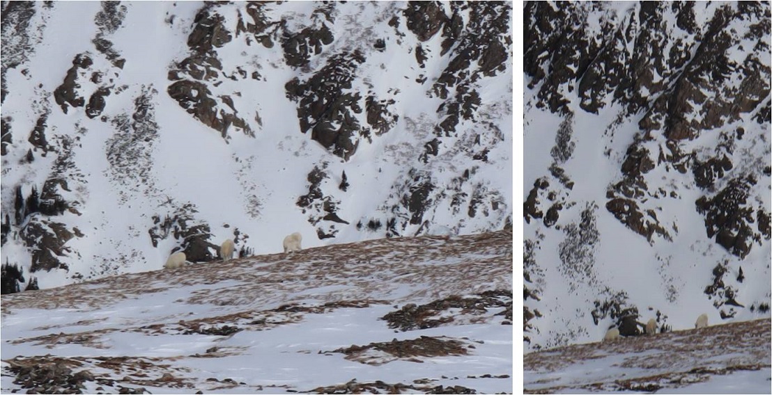
We saw mountain goats on our way down, but had a hard time getting a good photo. Mountain goats are frequently seen here.  In fact, I’ve seen them every time I’ve hiked this peak.

14


We had a good view in the daylight of the recent avalanche area. The slope is only 31 degrees for a very short while, yet it slid yesterday.  Luckily it wasn’t near the trail, but skiers/snowboarders would want to be careful not to ski this area during high avy days

15


The snow off the trail was really soft so Steffen decided to make a snow angel.

16


We made it back down to the trailhead and the guy who’d left his lights on was no longer there, so I guess his battery worked. All in all a great day above treeline!  Congratulations Steffen on your first 14er!

The Quandary Peak Summit Sticker can be found here

Mt Bierstadt in Winter – 14,060

1

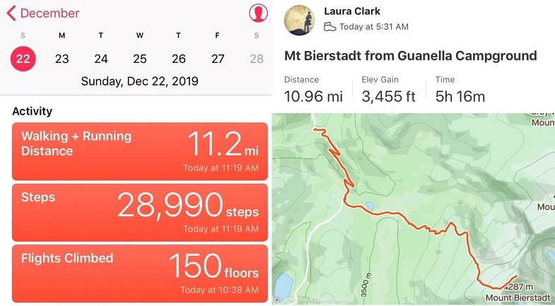
RT Length: 11 miles

Elevation Gain: 3455’

I’m working on snowflake 14ers. Well, kind of. I set a goal to summit 5 more 14ers this year in calendar winter and I’ve been sitting on 4 since March (I only counted DeCaLiBron as 1because… well, it seemed too easy a hike to count it as more than 1) and I really wanted to get in another 14er snowflake this year. I checked the weather and Bierstadt had the best forecast on the first full day of winter so it’s the one I went with. It ended up being a fantastic choice!

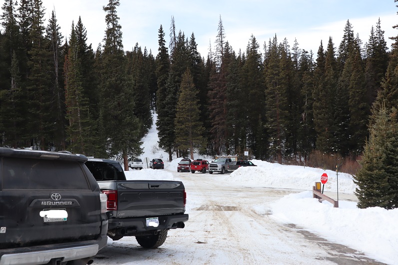
I arrived at the trailhead at 5am to two other vehicles in the lot. I’d actually expected more, considering this is Guanella Pass and it’s the first day of winter. I spent quite a bit of time in my truck getting ready and wasn’t on the trail until 5:30am. I’d decided to start out wearing my spikes and snowshoes, and while they weren’t 100% necessary, I wore them the entire day but could have summited without them. I was just too lazy to take them off. Ok, not lazy, but exposing my fingers to the cold is a no-no and unfortunately a must if I’m going to take the snowshoes off. Also, I’m working on a ‘no blue toes’ season and it helps the cause if I’m not postholing. I would have postholed without the snowshoes.

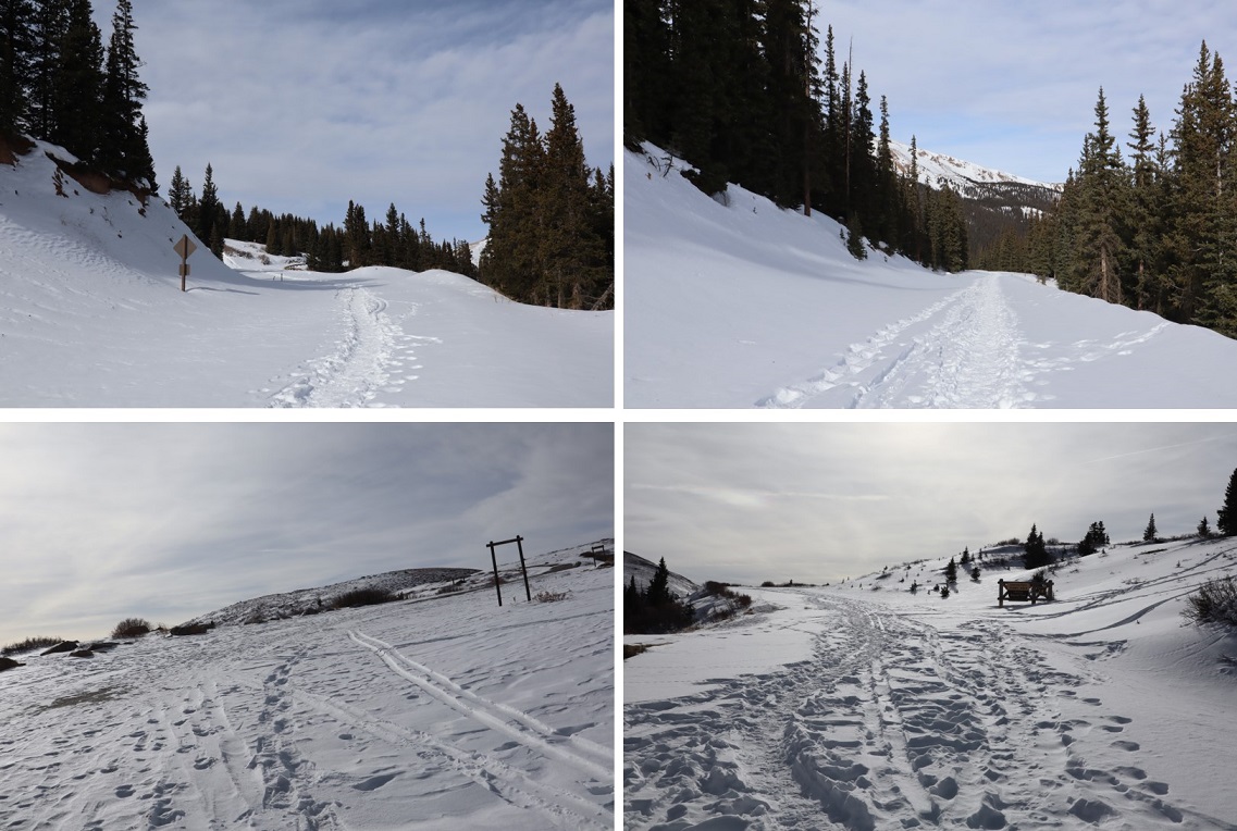
Here are some pictures of the hike along the road

2

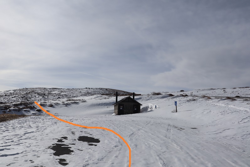
At the upper parking area the bathrooms were closed so I bypassed them and found the trail to the left

3

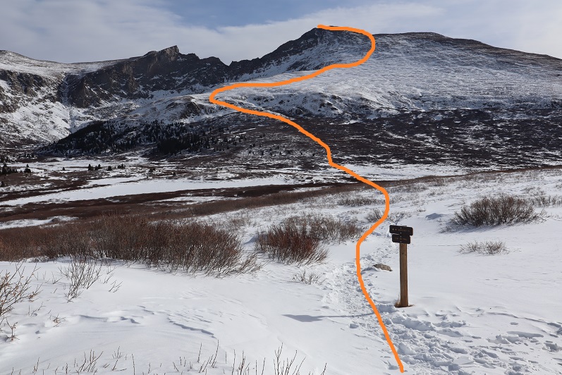
Here’s an overview of the route

4

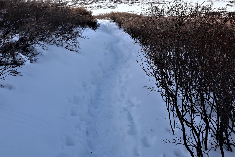
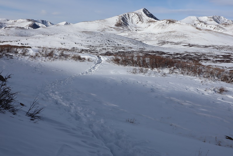
The trail had a great trench and was easy to follow. There were tons of fresh signs indicating elk were in the area and using the same trails as the other hikers.

5

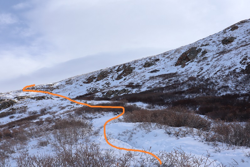
Here’s how to access the area above the willows

6

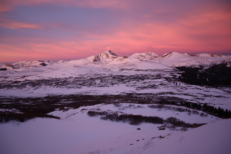
This is also when the sun began to rise. I turned back and my views were phenomenal!

7

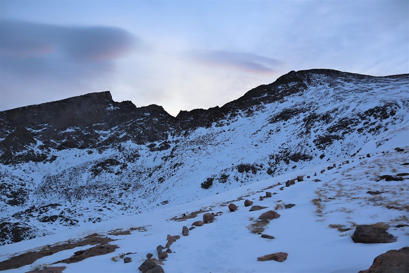
There’s a lot you can say about Bierstadt. One of those things is it’s very well cairned/posted. The cairns are large and the posts even larger.

8

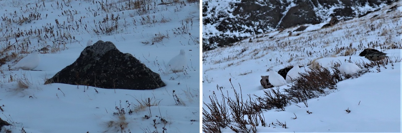
I just followed the snow covered trail and aimed for the next cairn/post. I came across a group of ptarmigans here. There had to be 7 or 8 of them altogether, and they blended in very well with the snow. I didn’t realize they stayed in groups of that size? I’ve only seen them singly or in pairs. It was neat to see so many at one time! One rogue ptarmigan ran ahead and about 10 yards away while the others huddled together.  Also, what do you call a group of ptarmigans? A flock? A flight? A covey? (I think it’s a covey….)

9

In any event, the route was easy to follow all the way to the upper ridge

10

11

12

And to the summit

13

14

15

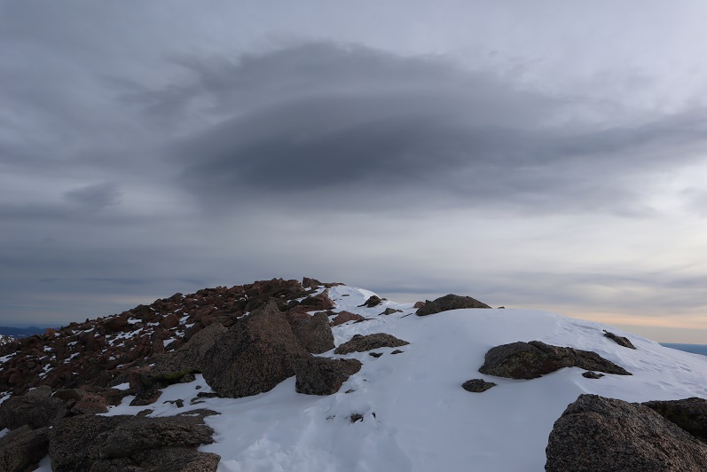
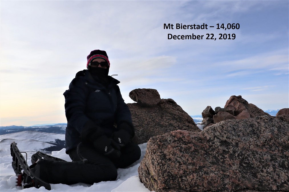
I summited at 8:40am. It was cold but not nearly as windy as forecasted. I was thrilled (but still didn’t take off my gloves)

16

Summit video:

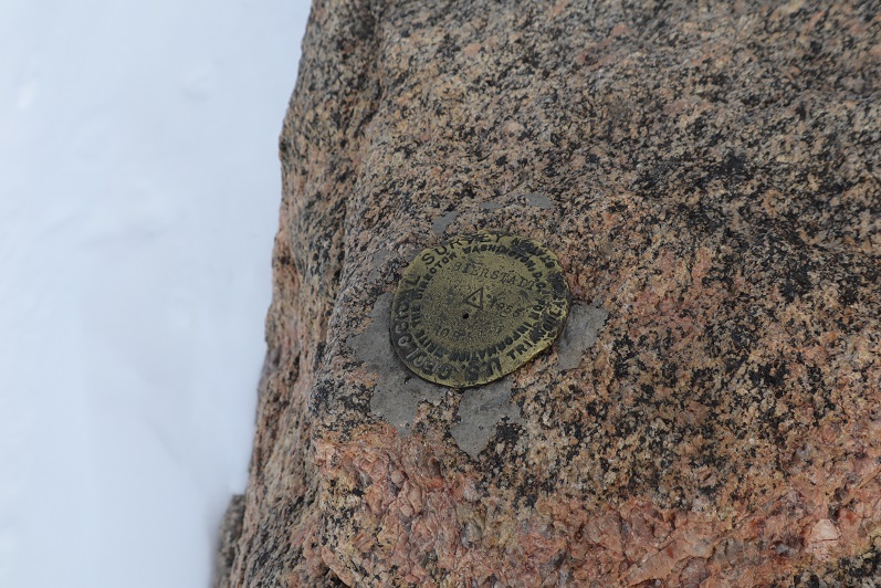
Woot! A summit marker!

17

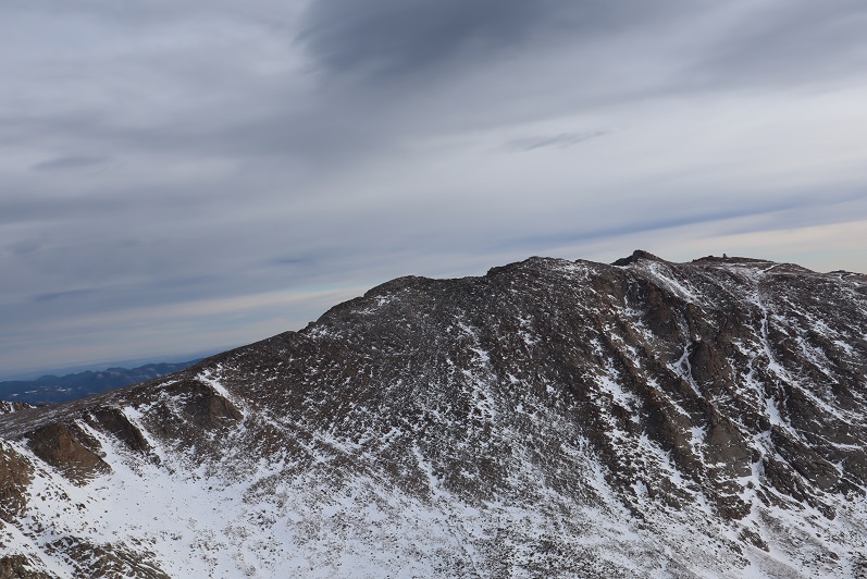
Here’s looking over at Evans

18

Time to head back

19

Here’s the basic route down the face

20

And a cool alternative view of Pikes Peak

21

This is about the time I started seeing other people. Mt Bierstadt can see hundreds of people a day, but today I only saw 5: Woot for hiking in winter!!! Only one other person had snowshoes, which was understandable, as the route was really well packed down.

22

Views of the way back down…

23

24

With more of those awesome trenches

25

26

27

I made it back to the upper parking lot

28

And hiked the rest of the way down to the Guanella Campground parking area. There were many more vehicles there now than when I arrived. Also, they do a good job of plowing this area.

29

I made it back to my truck at 10:45am, making this an 11 mile hike with 3455’ of elevation gain in 5 hours 15 minutes.

30

Summit Sticker can be bought here

GS Troop 2393 Onesie Incline Hike

1

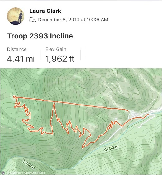
RT Length – 4.5 miles

Elevation Gain: 1962’

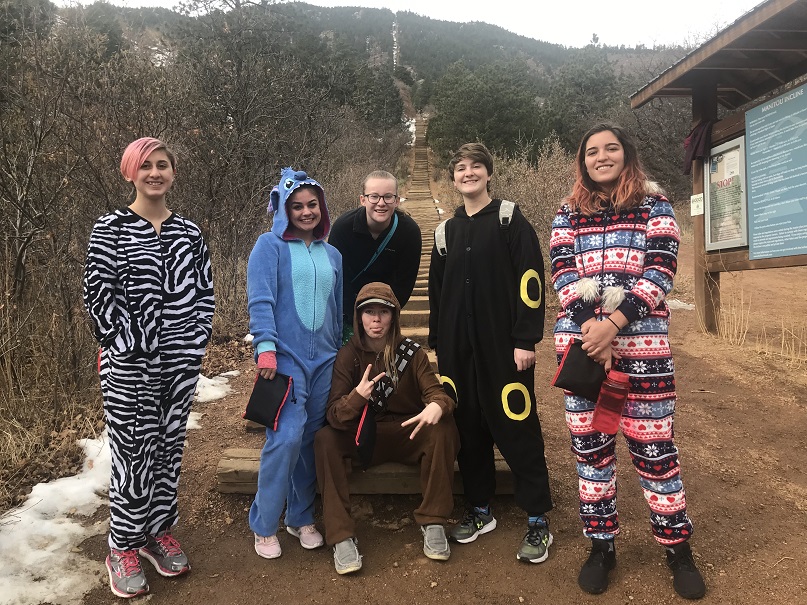
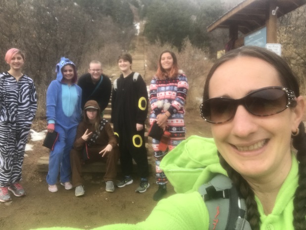
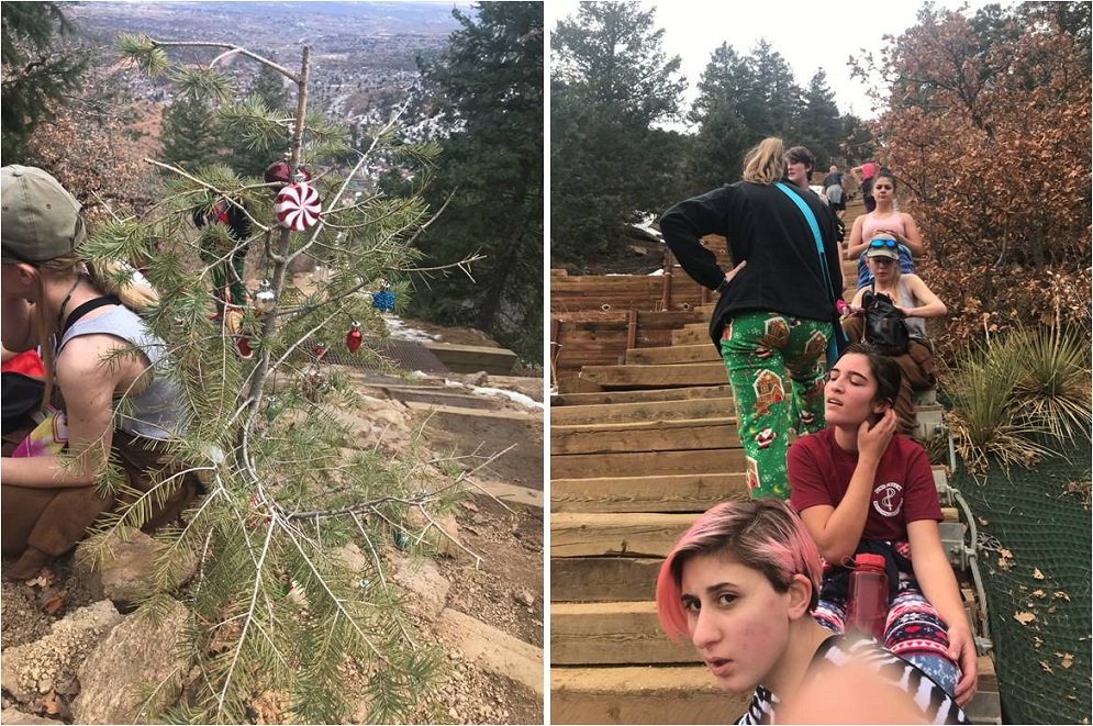
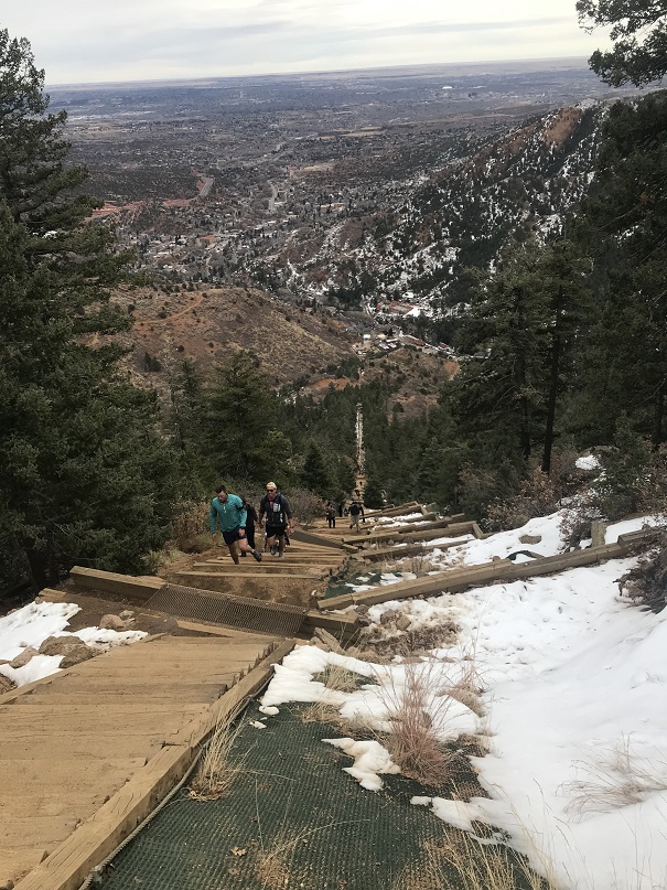
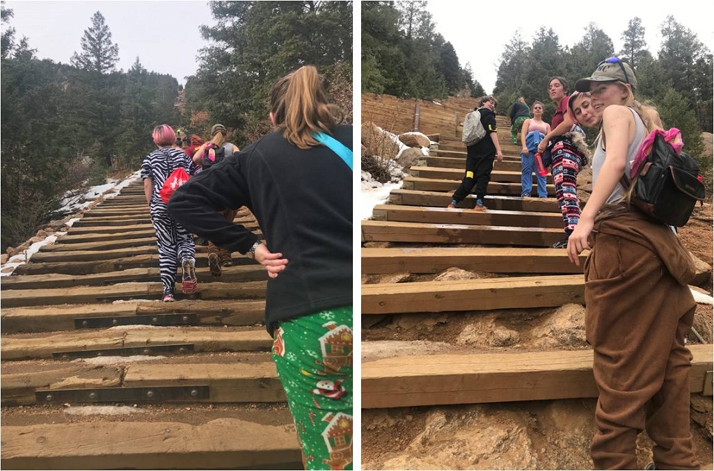
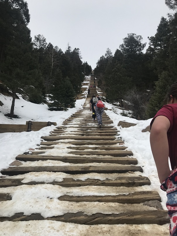
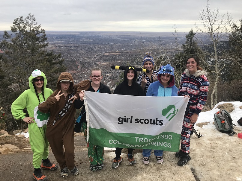
The girls planned this event 8 months ago. The goal:  to hike to the top of the Manitou Incline wearing onesies.  Me, being their leader and knowing they weren’t referring to outfits they wore as infants, had to look up what onesies were (pajama-like costumes that are all one piece).  This sounded fun to me so we worked on setting up a date.  We settled on the first week in December because we thought the weather would be cooler, there’d be less people climbing, and because band and cheerleading would be over so more girls could attend.  They all met at my house and we carpooled to the free shuttle lot.  Side note:  they all drive now, which is weird since I’ve known them all since they were 5.

I’ve never used the shuttle before but it sounded like fun to go with a group and it would save us $20 in parking fees so I was all onboard with this idea. Once the shuttle arrived we had to wait a while for it to take us to the incline (it only goes every 20 minutes) so we talked about our strategy and goals for the climb.

2

I’d shown them a video last week about hiking the incline and they were all excited to try it themselves.

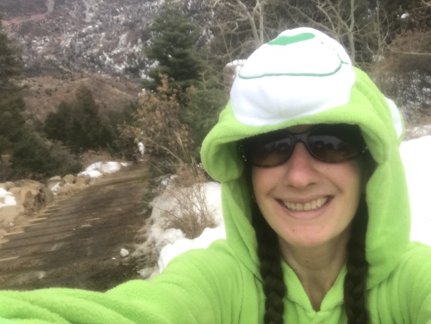
When we finally arrived we walked up to the start of the incline (one of the harder parts of the hike, actually) and the girls put on their microspikes. I wasn’t 100% sure they were needed, but it’s better to be safe than sorry and the troop owned enough pairs so everyone wore them. I took a selfie with the girls and we were off!

3

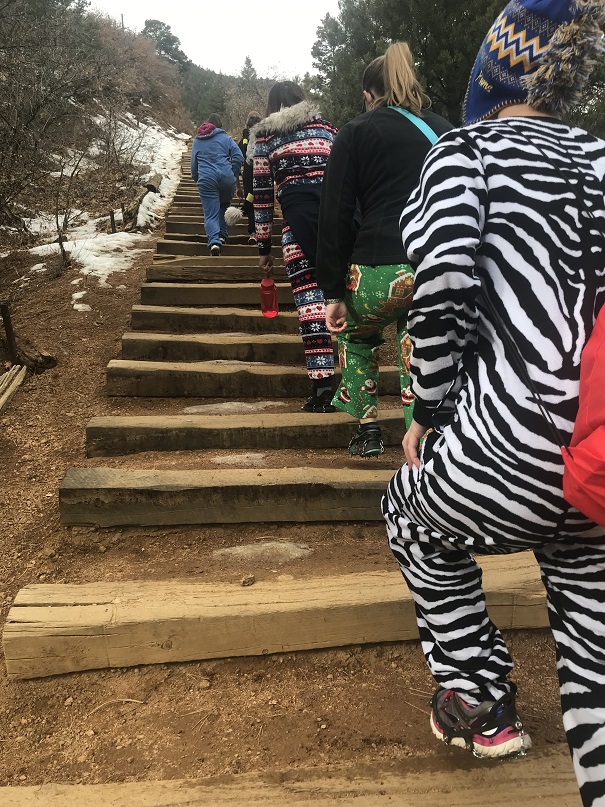
We started out at a moderate pace

4

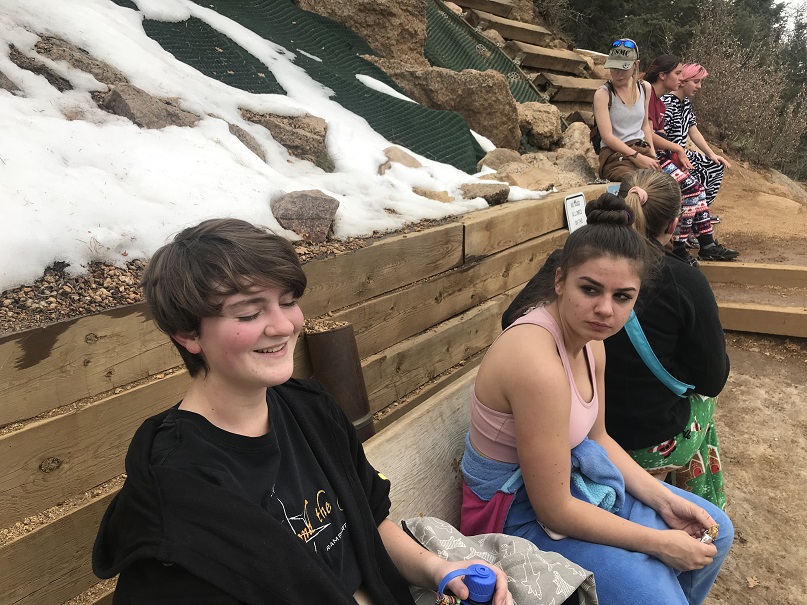
But after the first 200 steps or so they all needed a break and two of them were having a hard time breathing. Not gonna lie, I got a little worried at this point.  When I hike the Incline I don’t take breaks.  Well, today we took a lot of breaks.  And I mean a lot.  Every 100 steps or so we stopped.

5

Soon the girls had tied the arms of the onesies around their waist (who’s idea was it to wear felt on this thing?) and we stopped at the Christmas Tree (the halfway point) for an extended rest.

6

We were glad we’d chosen to hike in December: Yes, the weather was cooler (this would not have been fun in onesies in the sun) and there were less people than normal.

7

More hiking….

8

And more resting…

9

But to be fair, their rests were short and they all kept going. One of my girls had her Tourettes start acting up and she had a hard time seeing due to the ticks but she never complained.  They were all tired but no one wanted to quit.  I’m proud of them for that!  The microspikes ended up coming in handy after the bailout spot, when the trail got icy for a bit.

10

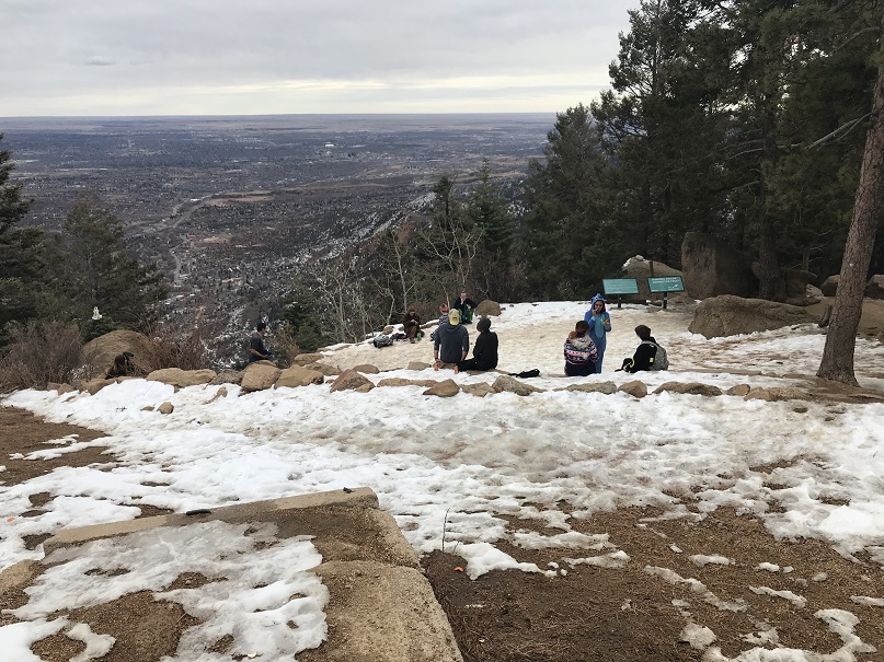
The girls stayed pretty much together, only being separated by a few feet or so for most of the hike, with Kimberly powering on ahead as we neared the summit.  Finally, after an hour and a half of hiking, the girls made it to the summit!

11

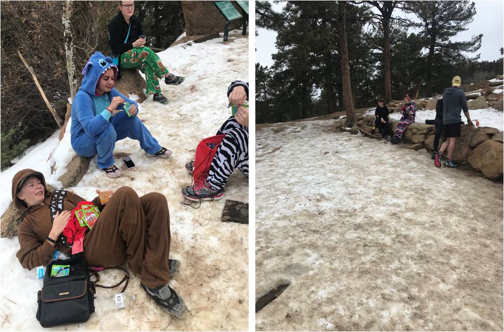
Jules got out the Fun Dip and the girls rested for a bit while I got out the hot chocolate and apple cider. We ended up only having the apple cider though, as my fuel canister had run out and we didn’t have anything to heat the water (bummer!)

12

13

I took a selfie because hey, how many people hike the incline in costumes? Caroline did as well, I’m guessing for SnapChat

14

I tried to get them to continue on to Rocky Mountain but Emily had winterguard practice and everyone was hungry so it was time to gather our stuff and head back down. The Barr Trail down was much icier than the Incline route up and I was glad we had spikes.  The girls realized just how important they were when one of Emily’s broke and she took it off.  In less than a minute she slipped and fell on the ice, landing on her back.  Hard.  Ouch!  But bless her, she took some ibuprofen and kept hiking.  We made it back down to the shuttle at 1:45pm, making this a 4.5 mile hike with 1962’ of elevation gain in 3 hours.

15

We rode the bus back to our cars and drove to Fargo’s Pizza, where Breanna met up with us and we all chatted for a bit. It’s so cool watching these girls grow up!  We discussed boys, school dances, cookie sales, homework, teachers, and a little about our upcoming trip to California.

Garden of the Gods Keyhole Route & Kindergarten Rock

1

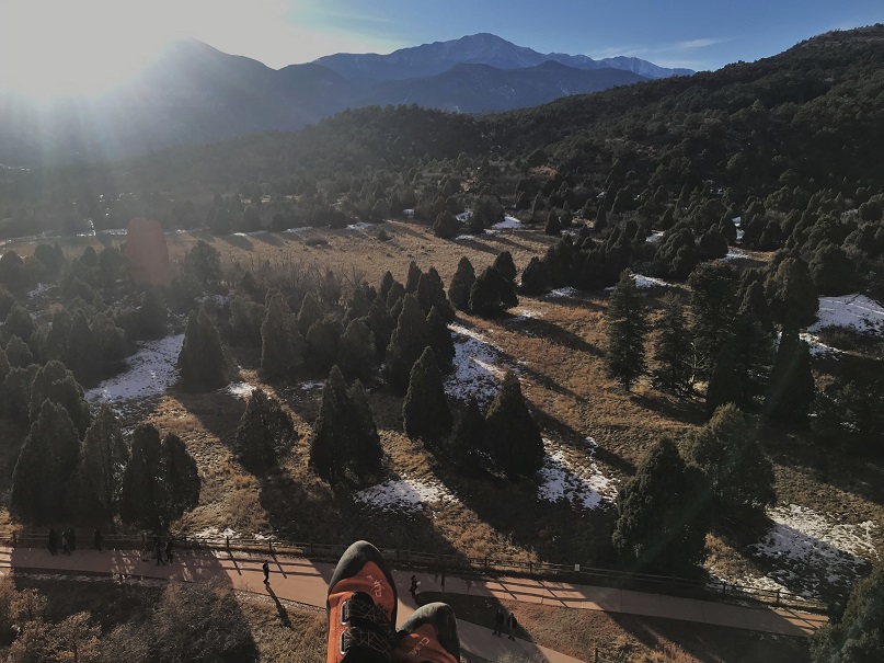
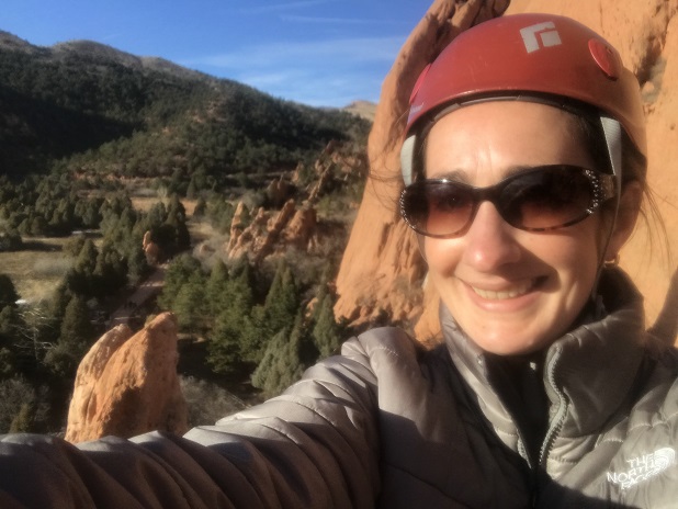
I went rock climbing with a group from church recently. This was super fun but a little out of my comfort zone, as I’m not a big ‘people person’ and usually climb alone.  Everyone was super nice and I was able to get in a run on the keyhole route at the Garden of the Gods.  It was a bit chilly out (hence the puffy) but as a bonus someone brought homemade fudge (yum!).

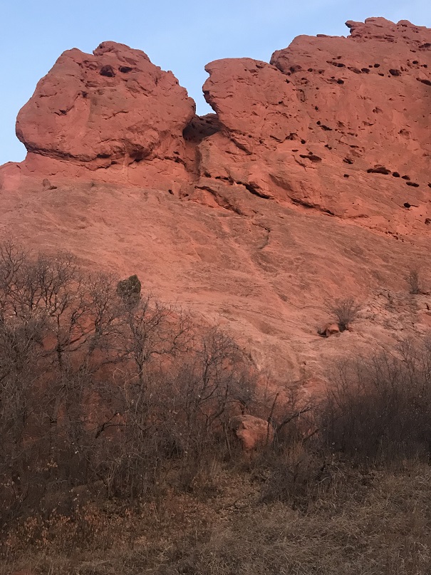
The fun started around 12:30pm with ‘Ralph’s Tree’. You see, Ralph went up first so he could stay up there and take pictures of everyone climbing.  Since he was first it was his job to climb up and then throw the rope back down.   Well, the rope got caught on a scrub bush and knotted up when he threw it down.  It took about 20 minutes for him to sort it all out, but finally he was able to get the rope unstuck and toss it down.  We all joked about it and shouted up at him to be more careful with the next rope.  Well, you guessed it, the second rope got tangled too, and we couldn’t stop laughing!  For a visual, here’s the scrub tree that was the only obstacle that needed to be avoided… and the one that tangled the ropes twice.

2

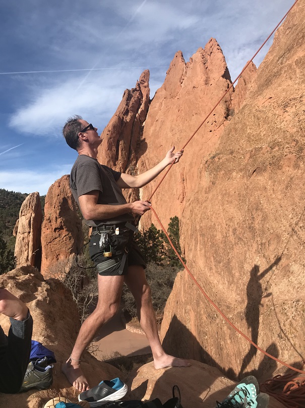
We all had a good laugh about that one and teased him in good fun until the end of the event. Eric was on belay (without shoes, of course) for the orange route and due to the slope of the rock (or lack thereof) the rope near the top had more friction than normal and he had his work cut out for him

3

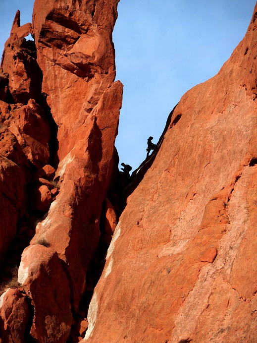
Since I was a guest I waited for everyone else to climb first. As I was waiting and watching and enjoying homemade fudge I noticed some climbers to our left topping out at a cool gully (Eric says we can try that one next).  Anyway, I thought it was a cool visual so I grabbed Eric’s mirrorless and took a few photos.  Don’t they look cool?

4

5

Oh, and while I was there I saw the opportunity to take a shadowselfie I couldn’t pass up.

6

It was fun watching everyone else climb up, and while they did I took the opportunity to study their routes. Check out Curtis and Connie rappelling down together! Awwww!

7

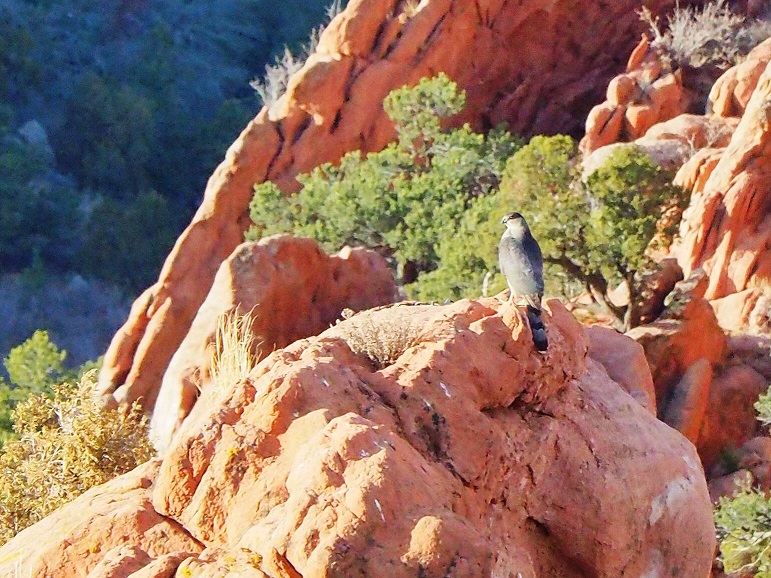
A Coopers Hawk decided to perch near us for a while

8

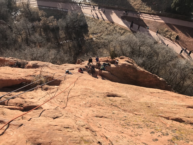
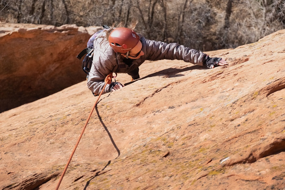
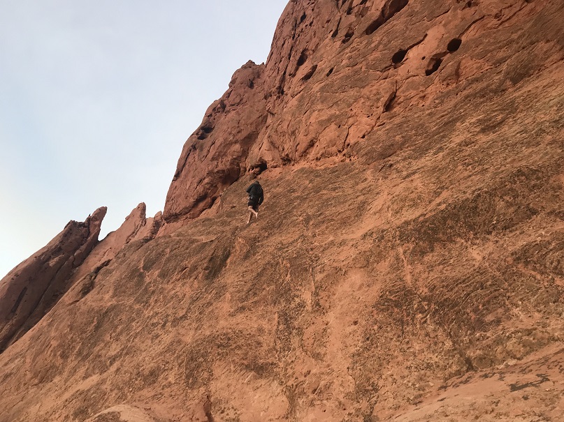
When it was my turn to climb I was totally ready. I knew which line I wanted to take and just went for it.  It actually felt pretty easy.  Ralph got a picture of me from above

9

Once at the top I sat for a minute and enjoyed the view. I could hear the conversations of visitors strolling around below

10

Of course I got a selfie

11

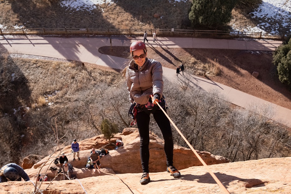
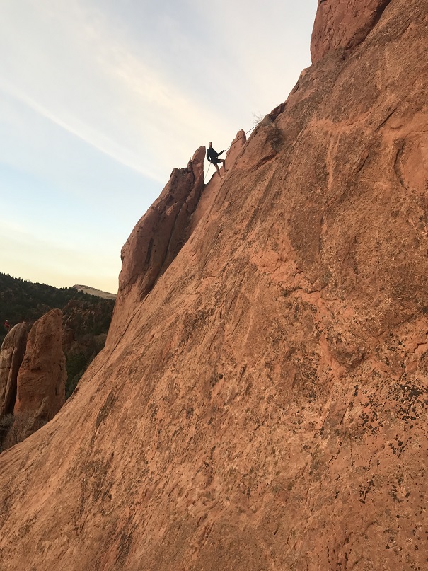
And then rappelled back down

12

I was one of the last to climb (a few people went twice after I was done) and even though it was early the sun was fading fast. It tends to do that with Pikes Peak to the west.  I was talking with Eric and decided to get creative with my camera.

13

All in all a fun time! Afterwards I brought Emily home a pizza and then joined everyone for church.

Oh, and here’s a few photos from Kindergarten Rock Eric and I climbed that one last week but I didn’t post.

14

15

And from scoping out Keyhole for this trip

16

17

18

Another cool silhouette sunset shot. That one’s on my list of climbs too.

19

Mt Tweto – 13,672

1

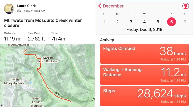
RT Length: 11.2 miles

Elevation Gain: 2762’

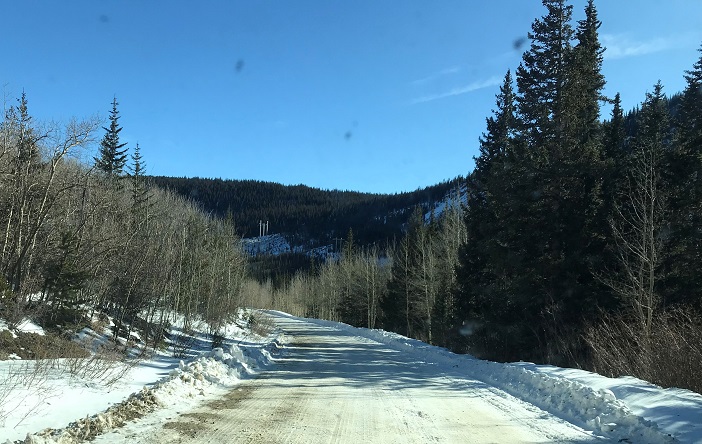
My flight actually made it in on time and I drove from DIA to the Mosquito Creek trailhead starting at around 11pm. I70 was closed for rock mitigation so I used 285 instead (and passed fire trucks rescuing drivers from vehicles that had slid off the road).  I was a bit worried about the conditions of the roads since it’d snowed yesterday, but I had no trouble making it to Alma.  From there the 2WD dirt road was icy but drivable.

2

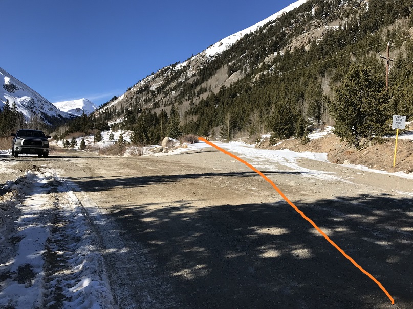
I saw signs indicating Mosquito Pass was open, but I was headed to the Mosquito Creek Trailhead. I turned off the 2WD road onto the 4WD road and drove up about 20 yards before deciding to turn my truck back around and just park at the junction.  I didn’t feel comfortable driving my truck through the snow on the road, and I knew it would most likely just get worse as the day warmed up.  So I parked my truck and since it was only 1:30am I decided to try and get some rest before starting the hike.

3

I set up my sleeping bag(s) in the cab, ate a few pieces of turkey jerky I’d made with Thanksgiving leftovers from last week, downed a few shots of whiskey and I went to sleep. My alarm was set for 5:30am, and although it was 12 degrees outside and the wind was howling I was warm inside my sleeping bag inside the cab of my truck. When the alarm rang at 5:30am and it hadn’t even begun to turn light and that wind sounded less than fun I made the decision to re-set my alarm for 6am and got in another half hour of sleep before starting the trail at 6:15am.

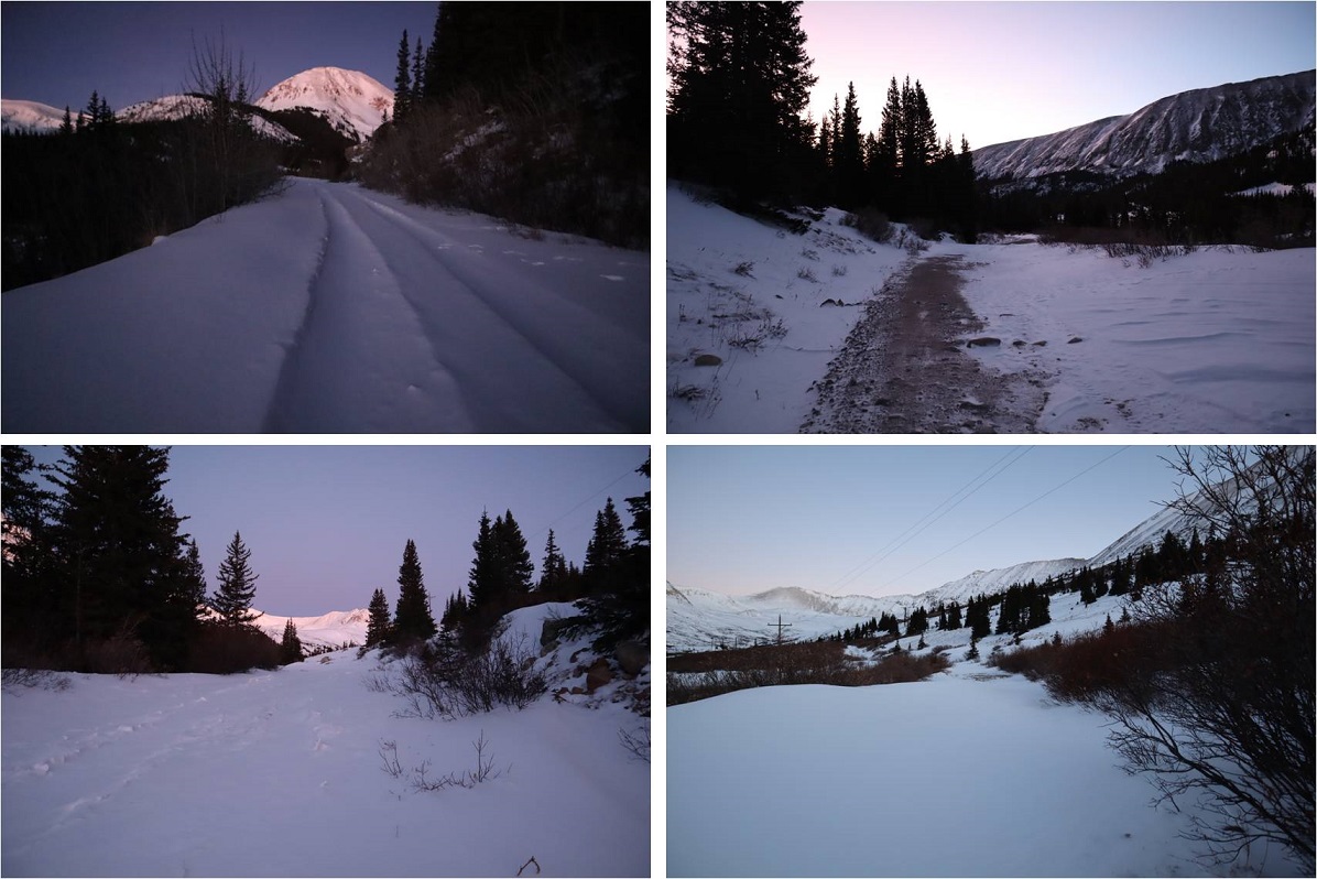
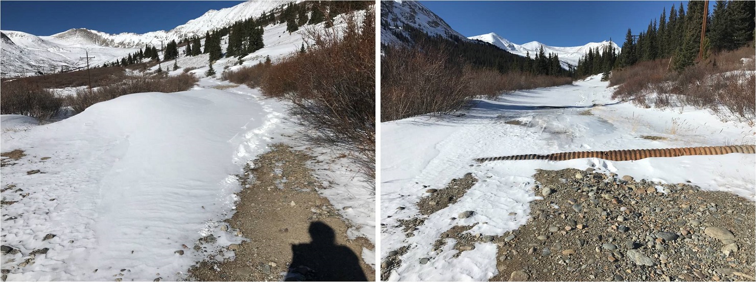
I was immediately glad I’d decided to park where I had. Just following the road the conditions ranged from bare dirt to 6 inches of ice to 4 feet of snow.  There were quite a few drifts covering the road I wouldn’t have felt comfortable driving my truck through.   There was a constant wind coming through the lower basin, changing the drifts as it went.

4

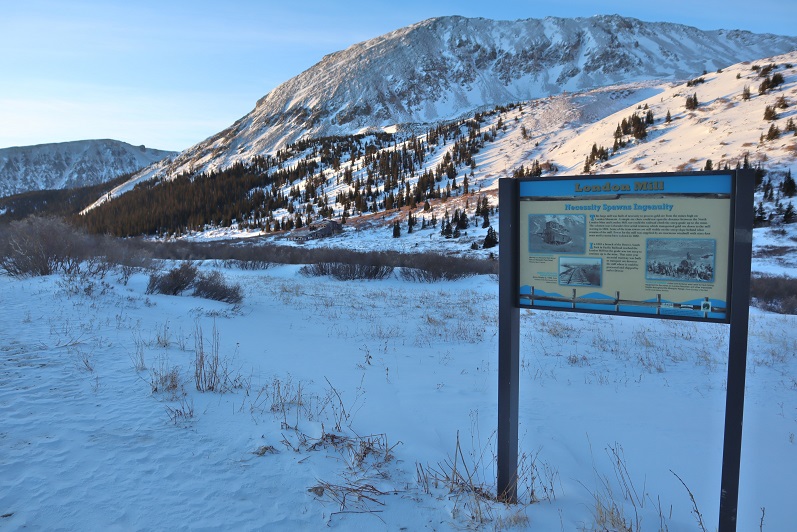
I wore my microspikes from the time I left my truck until I made it back, but didn’t need snowshoes until I reached the London Mill.

5

After the London Mill the snow picked up on the 4WD road and I was postholing up to my knees, even with my snowshoes on. It was slow going and very tiring.  Here’s a look at the rest of the route

6

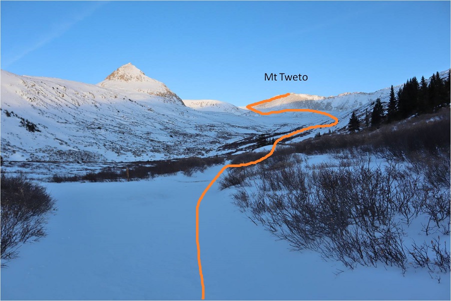
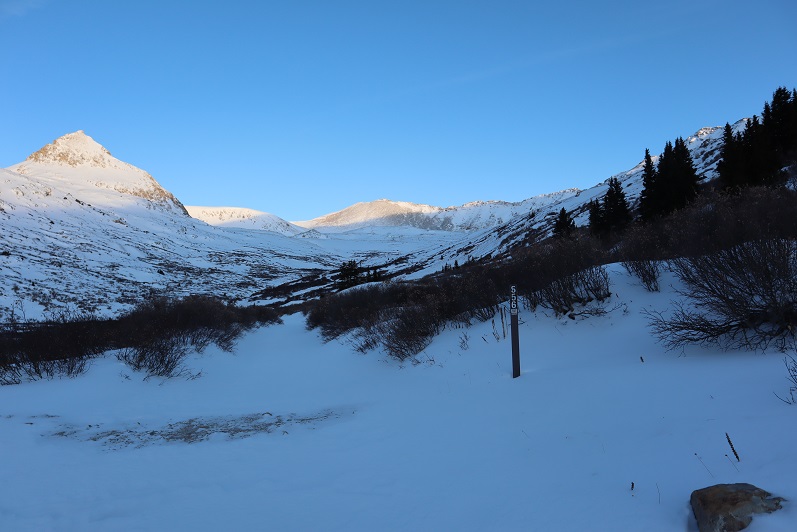
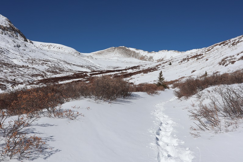
I followed road 656 into the upper basin.

7

There wasn’t a ton of snow, but there was enough to completely cover the road in areas.

8

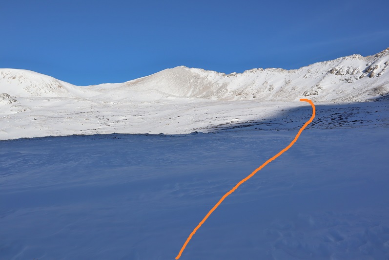
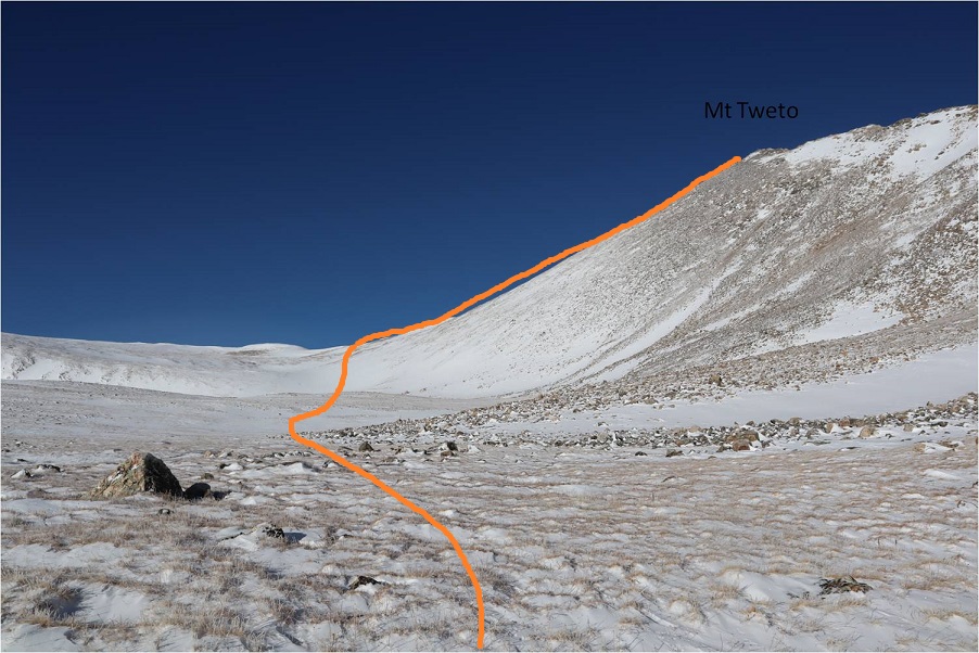
Once I was in the upper basin the wind stopped but the snow levels were still uneven. I made my way towards the aerial cable.  I could see what was left of it littering the mountain even from hundreds of yards away.  Here the road stopped.

9

I turned left and headed west

10

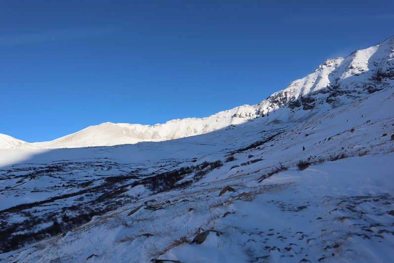
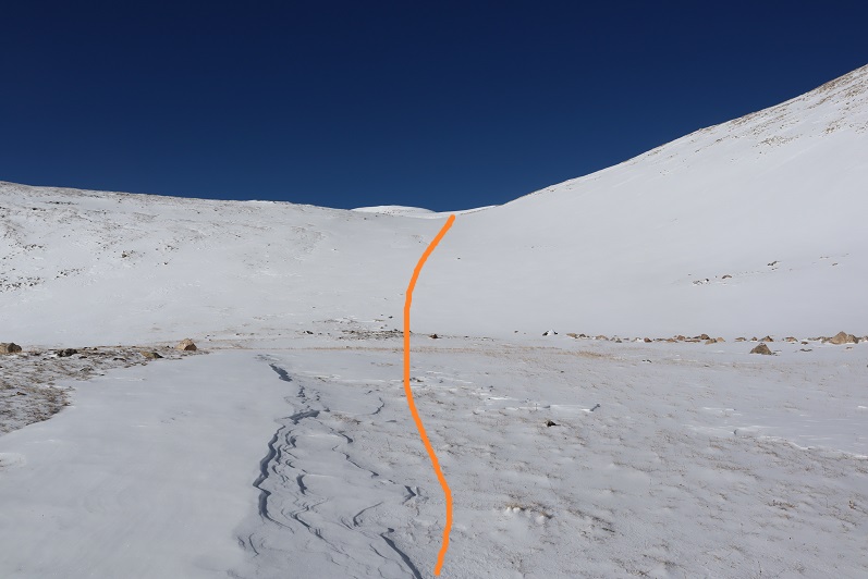
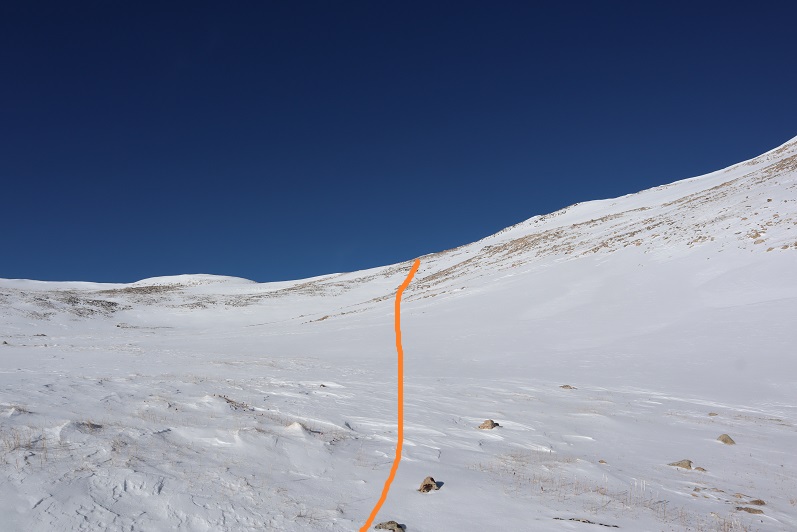
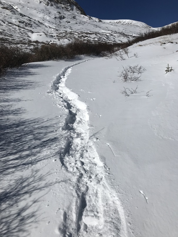
My goal was to gain the ridge. It was a straightforward snowshoe with no large rocks/obstacles to overcome.

11

It’s steeper than it looks, but I didn’t need to put the risers up on my snowshoes.

12

13

Once on the ridge the wind picked up again, but it wasn’t giving me a headache like I’d had on Mt Flora.

Side note: for those of you who remember the curious headache/nausea that caused me to turn back after summiting Mt Flora instead of hiking the ridge, I found out what happened (and no, it hadn’t been the wind).  Before hiking Flora I’d woken up in the middle of the night and needed a quick drink, so I went to the fridge and half dazed with my eyes squinted closed to block out the fridge light found some iced tea in the back and chugged it straight from the container.  It had tasted awful, but I hadn’t thought much of it.  I travel to China for work and bring home loose leaf tea, which my kids love to make.  Sometimes it has a curious taste/texture.  The next day I’d had a terrible headache accompanied with nausea while hiking above treeline and attributed it to the constant wind.  Well, a few days later I was cleaning out my fridge and when I found the tea in the back of the fridge I noticed what I’d thought had been leaves had actually been mold: Big clumps of mold floating in the tea and covering the sides of the container.  Thinking of how I’d swallowed a good cup or more of that stuff made me nauseous all over again, and I felt lucky a headache was all that had happened.  The container was beyond cleaning so I threw it away.  Needless to say, I will be looking much closer at my late night drinks in the future. 

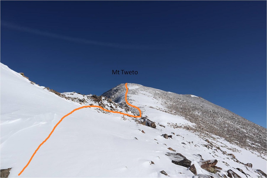
I followed the ridge north. There were a few cornices forming on the ridge making snowshoes helpful and just enough rocks to slow me down.

14

15

16

Towards the top the wind really picked up and you could actually see the cold. I kept on my snowshoes even though they were overkill.  I just didn’t want to take them off to put them on again in the cold and wind.

17

As I got closer to the top I noticed a plaque to the left of the summit and went to get a closer view

18

The actual summit was just to the right (east) of the plaque

19

I summited at 10:20am

20

Summit Video:

I hadn’t seen my daughter all week because I’d been in Florida for work, so I decided to just head back the way I’d come instead of heading over to hike Treasurevault, Mosquito, etc. It was my goal to be back home when she got home from school, so I turned around and headed back down the ridge

21

I followed my tracks back down the ridge

22

Back through the basin and to the 4WD road.

23

24

Most of my tracks were gone in the upper basin, but once I made it back to the road they were easy to follow. I did my best to make a trench, but it could use a few more people on the route.

25

26

I was once again glad I’d decided not to drive the road up.

27

I started this hike at 6:15am and finished at 1:15pm, making this an 11.2 mile hike with 2762’ of elevation gain in 7 hours. I didn’t see another person hiking all day.

28

29

I made it home in just enough time to take a shower before my daughter came home from school. She was a little sheepish when she walked in; the kitchen was a mess with dishes in the sink and on the counter and opened packages and mail all over the place.  She’d thought she had another few hours to clean up before I arrived.  I was just happy to see her.  We chatted and cleaned up the kitchen together before making dinner and heading to the ice rink.

Mt Sniktau – 13,234

1

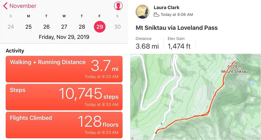
RT Length – 3.7 miles

Elevation Gain – 1474’

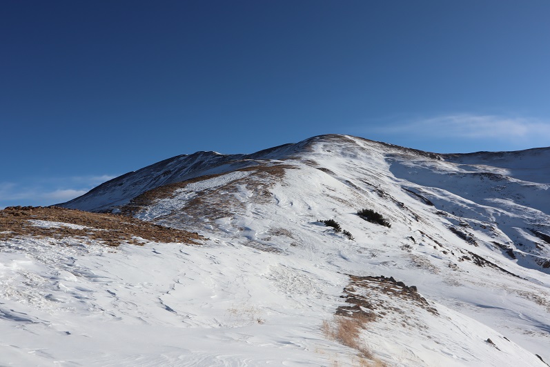
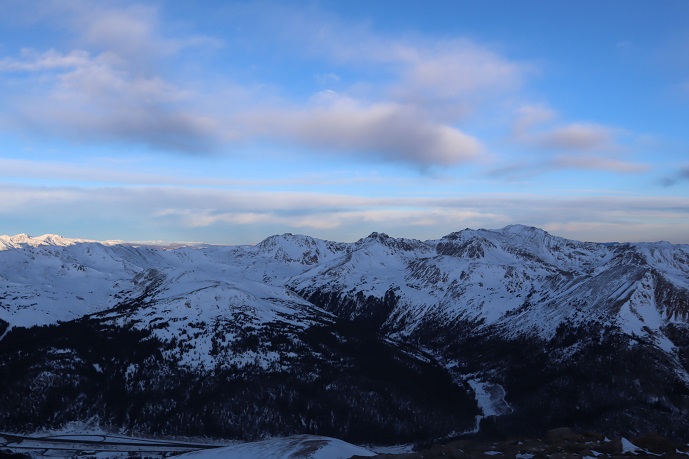
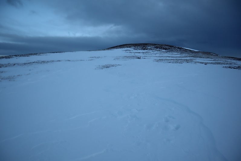
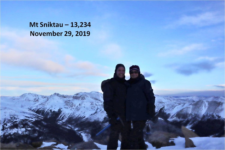
I’ve already climbed Mt Sniktau before so this isn’t much of a trip report but more journaling. A detailed trip report of Mt Sniktau can be found here.

Steffen asked me to take him hiking a 13er and to be honest the weather everywhere in the state was terrible for today. We’re talking 50+ mph winds and snow.  Lots of snow.  In fact, Mt Sniktau had snow forecasted to begin at 11am, so I figured we should start early.  He met at my house at 3am and we carpooled there.  I drove, and found it odd to have someone else to talk with in the car.  There was rock mitigation work along I70 which seemed to come out of nowhere but I was glad they were working on the problem (large boulders landed on the road, blocking an entire lane).

We arrived at the London Pass trailhead at 5:45am, the only ones parked in the lot, and spent some time in the truck putting on our snowshoes and gear. It was dark so I couldn’t tell if we needed snowshoes or not, but figured it best to put them on when it was warm and take them off if necessary.  Another vehicle pulled into the lot and a man started hiking a little before we did.  We started on the trail a little after 6am.

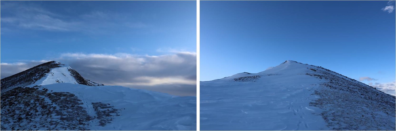
There was a faint trail in the snow up the ridge, and after about 100 yards there was enough light to see we didn’t need snowshoes so we took them off. We quickly caught up to and passed the hiker in front of us, who was intent on “Cupid” and maybe Grizzly.  We wished him luck and followed the ridge.

3

The forecast called for snow and it looked like it was rolling in. Luckily we were always in sight of the trailhead so I wasn’t too worried about the weather.

4

Steffen was doing great physically but was having minor difficulties breathing so we took breaks every now and then so he could catch his breath. He was a champ though and did a great job keeping up and not complaining.  We followed the ridge to the summit.

5

6

There’s a large cornice on the top of Mt Sniktau Steffen had fun playing on, which terrified me a little…

7

Looking at the weather over Grays and Torreys we decided it was time to head back

8

9

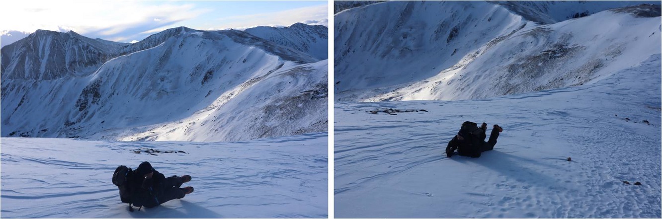
Along the way I taught Steffen a little about how to self arrest with an ice axe and he spent some time practicing. This is a really good skill to know how to use when climbing in winter conditions.  Remember to keep those spikes up!

10

We didn’t see another hiker the entire day, which seemed odd for this peak. It’s a popular one even on bad weather days because the trailhead is accessible and this is an ‘easy’ 13er.

11

We made it back to the truck at 8:30am, making this a 3.7 mile hike with 1494’ of elevation gain in 2.5 hours. The weather had been a bit gloomy but not too windy and as an added bonus we missed the snow!

12

On our way home we discovered why no one else was out hiking Mt Sniktau today: I70 was closed where the rock mitigation was this morning and there were backups for miles and miles and miles in both directions as drivers exited and had to find an alternate route.  It didn’t look like anyone was going skiing/snowshoeing/hiking here today, and to make it worse this was a holiday weekend. It was a good thing we left so early:  we were lucky to have missed the traffic!

Colorado Mines Peak – 12,493 & Mt Flora – 13,129

1

RT Length: 7.75 miles

Elevation Gain: 2334’

The weather always wins. The day before this hike instead of getting 1-3” of snow we got more like 8” and I’d spent quite a bit of time shoveling my driveway.  This extra snow occurred all over the state and the peak I’d intended to climb now wouldn’t have a reachable trailhead.  So I did the easy thing and just switched my plans to hike a peak with a 2WD trailhead.  Admittingly, I didn’t do much research and just left the house with a topo map and a vague idea of where I was headed.  Luckily this is one of those peaks you can do that with.
2

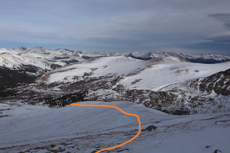
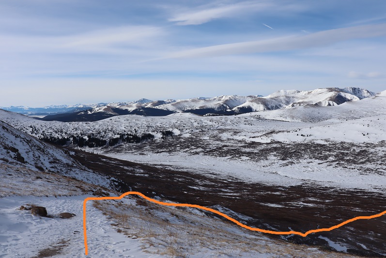
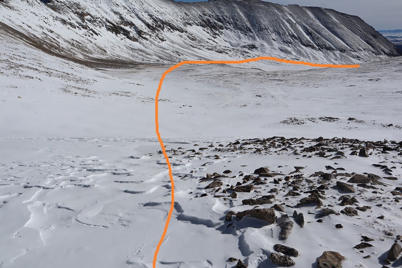
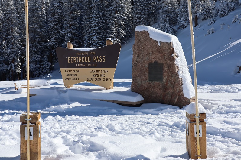
I’d never been to Berthoud Pass before and was surprised at how large the parking lot was. It was 12* when I arrived around 5am and I decided to put on all my gear while sitting in my truck.   Then I waited for a little bit of light before heading out.  It had snowed here quite a bit yesterday as well and there were several feet of fresh, sugary powder on the ground.  Since there were no tracks I wasn’t sure where the road/trail was so I just headed up the mountain (dotted line).  This was more difficult than I‘d expected, as I kept sinking up to my waist in the snow.  Snowshoes weren’t helping.  Eventually I made my way to a road (solid line) and realized where it went all the way down to the parking lot (whoops!) and took it all the way up to Colorado Mines Peak.   The road is located at the south end of the parking lot and without snow should be easy to find.  In the afternoon there were several tracks made to the road by others who’d known what they were doing.

3

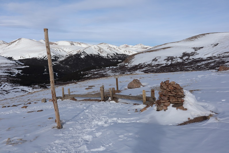
The road was easy to follow because there were poles placed every 50 feet or so along the trail. I was postholing here as well, and my legs were getting quite a workout.

4

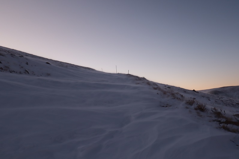
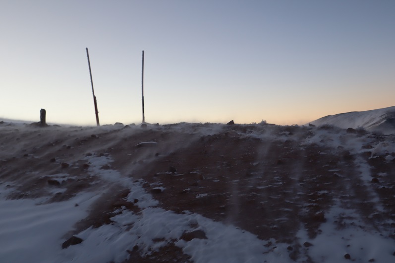
As soon as I was out of the trees the wind picked up and never stopped. It wasn’t more than 20mph, but it just wouldn’t let up.
5

6

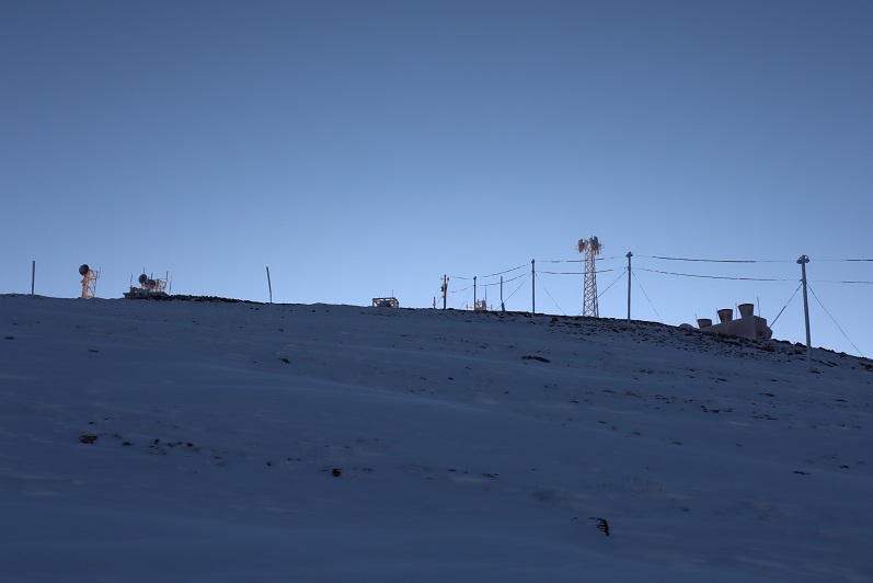
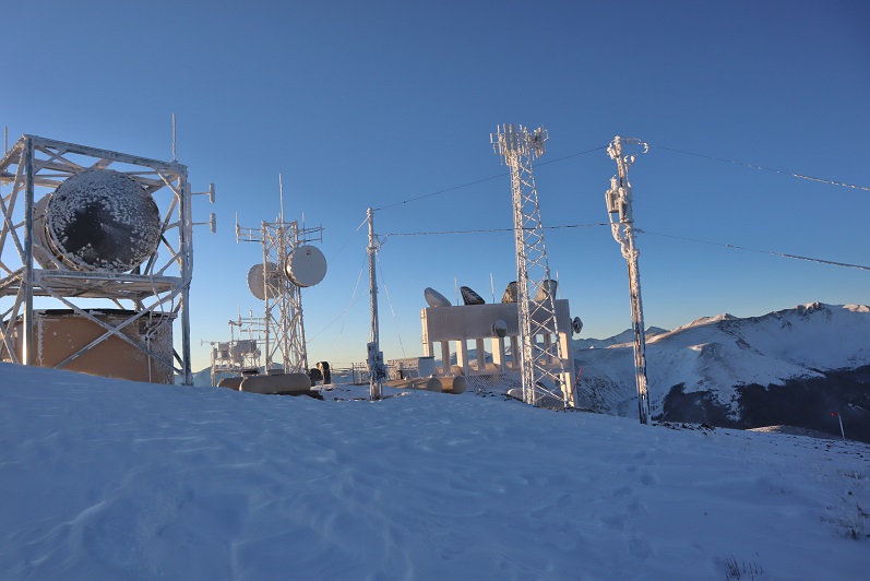
There wasn’t much route finding on this part of the trek, as the road was easy to follow all the way to the top of Colorado Mines Peak. At the top there were radio towers and buildings, etc.
7

I wasn’t sure where the summit was, so I just walked all around, taking pictures of the various structures.  They’re larger than they look.
8

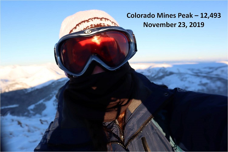
It was windy and cold and I didn’t feel like setting up my camera so I just got a quick selfie
9

I didn’t see an established trail from the top of Colorado Mines Peak to Mt Flora, but I could see a trail heading up the ridge of Mt Flora so I headed northeast down the side of Colorado Mines Peak towards the saddle

10

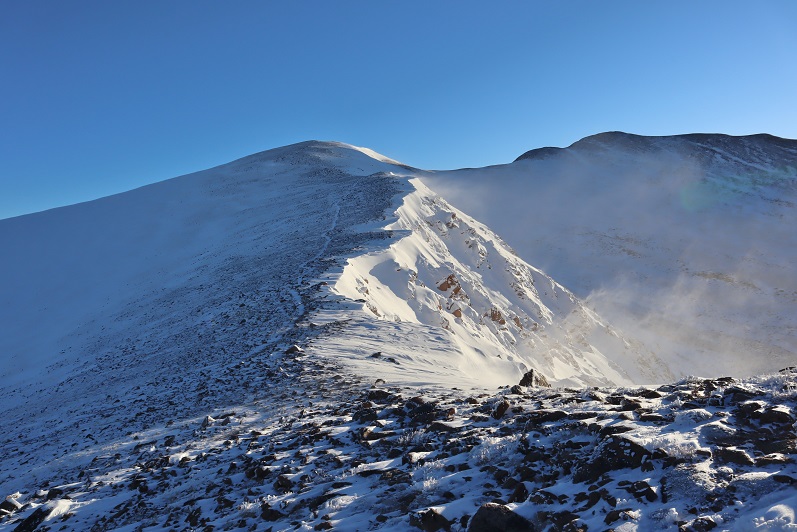
The wind was still blowing, forming a cornice along the ridge
11

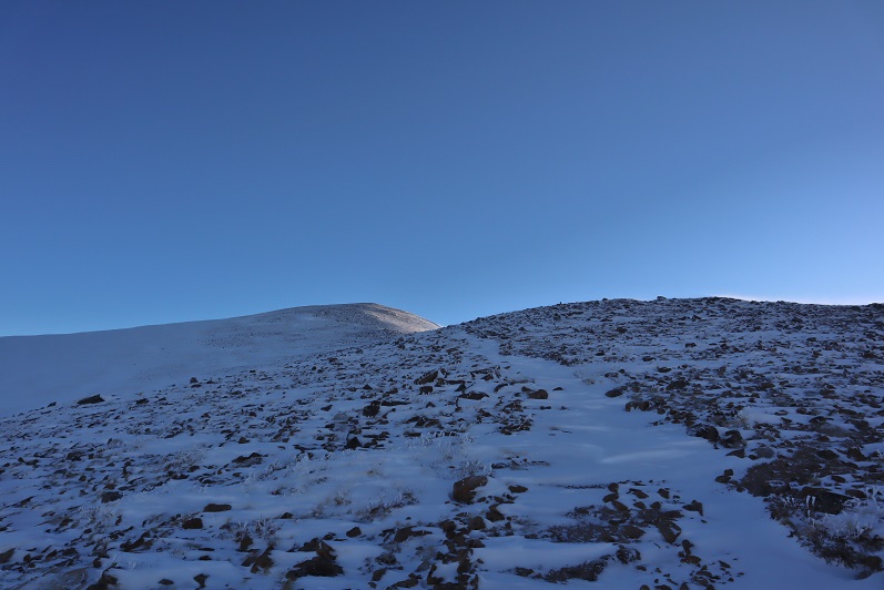
The trail from the saddle up was easy to see. Snowshoes weren’t needed here, but due to the wind and cold temperatures I didn’t want to take off my gloves to take off my snowshoes, so I left them on.
12

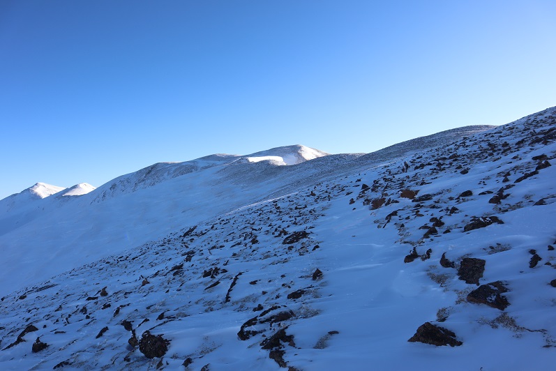
Did I mention the wind? At about this time it was getting really annoying.  I kept thinking every time I went around a corner or over a hill that the wind would die down, but it didn’t seem to matter which side of the mountain I was on: I was getting pounded by the wind (and ice)

13

This was all very frustrating because this was a relatively easy hike, yet I was starting to get a headache from the constant wind
14

15

16

17

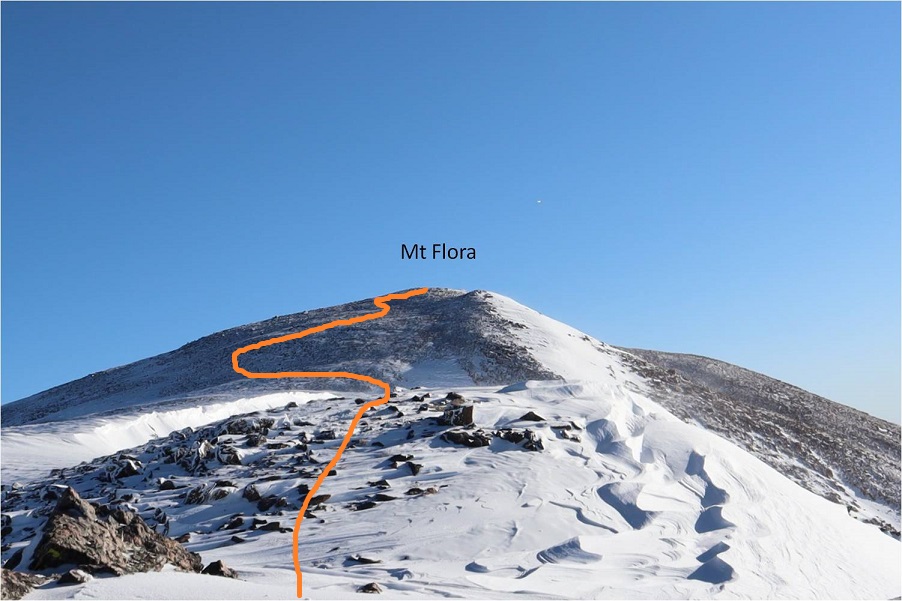
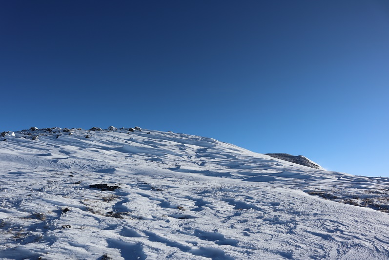
After winding around the mountain for what seemed like a long while I could see the last bit to the summit. Here the sastrugi was beautiful and in most places solid, making it easy to cross
18

19

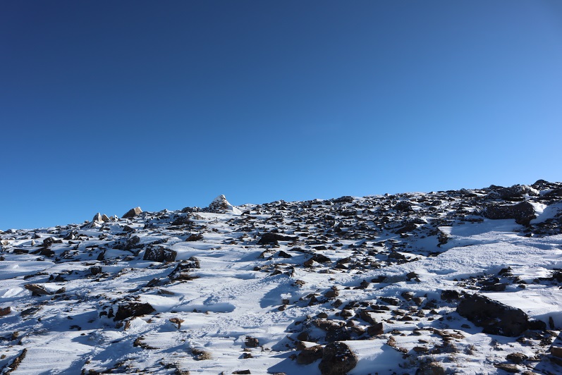
There were several large cairns indicating the path to the summit
20

The summit was large and relatively flat, with cairns, signs, and windbreaks full of snow

21

22

I’m not sure what time I summited, but it still felt like early morning.

23

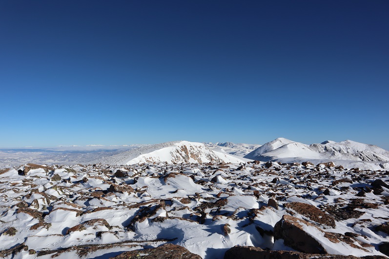
It was still early in the day when I summited and I wasn’t tired at all, yet I was starting to feel nauseous. This wind was really getting to me.  My balaclava had frozen to my face and I was worried I was getting frostnip on my nose (I was).  I walked around the summit and looked at some of the other peaks I’d wanted to hike today
24

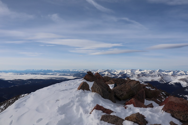
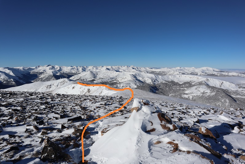
This should have been such an easy hike (and it was) but I decided here not to continue on. Yes, I’d wanted to summit a few other peaks today, but the forecast called for increased winds in the afternoon and I’d already had enough.  This wind was making the morning miserable. Looking ahead at an added 6 miles of wind sounded like torture, and that’s not why I hike. I told myself I’d come back and do this hike again when the conditions were better (less wind). So I turned and headed back towards Colorado Mines Peak
25

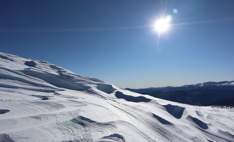
As the wind increased and I became ever more nauseous I celebrated my decision to head back and enjoyed the views
26

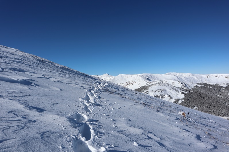
Instead of going back up and over Colorado Mines Peak I decided to follow the trail that went around the mountain. Until the trail was obscured by snow and I couldn’t follow it anymore.  Then I just made my way around the mountain until I found the road again.

27

The snow here was thicker and I was glad I’d kept on my snowshoes
28

29

Here’s a look back at my tracks to the road

30

Once on the road again I noticed all of the tracks I’d made this morning were gone

31

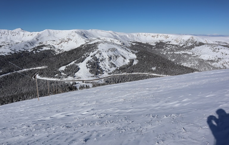
Here the wind let up and I took a minute to take some ibuprofen. Almost immediately I began to feel better.  I could see the parking lot was full of vehicles and if I had skis I’d just slide my way down there.  The snow was all powder and the skiers seemed to be enjoying themselves immensely.
32

About halfway down the mountain I came across plenty of new tracks and two trenches on either side of the road. Needless to say, hiking down with a trench is a lot easier than trenching on the way up.  I was thankful for everyone who came after me and made a solid trench.

33

34

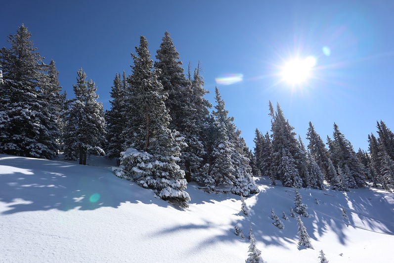
I was also thankful to be out of the wind. The trees were lined with fresh snow and made for a beautiful trek out.
35

I made it back to my truck around 11am and was surprised to find people tailgating in the parking lot. I guess that’s a skiing thing?  The parking lot was buzzing with activity, too many vehicles, people and pets, and I had to be careful not to run anyone over in the parking lot on my way out.  I looked at my nose in the mirror.  Yep, I’d definitely gotten a little bit of frostnip.  I wish I could find a way to keep my balaclava from freezing?  Hmmmm.  Maybe I just need to try a different brand.

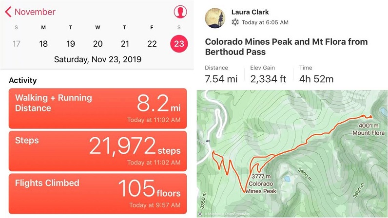
I started this hike around 6am and finished just before 11am, making this a 7.75 mile hike with 2334’ in elevation gain in 5 hours. I was a little disappointed I hadn’t done more today, but felt trenching in powder had given me a good workout just the same.  Any day above treeline is a win.  I’ll be back to complete this hike soon.
36

37