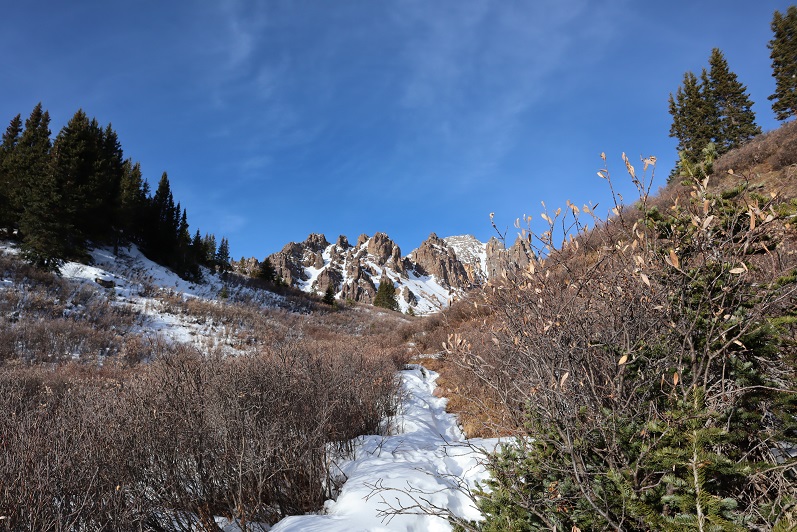
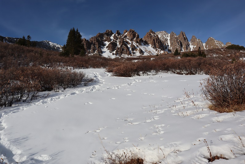
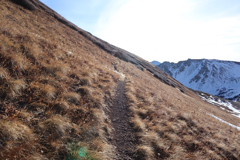
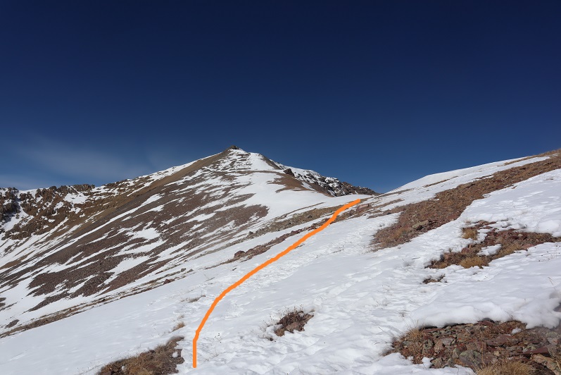
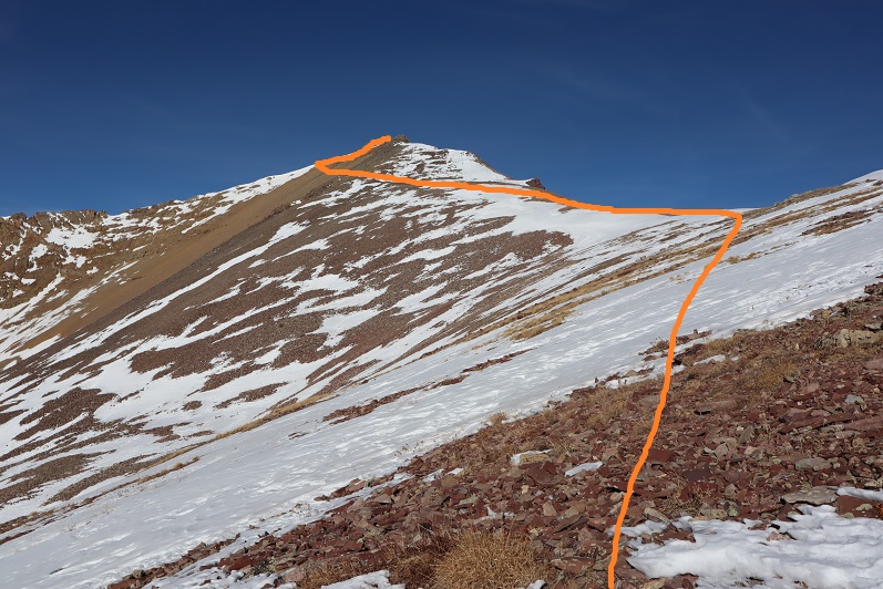
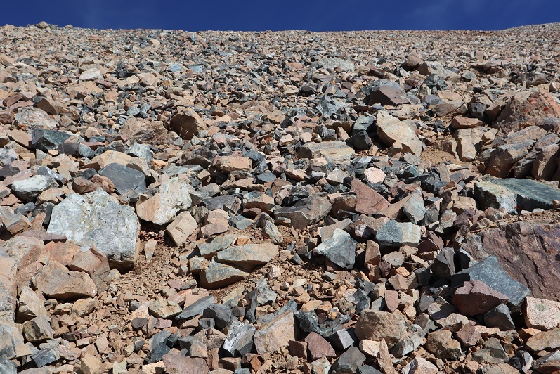
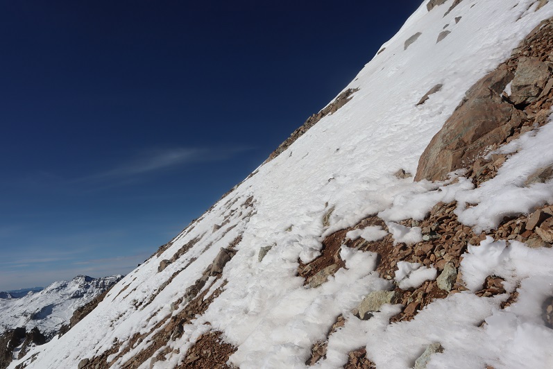
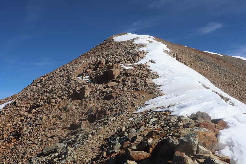
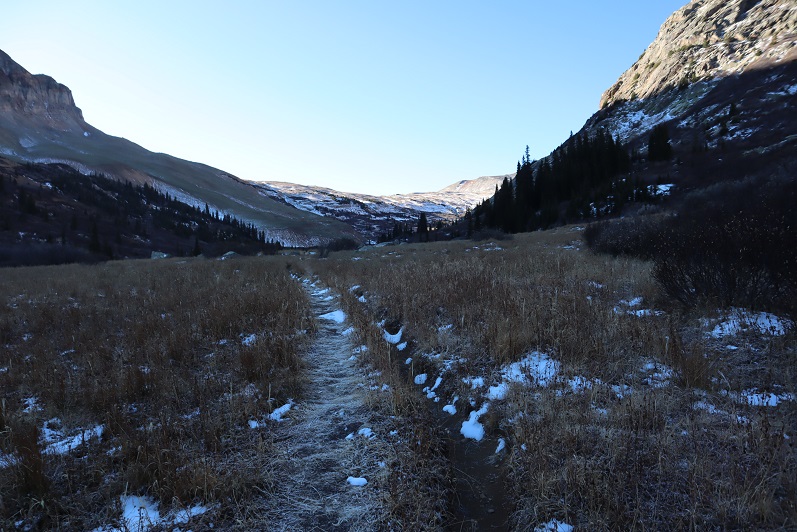
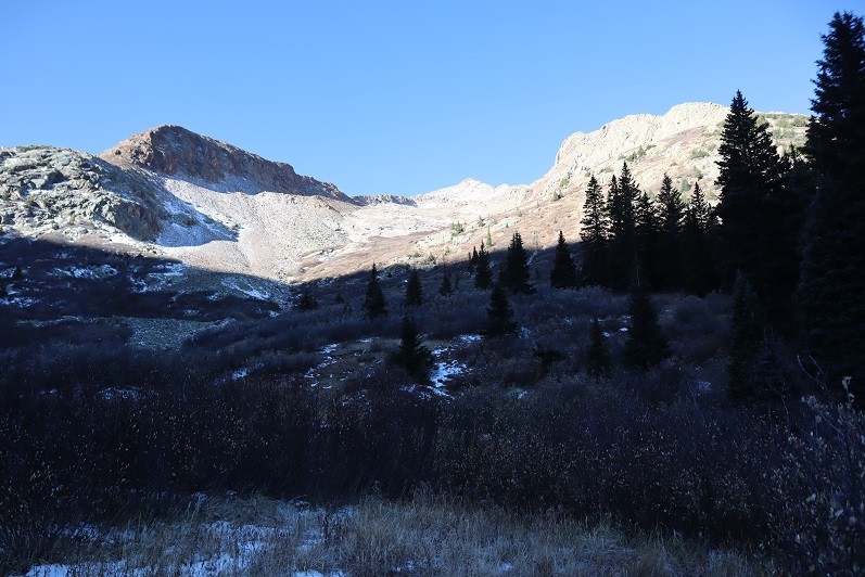
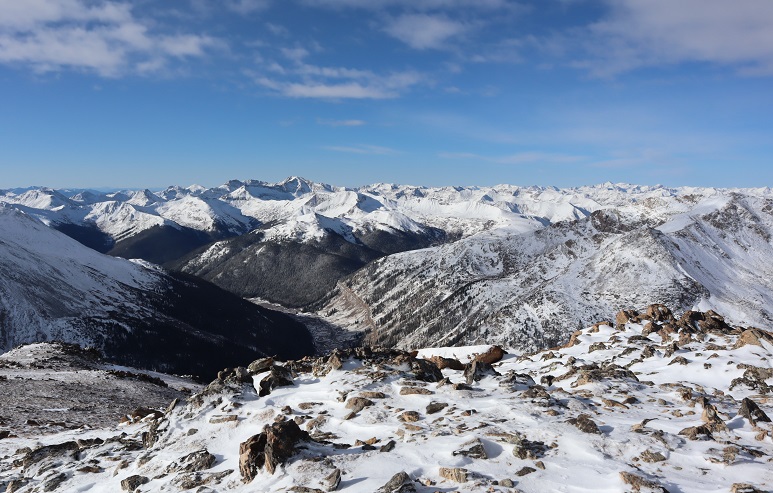
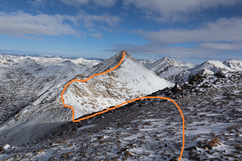
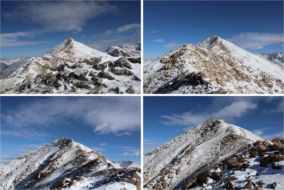
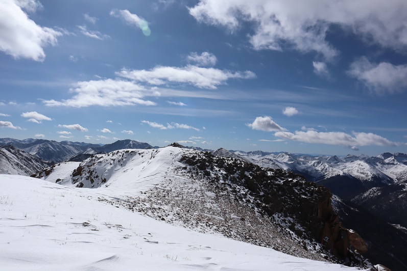
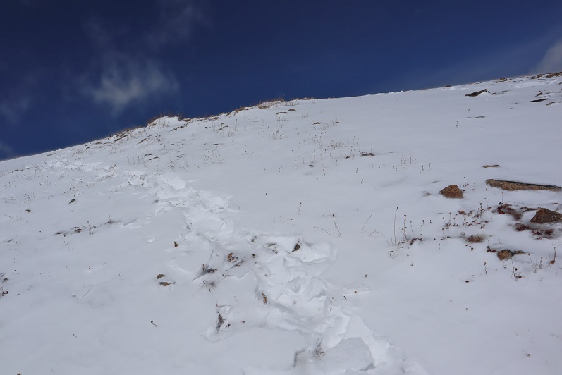
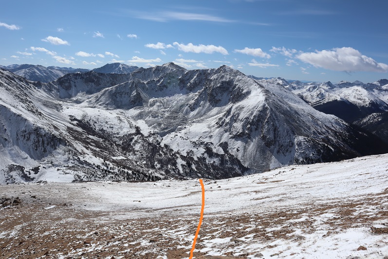
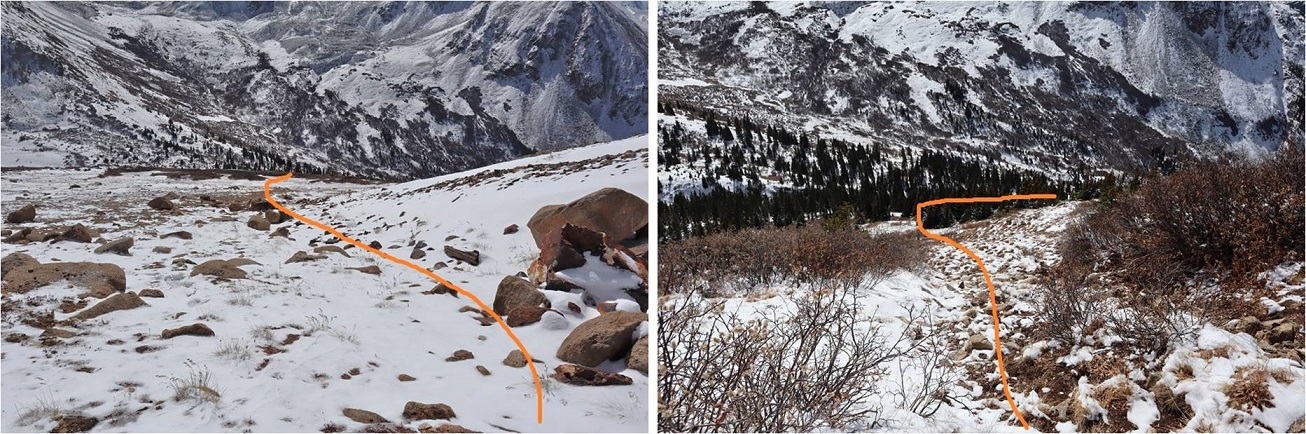
Colorado Mines Peak – 12,493 & Mt Flora – 13,129

1

RT Length: 7.75 miles

Elevation Gain: 2334’

The weather always wins. The day before this hike instead of getting 1-3” of snow we got more like 8” and I’d spent quite a bit of time shoveling my driveway.  This extra snow occurred all over the state and the peak I’d intended to climb now wouldn’t have a reachable trailhead.  So I did the easy thing and just switched my plans to hike a peak with a 2WD trailhead.  Admittingly, I didn’t do much research and just left the house with a topo map and a vague idea of where I was headed.  Luckily this is one of those peaks you can do that with.
2

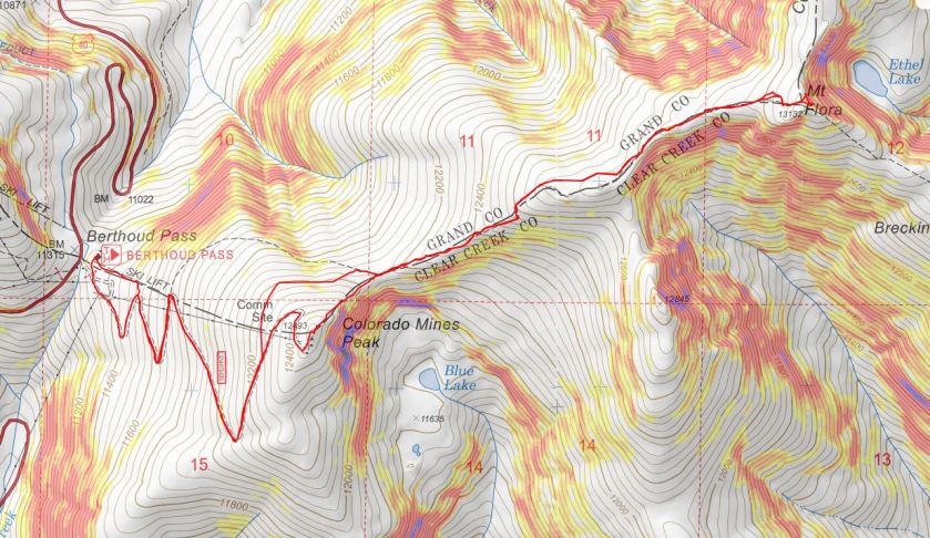
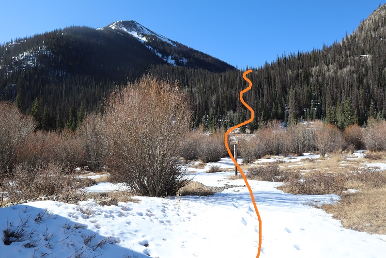
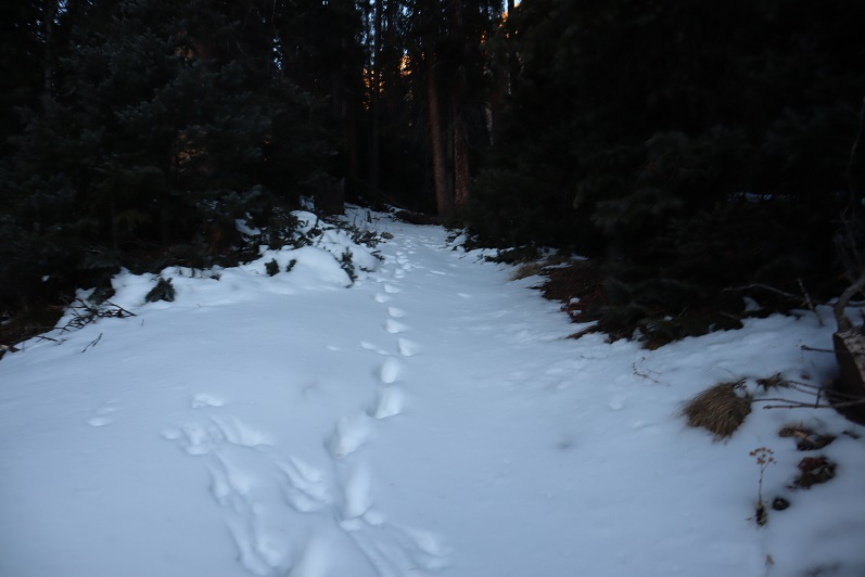
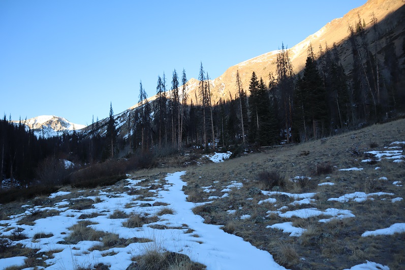
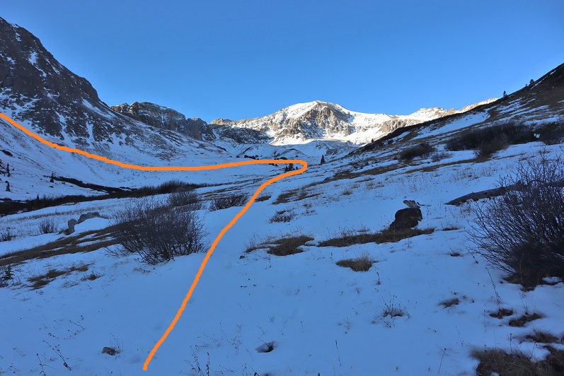
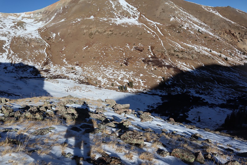
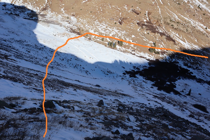
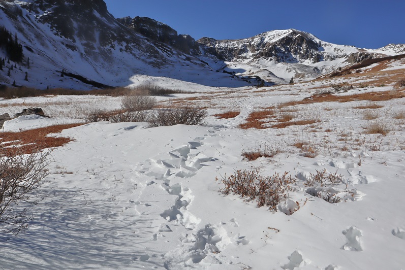
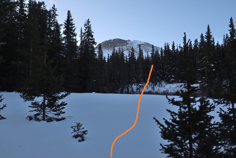
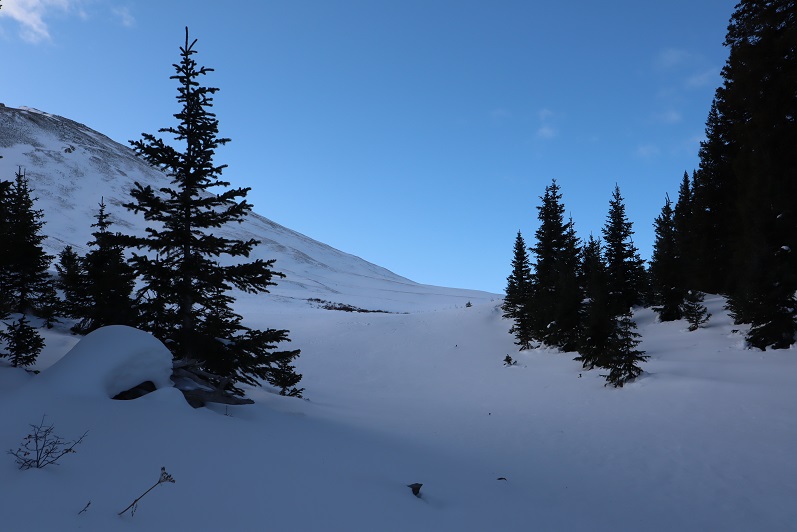
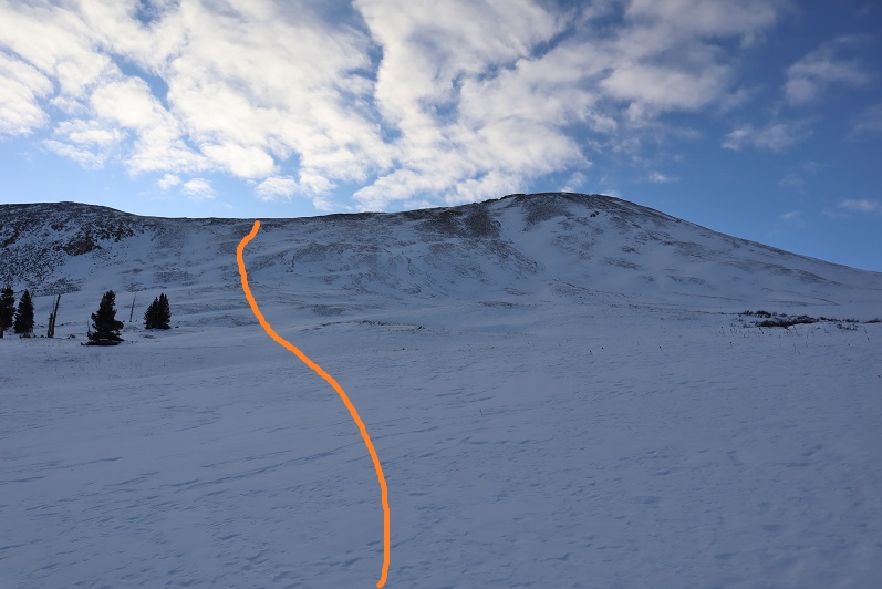
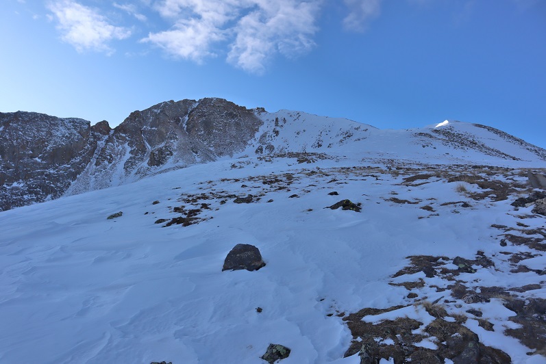
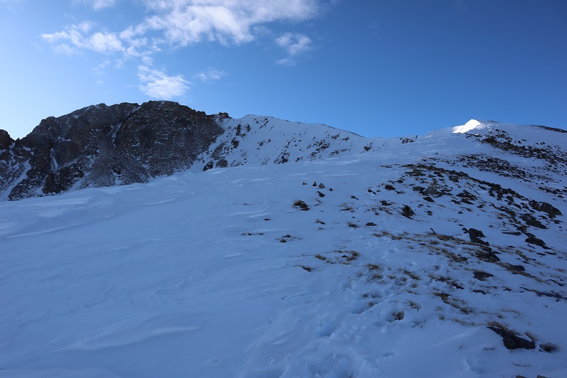
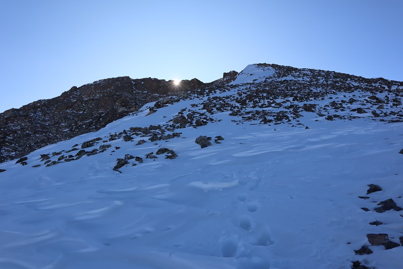
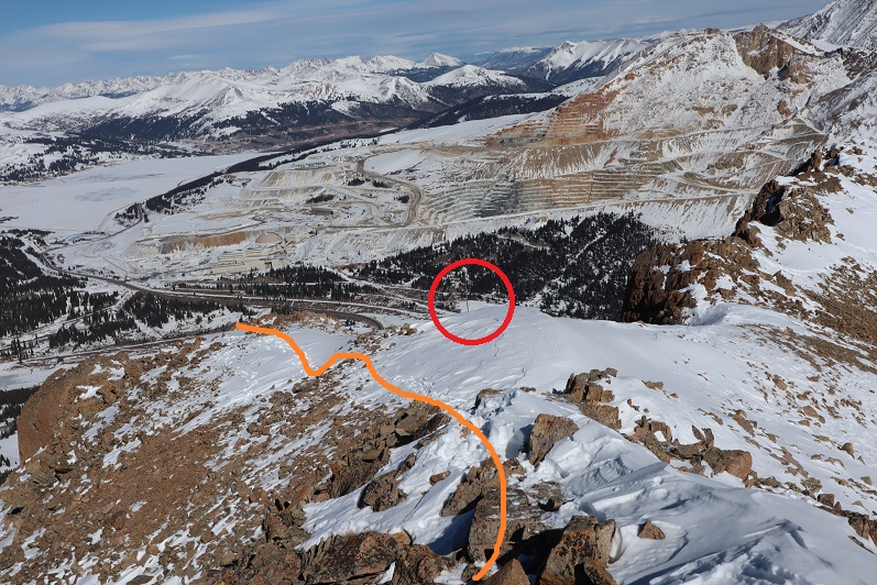
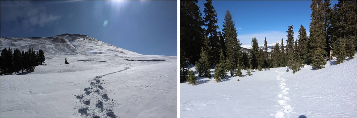
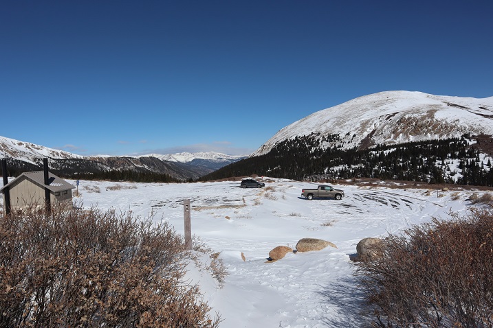
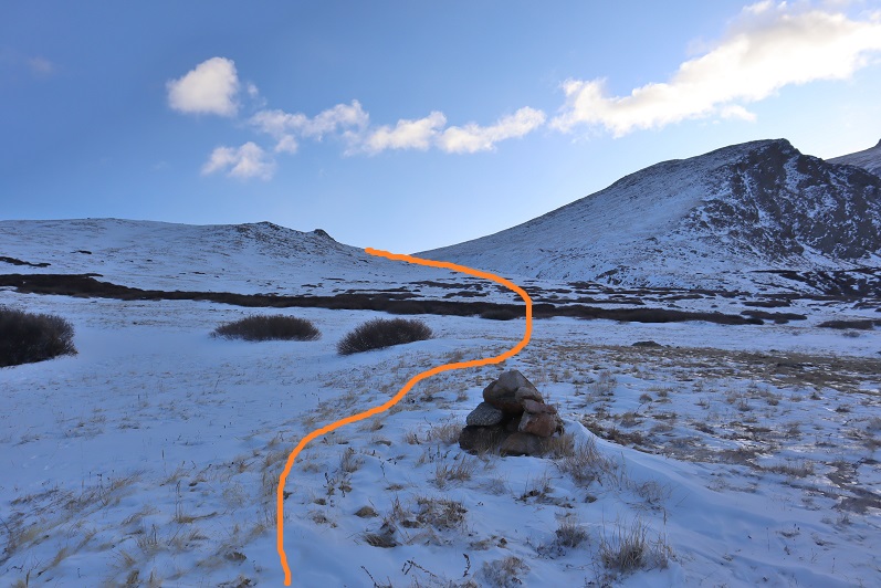
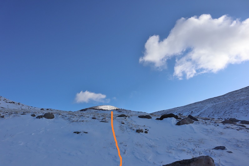
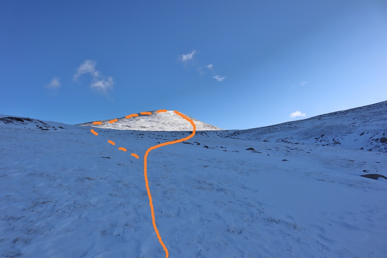
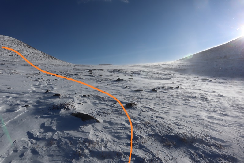
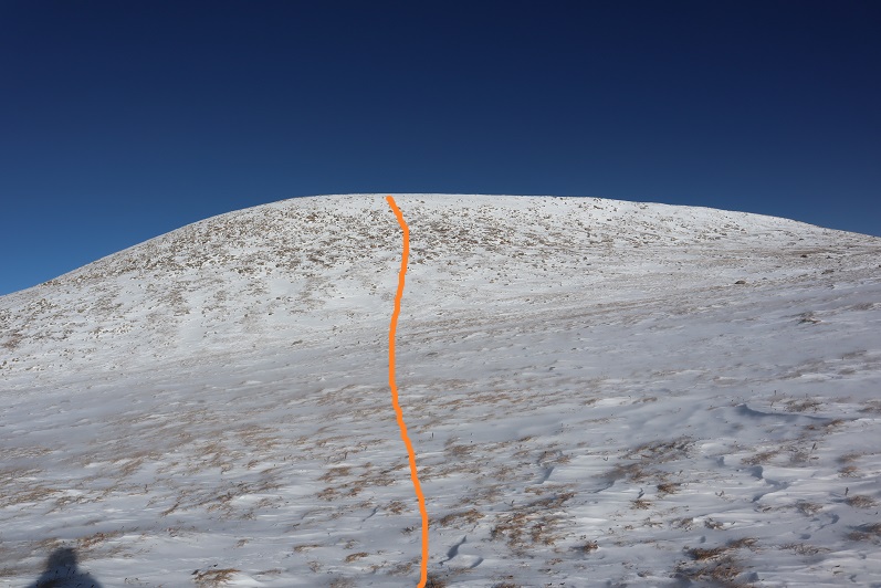
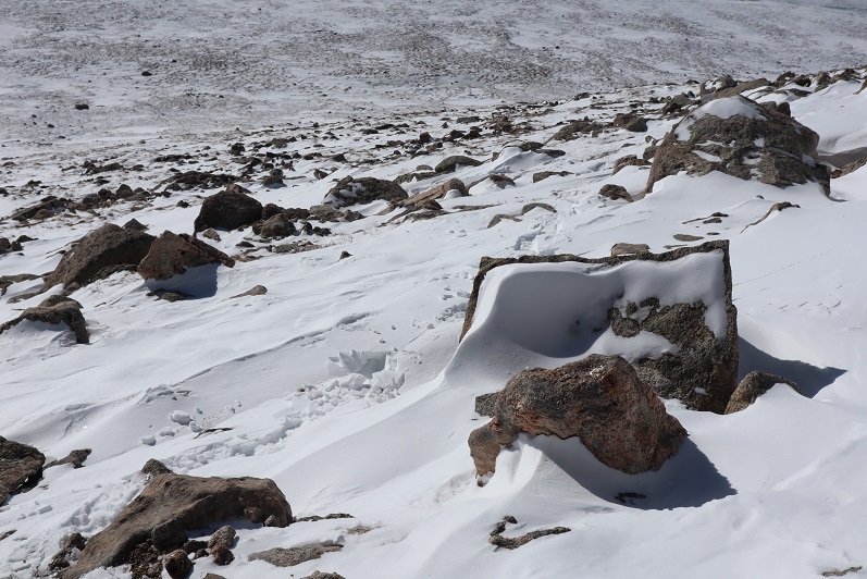
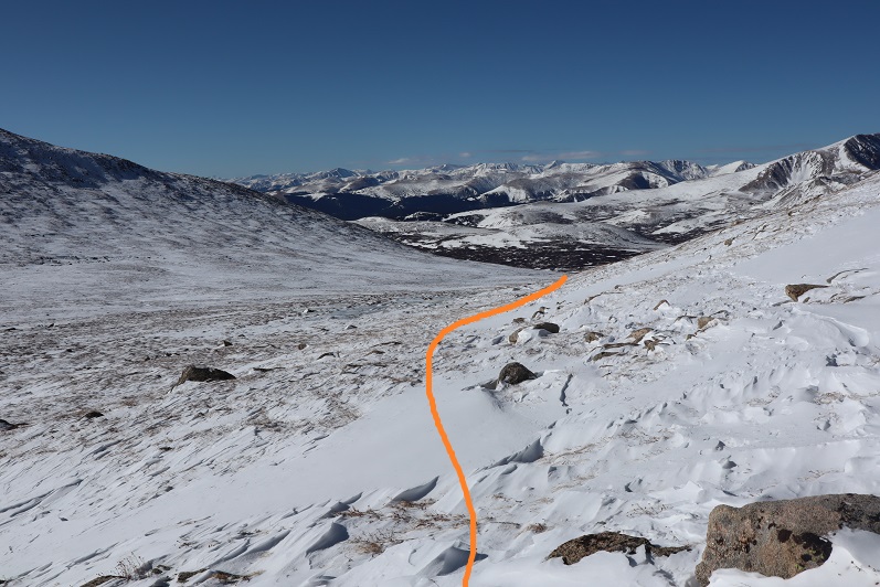
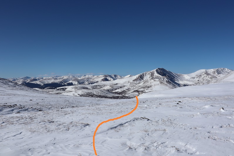
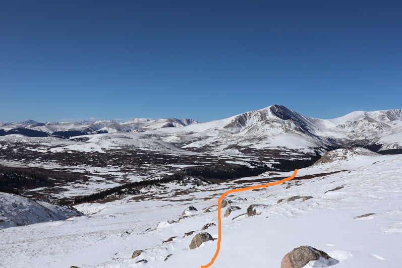
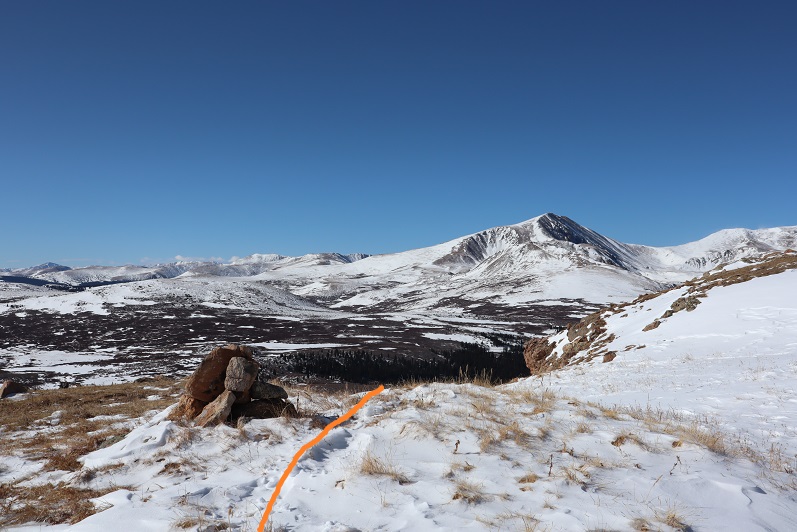
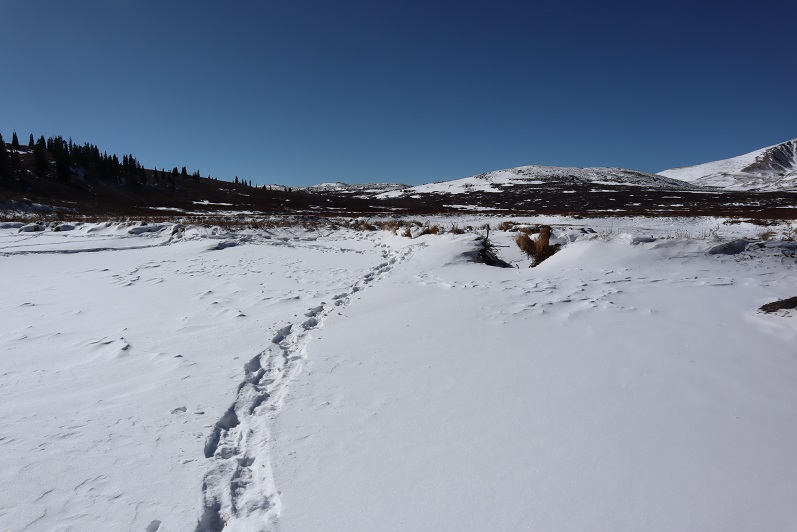
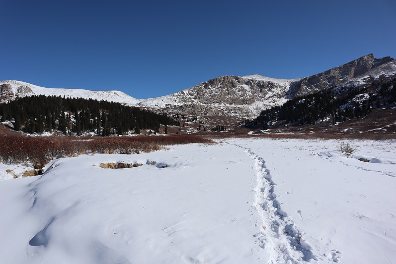
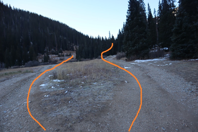
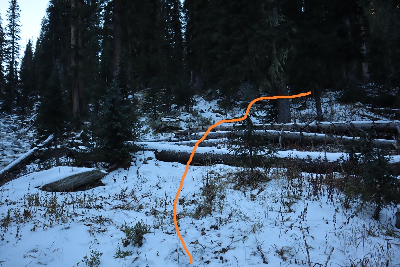
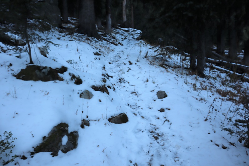
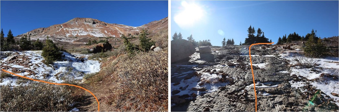
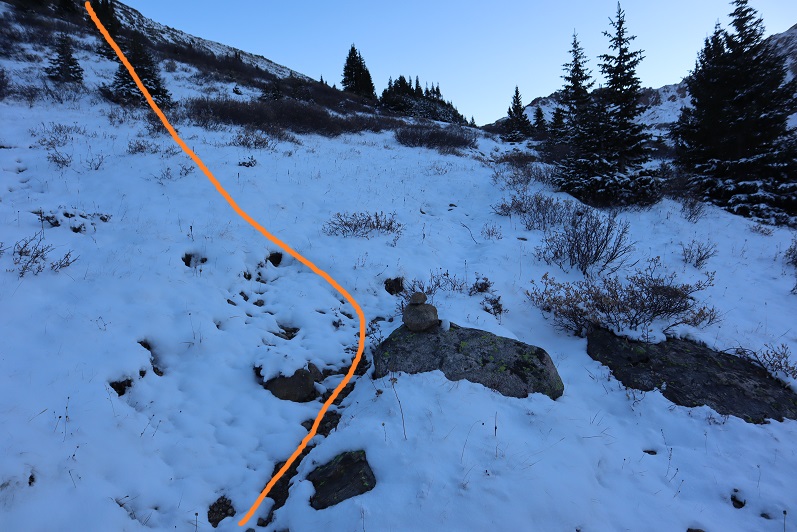
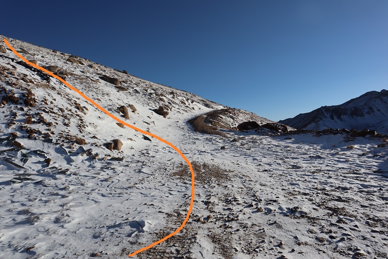
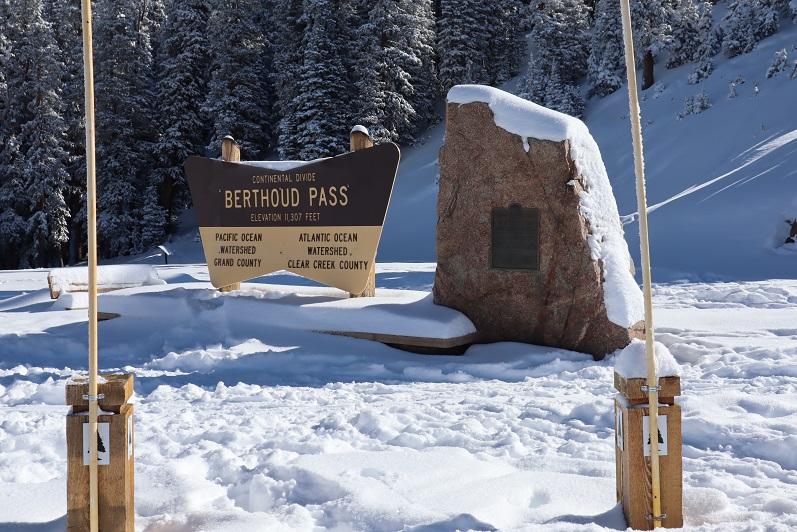
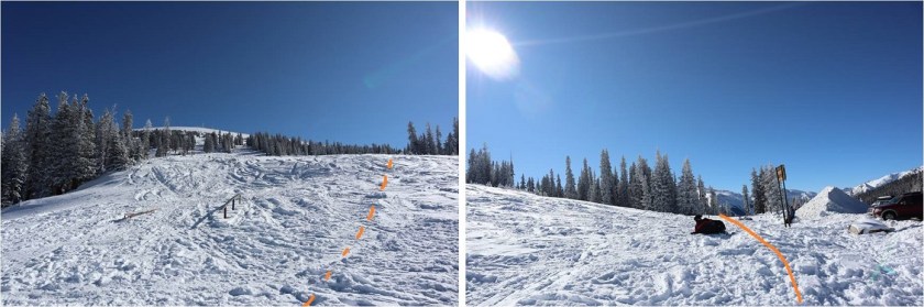
I’d never been to Berthoud Pass before and was surprised at how large the parking lot was. It was 12* when I arrived around 5am and I decided to put on all my gear while sitting in my truck.   Then I waited for a little bit of light before heading out.  It had snowed here quite a bit yesterday as well and there were several feet of fresh, sugary powder on the ground.  Since there were no tracks I wasn’t sure where the road/trail was so I just headed up the mountain (dotted line).  This was more difficult than I‘d expected, as I kept sinking up to my waist in the snow.  Snowshoes weren’t helping.  Eventually I made my way to a road (solid line) and realized where it went all the way down to the parking lot (whoops!) and took it all the way up to Colorado Mines Peak.   The road is located at the south end of the parking lot and without snow should be easy to find.  In the afternoon there were several tracks made to the road by others who’d known what they were doing.
3

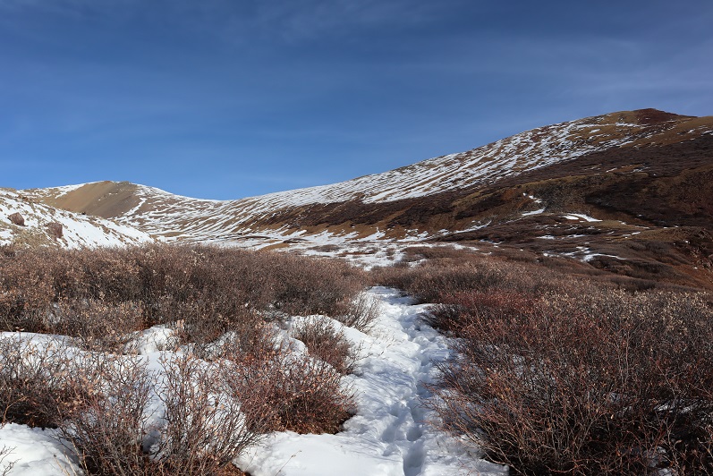
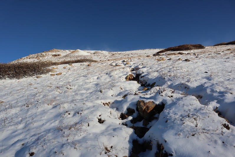
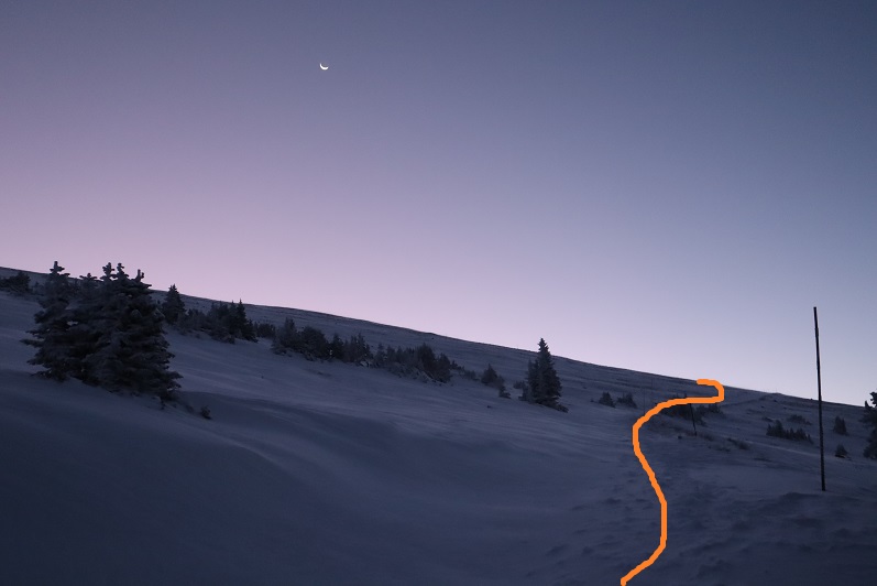
The road was easy to follow because there were poles placed every 50 feet or so along the trail. I was postholing here as well, and my legs were getting quite a workout.
4

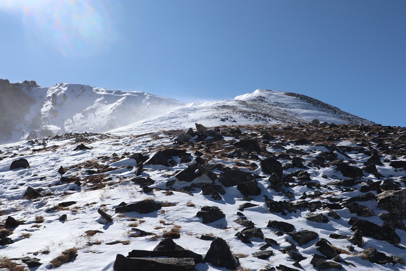
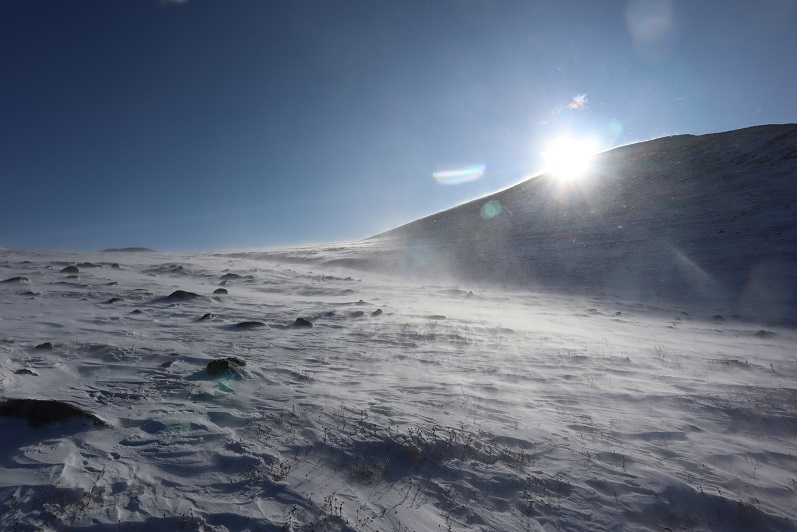
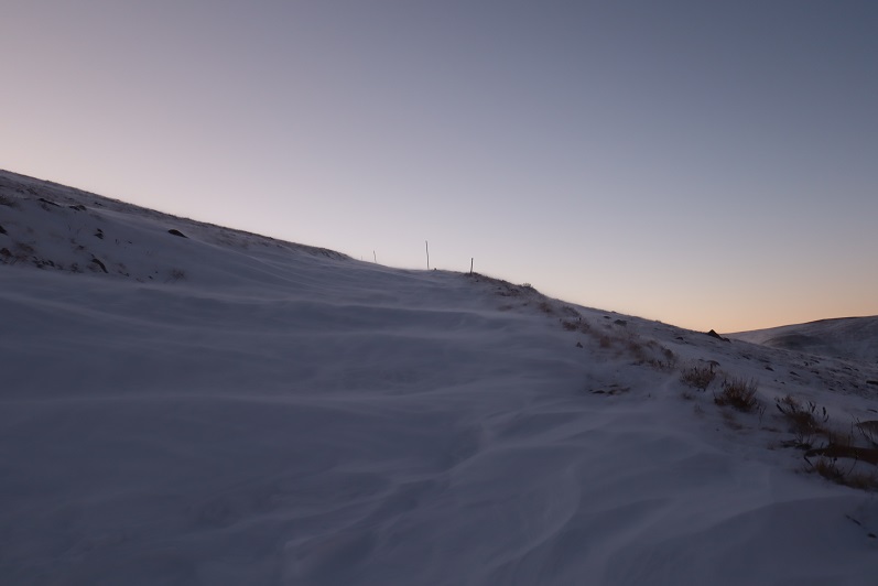
As soon as I was out of the trees the wind picked up and never stopped. It wasn’t more than 20mph, but it just wouldn’t let up.
5

6

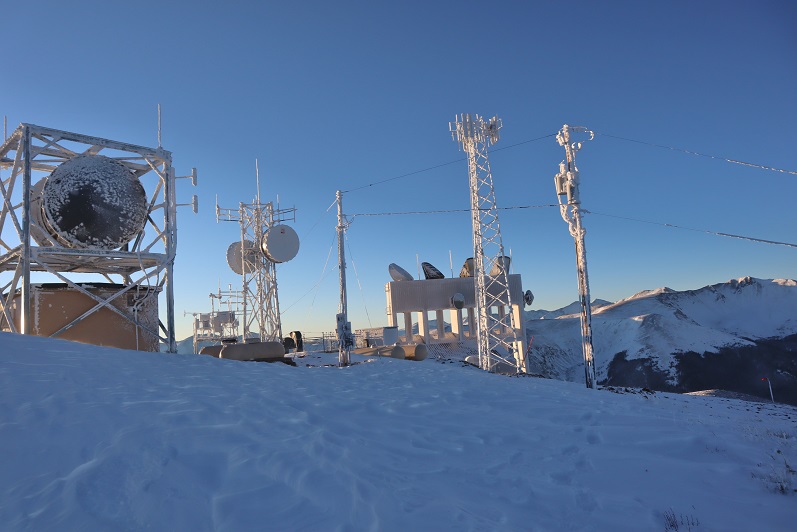
There wasn’t much route finding on this part of the trek, as the road was easy to follow all the way to the top of Colorado Mines Peak. At the top there were radio towers and buildings, etc.

7

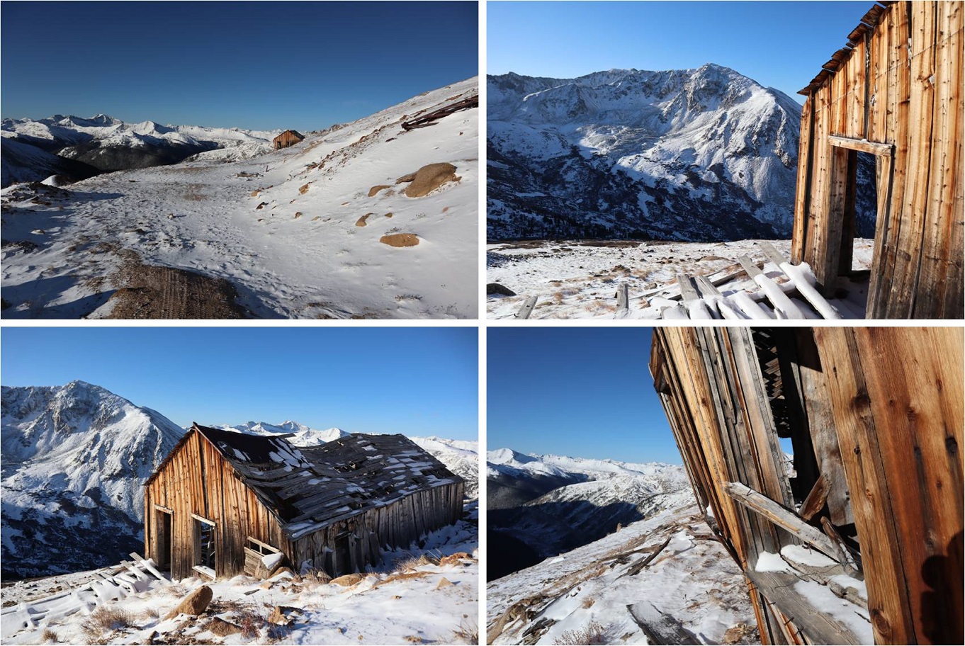
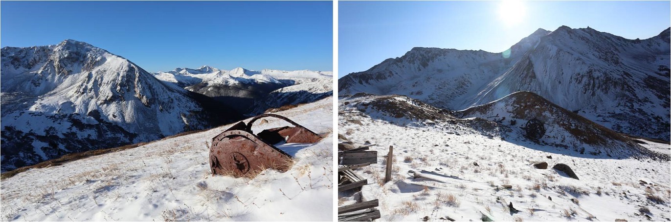
I wasn’t sure where the summit was, so I just walked all around, taking pictures of the various structures.  They’re larger than they look.
8

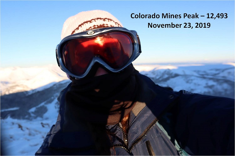
It was windy and cold and I didn’t feel like setting up my camera so I just got a quick selfie
9

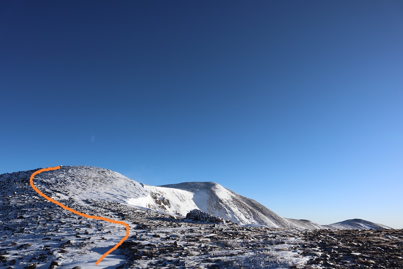
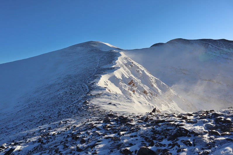
I didn’t see an established trail from the top of Colorado Mines Peak to Mt Flora, but I could see a trail heading up the ridge of Mt Flora so I headed northeast down the side of Colorado Mines Peak towards the saddle

10

The wind was still blowing, forming a cornice along the ridge
11

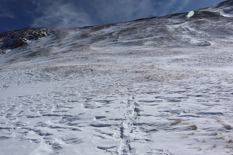
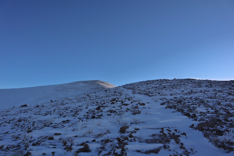
The trail from the saddle up was easy to see. Snowshoes weren’t needed here, but due to the wind and cold temperatures I didn’t want to take off my gloves to take off my snowshoes, so I left them on.
12

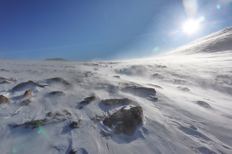
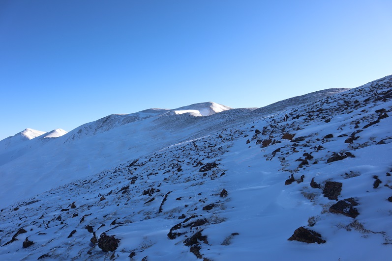
Did I mention the wind? At about this time it was getting really annoying.  I kept thinking every time I went around a corner or over a hill that the wind would die down, but it didn’t seem to matter which side of the mountain I was on: I was getting pounded by the wind (and ice)

13

This was all very frustrating because this was a relatively easy hike, yet I was starting to get a headache from the constant wind
14

15

16

17

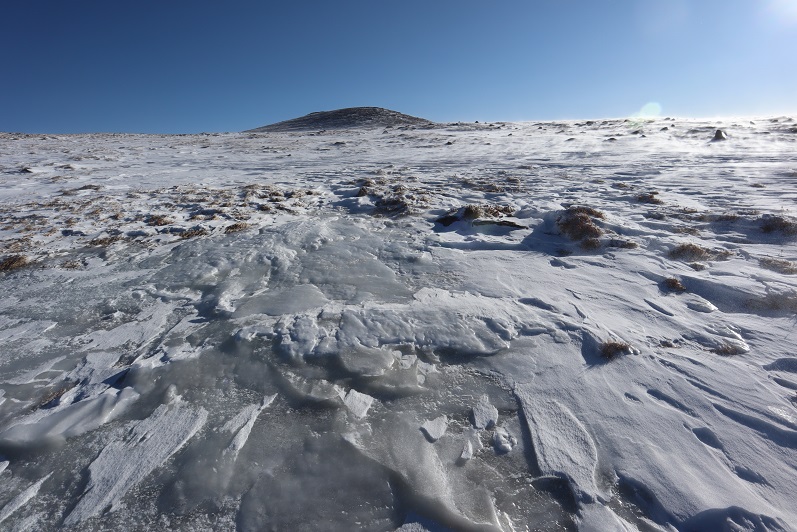
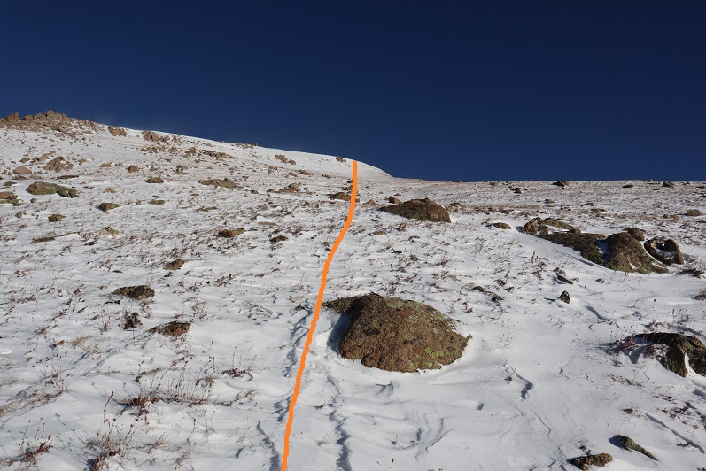
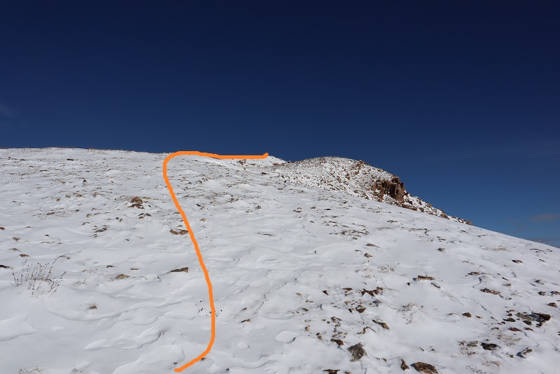
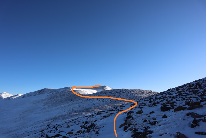
After winding around the mountain for what seemed like a long while I could see the last bit to the summit. Here the sastrugi was beautiful and in most places solid, making it easy to cross

18

19

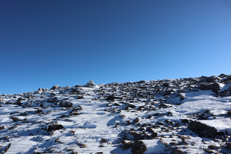
There were several large cairns indicating the path to the summit
20

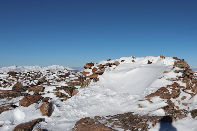
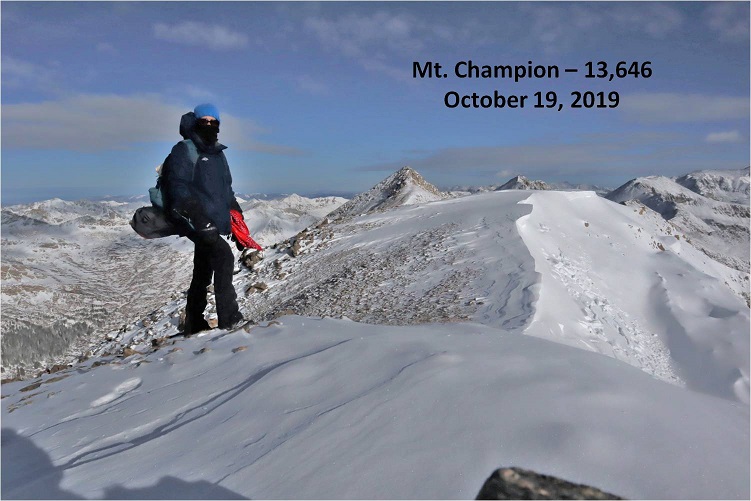
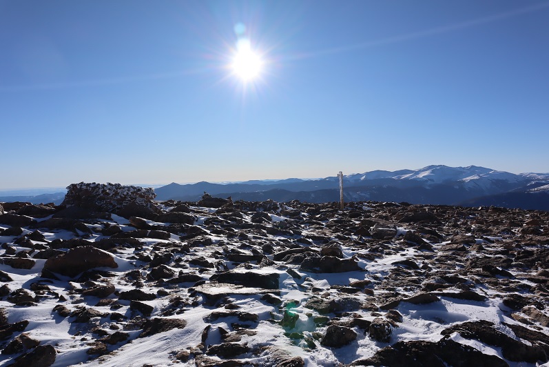
The summit was large and relatively flat, with cairns, signs, and windbreaks full of snow
21

22

I’m not sure what time I summited, but it still felt like early morning.

23

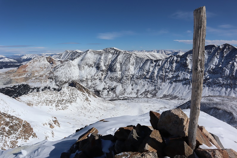
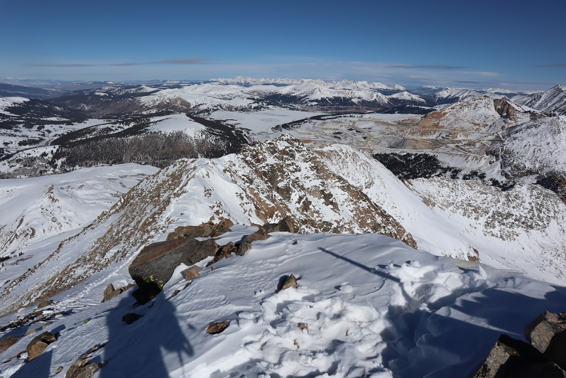
It was still early in the day when I summited and I wasn’t tired at all, yet I was starting to feel nauseous. This wind was really getting to me.  My balaclava had frozen to my face and I was worried I was getting frostnip on my nose (I was).  I walked around the summit and looked at some of the other peaks I’d wanted to hike today

24

This should have been such an easy hike (and it was) but I decided here not to continue on. Yes, I’d wanted to summit a few other peaks today, but the forecast called for increased winds in the afternoon and I’d already had enough.  This wind was making the morning miserable. Looking ahead at an added 6 miles of wind sounded like torture, and that’s not why I hike. I told myself I’d come back and do this hike again when the conditions were better (less wind). So I turned and headed back towards Colorado Mines Peak

25

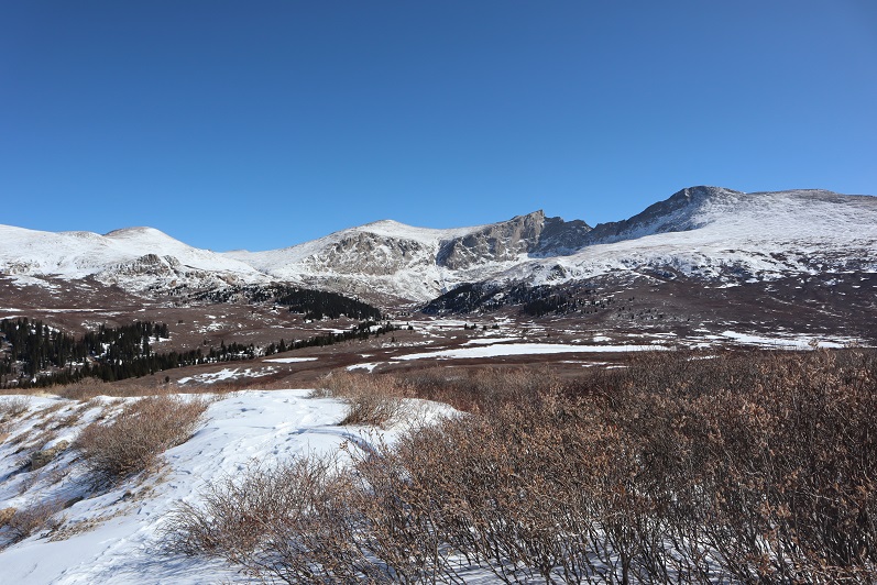
As the wind increased and I became ever more nauseous I celebrated my decision to head back and enjoyed the views

26

Instead of going back up and over Colorado Mines Peak I decided to follow the trail that went around the mountain. Until the trail was obscured by snow and I couldn’t follow it anymore.  Then I just made my way around the mountain until I found the road again.

27

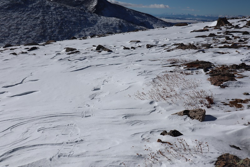
The snow here was thicker and I was glad I’d kept on my snowshoes

28

29

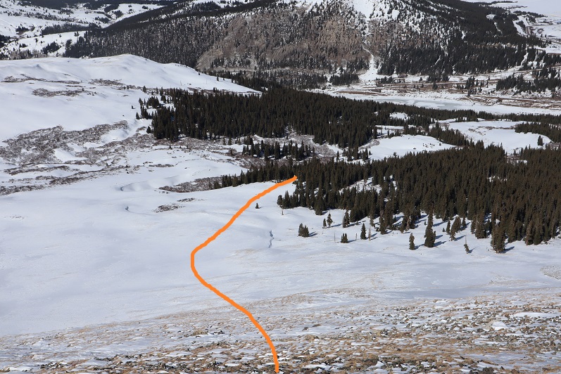
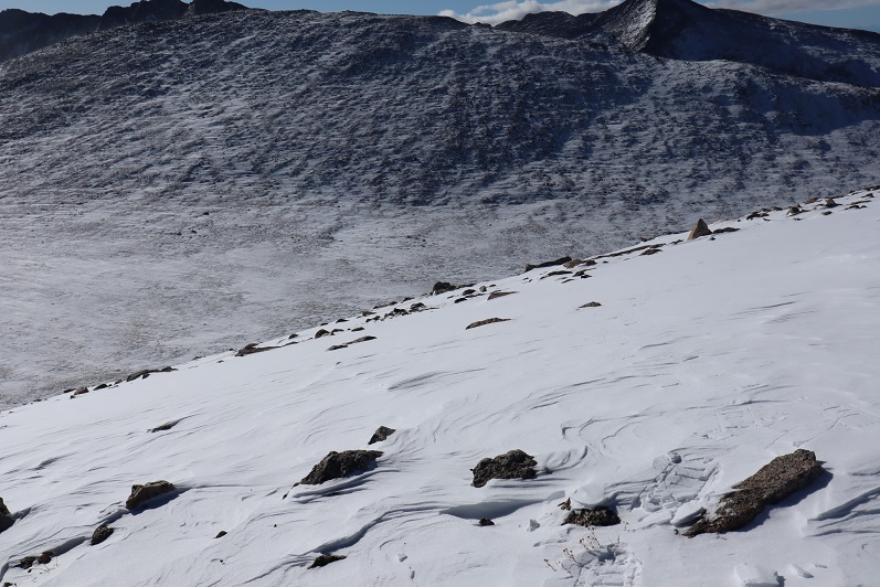
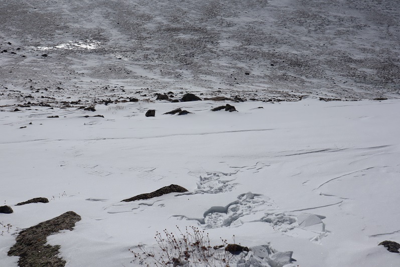
Here’s a look back at my tracks to the road

30

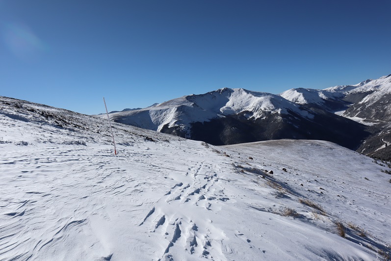
Once on the road again I noticed all of the tracks I’d made this morning were gone
31

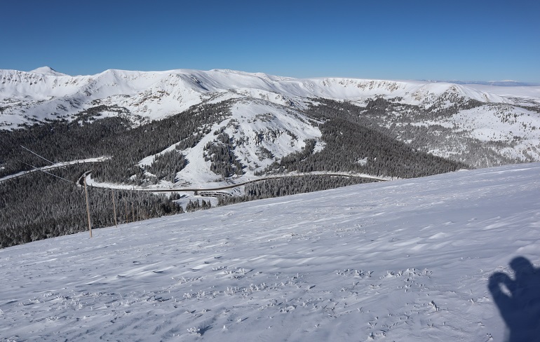
Here the wind let up and I took a minute to take some ibuprofen. Almost immediately I began to feel better.  I could see the parking lot was full of vehicles and if I had skis I’d just slide my way down there.  The snow was all powder and the skiers seemed to be enjoying themselves immensely.
32

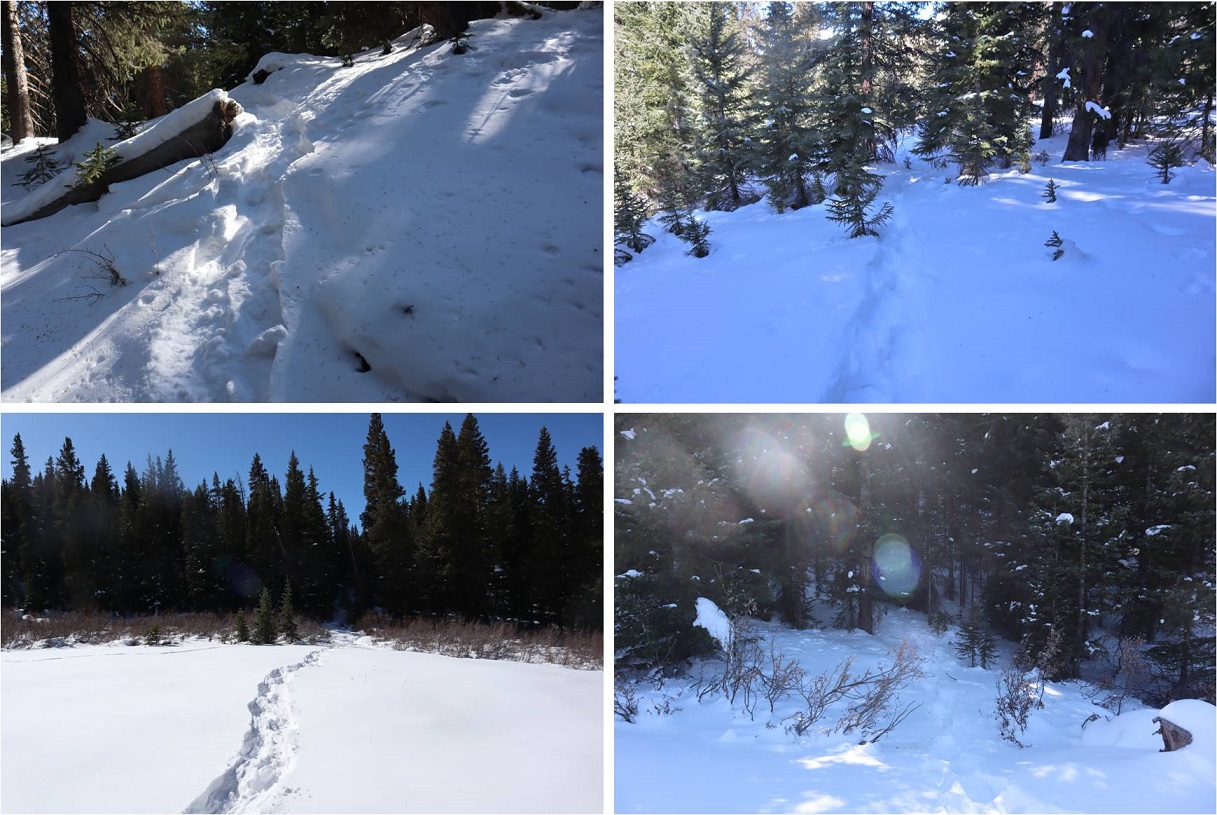
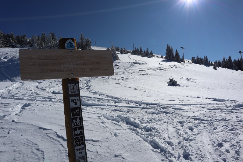
About halfway down the mountain I came across plenty of new tracks and two trenches on either side of the road. Needless to say, hiking down with a trench is a lot easier than trenching on the way up.  I was thankful for everyone who came after me and made a solid trench.
33

34

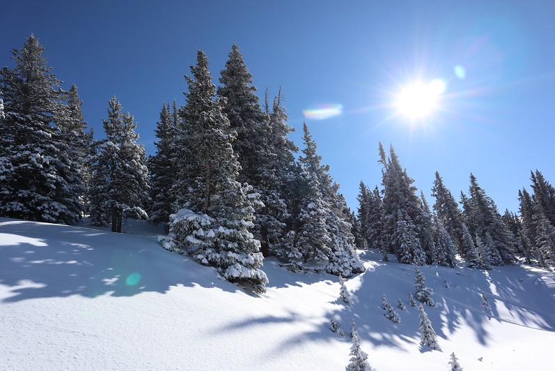
I was also thankful to be out of the wind. The trees were lined with fresh snow and made for a beautiful trek out.
35

I made it back to my truck around 11am and was surprised to find people tailgating in the parking lot. I guess that’s a skiing thing?  The parking lot was buzzing with activity, too many vehicles, people and pets, and I had to be careful not to run anyone over in the parking lot on my way out.  I looked at my nose in the mirror.  Yep, I’d definitely gotten a little bit of frostnip.  I wish I could find a way to keep my balaclava from freezing?  Hmmmm.  Maybe I just need to try a different brand.

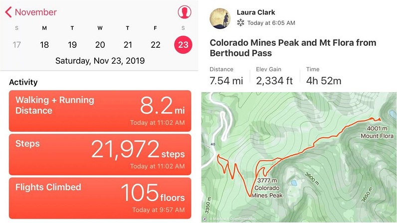
I started this hike around 6am and finished just before 11am, making this a 7.75 mile hike with 2334’ in elevation gain in 5 hours. I was a little disappointed I hadn’t done more today, but felt trenching in powder had given me a good workout just the same.  Any day above treeline is a win.  I’ll be back to complete this hike soon.
36

37

Electric Pass Peak 13,632 & Leahy Peak 13,322

1

RT Length: 14 miles

Elevation Gain: 4406’

My flight got in late. I’d been in California all week at a tech conference and decided to leave Thursday evening to allow me to hike on Friday morning.  This seemed like a great idea but the flight was delayed and I didn’t end up making it to Denver until 1:30am.  I jumped in my truck and drove to the Cathedral Lake trailhead, a little upset I was behind schedule but not too worried since it was supposed to be a nice day and I wasn’t on any time schedule.

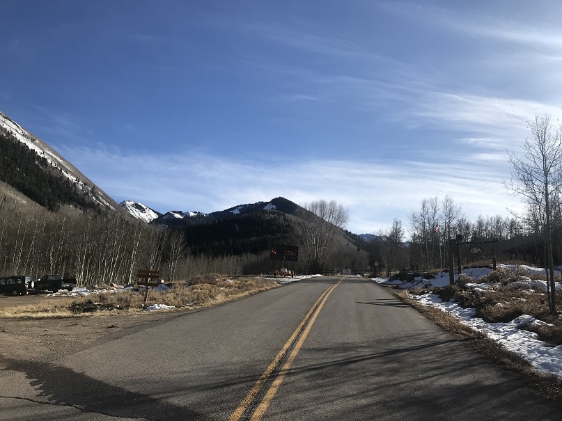
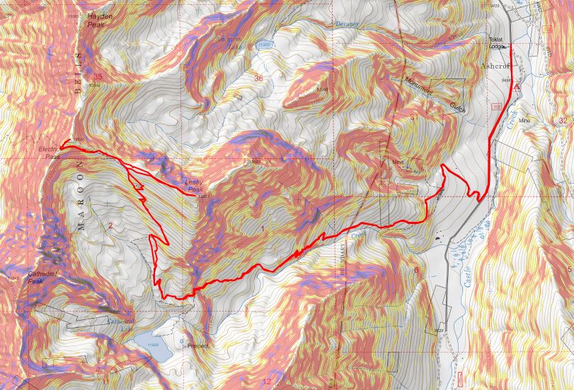
I’d heard they were closing the road to Maroon Bells today and figured since they were in the same area they’d be closing the road to the Cathedral Lake trailhead soon as well. When I got to Ashcroft I saw the gate was still open but there was a blinking sign indicating the road was going to close on November 15 (today).  I was excited  it was still open until I noticed it said they were closing it at 7am. Drat!  I’d arrived before the gate closure but only by about an hour and a half.  Oh well, this only added 3 miles total to my hike.  Also, props to them for putting up signs warning of the upcoming closure.

2

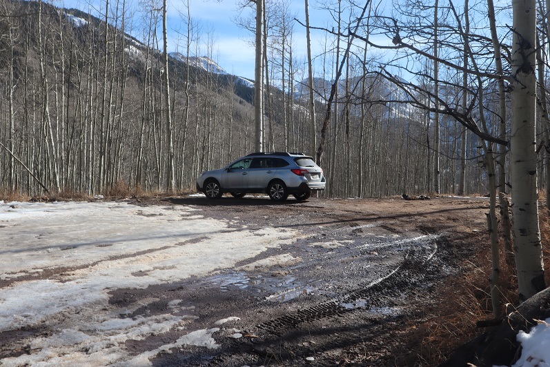
I parked my truck in the parking lot at Ashcroft, gathered my gear, and was on the trail at 5:45am.

3

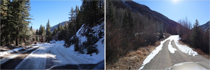
I followed the road for a mile and then turned right (west) onto a dirt road.

4

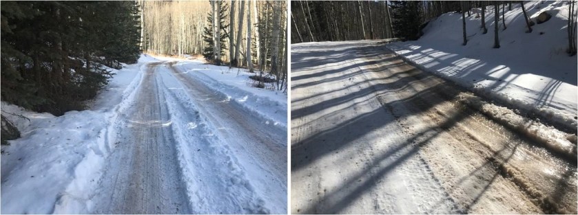
Here the road became icy. I followed it for another three quarters of a mile to the trailhead

5

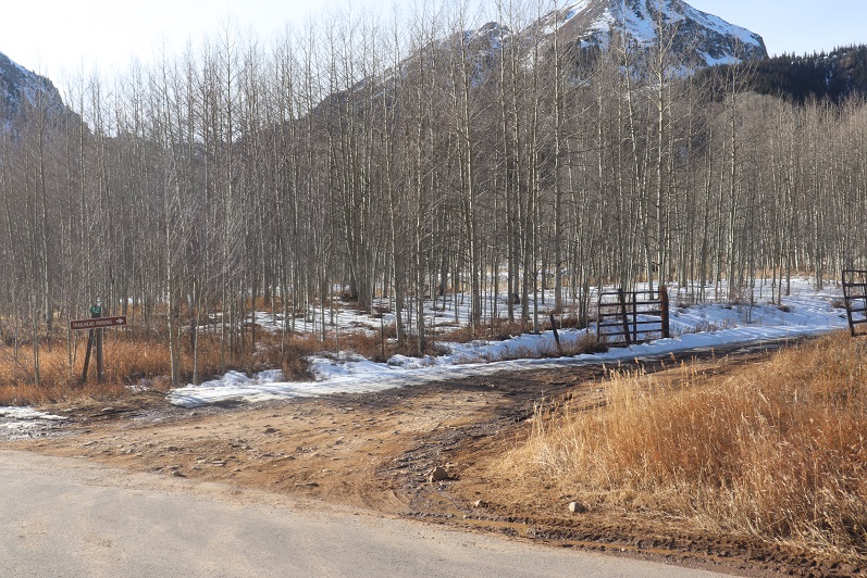
I saw several ropes put across roads that weren’t open, which I thought was a great idea! I was here last May when there were several feet of snow on the ground and following the correct road had been a challenge when everything was white.  These ropes would have come in handy back then

6

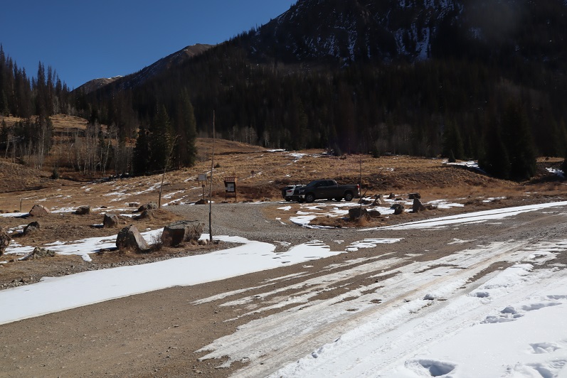
The dirt road led me to the Cathedral Lake trailhead.

7

The trail up to the lake is a well defined, class 1 trail. The trail had seen snow recently but was well packed down. In the morning I didn’t need microspikes, but they were very helpful in the afternoon.
8

The avalanche area has been well cleared

9

Just after ascending this hill (after about 4 miles from the start of the trail) the trail splits in two, one going to Cathedral Lake, the other to Electric Pass.

10

I went right towards Electric Pass

11

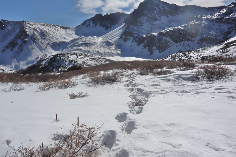
Here the snow picked up quite a bit and the trail became less traveled.

12

Most of the snow seemed to be directly on the trail. Unfortunately, it looked like one other person had been here since the snow fell and apparently they hadn’t brought snowshoes because they’d postholed with every step.  It made my trek that much more difficult.

13

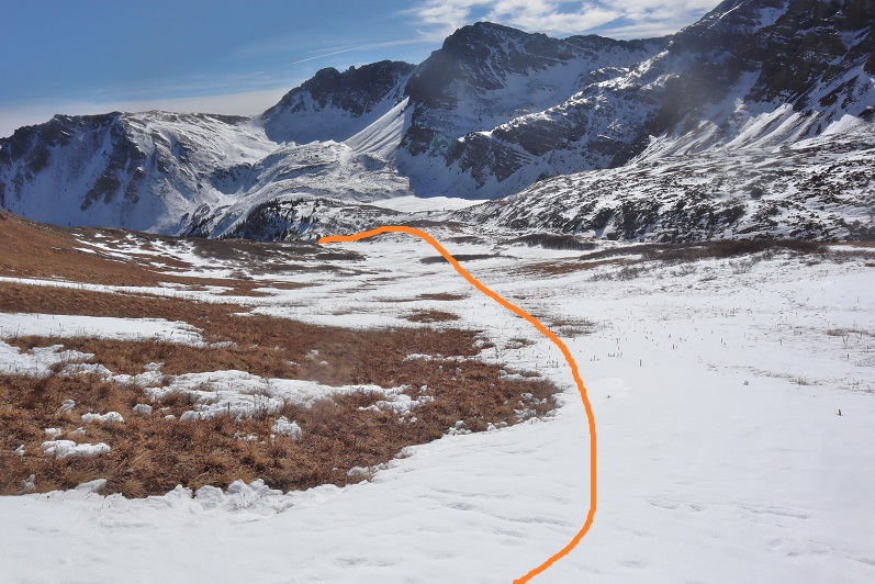
The trail led me to a basin and from here snow obscured the rest of the route, making this a class 2 hike. Also, here the tracks stopped.  It seemed the previous hiker had given up their hike at the basin (probably because they lacked snowshoes).  With no visible trail I’d originally planned to hike to the end of the basin and gain the ridge, but as I was aiming for the ridge I came across the trail again and decided to follow it instead.  Here’s the route I took

14

Some parts of the trail were completely dry

15

But most of the trail was obscured by snow. I’d lose it and then find it again.  I decided this was a good time to put on my microspikes.

16

I just kept aiming for the saddle

17

Once there I saw a cairn and followed the ridge west

18

Instead of following the ridge to the summit I followed the trail, which went around to the left

19

After rounding the corner (still on the trail) I could see the route to Electric Pass

20

21

This area was full of loose talus. It looked like some people had attempted to summit this way in the past (there were cairns pointing upwards) but this seemed foolishly difficult and unnecessary.

22

The last bit was steep and the snow here was soft. I carefully made solid tracks in the snow.

23

There was a cornice to navigate before gaining the ridge. Once on the ridge I turned right (northeast) and followed the trail to the summit

24

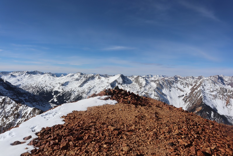
The summit had a lot of red rocks and a large cairn

25

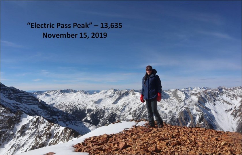
I summited “Electric Pass Peak” at 10:15am

26

“Electric Pass Peak”

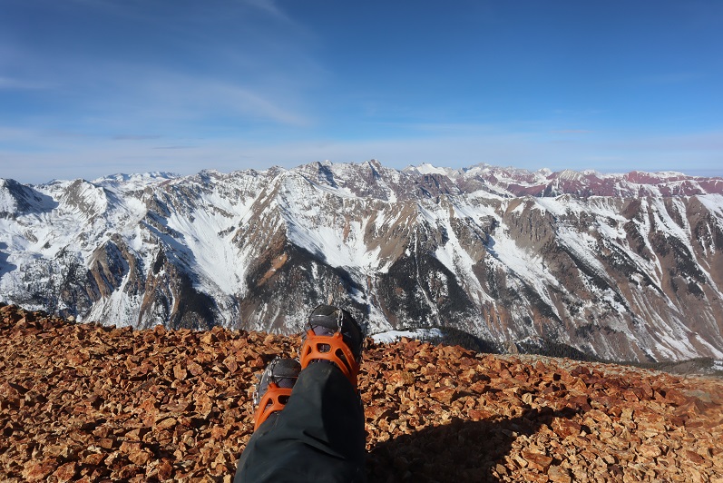
The views were absolutely amazing!

27

28

29

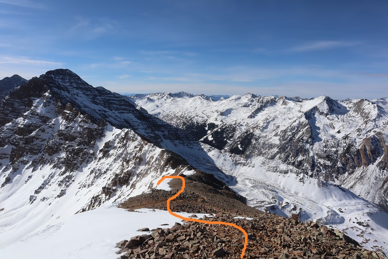
From here I had a good view of the route to Leahy Peak

30

I turned and went back the same way I’d summited

31

It hadn’t been very long since I was there, but the section of snow just under the ridge had now become slick. This was the crux of the route for the day, going back over the cornice and snow that took me back to the talus

32

33

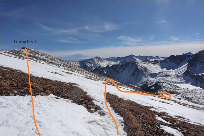
Here’s the route I took from “Electric Pass Peak” to Leahy, doing my best to stick to the ridge and avoid the snow

34

Side note: look at the difference in snow levels on opposite sides of the mountain!

35

Here’s the last bit up to Leahy Peak. This really was an easy ridge walk, and if you’re even considering summiting Leahy I’d recommend doing so.

36

I summited Leahy Peak at 11:15am

37

Leahy Peak

Time to head back. I followed the ridge back as best I could until I came across the trail again

38

Here’s my route from Leahy Peak back down to the basin

39

40

On my way back I put on my snowshoes and tried to stomp down the postholes along the trail

41

It was really neat seeing all the animal tracks on the way down that hadn’t been there on my way up

42

I was almost back at the trailhead when I came across three hikers. They were surprised to see me because they hadn’t seen any other vehicles at the trailhead.  They also didn’t have proper gear to be out hiking, especially on all this ice.  They seemed upset with me when they saw I was wearing microspikes because they hadn’t brought any.

43

I was surprised they’d parked at the trailhead.
Me: “Weren’t they supposed to close the gate this morning?”

Them: “Yes, they did.  We just used our 4WD vehicle to drive around it”

I didn’t agree with their tactics and gave them a blank look as I let my eyes go wide. Don’t be like them.

I made it back to the trailhead and indeed they’d parked their car in the lot, going around the closed gate to get there.

44

I followed the dirt road back to the paved road

45

And followed the paved road back to Ashcroft (and the closed gate)

46

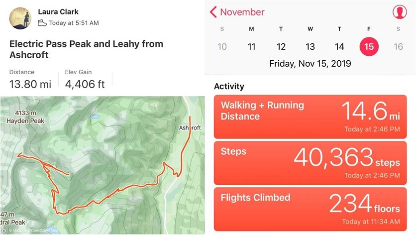
I made it back to Ashcroft at 2:15pm, making this a 14 mile hike with 4406’ of elevation gain in 8 hours, 30 minutes

47

48

I was a bit tired, seeing as how I hadn’t slept in 2 days, but considered today’s outing a win!

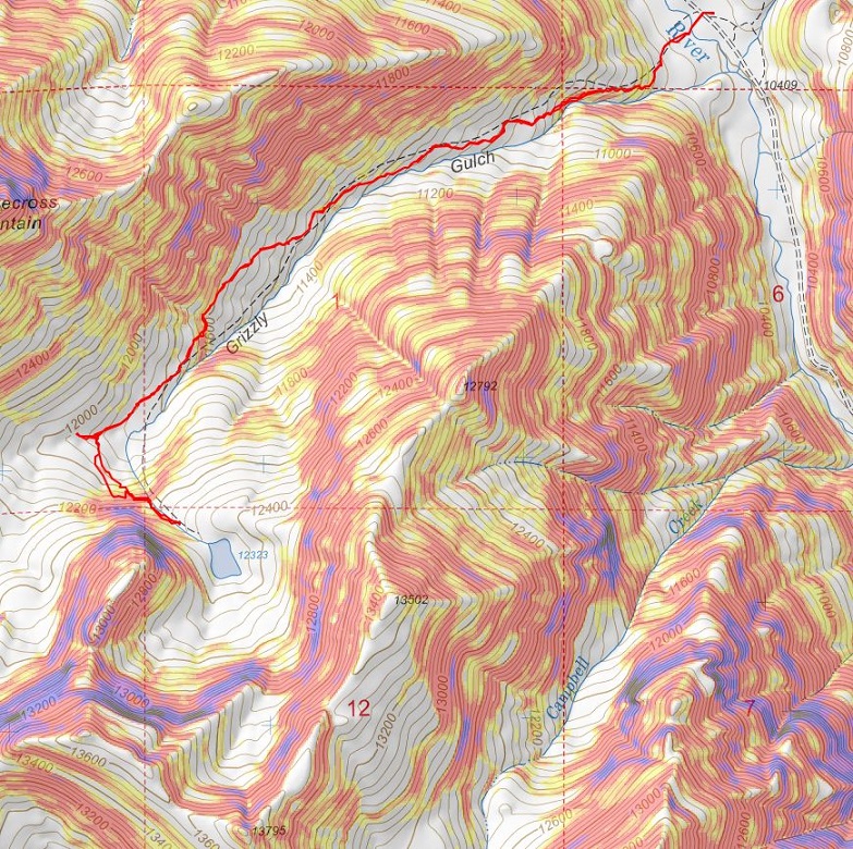
13,795 (attempt)

1

RT Length: 5 miles

Elevation Gain: 1948’

Note:  My successful summit of this peak can be found here.

I never should have attempted this hike today, but the weather was clear and my beta told me the mountains in this area were snow free. There are so many 13ers in the San Juans I wanted to knock another one out before the snow sets in again.  As I was leaving the house around midnight my daughter asked me if I’d take her to the school musical that night at 7pm.  I did some mental math and figured I’d have plenty of time to climb this 7.5 mile peak and be back in time to take her to see the musical.

I drove in the dark to the Grizzly Gulch trailhead, a little surprised to see so much ice on the 2WD dirt road in

2

There was one other vehicle in the lot when I arrived. I’m guessing they were headed to Redcloud/Sunshine today.  Last time I was here I’d had a porcupine visit me in the middle of the night, making noise in the gravel below my truck as he tried to get up inside.

3

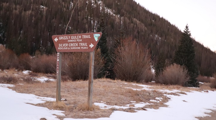
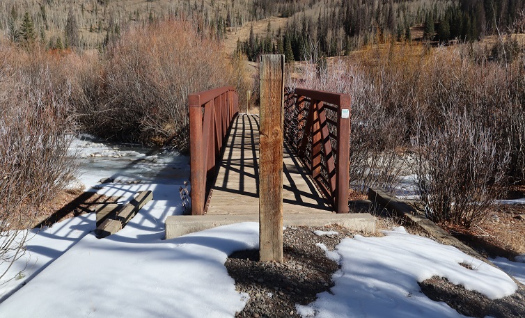
It was getting light as I put on my gear. From the parking lot it didn’t look like I’d need microspikes or snowshoes, but I decided to bring them anyway.  I was on the trail at 6:30am.  The trail starts at the west end of the parking lot and then crosses a bridge and heads southwest on a well defined trail.

4

5

6

Well, it would have been a well defined trail if there hadn’t been so much snow! Not enough in the beginning to put on spikes/snowshoes, but way more than I’d anticipated.

7

It was immediately obvious no one had been on this trail since the last snow, which had to have been over a week ago. What was curious was how soft and sugary the snow was after sitting for so long.  There were also tons of animal tracks visible in the snow, mostly fox and moose, and they’d been here recently by the signs of urine and scat on top of the snow.

8

Last time I was here I’d seen a moose, so even though I never ended up seeing one I was extra vigilant today. I went in and out of the trees several times and noticed much less snow in areas without trees.  This gave me hope for the rest of the trail above treeline.   Of course, most of the snow in these areas was only on the trail itself.

9

When I made it to treeline I was disappointed to find quite a bit of snow. It wasn’t the snow that bothered me, it was the type of snow:  all sugary with very few areas that were consolidated.  The drifts were the worst! 4+ feet of sugary snow that didn’t respond to snowshoes made for difficult traversing.   I put on my microspikes.  Here’s the path I took to the middle of the basin

10

There was a stream that needed crossing. It was partially covered in snow/ice and I couldn’t tell how wide or deep it was.  It took me several minutes to find a good area to cross where I wasn’t worried about falling in.

11

After crossing the creek I located a faint trail on the side of the mountain and worked my way towards it. The trail was only visible because it was covered in snow.  The walk to the trail took a long time because I was postholing with every step.

12

Climbing up the hill should have been easy, but the snow was still sugary and the talus below unstable. Rocks rolled with every step I took, so I took them slowly

13

There were several large areas of snow directly on the trail that were not passable. I tried making a bridge in the snow but it wasn’t consolidated enough to hold my weight.  Stomping it down did not create a trail so I had to descend on the talus to find a stable route.

14

Oh, and I met a few ptarmigans

15

Here’s another view of the ascent

16

All of this careful footwork meant I was going slowly. I was really excited when I made it to the top of the headwall, as I knew I’d have a view of the rest of the route to the ridge and I was hoping to find it snow free.

17

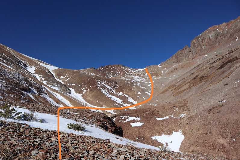
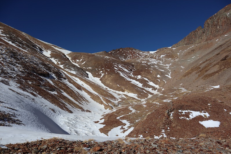
It wasn’t.  Here’s the route up to the ridge

18

I continued for about 20 yards, trudging through sugary snow that went up to my thighs and mentally did the math. This hike had taken me about twice as long as it should have to this point, mainly due to the condition of the snow.  I had 1.5 hours left before my turnaround time and looking ahead of me the snow in the gully areas looked similar to the snow I’d already had to avoid to get this far.  Unfortunately, there was no way to avoid the snow ahead of me.  There was a small lake out there I couldn’t see and I was worried I’d break through the snow and ice and fall into the lake.  I grudgingly made the decision to turn around and head back home.  That would give me time to make dinner and shower before the musical tonight.  I was super bummed because it was a 6 hour drive out here and the day felt wasted, but I also knew I’d had bad beta and couldn’t have anticipated these conditions.  The snow needs to consolidate before it’s safe to hike here.  Here’s the path I took back:

19

Postholing the entire way…

20

In this picture you can see moose tracks and the trail I needed to make my way back to

21

I followed the trail where possible

22

Aiming for the creek and the trail out

23

Here’s looking back at my tracks

24

Getting through the willows is the hardest part, especially in sugary snow

25

26

Isn’t it fun when the only snow is directly on the trail?

27

The creek was almost frozen

28

I made it back to the trailhead at 10:30am, surprised to see another vehicle in the lot. This hike ended up being a little over 5 miles with 1948’ of elevation gain, done in 4 hours.  I’d been hiking at close to 1 mile per hour this morning, which is considerably slow considering I average 2+mph normally.  The good news is I made it back home in plenty of time for the musical.  I’ll be back either in spring or summer, when the snow’s either consolidated or gone.   Here’s a look at my route:

29

Mt Arkansas – 13,804

1

RT Length: 6 miles

Elevation Gain: 2759’

I got a late start on this one but I didn’t mind much. I made it to the Freemont Pass South trailhead just before 6am, surprised to see two other vehicles already parked there.  I’m not sure we made the best use of our parking spaces

2

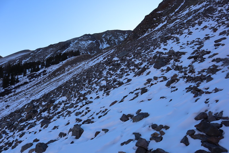
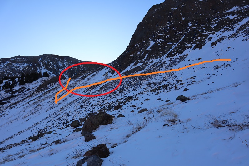
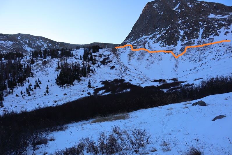
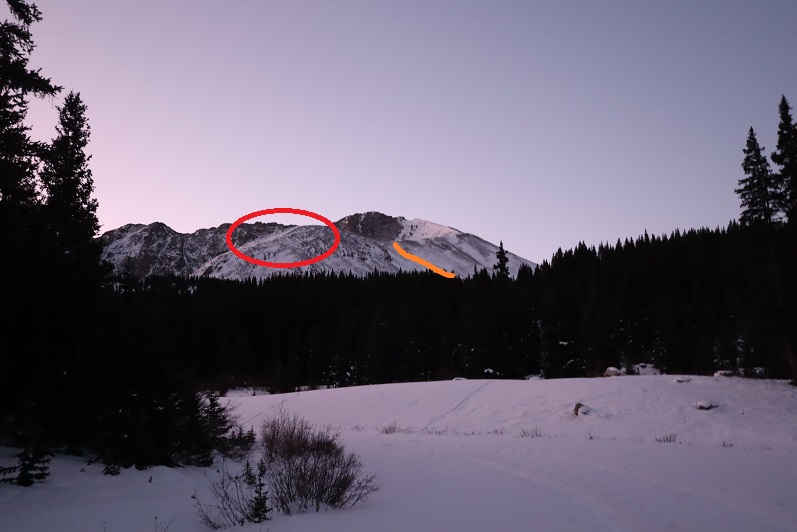
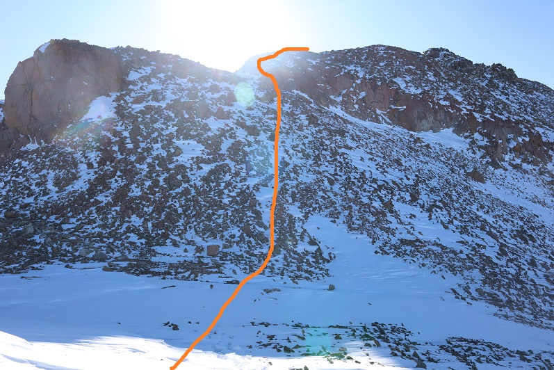
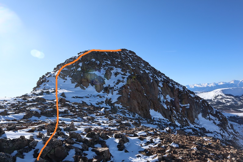
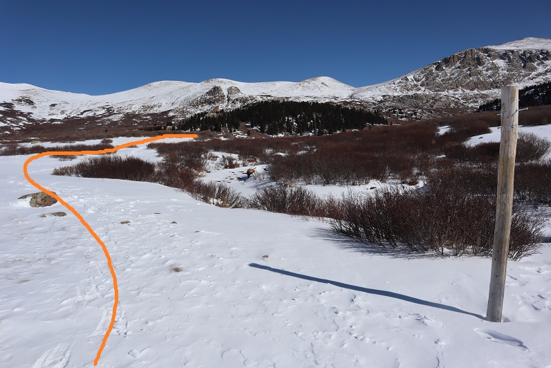
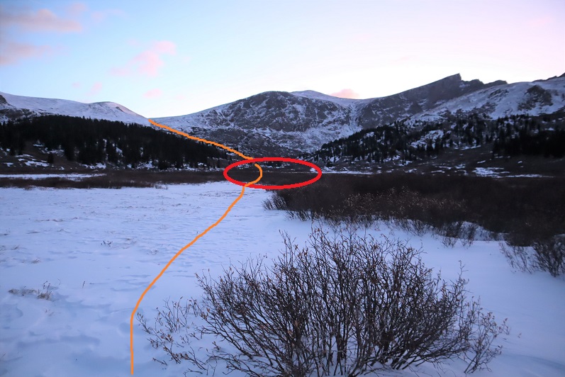
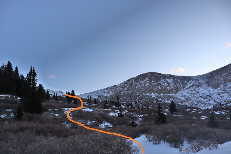
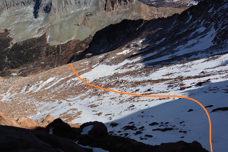
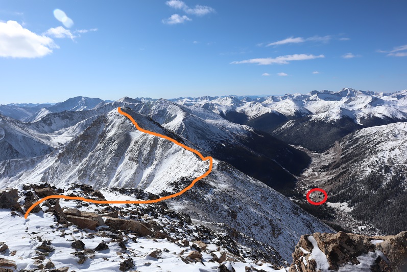
When I looked up at the mountain I could see headlamps. Wow!  It’s not often I’m not the first person out.   That’s what happens when you sleep in.  They were taking a different route to the ridge than I planned on taking, and I wondered if they knew something I didn’t?  You can’t really see them, but they’re circled here.  The orange line is how I gained the ridge

3

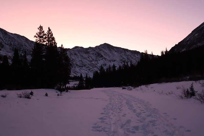
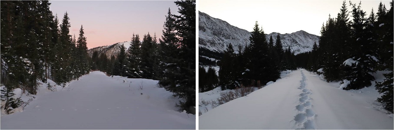
I put on my microspikes under my snowshoes and headed out. As the sun started to rise I followed the road as it wound southwest, switchbacking a couple of times

4

There were plenty of tracks on the road until I came to a straightaway. All tracks went left (east) but my instructions said to go right, so I got to be the first one on the new snow!

5

After about a quarter mile I turned left and entered the trees

6

There was no trail here but I could see the mountain. I trenched my way south, sometimes coming across ski tracks or old game trails

7

8

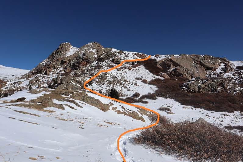
Eventually I made it to treeline and had no difficulty figuring out the route before me. There were some large snow drifts towards the end of the basin I wanted to avoid so I decided to gain the ridge early.  The snow here was soft and sugary and I was once again glad I’d worn snowshoes.

9

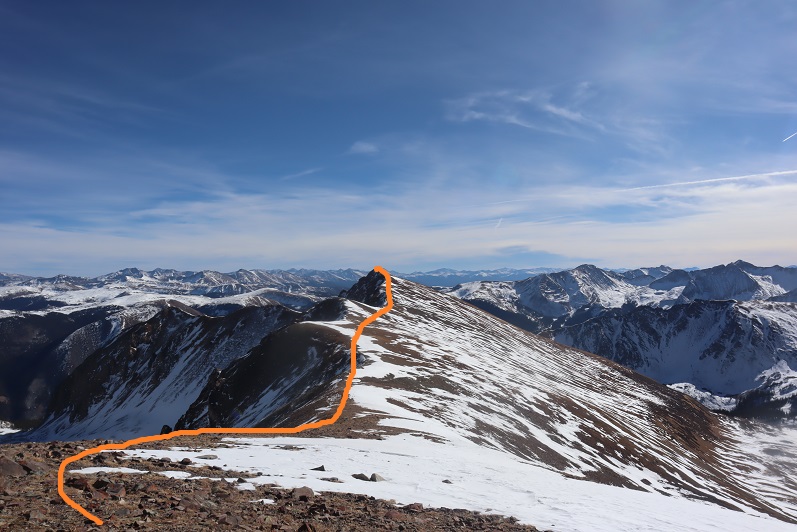
Here’s the path I took up the ridge

10

It’s steeper than it looks. Once on top of the ridge I ran into the tracks of the hikers I’d seen that morning. None of the tracks headed back down so they must still be on the mountain. I turned southwest and started up the ridge

11

12

The snow here wasn’t consistent.  In some places there wasn’t any snow, and in others it was consolidated.  I saw just enough postholing tracks from the hikers above me to convince me to keep my snowshoes on.
13

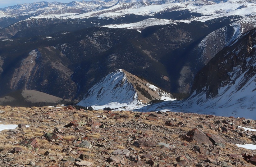
I followed the ridge to a small saddle and ascended the hill.

14

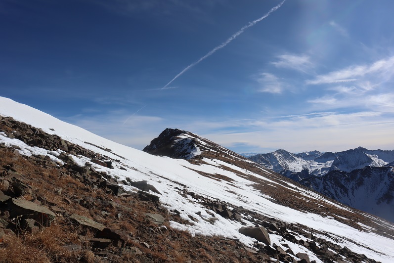
I completely thought I was nearing the end of this climb and kept looking for the other hikers. They should have been way ahead of me.  Why hadn’t I seen them yet?  I kept feeling like I was getting closer and closer to the end, which meant they should have been on their way back by now.  At the top of that hill there was a pole. This pole is important, as it signifies the correct route to take back down.  It’s good to make a mental note of where this is. I went right here
15

This is where the fun began. Once again, I totally assumed this was the summit (it wasn’t). I went up and over

16

And saw this

17

No worries… that must be the summit (it wasn’t). It was an easy class 2 hike though, until I came to a short class 4 section here, which was interesting in snowshoes

18

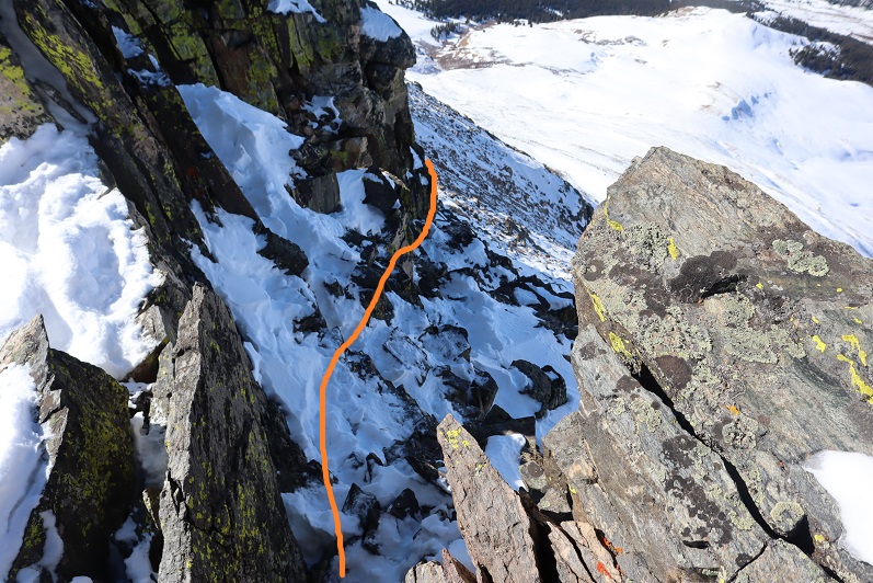
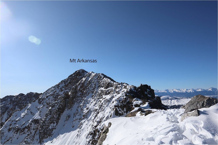
At the top of the class 4 section my heart sank: I still had a long ways to the actual summit, and it looked like all class 3+ from here.  I couldn’t see the other hikers anywhere and I was getting seriously worried because all tracks still pointed up.

19

I looked for the class 2 section as an alternate, but there was so much snow it wasn’t a viable option. If I was going to continue I was going to have to climb class 3 in the snow.  That wasn’t going to be possible with my snowshoes on.  I seriously considered turning back.  This would be an easy hike with no snow, one I could do quickly next summer.   I debated my chances of success in the current conditions.

I decided since it was a nice day I’d take it one step at a time and turn back if necessary.   The snowshoes weren’t necessary so I sat down to take them off and stash them while I summited.  Just as I was kicking them off (I didn’t want to take my gloves off so there was a bit of a struggle)  I saw the group of hikers coming towards me.  No, they hadn’t been slow, it had just been a much longer ridge than I’d anticipated and they’d been behind rocks when I’d made it within final view of the actual summit.  I waited for them to pass me.  I had a hard time making conversation (my mouth was frozen and it was difficult to make words) but we had a quick chat.  They said the headwall on the way they’d come up hadn’t been fun.  I wished them luck and we were on our separate ways.  I was so glad I’d decided to put on my spikes under my snowshoes!  It was worth it not to need to take off my gloves.  The wind wasn’t too terrible, but I’d need all the feeling in my fingers I could get for some class 3 scrambling.

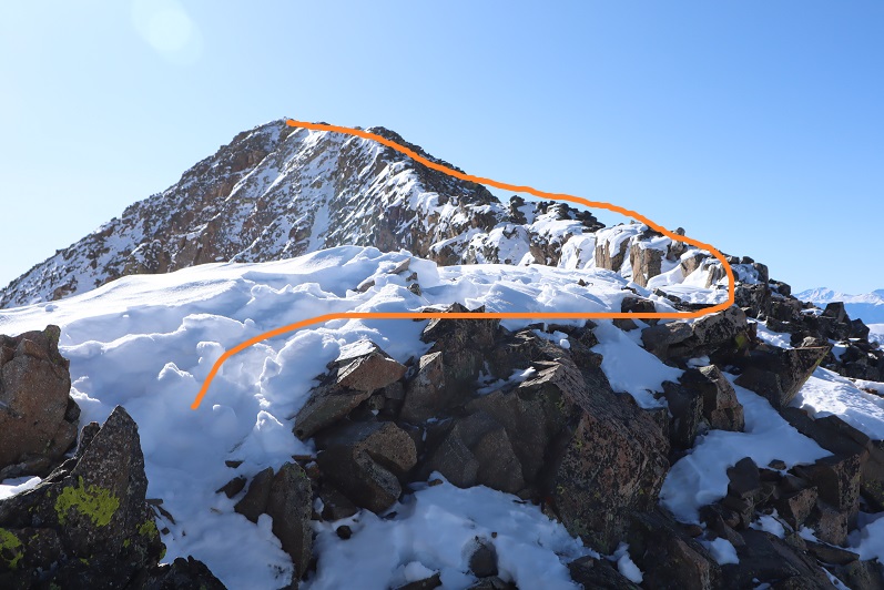
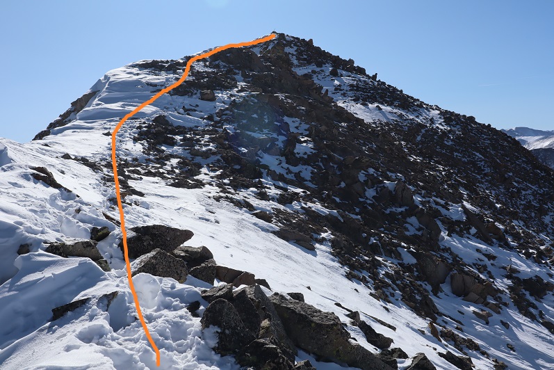
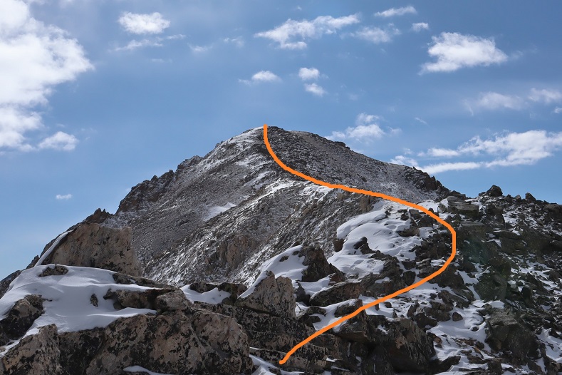
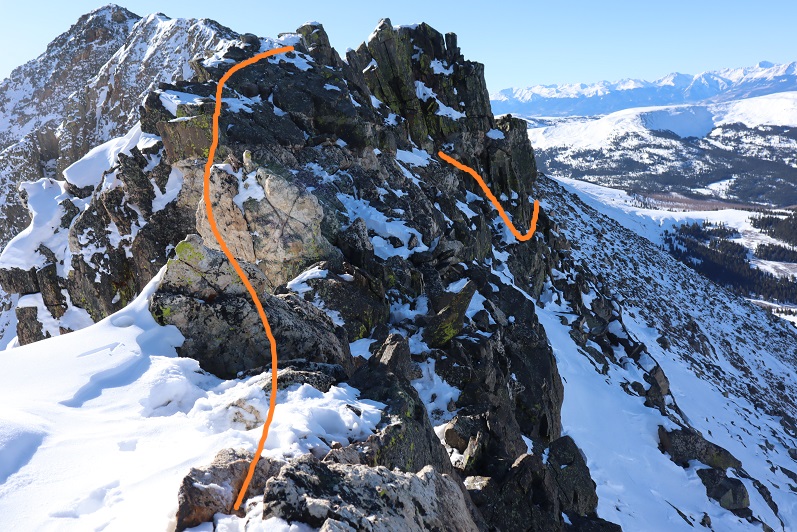
This last route on the ridge mainly sticks to the ridge, but it does dip down a few times to the right. Here’s the route I took

20

21

22

It looked like the group ahead of me had gone a little higher in places than I did but I felt their route looked class 4 and felt more comfortable staying a bit lower. I was never more than 30 or so feet below the ridge and most of the time I was right on top.  The last push to the summit was on class 2 rocks

23

24

There was a big cairn indicating the summit. I was thrilled I’d decided not to turn back!  That had been easier than I’d anticipated.

25

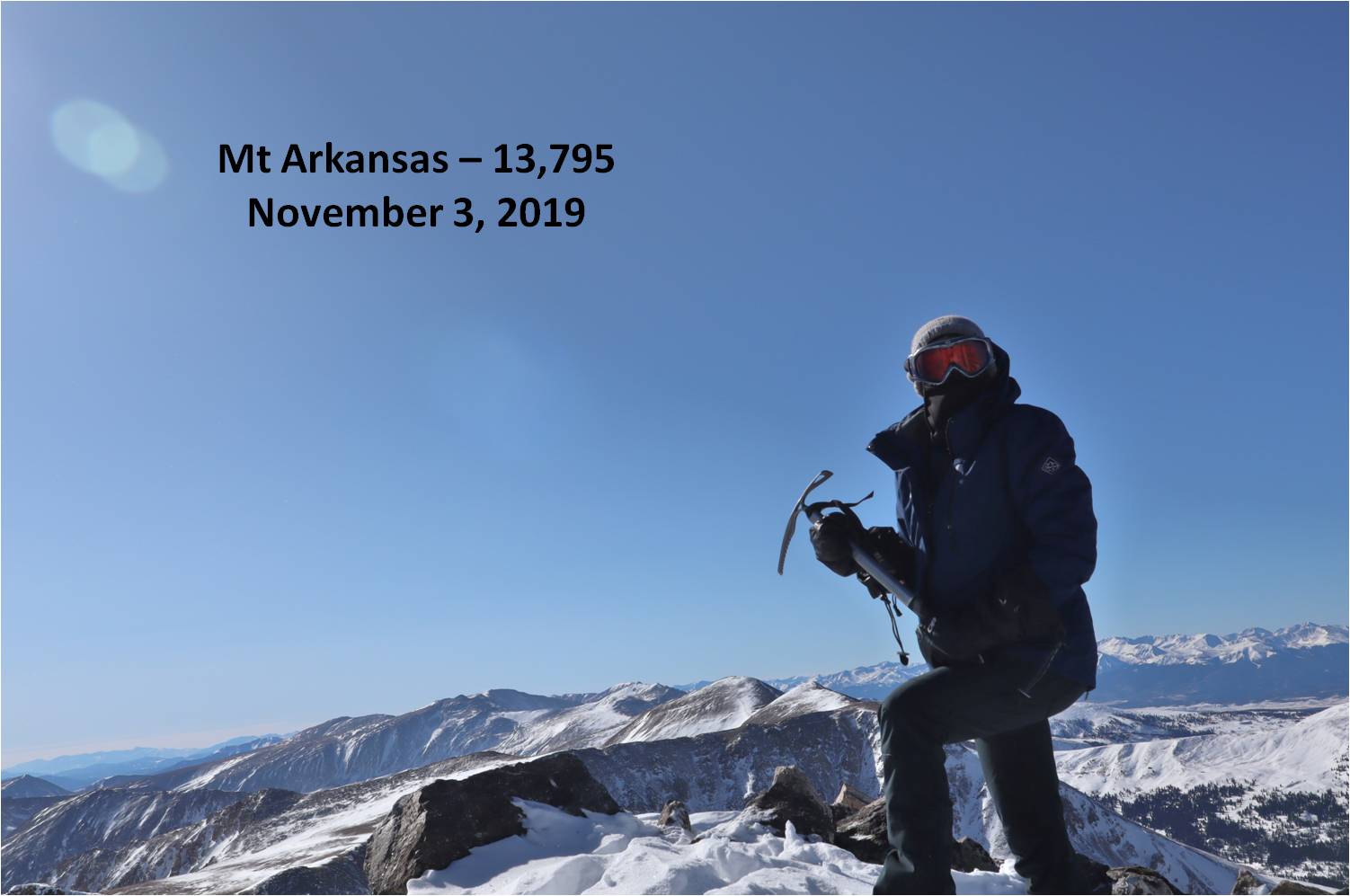
Here’s my summit photo

26

It is much harder to work a camera with large gloves on than you’d think. If you have a few minutes to spare you can watch one of my attempts (I couldn’t figure out why it wasn’t working.  Turns out it was on video mode).  This sort of stuff happens frequently and wastes time on the summit.  I tend to give up quickly and go with the first shot I take, especially when it’s cold and time has more meaning.

Summit Post

27

Here’s a look back down the ridge

28

The trail down the ridge was pretty similar to the way up. Here’s a look at the tricky sections

29

30

31

32

Remember how I said that pole was important? Here’s why:  You don’t follow this ridge all the way down.  You’ll eventually turn left and follow a different ridge

33

The wind was starting to pick up, and some of the trenches forming were body-sized because of the sugary snow

34

The pole is circled here in red. Follow the ridge to the left, don’t go straight or it will take you to point 12923.

35

From here I followed the ridge to just before the headwall

36

Looking back things started to get windy

37

I turned left and headed down the side of the mountain. Down was much easier than up.

38

Here’s my exit route back into the trees

39

My tracks were mostly gone in a lot of the basin but I could see where they picked up near treeline

40

Once at treeline I just followed my tracks back to my truck, doing my best to form a nice trench

41

I made it back to my truck at 12:30pm, making this a 6 mile hike with 2759’ of elevation gain in 6 and a half hours. The hike had felt longer distance wise than it was, and I it felt shorter time wise.  I guess I kind of went into a zone when crossing the ridge and lost track of time.

42

43

Gray Wolf Mountain – 13,604

1

RT Length: 9.5 miles

Elevation Gain: 2300’

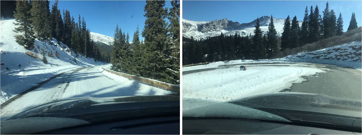
Surprised they hadn’t yet closed Guanella Pass for the season, and with the only above treeline forecast for peaks I want to climb that didn’t have forecasted “blowing snow and blustery winds” I decided to try to get in this bicentennial before they closed the road. The drive up was icy so I took it slow, arriving at the Guanella Pass trailhead at 6am.

2

3

It was windy and cold and windy. Did I mention it was windy?  I got ready in my truck, put on my snowshoes, and sat in the front seat, willing the wind to stop blowing my truck back and forth.  It didn’t, so I decided as soon as it was light enough where I didn’t need a flashlight I’d be on my way.  Today’s hike was short and I wasn’t too worried about time.

I started from the south end of the parking lot at 6:40am

4

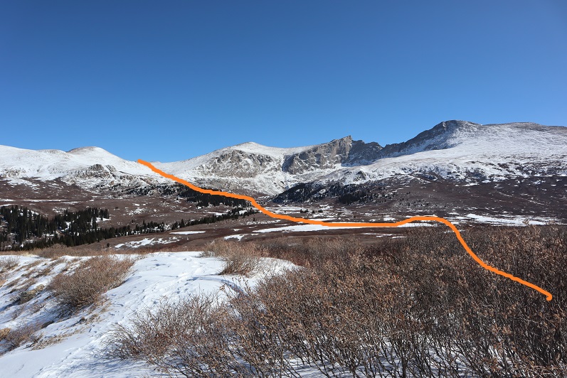
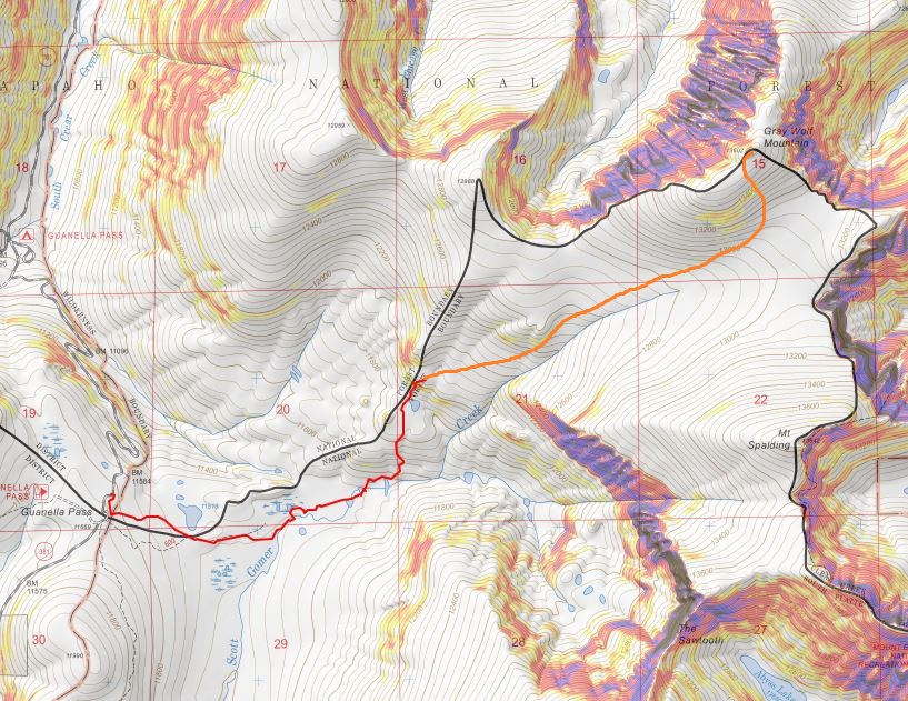
Here’s an overview of my route

5

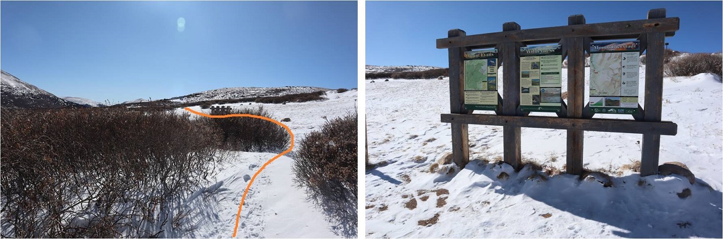
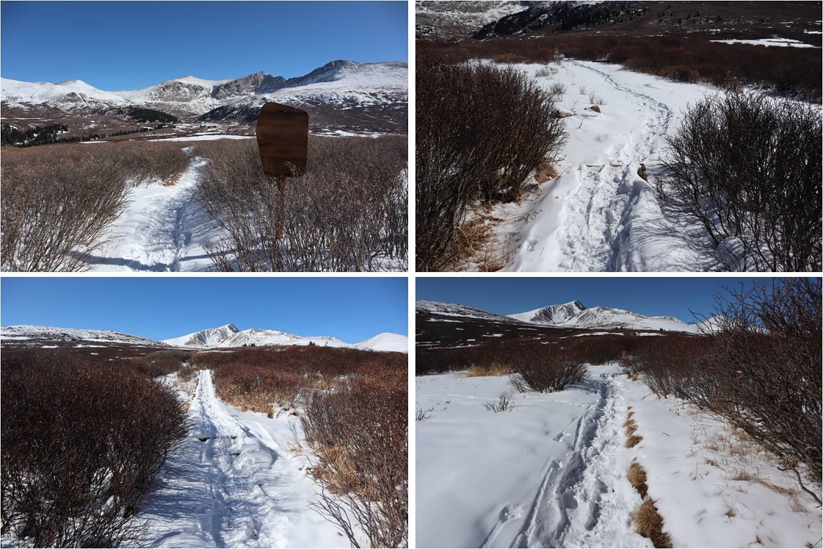
I followed the well trenched Bierstadt trail through the willows until I came to post #11

6

The wind stopped as soon as I descended into the basin, which was a welcome surprise. At post #11the trail continued to Bierstadt, but ended for me.  I turned left and angled northeast through the basin, doing my best to avoid the willows and creeks.

7

Avoiding the willows wasn’t too difficult, but avoiding the small tributaries and creeks was a challenge.   It seemed as if there were offshoots of water everywhere.  They were covered in a thin layer of ice and several inches of snow.  Since they hadn’t yet frozen over completely they were a hazard.  It would look as if I was walking along a section of grass, and then I’d hear cracking and gurgling beneath me.  I had to take care not to plunge step into a small creek but wasn’t too worried as they weren’t very deep.  As I made it to the middle of the basin I noticed a herd of elk moving ahead of me.  They’d obviously seen me first and were doing their best to put some distance between us.  Luckily for me I noticed they were traveling in the same direction I wanted to go, so I decided to just follow their tracks.

8

Following the elk had its advantages: they’re heavier than I am and I can see where they posthole and whether or not they break through ice.  I didn’t take the conventional way up this slope, but I felt more secure in my footing following animal tracks.

I followed game trails through the willows and trees

9

to a small plateau. Still following the elk tracks I gained the side of the mountain

10

And found a cairn! Woot!  It seems I was on the right track.  The elk had gone left and I wanted to go straight so I stopped following their prints and headed east through the willows and then followed the drainage up the basin, keeping the drainage to my right.

11

The beginning this part of the hike wasn’t too bad. I just kept following the drainage towards Gray Wolf Mountain

12

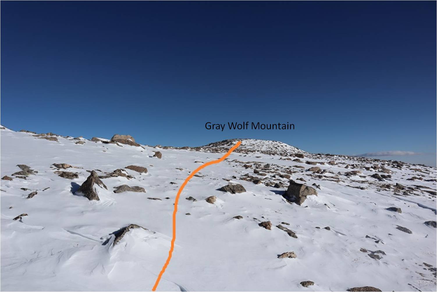
Just as I made it to the base of the peak the wind started picking up intensely. I made the decision not to ascend Gray Wolf Mountain via the ridge because I was worried the winds would be too much for me (dotted line).  Instead I followed the basin until I felt I was parallel with the summit and gained the ridge that way, thus being able to make it to the top without the intense wind (solid line)

13

Winds were forecasted at 20-25mph, but they far exceeded those numbers. The winds never slowed down and they never stopped.  It’s difficult to get a picture of wind…

14

15

Eventually I hit an ice patch and decided it was time to start climbing Gray Wolf Mountain

16

I turned left (north) and ascended the ridge

17

18

The higher I climbed the lower the wind speeds became. The snow here was either hard packed or soft and unconsolidated, making route finding challenging.  I had to go slower than I would have liked to avoid twisting an ankle in the snow hollows between larger rocks.

19

The further up the mountain I went the more snow I encountered

20

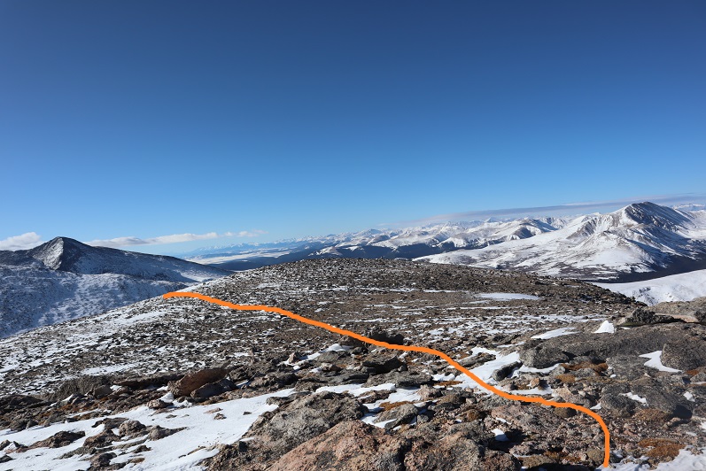
Until I made it to the ridge and saw it was mostly windblown. Here’s the path to the summit

21

And looking back, you can see a better view of the dropoff between Gray Wolf Mountain and Mt Spalding and the wind that went with it

22

As I got closer and closer to the summit of Gray Wolf Mountain the winds increased again. I had to keep my head down and body angled forward to avoid getting blown over

23

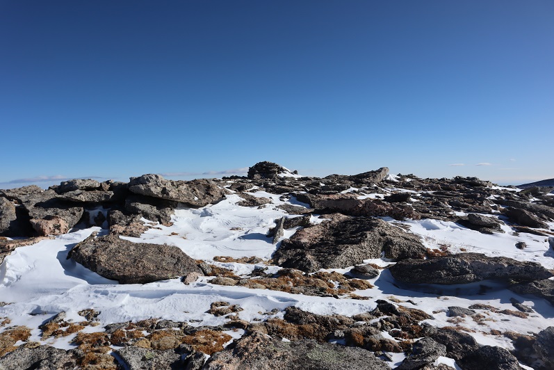
When I made it to the summit I took off my backpack to set it down and it was blown by the wind, tumbling 10 feet away from me. I hobbled back and forth in my snowshoes to retrieve it before it was blown off the mountain altogether.  Wow, those were some strong winds!  I set up my camera between two rocks on the summit cairn to get a picture of myself on the summit.  I got one before the camera was blown over.  This is me stoically struggling against the wind to remain upright in the wind. Also, I’m cold.

24

I didn’t even bother looking to see if the picture was good: The wind wasn’t stopping and I had to get out of there.  These were sustained winds that I’m guessing exceeded 60mph.  I bent down to retrieve my backpack to put it on.  I was able to get one arm through one of the straps, but tried over and over again unsuccessfully to get the other arm through.  The wind kept blowing the pack away.  Frustrated, I half laughed/screamed “STOP!!!!”  to the wind.  It didn’t listen and it wasn’t going to listen so I had to get creative.  I propped my backpack up against the cairn, turned around, sat down and put the pack on.  At this point the wind was blowing me against the cairn and I couldn’t stand up from a sitting position.  I rolled onto my side and used my trekking pole to hoist myself up.  I made the decision right there not to attempt Mt Spalding today:  If the wind was this bad at 13,600’ I could just imagine what it was like at 13,800’.

I trudged against the wind back the way I’d come

25

When I made it back to the ridge the wind lessened as I descended out of its path. I followed my tracks back to the plateau

26

27

28

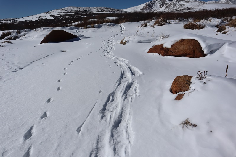
Here you can see how each step varied: sometimes the snow was firm, and other times I’d sink

29

30

I followed the drainage back down, keeping the drainage to my left. The wind was again strong here, but nothing like it had been on the summit

31

I aimed for this bump in the ridge

32

33

Found the cairn

34

And headed back down the hillside and into the basin. Here you can see my tracks, along with a bunch of elk prints

35

The wind hadn’t been present here, so I was easily able to follow my tracks back to the trail

36

37

38

I only ran into an issue once, when an area I’d crossed earlier had warmed up and I stepped through the ice. I’d known water was here and traversed the area slowly.  In my snowshoes my foot didn’t even get wet, but this picture shows a break in the ice

39

I love following animal tracks!

40

There were tons of moose tracks near the boardwalks in the willows that hadn’t been there when I’d hiked in, but I didn’t see any moose. There was one other vehicle in the parking lot when I left.  I didn’t see anyone else all day so I’m assuming they hiked Bierstadt.

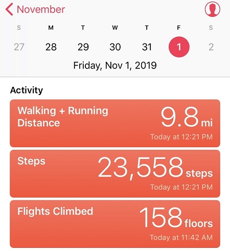
I made it back to my truck at noon, making this a 9.5 mile hike with 2300’ of elevation gain in 5 hours, 20 minutes. When I went to stop my tracker it had shut off about an hour or so into the hike (I’m assuming due to cold) so for mileage I’m going by my iPhone’s tally and for elevation gain I’m just using topo estimates.  Red is what Strava recorded, orange is the rest of my route, hand drawn. If there hadn’t been any wind this would have been a really easy day.  I was kind of bummed I hadn’t had been able to try Mt Spalding, but there are numerous ways I can hit it next time.

41

42

Also, apparently my balaclava hadn’t been entirely covering my face. It had frozen in the wind and I’d thought everything was covered but when I looked in the mirror I had a dime sized sunburn on the tip of my nose.  Very cute.

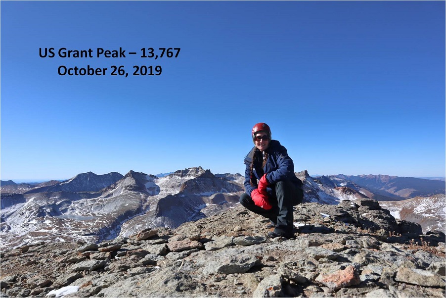
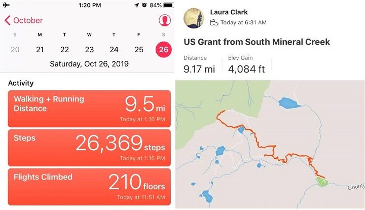
US Grant Peak – 13,778

1

RT Length: 9.5 miles

EG: 4084’

Parked at the Molas Pass Trailhead, I woke up very well rested but with a bloody nose. The stars were out and it was dark outside, but my nose runs a lot while I hike so I know what a runny nose feels like.  This was blood, and I reached for a bandana.  I slid my arms out of my sleeping bag and gasped at the cold and wondered to myself why my alarm hadn’t gone off?  I knew I’d overslept, but wasn’t sure by how much?  I fumbled for my phone, which was indeed flashing “Alarm! Alarm! Alarm!” but not making any noise.  Apparently it was going off but because of the cold it wasn’t functioning properly.  Note to self: get an alarm clock that doesn’t run on your phone.  The display said it was 5:26am.  Drat!  I’d set the alarm for midnight, and now it was much too late to begin either of the hikes I’d had planned for the day (although the 10 hours of uninterrupted sleep had been pleasant).

As I was applying pressure to my nose I considered my options. Due to the time I couldn’t hike into the Vestal Basin, but I was close to the South Mineral Campground where I’d hiked yesterday, and the conditions there had looked favorable.  The only downside?  I didn’t have any beta with me on any of those peaks.  I decided to drive to an area where I had cell service and pull up my email.  I wasn’t sure, but maybe I’d emailed some beta to myself a few weeks ago from peaks in the area?

Did I mention it was cold? I turned on my truck and the temperature read 19 degrees.  Oh, and that frost is INSIDE the window.

2

A few miles down the road I had 2 bars of service and found a pullout to park. I was there for about 20 minutes searching through my emails for information on a hike I could do today.  Not one vehicle passed me while I was there.

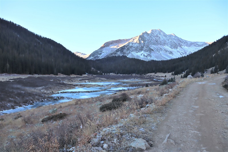
I was in luck! I had started some notes on US Grant Peak.  I hadn’t finished them completely (I’d wanted to do this peak with Pilot Knob and “V4” and possibly “V2”) but I had enough beta to go on.  It was 50/50 on whether the path would be clear enough from snow to summit, but I figured just the hike to Ice Lake would be worth the effort.  I took screenshots of my emails and drove back to the South Mineral Campground, parking in the same spot I did yesterday.

I took my time getting ready (it was colder here than it had been at Molas) and started on the trail at 6:30am. I signed the trail register and was on my way.

3

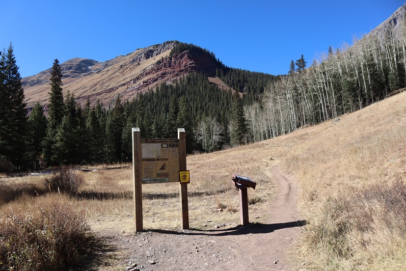
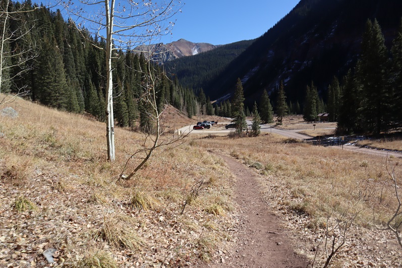
The trail begins at the west end of the parking area

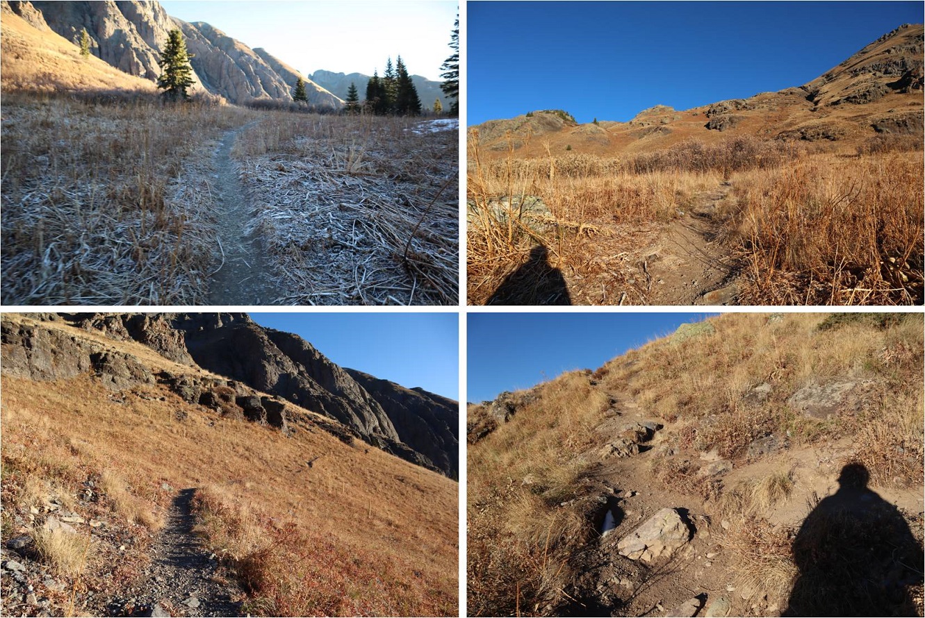
4

And starts by switchbacking up the hillside. There were more switchbacks than I thought were necessary, and lots of signs asking people not to cut the switchbacks.  What these trail designers may not realize is animals can’t read signs, and I’m sure the trails are being cut by deer, coyotes, etc. that would rather take the faster route.  If you don’t want people to cut switchbacks you need to design a more efficient trail.  Also, THANK YOU to all of our hardworking trail builders and maintainers out there!  You rock!

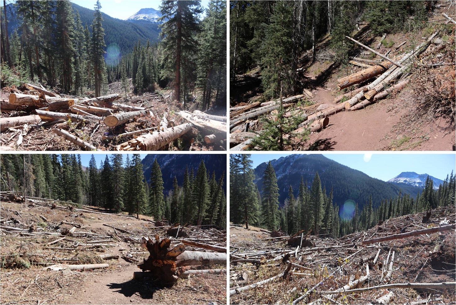
There was also a lot of avy debris that had been nicely cleared

5

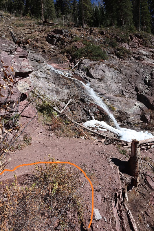
After the avy area there’s a waterfall. This is where (I believe) the switchback area you can alternately park at links up with the Ice Lakes trail. I went left here.

6

The trail exits the trees for a bit and then enters them, switchbacking again

7

8

Here I encountered ice on the trail. Nothing too difficult on the way up, but slippery on the way back down.

9

I excited the trees and rounded the corner

10

The trail is so nice I missed the turnoff and hiked about a quarter mile past it before realizing my mistake. I backtracked and took a picture of the correct route.  Turn right here onto the unmarked Island Lake trail

11

The rest of the trail up to the basin is easy to follow

12

I had great views of Fuller, Vermillion, and Golden Horn for most of the trek

13

The trail all the way to Island Lake was well established

14

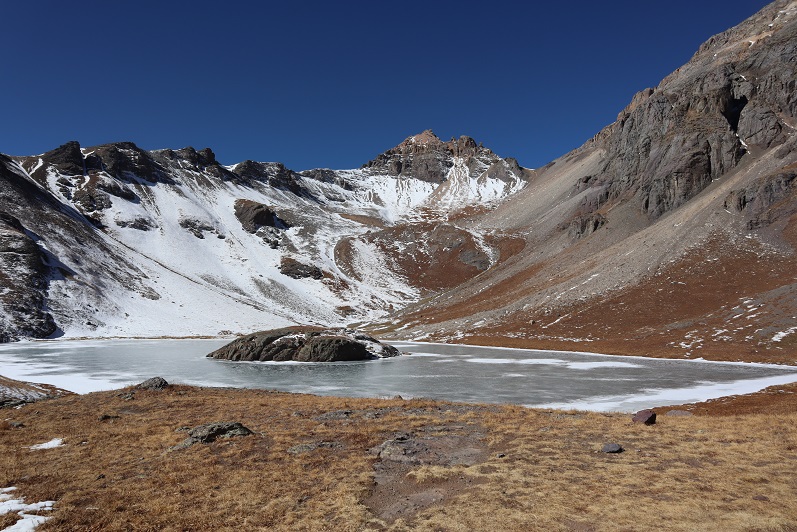
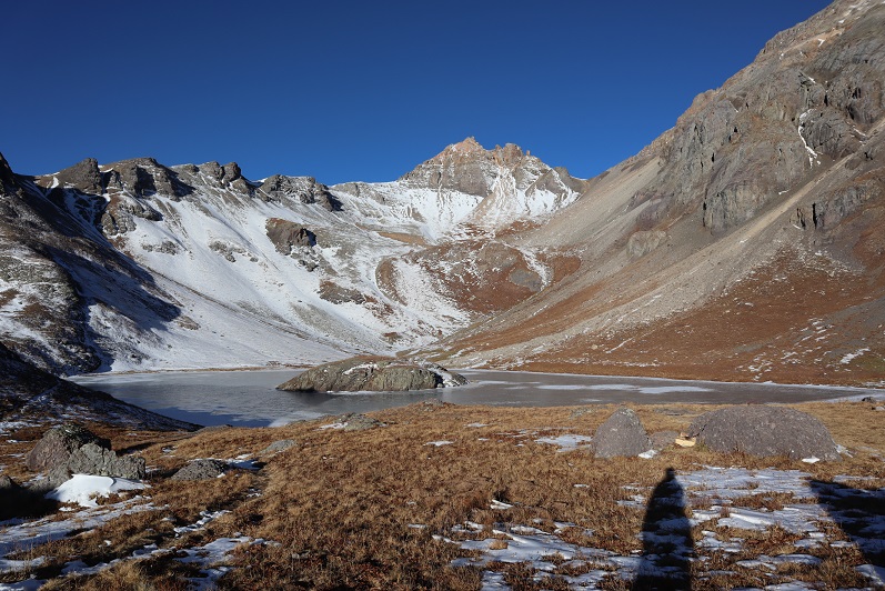
I made it to the lake and decided to take a bit of a break. Up until this point it had been slow going. I was curiously more tired than I should have been, considering I’d gotten quite a bit of rest last night.  Then it hit me:  I hadn’t eaten anything!  Adding up my calories yesterday (I’m guessing around 1000 total with the two packets of tuna and spoonful of peanut butter) and apple I’d eaten this morning, I wasn’t fueling properly.  I got out a tin of almonds and snacked as I took in the views.  Someone had left firewood.

15

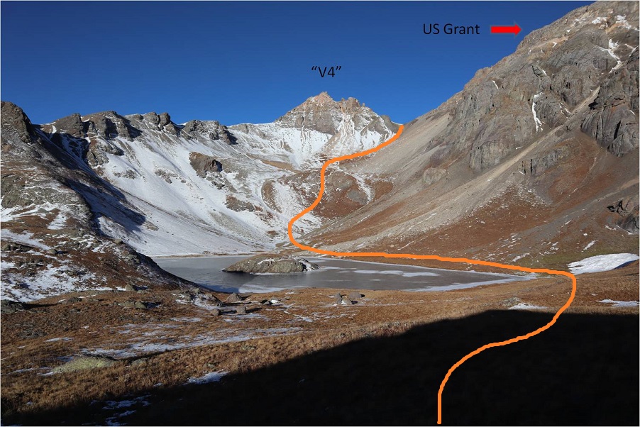
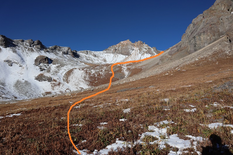
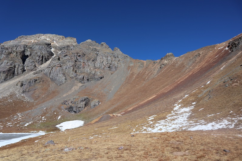
I put on my helmet, gathered my gear, and started out again. Here’s the path I took up to the saddle between V4 and US Grant

16

There is no clear trail around the lake, but the route was obvious. I was still a little worried snow on route may be a problem, but wouldn’t know for sure until I made it to the saddle, or perhaps even further.  This part of the hike is easier than it looked.  In my experience, gullies like this are steep and not much fun, but this one was filled with the good kind of scree (like on Red Mountain A) where it’s easy to gain traction.  I went straight up the side of the mountain and followed the gully.

17

18

About halfway up the gully I spotted something moving out of the corner of my eye. I turned and it stopped moving.  At first I thought it was a mountain goat because of its size, but then it started walking again and I noticed it had a canine loping gate, similar to a coyote.  But it was huge!  My next thought was wolf, but I don’t think we have them in the San Juans?  Also, 13K seems pretty high for a wolf.  Maybe someone had lost a dog?  I whistled to it and it turned around, stood, and watched me until I was out of sight, which ended up being about 30 minutes.  Any guesses as to what this is?

19

20

The final push up the gully to the ridge wasn’t difficult but I was going slow. This part of the hike was very mental for me, and even though I knew I was close I wanted to give up.  Stopping and turning back seemed like a great idea, and it got me to thinking:  What is it that keeps me going, even when I want to quit?  Stubbornness?  Probably.  I know if I just keep putting one foot in front of the other and stop-stopping I’ll eventually make it.  Yes, it’s stubbornness, but it’s also something more…

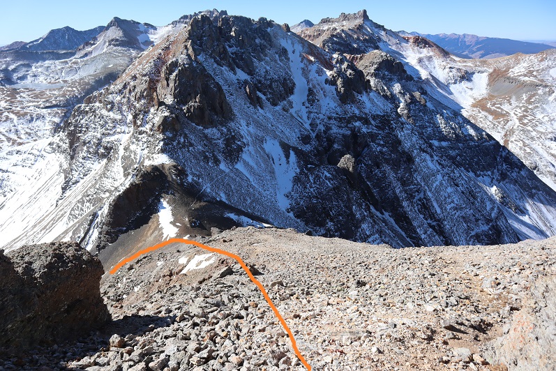
At the saddle I turned right and my spirits dropped a bit. No snow (yay!) but tons of scree and choss.  I was going to have to be careful with my footing.

21

There was a very faint trail here, and a lot of gullies. I noticed in the important areas there were cairns (probably 5 total).  If you see a cairn, use it because it’s helpful:  heading up or down the wrong gully would prove nasty here.

22

I came to an easy class 2 gully (it looks worse than it is)

23

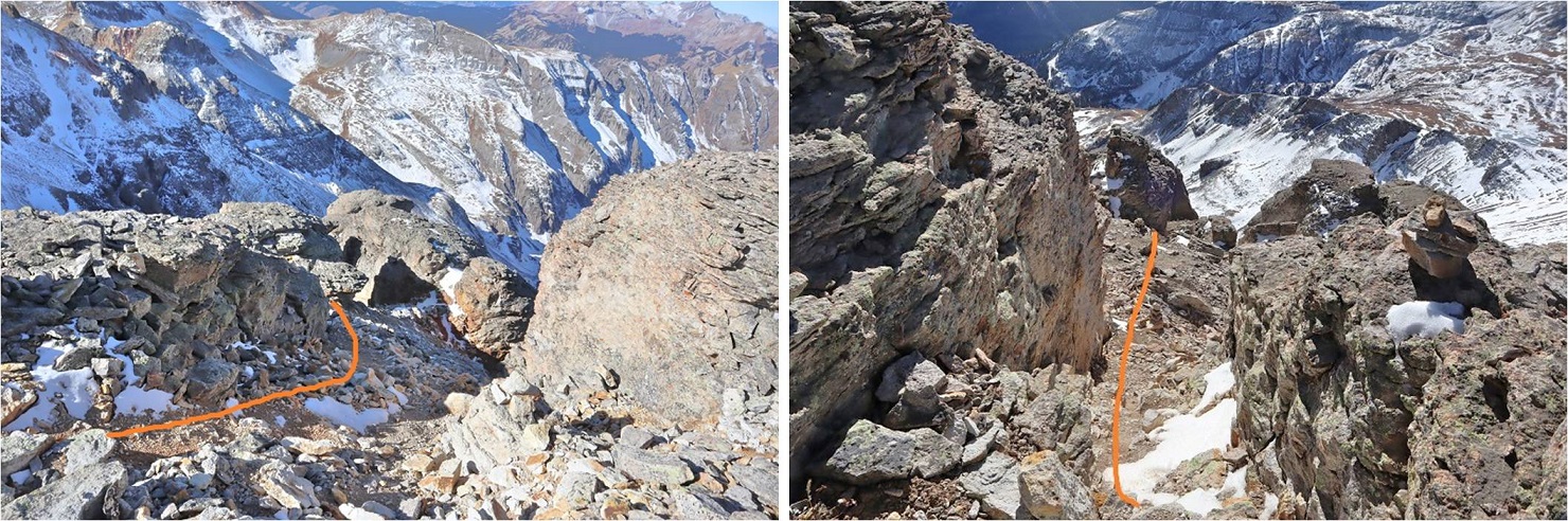
This is where the fun begins. There isn’t much left to the rest of the route, and it’s all class 3+.

24

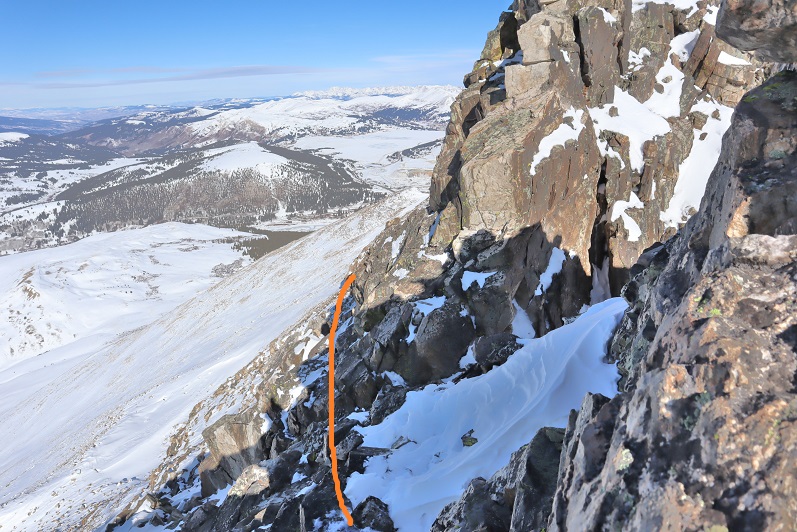
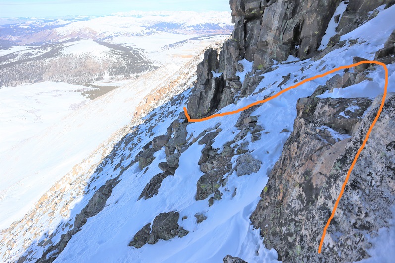
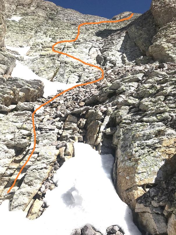
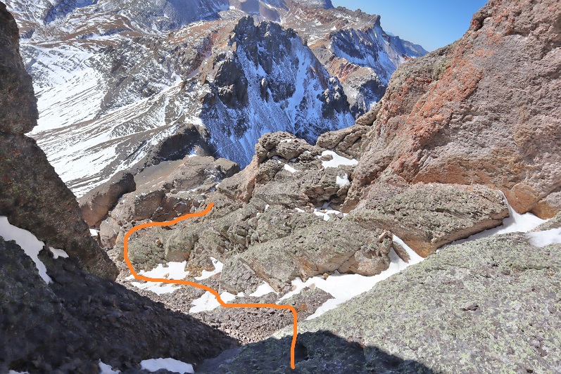
This is the class 4 crux section. Here is the route I took up the class 4 section and over the class 3 airy ledge (it felt worse to me than the airy ledge on Jagged).

25

The class 4 section was easier to me than I’d heard. I stepped on a medium sized rock and easily pulled myself up.  There were plenty of hand and footholds, and I found the climb was just over twice my body length, so no more than 10-15 feet.  Here’s the path I took (both up and down)

26

Here’s another look up from the step

27

Once on the ledge I went right (the only way I could go) and carefully traversed the ledge. There was definitely some exposure here.

28

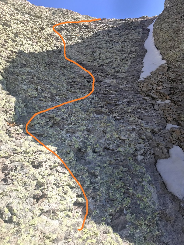
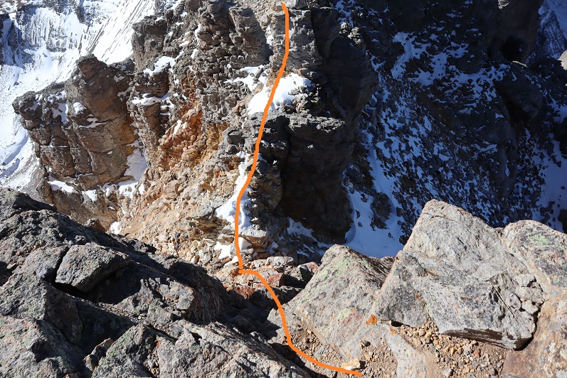
Once around the ledge I found myself at a class 3 gully. Woot!  No snow!  This was the last obstacle on this climb and I was thrilled it was (basically) snow free!  This gully had both stable rock and choss, so each move had to be carefully calculated.  It’s steeper than it looks, and would not be fun with snow.  It looked like you could take the right side straight up, but that was steeper than I felt comfortable climbing, so I kind of zig-zagged up the gully wherever I could find stable rock.  Bonus if there was dirt involved.

29

30

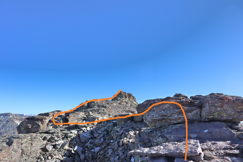
From the top of this gully it was an easy walk to the summit

31

32

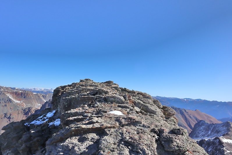
I summited at 10:20am

33

Summit Video:

It was a really nice day so I spent a lot of time on the summit, enjoying the views and congratulating myself for not stopping when I wanted to. This is why I keep going:

34

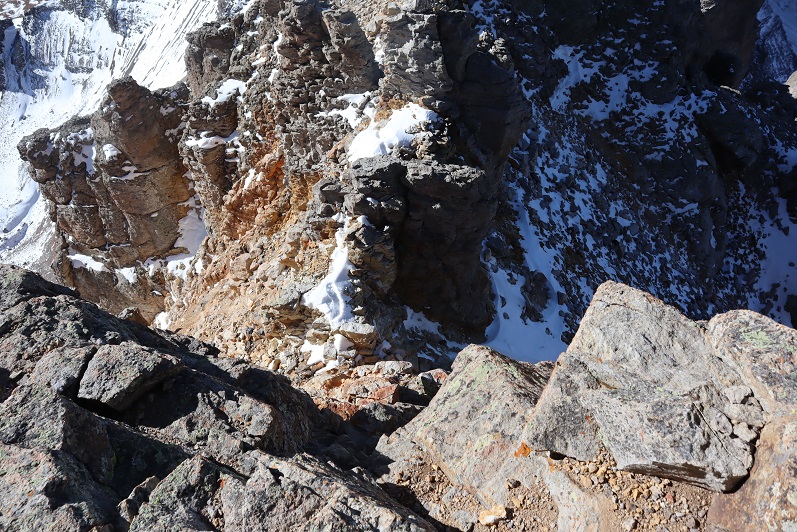
This one was tricky, so here’s how I made it back down. First back down the gully

35

36

Then across the airy traverse (don’t look down)

37

And back down the crux.

38

39

Once again, it’s important to be aware of the gullies from here. Look before you commit, as there are many game trails that look like trails.  They don’t all “go”.  Look for the cairns and second guess each route you take, especially on the way back down.

40

Looking over at “V4” I didn’t feel comfortable attempting it today, mostly because I hadn’t done any research on the route and an obvious one wasn’t visible to me from US Grant’s ridge. It looked like it had too much snow, so I didn’t even attempt it, and instead put on my microspikes, made my way back to the saddle and headed down.

41

It’s amazing how different the snow can be on two sides of the same mountain. Here’s my route back down to Island Lake.  I followed the soft gully back down, paralleling the snow.

42

I took another break at the lake to reapply sunscreen and take off my microspikes and jacket (it was getting hot!). I heard some voices above me, looked up, and noticed some hikers at the top of the US Grant/”V2” saddle

43

The trek out was uneventful. I had to be careful because the snow was now icy and I didn’t want to slip (but I didn’t want to put on my spikes either).  I came across a family with three young kids (between the ages of 4-9) who were about halfway to Ice Lakes Basin and didn’t look like they were going to make it.  Their dog was off leash, barked and charged at me.  I’ve never been afraid of a dog in my life, but this one caught me off guard.  The oldest child told me not to worry, that the dog was nice and just pretending to be mean.  Hmmmm.  In any event, I warned the next couple behind them with the off leash pit bull of the off leash charging dog ahead.  Seems to me there was potential there for a scuffle.

There were several cars in the parking lot now.

44

I made it back to my truck at 1pm, making this a 9.5 mile hike with 4084’ of elevation gain in 6.5 hours.

4546

Rolling Mountain 13,693′ (attempts)

1

RT Length: 13.5 miles

EG: 5079’

I have a feeling I’m going to have a lot of second attempts while working through the bicentennials and the rest of the 13ers. There just isn’t that much quality beta out there on these peaks when compared to the centennials.  My goal with this trip report is to provide beta on a lesser climbed peak.  Please feel free to add to this beta to continue improving its collective knowledge.  Yes, I know there’s another approach I didn’t use (which I will next time).

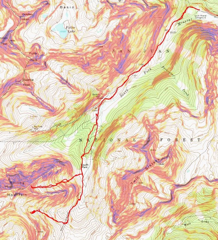
My plans shifted and changed right up until I was driving to the trailhead. There are a lot of peaks I want to climb in the San Juan’s, and they had the best weather forecast for the weekend.  They also didn’t get as much snow as the rest of the state this week, so I was hoping to hike a few of the more difficult peaks during the nice weather window.  My plan was to hike Rolling Mountain Friday and give the Grenadiers some more time so melt out (if they needed it at all).  I’d be able to see them from Rolling Mountain and gauge if they were climbable at that point.  Plan A was to do the Trinities, Plan B was to hike Arrow Peak, both 25+ mile hikes with 8000’ of elevation gain.  I didn’t have a plan C…

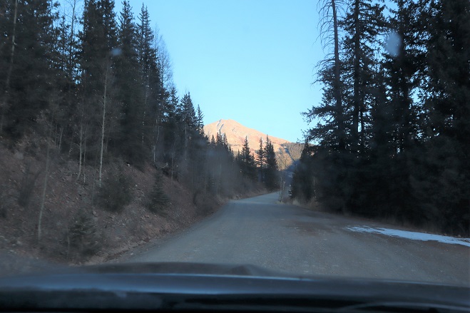
I made it to the South Mineral Trailhead at 7am and took my time getting ready. It was really, really cold outside.  Luckily the drive in was nice, on a well maintained 2WD dirt road.  There wasn’t any ice on the dirt drive in (but there had been on 550, making it a slow approach).

2

I followed the Rico/Silverton trail for about 2.5 miles, first starting out actually following the trail, which wasn’t more than a game trail through dense trees.

3

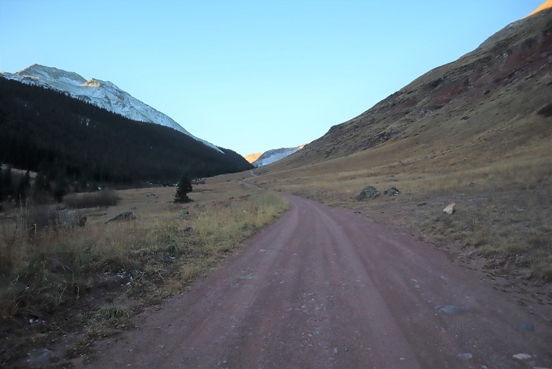
I quickly realized the trail follows the dirt road and instead of spending time route finding I just hiked along the road. I could easily have driven my Tundra the 2.5 miles I hiked.

4

The worst part of the road looked like this

5

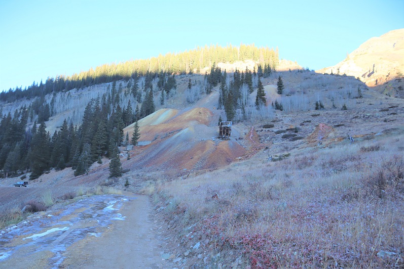
Just after the Bandora Mine I entered a small basin

6

7

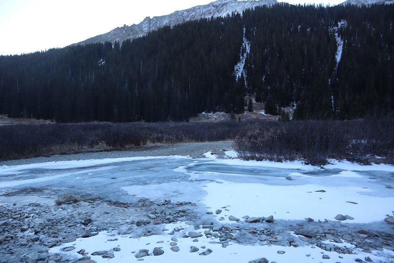
Here the trail might as well have ended, as the road became covered in ice.

8

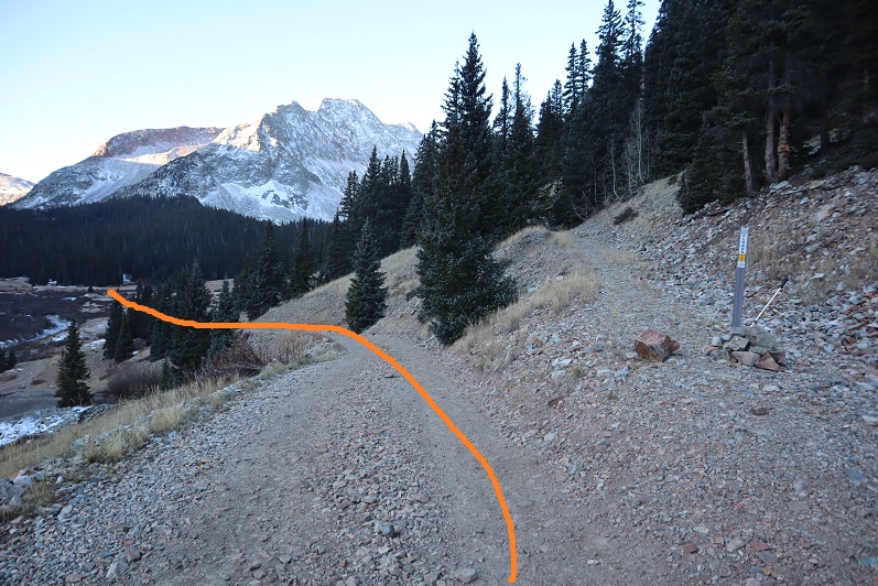
I found my away across the ice and through the willows back to the road. Here I had two options, one going to the left, the other the right.  I chose to take the trail to the right in, and the trail to the left out.  Long story short:  The trail to the right is more of a game trail so some route finding is involved.  The trail to the left is a solid trail but crosses streams at least 3 times.

9

The road to the right ended at a few campsites

10

And then a game trail took over.

11

This trail was faint and the only way I was able to follow it in the snow was due to moose tracks using the trail. They looked fresh, and appeared to be a mama and calf.

12

Since this is a faint trail the best advice I can give you is to keep the stream to your left and closely follow it.

13

Eventually I came across where the true trail picked up and route finding (for the time being) was over.

14

15

I continued to follow the trail south, past one of the possible routes up Rolling Mountain. I chose not to take this route first because on a topo map it looked like it had a tougher slope angle

16

I kept hiking until I came to the next basin. At the top of a rock slab hill I turned right (west) and left the trail.

17

I cut across the willows and headed up the slope, first on tundra, and then on terrible talus

18

19

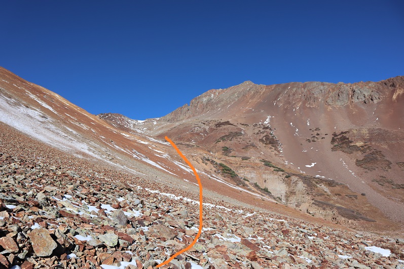
All was going well until I made it to the top of this hill. My intended route to access the summit is outlined

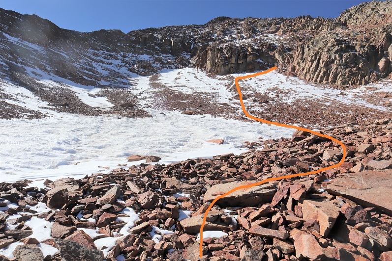
20

But when I made it to the top of the hill I was surprised to find a steep downward slope, covered in snow.

21

My first thought was to just walk down it. I put on my microspikes and took a step and plunged up to my waist in snow. Wow!  That was deeper than I’d thought!  So deep and sugary I don’t think snowshoes or an ice axe would have helped.  Next I tried to traverse around the snow on the scree, my intent to find the smallest piece of ice and cross there.  However, the scree here is light and covering smooth rock slabs, making traversing the area like walking on marbles, even with spikes on.  I tried heading higher but encountered similar wide, snow filled gullies.  I retraced my steps and tried again.  I couldn’t cross this area to my right because there was as 40 foot dropoff. Glissading wasn’t an option because I sank to my waist, and I didn’t have the tools necessary to climb back up (or self arrest).

22

23

This was so incredibly frustrating! I spent almost an hour trying to find a good way through this seemingly easy section, and hit a dead end every time.  I glanced up and looked at the rest of the route.  It looked like even if I made it past this part the area I needed to gain the ridge was covered in a large snow drift.

24

At this point I made the decision to turn around and instead try the route I’d passed on my way in. Yes, it would mean a lot of added elevation gain, but I felt I’d be safer.  I had all day, so I wasn’t worried about time.  Here’s the route back to the trail.  I followed the deep drainage a little more closely this time.

25

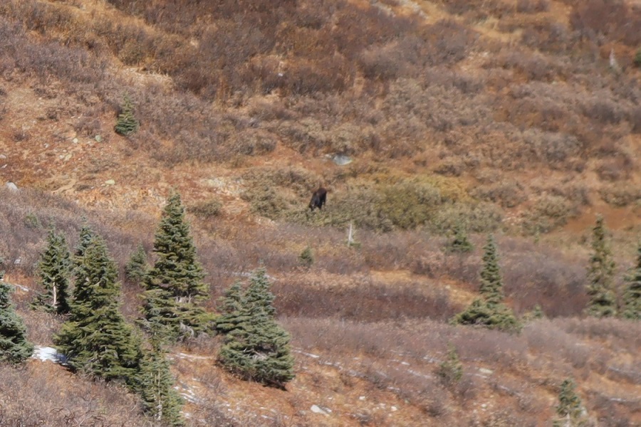
A bonus of turning back: I saw a mama moose and her calf feeding on the willows!  Although I tried I didn’t get a great picture of them, but I was able to watch them on my entire descent.  I’m sure they’d been there all morning (I’d followed their tracks, remember?) I just hadn’t been able to see them.  They never even glanced up at me:  they were too busy eating.

26

Oh, and that drainage with the dropoff was full of ice…

27

I backtracked on the trail for about a mile and just before making it back to the South Park area I turned left (west) and left the trail. Here’s the route I took

28

This drainage was full of a lot of large, loose boulders. Not the kind that would cause a rockslide, but the kind that would roll out from under you can cause you to twist your ankle.

29

After the rocks came tundra

30

And as I made my way up this area I crossed my fingers I wasn’t going to encounter a similar snow-filled bowl like I had on the other side. Luckily, this is what I saw as I ascended.  Woohoo!  More rocks!

31

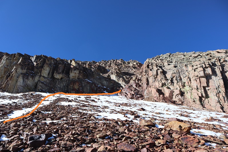
And just a little bit of avoidable ice. My goal here was to gain the ridge.  I knew I needed to head straight to the rock wall and then turn right (northeast) and ascend the ridge

32

All was going well until I made it to the rock wall.

33

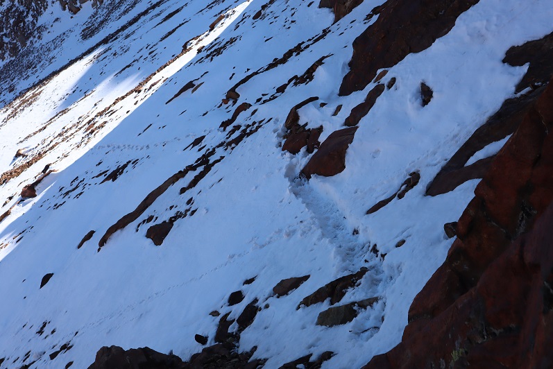
Here the snow became steep, and I had to get creative to stay safe. I made a small snow trench and shuffled my way to the gully.  Here are my tracks looking back.

34

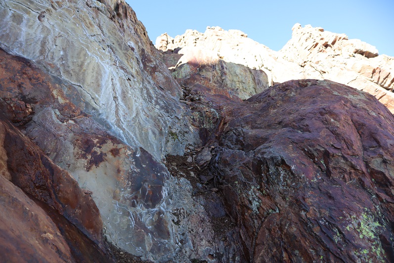
What I saw ahead of me made my heart sink: My (loose) beta told me to just ascend the gully to the ridge, and that this was a class 2 hike.  Let me tell you, this is NOT a class 2 gully, or even a class 3 gully (maybe class 3 in snow:  this would probably be an ok couloir climb).  I decided to take it one step at a time, dropped my trekking pole and headed up.

35

36

It started out class 3, but quickly the little bits of dirt and gravel that were there gave way to smooth rock. I was unable to find secure hand/footholds, and after about 70 feet of climbing I felt I was entering class 5 territory.  The rock here was smooth, and would have made a continuous slide in the rain.  If I slipped, there’d be nothing to stop me for over 100 feet.  Yes, I knew I could continue climbing up, but in no way did I feel confident climbing back down.  I should have had a helmet for what I was doing, and rope for rappelling back down.  Solo adventuring is dangerous, and I’ve promised a lot of people in my life if I felt in over my head I’d turn back.  This was one of those times.  I took a picture of the down climb

37

And one of the Grenadiers (fresh beta for tomorrow)

38

I slowly headed back down. I’d climbed much further up than I’d realized, and the down climb was much more difficult than I’d anticipated.  The entire time I was descending I kept telling myself what a good decision it had been to turn around:  this was scary insane!  Yes, it was a bit disappointing to turn back twice in one day, but I’d learned quite a lot about this mountain, and there’s still one more approach I know of I’m going to try next time.  Surprisingly, I wasn’t in a bad mood: failed attempts are all a part of the game.  In fact, I was elated when I made it back down the gully safely!  As a bonus, I now have a better idea of how I want to summit next time.  Here’s a look at the route I took back to the trail:

39

40

Once on the trail I decided to take the proper trail back down.

41

42

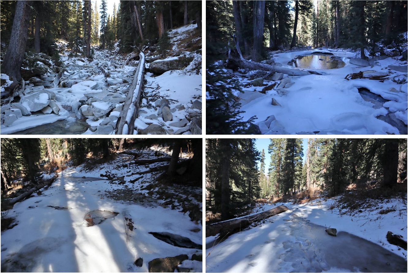
As stated earlier, there were no less than 3 icy creek crossings

43

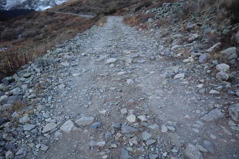
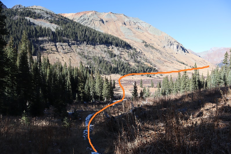
Back on the Rico/Silverton trail I had one more creek crossing and then a nice walk on a 4WD road back to my truck.

44

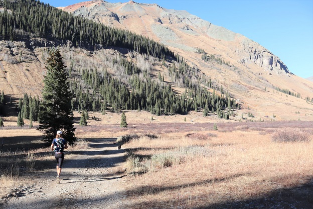
As I was walking along the road I was passed by trail runner, running with his dog. Trail runners always impress me, but this time I was doubly impressed: this guy runs with his CHIHUAHUA, and the dog LOVES it! They run every week, this time from Molas Pass to South Mineral Creek Campground. Has anyone heard of this guy? He had me take a picture of him and his dog with his cell phone (the dog posed happily) because he never sees anyone on the trails to take photos of them

45

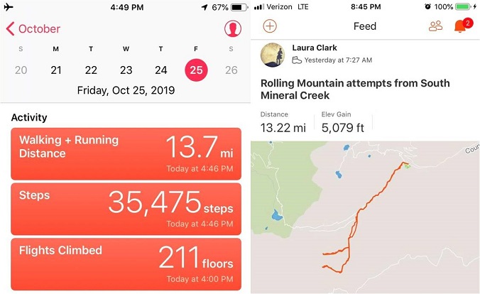
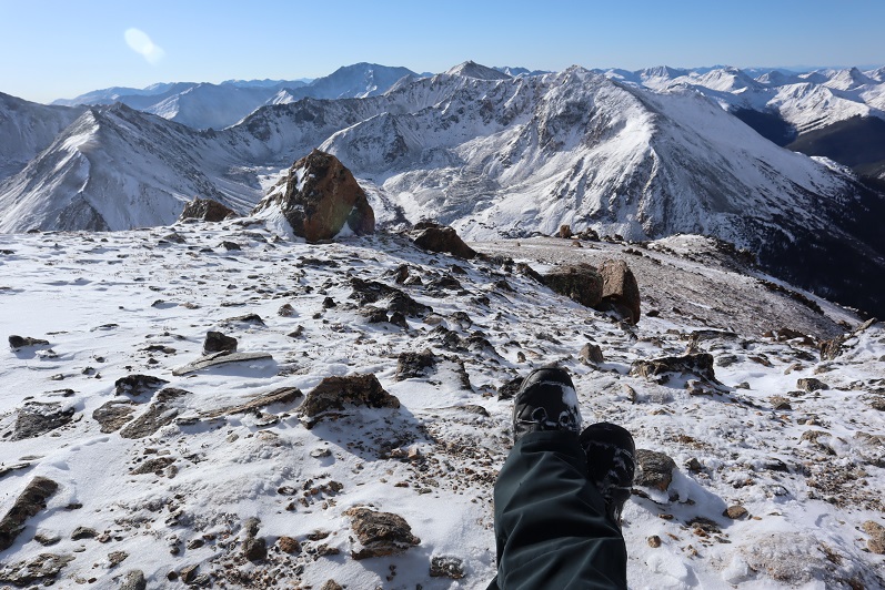
The entire way back I was surprised at how dry the Ice Lakes Basin seemed. It was too bad I hadn’t done much research on the other peaks I’d needed to hike in this area:  the conditions looked perfect!  I made it back to my truck at 4:30pm, making this a 13.5 mile hike with 5079’ of elevation gain in 9 hours (more than anticipated:  it felt like 8 miles).  Strava said my highest elevation reached was 13,172’.  Rolling Mountain is 13,693’

46

47

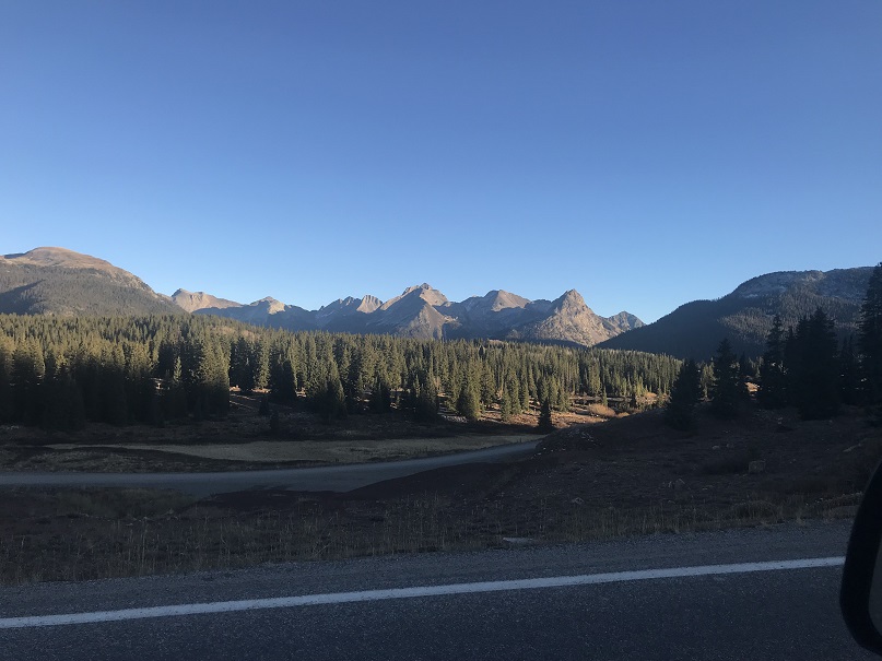
Back at the trailhead I re-braided my hair, changed my clothes and took a quick wet-wipe bath. Before long I was on my way to the next trailhead:  Molas Pass.  I drove up and got a good look at my options for tomorrow’s hike:

48

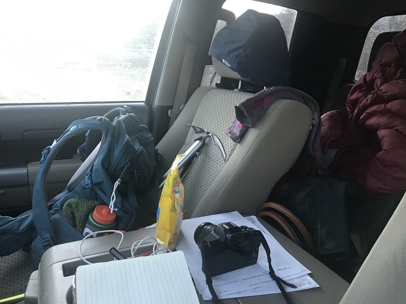
It looked to me like I didn’t need snowshoes or even traction (I’d bring traction anyway). As I sat there eating my dinner of tuna and crackers a vehicle pulled up next to me and a man and his dog got out.  They looked like they were going to be there for a while so I got out to say hi.  We got to talking, and I learned the man had recently completed the Colorado Trail after recovering from health related issues.  It had taken him 5 months (5 months!!!) and he had a new tattoo to commemorate the journey he proudly showed me, which incorporated Arrow, Vestal, and the Trinities.  We exchanged trail names (his was “Mosey” for obvious reasons).  The Colorado Trail has been calling my name lately, but I’ll most likely have to do it in weekend segments because I’ll never get the time off work to do it all at once.  He seemed appalled by this.  I told him I was sleeping in my truck and heading out early in the morning, to which he took as meaning I was homeless.  I assured him I wasn’t, just a dedicated outdoor enthusiast.  He called that hardcore.  After completing the CT he moved here from Bailey and just wanted to see the mountains again.  It was my goal to get to bed before 7pm so I politely excused myself, brushed my teeth, put Vaseline on my feet, and waited for him to leave so I could find an appropriate place to use the restroom.  I made a few notes in my hiking journal about the day’s events, had 2 (ok, 3) shots of whiskey, and took a look around me.  Yes, it did seem as if I lived in my truck (I swear I clean it up when I get home on Sundays)

49

I set my alarm for midnight and set up my bed (3 sleeping bags and a body pillow: it was supposed to be 23* here tonight).  I was still going back and forth on which peak(s) I’d hike in the morning, but figured I’d make the decision when I could see them up close.  As I’d learned today, even a little bit of snow on the trail can completely change your hiking plans.

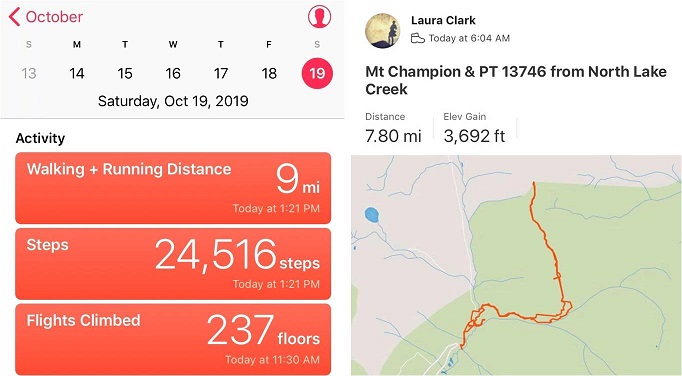
Mt Champion 13,645 & PT 13,736

1

RT Length: 8 miles

Elevation Gain: 3692’

I really wanted to get in this hike before they close Colorado 82 for the winter, and this weekend seemed like a great opportunity: The weather had a nice forecast so I decided to go for it.  I made it to the trailhead and was on the trail by 6am.   My truck was the only vehicle in the lot, and there was frost on the ground and glittering in the moonlight on the willows.  It had snowed 3-5 inches the night before and right now it was cold, cold, cold!

2

I’d just started out when I heard the loudest sound of tires screeching I’ve ever heard. I turned around and saw a truck’s headlights stopped in the distance.  In the dark the driver had missed the last turn before ascending up to Independence Pass and had driven about 40 feet off the road.  They were very lucky this part of the road was relatively flat!  I watched the truck as it backed up, stopped, backed up again, stopped, and backed up a third time to make it back to the road.  Once they were successfully on their way so was I.

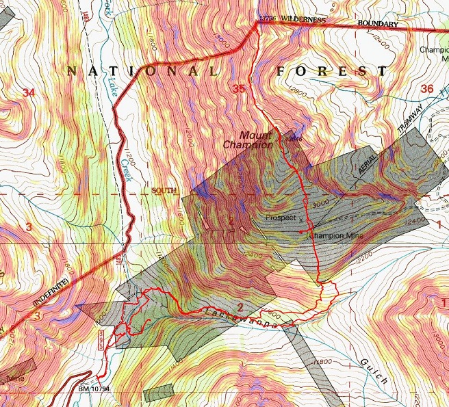
I’ve been in this area before and the instructions I’d put together said to follow Lackawanna Gulch. So I did, but I had difficulty with the frozen stream crossings.  The usual areas had more water than I’d expected so I had to walk up and down the banks of the creek to find a place to cross.  I didn’t feel comfortable taking off my boots and fording the stream with all that ice.  I ended up turning back and starting over again when I came to an area I didn’t recognize.  Yes, I’d been here before and I knew the way I was going would get me to the gulch, but I wasn’t headed the way I’d left instructions I said I was going, so I backtracked and crossed the creek again and headed northeast until I came across a cairn, which led me to another cairn and another and I knew I was on the correct trail.

3

4

The snow was fresh and I used my trekking pole to knock it off the trees when they were covering the path.

5

The sun started to rise and through the trees I could tell the views today were not going to disappoint.

6

The trail was faint but easy to follow, even in the snow, until I made it to the avalanche area.

7

Here the trail ended so I followed some fresh deer tracks through the debris and into the trees. Keeping the creek to my right I made my way west.

8

There are a bunch of game trails here, and they all lead in the correct direction. Just before making it to the creek again I found a cairn and turned left (north) and headed up Champion’s east ridge.

9

There was no trail here, or if there was it was covered in snow. I followed a steep rocky drainage up the slope and towards a mine.

10

11

Once at treeline the wind picked up a bit, but stayed at the forecasted 20-30mph. I made it to a 4WD road and decided to do some exploring of the Champion Mine as an excuse to get out of the wind for a bit.

12

There was old equipment littered about the area

13

I stayed here for about half an hour taking pictures. I didn’t spend too much time inside because in the wind it didn’t feel too stable.  There was a lot of creaking going on.  I headed back to the road and continued heading northeast up the side of Mt Champion.

14

15

This was by far the most difficult part of the hike for me. It wasn’t technical at all, but I haven’t hiked in snow for many months and I was using muscles in my calves and quads I haven’t used for a while.  I’d brought snowshoes and seriously considered putting them on, but in the end didn’t because I felt they would be overkill in such little snow and this was actually good conditioning for the months to come.  The snow was about 6-8 inches deep in its deepest spots, and at times there was bare dirt. I aimed for the ridge and followed it up.  Note: this is not the summit

16

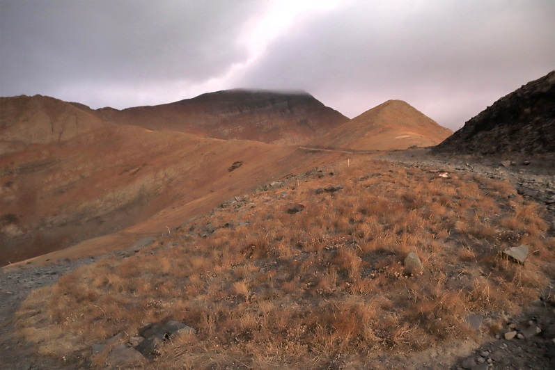
But it’s close. This is the true summit

17

The summit was marked with a cairn and summit register (which I didn’t touch).

18

I was surprised to find a cornice already beginning to form on the summit. Surprised because this was the first snowfall here of the season.

19

I was quite cold and debated heading over to PT 13,736: that last bit of elevation gain after the mine had worn me out!  Did I mention the views?  Absolutely amazing!!!

20

21

Of course I decided to continue on (I wasn’t that tired, just a bit out of hiking-in-snow shape).  The trek over to PT 13,736 is a straightforward scramble along the ridge

22

I had to be careful because some of the rocks were large and the spaces in-between them was often covered in snow and my feet could fall between the cracks if I wasn’t paying attention. I probably took more time on this ridge than it required, but I didn’t slip, fall, or twist an ankle.  Microspikes didn’t seem necessary, my boots provided enough traction here.

23

Once again, windy, but with the balaclava and hat it was tolerable

24

Here’s the last push to the summit

25

26

The summit was small and full of large, snow covered rocks.

27

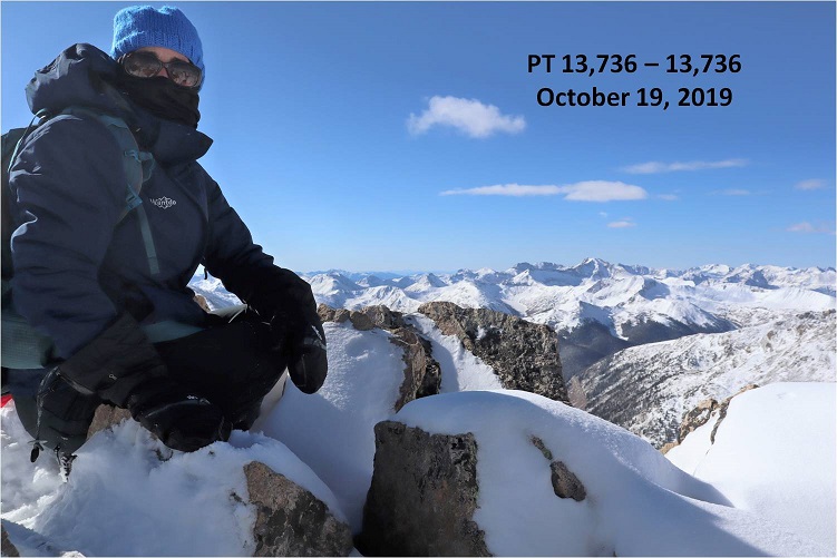
I set up my camera, sat on a snow covered rock and took 1 picture of myself. I was super glad when I got home and saw the picture turned out ok because it was the only one I took (logistics made it difficult to take a picture of myself on this summit).  I didn’t see a summit register, but it was probably buried under the rocks and snow.

28

The views from here were as equally amazing as from Mt Champion

29

Here’s the route back to Mt Champion, and the North Lake Creek trailhead is circled in red.

30

A short way down from the summit I met another hiker! I was very surprised to see anyone else out here today.  We talked for a short while, but I don’t do well standing still in the cold so I was probably a little quick to end the conversation.  He said he might be headed over to French Mountain after this, and had taken the road in.  I wished him luck and was on my way

31

Re-summiting Mt Champion was easier than I’d thought it would be: I wasn’t nearly so tired after taking the ridge. Heading back was a breeze as all I had to do was follow in my previous footsteps.

32

33

Here’s the route down from the summit of Mt Champion

34

By now the sun was warming up the snow and it was getting slippery, but I still didn’t feel I needed traction

35

36

I found the rock drainage again and followed it back down the mountain

37

I slipped here. Twice.  Turns out snow covering moss that’s still green is slippery when the sun warms it up.

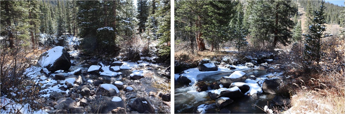
On my way out of the gulch I stayed higher in the trees than on my way in because I found a cairned trail. I followed it until it disappeared and then followed game trails to the avalanche area.

38

Where I linked up with the trail I’d followed in and followed it back out. The sun had already melted out a lot of the snow from this morning.

39

The creek crossing was much easier to navigate in the daylight and I found an easy place to cross

40

From here I could see the dirt road, so I aimed for it and followed it back to the trailhead.

41

I made it back to my truck at 1pm, making this an 8 mile hike with 3692’ in elevation gain in 7 hours. I was surprisingly but pleasantly sore from such little mileage/elevation gain.

42

43

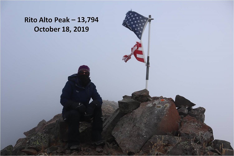
Rito Alto Peak – 13,794

1

RT Length: 9 miles

Elevation Gain: 2849’

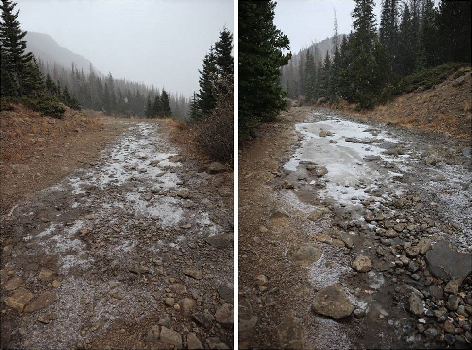
This was my second attempt of Rito Alto Peak, as the last time I was here I had to turn around due to downed trees and too much ice on the 4WD road in. The weather forecast for today showed heavy winds (70-80mph) overnight that would calm down to 30mph around 8am, and a 20% chance of snow between 1-3pm.  I wanted to summit 3 peaks today:  Rito Alto Peak, Hermit Peak, and Eureka Mountain, and I figured if I started around 6am I should be able to summit them all and avoid the weather in the morning and the afternoon.  Note:  most of these pictures have been lightened because it was darker than anticipated and the pictures didn’t turn out well.
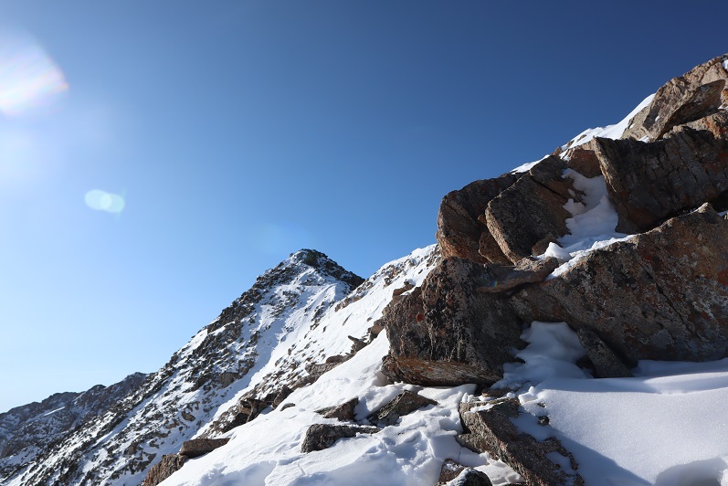
Let’s talk about Hermit Pass Road: It’s definitely a high-clearance 4WD road I wanted to drive when I wouldn’t need to pass another vehicle.  October after the leaves had fallen off the trees seemed like a good time.  It took me about 45 minutes to go the final 3 miles to where I parked around 11,300’.  My Tundra handled it just fine, but it’s not something I want to drive again.

2

The wind was howling and I was seriously worried a tree would fall in the road while I was hiking and block my drive out. Note to self:  time to put the axe and shovel in the back of the truck again.  At one point I saw a two person backpacking tent (set up) on the side of the road.  I thought to myself “Wow, they’re camping seriously close to the road.  Who would do that?” (I’ve done this before near a trail, but never on a road).  Then another gust of wind blew and the tent flew about 30 feet into the air and over my truck.  Hmmm… seems like someone lost a tent.

I parked around 11,300’ but my truck could have made it all the way to the top of the pass. There were a lot of camping areas along the road, but not many areas to pass another vehicle.

3

I parked my truck and got out my gear, glad to notice it seemed the wind had stopped. My GPS stated it was 3.6 miles further on this road to the pass. I started hiking along Hermit Pass road at 6am.  The stars were out in full force and there was only one small cloud in the sky, illuminated by the moon.  The road was no more fun to hike than it was to drive.  There are so many bowling ball sized rocks that you have to be careful where you step.  At least there wasn’t any route finding involved.

4

I made it to Horseshoe Lake just as the sun was beginning to rise. I could see a thin layer of ice on the lake.

5

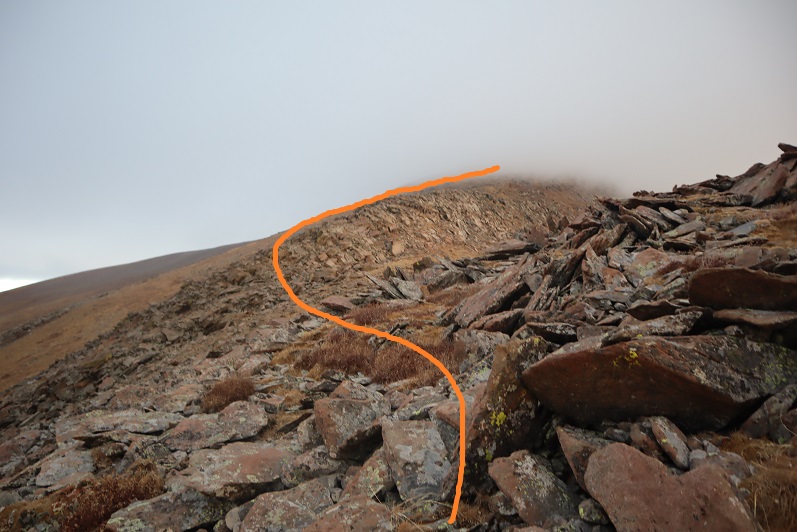
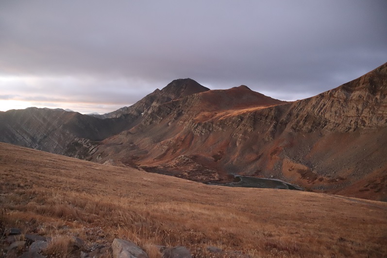
As I followed the road it curved around the hillside and up towards Hermit Pass. Here I got my first (and best) view of Rito Alto Peak.  The summit was in the clouds, but I figured by the time I made it there the fog would have lifted.

6

Once again, well defined road to the pass

7

Here’s looking back on the road from the top of the pass

8

Just before reaching the pass I left the road and climbed a rocky gully to reach the ridge.

9

Once on the ridge I looked to the west and assessed the weather situation. The wind picked up and it was pushing the fog towards me at an accelerated pace.  “Good” I thought.  “The wind should push the fog past me around the time I make it to the summit.”   Unfortunately, mountains make their own weather.
10

I turned northwest and headed up this rocky section

11

And onto the ridge

12

From here it was a simple class 2 ridge hike to the summit

13

Here is where the wind seriously started picking up, bringing the fog with it at an alarming pace. I could see it rushing up the mountainside towards me

14

I continued following the ridgeline as the fog turned into clouds

15

16

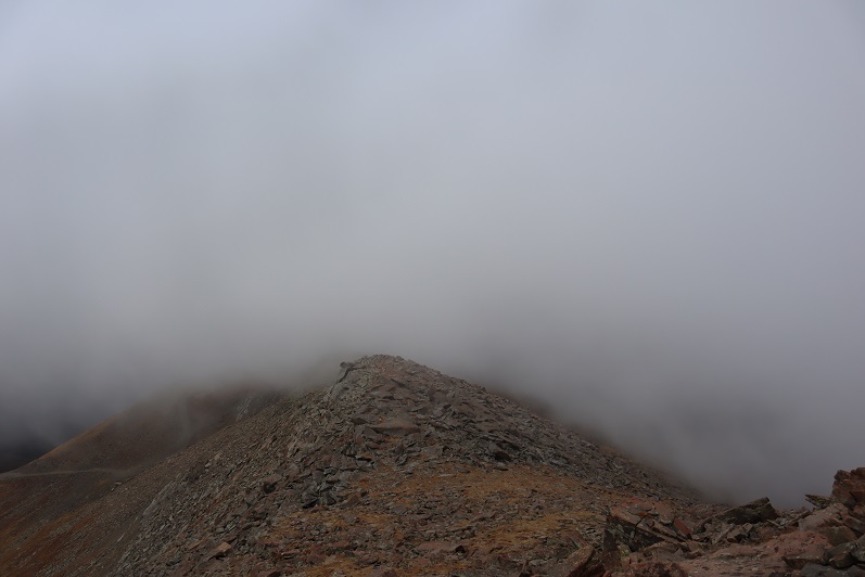
Now I could only see a few feet in front of me, and wondered how I’d know I’d made it to the summit?

17

That’s when I saw it: A flag and cairn in the distance!

18

I headed towards that flag and when I got there I dropped all my gear and took a photo

19

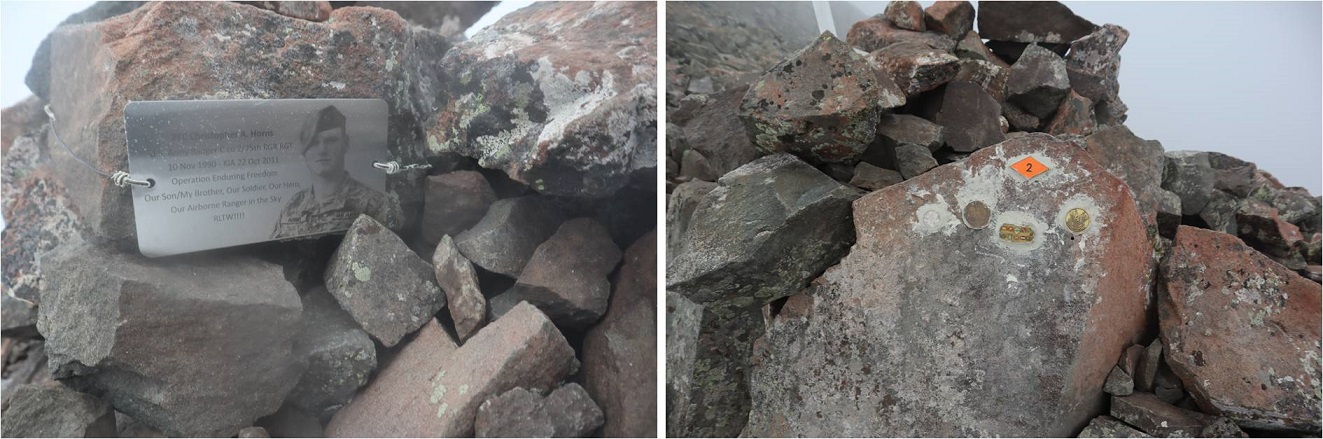
It was cold and that wind was brutal. I took some pictures of the memorial

20

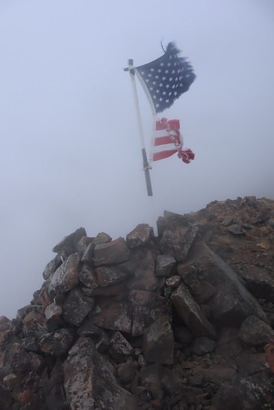
And was taking a picture of the flag again when I noticed it:

21

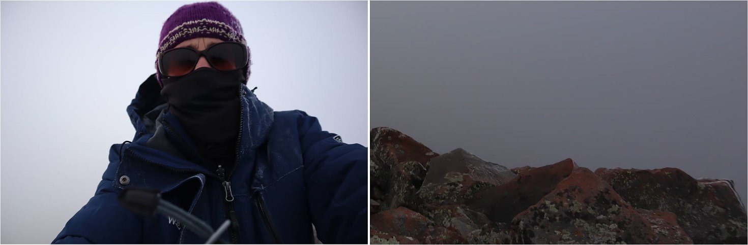
I wasn’t at the highpoint of Rito Alto Peak. The wind slowed down for a bit and I could see the terrain angled up ahead of me. Frustrated (why would the memorial be below the summit?)  I gathered my gear and continued north for a couple dozen yards in almost no visibility.  The rocks got larger and then I felt they were heading down.  I had no idea if I’d reached the summit because I couldn’t see anything.  I took a selfie (lightened for clarity) and a picture of the rocks (not lightened) and decided to head back down, hoping the clouds at this point would have cleared enough below for me to see my way to Hermit Peak.

22

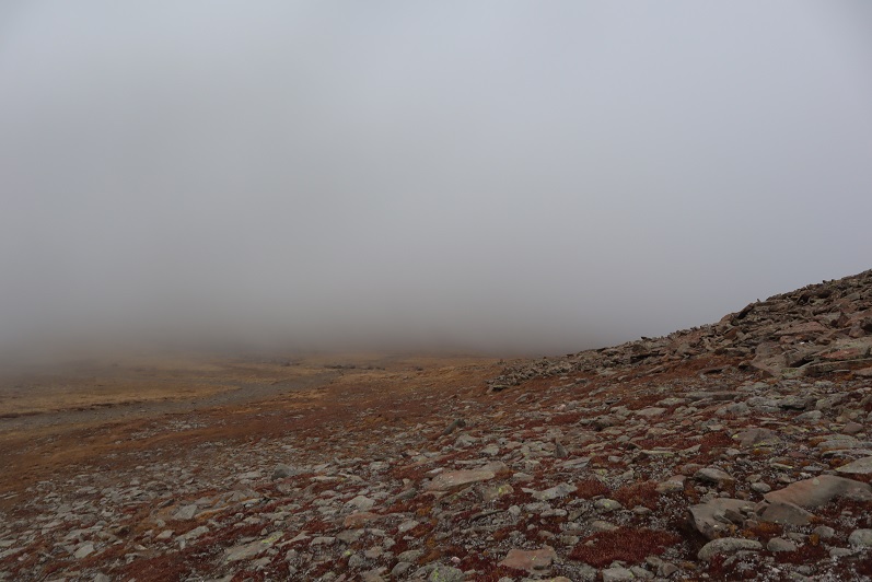
The clouds I expected to dissipate as I hiked down instead grew thicker and I had a hard time orienting myself because I couldn’t see any landmarks. I just kept aiming southeast, hoping I was following the ridge.  Every once in a while the wind would slow down and I could see a few yards ahead of me.

23

I was thrilled when I made it to a point where I could see the road again! It looked like this was where the clouds were at their lowest.

24

Foolishly I entertained the idea of waiting them out. I honestly expected the clouds to lift at any moment because weather wasn’t predicted until 1pm today (and then only a 20% chance). Instead of hiking down to the road I hiked straight to the pass, hoping to see Hermit Peak.  When I got to the pass I couldn’t see Hermit Peak, or much of anything really

25

I did see this…

26

Undeterred, I decided to hike to the road slowly. Maybe the clouds would lift in the next few minutes?

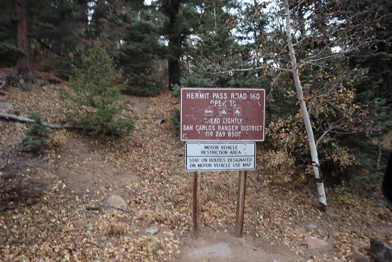
I found a sign saying “road closed” and a trail register

27

The clouds grew thicker. Argh!  I had all day to hike and I wasn’t even tired at this point.  I really wanted to summit Hermit Peak and Eureka Mountain today as well, but without visuals I didn’t want to continue on.  I also really didn’t want to come back for these peaks:  that 4WD road in had not been pleasant and I didn’t want to drive it again.  The weather was rapidly deteriorating.  I wasn’t worried about summiting the 2 other peaks, I was worried about the descent from Eureka back to the lake.  I’d had a good look at the route on the way in and in case the clouds didn’t lift (I still thought they would) it wasn’t a route I wanted to attempt with low visibility.

28

I wrestled with my decision for longer than I’d like to admit, and in the end chose to head back. This ended up being the correct choice:  The clouds continued to form and followed me down the road.

29

The clouds played tricks with my eyes: it was if I could see each tiny particle swirling around in the mist. It was beautiful to watch but caused me to blink my eyes every so often to refocus.  Visibility got a little better as I made my way back to Horseshoe Lake.

30

Here’s a look at the road back out

31

It kept getting colder and colder and then it started to snow. The snow was peaceful and nice to hike out with.

32

Yes, turning back had been the correct decision, but I felt a bit deflated because I didn’t get in as much elevation gain/mileage today as I’d hoped. Those clouds never lifted, they just got worse, and the snow had been quite unexpected this early in the day.  I made it back to my truck at 11am, well before the possible snow time of 1pm.  This was a 9 mile hike with 2849’ of elevation gain hiked in 5 hours.

33

34

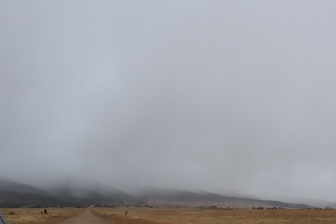
I kept apologizing to my truck on the drive down: I love my truck, and this road isn’t something you do to something you love. At this sign it’s 6.7 miles up to Hermit Pass.  I know I’ll be coming back to hike Hermit/Eureka, and I want to summit Rito Alto again at the same time so I can get better summit shots. Physically the hike really wasn’t very difficult from the pass.  Next time I think I’ll just park here and make it a long day (or possibly come in another way?).

35

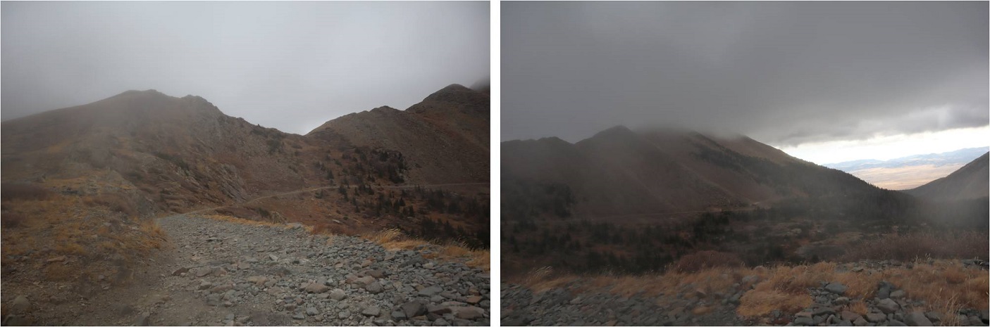
Here’s a look back at the weather on my way out. The snow didn’t stop for as long as I had the mountains in view.

36

For some reason I was under the impression the name of this peak was “Rio Alto Peak”. Maybe I just spelled it wrong in my notes the first time and never caught the error?  It wasn’t until I came home and looked at my log on a topo map that I realized my mistake.  Whoops!


Surprise Visit

When your Airman is stationed in Alaska but texts you to let you know he’ll be in Nevada for the weekend you use up all your airline miles and fly out to go see him!

1

Well, actually, at first I thought about driving out, but after doing the math realized if I did I would only have an hour to spend with him before I needed to drive back home, and that didn’t seem like enough time. So next I checked flights:  Hey, flights from Colorado Springs to Vegas are supposed to be cheap, right?

They’re not. Well, they might be if you make them a couple of months in advance, but since it was last minute I didn’t have a lot of options.  In the end I used up all my airline miles and still had to pay about $500 to fly Emily and I from Denver to Vegas (and back). Totally worth it!  The downside?  We had to leave at 3am for our flight in, and didn’t get back until 12am the next morning (and then I had to drive home from the airport and turn around and go to work).  We did get to spend a lot of time with Thomas though, and my mom and Tom drove out so we got to see them for a bit as well.

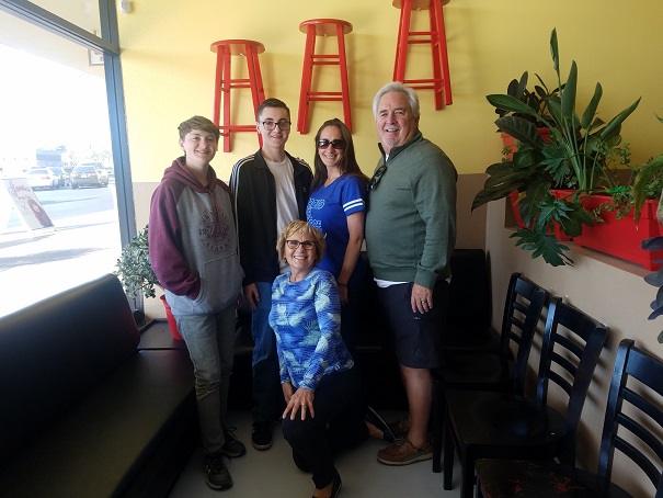
First stop (after picking up our rental vehicle) was breakfast. Mom and Tom were picking up Thomas and meeting us at Eggscellent, a breakfast restraint with the highest ratings online (we all loved our meals!)

2

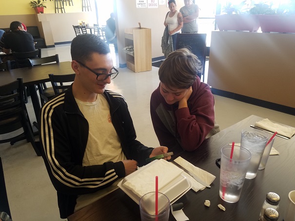
It’s weird seeing Thomas wearing glasses. Emily and Thomas spent a lot of time exchanging memes, but we got a lot of great conversation in with everyone as well.  Thomas loves his job, has made new friends, and likes living in Alaska (it’s a lot like Colorado…)

3

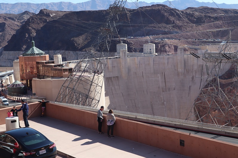
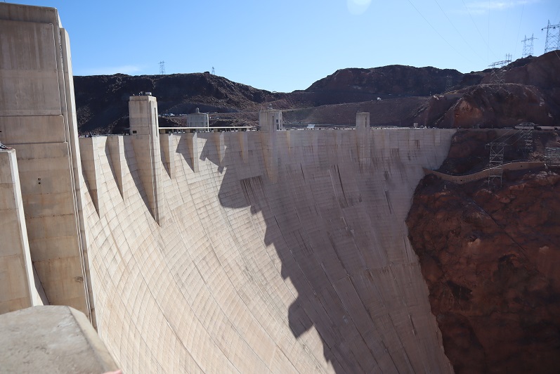
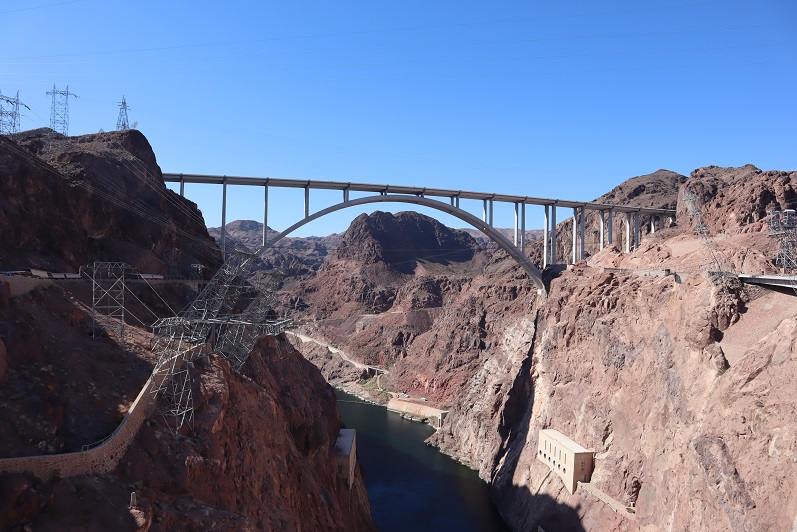
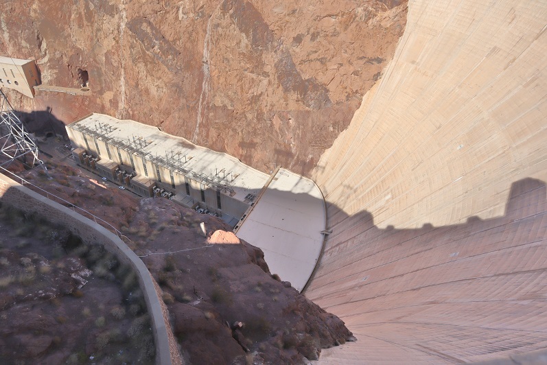
After breakfast Mom and Tom drove back to California, and I took the kids to the Hoover Dam. I’ve been all over the United States, with extra emphasis on the Southwest, and for some reason I’ve never been to the Hoover Dam.  I’m not sure why?  Most likely because I thought it would be underwhelming (it was).  We parked and decided to walk around for a bit…

4

5

6

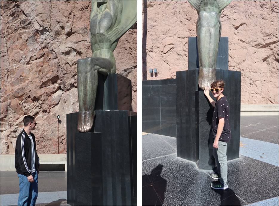
There was a dedication area that intrigued the kids: there were bronze statues and the entire walking area was a map of the stars that would indicate to celestial beings the exact time and date the dam had been constructed.  I thought this was a little self promoting, but realize it isn’t a new idea.  Touching the toes of the statue(s) was encouraged.

7

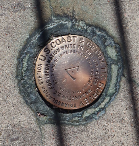
There was a summit marker here, which I appreciated.

8

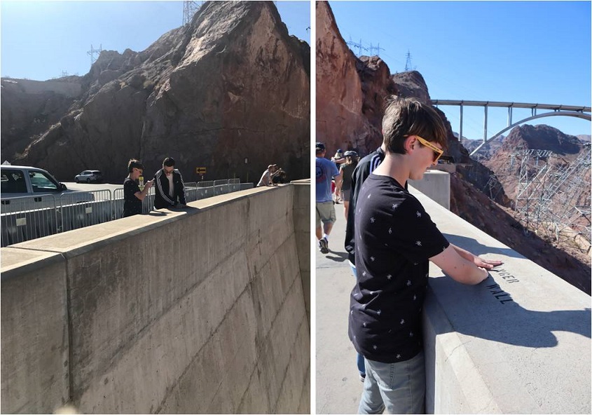
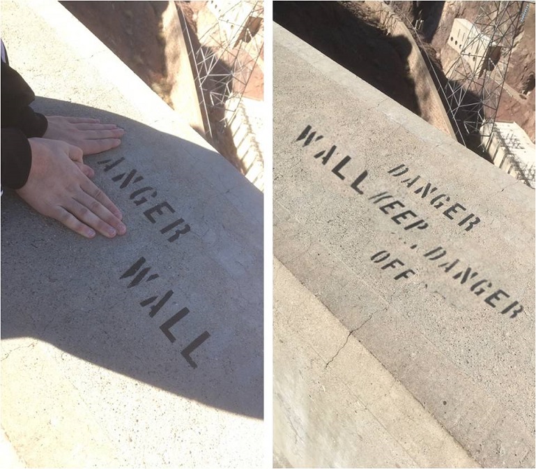
We crossed the bridge, and the ‘dam’ jokes began.

Don’t sit on the dam wall

Dam Tumbleweed

Dam fish

Dam birds

Dam boat

Dam tour

Dam project

Dam guard

Dam dog (yes, there’s an actual Dam dog that was portly because the 3500 workers all loved him and liked giving him treats)

(you get the idea)

The kids even started putting together memes…

9

10

11

There was a great joke made about Emily being in APUSH and Herbert Clark Hoover being the first president of the United States (don’t ask, but it was funny) and Thomas wished for a basketball to roll down the side of the dam (a dam basketball) to play physics games.

12

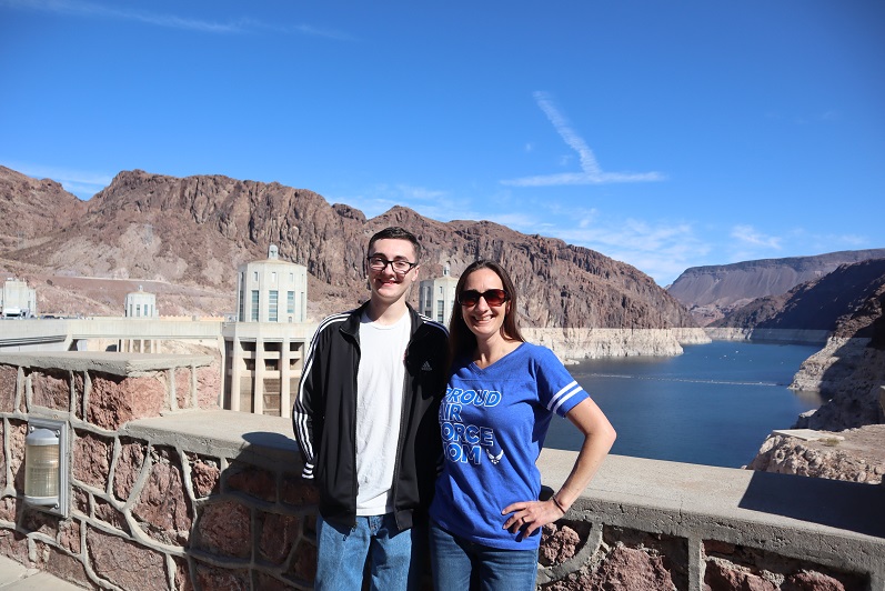
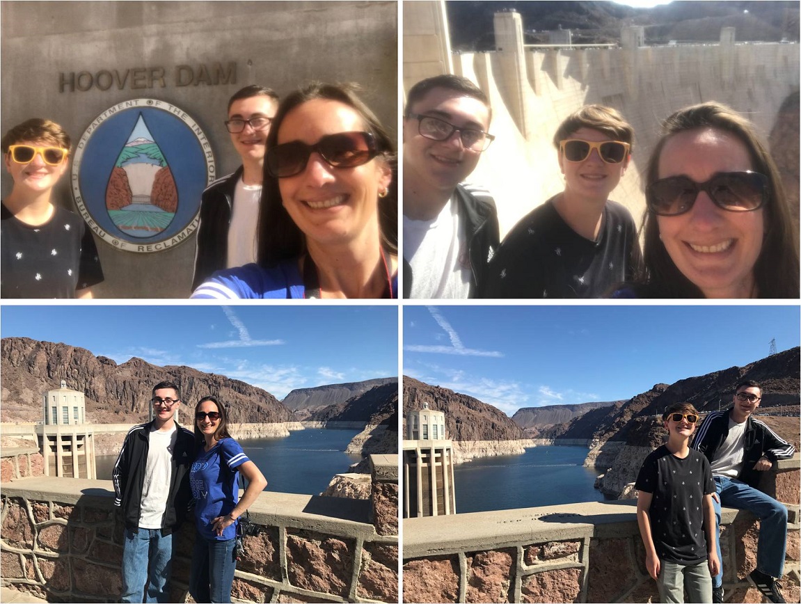
Of course we took some family photos (points to Thomas for taking as many photos as I asked for!)

13

Thomas asked me how the dam had been built and I didn’t know the answer (well, dam). It was getting warm so we decided to go to the visitor’s center to find out.  Admission included a 10 minute (dam) video, explaining how the dam was built:  They blasted huge holes in the mountain to divert the river, and then poured 3.25 million cubic yards of concrete to form the wall.  It was way more complicated than that, but that’s the gist.  It had some really bad grammar for a documentary (‘builded’ was one of the words used).  Also, they didn’t explain how they re-routed the river back?  All in all it was very (dam) educational, and the kids actually enjoyed the experience.  I’m glad they’re old enough to appreciate learning, even when the way it’s presented isn’t fun.  It was kind of cool being in both Arizona and Nevada and going back and forth between time zones.  The entire experience from parking to leaving took about an hour and a half.

Next we drove to Red Rock Canyon. I’d been told this was the place to adventure in the Las Vegas area and had high expectations. Apparently so did everyone else:  it took us 45 minutes to get through the admissions gate!  Thomas had a military pass that got us in for free (thanks Thomas!).  We decided to drive and look for some places to hike.  There were so many people there this was more difficult than it sounds.  The first three turnoffs held dozens of vehicles and they were all full, so we kept driving and looked for a less popular spot.  There wasn’t one, so I parked about a mile away from a trailhead and we walked along a dirt road that would take us to look at White Rock.

14

We were already tired when we made it to the trailhead, and everyone there said there wasn’t anything to see, it was just a ‘hike’ so we turned around and walked a mile back to the car, intent on hiking somewhere with a destination.

Petroglyph Wall sounded promising, so we drove there next. Once again, there wasn’t any parking, but I found if I waited long enough someone would leave. This was a short walk from the parking area to the site, with dozens of social trails we could take to get there.

15

The site had a few petroglyphs, and we’d been expecting… more.  They were blocked off and there were shrubs and bushes all around so there wasn’t a great view.

16

We are really spoiled with the petroglyphs we have at The Ranch , so the kids weren’t impressed here at all.  We took a few pictures and decided to go exploring

17

I went off trail and found a place we could boulder for a bit. The kids were against it at first (“Mom!  Don’t go off trail!”) but quickly followed, eager to boulder as well.  I found a really good spot with a few crumbling petroglyphs and called the kids up.

18

Thomas decided to bushwhack his way up and ended up tearing a 4 inch hole his shirt! He took it well but was disappointed since he really liked that shirt.  I told him we’d go shopping on the way back and get him another shirt (somewhere…).  In any event, bouldering was fun

19

On the brochure they gave us at the entrance gate there was a picture of some bighorn sheep petroglyphs, but no information on where they were in the park. It would have been fun to find them, but they looked really well preserved and I’m sure they weren’t in an ‘obvious’ place or they would be behind fencing (etc).  We now had a plan (Thomas needed a new shirt) so we left the park and went to a shopping area.

Thomas found a shirt and a pair of shorts at the first place, and Emily found a shirt at the second.   Satisfied we’d shopped enough for today we went in search of dinner.  The kids both wanted In n Out, so we found one close to Thomas’ hotel and went in.  There were so many people there (most in less than appropriate bathing suits).  The food was good though

20

There was an ‘In n Out store’ nextdoor and we had time so we decided to take a look. They had a bunch of In n Out merch (obviously) and while we were there Thomas decided to buy a shirt and hat:  his Halloween Costume is now taken care of.

Next we drove to the strip and parked as close as we could to Thomas’ hotel. It took us a while to find a parking spot, and the lot was intended for customers only so we went inside and bought a pack of gum for the flight home.  The security guard talked with us and said it was ok for us to park there while we walked around for a bit. We only had half an hour before we needed to leave.

None of us are big fans of Las Vegas. It’s just not our style, but that’s where his hotel was and Thomas wanted to see the Bellagio Water Show (his roommates weren’t interested).  It was a close walk, and the show went on every 30 minutes.

We found a TAC military store, which was great because Thomas’ initials are TAC

21

And of course took a picture by the Eiffel Tower and had to quote Gru: “We stole the Statue of Liberty – the small one, from Las Vegas! I won’t even mention the Eiffel Tower… also Vegas.”

22

We ended the day at the Bellagio water show, which was only 3 minutes long but a highlight of the day. The kids and I sat on the fence to watch it.  We were all impressed, and I’m sure Thomas will go again to see it before he leaves.

23

Goodbyes are always hard. We walked back to the car, Thomas gathered up all his gear (new clothes, costume, leftover cinnamon roll from breakfast) and we hugged goodbye, not sure when we’d see each other again.  It could be months or even years.  I need to find a way to get to Alaska to visit him…

My favorite part about the day was being together. I loved seeing the kids laughing and joking and having fun!

The flight home was uneventful. Emily and I both tried to sleep but that’s more difficult than it sounds on a plane.  Vegas is beautiful from far away

24

Emily had a lot of homework to do this weekend she wasn’t able to get done and she didn’t get a lot of sleep, but I believe bringing her to see her brother was more than justified: we may not see Thomas again for another few years and my kids are all best friends.  It was so cool seeing them interact together:  I only wish Rebecca could have made the trip as well.

When we got home Emily had tons of homework to do, but since it was 2am I told her to go to bed. The next day she was anxious because she had a lot of homework to catch up on.  I told her to explain to her teachers it was a last minute trip to see her brother who’s stationed in Alaska and who she might not see again for a few years.  She’s in honors classes and doesn’t think her teachers will buy it, but she’s also a good student and I think they’ll be lenient this one time…

25