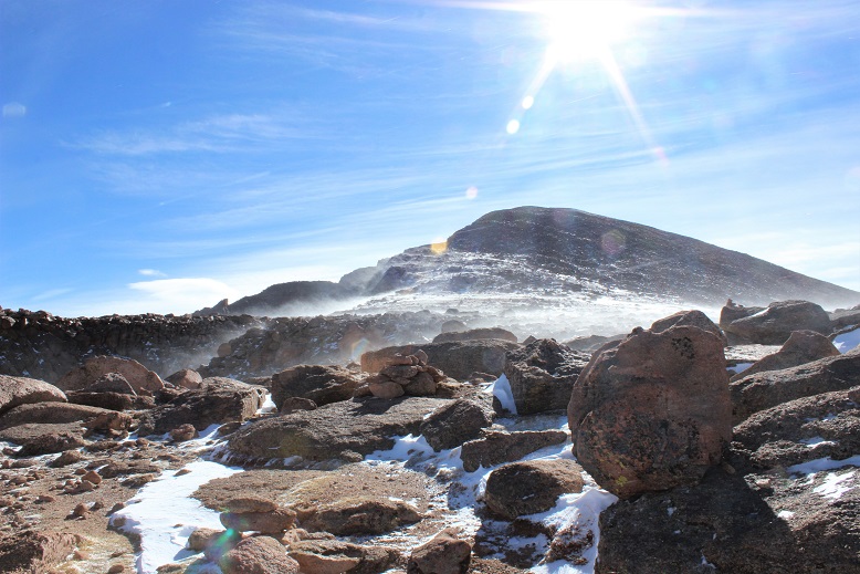
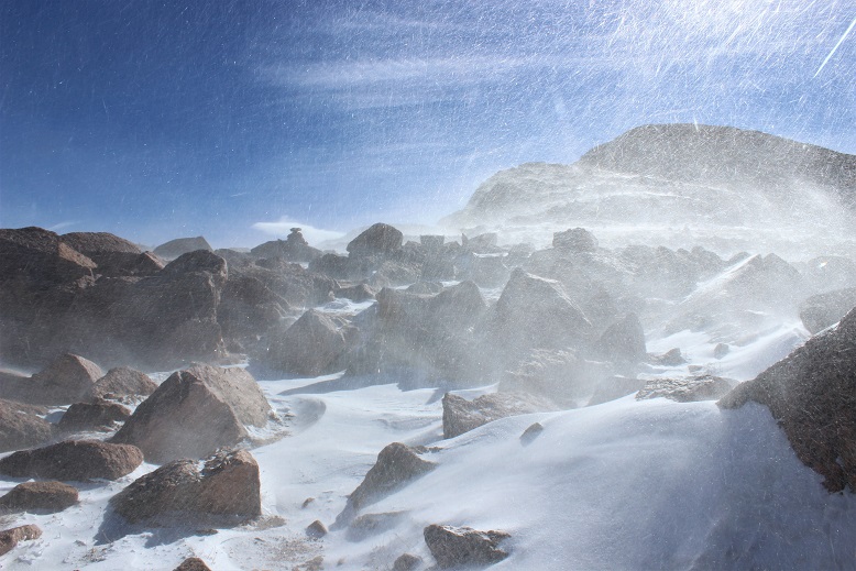
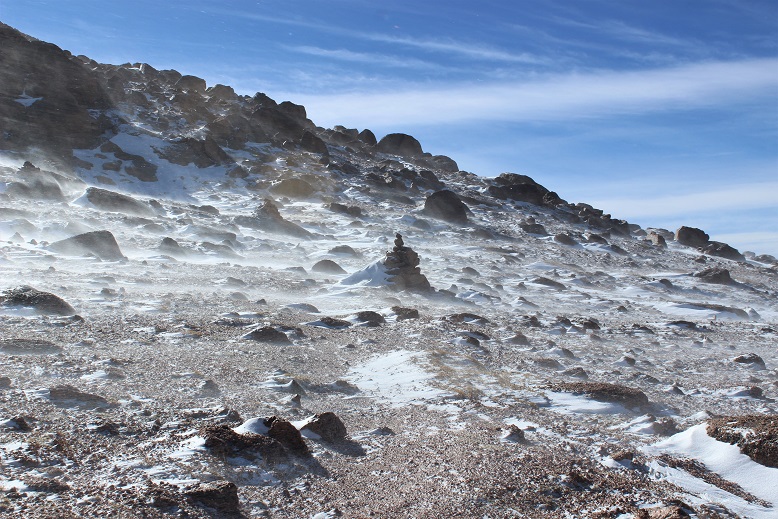
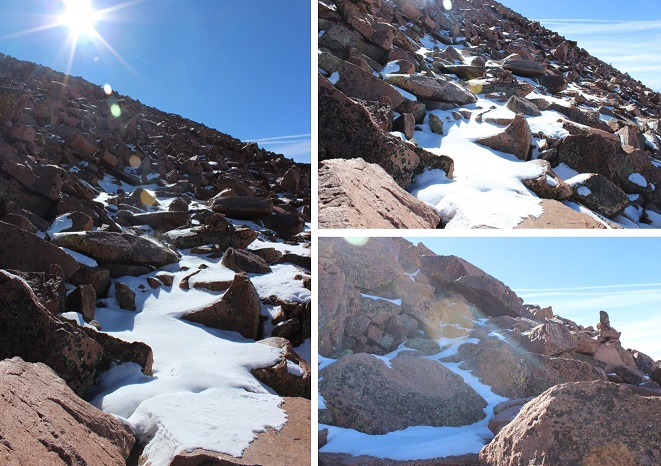
Mt Belford – 14,197, Mt Oxford 14,153

1RT Length: 11 miles

Elevation Gain: 5967’

I’ve been saving this hike as a practice hike for winter conditions, since the route is relatively straightforward and it has a 2WD trailhead. Unfortunately I don’t have much time in the winter to actually hike, so it had to wait until early spring.

I woke up at 3am and drove to the Missouri Gulch trailhead. There were a few easily manageable mud puddles to avoid, but nothing anyone would get stuck driving through.  I made it much faster than I thought, as I was honestly waiting for daylight for this hike.  After seeing a herd of elk on 390 I made it to the trailhead at 5:45am.  There was one other vehicle in the parking lot, and it looked like it hadn’t been there long (no frost on the windows, etc).  This would make my family happy, knowing there was someone else out on the trail today.  They hate that I hike alone.

I usually love hiking well before sunrise, but today for several reasons I decided to sit in my truck for a bit and wait:

  • I’m not a fan of hiking by graves in the dark. Does anyone else think it’s weird the baby’s grave is so far away from all the others? I mean, it’s across the street and up the hill and everything…
  • I really didn’t want to play ‘leapfrog’ with whoever was already hiking on the trail. I figured I’d give them some time to get far enough ahead of me so we wouldn’t need to pass each other/hike together the whole time.
  • I’ve heard reports there’s a mountain lion that frequents the area, and I’d rather not run into one in the dark. (side note: I’m not afraid of mountain lions, in fact I’d love to see one while hiking, I’d just rather it be in the daylight)
  • But seriously, that baby grave in the dark freaks me out.

I debated for a while which hiking boots to wear (my regular ones or my winter ones) and whether or not to bring my snowshoes. There wasn’t a recent conditions report in the past week or so, and the last one said none were needed.  I left the snowshoes in the truck and headed out at 6:15am in my snow boots and winter gear.  It was still dark.

I made it about .25 of a mile when something told me to turn around and go back and get those snowshoes. It’s tough to head back after you’ve already started, but the feeling was strong and I thought how mad I’d be at myself if I made it up the trail 3 or 4 miles and needed to turn back because I didn’t have the proper gear.  So I hiked back to my truck, pulled them out, and was on my way again.

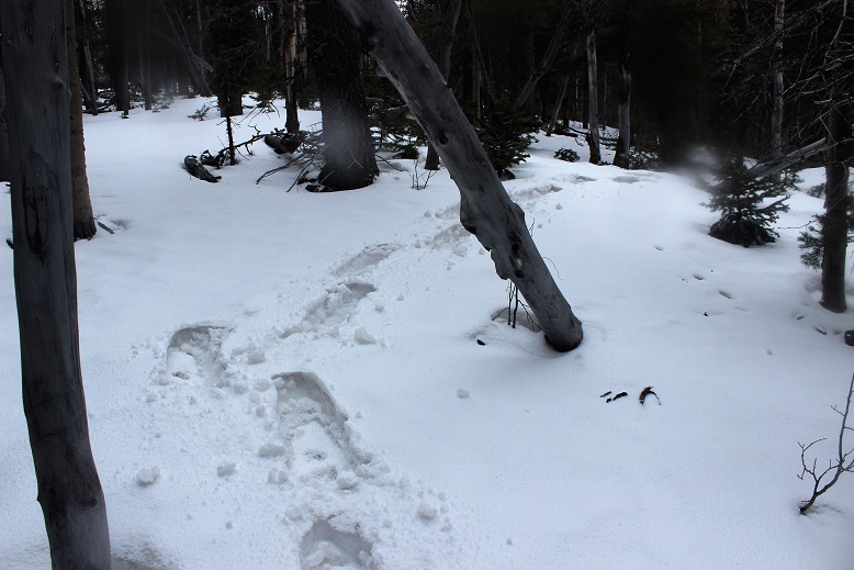
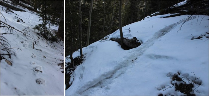
The trail was covered in slush that quickly turned to packed snow. As I looked on the ground I could see clearly defined mountain lion tracks (noted by size and lack of claw marks) on the trail.  Cool!  I also saw trails made in the snow that were obviously from a large animal (the mountain lion?) that detached from the main trail and went off into the hillside.  The tracks were going the opposite direction, but that didn’t stop me from looking all over for signs of animal life/more tracks.  After about 1.5 miles in the tracks disappeared.
2

20 minutes into my hike I passed the couple belonging to the truck. They didn’t look like they had snowshoes and I felt a bit foolish for carrying mine.  The trail was pretty hard packed here, and snowshoes didn’t seem necessary.  I briefly asked them if they’d seen the animal tracks, they had, and I was on my way.  I never saw them again.

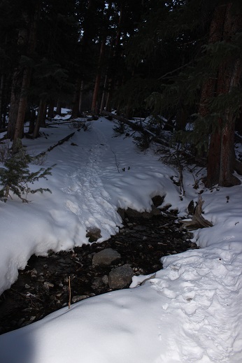
I crossed a small stream and decided the snow was thick enough to put on those snowshoes I’d been carrying.
3

The snow got thicker, but luckily others had been here in the past few days because there was a pretty good trench all the way to the cabin.
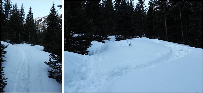
4 AM Trenches

I made it to the cabin much faster than I’d anticipated. I took this trail on my way to Missouri Mountain last summer, and from what I’d remembered it had been a long slog full of switchbacks. But for some reason today it didn’t seem to take me much time at all.  The cabin was surrounded in snow.
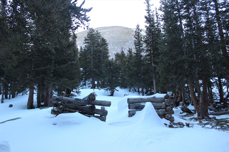
5

From here on out snowshoes were mandatory. There was no trail from the cabin through the willows/gulch area, so I had to make my own trail.  Luckily I kind of knew how the trail went, since I’d hiked this area before.  It was really cool to be breaking my own trail, and doing so successfully!  This was the first real time I’ve broken trail: I hiked Humboldt Friday and broke a little bit of trail, but mostly followed others’ tracks.  In fact, this was only the second time I’ve ever been snowshoeing, and I kind of liked it!  It was so cool to be 5 or more feet above the trail in the snow, traversing over willows instead of around them.   There was no way I could have done this a year ago, and I was proud of my route finding.

When I turned around I saw the alpine glow of the sunrise
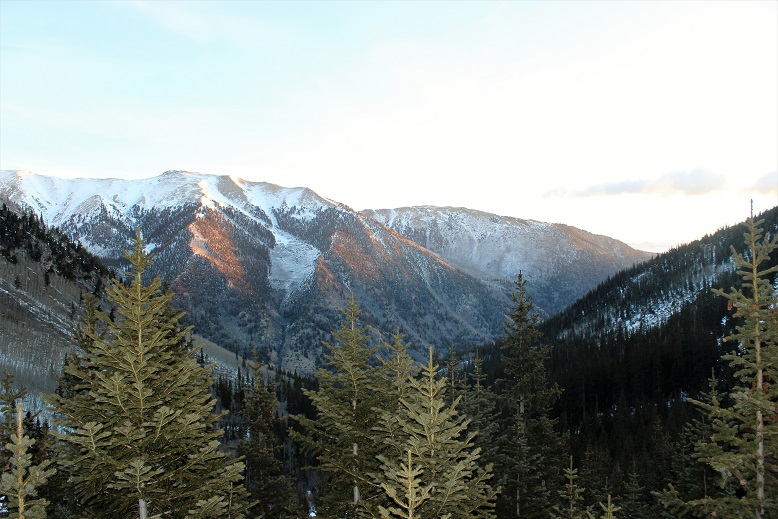
6

I stayed by the creek and headed towards the Elkhead Pass/Belford Summit Junction.
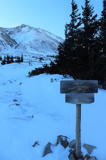
7

The sun was really starting to come up, and the view of Missouri Mountain was fantastic!
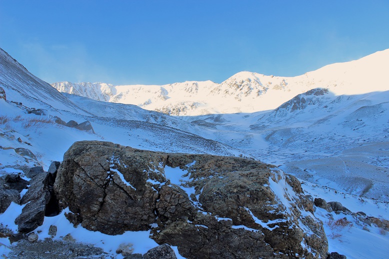
8

This is where the wind really started to pick up. It was relentless for the rest of the day, hovering around 35mph.  It looked like all that snow in the gulch was directly blown down from the mountains.

9

I looked at the route before me up Belford, and as I was ascending thought not for the first time how grateful I was to have gone back for those snowshoes.

10 Belford AM

The hike up Belford took forever. It just kept going and going and going up, up, and up.  And that wind!  Without the sunlight that wind was chilling.  I just kept moving, pretending it was the Manitou Incline, and trudged up that mountain wearing those snowshoes, breaking trail.

11

There were several false summits to Belford, which were a bit annoying but anticipated.
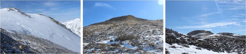
12 False Summits

Finally (and I mean finally, as I was exhausted) the real summit of Mt Belford came into view and I thought to myself: 4500’ in snowshoes for 4 miles was exhausting!
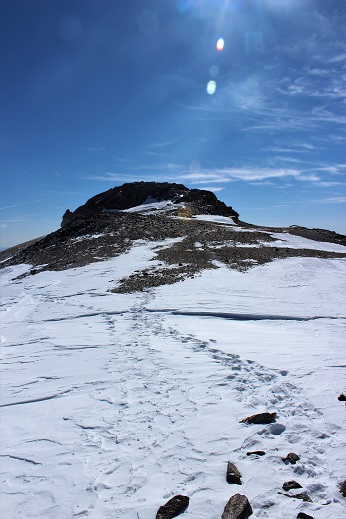
13

I was frozen, but set up my gorillapod and camera and took a summit photo.
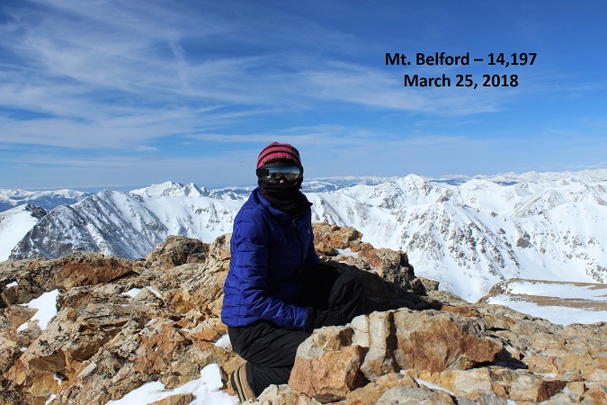
14 Belford

15

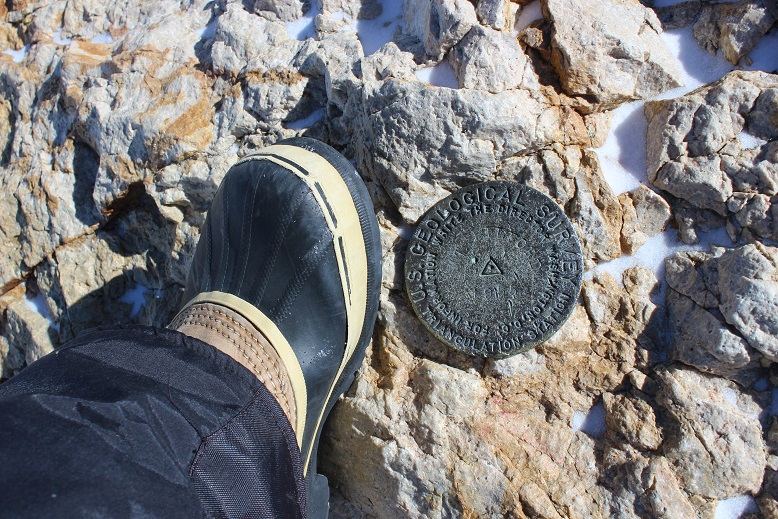
and just because it was there (they usually aren’t) a photo of the summit marker
16

I took a look around. The view was magnificent!!!

17

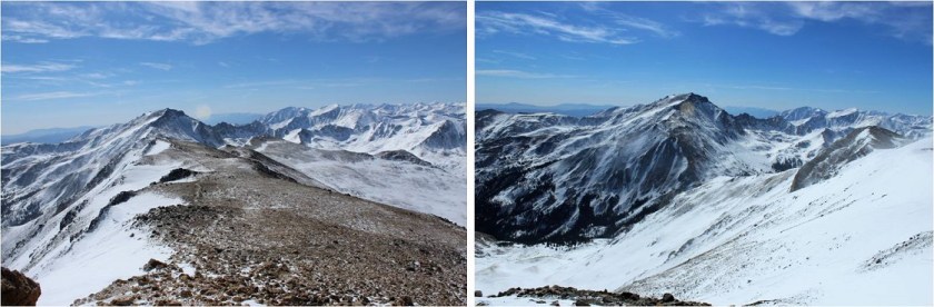
I didn’t take out my instructions/map, but remembered the route to Mt. Oxford would be clearly visible from this location. It was just 1.5 miles away. I followed the clearly defined path with my eyes and my jaw dropped.
18

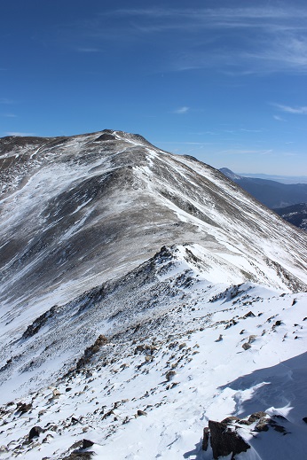
No way! There was no way I was doing that today in these conditions!  That’s when I took a closer look, realized I was looking at Mt. Harvard (which I’ve already hiked), breathed a sigh of relief and looked east.  There I saw the second summit I was after today:  Mt. Oxford.
19

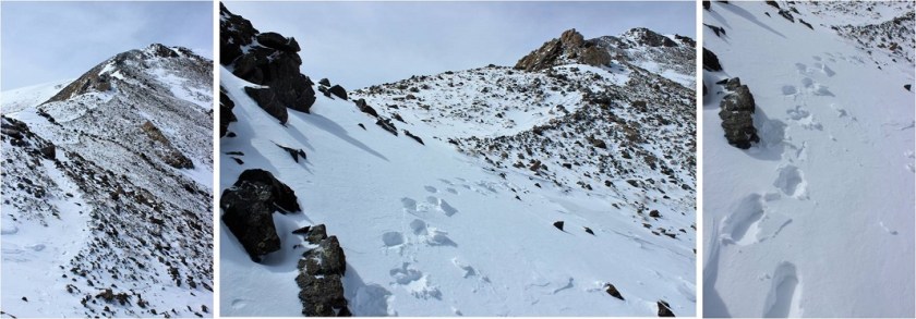
It looked doable in today’s conditions. That is until I made it to the ridge.  The ridge down from Belford to Oxford was covered in snow.  There weren’t any tracks to follow (either no one had taken this trail in the past few days or that relentless wind had covered the tracks with snow).  As with any hiking/climbing challenge, I don’t make a decision to hike/climb until I’m right up next to the obstacle.  I often find it’s easier than it looks when you’re up close.  I decided to just take this ridge one obstacle at a time, and if I felt uncomfortable gave myself permission to turn back.  This was supposed to be an easy winter 14er, so I should be able to do this, even in these conditions.

I looked for the areas with the least exposure and least snow, and began my descent. It was really cool making tracks!  I carefully made each foothold by drawing a line with my trekking pole and stamping it down with my boot, making sure I had a firm stance before traversing.
20 Making Tracks

It was more than I’d anticipated running into today, but nothing I couldn’t handle. Microspikes/snowshoes weren’t needed.

I made it down to the saddle and looked back up at Belford, and then up at Oxford. Wow.
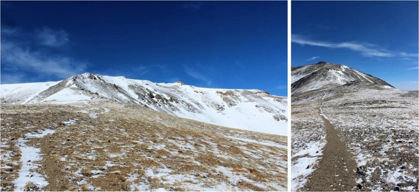
21 Back at Bel up at Ox

The saddle was dry and came with absolutely amazing views! I stowed my snowshoes and was off.

22 Saddle Views

To the north there was a small cornice that provided interesting views as well.
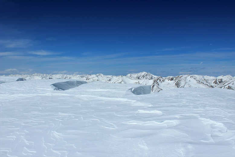
23

I looked ahead of me at the route up Oxford. Piece of cake.  And it was.
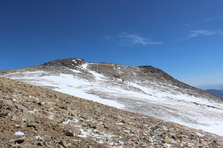
24

The summit was actually closer than I’d anticipated (the first outcropping, not the second). I took a summit photo.

25 Oxford

And another one of the summit marker (because it had one too!)

26

I turned around to see what I’d accomplished thus far today. What a view of Belford!
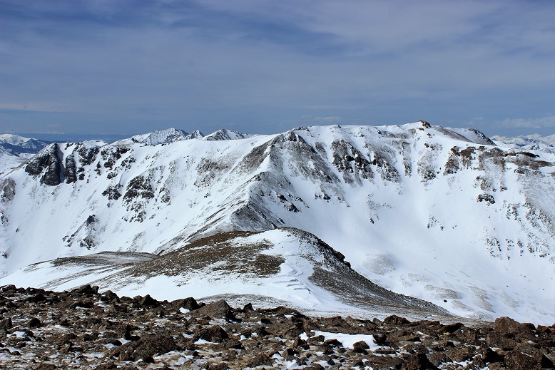
27

I started back, ready to tackle that ridge again head on, and this time uphill. I gathered my snowshoes and kept an eye on the weather, since it was supposed to snow after 3pm (it was currently around noon).  While all morning it had been windy and clear the clouds were now starting to form.  I hiked back up the ridge using the footsteps I’d made on my way down.  It took a while but I was successful!

At the summit of Belford the second time I stopped for a bit to really take in and enjoy the view. Since now the hardest part of the hike was behind me, I felt I could afford to rest for a bit.  I sat down at the summit marker and took a deep breath.

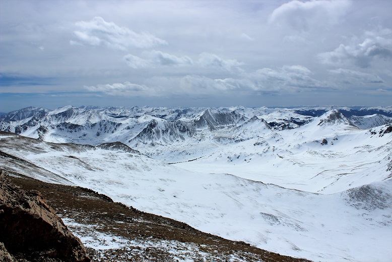
After a grueling and extremely windy 6000 feet in elevation gain in 6 miles (in snowshoes) I sat at the summit of Mt Belford, my 3rd 14er Peak today (out and back, so 2nd time here today). Suddenly the wind stopped and all was still. This is what I saw.

28 IMG_5026

Immediately tears came to my eyes. It was like God knew I was the only person in the world with this view and he wanted to show off just for me. I was absolutely mesmerized by the intense beauty before me. It’s the closest thing to a religious experience I’ve ever had.  All the hard work of the day and the frozen extremities that came with it was worth it!  I sat there for 5 minutes before he picked up the wind again and reminded me to get my butt off that mountain: a storms coming in.
29

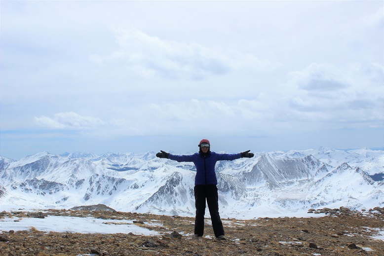
Of course I took another photo, trying and failing to capture the beauty around me.
30

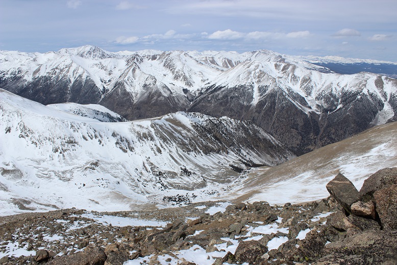
I walked over the summit and took a look at the rest of the route down to the gulch. It looked like the sun had melted some of that earlier snow.
31

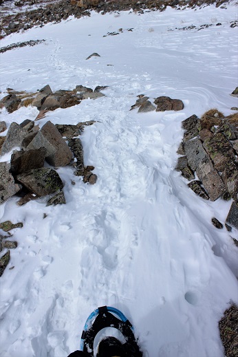
I was making good time, so I decided to have a little fun and use my remoteness from any other human being to practice some winter skills without embarrassment. Much of the earlier snow was gone, so I was able to safely practice glissading and running down the snow without worrying about sliding too far or out of control.  I did this for most of the hike back down, laughing as I went.
32

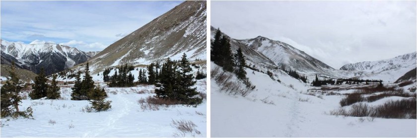
Back down at the gulch, this was my view back down towards the cabin and back up at the route I’d come. As you can see, clouds were just beginning to form for that storm anticipated for tonight.
33 Missouri Gulch Front and Back

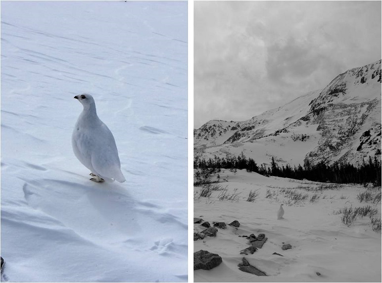
I put my snowshoes back on, crossed a frozen river of ice, and waiting for me on the other side was a ptarmigan. I knew he was a male because he had a red stripe over his eye.  He just stood there, looking at me, and then slowly turned towards Missouri Mountain and looked over his shoulder, as if he was beckoning me to follow.
34 Ptarmigan

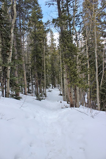
I took several pictures, thanked him for being so cooperative, and followed my snowshoe tracks back through the gulch and down the mountain. It looked like several people had actually hiked up to the gulch today, as around the cabin there were several new ski and snowshoe marks, but no people to be seen.  The trench was also a bit more compact than it had been earlier.
35

The hike back down seemed longer than the hike up, and I kept my snowshoes on for most of it. Somewhere along the way I lost my beanie which was unfortunate (I’ll make another one).  As I was nearing the end of my route I kept looking for signs of a mountain lion (nope) or any other form of wildlife (again, nope).  As I approached the area with the grave in the daylight I realized I was ‘told’ to get those snowshoes exactly as I passed the grave… Hmmm.

I crossed clear creek and my days hike was over.

36 Clear Creek

On my drive home I thought about the details of today’s hike, and how this is something I wouldn’t have been able to accomplish a year ago. I was glad I’d saved these ‘easy’ 14ers for winter-like conditions, as it allowed me to apply the knowledge I’ve learned thus far (snowshoeing, traversing ridges covered in snow), while giving me time to practice more intense skills in a safe environment (glissading, self arrest, running down a snow field).

Here are some summit videos. The views were amazing!

Video of Mt. Oxford –
Mt Humboldt – 14,064′ – Second Summit

1-17

Humboldt Peak – 14,064

9 miles RT (East Ridge)

5000’ Elevation Gain

I’ve been itching to do a 14er, but my schedule and the weather hasn’t been cooperating. My hiking days are typically Friday, and for some reason the weather in the high country’s great all week, but when Friday rolls around the temperatures drop, the winds picks up, and it starts to snow.

The weather didn’t look too great today, but I’d been following the weather surrounding Humboldt all week.  Humboldt is the only 14er (out of 35) I haven’t hiked solo, and to make this whole thing official I figured I’d try it from the winter (East Ridge) route since I took the West Ridge last time. The weather wasn’t great, but I had noticed in the past few days the predicted snow levels had gone down consistently (from 4-7 inches to 2-6 and finally down to 1-3) so that was a plus.  Unfortunately the wind levels were picking up (those rose to 55mph).  The temperatures hovered around the low 30s, which was great except that meant post-holing.

I didn’t need to summit today.  I’ve already summited this peak, so I figured I’d go into this as a learning experience.  Kind of a way to test my skills and see how far I could go without needing to commit to summiting.  I don’t have a ton of winter 14er experience and I wanted to see what a hike would be like in these conditions.  I could always turn back when I felt I’d had enough or if I didn’t feel safe.

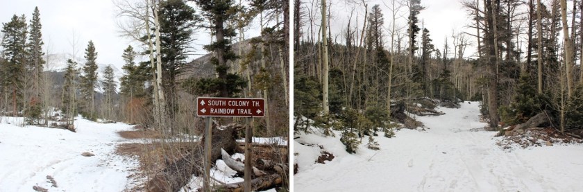
First of all, that drive to the trailhead:  Insane!  I have a Tundra, and that thing can handle a lot.  I’ve done the South Colony Lakes 4WD trail in early June, and it was nothing compared to this!  I put my truck in 4WD and tackled it head on.  I wouldn’t recommend it an any time of year if you don’t have a high clearance 4WD, but particularly not now when the trail was covered in ice and mud and slush, and in the dark it was difficult to tell which was which.  I’m pretty confident driving off road, but I’ve never done the whole off-roading in this much  ice/mud/slush before, so I didn’t want to push it too far.  I probably drove further than I should have, and parked about ¼ of a mile before the Rainbow Trail Trailhead.  There were no tire marks after this point (note: I took most of these pictures on the way back because it was snowing too hard or too dark to take pictures in the morning).

2

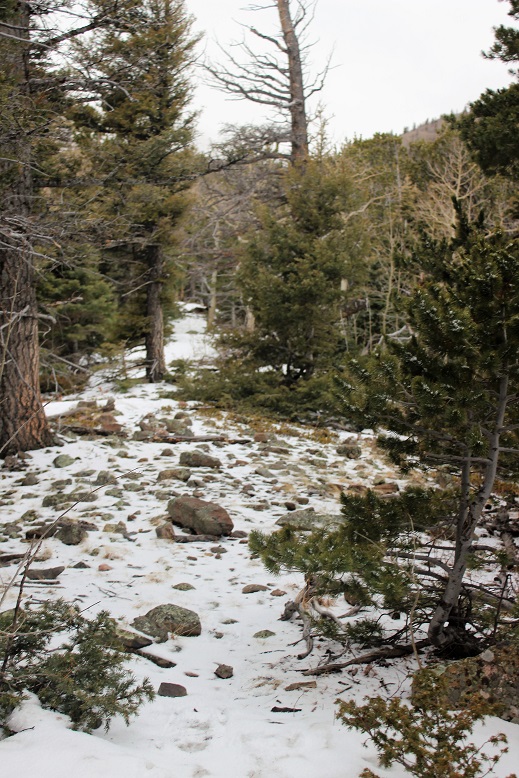
I started at 6:45am.  The trail at this point was pretty dry.  I crossed South Colony Creek and turned right.

3

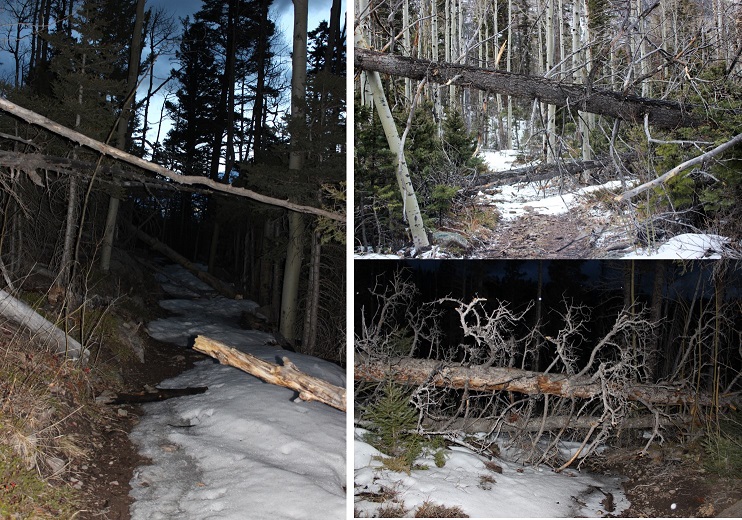
There were tons of downed trees on this trail!

4 Downed Trees

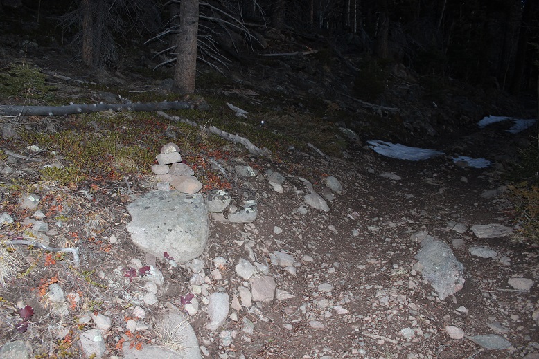
After hiking about a quarter mile I saw a cairn to the left.  It’s small, and you really have to be looking for it.  With more snow it’s most likely covered.

5 IMG_8600

This was my indication to start hiking northwest through the trees.  This is what that looked like.

6 IMG_8601

Obviously I wasn’t hiking this trail in “winter enough” like conditions.  I hiked up towards the ridge, and then followed the ridge southwest.

I was fighting putting on my snowshoes, but I was postholing.  Each step put my boot at least a foot under the snow, and finally I said enough is enough!  I’d paid for those snowshoes and hiked them in this far, I might as well put them on!  So I did.  Woot!  This was great!  I was still postholing, but only about 6 inches or so instead of a foot or more.

7

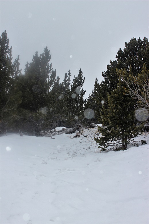
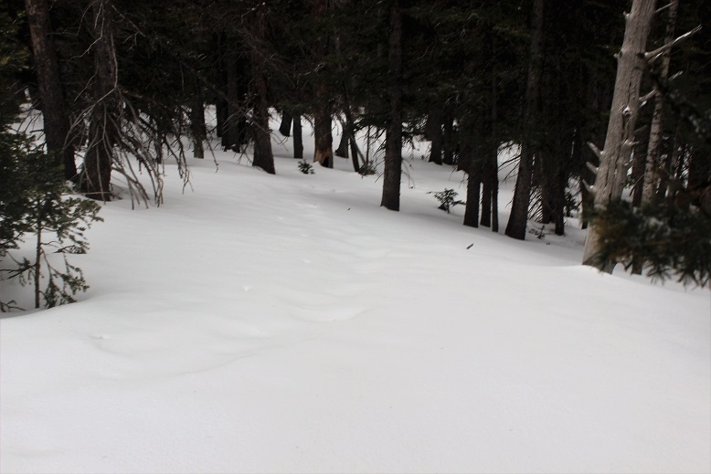
The snow on the ground got thicker and so did the snow falling.  I made sure to step extra hard into the snow so it’d be easy to find my tracks on the way back down.  I wasn’t necessarily breaking trail, but there wasn’t a clear trail to follow either.  The last tracks were old and most of them had been covered by snow or melted.  The snow was falling as predicted, but it wasn’t intense.  It was actually kind of nice because it wasn’t freezing out.  The snow cooled my face.

8

As I hit about 11,500’ the wind started picking up.  I headed west until I made it to treeline.  At this point the snow had been thick, but abruptly stopped here, so I took off those snowshoes and put on my balaclava and goggles.

9

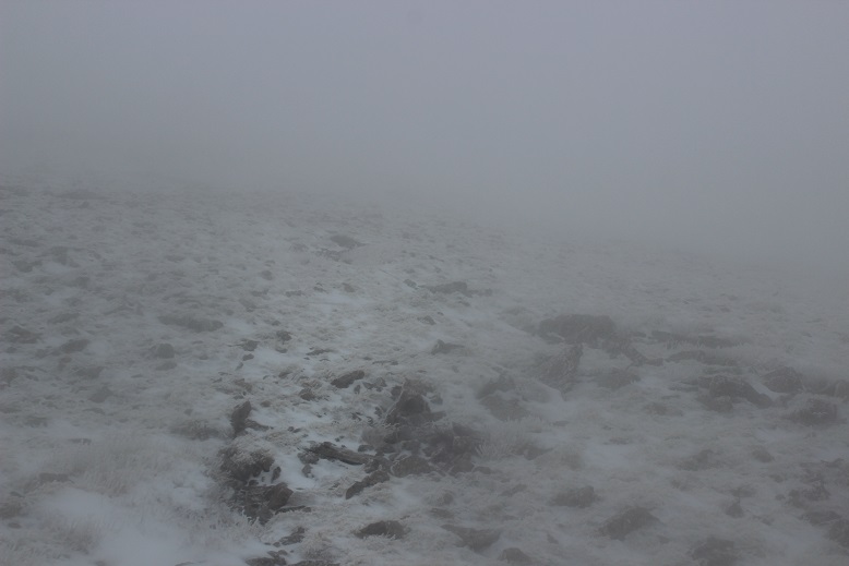
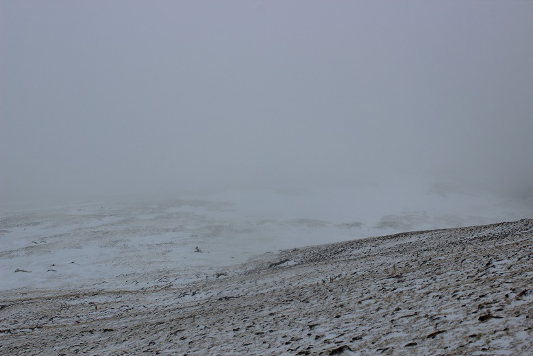
From treeline there was no direct route to the top: you’re supposed to make your own trail.  My directions said from here the rest of the route would be visible:  Just look for the peak and head towards it.  Um… not possible.  This was my view:

10

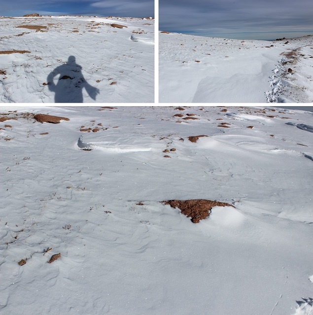
The wind was really insane here and there was no visibility.  Wind was blowing at a constant 35-40mph with many wind gusts (I’m guessing 55mph+, as predicted).  I could feel the wind gusts approaching.  After the second one knocked me down I decided to anticipate them and lie flat whenever I felt one approaching.

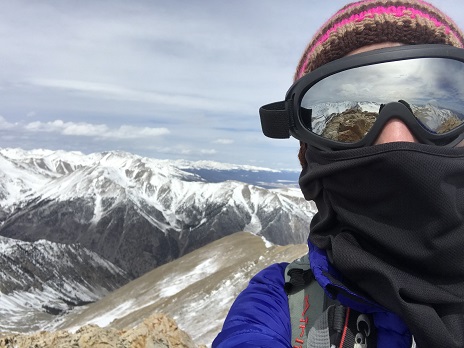
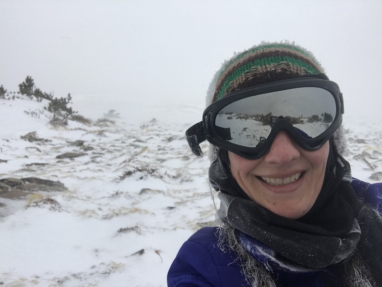
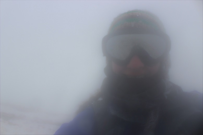
The only good part about those wind gusts was it cleared the visibility to about 50 feet in front of me for 2 or 3 seconds after it passed, so I’d hunker down, and then look up towards where I wanted to hike to see what was ahead of me.  I never was able to see the top of any mountain.  I took this selfie because I noticed everything about me was frozen and I thought that was pretty cool because I wasn’t that cold!

11

I couldn’t see where I was supposed to go, or even more than about 10 feet in front of me, so at this point I had a choice to make.  Turn around and head back, wait out the weather (it was supposed to clear around noon and it was about 9:30am) or pull out my map and compass and practice those orienteering skills I teach to others for situations like this. You can guess which one I chose.  (Note:  I should have turned back).

I headed northwest up the ridge, being careful not to get too close to the edge of the ridge and trying to stay away from large areas of snow (I used those as landmarks).  I kept trudging on, following the ridge.  I’m 95% sure I made it to the summit, because when I pulled out my phone and looked at the GPX file it said I was there.  You’d never guess though by the picture…

12

I went to get some pictures with my cell phone, and before I could do so noticed I was at 41% battery.  Time to head down.  Wait, 37%… 35%… 31%… all lost within about 10 seconds.  Argh!  No!!!  This was insane!  I turned off my phone and booked it down that ridge!  I have a lot of great survival skills, but knowing my phone was going this fast made me start to worry.  It’s like a safety blanket I didn’t want to lose. Yes, I know, I know, (I know!!!) but when it hits you as reality in these types of conditions your priorities change:  you really do want that phone to work!  (I’d left my portable charger in the truck because this was only a 9 mile hike:  never again!).

That ridge lasted forever.  Did I really hike all this way up?  It felt like it would never end, and without visually being able to see how much route I had left I kept checking my compass to make sure I was headed in the right direction and my altimeter to see how much further I should have to go.

13

I made it back down to where I’d exited treeline and looked for the snowshoe tracks I’d so carefully made.  They weren’t there.  Drat.  The wind had completely filled in those 6 inch post-holes with fresh snow! This is what I saw…

14

I quickly put on my snowshoes and started jogging as fast as I could carefully jog down.  I wanted to get off that mountain.  At this point the visibility was great… there just weren’t any tracks to follow.  I headed towards the ridge, and when I made it I breathed a sigh of relief!  Now all I had to do was follow the ridge until it ended and head southeast.

15

At this point my anxiety dropped because I could see where I was and I knew where I was headed.  But I was also exhausted!  I was wearing winter hiking boots, trudging through the snow in snowshoes that were postholing, and that wind took a lot out of me.  I haven’t been this tired at the end of a hike in a very long time.  And it wasn’t even that long of a hike!  I’d guess it was less than 9 miles total, but in those conditions, it was insane!

I noticed a small dam at the bridge…

16

I learned so much from todays hike. I really tested my abilities, and I’m proud I was able to use the skills I have to stay safe in a not so safe situation.  Also, I don’t think I’ll be purposely doing that again.  Anyway, I’m back at it!

Oh, and the weather cleared up as I headed back down.

1-17

Mt Rosa – 11,499′

1 Mt Rosa

RT Length:  12 miles

Elevation Gain:  4000’

I woke up late this morning.  My first alarm didn’t go off (the one set for 5 am so I could do yoga before my hike) but my second one did (the one set at 6:50am to wake up the kids).  I jumped out of bed, scrambled to get ready, and was out the door in about 10 minutes, sans yoga for the morning.

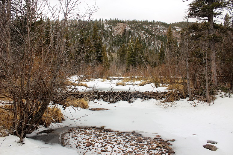
I made it to the North Cheyenne Canyon Trailhead just before 8am.  I met Dave there, and we started hiking around 8am, following Gold Camp Road until it intersected with the 624 St Mary’s Falls Trail.  The trail was clear of mud and snow, and followed an ice filled creek filled with small trout (4-5 inches long).

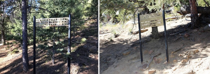
There were several metal signs along the way which indicated the correct direction to hike, but as with most metal signs, the mileage was way off.

2 Signs

We went right at the cutoff for St Mary’s Falls and continued up the 624 and over a frozen creek.  It looked slippery, but wasn’t dangerous enough to use spikes.

2-2

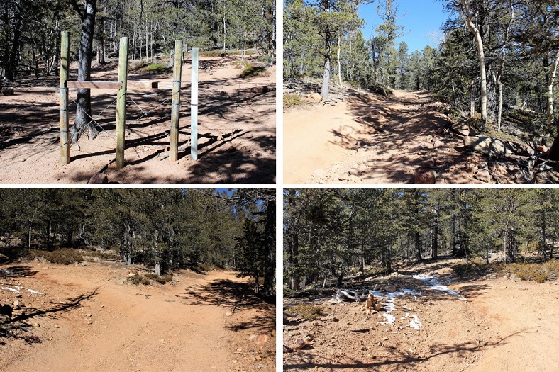
The trail winds up a ways, and eventually comes to a place where it looks like it ends, but it doesn’t.  Just pass through the gateway and continue a few yards to come to service road 381.  Take the road right (North) for another few yards and you’ll see cairns to the left that indicate the 672 or Nelsons Trail (Left/West).

3 Trail Directions

Unfortunately, the 672 trail marker is difficult to find, and not on the road.  It’s about 3 yards up from the road on the trail, hidden under a tree.  The cairns make this an easy trail to find however.

4 IMG_8567

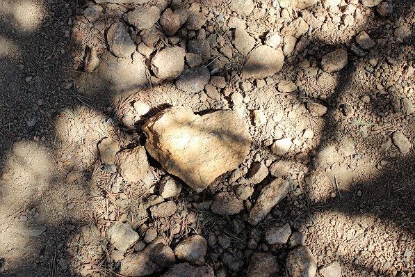
At this point the trail became steeper, so Dave and I separated for a bit.  As I was hiking I saw this cool heart shaped rock right in the middle of the trail.

5

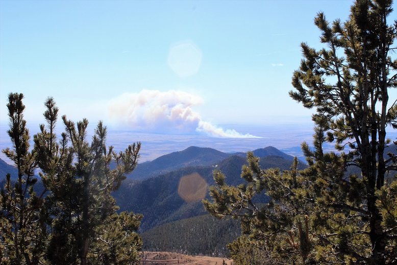
And I could see the fire burning on Ft. Carson

6 Fire 2

This part of the hike just flew by!  It was steep, but not too steep.

7 IMG_8568

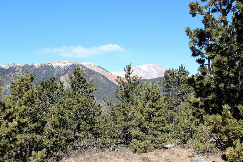
I love to hike inclines fast, and made it pretty quickly up to the top to enjoy the view of Almagre and Pikes Peak.  And to sit for a while and have lunch.

8 IMG_8574

The view was amazing, but it was incredibly windy!!!

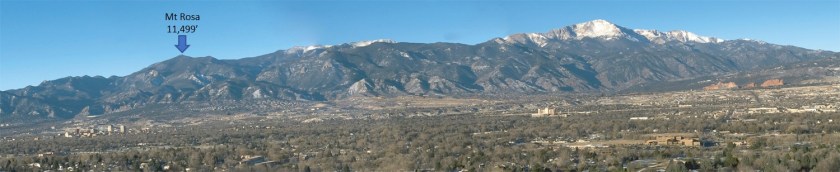
From my lunch spot I could see the rest of our hike.  That’s Mt. Rosa…

9 View of Mt Rosa

After about 20 minutes or so I was beginning to get really cold from sitting in one spot.  My sweat had turned to ice and I was losing feeling in my fingers, so I got up and hiked a bit more to the 672/673 junction.  The sign for the 673 had blown down, but still indicated which way to go.

10 673

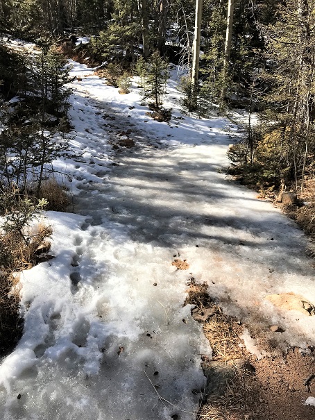
I stood behind some trees, using them as a wind break, and waited for my hiking buddy.  When he arrived we continued on the 673.  We passed a very windy saddle, and then had 500 feet of elevation left to go before reaching the summit of Mt. Rosa. From almost the beginning of this part of the trail it was entirely covered in snow.  It wasn’t enough snow/ice to put on microspikes, and we weren’t postholing too often, so our hiking boots did the trick.  There was a pretty good trench indicating the way up.

11 Snow On Trail

The wind increased and I got colder and colder, but instead of my hiking too far ahead we stayed closer together for this last part of the hike.

Summit photo of Dave and I!

12 IMG_4953

The views from the summit were amazing!  We could see Almagre, Pikes Peak, Ft. Carson, the Penrose-Rosemont Reservoir, and a bunch of Mountain Ranges:  The Wet Mountains, Spanish Peaks, Sangre de Cristos and Sawatch.


We didn’t stay long at the summit because that wind was INTENSE and cold!  When we finally made it back to the Nelsons Trail area I began to thaw out a little.  I could talk again and my fingers were burning, which meant the blood was rushing back into them.  Dave was unfairly quite warm and tried to help warm up my hands.  When we reached the frozen creek it had thawed out a little, giving us some traction as we crossed.

About halfway down towards St. Mary’s Falls I could take off my beanie and gloves, and the final part of the hike was pleasantly warm.  It had just been cold near/above treeline because of the wind.

We made it back around 2:30pm, making the 12 mile, 4000’ in elevation gain trek in 6.5 hours.

Here’s our out and back route:

15


Troop 2 Incline Hike

1

I didn’t want to embarrass Thomas, but I really wanted to hike the incline with him and Troop 2, so we came up with a plan: I’d drive us both there, and while the group was getting ready to hike I’d take off first and meet everyone at the top.  This way I didn’t embarrass the boys (who were slower hikers).  It’s never fun to be shown up by a mom!

We got there at 7:55am for an 8am hike. It was CROWDED!  I’ve never seen so many people there!  It was a nice day, and 8am on a weekend, so I’m sure that added to the popularity.  I usually hike the incline when it’s cold or very early in the morning on a Friday, so it isn’t very busy.  I can only imagine the insanity in the summer!

It seemed like it took forever for Troop 2 to get ready: Everyone had to assemble, use the restroom, make sure paperwork was done, apply sunscreen, use the restroom again, etc.  It was driving me mad, and eventually I said goodbye to Thomas and just started hiking.

My goal for today was not to stop: I could hike slow, but no stopping, just to see if I could make it to the top without stopping. About ¼ of the way up I heard trekking poles hitting the ground behind me.  Those poles eventually started making me crazy, so I let the guy with the poles pass. He was from Norway, and thanked me for setting a great pace. His intended goal was Barr Camp, and maybe Pikes Peak today.  He passed me for about 40 steps, and then I passed him again.  I hate to play leapfrog with other hikers, but luckily he never passed me again and I stayed in the lead.

I was able to hike to the top of the incline without stopping! I made excellent time, and just a few minutes after I summited I was surprised to see Thomas making his way up as well!

2

He summited in 38 minutes! That’s a great time for his first time up the incline!

3

The hard part came next: waiting for the rest of the troop to make it.  There was a lot of waiting!  About 10 minutes after Thomas made it Max summited, and about 20 minutes after that two of the younger boys made it to the top.  We waited almost 2 hours for the rest of the troop to summit.  That’s long enough I could have hiked the 3 miles down and hiked back up the incline before they made it to the top!  Oh well, I met a lot of fun people at the summit who were thrilled with their success (and tons of dogs too!  For a “no dogs allowed” hike I counted over 10 of them).

After the entire troop made it to the top I took a Troop 2 picture of the excited boys.

4

Thomas and Max had been waiting over an hour and a half, so as soon as the picture was done they sprinted down the Barr Trail. I followed after them (a few minutes after, so they wouldn’t be bothered with me) and ran the entire way down as well.  So that’s three firsts for me today:  Hiking the incline without stopping, hiking the incline with Thomas, and running the entire length of the Barr Trail back down to the parking lot.

All in all, a successful morning!

Red Rock Open Space to Palmer Loop

1

9.5 miles

2000’ elevation gain (approximate)

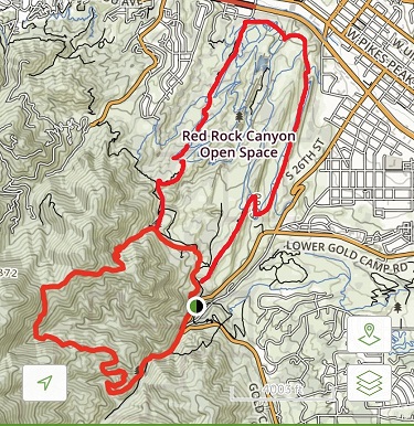
Today the weather was absolutely beautiful, but I had limited time (Cookie Booth at 2pm). I met up with Dave at the Red Rock Open Space North Lot for a hike through Red Rock Open Space and the Palmer Loop. I’ve hiked Red Rock Open space several times, usually sticking to the Quarry Trail.  I knew it connected with Section 16 trails, but I wasn’t sure exactly how.

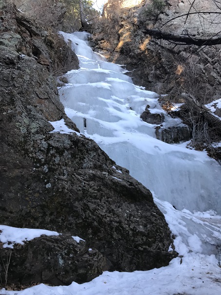
We started on the Mesa Trail, and took it to the Intenman / Section 16 trail connection. From there we followed the Palmer Loop for 5.5 miles, diverting only once to take the Waterfall Trail (out and back).  The waterfall was completely frozen.  I love frozen waterfalls!

2

The Loop eventually connected with Lower Gold Camp Road, which I found very interesting. I’ve been meaning to explore Gold Camp Road for some time now.  We only hiked a small portion of the road, so I’ll need to come back to explore more.  It’s fun how you can hike for miles and miles, only to end up on a road and near a parking lot, then get back on the trail to head back to the parking lot you originally parked in.  I feel more familiar with the ‘other’ Red Rock Open Space and Section 16 trailheads.

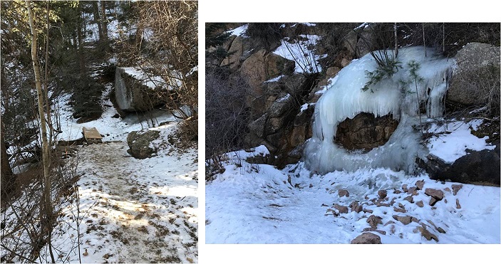
Parts of the trail (those in the sun) were completely dry and warm, which made for lovely hiking. Other parts, however, were in canyons and covered in shade.  Those areas were icy, slippery, and very cold.  Beautiful though!

3

The final part of the trail took us on a hill with great views of Colorado Springs (and the landfill…)

We started at 7am and were done at 11am.

Heizer Trail to Barr Trail

1

UPDATED for 2021

RT Length: 15 miles

Elevation Gain: 4300’

I hiked part of the Heizer trail earlier this year when I was a bit rushed for time, so today I decided to hike it all the way to the Barr Trail.

I parked just outside of Cascade Park (the ONLY place you’re allowed to park to hike this trail).

2

And began by walking down the street and up the hill to the left. Once at the top of the driveway, the trail starts to the left.

3

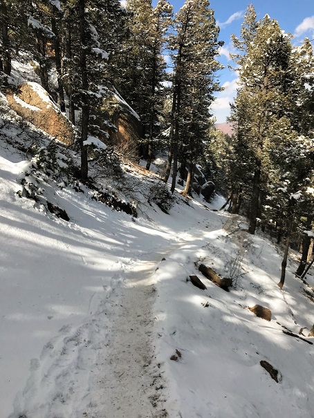
I began at 7am.  The trail conditions varied from completely clear, to covered in snow, to covered in ice.  I never needed microspikes, but they would have come in handy crossing a couple of small streams (I had them but didn’t want to take the time to put them on:  I just looked for a safer route and slipped a lot but never fell).

4 Trail Conditions

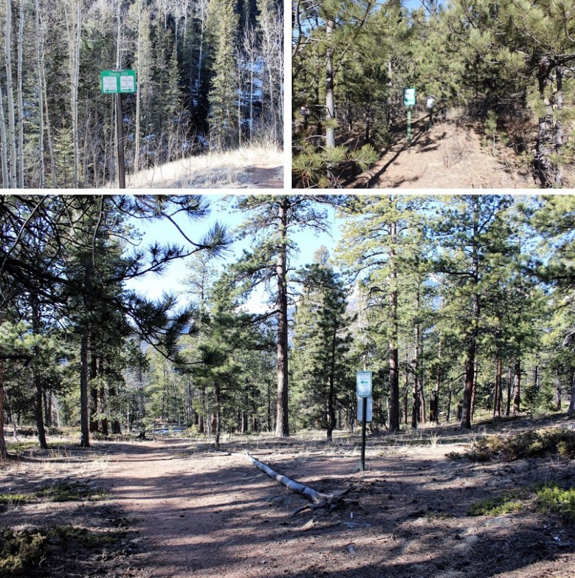
The trail had awesome signs indicating which trails were which.  I LOVE these kinds of signs!  There was no ambiguity:  I could have hiked this route without a topo map.

5

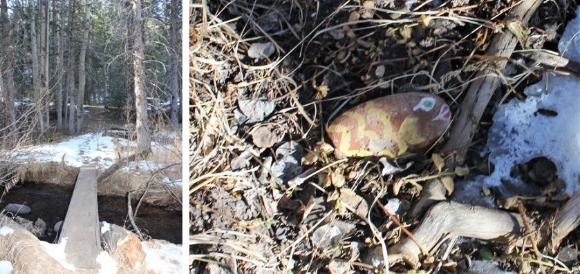
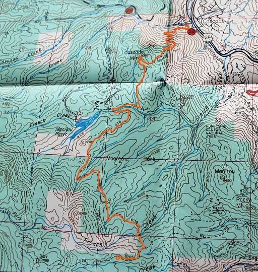
I hiked up the Heizer Trail, over Cascade Mountain (9387’) and down to the Manitou Reservoir and Trail 638.  This is where I lost about 2000’ in elevation (to be gained again on the way back).  There were tons of signs letting me know I was in a watershed area and to hike off trail.  From here I crossed French Creek and saw a rock painted like a fish.  I’m assuming this part of the creek usually has more water…

6

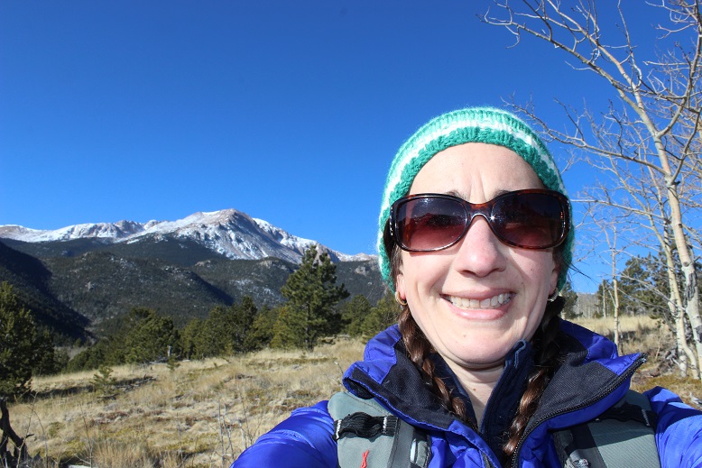
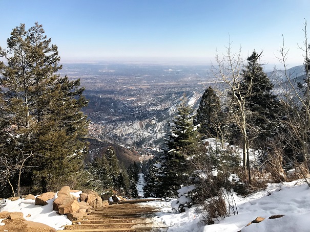
Shortly after crossing French Creek I came to some amazing views of Pikes Peak!  It’s wonderful how many different views this mountain offers!

7

The view never gets old!

8

From here signs indicated it was another 2.5 miles to Barr Trail, but it seemed much, much longer than that.  I got in a lot of good thinking.  After what seemed like forever I was deposited onto the Barr Trail.  Here:

9

Immediately I thought: NO WAY!!!  This CANNOT be where I’m supposed to end up?  I thought I was supposed to connect close to Barr Camp, and I knew just by looking at where I was it was still miles away!  I decided to hike up Barr Trail to the nearest mile marker sign.  They’re placed every half mile, so the most I’d need to hike to get an accurate accounting of where I was was only half a mile.  I hiked almost half a mile and saw this sign:  MM5!!!

10

I didn’t really mentally calculate the distance I’d be hiking today, and it wasn’t until I hit this part of the Barr trail it hit me just how long this hike actually was.   Hiking in from Heizer Trail added on 3 miles each way to Barr Camp… that meant this was an 18 mile round trip hike!  Hmmm…  Barr Camp was still almost 2 miles ahead of me.  I looked at the time:  I still had an hour before I had to turn back, so I had plenty of time, but when I looked up and saw those clouds moving in I knew I had to turn back:  those were snow clouds, and forming rapidly.

I sighed inwardly:  Oh well, I’ve been to Barr Camp over a dozen times.  My main goal today was to find out where the Heizer trail connected with the Barr Trail, and I figured it out:  at about MM4.5  I still had a minimum of 3 hours of hiking ahead of me, and needed to get a move on to stay ahead of that snow.

The hike back seemed shorter than the hike in, but it still went on forever, through the woods and over several mountains.  Here’s a view of Pikes Peak on the way back:

11

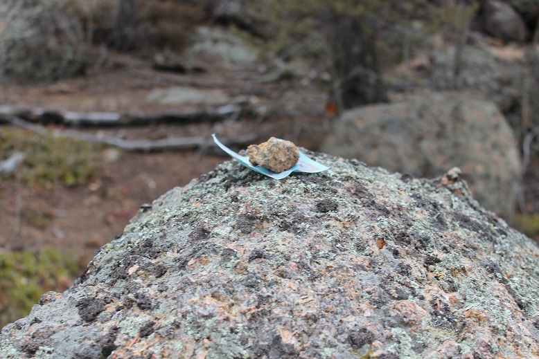
The 2000’ in elevation gain on the way back didn’t hurt as much as I’d anticipated, and when I got to Cascade Mountain I saw something I hadn’t on the way in: A small piece of paper under a rock on a boulder.  It was a Chinese Drawing.  I left it there for whomever it was intended and began my hike down the Heizer Trail.  That part of the hike seriously took forever!  Those switchbacks never end!

12

About halfway down the mountain I saw a couple with a dog, headed to Hurricane Canyon.  I’ll probably head there next, as it looks interesting!  They were the only people I saw all day (besides a runner along the Barr Trail heading to Barr Camp).

I made it back to my truck at 1pm, just as the first snowflakes were beginning to fall.  I’d made the right choice to turn back when I did!  Soon it was a whiteout, but I was in my truck, so all was well.

So today I hiked 15 miles in 6 hours with 4300+ feet of elevation gain.  Here’s a map of my route:

13

Manitou Incline X 2

IMG_4577

My intent this morning was to hike the incline twice:  one to see the sunrise, and again for the exercise.

I woke up at 5am, got a cup of coffee, and opened my front door to look at the mountains:  fog/clouds were covering them.  I couldn’t even see the light atop Pikes Peak.  That settled it:  I was going back to bed.

I woke up briefly again at 6:50 am to get the kids off to school, then snoozed until the cats woke me up at 11:10am.  I looked outside:  no serious clouds over the area I intended to hike.

I quickly made a quesadilla and downed it with a glass of milk (those of you who know me know what that means) and made it to the incline in record time.  As I was driving up Ruxton Ave I saw someone I’d met at the 14er Happy Hour, offered him a ride the rest of the way, but he declined (presumable because he was on a date).

It was frosty but not too cold (around 30 degrees) when I started.  I began at 12 noon and decided to take it slow, mainly because I intended to do this twice today.

I trudged along, leap frogging with Eric for a bit, and then finally hiking on my own for the last quarter mile or so.  I summited in 40 minutes, which was slow for me but reasonable since I’d intentionally paced myself.  I took a summit selfie to prove I’d made it, and continued back down (after chatting with the girl hiking with Eric:  she and I made it at about the same time… he was a bit behind).

IMG_4579

The entire 3 miles back down the Barr Trail I debated if I should actually hike the incline again?  I wanted to, but I was worried I was short on time. I needed to be back for cookie appointments, and a shower was essential beforehand.  I could just go home and run for 40 minutes or so on the treadmill, but wasn’t that why I was out here today?  Because I didn’t WANT to run the treadmill?  I wanted to hike outside…

The trail was covered in snow… I was wearing microspikes and kind of walk/jogging my way down.  (Note to self:  get tighter pants, my yoga pants kept falling down as I tried to jog).

IMG_4582

The last part of the Barr trail has a very small incline up about 15 steps.  I hiked up them and thought: “Nope, I’m done for the day, this hurts” and continued towards the parking lot.

I made it to my truck, realized it was only 1:30pm, and knew I had PLENTY of time to do it again.  So I did.  Why run on a treadmill when I could hike in the mountains?  I told myself I wouldn’t worry about time:  I’d just trudge on and see how long it took me.  I kept a slow and steady pace, and it was actually easier the second time.  Maybe because I’d warmed up?  Or maybe because I wasn’t worried about my time.  I met lots of fun people along the way, and summited in 42.57 minutes (we’ll go with 43 minutes).  Not too bad, considering it was my second time up today!

IMG_4586

I again took the Barr Trail down, and when I was about a mile from my truck started texting my kids about pick-up, after school clubs, etc.  Emily actually wanted to stay an extra hour and a half, so I had plenty of time.  I mentally congratulated myself for making the right choice and hiking the incline twice.  All in all, today I did 4200’ of elevation gain, and just under 8 miles in 3 hours.  Woot!

I’m thinking this would be a proper 14er comparison if I could bump it up to 4 rotations.  Next time maybe I’ll try 3…

Incline in the Snow

11

I didn’t really care what the weather looked like today, I was going hiking. The only problem is I had appointments starting at 11am, so it needed to be quick and close to home.  It snowed a bit overnight (unexpectedly) so I made sure I dressed warm and brought my microspikes.

I met Dave at Memorial Park in Manitou Springs and we carpooled up the Incline lot. I’m totally ok with parking there for $5 in winter (and think that’s a reasonable year long rate).  I was the only one in the parking lot when we got there, but it was obvious from looking at the trail others had been hiking already this morning.

Someone from maintenance shouted up at me, asking if the road conditions were ok. Of course they were, I had my truck (but it was really icy to walk on the pavement:  I’m sure cars without 4WD would slip).

We started at 8:22am, and it quickly became apparent we hiked at different speeds. I kind of anticipated this, but after about 2 minutes we separated and I continued hiking up the trail while Dave stretched a bit and told me he’d meet me at the top.

2

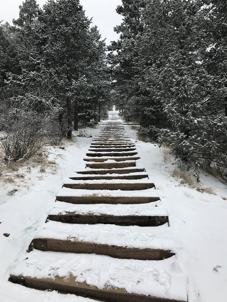
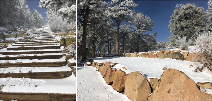
I looked at the route before me: It felt like I was the only one there.  It was quiet, peaceful, white, and green.  I took a deep breath and thought to myself again:  THIS is why I go hiking!

3

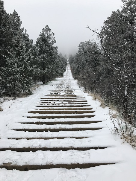
The incline is quite a workout, so even though it was 21* outside I quickly became warm. I couldn’t see much ahead of me due to the low lying fog (that turned into snow).  I’m pretty sure the fog and the lack of depth perception it caused made the hike go much faster than normal.  I didn’t stop quite as often, and I wasn’t getting tired.

Even though there was a layer of snow on the steps it wasn’t slippery. I did see a few people running down on my way up, but probably only 2 or 3.   No one passed me.  Every so often I’d look back and see a few people on the route.  One lady had brought her dog (ugh!  No dogs allowed!) and when I saw it initially I thought it was a black bear (it was the same size and ambling and dogs aren’t supposed to be on the trail, so it was an obvious assumption).

Just as I reached the top the sun started to come out.

4

I summited before 9am and enjoyed the ‘view’ for about 5 minutes before the clouds rolled back in.

5

That’s when it started getting cold. I waited at the summit for another 30 minutes before Dave arrived, but kept warm by walking around in circles.  I actually didn’t mind much because I was still getting in some exercise, and I got to talk for a bit with those who summited after me.  I got the impression the people I talked to do the incline every day.

We put on our microspikes and took the Barr trail back down to the parking lot, talking about ourselves most of the time. We’ve never been hiking together, and only met once briefly, so there was a lot to review and not much dead space.  It was a bit awkward talking back and forth to each other though, since we weren’t hiking side by side it was difficult to hear and we had to keep repeating ourselves.

All in all it was a beautiful morning for a hike, and we picked the perfect time because it just got colder after we headed back down.

I think the incline is starting to grow on me…

My First Winter 14er – Pikes Peak 14,115, Devils Playground 13,070, Little Pikes Peak 13,363

1 - 13

I know this trip report won’t sound like a big deal to most serious 14er hikers, but I have Raynaud’s, which means my body completely shuts down in the cold.  My fingers and toes turn white, they lose function, and I can’t walk, talk or use my hands or feet.  No, foot/hand warmers don’t work.  Neither does layering.  The fact I was able to complete a winter 14er, even an easy one in an easy year, was a huge accomplishment for me.  Here’s the trip report:

Devil’s Playground – 13,070
Little Pikes Peak 13,363

Pikes Peak 14,115

Elevation Gain 4300’

RT 14 miles, 7.5 hours

Starting from Crags Campground

Brought microspikes but didn’t use them (I probably should have though).  They will be useful in the next few days.

I’ve been trying to do this hike for months, but the weather forecast is always terrible in the winter at the top of Pikes Peak (today said 55mph wind gusts and -10* wind chill).  However, last weekend I used a new jacket my mom got me, and while I was hiking I was actually hot and had to take it off, so I figured even though the weather was terrible it was a great chance to see what this jacket could do!

Also, I’d just picked up a pair of men’s work gloves (fleece) at Walmart for $6 that indicated they worked even in the worst of weather.  I was seriously skeptical but willing to try anything:  my fingers are always the first to lose function, and I can never get them warmed up again until I go back down in altitude (kind of like altitude sickness for my extremities).

My goal was to hike to Devil’s Playground, and possibly hike up Little Pikes Peak.  I was thinking I’d check a couple of 13ers off my list (I know they aren’t ranked, etc.)  I had no intention of hiking Pikes Peak today.  I’ve hiked it 12 times (from Barr Trail) and had no need to do it again.  I just wanted to see what this jacket and pair of gloves could do.

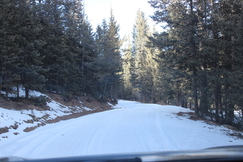
I used the Crags Trailhead.  The gates were open but the 3 mile dirt road was covered in a layer of packed down snow.

2

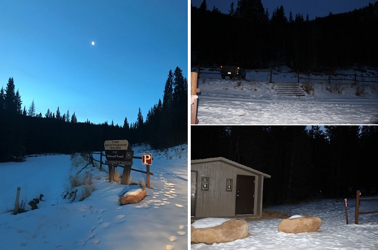
I arrived at 6:45am and was the only one in the parking lot.  The bathrooms were locked (presumably for winter) so I got my gear together and started at 7am. It was 21*.

3

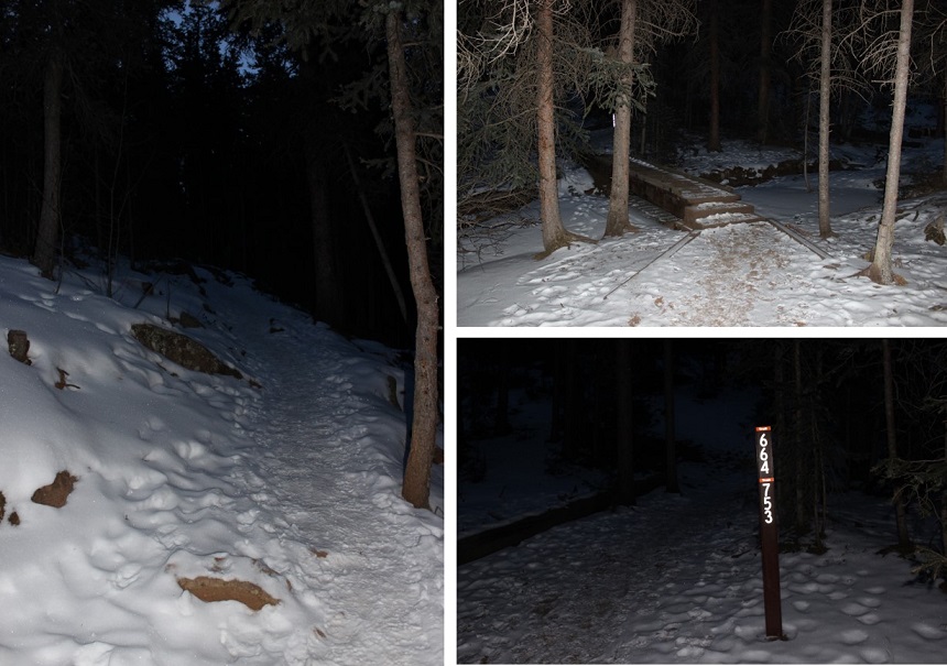
The trail was very well marked (I love that!).  It was also easy to follow, even with the snow.  It looked like someone had tried to cross country ski in the area.  I’m pretty sure it didn’t end well.

4

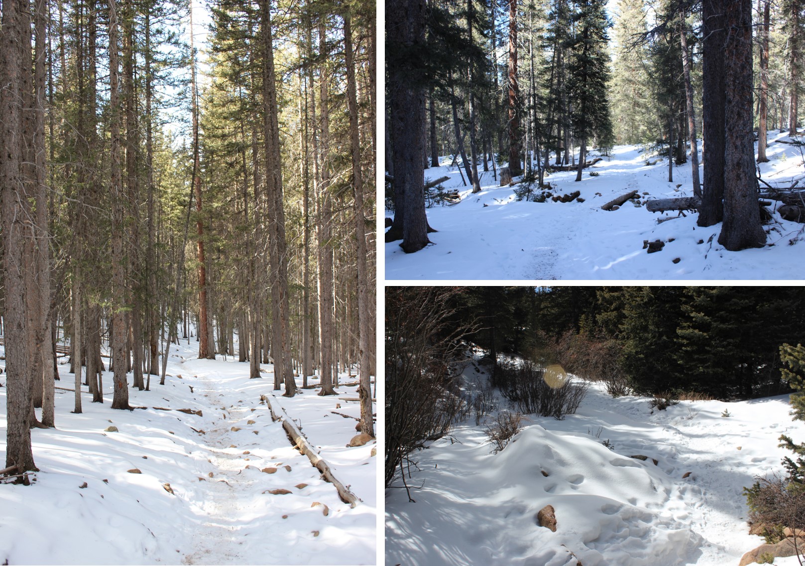
I took trail #664A for what seemed like forever before making it to treeline.  I mean forever!  The entire trail was covered in about 3-6 inches of packed snow (more in the drifts) and while I could hear the wind the trees blocked it from reaching me.  It was slow going because the snow was a bit slippery and I had to watch each foot placement in the rocky areas.  I had microspikes but didn’t use them because I didn’t think they’d make me any faster/more secure.

5

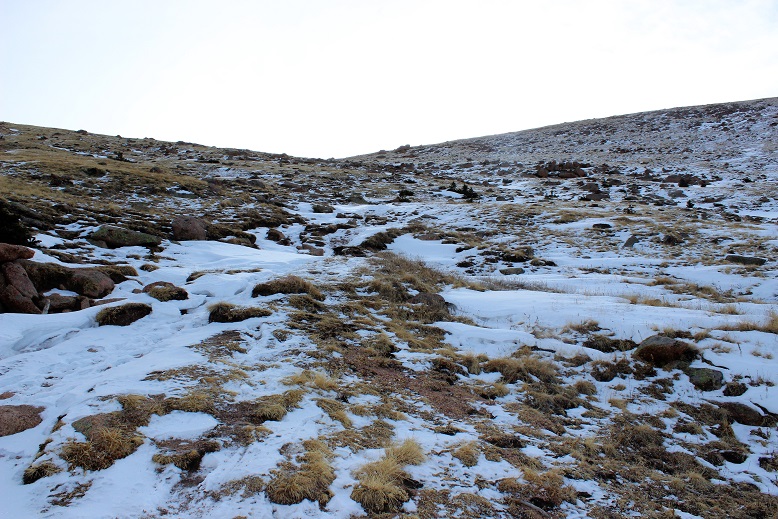
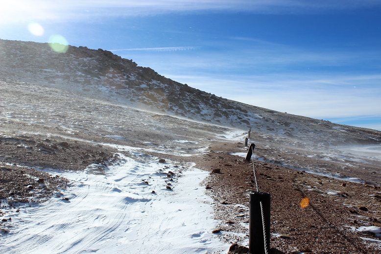
Here’s a photo of the trail as soon as you get above treeline: It’s straight up a mild, well maintained, snow covered drainage/gulley.  This is where the temperature dropped and the wind picked up.  It didn’t stop until I reached this point again on my way back down.

6

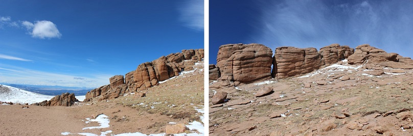
I continued hiking around some large rock formations and then areas of heavy snow.

7

The snow was beautiful, and had a sound.  I’d say it sounded like glitter, but since that’s not possible I’ll instead say it sounded like very small chards of glass bouncing off the floor.  But to me it had the sound of glitter.

8

I wasn’t cold yet, but I wasn’t at a high elevation either.  I was at 11,500 feet.  Eventually I got to the Pikes Peak Highway.  I crossed the road and this is where the wind really picked up.  I could see it blowing from the west, up and over the ridge.

9

It was phenomenal to watch!  I could see the wind as it ascended the basin, and follow it as it blew up and over the ridge.  I knew when to brace myself for impact, which was important because it knocked me over a few times.

A scarf was necessary. The only place I was cold was where my skin was exposed (woot!  High five for the jacket and gloves!).  I had to tuck my scarf into my jacket because the wind kept causing it to unravel.  Wind was probably 25mph here.

10

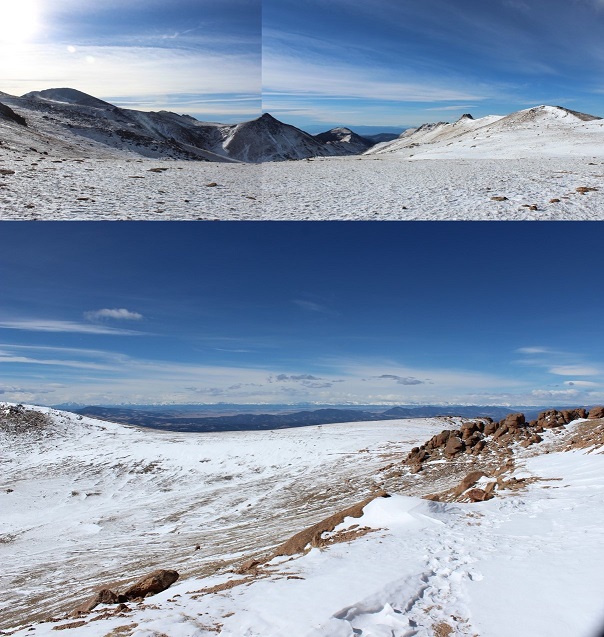
Devil’s Playground was dry of snow except for when the wind blew… It was about 15* here (without wind).

11

The trail following the Pikes Peak Highway was easy to follow because of the snow drifts.  I either avoided them or sank into them and trudged on.  I was miserable due to the wind, but I was doing this!!!  Still not cold!

12

The highway was completely devoid of snow, and curiously there was someone with a plow going up and down the road.  They stopped twice to watch me, presumably because I was CRAZY to be out hiking in this WIND.  I figured they weren’t taking any chances with icy roads either in all this wind.  This also told me they were opening up the summit house today.  Woot!

The pictures just don’t do this wind justice.  It was intense and insane (and mostly invisible).

Here’s where the wind became intense for the first time.  Gusts were about 55mph and sustained.  I’d stand there for 30 seconds waiting for the ice intensity to pass.  The wind made it cold, but not so cold I needed to stop.

1 - 13

Here’s a view of Pikes Peak (center) and Little Pikes Peak (right).  Little Pikes Peak was the reason I was taking this hike.  There’s no path to the summit, so I’d have to just find a route and follow it.  Here’s where I made my first mistake.

14

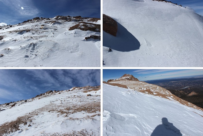
I was coming from the North, and could only see one side of the mountain.  I picked a route that looked hikeable and followed it.  I stopped to breathe for a bit and take in my surroundings and realized I’d almost hiked to a place I couldn’t hike down from!  The snow was heavy, and I’d have to say if there’s any avalanche danger (yes, I know it’s small) it’d be here.  This snow was loose and I was in a precarious position, jumping from rock to rock:   If I missed one I’d be sliding for quite a ways!  I quickly hiked back the way I’d come and decided to scout out a better route up.

15

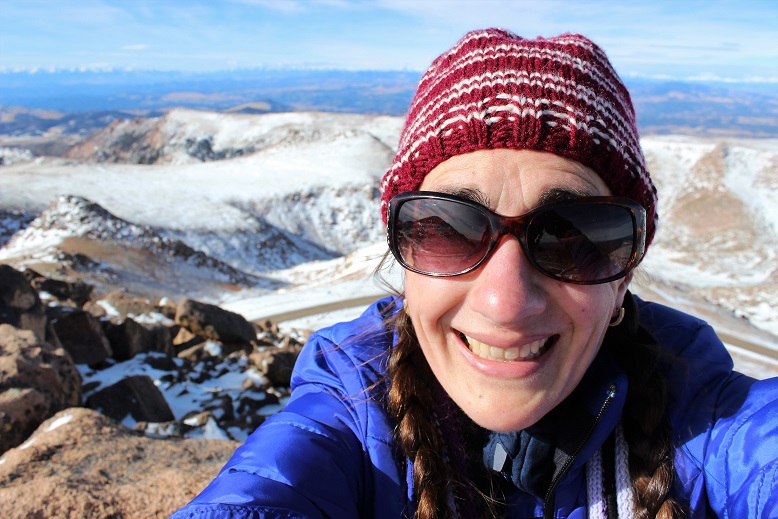
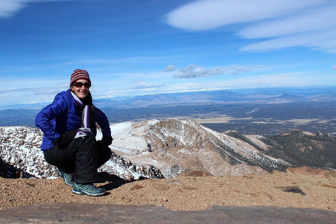
I found a much drier route to the south and made it to the summit of Little Pikes Peak after falling through and hitting just a few small boulders hidden in the snow (no big deal, I kind of expected this to happen).  Here’s a summit selfie of me trying to smile (my lips were frozen).  Moral of this story… summit Little Pikes Peak from the South!  That side had snow, but no where near as much as the north side (I know, common sense…)

16

I sat on the summit and looked at Pikes Peak.  It was much closer than I’d assumed.  It couldn’t be much more than a mile or a mile and a half away.  I was intrigued.  For some reason I really wanted to summit from this route.  I’ve summited 35 peaks solo, but Pikes was my first summit and I did it with a group and on another route.  I kind of wanted to be able to say I’d summited this peak solo as well.  And I’d never done a winter 14er (several winter 13ers, but no 14er in winter).  The only problem was I could tell the toughest weather was ahead of me.  I knew the temperature would drop as I ascended, and that wind blowing snow looked insane!  I was already cold (but not as cold as I’d anticipated).  I hate regrets, so I decided to go for it:  I could always turn back if it got too difficult, right?

17

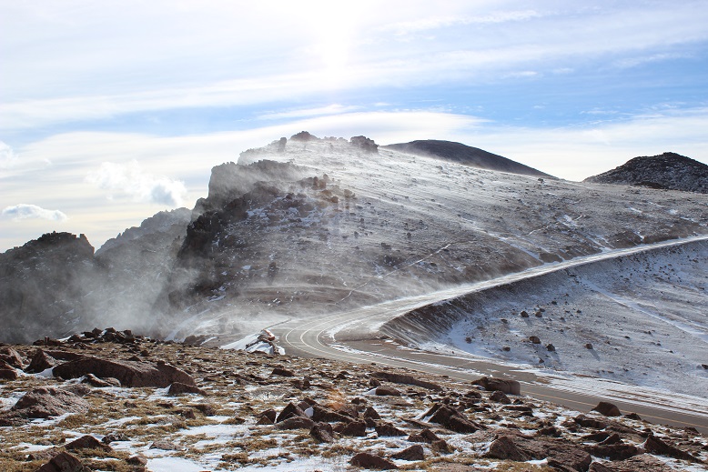
I stashed my trekking pole and began the final push to the summit.  I was right, this was the most difficult part of the hike:  The temperature dropped and the wind picked up.  Here’s what it looks like just as the wind and snow hits you at -10* and 55mph…

18

Unfortunately, the wind didn’t come in gusts:  it just kept coming.  I’d brace myself, look for a cairn, note its position, put my head down and trudge towards it with the wind blasting me from the front.  It was miserable and slow going but I had a plan.  And while I should have been a popsicle in this weather I wasn’t!  This was doable!

19

The cairns were extremely helpful since the route was covered in snow.  I knew others must have hiked this trail in the past few days, but as I looked back at my tracks they were quickly covered by snow blown by wind just seconds after I’d passed.  This meant I had to watch every step forward because I was kind of ‘breaking trail’ and didn’t know the best route.  The rocks were slippery and again there were times I’d misjudge and my shin would get bruised from falling through snow and hitting rock.  I thought about but didn’t use my microspikes yet again.

20

The wind didn’t stop, but as I gained the final pitch the ice and snow was taken out of the mix.  This was a nice surprise!  I summited at 11am.  I still couldn’t feel my lips but was able to force an awkward smile for a summit selfie!

21

The summit was disappointingly dry for winter, but I’m pretty sure that’s normal for a summit (due to wind).  Almost no one was there (3 cars in the parking lot?) so I walked across the parking lot and into the summit house.  I briefly thought to myself it was cheating to go inside and get warm, but my water had frozen on the hike and I wanted a drink from the water fountain.  The pipes had frozen in the summit house as well so I bought a Gatorade and immediately started feeling overheated.  This was not good.  It was way too hot in there and I was getting a headache.  I had to get back down that mountain.  I remarked to the cashier how I was shocked they were open today. Her reply told me she’s obviously had other plans besides work today and was surprised as well.

I met a group of three guys from Texas who’d driven to the top.  They were impressed to hear I’d hiked up in this weather, and confused when I told them I was heading back down: “That’s the only way to get back to my truck”…

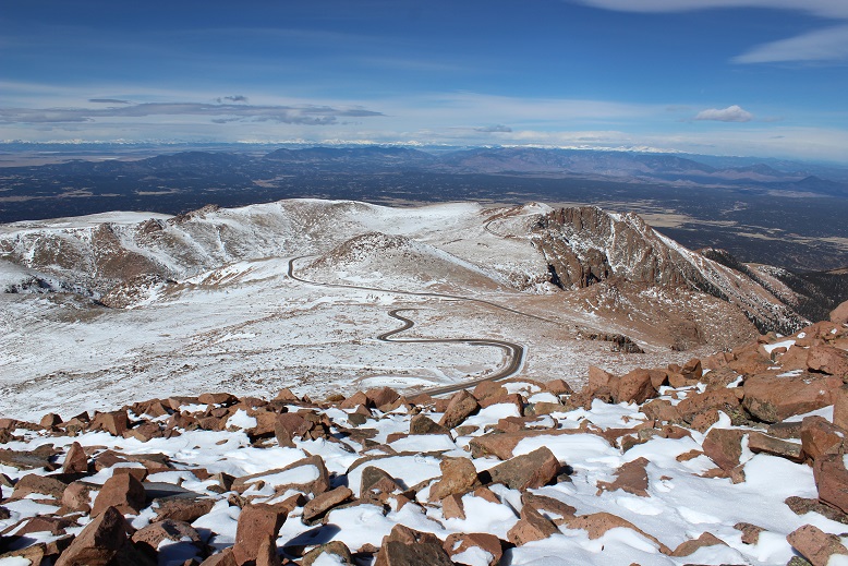
I bundled back up and headed outside.  My path back down looked amazing.

22

The wind was constant during the hike back down, but the jacket and gloves had done their job:  I still had full function of my fingers!  Success!

The hike back down seemed much longer than the hike up.  I kept thinking to myself it was crazy I’d hiked all this way straight up!  I like elevation gain and tend to forget how much uphill I do on the way up until I’m on the way back down…

I marveled at the south side of Pikes Peak, and totally understand why they want to make this area into a ski area:  It would totally work (if we forget about destroying tundra and wildlife).

23

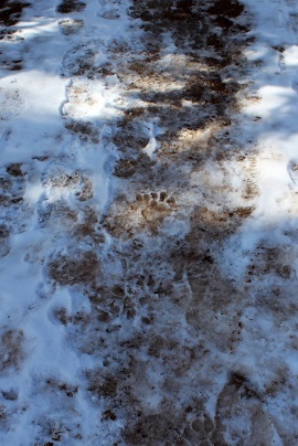
Just before making it back to the trailhead I noticed prints that looked like bear tracks.  They were obviously not fresh, but I was pretty sure that’s what I was seeing and they’d been created within the past few weeks or so.  Hmmm… it seems someone woke up early and hopefully went back to bed.  This doesn’t surprise me, due to our unseasonably warm winter and the fact I was hiking near a campground.

24

The last 3 miles of the hike I was roasting.  I wanted to take off my jacket but was too stubborn to stop, so instead I took off my hat, gloves, and scarf while I was hiking and just carried the items.  I was curiously pleased I was so warm in 30* weather I was taking off accessories.  I made it back down at 2:30pm, making this a 7.5 hour hike.  Slow for me, but I blame the wind…

All in all today’s adventure was a total success!  The weather was brutal but having the right gear made all the difference.  I wasn’t nearly as miserable as I’d anticipated I’d be.  I learned a lot about my abilities, did a reality check on things I already knew but ‘forgot’, and can now say I’ve hiked a winter 14er!  Woot!

Pikes Peak Summit Sticker can be bought here

Cameron Cone – 10,707′
1

RT Length – 9 miles, Elevation Gain – 4235’
Note:  This hike is difficult.  The elevation gain is intense and the trail difficult to follow.

I’ve wanted to take this hike for years, but it starts at the Barr Trail parking lot, which has been having fee issues (as in $40 per day parking fee issues).  There’s the incline lot that charges $5 for a maximum of 4 hours directly adjacent to the Barr lot, but I wasn’t 100% sure I could do the hike in 4 hours and the signs warning you’ll get towed if you stay there longer than 4 hours are daunting.

Today the forecast for the high country (anything over 12,000’) was 10-20 degree weather with wind gusts of 20-25mph (read feels like -5 degrees), so while it was beautiful outside, I wasn’t hiking any 13er or 14ers.  It was a shame because it was such a beautiful day!

The weather in Colorado Springs was forecasted for high 50s-low 60s: it was just too good to pass up, so I did the math, and figured I could probably hike the 9 miles in 4 hours.

I made it to the trailhead at 6:51am and was hiking at 7am.

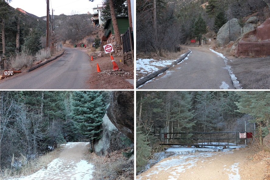
To get to the trailhead, you park at the incline lot, and then backtrack back to Ruxton Avenue and hike west through a street lined with houses, go left around the locked gate, and continue on the road until it comes to a dead end at a stream crossing.  Cross the stream (on two separate bridges) and continue up the hill to the cog railway tracks.

2 trailhead

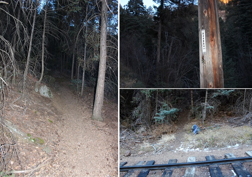
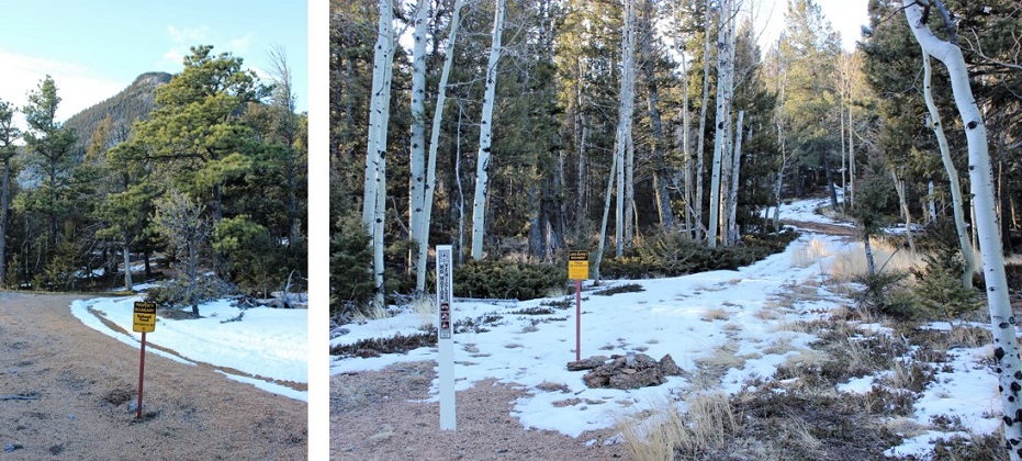
You aren’t supposed to hike along the tracks, but luckily after about 10 yards or less you’ll come upon utility pole 044954.  Just before you reach the pole the trail starts to your left.  It continues up the hillside, paralleling the tracks for a bit before turning southwest up the hill.

3

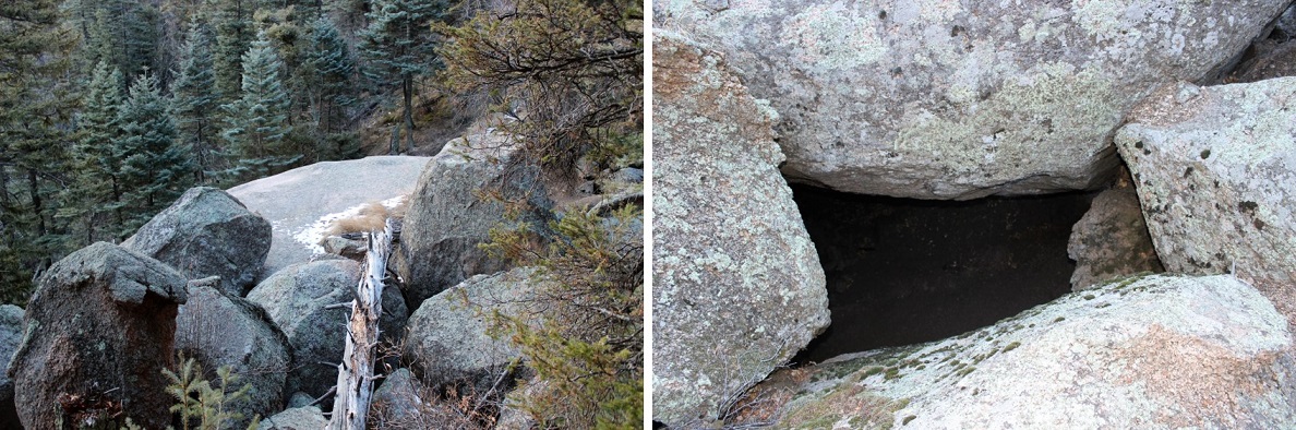
I came upon a really big boulder outcropping that looked like a camping spot.  The boulders were positioned in such a way that if you descended the tunnel about 15 feet you were in a type of boulder-cave.    It was surprisingly clean, and I may come back later to visit again.

4

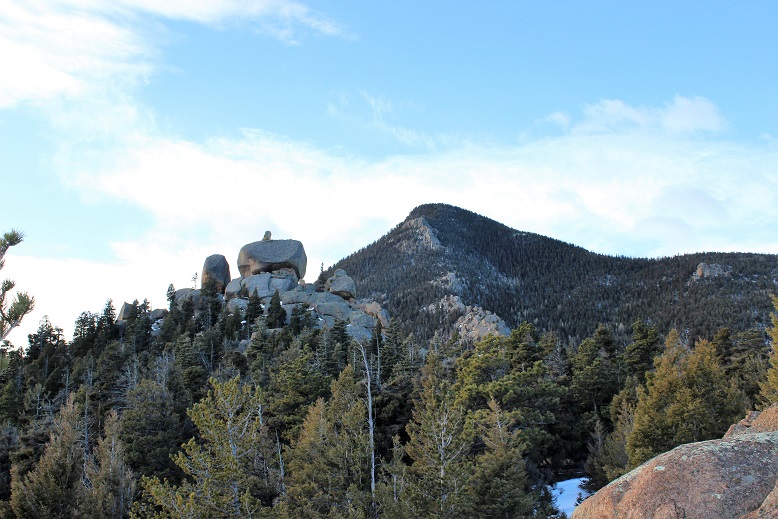
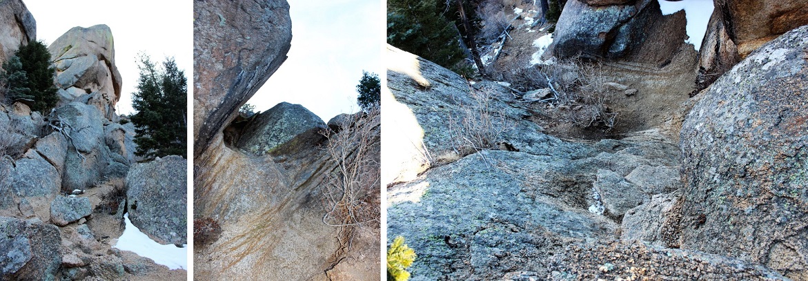
The trail continued up, up, and up, with just a little bit of snow until I reached Magog Rock.  This rock is gigantic!  Pictures just don’t do it justice.

5

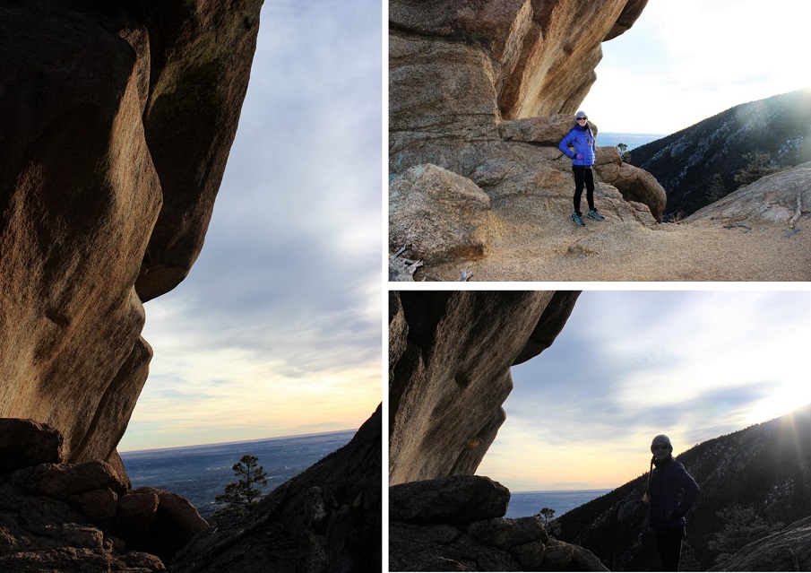
There was some easy class 3 scrambling that required all 4 limbs, but once I reached the top the views were great!

6

I followed the trail west and over a ridge.  This ridge looked like an excellent place to camp in the summer!

7

After the ridge I reached Gog rock and passed it by hugging the rock to the left  (Yes, the rocks were named after the Magog and Gog in Ezekiel and Revelations… check out your Bible for details).

8

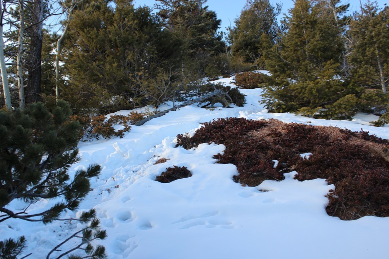
This is where the snow on the trail started picking up.  It was over a foot deep in some places, and I could tell not many people hike this route, as I was breaking trail and it hasn’t snowed since last week. This was about the halfway point of the hike.

9

I passed a clearing that looked like another great place to camp, but also like it was an area that sees a lot of quads and motorcycles.  It had a lot of open space, and a sign indicating I was crossing over into National Forest Land.  Here I came upon a road and followed it for about half a mile.  Unfortunately, the service road dropped in elevation (which meant I was going to have to make that up).  I kept wondering if I was on the right path because it was taking me away from Cameron Cone, but I knew I was in the right area when I saw the Cameron Cone trail sign.

10

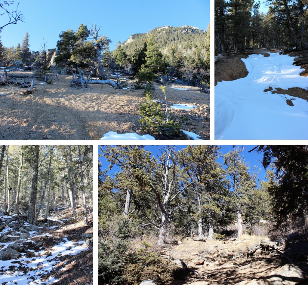
This is where the hike got difficult.  There was quite a bit of snow on the trail, and the trail itself weaved in and out of the trees.  If you’re not comfortable with a topo map and compass don’t continue any further:  The trail kept taking me south, which I thought couldn’t be right (but it was) as it was taking me away from the summit.  It turns out you need to summit from the South.  The last mile or so of this hike is completely uphill with intense elevation gain:  the mountain doesn’t relent, and by this point you’re already tired from the 3000+ feet in elevation gain you’ve already done.  It was slow going with no clearly defined path and no clear view of the summit (since it’s treed).

11
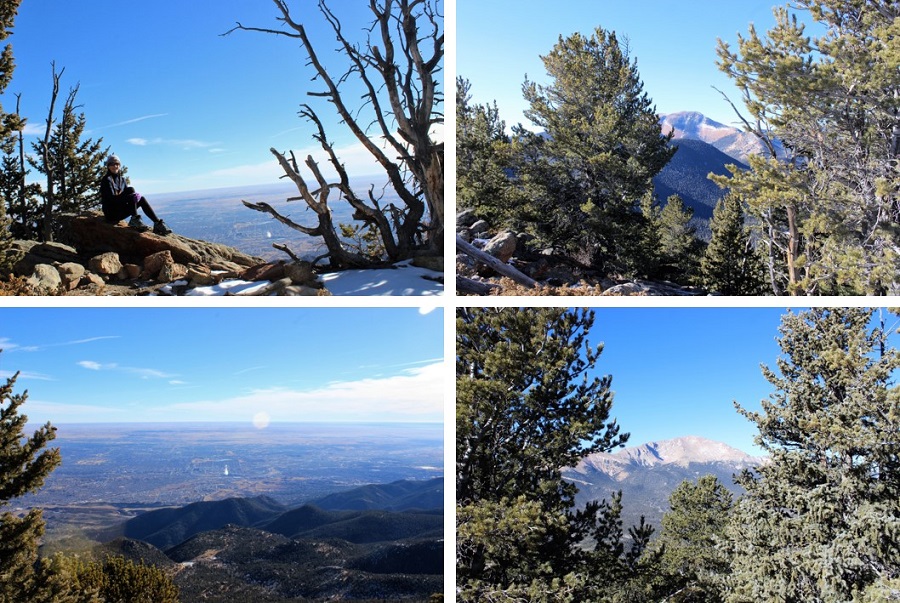
I summitted at 9:31am:  It had taken me 2.5 hours to hike 4235’ in elevation gain in 5 miles.    Not bad, considering it was all uphill.  I spent about 20 minutes on the treed summit taking pictures and enjoying the view.

12

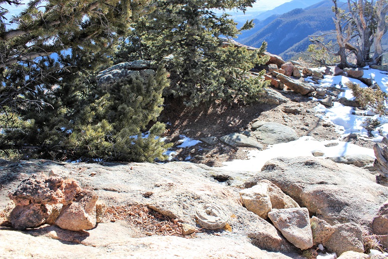
I found the place where the summit marker should have been, and was upset to find someone had removed it.  Summit markers are few and far between these days…

13

Now for the hike back down.  The steep elevation meant I was slipping and sliding on all that snow on my downward trek.  At times it felt as if I were skiing.  Microspikes were not necessary, but snowshoes would have been useful.  When I made it back to the Cameron Cone cutoff I had to take off my hiking boots and shake out all the snow and scree.

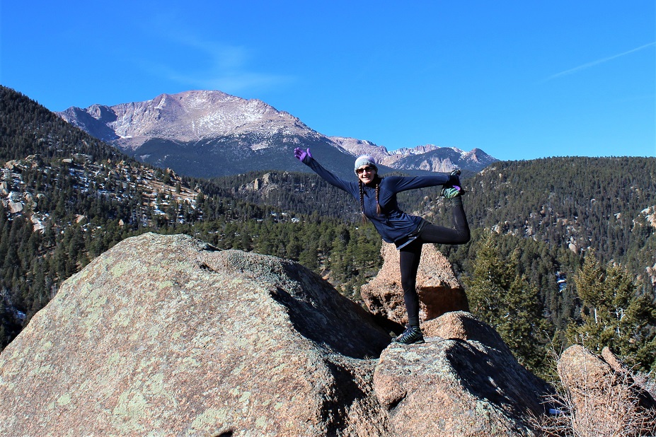
I made it back down to the Gog rock area and decided to do a bit of Yoga to stretch.  I knew I should try to make it back down to the parking lot as quickly as possible, but I really wanted to enjoy this beautiful day (and see if they really would tow my truck if I wasn’t there on time… I had a feeling 30 minutes wouldn’t matter when there were less than 20 cars in a lot that would hold 200+).

14

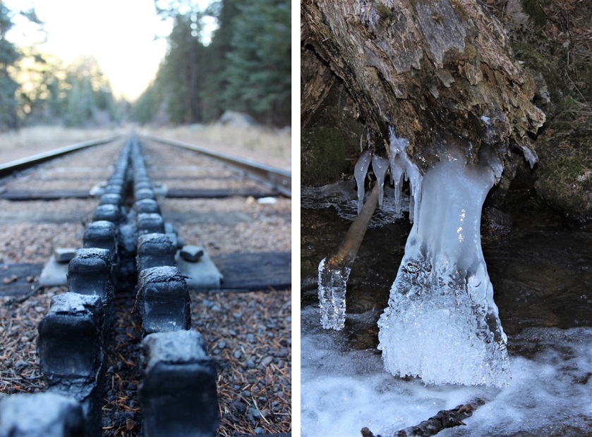
The rest of the hike was pleasant and uneventful.  I crossed the cog tracks and the stream (beautifully frozen in February)

15

I made it back to my truck at 11:30am, which meant the 9 mile hike took me 4.5 hours to complete.  And my truck was still there!  Woot!

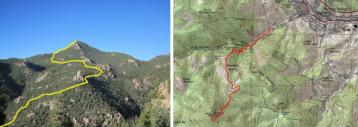
Here’s the route I took:

16