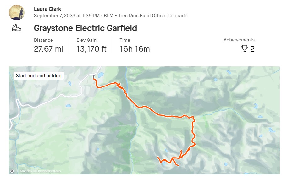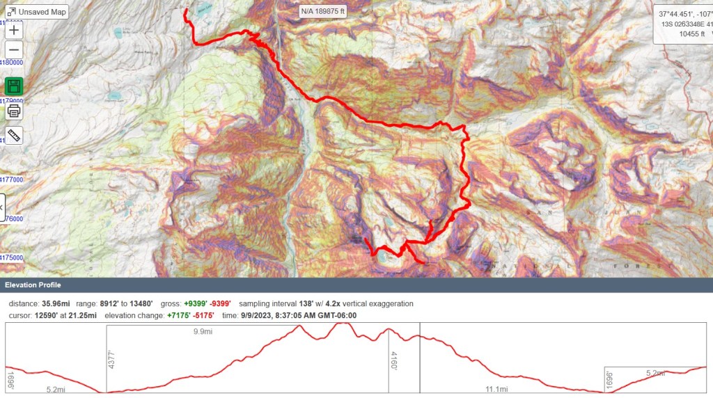
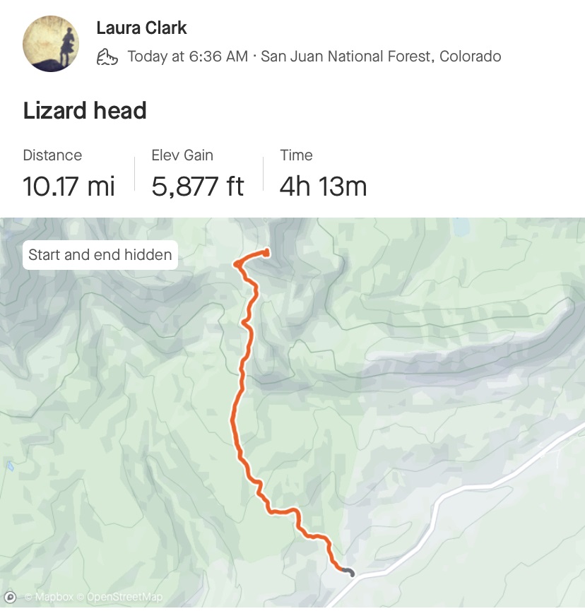
RT Length: 12.86 miles
Elevation Gain: 3566’
I would like to preface this report by stating I do not consider myself a rock climber. Please don’t use this report as your only information when attempting to summit Lizard Head. There are several, much more detailed reports on this climb that can be found online. I’m hoping to share my experience, and hopefully add what little I can as someone who does not consider themselves a rock climber to the vast array of knowledge that is out there.
On my quest to summit all of Colorado’s 13ers, Lizard Head is the most difficult peak to climb, and with a 5.8 rating, requires ropes not only to descend, but to ascend as well. This is going to be a high-level overview. Please don’t ask me questions like how many cams were used (as many as were needed) or what sized cams (um… the ones that fit?) or what rating areas were (difficult?) as these are not my specialties. I can tell you there were 5 pitches (but this can probably be done in 3 or 4 by more experienced climbers) and 2 70-meter ropes were used (tied together for two rappels). There were several bomb-proof belay stations. If you don’t feel comfortable leading exposed class 5.8 on your own, but still wish to summit this peak, my advice is to hire a guide. San Juan Mountain Guides are the local experts in the area, but there are several companies to choose from.
Thank you for reading!
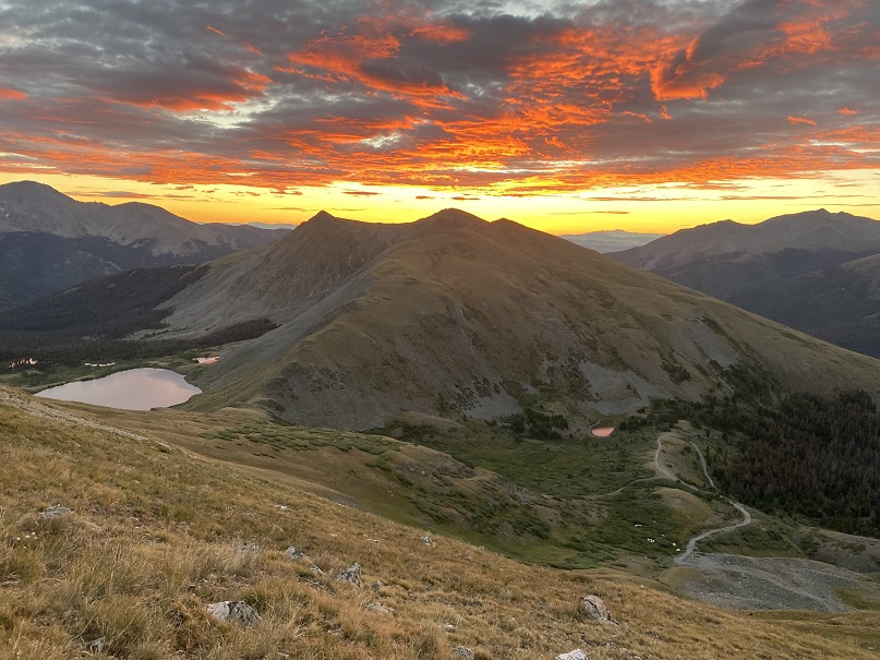
I got to the Cross Mountain Trailhead the night before and slept in my truck. It rained and hailed and sleeted a bit that day, but luckily, as I sat looking over at Lizard Head, it was always in the sunlight. I hoped this boded well for me the next morning.

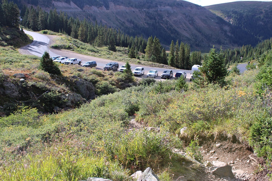
I spend a lot of nights camping at trailheads/passes, and this one was unusually busy in the middle of the night. Several cars stopped and played music for a while. I’m not sure what they were doing there, as it was pitch black out, but it was my choice to be there, so I accepted their presence.
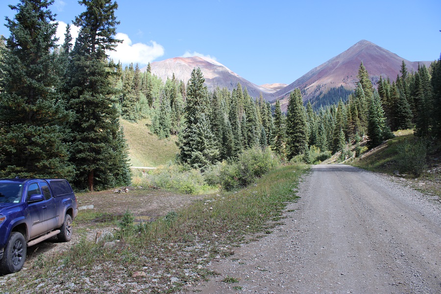
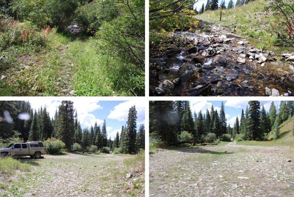
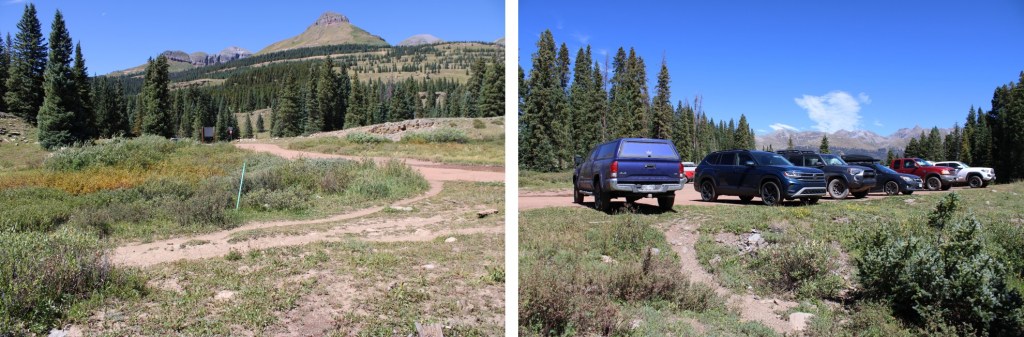
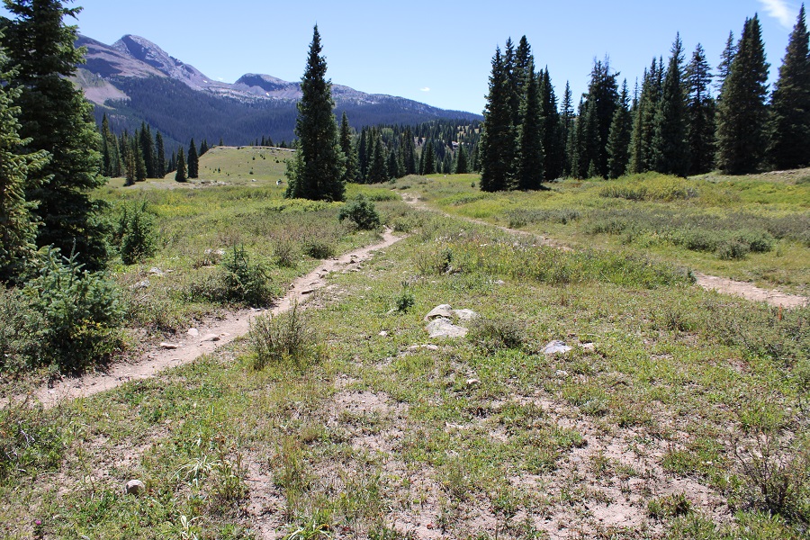
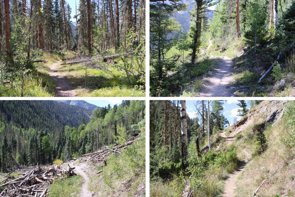
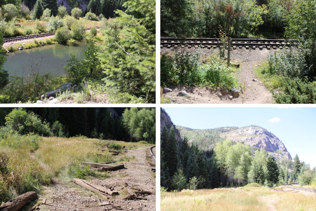
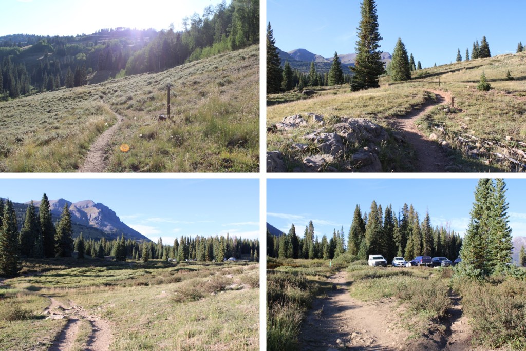
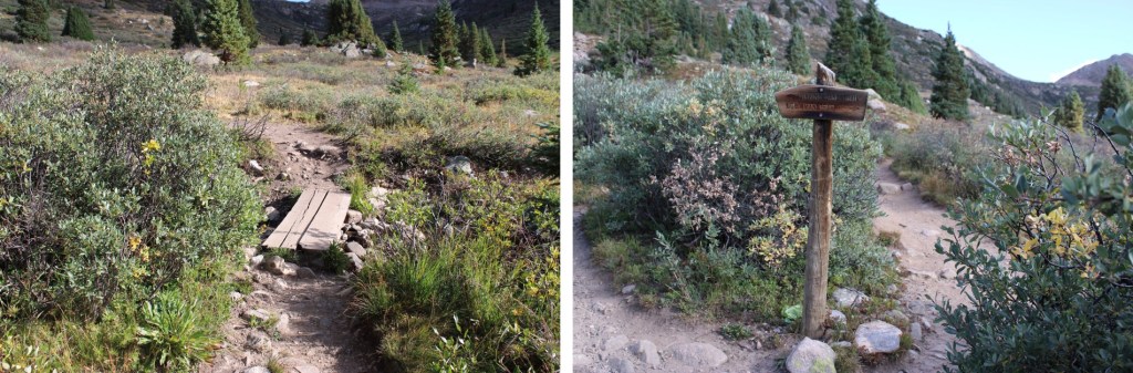
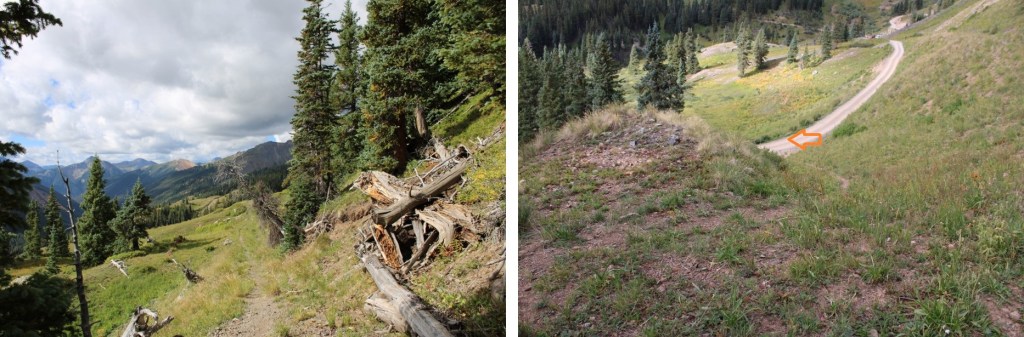
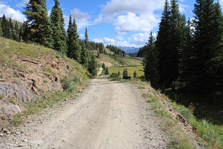
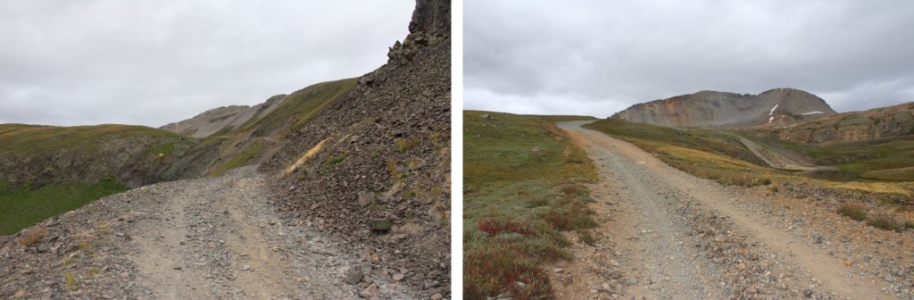
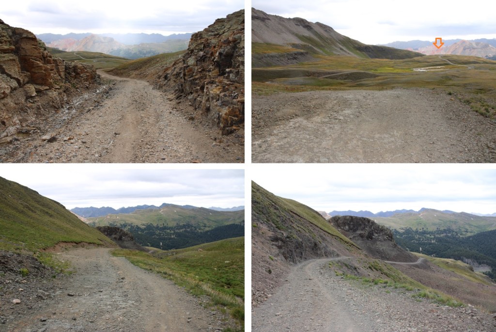
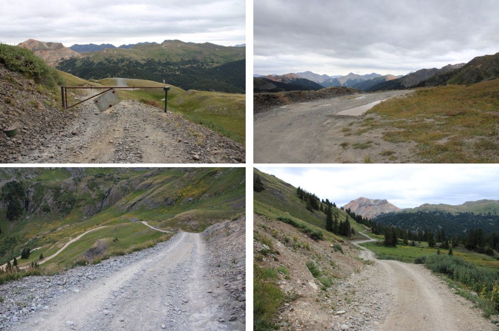
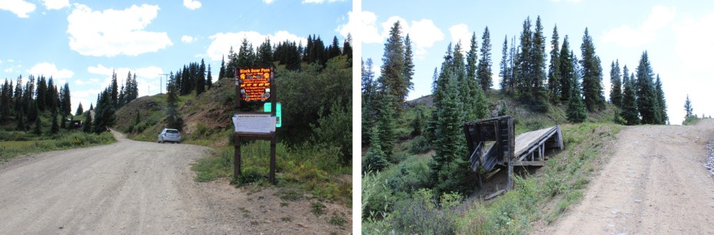
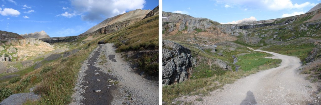
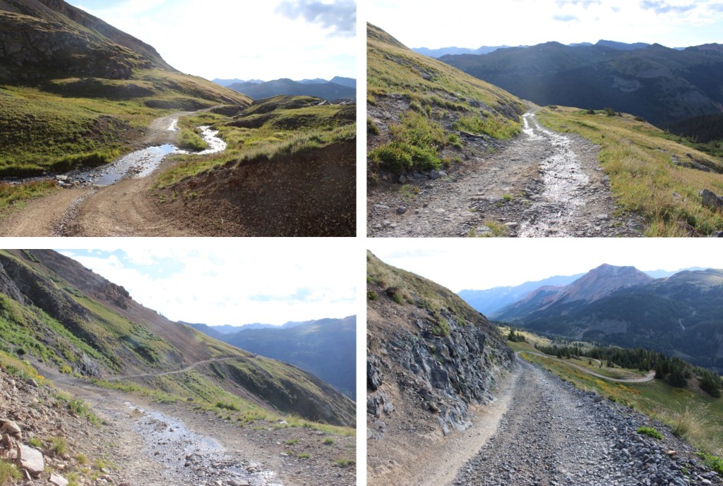
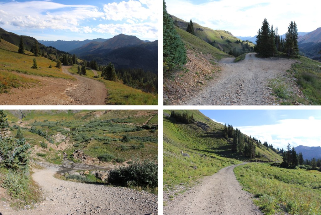
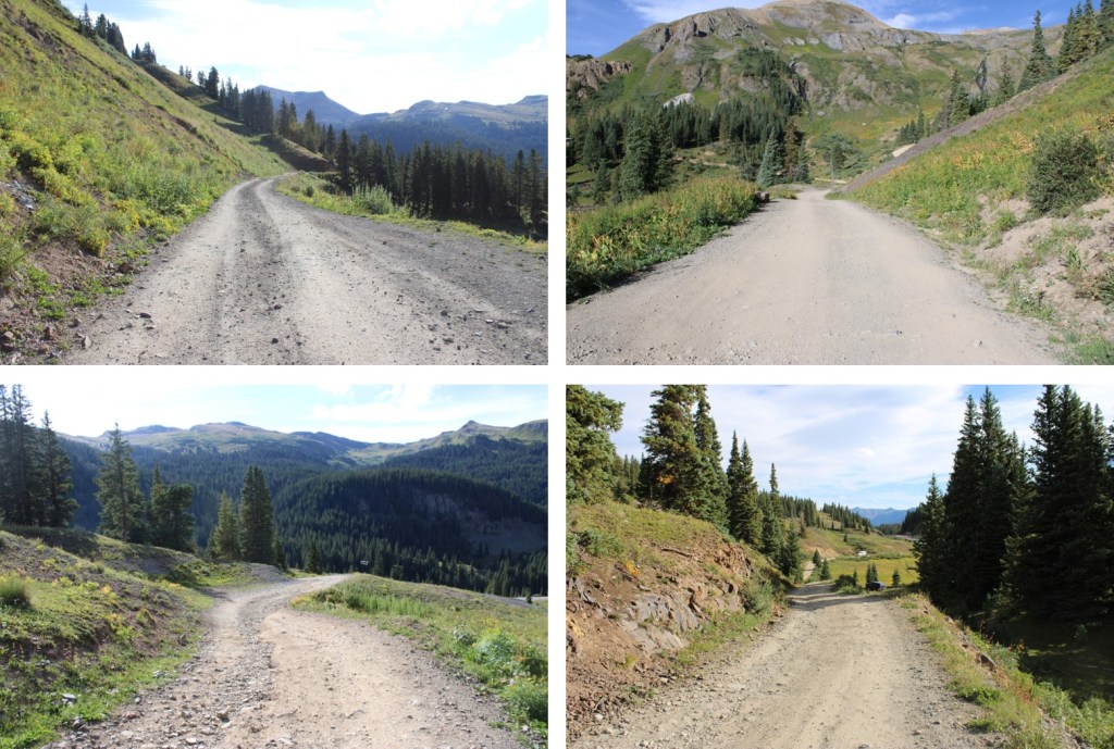
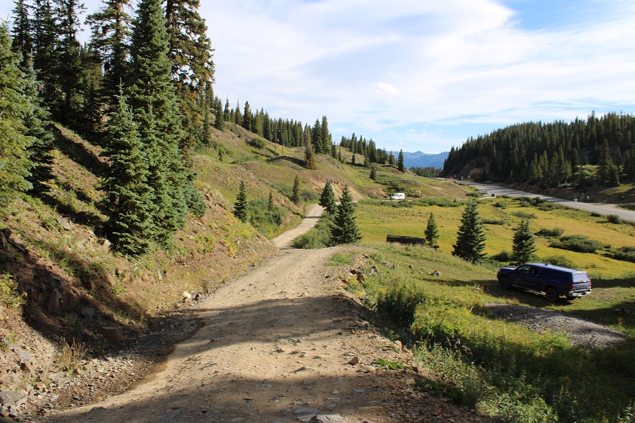
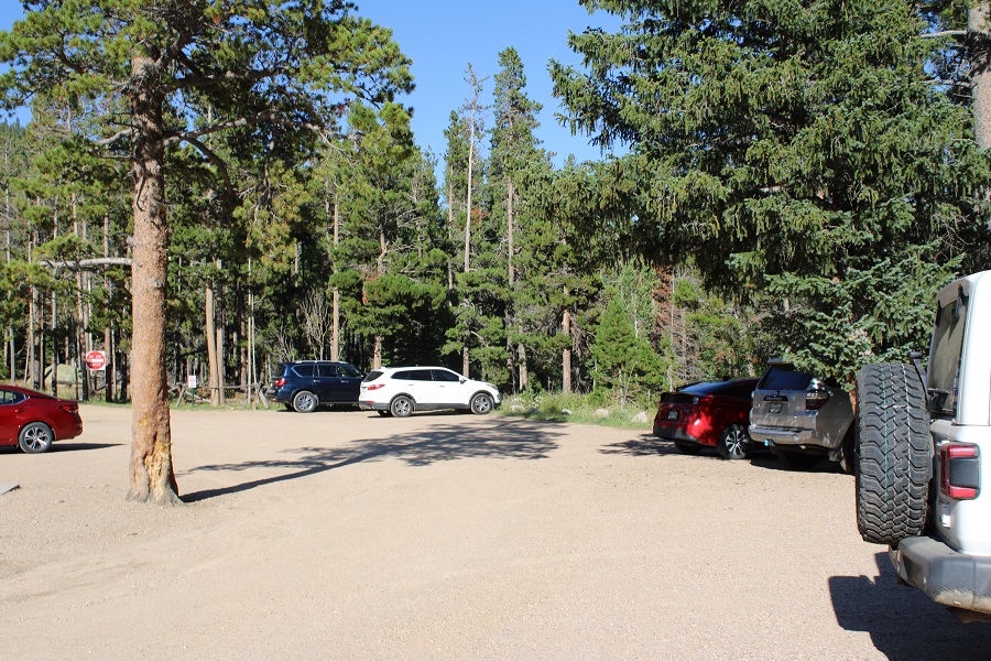
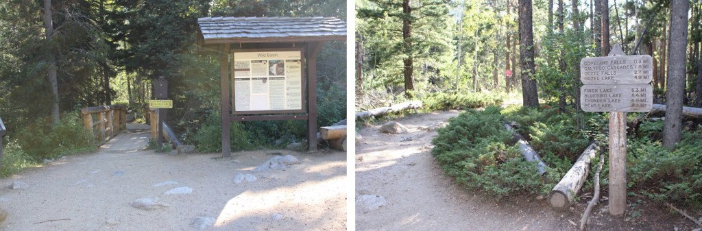
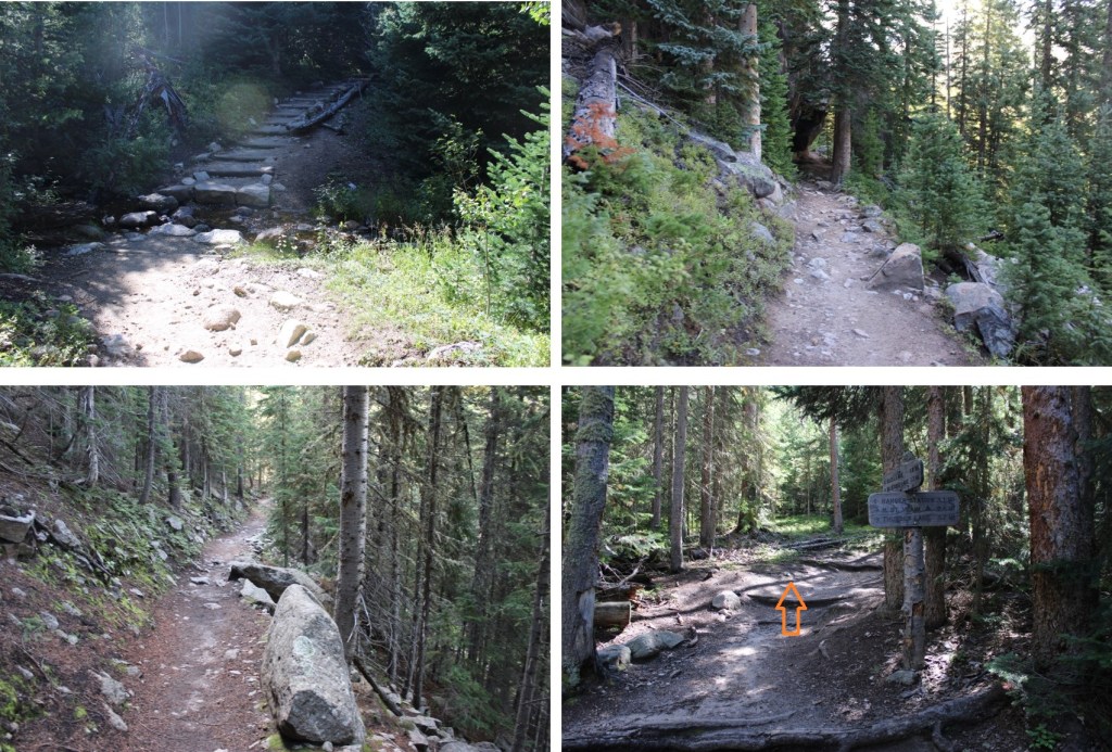
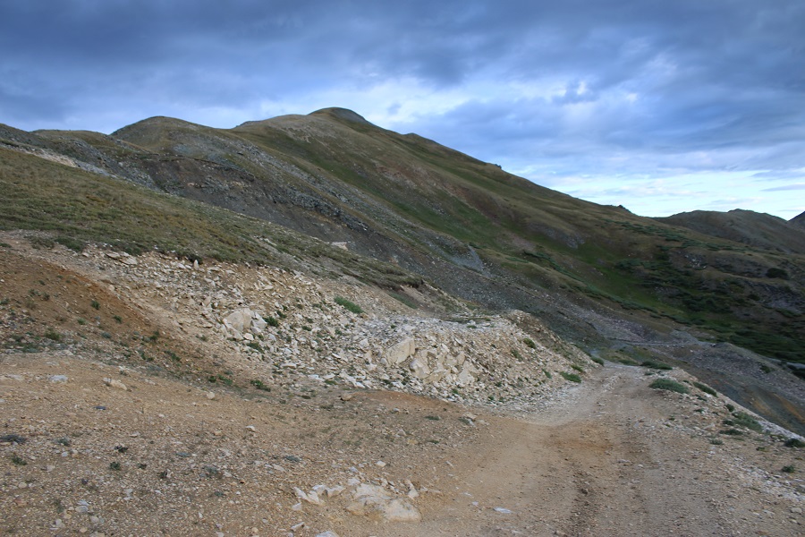
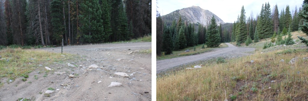
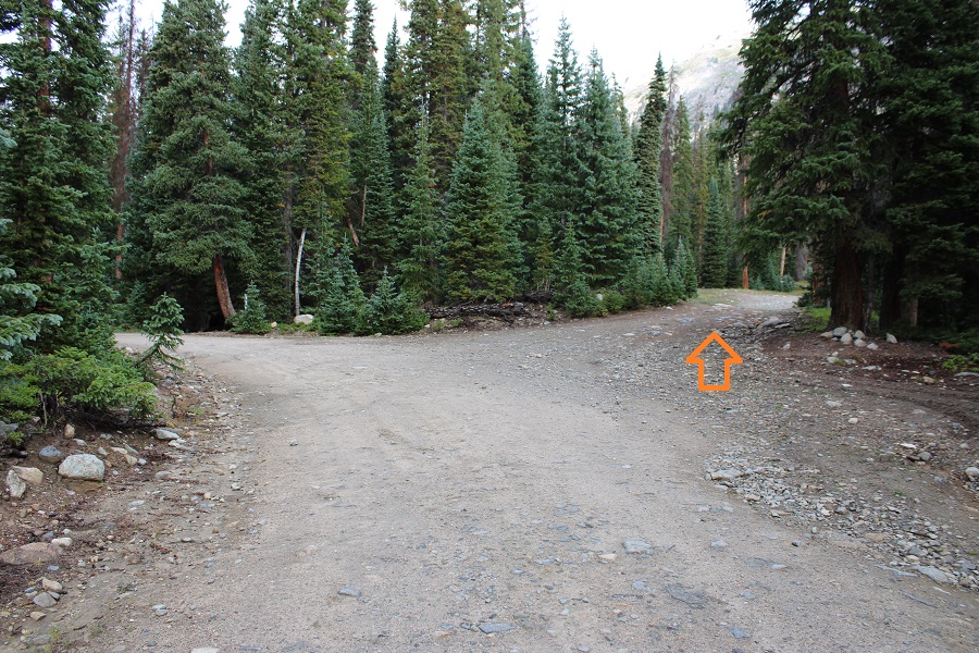
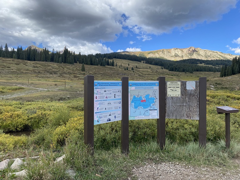
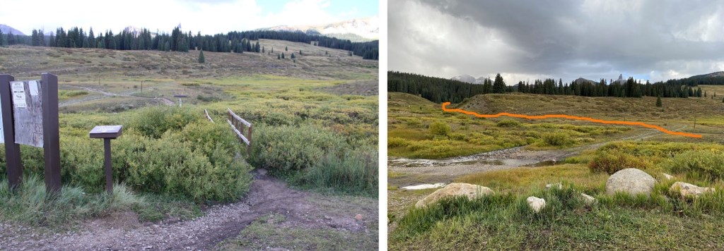
The trailhead starts at the west end of the parking area. It was 29 degrees outside when I left my frost covered truck and set out on the trail at 6:45am.
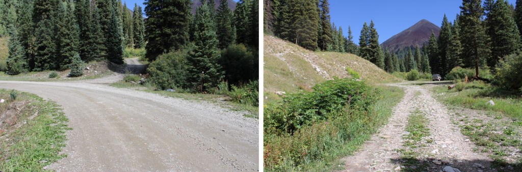
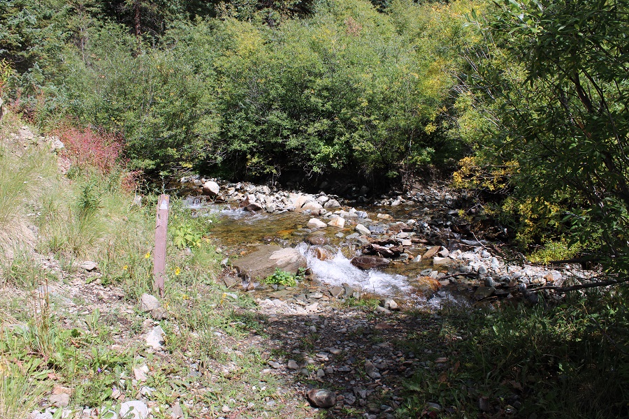
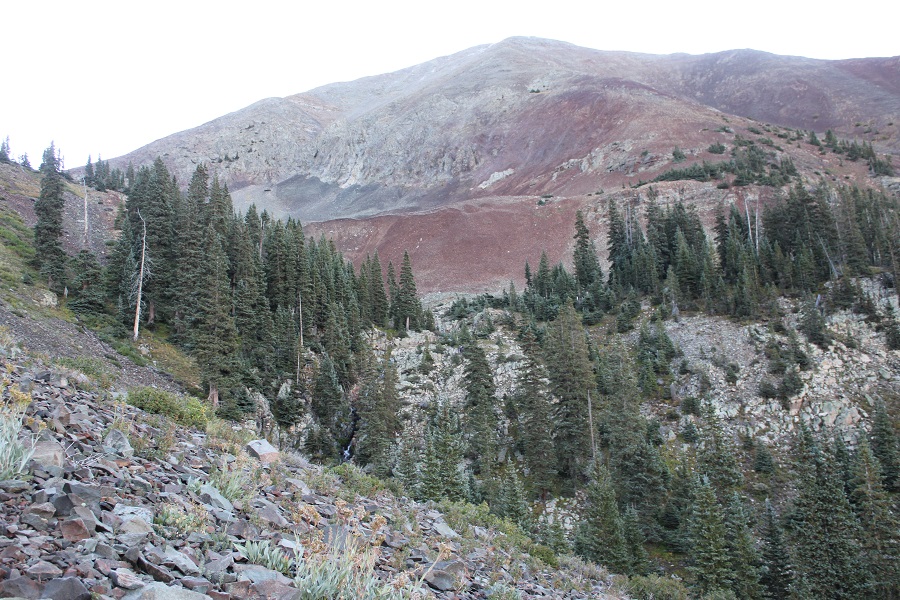
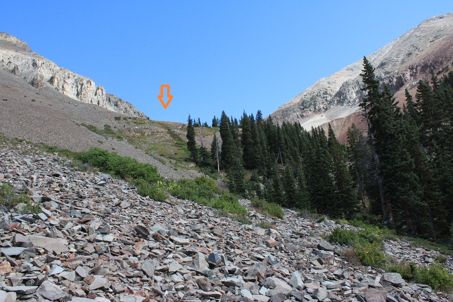
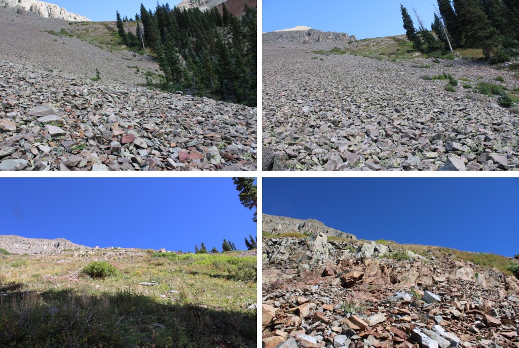
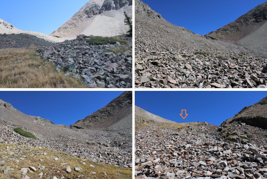
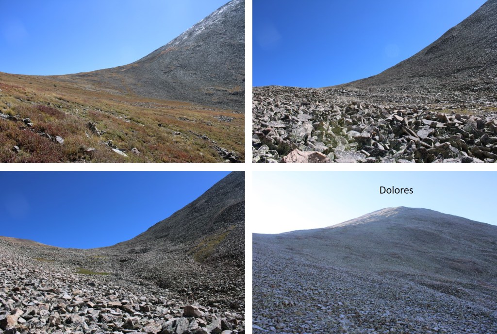
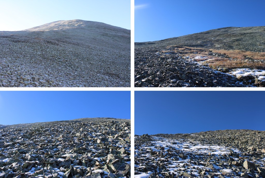
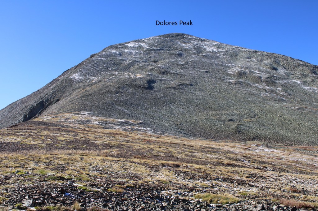
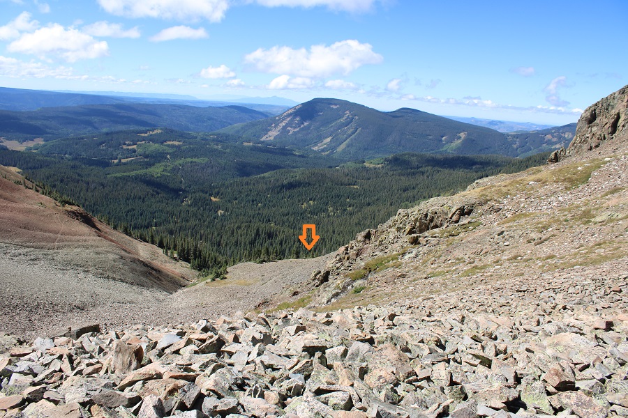
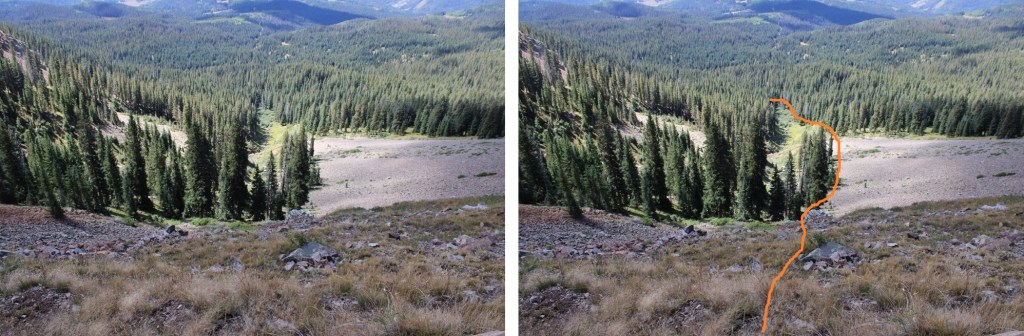
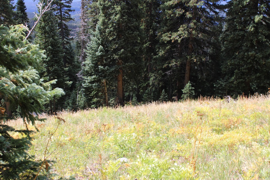
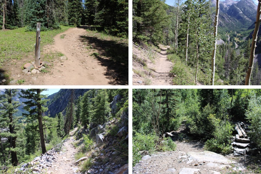
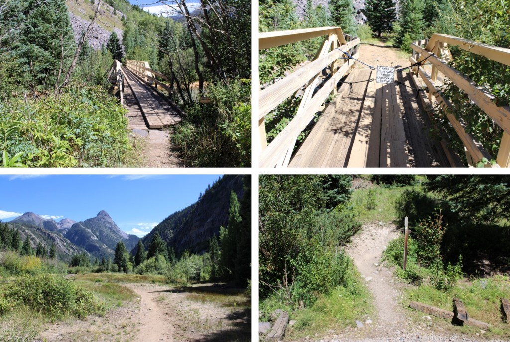
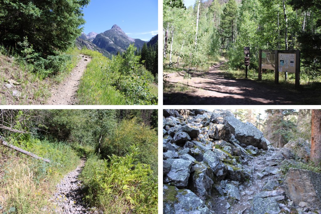
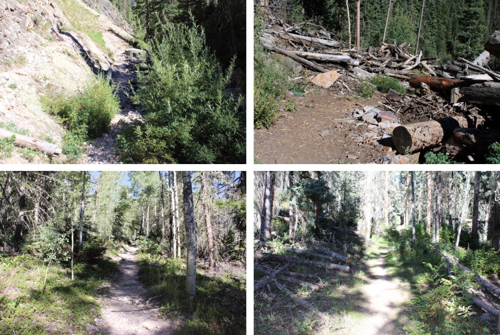
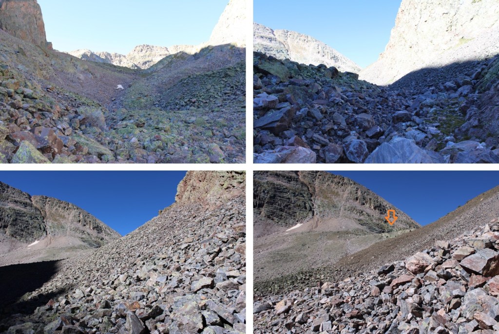
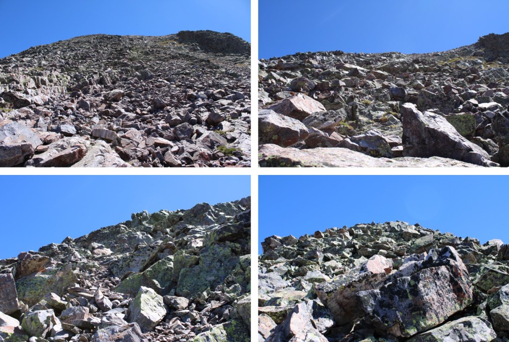
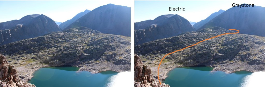
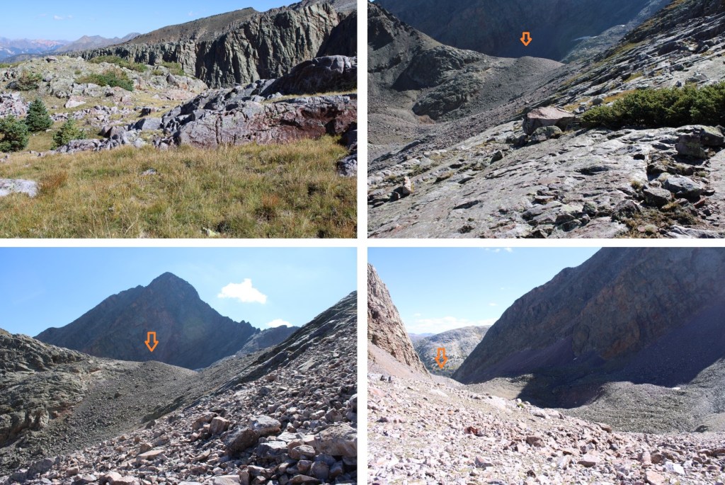
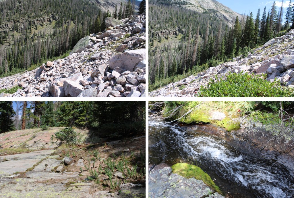
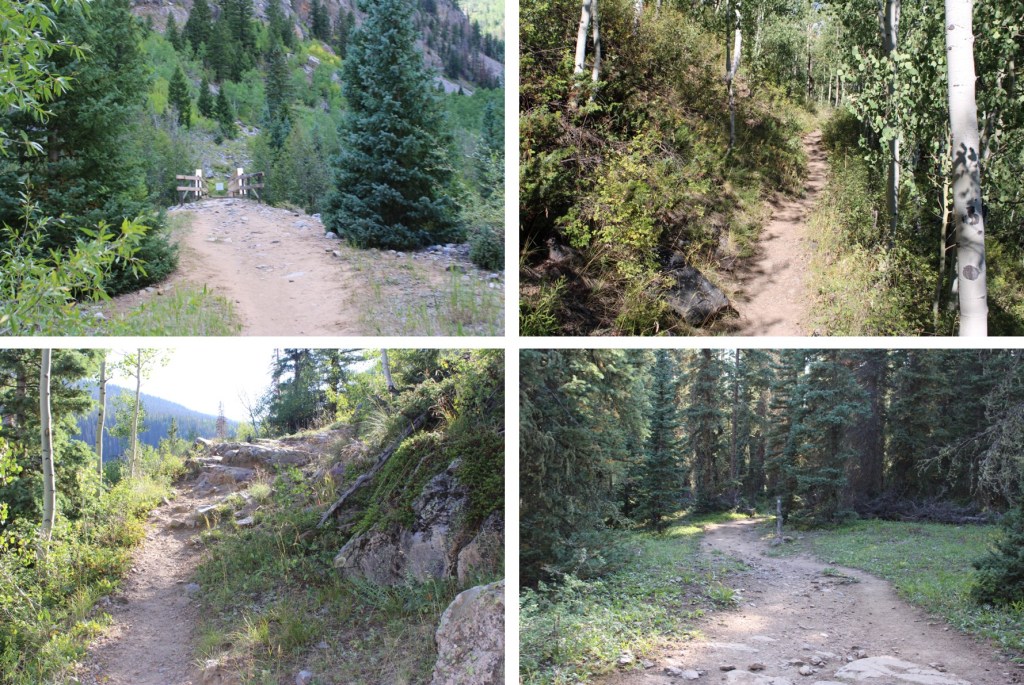
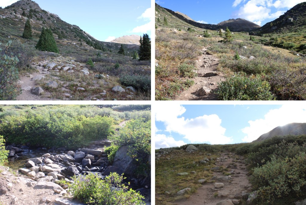
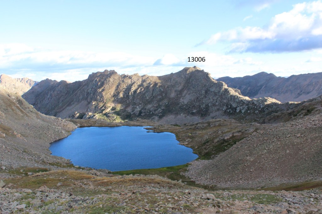
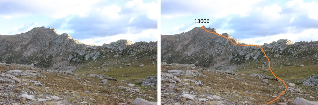
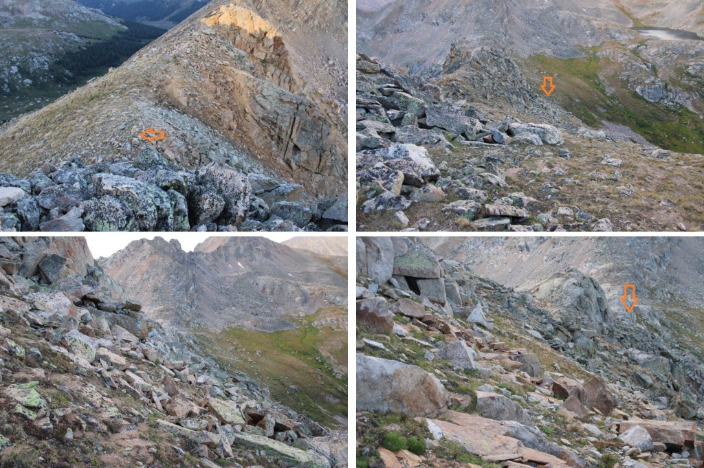
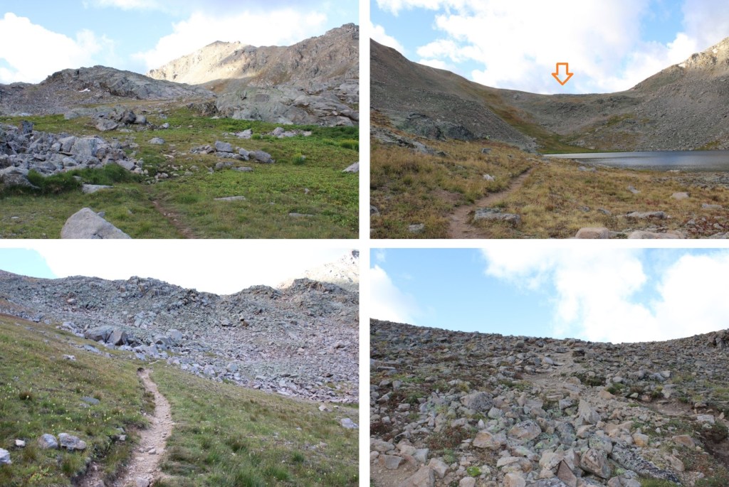
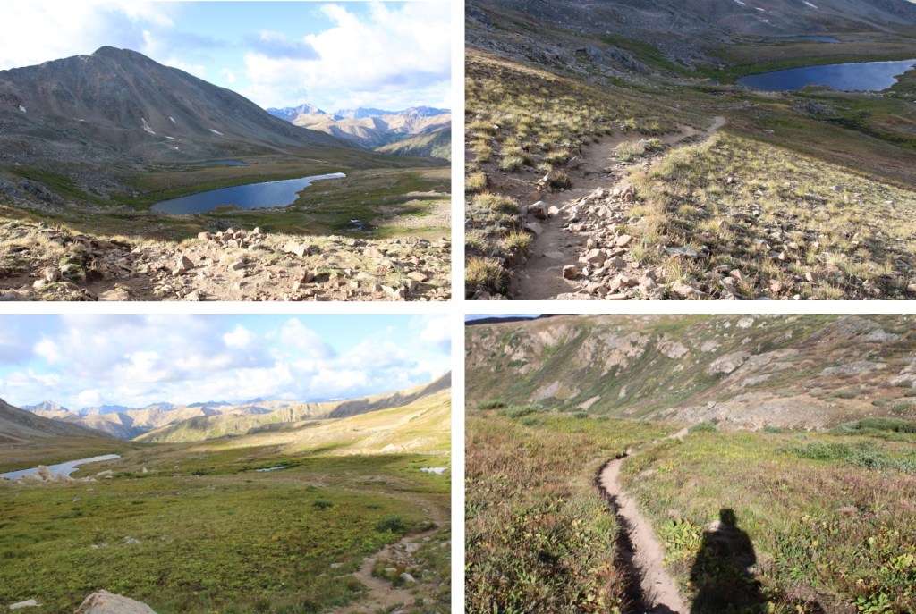
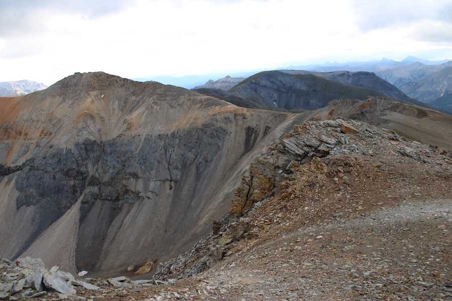
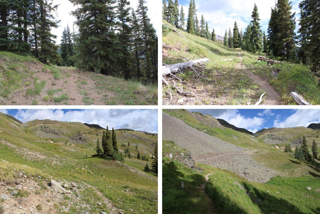
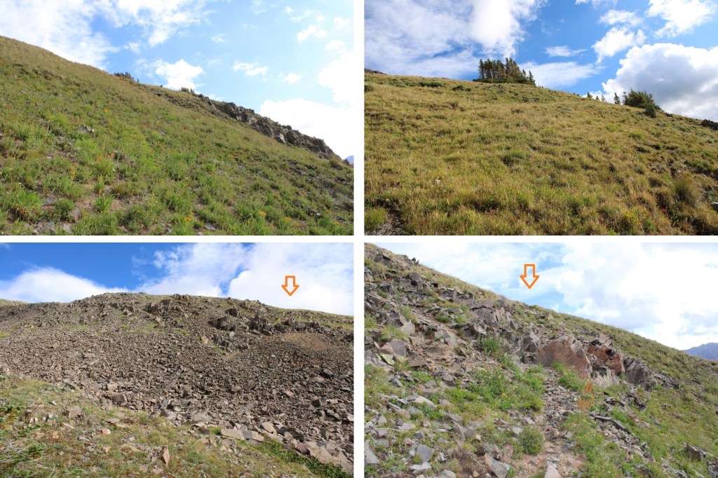
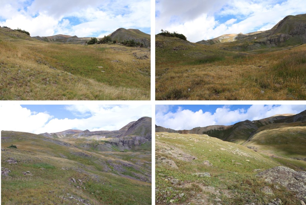
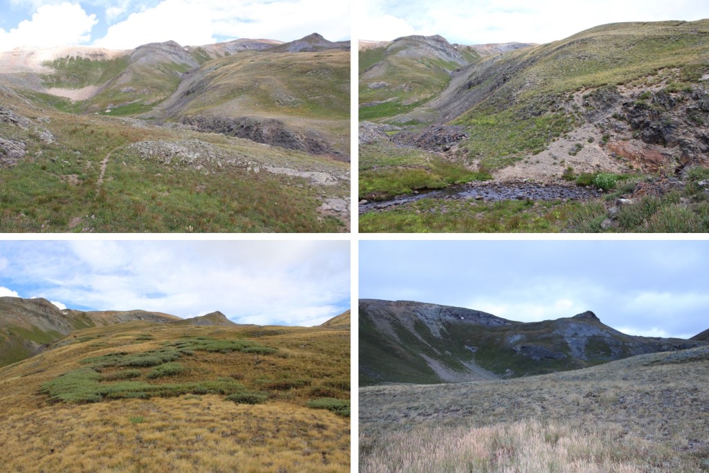
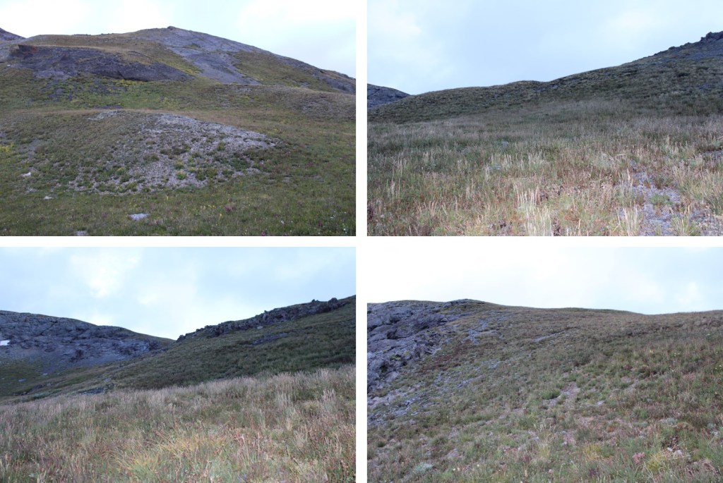
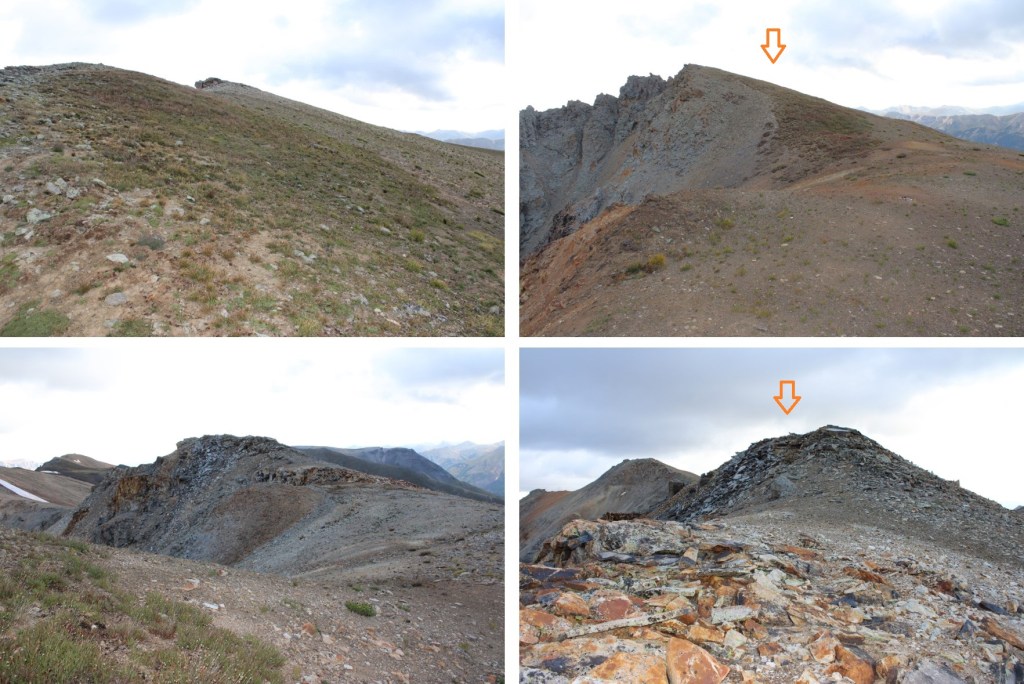
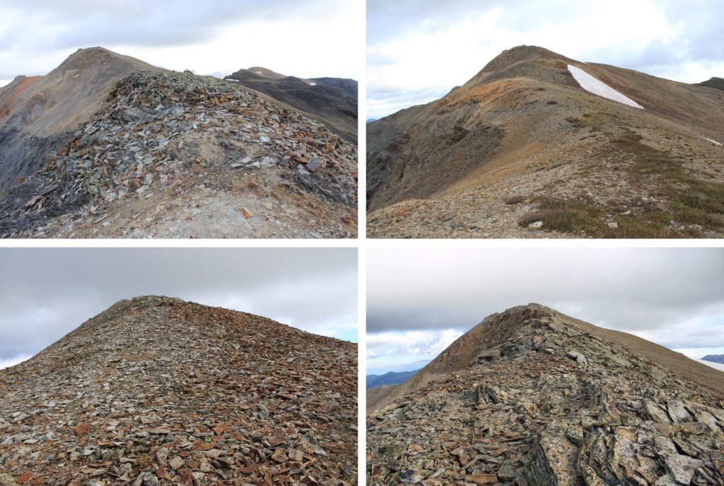
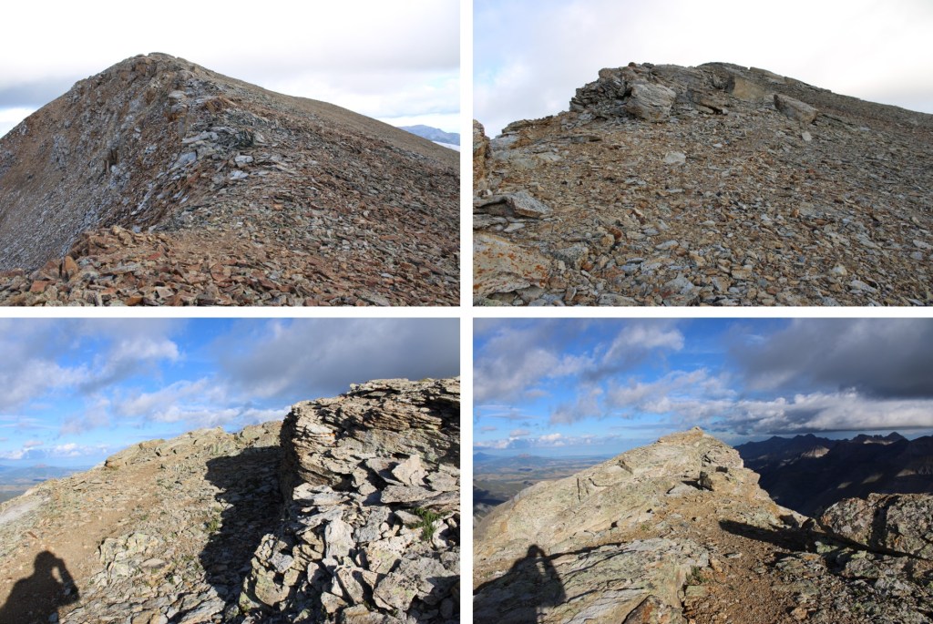
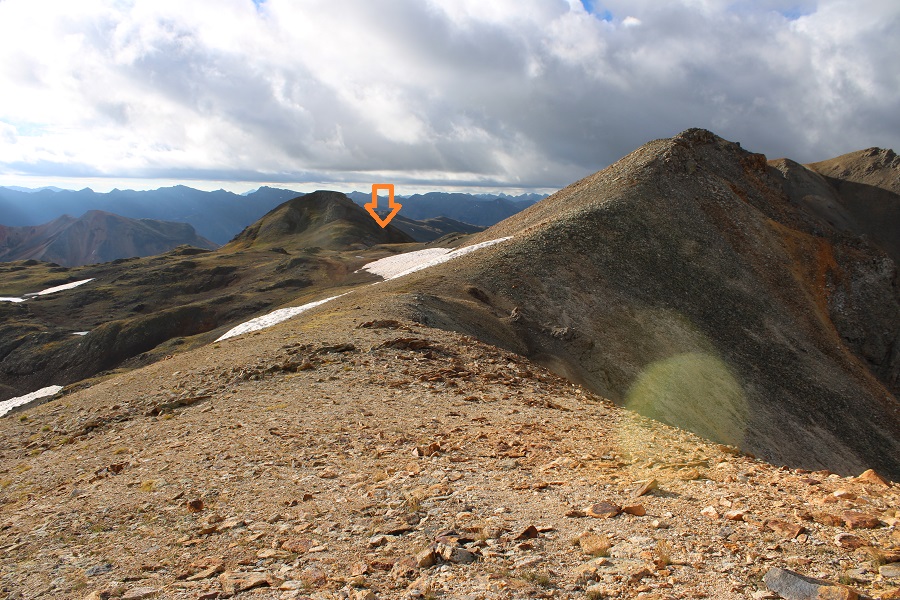
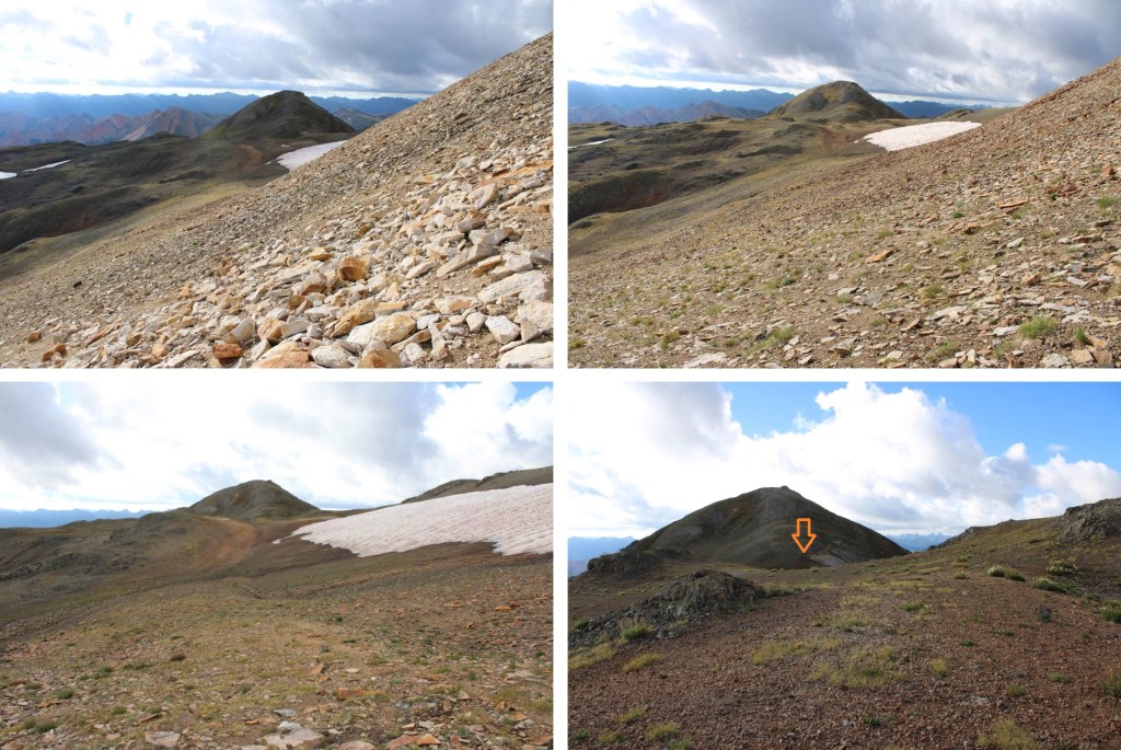
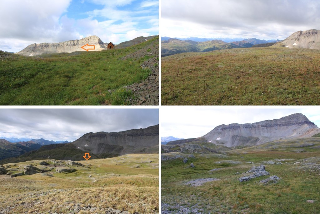
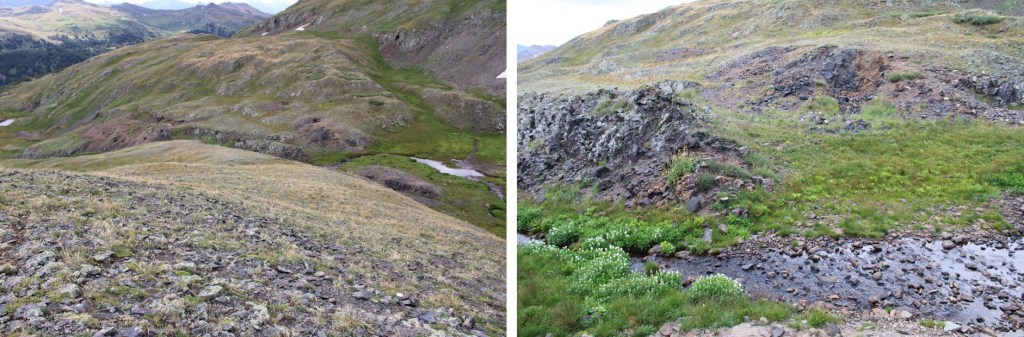
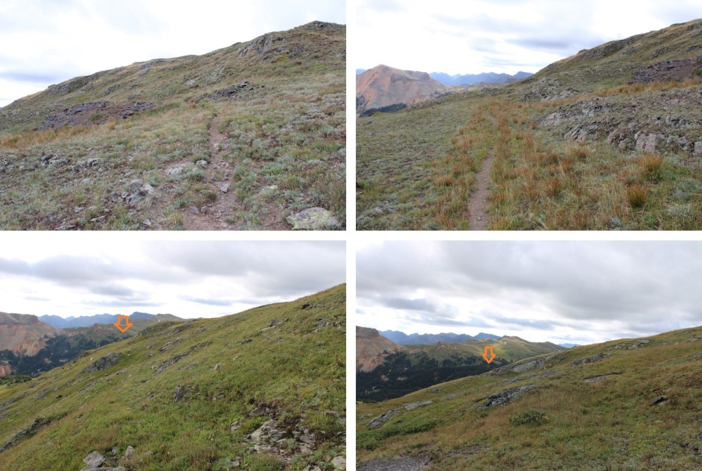
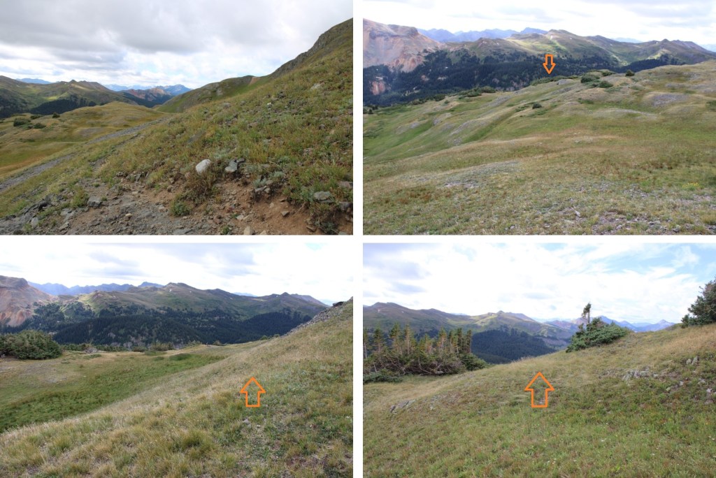
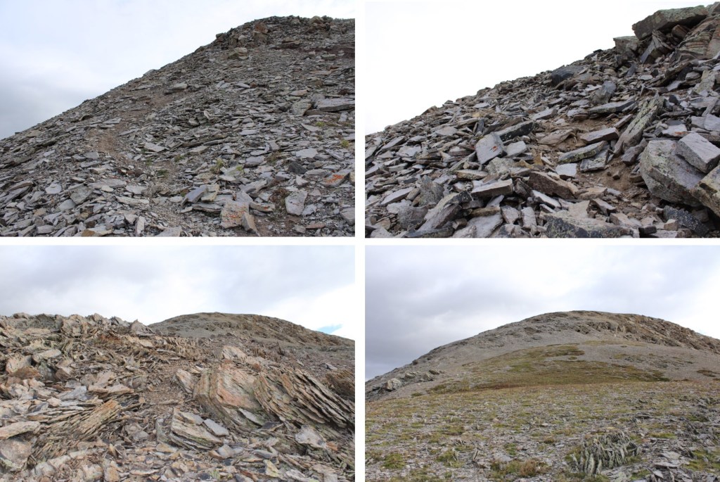
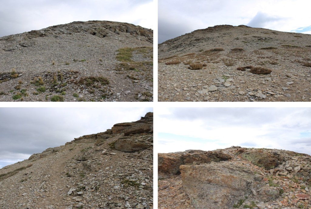
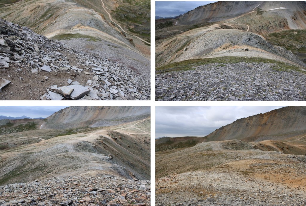
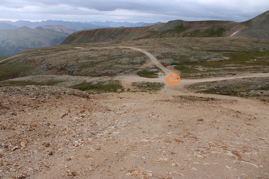
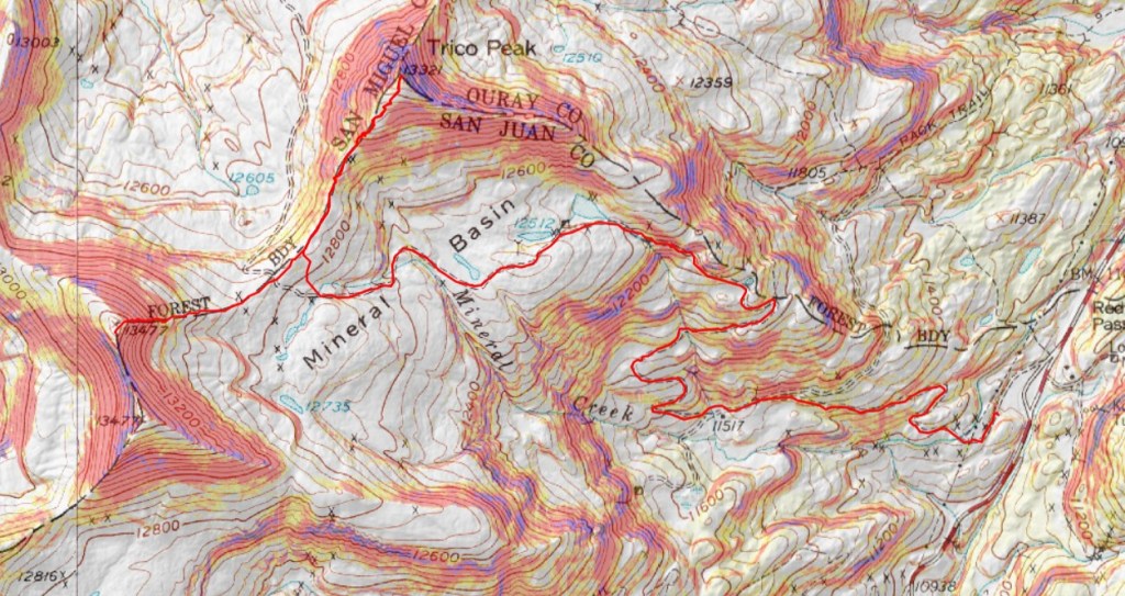
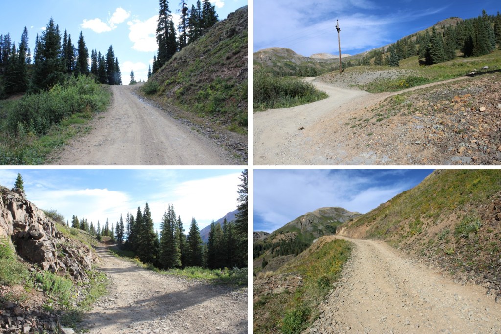
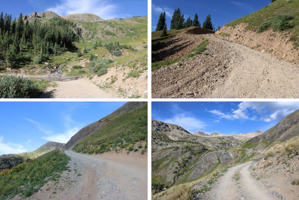
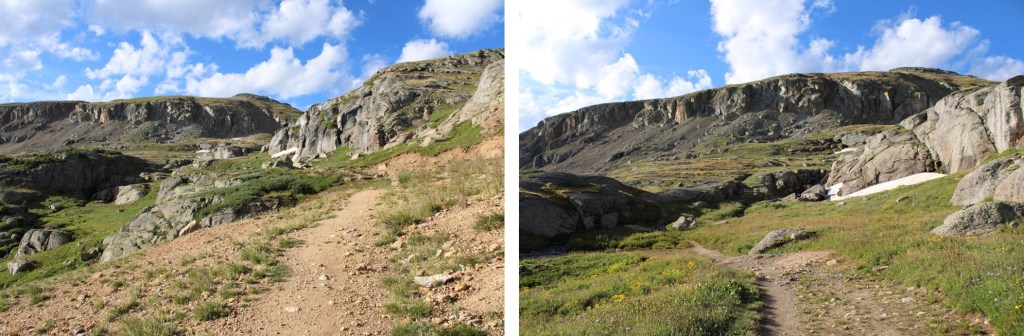
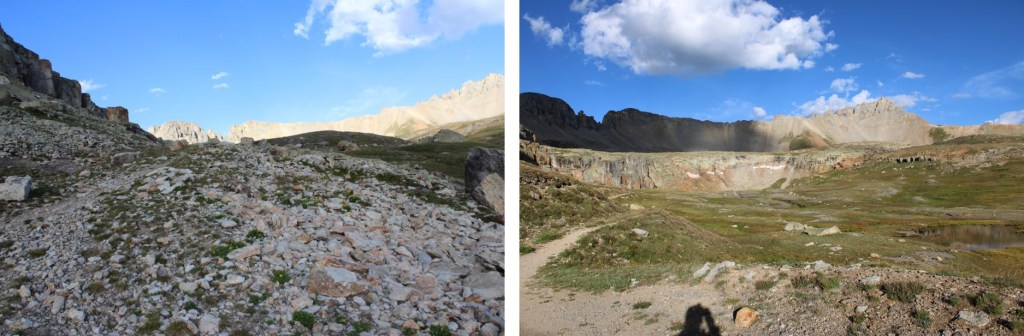
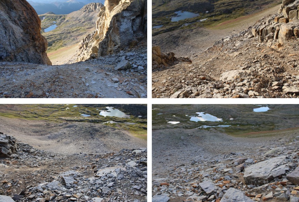
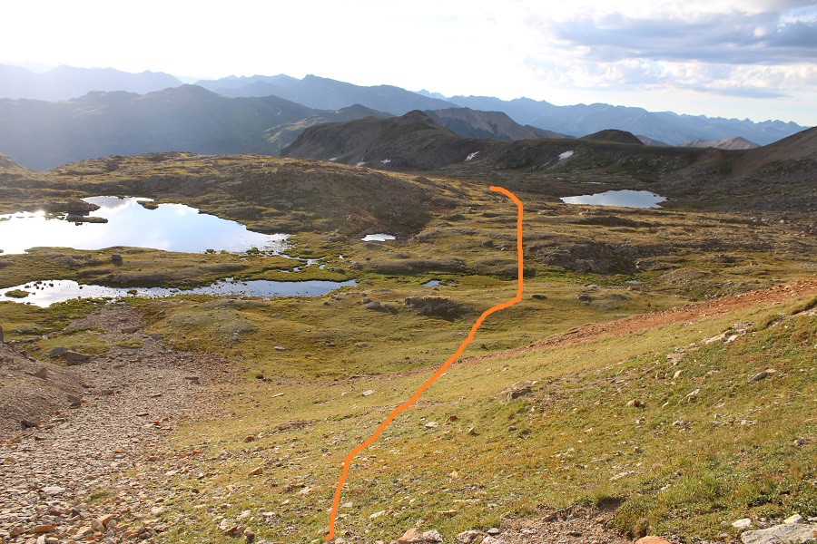
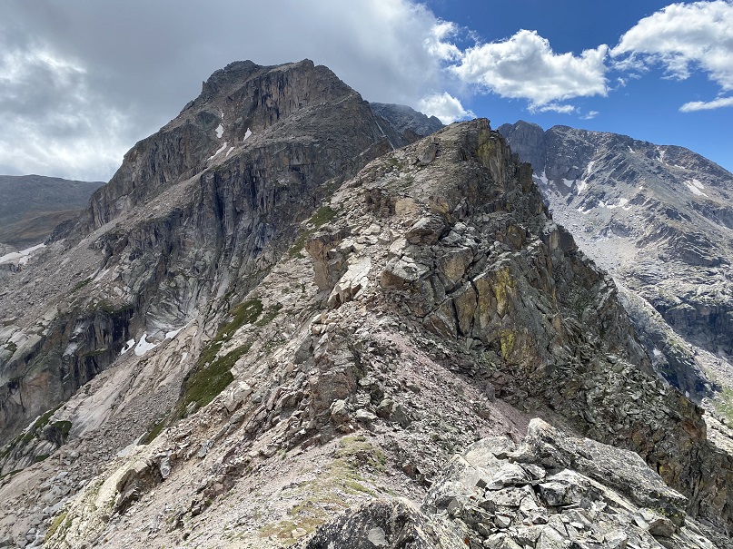
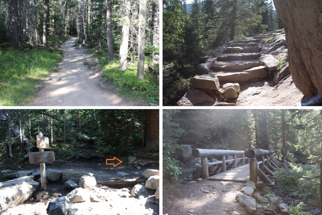
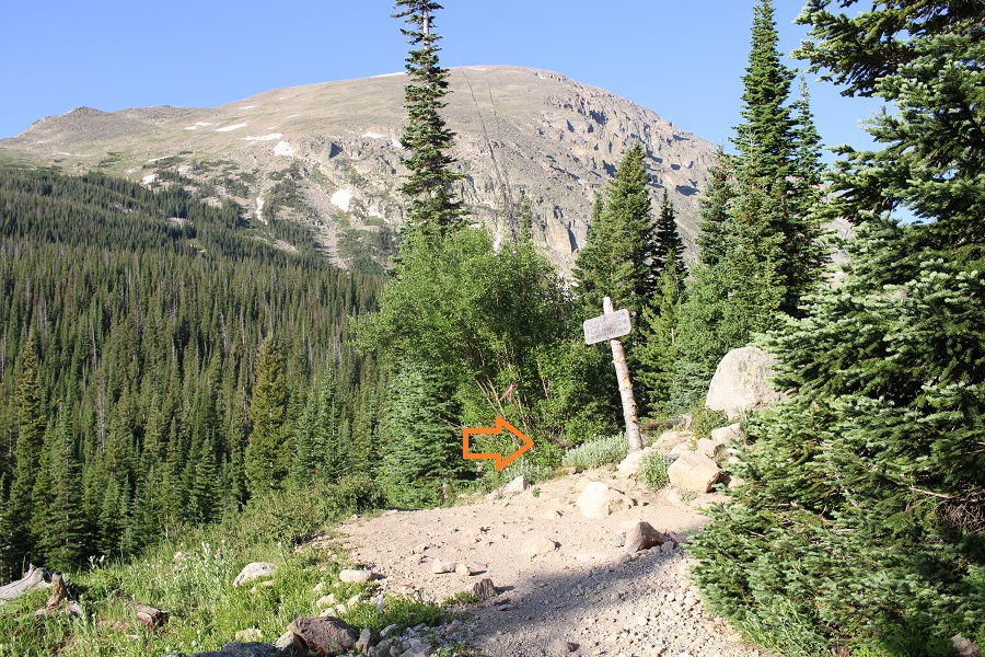
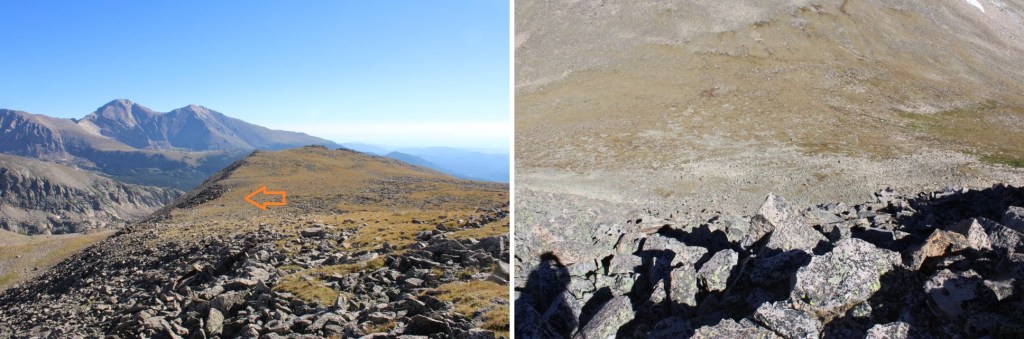
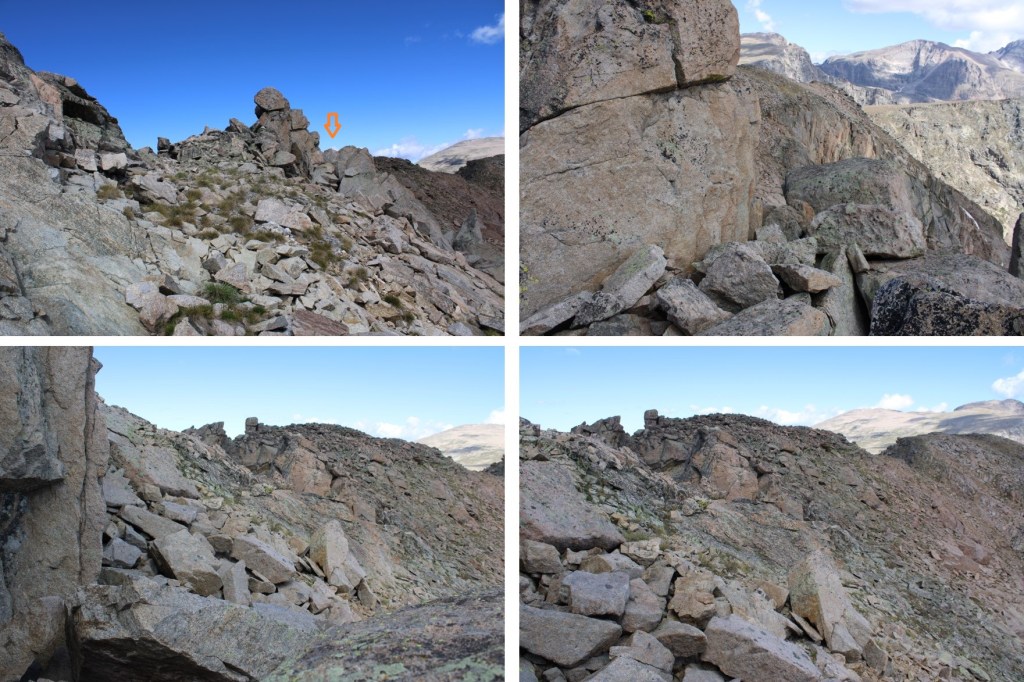
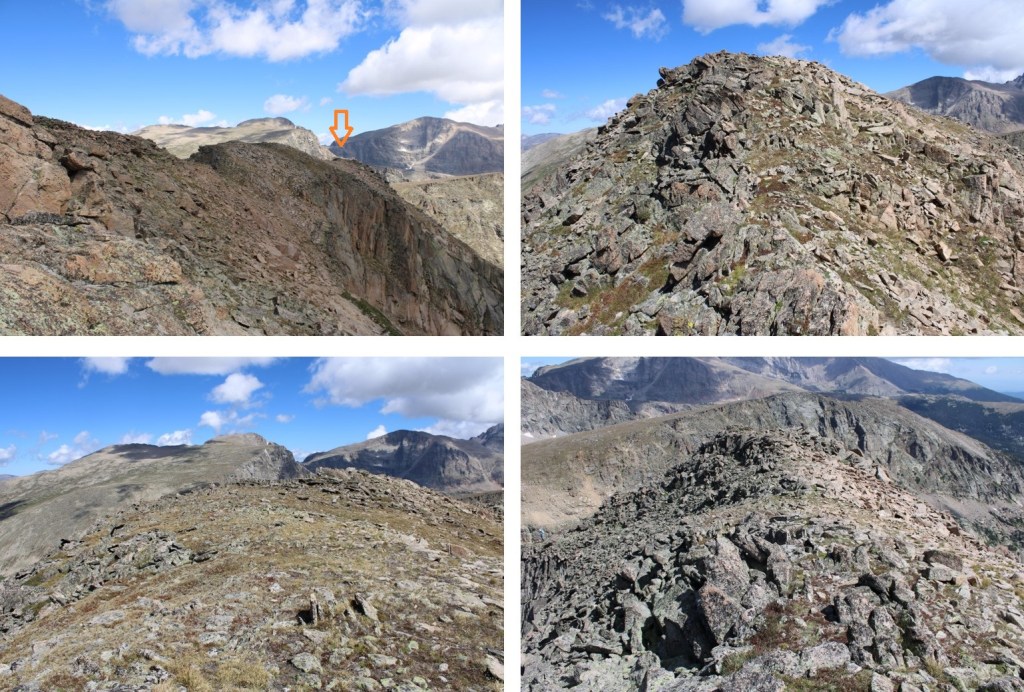
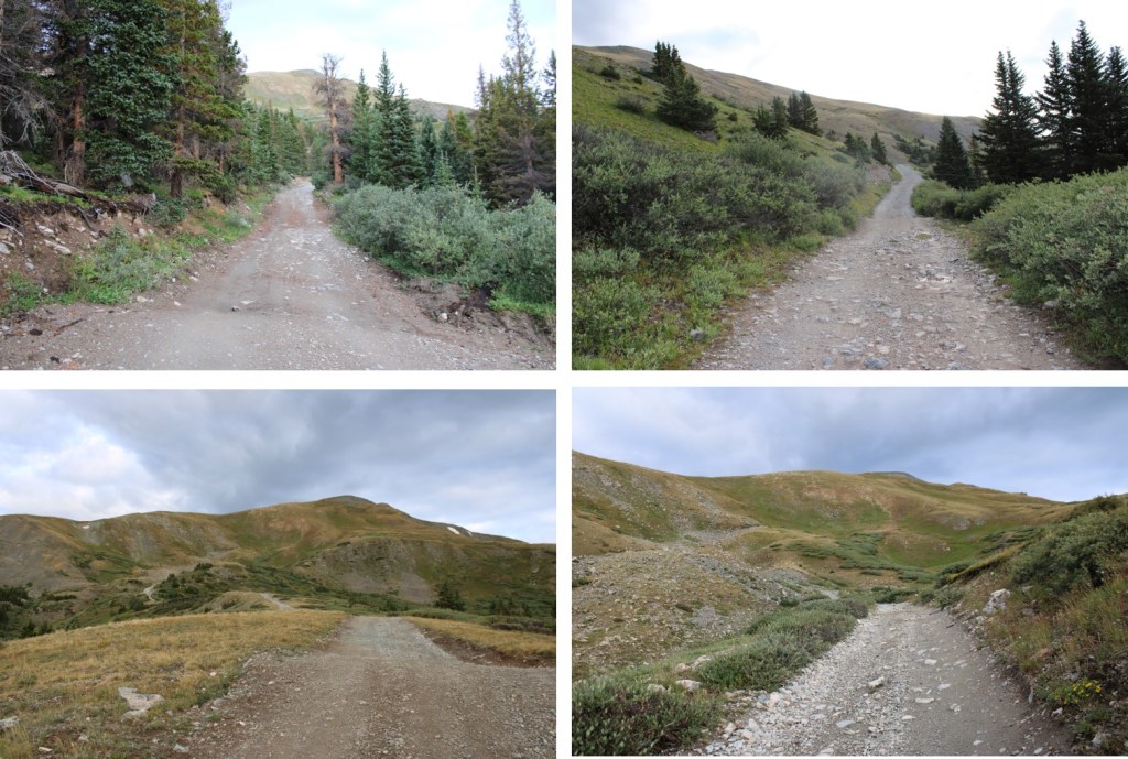
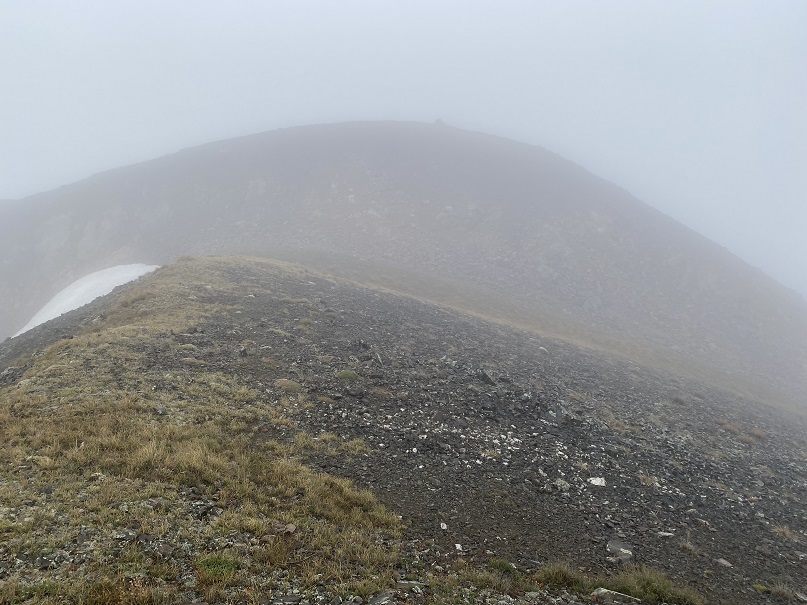
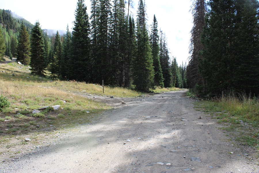
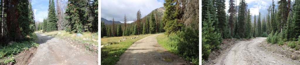
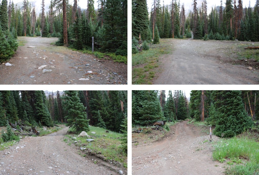
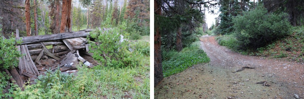
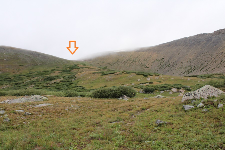
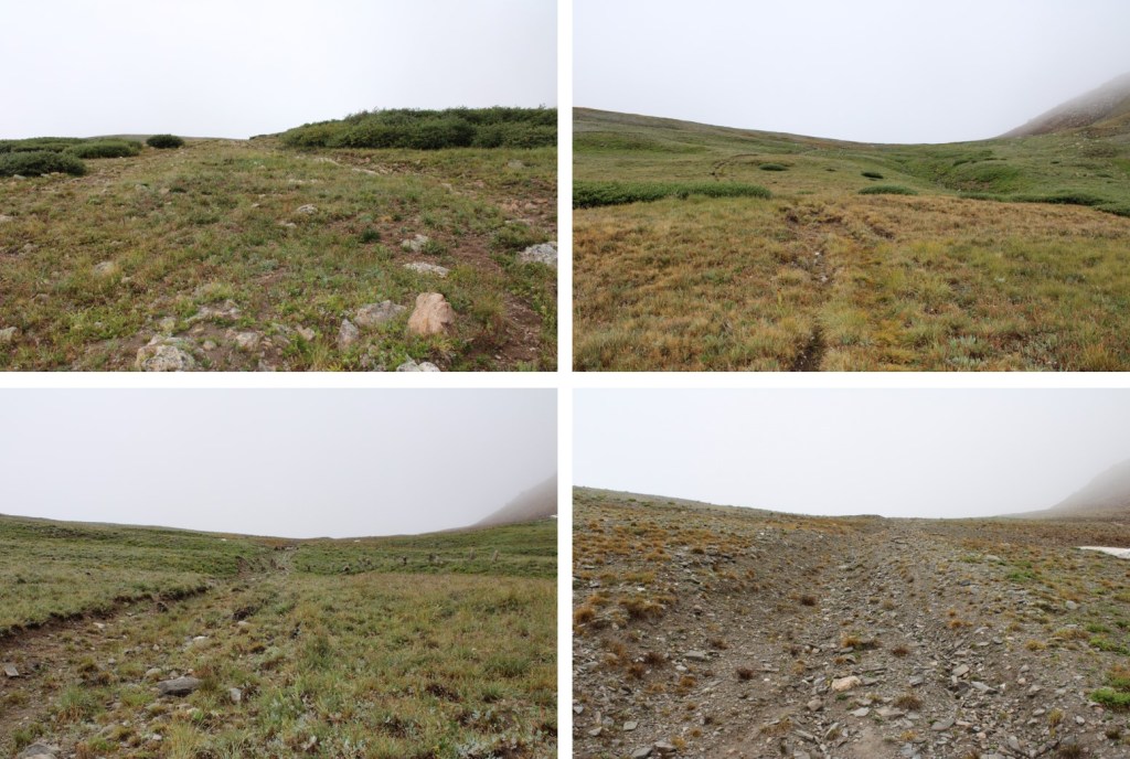
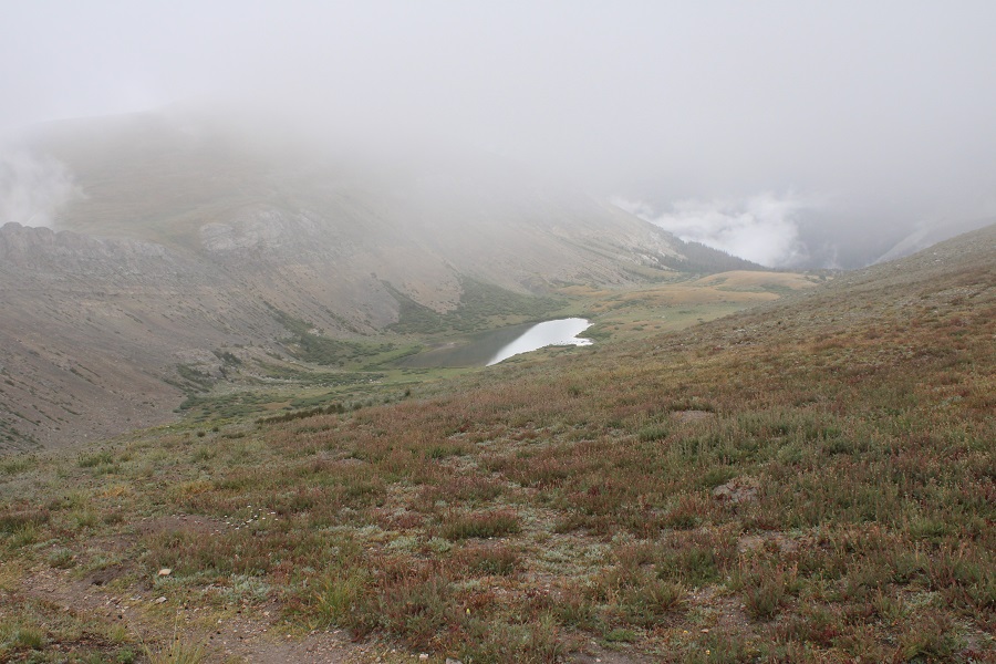
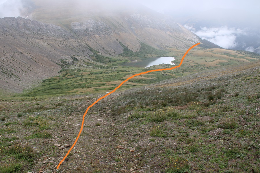
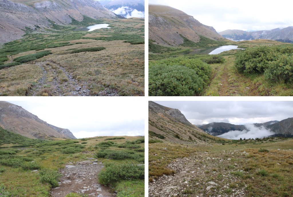
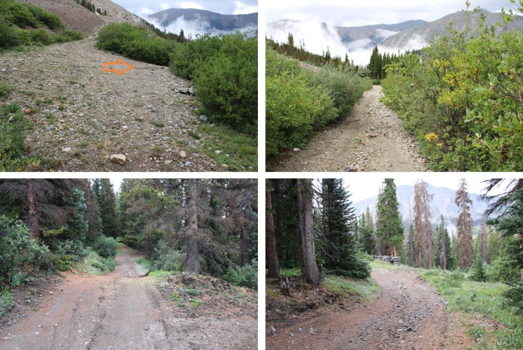
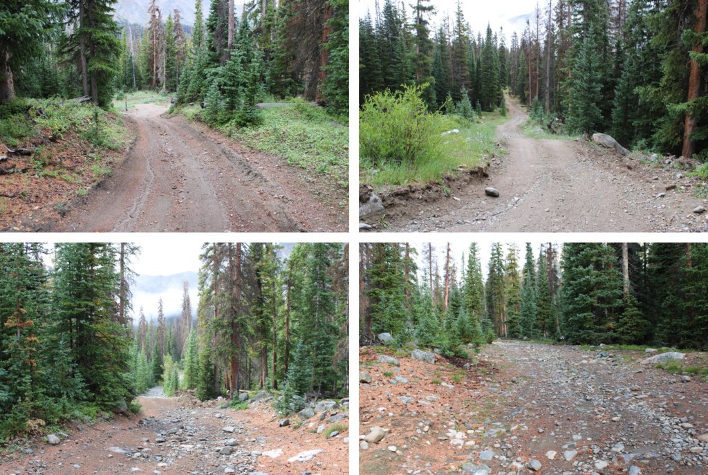
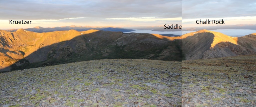
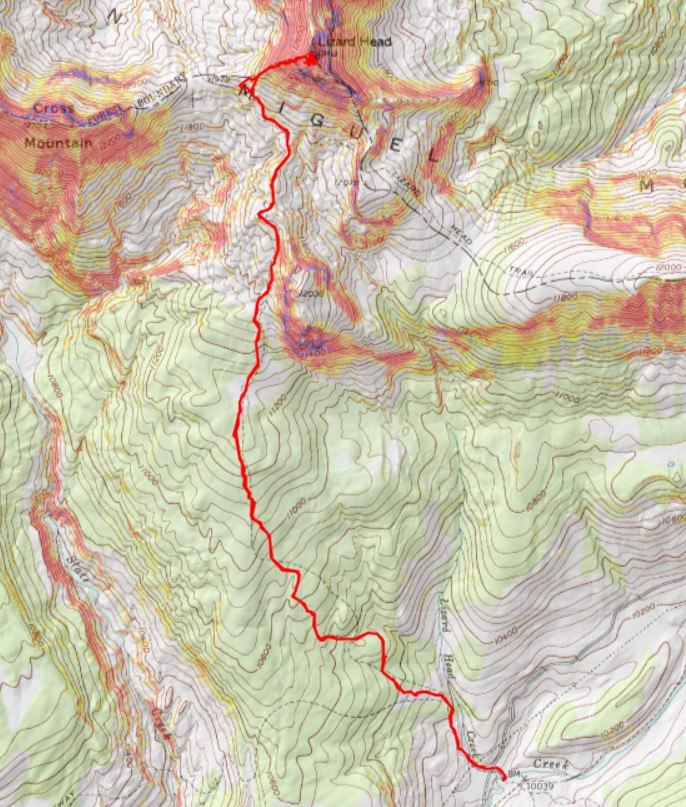
I followed the Cross Mountain Trail on a well-defined, class 1 path for what CalTopo tells me was 4 miles, before being able to see Lizard Head in the distance


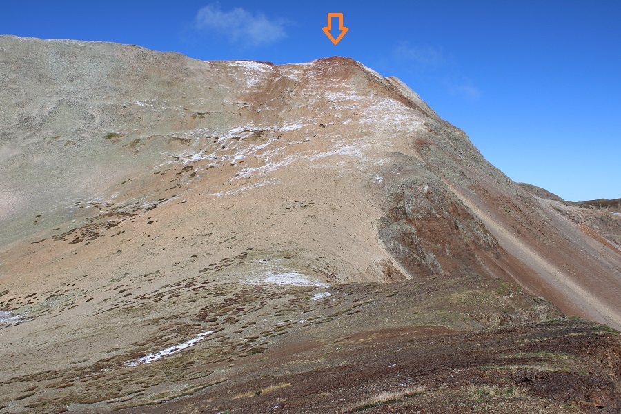
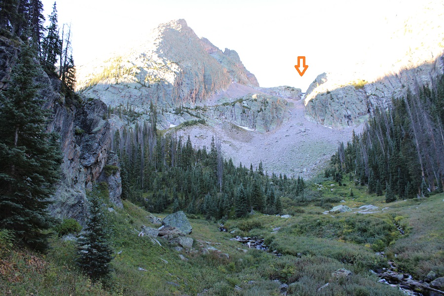
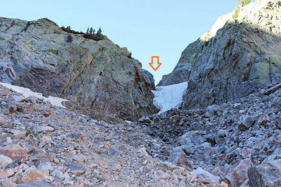
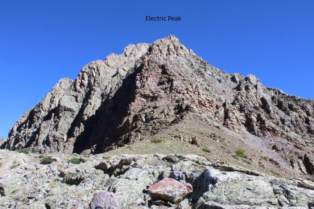
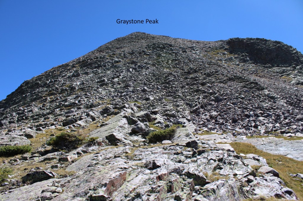
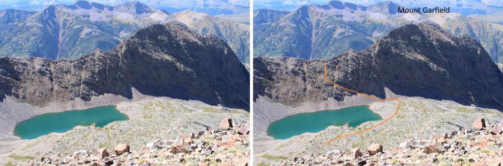
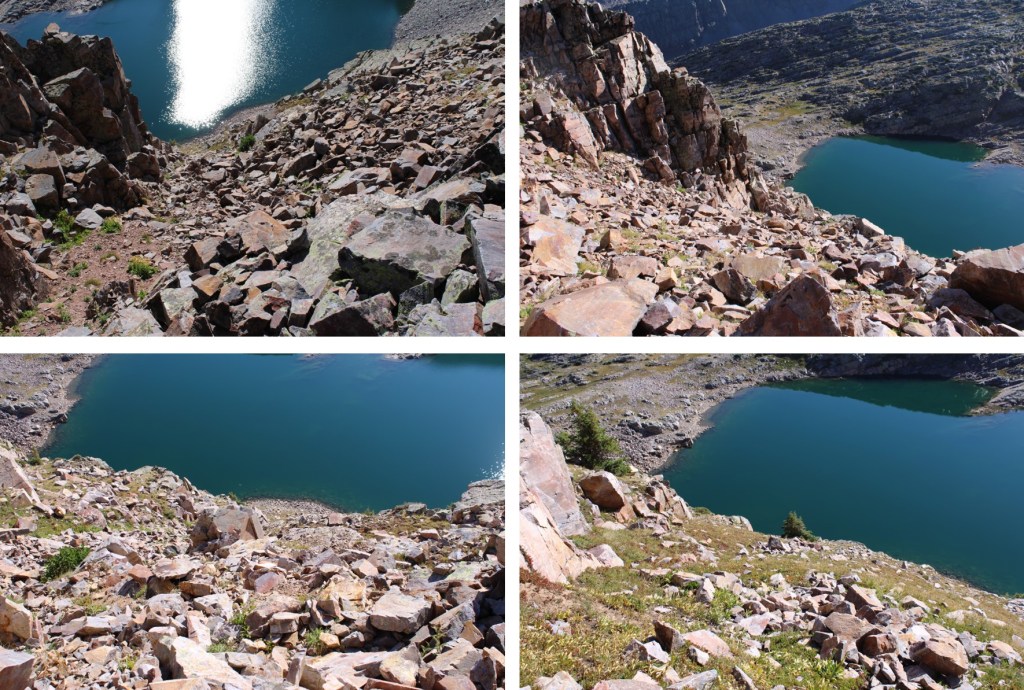
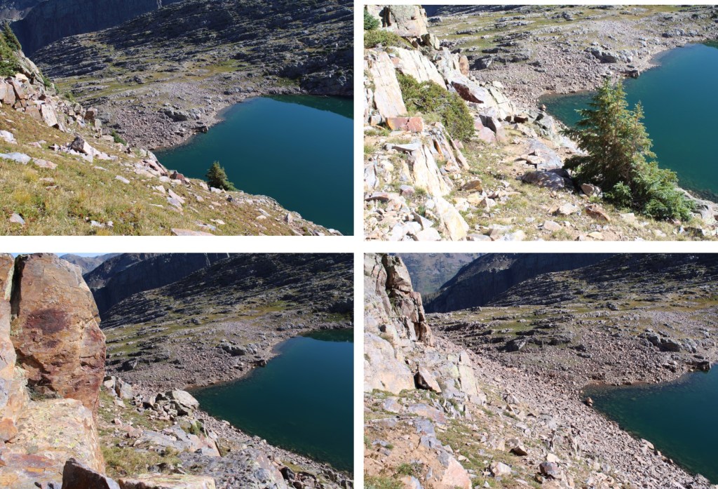
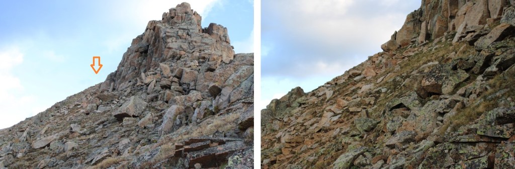
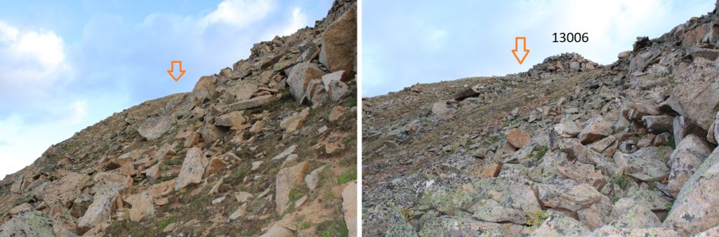
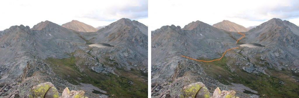
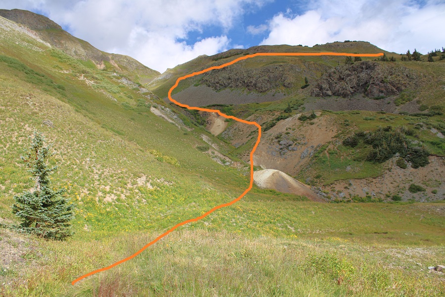
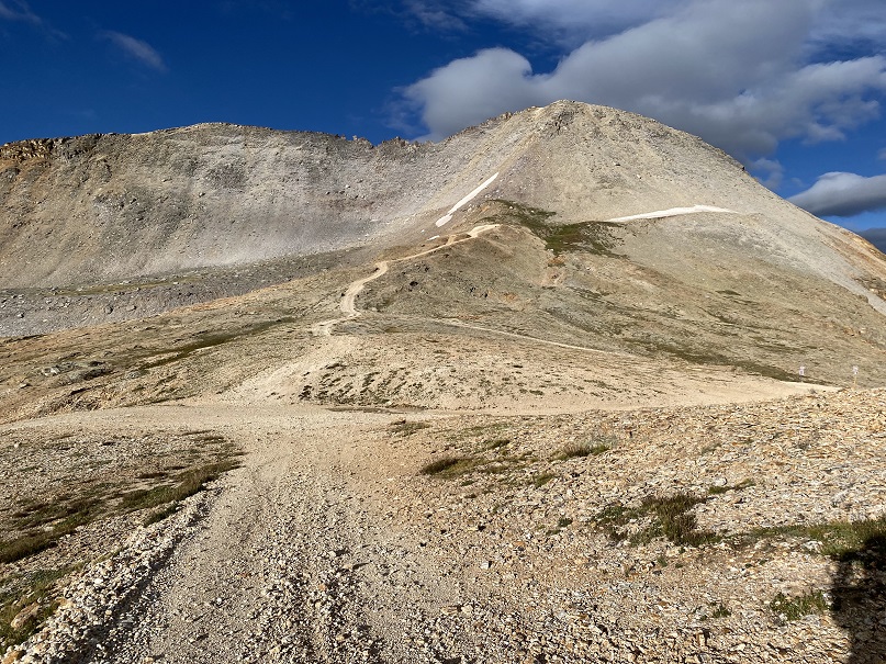
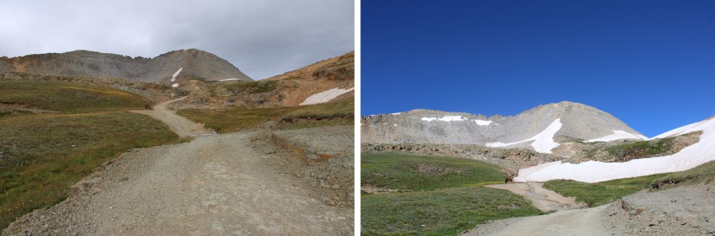
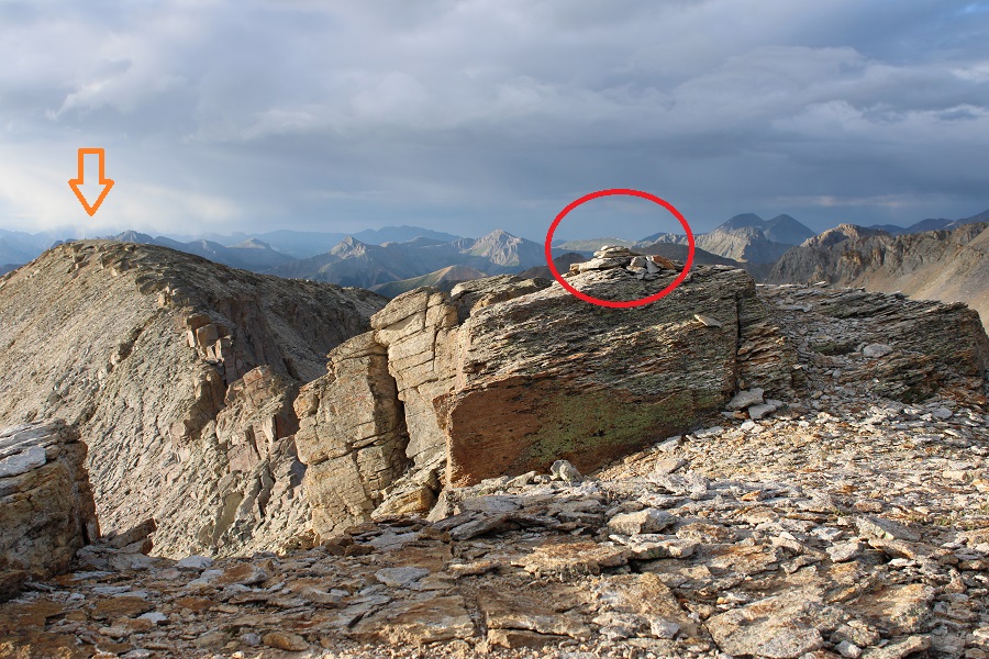
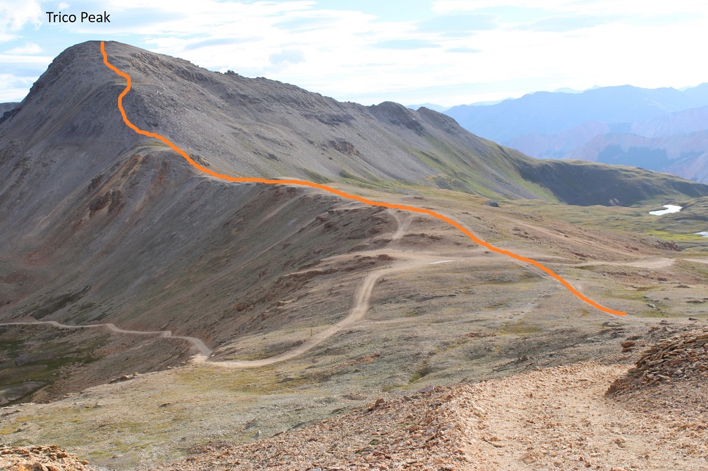
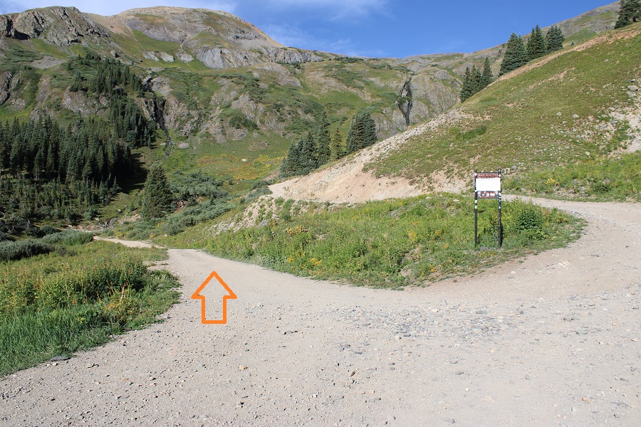
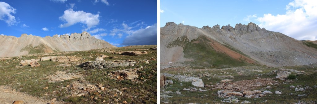
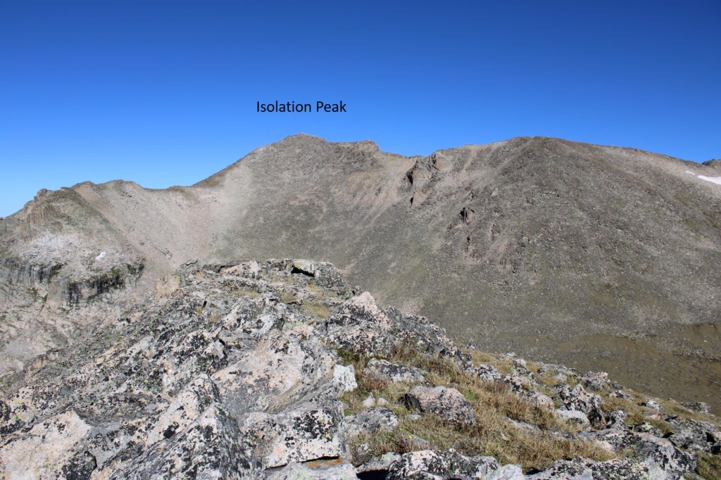
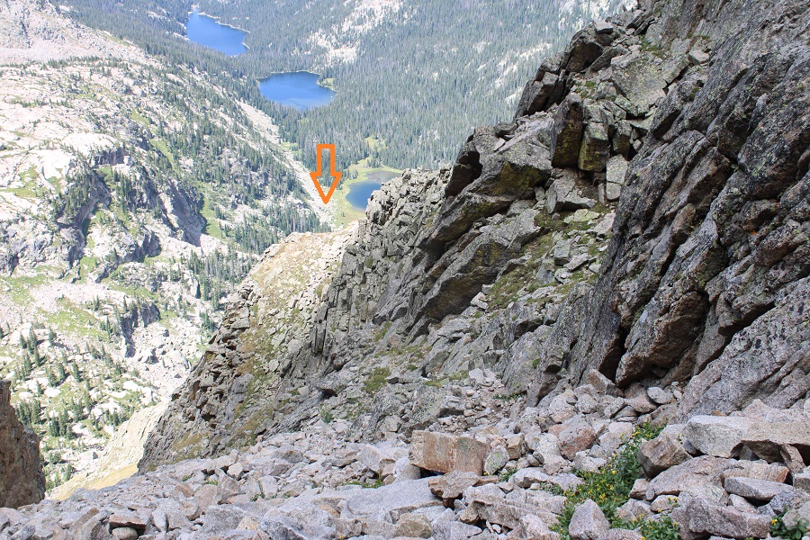
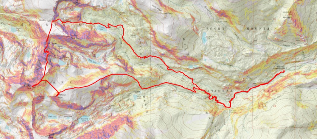
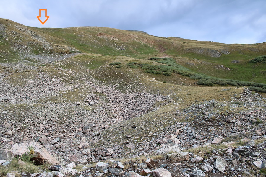
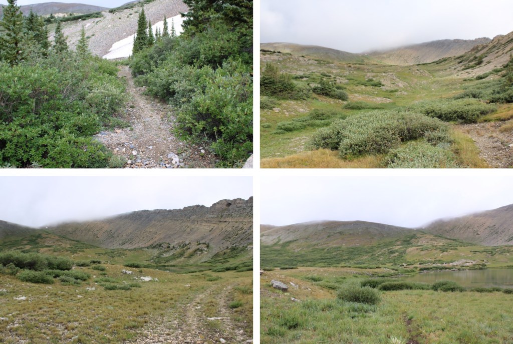
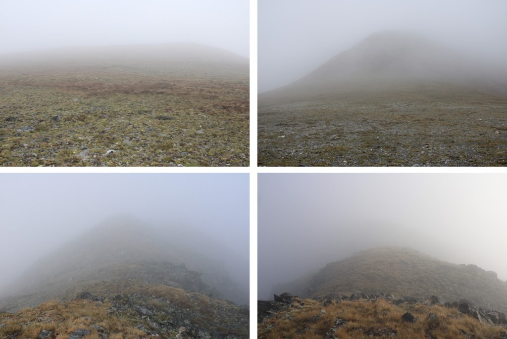
Access to Lizard Head is from the east

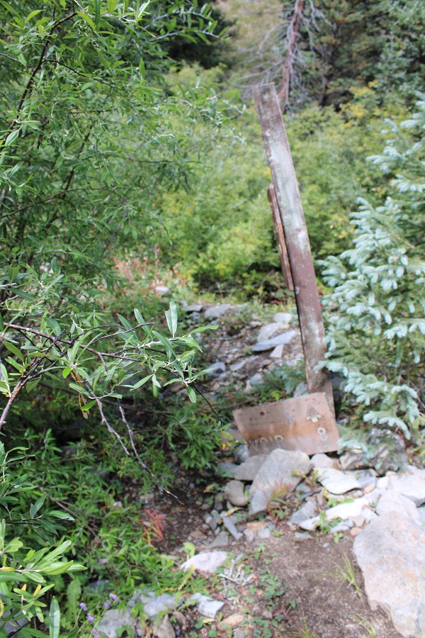
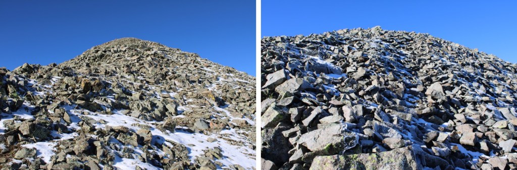
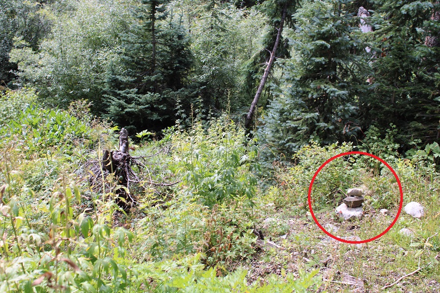
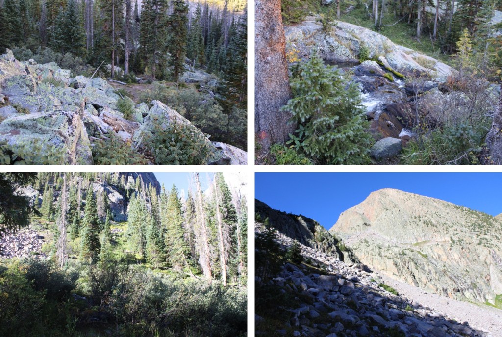
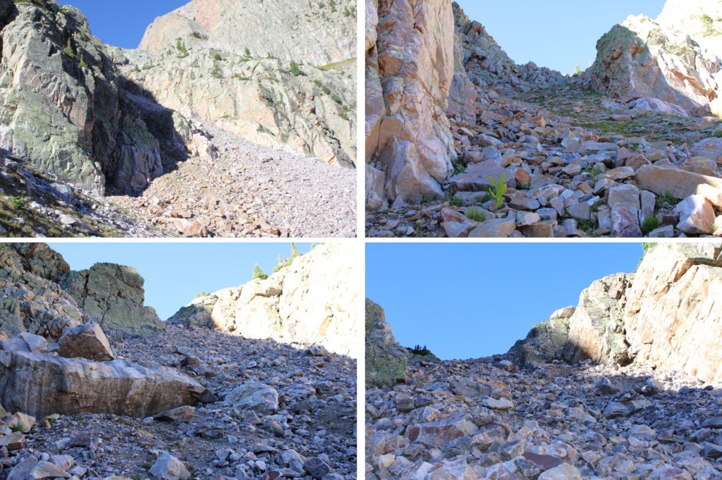
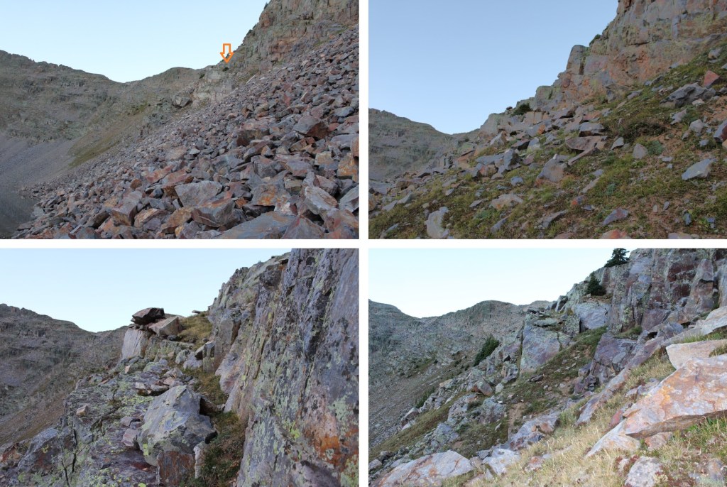
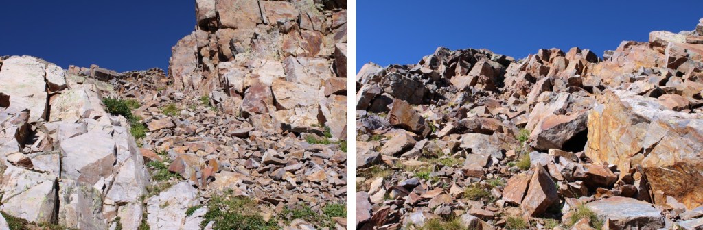
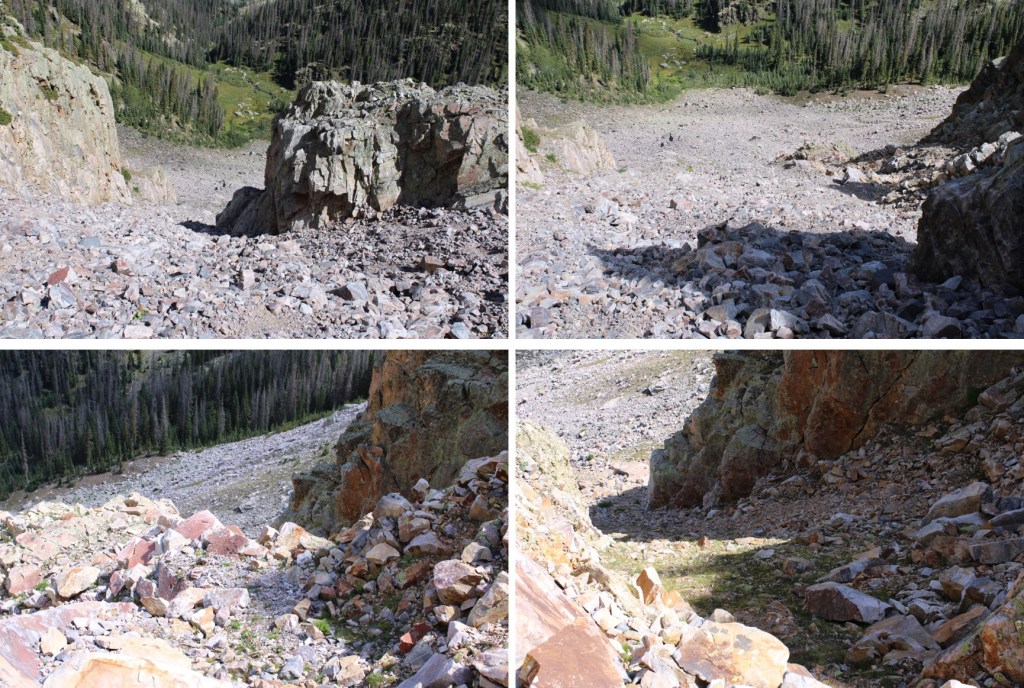
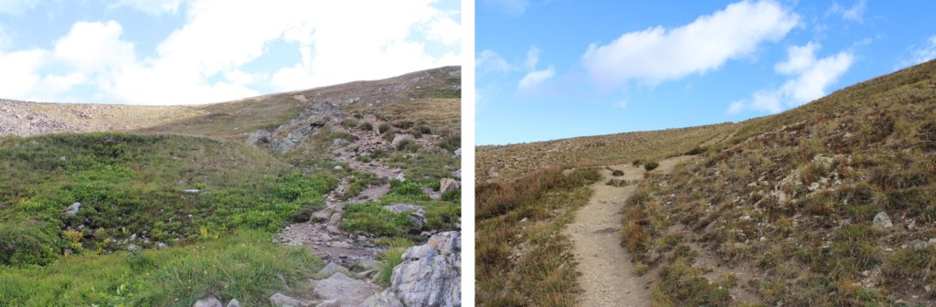
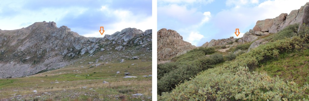
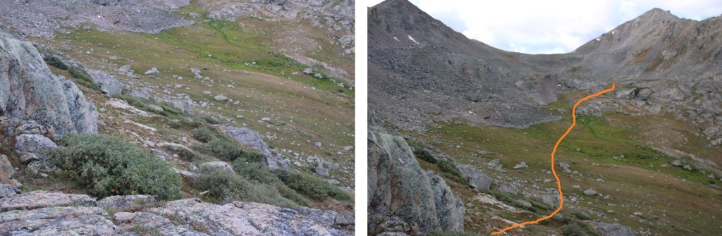
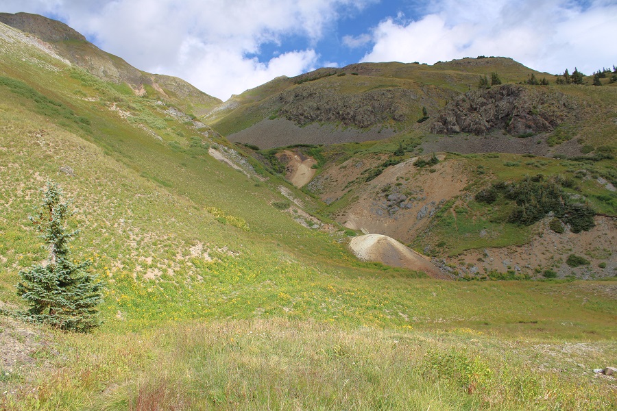
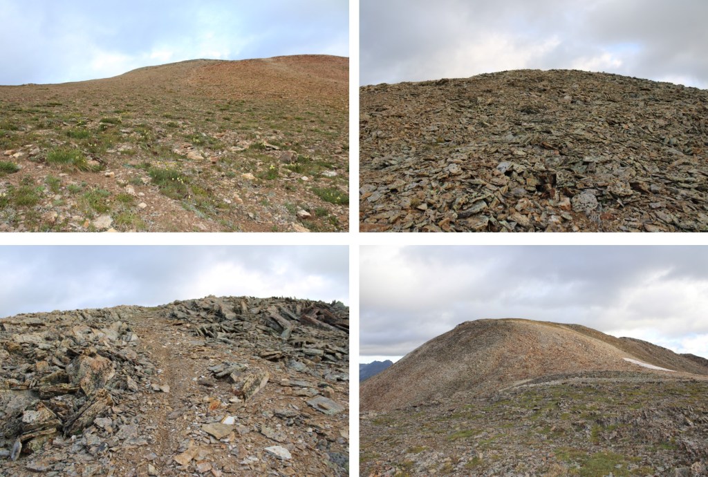
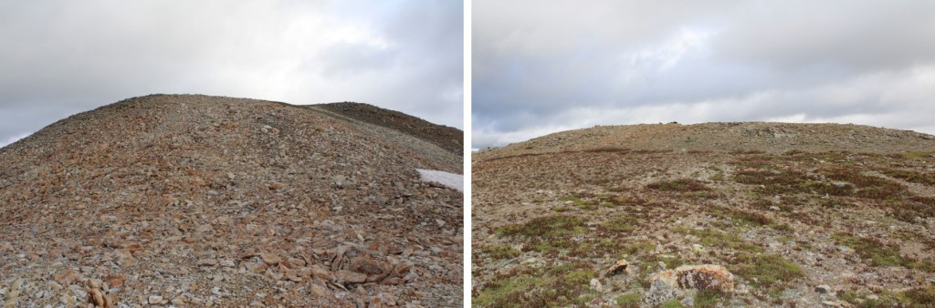
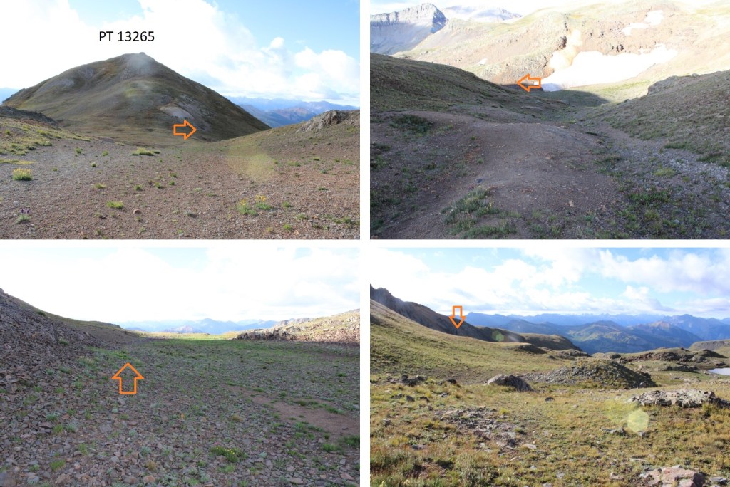
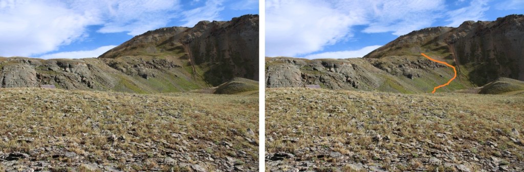
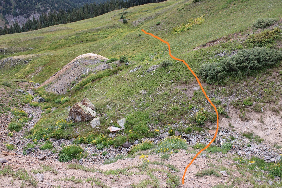
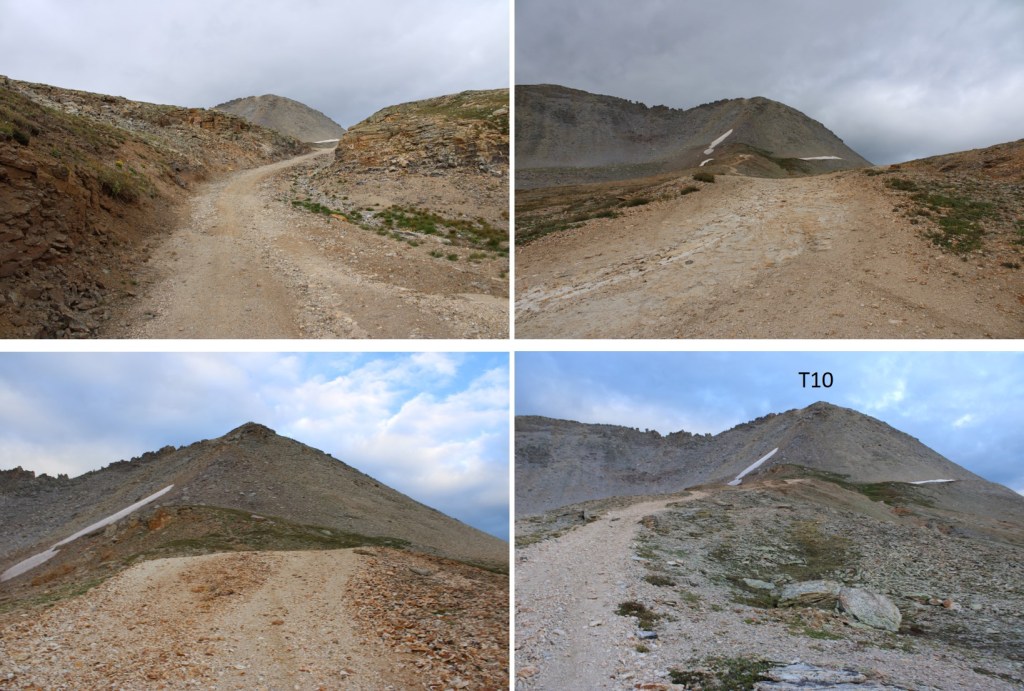
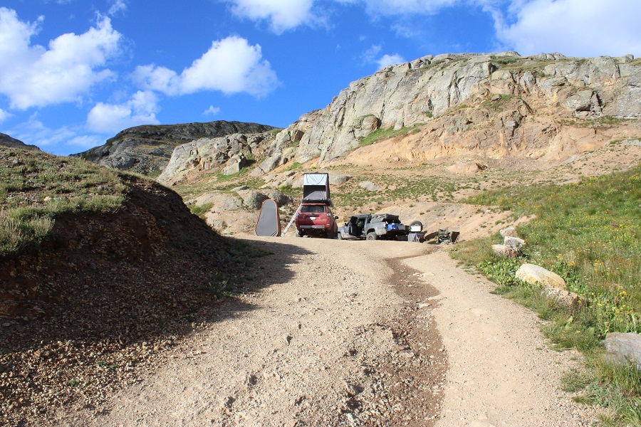
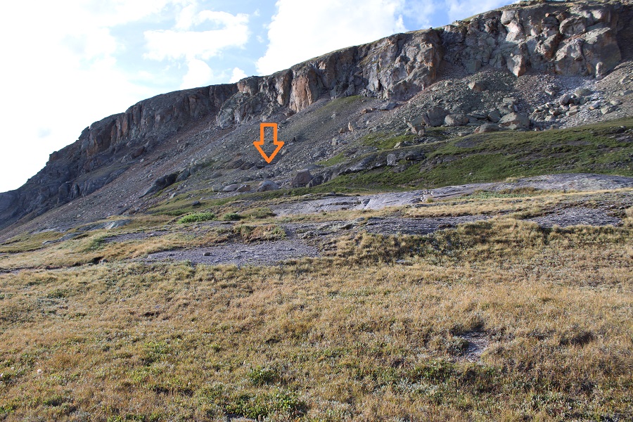
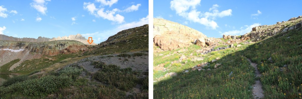
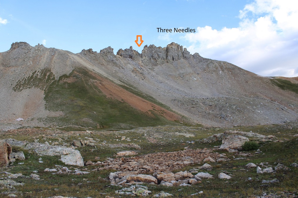
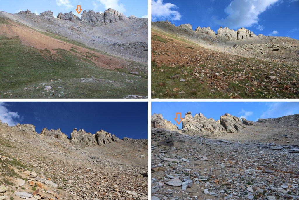
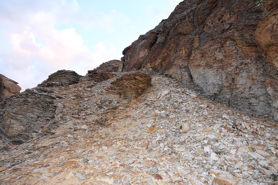
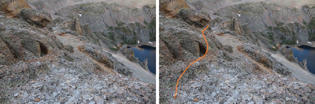
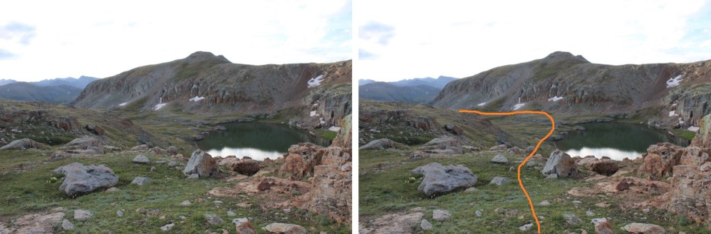
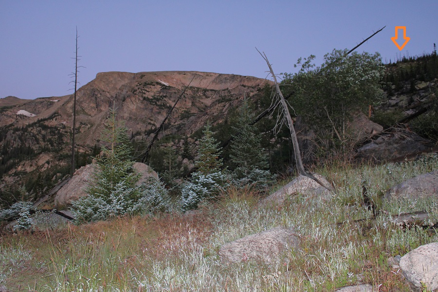
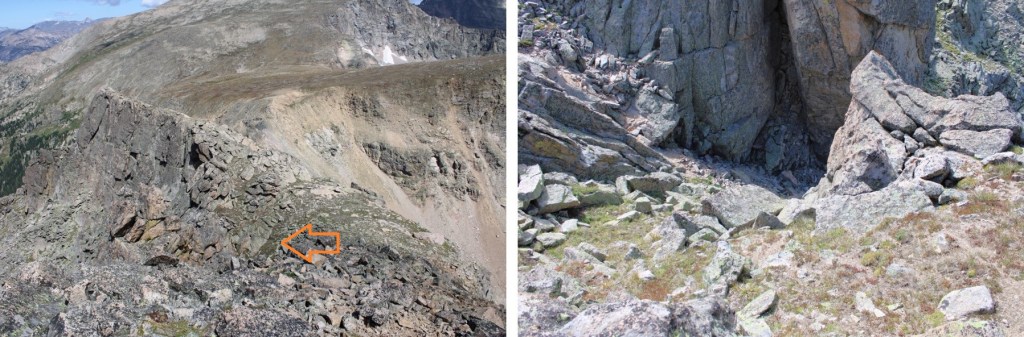
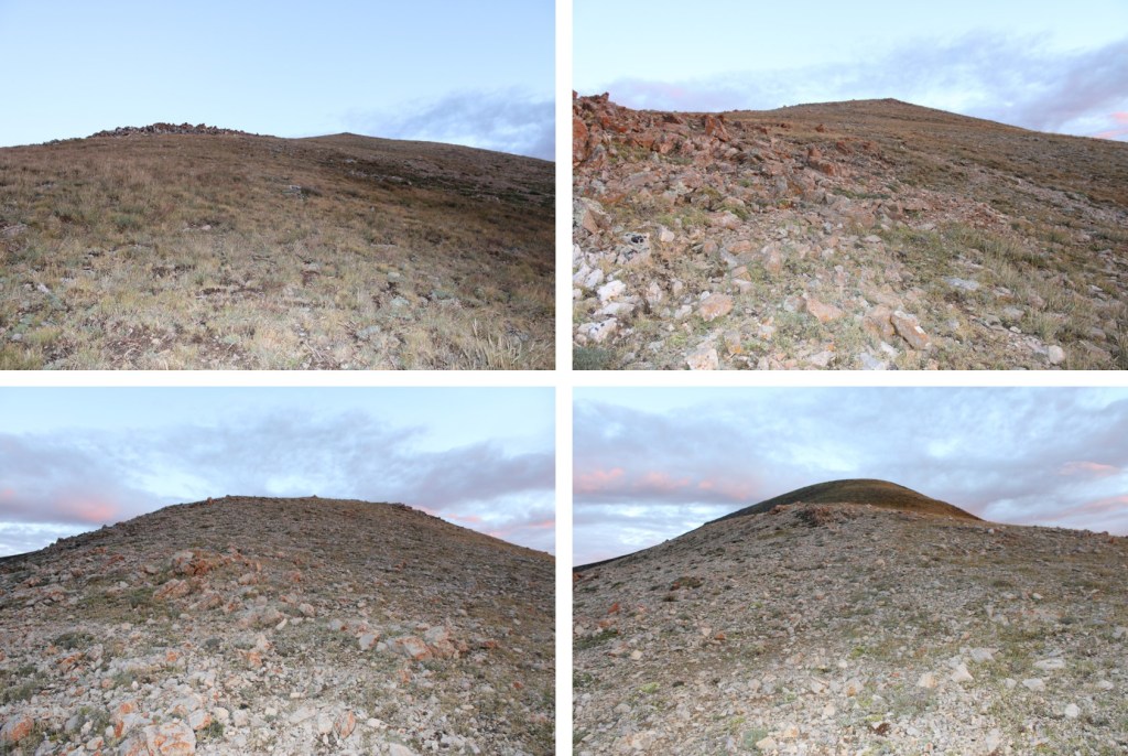
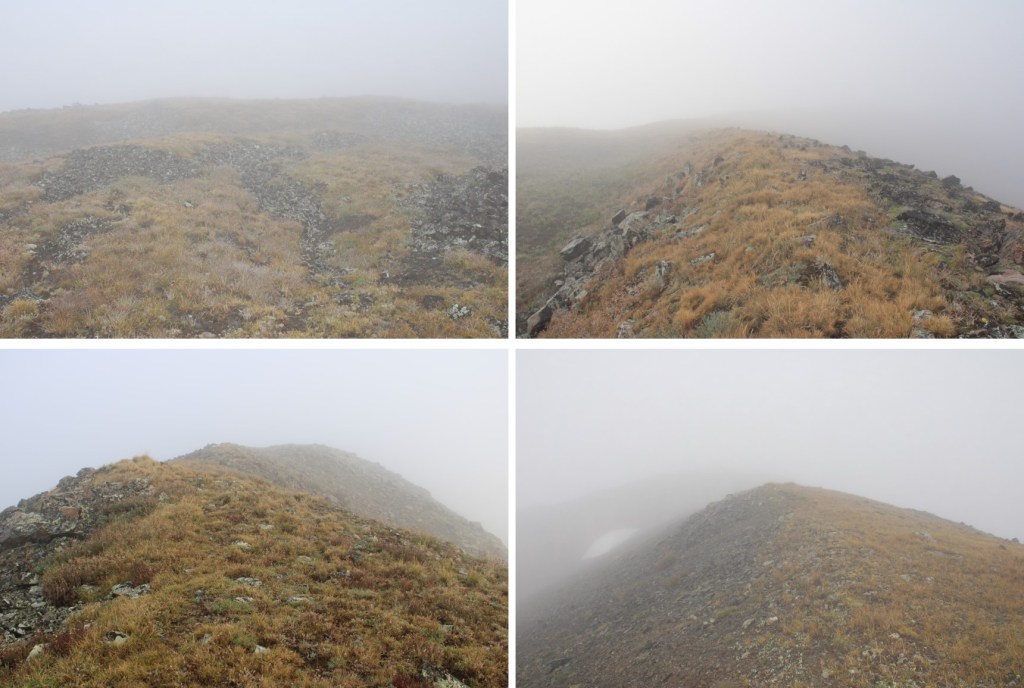
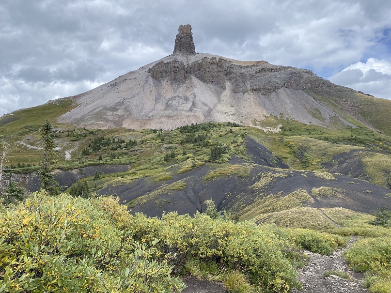
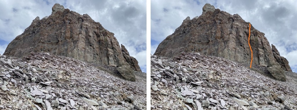
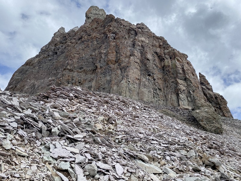
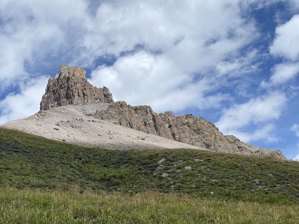
There is a well-defined climbers trail here to the base of the climb on loose talus. The goal was to make it here:

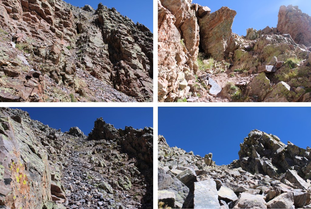
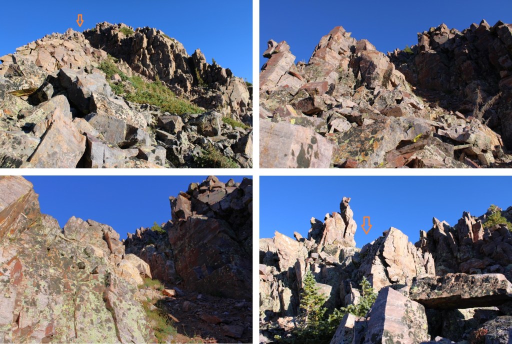
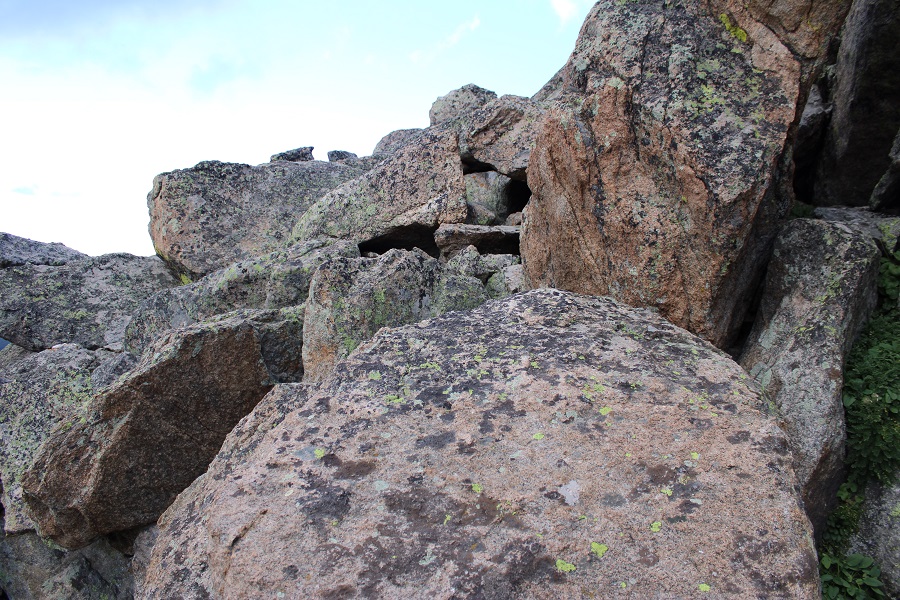
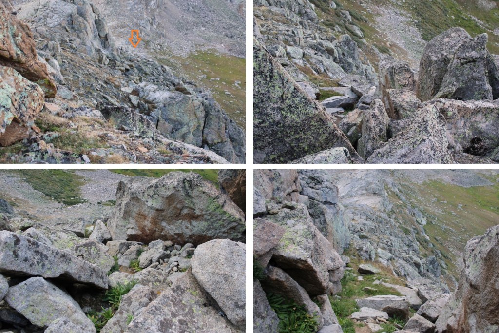
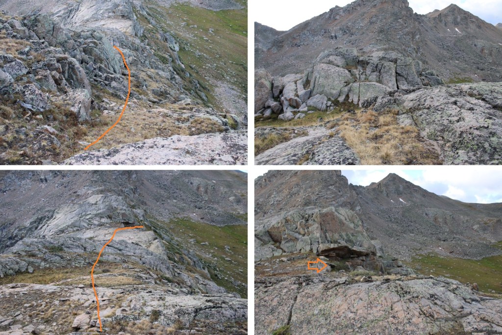
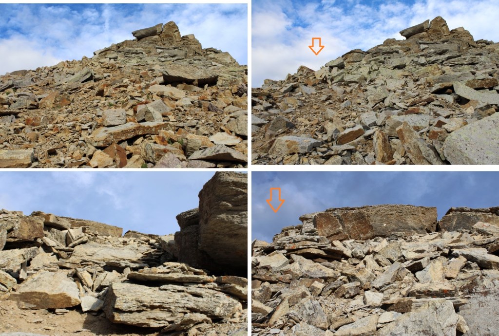
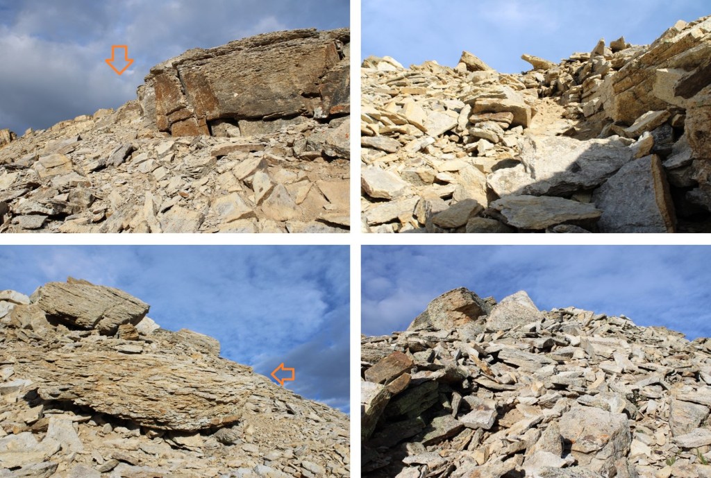
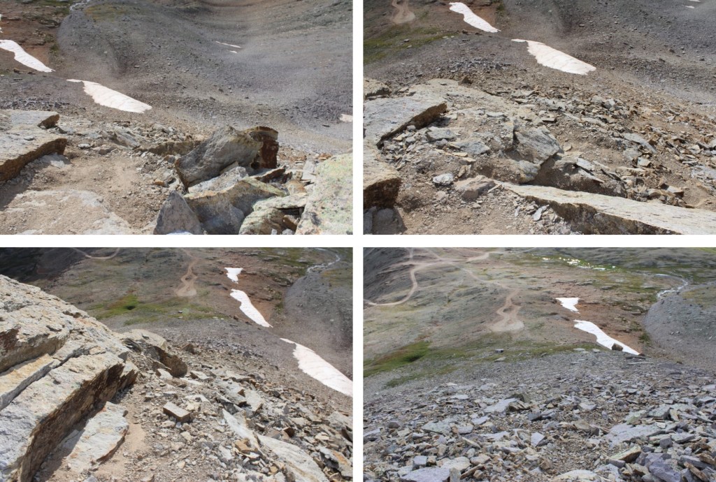
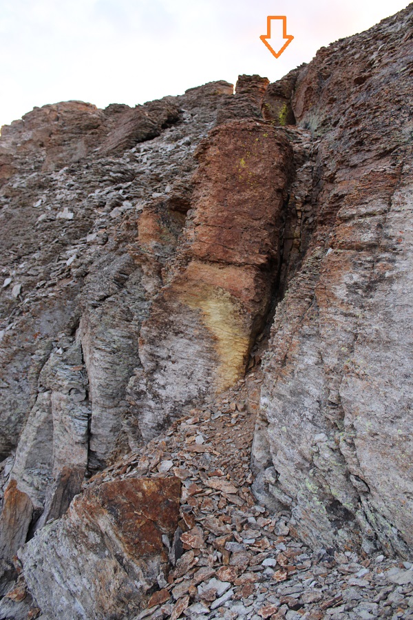
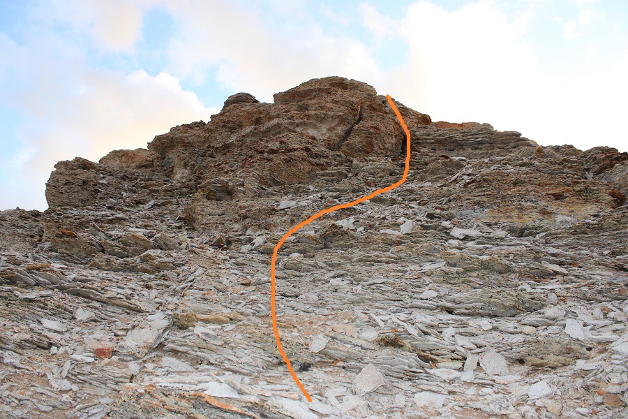
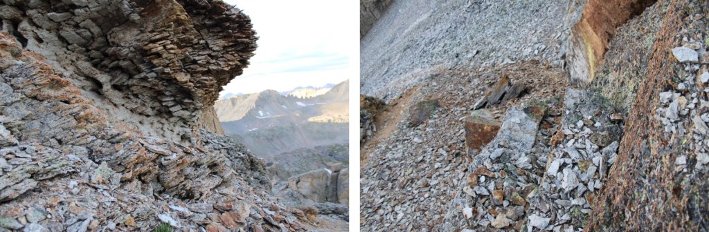
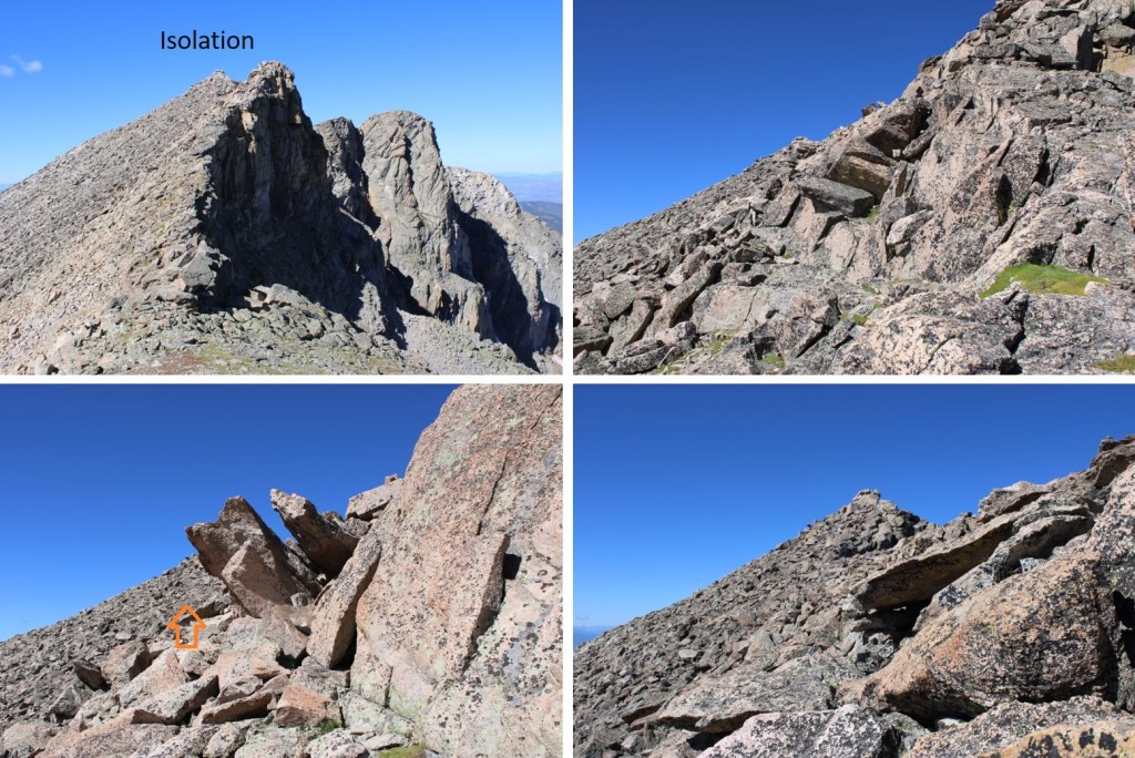
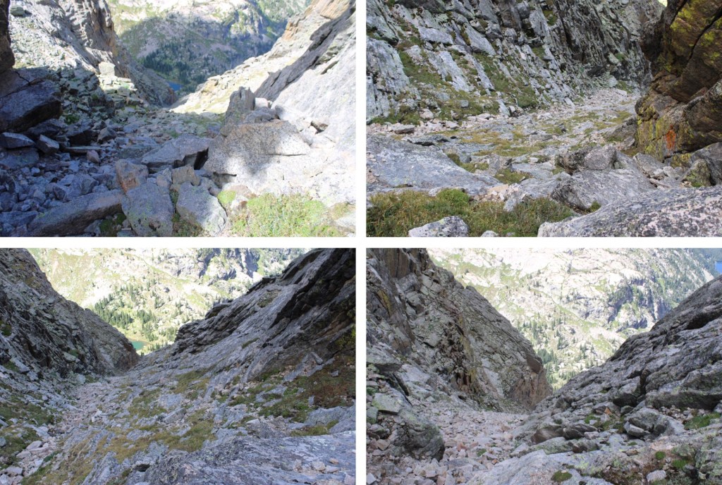
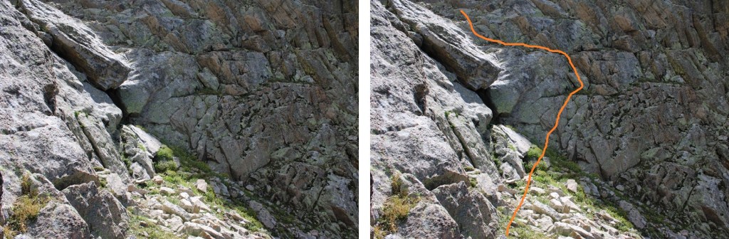
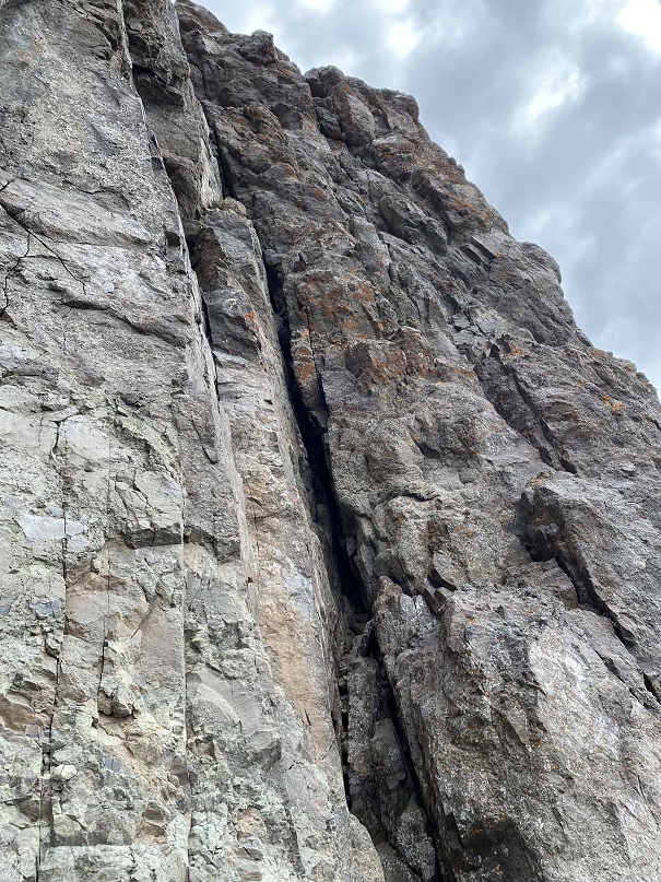
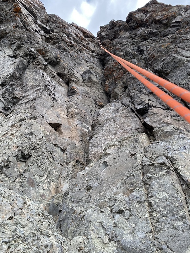
It was very cold this morning, and a little windy. It had snowed two days before, but luckily the snow had all melted out. I was frozen at the beginning of this climb, and didn’t melt out until making it to the summit, when I was finally in the sunlight. I do not have very many pictures of the actual climb up, because I had a really bad Raynaud’s attack and my fingers didn’t work with my phone’s touch screen. Ok, I’ll admit: I was a bit of a wuss, and there was a lot of spoken complaining as I ascended. Several times during this climb I had no use of my fingers, so I used my hands like ice picks to grab hold, hoping they would… hold. I clapped my hands together this morning more than I had keeping time at a color guard/band practice. So, all that to say I don’t have a lot of pictures, but here’s an overview of the beginning route, starting with a left-facing chimney:
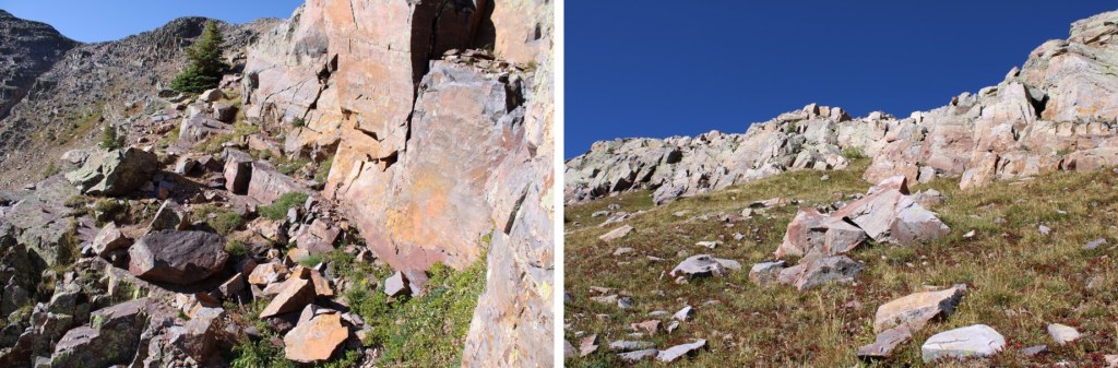
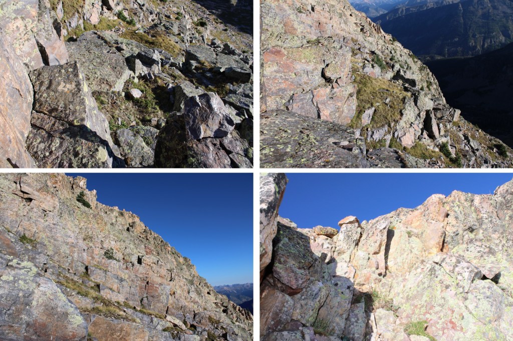
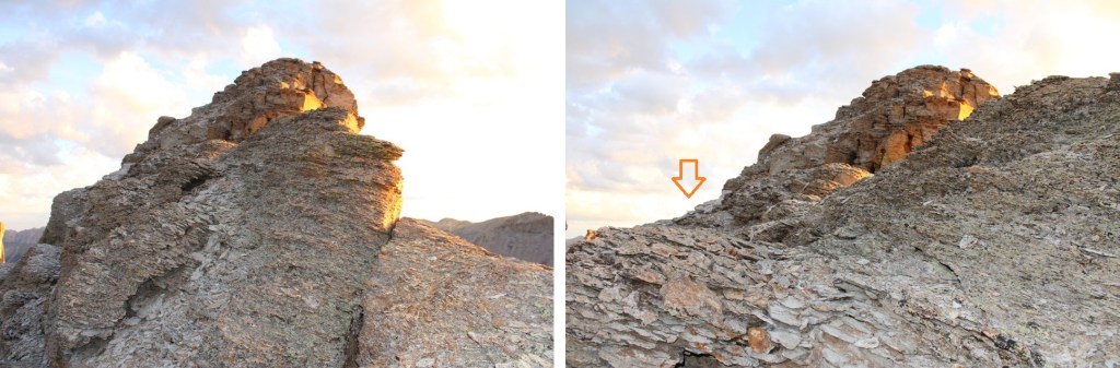
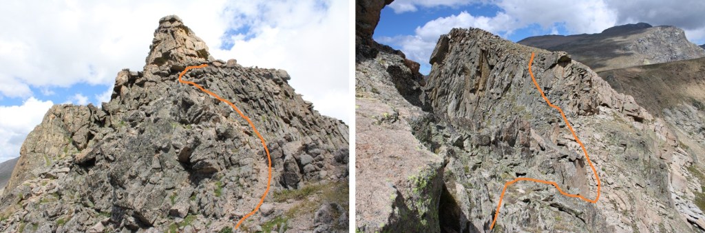
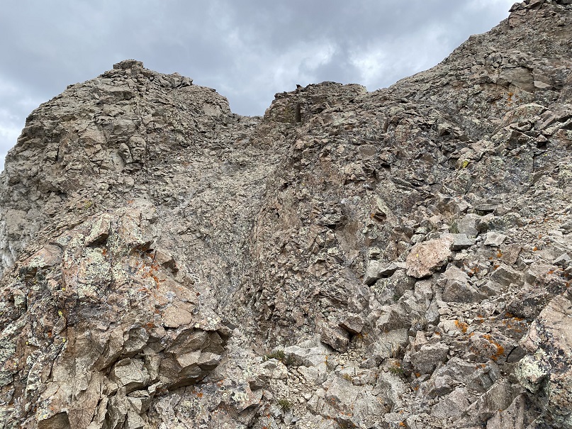
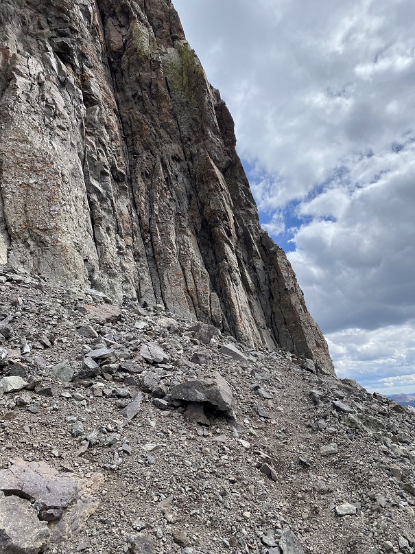
I then encountered a very exposed, less than 2-foot-wide (or less) ramp that went to the left for about 15 feet, then right for about 15 feet. Sorry, no personal pictures of the ramps, but here’s an approximation of what they look like from below:

Mountain Project has a good overview of the ramps here: Rock Climb Mark of Zorro, Alpine Rock (mountainproject.com)
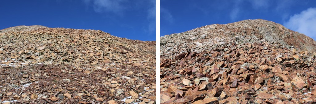
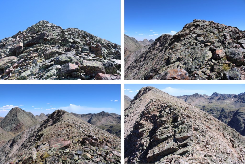
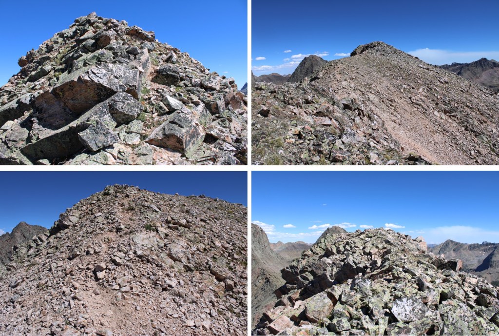
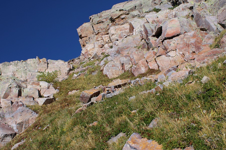
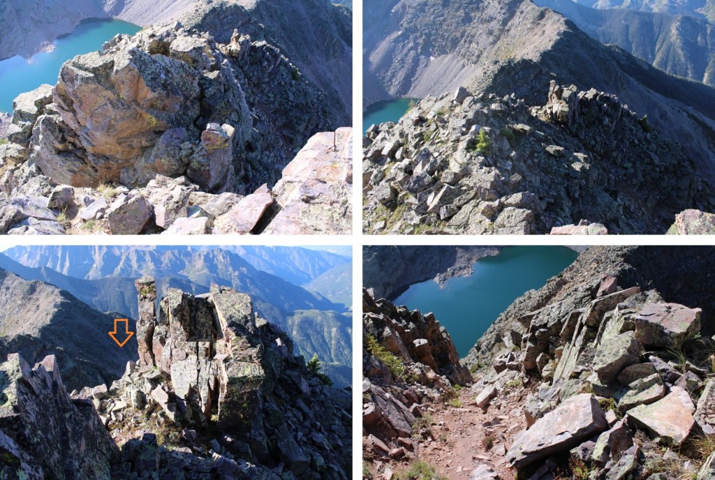
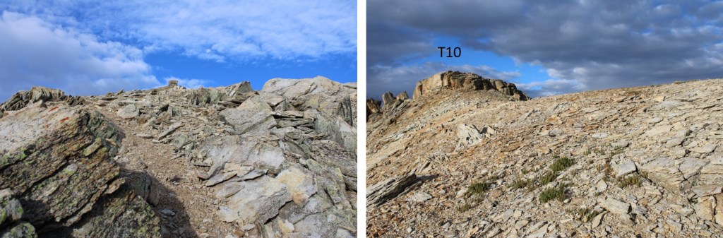
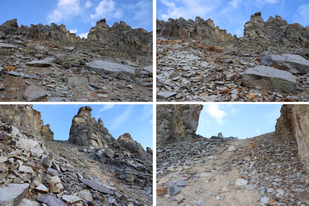
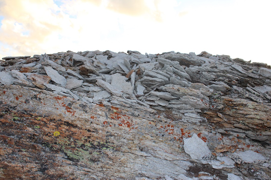
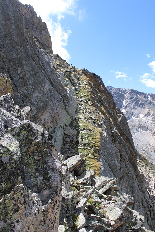
After the ramps there was some scrambling to do to get to the summit. This was chossy, but not too difficult to navigate.
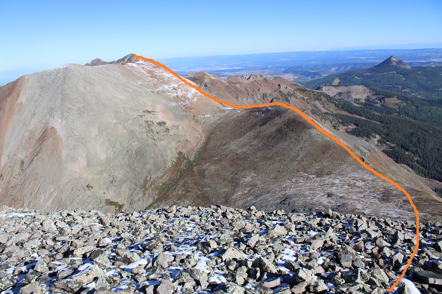
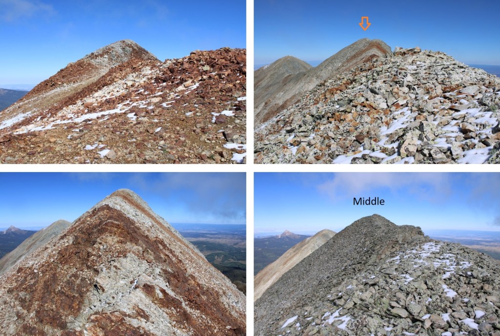
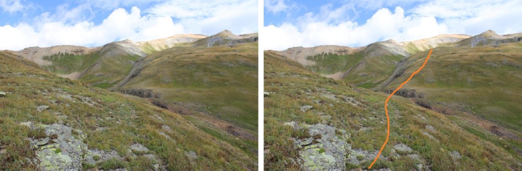
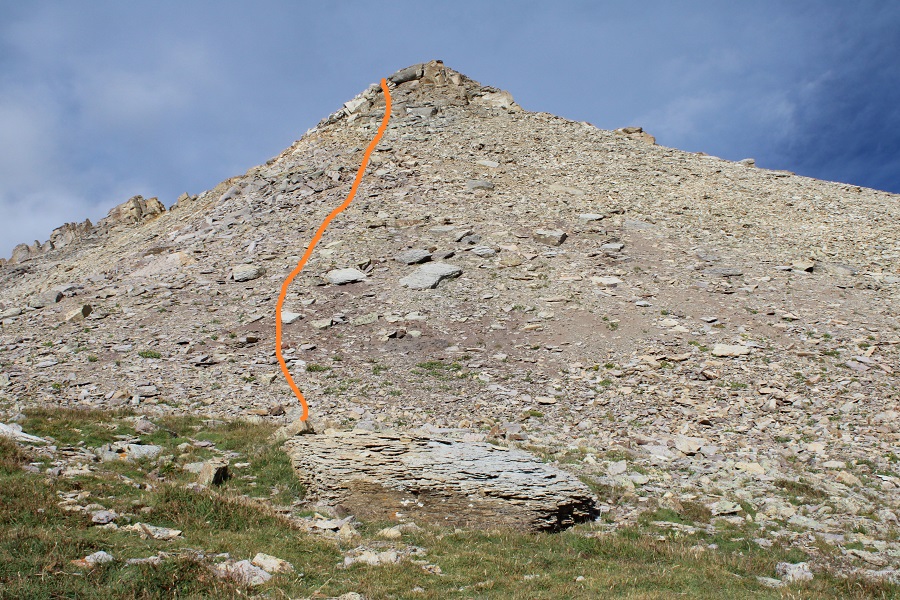
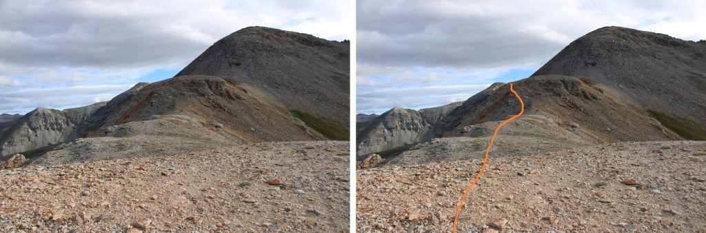
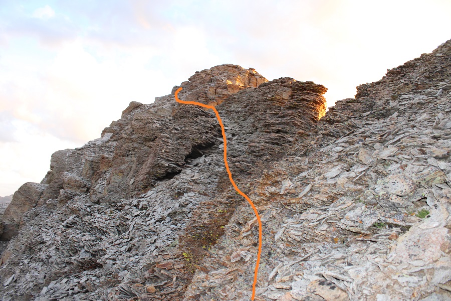
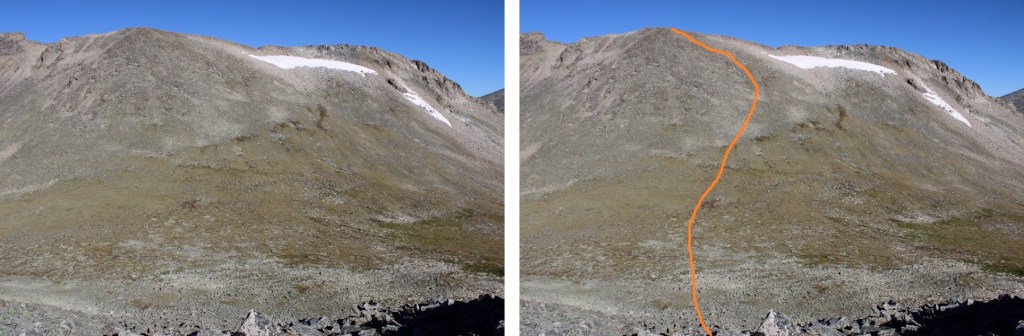
This is the route I took

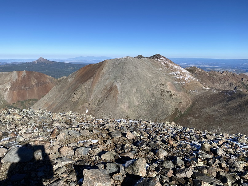
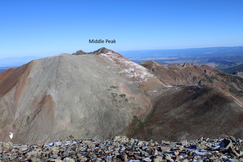
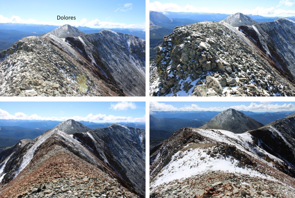
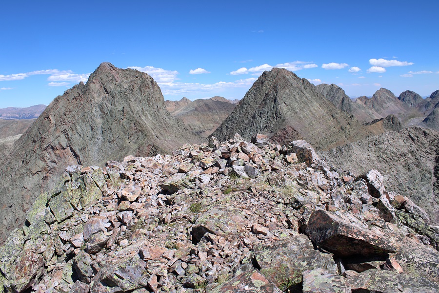
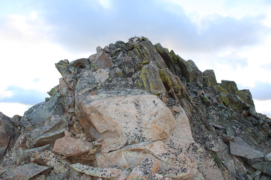
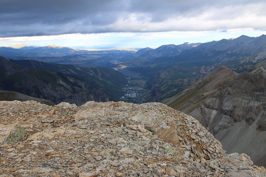
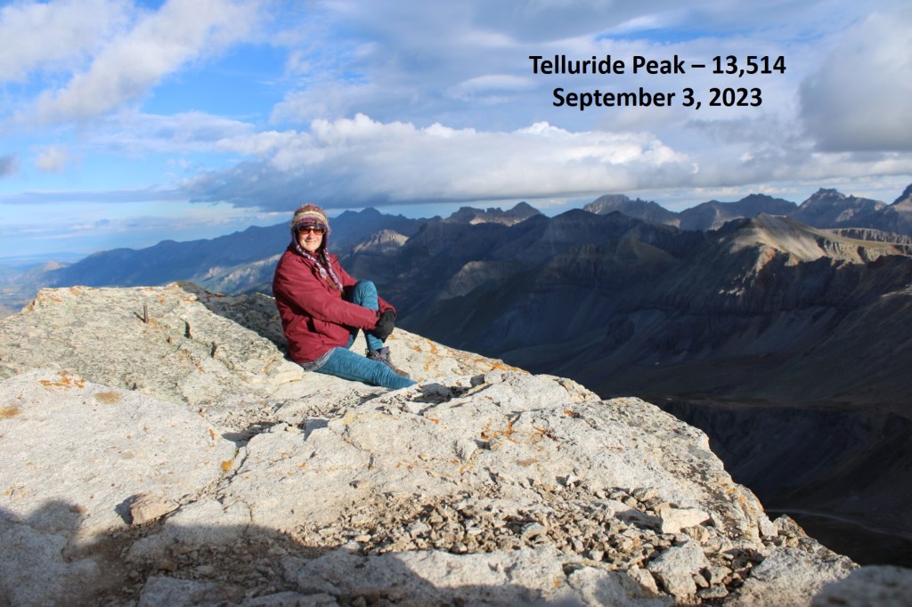
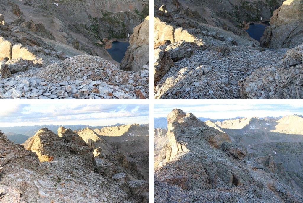
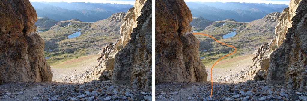
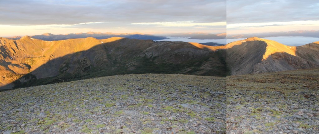
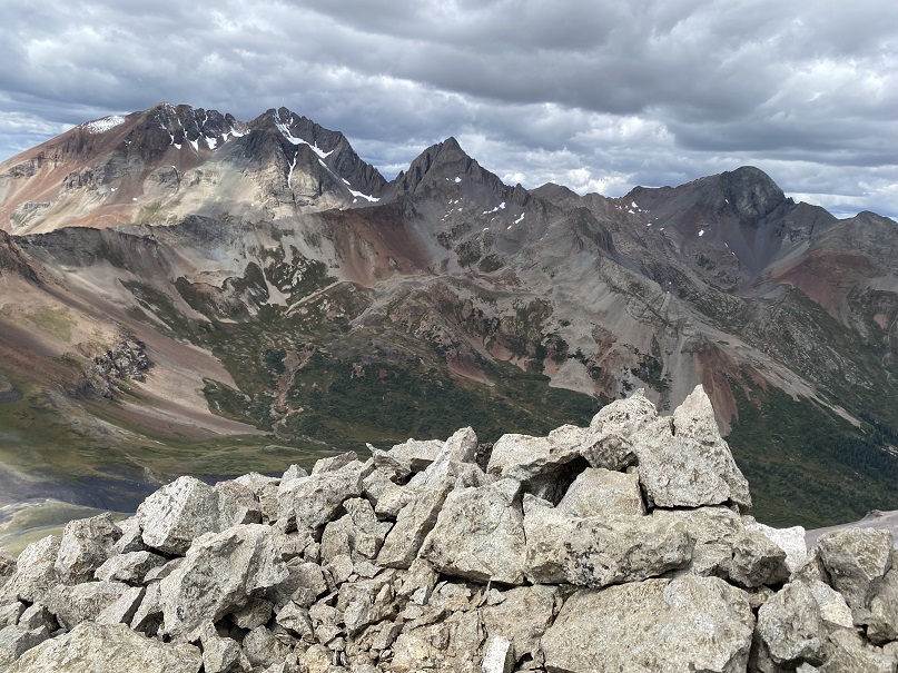
Here’s the view from the summit, looking east
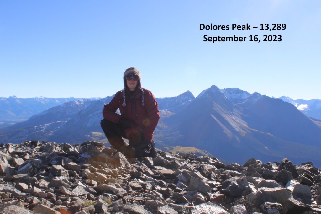
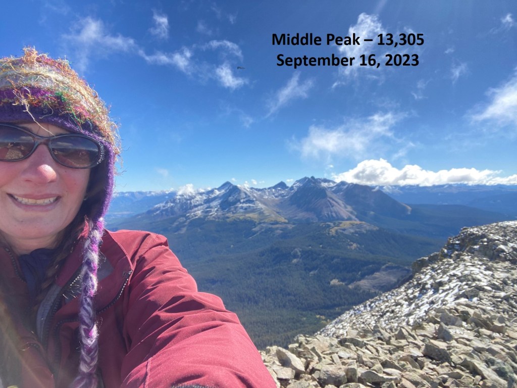
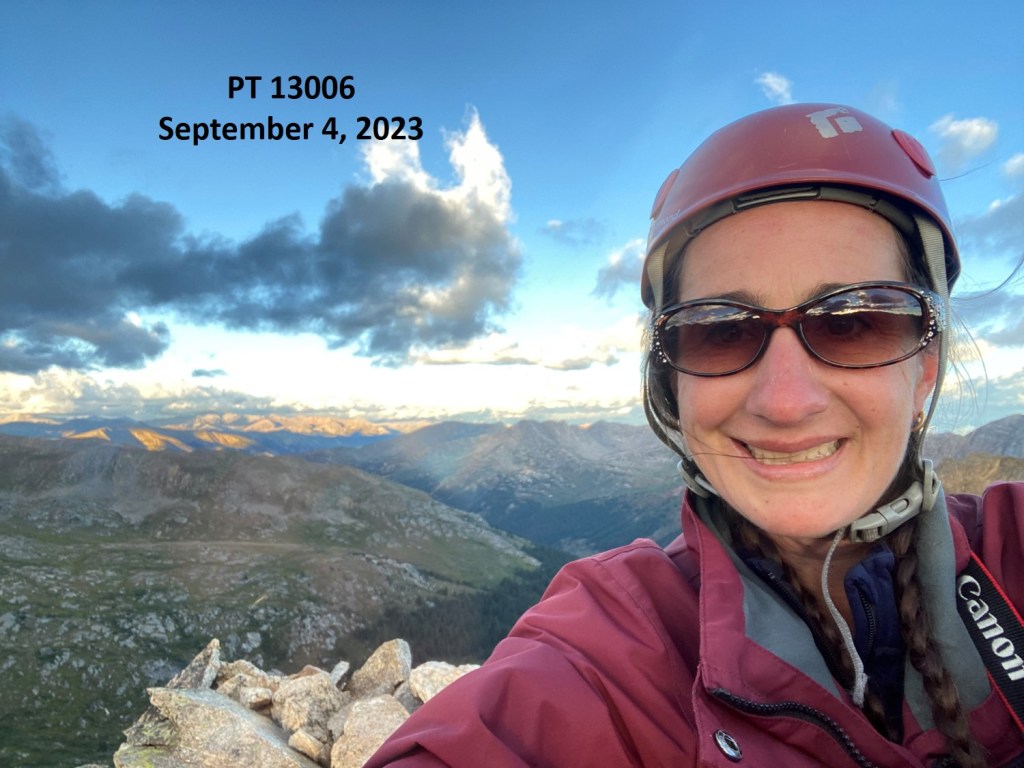
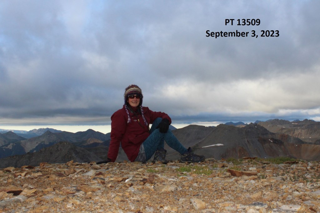
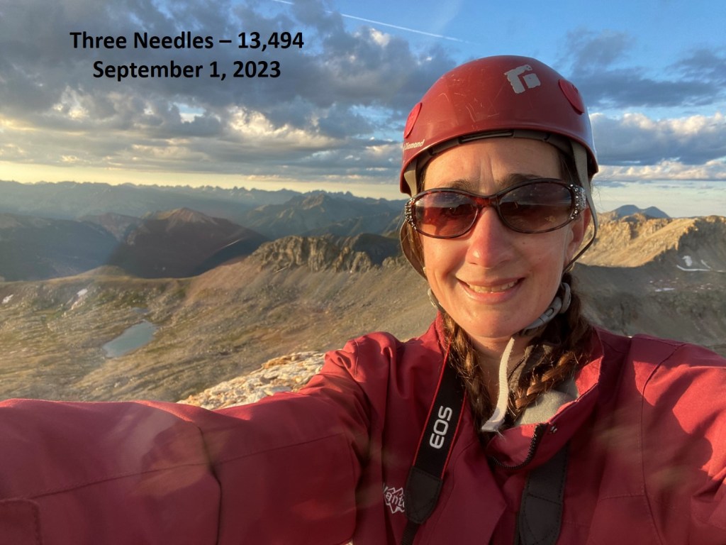
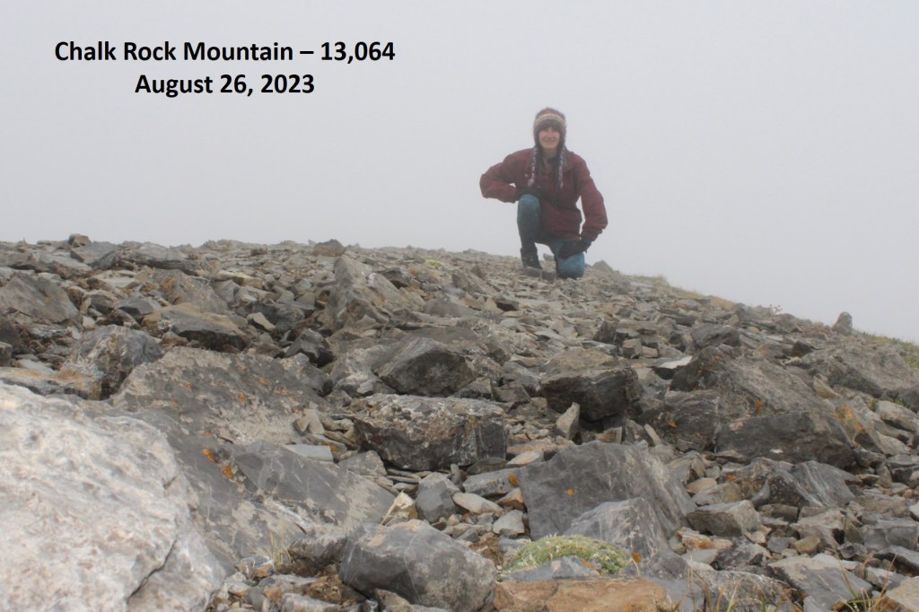
I summited Lizard Head at 12pm

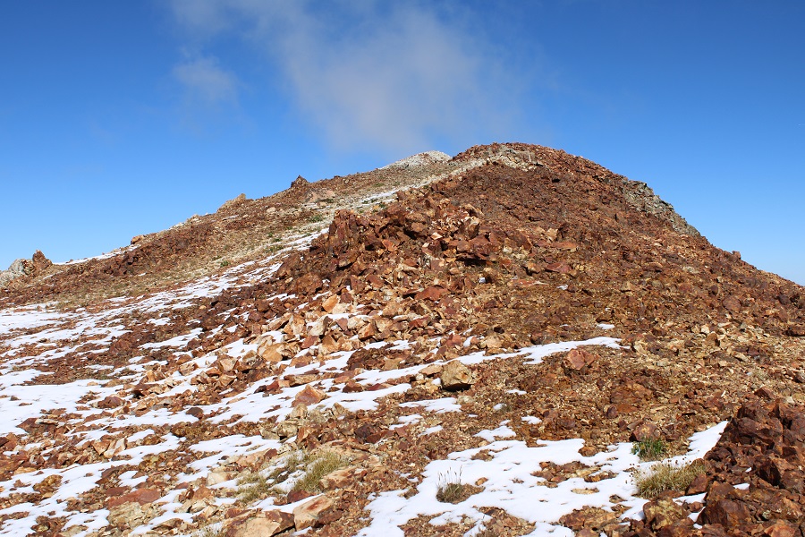
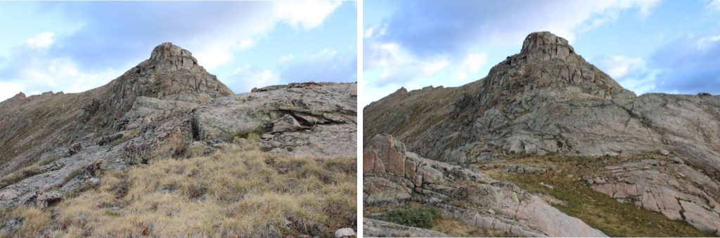
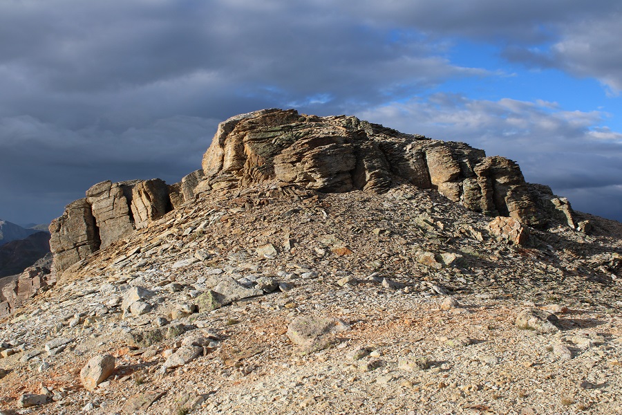
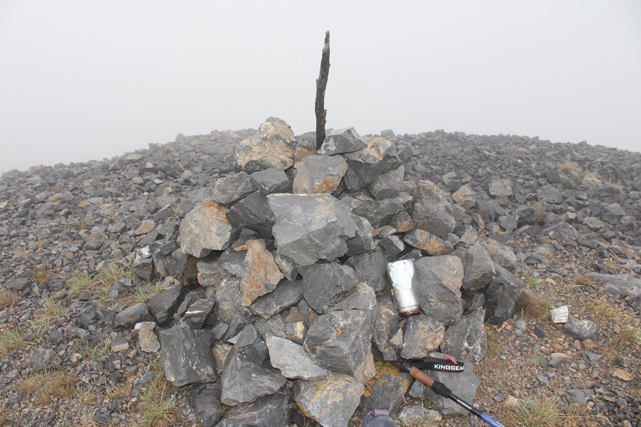
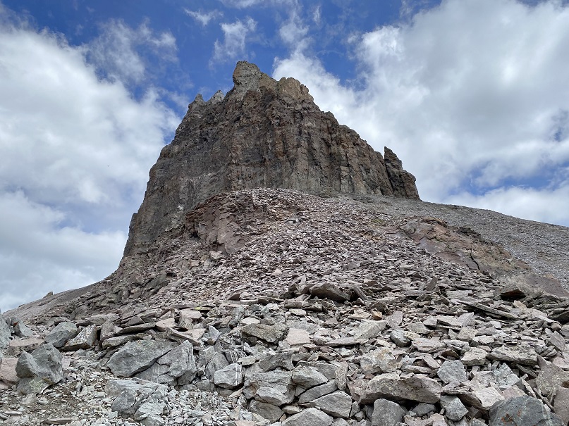
Lizard Head:
There was a summit register, but it was missing its lid. The pages were enclosed inside a ziplock bag that had holes chewed through it, so if the next person could bring a new summit register that would be great. As you can see by my sloppy handwriting, I had very little use of my fingers/no dexterity, so my penmanship was terrible (one of the many reasons I rarely sign registers, but this one felt important).

There were two bomb-proof rappel stations on the way down, which meant two rappels. The first was about 200’, the second about 100’, back down the initial chimney crack I climbed up.

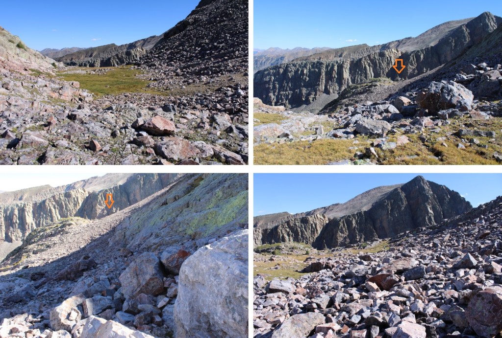
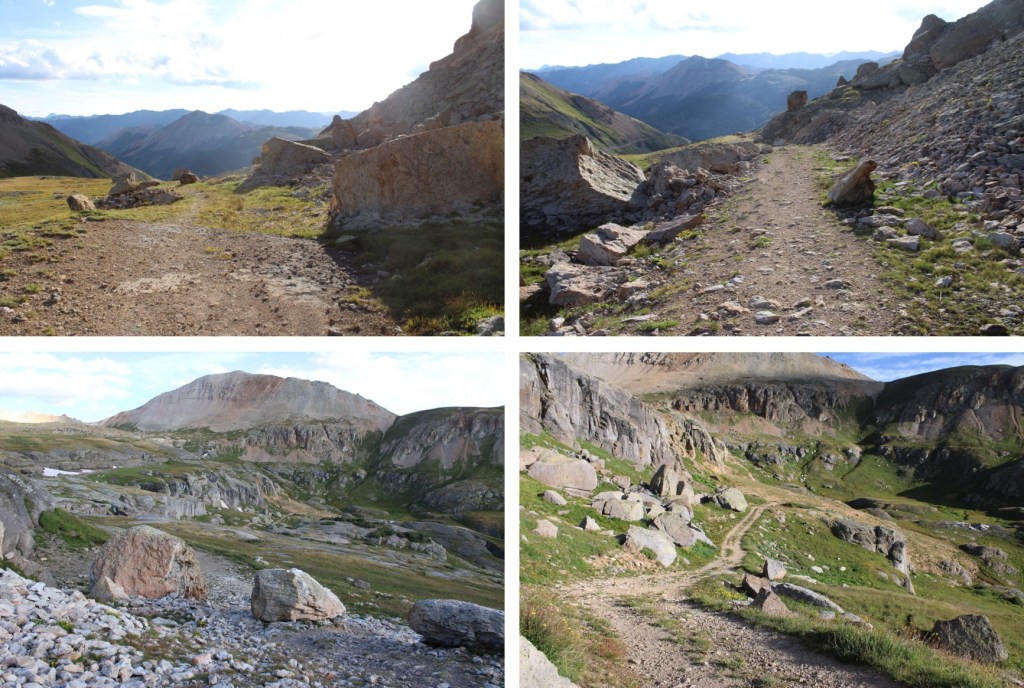
Then it was time to change out of rock-climbing gear, and head back to the trail down that wonderful pile of choss and head back on the Cross Mountain Trail back to the trailhead.

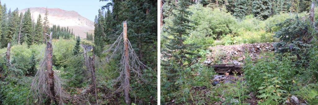
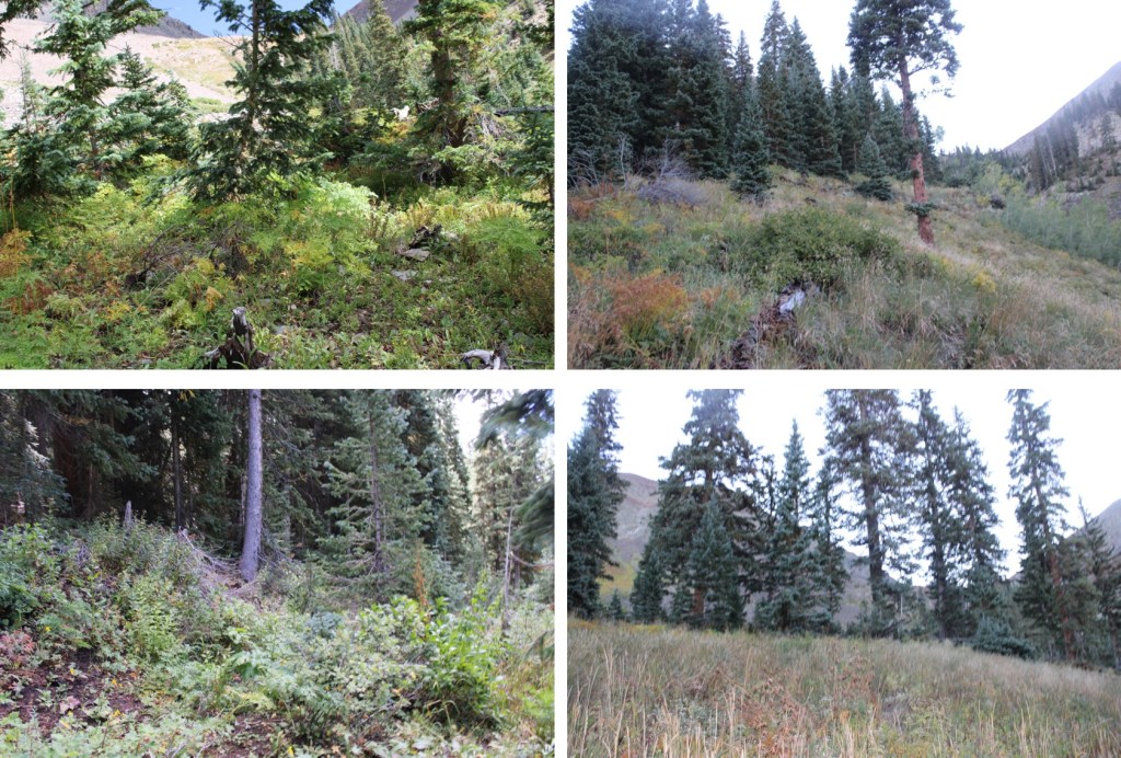
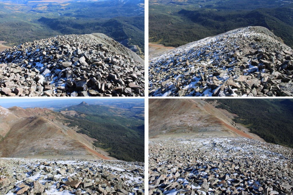
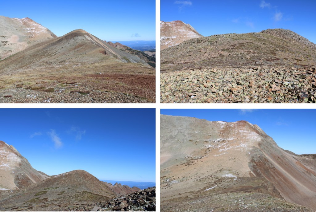
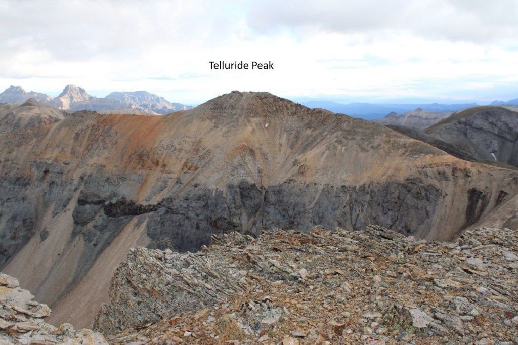
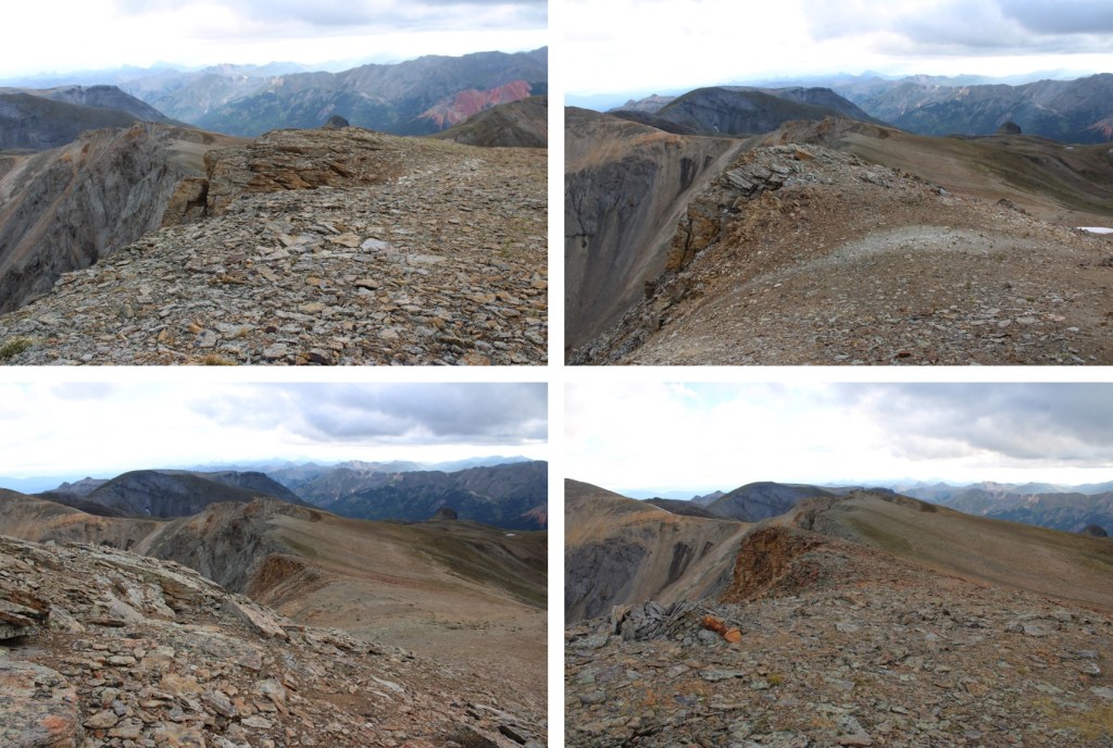
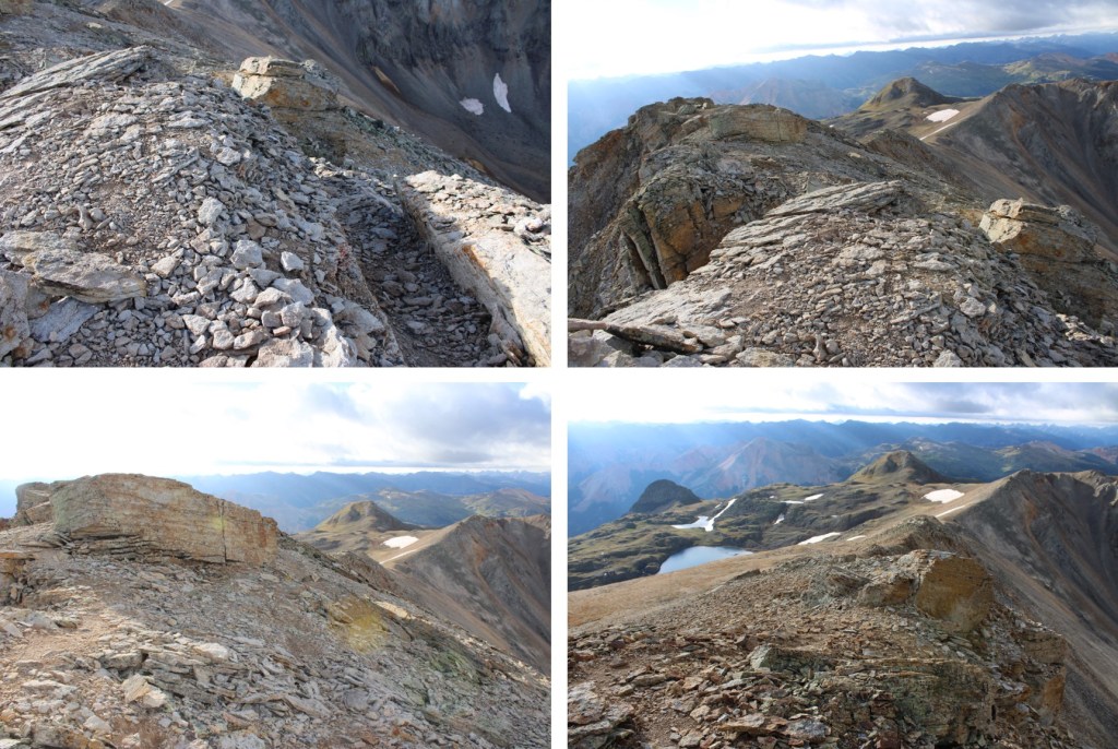
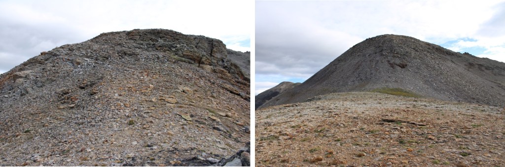
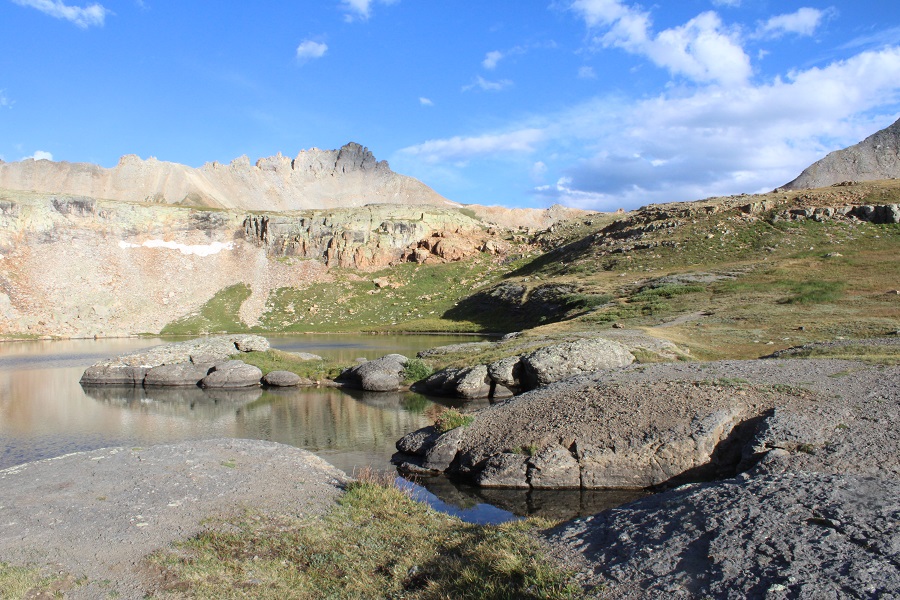
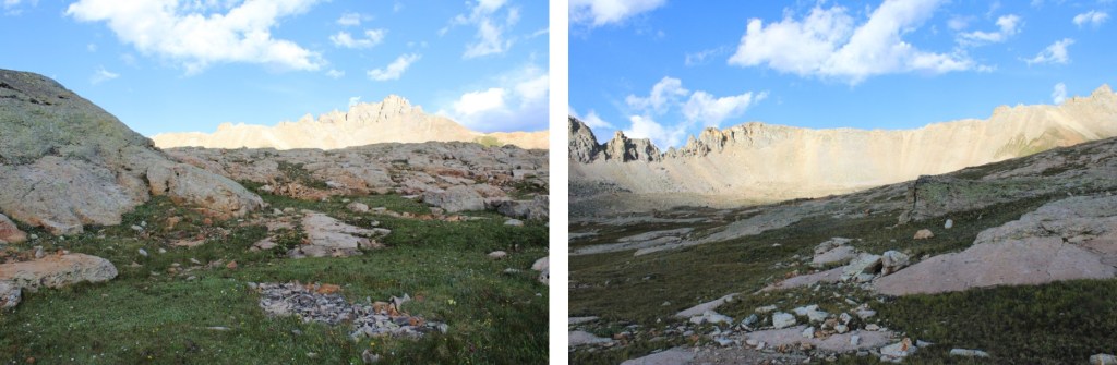
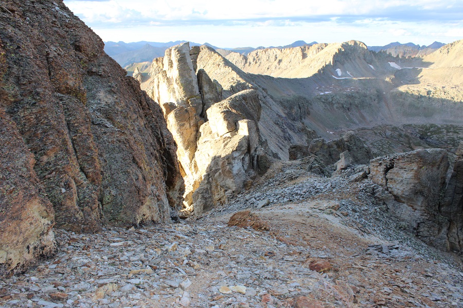
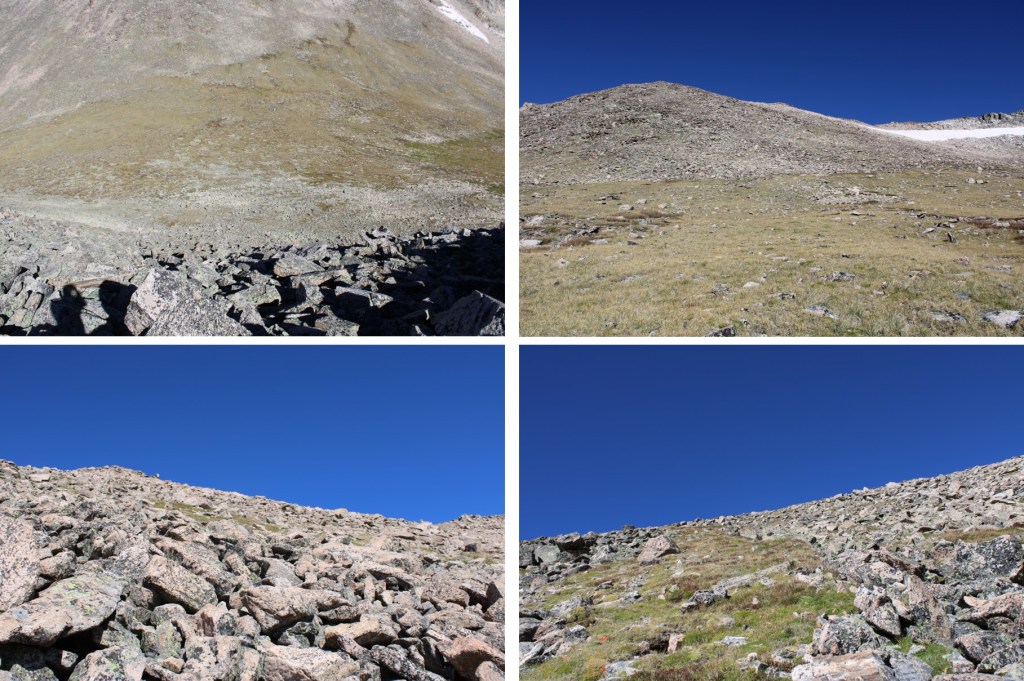
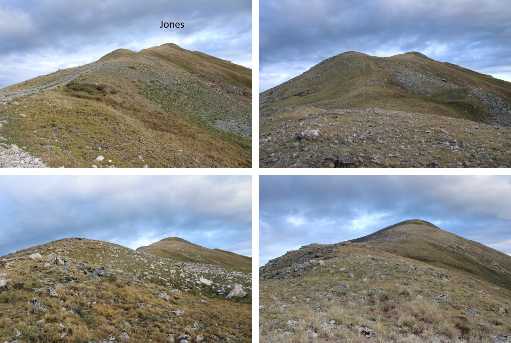
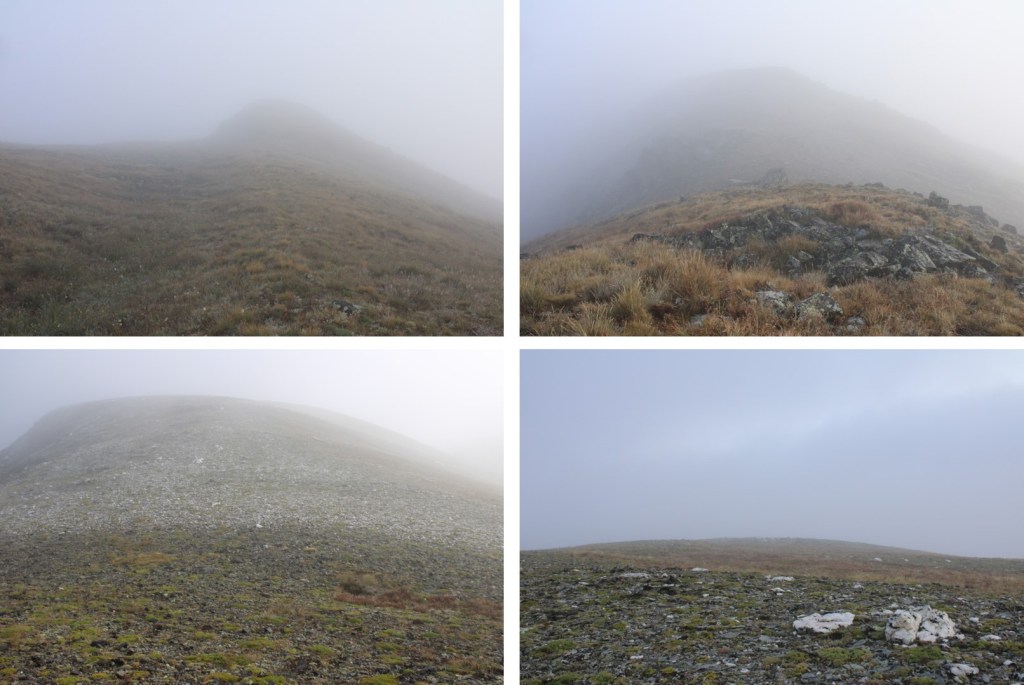
Once again, I apologize for this not being the quality of report I usually like to give out, but hopefully some of the pictures are helpful. Here are more pictures of the peak.
I made it back to my truck at 3pm, making this a 12.86 mile hike with 3566’ of elevation gain in 7 hours, 45 minutes. I believe the mileage seems a little high, but those are the numbers CalTopo gave me. Strava gave me drastically different numbers.

On to the next trailhead!
P.S.: I did indeed have a Raynaud’s attack on the climb, and while I don’t think I’ll loose the tips of my fingers, I do currently have blisters which will probably turn into ulcers on a few of the fingers on my left hand. They currently feel like I touched a hot stove. This is normal for people with Raynaud’s, and totally worth it for me to make this climb!