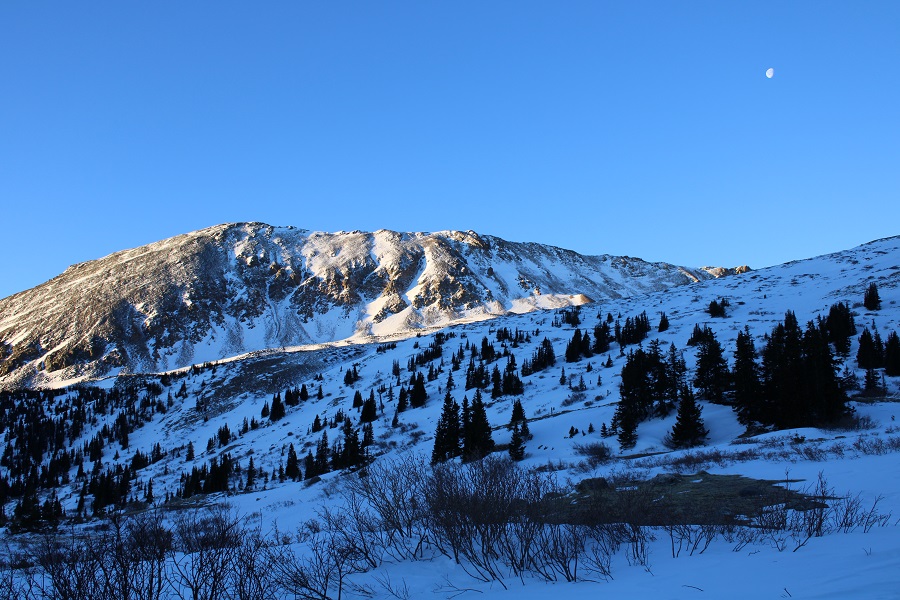
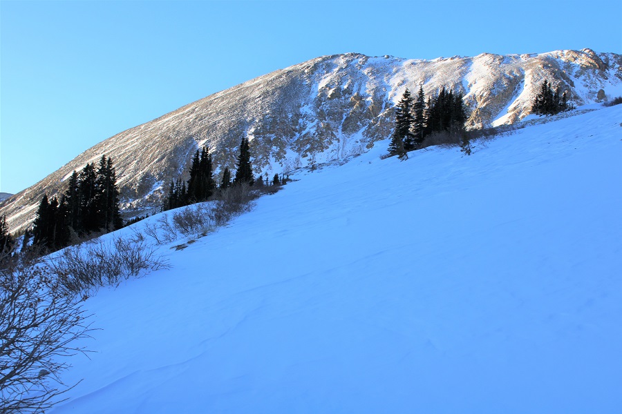
Mt Audubon – 13,223

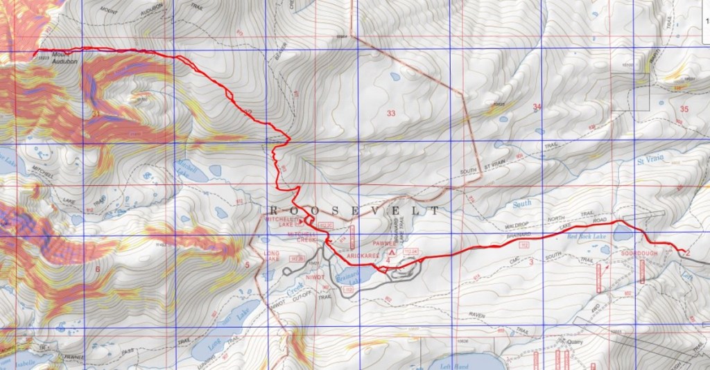
RT Length:  13.07

Elevation Gain:  3285’

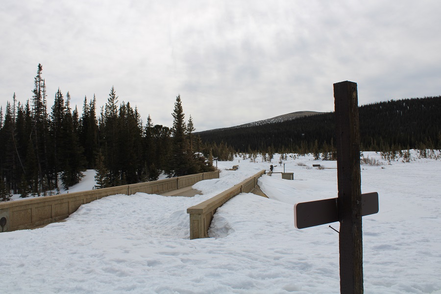
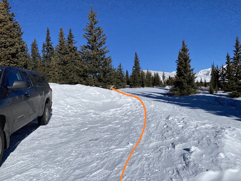
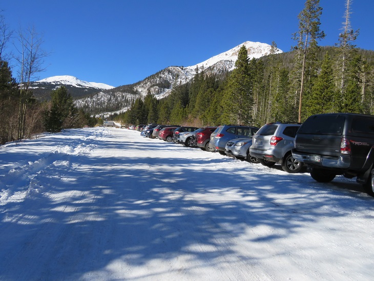
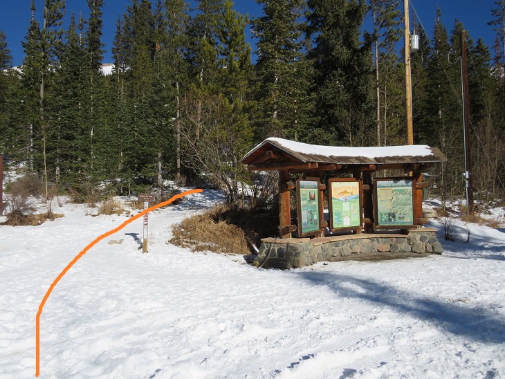
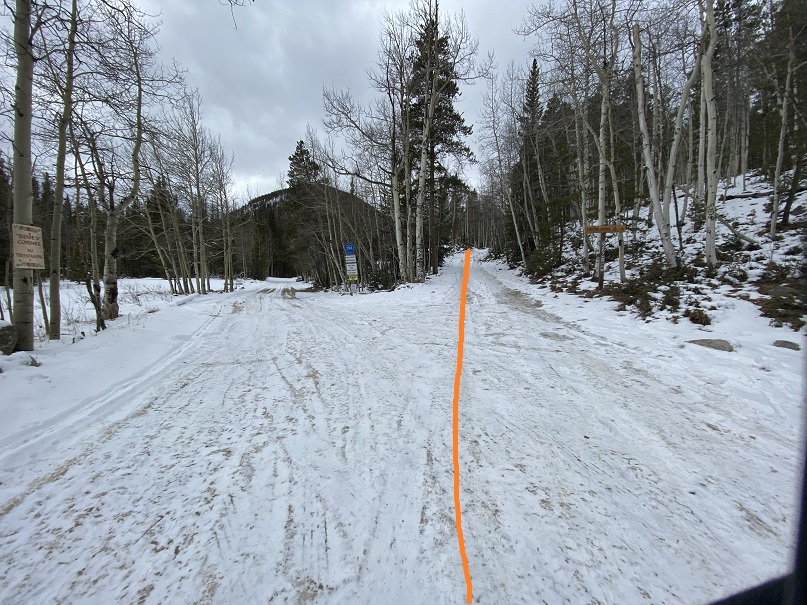
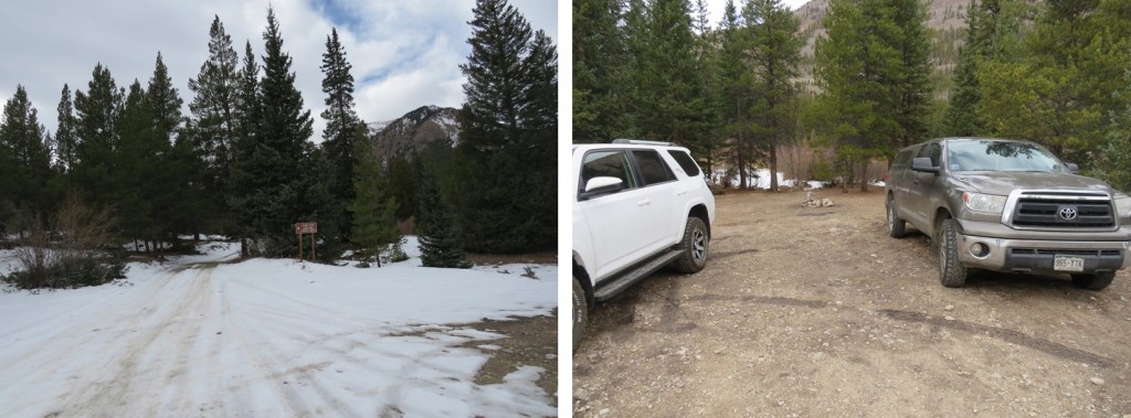
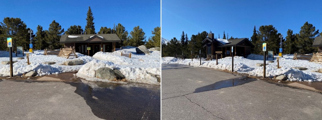
The last time I attempted this peak (earlier this winter) I arrived in the dark while it was snowing.  I was unable to find the parking area (it was covered in snow) and turned around and drove home before the hike even began.  This time I decided to arrive during the day, and I was a bit embarrassed I’d turned around last time:  the parking area is huge and hard to miss (unless the entrance is covered in over a foot of snow).  Here’s a picture of the entrance
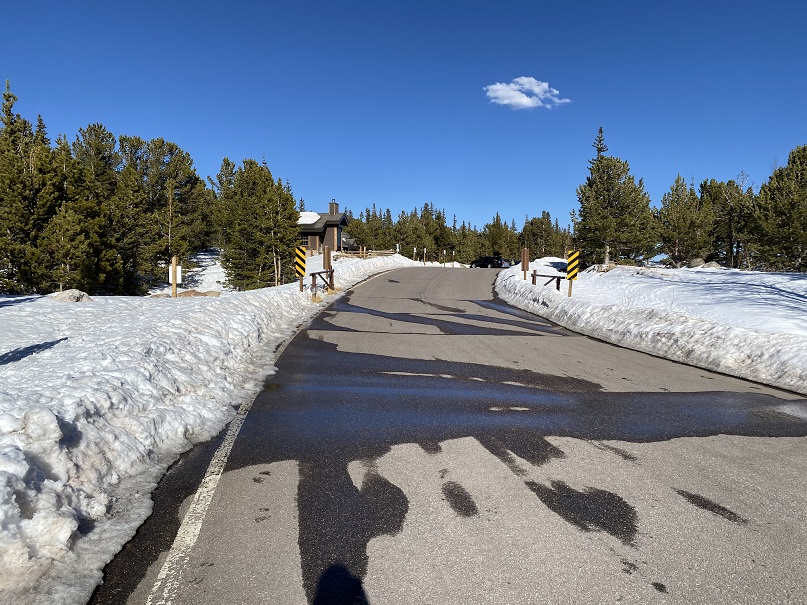
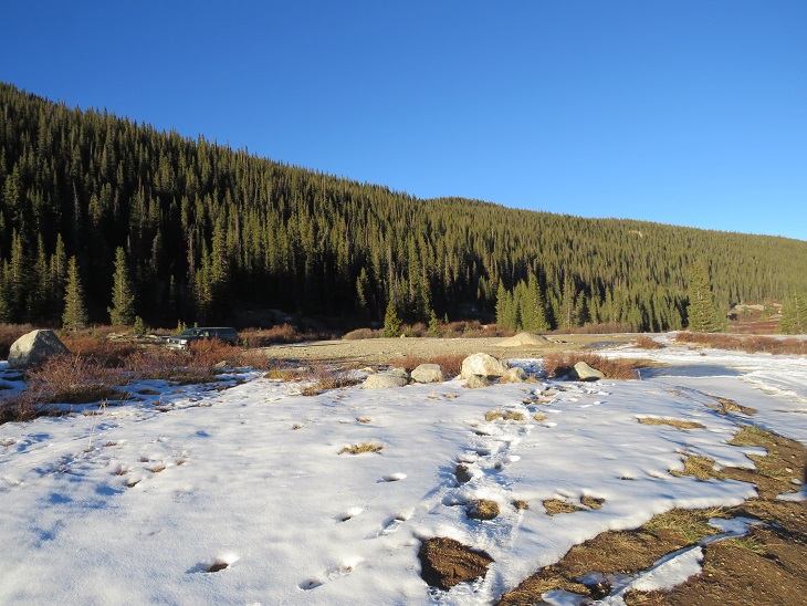
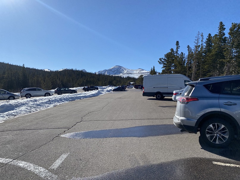
This is the parking area.  There are bathrooms here and an information center.  I’m guessing 75 vehicles can park here.
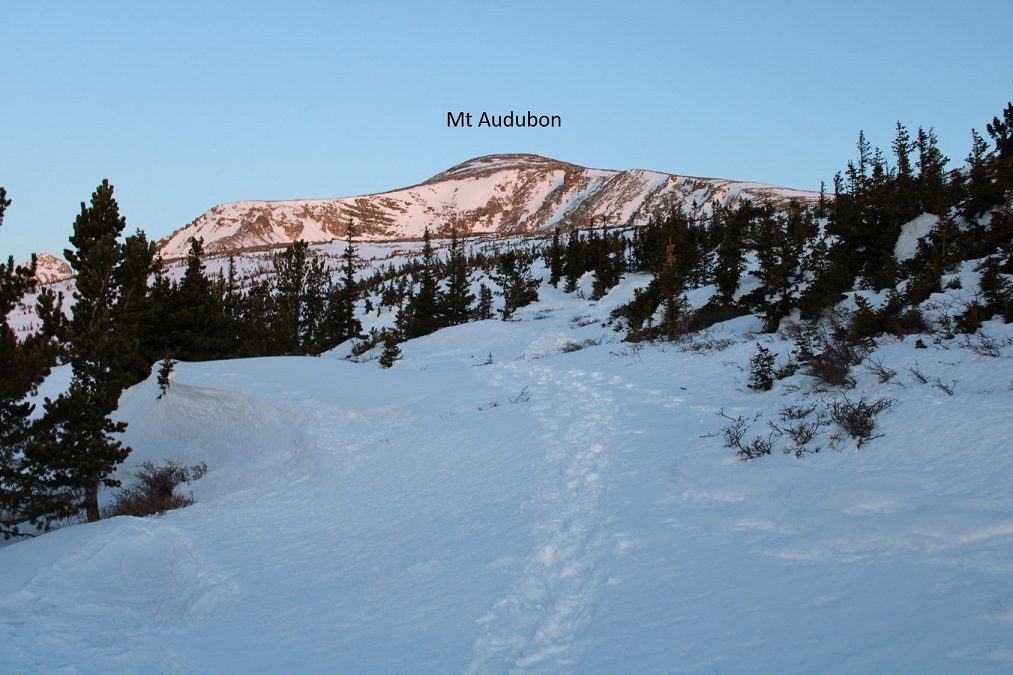
I parked at the east end of the parking lot and took a look around.  Not a bad backyard view for the night.
I spent the next two hours relaxing.  I love making it to the trailhead the night before and just enjoying the quiet time.  I watched the birds fly up and down the trees, looking for insects.  I people watched, sat and watched the clouds, admired my view of Mt Audubon, and got out some whiskey and read for a bit.  I also ate 3 snack sized bags of chips.  I went to bed earlier than I would have if I’d been at home, but as always when I sleep in the back of my truck, I slept soundly.

Soundly that is, until 3am.  That’s when I heard a couple walk back to their vehicle, which had (unfortunately) been parked right next to mine.  They started the car, and chatted for a bit before taking off.  I thought it was a weird time to make it back to their car, and wondered why they’d been so loud?  There were obviously several people boondocking in their vehicles, trying to sleep. I lay there for the next hour, wanting to get up to pee but not wanting to leave my nice, comfy bed until it was time to do so (we’ve all been there, right?).  At 4am I was up and on the trail by 4:15am.

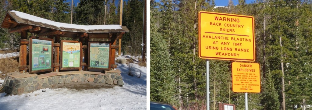
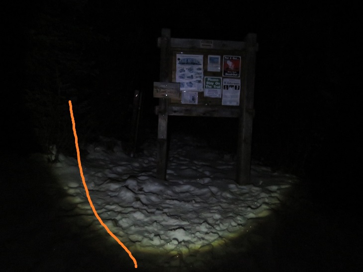
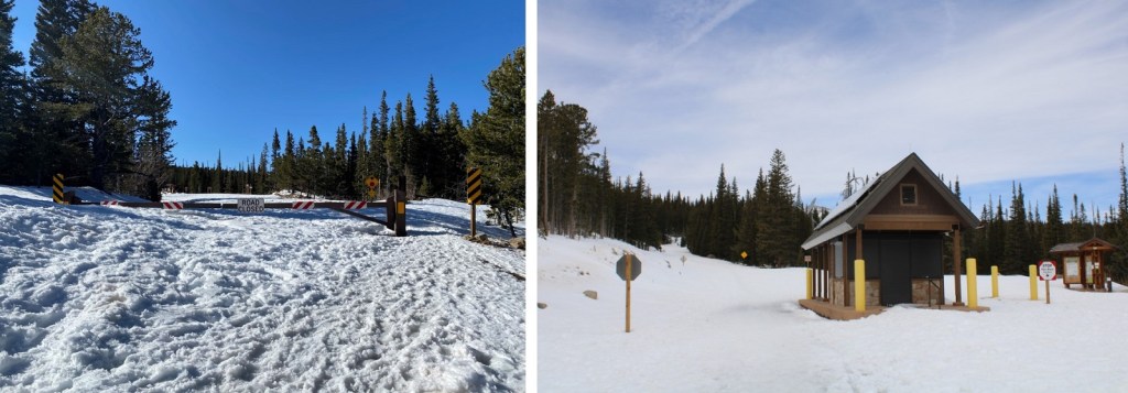
I started at the winter closure, marked by this gate and entrance station.
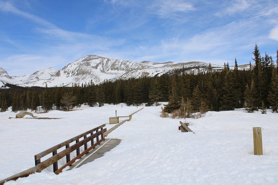
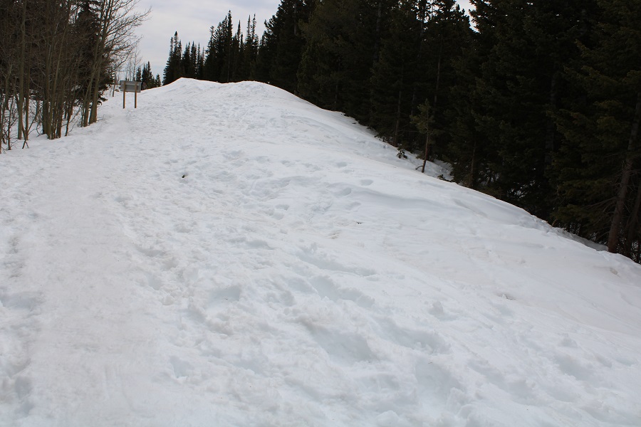
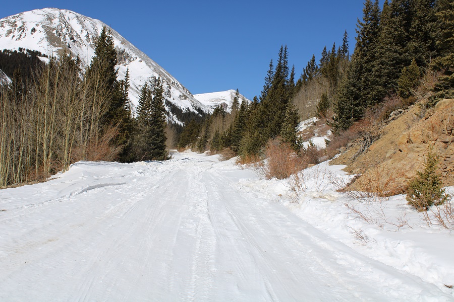
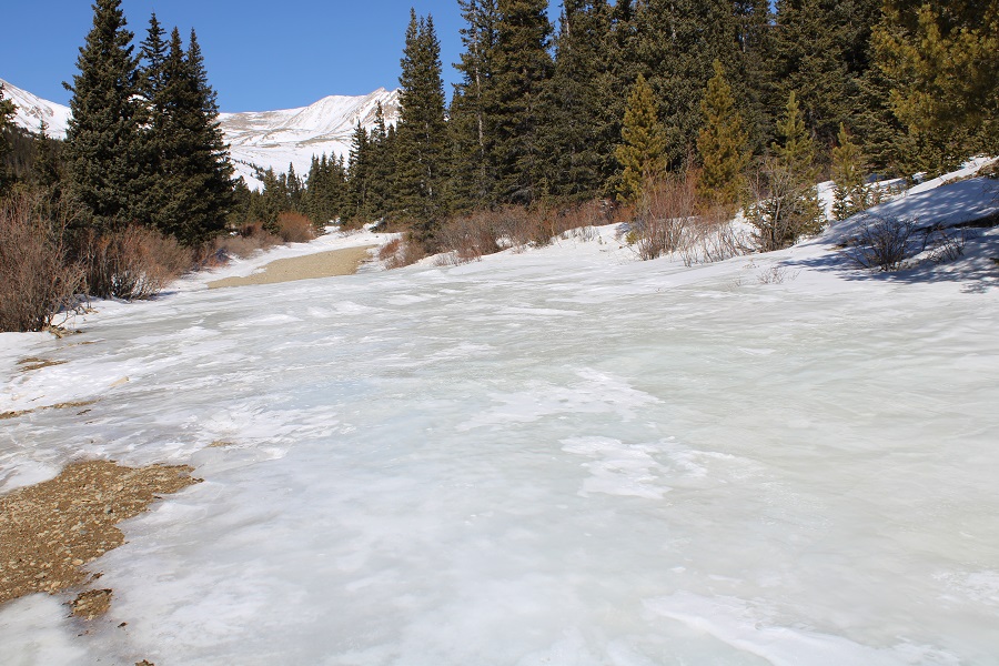
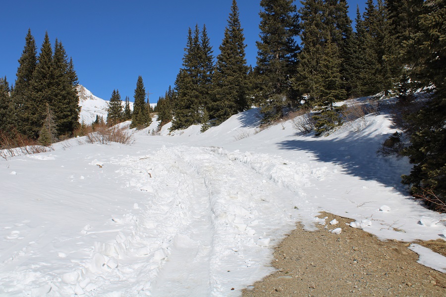
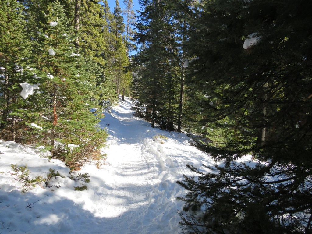
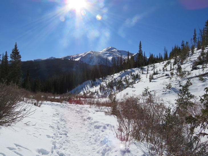
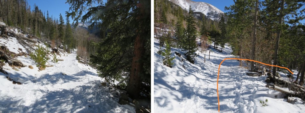
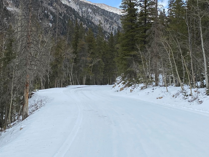
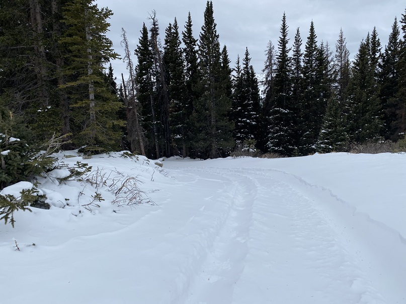
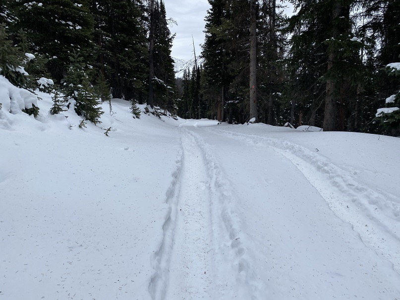
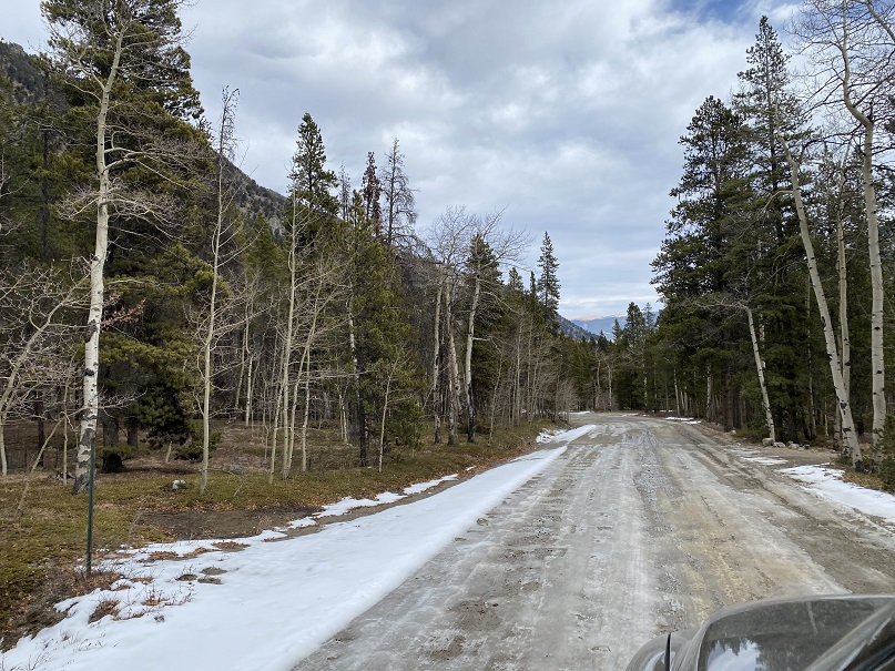
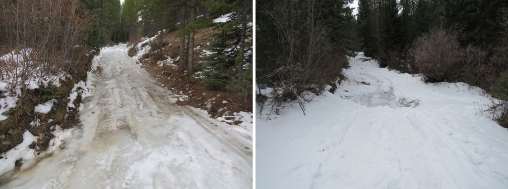
I followed the road, and a well packed trail, for 3.3 miles to the Mitchell Lake Trailhead.  At times the snow on the road was well over my head, and I wondered how long it will take to melt out for summer visitors?
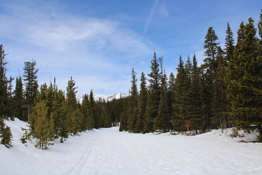
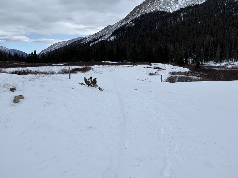
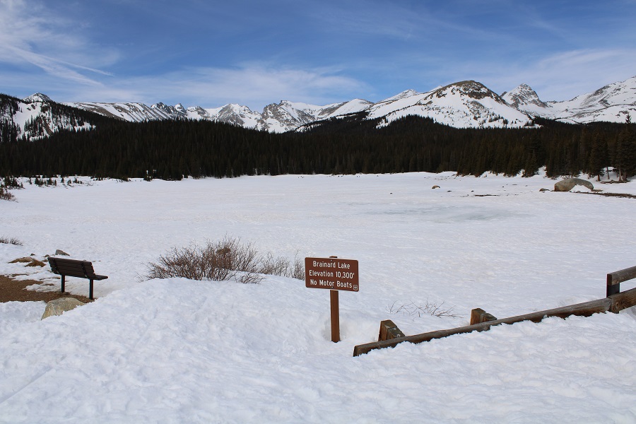
I made it to Brainard Lake and continued following the road
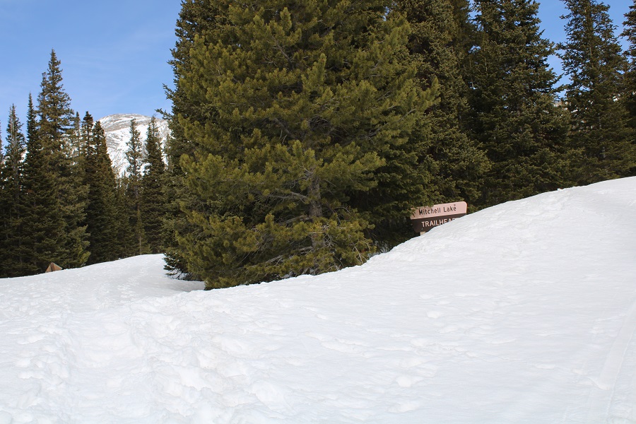
The Mitchell Lake Trailhead still had quite a bit of snow as well
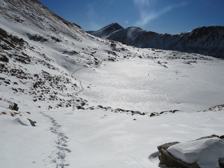
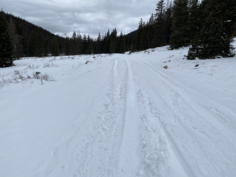
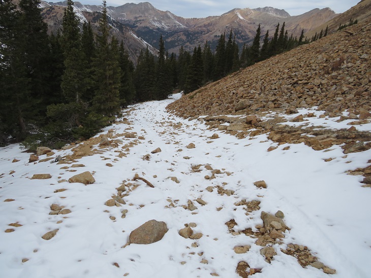
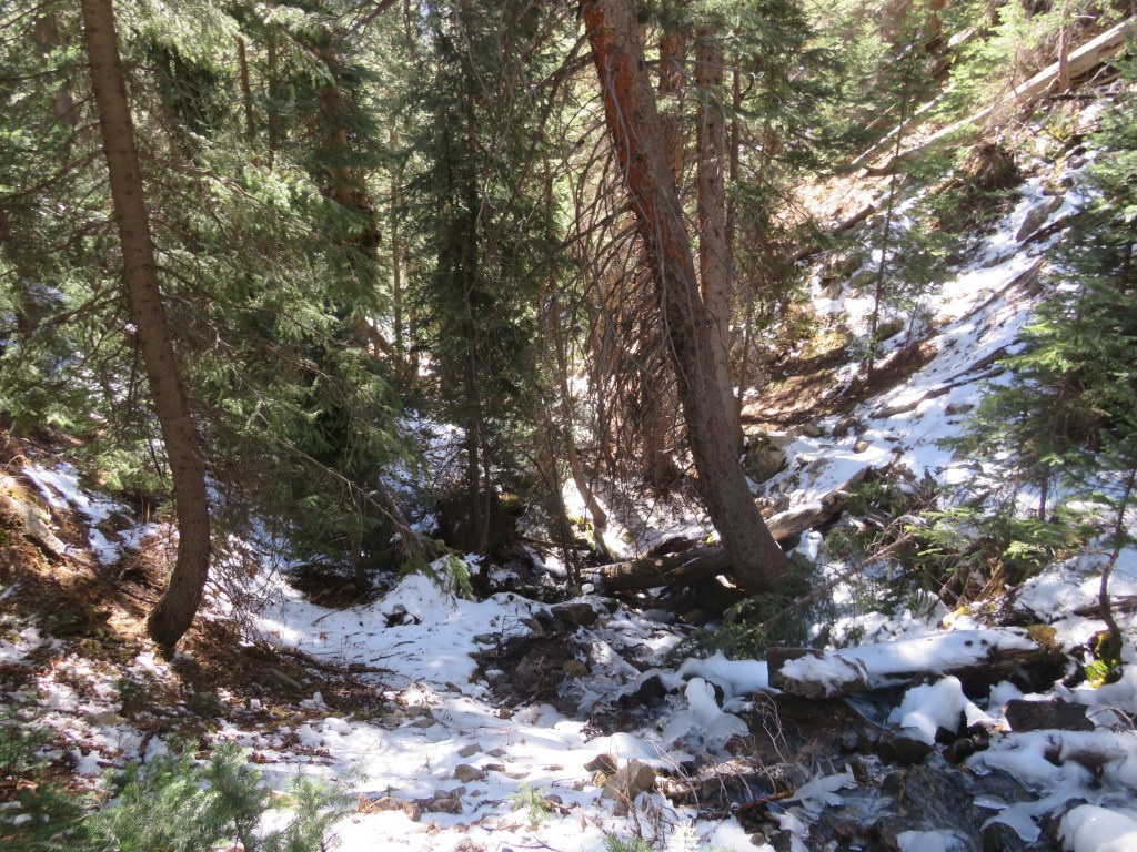
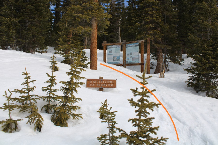
Here’s where the nicely packed down trail ended, and the post-holing began.  Obviously, there’s a lot of snow here.
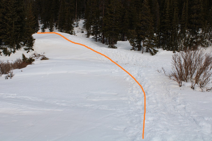
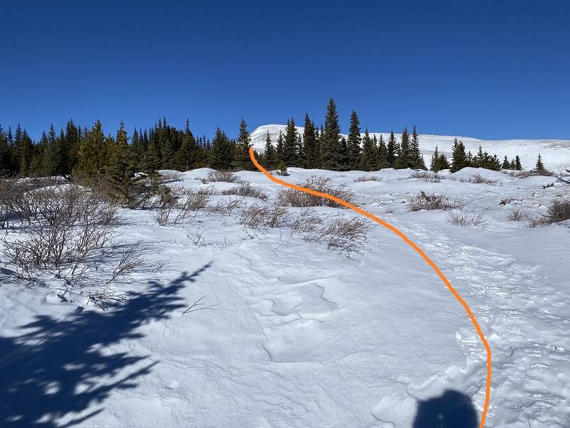
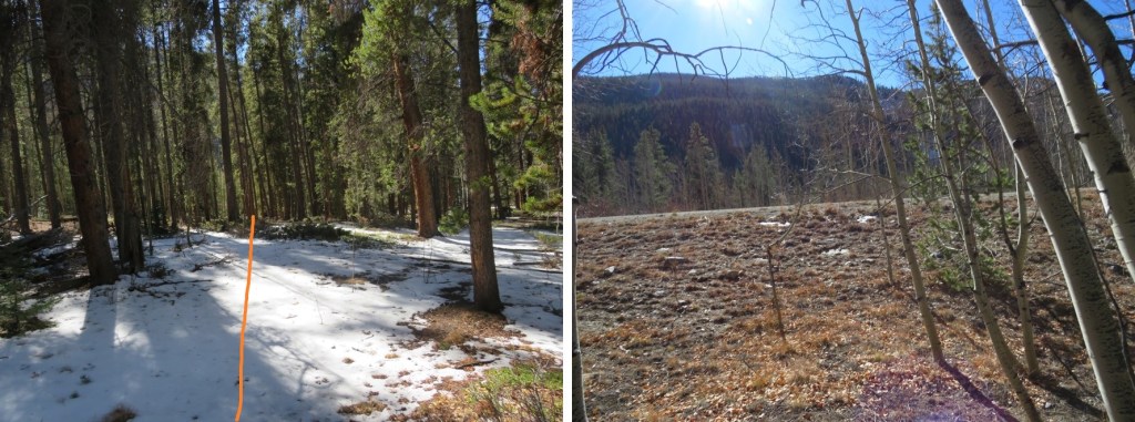
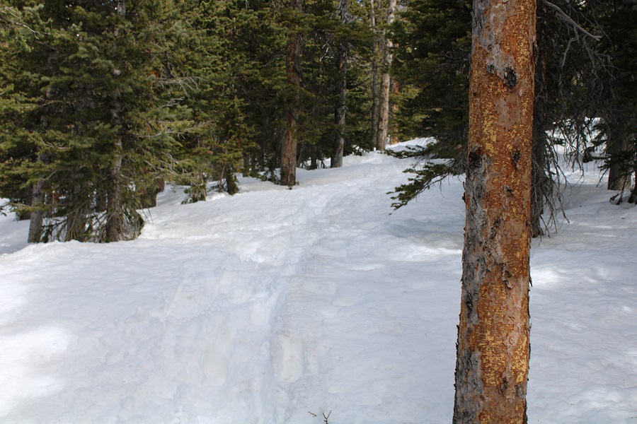
I was happy there was a semi-noticeable trail however, as I’d expected to be trenching today.  I wasn’t trenching, but I was postholing quite a bit.  The temperature had only reached a low of 37 degrees last night, making the snow too firm to trench with snowshoes, but easy to post hole through without.  I followed the trail as it headed northeast towards the ridge.
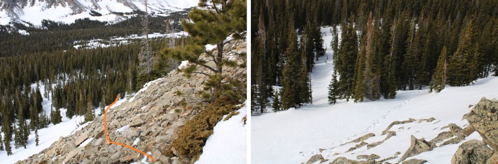
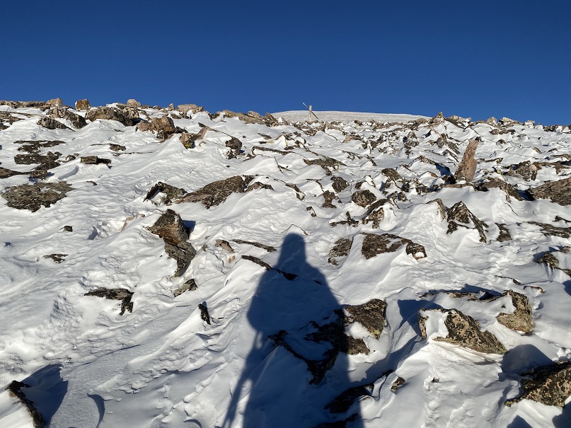
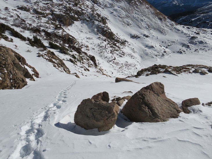
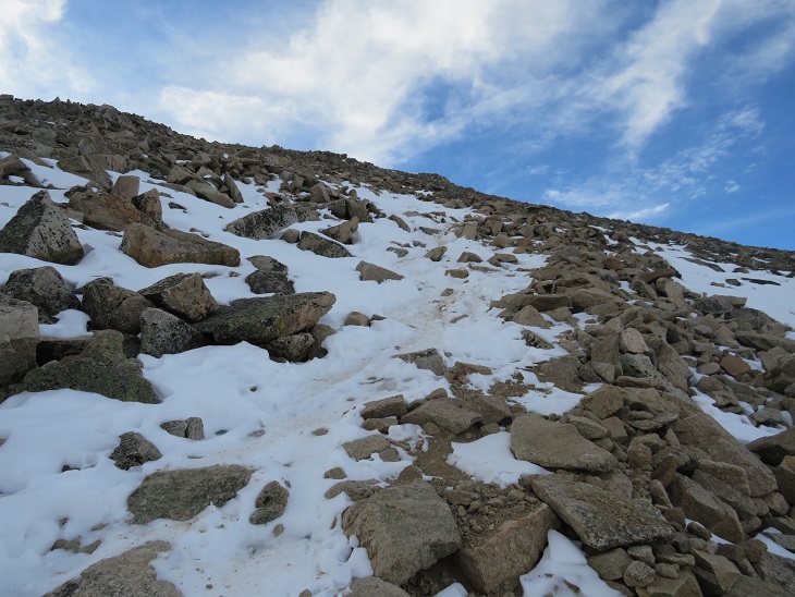
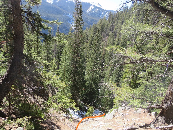
Just below the ridge the trail stopped near a rocky area and I had to rock-hop up to the ridge.  It looked like whoever used this trail yesterday had purposely glissaded down in snowshoes, ruining any chance I had of using their tracks.  I easily avoided their slide by going to the right, and then catching up with several other tracks that led to the upper basin/ridge.
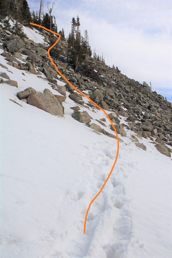
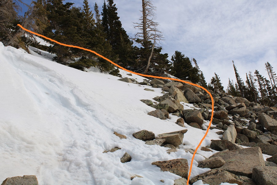
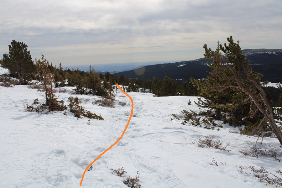
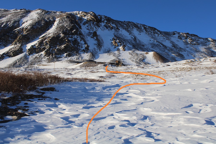
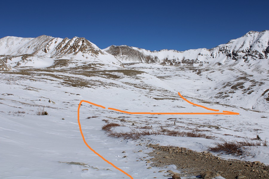
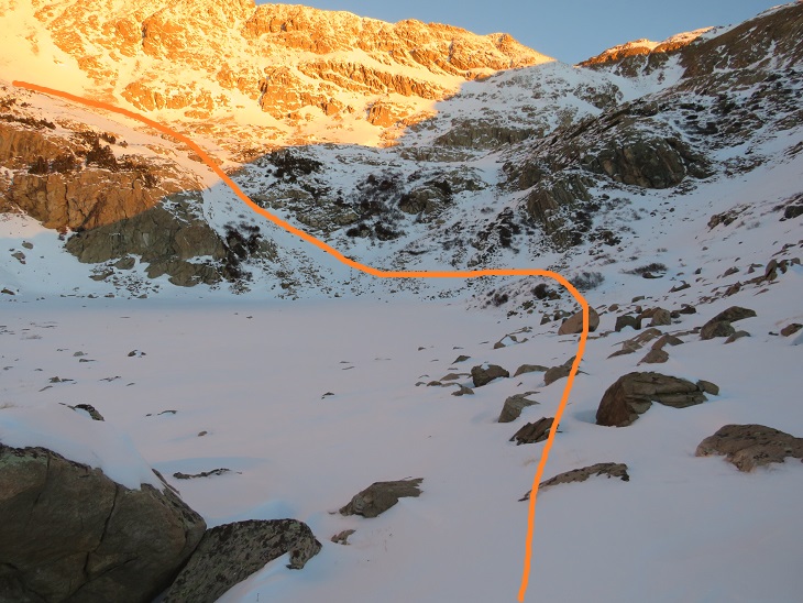
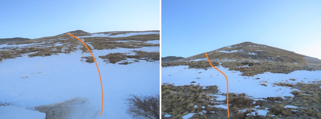
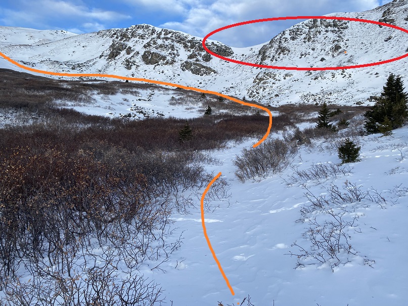
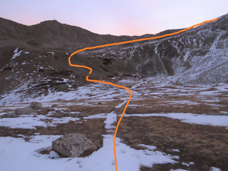
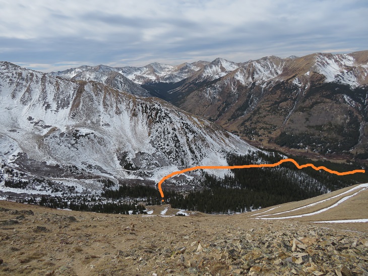
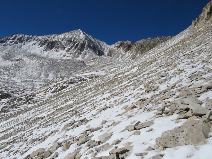
This is where I encountered the most snow of the day.   I continued northwest to treeline, staying just below the ridge
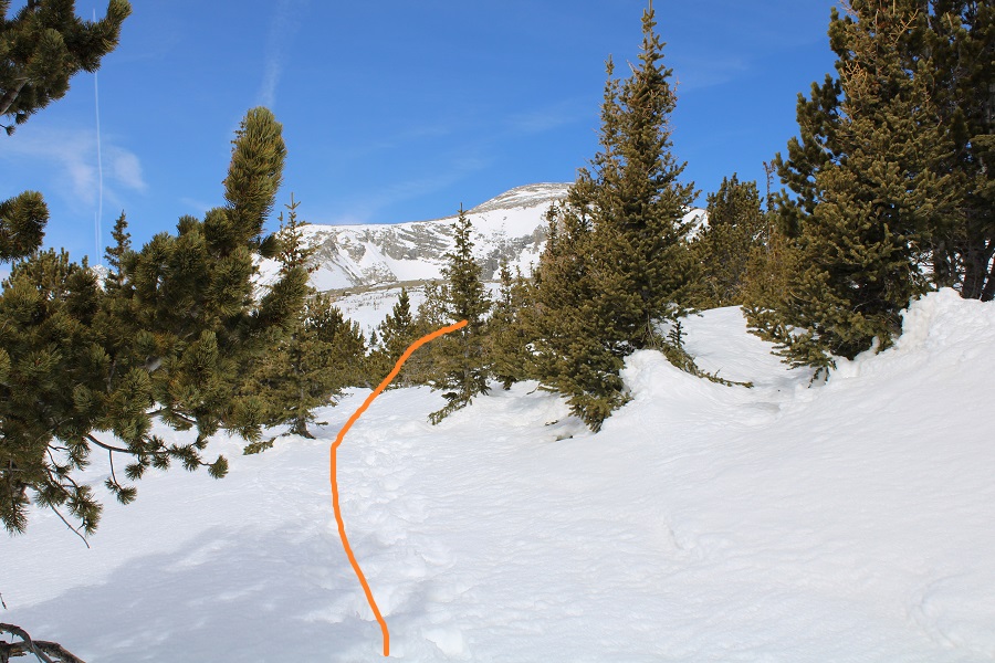
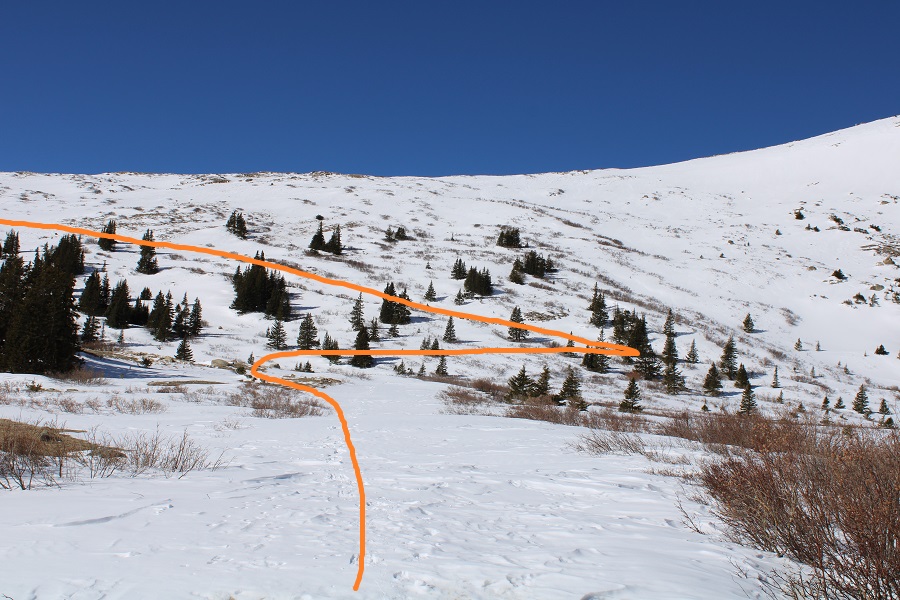
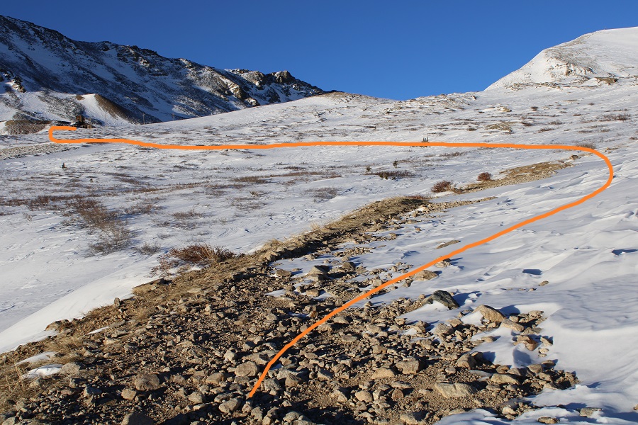
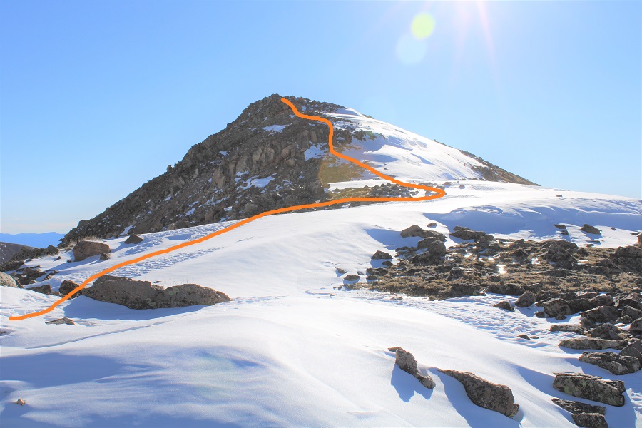
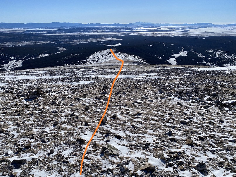
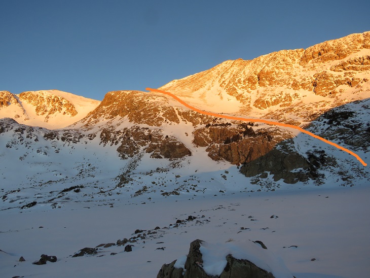
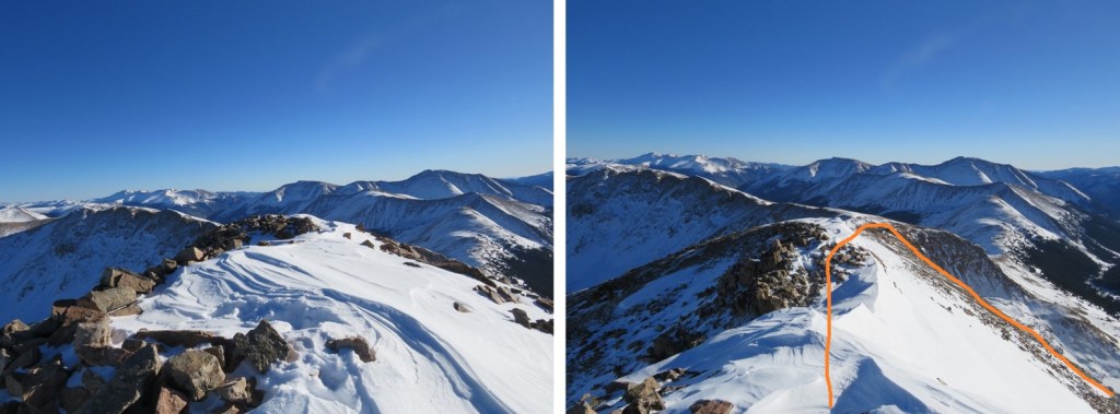
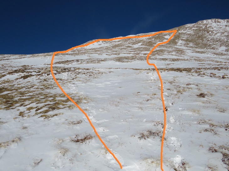
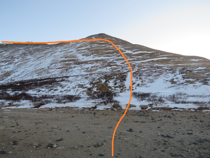
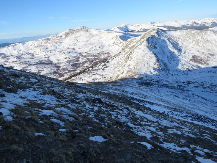
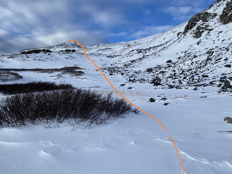
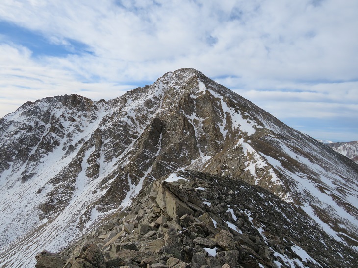
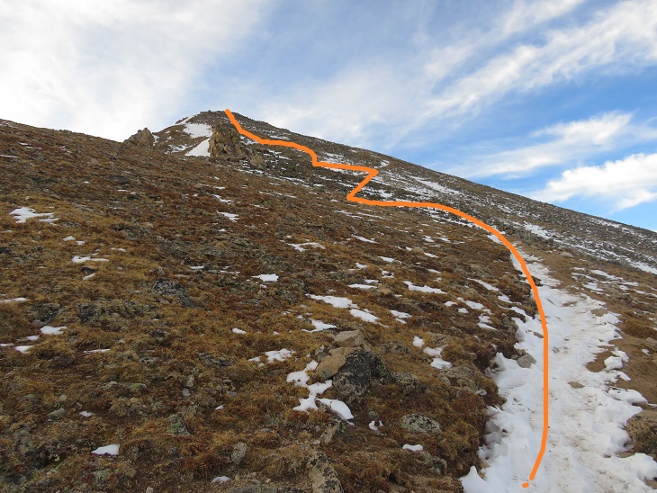
Here’s an overall view of the route I took to the summit of Audubon (note:  in the summer there’s a trail that takes a different route more to the north, which was indistinguishable to me at this time of year due to the snow, so I followed the east ridge instead)
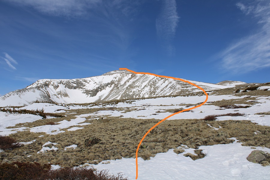
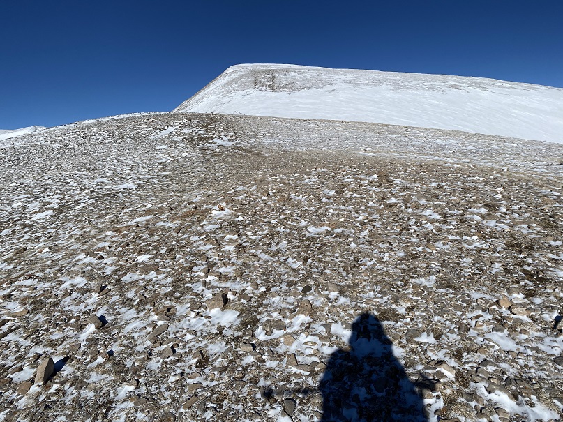
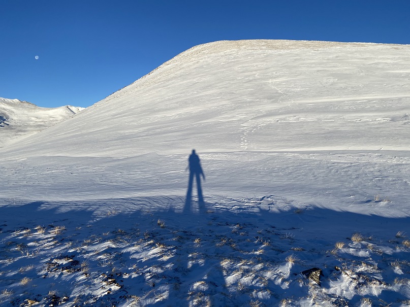
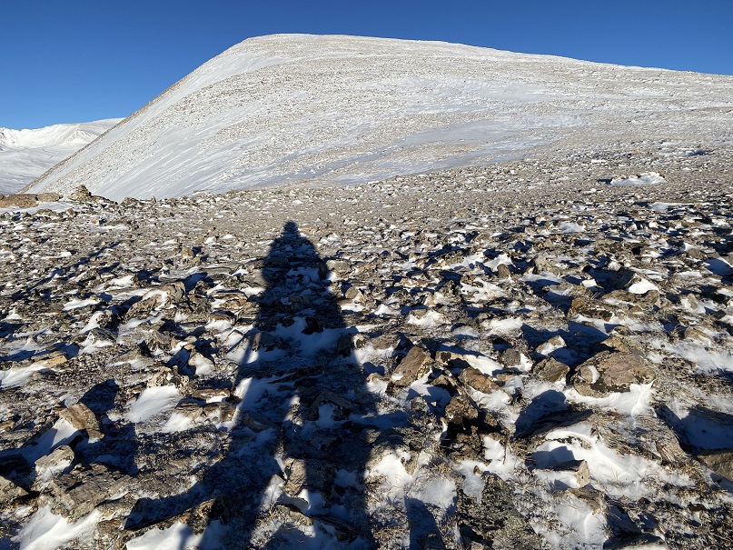
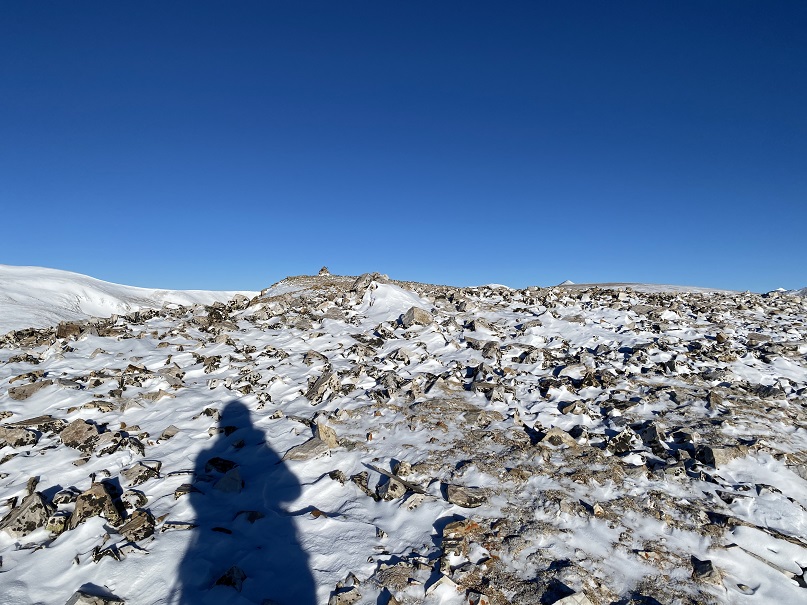
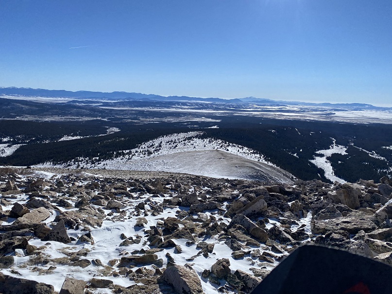
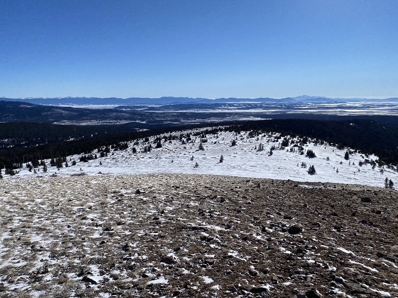
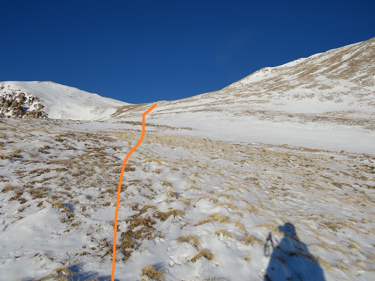
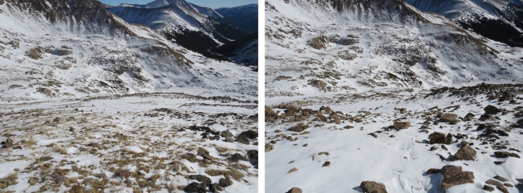
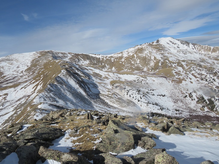
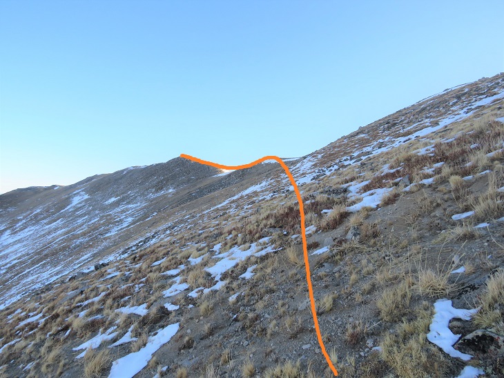
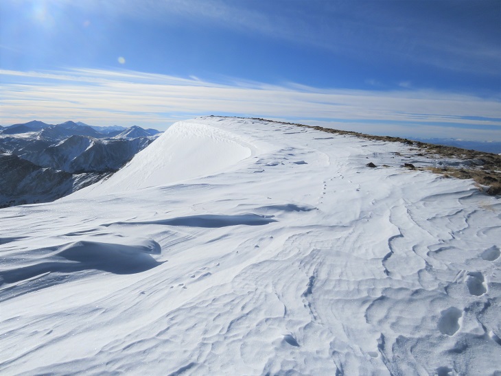
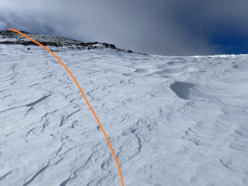
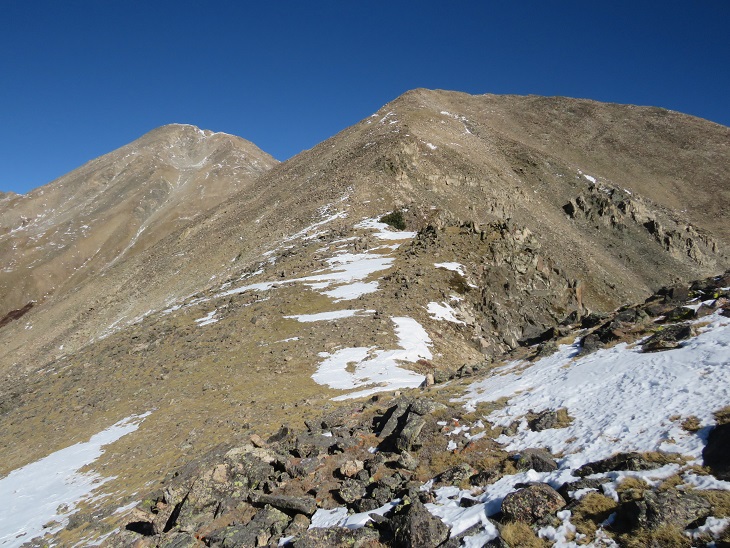
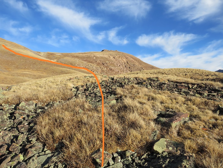
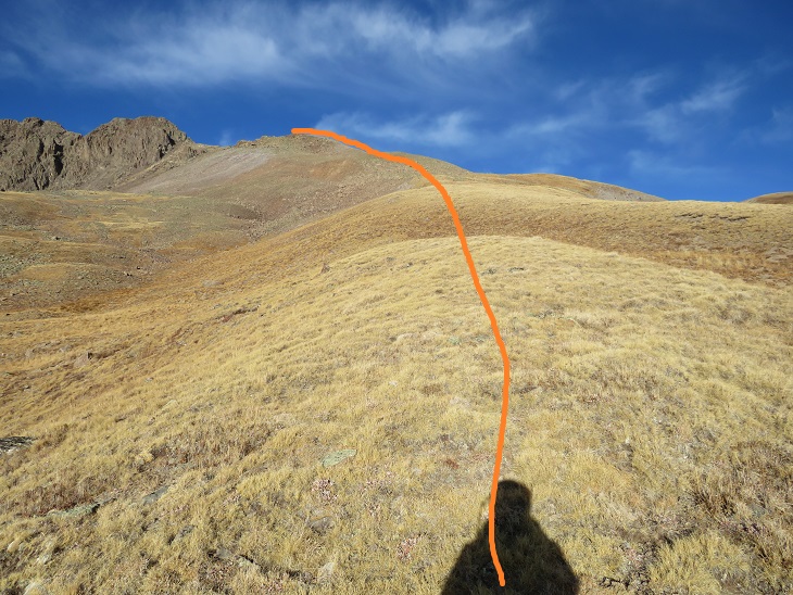
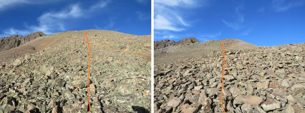
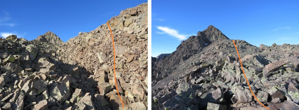
This was a simple ridge hike.  It seemed like the ridge kept going on and on, but I was never tired/winded because it was a gentle slope, mixed with some unavoidable areas of snow, and a little bit of minor rock hopping.
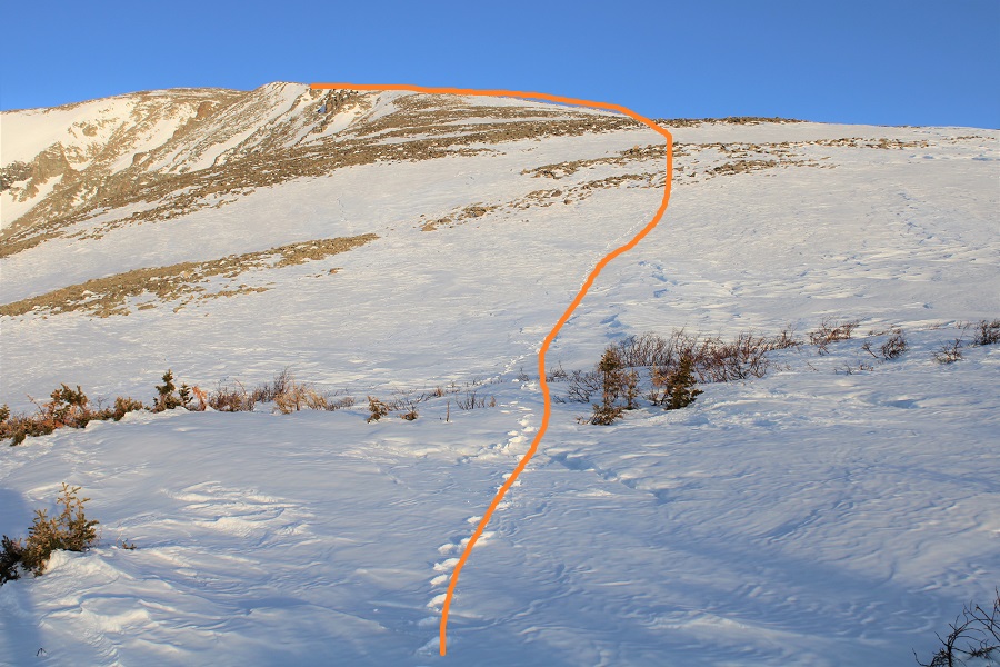
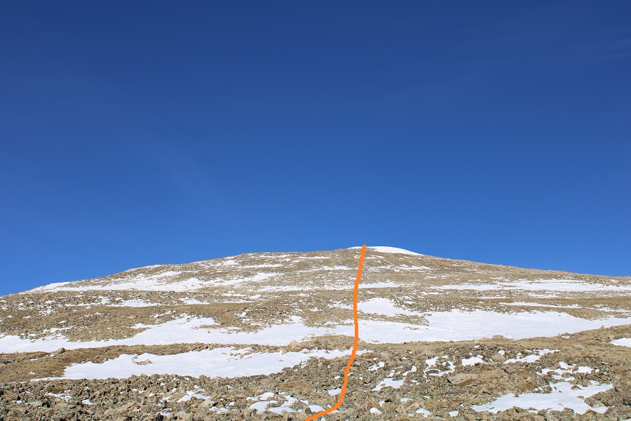
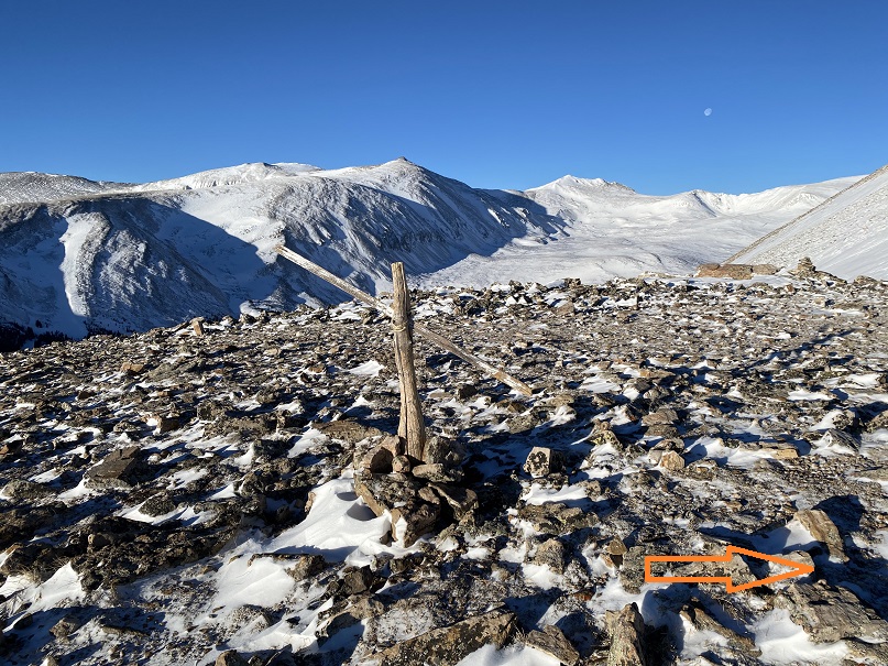
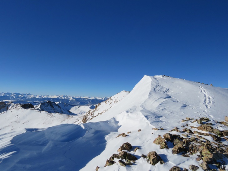
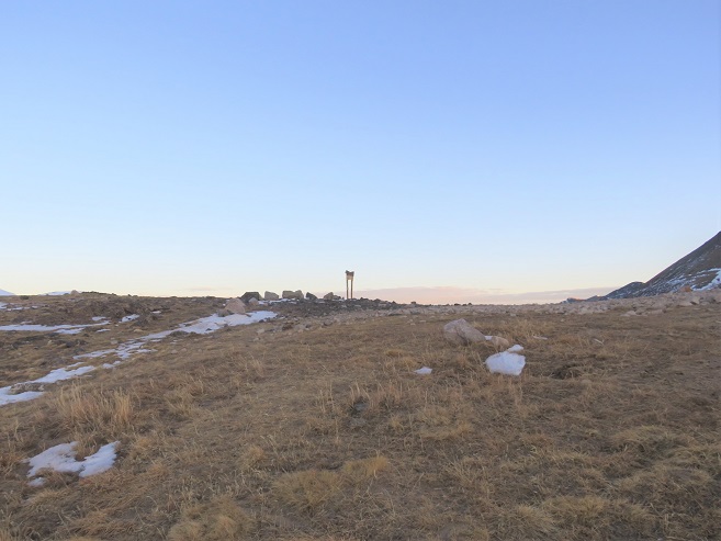
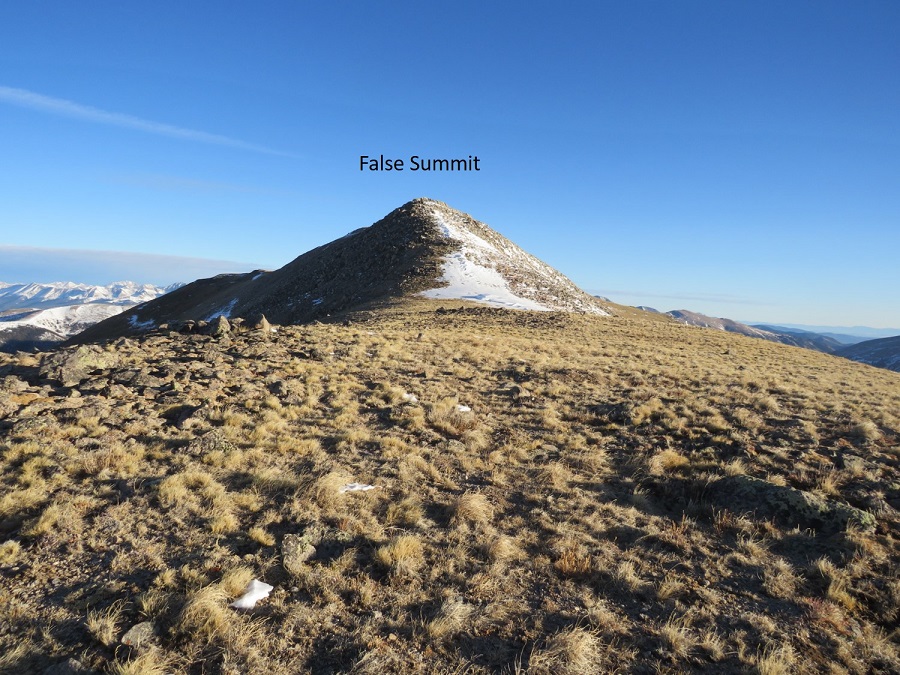
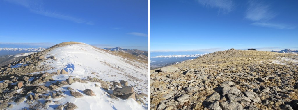
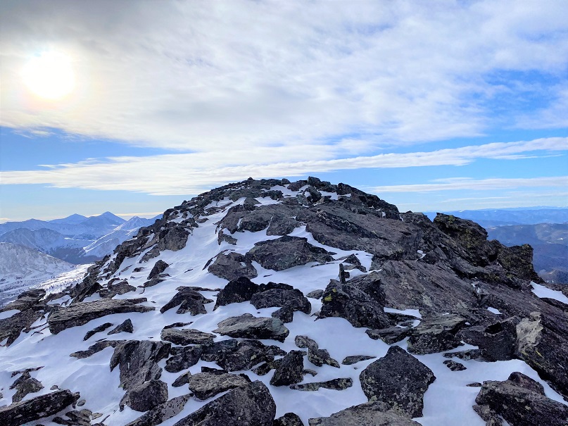
Just when I thought I’d reached the summit (there was a wind break) I noticed the true summit was about 20 yards southwest.
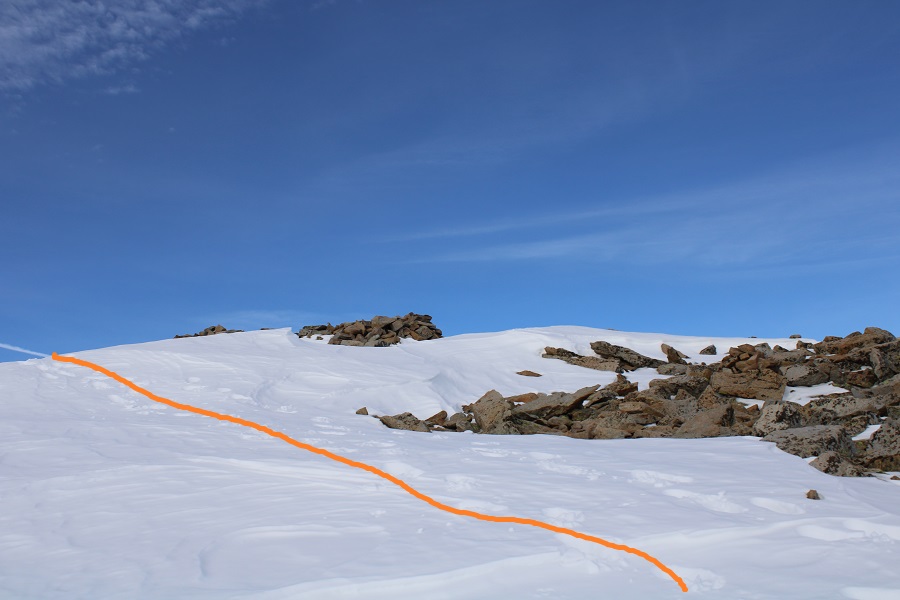
I followed this small ridge to the summit.  This is when the wind that had been nonexistent but predicted for today materialized. 
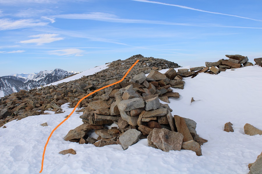
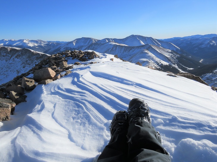
I summited Mt Audubon at 8:20am.  It was Easter Sunday, so I’d decided to hike wearing Easter Bunny ears.  The wind was so intense it blew them off my head and I put them away right after this photo (you can see them in my hands as I’m takin the video).   I didn’t attempt a second shot.

Mt Audubon Summit

Surprisingly, I didn’t get any good photos while on the summit:  It was windy and cold and all I could think about was getting out of this wind and back home (it was Easter, after all, and I wanted to spend it with my kids).  A balaclava would have been helpful, but putting it on at this point overkill, as I just needed to get off the summit and out of the wind. I re-traced my steps back to the false summit
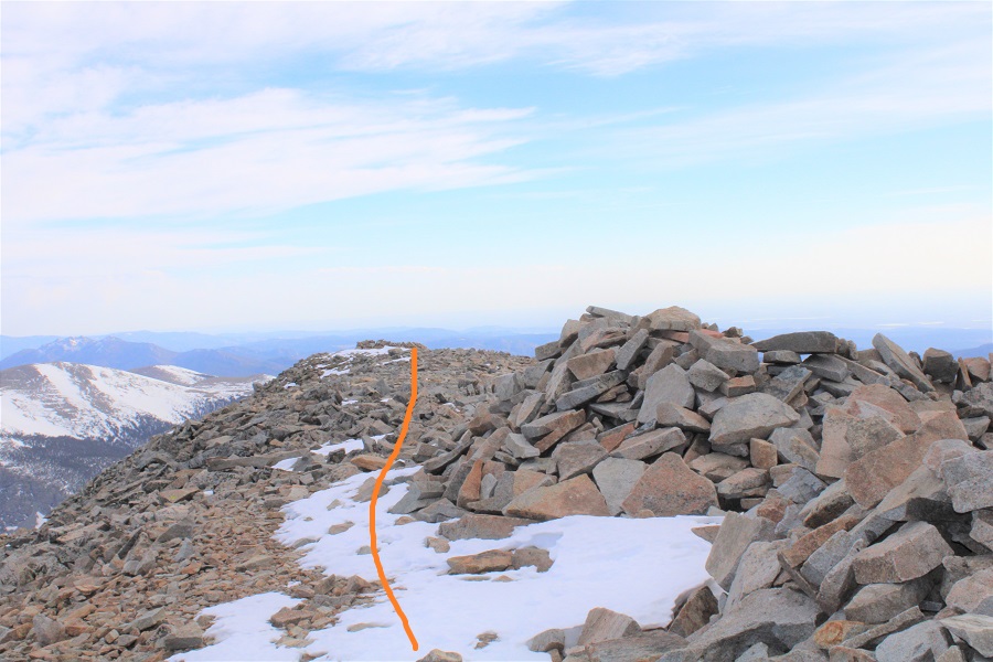
And back down the ridge to treeline. 
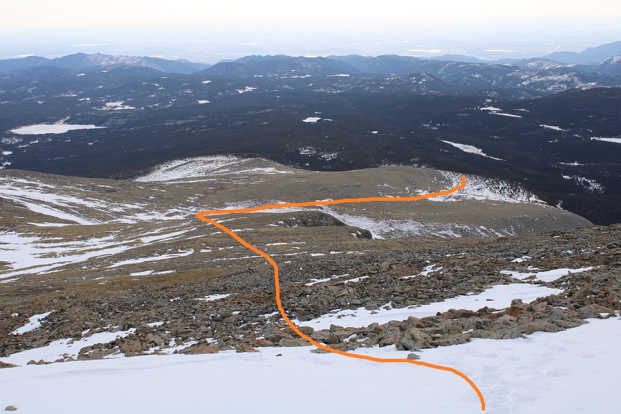
While I was on the ridge I could see someone dressed in all black, meandering in the distance.  This person (and it was obviously a person) was walking without a rhyme or reason, wasn‘t carrying a pack, and eventually hiked out of my sight.  Though I looked, I never came across their tracks on my way down, and wondered how they got there and what was going on with them?  It was obvious they hadn’t summited Mt Audubon today, so why were they out there?

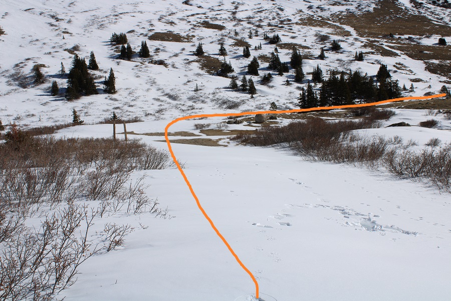
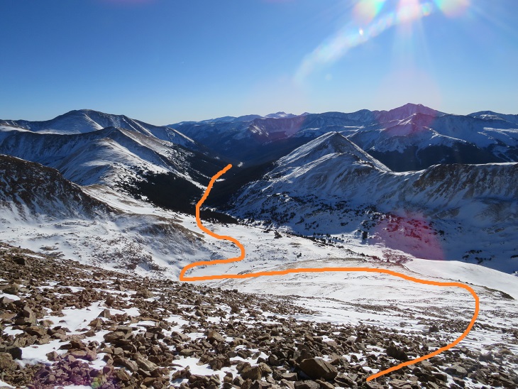
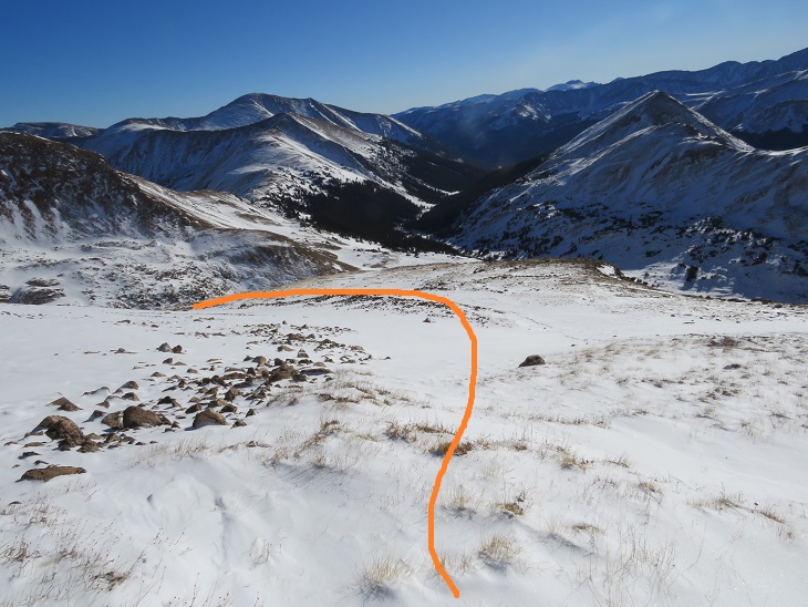
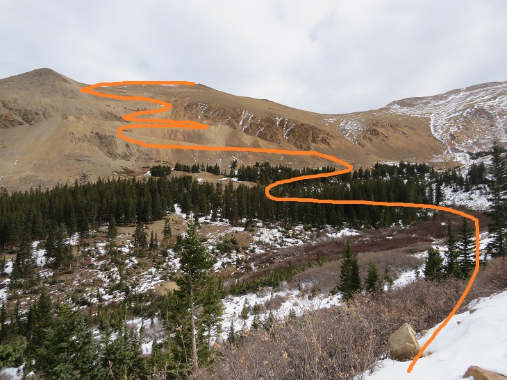
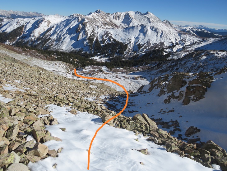
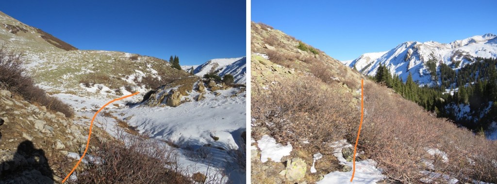
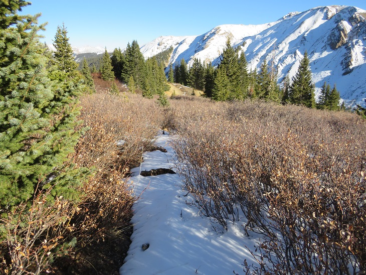
You’d think it would have been easy to just follow my tracks back down, but there were such large segments without snow I often lost my tracks and hiked down without coming across them (most of the time). I just kept aiming here.  Also, the willows sucked (but were avoidable if you want to go around:  I went straight through them).
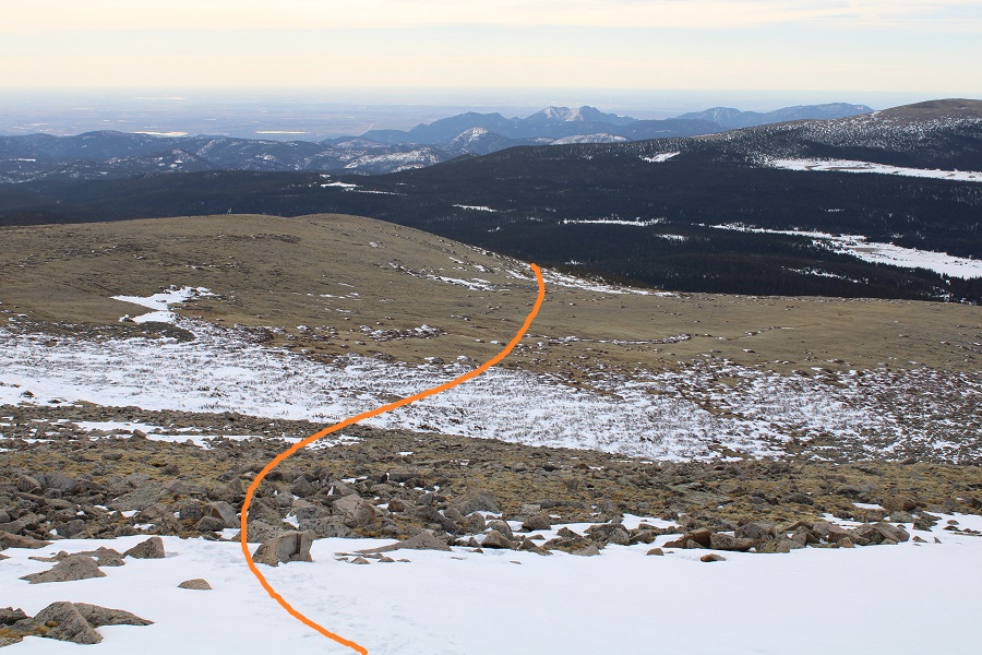
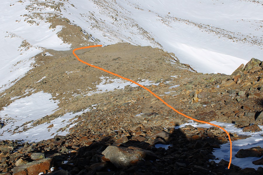
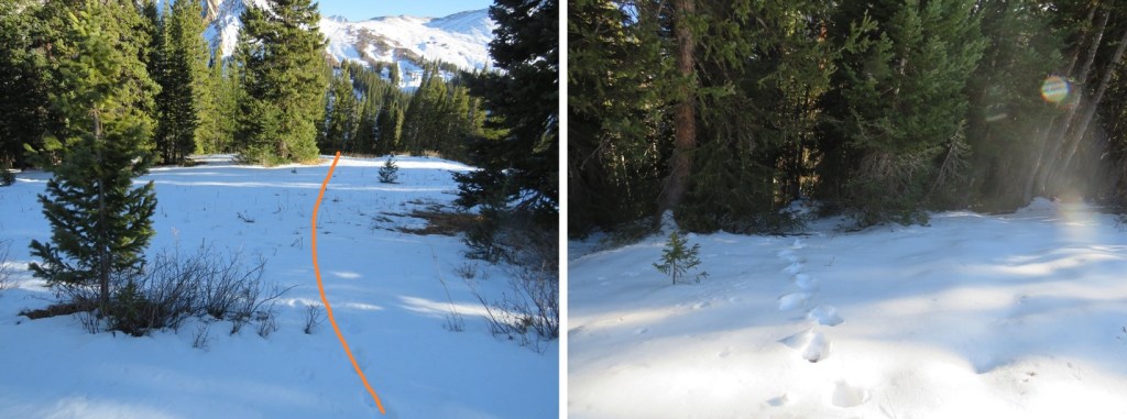
Then stayed right of the ridge as I made to back to treeline, finding my old tracks in the snow.
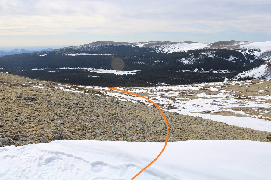
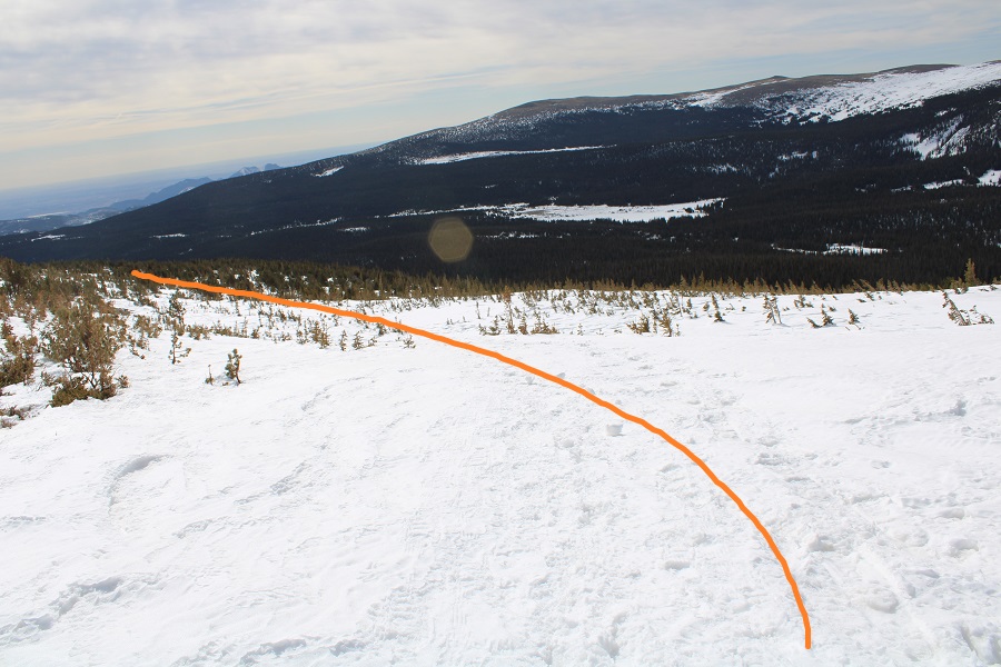
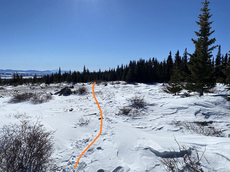
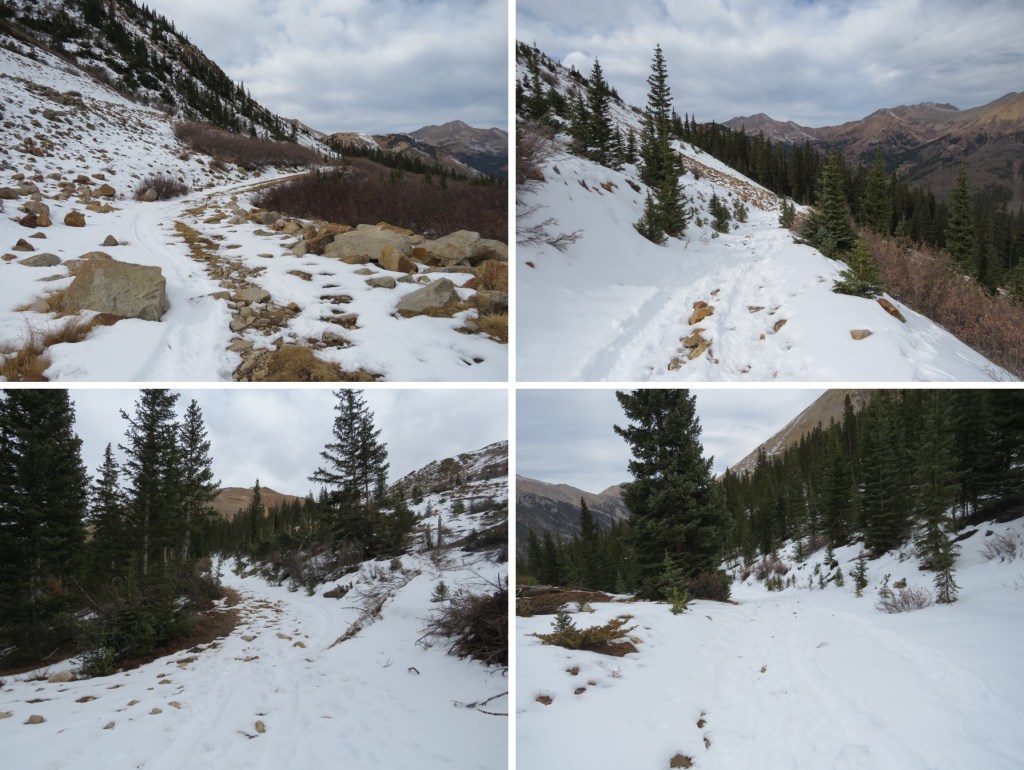
These led me back down the ridge, to the ‘trail’
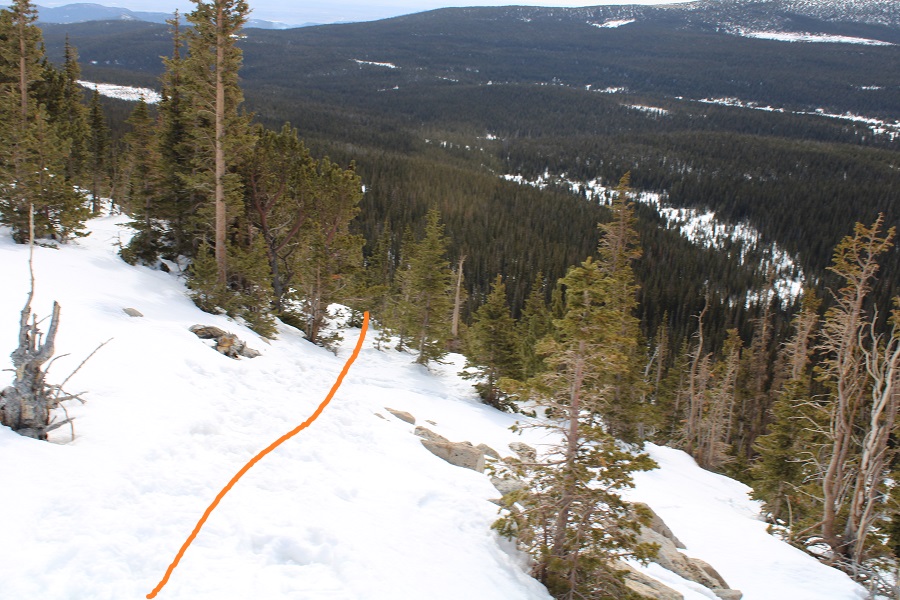
I was worried the sun would have warmed up the snow, but I was still fine in microspikes.  In fact, the snow was of a similar consistency as it had been in the morning, or I would have put on my snowshoes to solidify a trench. As it was, I just stepped in my morning tracks and was fine.
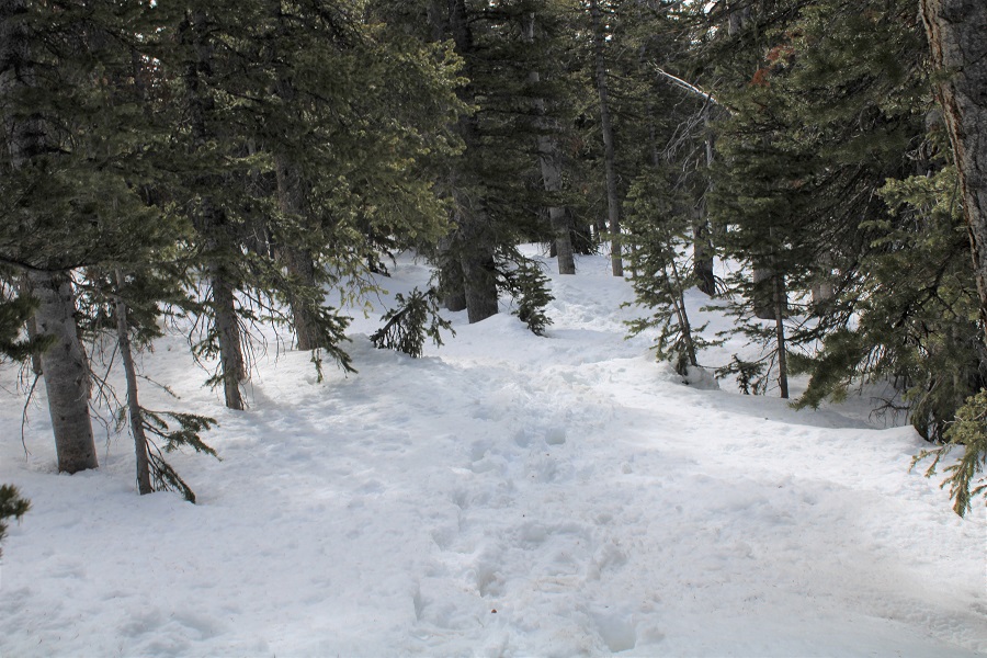
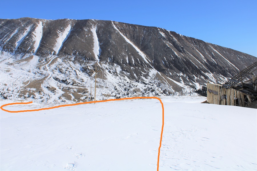
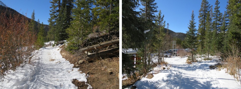
Back at the trailhead I followed the road back to the winter closure
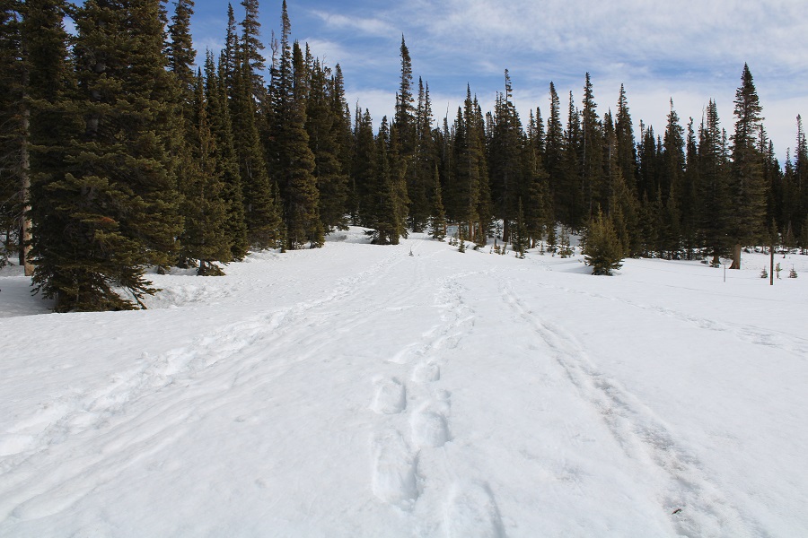
I made it back to my truck, and a trailhead full of vehicles, at 11:15am, making this a 13.07 mile hike with 3285’ of elevation gain in 7 hours. 
London Mountain – 13,194

RT Length:  10.63 miles

Elevation Gain: 2305’

I was looking for another quick summit this week, and was halfway to the trailhead before I remembered the road to Mosquito pass would most likely be snowed in, adding about 5 miles to the hike.  Oh well, I should still be able to make it an early day.  I made it to where the road for Mosquito Pass and 12 meet and due to previous experience with this road in winter decided to park at this junction.  I could have driven about a mile up Mosquito Pass road, but eventually the drifts would have made it necessary to find a place to park.  By parking below I’d be getting in some extra mileage (if not much elevation gain). 

I parked, gathered my gear, and headed up Mosquito Pass road at 6am.

I was excited to try out my new camera.  I tend to go through cameras quickly, as I put them through a ton of use in extreme conditions.  The last time I purchased a camera I bought one that was less expensive, reasoning since I buy them so often I’d like to spend less money.  I found out the hard way cameras that are point and shoot don’t operate well when it’s less than 30 degrees outside. 

The past few weeks I’ve been using a stylus with my iPhone, but I’ve found when it’s extremely cold out even the stylus doesn’t work (although warming the stylus up in my mouth sometimes helps).  After my climbing accident at Garden of the Gods last week where I not only came out road-rashed and bruised but also I crushed my stylus, I decided to just purchase another DSLR.  Yes, they’re heavy, but they withstand the cold.

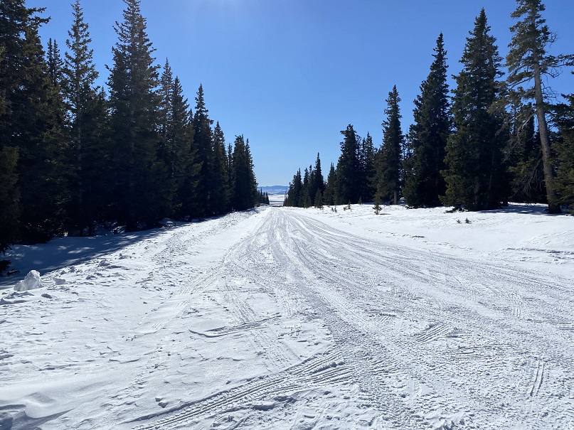
I hiked along the dirt road for 2.5 miles.  The conditions were varying, and I was glad to have worn my microspikes.

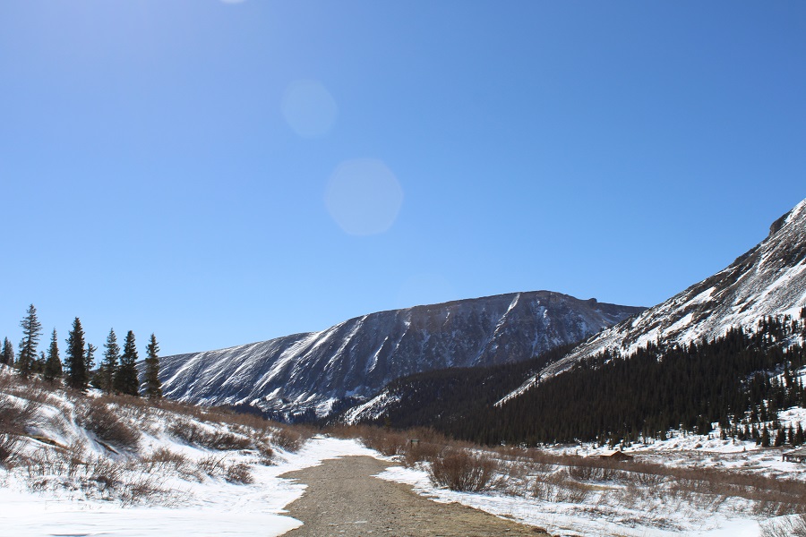
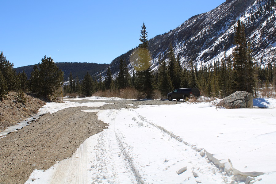
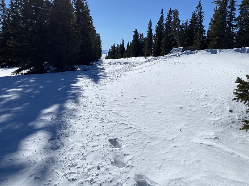
About a mile in was the furthest anyone has been able to drive recently

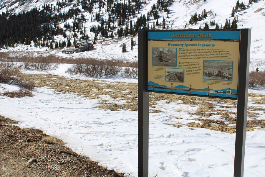
I passed North London Mill

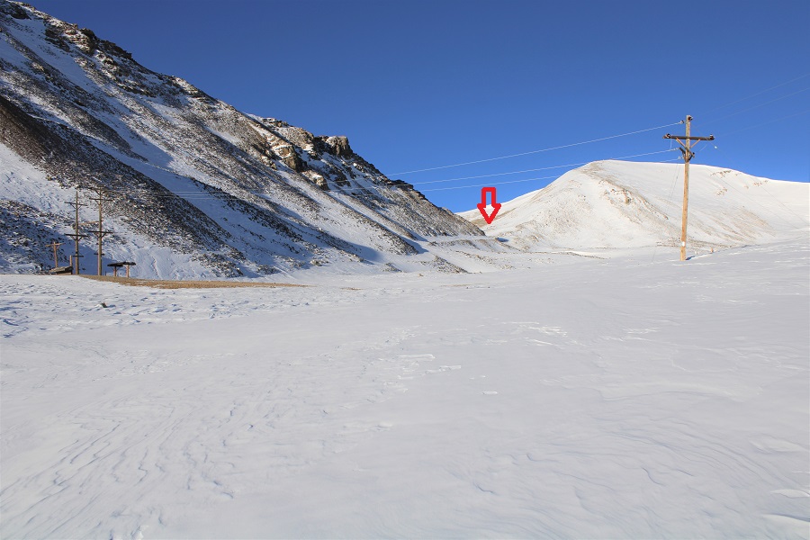
After passing North London Mill I turned left at the junction

It was here the sun began to rise and I started trying out my new camera

It was also here I started postholing more than I could stand.  I decided to put on my snowshoes, and wore them until I made it to the Mosquito/London saddle

I followed the road up to London Mine

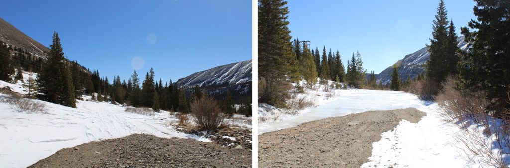
At times the road was completely covered in drifts

The road was covered in snow as I got closer to the mine, so I just had to kind of wing it.

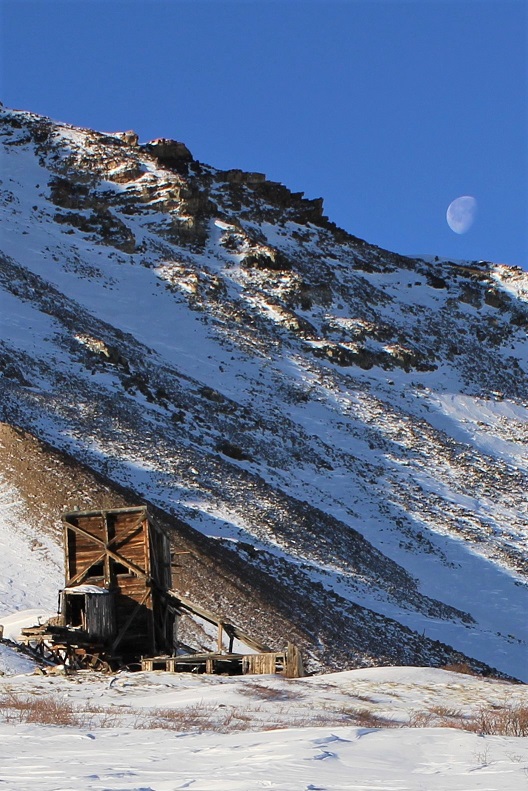
The moon was just going behind the ridge as I reached the mine

I continued past the mine, heading west

And followed the road to the saddle.  From a distance this road looks mild, but I’ve taken this route in winter before, and the drifts can get pretty steep and go down quite a ways into the drainage (the pictures don’t do the drop offs justice).  It’s a good idea to have traction and an ice axe for this part in winter

I made it to the London/Mosquito saddle and took off my snowshoes, turned left, and followed London’s ridge southeast.

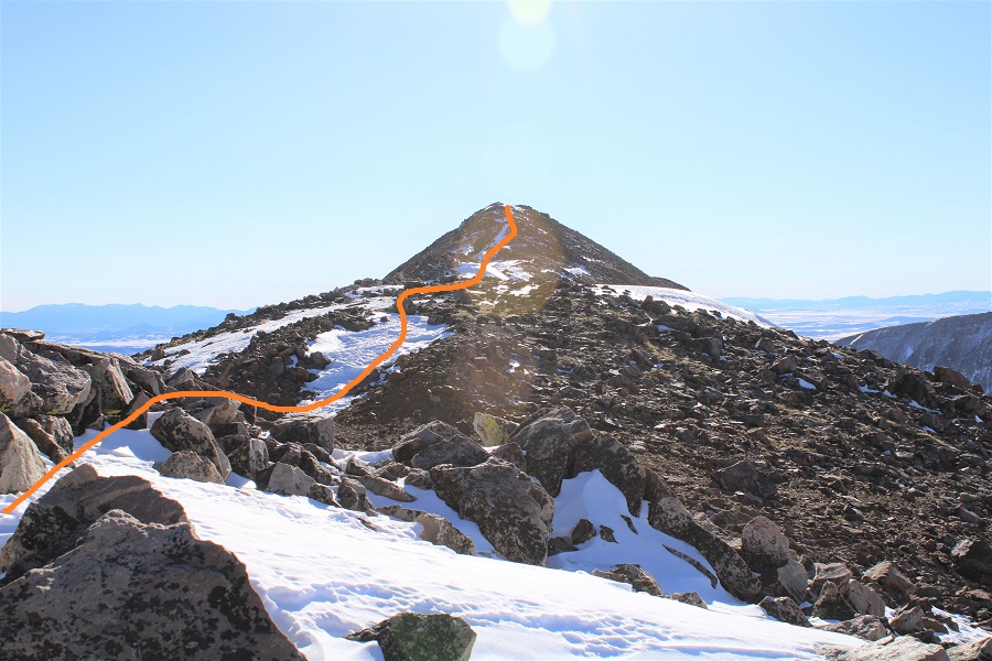
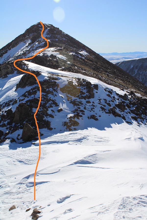
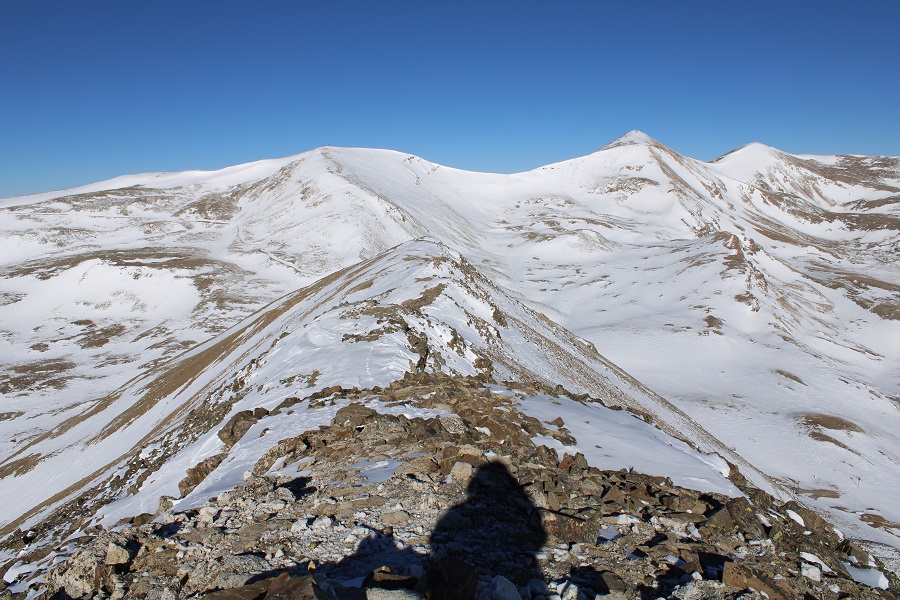
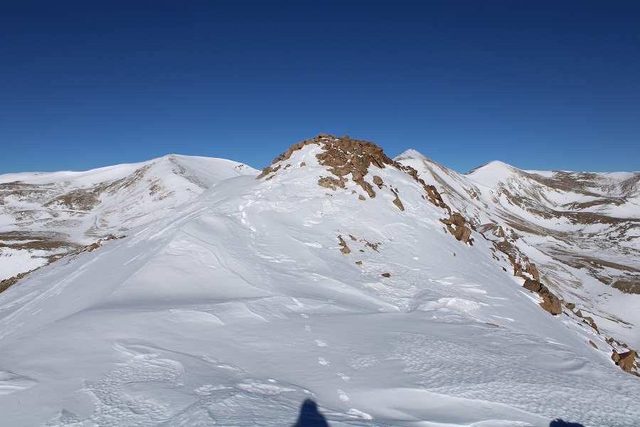
This ridge goes for almost exactly a mile.  After initially skirting to the right, I was able to stick to the ridge proper the entire time, and only postholed a few times in the snow.  This is all class 2, with the snow making it an easy class 3 in just a few areas.  Also, I didn’t remember it until I got back home and looked at my pictures, but the one drawback of this camera are the sun spots when directly facing the sun.  I know what causes them, I just need to be more diligent in the future against preventing them.  Here’s the ridge route, with a bunch of false summits:

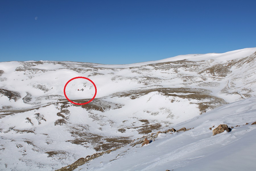
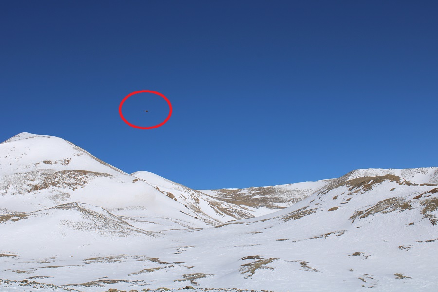
About halfway along the ridge I heard a loud buzzing, looked around, and saw a biplane flying very low.  I watched it go around the mountains and through the passes.  So cool!  I wanted to wave, but didn’t think they could see me, and also worried they might think I needed help if I did. 

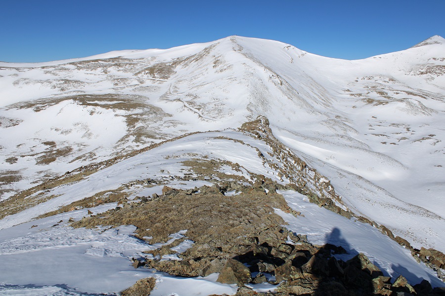
Here’s the final trek to the summit

I summited London Mountain at 8:30am

London Mountain Summit

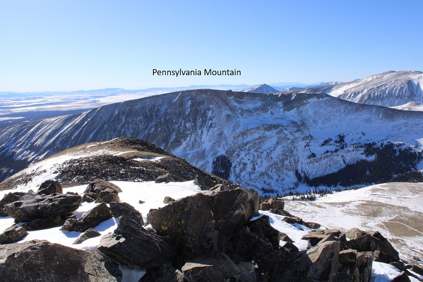
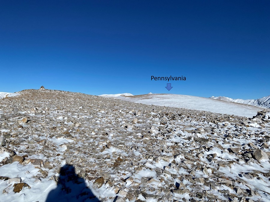
I had a good view of Monday’s summit:  Pennsylvania Mountain

Here’s the trek back down the ridge

Yes, this is all class 2/easy class 3 to avoid snow

And back towards the mine

Here I heard another loud buzzing and saw a helicopter fly overhead.  It didn’t look like a rescue helicopter.

Here’s the path the road takes back down

I made it back to where I’d put on my snowshoes, took them off, and turned right onto 12 and followed it back to my truck.  About halfway back my microspikes broke, both of them, so I guess it’s time to get out the needle nose pliers again.  I made echoing clanking sounds as the chains scraped the dirt as I walked the rest of the way back.

I made it back to my truck at 10:45am, making this a 10.63 mile hike with 2305’ of elevation gain in 4 hours, 45 minutes

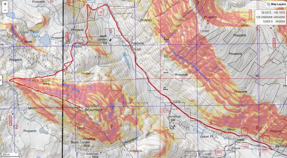
Here’s a topo map of my route:

Pennsylvania Mountain – 13,013

RT Length:  5.35 miles

Elevation Gain:  1509’

I had a lot of work to get done today, but the weather was really nice and I was itching to get out and hike something above 10K, so I picked a peak I could do relatively quickly.  In fact, I think the drive to the trailhead was longer than the hike.  I arrived at the Pennsylvania Mountain Trailhead at 6am and got out my gear.  There are a few turns to navigate to get too the trailhead.  Pro tip:  When I’m unsure if I’ll have cell service on my drive out (thus being able to pull up Google Maps, etc.) I create a road map using CalTopo and add it to my GPX coordinates for the day.  This way I can follow a GPX track back to the main road when I’m done with my hike and don’t need to worry about memorizing or printing out directions. 

I parked at the end of a plowed dirt road in a residential area.  The trail starts to the right

I began with my snowshoes on, and kept them on until making it out of the trees.  I’m sure there’s a trail here in summer, but in winter there wasn’t a solid trail (but there were a lot of ski tracks).  I headed northwest through the trees and willows to treeline.

Once at treeline the route was obvious.  I started climbing the east ridge

The only downside? There were a few false summits

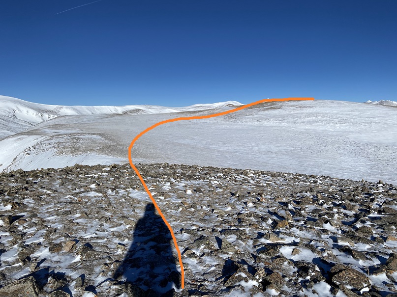
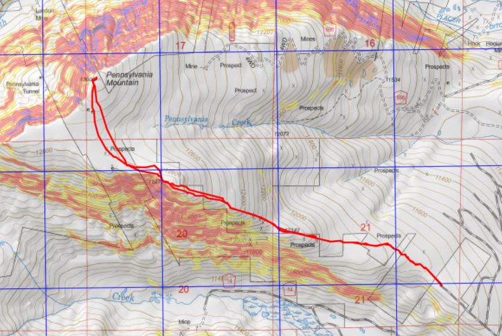
This was the last one however, and included a small decrease in elevation and a plateau before increasing in elevation again.  Here’s the overall route.  It’s really more of a hill at this point than a peak

It’s best to stick to the ridge so you don’t lose too much elevation.  Here I saw a small herd of elk.  They’re in the photos, but too far away to really make out.  I headed northwest towards a mining claim and rock outcropping

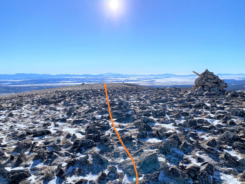
Here’s the final push to the summit

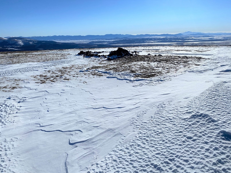
The summit was relatively flat. It was difficult to determine exactly where the true summit was.  There was a wind break and a cairns, but they didn’t seem to be at the true high point.  I decided to just walk around all over the summit.

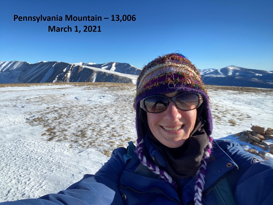
Summit Selfie

Summit of Pennsylvania Mountain

This had been a quick hike so far, and the day was beautiful.  I wanted to stay longer on the summit, but I had to get to work.  I turned around and headed back the way I’d hiked in

I stopped by the mine on the way back. There wasn’t much left of the structure

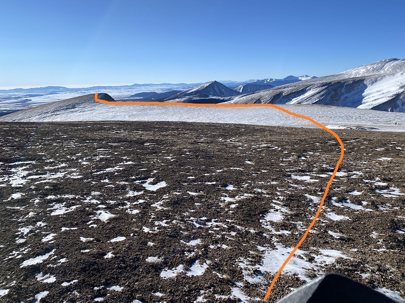
Then I aimed for the knob in the ridge

And then headed back down all those small, false summits

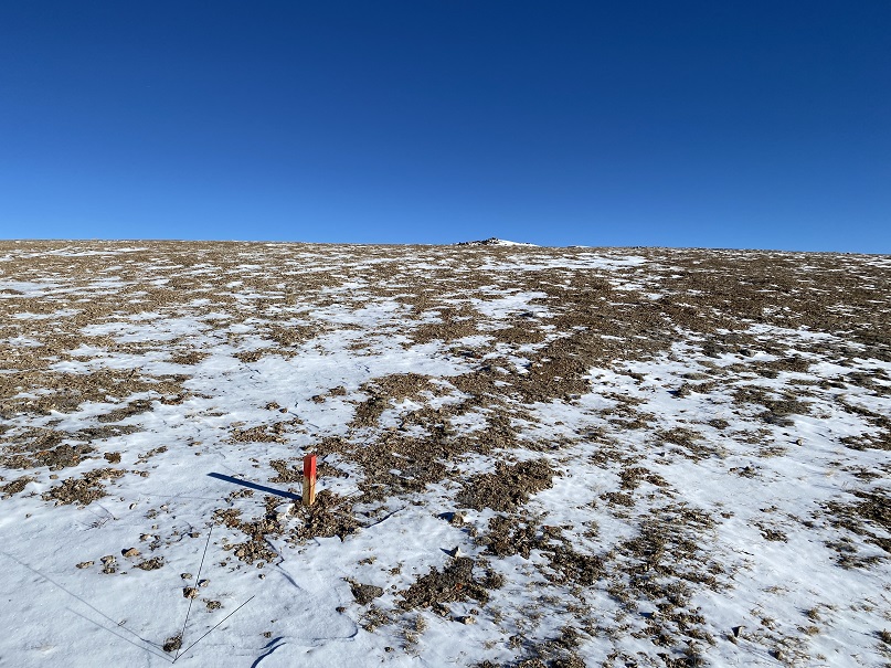
There were numbered markers scattered all over the hillside.  I think they have something to do with the mining claims

Back near treeline I put my snowshoes back on and headed through the trees and willows to the parking area. 

Here’s a look at the road out

I made it back to my truck at 8am, making this a 5.35 mile hike with 1509’ of elevation gain in 2 hours.

This was a very nice and short, mild winter hike. 

Pettingell Peak – 13,559

RT Length:  9.89 miles

Elevation Gain:  3407’

I was surprised to find a few other vehicles at the icy Herman Gulch trailhead when I arrived.  Two looked abandoned, and the other looked like someone was sleeping inside.  Brave, considering it was 12 degrees outside (which seems to be the magic number this season).  I parked, gathered my gear, and was on the trail at 5am.  This time of year it’s very cold in the mornings, which means it’s very difficult to motivate myself to get out and hike, but I always know I’ll be glad I did later.  Such was the story this morning.

The trail starts just behind the information sign at the north end of the parking area.

I followed the Herman Gulch trail for .25 miles before turning left and a junction and following Herman Gulch Trail 98 (the signs are obvious)

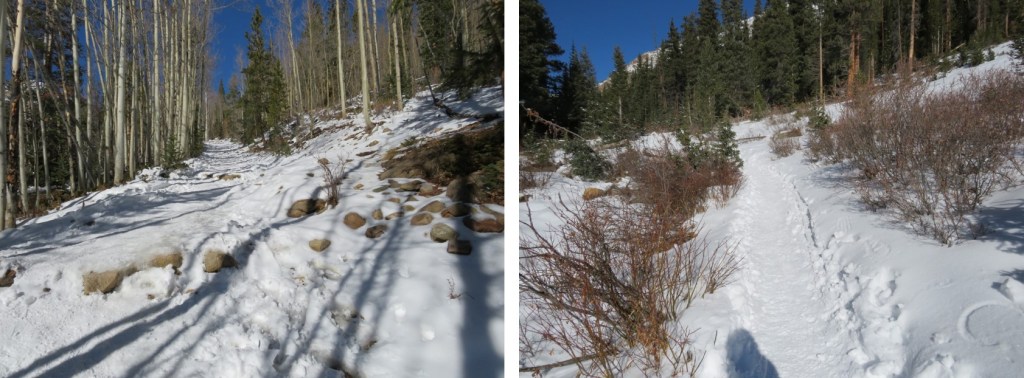
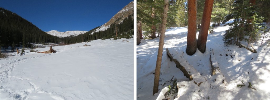
I followed this well packed, class 1 trail for 3.5 miles to the upper basin.

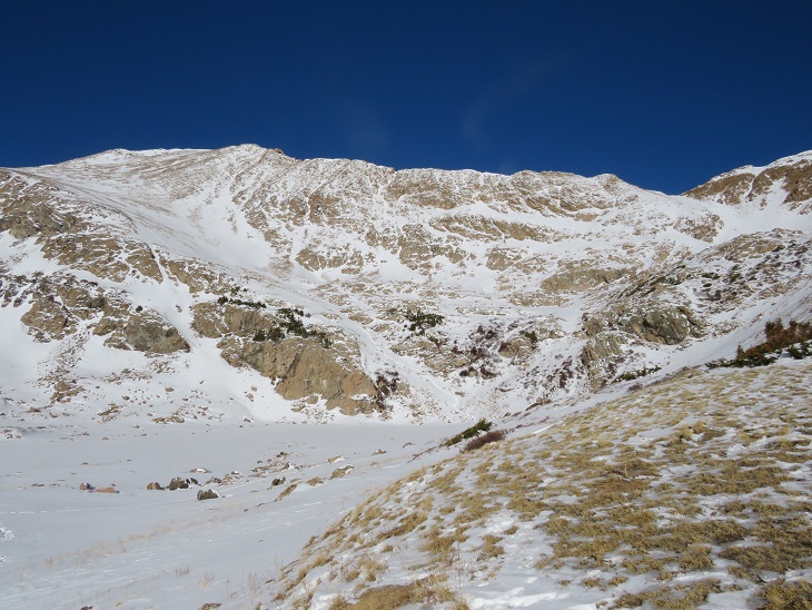
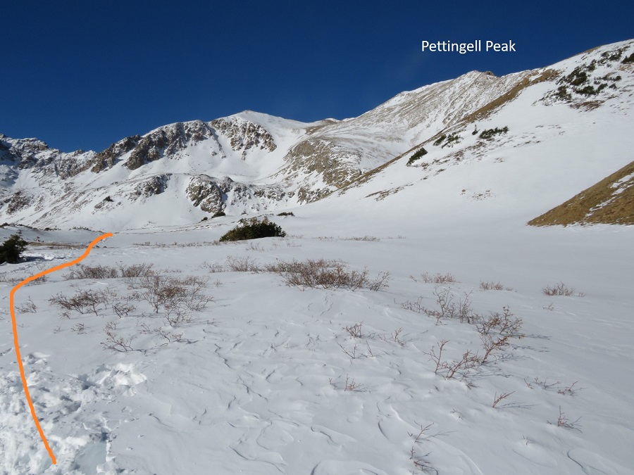
Once in the upper basin the trail ended and the fun began!  I put on my snowshoes for this part. I knew there was a lake here (Herman Lake), but with the snow I wasn’t sure of it’s exact location/outline, so I skirted the lake to the right, staying on what I knew to be solid ground.  I’ve fallen into a snow covered lake before, and didn’t want to repeat the experience.   Here’s an over view of my hike.  I took the solid line up, the dotted line down

And step by step, first skirting the lake

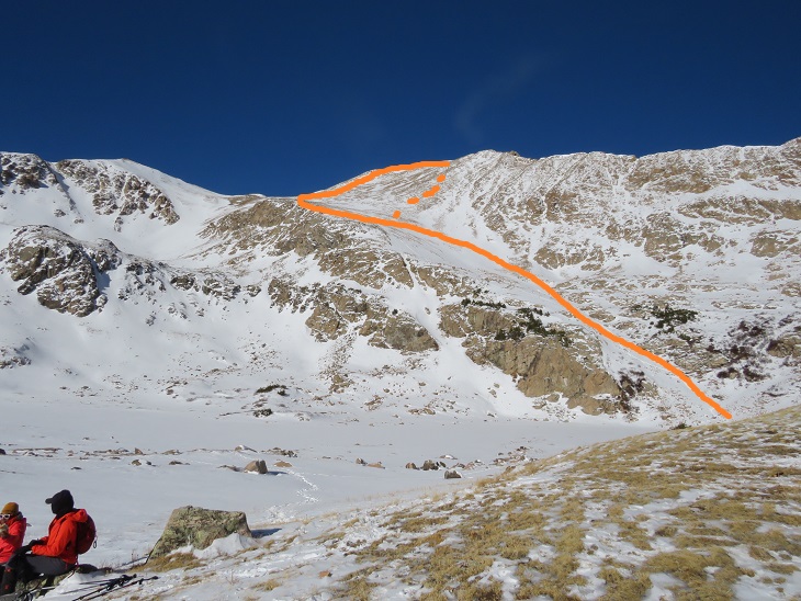
Then finding an access rib, and following it west

The snow here was sugary and I kept postholing/treading backwards.  I’d forgotten my ice axe at home and only had my trekking pole.  The trekking pole worked, but if I’d slipped it would have been nice to have had my ice axe (especially just before the summit).  Here are some pictures of the way up the rib

The further up I hiked the less snow there was.  Here I kept on my snowshoes because they were helpful more than not.  I aimed for the saddle

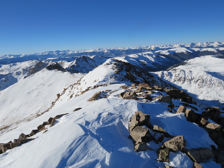
Once at the saddle I had to take off my snowshoes because they started getting in the way.  Here I turned right, and followed the ridge northeast to the summit.

There was snow at the summit, but it wasn’t worth putting on my snowshoes.  Here is where I would have liked my ice axe as well. Instead, I held my snowshoes in one hand, trekking pole in the other, and climbed up.  The snow here was very sugary and at times I sank up to my waste.

But this wasn’t the summit… Here’s the actual summit

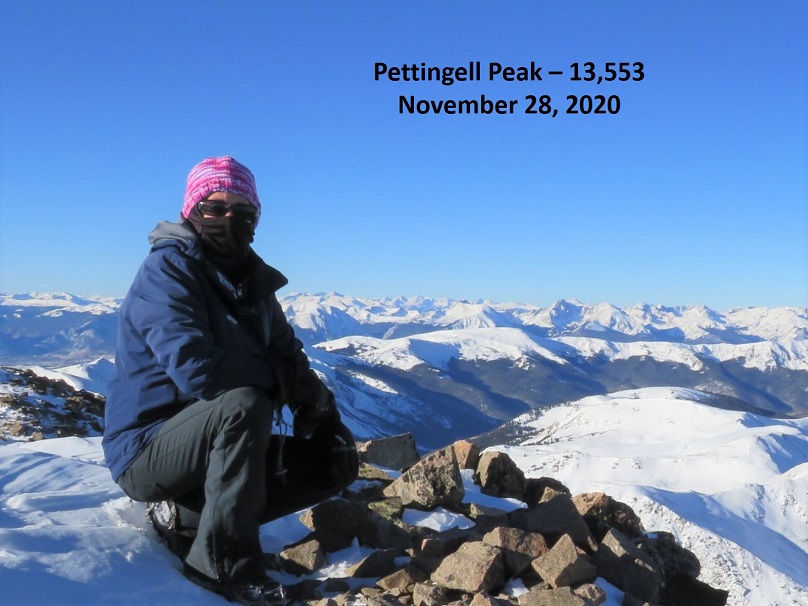
I summited Pettingell Peak at 8:50am

Pettingell Peak: 

Here’s looking back at the ridge I took in

It was a beautiful day so I sat for a bit on the summit, enjoying the view. (I was so glad I’d gotten out and hiked!)

From the summit I continued hiking northeast, making a little loop of the ascent.

Looking back, you can see a cornice is beginning to form near the summit

Here’s an overview of the route I took down from the ridge, back into the basin, and out through Herman Gulch

The initial descent didn’t have much snow, so I scree surfed down.  Here’s a visual of the fun

Scree Surfing: 

After the scree ended I put on my snowshoes as I descended into the basin.

Here’s a look back at how I ascended (left) and descended (right) Pettingell Peak

And now, back to the basin (following my tracks in)

I once again skirted the lake and made it back to the basin, where there were dozens of people, several dogs, and a well packed trail awaiting me. 

Here’s looking back at my tracks coming down from Pettingell Peak.

I took off my snowshoes and followed the trail southeast

Here are some pictures of the well packed trail out.  I passed dozens of people on this part of the hike as well

Back to the junction, where I turned right and hiked the quarter mile back to the trailhead

I made it back to the trailhead at 11am, making this a 9.89 mile hike with 3407’ of elevation gain in 6 hours.  When I made it back to the trailhead all of the dozens of parking spots were taken.

Autocorrect is the bane of my existence (especially with Raynaud’s, as my fingers don’t register on touch screens very well).  When I saved this trip via Strava and named it, I made sure I typed in ‘Pettingell Peak’ under ‘title your run’. I checked more than once to make sure I’d spelled the peak correctly.  Unfortunately, it autocorrected once I hit send, and got titled instead ‘Petting Elk’.  If you see any, don’t pet the elk.

Tincup Peak – 13,345, Emma Burr Mountain – 13,538 & PT 13050

RT Length:  15.94 miles

Elevation Gain:  4888’

This was my third attempt at Emma Burr Mountain.  The first two times I turned back due to wind, but today the forecast kept wind speeds around 15mph, so I tried again.  I was in this area last week, and the approach conditions are still the same, so I’m just copying and pasting for efficiency purposes. 

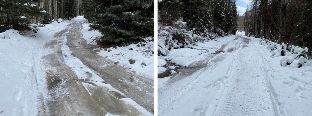
The drive in to St Elmo was icy but doable in a 2wd

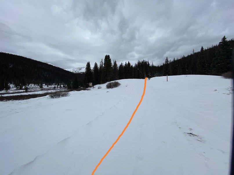
I was on the trail at 4:00am.  The trail starts out following Trail/Road 267 west

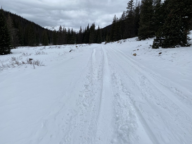
This road goes all the way to Tincup Pass, and by the looks of it, a 4WD vehicle had driven the entire way recently.  High five to this individual, as they have some serious chutzpah. I was glad I’d parked below however, as I wasn’t sure how my truck would have done on the ice.

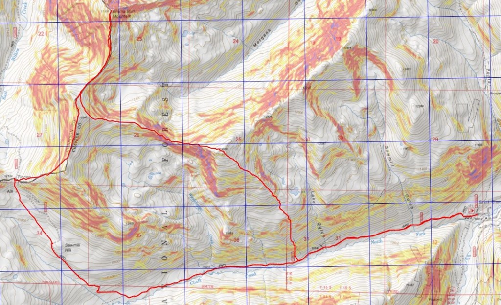
This trail parallels North Fork Chalk Creek. 

I followed the road for 5.15 miles, staying right here to stay on the road. As I hiked, I saw quite a few moose tracks.  It looked like a mama and baby were in the area, so I was on the lookout.  I saw tire tracks, but no human footprints.

After hiking for just over 5 miles I made it to the upper basin.  Just as with last week, here the tire tracks stopped.  I donned my snowshoes and made my way northwest to Tincup Pass.  I also noticed the snowshoe tracks I’d made last week were gone, and unfortunately, no moose sightings this time.

Once at the pass I got the picture I’d wanted but forewent last week due to the weather.  My son and his Boy Scout Troop always had an annual campout here, with a corresponding picture with this sign.  He’ll get a kick out of seeing the snow in this picture.  The sun was starting to rise.

Here I took off my snowshoes and turned around, heading east up the side of the mountain

This was a much easier hike than I remembered from the last time I was here.  I was pleasantly surprised the wind wasn’t more intense.  Microspikes were overkill here, but once I put them on I rarely take them off because doing so would require me to take off my gloves, and I can’t recover from that type of cold, especially if there’s wind. There was a faint trail here that eventually disappeared. 

Before gaining the ridge I kept to the left, traveling northeast.

Here’s a look back at Tincup Pass

Once on the ridge I followed it to the summit.  This is also where the wind picked up.  I put on my balaclava and followed the ridge. The ridge is long, and there’s a false summit here.

Once at the top of the false summit the true summit was clear. 

I made it to the summit of Tincup Peak at 8:21am. 

Tincup Peak: 

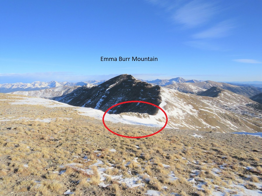
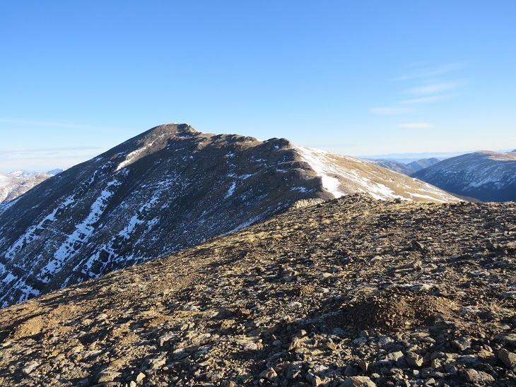
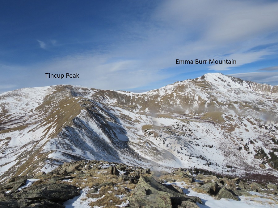
I’d already summited Tincup Peak previously:  My real goal today was Emma Burr Mountain, which can be seen to the north. 

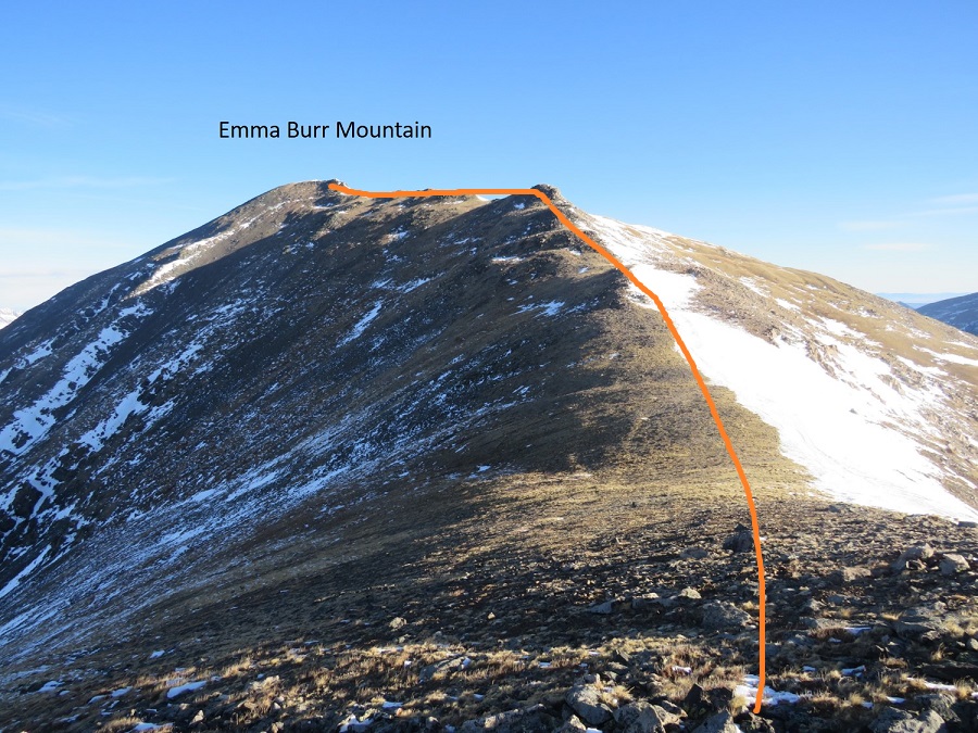
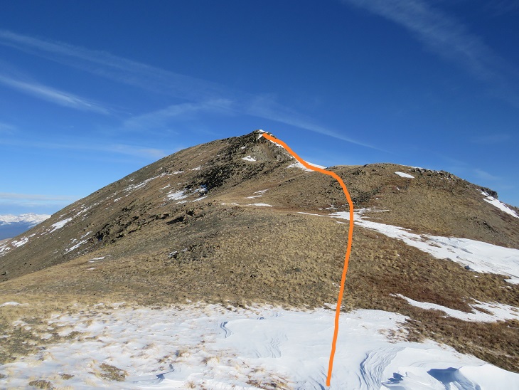
The trek over to Emma Burr looked more difficult than it was. I was especially worried when I saw this part of the ridge

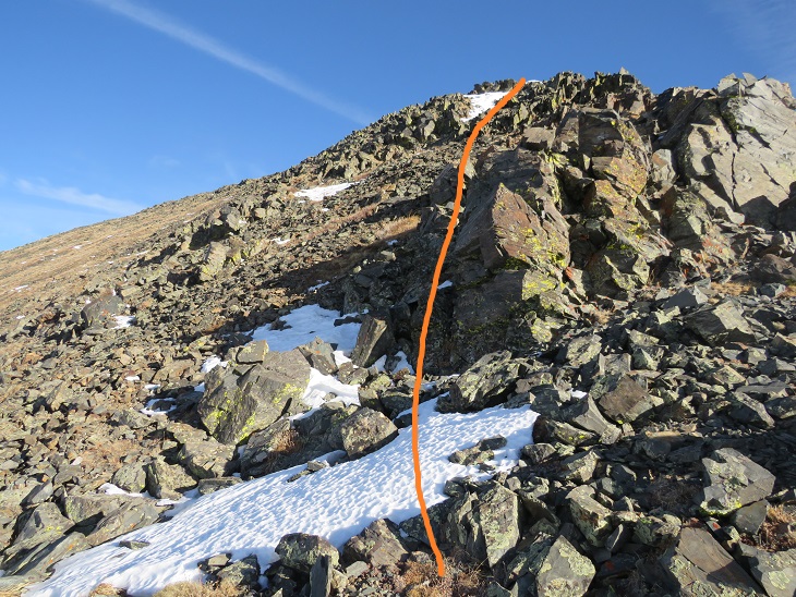
As it turns out, I was worrying about nothing, as there isn’t a dropoff on the left side of the ridge.  This was a class 2 hike all the way to the summit.  I stayed directly on the ridge.

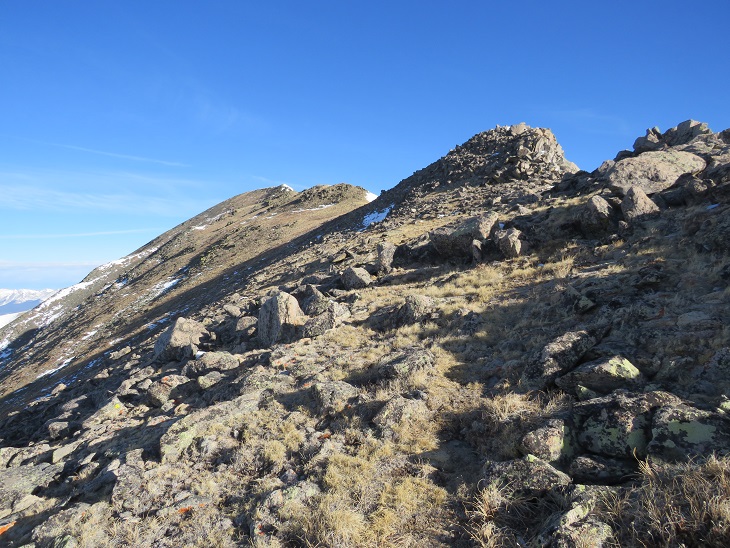
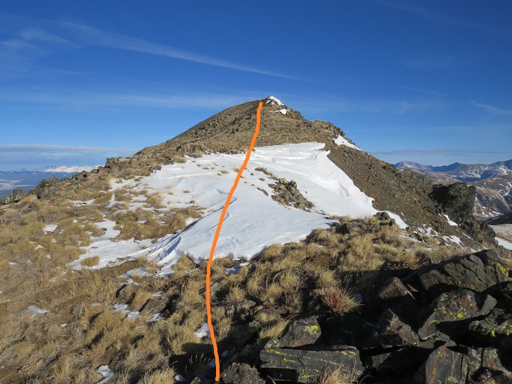
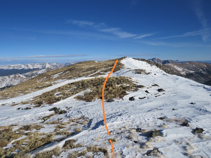
Here are some step by step visuals of the ridge to Emma Burr.  You can stay low here or go high.  Both are class 2

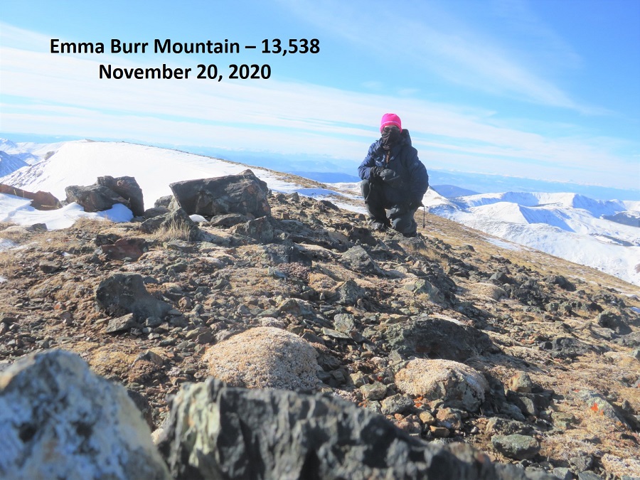
I summited Emma Burr Mountain at 9:22am

Emma Burr Mountain:

It was quite windy, so I didn’t stay on the summit long. Instead, I turned and headed back the way I’d come, towards Tincup Peak.  Heading south now I had a great view of a cornice forming on Emma Burr

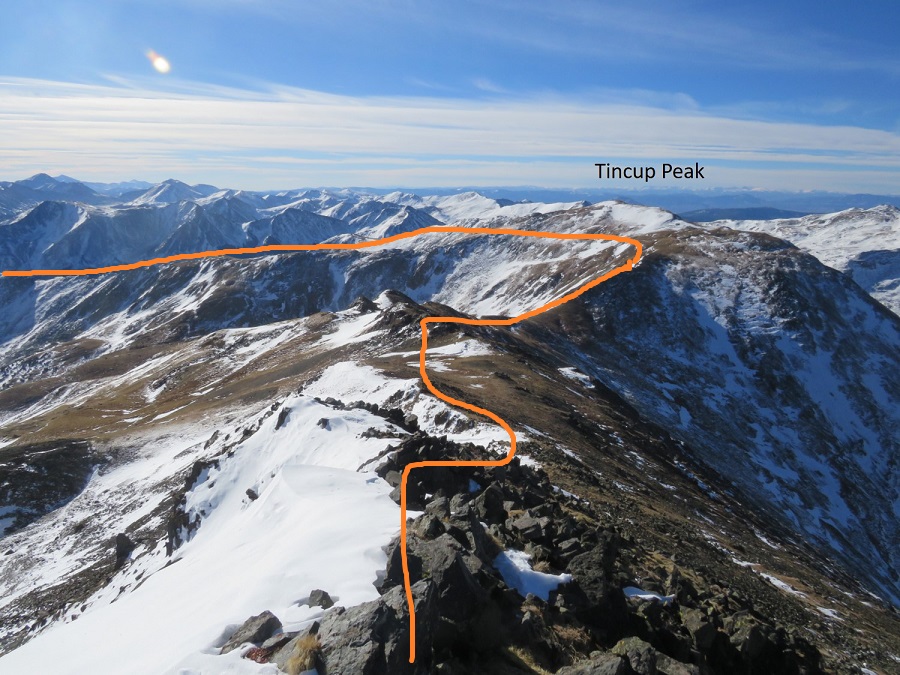
The day was still young and the forecasted snow hadn’t materialized, so I decided to make this a loop and head over to PT 13050.  Here’s an overall view of my route to the ridge.  I didn’t re-summit Tincup, but instead stayed just below snowline

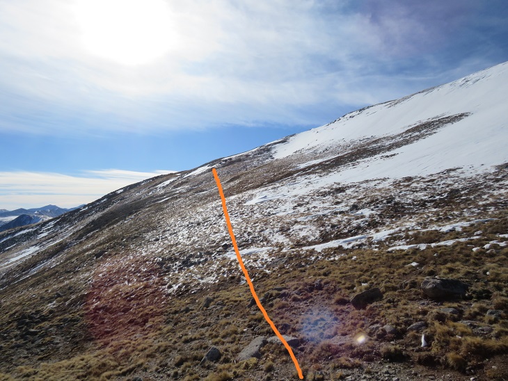
I traversed Tincup’s east slope to the ridge.  Here the wind stopped and it was getting warm, so I was able to take my balaclava off.

Once on the ridge I followed it east.

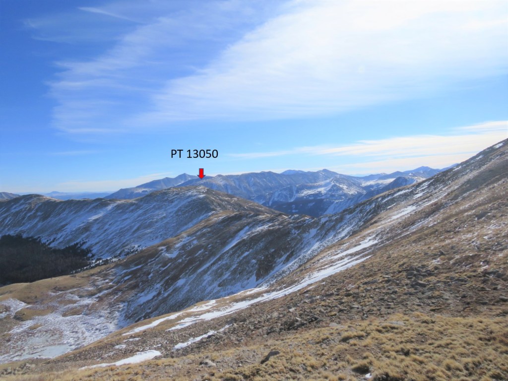
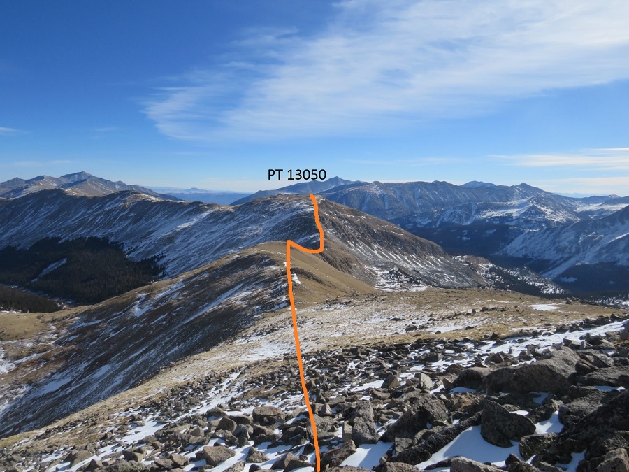
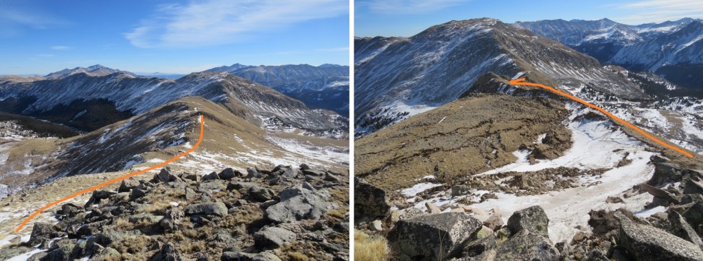
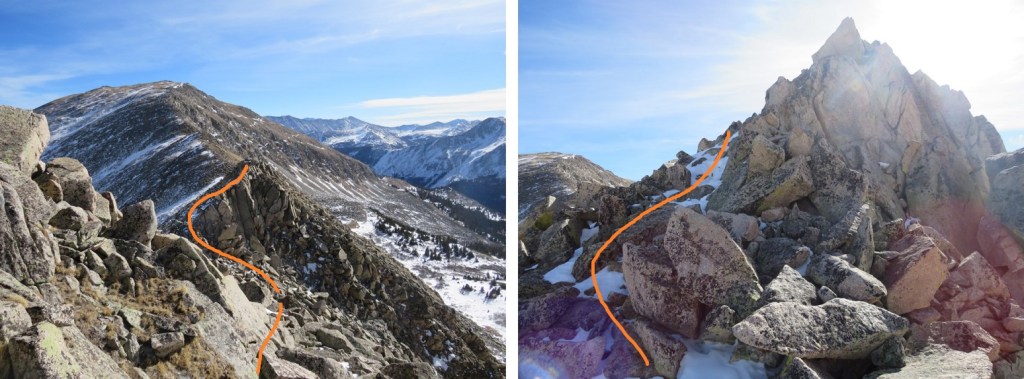
There were times I was worried I’d cliff out (I didn’t have much beta on this peak), but if you stay to the right this stays a class 2 hike.  I lost 660’ of elevation as I hiked east towards the Tincup/13050 saddle.  There’s a gaping hole on the ridge here (I skirted it to the right)

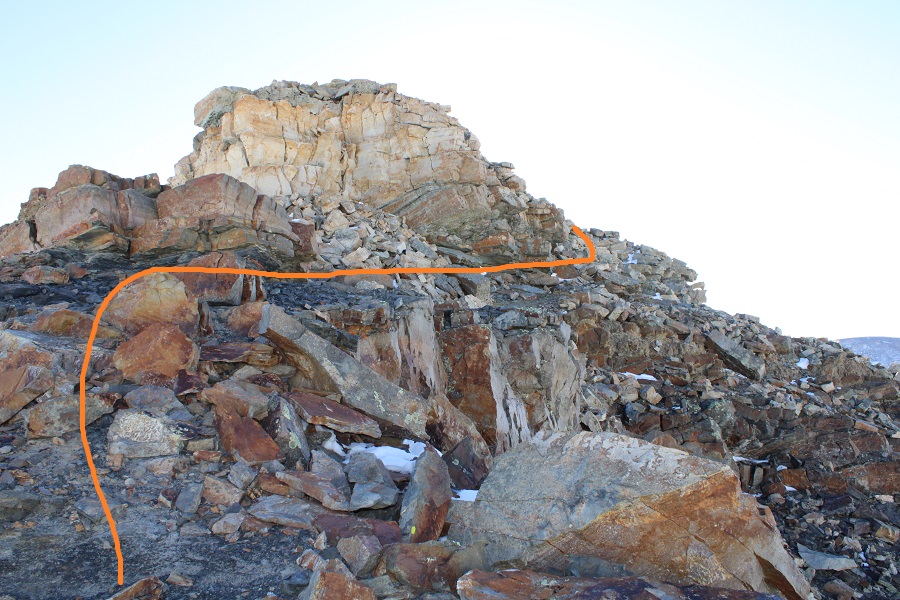
The trickiest part of this ridge comes just before the saddle/lowest point.  This is the only area I went left instead of right. 

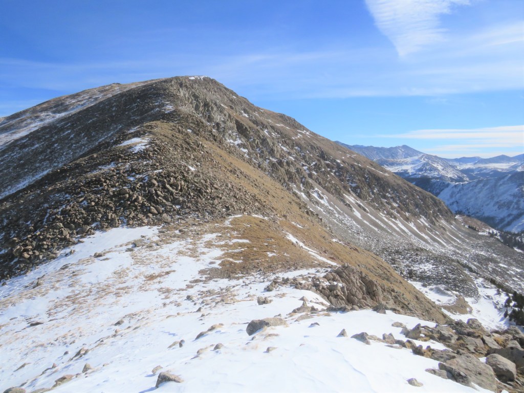
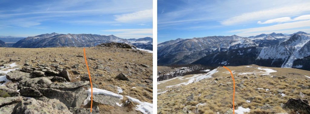
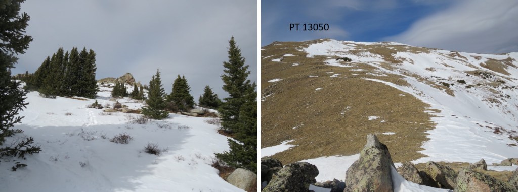
From the saddle it was an easy ridge hike to the summit.  I gained about 500’ here

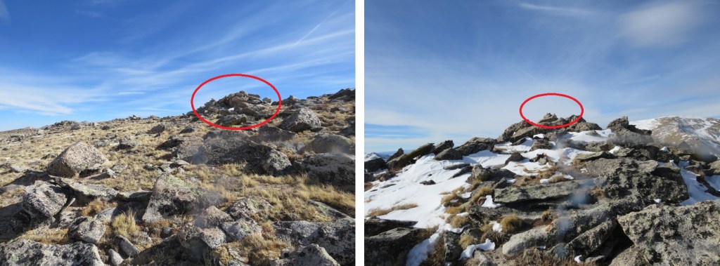
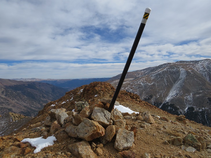
I knew I was at the summit when I found this cairn (it’s difficult to tell where the exact summit is for this peak, so I went with the cairn, but walked all over the summit). 

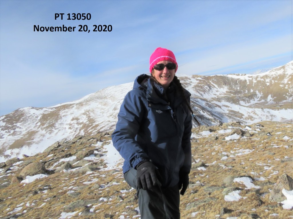
I summited PT 13050 at 11:40am

PT 13050: 

Here’s a look back on the route from Tincup Peak/Emma Burr Mountain

I was making this a loop, eventually making my way back to the 4WD road I’d hiked in on.  So, I continued heading east

I followed the mountainside east, went right around this rock outcropping, and then headed for the trees

Here’s looking back

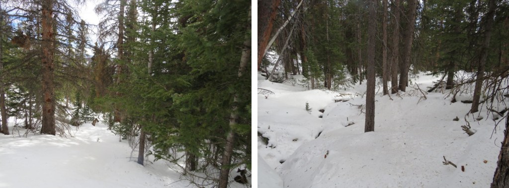
At this point I put on my snowshoes and aimed southeast, heading towards the 4WD road.  Once in the trees I found a drainage and followed that down.  This would not be fun to do in reverse.

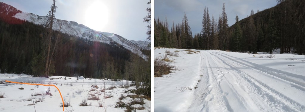
The snow lessened just before making it to the road.  If you were to do this hike in reverse, the spot I exited was just over 2 miles from where I’d parked.

Once o the road, I followed it back to my truck, parked on the west side of St Elmo.

I made it back to my truck at 1:40pm, making this a 15.94 mile hike with 4888’ in elevation gain in 9 hours, 30 minutes.  As a side note, I saw a ‘no parking’ sign on this side of the road this time (it must have been covered in snow last week), so I’d advice you to park before entering St Elmo and hike through town to start this hike.

Fitzpatrick Peak – 13,112

RT Length: 14.65 miles

Elevation Gain: 3169’

I drove through the night and arrived at St Elmo at 4am.  I love driving, especially at this time of year:  once the summer campers are gone I don’t see another vehicle from the time I hit HWY 24 until I make it to my destination (besides the predictable police officers, stationed on the side of the road  in their usual places – It’s gotta be tough for them this time of year, and cold.  Thank you for your service).  The 2WD road in was a bit slick so I took it slow.

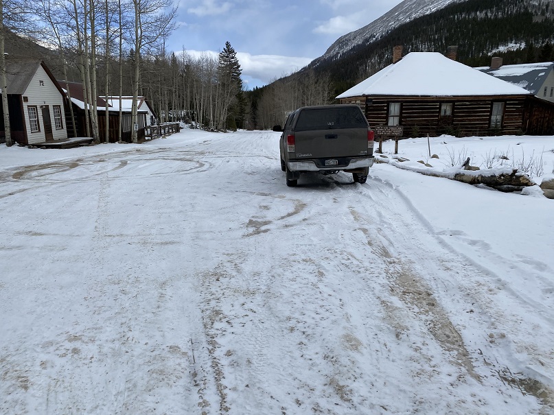
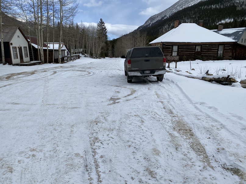
The usual place I like to park (on the east side of town) had vehicles and trailers parked erratically in most of the spaces.  It looked like they’d been parked there for quite a long time, so I drove through town, looking for a place to park closer to where I wanted to start.  I figured I could always turn back if needed and squeeze-in.  There were dozens of ‘no parking’ signs all through town, leading up to 267, but I was able to find a 20 foot space right near the start of the trail that didn’t have a ‘no parking’ sign (there were signs on the opposite side of the road, but not here, so I took pictures and crossed my fingers this was a ‘legal’ place to park). I decided to take my chances and park, mainly because it was cold, and  I wasn’t entirely sure I was hiking for very long this morning (I would most likely be back by 8am at this point, before anyone would question my questionable parking situation). I was having a really hard time motivating myself to hike today.  As I drove to the trailhead the temperature outside plummeted, and was a balmy 7 degrees outside when I arrived.  The forecast said a low of 30. 

I know myself pretty well, so I have a rule that says I at least attempt a hike (except for that one time when the temperature was -36 degrees at the South Mt Elbert trailhead.  I turned around that time… after sitting for 30 minutes at the trailhead waiting for the temperature to increase.  When it didn’t, I was more worried about re-starting my vehicle after turning it off than I was about my own personal safety and left.  Otherwise, I always attempt).  Usually, once I start hiking I don’t want to stop.  Hiking always makes me feel better, and I never regret a hike, even if I need to turn back.  Also, the further I go the less likely I am to turn back.  So, I went through the act of putting on my essential cold weather gear, telling myself I’d work at it and only turn back if I was worried about frostbite (etc).  Don’t we all love a balaclava?

I was on the trail (in all my winter gear) at 4:30am.  The trail starts out following Trail/Road 267 west

This road goes all the way to Tincup Pass, and by the looks of it, a 4WD vehicle had driven the entire way recently.  High five to this individual, as they have some serious chutzpah. I was glad I’d parked below however, as I wasn’t sure how my truck would have done on the ice.

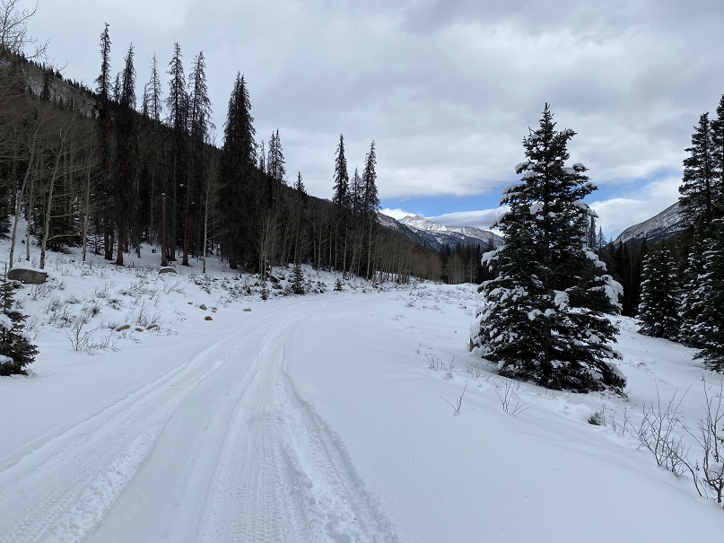
This trail parallels North Fork Chalk Creek.  As I was hiking my feet were frozen.  My fingers were frozen.  I couldn’t feel my nose.  I kept telling myself I should turn back.  But I also kept telling myself I wanted to get a good hike in today, as the alternative was to drive home and hit the treadmill:  I’d just make sure I got in at least 5 miles out and back.  Ok, 10 if possible? And how could I get as much elevation gain as possible while avoiding those torrential winds?  If mileage/elevation isn’t possible while hiking I hit the treadmill when I get home, but I’d much rather make my miles/elevation in the mountains.   It was supposed to be very windy above treeline today, but if I kept moving I could keep my toes ‘warm’.  They had to warm up eventually, right?  So, I kept going.  I jumped a few times in the dark at the sound of running water (water running over trailside waterfalls).  I know that sounds weird, but it was always unexpected, specially today as otherwise it was very quite this morning.

I followed the road for 5.15 miles, staying right here to stay on the road. As I hiked I saw quite a few moose tracks.  It looked like a mama and baby were in the area, so I was on the lookout.  I saw tire tracks, but no human footprints.

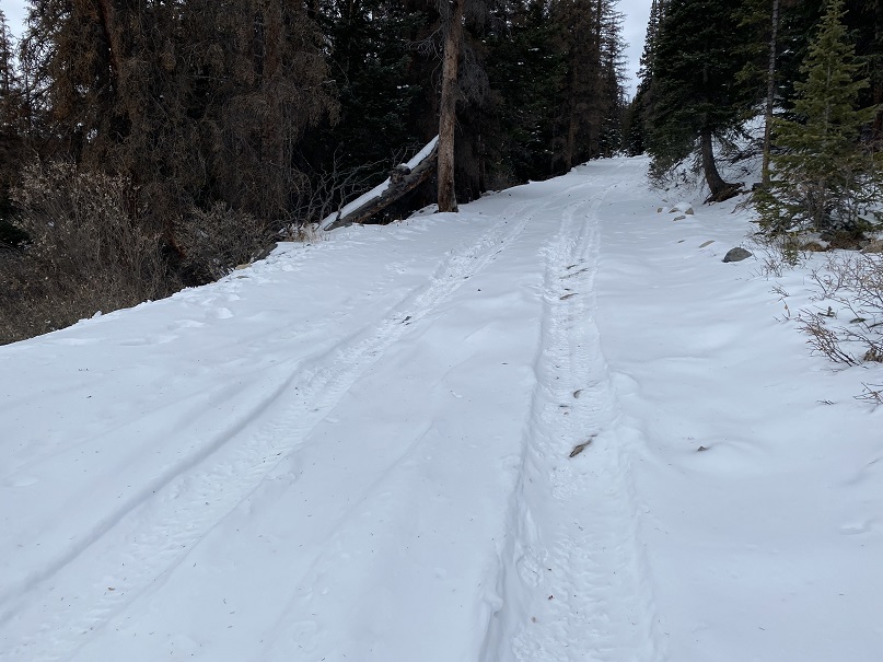
From here the incline started as I followed the road up the mountainside

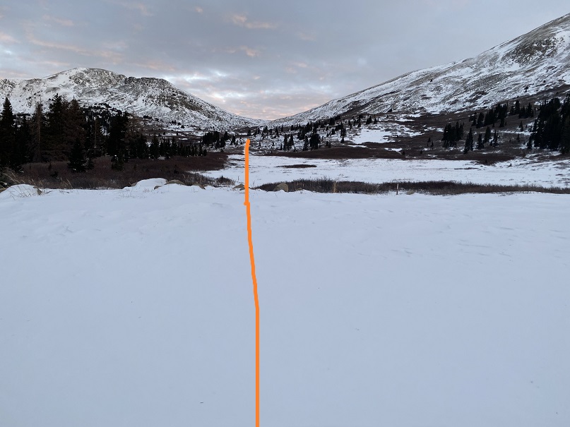
After hiking for 5.15 miles I was in the basin.  My spirits had lifted, and I was now excited to be out hiking today.   The winds had put drifts onto the 4WD road, so I decided to put on my snowshoes and head towards Tincup pass on foot. 

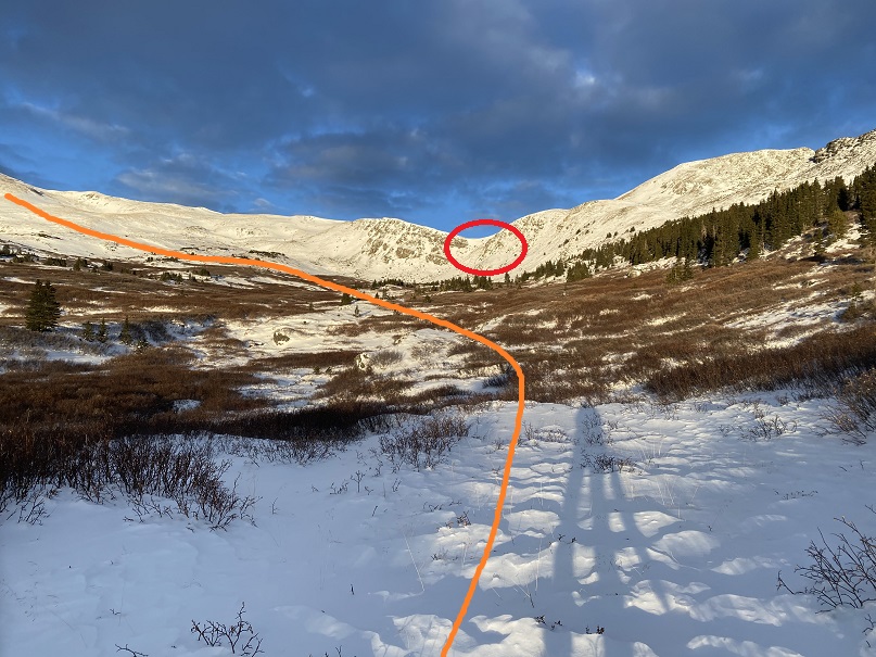
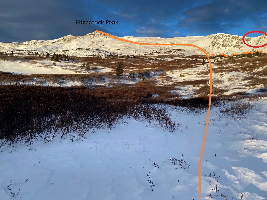
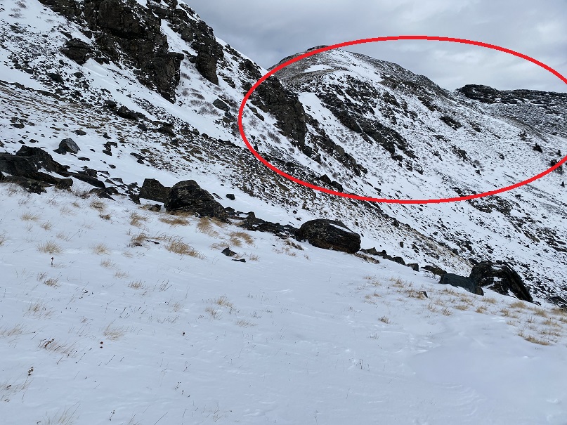
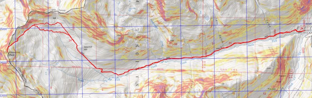
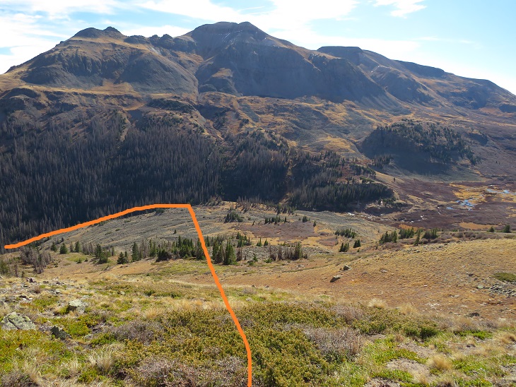
As I hiked I changed today’s hiking plans.  Originally I’d planned to hike Emma Burr, but I could see by looking at the clouds the winds were intense above treeline, and the snow was coming in much earlier than predicted (4pm was when they were slated to start, but by the looks of it, it would be snowing before noon).  I had several options today, and chose instead to summit Fitzpatrick Peak.  I believe this is traditionally done by gaining Tincup pass and following the ridge (thus getting in a 12er as well), but my visual of the winds told me my Raynaud’s would balk at a windy and cold ridge hike today.  So, instead I decided to make this a visual hike and hike up the west side of Fitzpatrick Peak, staying below the ridge and thus avoiding the brunt of the wind.  Here’s my overall route.  In red I’ve circled an obvious trail, but it led to a cornice I didn’t feel comfortable attempting today. 

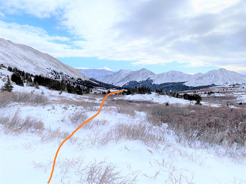
On the way in I went through the willows, and don’t recommend this.  I followed moose tracks, winding in and out as they did to find the best path.  On my way back I stayed higher and found more solid ground (dotted line).  I’d recommend staying high.

This is a very visual, not a technical hike.  Here are some close up pictures (once again, one of the summer routes is circled, and you can see why I chose to stay low, as there’s a cornice at the end of the route, and cliffs above the exit point around the cornice).

I gained the ridge at the last possible point.  Here I encountered fierce winds and sastrugi.  It had been a good idea to stay low for so long.

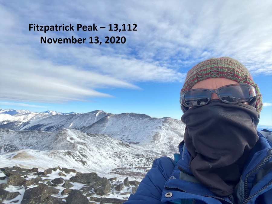
I summited Fitzpatrick Peak at 8:35am.  Note:  I recently bought a stylus (well, 5 for $3, gotta love Amazon) and it’s changed my life!  I no longer need to take off my gloves to take a picture with my cell phone.  This is a major bonus when your camera battery dies due to cold, but your phone still works.  The only downside?  It’s still selfies at summits (trust me, I hate these more than you do). 

Fitzpatrick Peak: 

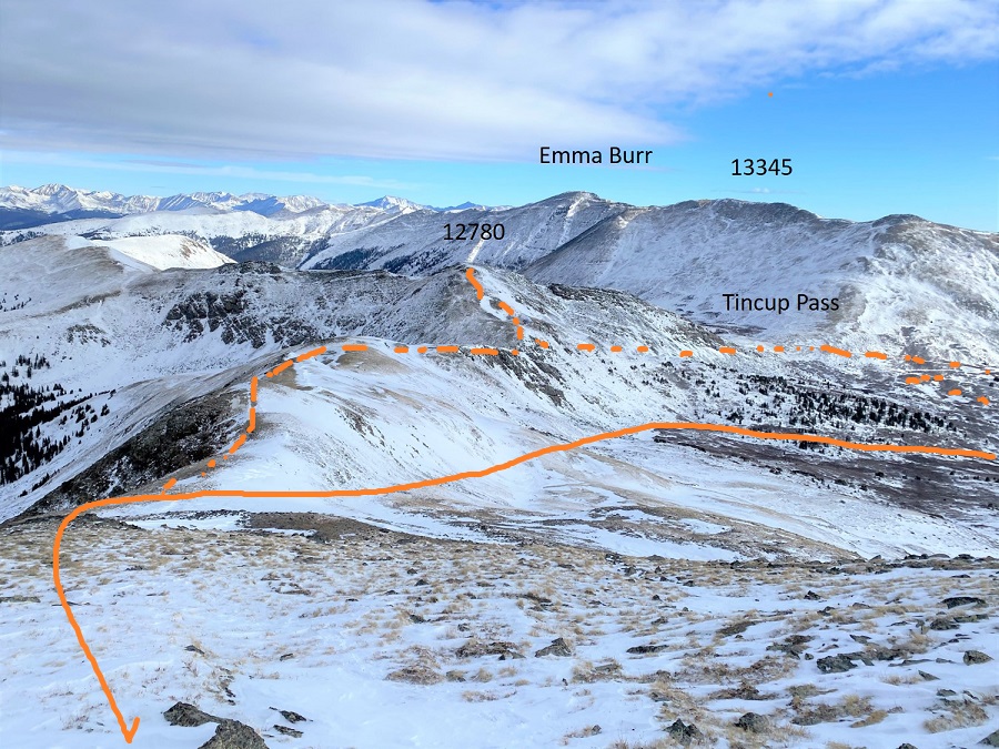
Time to head back.  The winds were seriously intense, and, even though I missed out on a 12er and several other 13ers, I still believed I’d made a good choice in the peak I hiked today and my approach in doing so.  Here’s a look at the way back, with a look at Emma Burr, as well as the 12er, Tincup Pass, and alternate routes/4WD roads.  My route is solid orange, alternates are dotted.

The winds were intense and I could see the snow coming in (early), so I didn’t stay long on the summit.  Here’s the route down, one of the alternate routes I’d avoided circled in red.  I stayed higher this time, mostly because I really wanted a picture of me at Tincup Pass with all this snow, but as I hiked on the weather quickly deteriorated.  The clouds came in faster, and it started to snow.  So I decided to just aim for the trail I’d hiked in on and get out before the storm hit.


As I was hiking out I saw two moose!  They weren’t right along the trail, but I was confident I’d been following their tracts earlier.

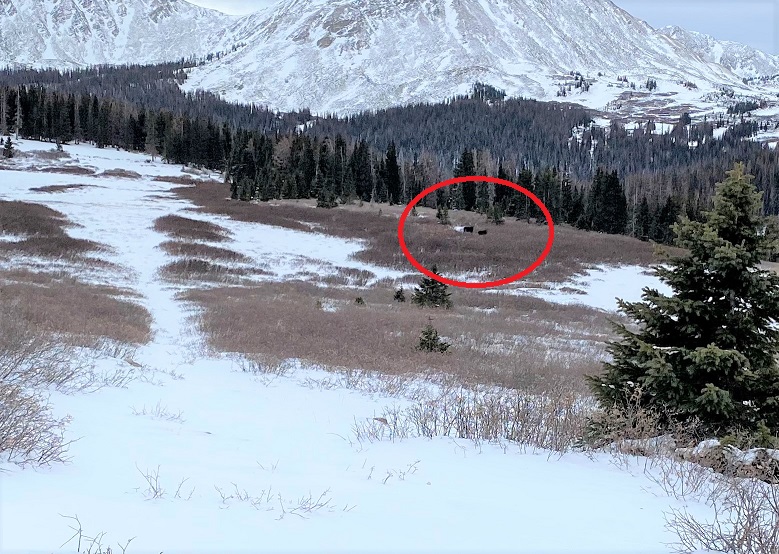
They were both males (not a mama and baby), one that looked mature, and the other probably a 2-3 year old (his antlers were lacking, but present) and while they didn’t run away (which is usually what happens when I see moose) they did stare at me, and turn their bodies as I walked by.  To avoid conflict I didn’t make eye contact, and tried to be as respectable as possible.  These photos are terrible because I wasn’t aiming/zooming in, etc., but snapping as I hiked past…. and they were on my cell phone (my good camera had a frozen battery and wasn’t functional).  It’s been quite a banner year for me for moose sightings.  I think I’m up to 7 or 8, when it’s usually around 3 or 4.   

I think it’s interesting the males seems to join together.  I’ve never seen two females together (unless mother and baby).  I’ve seen males and females alone, a male and female together, and up to 3 males together at a time, but never two females.

I was now back at the 4WD road.  Here I took off my snowshoes, as they were no longer needed (they were a bit overkill towards the summit, but it hadn’t been worth it to take them off for such a short trek)

It was now snowing.  Not a lot, but enough to tell me to book it back to the truck.  The weather had certainly come in much quicker today than anticipated.  I was pleased with my choice of Fitzpatrick Peak as an alternate today:  the weather on Emma Burr looked menacing at this point.  I followed the 4WD road back

This time, appreciating the streams whose noise had startled me in the dark, and doubly appreciating the lack of snowmobiles:  Last time I was here they zoomed by every 5 minutes or so, and it was obvious they were on a tour and didn’t know how to navigate their vehicles:  I did a lot of jumping out of the way.  Today it was a nice, peaceful hike, and I didn’t see another person all day. 

I made it back to my truck at 11:30am, making this a 14.65 mile hike with 3169’ of elevation gain in 7 hours. 

It was now 36 degrees, and while my hike hadn’t turned out as I’d intended (Emma Burr was my initial goal) I was so glad I’d decided to get out of my truck in 7 degree weather and hike!  Added bonus:  Apparently I’d parked legally:  no ticket on my dashboard and my truck was still there when I got back, so I’m assuming it was a legal place to park (with so many ‘illegal’ places, a nice ‘you CAN park here’ sign would be nice…)

Huron Peak – 14,003, Browns Peak – 13,523, PT 13462, Middle Mountain – 13,060, & Cross Mountain – 12,889

RT Length:  13.83 Miles

Elevation Gain:  4811’

There was a storm predicted for this weekend, so I set out to try to get this loop in before the snow hit.  I had no trouble driving the 2WD dirt road all the way to Winfield, even though it was icy in spots.  

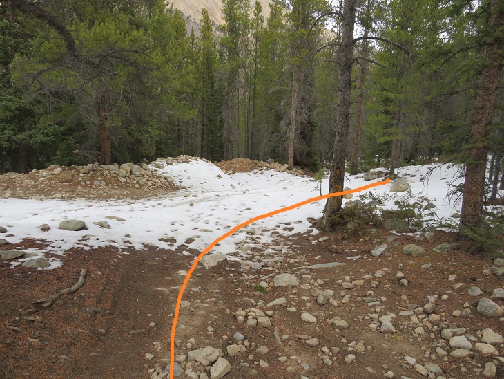
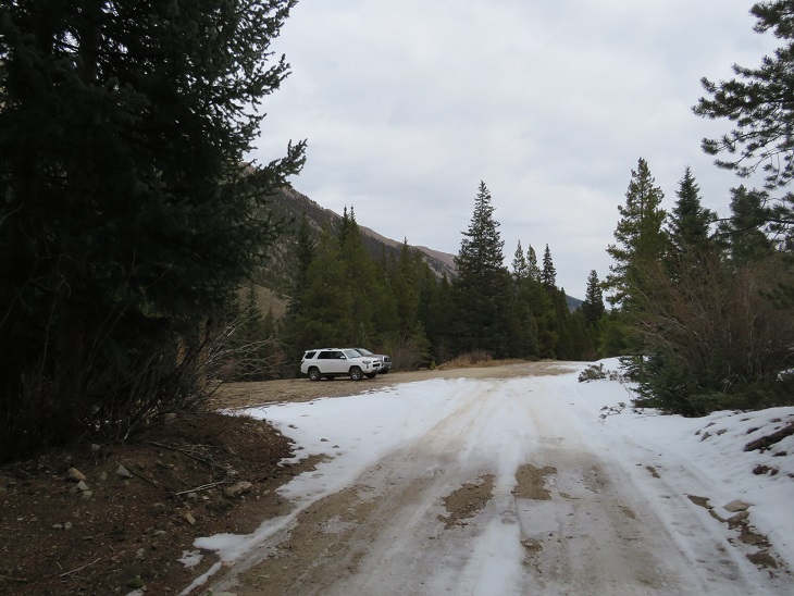
Once I made it to the 4WD road it became icy.  I decided to park in the dispersed camping area and hike along the road.   There are several dispersed camping areas here, and plenty of parking.

I put on my microspikes at the truck and didn’t take them off the entire hike (although they were overkill for over half of the hike).  I started out following the 4WD road southwest.  It quickly became icy and I was glad for the spikes.  I could also hear owls on either side of the trail.  They were hooting, calling to each other back and forth.  We’ve recently had an owl take up residence in our backyard and the calls were similar, so I’m guessing they were great horned owls.  I also heard a chirping in-between calls.  I’m not sure what animal the chirping belonged to, but it happened every time an owl’s call ended, and before the next one began.  In any event, the sounds kept me occupied as I hiked in the dark.

I followed the 4WD road for 2 miles to the upper trailhead (Lake Ann).  Here the trail splits.  I took the well marked ‘Huron Trail’ that went left up the mountainside.

The Huron Trail is a well marked and easy to follow class 1 trail that takes you all the way to Huron Peak.  This is also a well documented trail, so I’ll just add a few photos.

Once at the saddle the trail became increasingly icy, and I was glad to be wearing my microspikes.  Also, one of them broke (I continued to wear it anyway.  The other one broke as well later on, but microspikes are easily fixable so I wasn’t too worried). 

I summited Huron Peak at 7:45am

Huron Peak:

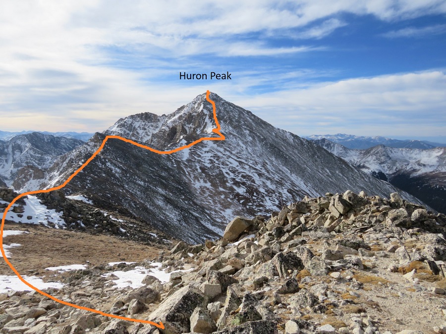
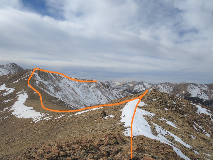
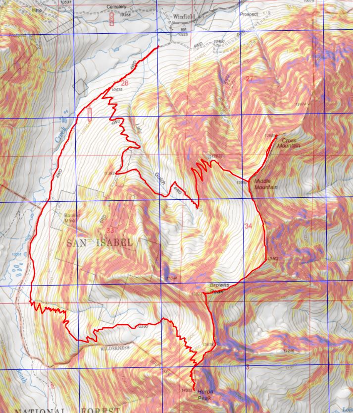
From the summit I had a great view of all the other peaks I intended to hike on this loop.  Here’s the overall route, which consists of a nice ridge hike

I turned around and headed back to the Browns/Huron saddle, and then over to Browns Peak.  I summited the point here on my way over to Browns, but that’s unnecessary, as it’s not ranked and just adds elevation (the elevation part was why I summited the point)

I summited Browns Peak at 9:10am.  Browns Peak is unranked.

Browns Peak:

Here’s a look back on the route to Browns from Huron

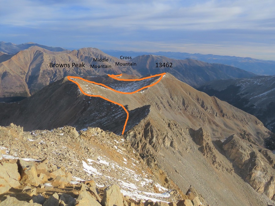
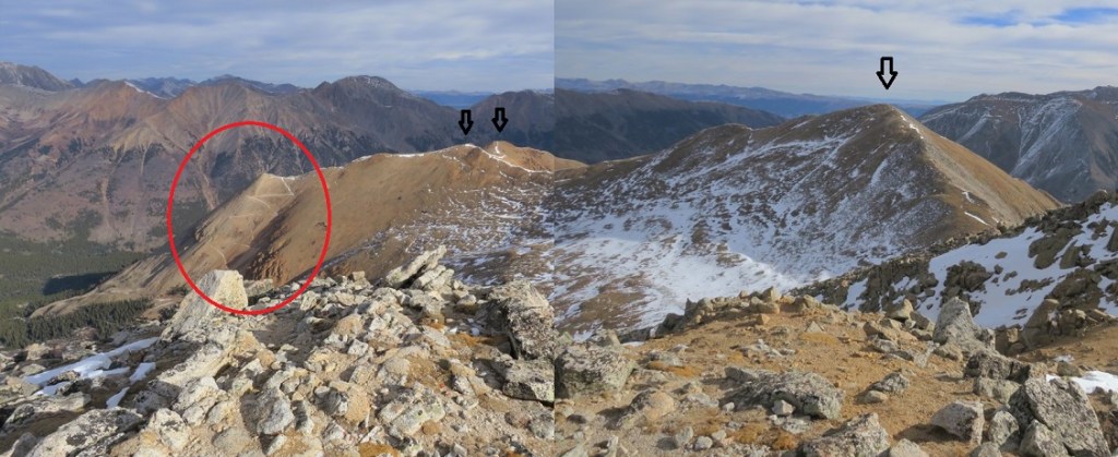
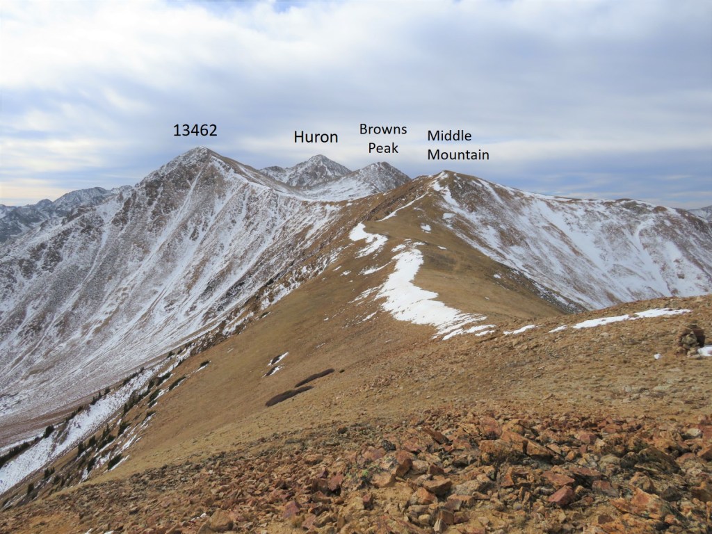
From the summit of Browns I could see my next 3 summits, as well as the trail I intended to take back down

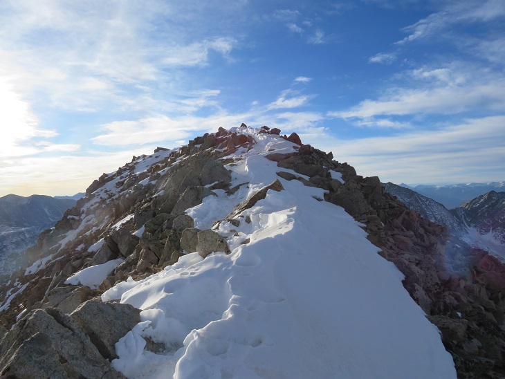
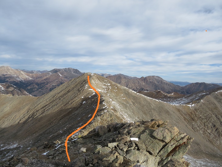
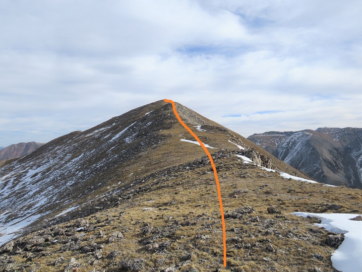
It was a simple ridge hike to the saddle and then back up to PT 13462

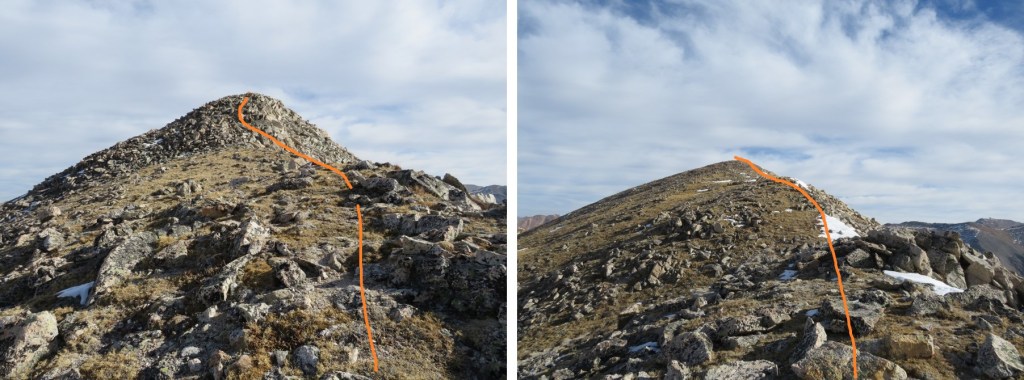
There was a small false summit before the actual summit

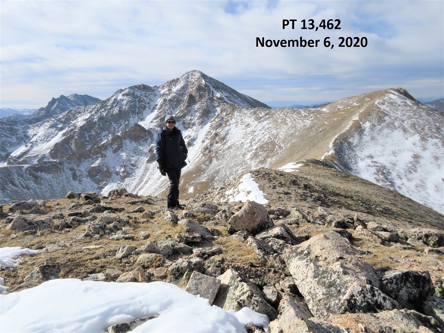
I summited PT 13462 at 9:40am

PT 13462: 

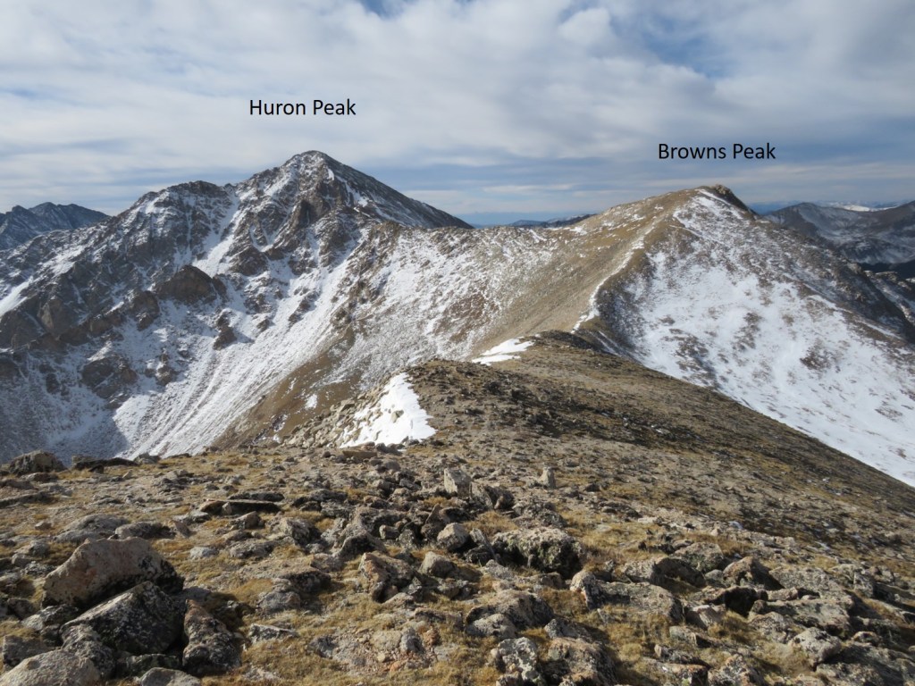
Here’s looking back at Huron Peak and Browns Peak

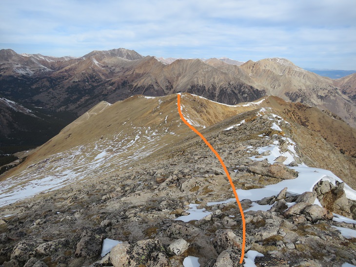
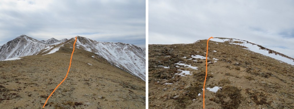
The hike over to Middle Mountain B was also a simple ridge hike.  Here’s the route

I summited Middle Mountain at 10:10am (also unranked)

Middle Mountain: 

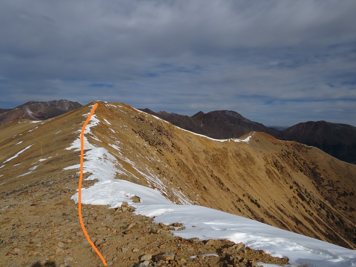
Here’s looking back on the route so far

It was still early in the day so I decided to head over to Cross Mountain.  This is another unranked peak, but it’s named, so I didn’t want to leave it out on today’s hike.  It was a quick and easy hike northeast over to Cross Mountain.

I summited Cross Mountain at 10:35am

Cross Mountain:  

Here’s a look back at the other peaks I summited this morning

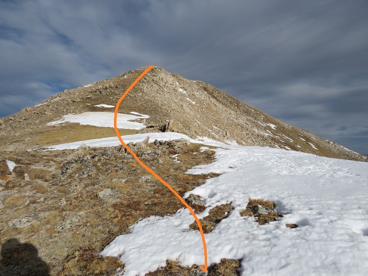
I was making this a loop, which meant I needed to re-summit Middle Mountain, turn right and head northwest down the ridge to the 4WD road.  Here’s an overview of the route

First, I made my way back to Middle Mountain

Once I’d re-summited Middle Mountain I turned right and headed northwest down the ridge, aiming for the 4WD road

Then I followed the road back to my truck.  Here’s an overview:

A word of caution here:  the 4WD road isn’t truly a road for most of the way up the side of this mountain.  It looks to be an old mining road that hasn’t been used in many years, and has experienced rockslides and avalanches, turning the road into more of a trail down the mountain and into the gulch.  In other words, if you have a 4WD vehicle, or even a motorcycle, don’t plan on driving it up this road.  Evidence:

Once down in Lulu Gulch the 4WD road picks up again, and is easy to follow. 

Here’s a look at the hike down from the ridge

The 4WD road was indeed easy to follow, but it seemed to go on and on.  And on.  And on.  I was very happy with my choice to summit Huron first today, as this was a very long slog back to the main 4WD road and I would have been terribly bored following this road as it switchbacked (needlessly?) down the mountainside.  It kept going, and going, and going.  I seriously wanted to just cut the switchbacks and make it a straight line (but didn’t)

I was thrilled when I reached the main road

Here’s looking back at the turnoff (this is what you see when hiking in, you can go straight to the Huron Trail or left to follow the mining road and summit Middle Mountain first)

I followed the icy 4WD road back to my truck, thankful for my microspikes

I made it back to my truck at 12:15pm, making this a 13.83 mile loop with 4811’ of elevation gain in 8 hours, 15 minutes.

The Huron Peak Summit Sticker can be bought here

Mt Yale – 14,196 & Mascot Peak – 13,435

RT Length: 10.72 miles

Elevation Gain: 4839’

Note:  I do not recommend doing this hike in reverse. 

Two days before this hike I’d driven down Cottonwood Pass and noticed the route for Mt Yale and Mascot Peak looked virtually free of snow, whereas the other peaks in the area seemed to be holding a lot more snow. 

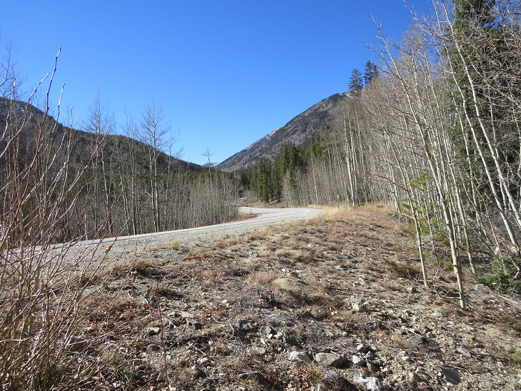
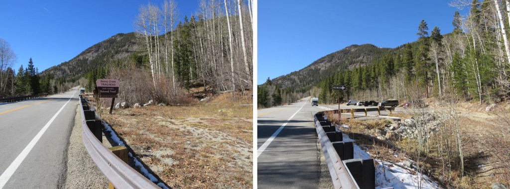
I arrived at the Denny Creek Trailhead and was on the trail at 4:40am.  There was only one other vehicle in the lot, which could hold around 40 cars.  I’m not going to go into great detail about the hike up Mt Yale because it’s very well documented and mostly a class 1 trail.  I’ll just add a few pictures of today’s route. 

There’s a great trailhead sign indicating the start of the trail at the north end of the parking area

There were three frozen creek crossings, all easy to cross on logs (but remember, ice is slippery, so take care)

The trail was well packed to treeline.  No traction was necessary.

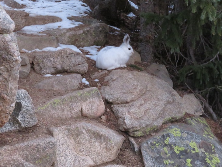
I saw a rabbit directly on the trail.  This rabbit didn’t seem to mind my presence, and refused to move/run away until I was about 2 feet away from it.  It ran and ‘hid’ under a pine tree, but since it’s now white I had no trouble seeing it behind the branches.

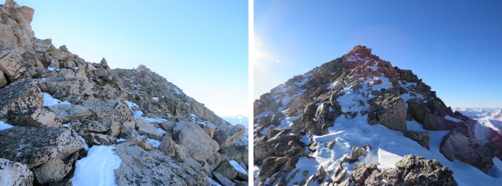
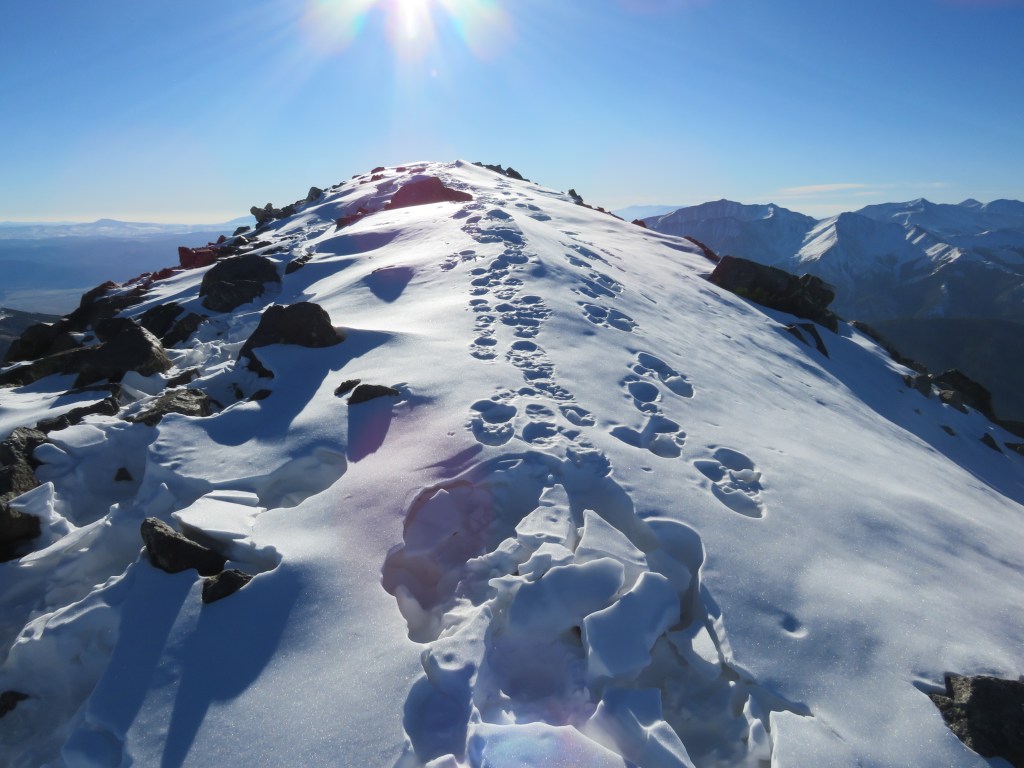
Once at treeline there was still snow, but it was easy to follow the trail to the saddle, and then southeast to the summit of Mt Yale.

The summit of Mt Yale is the highest point at the southeastern part of the ridge.

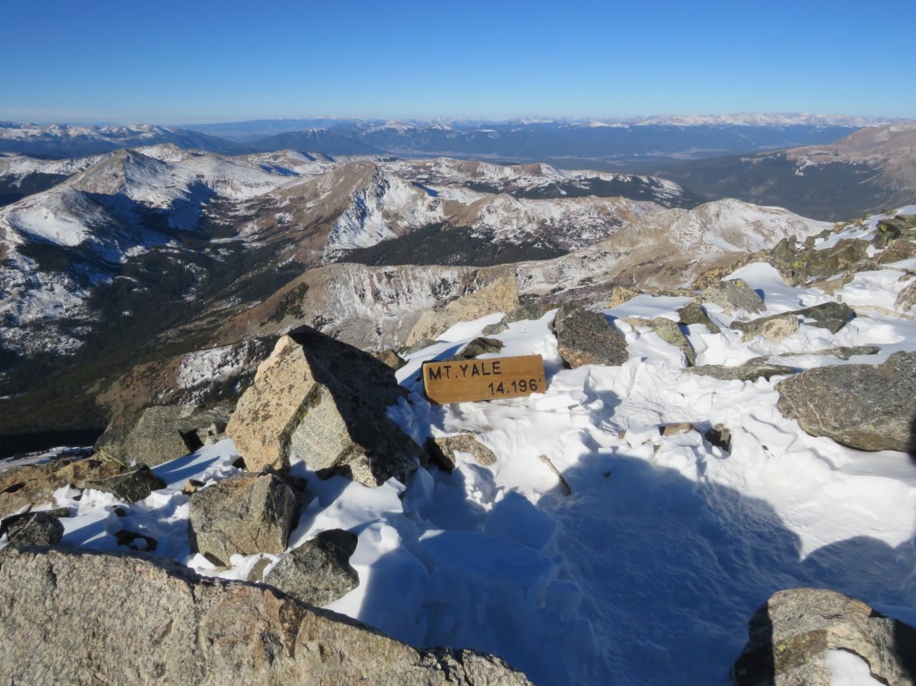
I summited Mt Yale at 8:20am.  There was a sign at the summit (I don’t remember it being there last time I summited, and I’m surprised no one has taken it back down/hidden/destroyed it yet)

Mt Yale: 

Mt Yale was where the tracks in the snow stopped, but Mt Yale wasn’t my primary objective today so I didn’t stay long on the summit.  Instead I continued heading southeast, making my own tracks, postholing at times.

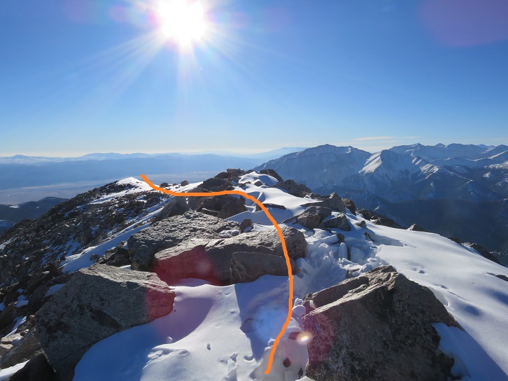
I came to a gully that I was going to descend before heading to the saddle between Mt Yale and Mascot Peak.  There was more snow in this gully than the pictures show, and I was glad I wasn’t doing this in winter.   A ice axe would have been helpful today, and I should have put on my spikes, but instead I balanced myself with my trekking pole on the slippery snow and made cautious decisions about foot placement.  I descended 1122’ to the saddle.

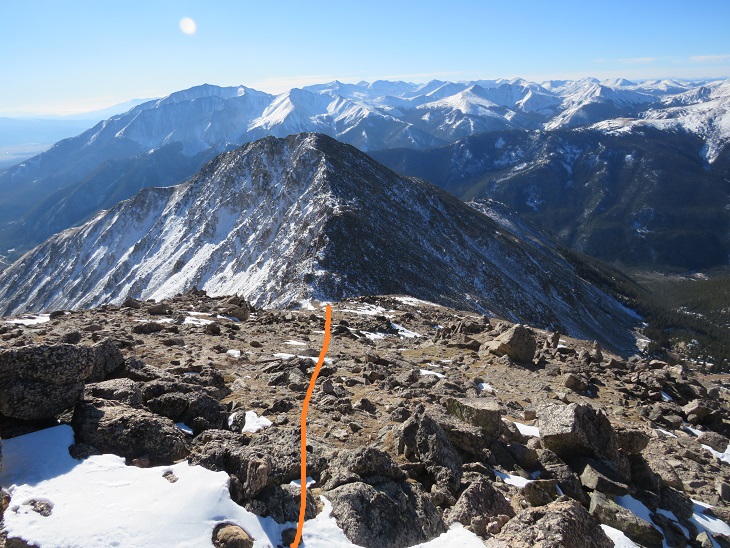
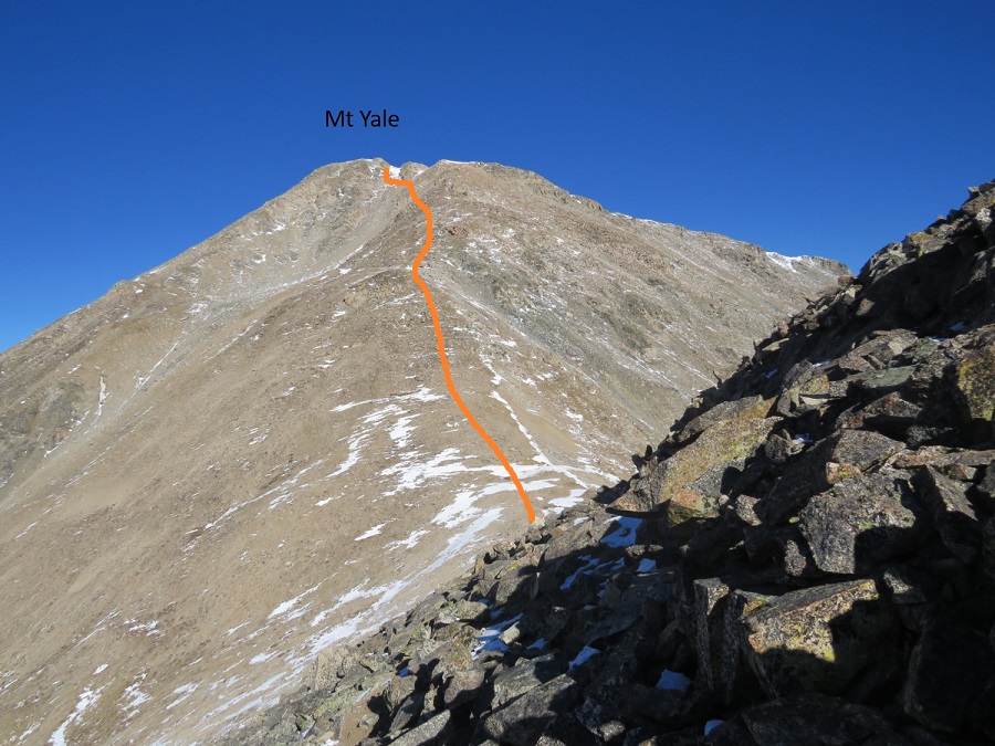
Here’s a look at my route from Mt Yale from the Yale/Mascot saddle.  The snow at the top was more troublesome than it looks.  There also seem to be several ways to descend to the saddle.

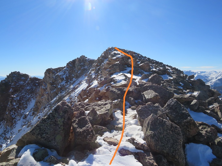
From the saddle the route up to Mascot Peak was simple, straightforward, and not as steep as it looked from Mt Yale.  This was the easiest part of the uphill climbing for the day.  The only difficulty was the wind.

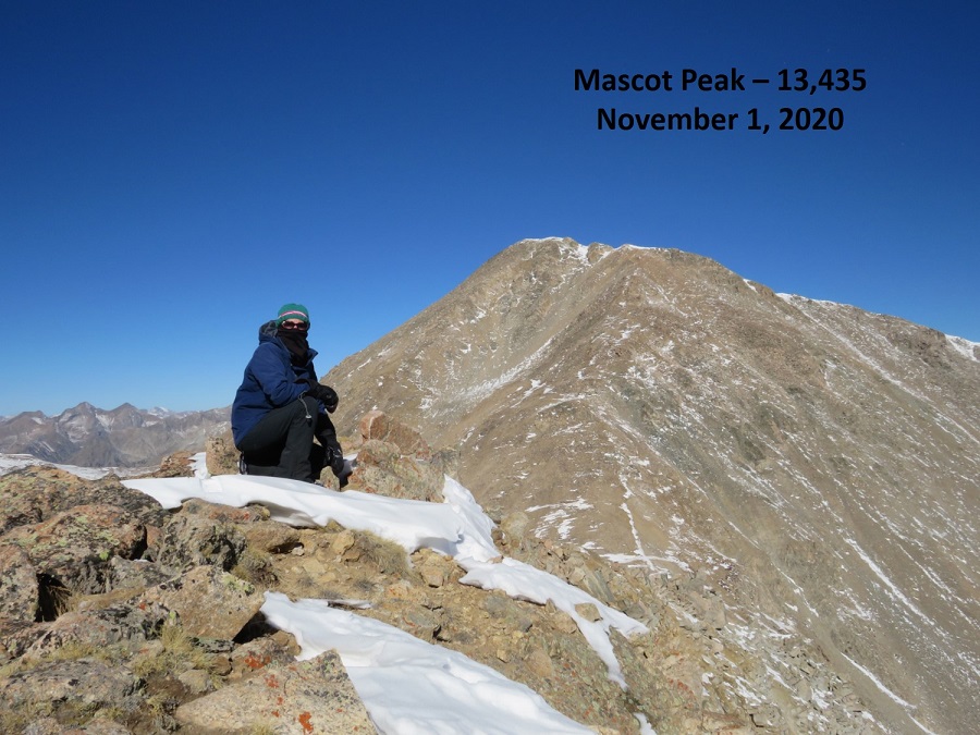
I summited Mascot Peak at 10am

Mascot Peak: 

I was making this a loop today, so after a few pictures I continued southwest down the ridge. I stuck to the top of the ridge.  There’s a great view of Cottonwood Pass until you get to treeline, so as long as you stay on the ridge it’s difficult to get lost.

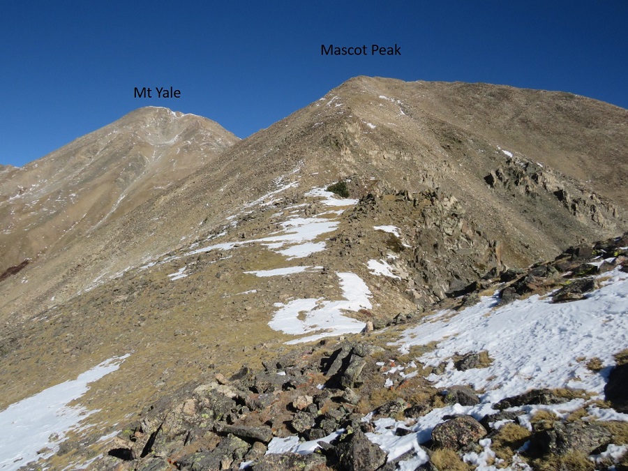
Here’s looking back at Mascot Peak and Mt Yale from the ridge

Just before treeline I left the ridge and headed right (west) down what could loosely be called a gully. 

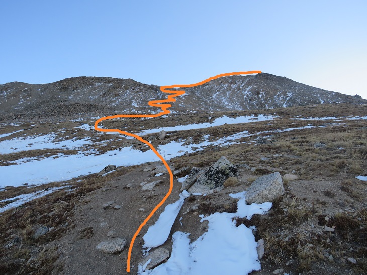
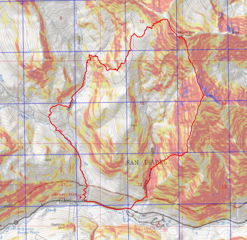
I aimed for an old, solitary tree standing amongst the rocks, and then followed the gully as it descended southwest to Denny Gulch

I kept following the obvious curve as it headed to treeline (no trail here, just keep taking the path of least resistance towards Denny Gulch)

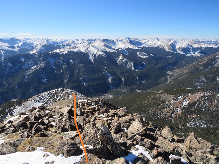
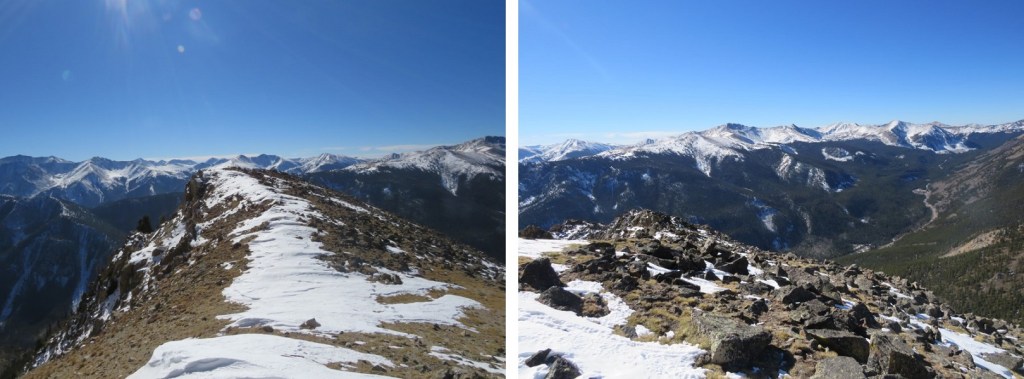
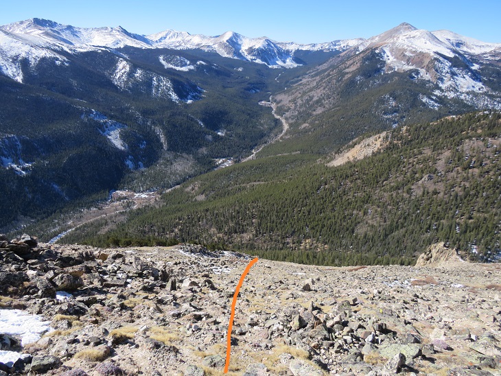
In case you want to do this route in reverse, here’s looking back at the route from before treeline and up to the ridge.  I would not have wanted to upclimb this, and instead recommend taking the class 1 trail up to Mt Yale. This was very steep, and fun to scree surf down. 

Once at treeline I kept aiming for Denny Gulch, following a drainage of sorts southwest

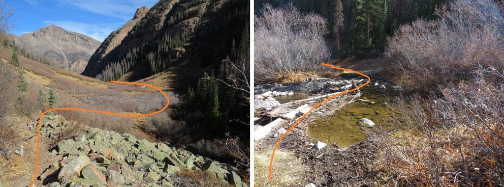
It’s obvious when you reach the gulch, as the mountain starts to back up again.  There was a small stream running, and I decided to follow this stream south.  I kept crossing and recrossing the stream to find the best route.  There were a few animal trails here, and a lot of ducking, climbing, and bushwhacking over fallen trees and through overgrown bushes to get back to the road. 

I could have followed Denny Gulch all the way to the road, but ended up coming across a well-defined game trail that headed northwest.  I took that for a short distance, and it turned into the remnants of an old mining road that looked like it hadn’t been used in half a century or so. 

I followed the old road until it abruptly ended, but I could hear vehicles on the road in the distance, so I aimed southwest towards the road

Once at the road I followed it west back to the trailhead

I made it back to my truck at 12:40pm, making this a 10.72 mile hike with 4839’ of elevation gain in 8 hours.

The Mt Yale Summit Sticker can be bought here

Taylor Peak – 13,435 & Star Peak – 13,527

RT Length: 13.34 Miles

Elevation Gain: 4167’

With the recent snow I wasn’t quite sure what to expect on today’s hike.  I drove down road 742 in the dark until it dead-ended.  The road was icy in the morning, and not too bad on the way out. 

I parked at the trailhead, the only vehicle in the lot (both when I arrived and when I left).

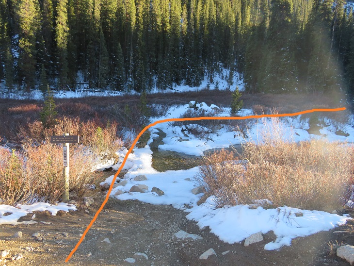
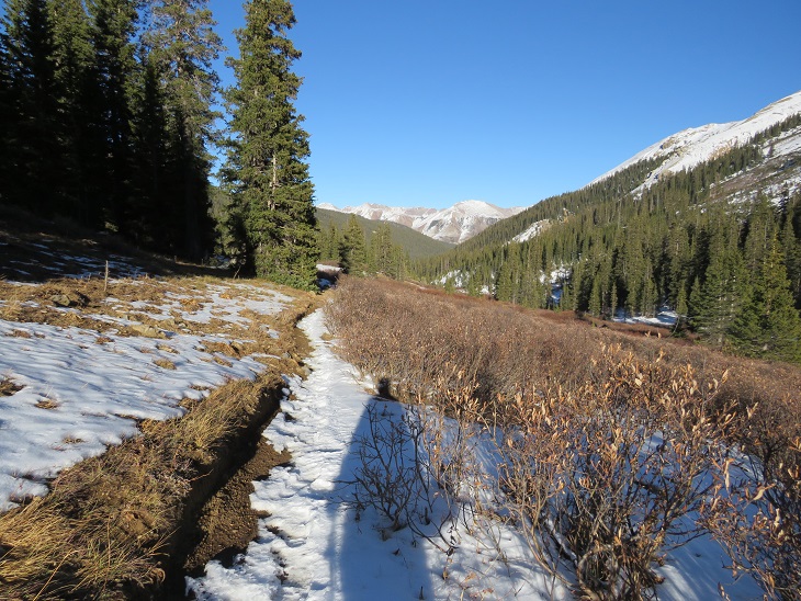
It was 14 degrees outside, so I put on my full winter gear and was on the trail at 6am.  The trail starts at the southwest corner of the roundabout, and immediately crosses a stream. 

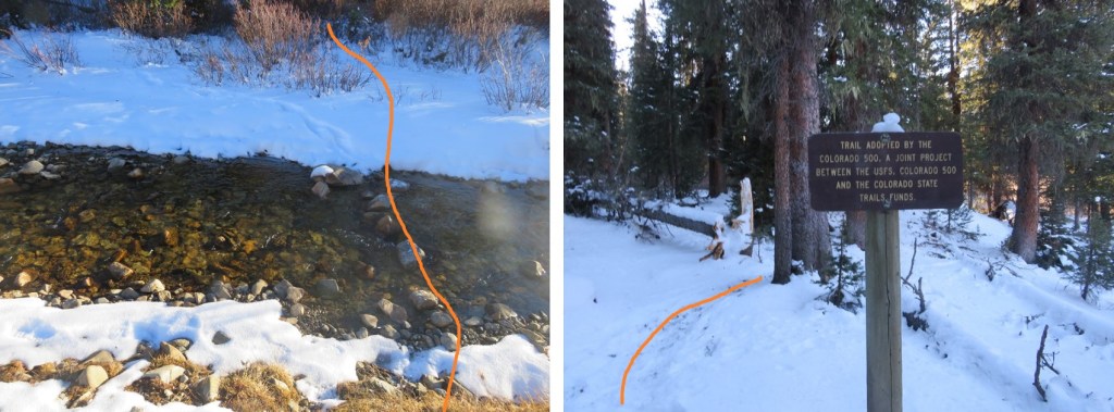
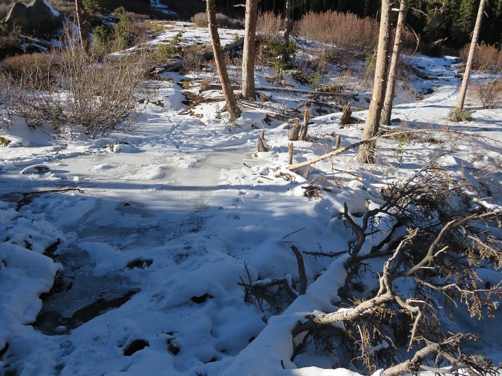
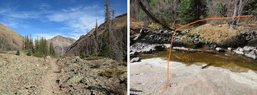
In the morning there was more ice than this photo shows, and the stream was at least a foot deep in areas.  There was no way I was starting this hike off with frozen toes, so crossing the stream here wasn’t an option.  I spent about 15 minutes searching for a better way to cross (in the dark).  I was able to find a good crossing about 15 yards upstream, rock hopped across without any difficulty, and picked up Mt Tilton Trail #582.

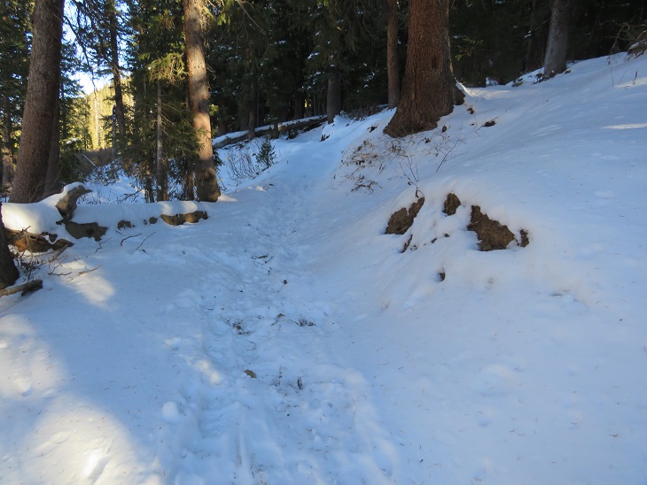
Even with the recent snow the trail was well packed, but not by humans.  It was packed down by hoofprints.  Some very large hoofprints.  There was also fresh moose scat along the trail and a lot of moose tracks, so I kept on the lookout (but never ended up seeing a moose).

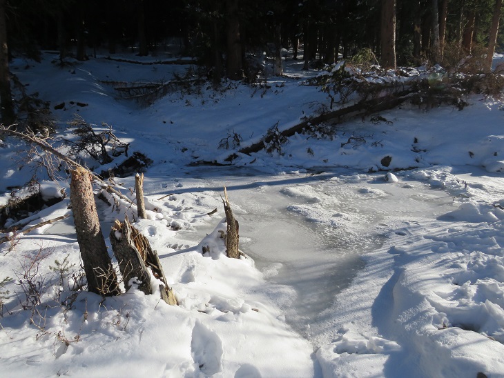
There was one more stream crossing.  This one was almost completely frozen over.  I didn’t really want to cross it, not being sure of how thick the ice was, but I noticed a set of moose tracks on top of the ice and figured if a moose could cross the stream, so could I.  I placed my feet on top of the moose tracks and made my way across.

The trail remained easy to follow, no traction needed.  I passed the remains of a log cabin

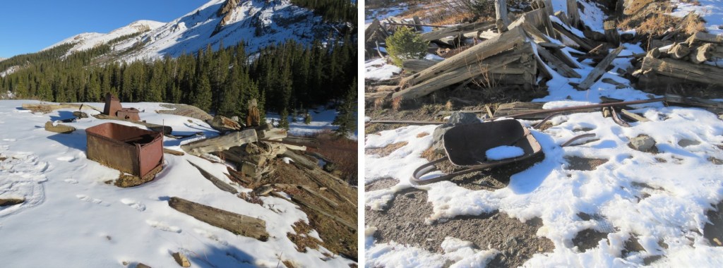
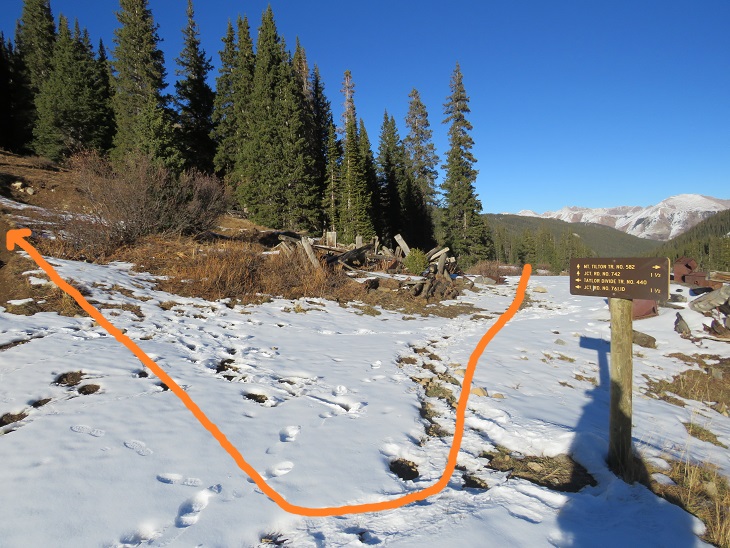
And after hiking for 2.15 miles I came to a second set of log cabin/mining remains and a trail junction.  I turned right and followed Taylor Divide Trail #440

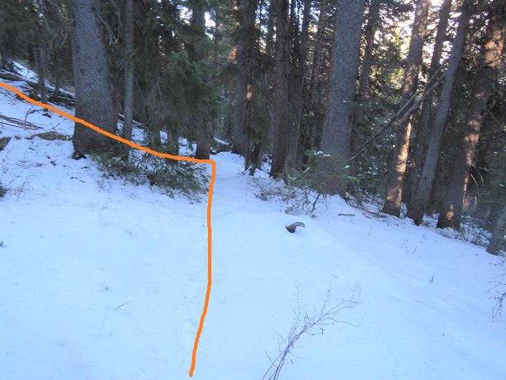
I followed this trail briefly, about one tenth of a mile, until the trail started to head back down, and instead turned left and headed northwest up to treeline.  It was about half a mile to treeline from leaving the trail.

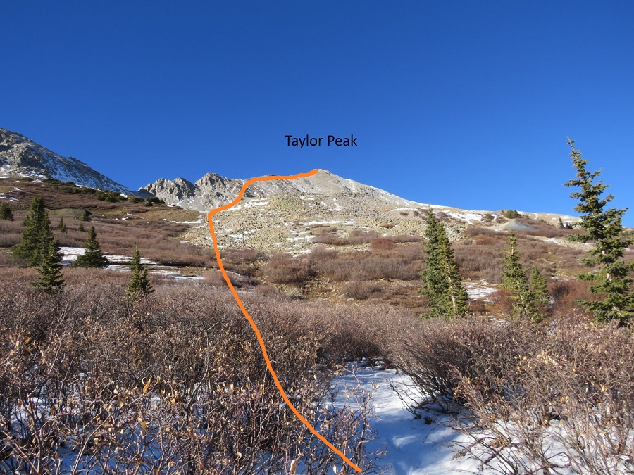
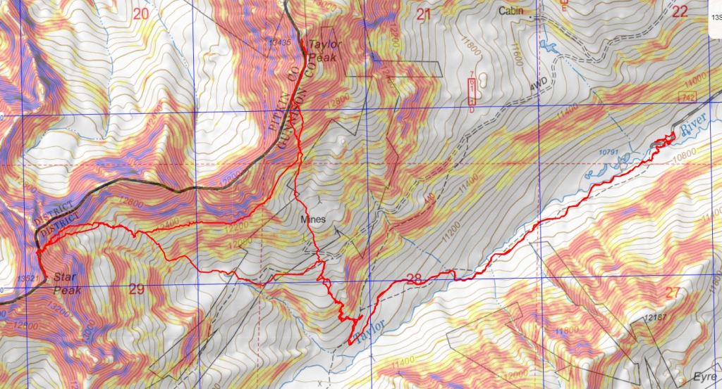
Once at treeline I had a great view of Taylor Peak and how I wanted to summit.  Here’s an overview of my route

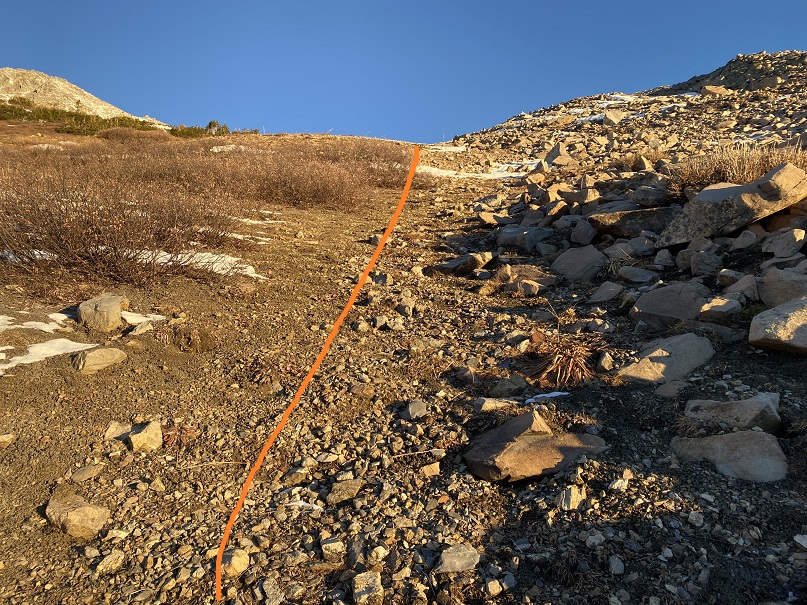
And step by step.  I stayed to the right of the willows to gain the basin

Once in the basin I headed north to gain the ridge

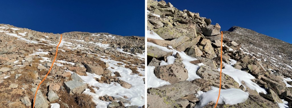
The rocks here were loose, and there was just enough snow to make it slow going, as I had to watch every step.  I was worried I’d roll an ankle or plunge into a hole underneath the snow.

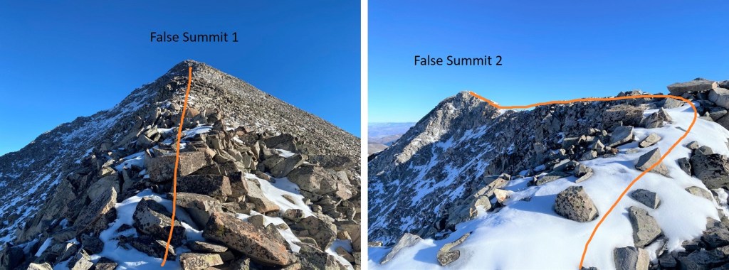
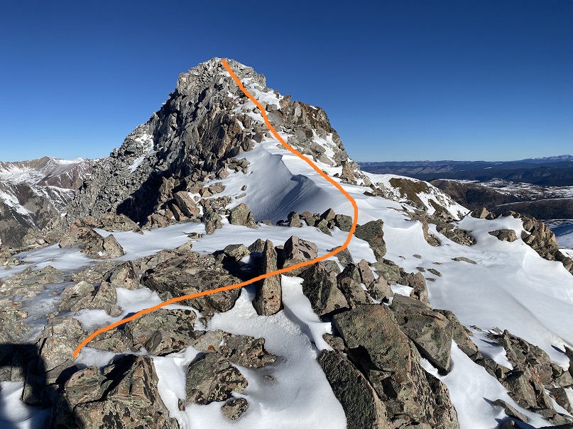
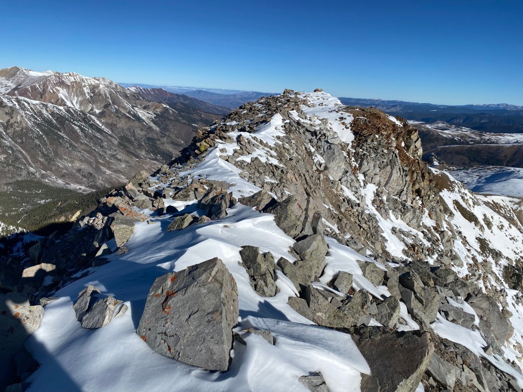
Once on the ridge I followed it north to the summit.  There were two false summits before reaching the actual summit

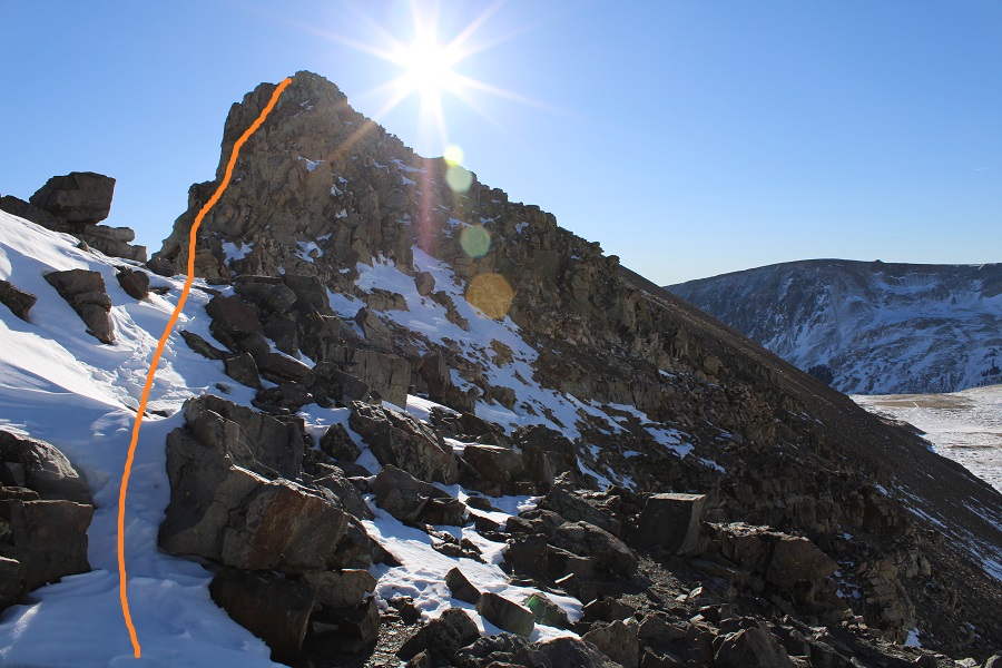
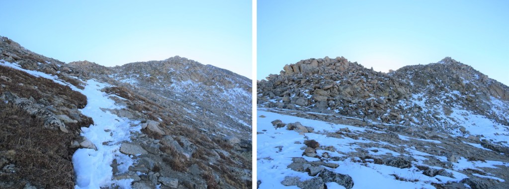
The ridge to the second false summit had some snow to navigate, and what became class 3 climbing due to snow on the route.  Sticking to the ridge worked

Here’s the actual summit of Taylor Peak

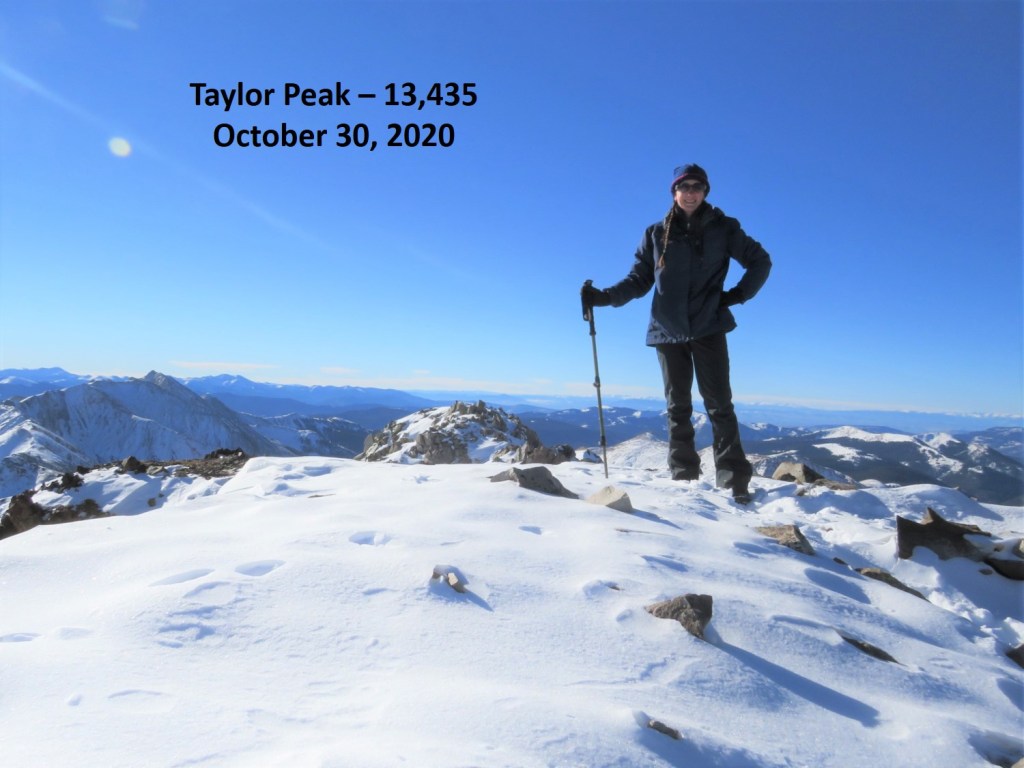
I summited Taylor Peak at 9:40am

Taylor Peak: 

It was a bluebird day, so I decided to head over to Star Peak as well.  This ended up taking a lot more time than I’d anticipated.  There was just enough snow to make me question every step.  The snow as sugary, the rocks rolled, and as it started warming up as the day went on the snow became slippery. 

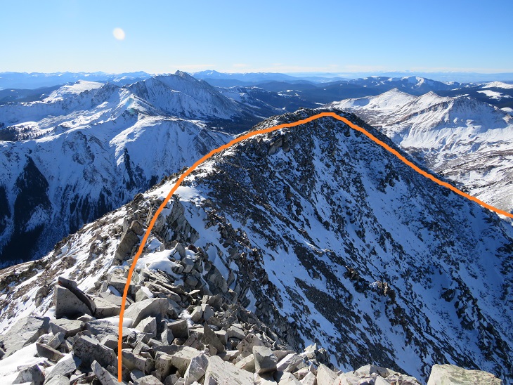
Here’s a look at Star Peak from Taylor Peak

The ridge doesn’t look like it ‘goes’ all the way from Taylor to Star, especially towards the end, so from the summit of Taylor Peak I turned and retraced my steps back to the basin. 

Once in the basin I stayed high and followed the mountainside west

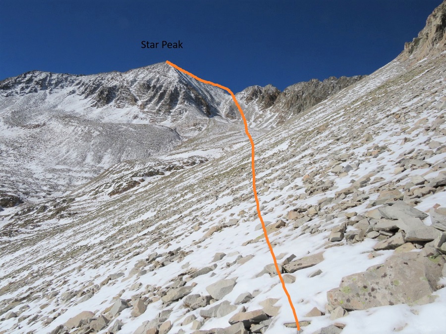
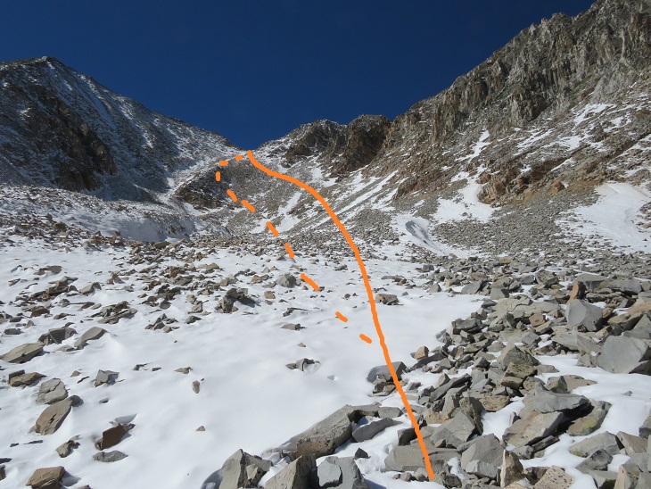
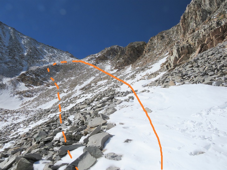
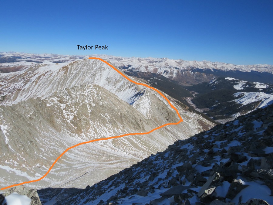
I believe the traditional way to gain the ridge here is to use the gully, but I didn’t like the current conditions, so instead I took a slight ramp to the right of the gully.  The rock here was rubble, loose, and not much fun to traverse.  However, once I’d gained the ridge and looked down the gully I knew I’d made the correct route choice in todays’ conditions.  Here’s my overall route to Star Peak

I took the solid line up, the dotted line down (I’d recommend using the dotted line, as the higher you go here the more loose the rock is)

Once on the ridge I followed it south to the summit.  This is probably class 2 in summer, but in these conditions it felt like class 3.  The ridge goes, but it’s very narrow and the rocks are loose.  The trek here was very slow going as I’d step on snow, only to break off a microwave sized rock or plunge several feet into a hole.  I used my trekking pole to gauge every step

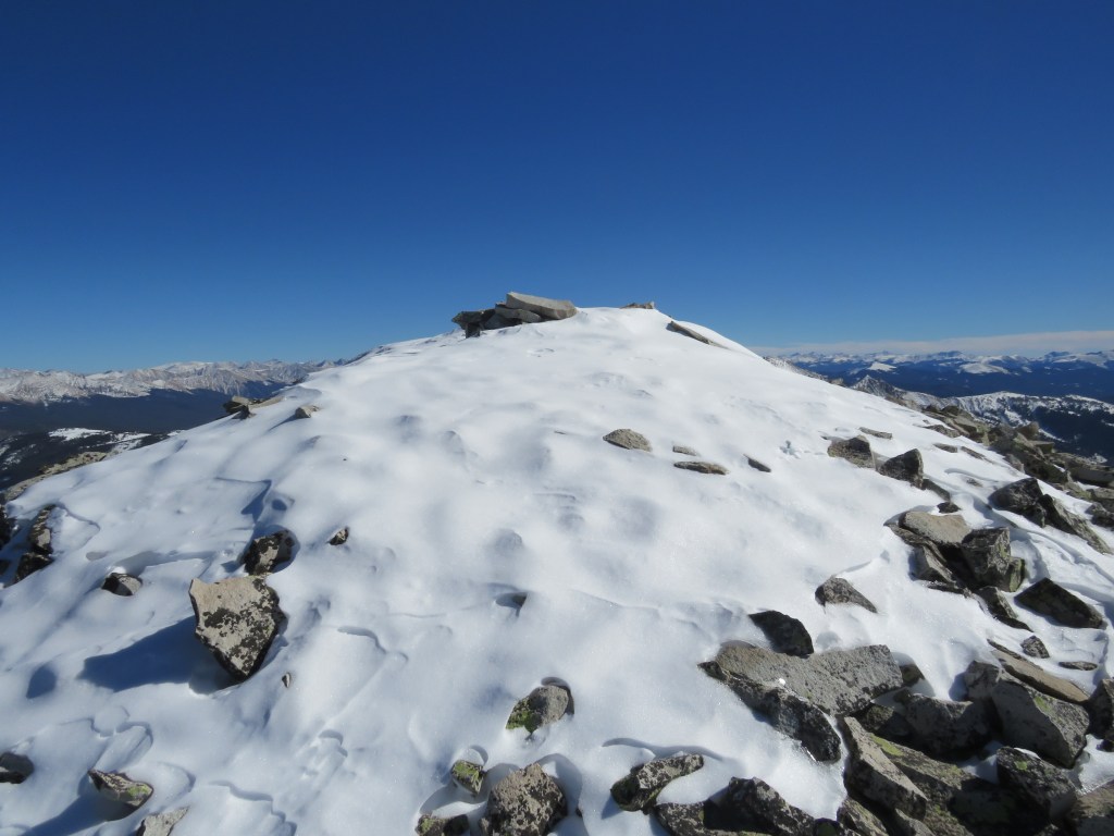
The summit was topped with snow

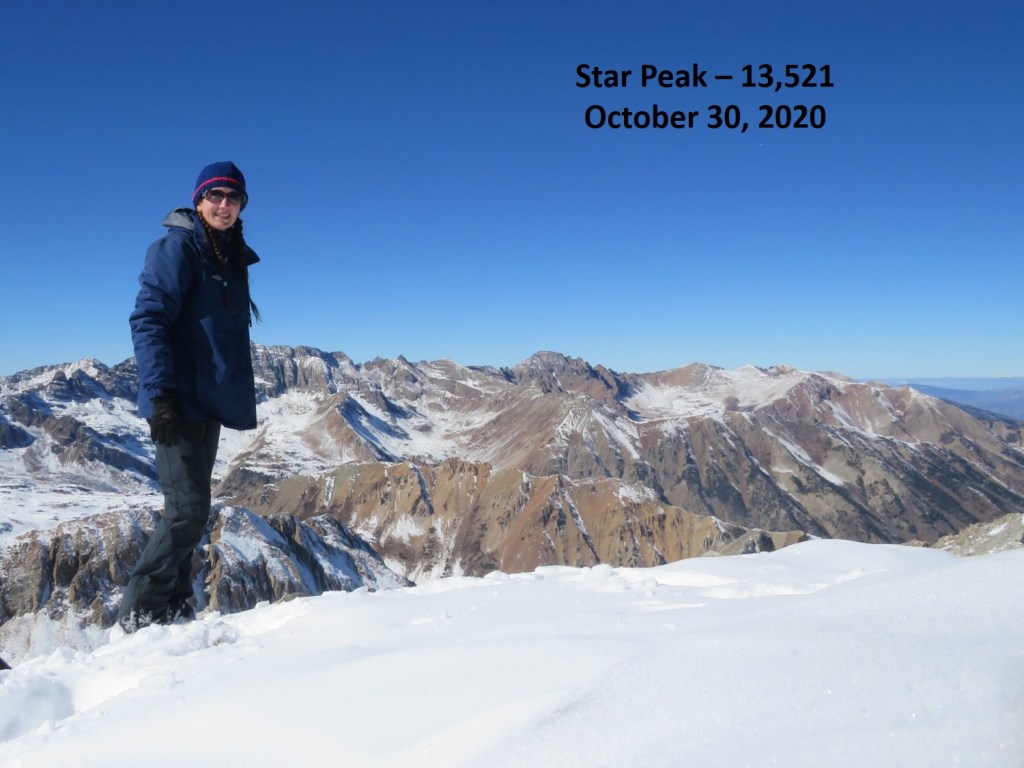
I summited Star Peak at 1:50pm. 

Star Peak: 

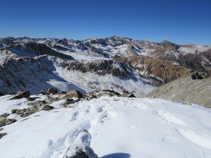
It was a perfect, bluebird day, yet it had taken me quite a while to reach this summit.  I sat for a bit to enjoy the view.

Here’s a look at the route from Taylor Peak to the ridge of Star

I headed back down the ridge

And down into the basin. 

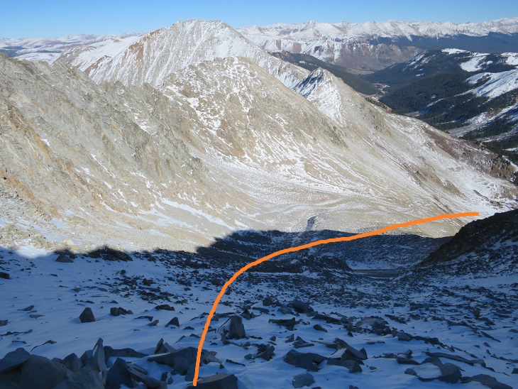
Once in the basin I aimed for the drainage

Here’s looking back on my route down from the ridge (dotted line) and the traverse from Taylor (solid line)

Once in the drainage I picked up a game trail that led me back to where I’d emerged from treeline.

From here I followed the prints I’d made in the snow this morning south, back to the Taylor Divide Trail

And then back down the basin, over the frozen creek with the moose tracks

Following the well defined trail and crossing the stream that led to the parking area.

I made it back to my truck at 5pm, making this a 13.34 mile hike with 4167’ of elevation gain in 11 hours.
Quarter Peak – 13,674

RT Length:  10.3 miles

Elevation Gain: 4227’

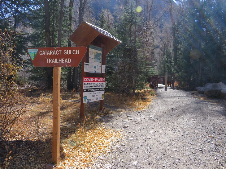
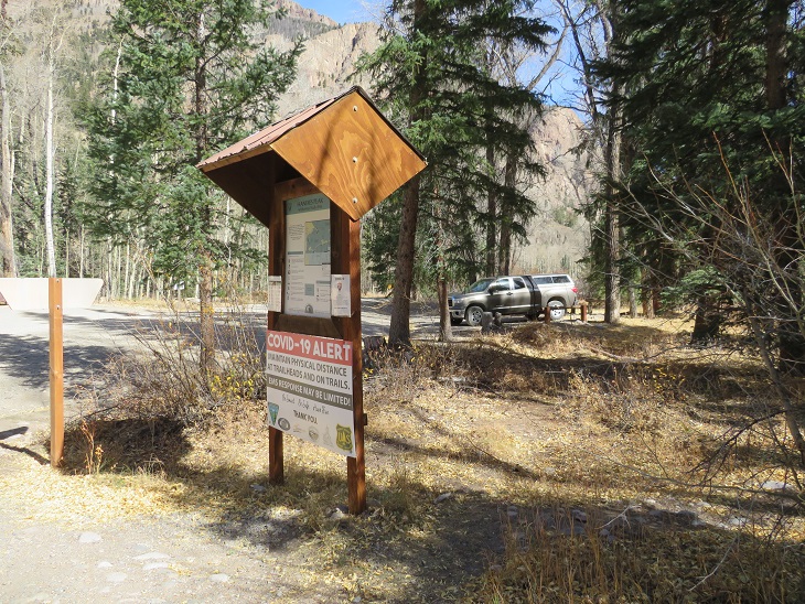
The weather has been outstanding, so I decided to get in one last bicentennial for the year.  I woke up at midnight, worked for a bit, and then drove to Cataract Gulch Trailhead.  This trailhead has a bathroom (just an FYI).   I was on the trail at 6am.

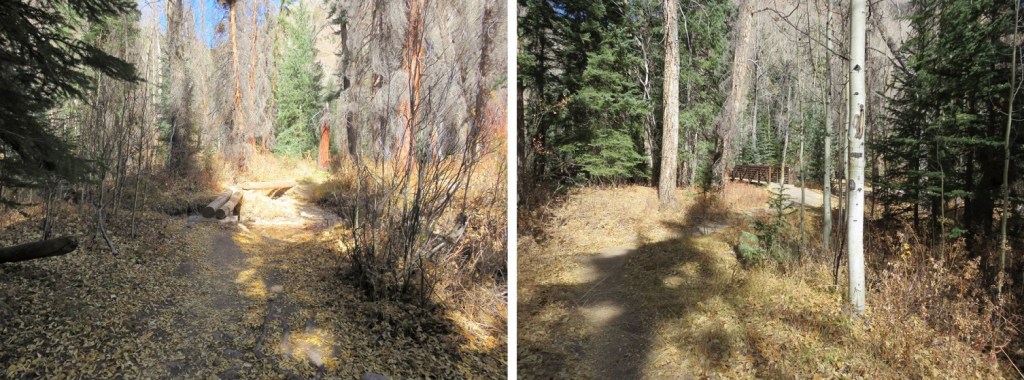
The trail starts at the south end of the parking area, first crossing a bridge, and then a few more smaller bridges (which are new and weren’t here the last time I was in the area) to get across Cottonwood Creek.

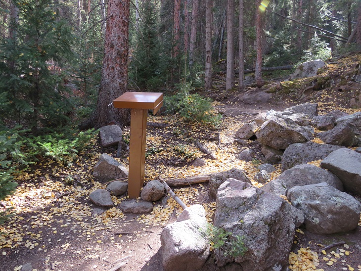
I came to a trail register, signed it, and was on my way

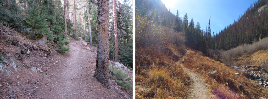
I followed the class 1 Cataract Gulch Trail 475 as it switchbacked south for 3.25 miles

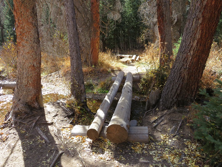
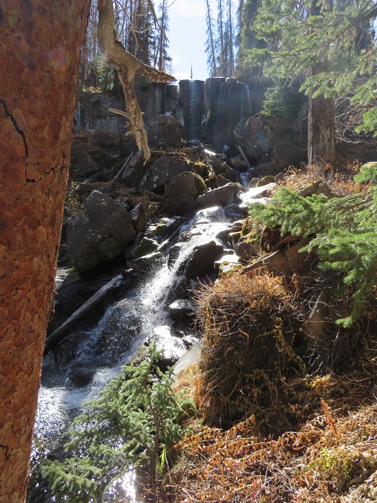
At the top of the waterfall area I crossed the creek a few times (cross the large rock slab first, and then a log)

And came to a boulder field

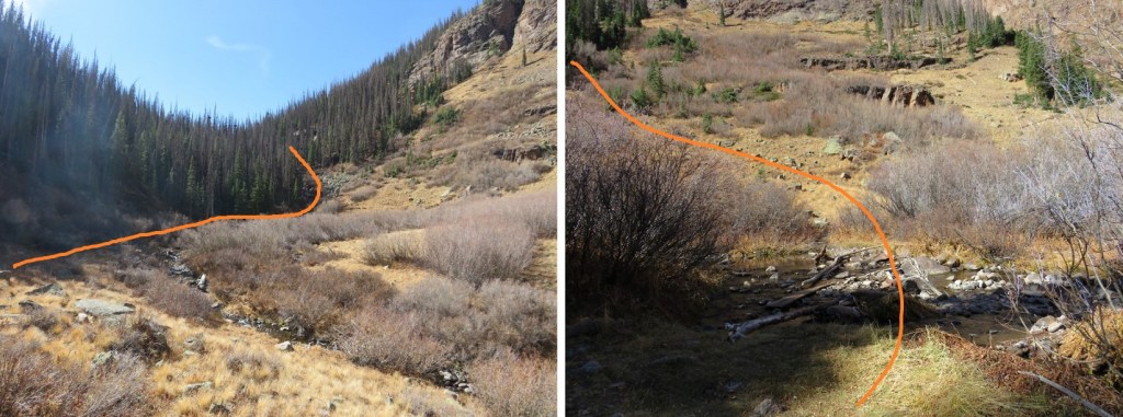
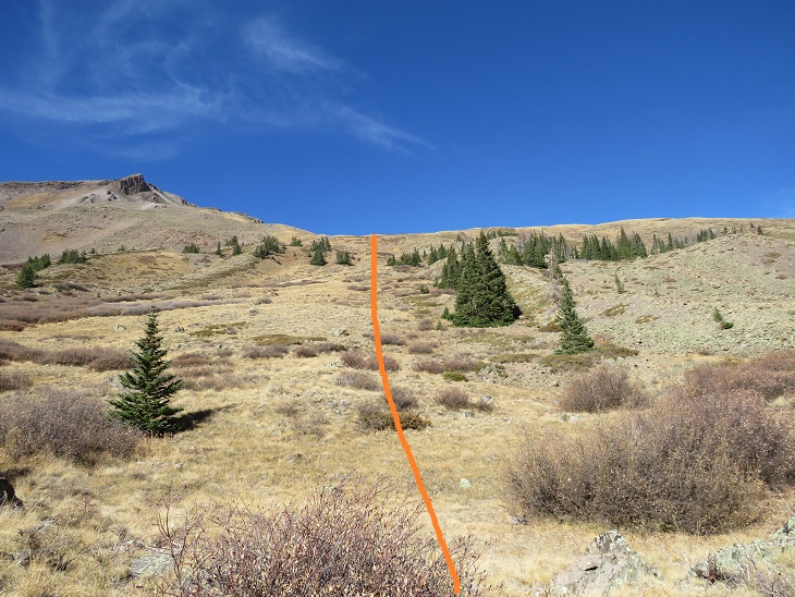
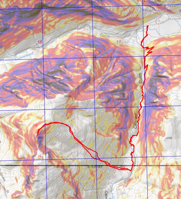
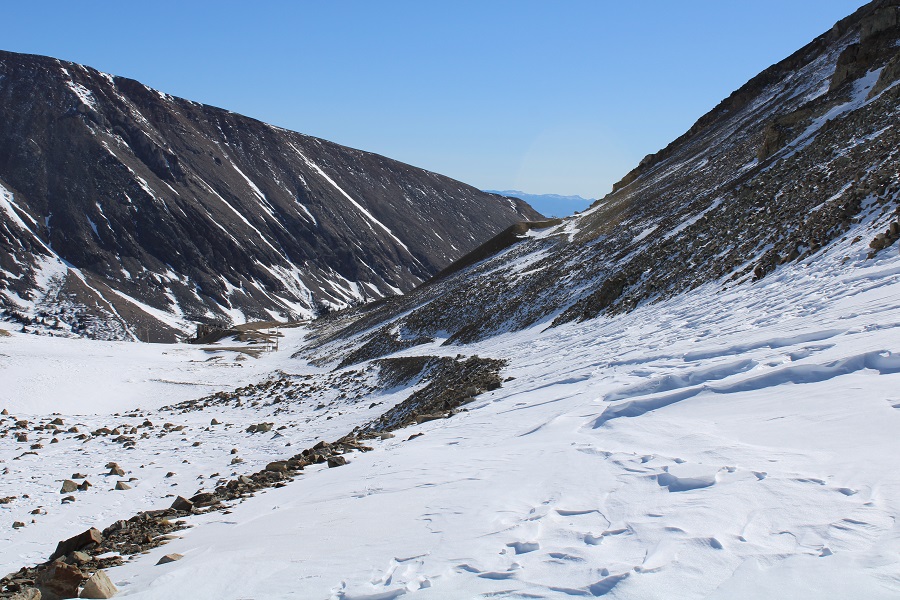
At the top of the boulder field I’d hiked for 3.5 miles.  Here I turned right and headed west up the slope.  Here’s an overall view of the route.  There are many ways to do this, the goal is to gain the upper basin.
The terrain began rocky

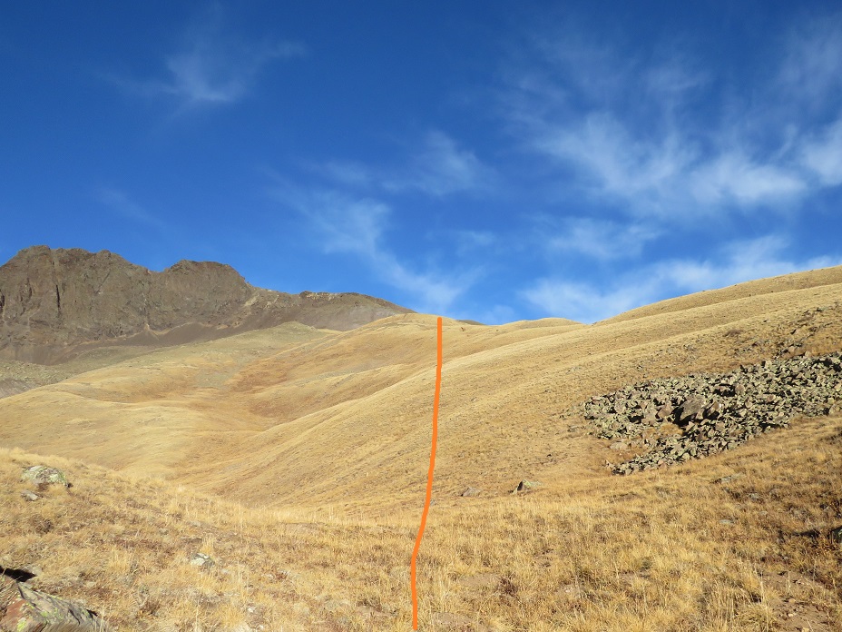
And then changed to tundra

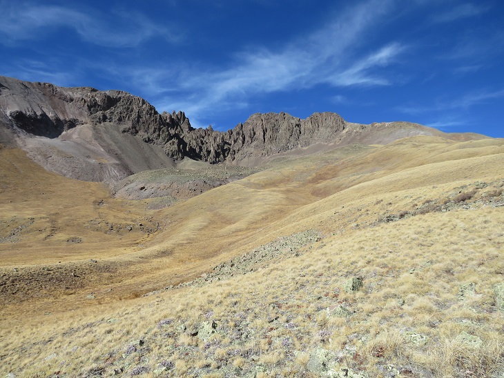
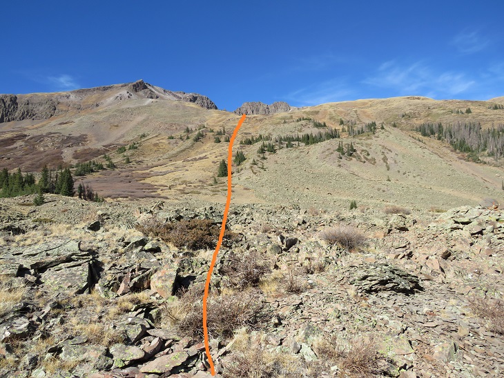
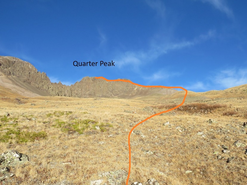
At the top of the hill the tundra started rolling.  Here you can see Quarter Peak, and the overall route to get there

I headed northwest and rounded the upper basin

And then turned left and headed up the ridge

This part of the ridge started out as nice, rolling tundra

But about halfway up turned to rubbish rock.  I’ll say that again:  rubbish rock.

Getting to and staying on the ridge is the best option for this part of the hike.  The rock is loose, but at least it can’t fall from above

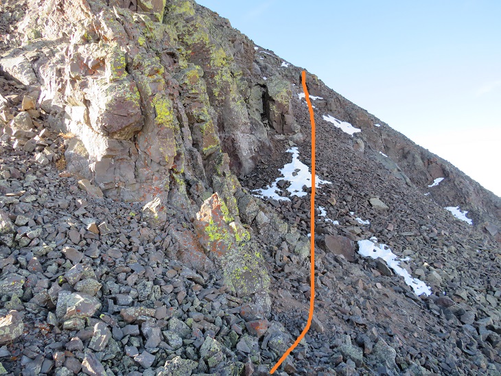
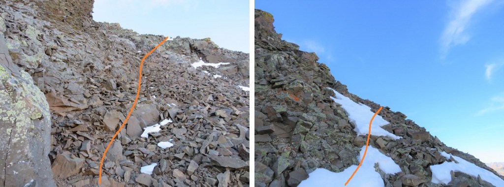
At the top of the ridge I skirted the north side of the mountain for a bit.  There’s a gully here, and you’ll want to go straight up it, but don’t (this is a false summit).  Instead, ascend about 50 feet up the gully, and then continue skirting the north side of the mountain.  This gully is very, very loose, and the terrain changes every time someone ascends/descends. 
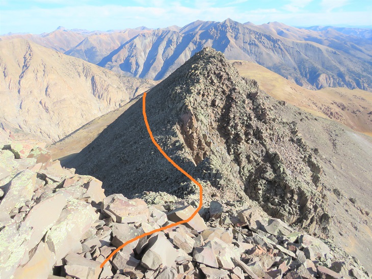
I quickly came to the false summit, and could see the short path to the true summit.  This was class 2
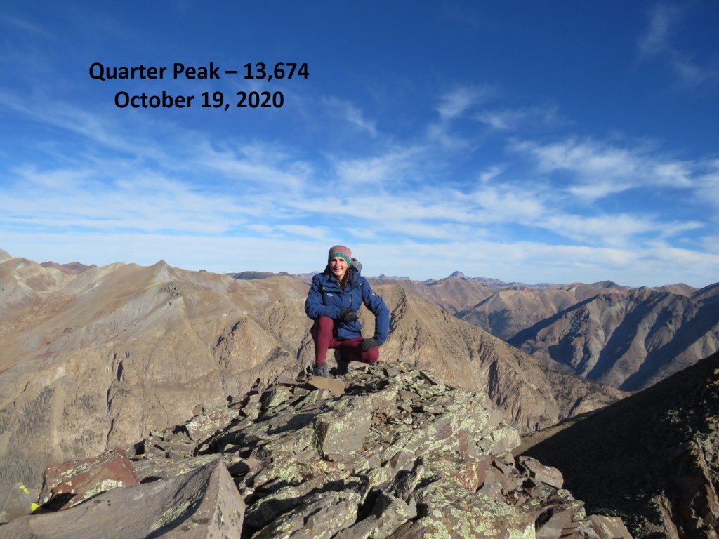
I summited Quarter Peak at 9:30am (unfortunately, I’d lost my sunglasses last weekend camping and didn’t realize this until I was leaving my truck this morning, so I was squinting all day)

Quarter Peak: 

This is an out and back trail, so I headed back the way I’d hiked in.  Route finding was much easier this time as I initially stayed low before the gully

When I got to the gully it was just as bad going down as it had been going up.  Very, very loose.

Then on to the rubbish rock, heading east/southeast down the ridge.  This was slow going, as I didn’t want to roll an ankle

The rock changed to tundra and I turned right and followed the basin east back down to Cataract Gulch trail

Here are some highlights from the trail down

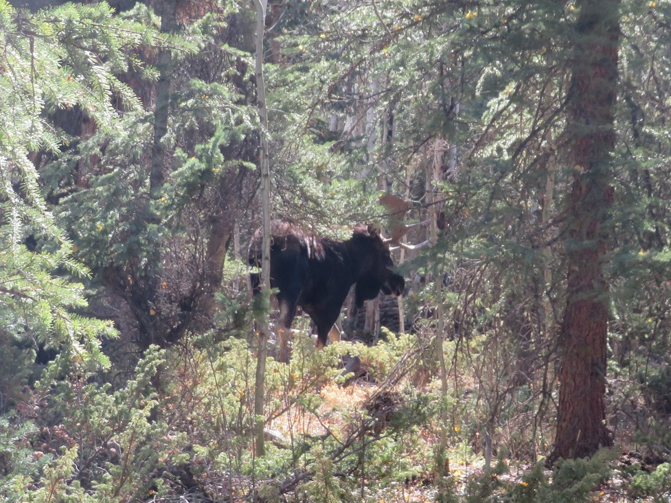
I signed out of the trail register (I’d been the only one to sign it in the past week) and was almost back to the trailhead when I heard a loud rusting.  I stopped and turned to my right.  No more than 10 feet away from me was the biggest bull moose I’ve ever seen!  He was just as startled as I’d been and quickly ran to the cover of denser trees.  I gave him plenty of room, and he kept his back to me, so this was the best picture of him I was able to get.  

I didn’t stay there long, as he obviously wasn’t in the mood for company.  I crossed the creek and made it back to the trailhead

I made it back to my truck at 12pm, making this a 10.3 mile hike with 4227’ of elevation gain in 6 hours.