RT Length: 14.02 miles
Elevation Gain: 5562’
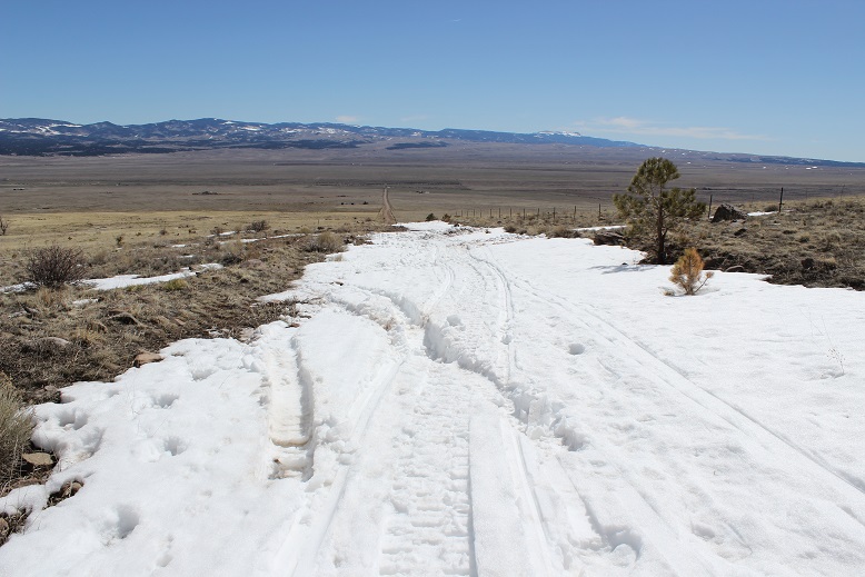
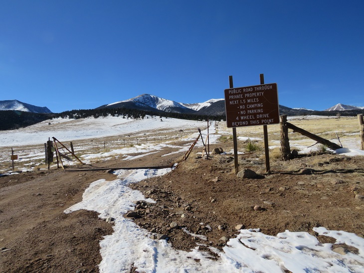
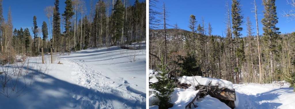
This was my third time hiking Humboldt, but my first time in calendar winter. The last time I was here there was a terrible wind that was causing the snow to become clouds, and I couldn’t see the summit when I arrived (or my own 2 feet). This time I was here for better pictures of the route, and to count it as an official snowflake. I arrived at the South Colony Lakes lower trailhead and was the only one in the lot when I parked my truck. I put on my gear, using only microspikes as my footwear, and was on the trail at 4:30am. As usual in winter, the snow started just past the 2WD parking area. I always find it amusing to see how far the tire tracks try to go up the road. This time, they didn’t go far.
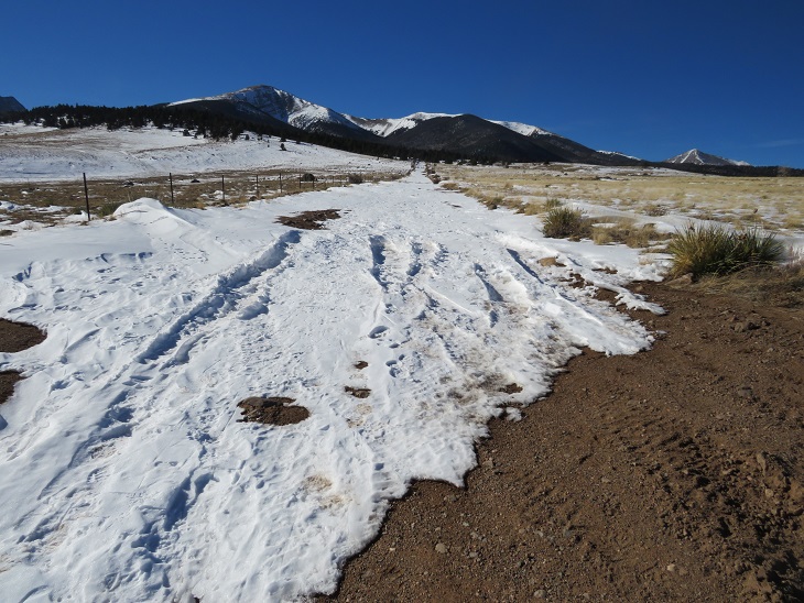
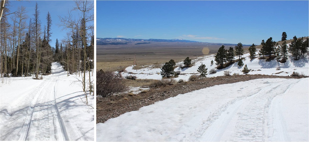
The snow on the road started right away, but there was a good trench. I followed the road for 2.3 miles to the junction with Rainbow Trail. It was still dark out, and as I rounded the last corner of the trail where I could still ‘see’ the trailhead I noticed there was another car parked there. It seems there would be hikers about a mile behind me today. Also, my flashlight started flickering. Time to change the batteries!

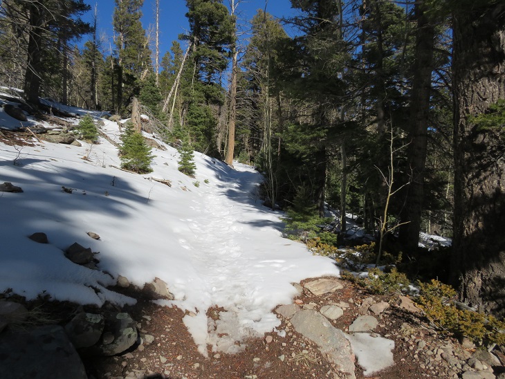
At Rainbow Trail the trench spiked, one side going towards Marble Mountain, the other towards Humboldt Peak’s East Ridge. There weren’t any tracks headed further down the road to South Colony Lakes. I turned right and followed Rainbow Trail for .5 miles.

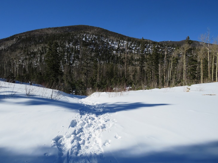
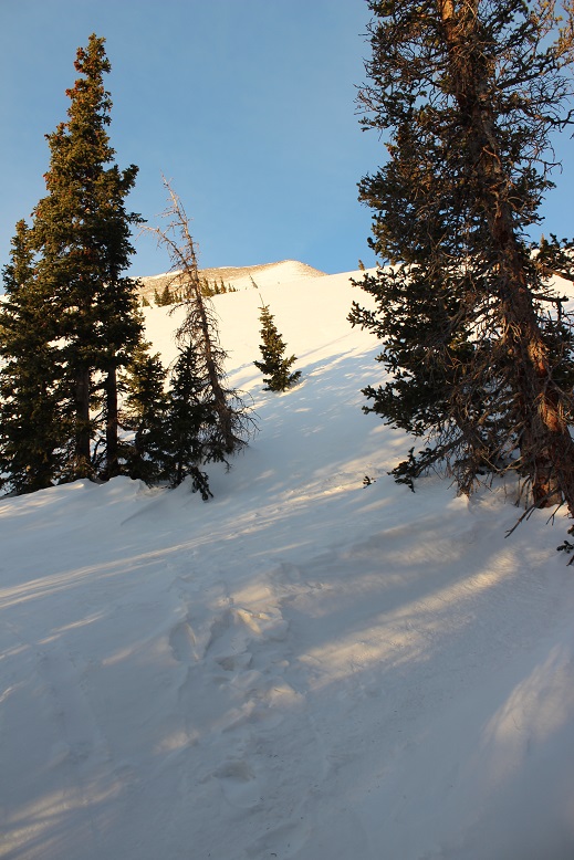
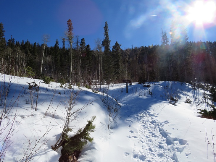
I quickly came to a bridge, then took the trail to the top of a slope

At the top of the slope I was thrilled to see there was a trench in place leading up the ridge. Last time I did this hike I’d had to trench it myself, and it had taken quite a bit of work. Today, I was going to poach someone else’s trench! Woot!
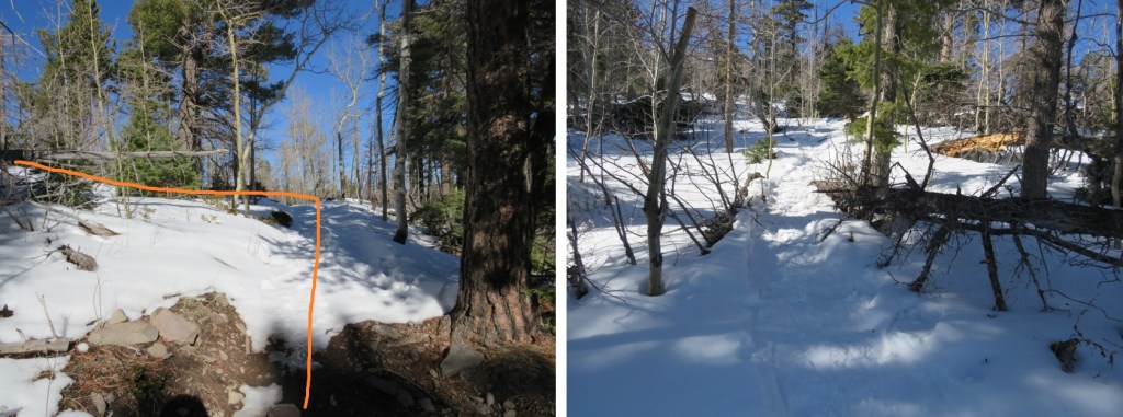
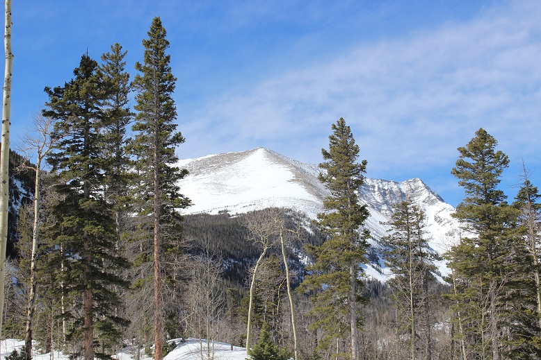
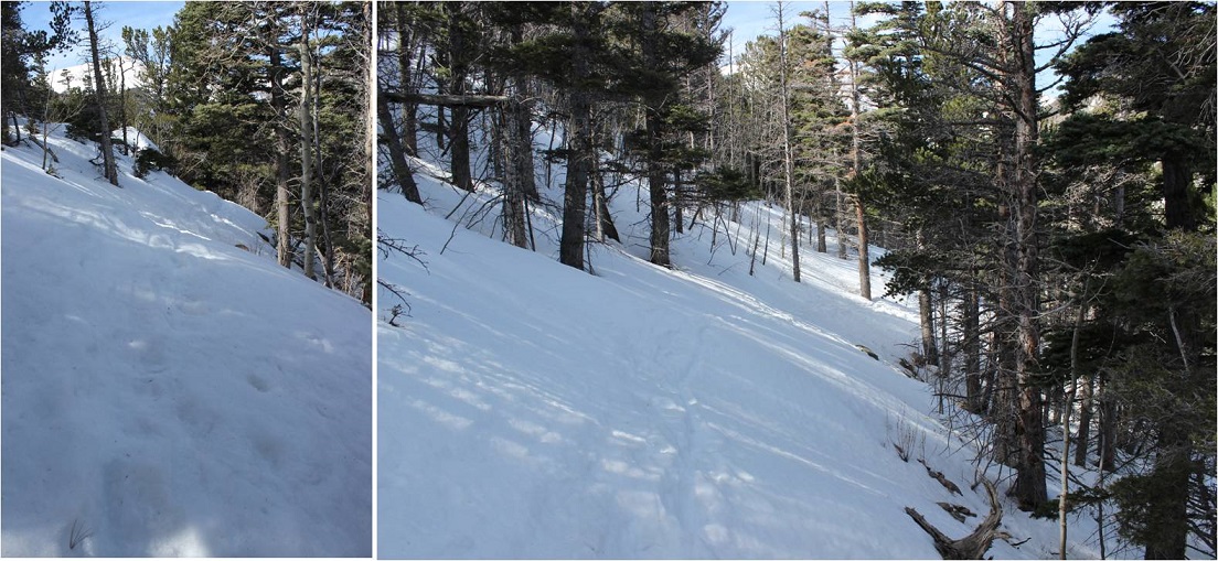
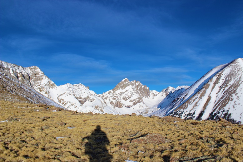
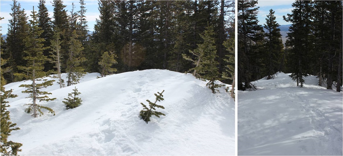
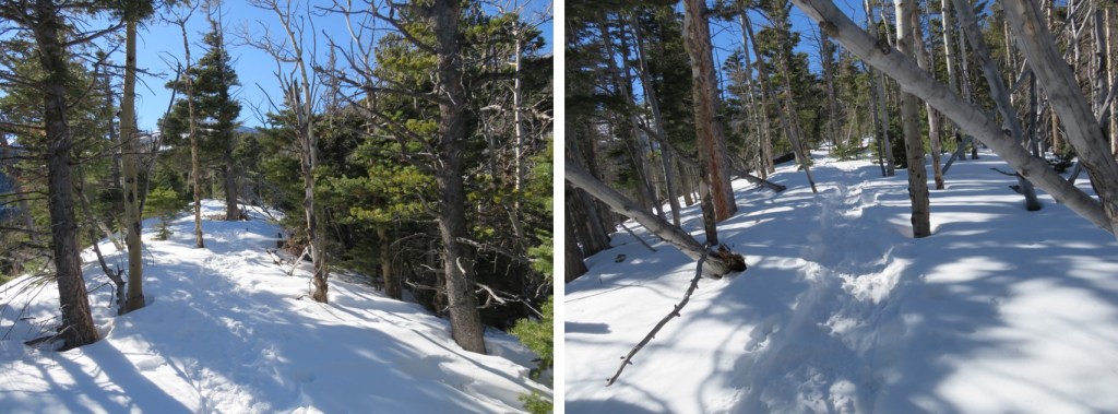
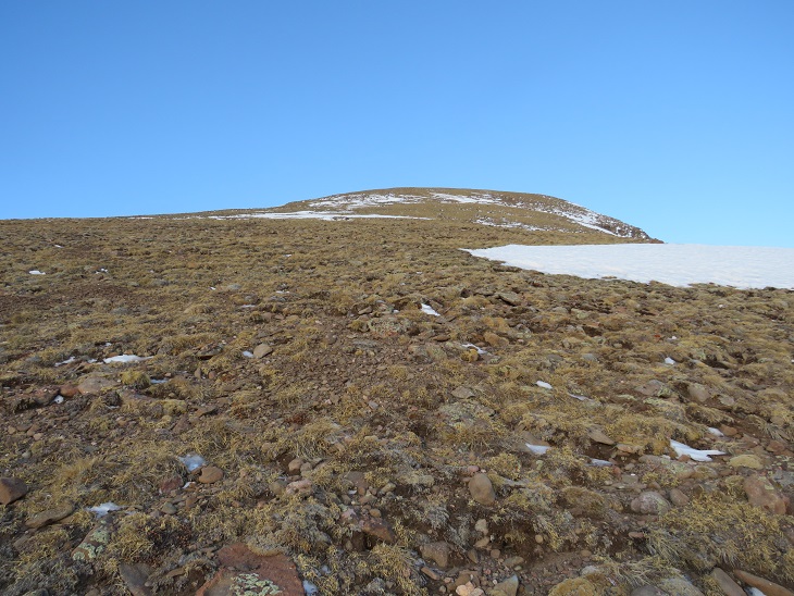
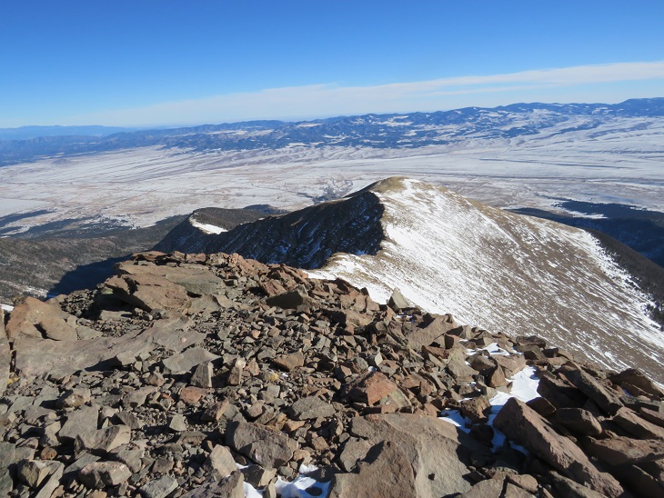
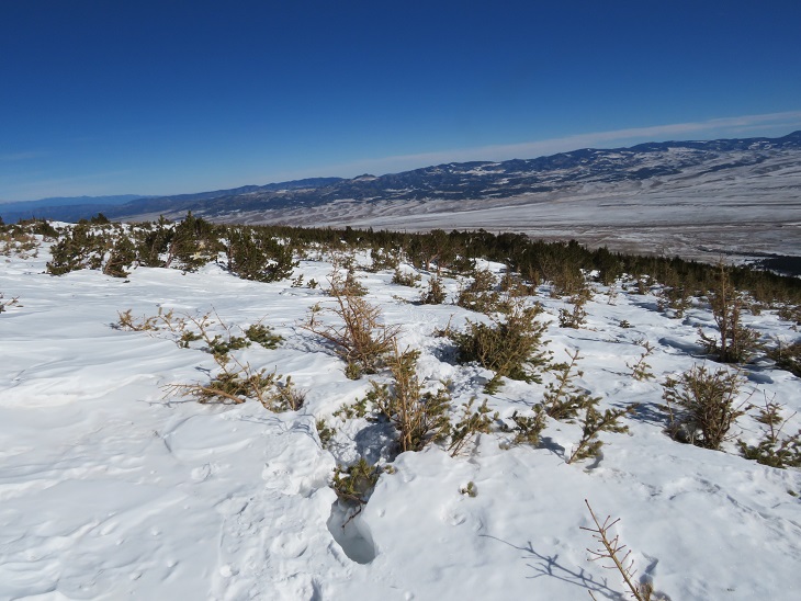
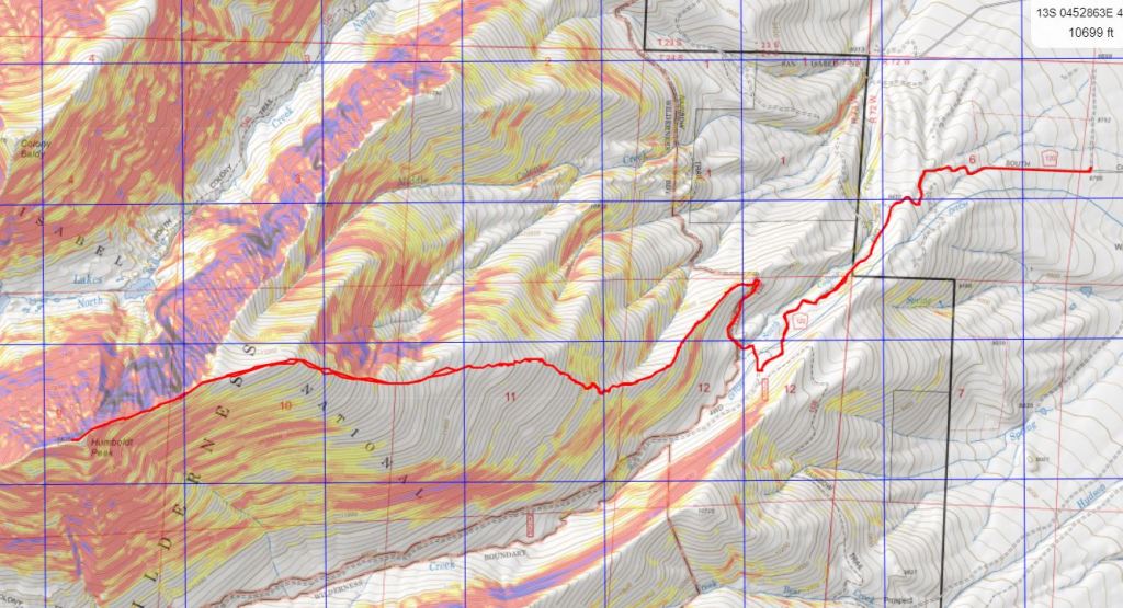
And what a trench it was! I followed it as it for 2 miles as it ascended the east side of the ridge, all the way to treeline. Here’s an overview of the route up to Humboldt Peak
If you keep heading west and stick to the rib/ridge, it will take you to treeline. I could hear the wind above the trees, and got a bit anxious for the above treeline part of the hike.

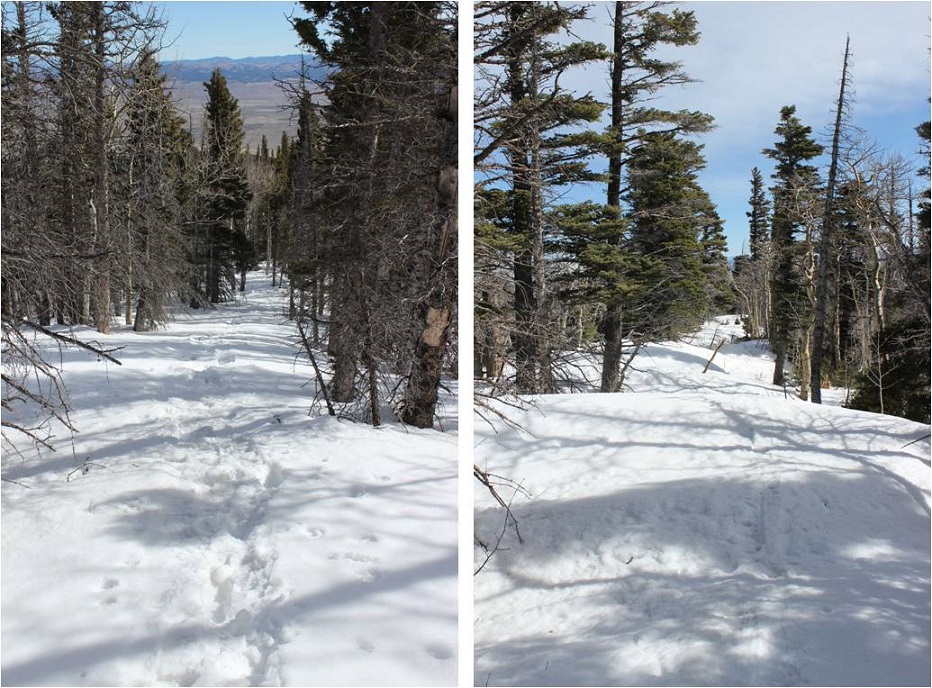
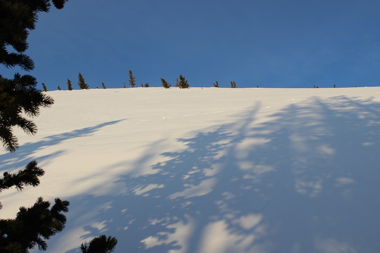
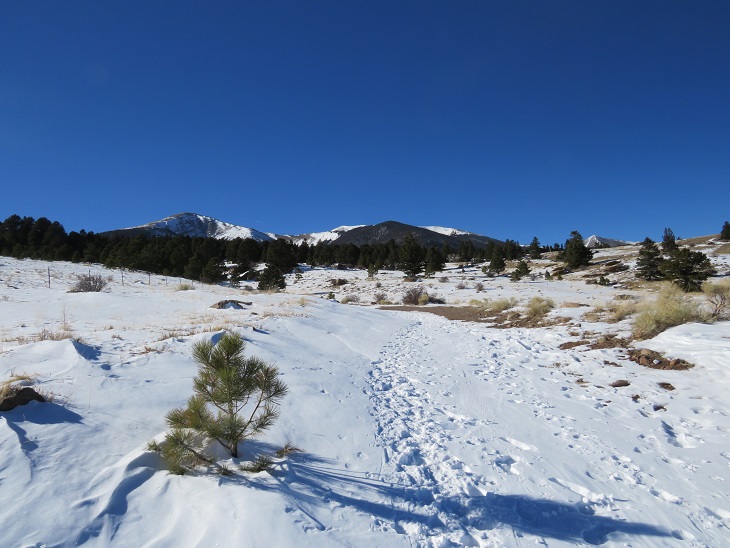
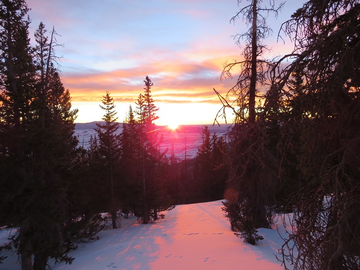
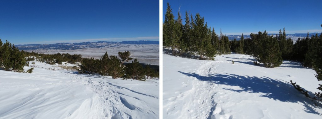
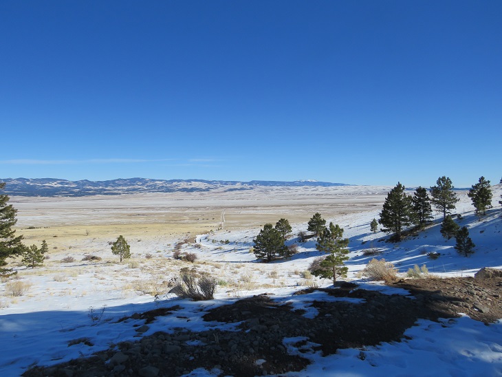
As I hit treeline the sun started to rise. I took a few minutes to enjoy the view. (side note: there were a lot of rabbit tracks here)
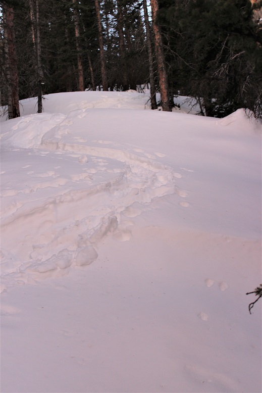
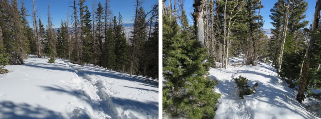
The trench ended near treeline. I could see where it was supposed to go, so I kind of re-trenched it as best I could wearing just spikes.

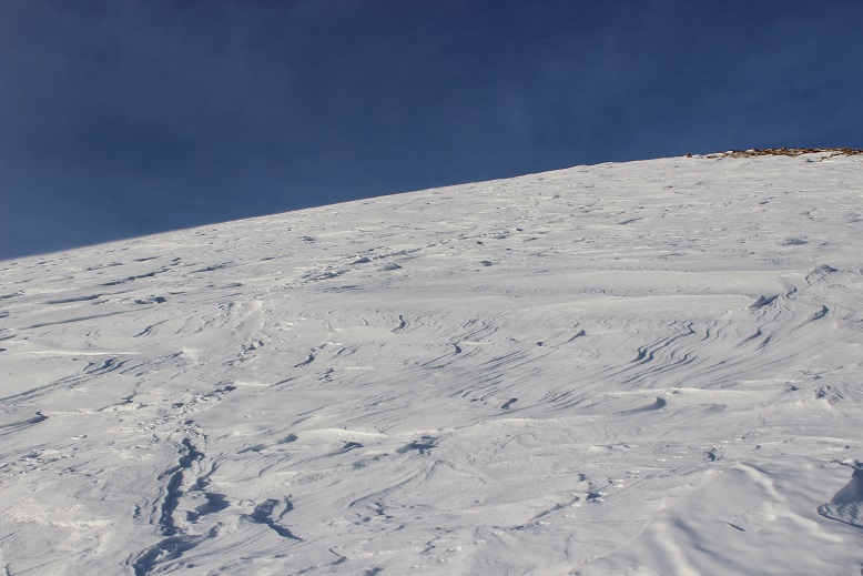
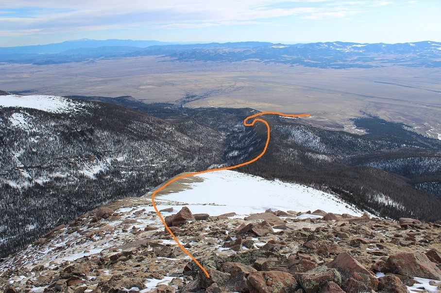
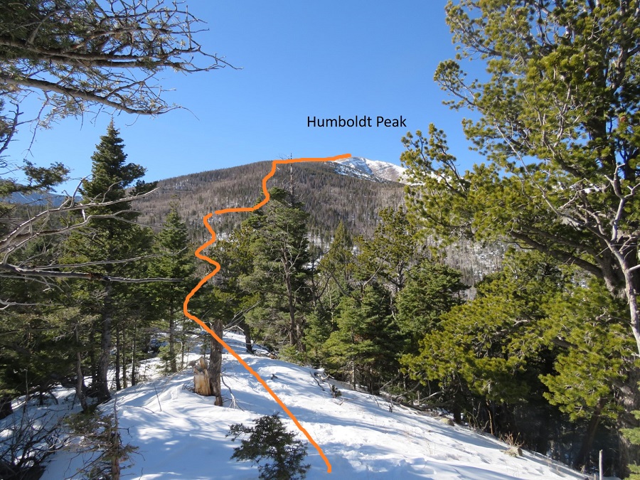
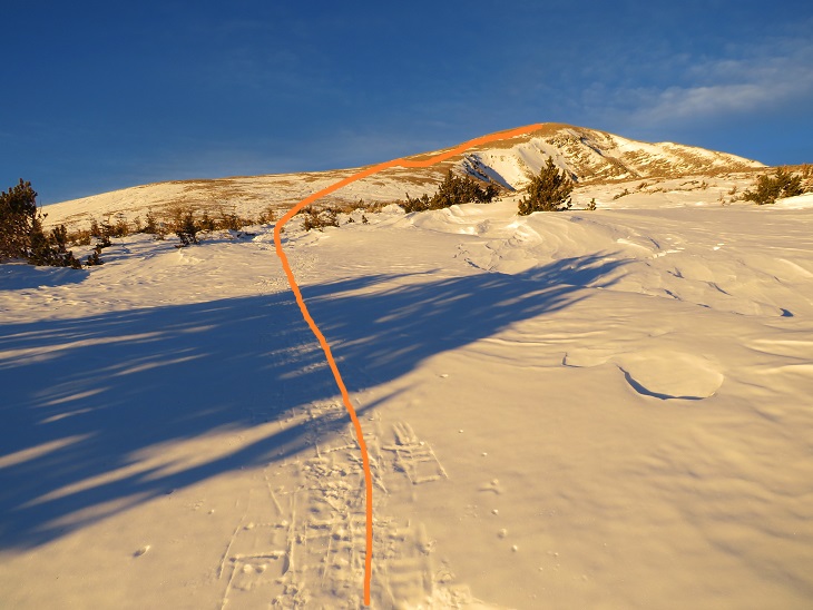
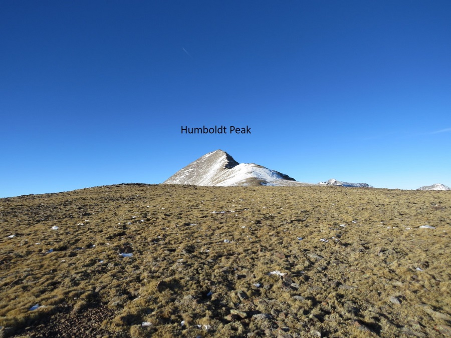
Here’s the general overview of my route up the ridge
The wind had been intense all morning, but once I was above treeline it became difficult at times to even stay upright. So much for the forecased 11-17mph winds! I’d started early to avoid the most intense winds that were supposed to start around 11am, but it seems they started a little early. I had to hunker down at times and turn away from the wind, which turned the snowflakes into glass, and was side-stepping as I hiked just to stay in a straight line. I tried to take pictures, but unfortunately, wind is invisible. I kept my gloves on and was glad I’d put on my balaclava at the trailhead. Here are some pictures of the ridge.
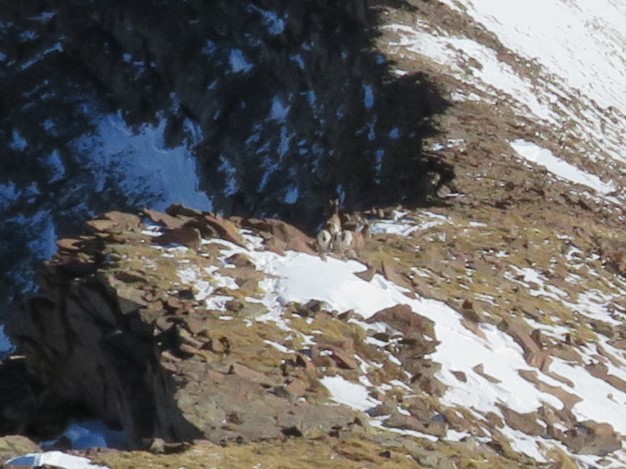
Here I noticed some bighorn sheep in the distance. They also noticed me and trotted off.
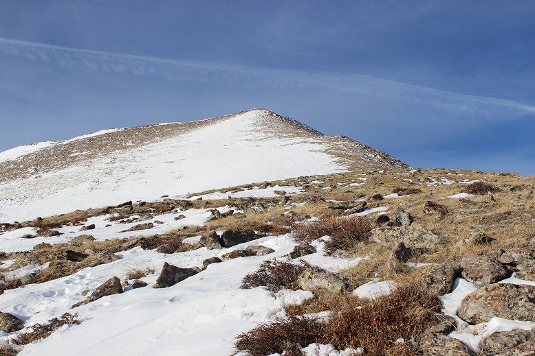
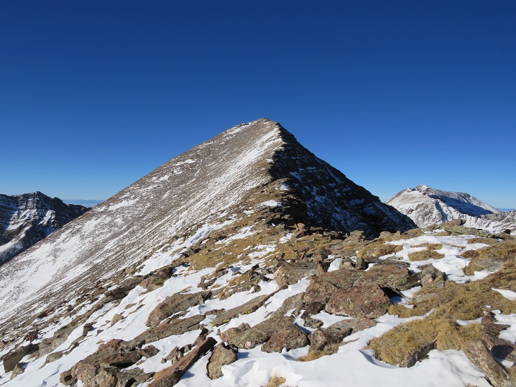
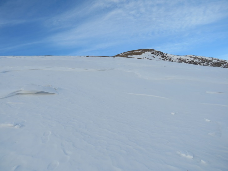
At the top of the ridge was another ridge, so this had been a false summit. Here’s the actual summit of Humboldt Peak. It’s a straightforward ridge hike to the summit, nothing above class 2.
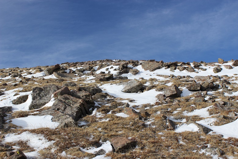
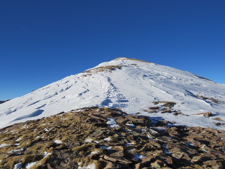
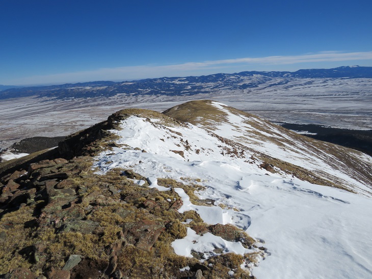
Here are some pictures of the ridge. There was some snow, but it was all firm enough not to need traction
On this part of the ridge the wind really picked up. I had to hide behind rock structures to get out of the brunt of it, and the noise it made as it came up and over the rocks was creepy. The balls of my feet were frozen at this point (due to Raynaud’s) and it felt like I was walking with large rocks in my shoes (I wasn’t, it was just the ball of my foot that had frozen). Several times I hunkered down to maintain my balance, but it was still a straightforward ridge hike.
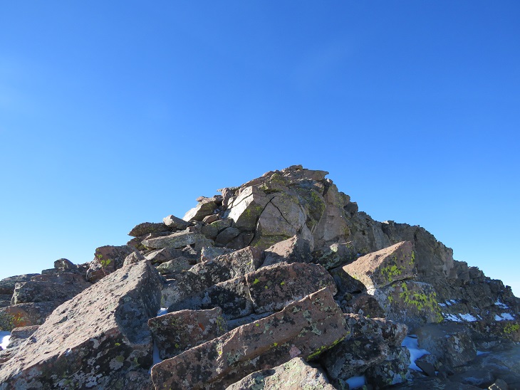
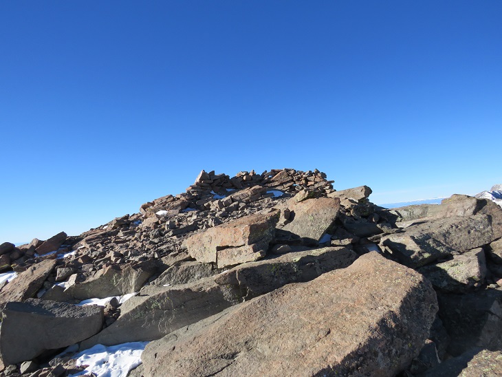
I knew I’d made it to the summit when I found the wind breaks. I never saw a summit marker, but I don’t think there’s one here?
I’ve summited Humboldt Peak twice before, so I knew I was at the summit at the first wind break, but I walked further west for better pictures.
I summited Humboldt Peak at 9:45am

Humboldt Peak:
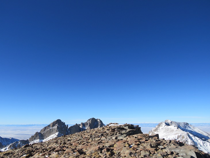
The views of the Crestones/Sange de Cristo range were beautiful!
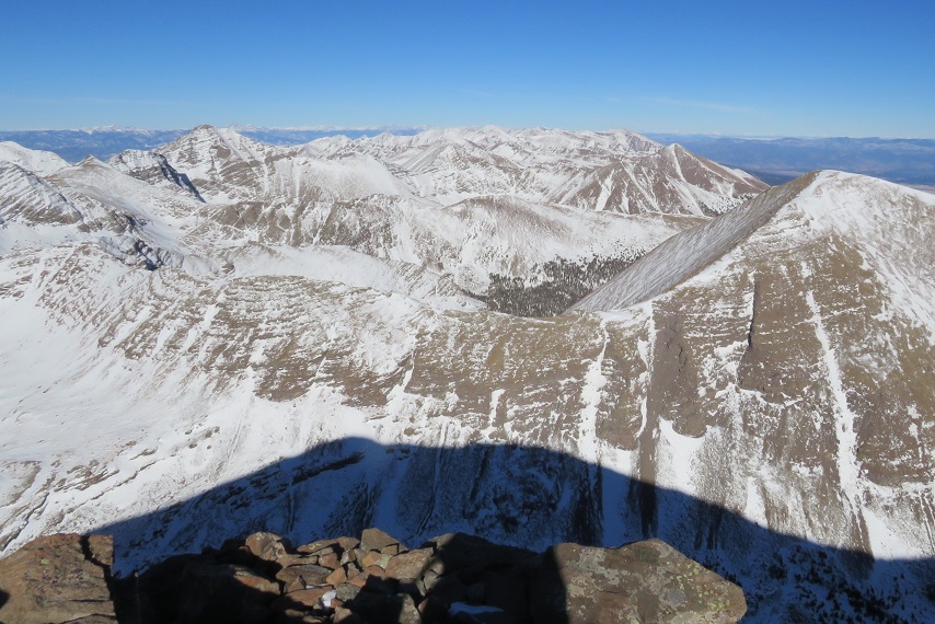
Time to head back down the ridge
The wind was still fierce, and I was worried I was getting a nasty windburn in all the areas my balaclava didn’t cover. The wind speeds weren’t supposed to be this high, so I’d left my goggles at my truck. Note to self: next time, bring the goggles. On my way back down the ridge I saw the Bighorn Sheep again. They quickly turned when they saw me and headed over the mountainside. There was a big drop on the other side, and I was surprised I couldn’t see them again when I passed.
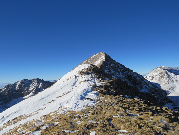
This was a simple ridge stroll, or, it would have been, without the wind
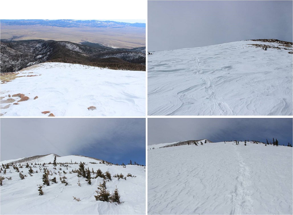
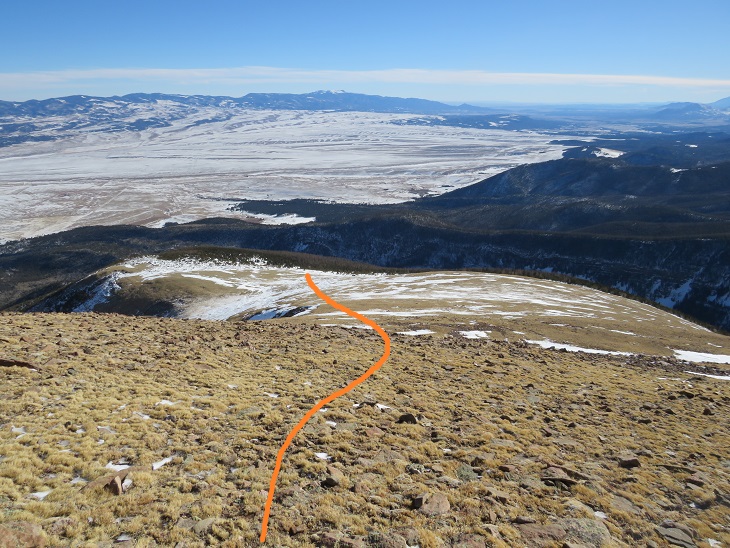
Here’s looking at my route back down the ridge to treeline
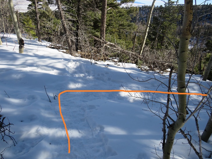
Here I met some hikers heading up. The wind had died down considerably by this point, so I figured they had the better weather of the day (I found out later it picked back up again, and they said their summit was just as windy as mine). My feet started to de-thaw, and I had a minor Raynaud’s attack: think insane pins and needles as the blood started flowing again. It lasted about 30 minutes, and to combat it I just kept hiking. On a positive note, I could feel my toes! Finding my tracks back to the trail was a bit of a challenge, but I came across them eventually.
Then I followed the trench back to Rainbow Trail. I should have put on snowshoes here, as I postholed ever 30 feet or so, but I really didn’t want to stop. I was just glad I’d started early enough in the day not to need snowshoes (spikes worked just fine). Anyone heading back down later than me would need snowshoes.
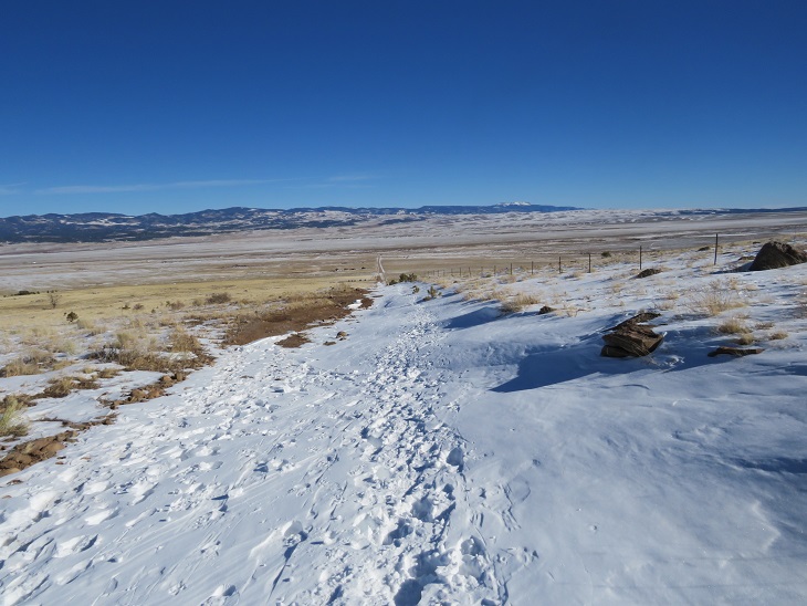
Once back at the trail I followed it a half mile to South Colony Lakes Road

Once on the road I hiked the 2.3 miles back to the trailhead, noticing a lot of dog tracks along the way. As I neared the trailhead I saw a couple walking with two beautiful dogs. It seems they were out on a day hike, and I thought this was a great idea, as it was a beautiful day below treeline.
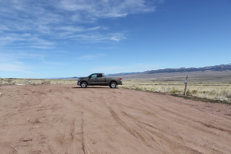
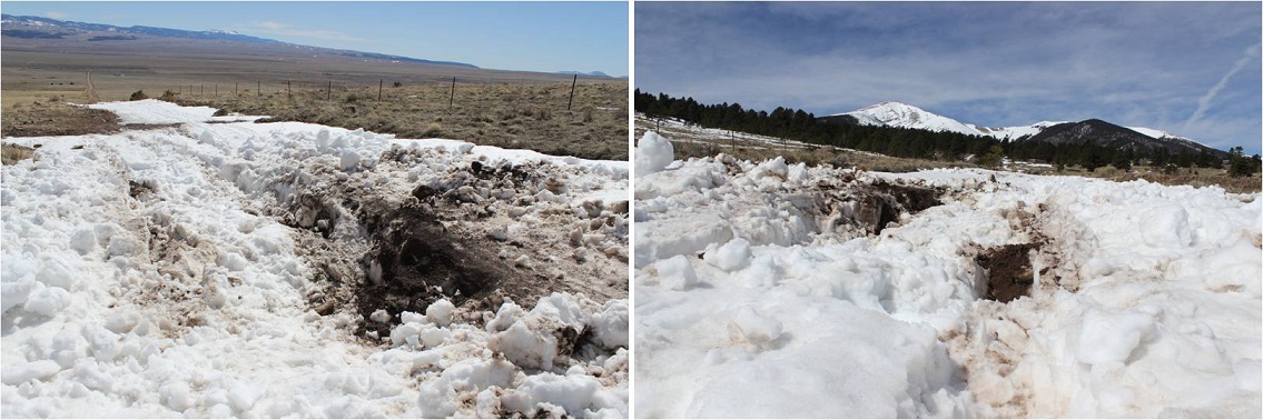
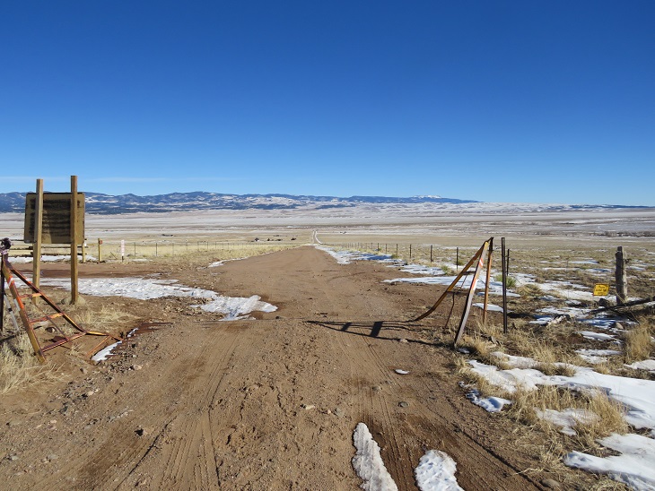
Here’s a look at the trailhead on my way back. Easily 2WD accessible.

I made it back to my truck at 1pm, making this a 14.02 mile hike with 5563’ of elevation gain in 8.5 hours.
Unfortunately, when I made it back to my truck I could hear the conversation the couple with the dogs were having. The man kept cussing at his female companion, and the dogs, over simple things like an overturned water bowl. To me there’s no need for vulgar words, and he was using multiple ones in each sentence he uttered. I felt the urge to say something, but no one else in his party seemed to mind his behavior, so I kept it to myself. I’m not sure why women allow themselves to be treated that way?
The Humboldt Peak Summit Sticker can be bought here