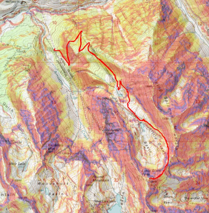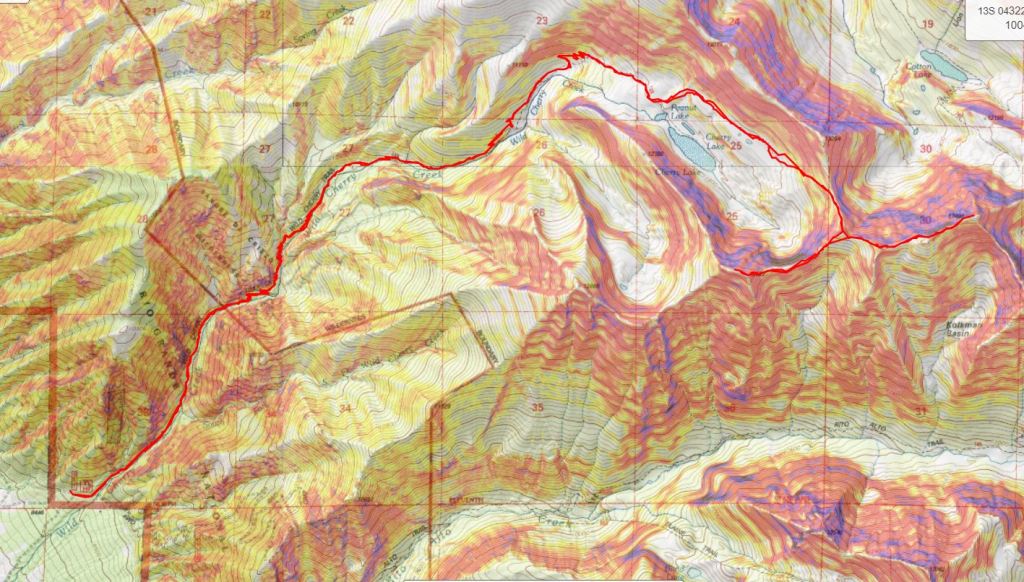
RT Length: 10.36
Elevation Gain: 3539’
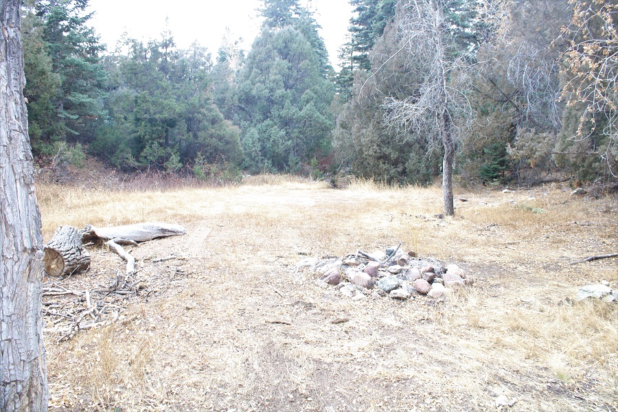
I spent the night dispersed camping at the Molas Trailhead, because the views there are amazing. Added bonus: I was able to talk with trail runners who had been along the trail to the Vestal Basin, and learned (at least to the Beaver Ponds) it’s all melted out and there aren’t any new downed trees.
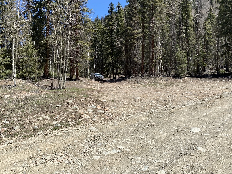
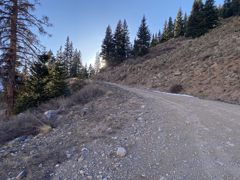
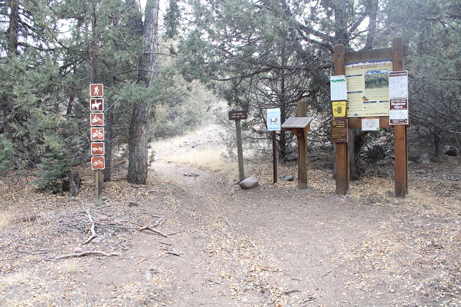
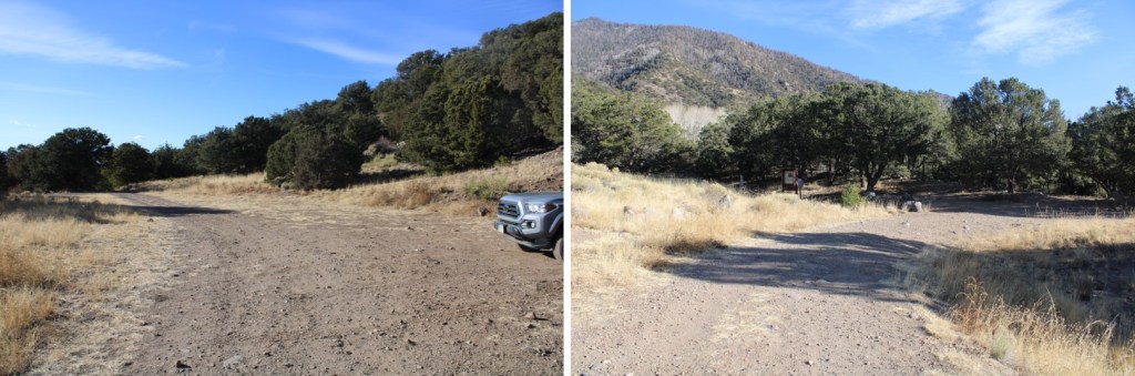
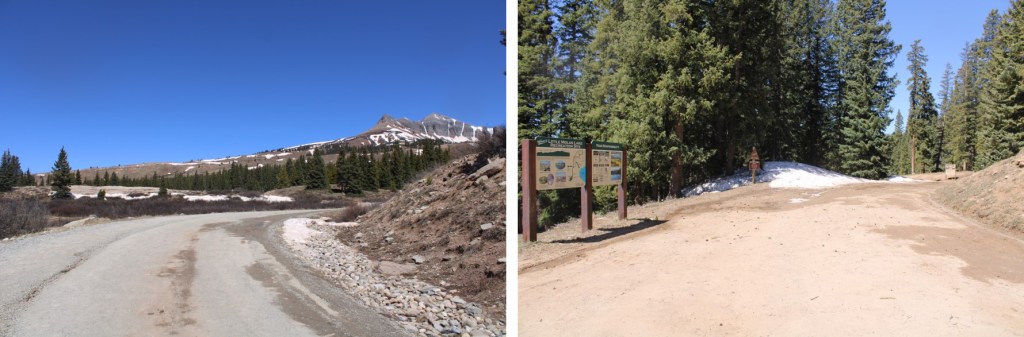
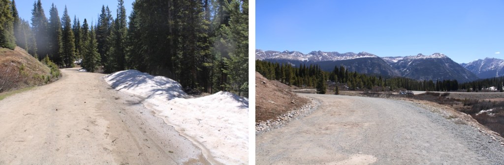
I woke up at 4:30 am and drove to the Little Molas Lake Trailhead. The gate to the campground was still locked.

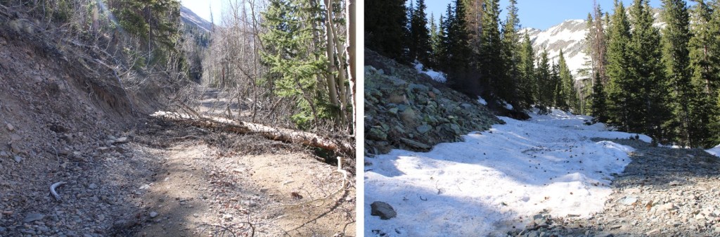
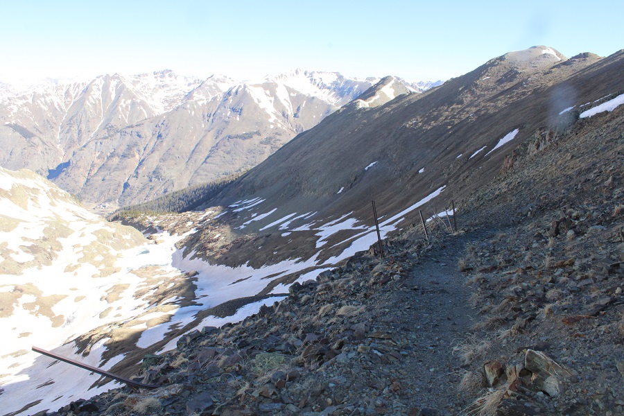
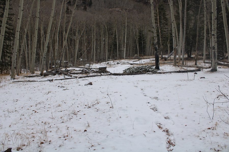
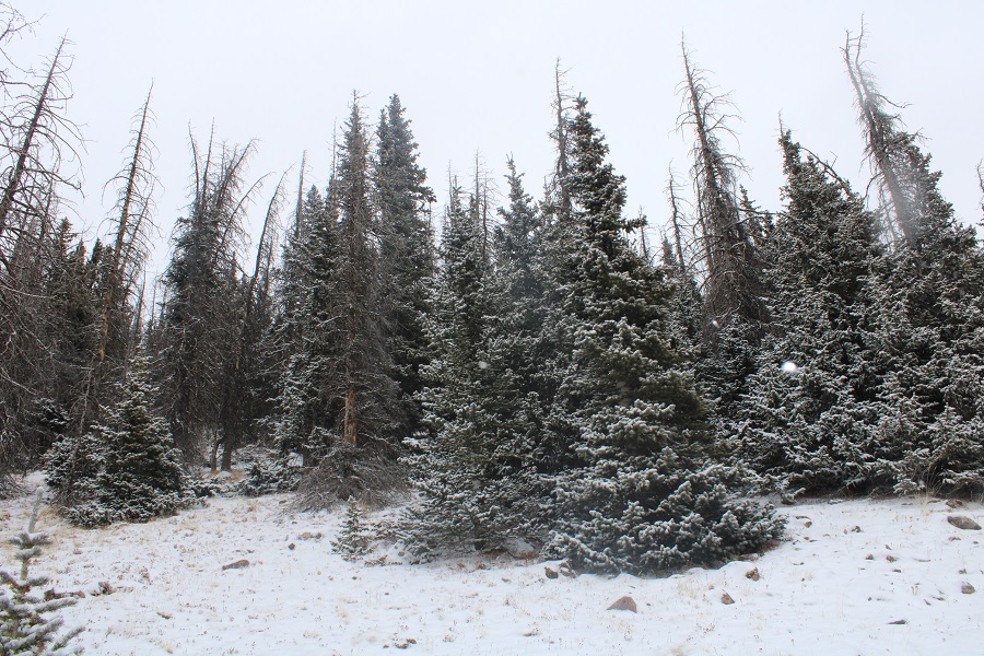
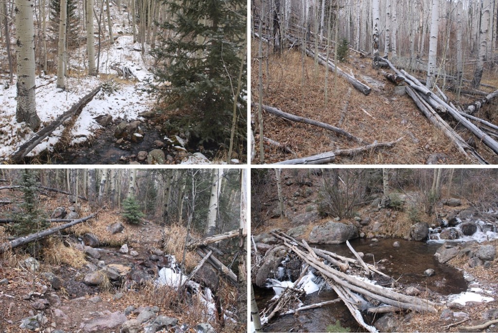
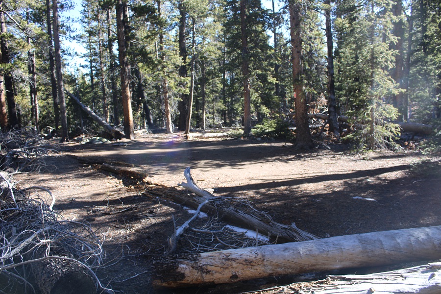
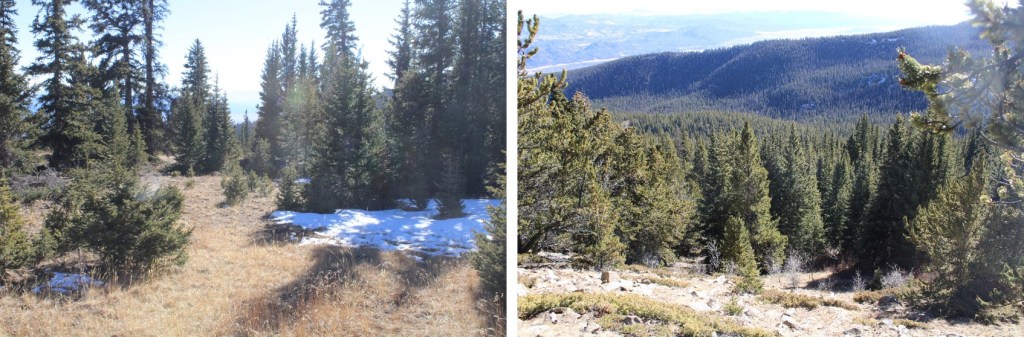
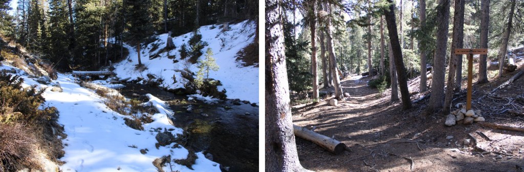
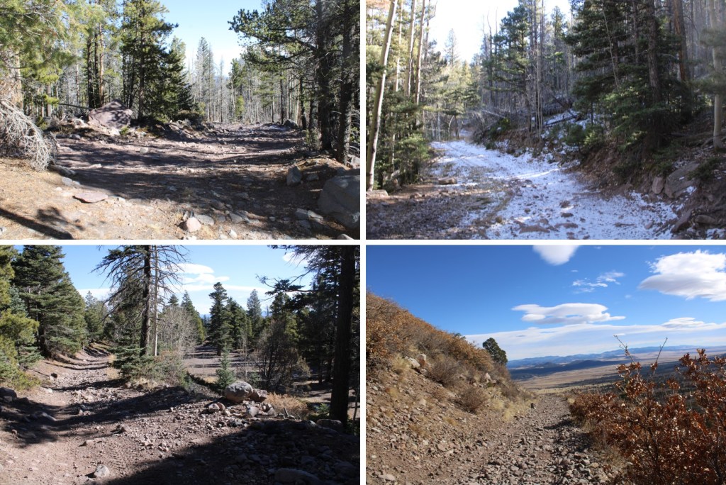
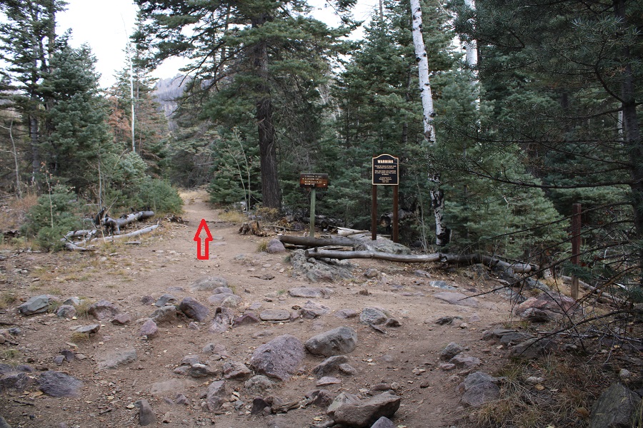
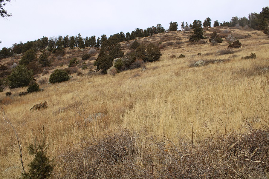
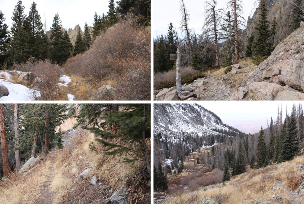
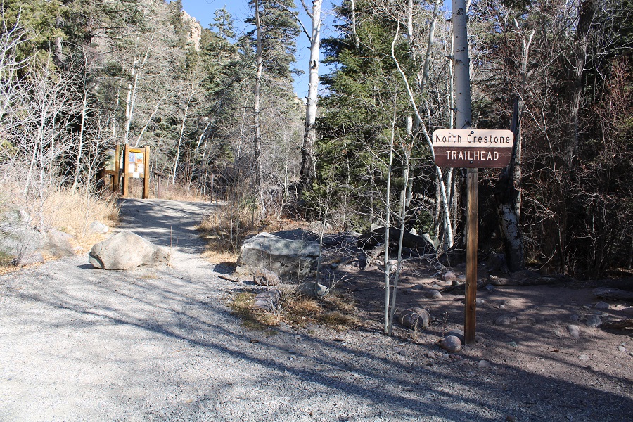
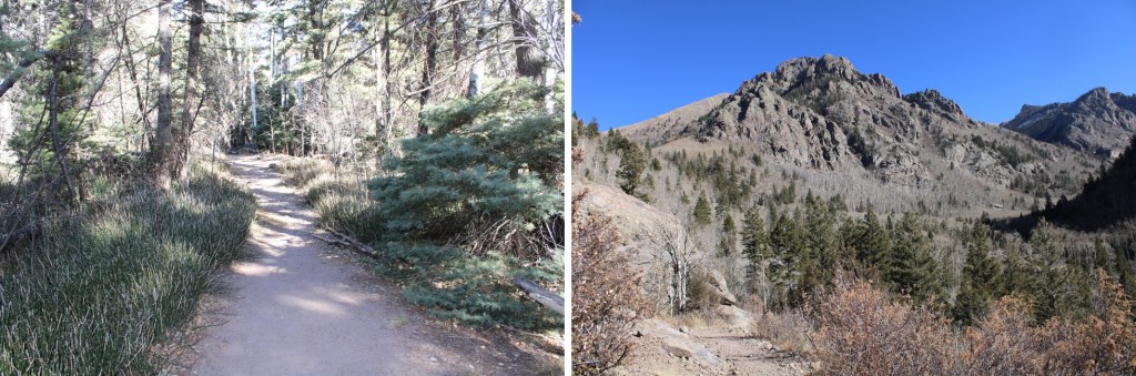
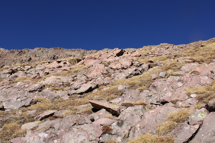
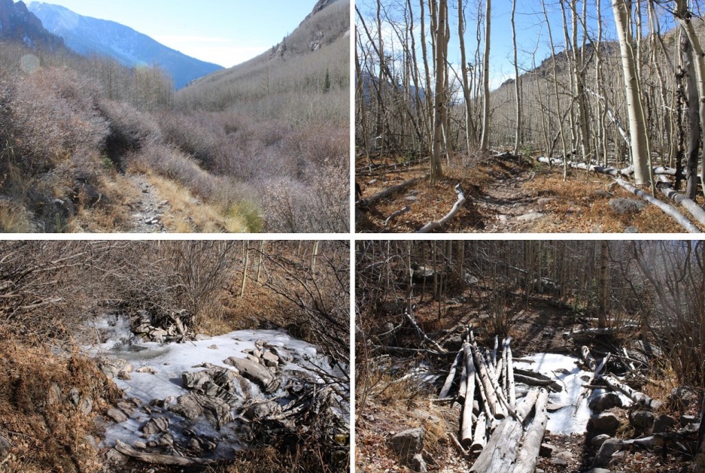
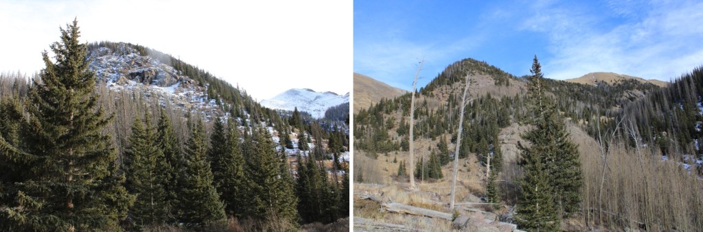
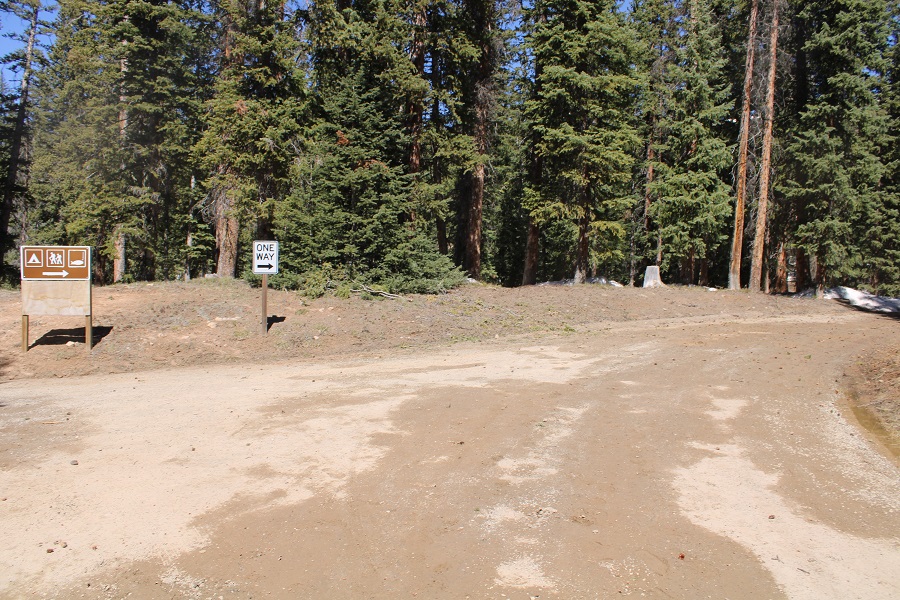
It was still ark when I started out. I followed the road through the campground, staying right on the one- way loop.
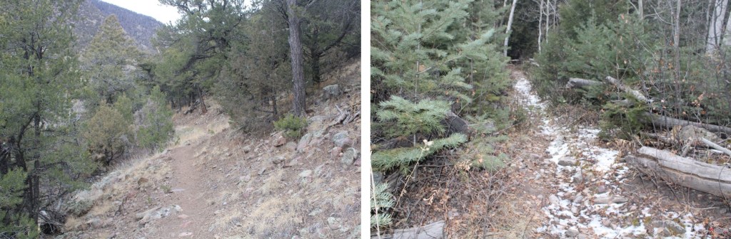
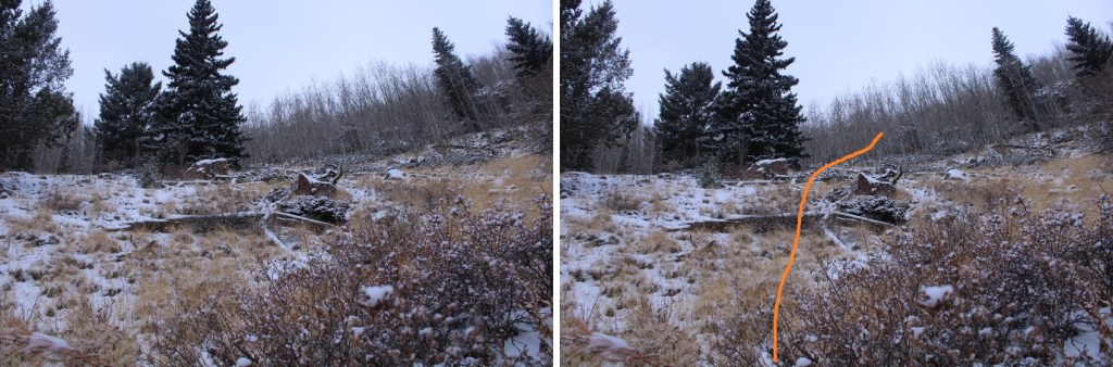
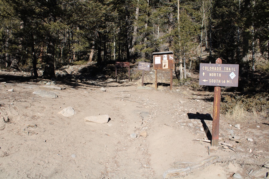
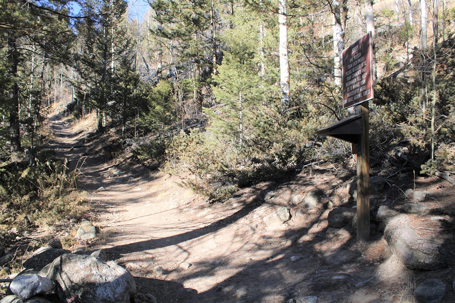
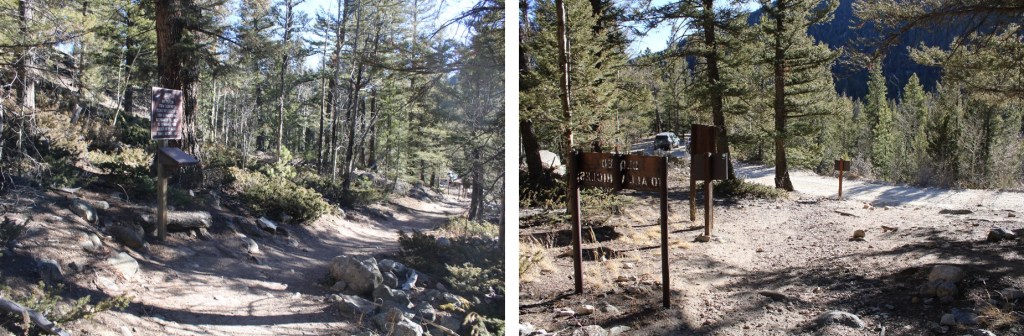
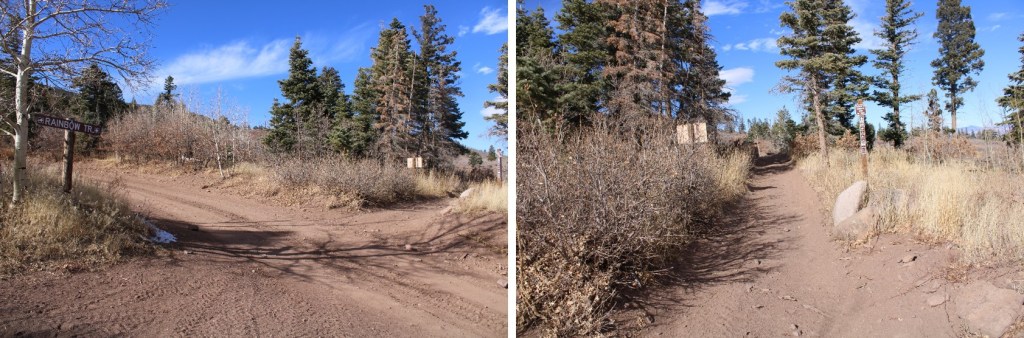
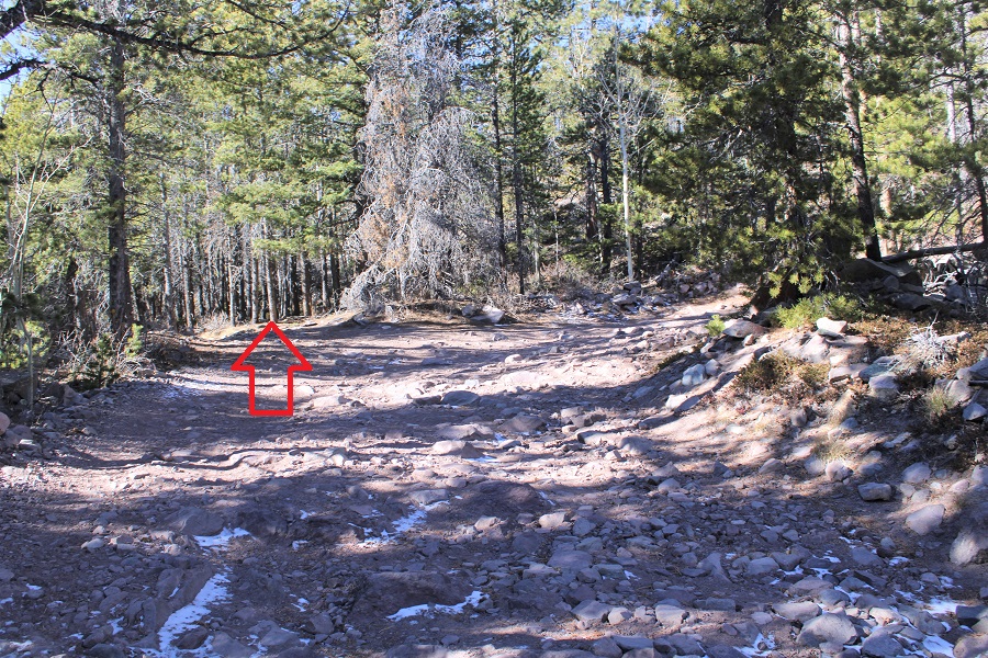
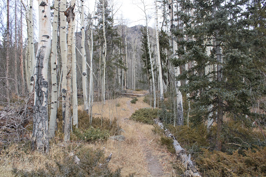
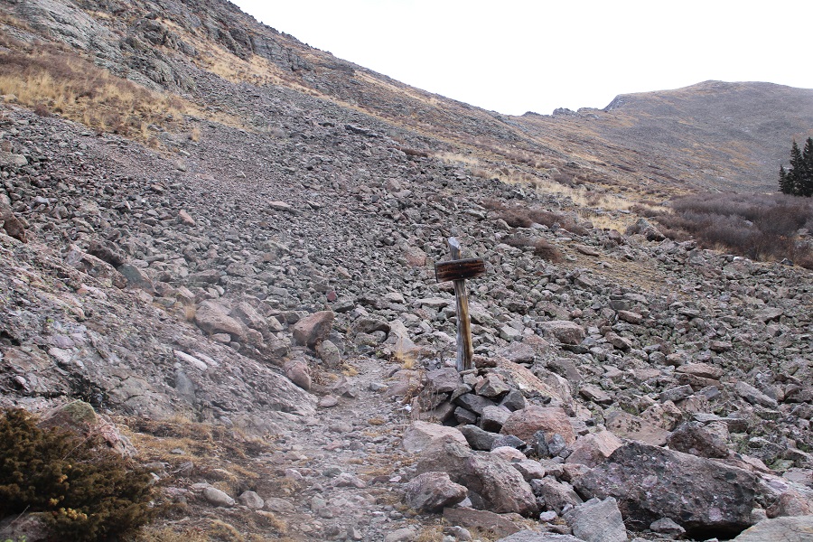
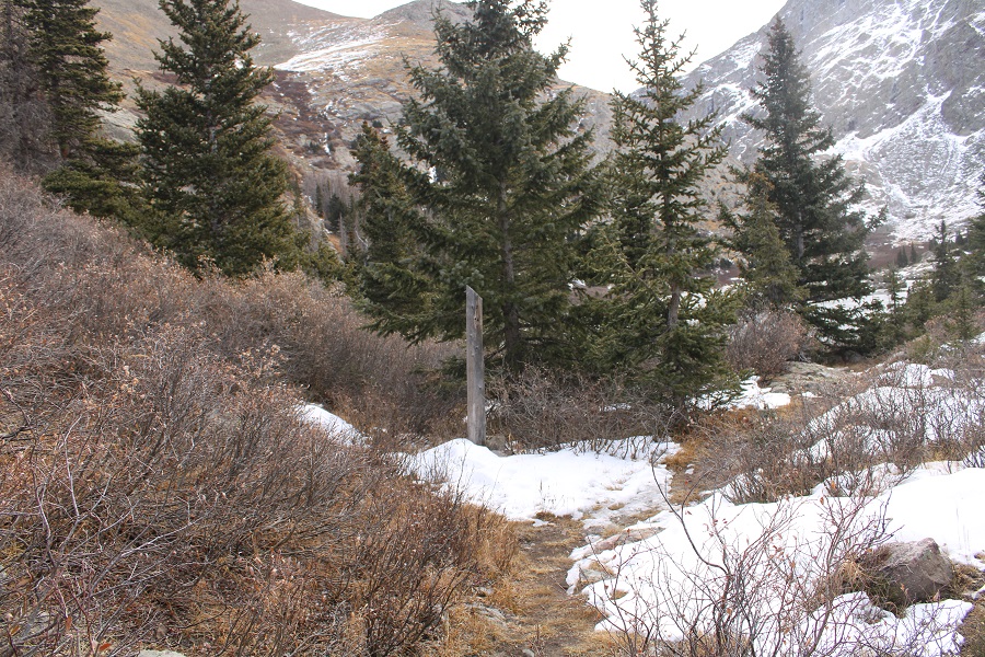
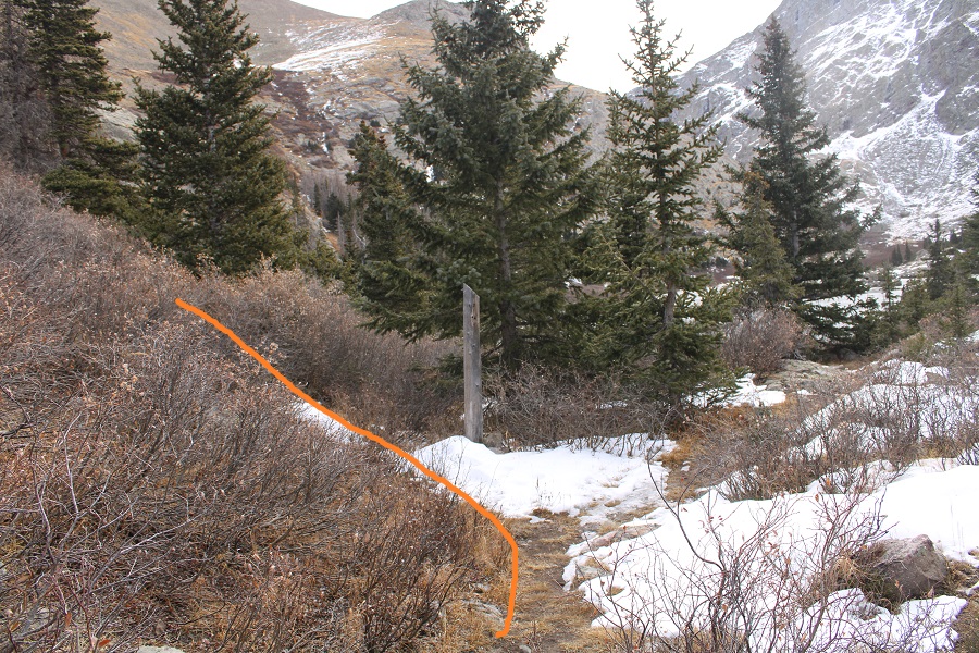
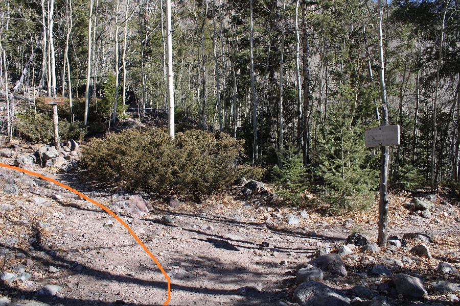
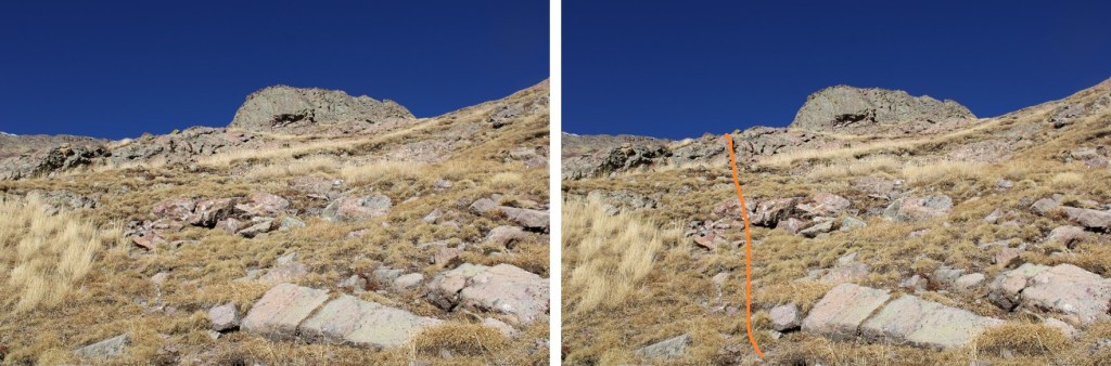
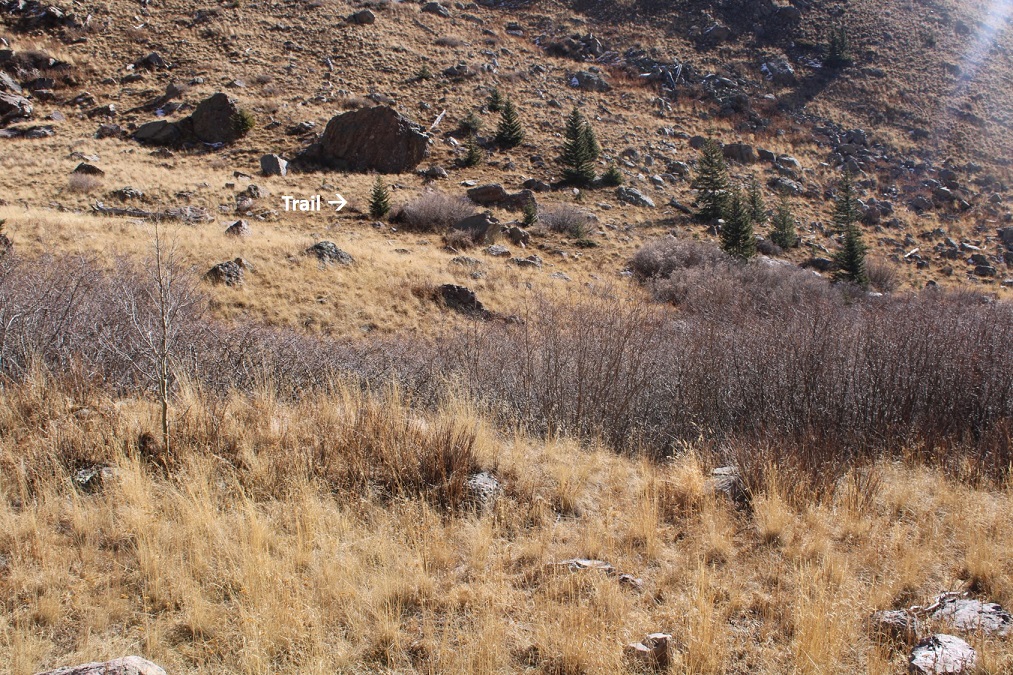
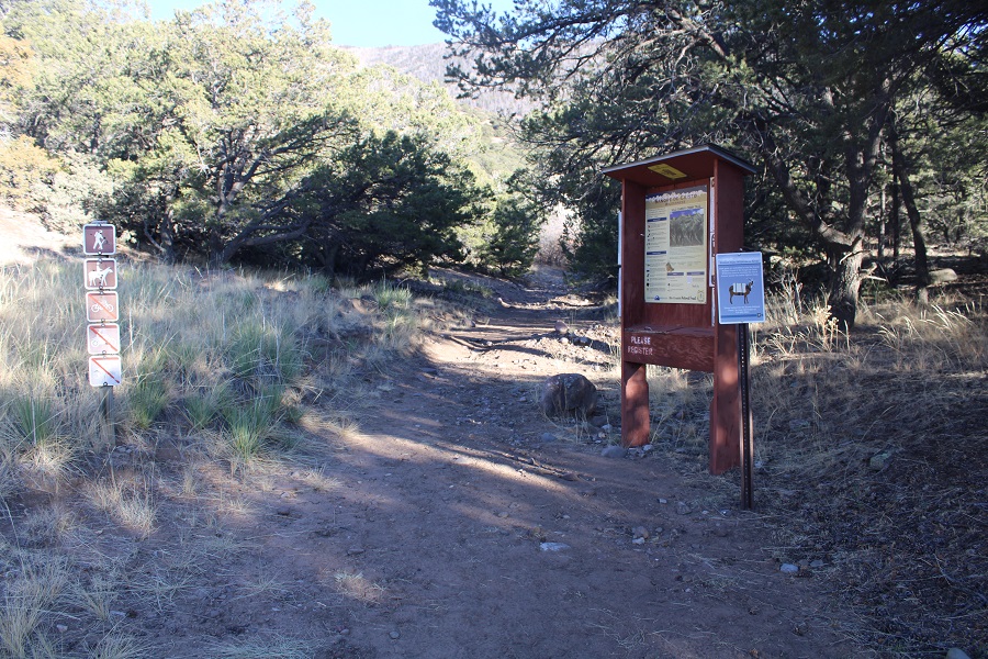
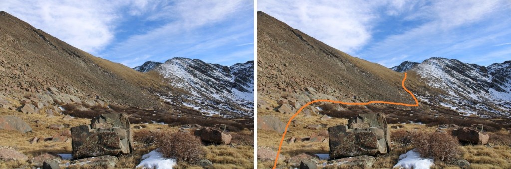
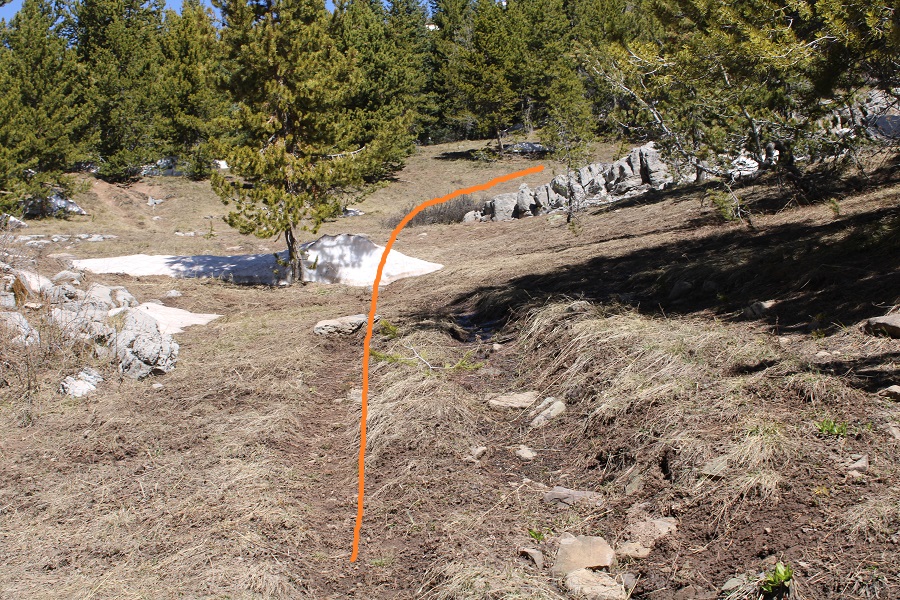
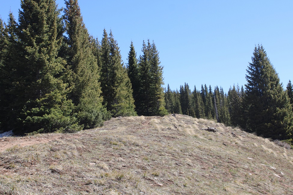
After hiking along the road for 1 mile, when I saw this sign to my left, I headed north through the trees (I turned right)

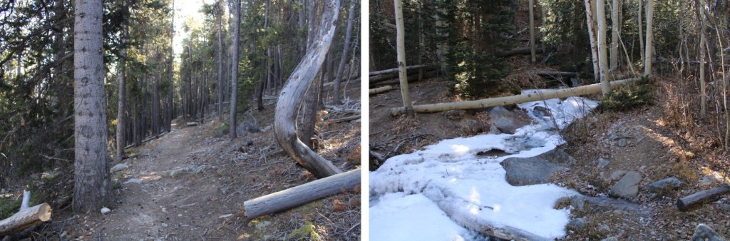
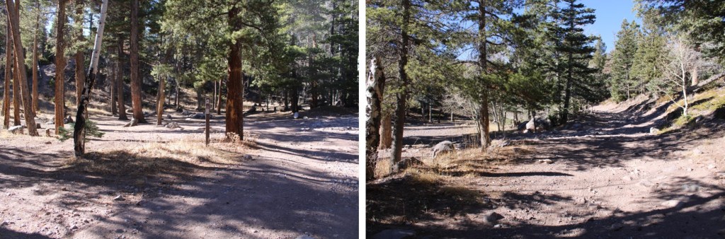
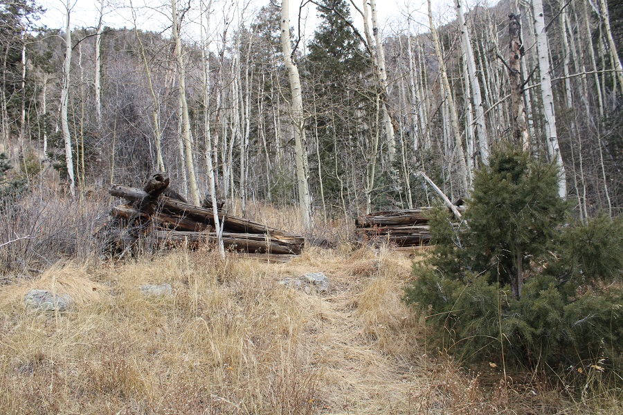
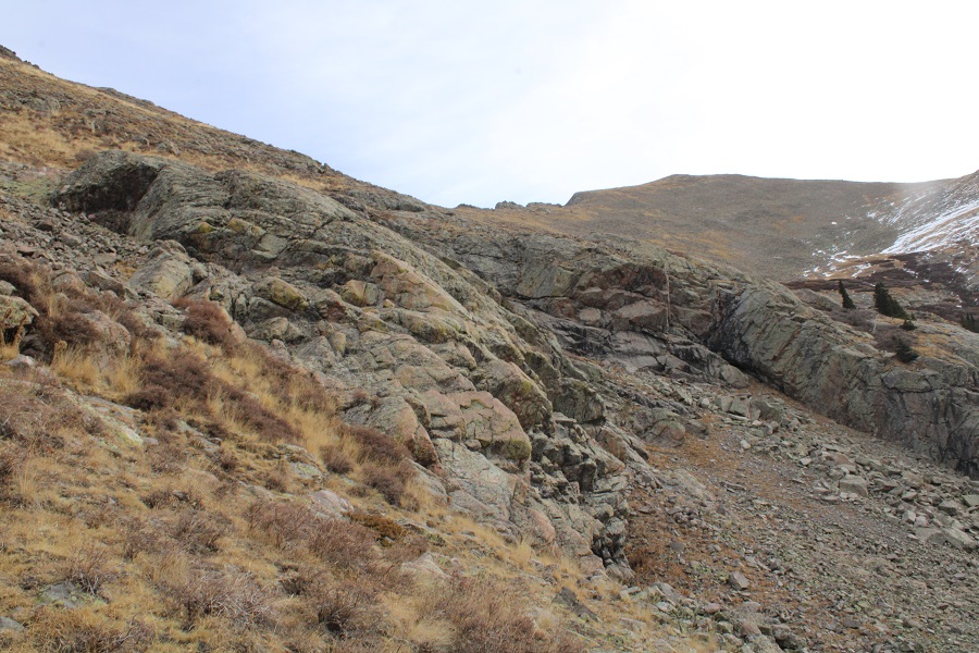
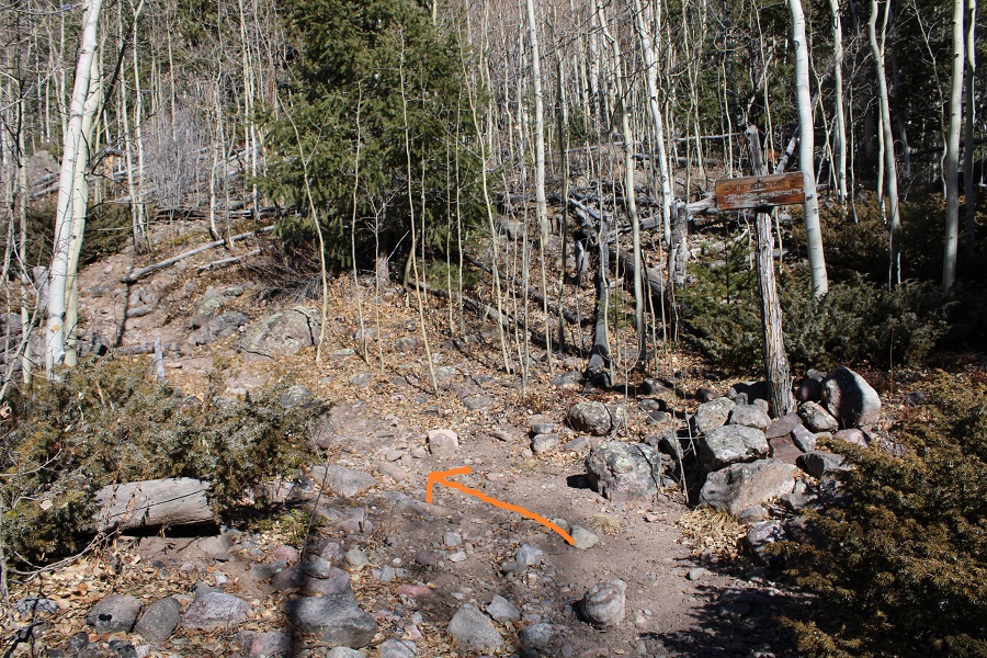
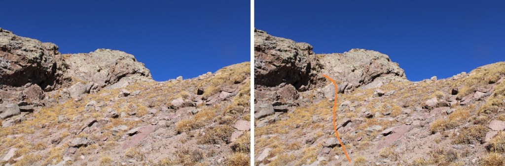
I came to a low and large outcropping of boulders, and turned right again
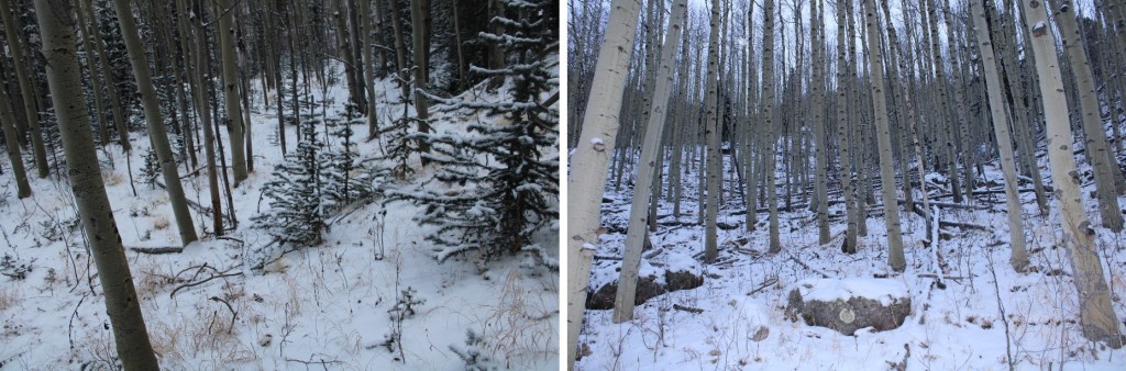
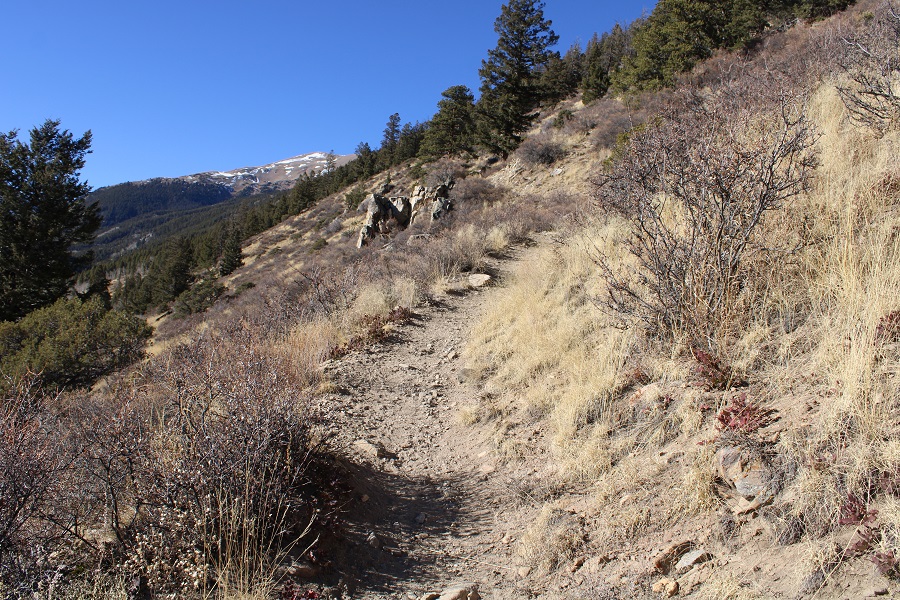
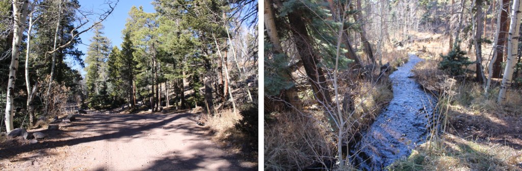
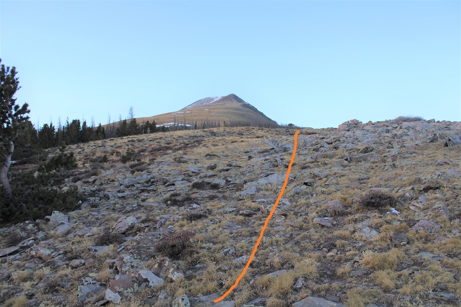
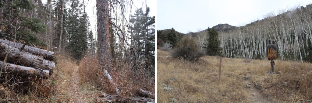
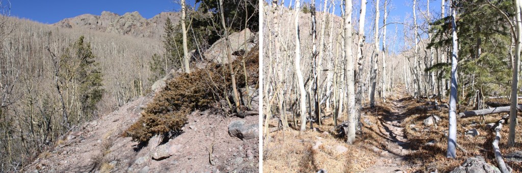
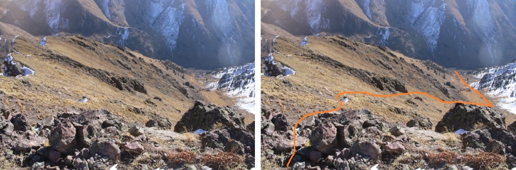
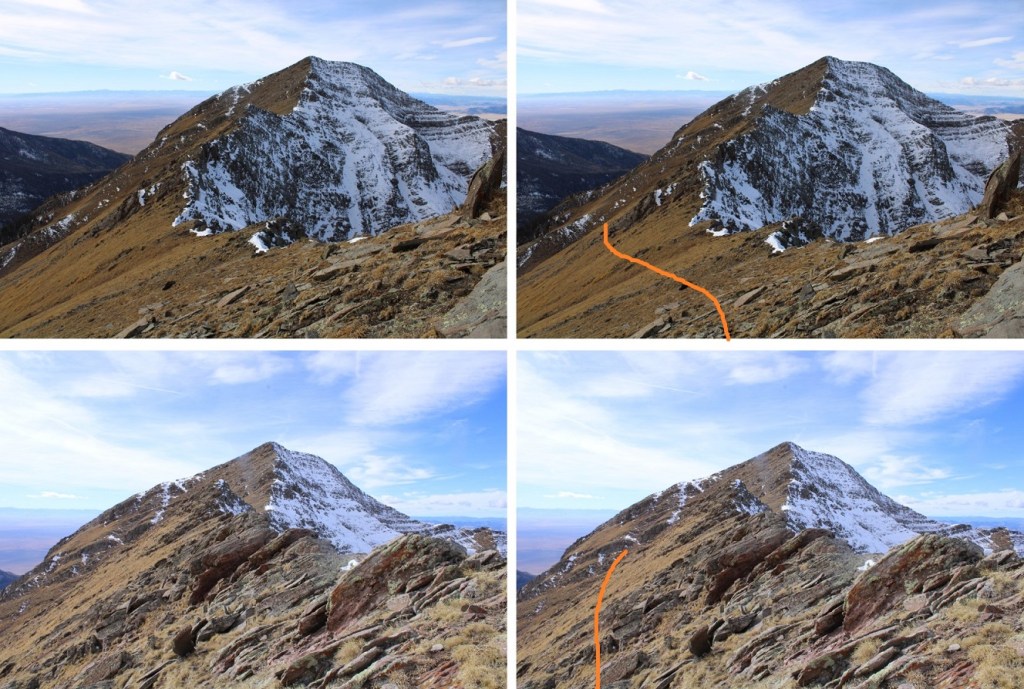
I then followed the ridge northeast
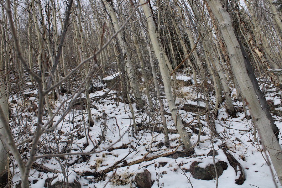
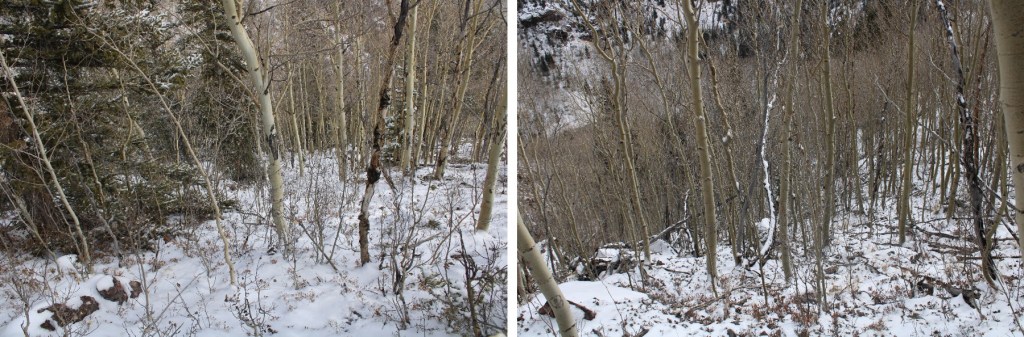
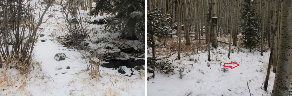
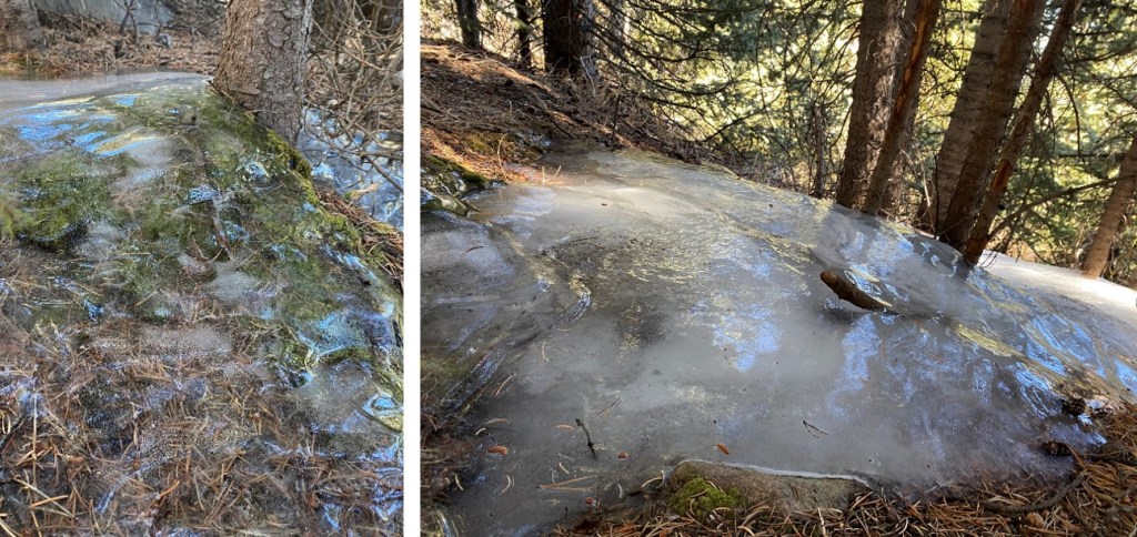
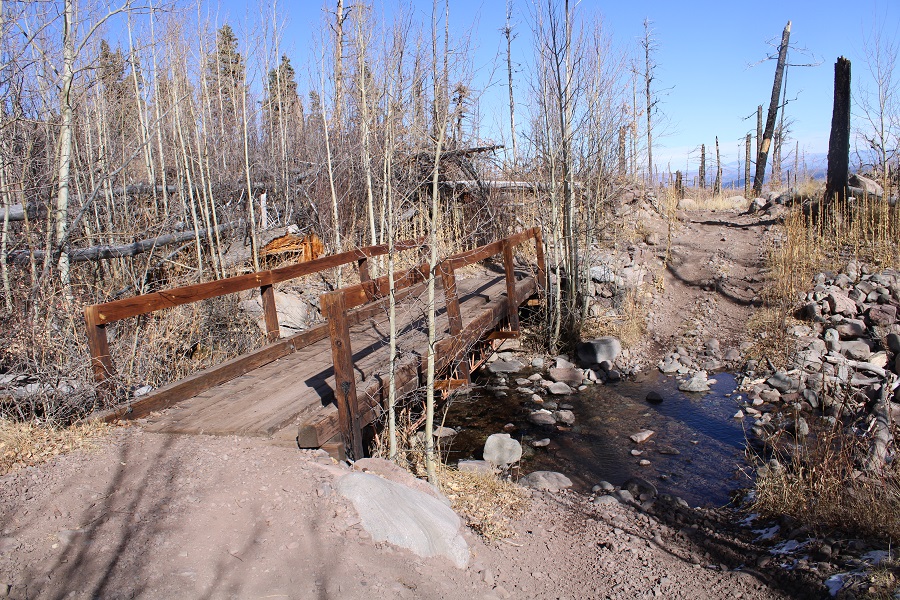
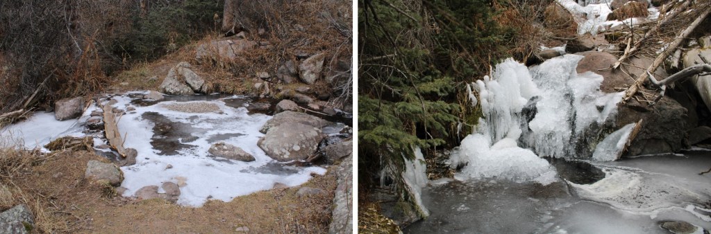
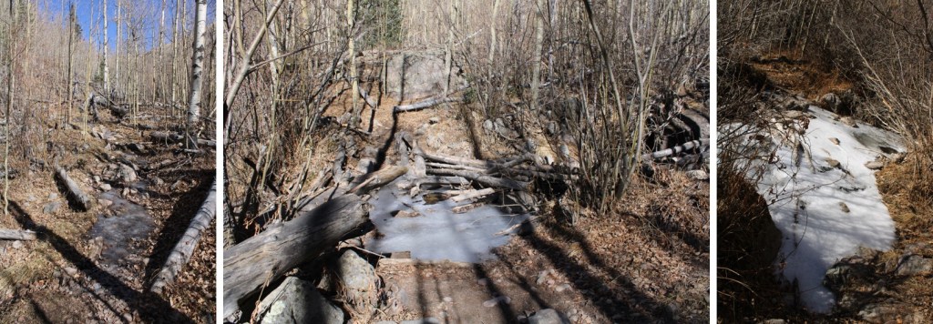
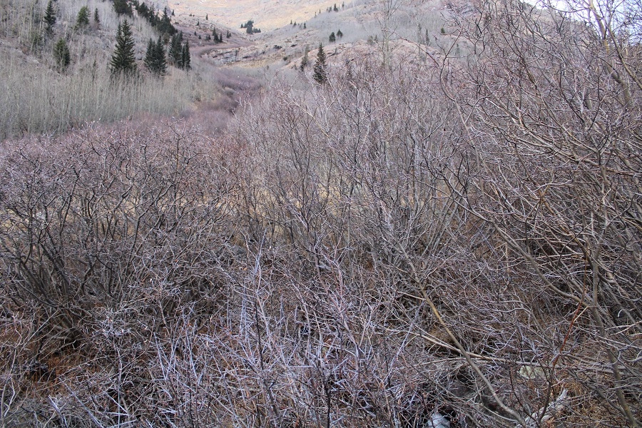
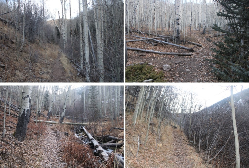
I crossed a small creek, and continued heading northeast.

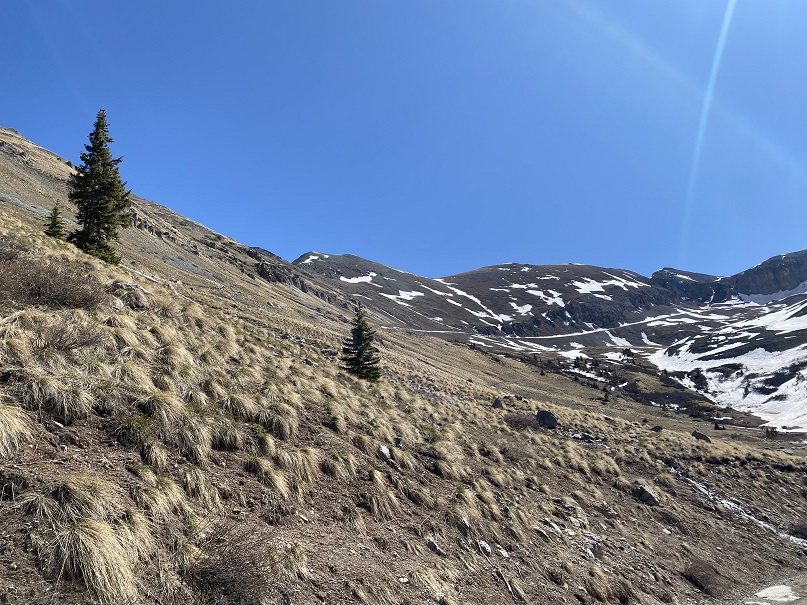
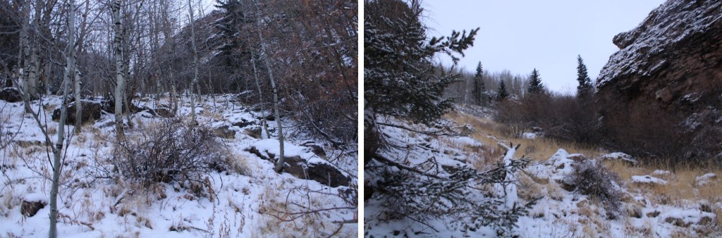
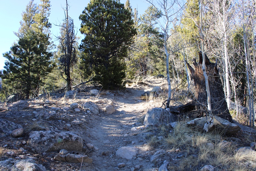
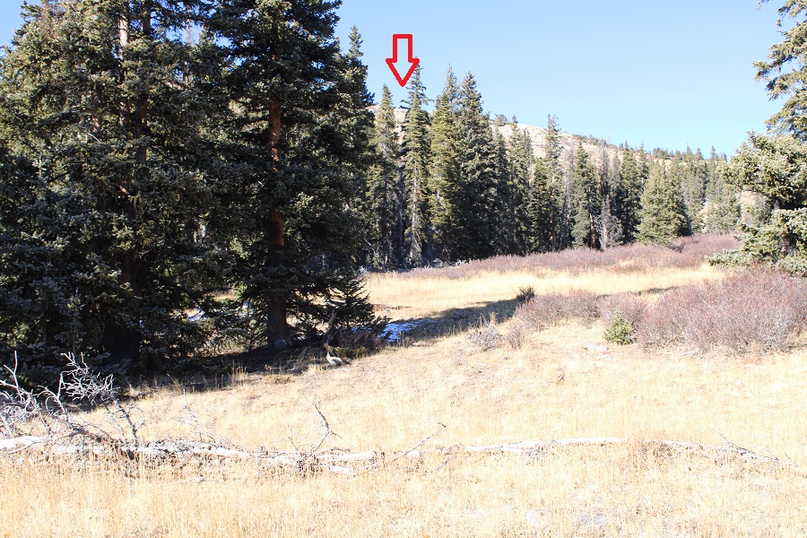
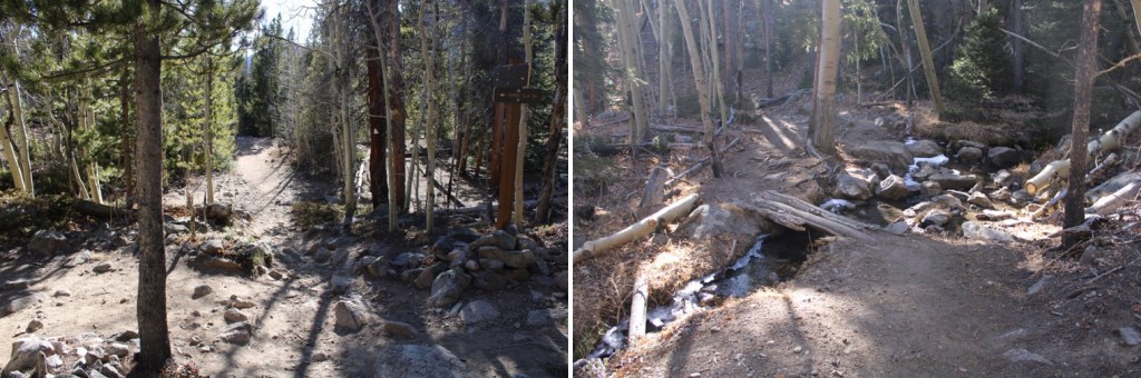
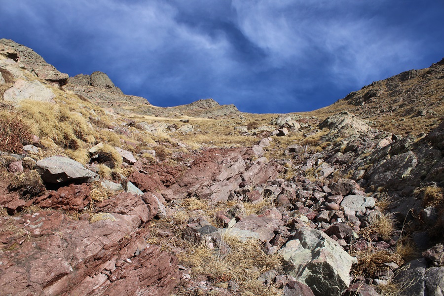
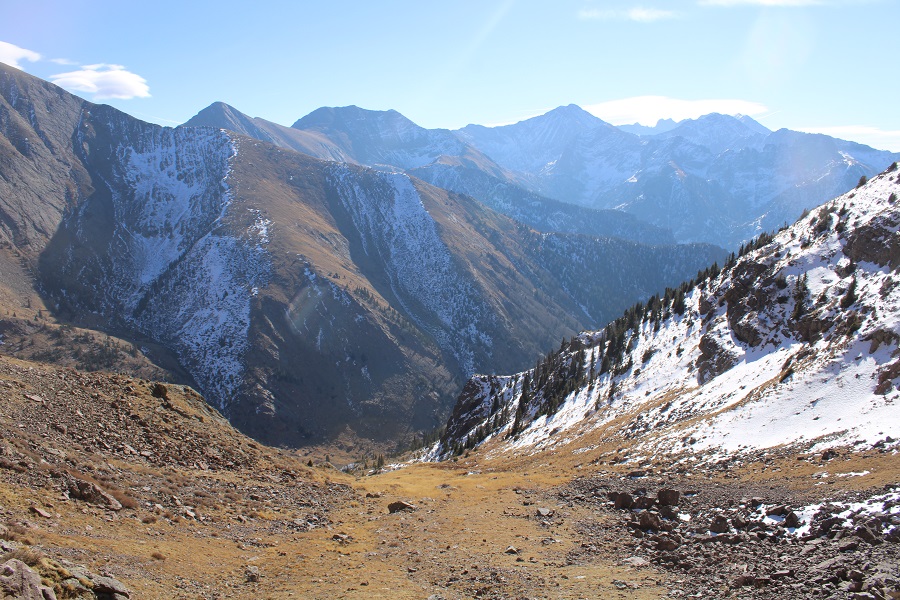
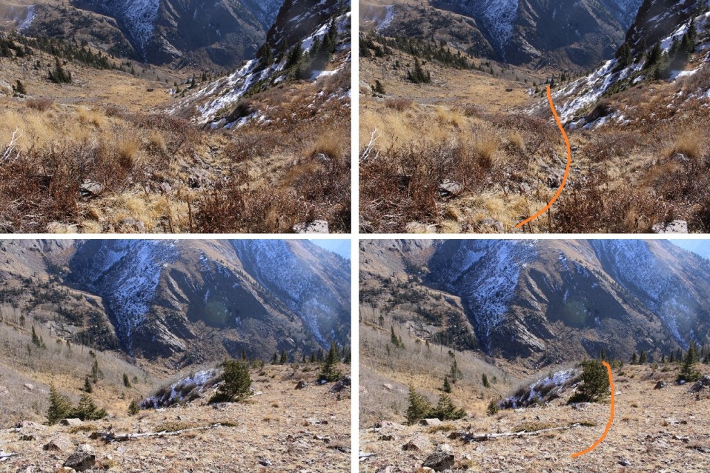
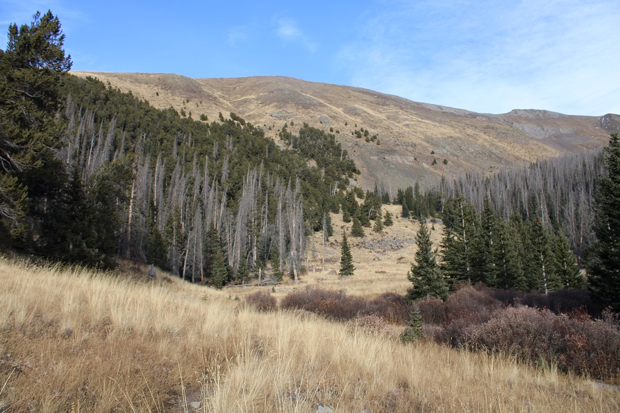
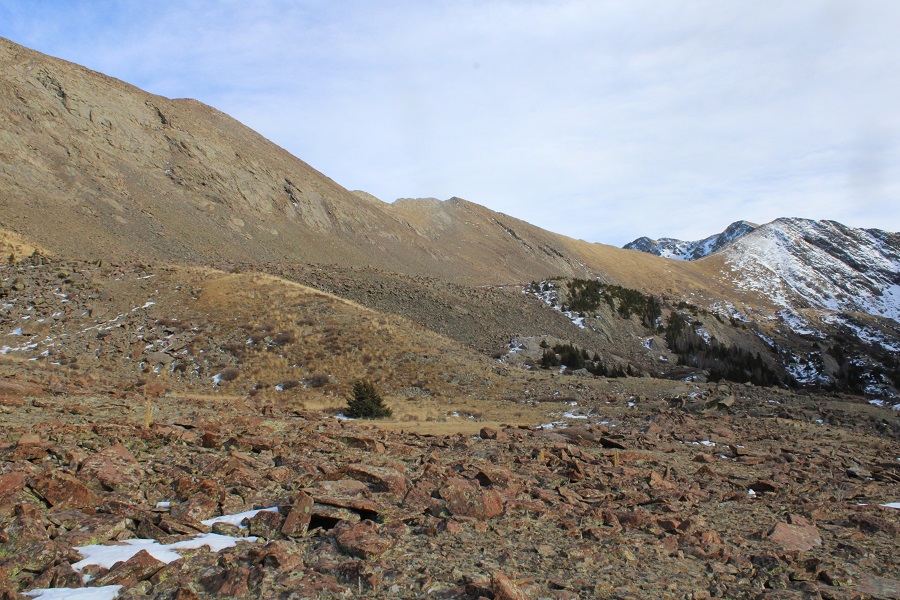
There were game trails in the area, and I followed them when I could, but mostly, I kept heading northeast, towards a large creek (crossing a smaller one in the process).
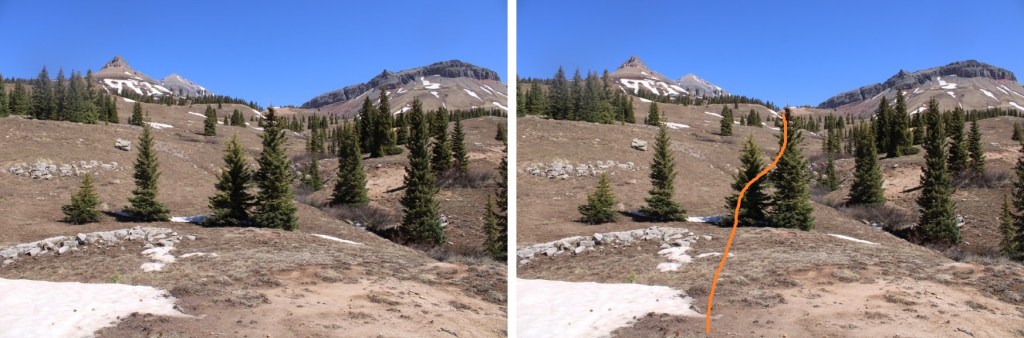
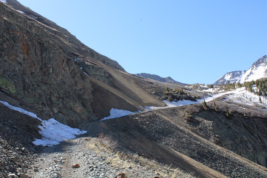
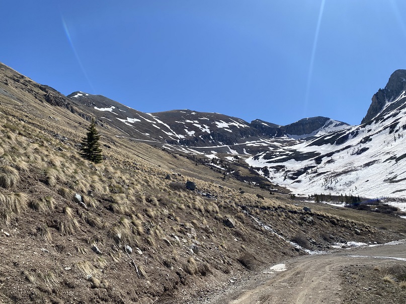
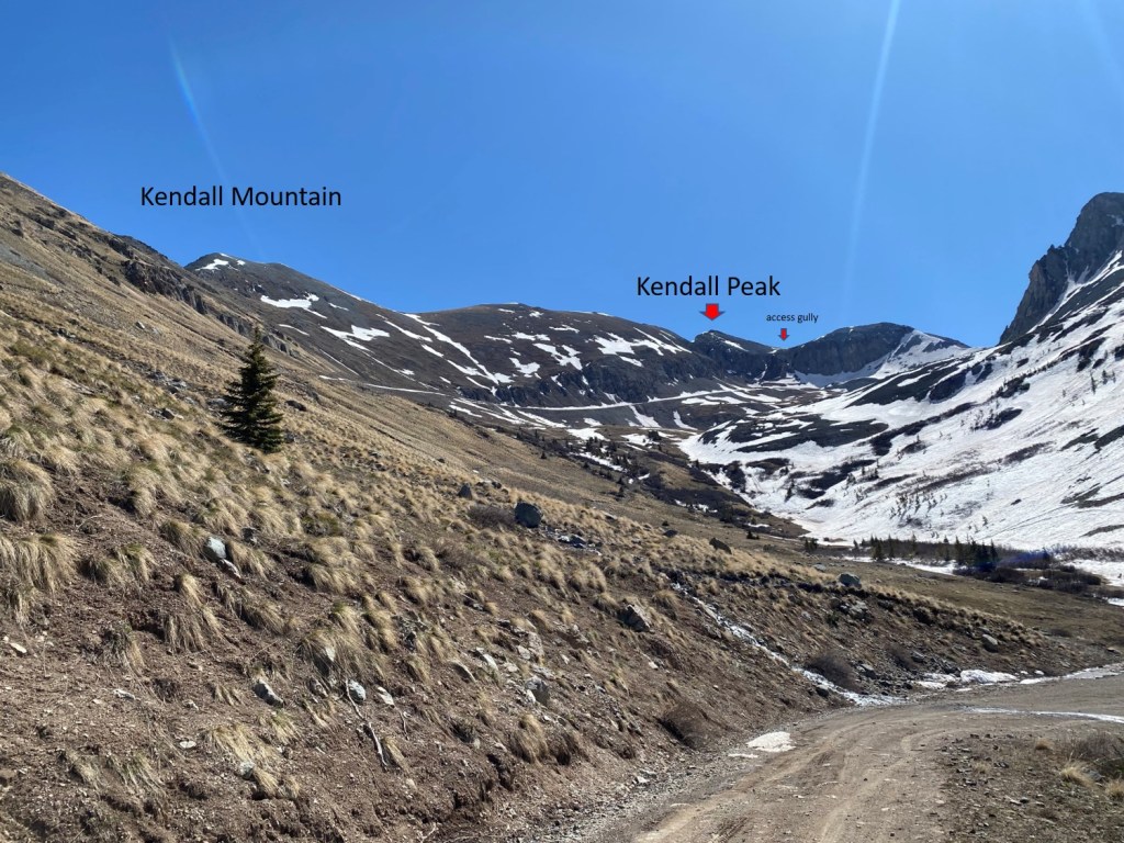
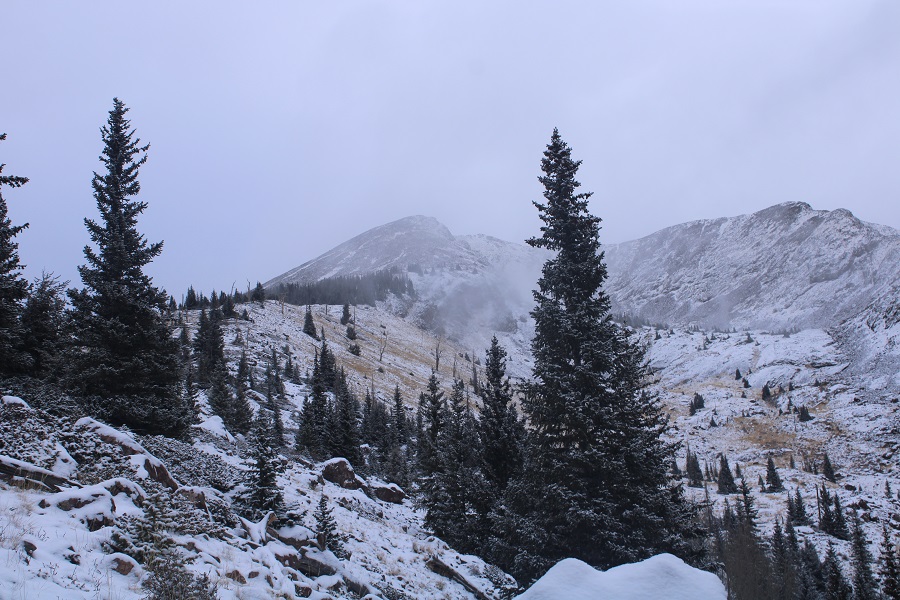
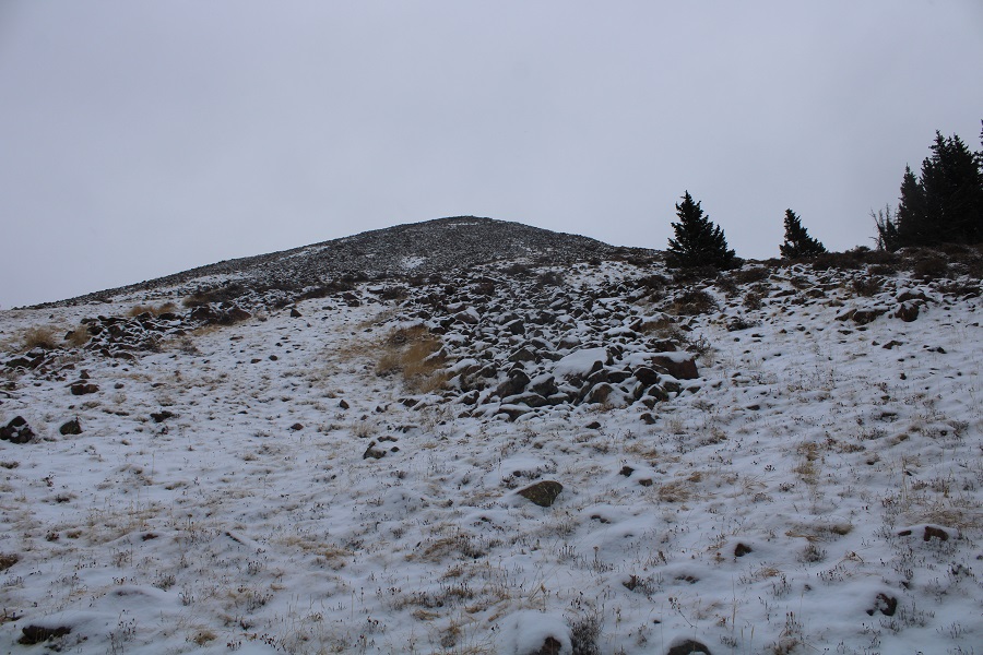
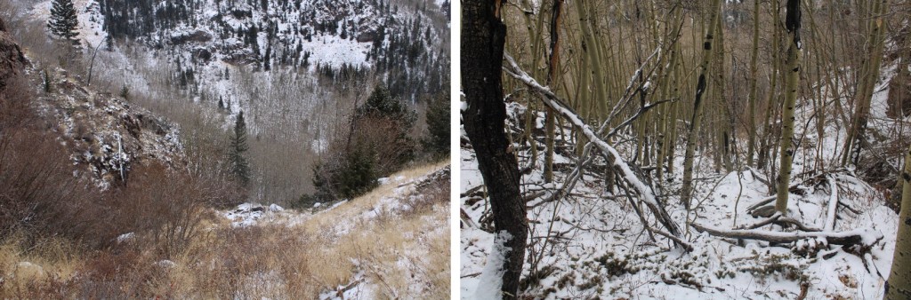
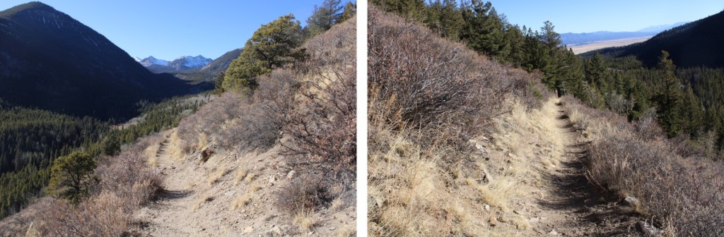
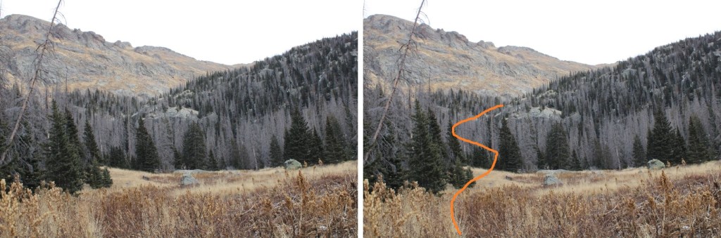
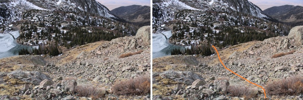
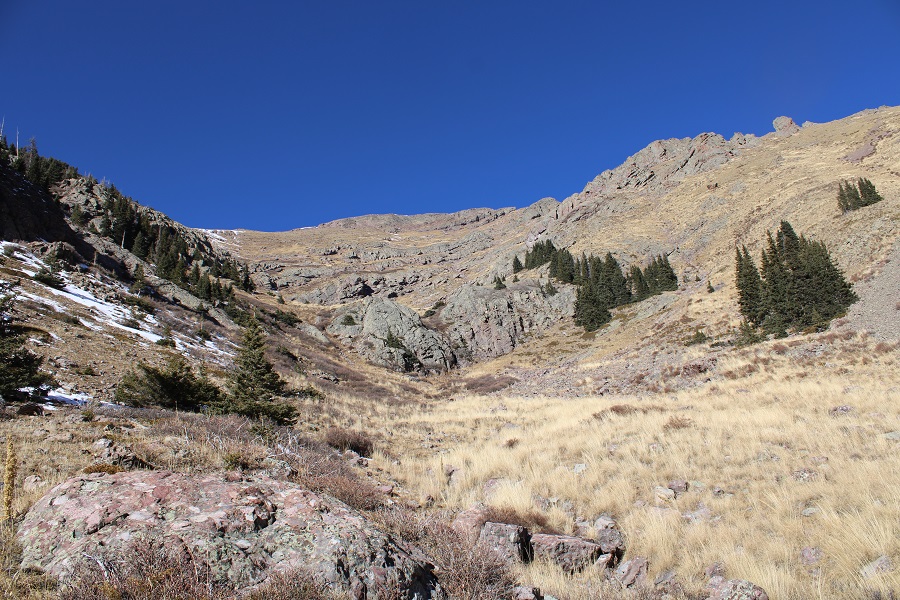
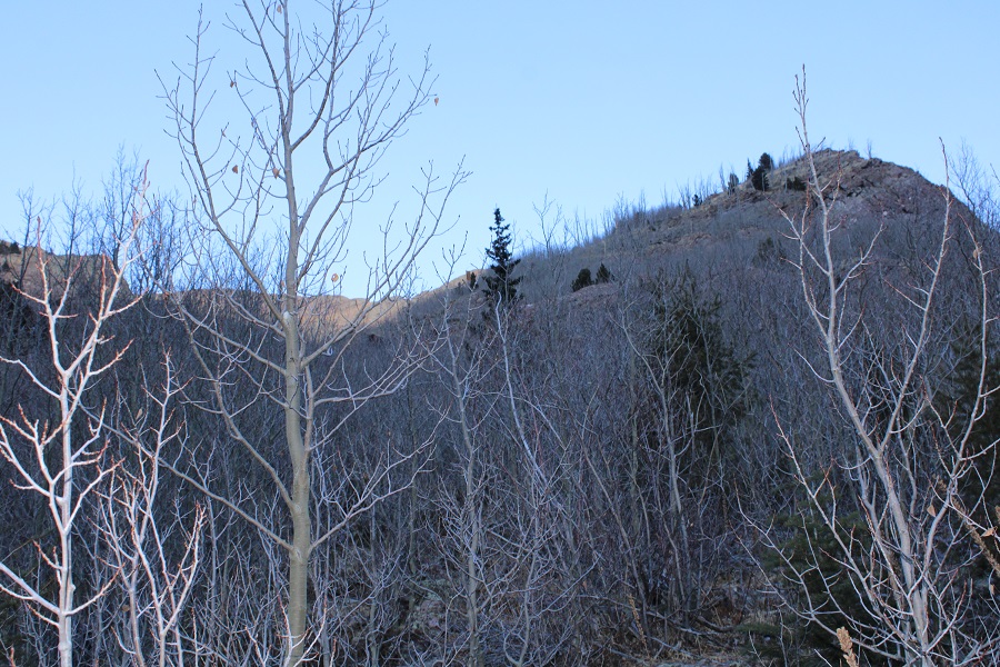
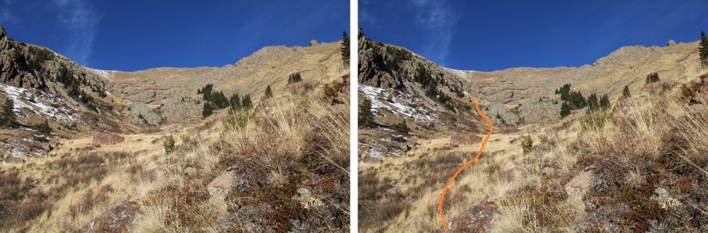
As I was hiking, I could see the gully I’d eventually need to ascend. I kept heading towards it.

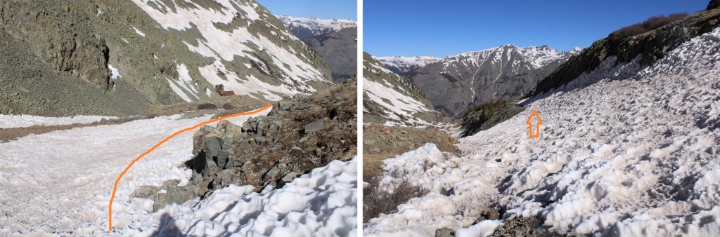
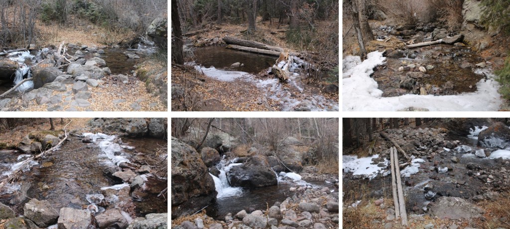
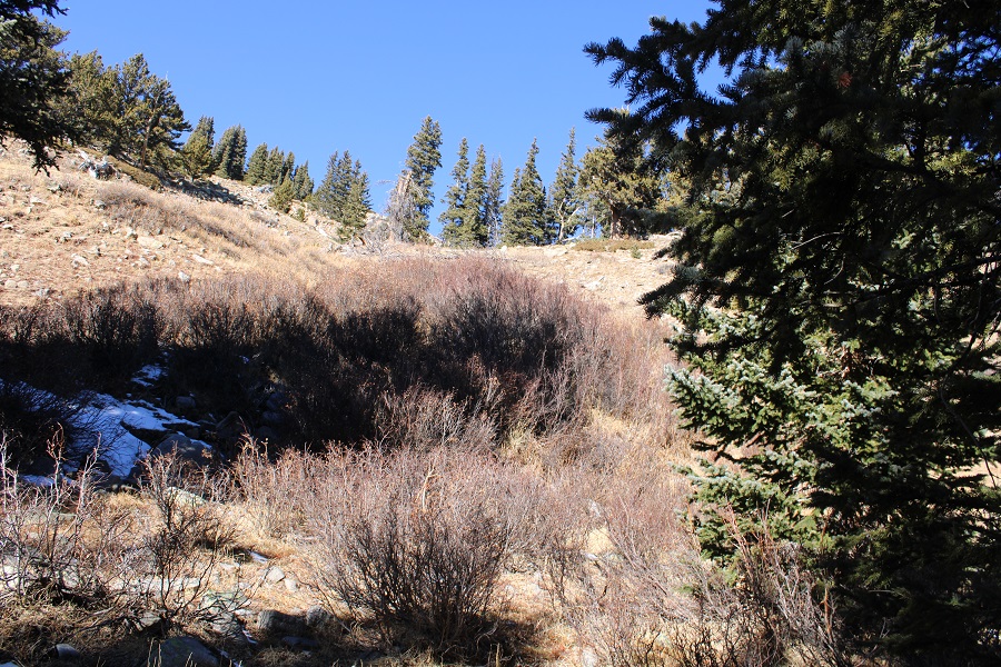
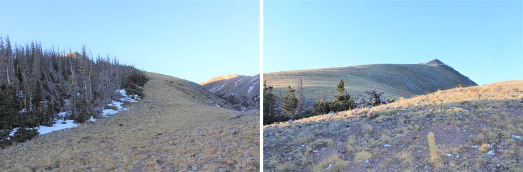
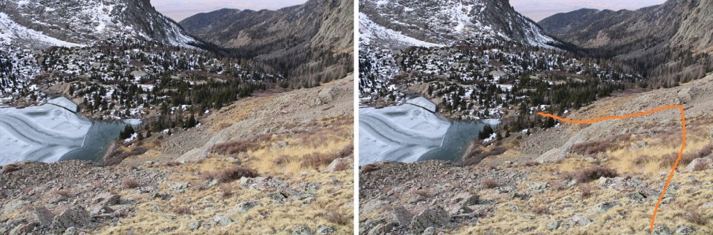
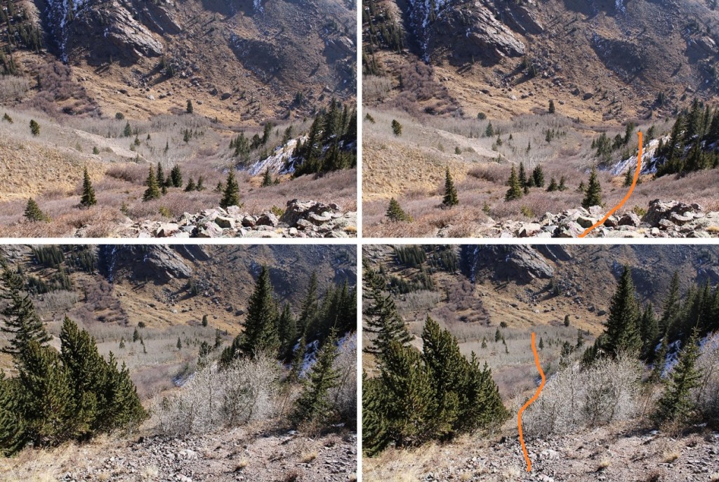
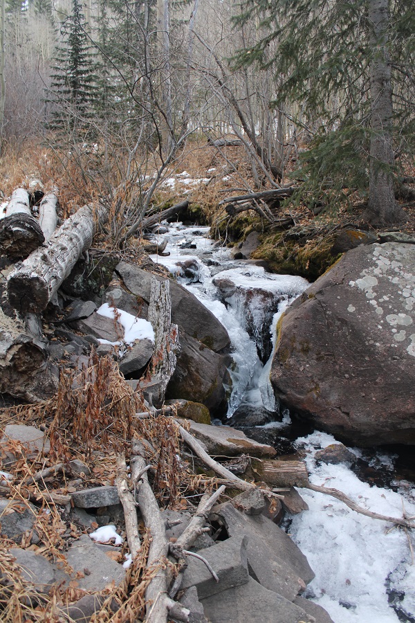
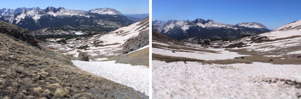
I came to a larger creek, and crossed it on a snow bridge. Then I stayed right and walked along a willow-lined plateau

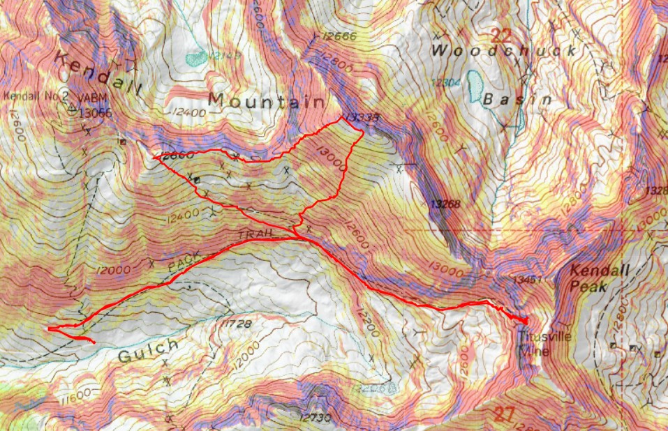
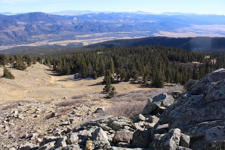
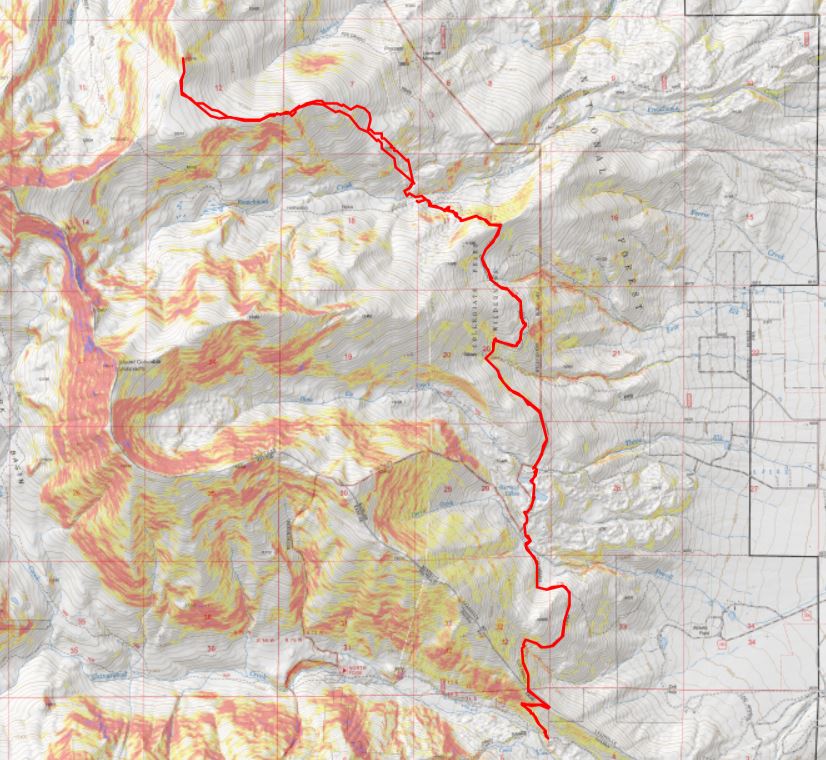
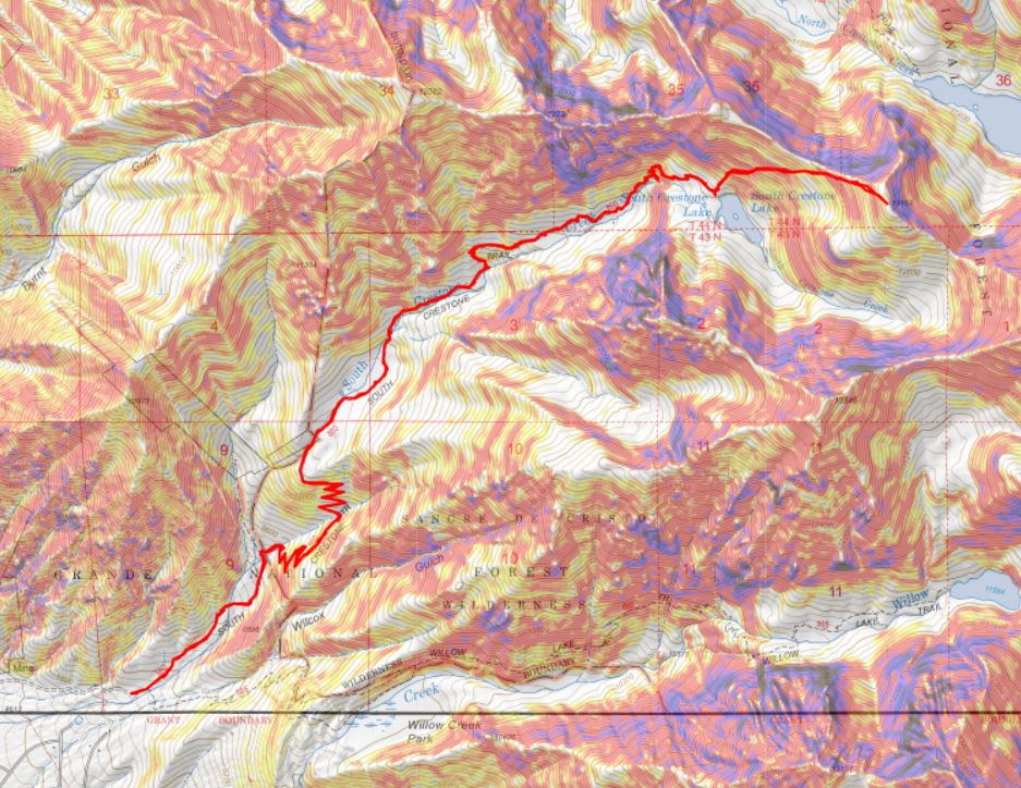
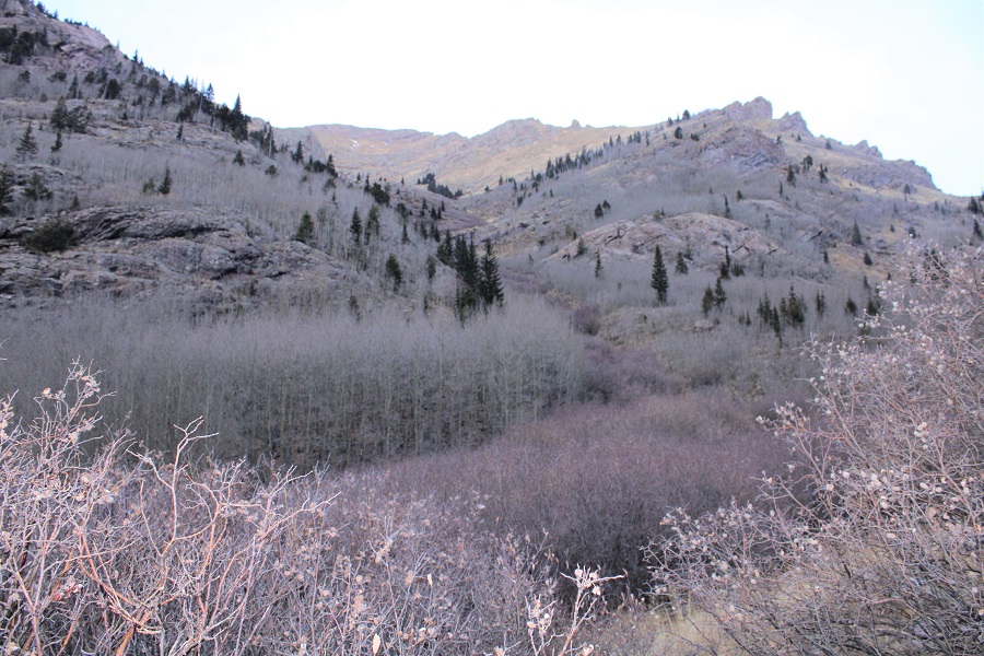
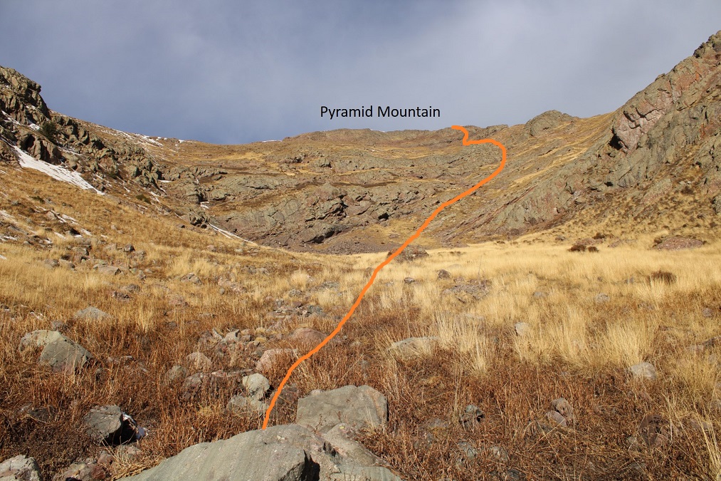
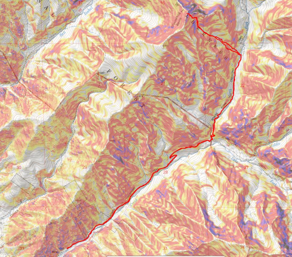
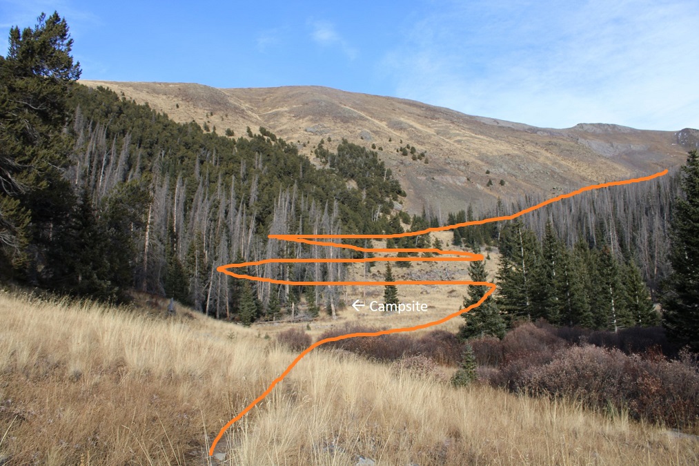
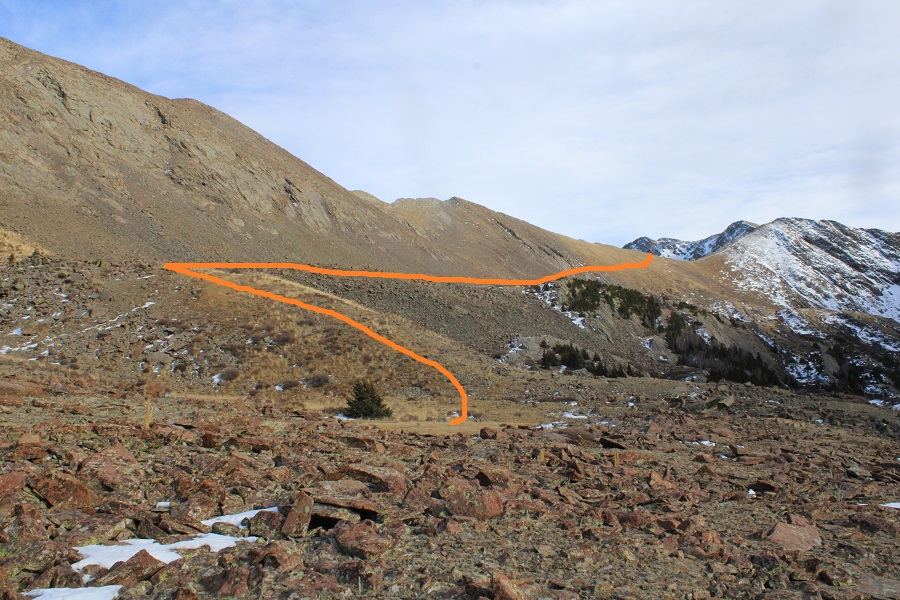
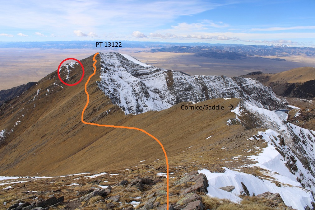
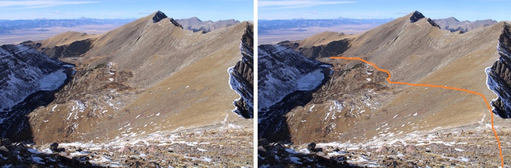
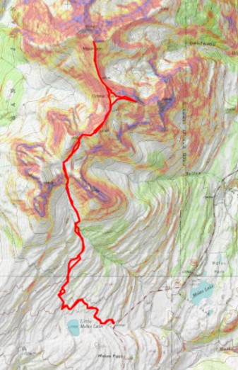
Here’s the overall route
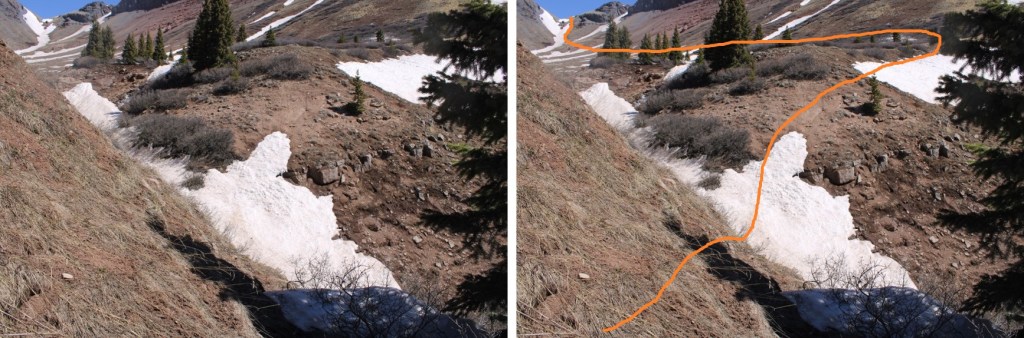
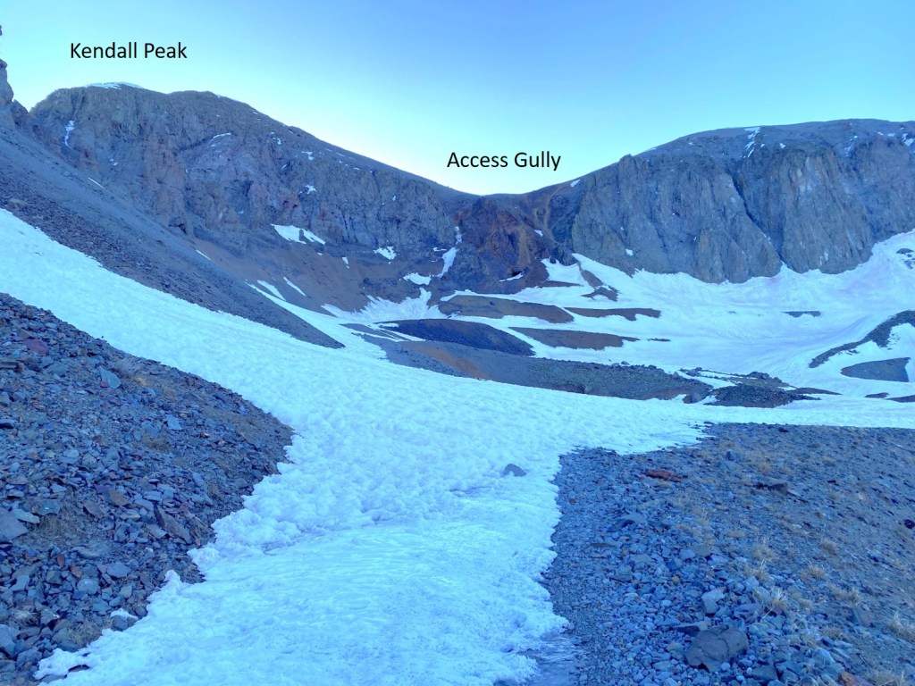
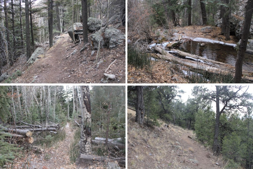
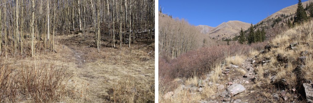
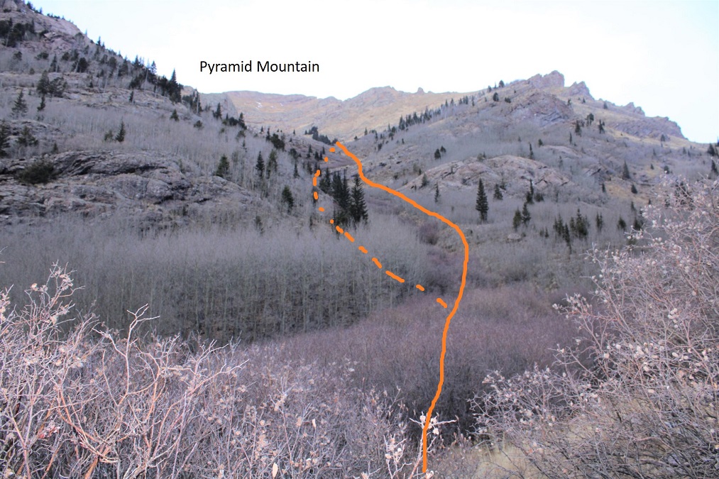
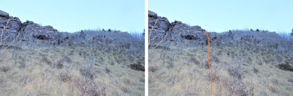
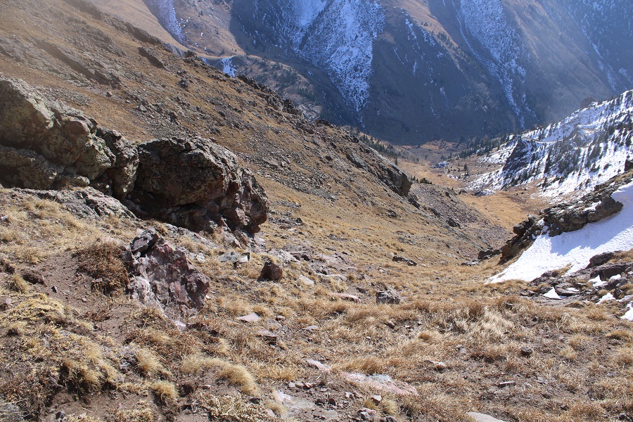
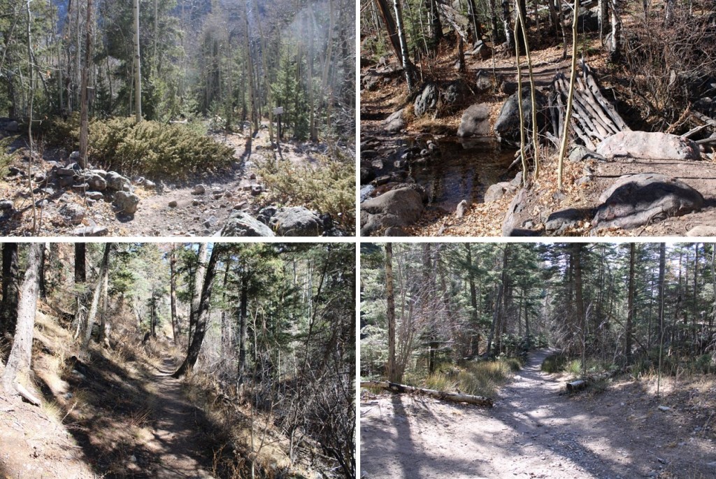
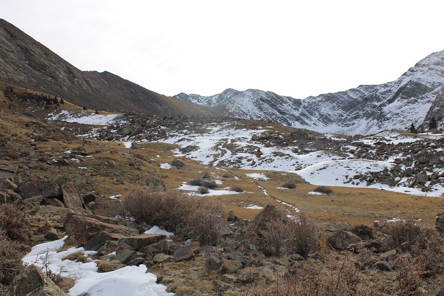
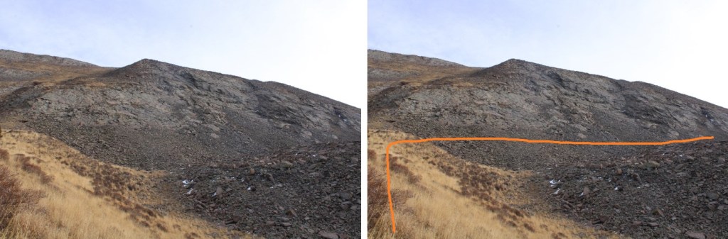
Once in the basin, I made my way toward the gully
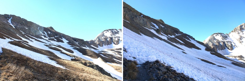
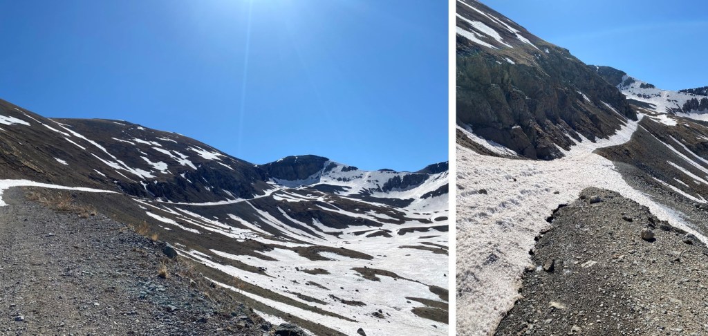
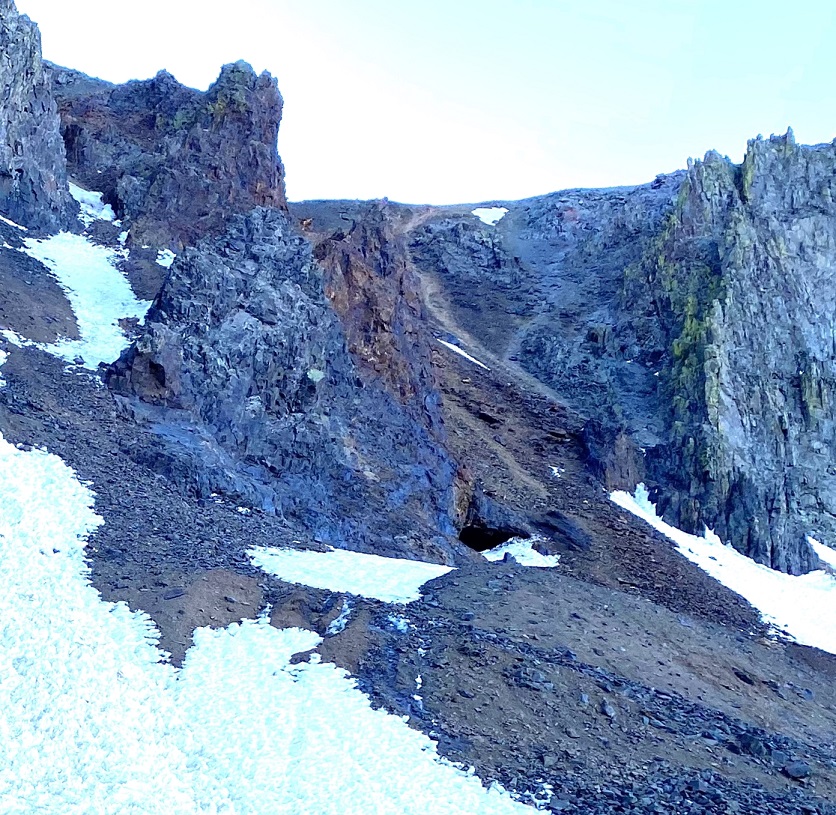
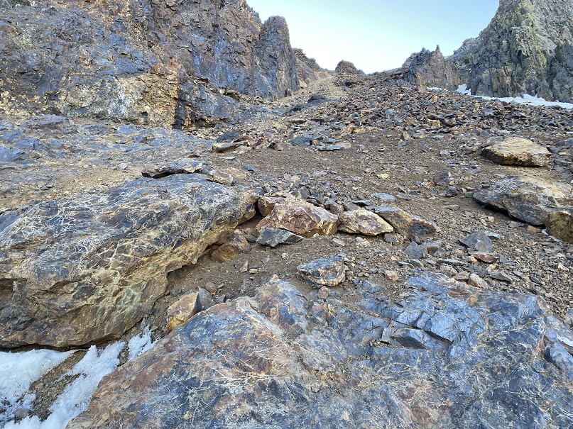
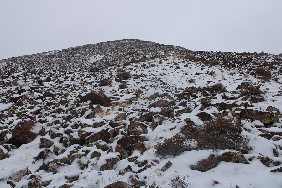
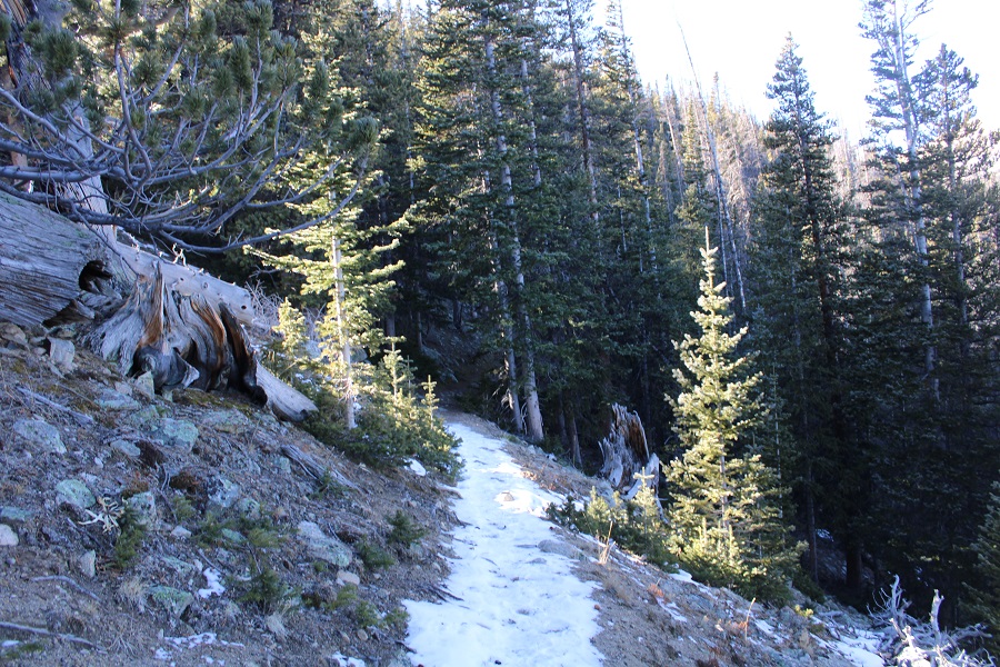
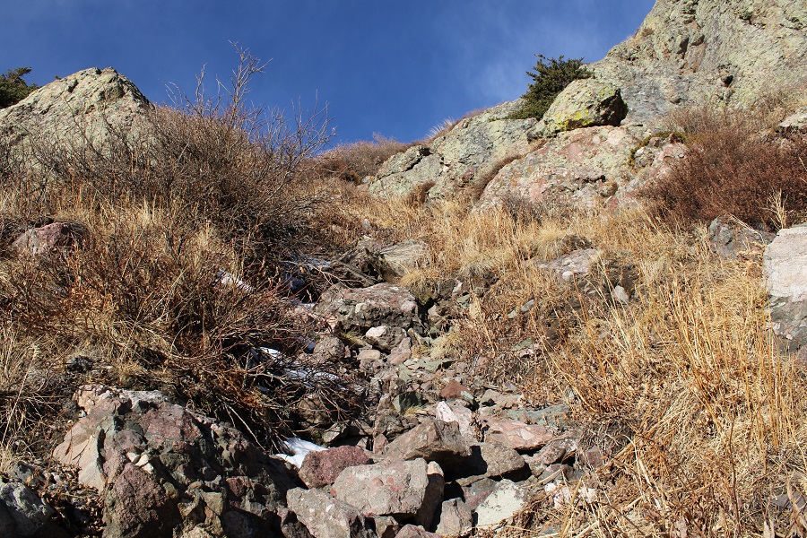
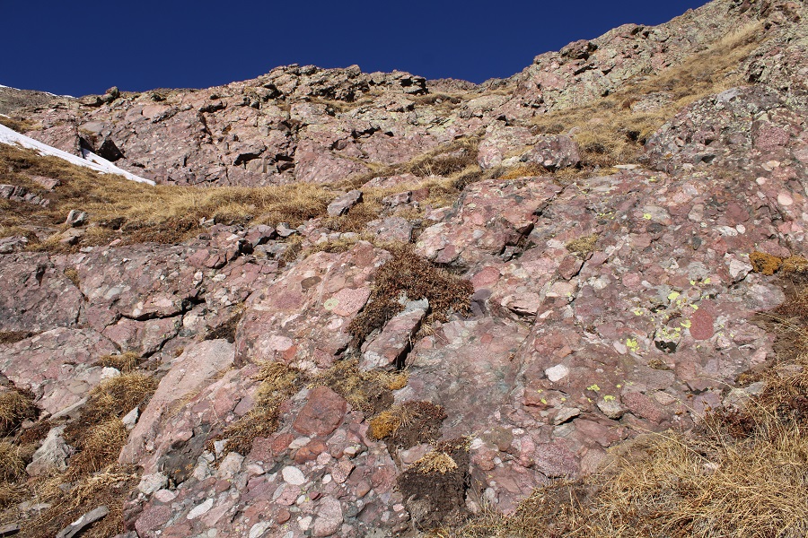
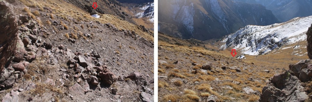
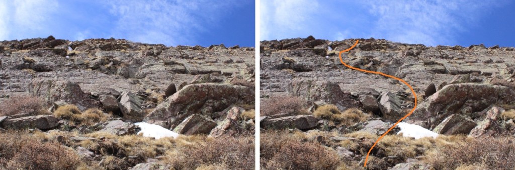
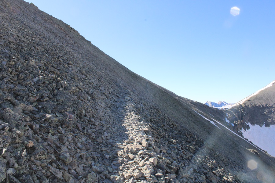
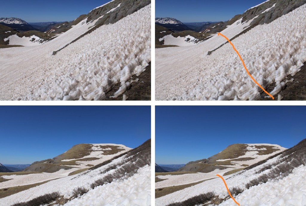
Today the gully was dry where I ascended, I was even able to pick up a trail towards the top.
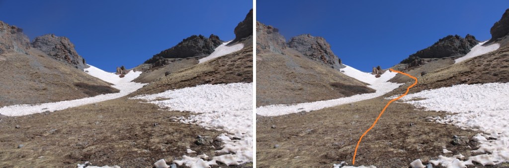
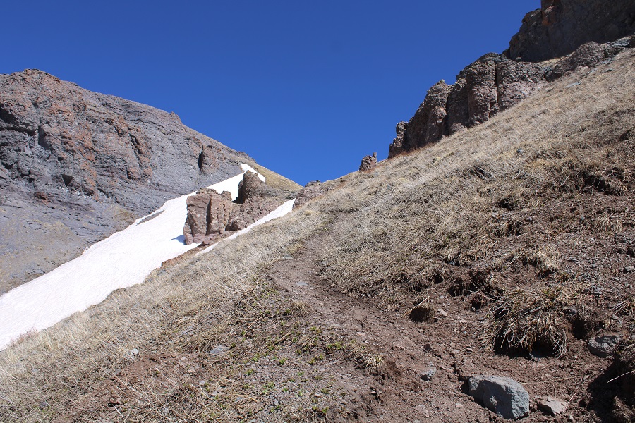
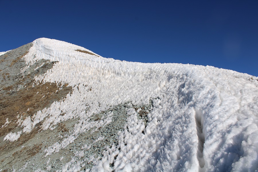
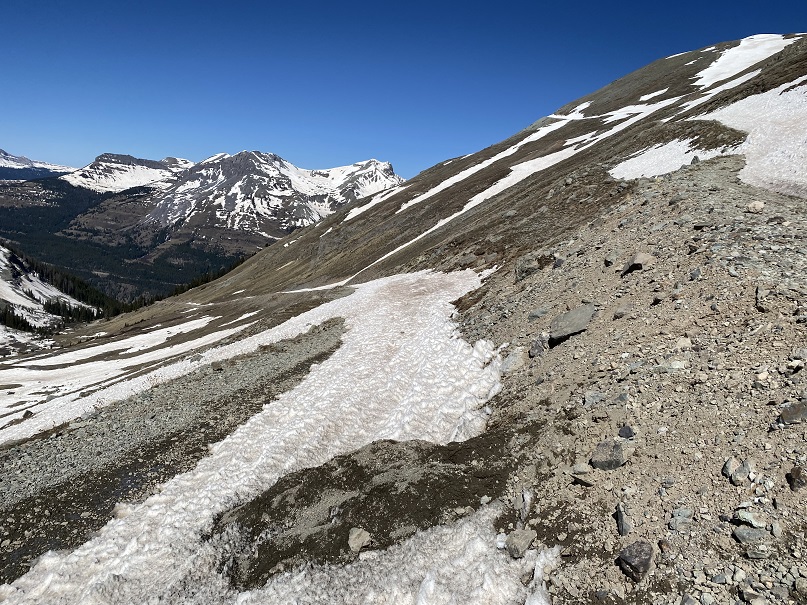
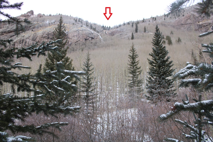
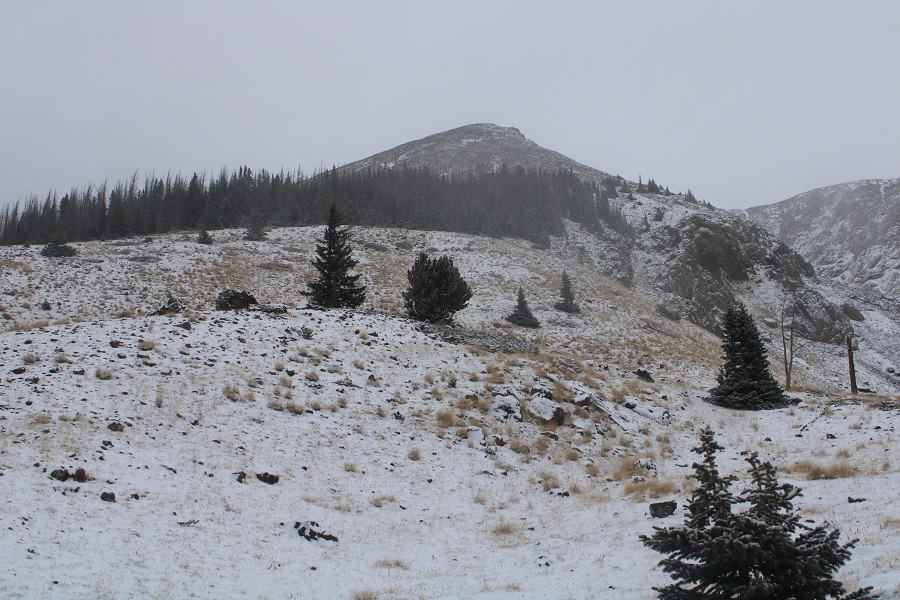
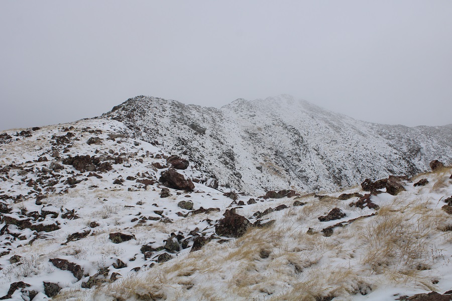
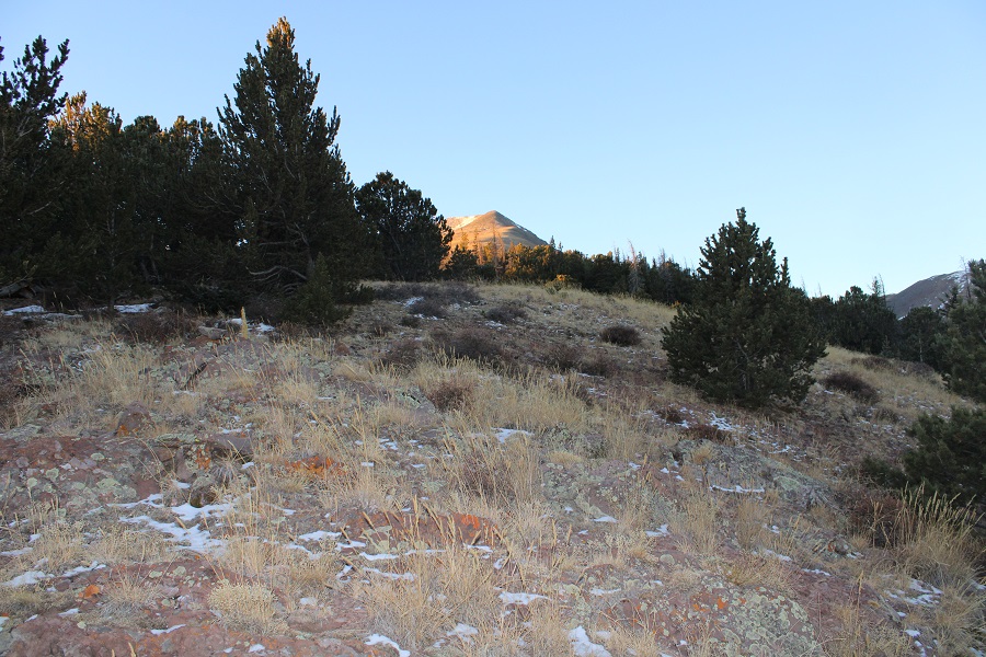
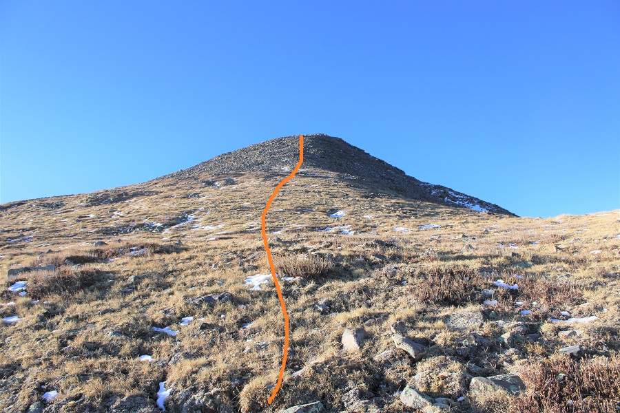
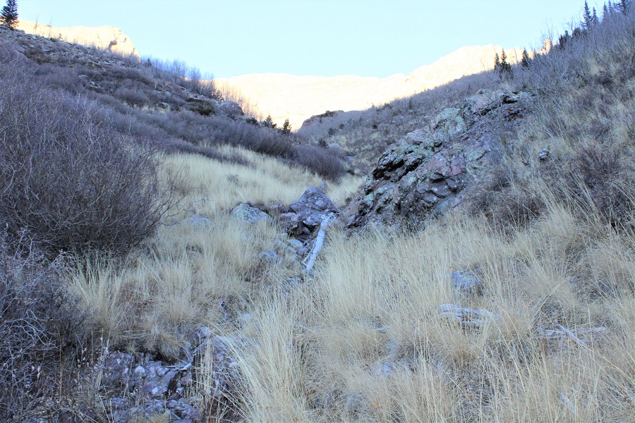
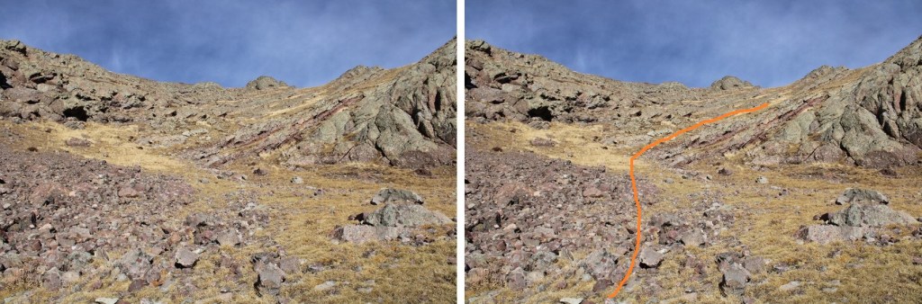
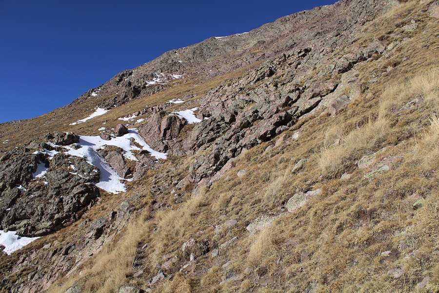
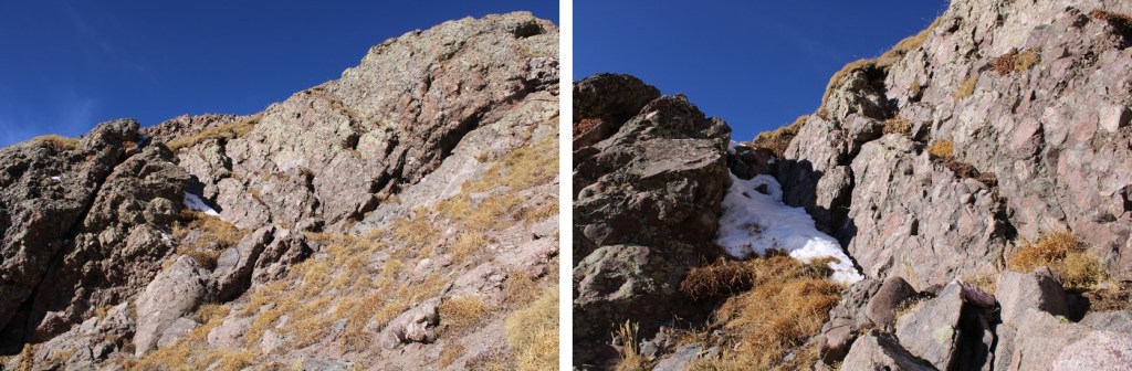
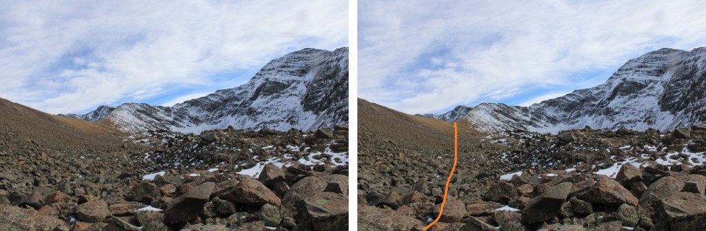
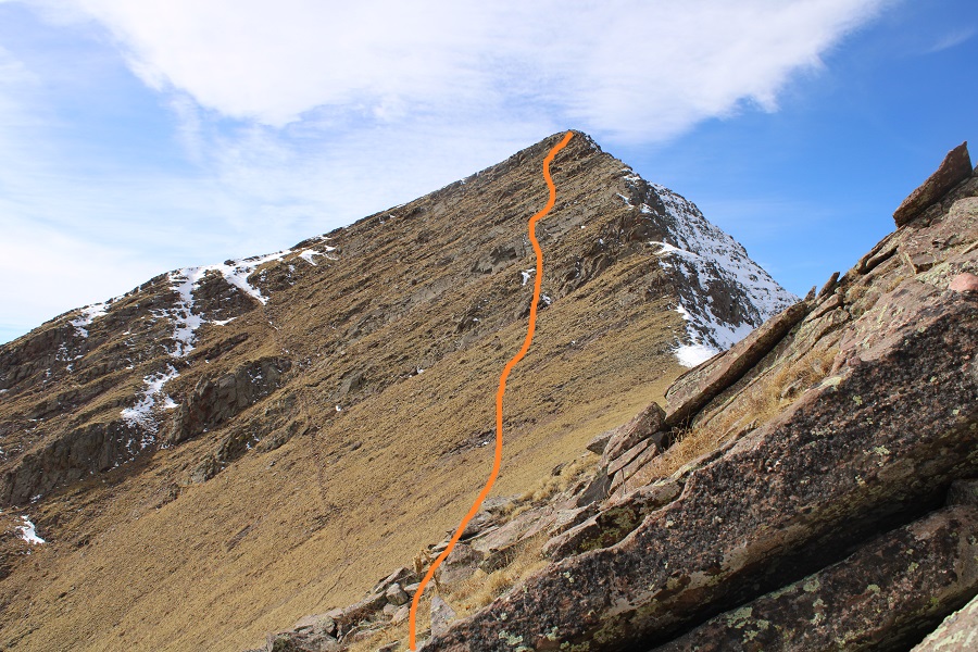
At the top of the gully the snow started, and I began heading northeast.

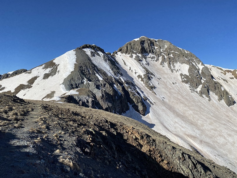
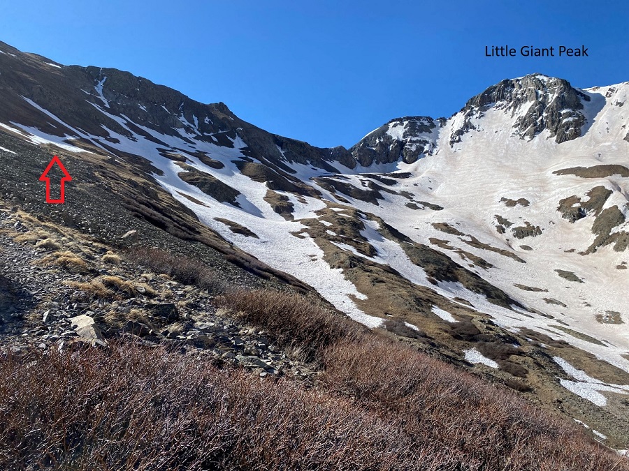
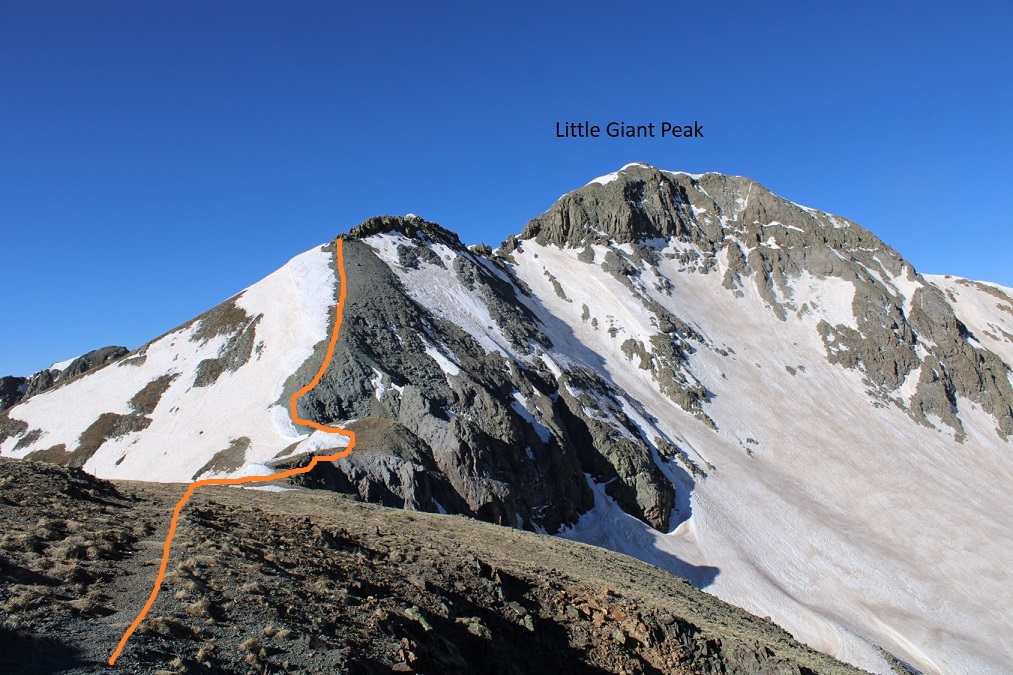
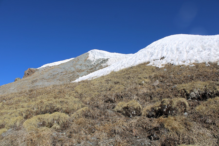
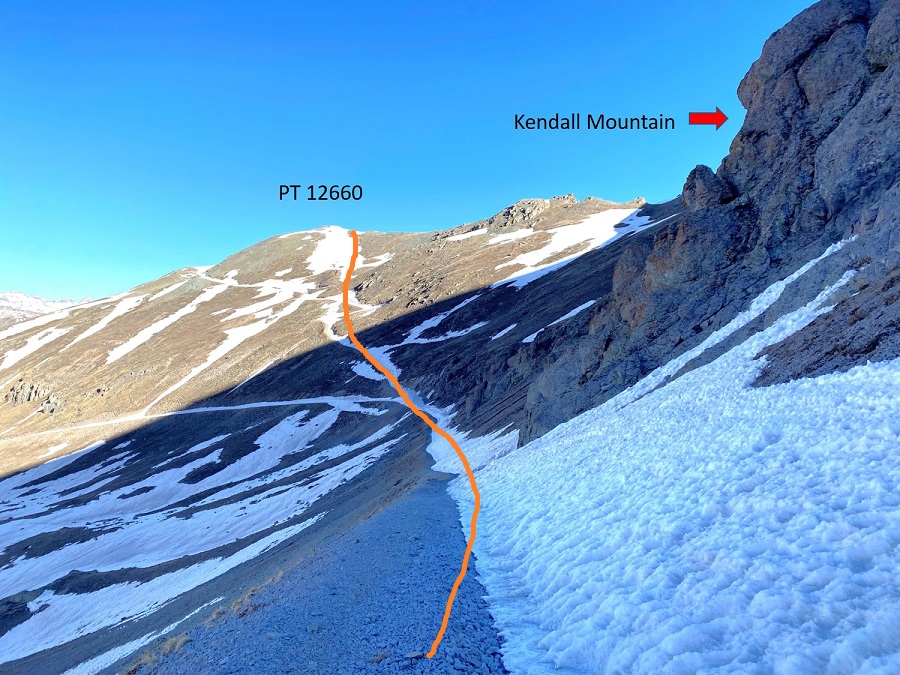
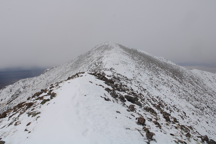
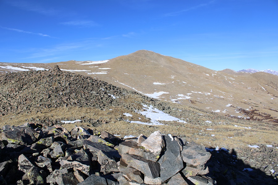
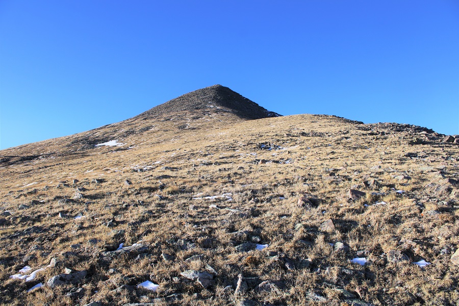
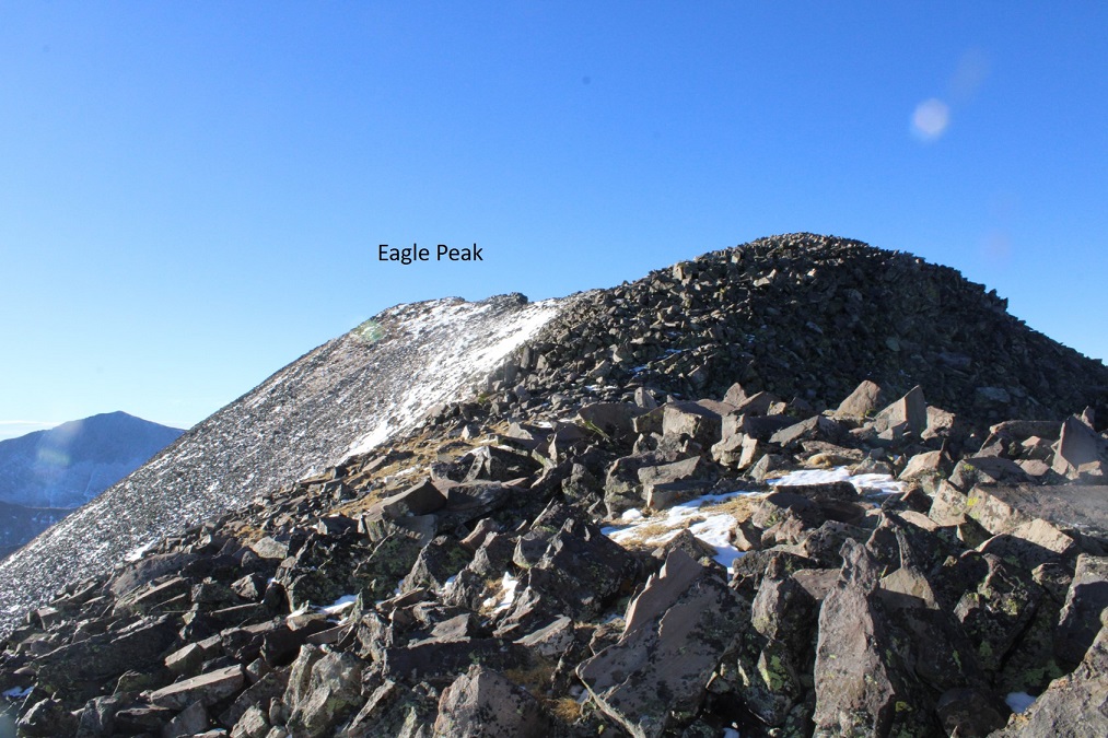
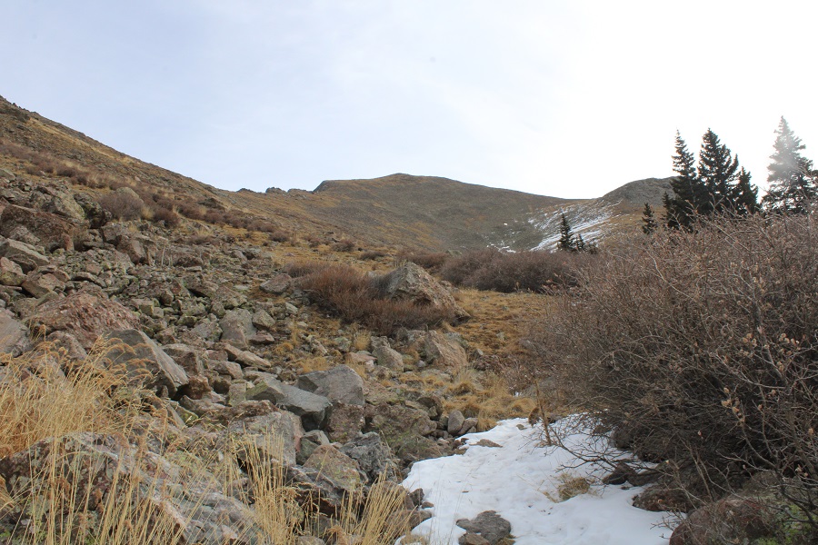
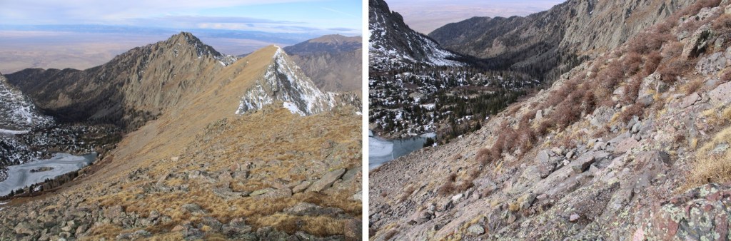
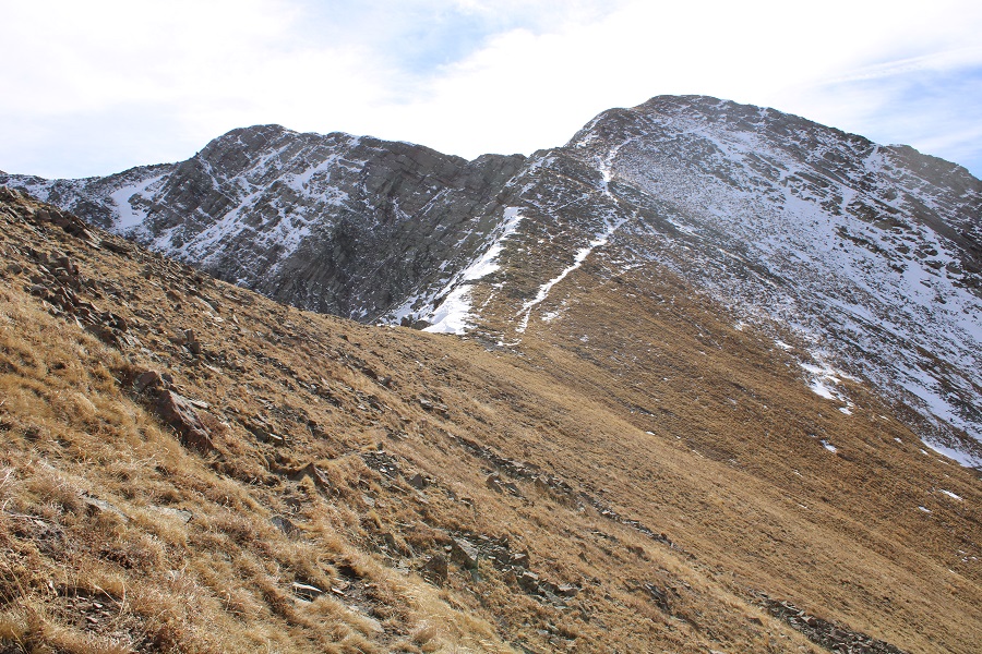
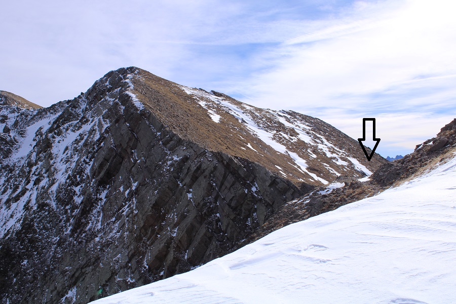
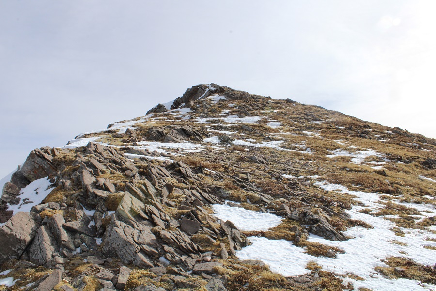
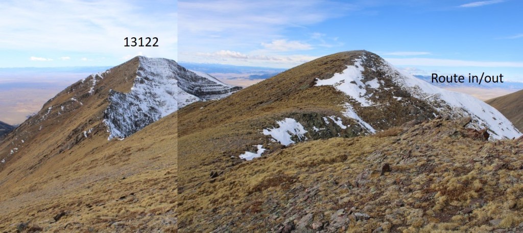
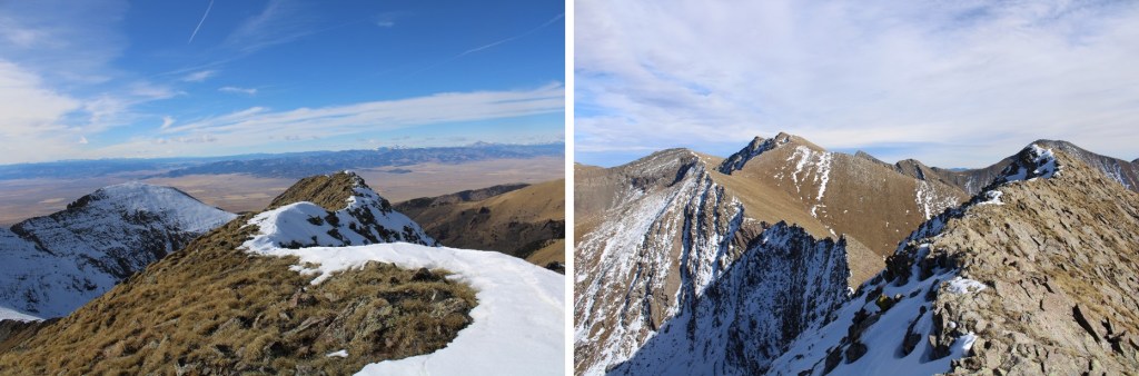
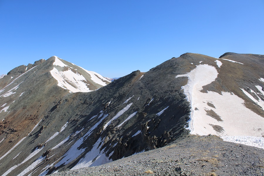
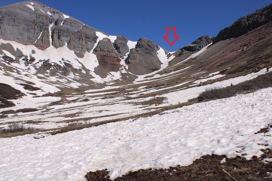
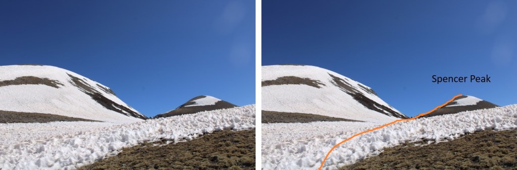
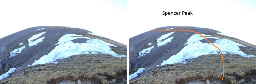
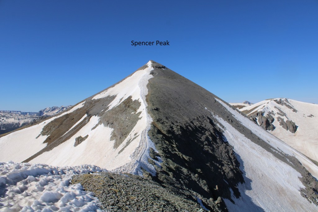
This is where I was headed, towards Spencer Peak
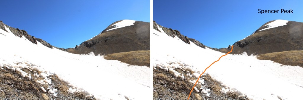

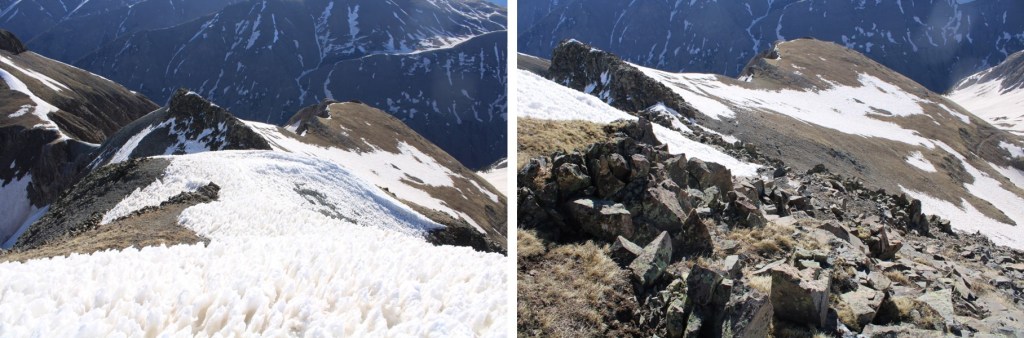
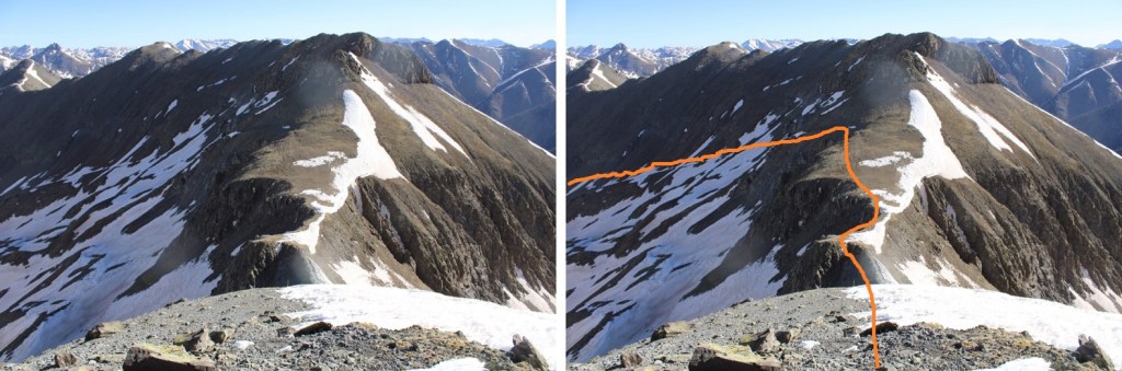
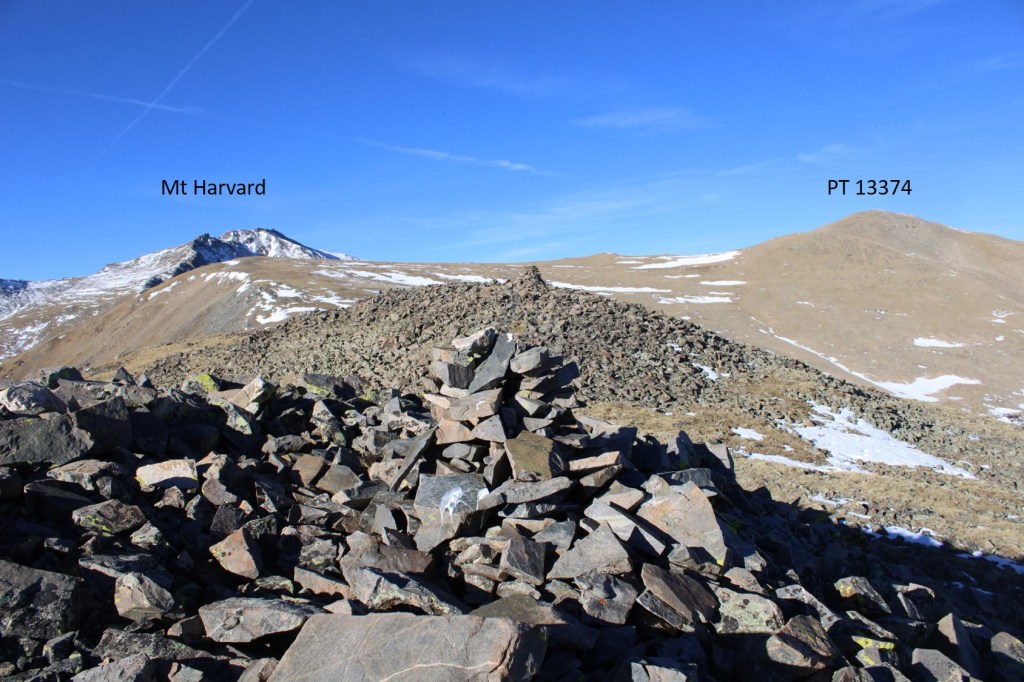
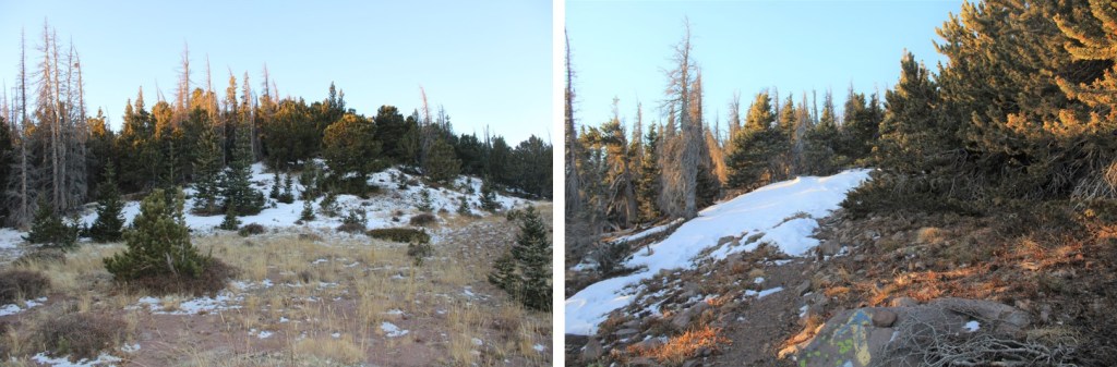
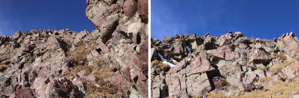
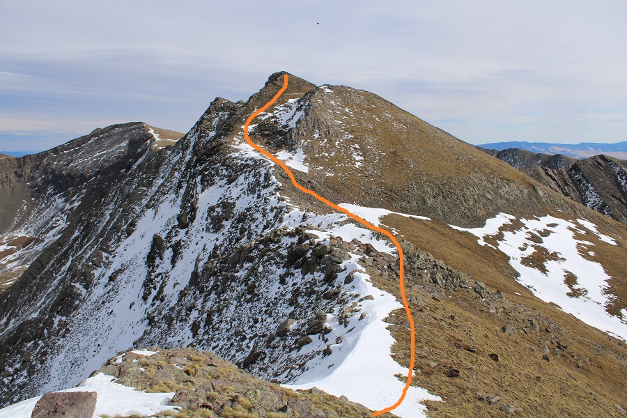
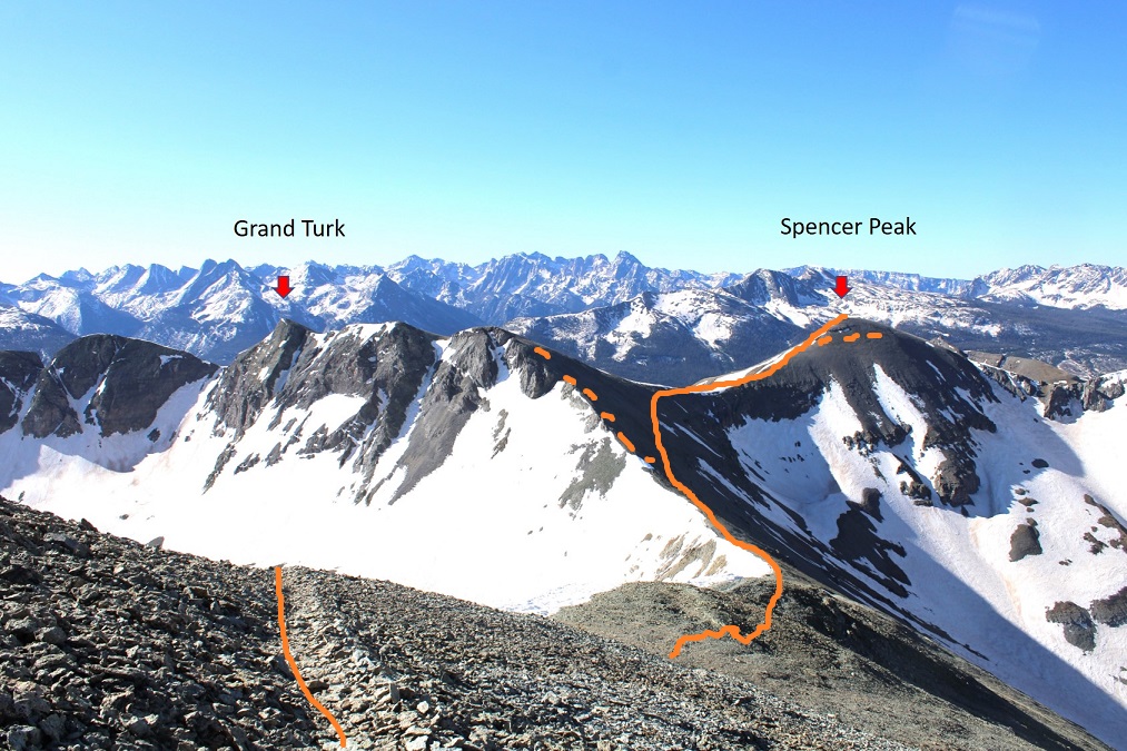
I gained the ridge, and picked up an obvious trail. I followed that trail east. I could have just gone up and over Spencer Peak at that time, but I chose to follow the trail and summit Grand Turk first, by skirting the north side of Spencer.
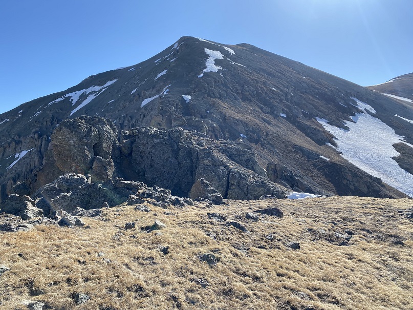
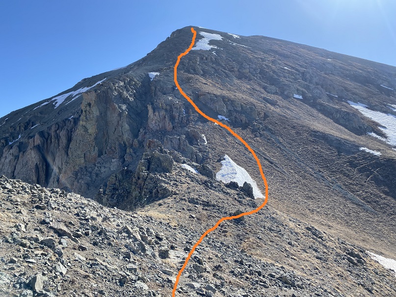
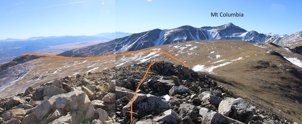
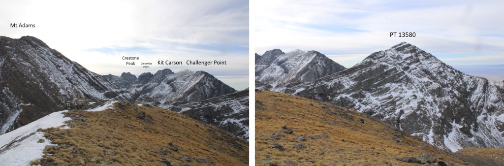
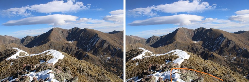
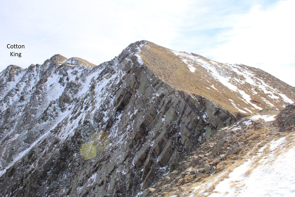
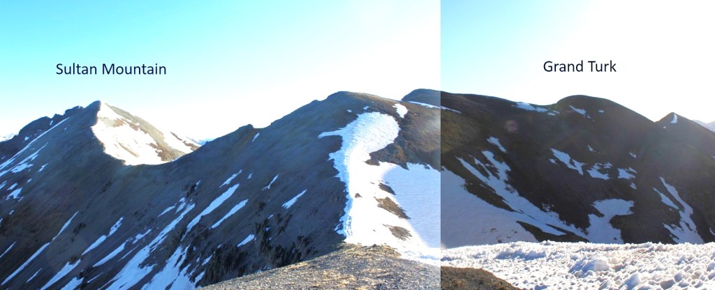
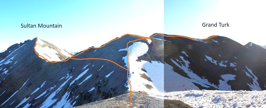
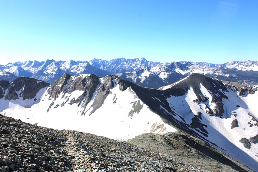
Here’s a look at the rest of the route. I did Grand Turk first, and then Sultan, but you could do it in reverse as well.

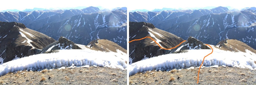
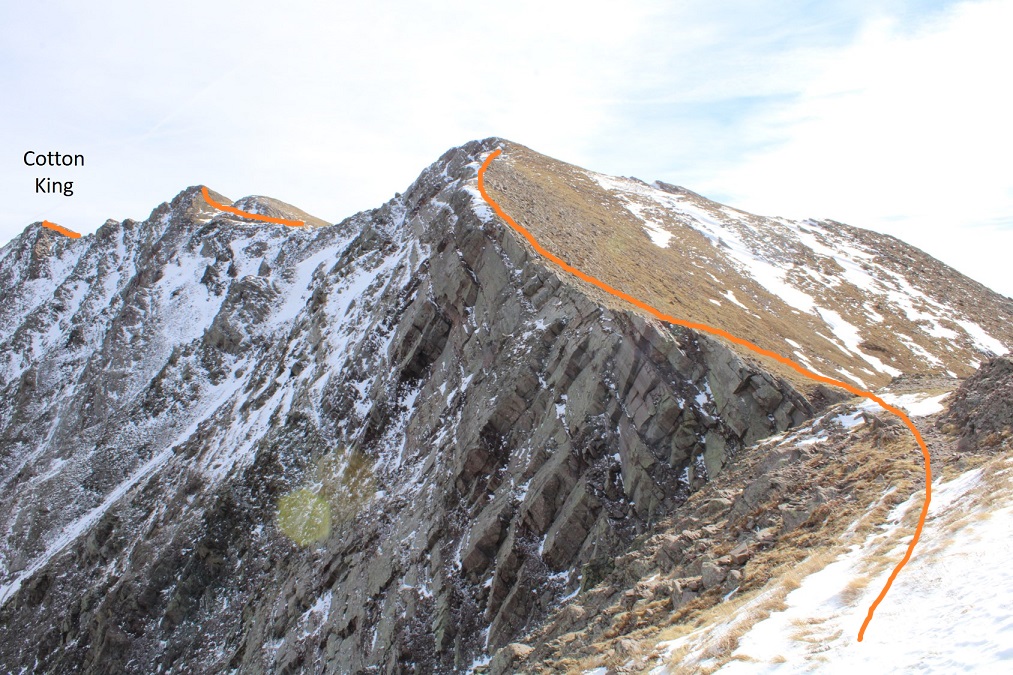
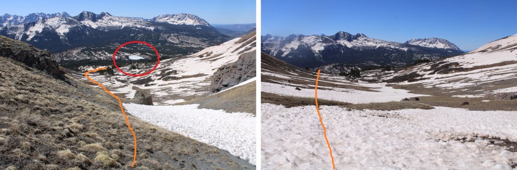
Here’s the route I took
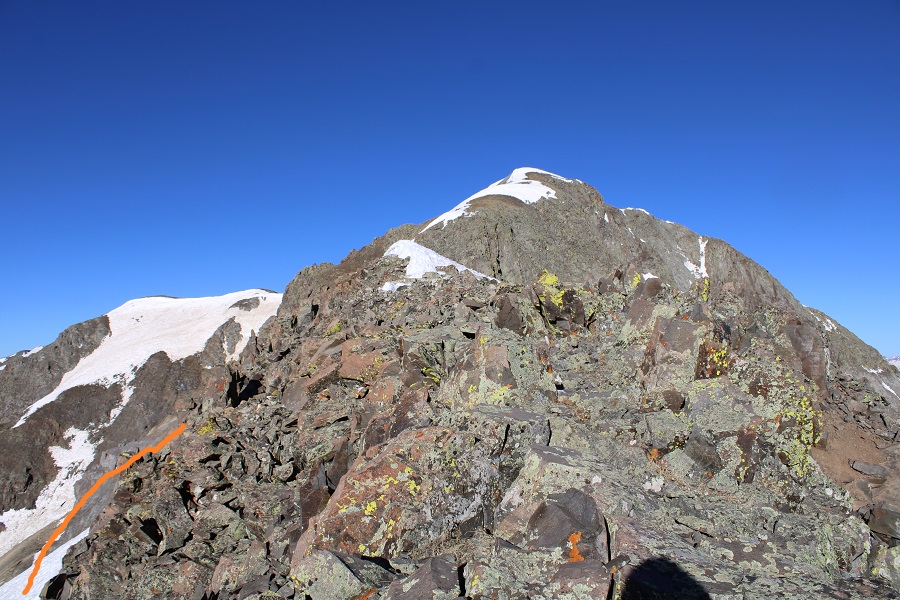
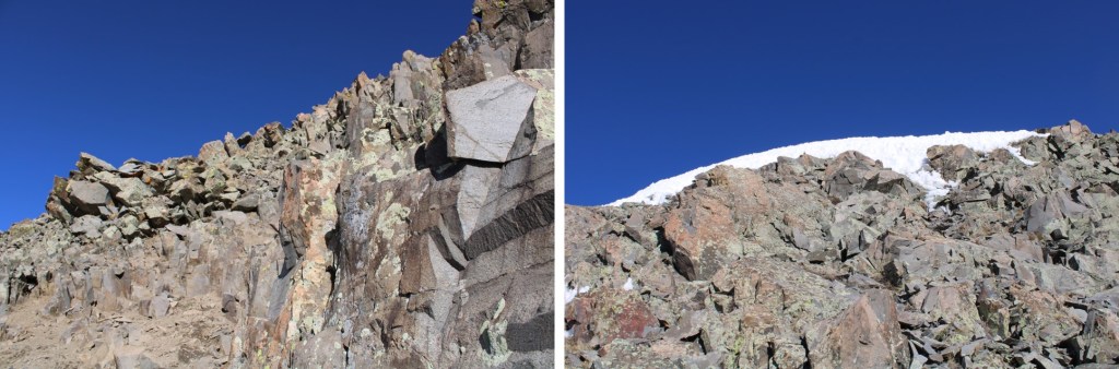
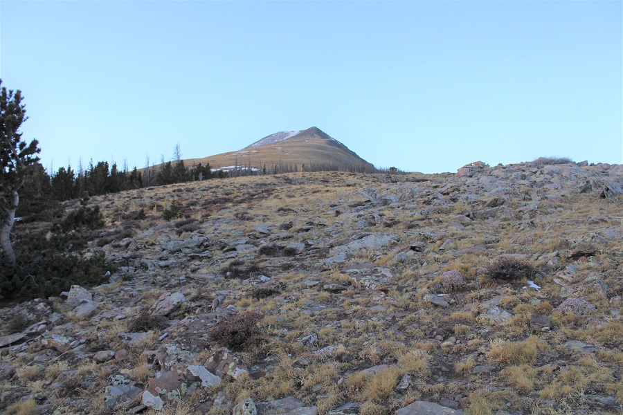
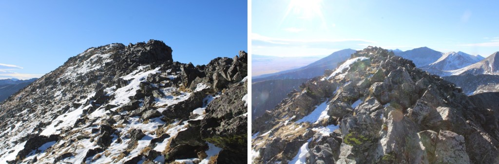
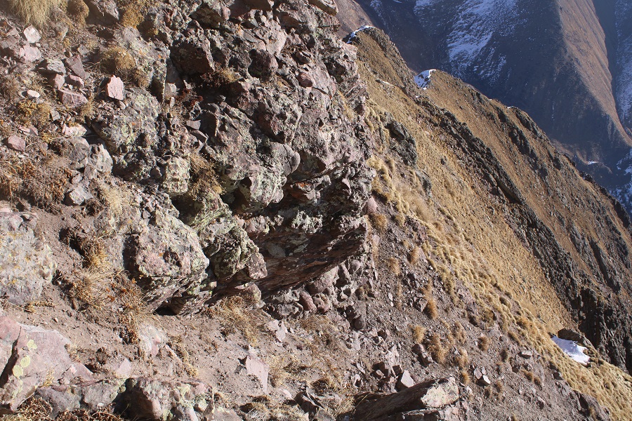
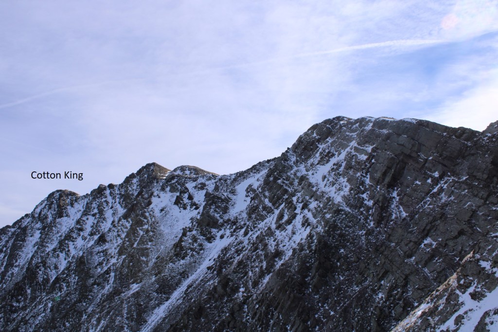
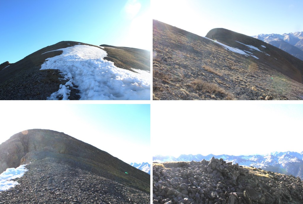
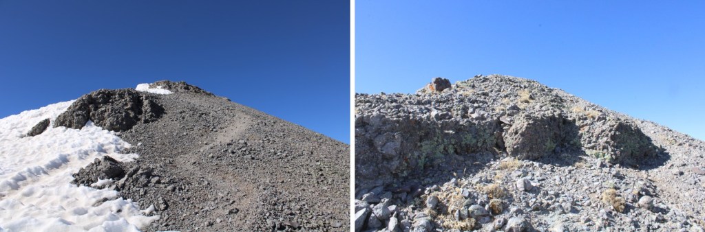
And some closer images of the way to Grand Turk

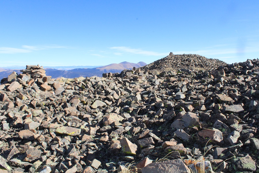
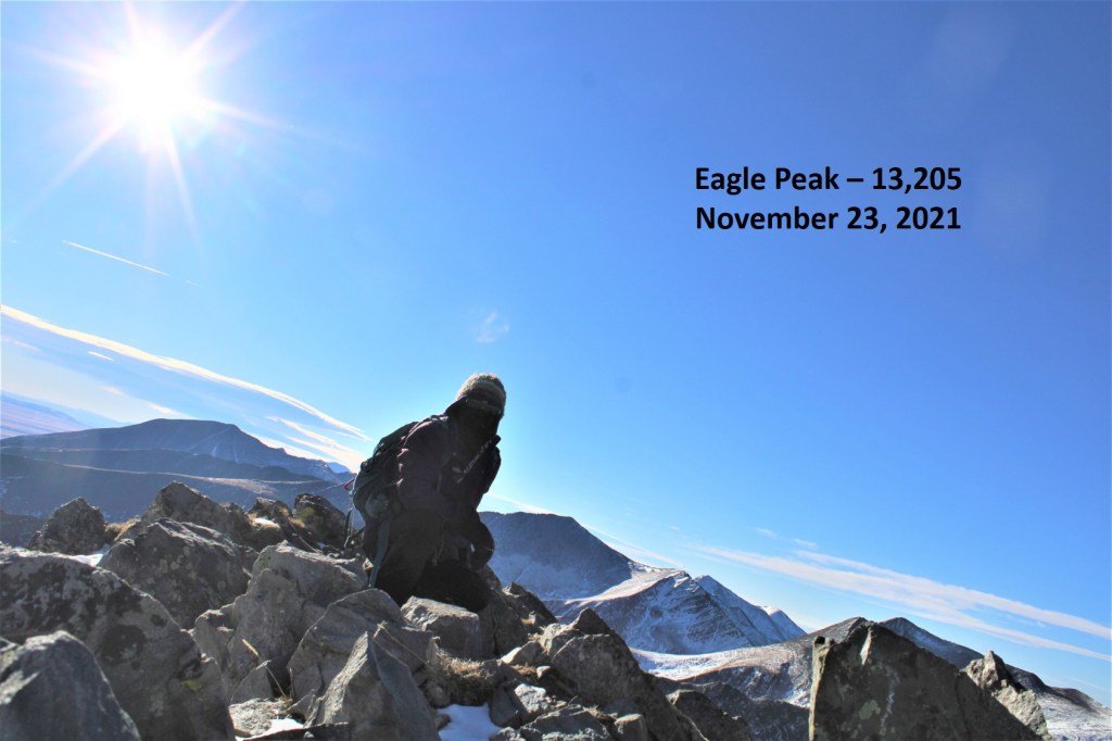
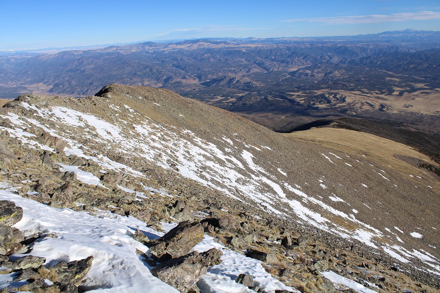
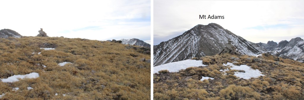
I summited Grand Turk at 7:35am

Grand Turk:
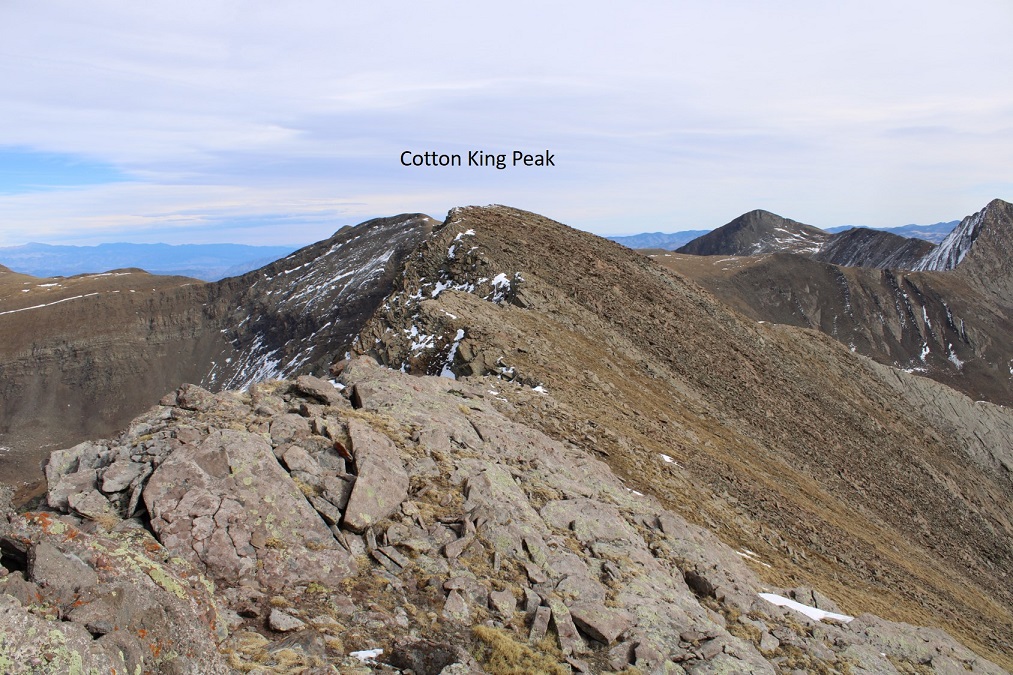
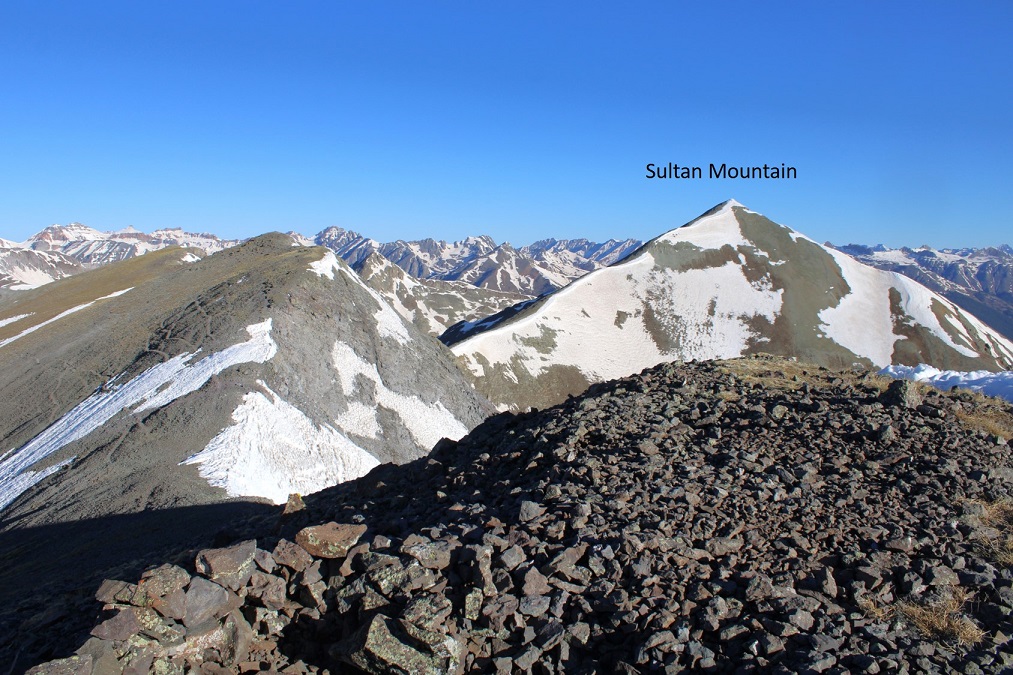
Now to head over to Sultan Mountain
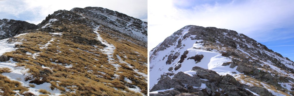
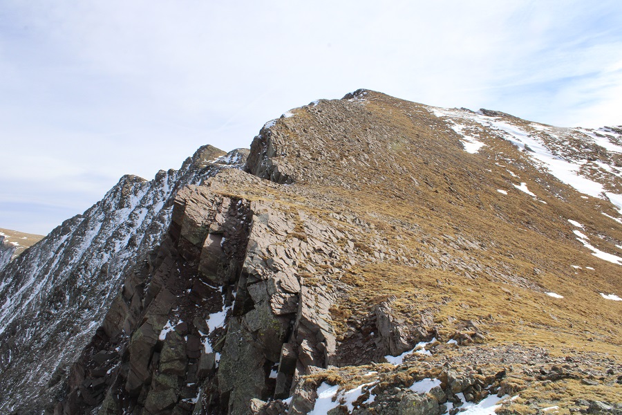
I re-traced my steps west, following the ridge
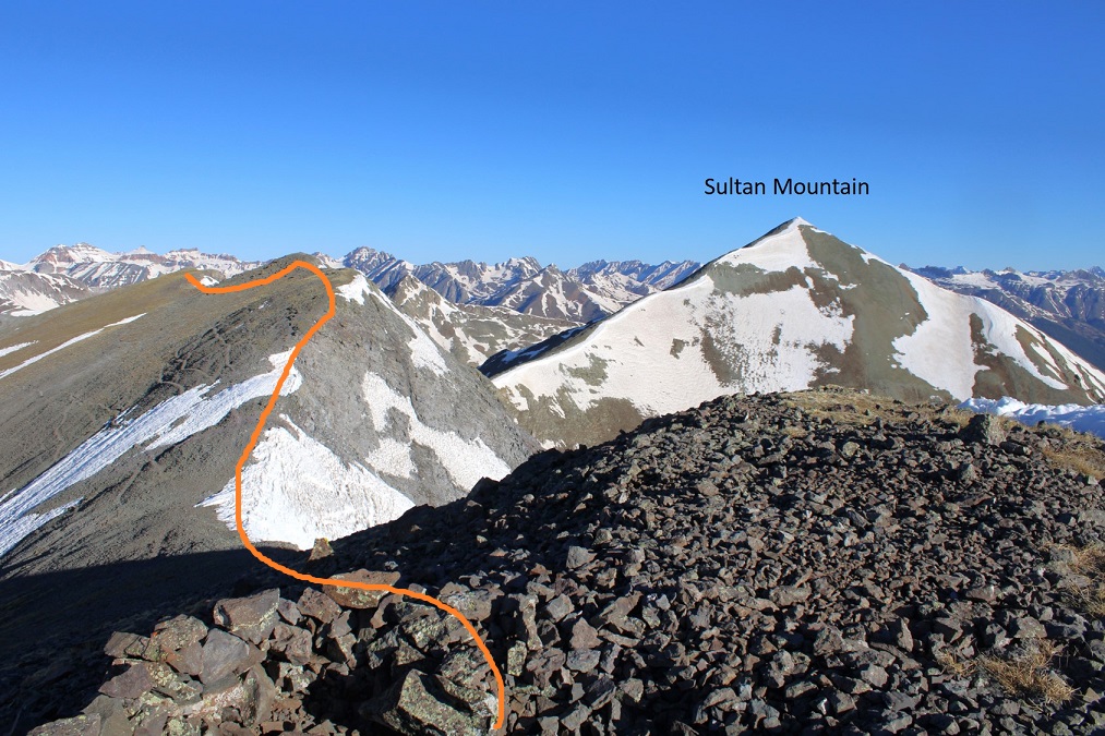
And then followed the ridge all the way to Sultan Mountain. This was all class 2 and very straightforward.

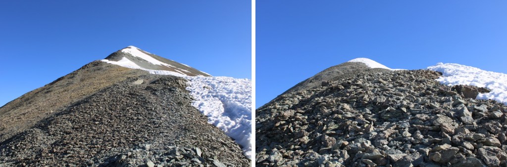
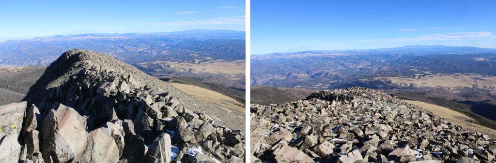
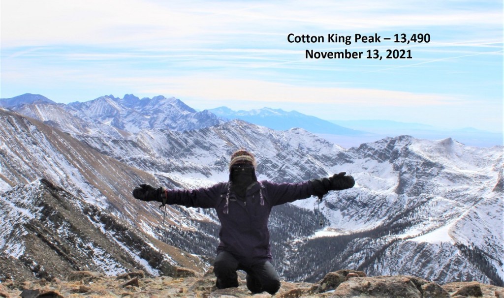
I summited Sultan Mountain at 8:40am. Check out those views!
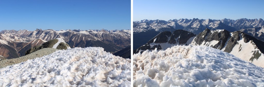
There wasn’t any place to set my camera down on the snow to take a picture, so I took a selfie with my phone.
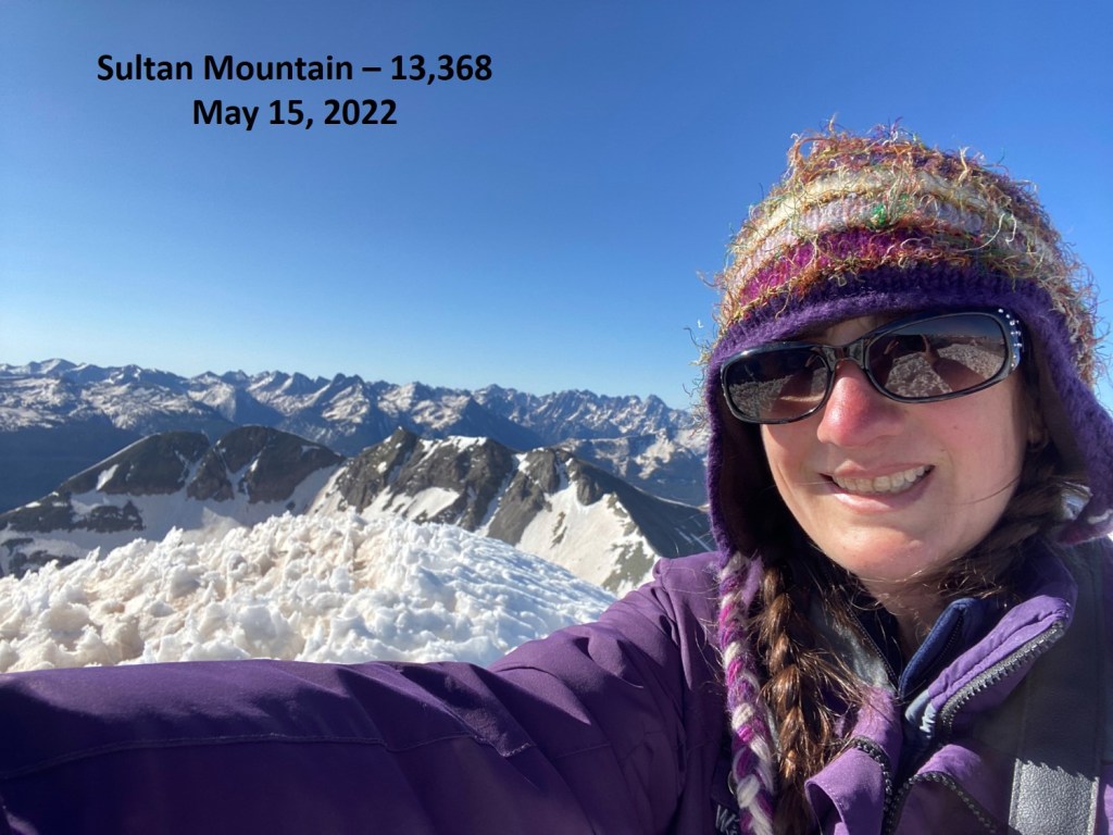
Sultan Mountain:
Now to turn and head back to Spencer Peak
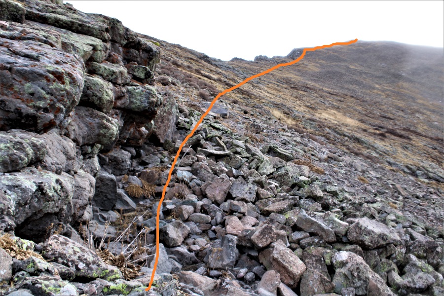
Here’s the route I took (dotted line is the route I took in)
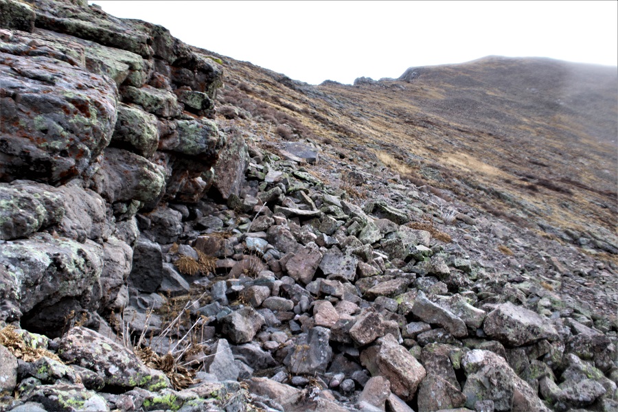
I retraced my steps, and then took the scree slope to the saddle

The scree slope had a well-defined trail, but it had been washed out in areas by sliding rock, so careful foot placement was a must.
Back on the saddle, I headed up Spencer Peak.
Just like the rest of the day, this was class 2
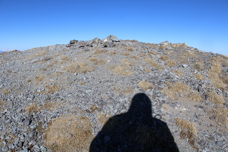
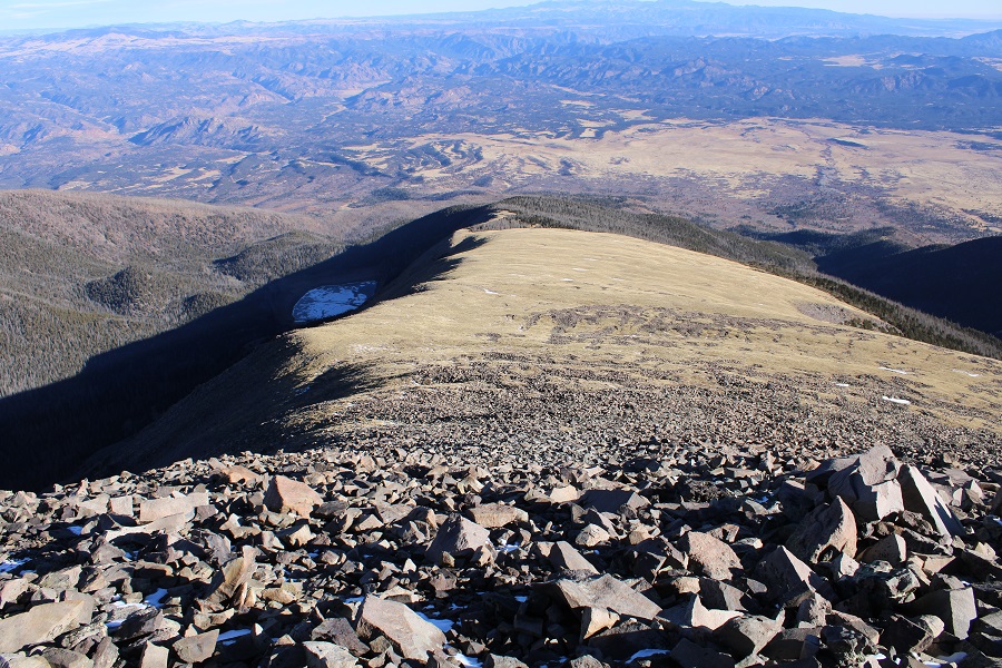
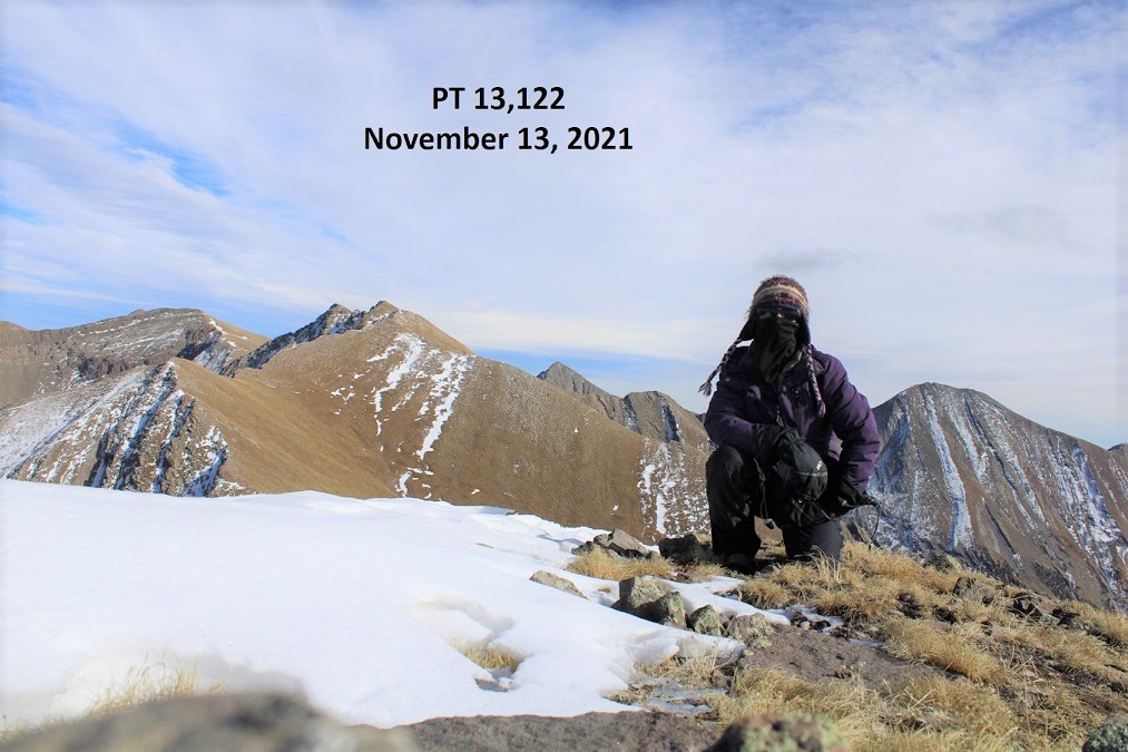
I summited Spencer Peak (unranked) at 9:30am

Spencer Peak:
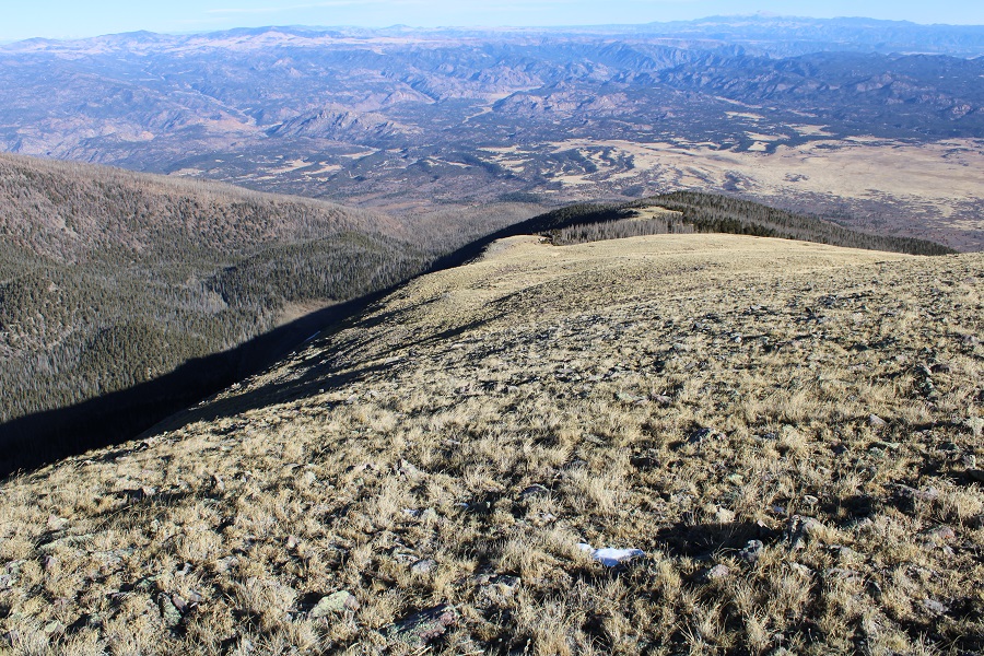
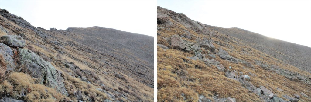
Now to head back the way I came in. I followed the obvious trail west to the saddle
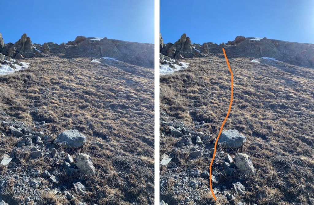
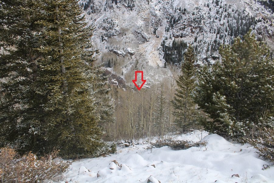
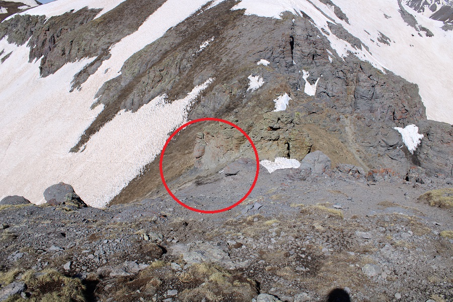
To descend, I looked for this obvious rock formation
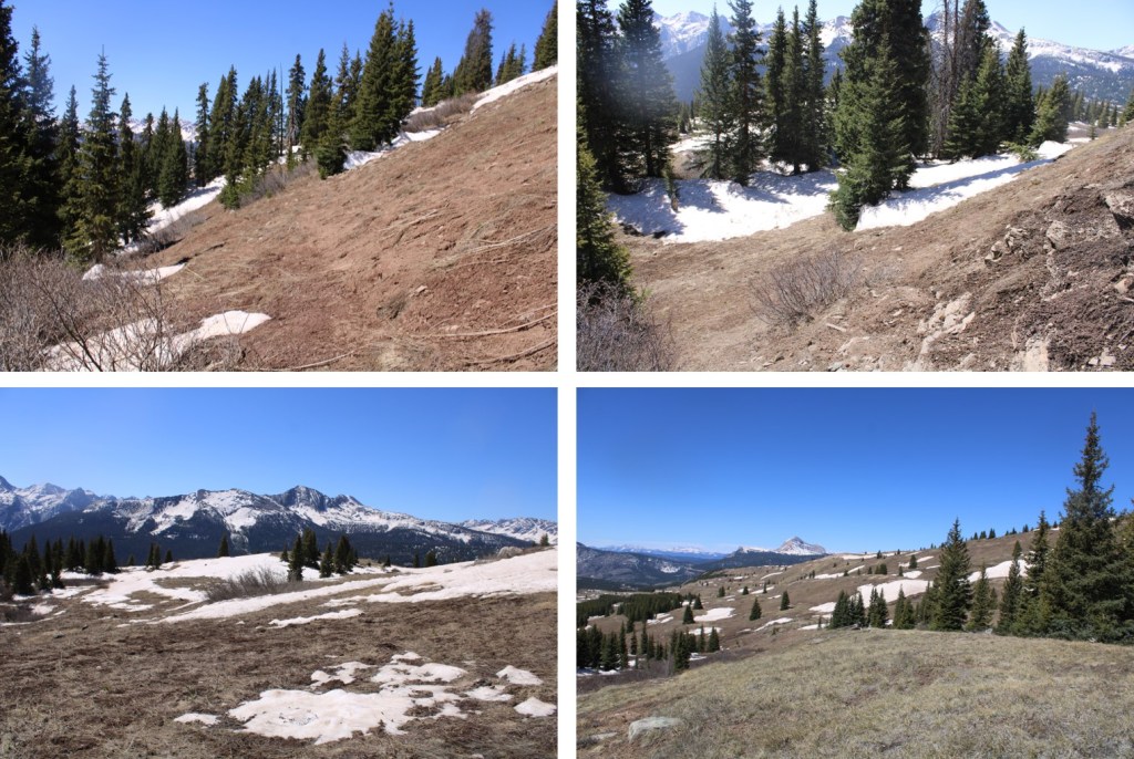
Then I stayed as high as I could so as not to need to regain elevation
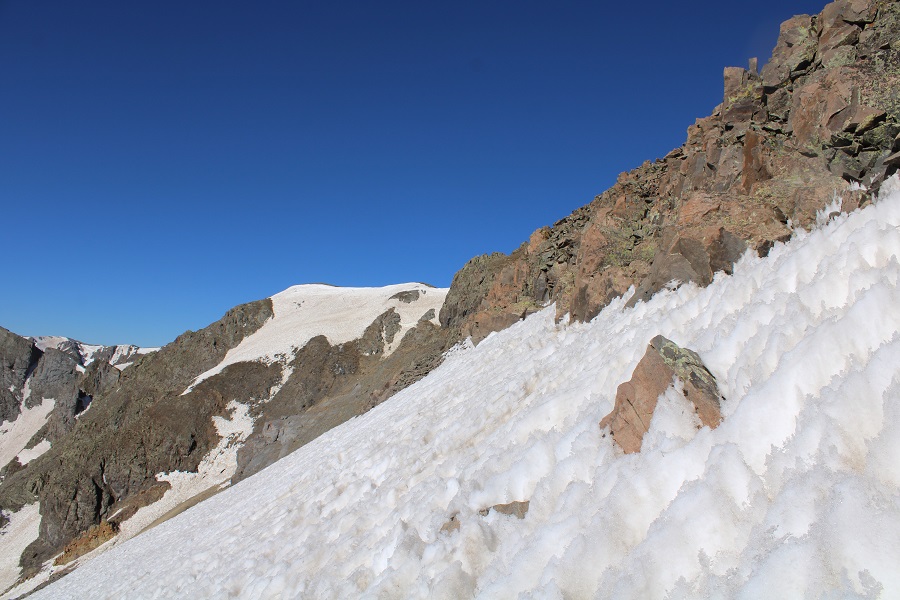
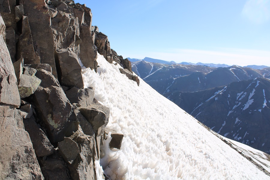
It should be noted, by this time in the morning, the snow was complete slush. Snowshoes wouldn’t have worked because the suncups were terrible. I was reduced to wading through the slush, with my socks and shoes sopping by the time I made it to the other side. I’m not sure gaiters would have helped. I now headed back down the gully and into the basin
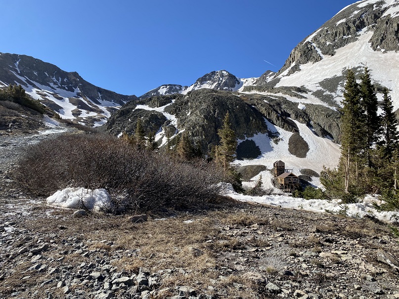
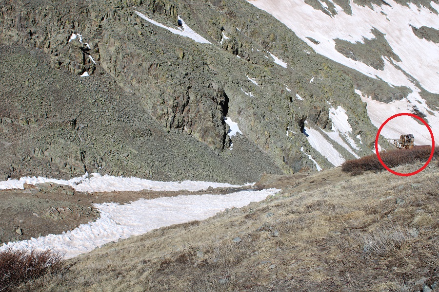
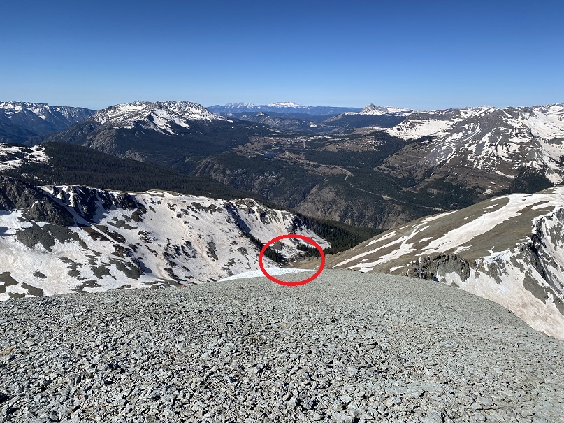
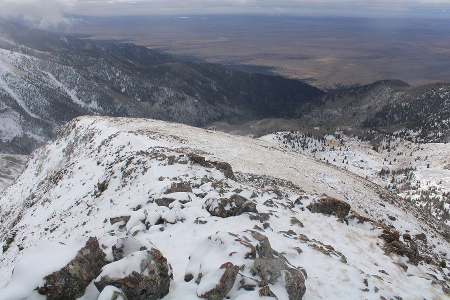
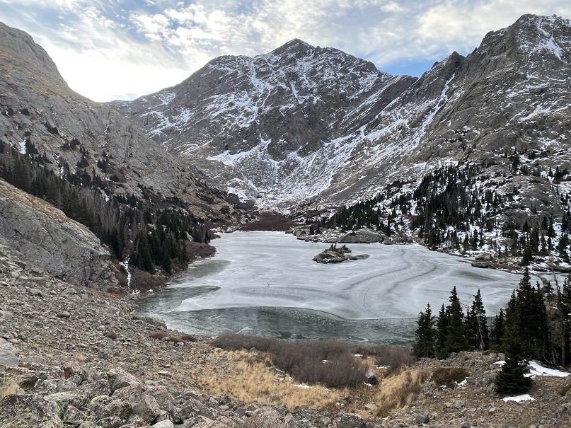
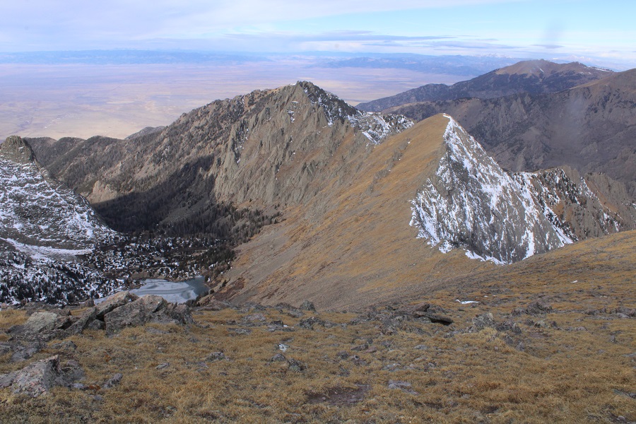
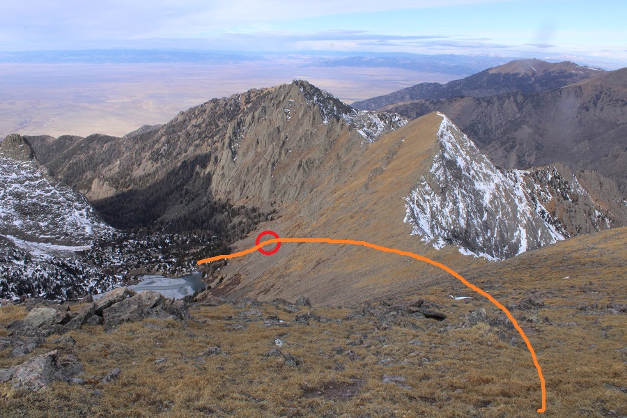
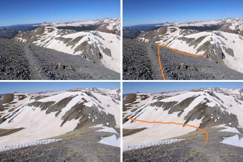
Now is a good time to get a look at Little Molas Lake. That’s the direction you need to be headed to make it back to the dirt road, and the campground
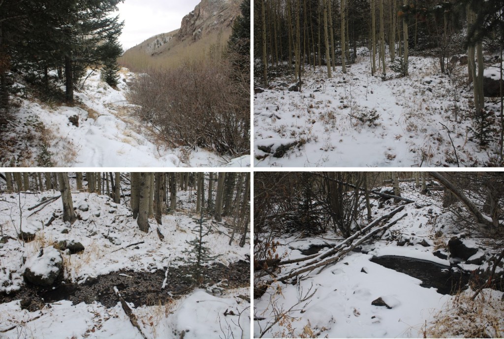
Once at the far end of the basin I turned right, and headed southwest to cross the creek

And then continued heading southwest
Always heading towards Little Molas Lake

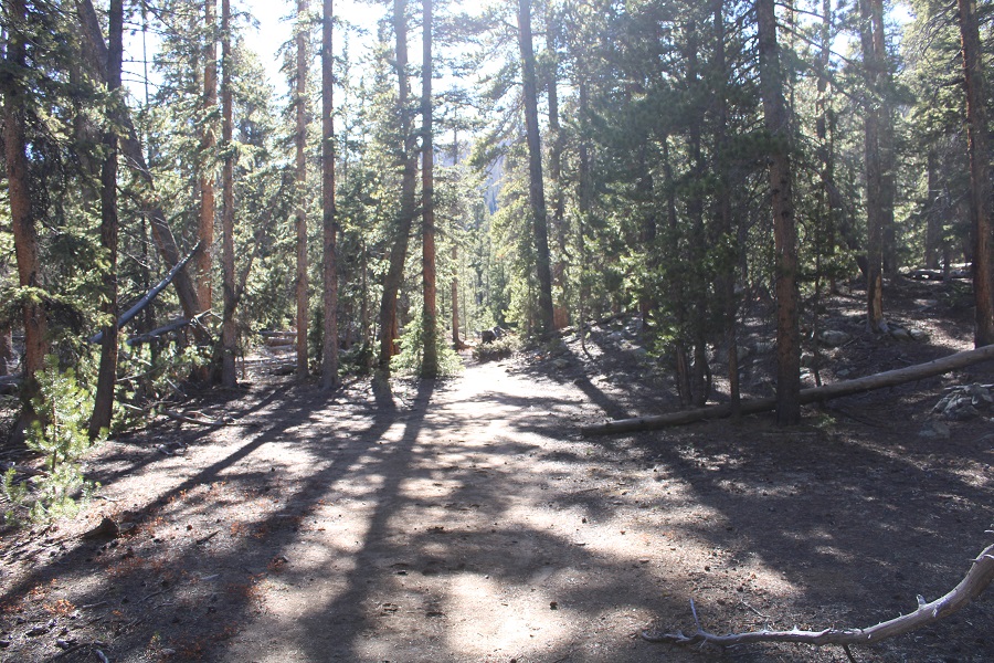
I eventually made it to the road, and followed that back to my truck
I made it back to my truck at 11:15pm, making this a 10.36 mile hike with 3539’ of elevation gain in 6 hours, 30 min.
On to the next trailhead!