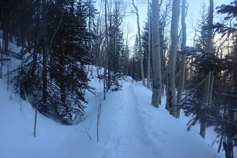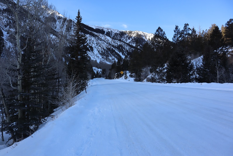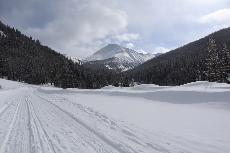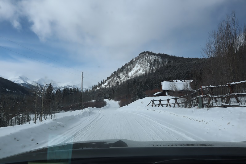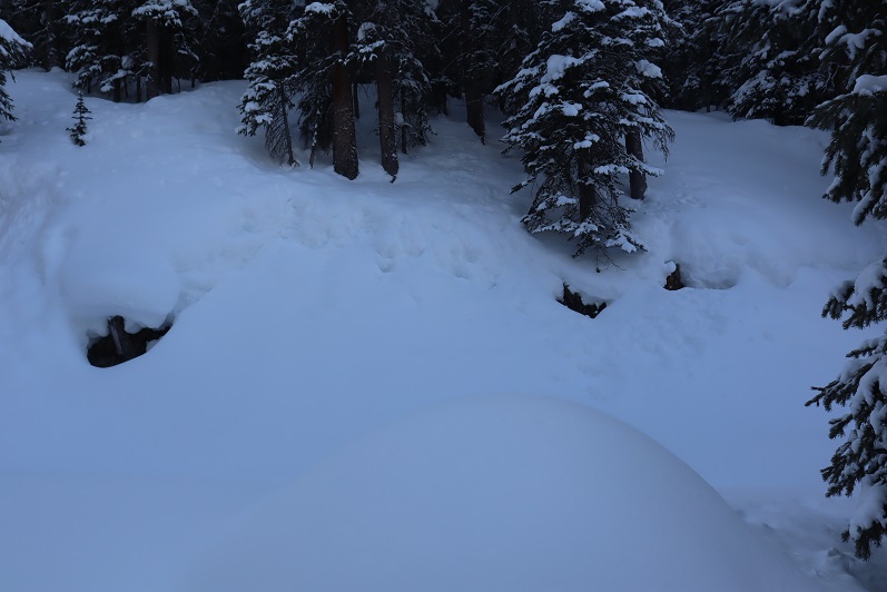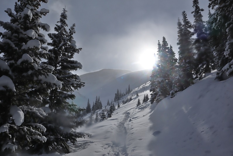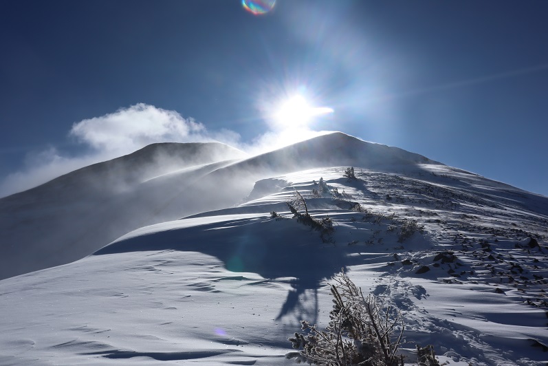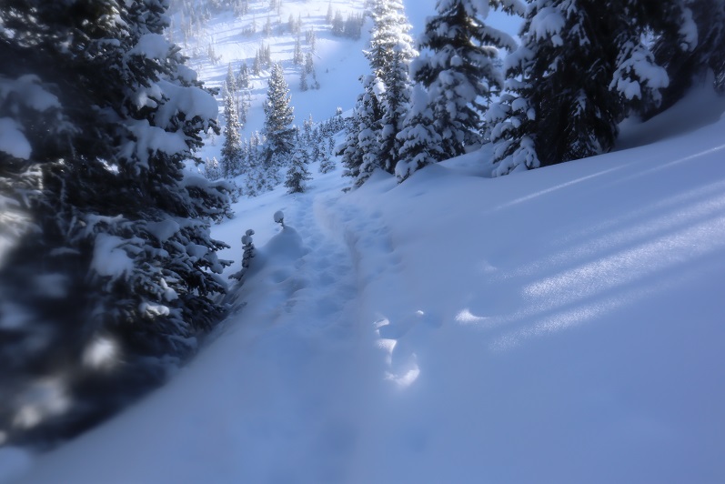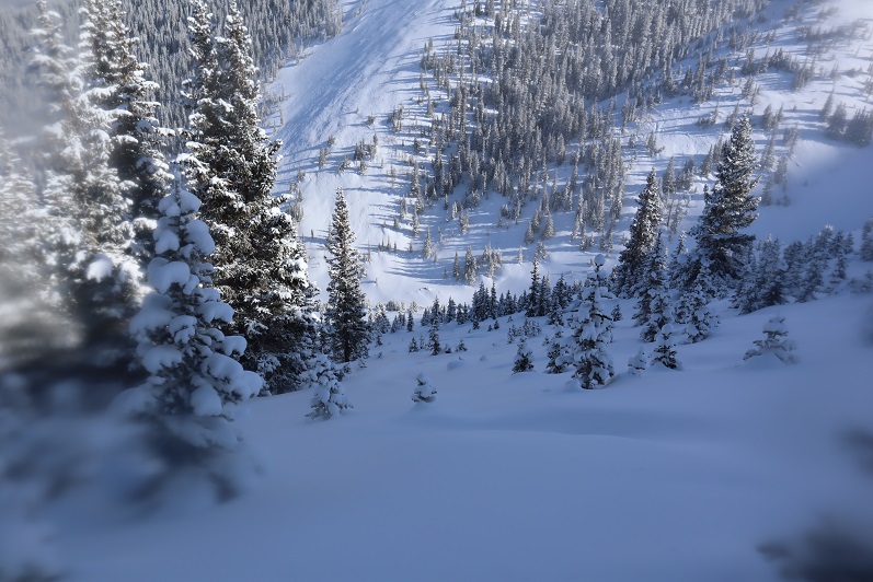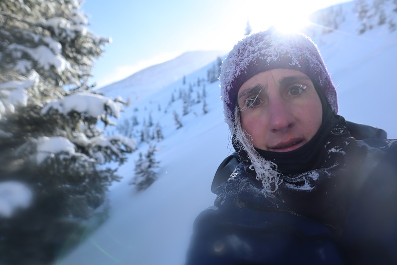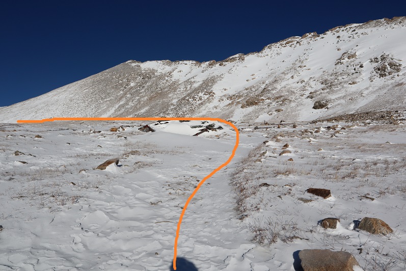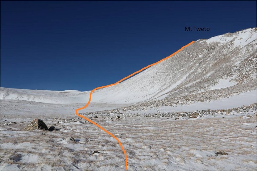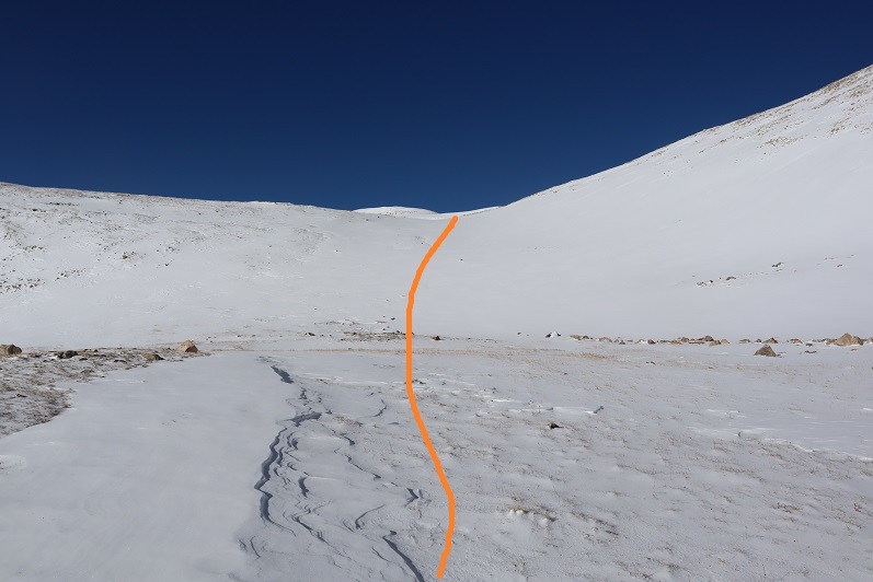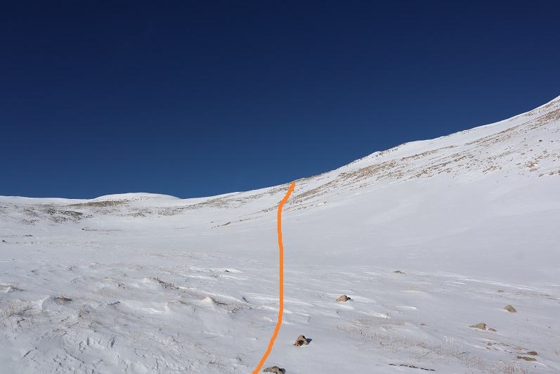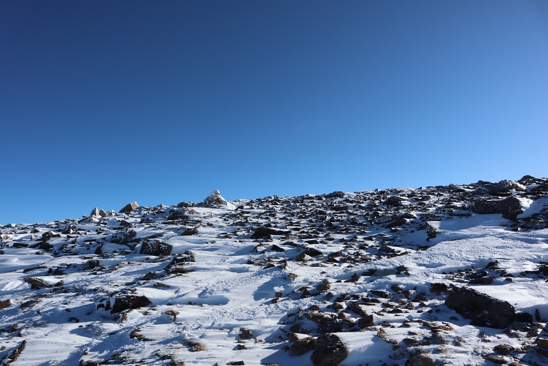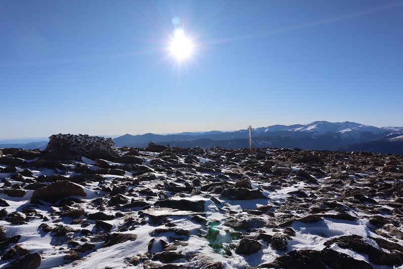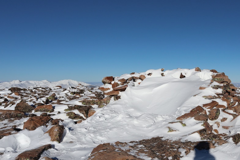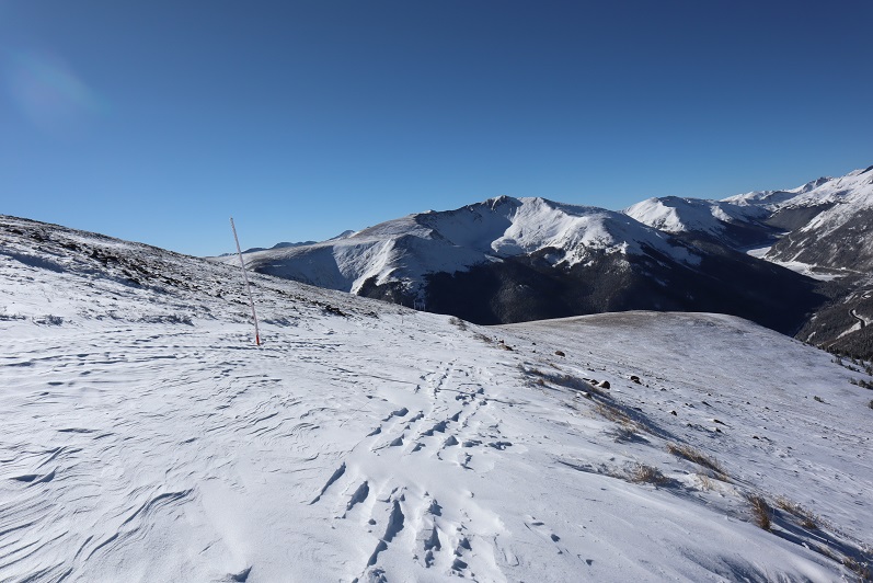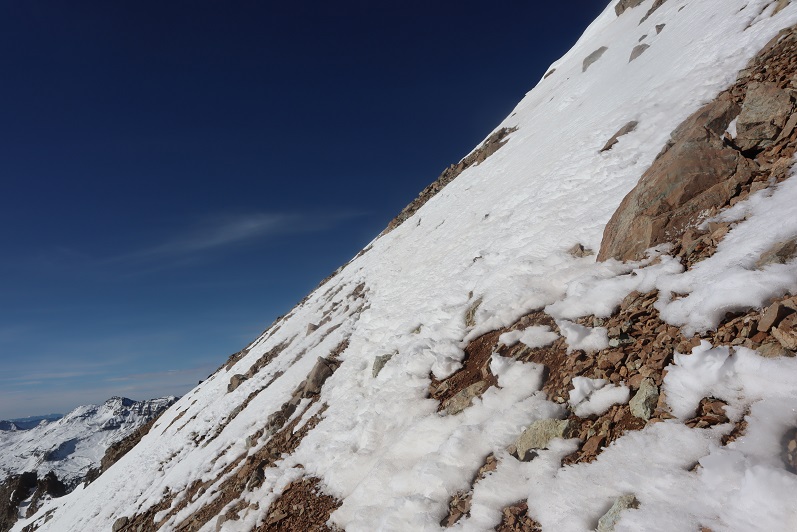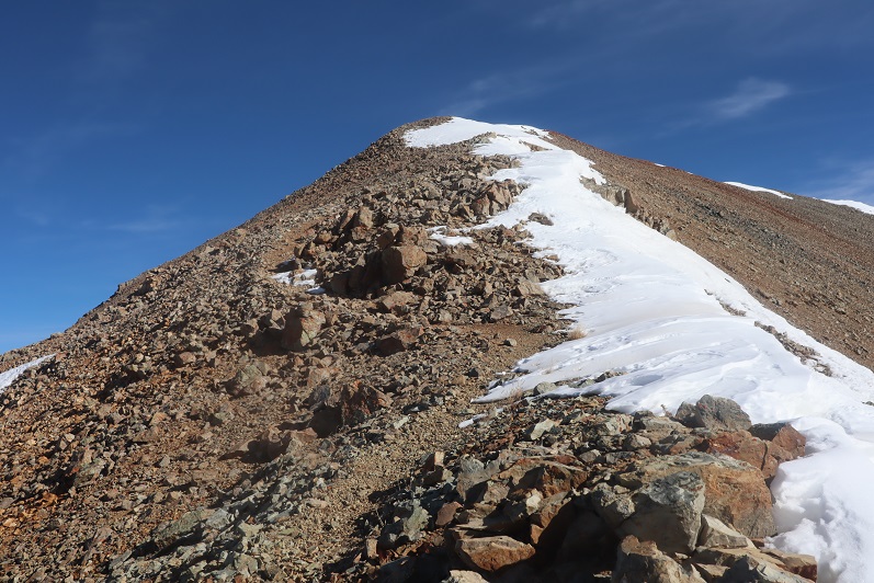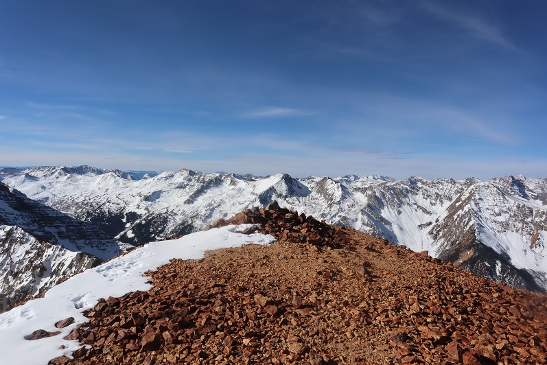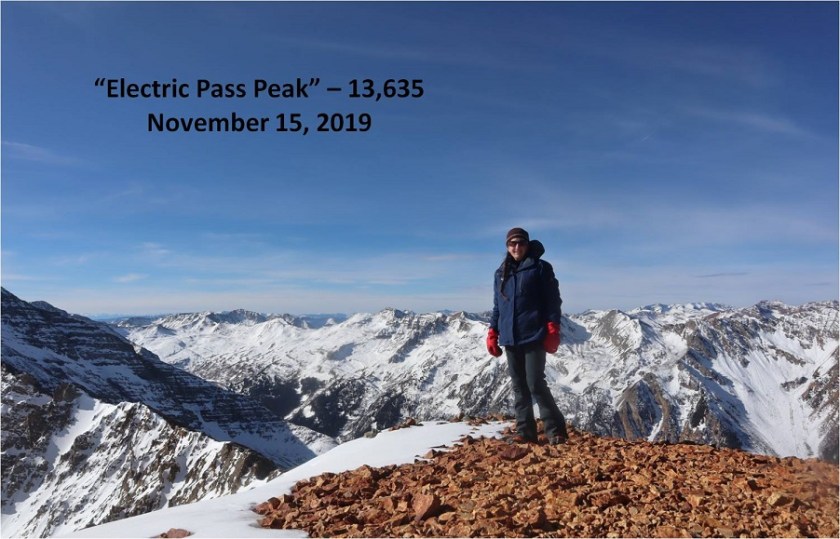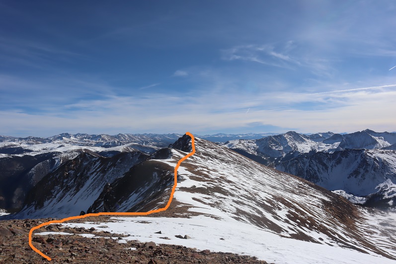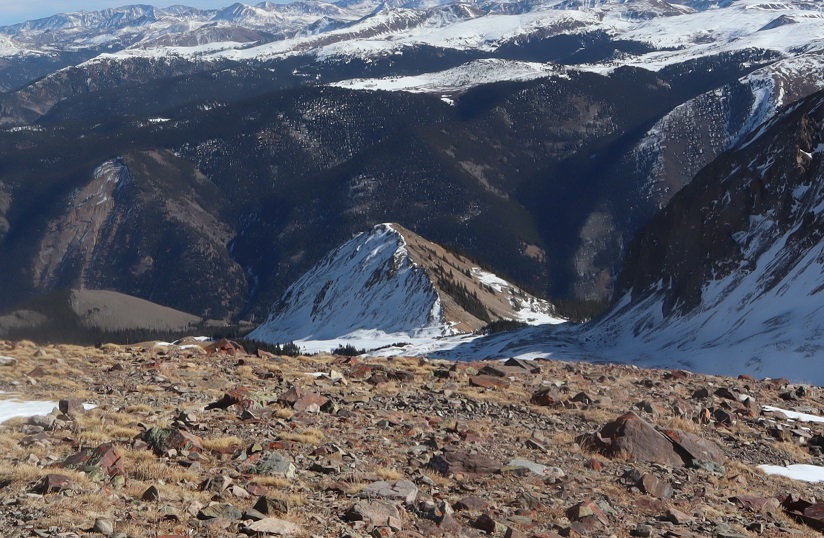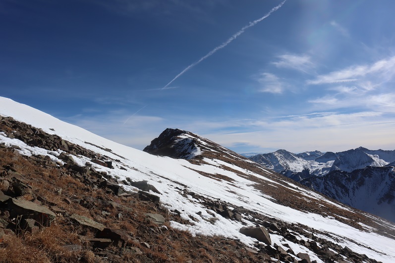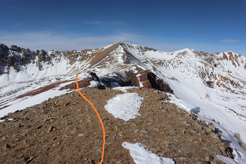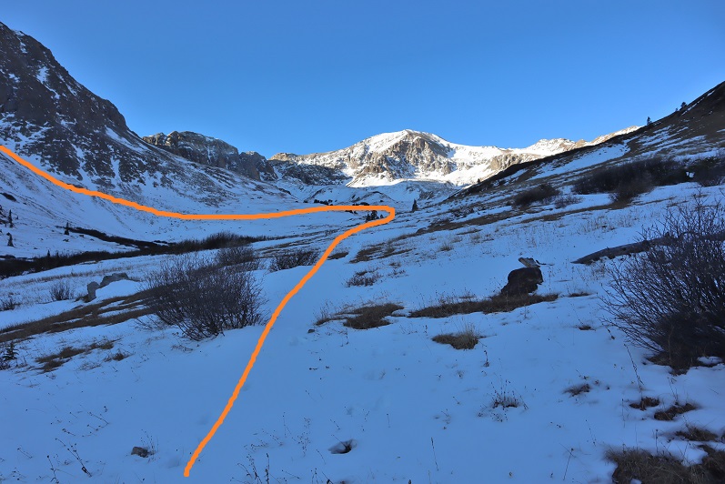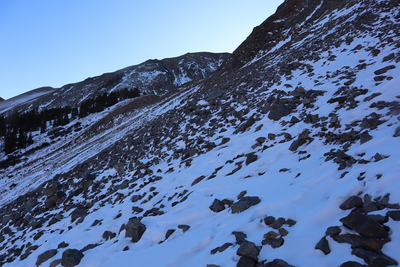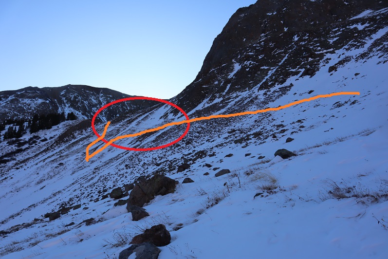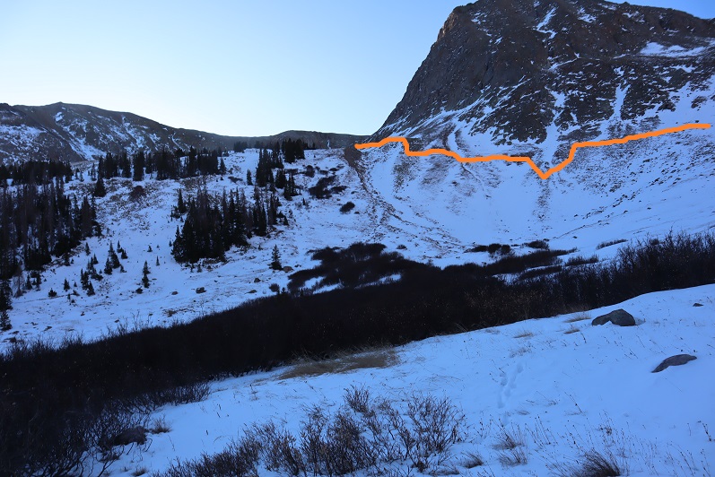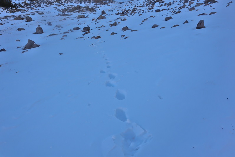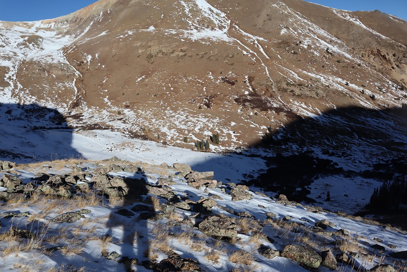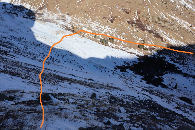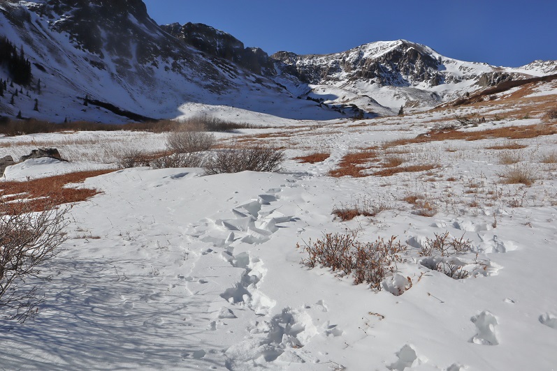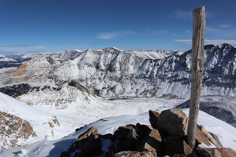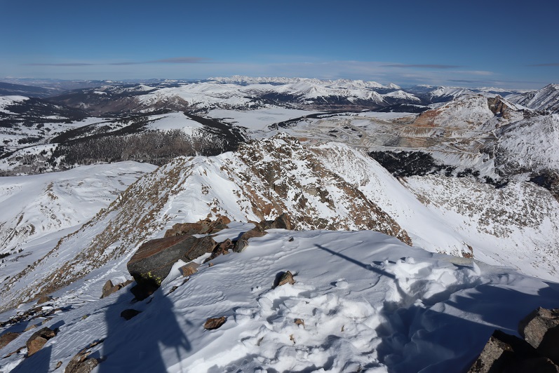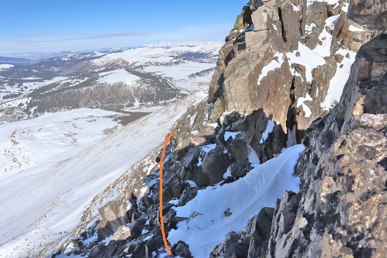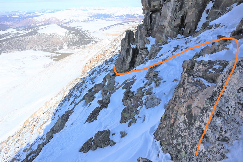
Twin Peaks A – 13,584

1

RT Length: 9 miles

Elevation Gain: 4625’

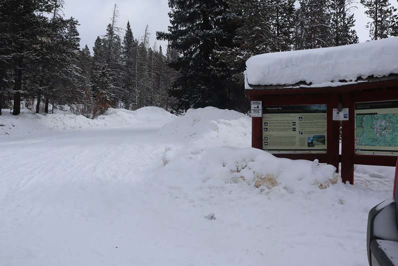
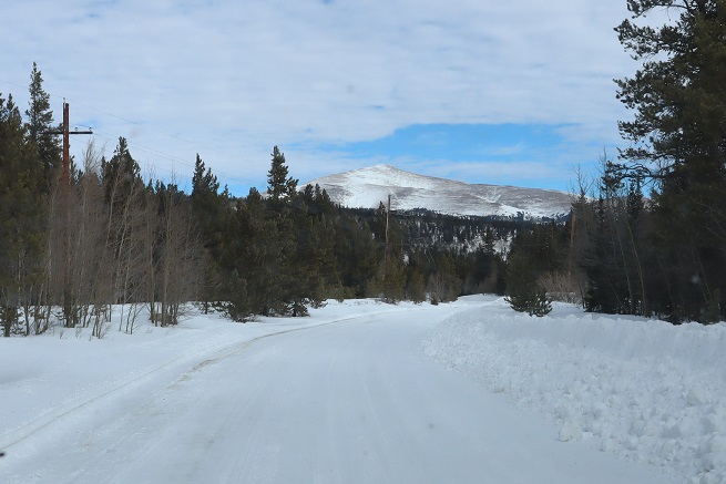
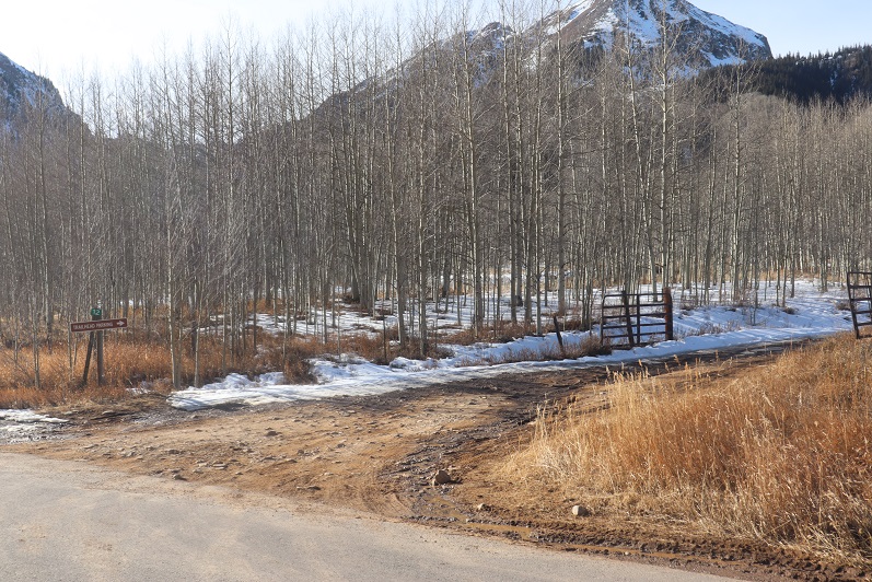
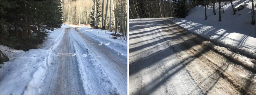
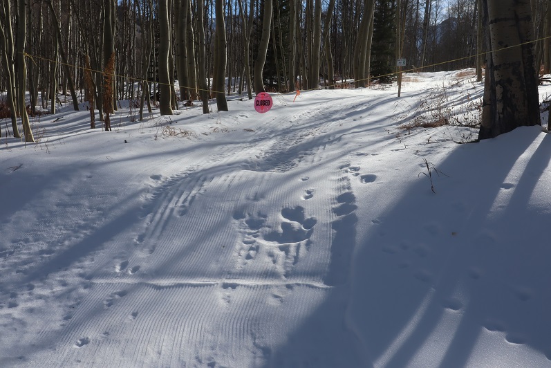
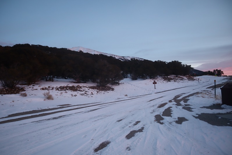
Any time your hike begins in the Piñon Pines and Junipers you know it’s going to be a long day. I arrived at the South Zapata Creek Trailhead after mistakenly being directed to a gated community a few miles away (Google Maps was taking me to South Zapata Creek, not South Zapata Creek Trailhead:  I’d suggest putting in Zapata Falls as it will direct you to the campground and trailhead).  No worries though, I was free all day and this only put me back about 15 minutes from schedule.  The 4WD road to the correct trailhead was a little rough in the beginning with a lot of softball-bowling ball sized rocks, but after the first mile or so it smoothed out.  I parked my truck just before the campground entrance and was on the trail at 6:30am.
2

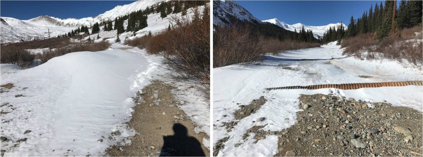
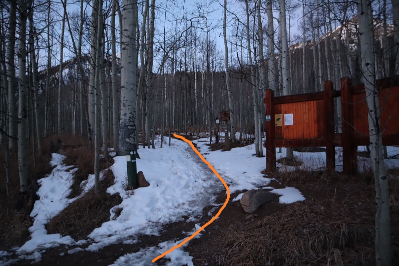
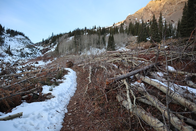
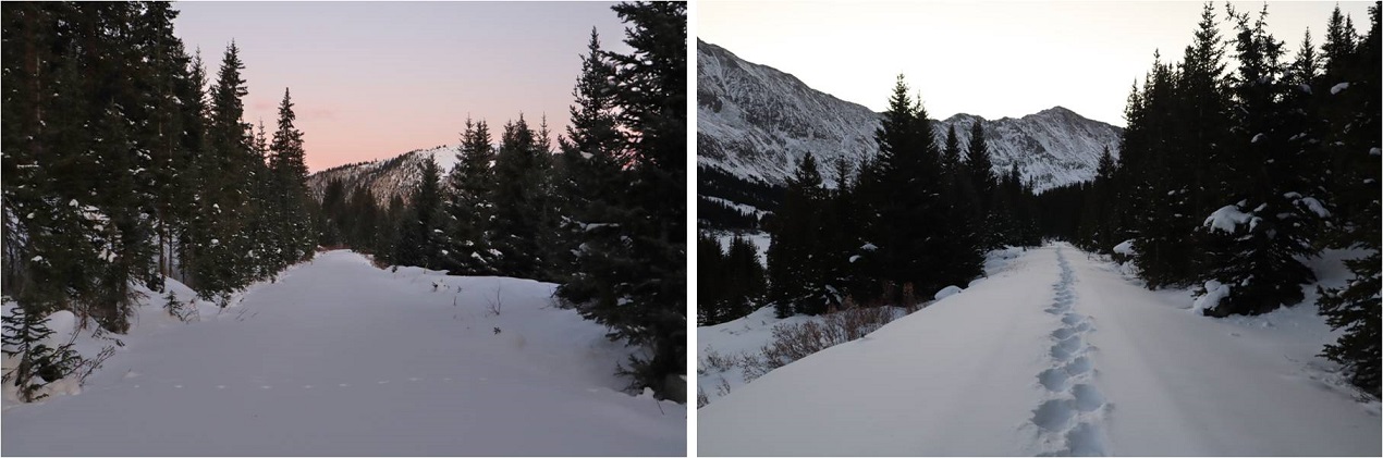
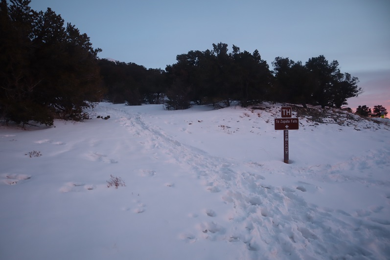
I followed the trail that led to Zapata Falls for .85 miles
3

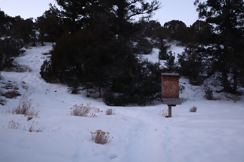
Just past a defunct trail register

4

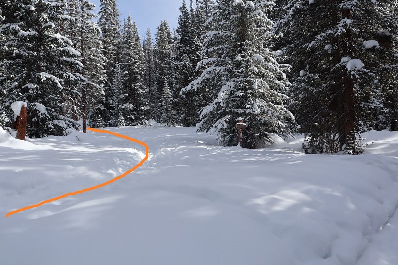
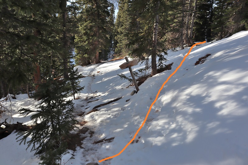
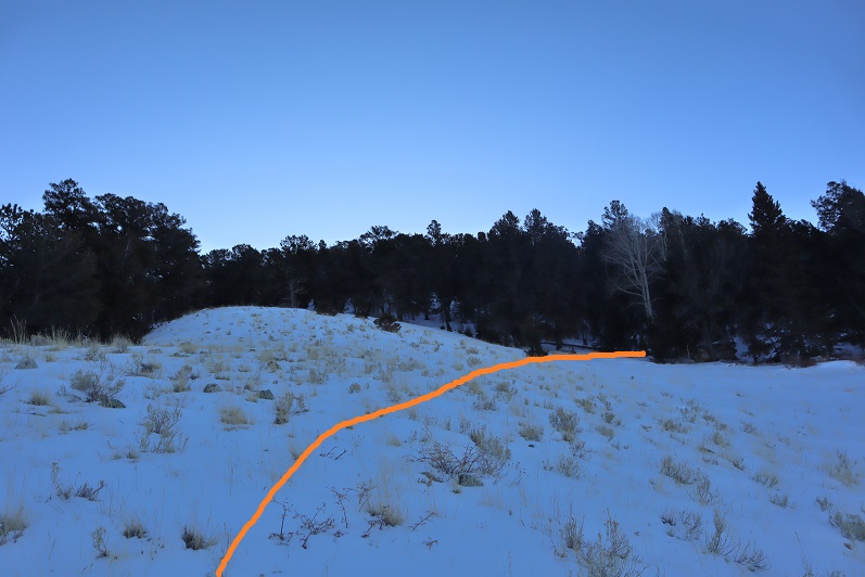
And at this cairn left the trenched trail and turned right and headed up the hill.

5

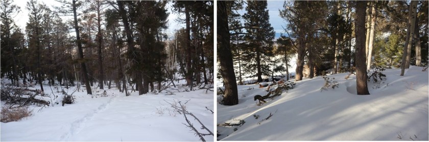
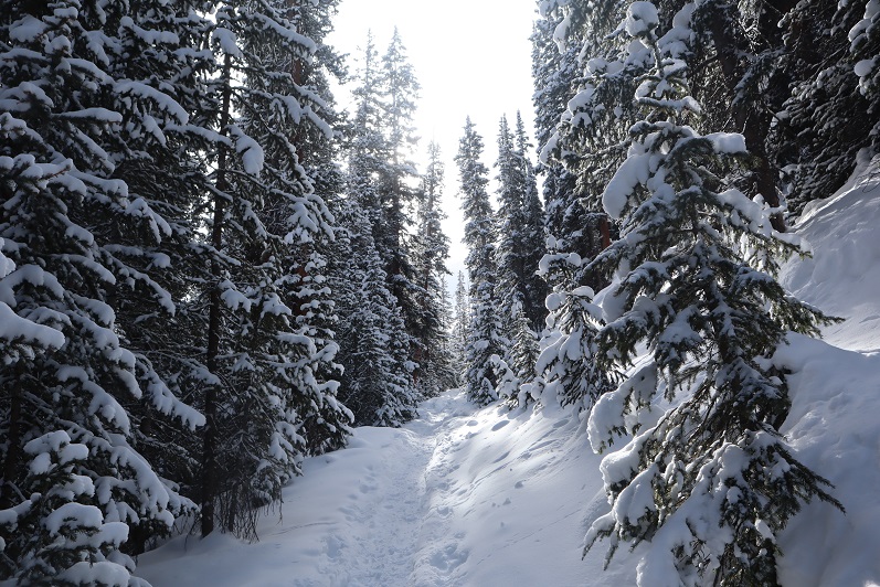
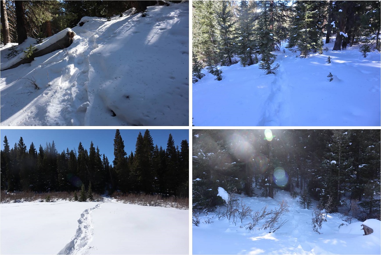
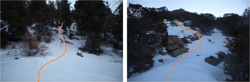
From here on out I was ‘off trail’. At this point I should have put my snowshoes on, but I tend to be stubborn about such things and kept hiking in just my microspikes.  My next objective was to gain the ridge to the south.  This ridge was steep and I kept sliding backwards in the snow.  Yep, snowshoes would have been a good idea.  Here the snow was soft but I was only postholing about a foot at a time.  To make things easier I did my best to follow recent game tracks.  It looked like there were a lot of deer in the area.
6

From the top of this ridge I followed the drainage up to a small plateau. Once again, there were tons of deer tracks here and it looked like they’d bedded down in the area last night.  I even saw a buck bounding away as I arrived.

7

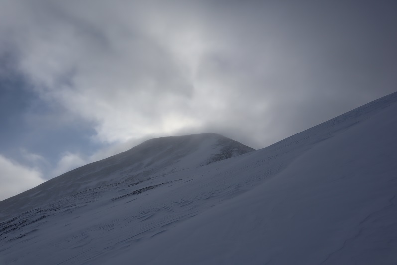
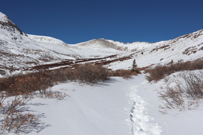
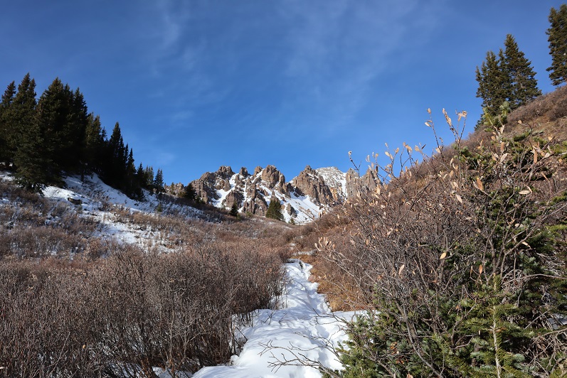
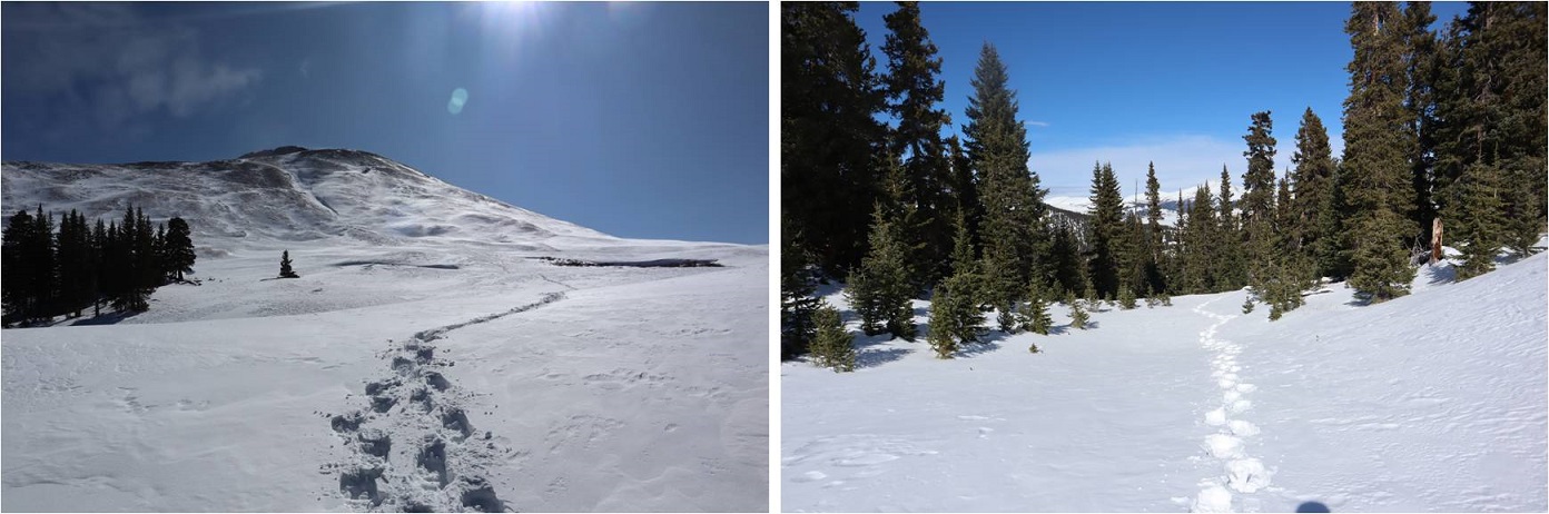
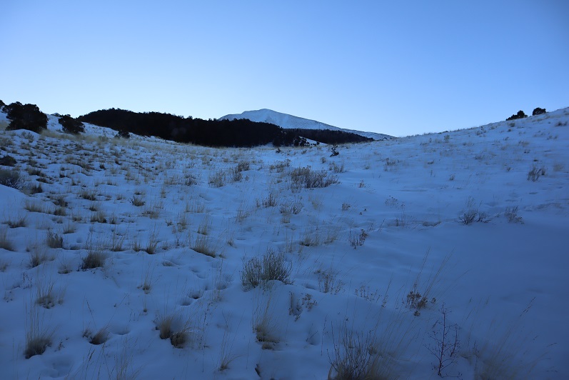
I also got my first view of Twin Peaks A
8

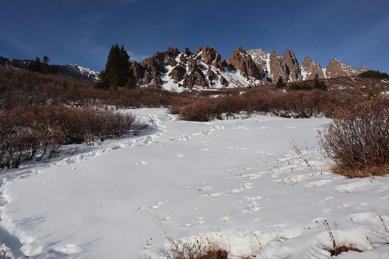
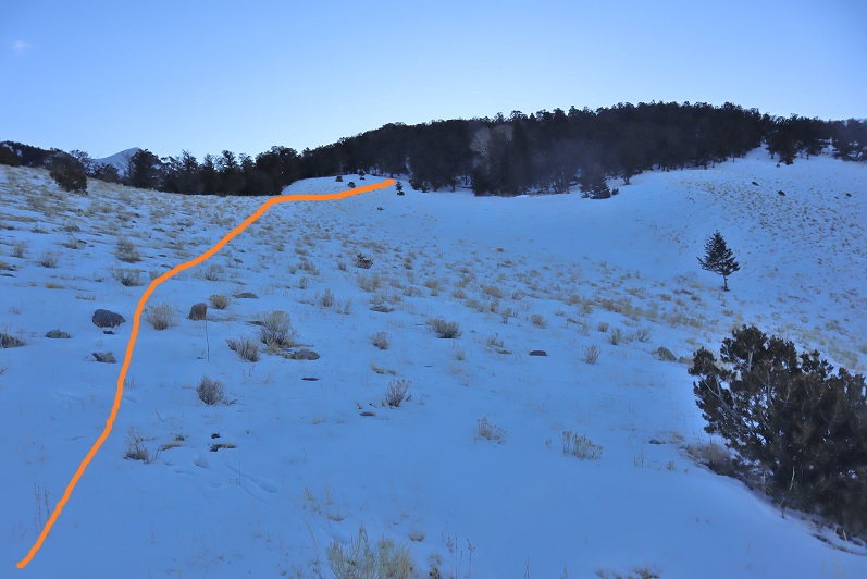
The view was short lived however, as I dipped back into the trees again.
9

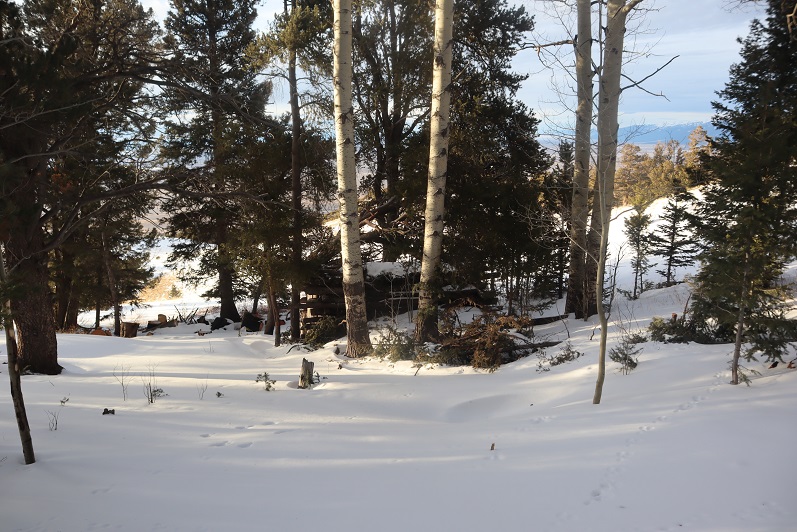
In the trees I came upon an unexpected cabin. It looked old but well kept up.  I would have taken a closer look but the snow was really deep here.  I broke down and put on my snowshoes.
10

11

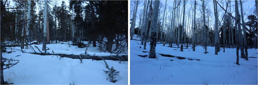
From here on out the snow just kept getting thicker and stayed sugary. I kept heading southeast, this time through some thick aspen groves. Shout out to the deer/elk that helped me by breaking about 250 vertical feet of trail:  I followed their tracks through the trees until they disappeared over the ridge.
12

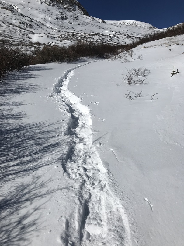
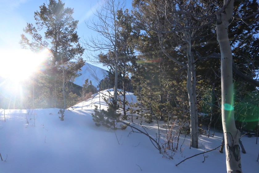
This route mainly follows the ridge, but it takes forever to get to treeline. Well, it took me forever because I was trenching the entire time.  This was the most challenging trench I’ve ever put together:  the snow was deep, unconsolidated, and never ending.  Several times the snow was so deep I couldn’t go forward and I had to get creative and zig-zag my route to make it possible to continue.  This type of trenching is tiring!
13

14

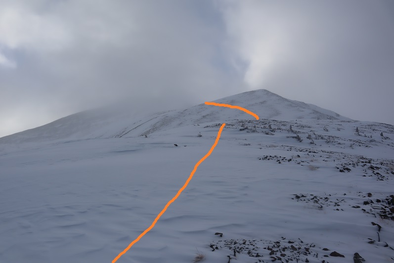
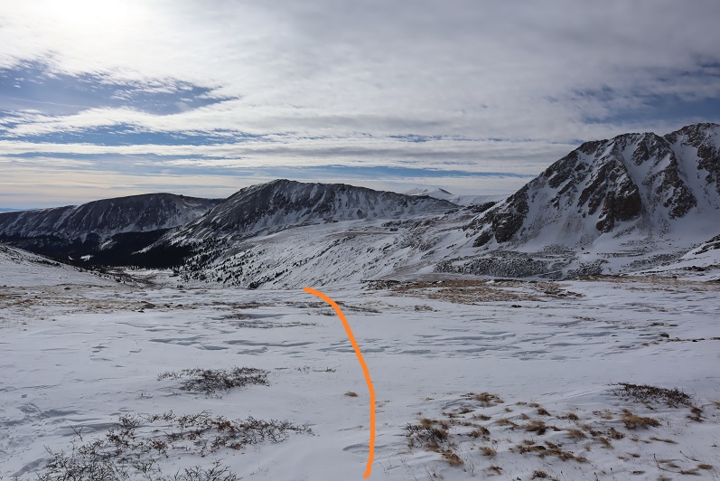
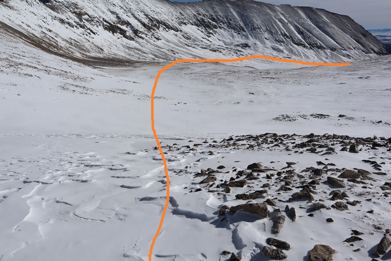
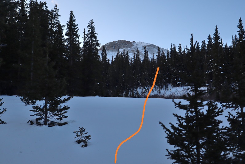
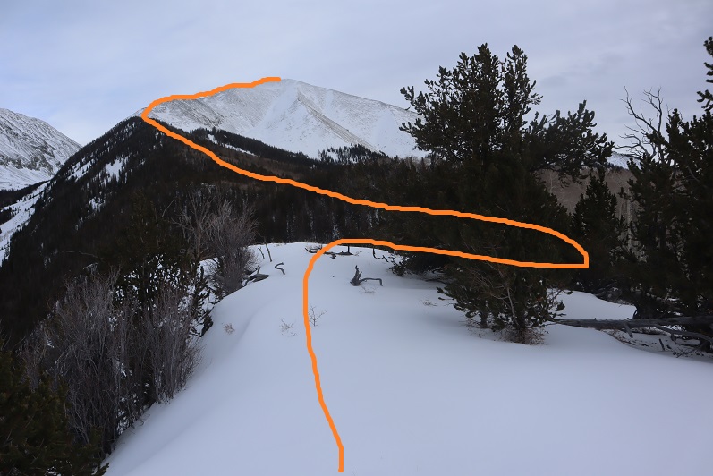
I’d make it to what I thought would be the treeline, only to find more trees ahead of me. Here’s a look at the route from one such area
15

More trenching through the trees

16

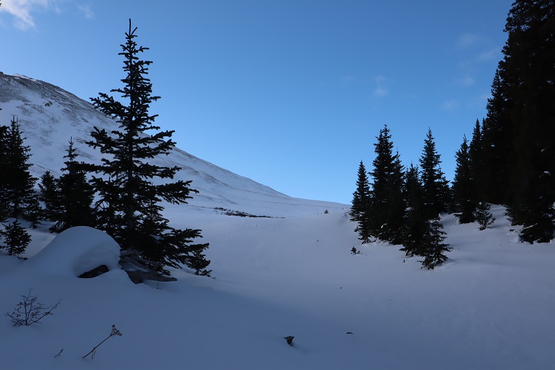
And I came to an area so thick with snow it was untrenchable. I was exhausted and seriously considered turning back:  where was treeline anyway?!?!  Last week I’d had to turn back on Rinker Peak due to unconsolidated snow, and I really didn’t want to repeat the same scenario twice. I decided instead of continuing along the ridge to descend a little to the south to see if the terrain was any easier, and it was!  I came across a rocky area and easily traversed a little below the ridge and then regained the ridge (to more snow)
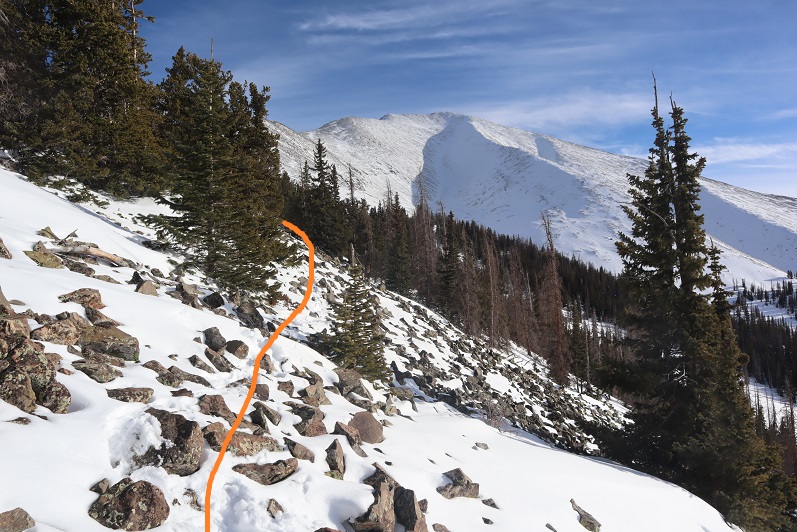
17

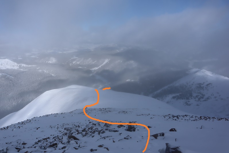
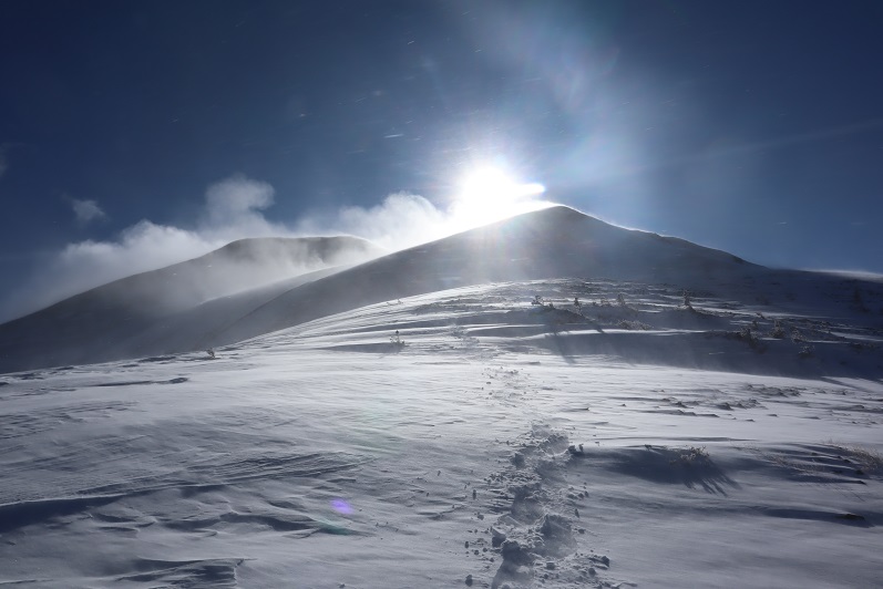
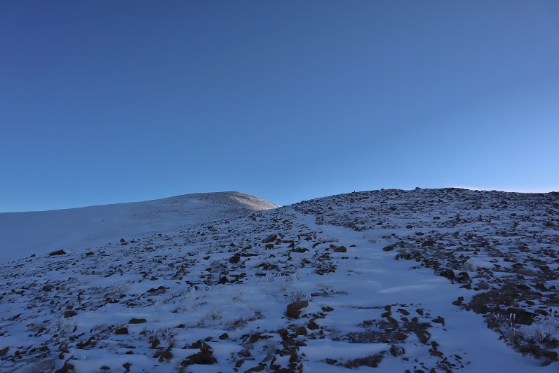
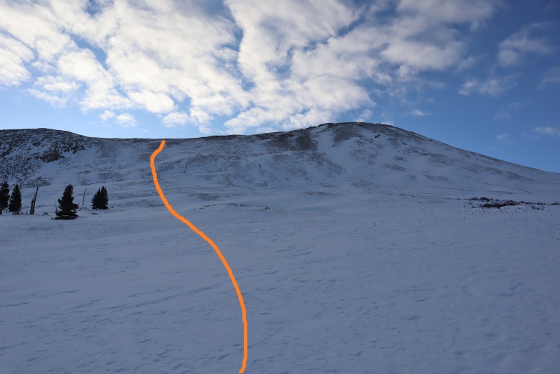
I (finally!) exited treeline and had just a little bit more trenching to do before taking off my snowshoes and tackling the rest of the route in just microspikes. Up until this point I wasn’t sure I was going to complete this hike:  all that trenching had worn me out and I thought I’d never make it to treeline.   Several times I’d thought about turning back, but I’d put in so much work I didn’t want to give up.  This clear view of the peak renewed my spirits and I was ready to go.

18

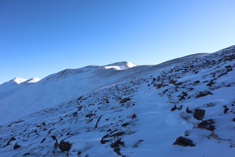
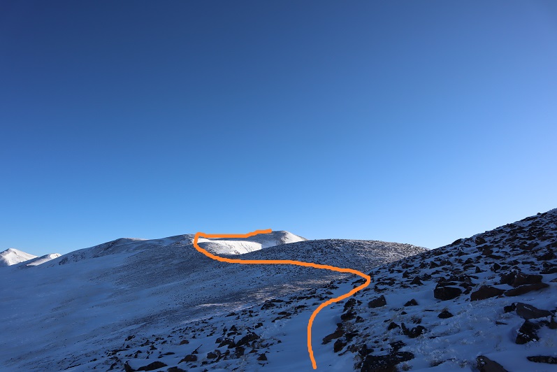
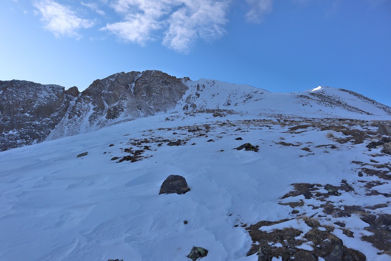
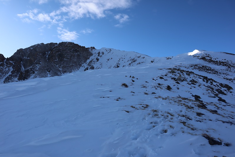
I could see the summit ahead of me and it was a nice day: warm with no wind.  I thought taking off my snowshoes would be a good idea and could also save some valuable time.  In the beginning, this was a good idea.  I was able to quickly rock-hop up the ridge
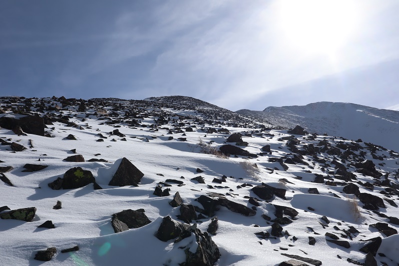
19

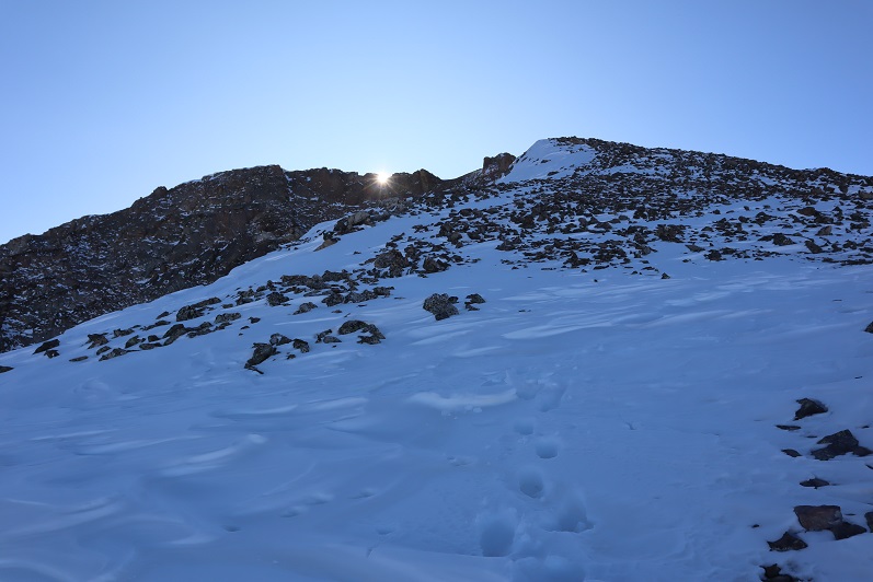
After gaining the first bump however, things changed. The snow was no more consolidated here than it had been before treeline.  In fact, the snow was 4-6 inches deep:  a thin layer over rocky terrain.  The snow never held my weight and I frequently postholed in areas where I could easily have twisted an ankle.  I was cursing myself for taking off my snowshoes, and would have put them back on except the wind had now kicked up and I was afraid to take off my gloves because of the exposure.  I was just going to have to be careful and rock-hop whenever possible.
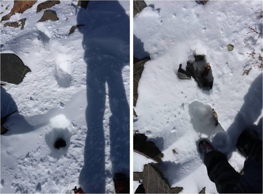
20

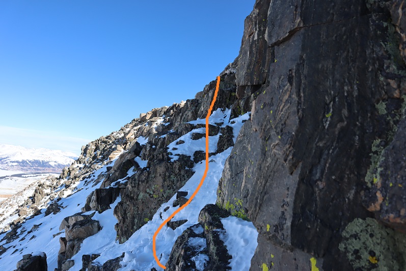
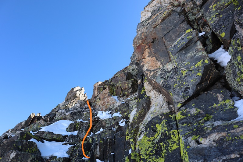
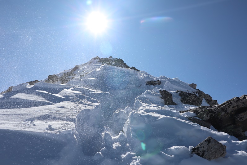
I followed the ridge as closely as possible, but those cornices were weak. I kept postholing in the shallow snow and my feet were becoming frozen.  I wasn’t giving up though:  I could see the summit!

21

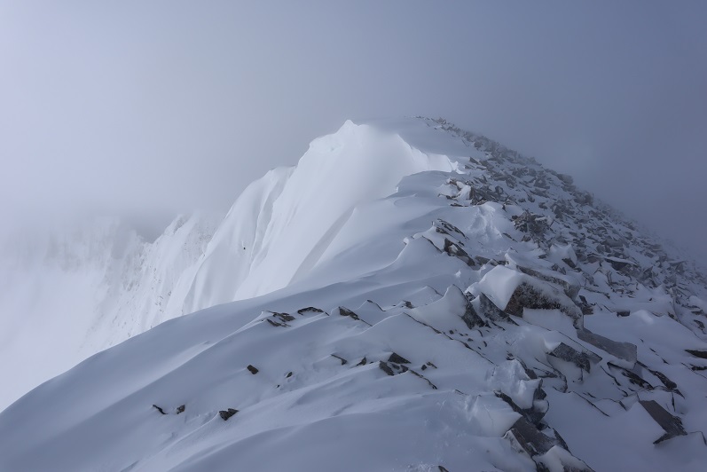
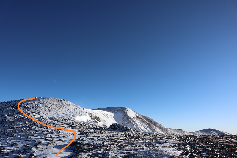
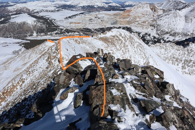
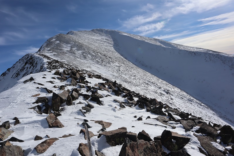
Here’s a look at Twin Peaks B (unranked) and Twin Peaks A. There was a lot more snow at the summit than I’d been able to see from below, those cornices are bigger than they look, and once again, hollow.  I followed the ridge to the summit.
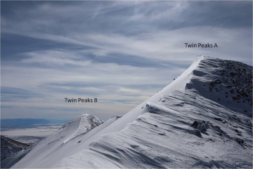
22

I took a few steps up the cornice to try and get as high as possible and heard a hollow sound below my foot. I quickly retreated: In no way was I going to climb to the top of the cornice.

23

I found the summit wind break, set up my camera on top of my backpack, got a (terrible) picture, and decided to book it back down. I wasn’t going to play with that cornice.
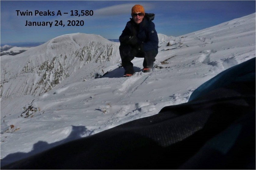
24

I had no desire to climb Twin Peaks B today as well: The cornices were hollow and I would need to go over one just to start, that wind was becoming insane, and I could no longer feel my feet.

25

Time to head back down the ridge

26

27

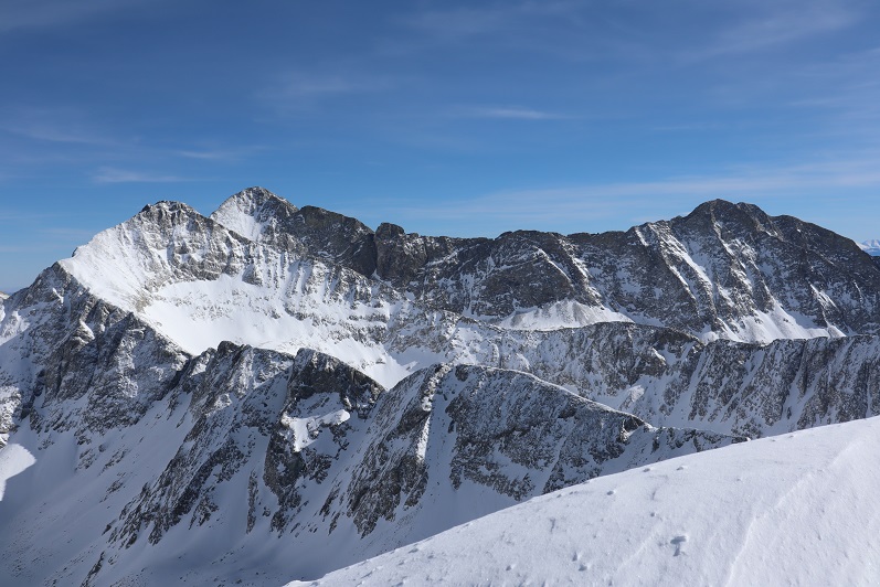
There were some great views along the way of Lindsey, Ellingwood Point, Blanca, and Little Bear

28

29

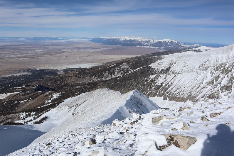
And also the Sand Dunes

30

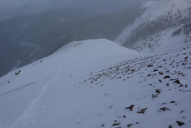
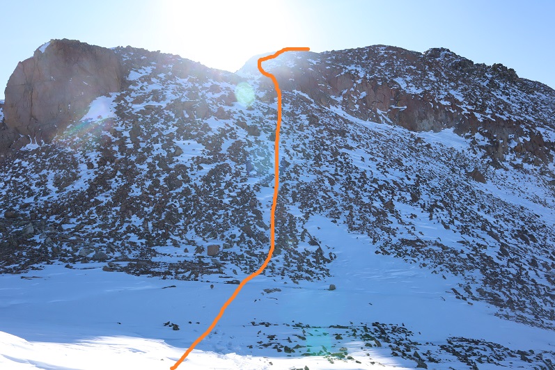
Here’s the rest of the route down the ridge and back into treeline
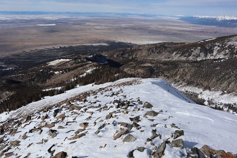
31

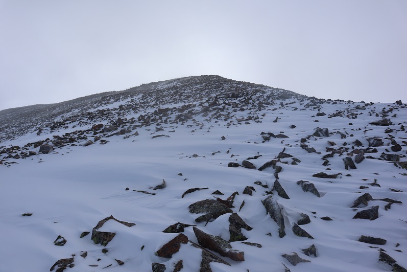
And a look from treeline up the ridge

32

I stopped to put back on my snowshoes at treeline and headed back to the trees, carefully retracing my steps and making my tracks into a solid trench. This is more tiring than it sounds.

33

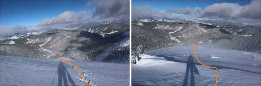
I followed the ridge and in a small clearing between hills saw what looked like a reverse shadow far ahead of me. Anyone know what this is?
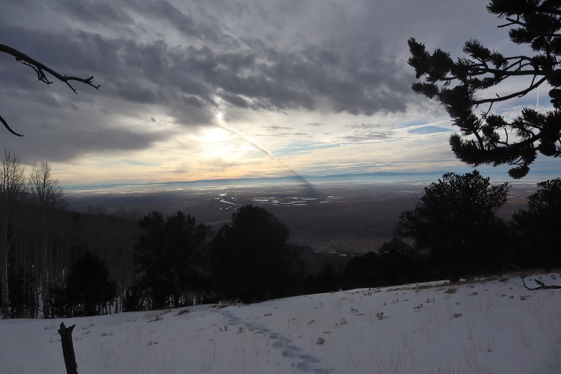
34

I made my way back to the cabin

35

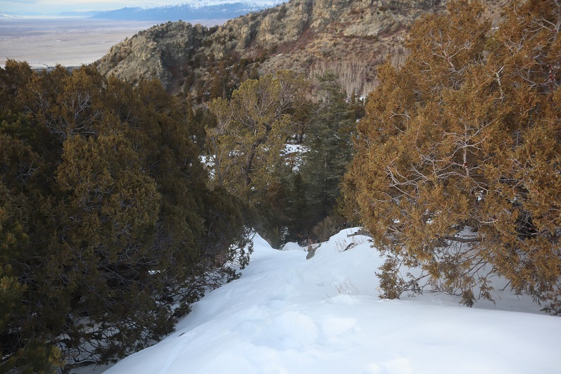
And decided to keep my snowshoes on for the rest of the trek back to the trailhead. Here’s the way down the ravine
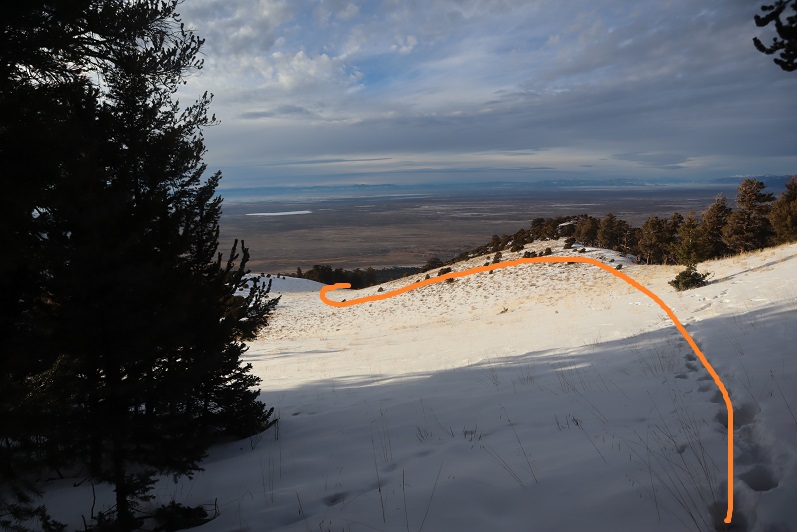
36

And down the ridge

37

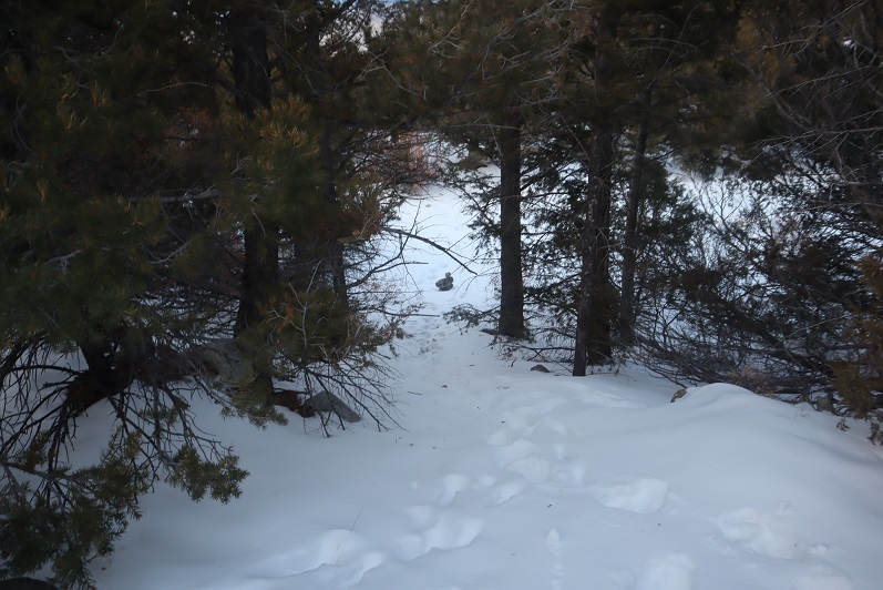
Back to the Zapata trail

38

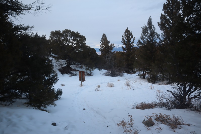
It had been a long day, and it was starting to get dark. I’d originally wanted to visit Zapata Falls while I was here, but looking at the time I wouldn’t make it there until after dark.  I’ll just have to come back when I’m here later this season. The trail was easy to follow from here
39

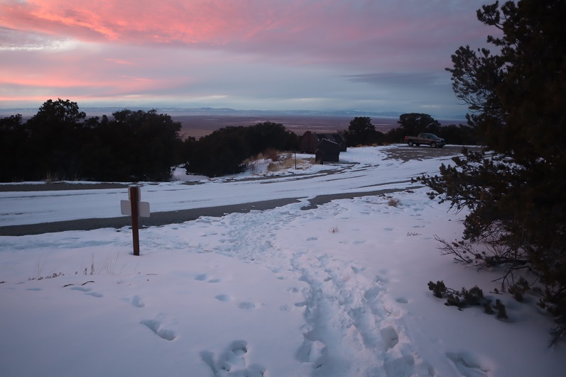
Back to the trailhead.

40

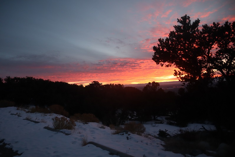
I watched an absolutely stunning sunset as I broke down my gear and got ready to head home.
41

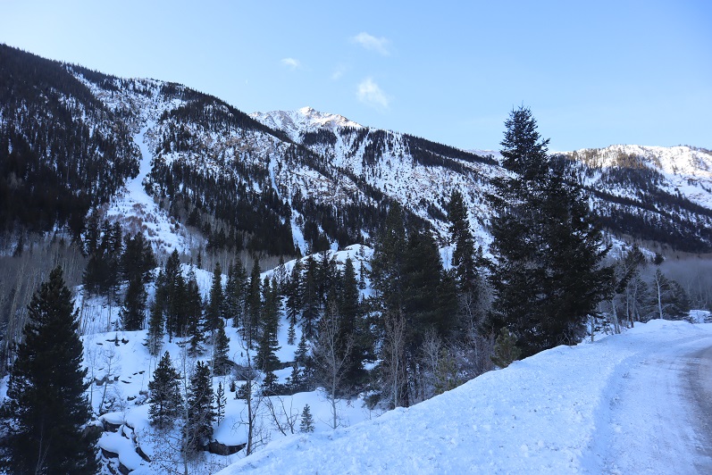
I made it back to my truck at 5:30pm, making this a 9 mile hike with 4625’ of elevation gain in 11 hours. This was by far the most tiring day I’ve had trenching ever, but totally worth it!

42

Rinker Peak (winter attempt)

1

RT Length: 6 miles

Elevation Gain: 1500’

Note:  My successful summit of Rinker Peak can be found here.

winter. That time of year when I should stick to the peaks below treeline but find myself tempted by good weather and attempting higher summits anyway.  Each time I go out I’m reminded there’s a lot I still don’t know.  Today was such an event.

The weather was cold but the wind was forecasted to be nonexistent so I decided to attempt a ridge route. I picked the ridge with the best weather and made it to the trailhead while it was still dark.  Well, in actuality the Willis Gulch Trailhead was under several feet of snow so instead I parked along Highway 82.  It took me about half an hour of driving my truck back and forth along the side of the road, packing down the snow to make a parking space I felt comfortable getting out of on my return. I felt the time was well spent.

2

I put on my snowshoes and travelled a quarter mile down Highway 82 towards the trailhead. It was 9 degrees outside and I had on my new balaclava.  Brrrr!

3

From the road I was pleased to find there were tracks indicating the trail. I followed them south

4

Crossed a bridge

5

And followed Trail 1471.

6

The trail was well trenched and I was getting excited for today’s climb. There were two ways to climb this peak:  One is to take the ridge, and the other is to take the gulch.  My preference was to take the ridge but when I got to the place where I was supposed to begin ascending there was too much snow to make it possible.

7

There wasn’t a trench indicating anyone else had attempted this route since the last snow, and when I attempted it myself I sank up to my waist. Oh well, I guess I’d just continue following the trenched route and try the gulch instead.  I continued on towards my second option

8

Passed a snow covered bridge

9

And continued following the well defined trail

10

I came to a junction for Little Willis Gulch and Big Willis Gulch, where I turned right (west) aiming for Big Willis Gulch.

11

Here the well defined trench stopped, but luckily there was still an older, snow filled trench I could follow. I was postholing but at least I had a trail to follow.  The trail had tons of rodent footprints scurrying back and forth on the new snow.  I was able to follow this trail as it crossed the creek again.  This log bridge was ‘fun’ to traverse while wearing snowshoes

12

I crossed the logs and followed the trail for about 10 more yards before it abruptly stopped. Hmmm…. Maybe this was the wrong way?  I retraced my steps, crossed the stream again and went a little more south, following tracks again.  These tracks ended sooner than the last; it looked like they’d stopped because the trees were too dense and turned around.  Whoever had trenched this trail hadn’t gotten further than here and decided to turn around.  Twice.  Once again I backtracked and crossed the stream a third time (in snowshoes) intent on trenching my own trail if there wasn’t one established.  I reached the area I’d previously stopped and took one step forward

13

And sank up to my chest in snow. The only thing that kept me from sinking further was my backpack.  It took me about 10 minutes to backwards-wriggle out of the snow, and when I was safe decided to call it a day and head back to my truck.  I wasn’t thrilled with this decision, but I also knew it was the right one.  There was no way I was going to be able to continue here without skis.

As I was trudging back the thought occurred to me if I’d have taken the ridge up and headed back down the gulch in a loop as I’d originally planned I could have ended up in a very dangerous situation: If I wasn’t able to go any further from this angle, just imagine the predicament I’d be in if I’d successfully summited via the ridge and went back down to the gulch, only to discover the snow was too deep to traverse?  I’d have been stuck in the gulch, or I’d need to re-ascend thousands of feet in elevation to gain the peak to exit, making for a very, very long day.  Instantly my mood improved:  Today was worth it after all, as I’d learned an important lesson:  in the winter, if doing a ridge route, always return the way you summit.  I re-crossed the bridge

14

And followed the side of the mountain back towards the trailhead

15

16

In the daylight, Lake Creek was beautiful!

17

I made it back to the road and back to my truck, where the temperature read 12 degrees and I had frost in my hair.

18

So in the end I didn’t get in a full hike today: Only about 6 miles with 1500’ of elevation gain.  I was bummed because I had so many options for hikes today and chose one I wasn’t able to complete, but I was glad I’d at least learned a valuable lesson (or two:  I should have picked an easier peak, but didn’t want to re-summit something I’d already done.  Next time I’ll take the safer option).

19

Mount Guyot – 13,370

1

RT Length: 8 miles

Elevation Gain 3115’

Time: 5.5 hours

As seems to always be the case, my plans changed last minute. The weather’s been so cold and windy lately I’ve been highpointing closer to home, sticking mainly to 9K and 10K peaks with less snow and warmer temperatures. I’m helping someone learn how to route find, but he has a minor heel injury.   Instead of hiking today closer to home he wanted to rest it for next week.  So I did a quick search and the best forecast I could find for a peak on my list showed 0-6 degree low/high temperature with 30mph gustss at the summit.  This would put wind chill in the negative 20s.  I debated back and forth and finally just decided to go for it:  I could always turn back, but there would be trenching involved, so at least I’d get in a good workout.

I’d wanted to be on the trail by 5:30am but I drove to the wrong trailhead. Actually, Google didn’t take me to a trailhead at all, and when I checked my map realized I was about a quarter mile away but needed to drive for a bit to make it to the correct place.  No worries though, because it was still dark outside and snowing, and I was hoping the snow would let up before I started.

When I made it to the French Gulch Trailhead it was still snowing, and a balmy 9 degrees outside. The road to the trailhead was plowed and packed down.  I decided against putting on my snowshoes right away and attached them to my pack instead.  I did put on my microspikes.

2

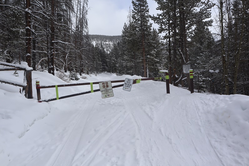
At 6:15am I started to the left of the trailhead sign, following the 4WD road past the closed gate.

3

4

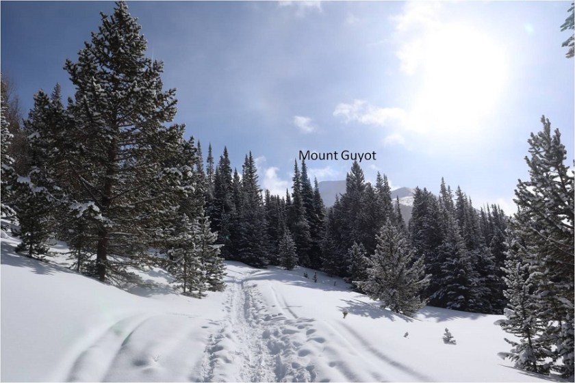
It was snowing lightly and I could see the full moon through the clouds. It was a cool, quiet morning.  I followed the road until I came to the turnoff for Little French Gulch. Here I turned left and donned my snowshoes:  I was going to need them!

5

While the road had been pretty packed down the previous trench on the Little French Gulch trail had been filled with several inches of fresh snow. In most areas I could tell where the trail went, but the entire time I had to re-trench the trail.  I tried to see how deep the snow here was by probing it with my trekking pole, but the pole went all the way down and never hit dirt, so I’m guessing there was at least 5 feet of snow on the ground.

6

7

Last night, while looking at a topo map, I’d planned to leave the trail and head straight up the ridge just after the Little French Gulch turnoff. I realized this morning there was no way that was going to happen:  the snow was deeper here than it looks, and the first step I took I sank up to my waist in snow while wearing my snowshoes.  Nope.

8

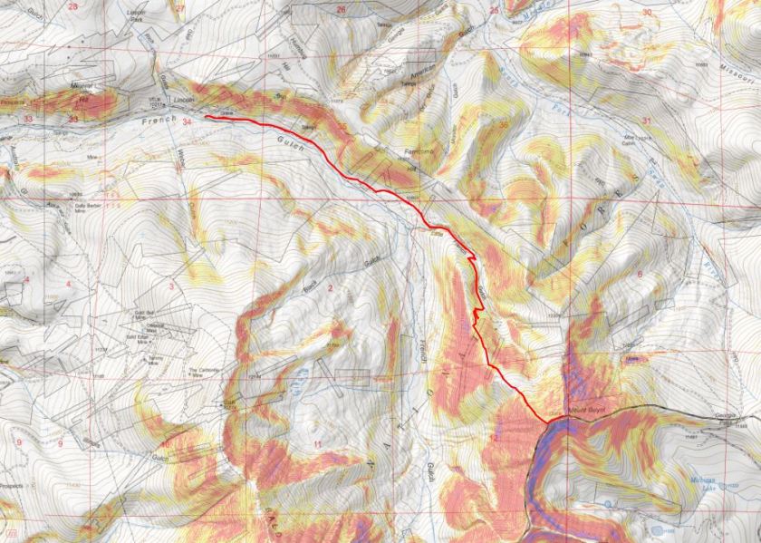
So instead I followed the trail to just below treeline, where I turned right (west) and headed up to the ridge, switchbacking as I went. (Side note:  I took many of these pictures on my way back down.  The snow was sugary and often times I’d trench up to my waist and my camera would get covered in snow.  It was so cold I was unable to get the snow off the lens, so the pictures are a little blurry).

9

To avoid any avalanche danger I tried to stick to the trees, close to the ski area

10

It stopped snowing just as I made it to the ridge. I turned left (south) and followed the ridge.  Here the snow was rather deep and sugary, and the wind picked up dramatically.

11

12

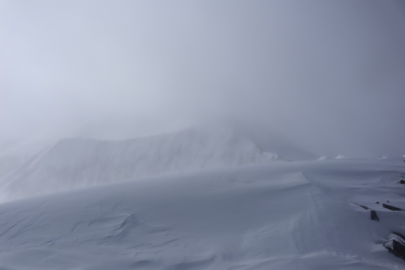
Once on the ridge the summit was obscured with clouds. Here the snow ranged from bare ground to several feet deep.  I kept on my snowshoes.

13

Instead of going over the bump I skirted it to the left (it’s a false summit that would be more obvious without the clouds)

14

There were several snow covered ‘trails’. I chose one of the higher ones.

15

Looking back down the ridge

16

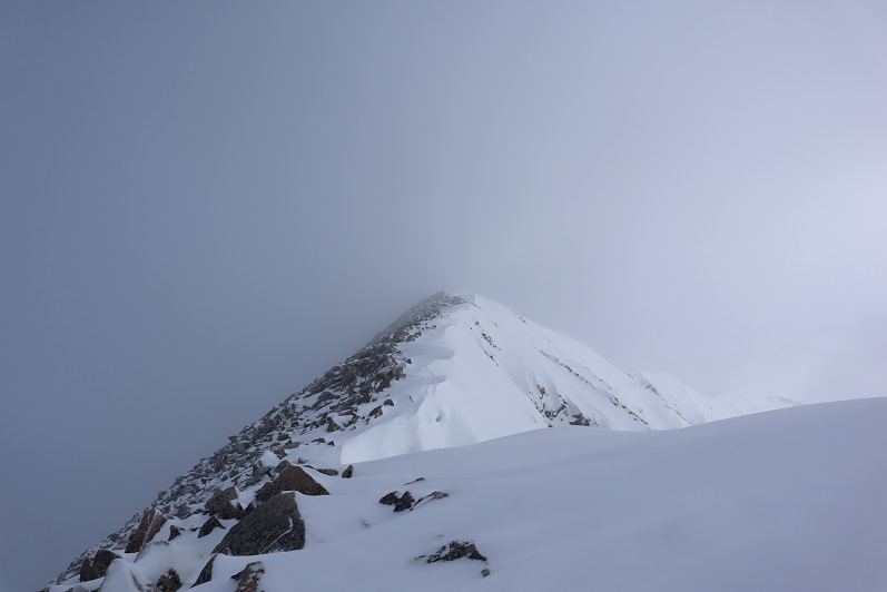
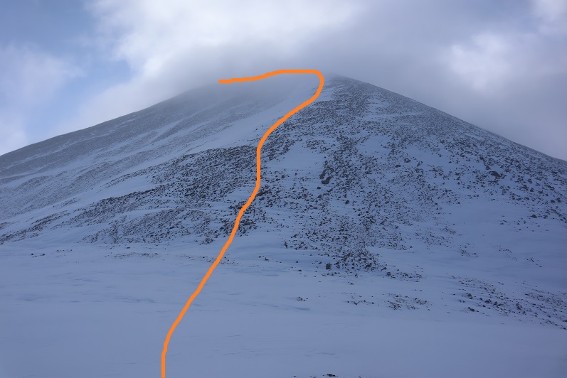
And at the rest of the route to the summit

17

While the snow had stopped and the clouds had lifted, snow was being blown from Bard Peak, turning into clouds, and blowing over Mount Guyot.

18

The wind was intense and I couldn’t see very far ahead of me due to ice crystals in the air. I considered turning back several times more than I’d like to admit, but I wasn’t beyond cold (yet) and I decided to keep going.  My toes still felt fine, and my fingers were holding up.  The ridge to the summit was mostly windswept, with a few areas of deep snow.  I kept my snowshoes on because I didn’t have the dexterity in my fingers to take them off, and I knew if I did I wouldn’t be able to put them back on again. This meant my final push to the summit ridge was slow, as I was basically carefully rock-hopping in snowshoes, trying not to twist an ankle.  Cold doesn’t begin to describe the weather:  I thought to myself how I was glad I was solo today:  everyone else I know would have turned back, and if I were with someone I would have had to turn back as well (with my Raynaud’s I have to keep moving and not take breaks, especially in the cold/wind).  I went straight up the ridge, sticking to the snow when possible to avoid the rocks.

19

20

At the top of the ridge I turned left (east) and carefully made my way to the summit

21

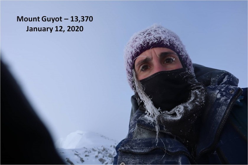
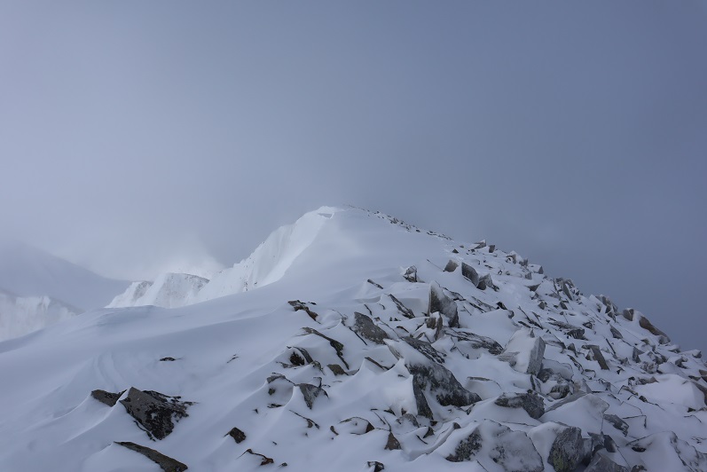
This area was fraught with cornices. In my snowshoes I tried to stick to the area of snow closest to the rocks, walking on the rocks when necessary to avoid the cornices.  It was cloudy when I made it to the summit, and I was cold.  Frigid even.  I kept pumping my fingers back and forth. I could feel the ice on my face, in my eyelashes, and on my hair.  Yes, frigid was a good way to describe the weather. I had sunglasses and ski goggles but couldn’t put them on because I had no dexterity in my fingers and told myself the sun wasn’t that bright anyway.  In no way was I risking taking off my gloves to get a photo of myself and I wanted out of this weather as soon as possible so I tried to take a selfie with my camera by just turning it around.  For some reason, I got a video instead (still not sure how this happens:  I should spend more time learning how to use my camera)

Summit Video:

I was finally able to get a picture (with my gloves in the way). I wasn’t about to try and get another photo.

22

There weren’t great summit views today.

23

I turned and headed back across the ridge. Check out those cornices!

24

25

Looking down the ridge

26

Most of my tracks were gone on my way back down.

27

I didn’t think it was possible, but the wind picked up even more on the way back down the ridge. 30mph winds seemed a low estimate for what I was experiencing now. Brrrr!

28

29

30

31

I was so excited when I made it back to treeline and out of the wind! Well, excited until I found the wind had covered most of my tracks and I had to re-trench them on the way back down.  The snow was soft and I frequently postholed up to my waist, causing me to twist and turn to get up, covering my snowshoes, clothes, etc. (and camera) with snow in the process.

32

After a few dozen yards the trail was once again easy to follow back down to the gulch

33

34

I’d honestly thought it would warm up when I made it back below treeline, but it didn’t. I’m kind of digging the frosted eyelash look…

35

I continued on the trail and came across some backcountry skiers with their dog. They thanked me for trenching the trail, and did a great job of smoothing it down with their skis.  I wished them luck, thanked them for smoothing my tracks down, and was on my way.  They gave me an odd look:  I smiled back, but I’m sure I looked a mess!

36

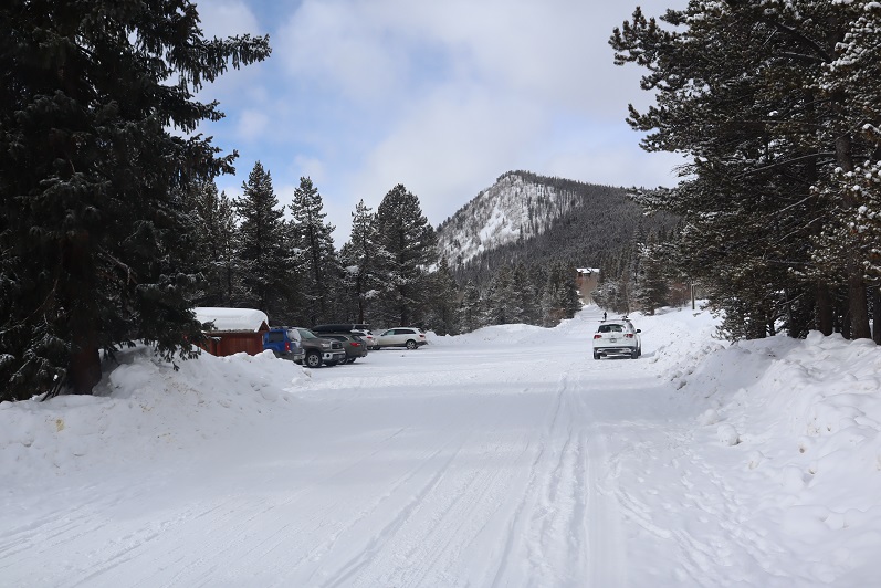
Back on the road I kept my snowshoes on just because I didn’t want to take off my gloves. It was still so cold out! There were now several cars in the parking area

37

I made it back to my truck at 11:45am, making this an 8 mile hike with 3115 feet of elevation gain in 5 hours, 30 minutes.

38

I was really glad I’d decided to hike above treeline today. I’d been a little put off due to the forecast, and I’d had to seriously push myself during the hike, but it had been worth the experience. It reminded me again when I have the option to go hiking or not, the answer is to at least give it a try.

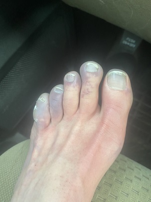
When I made it back to my truck I took off my snowshoes and hopped into the cab and turned on the heater to warm up. The temperature outside read 12 degrees.  Slowly, I re-warmed my hands and once my fingers were moving normally again I took off my shoes, socks, and outer jackets/layers.  I was happy to see my toes looked ‘normal’!  The ice in my hair was the worst:  it dripped onto my neck/shoulders as it gradually warmed and melted. I put on sandals and started my drive home.  About 10 minutes later my foot started throbbing.  I pulled over and drat!  My toes were blue!  I turned over my foot and the entire pad was blue as well.  So much for “operation no blue toes” this year.  I was so frustrated!  They’d seemed fine when I got back to my truck, why were they hurting and blue now?  After about 30 minutes they were back to ‘normal’ again, going from blue to a waxy red and eventually back to white.  No permanent damage, just a Raynaud’s attack (they only last about 30 minutes or so, and can happen in any weather, just most likely when cold).  One way to prevent them is to stop hiking in the winter, and that’s not going to happen, so I’m going to have to learn to live with the attacks or suck it up and take the medication (I’m not a fan of drugs, so this isn’t likely to happen either).  At least they’re not affected while I’m hiking.
39


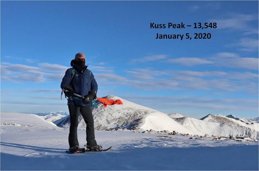
Kuss Mountain (UR) – 13,560, Mosquito Peak – 13,787, & Treasurevault Mountain (UR) 13,706

1

RT Length: 12 miles

Elevation Gain: 3409’

Time: 6.5 hours


I’ve been excited to head to the Mosquito Creek/Pass area since I was here last month. I’d avoided the area in the winter in years past, thinking it would be closed, but the 2WD dirt road in is actually plowed quite a ways.


2


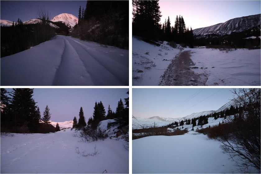
In fact, it’s plowed at least past the turnoff to Mosquito Pass, which is where I parked.


3


I started on the trail at 5:30am, wearing my snowshoes. I kept them on all day even though they were overkill at times.  The 4WD road was impassible in a vehicle, with the conditions ranging from bare dirt to ice and drifts with several feet of snow.


4


I followed the road, making fresh tracks as I went


5


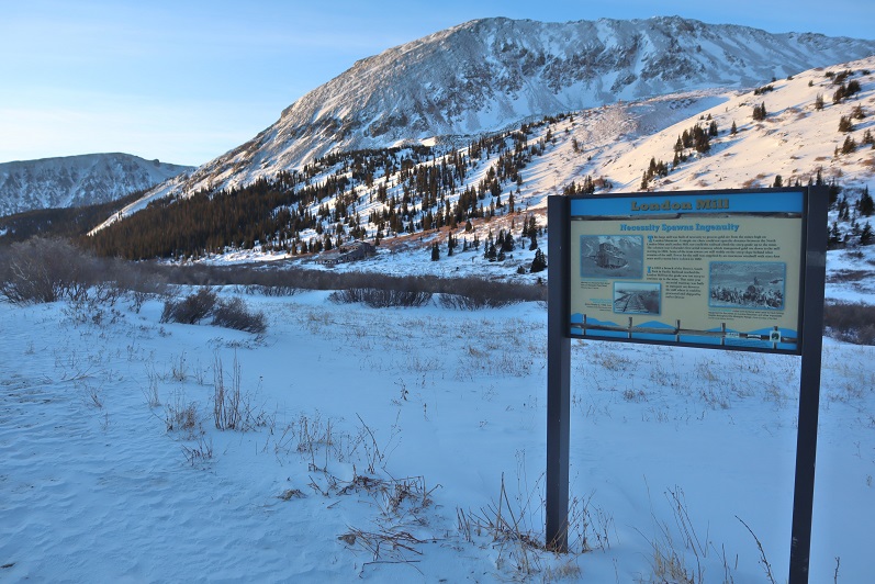
Passing the London Mill


6


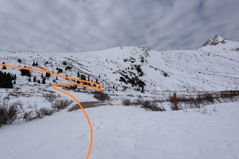
And hiking along the road for a few more yards until I reached the junction of 12 and 856. Here I turned left (west) and followed the snow covered dirt road


7


8


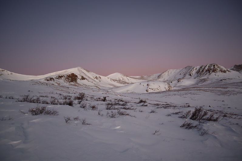
The road was covered in drifted snow and difficult to walk in, even with snowshoes. Around this time the ptarmigans began to wake up and the sun started to rise.  I could see the white birds flying against the pink landscape and thought to myself how lucky I was to be here right now.


9


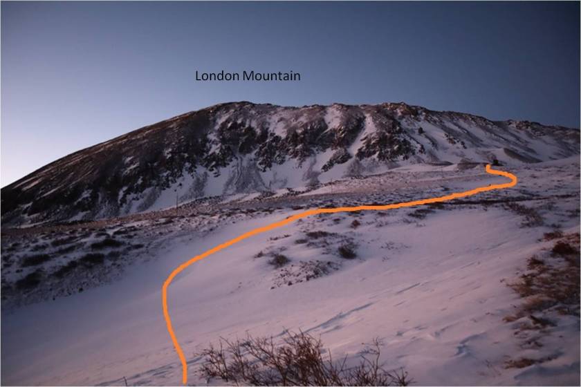
I continued following the road around London Mountain towards the North London Mine


10


11


12

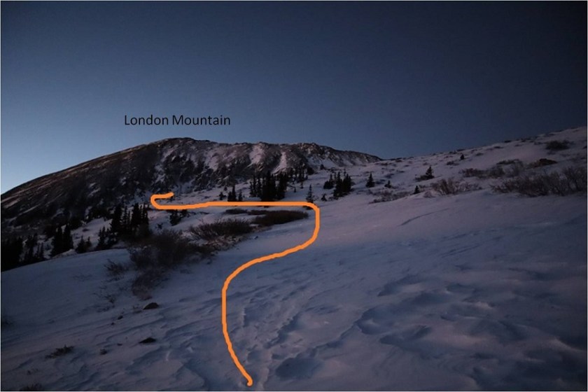
From the mine is where things got a bit tricky, as the road I was supposed to take was covered in snow.


13

It didn’t start out difficult, but about a quarter of the way to the London/Kuss saddle I switched my trekking pole for my ice axe. The path felt similar to the alleyway on Kit Carson and I was glad I was wearing my snowshoes:  a lot of the snow was consolidated but every few steps I’d sink up to my knees in an unexpected drift.


14


15


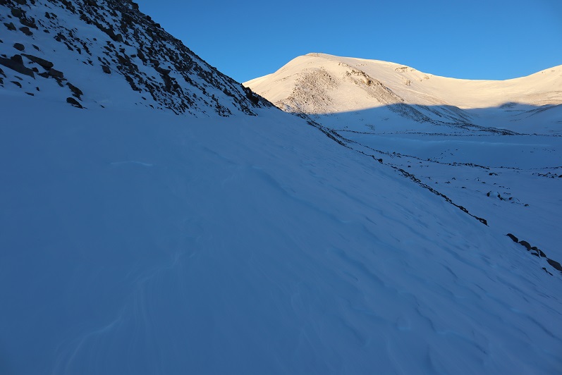
I breathed a sigh of relief when I finally made it to the saddle. From here it was a straightforward hike up the ridge.


16


I kept my snowshoes on, and they became helpful towards the end


17


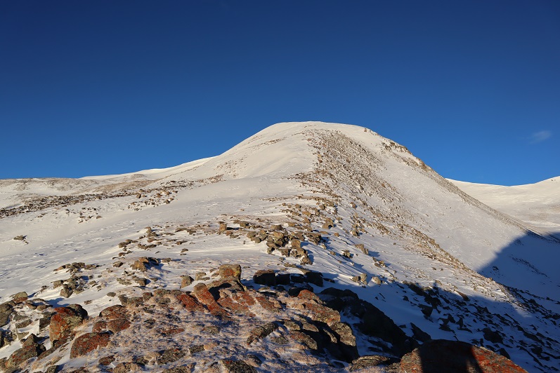
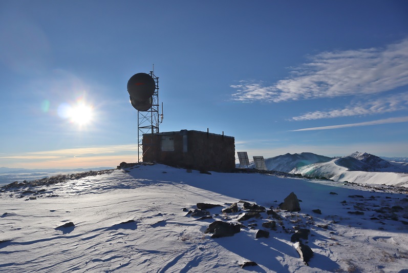
Cool findings at the top


18


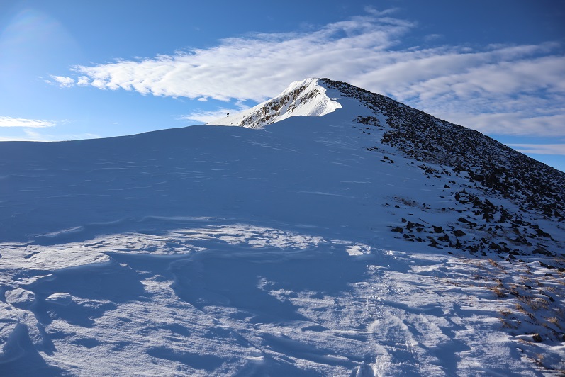
Also, it was windy


19


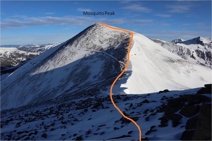
Making this a loop, next I was headed for Mosquito Peak. There were cornices the entire way, but sticking to the ridge it was easy to avoid any danger.  Snowshoes here were overkill but I was too lazy to take them off.


20


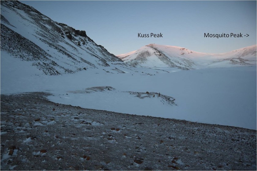
Looking back up at Kuss Peak


21


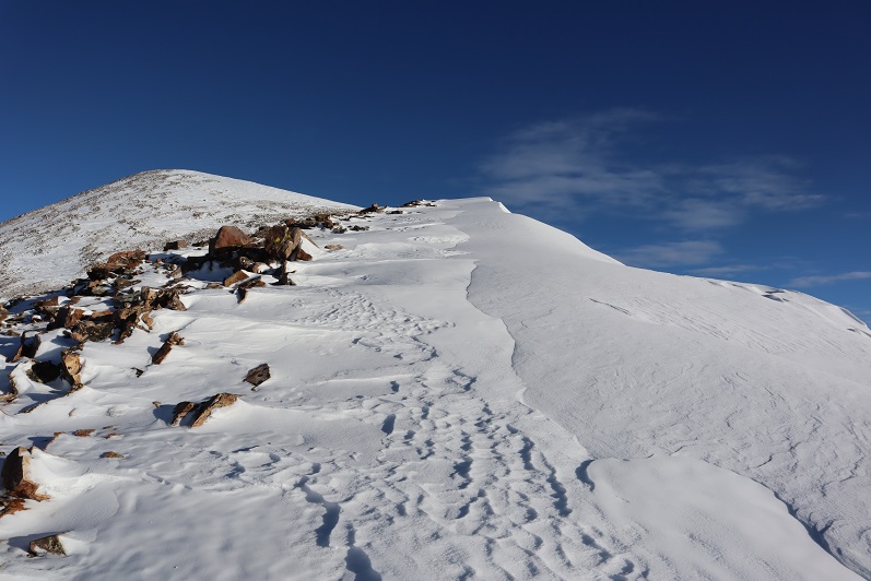
And up the ridge to Mosquito Peak


22


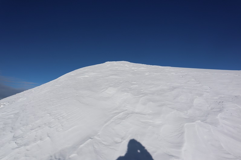
Snowshoes were helpful once again for the final push to the summit


23


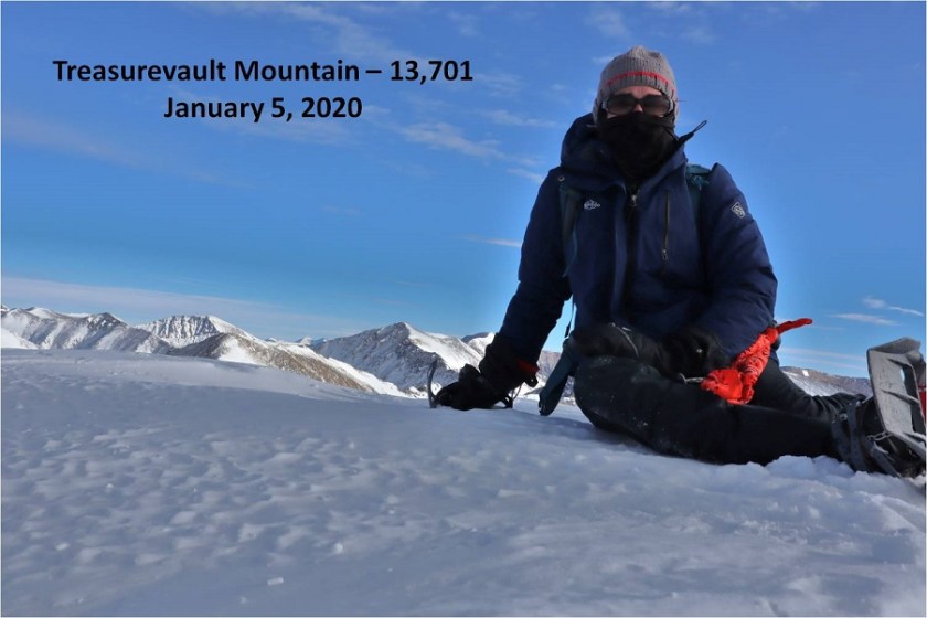
24


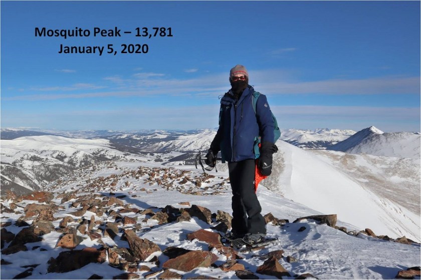
Summit photo


25


I was anxious to finish this ridge loop before the wind picked up this afternoon so I didn’t stay long on the summit of Mosquito Peak. I turned towards Treasurevault Mountain and immediately slipped on the soft scree/snow mix, landing on my knee.  Wonderful.  I could tell before I even hit the ground it was going to hurt, but picked myself up right away and headed down the side of the mountain, more careful now, realizing the snow was sugary atop loose scree and talus.


26


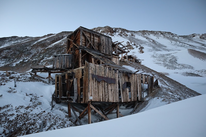
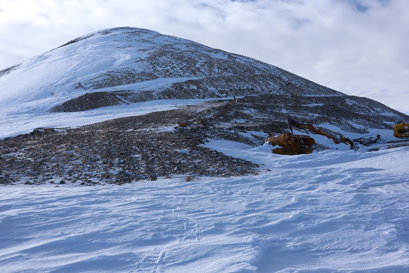
At the Mosquito/Treasurevault saddle I saw a bunch of mining equipment, which I thought was pretty neat for 13K+.


27


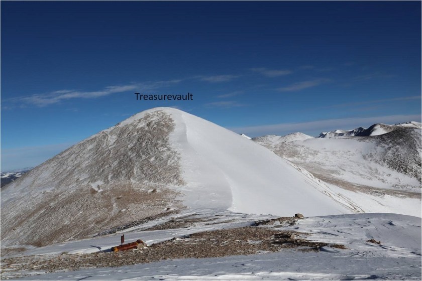
Here’s looking back up at the scree/snow that is the ridge down from Mosquito Peak


28


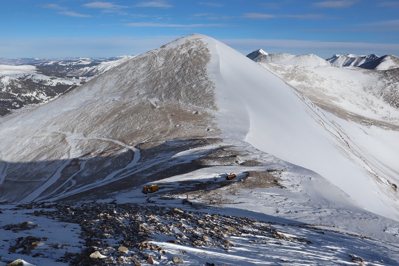
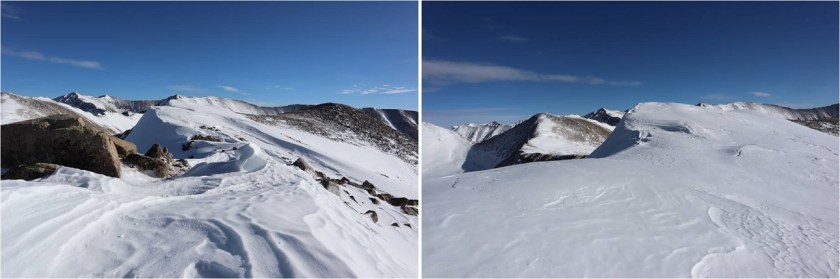
And a look up the ridge to Treasurevault Mountain. All three of these peaks had similar ridges to their summits.  Snowshoes were nice.


29


30


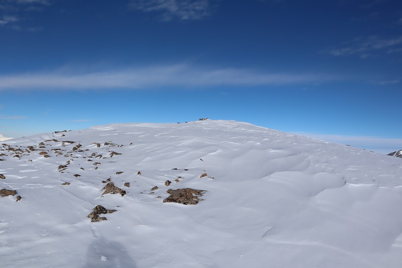
There weren’t any rocks to set up my camera on and my trekking pole was tied to my backpack so I just set it up on the snow for a picture. Not the best, but it gets the point across.


31


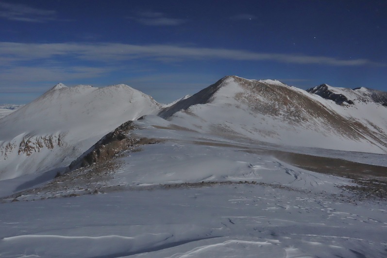
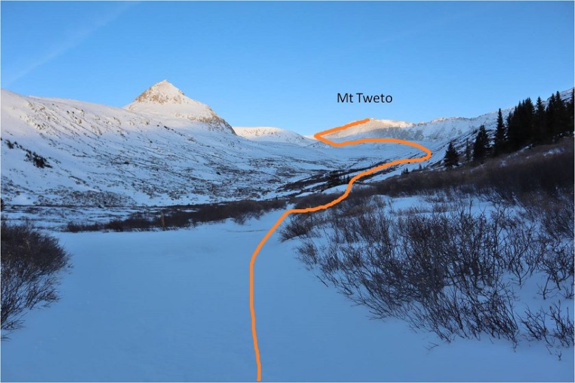
Completing the loop turned into a really long ridge hike from Treasurevault over to Mt Tweto, which felt more like 2 ridge hikes


32


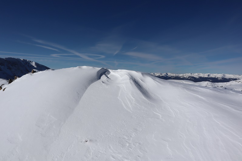
The cornices were fun to look at along the way


33


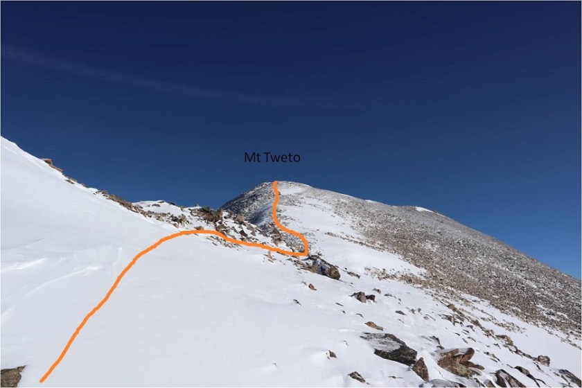
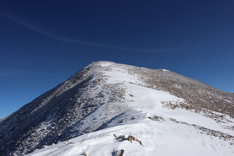
Just before the saddle with Mt Tweto the wind really began to pick up. I’d considered re-summiting Mt Tweto again today, but with the increased winds thought it would be best to just head back.  I’m kind of kicking myself for that decision now…


34


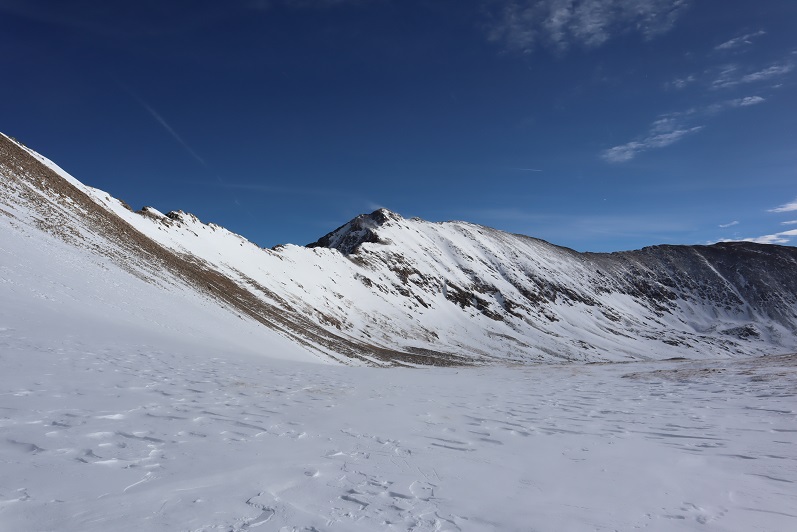
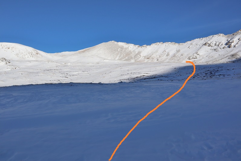
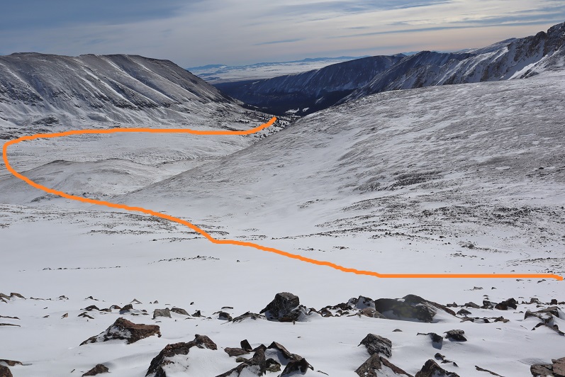
There was a lot less snow here today than there had been last month. Here’s the route back into the basin


35


36


And back up towards the saddle for Mt Tweto


37


Hiking out of the basin I aimed for the trail I’d hiked on the way in, making this upper part a loop


38


The snow here was sugary and I kept sinking to my knees while wearing snowshoes. Here’s another view of the route I’d taken up to the London Mine.  On my way out I was just headed back towards the road, as all the 4WD roads in the area were covered with snow and I couldn’t find them.


39


Here’s a look back at my trek out of the basin


40


I followed the snow packed 4WD road back out


41


And just before making it to the road noticed a recent (and small) avalanche slide.


42


I made it back to my truck at noon, just as it was starting to get really gloomy out. It felt like snow was approaching.


43


This was a really fun and easy winter hike. I look forward to exploring more of the area this winter, but will most likely do so from the South London Mine side next time.


44


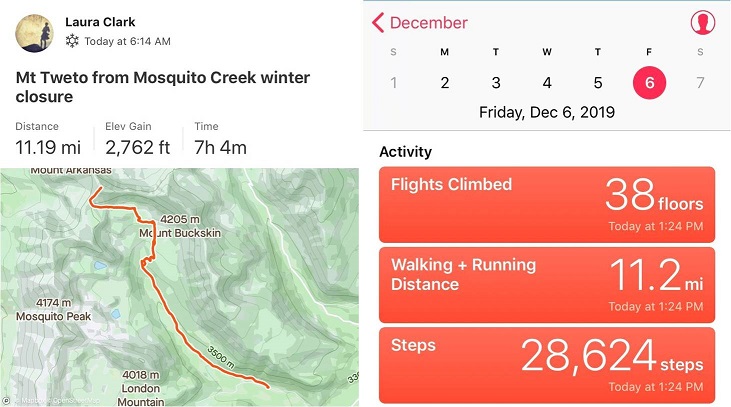
Mt Tweto – 13,672

1

RT Length: 11.2 miles

Elevation Gain: 2762’

My flight actually made it in on time and I drove from DIA to the Mosquito Creek trailhead starting at around 11pm. I70 was closed for rock mitigation so I used 285 instead (and passed fire trucks rescuing drivers from vehicles that had slid off the road).  I was a bit worried about the conditions of the roads since it’d snowed yesterday, but I had no trouble making it to Alma.  From there the 2WD dirt road was icy but drivable.

2

I saw signs indicating Mosquito Pass was open, but I was headed to the Mosquito Creek Trailhead. I turned off the 2WD road onto the 4WD road and drove up about 20 yards before deciding to turn my truck back around and just park at the junction.  I didn’t feel comfortable driving my truck through the snow on the road, and I knew it would most likely just get worse as the day warmed up.  So I parked my truck and since it was only 1:30am I decided to try and get some rest before starting the hike.

3

I set up my sleeping bag(s) in the cab, ate a few pieces of turkey jerky I’d made with Thanksgiving leftovers from last week, downed a few shots of whiskey and I went to sleep. My alarm was set for 5:30am, and although it was 12 degrees outside and the wind was howling I was warm inside my sleeping bag inside the cab of my truck. When the alarm rang at 5:30am and it hadn’t even begun to turn light and that wind sounded less than fun I made the decision to re-set my alarm for 6am and got in another half hour of sleep before starting the trail at 6:15am.

I was immediately glad I’d decided to park where I had. Just following the road the conditions ranged from bare dirt to 6 inches of ice to 4 feet of snow.  There were quite a few drifts covering the road I wouldn’t have felt comfortable driving my truck through.   There was a constant wind coming through the lower basin, changing the drifts as it went.

4

I wore my microspikes from the time I left my truck until I made it back, but didn’t need snowshoes until I reached the London Mill.

5

After the London Mill the snow picked up on the 4WD road and I was postholing up to my knees, even with my snowshoes on. It was slow going and very tiring.  Here’s a look at the rest of the route

6

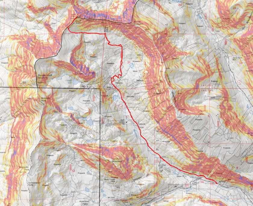
I followed road 656 into the upper basin.

7

There wasn’t a ton of snow, but there was enough to completely cover the road in areas.

8

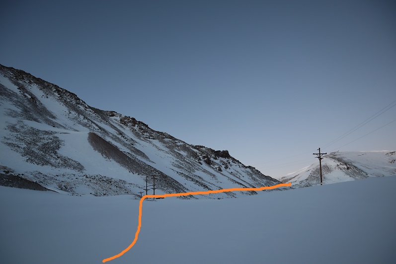
Once I was in the upper basin the wind stopped but the snow levels were still uneven. I made my way towards the aerial cable.  I could see what was left of it littering the mountain even from hundreds of yards away.  Here the road stopped.

9

I turned left and headed west

10

My goal was to gain the ridge. It was a straightforward snowshoe with no large rocks/obstacles to overcome.

11

It’s steeper than it looks, but I didn’t need to put the risers up on my snowshoes.

12

13

Once on the ridge the wind picked up again, but it wasn’t giving me a headache like I’d had on Mt Flora.

Side note: for those of you who remember the curious headache/nausea that caused me to turn back after summiting Mt Flora instead of hiking the ridge, I found out what happened (and no, it hadn’t been the wind).  Before hiking Flora I’d woken up in the middle of the night and needed a quick drink, so I went to the fridge and half dazed with my eyes squinted closed to block out the fridge light found some iced tea in the back and chugged it straight from the container.  It had tasted awful, but I hadn’t thought much of it.  I travel to China for work and bring home loose leaf tea, which my kids love to make.  Sometimes it has a curious taste/texture.  The next day I’d had a terrible headache accompanied with nausea while hiking above treeline and attributed it to the constant wind.  Well, a few days later I was cleaning out my fridge and when I found the tea in the back of the fridge I noticed what I’d thought had been leaves had actually been mold: Big clumps of mold floating in the tea and covering the sides of the container.  Thinking of how I’d swallowed a good cup or more of that stuff made me nauseous all over again, and I felt lucky a headache was all that had happened.  The container was beyond cleaning so I threw it away.  Needless to say, I will be looking much closer at my late night drinks in the future. 

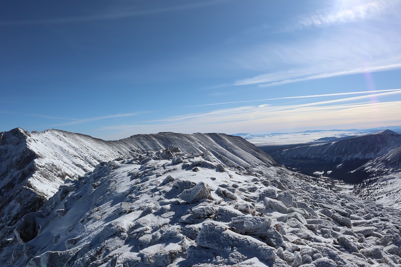
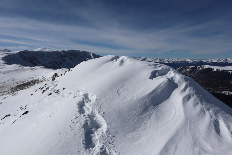
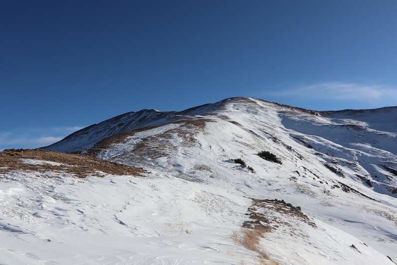
I followed the ridge north. There were a few cornices forming on the ridge making snowshoes helpful and just enough rocks to slow me down.

14

15

16

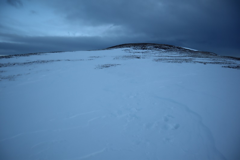
Towards the top the wind really picked up and you could actually see the cold. I kept on my snowshoes even though they were overkill.  I just didn’t want to take them off to put them on again in the cold and wind.

17

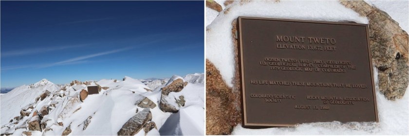
As I got closer to the top I noticed a plaque to the left of the summit and went to get a closer view

18

The actual summit was just to the right (east) of the plaque

19

I summited at 10:20am

20

Summit Video:

I hadn’t seen my daughter all week because I’d been in Florida for work, so I decided to just head back the way I’d come instead of heading over to hike Treasurevault, Mosquito, etc. It was my goal to be back home when she got home from school, so I turned around and headed back down the ridge

21

I followed my tracks back down the ridge

22

Back through the basin and to the 4WD road.

23

24

Most of my tracks were gone in the upper basin, but once I made it back to the road they were easy to follow. I did my best to make a trench, but it could use a few more people on the route.

25

26

I was once again glad I’d decided not to drive the road up.

27

I started this hike at 6:15am and finished at 1:15pm, making this an 11.2 mile hike with 2762’ of elevation gain in 7 hours. I didn’t see another person hiking all day.

28

29

I made it home in just enough time to take a shower before my daughter came home from school. She was a little sheepish when she walked in; the kitchen was a mess with dishes in the sink and on the counter and opened packages and mail all over the place.  She’d thought she had another few hours to clean up before I arrived.  I was just happy to see her.  We chatted and cleaned up the kitchen together before making dinner and heading to the ice rink.

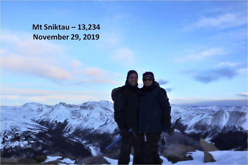
Mt Sniktau – 13,234

1

RT Length – 3.7 miles

Elevation Gain – 1474’

I’ve already climbed Mt Sniktau before so this isn’t much of a trip report but more journaling. A detailed trip report of Mt Sniktau can be found here.

Steffen asked me to take him hiking a 13er and to be honest the weather everywhere in the state was terrible for today. We’re talking 50+ mph winds and snow.  Lots of snow.  In fact, Mt Sniktau had snow forecasted to begin at 11am, so I figured we should start early.  He met at my house at 3am and we carpooled there.  I drove, and found it odd to have someone else to talk with in the car.  There was rock mitigation work along I70 which seemed to come out of nowhere but I was glad they were working on the problem (large boulders landed on the road, blocking an entire lane).

We arrived at the London Pass trailhead at 5:45am, the only ones parked in the lot, and spent some time in the truck putting on our snowshoes and gear. It was dark so I couldn’t tell if we needed snowshoes or not, but figured it best to put them on when it was warm and take them off if necessary.  Another vehicle pulled into the lot and a man started hiking a little before we did.  We started on the trail a little after 6am.

There was a faint trail in the snow up the ridge, and after about 100 yards there was enough light to see we didn’t need snowshoes so we took them off. We quickly caught up to and passed the hiker in front of us, who was intent on “Cupid” and maybe Grizzly.  We wished him luck and followed the ridge.

3

The forecast called for snow and it looked like it was rolling in. Luckily we were always in sight of the trailhead so I wasn’t too worried about the weather.

4

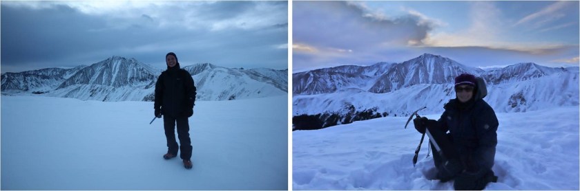
Steffen was doing great physically but was having minor difficulties breathing so we took breaks every now and then so he could catch his breath. He was a champ though and did a great job keeping up and not complaining.  We followed the ridge to the summit.

5

6

There’s a large cornice on the top of Mt Sniktau Steffen had fun playing on, which terrified me a little…

7

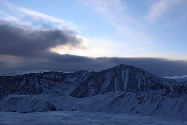
Looking at the weather over Grays and Torreys we decided it was time to head back

8

9

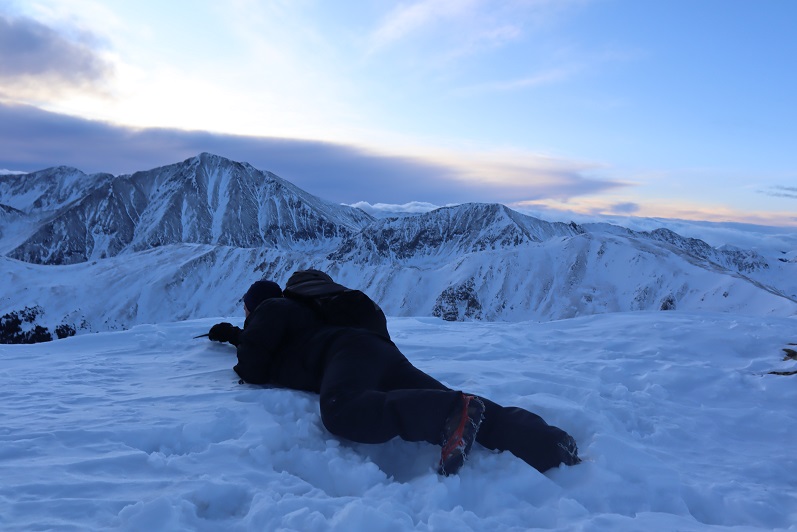
Along the way I taught Steffen a little about how to self arrest with an ice axe and he spent some time practicing. This is a really good skill to know how to use when climbing in winter conditions.  Remember to keep those spikes up!

10

We didn’t see another hiker the entire day, which seemed odd for this peak. It’s a popular one even on bad weather days because the trailhead is accessible and this is an ‘easy’ 13er.

11

We made it back to the truck at 8:30am, making this a 3.7 mile hike with 1494’ of elevation gain in 2.5 hours. The weather had been a bit gloomy but not too windy and as an added bonus we missed the snow!

12

On our way home we discovered why no one else was out hiking Mt Sniktau today: I70 was closed where the rock mitigation was this morning and there were backups for miles and miles and miles in both directions as drivers exited and had to find an alternate route.  It didn’t look like anyone was going skiing/snowshoeing/hiking here today, and to make it worse this was a holiday weekend. It was a good thing we left so early:  we were lucky to have missed the traffic!

Colorado Mines Peak – 12,493 & Mt Flora – 13,129

1

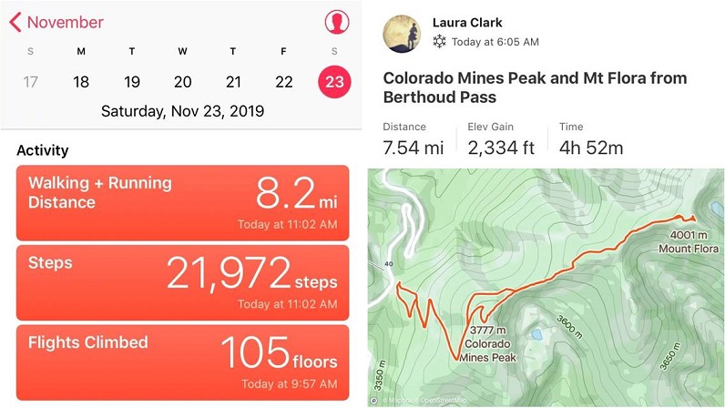
RT Length: 7.75 miles

Elevation Gain: 2334’

The weather always wins. The day before this hike instead of getting 1-3” of snow we got more like 8” and I’d spent quite a bit of time shoveling my driveway.  This extra snow occurred all over the state and the peak I’d intended to climb now wouldn’t have a reachable trailhead.  So I did the easy thing and just switched my plans to hike a peak with a 2WD trailhead.  Admittingly, I didn’t do much research and just left the house with a topo map and a vague idea of where I was headed.  Luckily this is one of those peaks you can do that with.

2

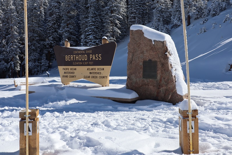
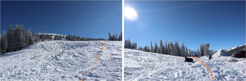
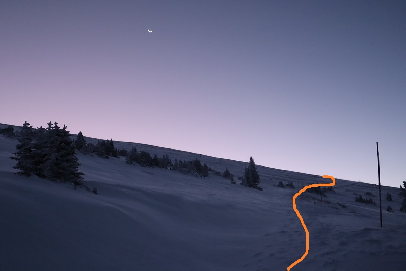
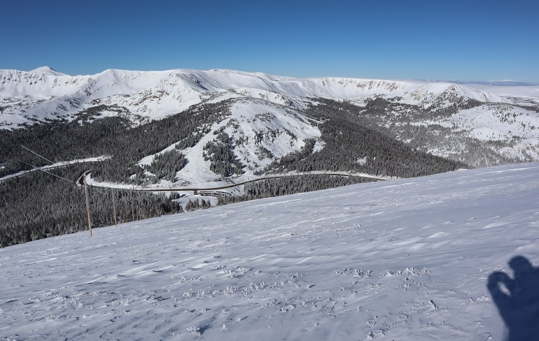
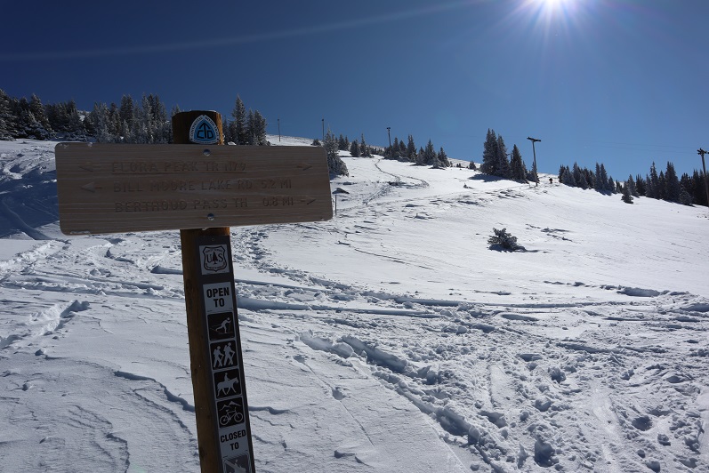
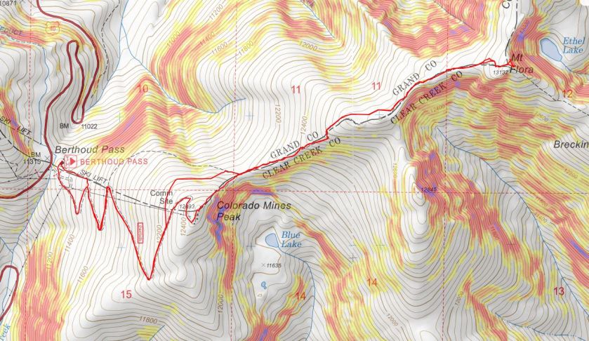
I’d never been to Berthoud Pass before and was surprised at how large the parking lot was. It was 12* when I arrived around 5am and I decided to put on all my gear while sitting in my truck.   Then I waited for a little bit of light before heading out.  It had snowed here quite a bit yesterday as well and there were several feet of fresh, sugary powder on the ground.  Since there were no tracks I wasn’t sure where the road/trail was so I just headed up the mountain (dotted line).  This was more difficult than I‘d expected, as I kept sinking up to my waist in the snow.  Snowshoes weren’t helping.  Eventually I made my way to a road (solid line) and realized where it went all the way down to the parking lot (whoops!) and took it all the way up to Colorado Mines Peak.   The road is located at the south end of the parking lot and without snow should be easy to find.  In the afternoon there were several tracks made to the road by others who’d known what they were doing.

3

The road was easy to follow because there were poles placed every 50 feet or so along the trail. I was postholing here as well, and my legs were getting quite a workout.

4

As soon as I was out of the trees the wind picked up and never stopped. It wasn’t more than 20mph, but it just wouldn’t let up.

5

6

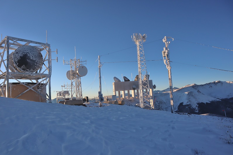
There wasn’t much route finding on this part of the trek, as the road was easy to follow all the way to the top of Colorado Mines Peak. At the top there were radio towers and buildings, etc.

7

I wasn’t sure where the summit was, so I just walked all around, taking pictures of the various structures.  They’re larger than they look.

8

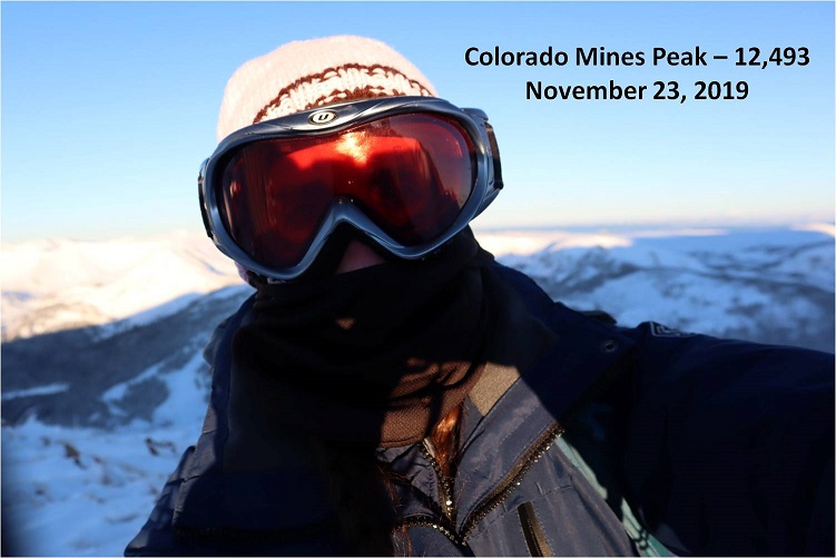
It was windy and cold and I didn’t feel like setting up my camera so I just got a quick selfie

9

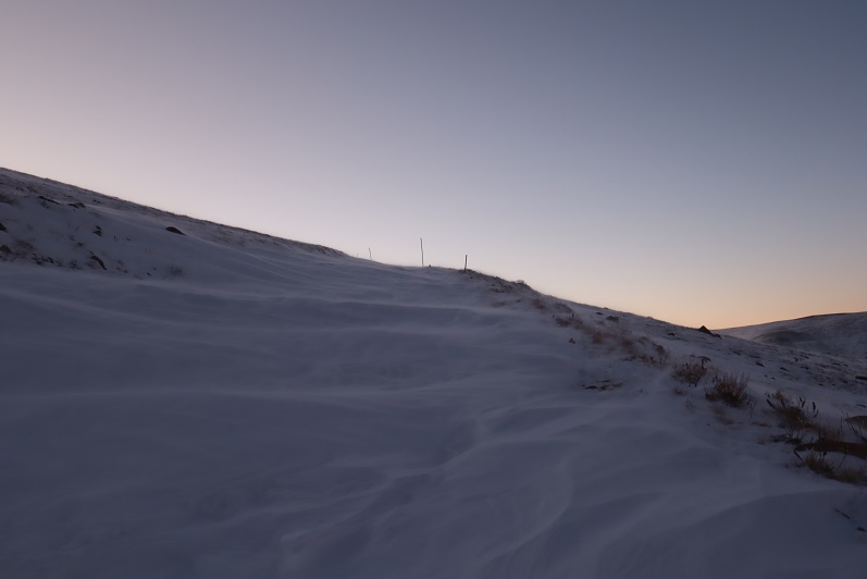
I didn’t see an established trail from the top of Colorado Mines Peak to Mt Flora, but I could see a trail heading up the ridge of Mt Flora so I headed northeast down the side of Colorado Mines Peak towards the saddle

10

The wind was still blowing, forming a cornice along the ridge

11

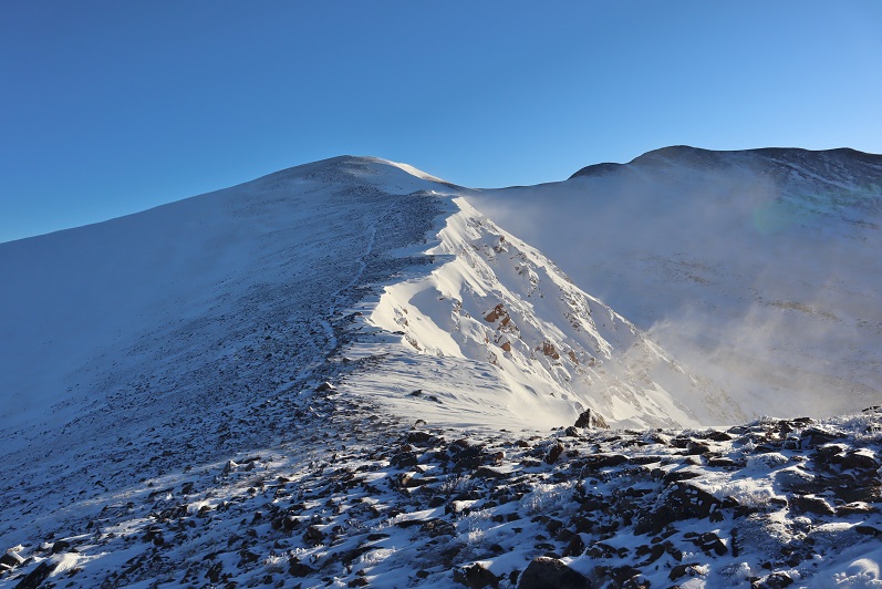
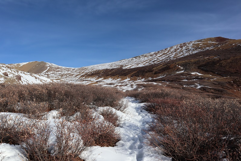
The trail from the saddle up was easy to see. Snowshoes weren’t needed here, but due to the wind and cold temperatures I didn’t want to take off my gloves to take off my snowshoes, so I left them on.

12

Did I mention the wind? At about this time it was getting really annoying.  I kept thinking every time I went around a corner or over a hill that the wind would die down, but it didn’t seem to matter which side of the mountain I was on: I was getting pounded by the wind (and ice)

13

This was all very frustrating because this was a relatively easy hike, yet I was starting to get a headache from the constant wind

14

15

16

17

After winding around the mountain for what seemed like a long while I could see the last bit to the summit. Here the sastrugi was beautiful and in most places solid, making it easy to cross

18

19

There were several large cairns indicating the path to the summit

20

The summit was large and relatively flat, with cairns, signs, and windbreaks full of snow

21

22

I’m not sure what time I summited, but it still felt like early morning.

23

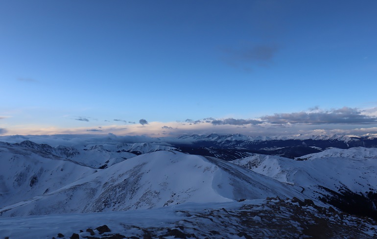
It was still early in the day when I summited and I wasn’t tired at all, yet I was starting to feel nauseous. This wind was really getting to me.  My balaclava had frozen to my face and I was worried I was getting frostnip on my nose (I was).  I walked around the summit and looked at some of the other peaks I’d wanted to hike today

24

This should have been such an easy hike (and it was) but I decided here not to continue on. Yes, I’d wanted to summit a few other peaks today, but the forecast called for increased winds in the afternoon and I’d already had enough.  This wind was making the morning miserable. Looking ahead at an added 6 miles of wind sounded like torture, and that’s not why I hike. I told myself I’d come back and do this hike again when the conditions were better (less wind). So I turned and headed back towards Colorado Mines Peak

25

As the wind increased and I became ever more nauseous I celebrated my decision to head back and enjoyed the views

26

Instead of going back up and over Colorado Mines Peak I decided to follow the trail that went around the mountain. Until the trail was obscured by snow and I couldn’t follow it anymore.  Then I just made my way around the mountain until I found the road again.

27

The snow here was thicker and I was glad I’d kept on my snowshoes

28

29

Here’s a look back at my tracks to the road

30

Once on the road again I noticed all of the tracks I’d made this morning were gone

31

Here the wind let up and I took a minute to take some ibuprofen. Almost immediately I began to feel better.  I could see the parking lot was full of vehicles and if I had skis I’d just slide my way down there.  The snow was all powder and the skiers seemed to be enjoying themselves immensely.

32

About halfway down the mountain I came across plenty of new tracks and two trenches on either side of the road. Needless to say, hiking down with a trench is a lot easier than trenching on the way up.  I was thankful for everyone who came after me and made a solid trench.

33

34

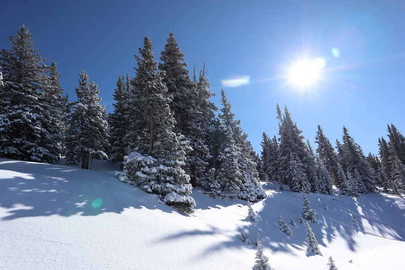
I was also thankful to be out of the wind. The trees were lined with fresh snow and made for a beautiful trek out.

35

I made it back to my truck around 11am and was surprised to find people tailgating in the parking lot. I guess that’s a skiing thing?  The parking lot was buzzing with activity, too many vehicles, people and pets, and I had to be careful not to run anyone over in the parking lot on my way out.  I looked at my nose in the mirror.  Yep, I’d definitely gotten a little bit of frostnip.  I wish I could find a way to keep my balaclava from freezing?  Hmmmm.  Maybe I just need to try a different brand.

I started this hike around 6am and finished just before 11am, making this a 7.75 mile hike with 2334’ in elevation gain in 5 hours. I was a little disappointed I hadn’t done more today, but felt trenching in powder had given me a good workout just the same.  Any day above treeline is a win.  I’ll be back to complete this hike soon.

36

37

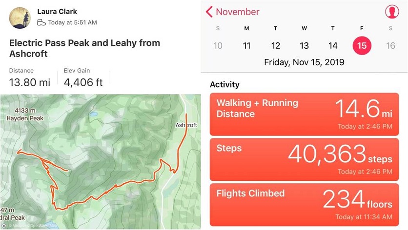
Electric Pass Peak 13,632 & Leahy Peak 13,322

1

RT Length: 14 miles

Elevation Gain: 4406’

My flight got in late. I’d been in California all week at a tech conference and decided to leave Thursday evening to allow me to hike on Friday morning.  This seemed like a great idea but the flight was delayed and I didn’t end up making it to Denver until 1:30am.  I jumped in my truck and drove to the Cathedral Lake trailhead, a little upset I was behind schedule but not too worried since it was supposed to be a nice day and I wasn’t on any time schedule.

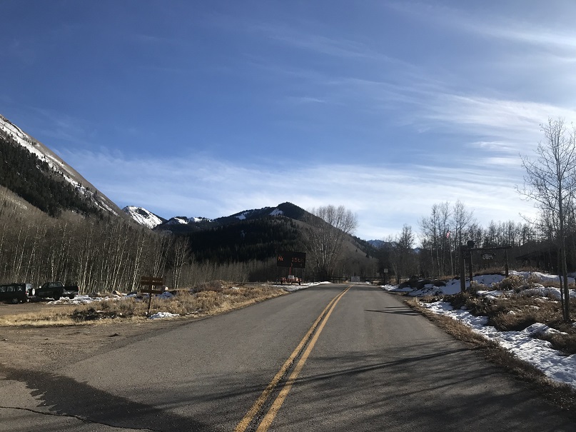
I’d heard they were closing the road to Maroon Bells today and figured since they were in the same area they’d be closing the road to the Cathedral Lake trailhead soon as well. When I got to Ashcroft I saw the gate was still open but there was a blinking sign indicating the road was going to close on November 15 (today).  I was excited  it was still open until I noticed it said they were closing it at 7am. Drat!  I’d arrived before the gate closure but only by about an hour and a half.  Oh well, this only added 3 miles total to my hike.  Also, props to them for putting up signs warning of the upcoming closure.

2

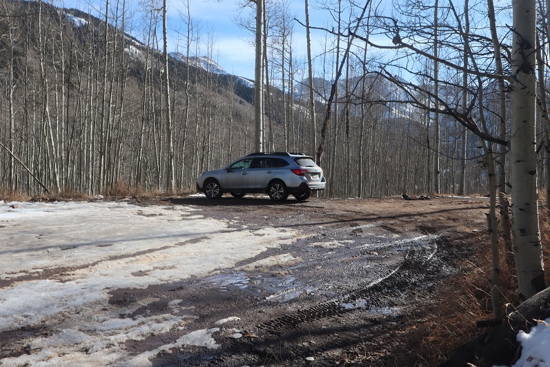
I parked my truck in the parking lot at Ashcroft, gathered my gear, and was on the trail at 5:45am.

3

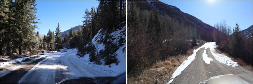
I followed the road for a mile and then turned right (west) onto a dirt road.

4

Here the road became icy. I followed it for another three quarters of a mile to the trailhead

5

I saw several ropes put across roads that weren’t open, which I thought was a great idea! I was here last May when there were several feet of snow on the ground and following the correct road had been a challenge when everything was white.  These ropes would have come in handy back then

6

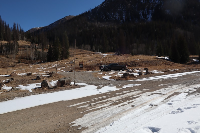
The dirt road led me to the Cathedral Lake trailhead.

7

The trail up to the lake is a well defined, class 1 trail. The trail had seen snow recently but was well packed down. In the morning I didn’t need microspikes, but they were very helpful in the afternoon.

8

The avalanche area has been well cleared

9

Just after ascending this hill (after about 4 miles from the start of the trail) the trail splits in two, one going to Cathedral Lake, the other to Electric Pass.

10

I went right towards Electric Pass

11

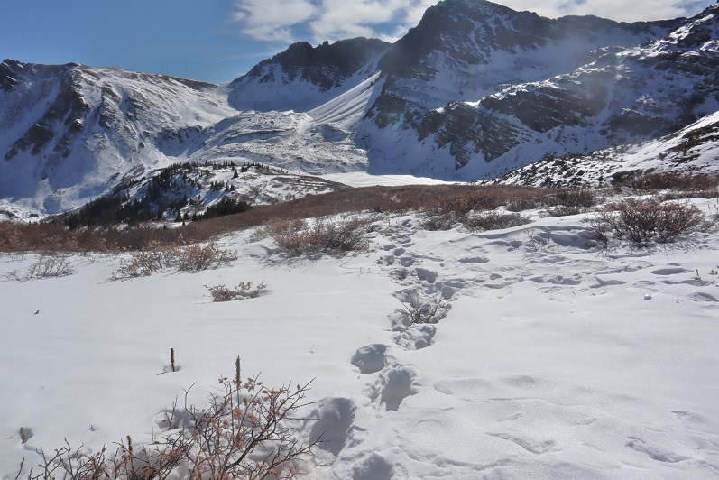
Here the snow picked up quite a bit and the trail became less traveled.

12

Most of the snow seemed to be directly on the trail. Unfortunately, it looked like one other person had been here since the snow fell and apparently they hadn’t brought snowshoes because they’d postholed with every step.  It made my trek that much more difficult.

13

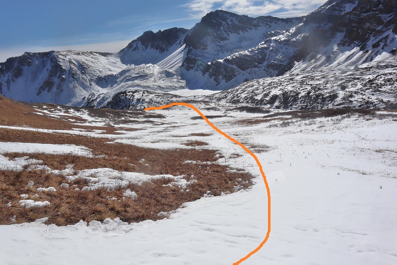
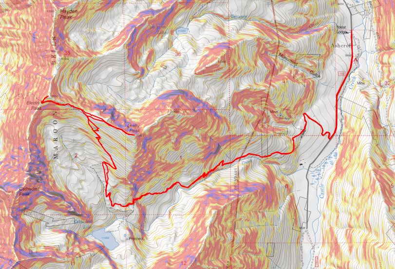
The trail led me to a basin and from here snow obscured the rest of the route, making this a class 2 hike. Also, here the tracks stopped.  It seemed the previous hiker had given up their hike at the basin (probably because they lacked snowshoes).  With no visible trail I’d originally planned to hike to the end of the basin and gain the ridge, but as I was aiming for the ridge I came across the trail again and decided to follow it instead.  Here’s the route I took

14

Some parts of the trail were completely dry

15

But most of the trail was obscured by snow. I’d lose it and then find it again.  I decided this was a good time to put on my microspikes.

16

I just kept aiming for the saddle

17

Once there I saw a cairn and followed the ridge west

18

Instead of following the ridge to the summit I followed the trail, which went around to the left

19

After rounding the corner (still on the trail) I could see the route to Electric Pass

20

21

This area was full of loose talus. It looked like some people had attempted to summit this way in the past (there were cairns pointing upwards) but this seemed foolishly difficult and unnecessary.

22

The last bit was steep and the snow here was soft. I carefully made solid tracks in the snow.

23

There was a cornice to navigate before gaining the ridge. Once on the ridge I turned right (northeast) and followed the trail to the summit

24

The summit had a lot of red rocks and a large cairn

25

I summited “Electric Pass Peak” at 10:15am

26

“Electric Pass Peak”

The views were absolutely amazing!

27

28

29

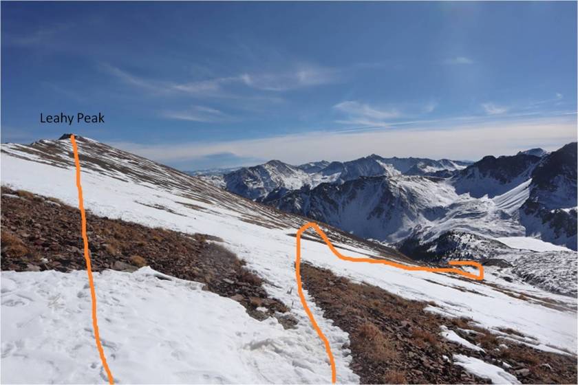
From here I had a good view of the route to Leahy Peak

30

I turned and went back the same way I’d summited

31

It hadn’t been very long since I was there, but the section of snow just under the ridge had now become slick. This was the crux of the route for the day, going back over the cornice and snow that took me back to the talus

32

33

Here’s the route I took from “Electric Pass Peak” to Leahy, doing my best to stick to the ridge and avoid the snow

34

Side note: look at the difference in snow levels on opposite sides of the mountain!

35

Here’s the last bit up to Leahy Peak. This really was an easy ridge walk, and if you’re even considering summiting Leahy I’d recommend doing so.

36

I summited Leahy Peak at 11:15am

37

Leahy Peak

Time to head back. I followed the ridge back as best I could until I came across the trail again

38

Here’s my route from Leahy Peak back down to the basin

39

40

On my way back I put on my snowshoes and tried to stomp down the postholes along the trail

41

It was really neat seeing all the animal tracks on the way down that hadn’t been there on my way up

42

I was almost back at the trailhead when I came across three hikers. They were surprised to see me because they hadn’t seen any other vehicles at the trailhead.  They also didn’t have proper gear to be out hiking, especially on all this ice.  They seemed upset with me when they saw I was wearing microspikes because they hadn’t brought any.

43

I was surprised they’d parked at the trailhead.
Me: “Weren’t they supposed to close the gate this morning?”

Them: “Yes, they did.  We just used our 4WD vehicle to drive around it”

I didn’t agree with their tactics and gave them a blank look as I let my eyes go wide. Don’t be like them.

I made it back to the trailhead and indeed they’d parked their car in the lot, going around the closed gate to get there.

44

I followed the dirt road back to the paved road

45

And followed the paved road back to Ashcroft (and the closed gate)

46

I made it back to Ashcroft at 2:15pm, making this a 14 mile hike with 4406’ of elevation gain in 8 hours, 30 minutes

47

48

I was a bit tired, seeing as how I hadn’t slept in 2 days, but considered today’s outing a win!

13,795 (attempt)

1

RT Length: 5 miles

Elevation Gain: 1948’

Note:  My successful summit of this peak can be found here.

I never should have attempted this hike today, but the weather was clear and my beta told me the mountains in this area were snow free. There are so many 13ers in the San Juans I wanted to knock another one out before the snow sets in again.  As I was leaving the house around midnight my daughter asked me if I’d take her to the school musical that night at 7pm.  I did some mental math and figured I’d have plenty of time to climb this 7.5 mile peak and be back in time to take her to see the musical.

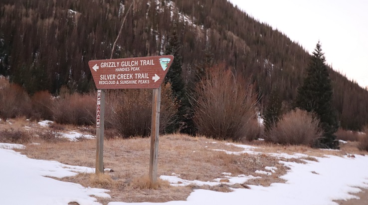
I drove in the dark to the Grizzly Gulch trailhead, a little surprised to see so much ice on the 2WD dirt road in

2

There was one other vehicle in the lot when I arrived. I’m guessing they were headed to Redcloud/Sunshine today.  Last time I was here I’d had a porcupine visit me in the middle of the night, making noise in the gravel below my truck as he tried to get up inside.

3

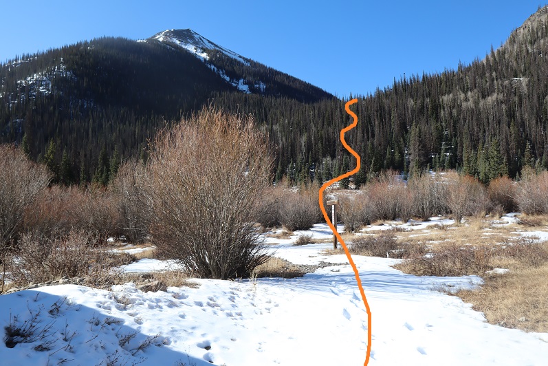
It was getting light as I put on my gear. From the parking lot it didn’t look like I’d need microspikes or snowshoes, but I decided to bring them anyway.  I was on the trail at 6:30am.  The trail starts at the west end of the parking lot and then crosses a bridge and heads southwest on a well defined trail.

4

5

6

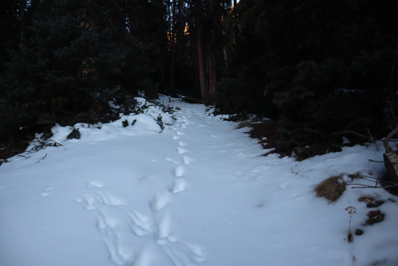
Well, it would have been a well defined trail if there hadn’t been so much snow! Not enough in the beginning to put on spikes/snowshoes, but way more than I’d anticipated.

7

It was immediately obvious no one had been on this trail since the last snow, which had to have been over a week ago. What was curious was how soft and sugary the snow was after sitting for so long.  There were also tons of animal tracks visible in the snow, mostly fox and moose, and they’d been here recently by the signs of urine and scat on top of the snow.

8

Last time I was here I’d seen a moose, so even though I never ended up seeing one I was extra vigilant today. I went in and out of the trees several times and noticed much less snow in areas without trees.  This gave me hope for the rest of the trail above treeline.   Of course, most of the snow in these areas was only on the trail itself.

9

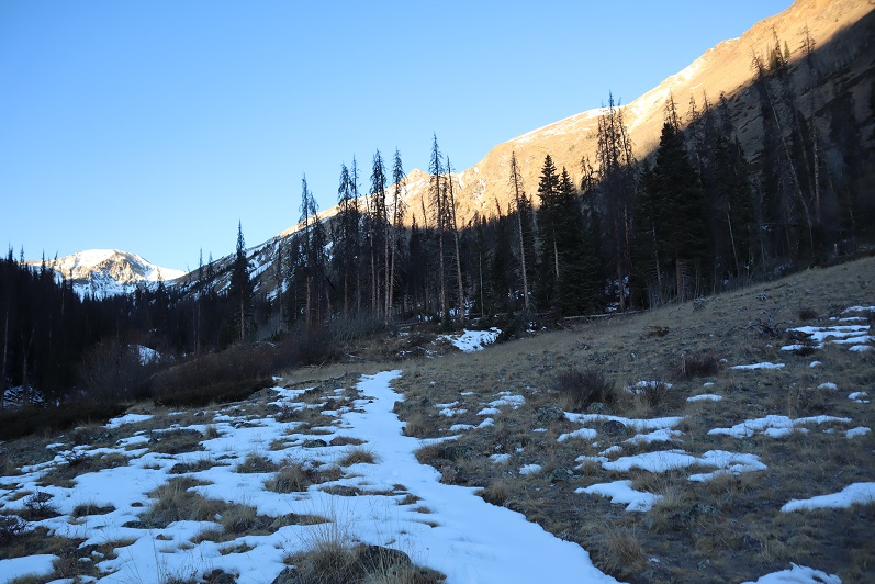
When I made it to treeline I was disappointed to find quite a bit of snow. It wasn’t the snow that bothered me, it was the type of snow:  all sugary with very few areas that were consolidated.  The drifts were the worst! 4+ feet of sugary snow that didn’t respond to snowshoes made for difficult traversing.   I put on my microspikes.  Here’s the path I took to the middle of the basin

10

There was a stream that needed crossing. It was partially covered in snow/ice and I couldn’t tell how wide or deep it was.  It took me several minutes to find a good area to cross where I wasn’t worried about falling in.

11

After crossing the creek I located a faint trail on the side of the mountain and worked my way towards it. The trail was only visible because it was covered in snow.  The walk to the trail took a long time because I was postholing with every step.

12

Climbing up the hill should have been easy, but the snow was still sugary and the talus below unstable. Rocks rolled with every step I took, so I took them slowly

13

There were several large areas of snow directly on the trail that were not passable. I tried making a bridge in the snow but it wasn’t consolidated enough to hold my weight.  Stomping it down did not create a trail so I had to descend on the talus to find a stable route.

14

Oh, and I met a few ptarmigans

15

Here’s another view of the ascent

16

All of this careful footwork meant I was going slowly. I was really excited when I made it to the top of the headwall, as I knew I’d have a view of the rest of the route to the ridge and I was hoping to find it snow free.

17

It wasn’t.  Here’s the route up to the ridge

18

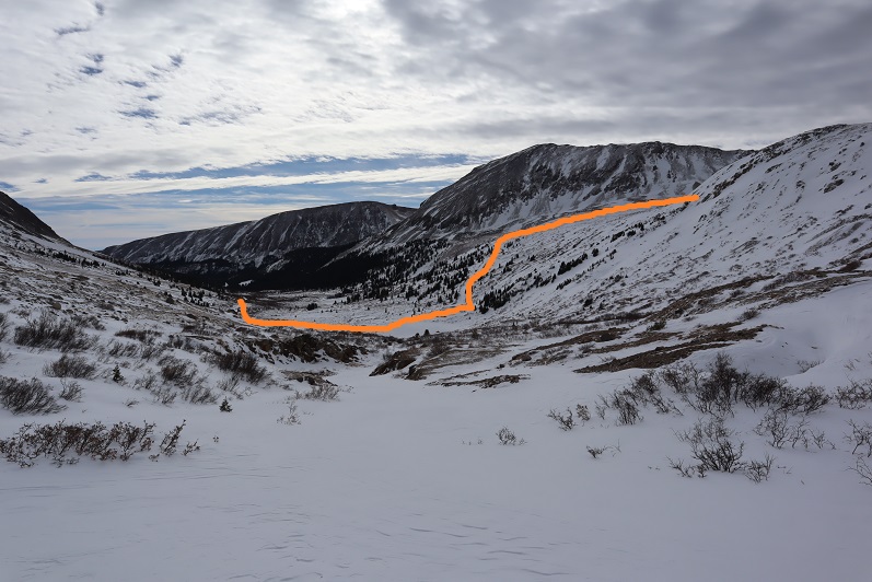
I continued for about 20 yards, trudging through sugary snow that went up to my thighs and mentally did the math. This hike had taken me about twice as long as it should have to this point, mainly due to the condition of the snow.  I had 1.5 hours left before my turnaround time and looking ahead of me the snow in the gully areas looked similar to the snow I’d already had to avoid to get this far.  Unfortunately, there was no way to avoid the snow ahead of me.  There was a small lake out there I couldn’t see and I was worried I’d break through the snow and ice and fall into the lake.  I grudgingly made the decision to turn around and head back home.  That would give me time to make dinner and shower before the musical tonight.  I was super bummed because it was a 6 hour drive out here and the day felt wasted, but I also knew I’d had bad beta and couldn’t have anticipated these conditions.  The snow needs to consolidate before it’s safe to hike here.  Here’s the path I took back:

19

Postholing the entire way…

20

In this picture you can see moose tracks and the trail I needed to make my way back to

21

I followed the trail where possible

22

Aiming for the creek and the trail out

23

Here’s looking back at my tracks

24

Getting through the willows is the hardest part, especially in sugary snow

25

26

Isn’t it fun when the only snow is directly on the trail?

27

The creek was almost frozen

28

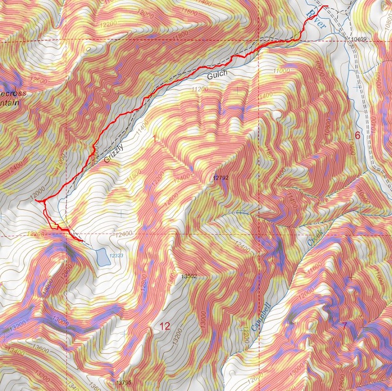
I made it back to the trailhead at 10:30am, surprised to see another vehicle in the lot. This hike ended up being a little over 5 miles with 1948’ of elevation gain, done in 4 hours.  I’d been hiking at close to 1 mile per hour this morning, which is considerably slow considering I average 2+mph normally.  The good news is I made it back home in plenty of time for the musical.  I’ll be back either in spring or summer, when the snow’s either consolidated or gone.   Here’s a look at my route:

29

Mt Arkansas – 13,804

1

RT Length: 6 miles

Elevation Gain: 2759’

I got a late start on this one but I didn’t mind much. I made it to the Freemont Pass South trailhead just before 6am, surprised to see two other vehicles already parked there.  I’m not sure we made the best use of our parking spaces

2

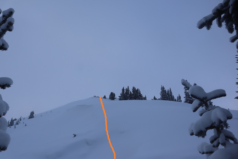
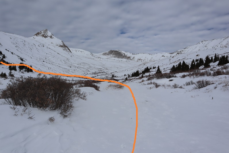
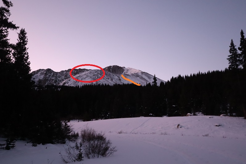
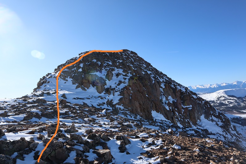
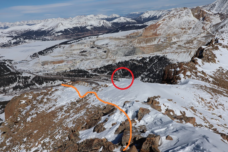
When I looked up at the mountain I could see headlamps. Wow!  It’s not often I’m not the first person out.   That’s what happens when you sleep in.  They were taking a different route to the ridge than I planned on taking, and I wondered if they knew something I didn’t?  You can’t really see them, but they’re circled here.  The orange line is how I gained the ridge

3

I put on my microspikes under my snowshoes and headed out. As the sun started to rise I followed the road as it wound southwest, switchbacking a couple of times

4

There were plenty of tracks on the road until I came to a straightaway. All tracks went left (east) but my instructions said to go right, so I got to be the first one on the new snow!

5

After about a quarter mile I turned left and entered the trees

6

There was no trail here but I could see the mountain. I trenched my way south, sometimes coming across ski tracks or old game trails

7

8

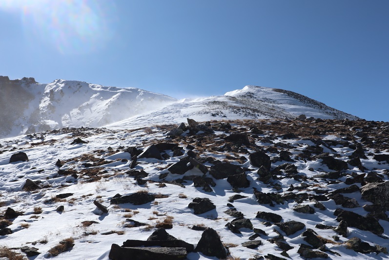
Eventually I made it to treeline and had no difficulty figuring out the route before me. There were some large snow drifts towards the end of the basin I wanted to avoid so I decided to gain the ridge early.  The snow here was soft and sugary and I was once again glad I’d worn snowshoes.

9

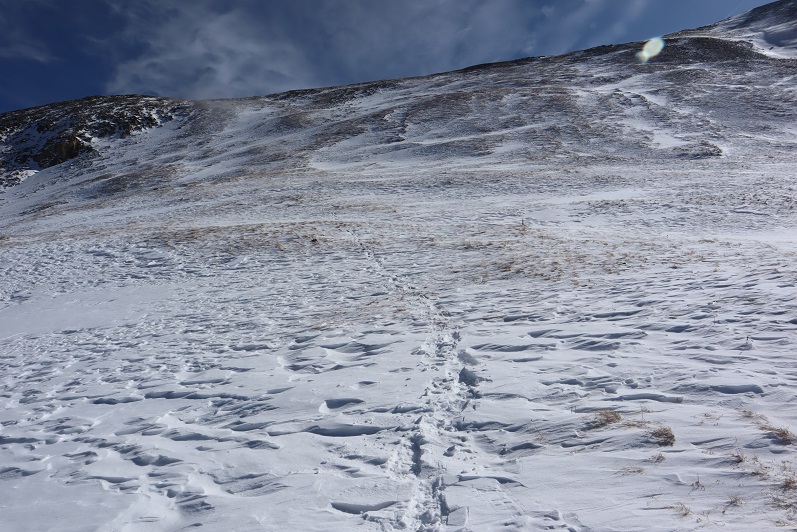
Here’s the path I took up the ridge

10

It’s steeper than it looks. Once on top of the ridge I ran into the tracks of the hikers I’d seen that morning. None of the tracks headed back down so they must still be on the mountain. I turned southwest and started up the ridge

11

12

The snow here wasn’t consistent.  In some places there wasn’t any snow, and in others it was consolidated.  I saw just enough postholing tracks from the hikers above me to convince me to keep my snowshoes on.

13

I followed the ridge to a small saddle and ascended the hill.

14

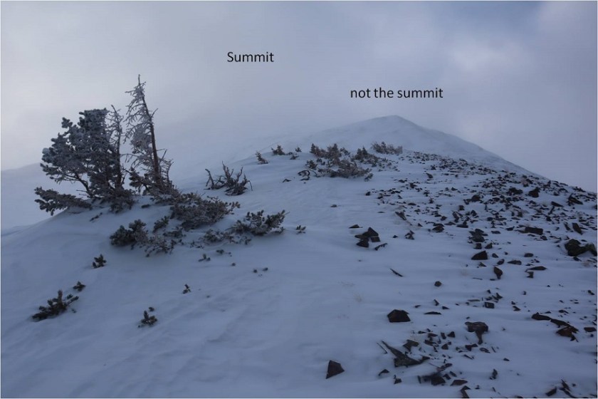
I completely thought I was nearing the end of this climb and kept looking for the other hikers. They should have been way ahead of me.  Why hadn’t I seen them yet?  I kept feeling like I was getting closer and closer to the end, which meant they should have been on their way back by now.  At the top of that hill there was a pole. This pole is important, as it signifies the correct route to take back down.  It’s good to make a mental note of where this is. I went right here

15

This is where the fun began. Once again, I totally assumed this was the summit (it wasn’t). I went up and over

16

And saw this

17

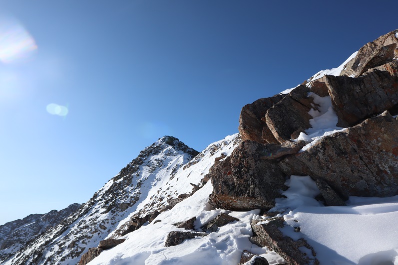
No worries… that must be the summit (it wasn’t). It was an easy class 2 hike though, until I came to a short class 4 section here, which was interesting in snowshoes

18

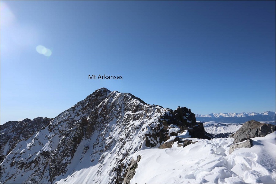
At the top of the class 4 section my heart sank: I still had a long ways to the actual summit, and it looked like all class 3+ from here.  I couldn’t see the other hikers anywhere and I was getting seriously worried because all tracks still pointed up.

19

I looked for the class 2 section as an alternate, but there was so much snow it wasn’t a viable option. If I was going to continue I was going to have to climb class 3 in the snow.  That wasn’t going to be possible with my snowshoes on.  I seriously considered turning back.  This would be an easy hike with no snow, one I could do quickly next summer.   I debated my chances of success in the current conditions.

I decided since it was a nice day I’d take it one step at a time and turn back if necessary.   The snowshoes weren’t necessary so I sat down to take them off and stash them while I summited.  Just as I was kicking them off (I didn’t want to take my gloves off so there was a bit of a struggle)  I saw the group of hikers coming towards me.  No, they hadn’t been slow, it had just been a much longer ridge than I’d anticipated and they’d been behind rocks when I’d made it within final view of the actual summit.  I waited for them to pass me.  I had a hard time making conversation (my mouth was frozen and it was difficult to make words) but we had a quick chat.  They said the headwall on the way they’d come up hadn’t been fun.  I wished them luck and we were on our separate ways.  I was so glad I’d decided to put on my spikes under my snowshoes!  It was worth it not to need to take off my gloves.  The wind wasn’t too terrible, but I’d need all the feeling in my fingers I could get for some class 3 scrambling.

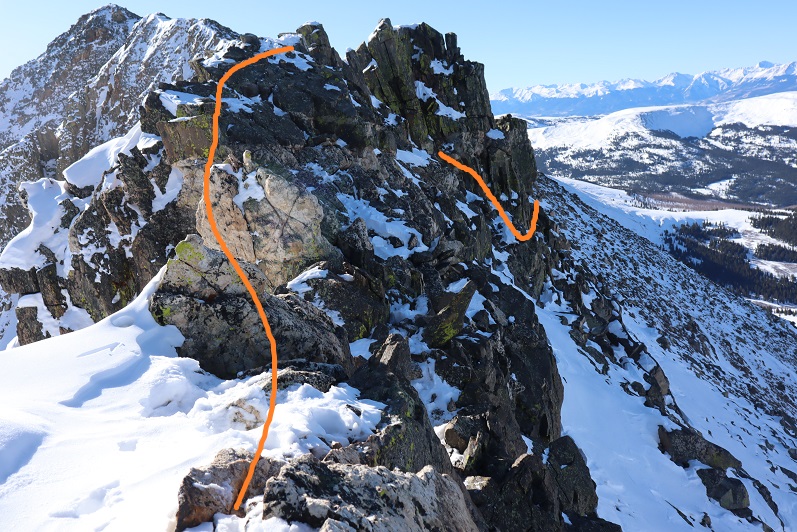
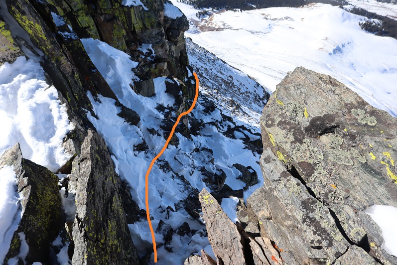
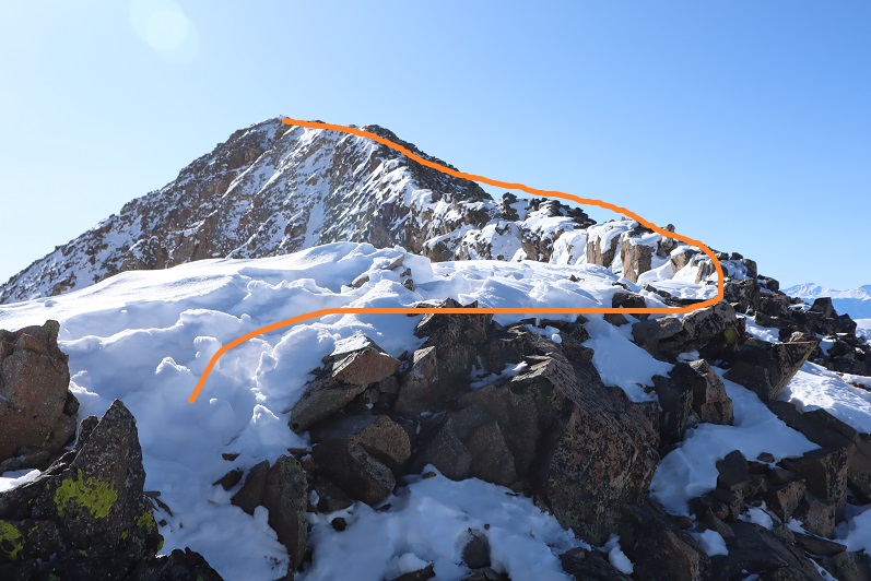
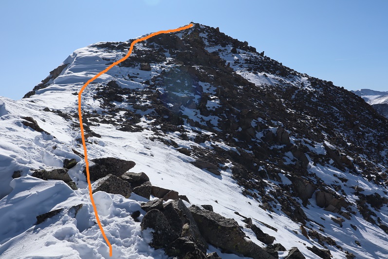
This last route on the ridge mainly sticks to the ridge, but it does dip down a few times to the right. Here’s the route I took

20

21

22

It looked like the group ahead of me had gone a little higher in places than I did but I felt their route looked class 4 and felt more comfortable staying a bit lower. I was never more than 30 or so feet below the ridge and most of the time I was right on top.  The last push to the summit was on class 2 rocks

23

24

There was a big cairn indicating the summit. I was thrilled I’d decided not to turn back!  That had been easier than I’d anticipated.

25

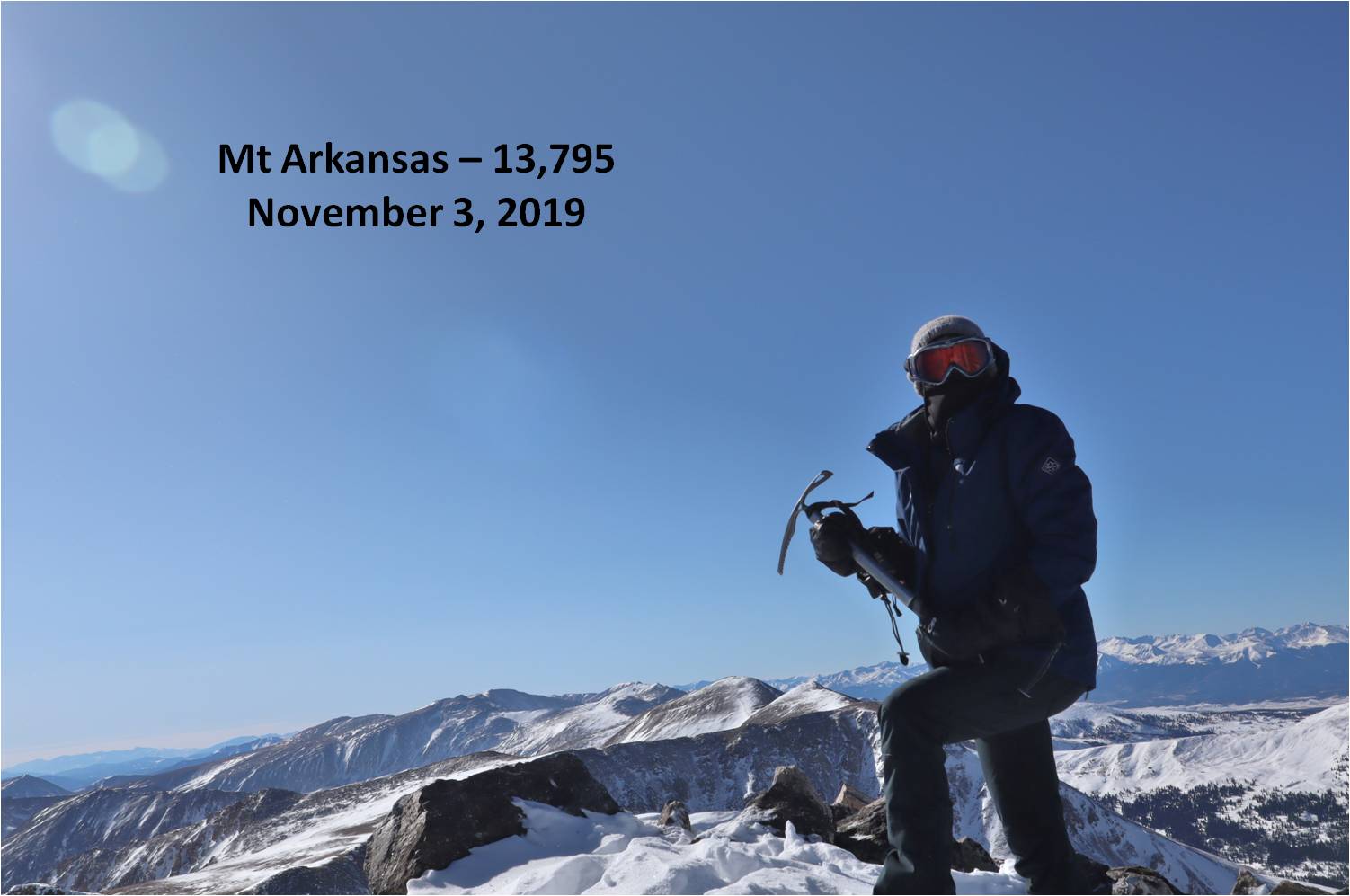
Here’s my summit photo

26

It is much harder to work a camera with large gloves on than you’d think. If you have a few minutes to spare you can watch one of my attempts (I couldn’t figure out why it wasn’t working.  Turns out it was on video mode).  This sort of stuff happens frequently and wastes time on the summit.  I tend to give up quickly and go with the first shot I take, especially when it’s cold and time has more meaning.

Summit Post

27

Here’s a look back down the ridge

28

The trail down the ridge was pretty similar to the way up. Here’s a look at the tricky sections

29

30

31

32

Remember how I said that pole was important? Here’s why:  You don’t follow this ridge all the way down.  You’ll eventually turn left and follow a different ridge

33

The wind was starting to pick up, and some of the trenches forming were body-sized because of the sugary snow

34

The pole is circled here in red. Follow the ridge to the left, don’t go straight or it will take you to point 12923.

35

From here I followed the ridge to just before the headwall

36

Looking back things started to get windy

37

I turned left and headed down the side of the mountain. Down was much easier than up.

38

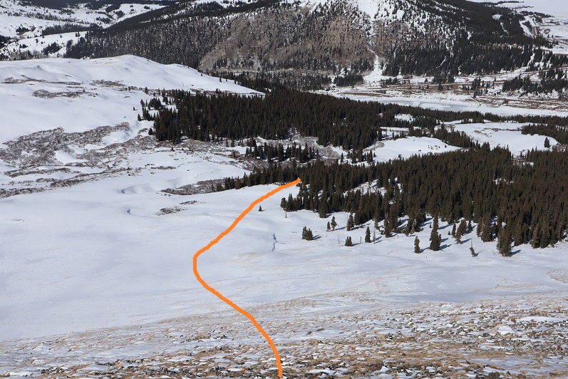
Here’s my exit route back into the trees

39

My tracks were mostly gone in a lot of the basin but I could see where they picked up near treeline

40

Once at treeline I just followed my tracks back to my truck, doing my best to form a nice trench

41

I made it back to my truck at 12:30pm, making this a 6 mile hike with 2759’ of elevation gain in 6 and a half hours. The hike had felt longer distance wise than it was, and I it felt shorter time wise.  I guess I kind of went into a zone when crossing the ridge and lost track of time.

42

43