RT Length: 9 miles
Elevation Gain: 4625’
Any time your hike begins in the Piñon Pines and Junipers you know it’s going to be a long day. I arrived at the South Zapata Creek Trailhead after mistakenly being directed to a gated community a few miles away (Google Maps was taking me to South Zapata Creek, not South Zapata Creek Trailhead: I’d suggest putting in Zapata Falls as it will direct you to the campground and trailhead). No worries though, I was free all day and this only put me back about 15 minutes from schedule. The 4WD road to the correct trailhead was a little rough in the beginning with a lot of softball-bowling ball sized rocks, but after the first mile or so it smoothed out. I parked my truck just before the campground entrance and was on the trail at 6:30am.

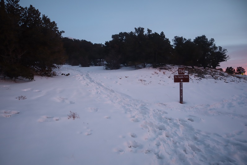
I followed the trail that led to Zapata Falls for .85 miles

Just past a defunct trail register

And at this cairn left the trenched trail and turned right and headed up the hill.

From here on out I was ‘off trail’. At this point I should have put my snowshoes on, but I tend to be stubborn about such things and kept hiking in just my microspikes. My next objective was to gain the ridge to the south. This ridge was steep and I kept sliding backwards in the snow. Yep, snowshoes would have been a good idea. Here the snow was soft but I was only postholing about a foot at a time. To make things easier I did my best to follow recent game tracks. It looked like there were a lot of deer in the area.

From the top of this ridge I followed the drainage up to a small plateau. Once again, there were tons of deer tracks here and it looked like they’d bedded down in the area last night. I even saw a buck bounding away as I arrived.

I also got my first view of Twin Peaks A

The view was short lived however, as I dipped back into the trees again.

In the trees I came upon an unexpected cabin. It looked old but well kept up. I would have taken a closer look but the snow was really deep here. I broke down and put on my snowshoes.


From here on out the snow just kept getting thicker and stayed sugary. I kept heading southeast, this time through some thick aspen groves. Shout out to the deer/elk that helped me by breaking about 250 vertical feet of trail: I followed their tracks through the trees until they disappeared over the ridge.

This route mainly follows the ridge, but it takes forever to get to treeline. Well, it took me forever because I was trenching the entire time. This was the most challenging trench I’ve ever put together: the snow was deep, unconsolidated, and never ending. Several times the snow was so deep I couldn’t go forward and I had to get creative and zig-zag my route to make it possible to continue. This type of trenching is tiring!


I’d make it to what I thought would be the treeline, only to find more trees ahead of me. Here’s a look at the route from one such area

More trenching through the trees

And I came to an area so thick with snow it was untrenchable. I was exhausted and seriously considered turning back: where was treeline anyway?!?! Last week I’d had to turn back on Rinker Peak due to unconsolidated snow, and I really didn’t want to repeat the same scenario twice. I decided instead of continuing along the ridge to descend a little to the south to see if the terrain was any easier, and it was! I came across a rocky area and easily traversed a little below the ridge and then regained the ridge (to more snow)

I (finally!) exited treeline and had just a little bit more trenching to do before taking off my snowshoes and tackling the rest of the route in just microspikes. Up until this point I wasn’t sure I was going to complete this hike: all that trenching had worn me out and I thought I’d never make it to treeline. Several times I’d thought about turning back, but I’d put in so much work I didn’t want to give up. This clear view of the peak renewed my spirits and I was ready to go.

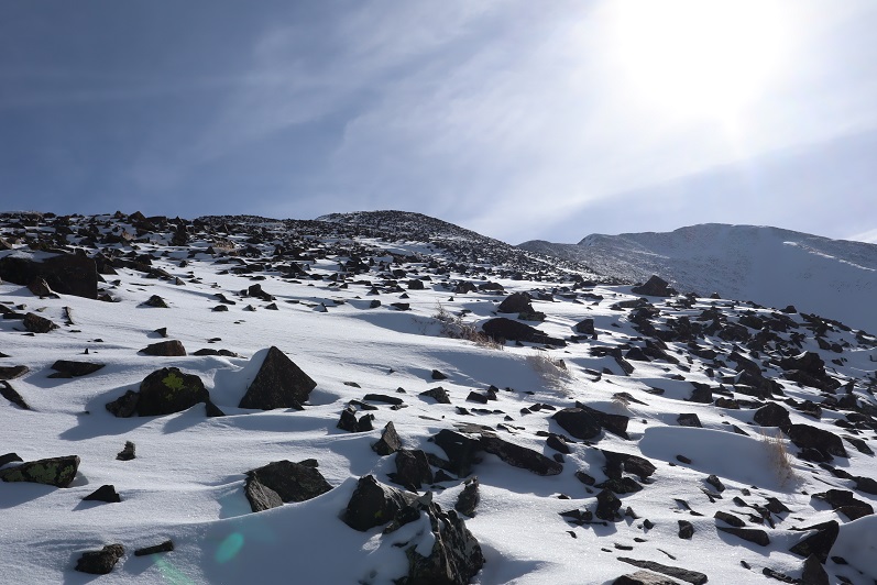
I could see the summit ahead of me and it was a nice day: warm with no wind. I thought taking off my snowshoes would be a good idea and could also save some valuable time. In the beginning, this was a good idea. I was able to quickly rock-hop up the ridge

After gaining the first bump however, things changed. The snow was no more consolidated here than it had been before treeline. In fact, the snow was 4-6 inches deep: a thin layer over rocky terrain. The snow never held my weight and I frequently postholed in areas where I could easily have twisted an ankle. I was cursing myself for taking off my snowshoes, and would have put them back on except the wind had now kicked up and I was afraid to take off my gloves because of the exposure. I was just going to have to be careful and rock-hop whenever possible.

I followed the ridge as closely as possible, but those cornices were weak. I kept postholing in the shallow snow and my feet were becoming frozen. I wasn’t giving up though: I could see the summit!

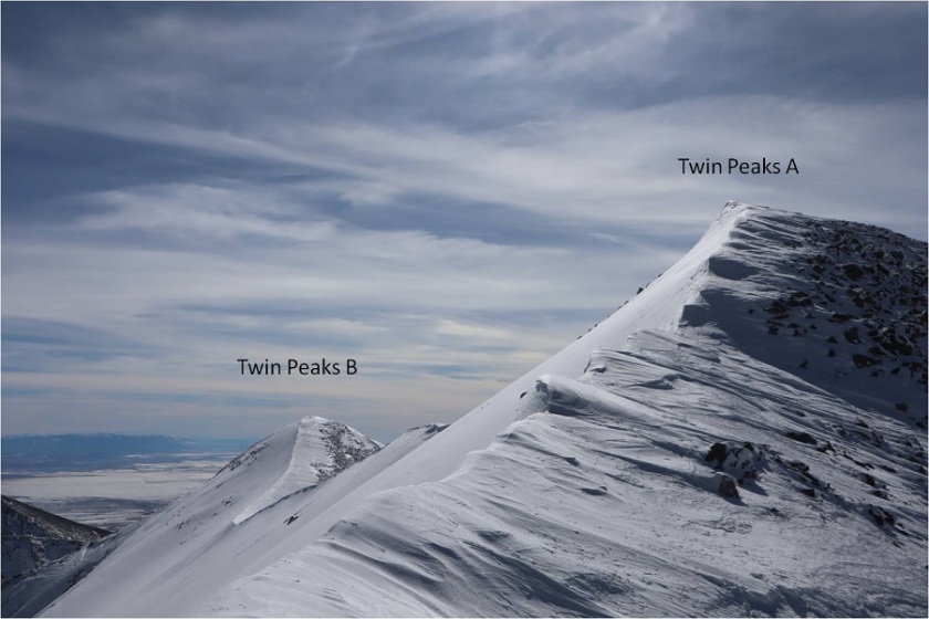
Here’s a look at Twin Peaks B (unranked) and Twin Peaks A. There was a lot more snow at the summit than I’d been able to see from below, those cornices are bigger than they look, and once again, hollow. I followed the ridge to the summit.

I took a few steps up the cornice to try and get as high as possible and heard a hollow sound below my foot. I quickly retreated: In no way was I going to climb to the top of the cornice.

I found the summit wind break, set up my camera on top of my backpack, got a (terrible) picture, and decided to book it back down. I wasn’t going to play with that cornice.

I had no desire to climb Twin Peaks B today as well: The cornices were hollow and I would need to go over one just to start, that wind was becoming insane, and I could no longer feel my feet.

Time to head back down the ridge


There were some great views along the way of Lindsey, Ellingwood Point, Blanca, and Little Bear


And also the Sand Dunes

Here’s the rest of the route down the ridge and back into treeline

And a look from treeline up the ridge

I stopped to put back on my snowshoes at treeline and headed back to the trees, carefully retracing my steps and making my tracks into a solid trench. This is more tiring than it sounds.

I followed the ridge and in a small clearing between hills saw what looked like a reverse shadow far ahead of me. Anyone know what this is?

I made my way back to the cabin

And decided to keep my snowshoes on for the rest of the trek back to the trailhead. Here’s the way down the ravine

And down the ridge

Back to the Zapata trail

It had been a long day, and it was starting to get dark. I’d originally wanted to visit Zapata Falls while I was here, but looking at the time I wouldn’t make it there until after dark. I’ll just have to come back when I’m here later this season. The trail was easy to follow from here

Back to the trailhead.

I watched an absolutely stunning sunset as I broke down my gear and got ready to head home.

I made it back to my truck at 5:30pm, making this a 9 mile hike with 4625’ of elevation gain in 11 hours. This was by far the most tiring day I’ve had trenching ever, but totally worth it!
