Highpointing – GA-KY-SC-AL-FL

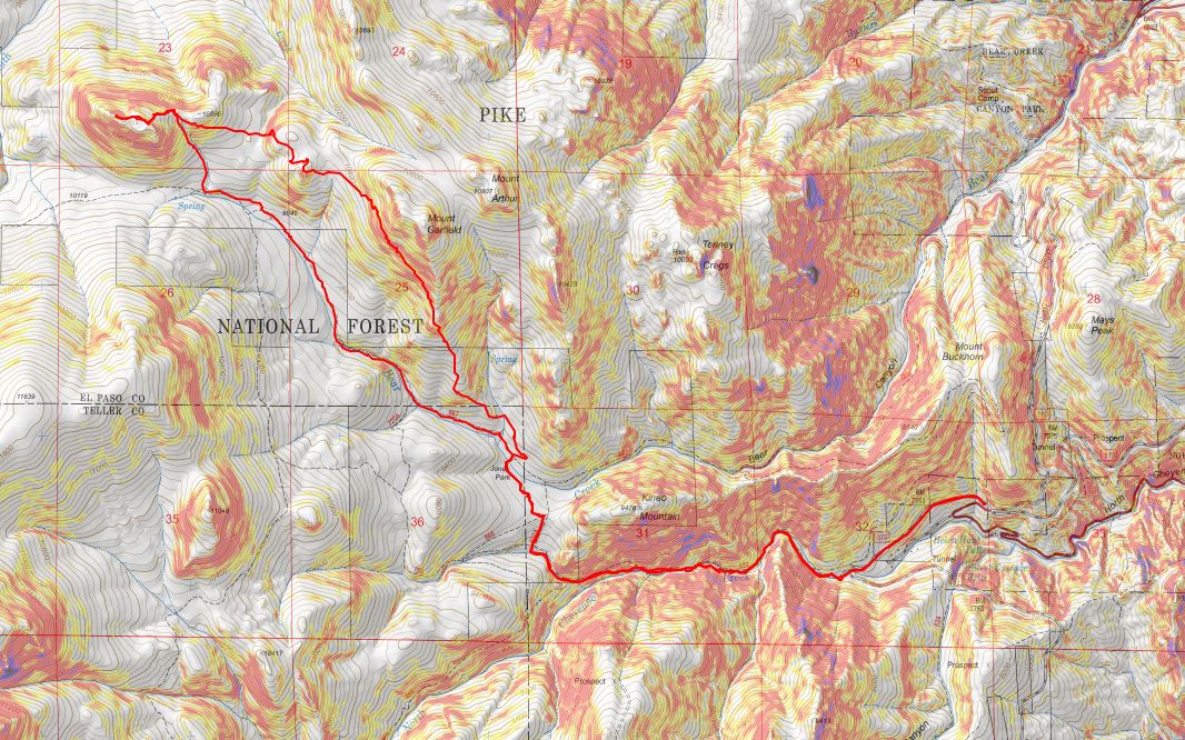
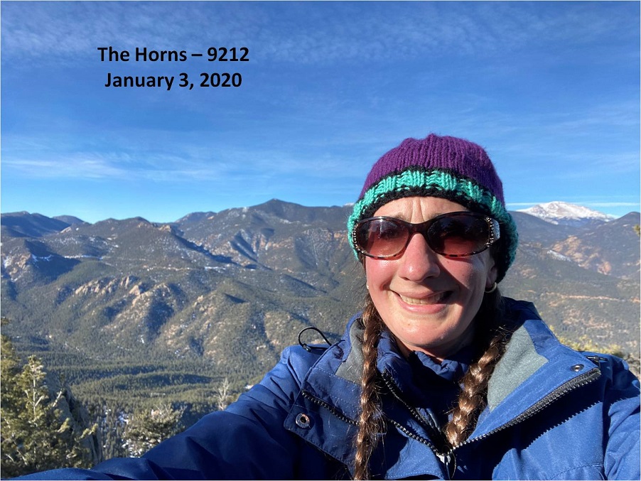
We’ve had this trip for months, and in October had to re-scheduled it due to COVID concerns.  I was a bit worried we were attempting some of these peaks too late in the year, and, unfortunately, ended up being right about that.  Many roads we encountered were closed, even though their status showed as ‘open’.  No matter though, we still had a great, whirlwind weekend where we were able to get in 5 Highpoints.  Originally, we’d planned on 8 (and called them the ‘bowtie 8’ because our drive would go in a bowtie pattern).  The weather had other plans. 

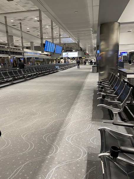
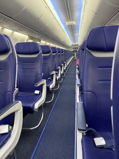
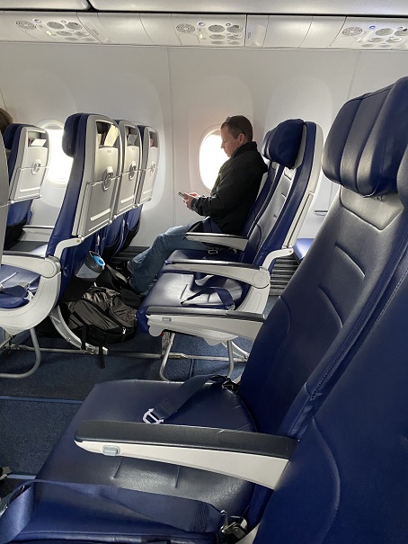
We flew into ATL, arriving around 11am.  The flight had been uneventful, the airport was crowded, and it seemed to take forever to make it to ground transportation (several trains were involved).  When we arrived there was an hour wait at the Enterprise counter to get our vehicle (they wouldn’t let me use the kiosk because I was paying with a debit card instead of a credit card).  On a positive note, we received an upgrade on our vehicle, and we were able to choose any vehicle in the row.  We ended up picking a Nissan SUV so we could sleep in the back, which ended up being much more comfortable than our last trip, where we slept in the front seats.

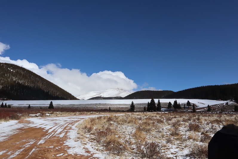
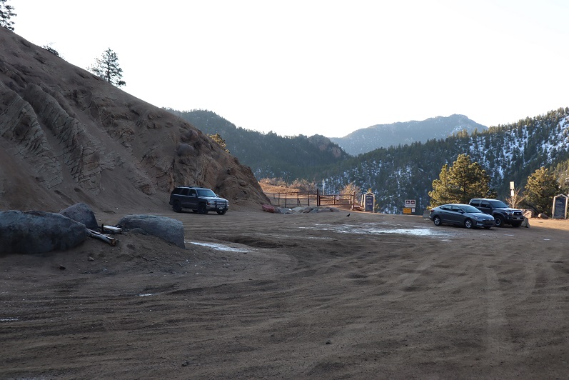
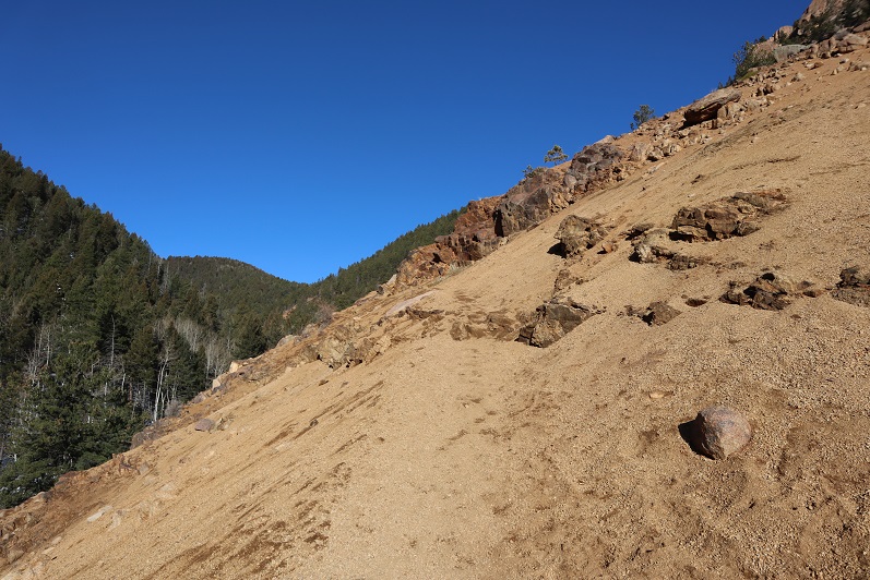
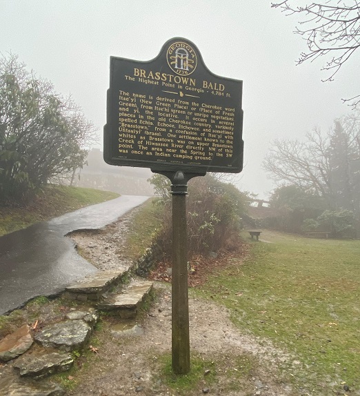
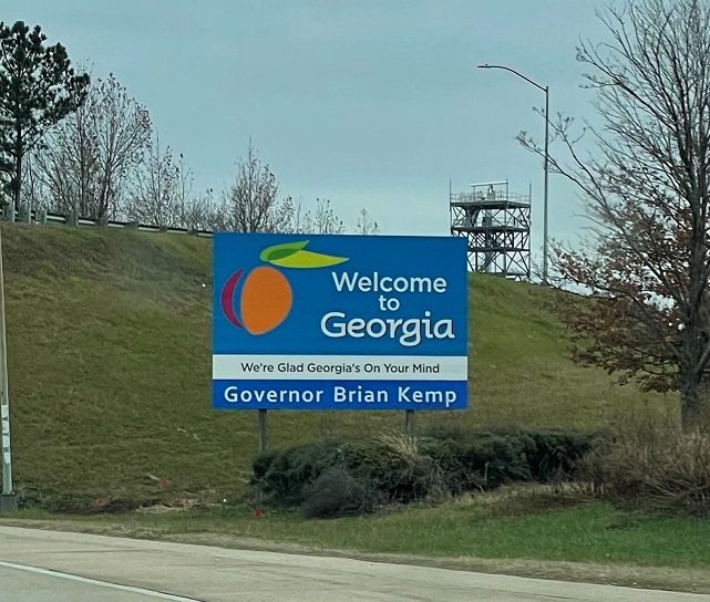
We were on our way around 1pm.   First stop: Brasstown Bald, Georgia’s Highpoint.  It rained the entire way there, and when we arrived, the parking area was shrouded in clouds. 

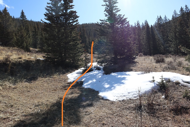
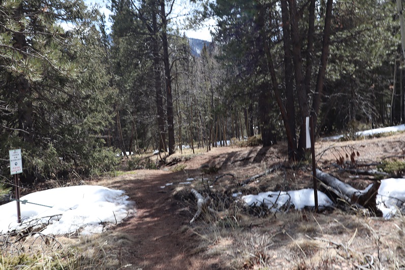
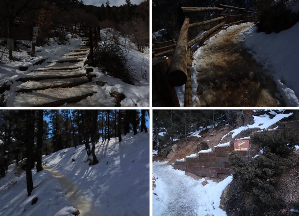
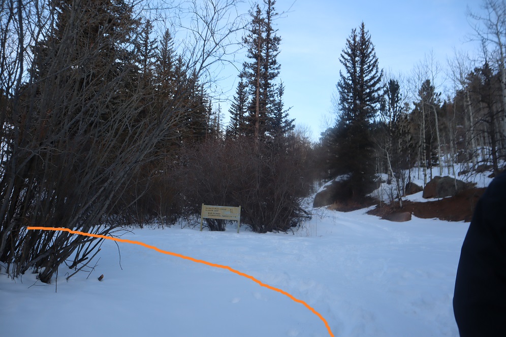
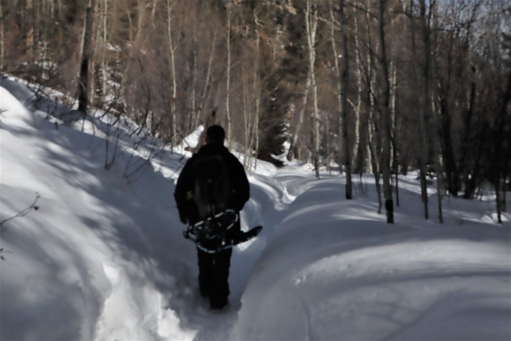
I wasn’t even sure we were in the right place, but after getting out my directions I realized it was a half mile walk up a closed (but paved) road.  We paid the $3 per person entry fee and parked.

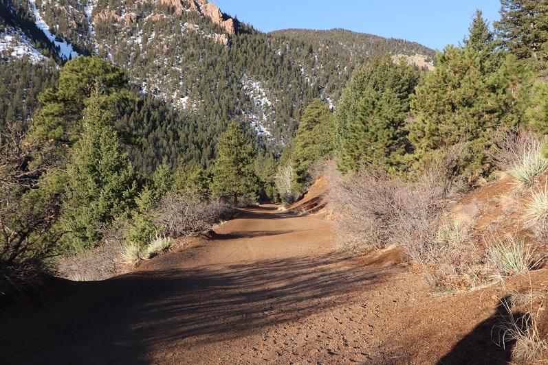
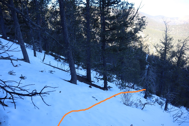
The weather was miserable, so I put on my hat, jacket, and heavy-duty gloves and we were on our way, walking up the road.

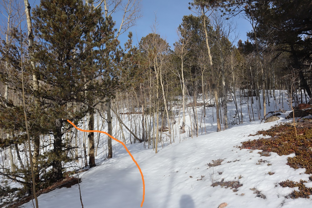
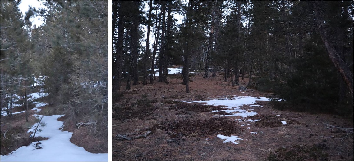
The walk up this road was easy, but in today’s conditions, miserable.  It wasn’t quite snowing yet, so we were getting soaked from the rain.  It was bitterly cold. Water was running down my gloves and I had to pull my jacket hood so tight I could only see a few feet in front of me. I much prefer snow to rain. 

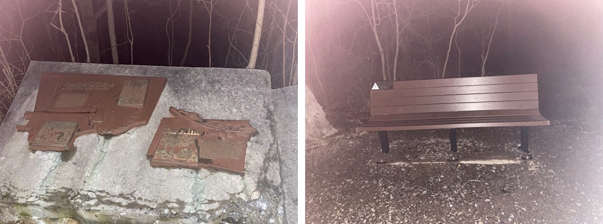
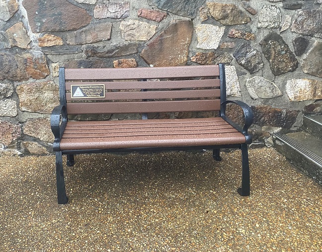
At the top of the hill was a plaque and a sitting area

And beyond that, the visitor’s center (closed)

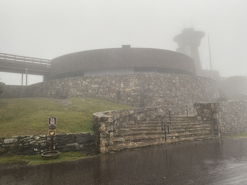
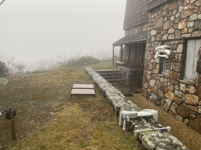
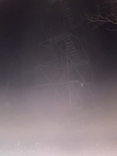
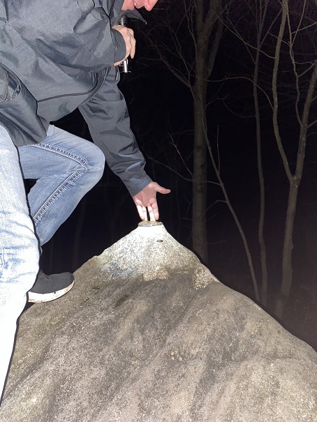
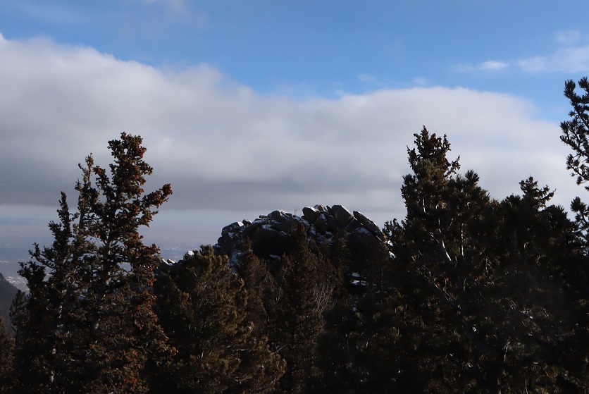
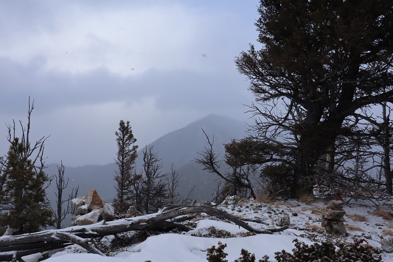
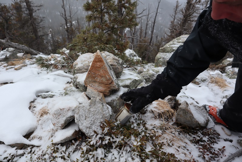
It was no surprise we were the only ones here today, as the weather was brutal.  The wind picked up as we took a look around, searching for the summit marker (side note, there isn’t one.  The rangers keep it locked up inside so no one steals it).  We found the Highpointers bench, and then climbed the stairs to the tower.  Unfortunately, the tower was closed due to COVID. 

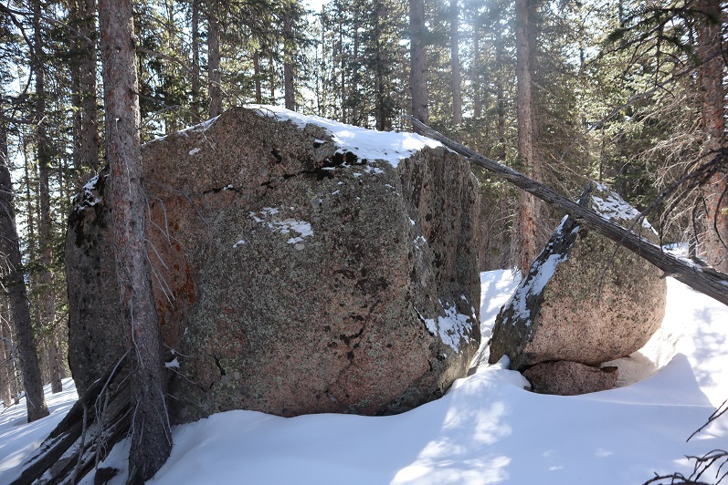
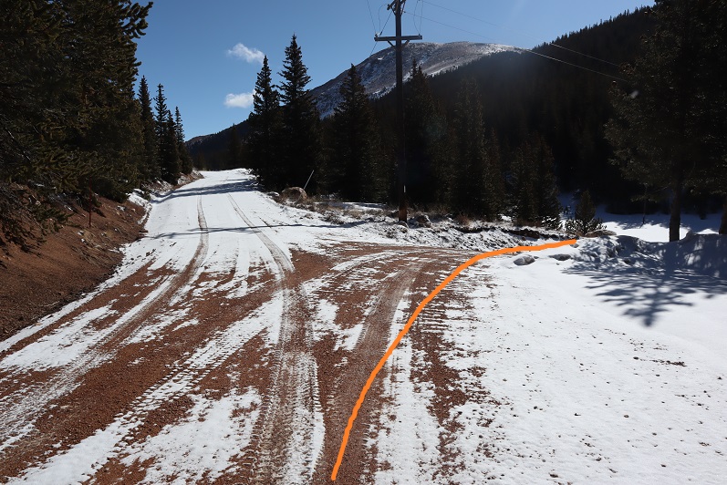
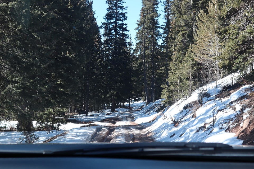
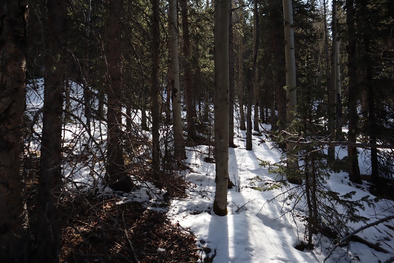
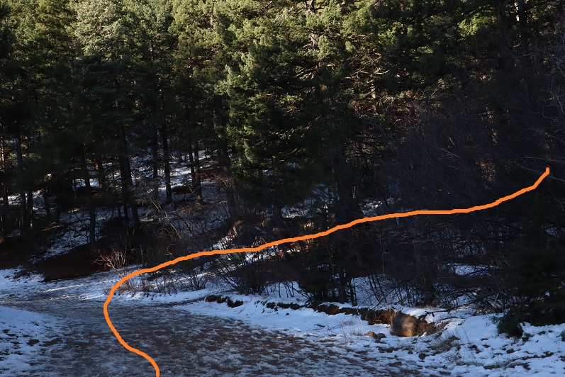
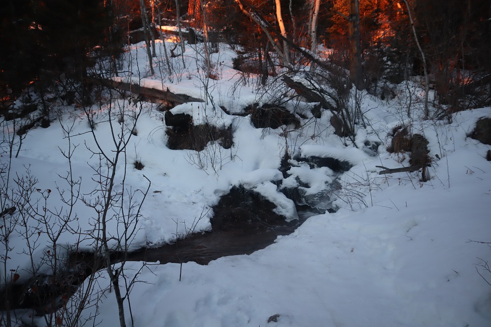
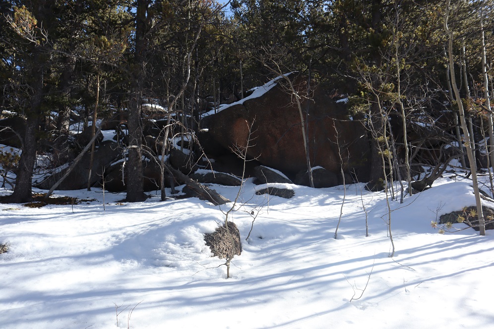
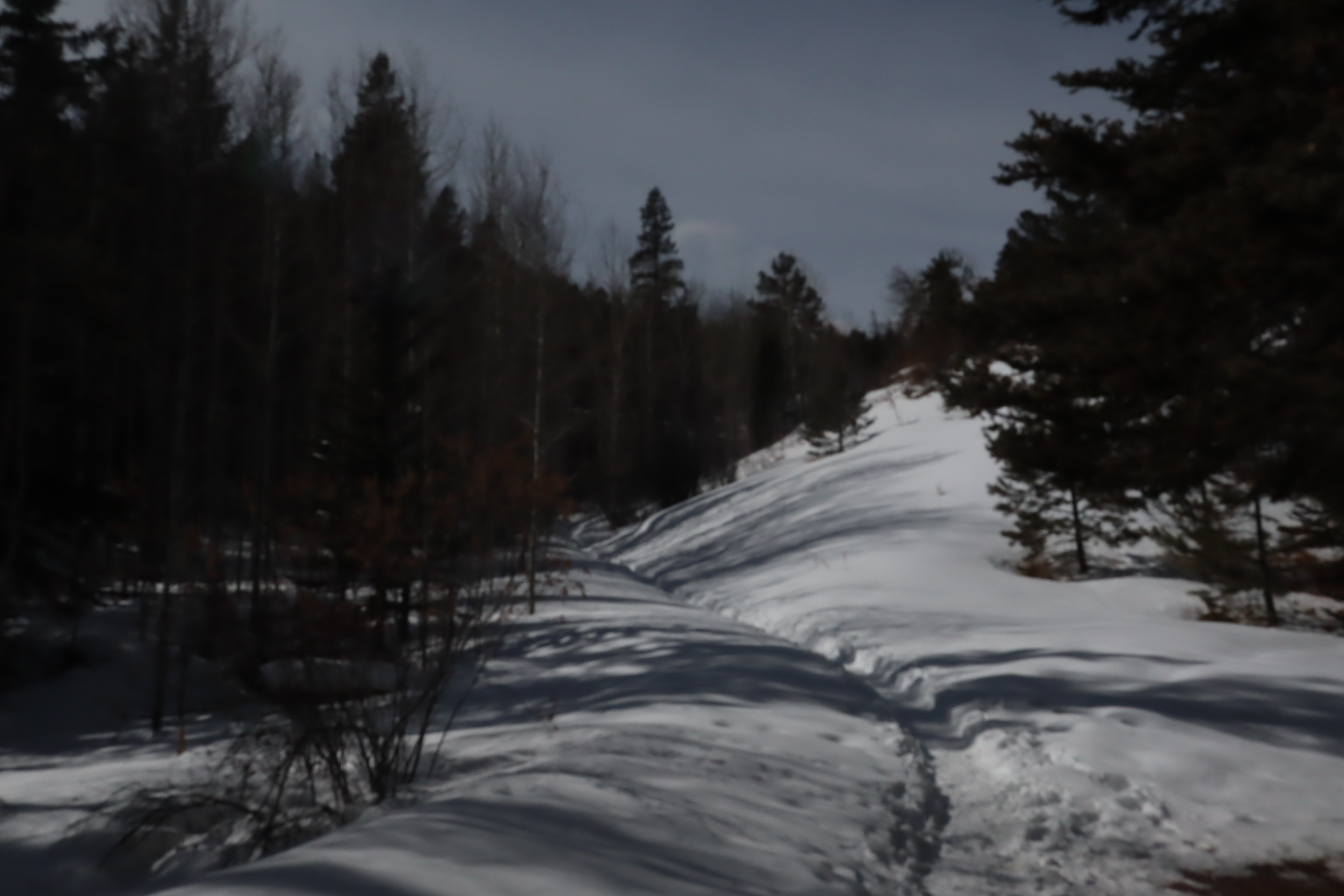
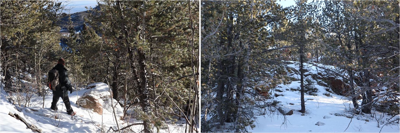
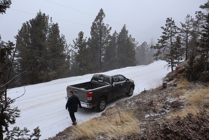
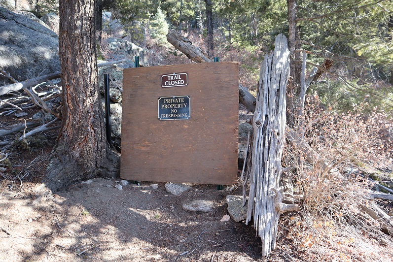
The wind picked up and it started snowing, so we decided to head back down.  We rushed to the car and headed towards our second highpoint of the day:  Clingman’s Dome, TN.  Unfortunately, the road was closed 6.5 miles from the summit, and it was still raining, so we decided to skip this Highpoint too and instead headed to Kentucky. 

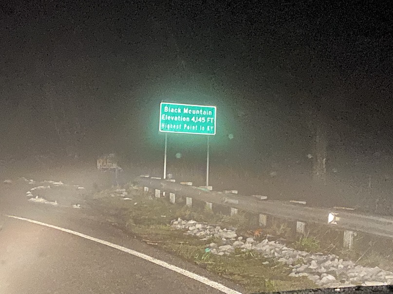
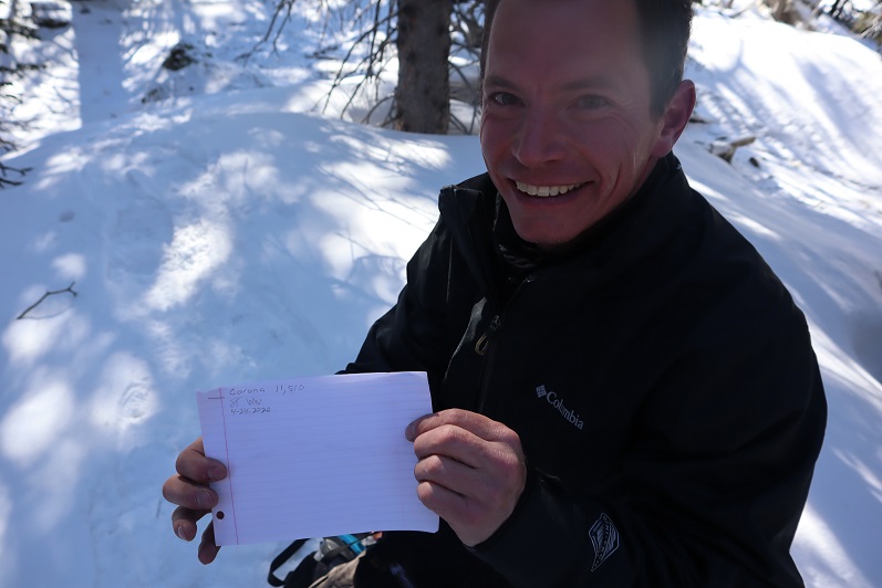
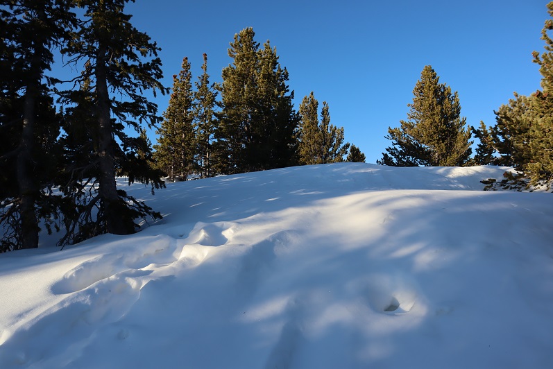
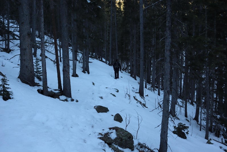
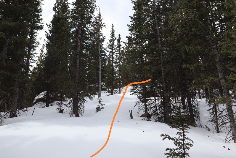
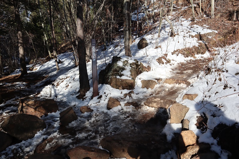
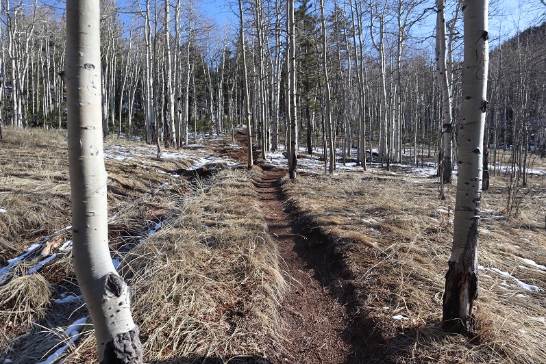
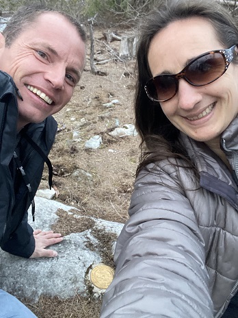
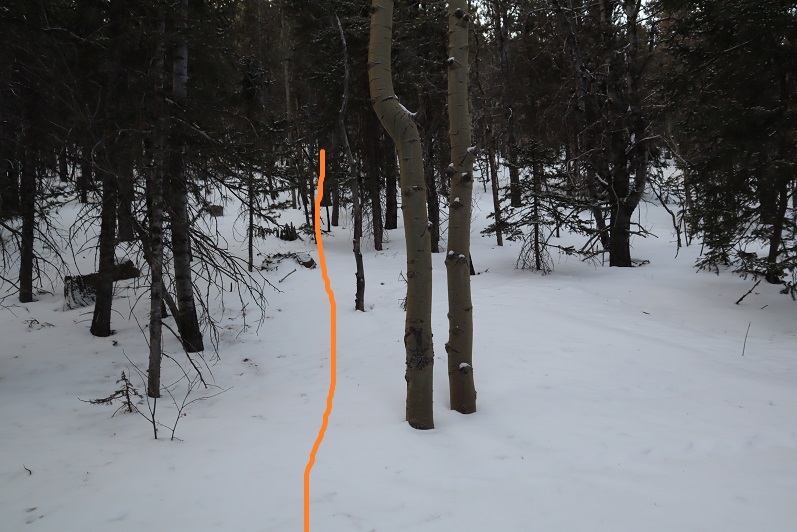
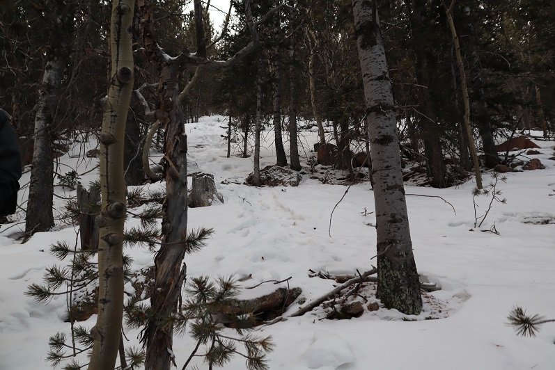
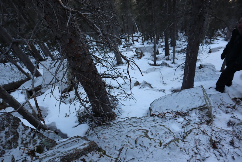
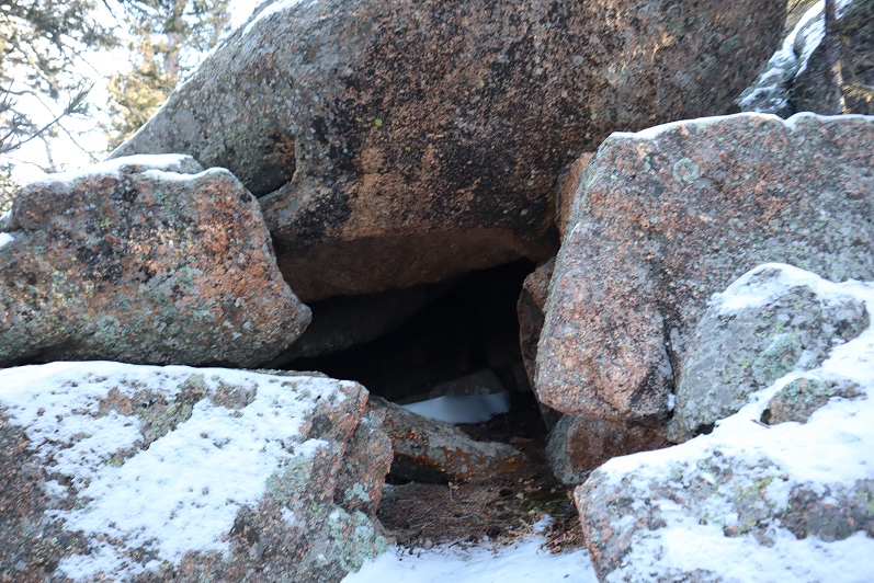
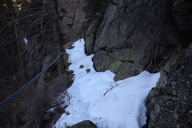
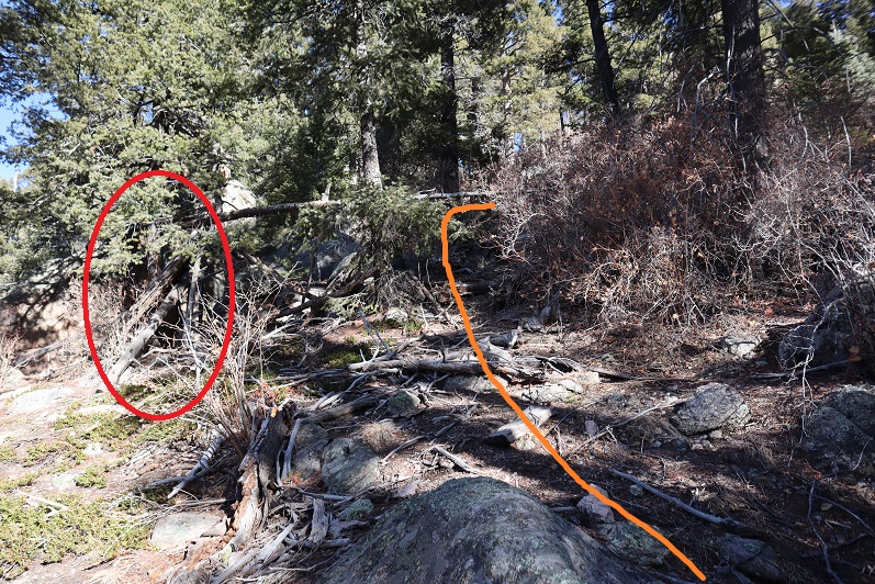
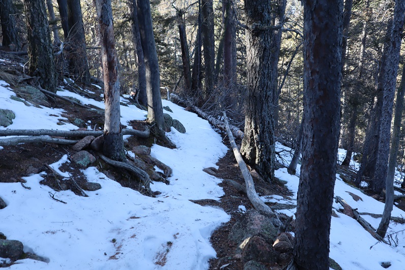
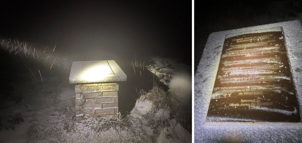
We got lost driving (this happens a lot when we highpoint, the intense 4WD road should have tipped us off) and arrived late at night, walking the short distance to the summit in snow. This highpoint is on private property, so we kept our waivers on us as we looked walked around the summit.

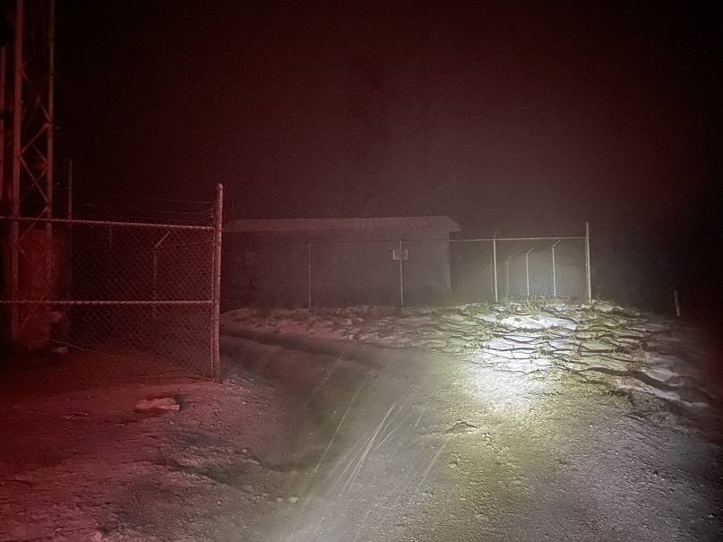
This summit had a tower as well, but we didn’t climb it (too clod)

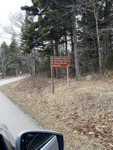
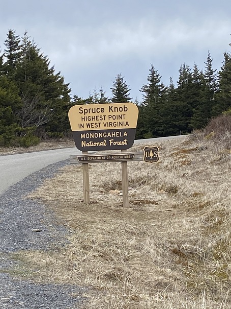
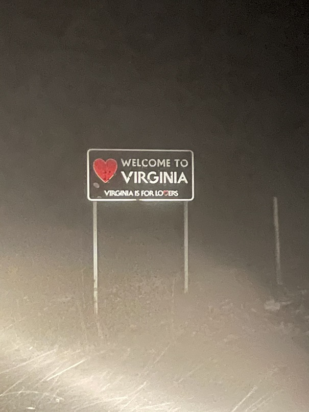
We made a mental note next time to add GPS coordinates to highpoints for our next trip, so we wouldn’t have such difficulties finding them, headed back to the car and drove to the summit we hoped to hike in the morning:  Mt Rogers, VA.  Passing through Gaitlinburg we noticed they were having some sort of parade/celebration, as the city was all done up in lights and there were tons of people milling about.  This looked like a fun town.  Maybe next time we’ll stay here when we come back for the highpoints we weren’t able to get this trip.  We stopped at a grocery store for some cheese, crackers, and meat (side note:  garlic ritz are the bomb) and were on our way, listening to a Harry Potter book on tape.

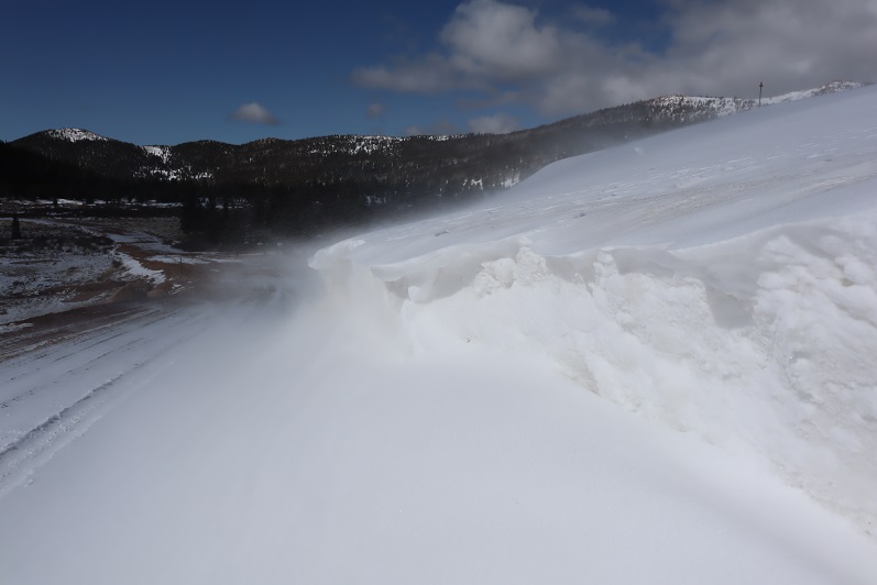
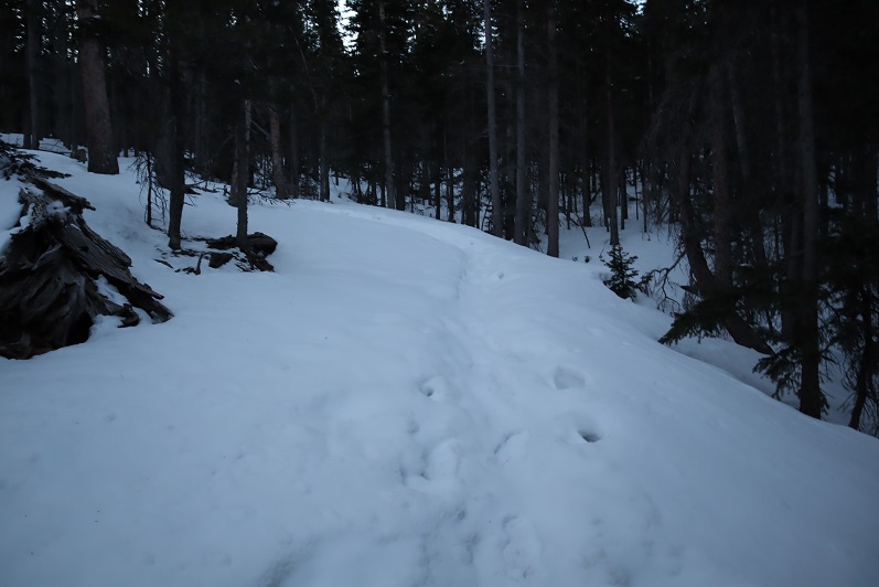
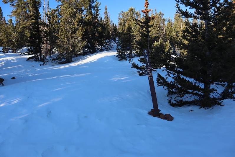
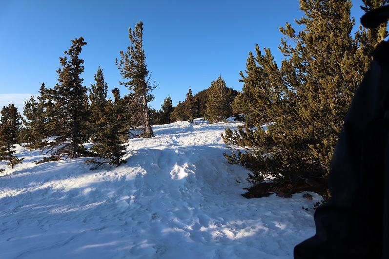
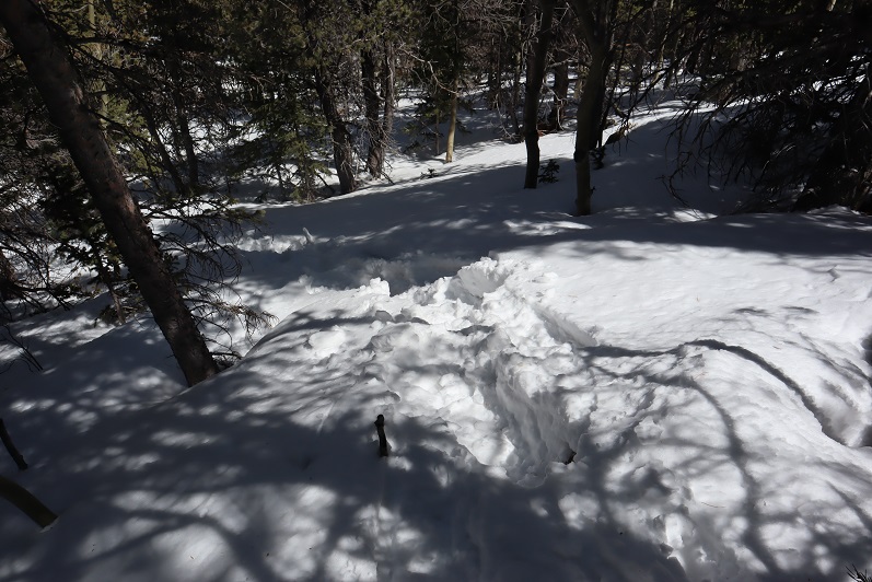
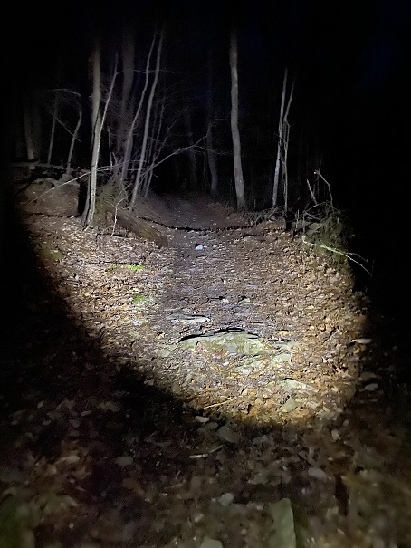
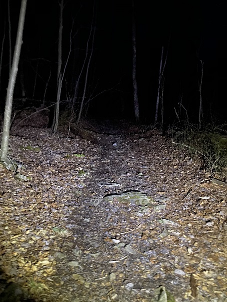
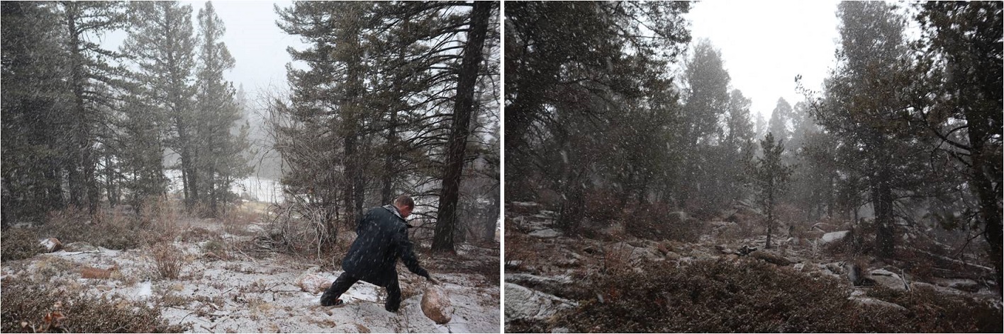
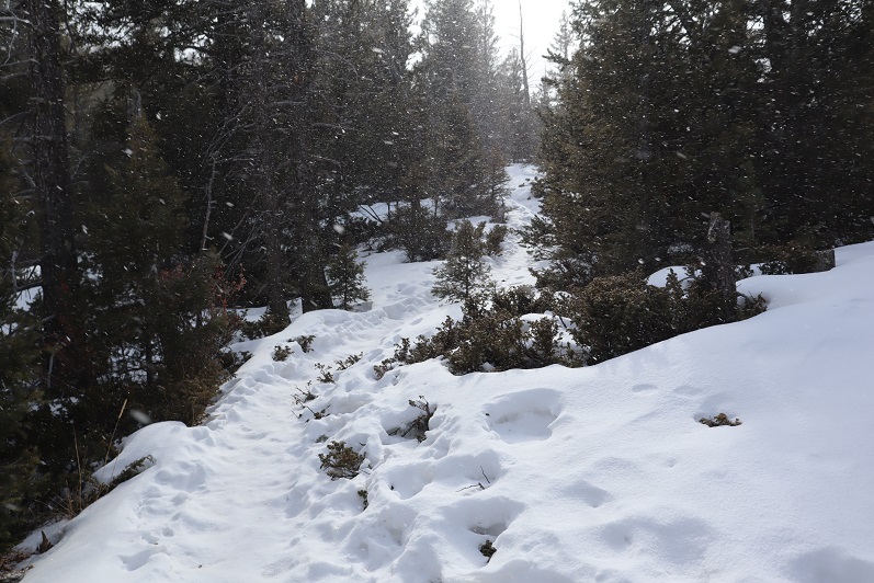
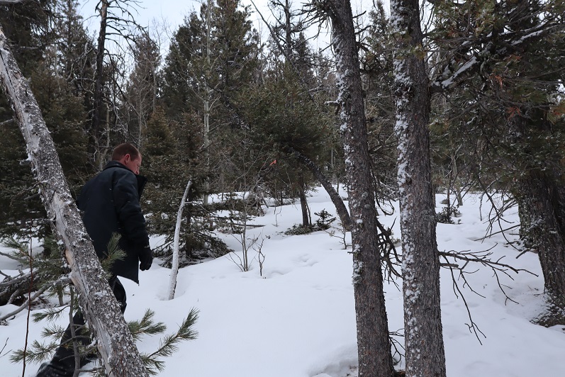
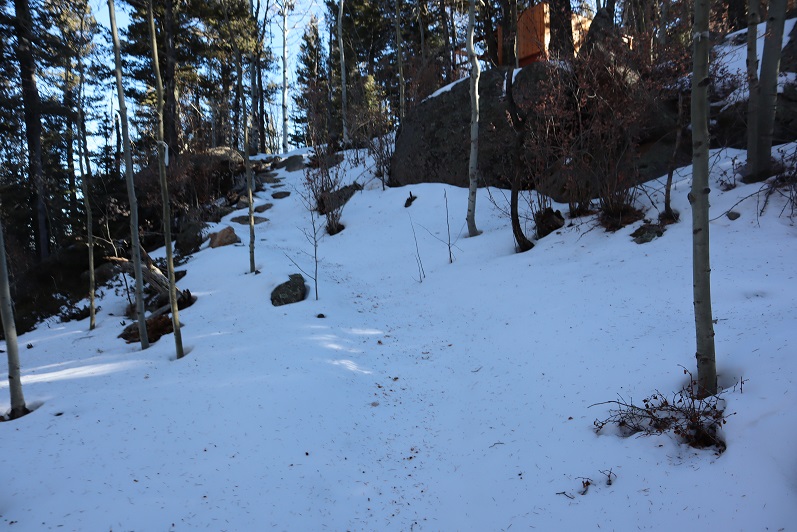
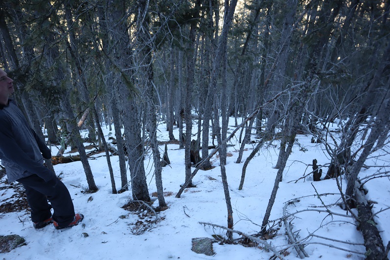
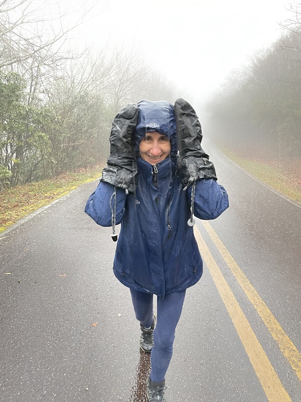
We arrived at 4am to the trailhead.  The snow, which was supposed to stop around midnight, showed no signs of stopping.  We decided to get a few hours rest and start out at first light.  The wind howled and blew snow around us as we slept, or rather, tried to sleep, as we were slightly afraid the car would tip over in the wind.  We were comfortable sleeping in the back with our sleeping bags and heated blanket, but the noise from the wind kept us awake.  At 6am we turned on the heater, and at 7am we called it.  The wind and snow were just too much for an attempt today. 

On to the next highpoint! 

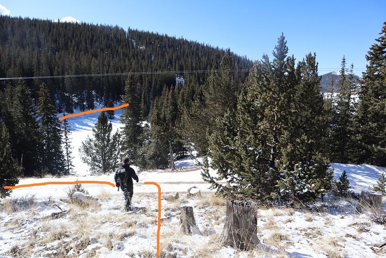
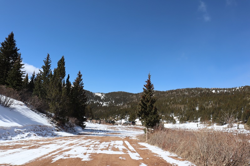
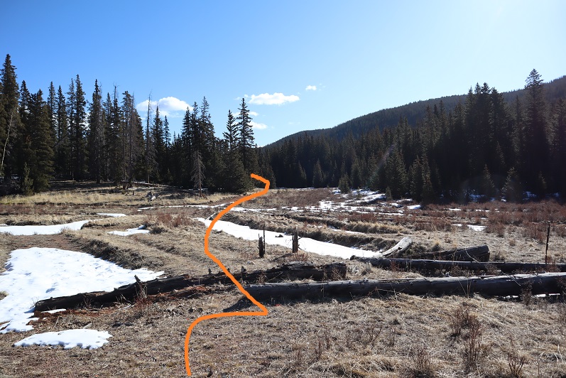
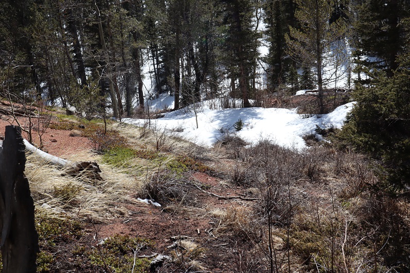
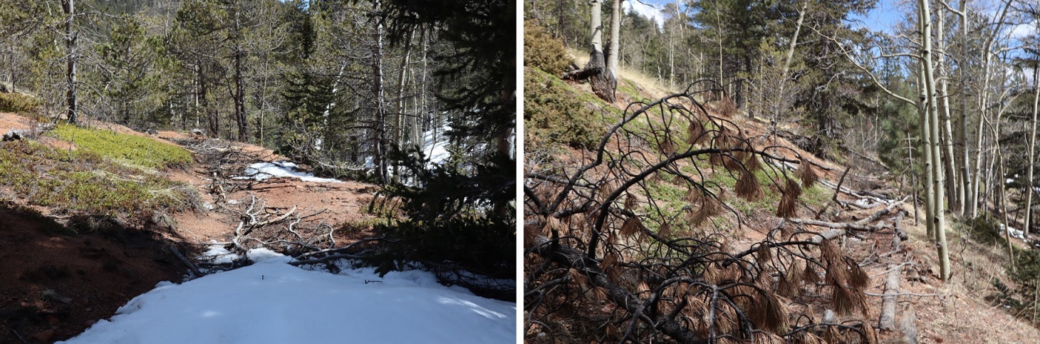
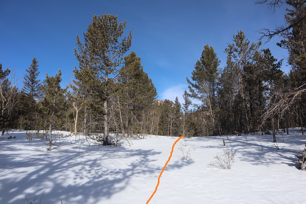
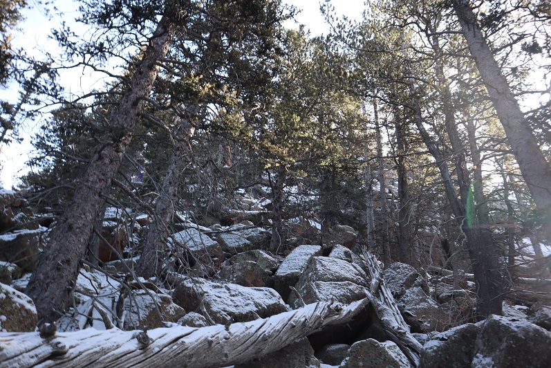
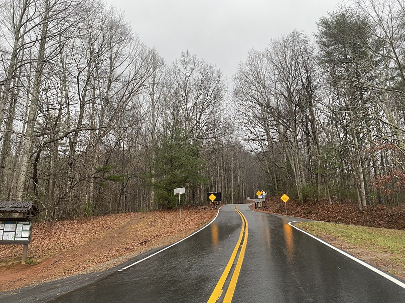
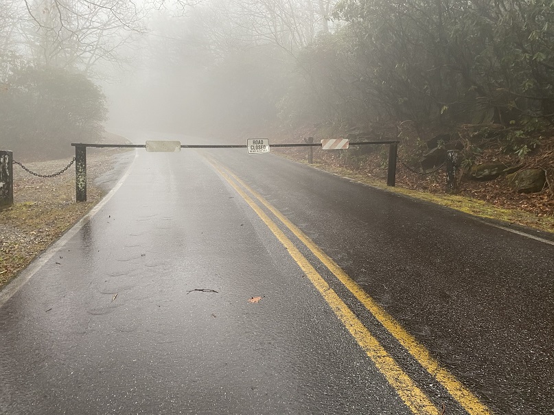
We crossed into North Carolina, and attempted to take the Blue Ridge Parkway to the summit of Mt Mitchell, but it waws closed.  We then tried to take a back route, and got pretty close.  The weather was nice and there wasn’t any snow on the ground, but we encountered a winter closure gate.  Hmmmm.  They should really publicize things.  There are a lot of great dispersed camping spots here.

No worries though:  on to the next highpoint! 

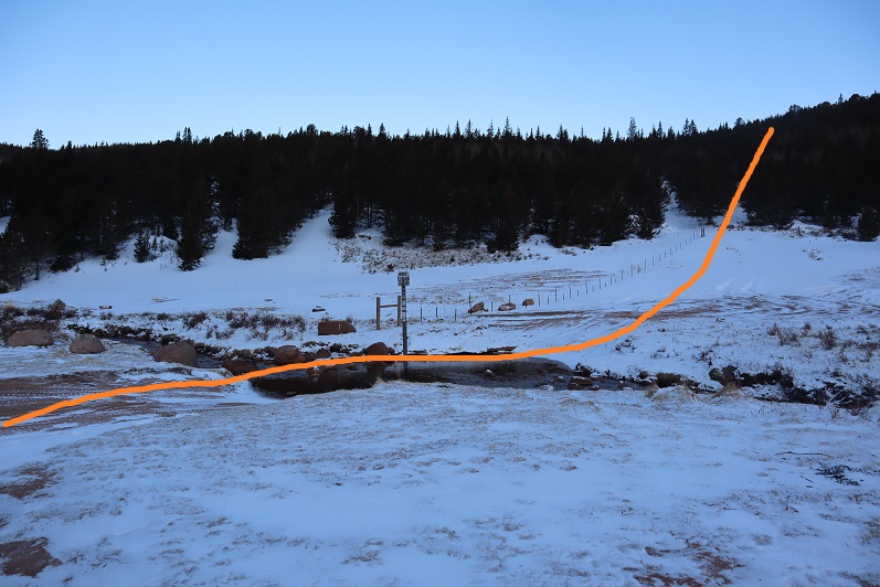
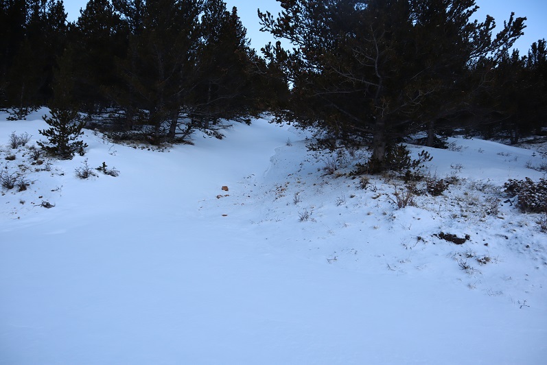
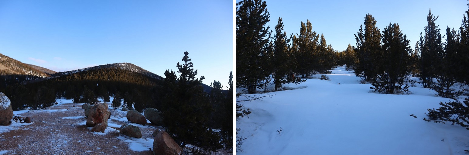
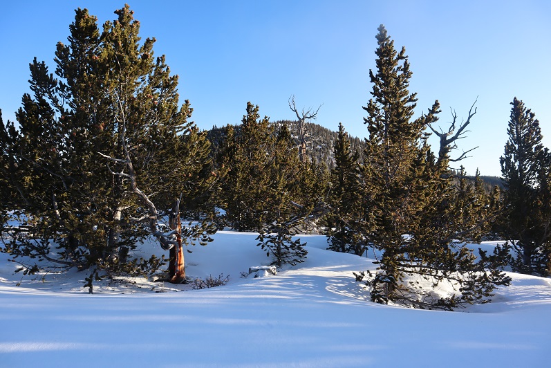
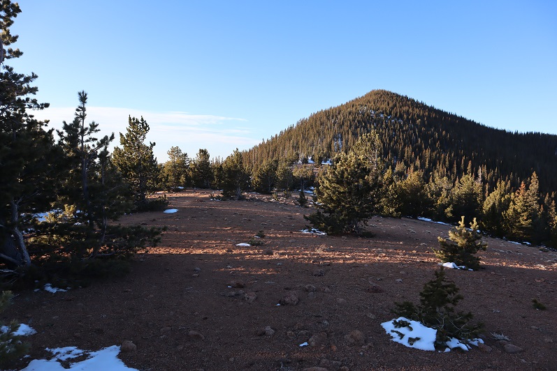
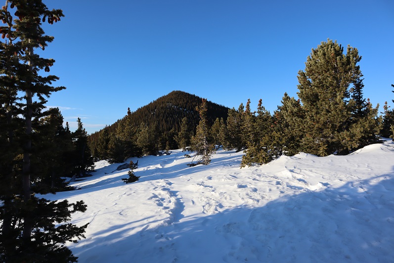
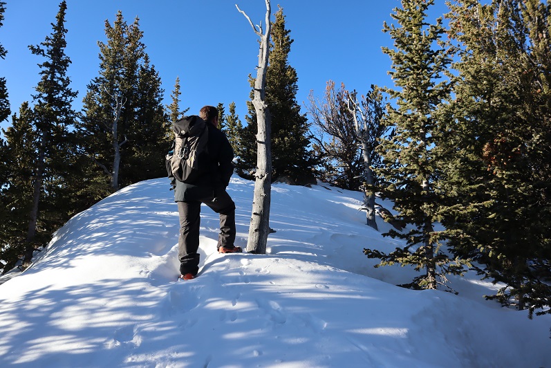
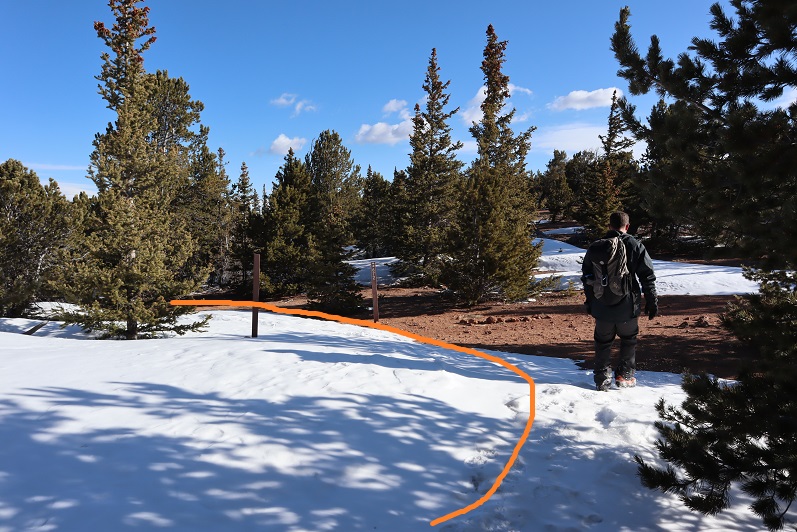
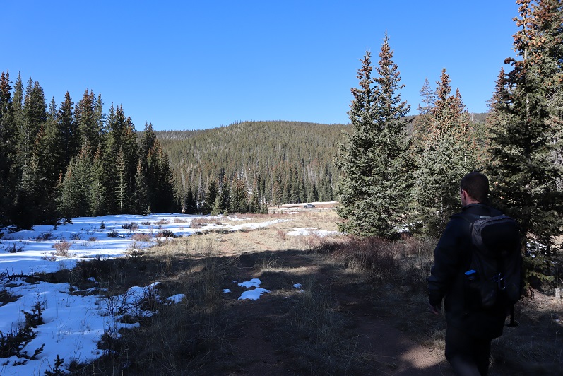
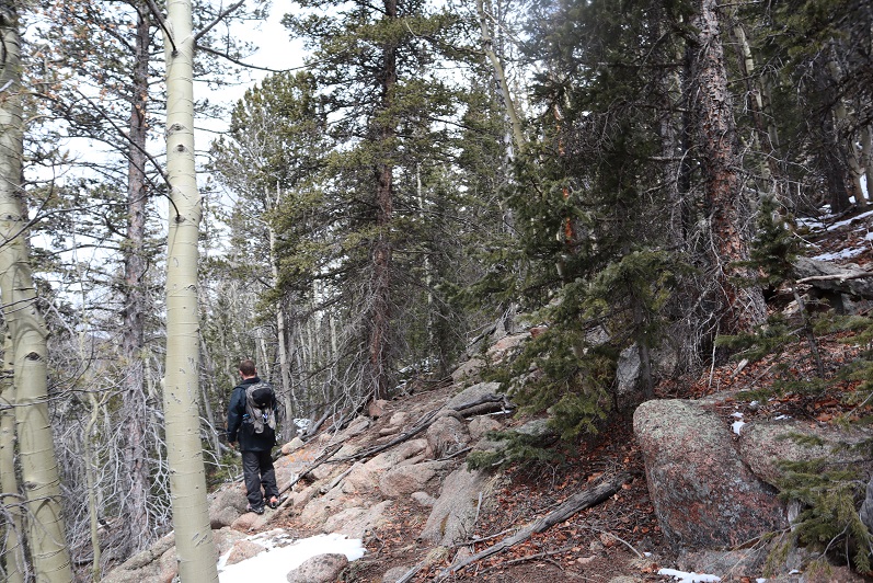
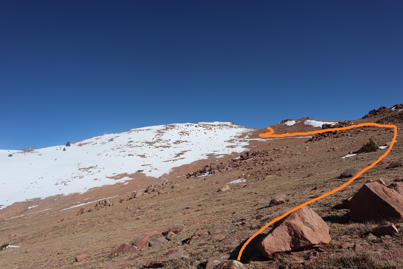
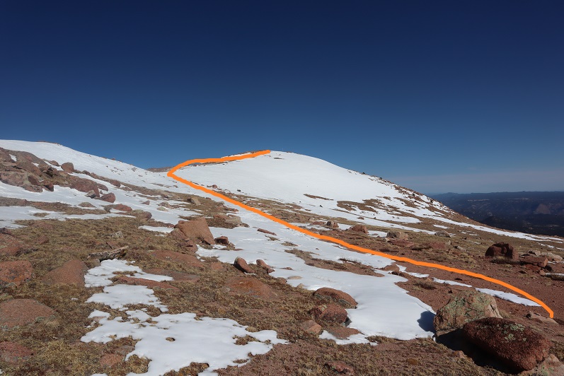
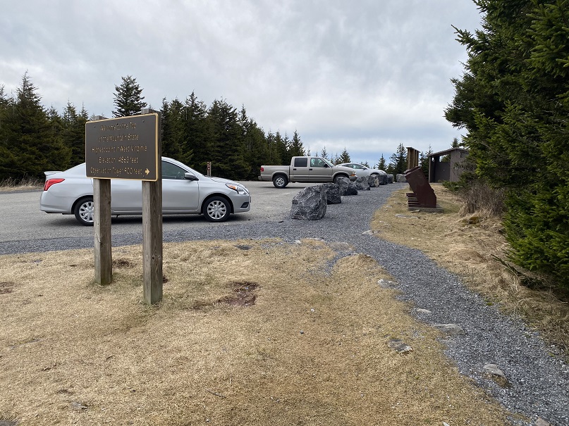
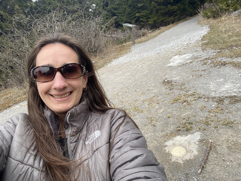
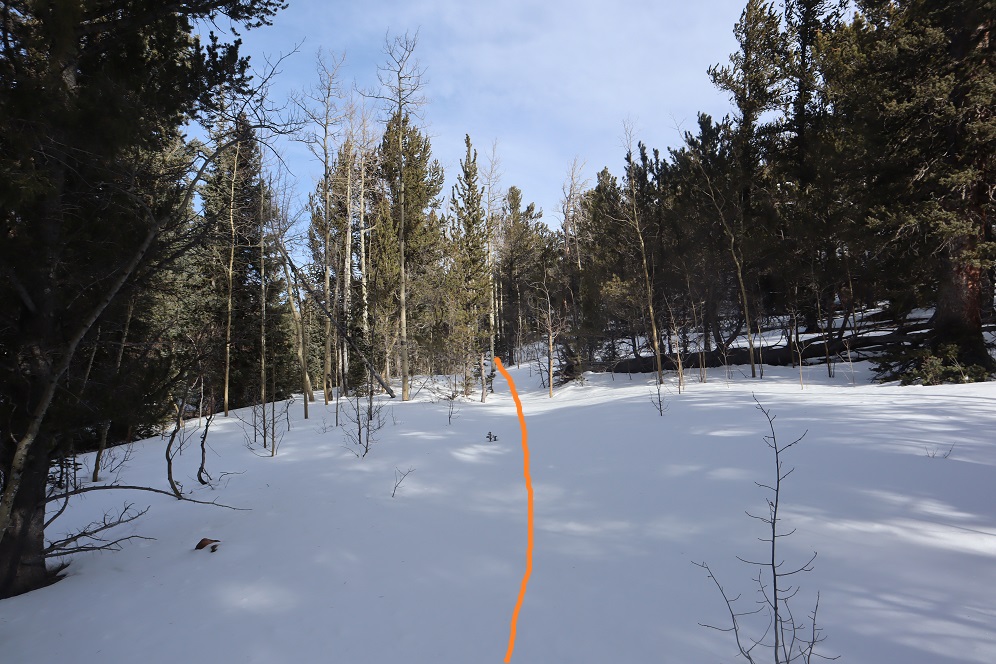
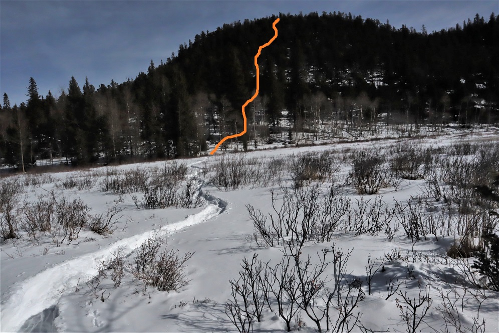
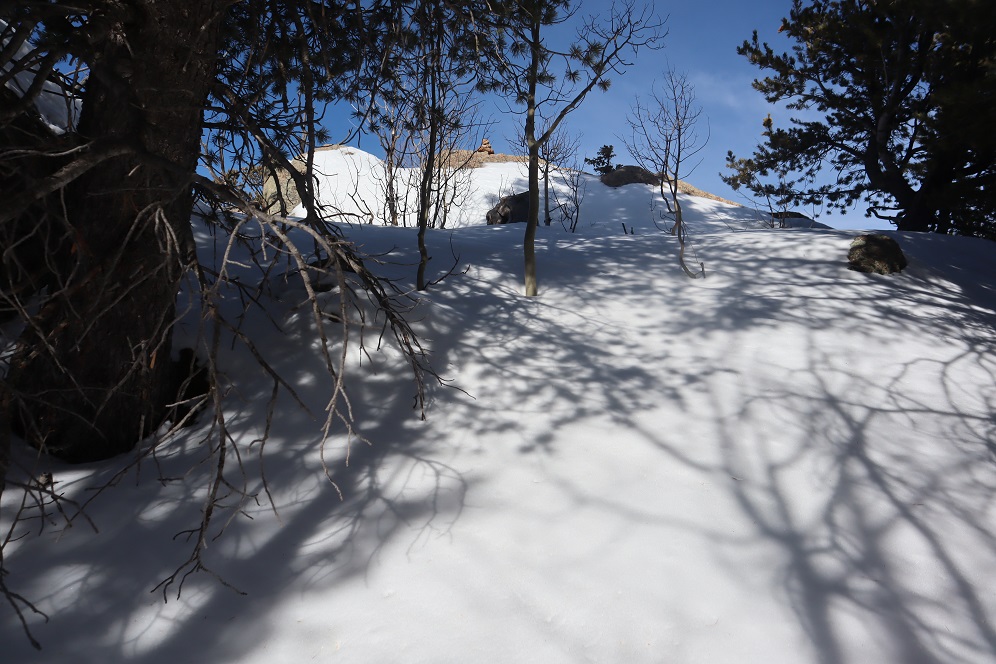
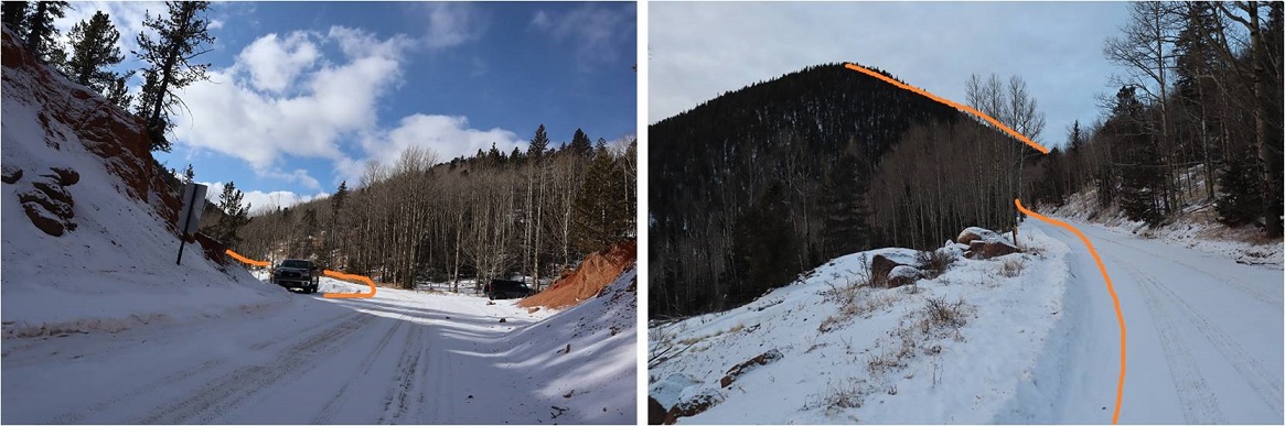
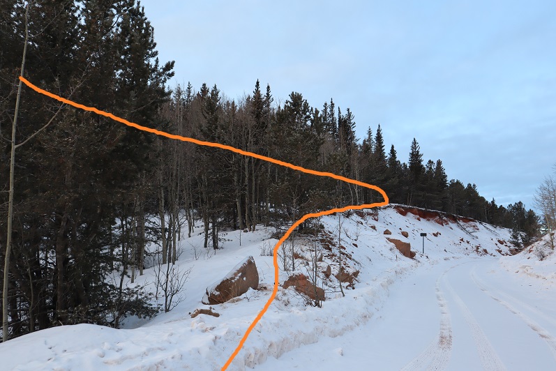
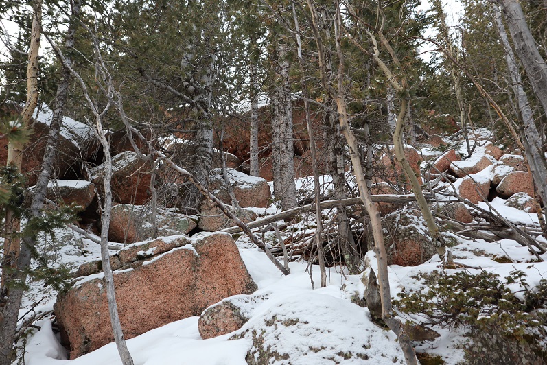
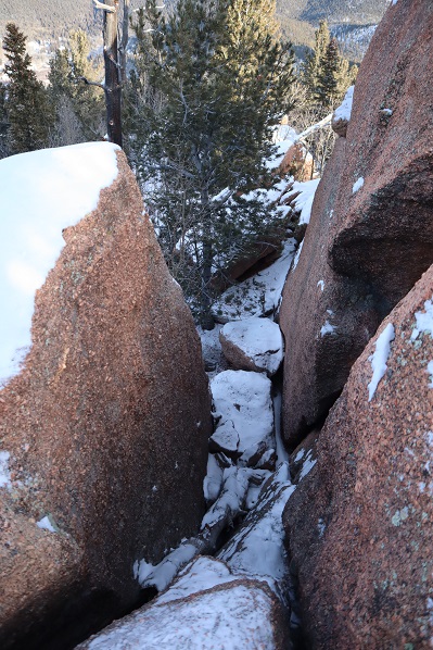
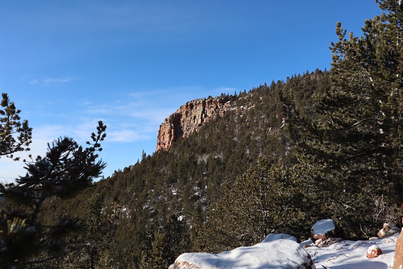
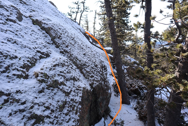
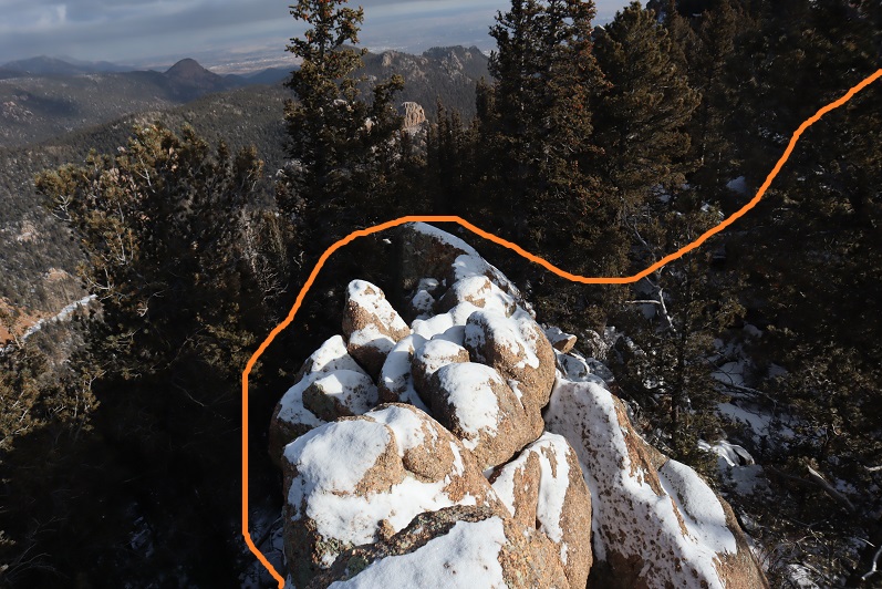
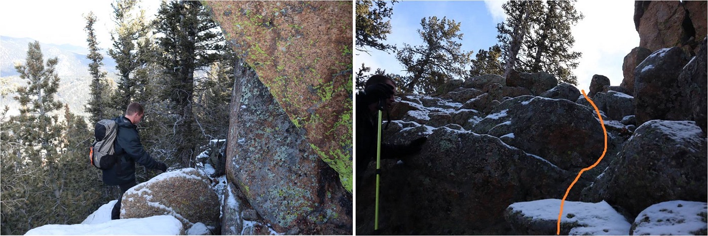
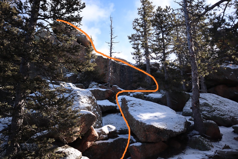
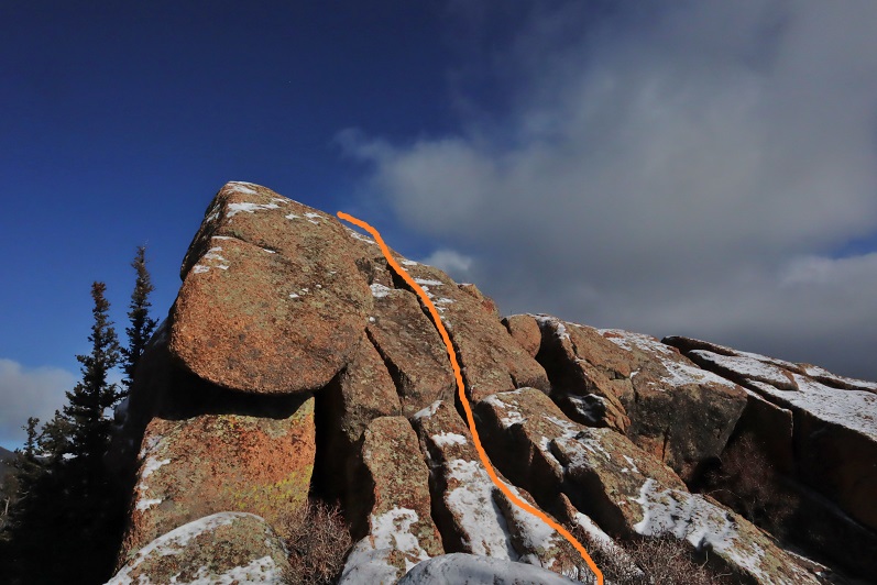
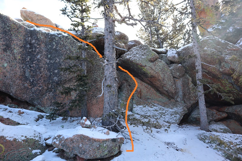
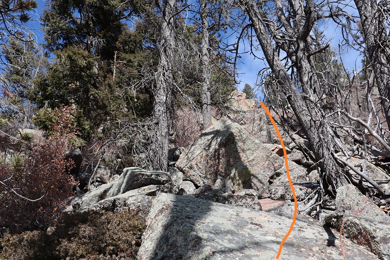
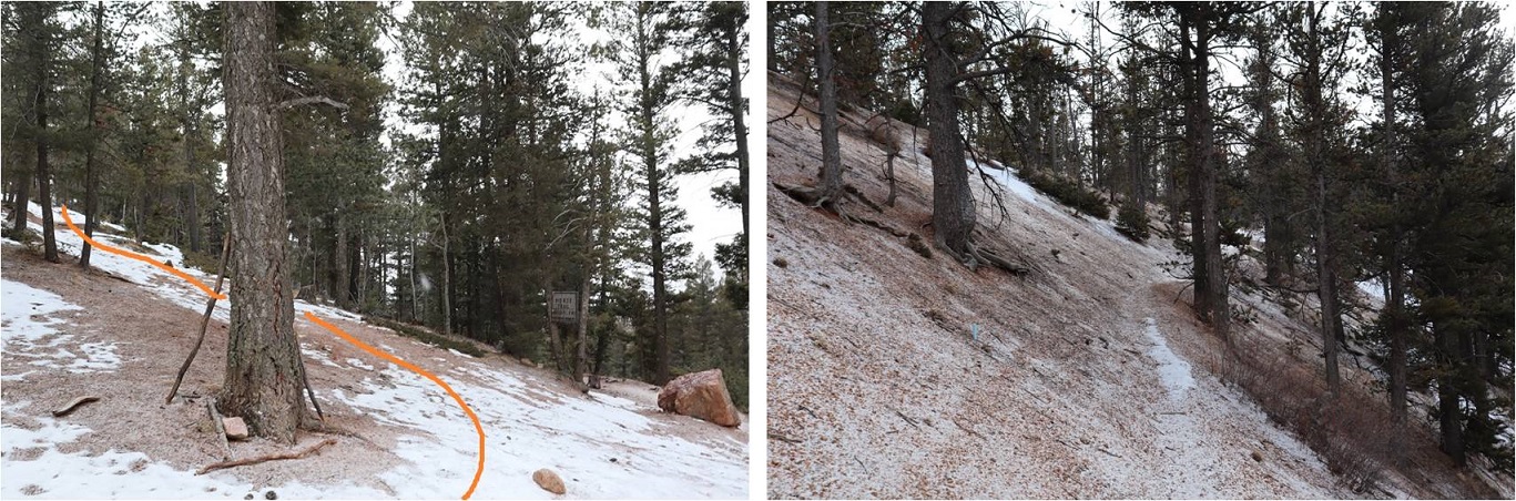
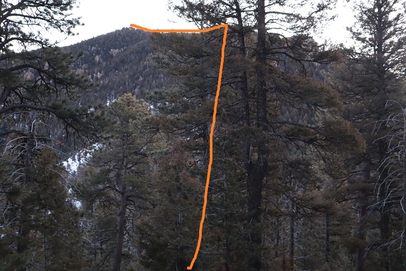
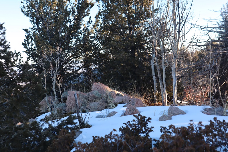
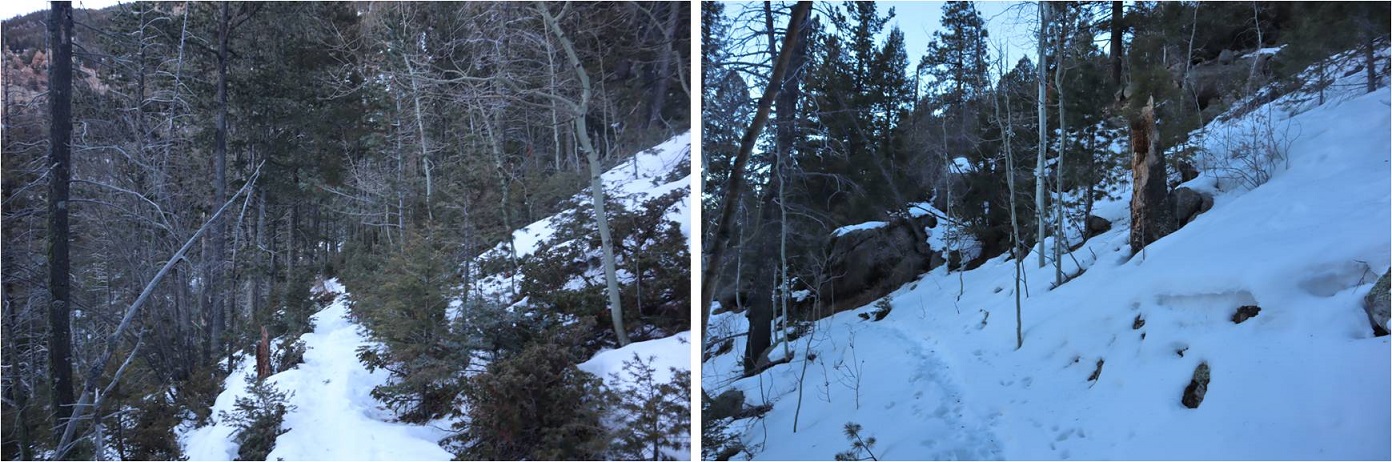
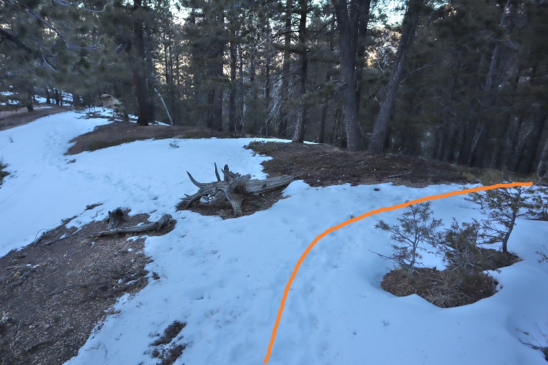
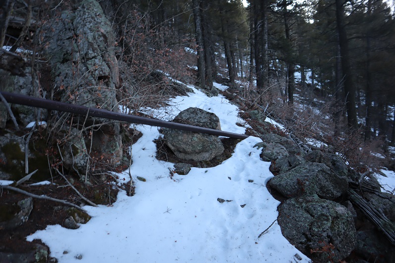
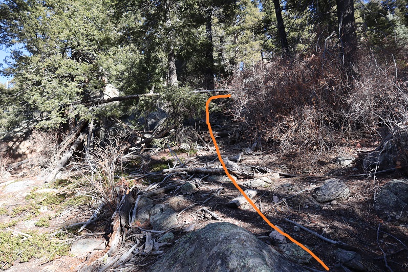
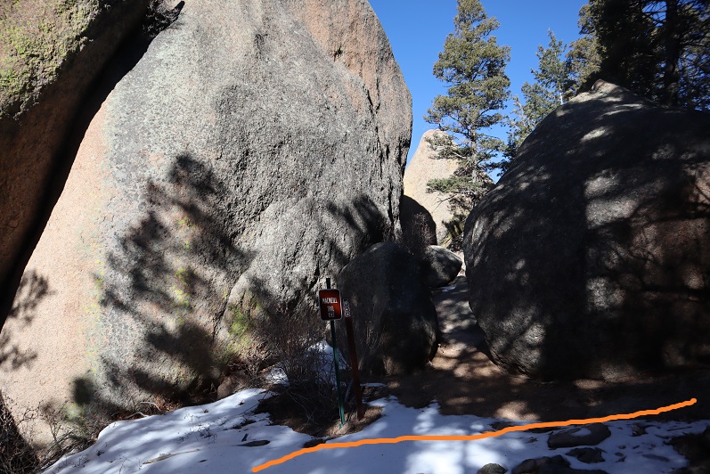
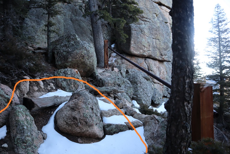
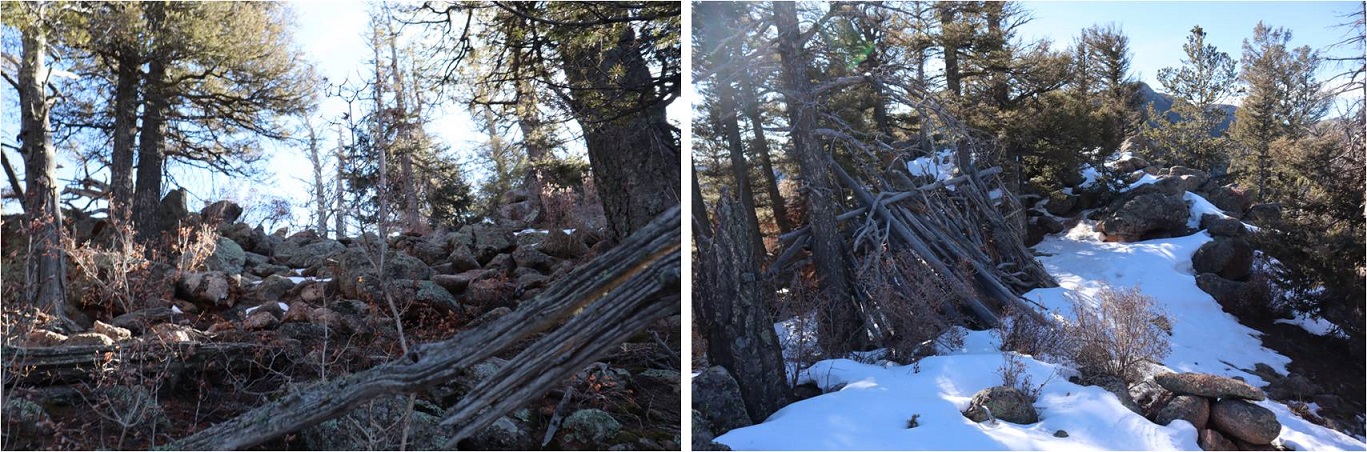
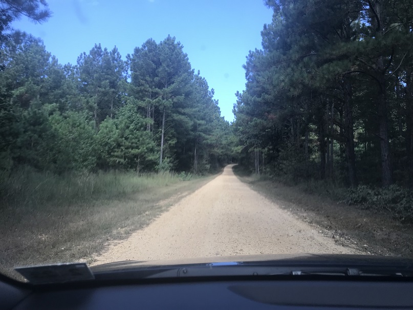
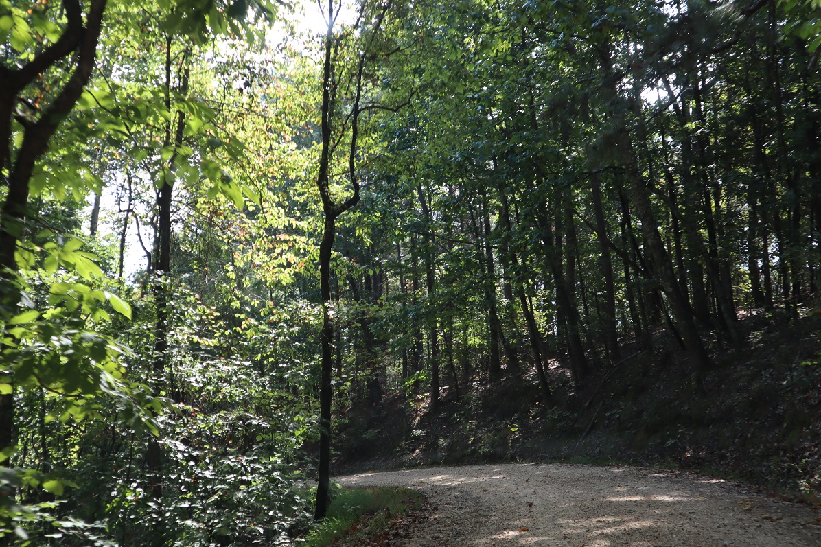
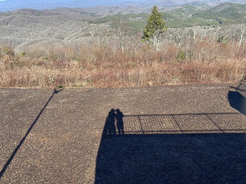
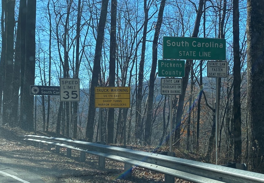
We were on our way to South Carolina.  Sassafras Mountain was my favorite highpoint of the trip.  Not only does it have a cool name, but the road was open to the top and it was a beautiful day!  There’s a short hike to the summit area just beyond the closed gate.

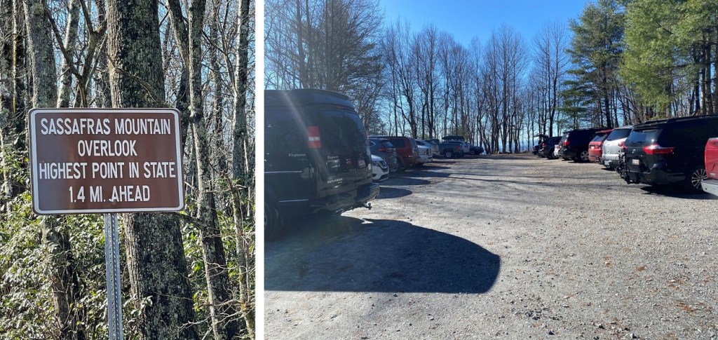
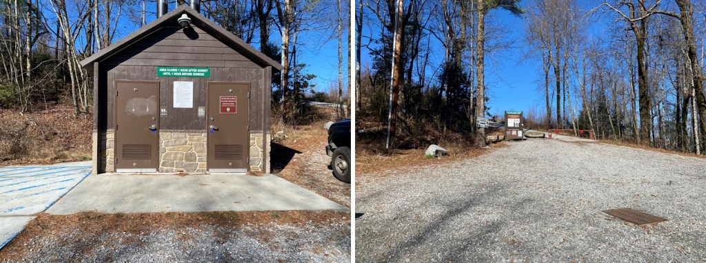
We walked up the gravel road to a very nicely done highpoint.

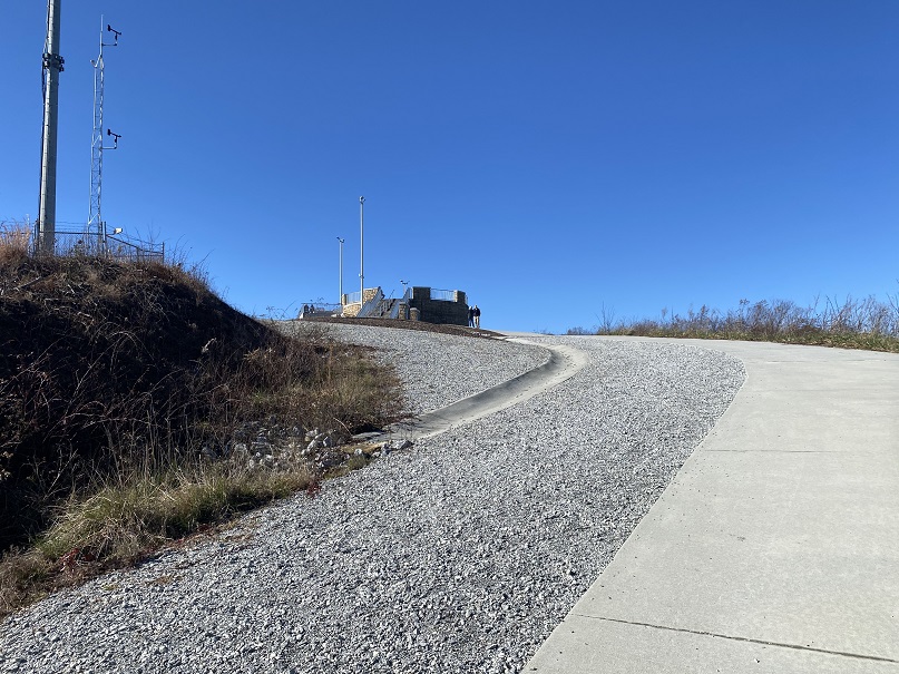
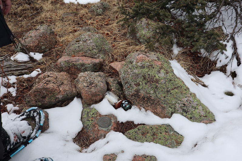
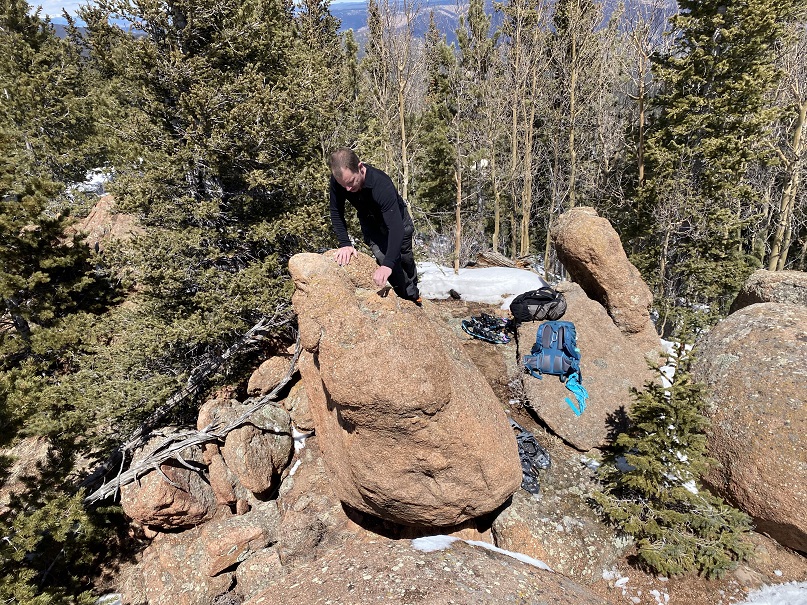
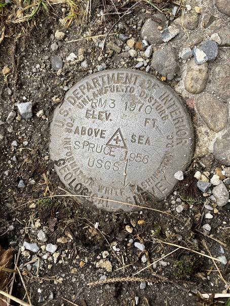
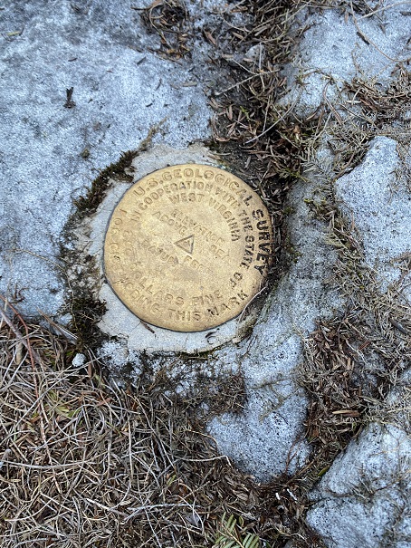
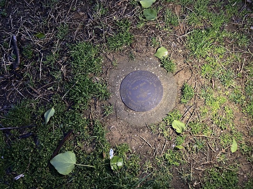
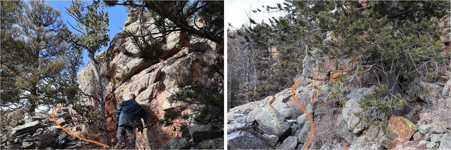
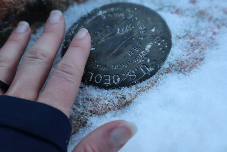
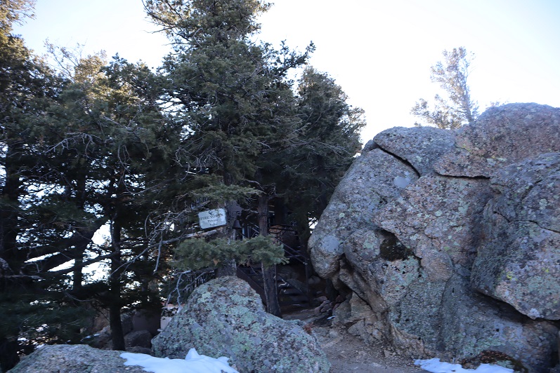
The summit marker, bench, and plaques were easy to find

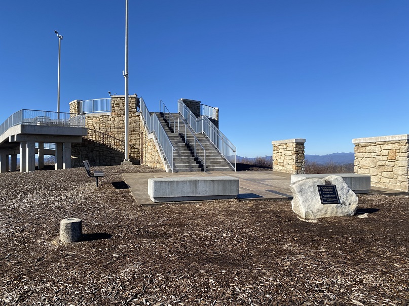
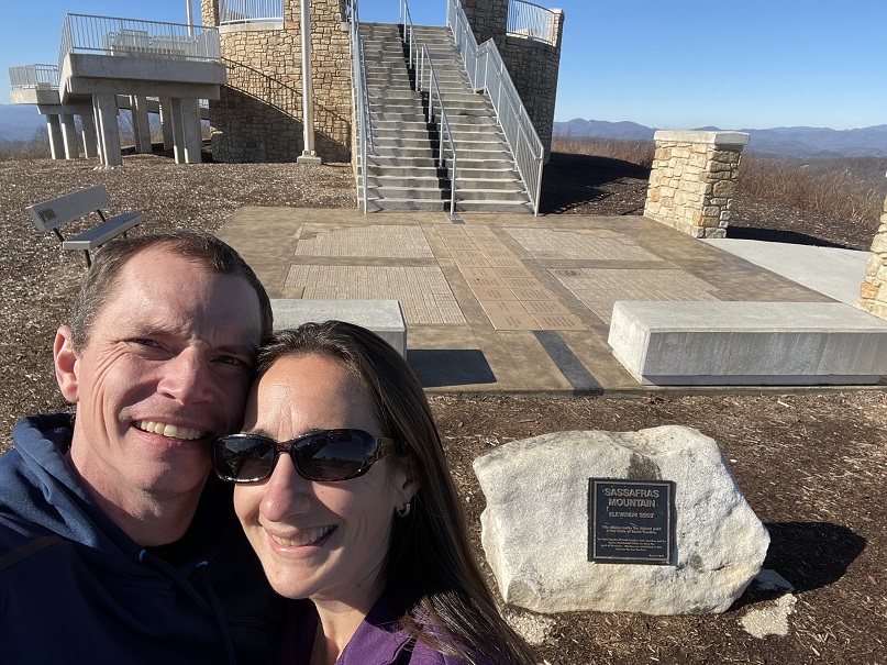
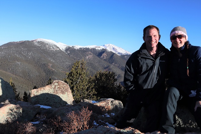
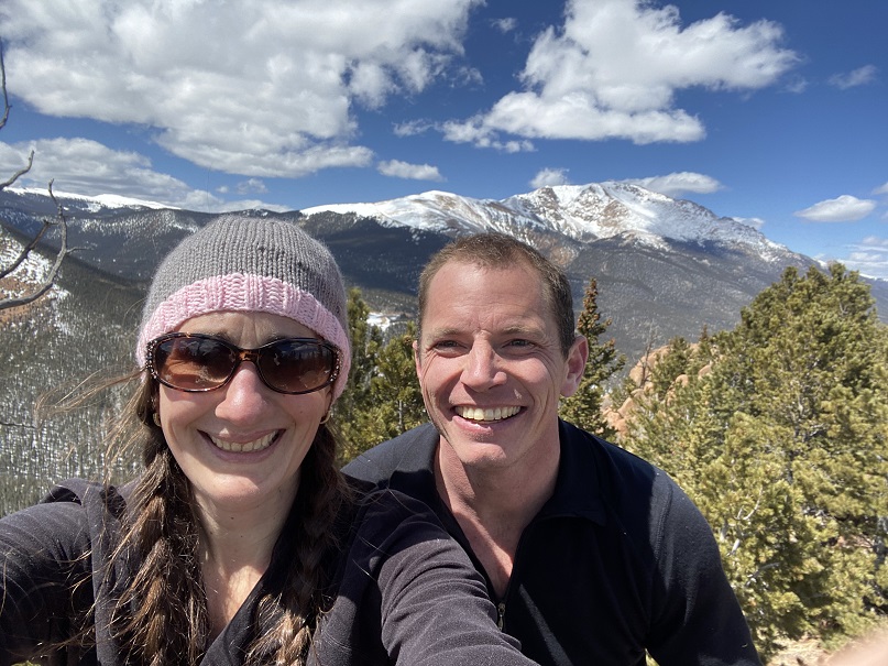
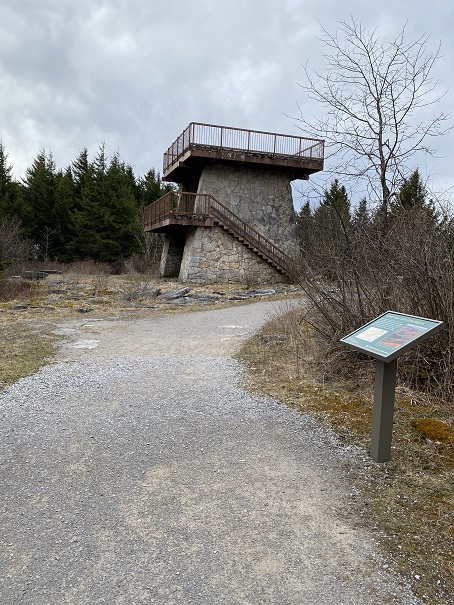
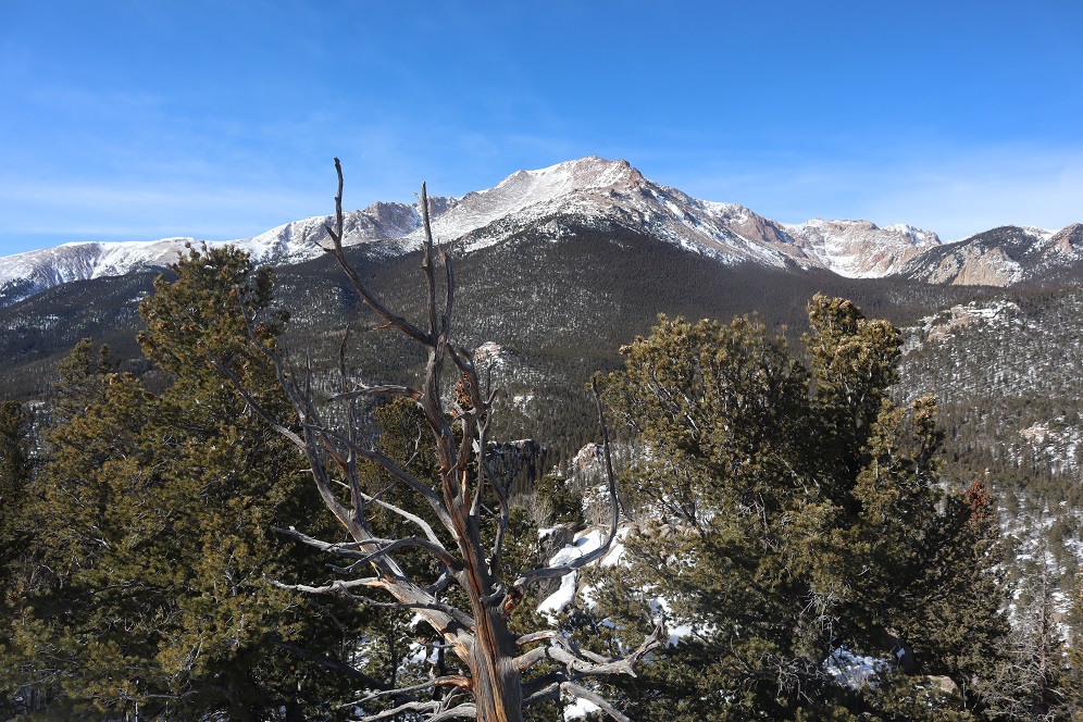
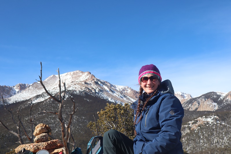
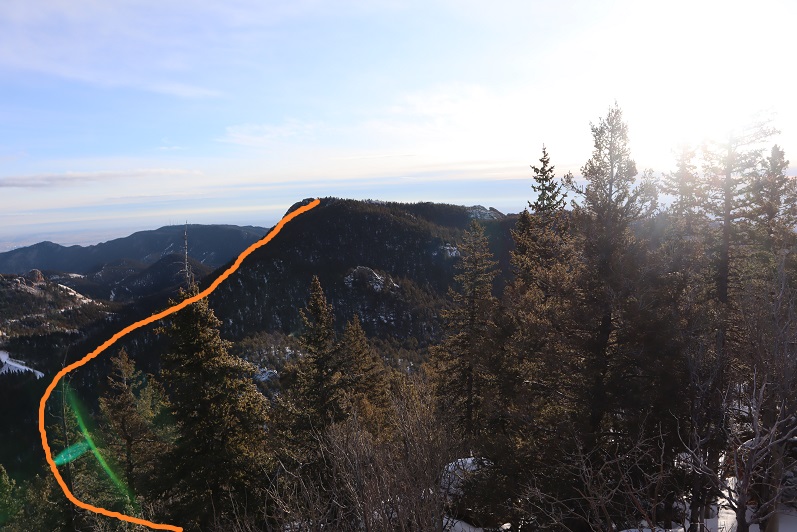
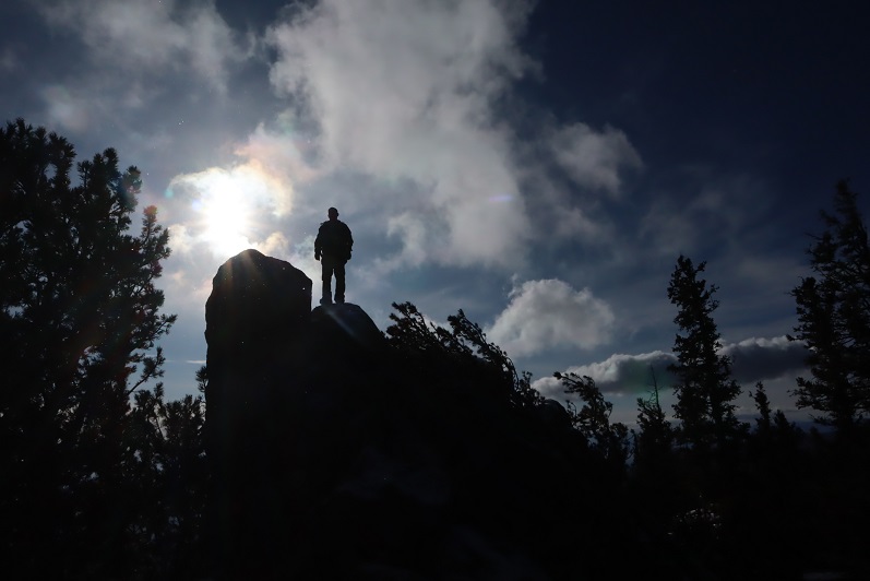
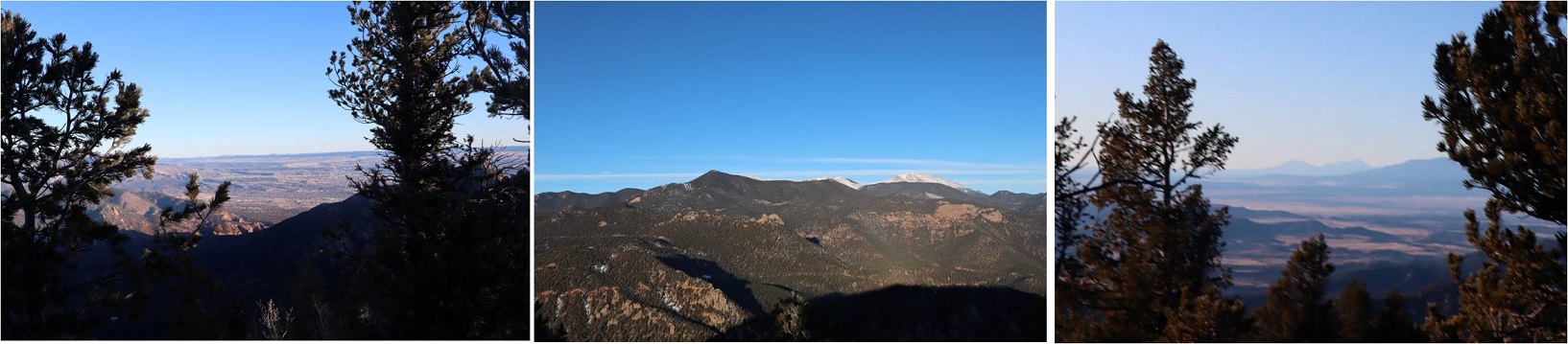
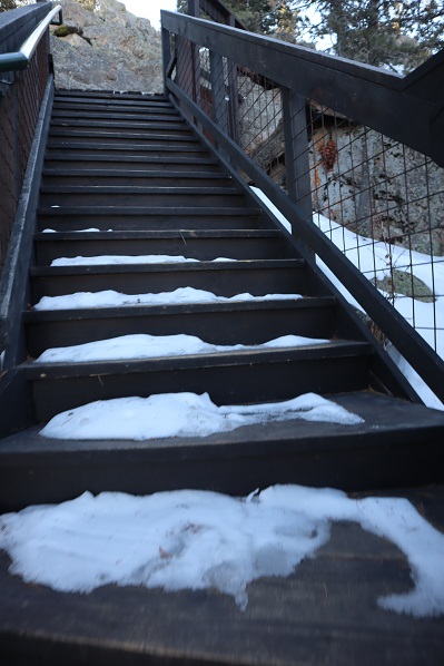
We walked up the stairs to the observation area, and realized we were on the NC/SC state line!  So cool!  So, of course we took photos.

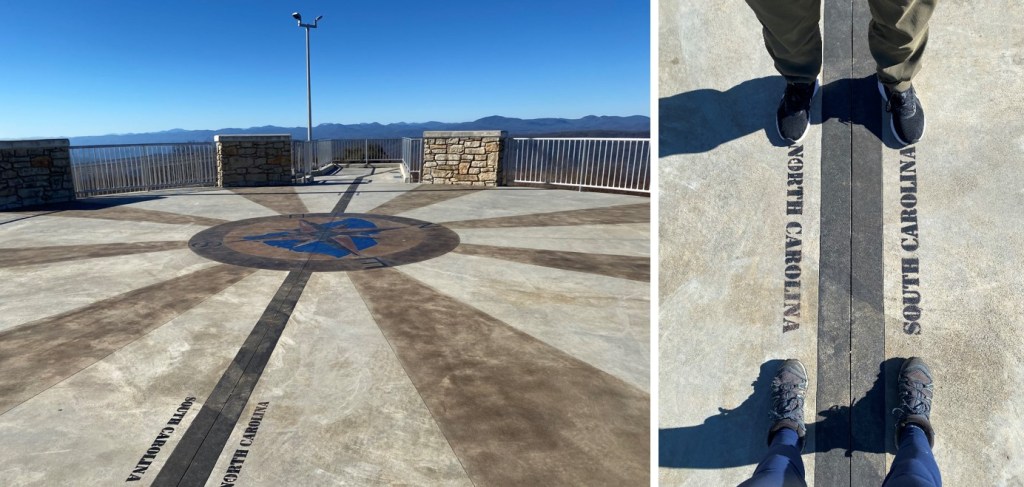
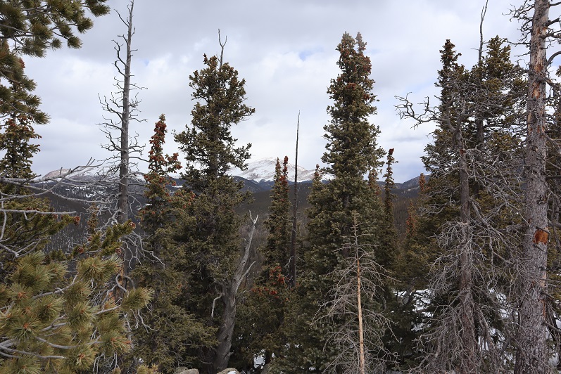
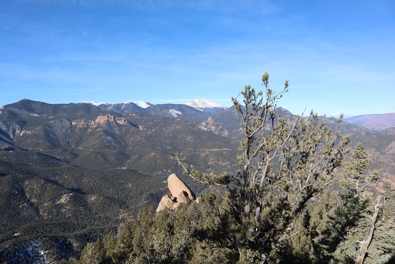
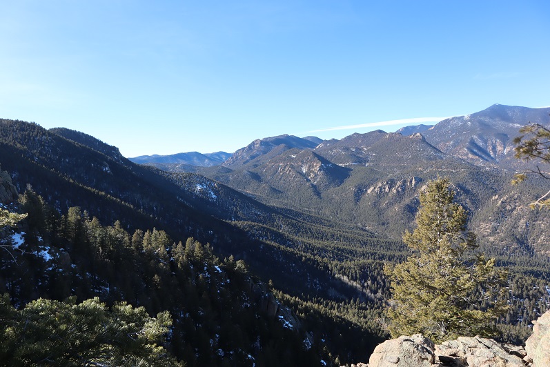
Check out the view from the observation area

Sassafras Mountain: 

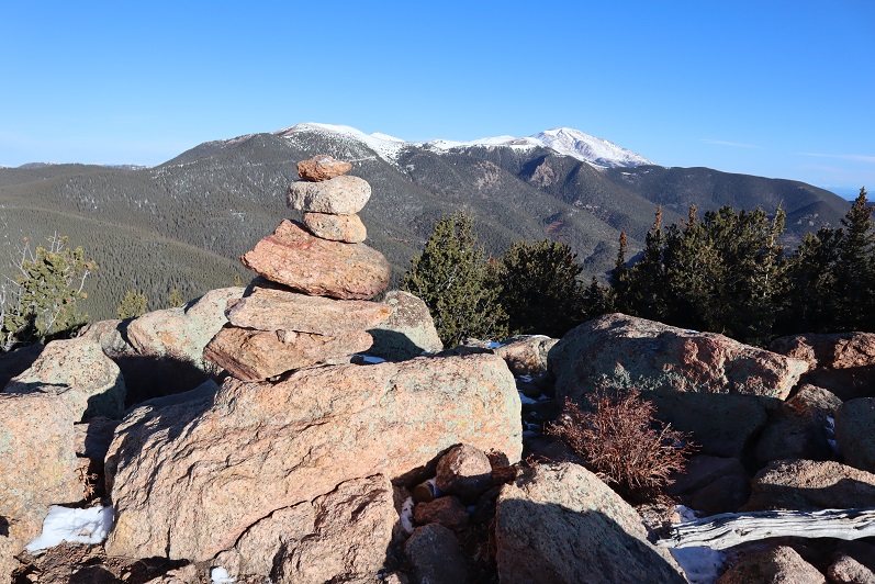
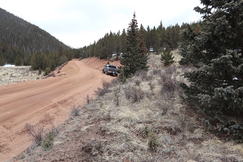
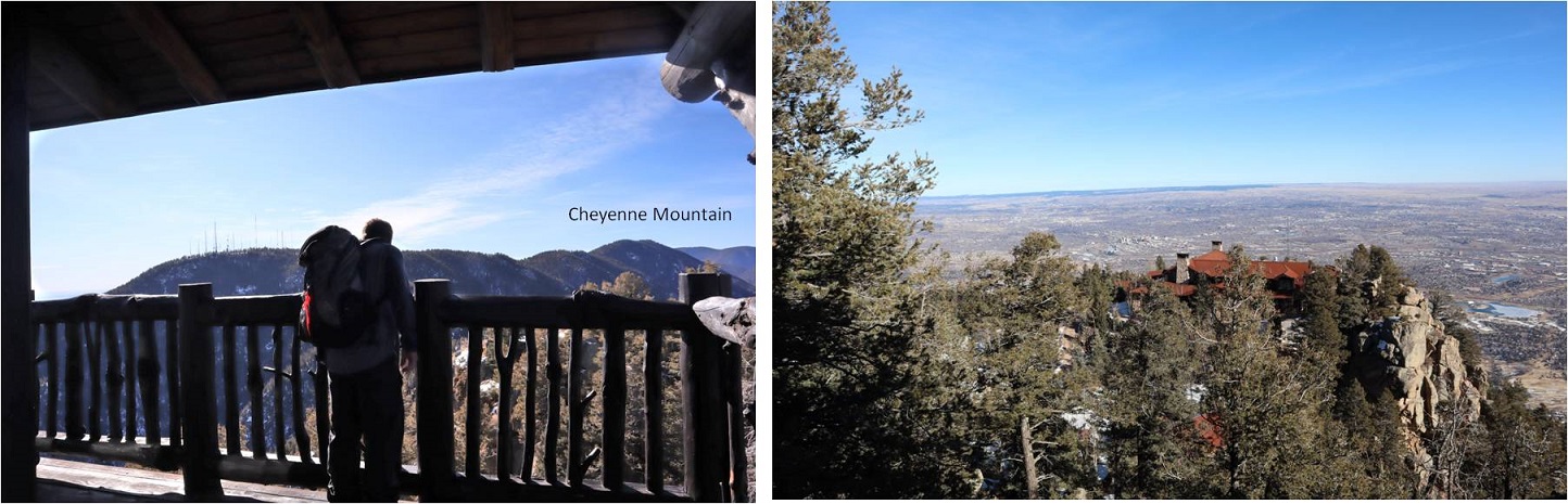
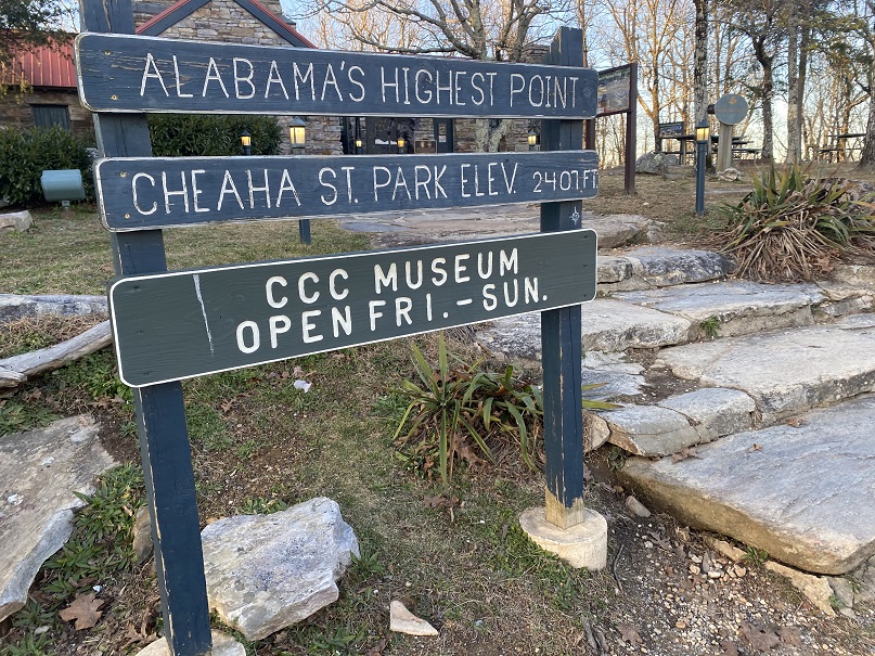
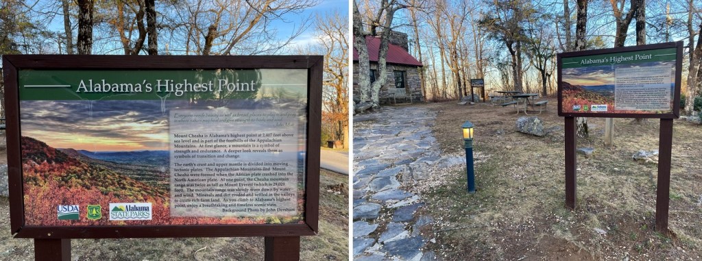
It was still early in the day, so we decided to drive over to visit the Alabama State Highpoint as well (Cheaha Mountain).  We ended up starting out the wrong way and heading back into South Carolina

But we quickly noticed our mistake and turned around.  After arriving at the State Park (which had people camping but no open bathrooms) we paid the entrance fee (the girl who took our money wasn’t wearing a COVID mask, and was a little rude) and drove to the observation area.  This was another nice observation area.

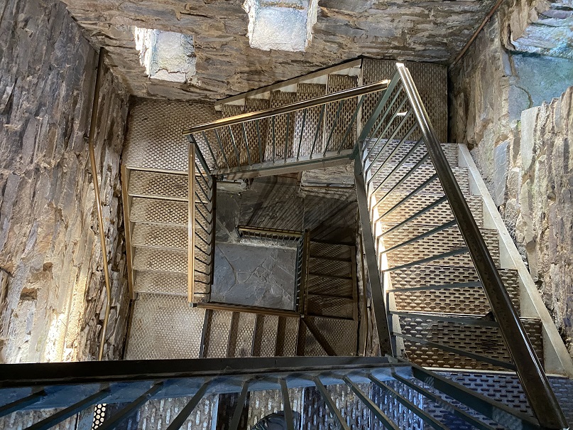
We were the only ones there, so we went inside and climbed the stairs

The stairs looked pretty cool on the way back down.

After doing some calculations we realized we had time to drive all the way to the beach and visit Florida’s highpoint tomorrow. We stopped to get gas and noticed Alabama doesn’t have a COVID mask mandate in place.  The town we drove through was sketchy, and I got some very negative looks from the locals when I wore a mask while getting gas.  The people giving me the looks looked to be members of street gangs, so we didn’t stay long.  We drove all the way to Chocktaw Beach and parked on the side of the road, backing the SUV in.  We were right next to the water, and I was excited to wake up to the sunrise the next morning.  We ate our dinner (drive thru taco-bell) and I jotted some notes down in my journal.  How cool was it we were sleeping on the beach tonight?  Sorry, no pictures of this, as it was dark.  In the end the sunrise wasn’t that spectacular and we forgot to take pictures, but it’s a memory I’ll never forget.

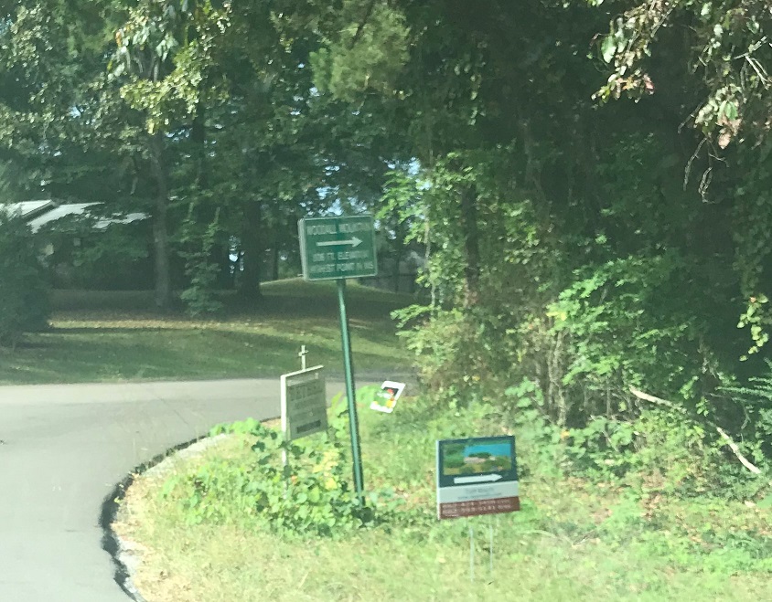
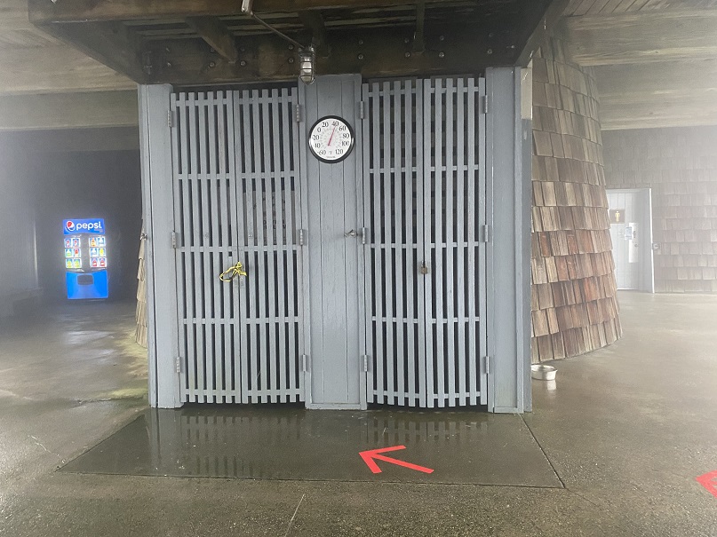
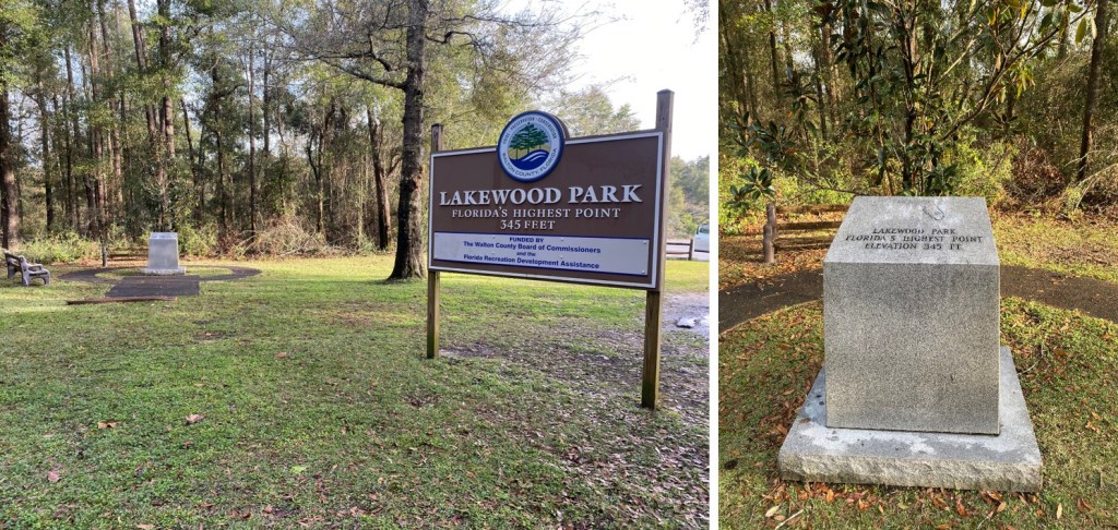
It was an hour from the beach to Britton Hill, Florida’s highest point.  At 345’ it’s not much of a highpoint.  In fact, it’s not even a valid peak.  The park was nice though (not the bathrooms, as they were quite filthy, but the park itself, Lakewood Park, was nice).

And now for the 5 hour drive back to ATL.  There was considerably less traffic as we made it back to Georgia

Some notes:

  • There was a lot of Christmas cheer in the form of holiday light displays
  • We passed no less than 500 Baptist churches
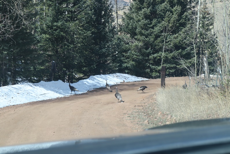
  • We saw a lot of deer
  • They close Blue Ridge Parkway in winter, even though they say they don’t
  • The cops in Alabama only have blue lights on their patrol cars
  • We didn’t see any wildlife except for deer (I was kind of expecting to see armadillos in FL)

Covid Peak – 11749 and Corona Peak – 11510

1
RT Length: 5 miles
Elevation Gain: 1654’

I know these peaks are NOT named Covid and Corona, but they don’t actually have names, and these seemed appropriate. Also, I don’t expect these to become permanent names, as I know naming a peak is a process.

The story of these peaks actually begins a few months ago, when I ordered a topper for my truck. I ordered this topper weeks before the stay at home orders, but due to the Coronavirus scare it was slow to arrive. Very slow. Finally, this week it came in and I was able to have it put on. I spent the next few days sprucing it up, adding a mattress, blankets, pillows, and storage containers with necessities (food, cooking gear, toiletries, etc.). I added the curtains and lights. I was pleased with the setup.

2

We made it to the spot we planned to spend the night early, and had elk sausage and baked potatoes for dinner, heated over a fire.

3

We found a grub in some firewood. I wanted to eat it, but it slipped into the fire…

4

We cleaned up and waited for the sun to set. And waited. And waited. Steffen dug out some rhyolite rocks with my ice axe and I just relaxed and waited for the sun to set.

5

But it just didn’t seem to want to set! I wanted to see the city lights before going to bed. It took me way too long to realize we’d be getting up in the dark anyways, and I’d see them soon enough. I decided to err on the side of sleep and see them in the morning.
Lessons learned during the night:
• 4 blankets/sleeping bags aren’t enough for 25* weather
• Wear a hat and jacket and gloves to bed
• The metal on the side of the truck is cold
• Set out everything you need for the morning before you go to bed (clothes, food, toothbrush, etc)

OK, so it wasn’t as warm as I’d anticipated, but that’s why we were doing this the first time close to home, to figure this kind of stuff out.

My alarm went off at 4:30am and I didn’t want to get up. It had snowed a bit overnight. I wasn’t warm, but I didn’t want to give up the covers either. Eventually the need to pee won and I got up. We decided to drive to the trailhead with the heater running in the truck and warm up, then have breakfast/coffee in the truck before heading out for our hike. Oh, and the lights were indeed beautiful!

6

We made it to the Mason Reservoir trailhead, parked, and made breakfast. We were on the trail by 6:30am. To be fair, the drive took us over an hour (Old Stage Road is in need of repair!!!)

7

We did not head towards the reservoir but instead went west

8

Crossing a creek and heading up the mountainside to the ridge

9

In the beginning it looked like there might actually be a trail, but we soon lost it in the snow

10

At the ridge we turned right (north) and followed the ridge to the end

11

The snow ranged from non existent to several feet deep. We were able to get away without using snowshoes all the way to the peak

12

We just kept aiming north, towards the peak

13

14

The summit of the peak wasn’t obvious. There was no summit register or cairn or anything indicating we were at a summit. I figured that was because this peak was so obscure. So we decided to leave a summit register and name Peak 11,749 Covid Peak.

15

We left the summit register where someone would find it and were on our way

16

We followed the ridge northwest down, immediately needing snowshoes

17

The snow was very deep and we were both glad we’d decided to take this hike in a clockwise direction: this would not have been fun to hike up! At one point we saw a well defined (but old) trench that was pretty large and looked like a human trench but weaved through the trees without breaking any branches. We realized it must be a trench from a large animal (thinking mountain lion, not bear). This area was very steep

18

At the bottom of the ridge we came to a marshy area and headed east towards our next peak

19

The marshy area had what looked like water gates

20

We crossed a dirt road, and then just headed northwest up the ridge

21

Snowshoes were needed here. We came across some recent orange flags and figured they would lead us up the peak. They led us about ¾ of the way, and then disappeared

22

The actual summit of this mountain was difficult to surmise. We weren’t sure if it was on the north end or the south end of the mountain, as both points looked equal. We hiked all the way to the south end and found this rock.

23

It felt like the highest point, so we climbed on top and I took a reading with my altimeter. It’s a serious class 5 climb, and we used the tree as leverage to get to the top.

24

Then we hiked back to the north side (about 1/10th of a mile away) and I took another reading with my altimeter. This point was anticlimactic and measured 10 feet higher. I was kind of disappointed the summit didn’t require a class 5 move, but it made the summit more attainable for everyone. There wasn’t a summit marker/register/cairn, etc. so we made one, naming 11,510 Corona Peak.

25

We left the summit register in the middle of a pile of snow at what was the highpoint

26

Making this a loop we set out again towards the south side of the mountain, passing the large boulder and heading down the south ridge towards the reservoir.

27

We made it back to the road and followed it around the reservoir

28

29

We found a frozen drain and Steffen had fun trying to break the ice with my ice axe

30

The road was easy to follow

31

There was a major cornice forming off the reservoir

32

We made it back to my truck without incident and headed back down the mountain.

33

Here’s the topo:

34

Oh, and that truck that was off the side of the road last week? It’s still there…

35

We were now on our way to Cow Mountain. This took us further down Old Stage Road, and through a tunnel.

36

37
Unfortunately, we met up with some unanticipated locked gates and private property, so we had to change our plans. Scott’s Ranch blocked our drive with a locked gate. On the positive side, we saw a flock of turkeys

38

Mt Rosa – 11,499 and Rain Benchmark – 11,310

1
RT Length: 6.5 miles
Elevation Gain: 2520’
Thinking this would be an easy hike I got up at 2am and worked out on the treadmill for a while before heading over to Steffens house at 4am. His truck is lifted and we wanted to see how it handled as compared to mine on the 4WD dirt road (pretty similar actually). We started from Frosty Park, the same place we began last week. Rain was predicted by 1pm so we wanted to be on the trail early. We started at 6am when it was just light enough not to need flashlights, crossing a fence and hiking east along a faint trail.

2

I was immediately a bit upset, as one of my microspikes had broken. I could still wear the spike, but the chain was loose and it made an irritating clanking sound every time my foot hit the ground. Mental note: get new spikes before my next hike.
We turned right onto trail 672 and began retrenching an old trench, following the mountainside and losing elevation as we went.

3

4

5

After 1.5 miles of hiking we turned right (south) onto 673 and encountered a lot of snow.

6

In some places an old trench was visible so we tried to follow that whenever possible, but at other times we just made a new trench. Snowshoes weren’t needed this early in the morning.

7

8

There was a windswept area

9

And then more snow.

10

Last time I summited Mt Rosa I summited from the south side (same trail at this point) but this time the trail wasn’t visible, so we just went straight up the north side of the mountain

11

12

The summit was windswept and clear.

13

We took a summit shot and stayed for a few minutes, since it was such a nice day

14

There was no summit register so we left one, and built up the summit cairn while we were at it.

15

Mt Rosa:

Heading back down was a breeze, as we just followed our previous tracks

16

17

18

19

20

Ok, time for the next peak. It takes so long to drive out here and the summits are so short it’s worth it to try to get multiple peaks in in a day. We drove back down 379, noticing there weren’t nearly as many people out as there had been last week. We only passed 1 vehicle, and last time we’d passed dozens.

21

Turned right onto Old Stage Road, we then followed the road for a few miles to 376, turned right again, and drove for 1.9 miles before parking on the side of the road.

22

We started out by bushwhacking east, following a gully up the mountainside.

23

This gully had more snow than we’d anticipated, so we stayed to the left of it. There was a little bit of snow here, and a lot of fallen trees.

24

We made it to about 10250’ and decided to cut across the mountain and head southeast towards the saddle. Once again, no trail, and lots of downed trees. We came across another gully that led towards the saddle and decided to mark our exit so we’d know how to make our way back. We found this cool root that looked like a bighorn sheep skull and used that to mark our place.

25

We continued east up the gully on what kind of looked like a trail

26

Things changed when we hit the saddle: snowshoes became necessary

27

We donned our snowshoes (thank you Steffen for fixing mine!) and started up the ridge that led to the summit.

28

The snow just seemed to get thicker and thicker the further we went, and several times I thought we’d need to turn back, but we just zig-zagged our tracks and kept pressing forward.

29

To the right of the snow is a rocky area. The summit is at the southwest point

30

31

And check this out: there was a summit marker AND two summit registers!

32

Unfortunately, the views of Pikes and Almagre were interrupted by trees

33

The clouds were forming quickly so we didn’t stay too long on the summit. The snow was helpful on our way back, as we just followed our tracks back to the saddle

34

And then we followed our makeshift bighorn sheep cairn across the mountainside and back down the gully. There was less snow here, and we were surprised every so often to find our tracks!

35

Following the first gully back down was easy: we just stayed to the right of the snow

36

This led us back to the road and Steffen’s truck.

37

Here are the topo maps for the hikes
Rosa:

38

Rain Benchmark:

39

I’m not quite sure on the time for this hike, and to be honest, I wasn’t really paying attention because about halfway back to Old Stage Road we were stopped due to a tow truck blocking the road.

40

We parked the truck and got out to see what was going on. Apparently someone was driving too fast on the dirt road last night; his truck launched and hit trees before going over the edge and landing in the creek. Check out how high those tree marks are!!! The driver was alone and miraculously unhurt. He spent the night in his vehicle and climbed for help this morning. We hadn’t come across him because we’d decided to hike Rosa first.

41
We sat and watched them try to remove the truck for about half an hour.

Eventually they decided their tow truck wasn’t large enough and they’d need to come back with a bigger vehicle. Stay safe out there driving my friends!

Almagre Mountain – 12,367 and South Almagre Mountain – 12,349

1

RT Length: 14.5 miles
Elevation Gain: 2936’

Oh, Old Stage Road, where the speed limit is 20mph but you can’t go above 5mph because the road is so full of potholes. Old Stage Road is a 2WD dirt road connecting Colorado Springs with Cripple Creek, and as of late is becoming increasingly difficult to drive. OK, not difficult if you drive slow, but then it takes forever! We made it to Old Stage Road at 5am and didn’t make it to the trailhead (Frosty Park) for over another hour. The last part (after turning onto 379) was very much 4WD, and fun to drive! There was snow and ice on the trail, and a few deep puddles to navigate.

2

Eventually I came to a place where there was a layer of snow/ice on the road that I didn’t want to navigate with my truck, so I parked a third of a mile before the trailhead and decided to walk the rest of the way. This was an easy walk along the 379 dirt road, and in fact, we stayed on 379 for 3.5 more miles

3

The road conditions varied greatly, but after the first mile snow was present along the entire route. The road followed the Ring the Peak Trail to Deer Park

4

At Deer Park we left the Ring the Peak trail and turned right onto 379A

5

We continued to follow the road, steadily gaining in elevation

6

Snowshoes would have been a good idea, but we were too stubborn to put them on.

7

After 5.25 miles we came to a locked gate and skirted around it

8

This brought us to the defunct Stratton Reservoir.

9
It’s hard to imagine this reservoir ever held much water. Almagre is to the north of the reservoir. Here’s the path we took

10

Stopping to get a shadowselfie on the reservoir

11
Following the road up to the saddle

12

13

And then heading northwest to the summit

14

There was a lot of wind here, and firm snow we were able to easily navigate with just microspikes

15

16

We summited at 9:40am to quite a bit of wind

17

18

There was no summit register, so we decided to leave one we’d brought, crouching down behind the solar panels to get out of the wind

19

The wind was a bitter cold so we didn’t stay long on the summit. We made our way back to the saddle

20

And got a good view of South Almagre Mountain (the microwave towers)

21

We headed back the way we came

22

And only stopped for a bit to re-apply sunscreen. Then we were starting the ascent of South Almagre. While we simply followed the road, the road was covered in snow/ice and was a bit tricky in places. I went first to kick in steps

23

The road didn’t look passable after the first set of switchbacks, so we decided to just head up this wall of snow and straight towards the microwave towers

24

25
As we neared the towers we heard talking, which was confusing since we’d made our own tracks and hadn’t seen anyone all day. Turns out there were some workers up in the towers adding connectivity and network bandwith due to increased demand during the Coronavirus.

26

They’d tried to take the road we hiked in but their vehicle wouldn’t make it, so they instead turned around and hiked in from Elk Park. This is the initial way I’d summited Almagre a few years ago.

Being at the top of South Almagre we weren’t sure if we were indeed at the highpoint. Looking directly east seemed to be just as high (or higher) than the point we were at now, so we decided to traverse over to this pile of rocks

27

While it was fun scrambling, our altimeter showed this area was actually 10 feet lower than the towers had been.

28

29

Satisfied, we decided to head back, following the route we’d come in

30
The snow section below the towers was a little steep, but we’d done a good job kicking in steps

31

32

We followed the road back to the gate

33

And with the increased temperatures were a little worried about avalanche danger here

34

We gingerly crossed this area, and as soon as we were confident we were out of avalanche danger we put on our snowshoes for the long slog back down through snow, ice, and mud.

35
The snow on the roads was now mush, and once we got further down we started seeing tire tracks

36

37

And more and more and more vehicles. I started to get worried we wouldn’t be able to drive out on this road because so many people were driving in.

We made it back to the truck at 2:30pm, making this a 14.5 mile hike with 2936’ of elevation gain in 8 hours. I have to say, the hike felt shorter with more elevation gain, but that may be because I was tired from my hike the day before.

38

I decided to follow a few vehicles back to Old Stage Road, and this ended up being a fabulous idea: There were dozens of vehicles in the half mile back to the road all trying to go the opposite way. I applaud them for social distancing and still getting outdoors!

39

Tuckaway Mountain – 10,820

1
RT Length: 12.5 miles
Elevation Gain: 4220’
Partner: Steffen

Third time’s a charm! For so many reasons…

I’ve attempted this peak on 2 other occasions. One time a few years ago I thought I’d summited (more on that later) and last week I turned around due to deteriorating snow conditions. Today I’m glad to say I had a successful summit!

I drove to Steffen’s house at 4:30am and we made it to the North Cheyenne Mountain gate by 5am, but unfortunately, the gate was locked. I guess it didn’t open until 6am? Oh well, we had a plan B, so we drive down Old Stage road for about 45 minutes, intent on Frosty’s Park and hiking Mt Rosa or Almaghre (or both). About 5 minutes from making it to the trailhead Steffen realized he’d forgotten his hiking boots. Drat! We would have to drive back and get them. As I said, third times a charm, and we arrived at the (now open) North Cheyenne Canyon Trailhead at 7am and were on the trail by 7:20am. It was already light out and I had serious doubts we’d summit today due to warm snow, but at least we’d get in a good hike.

2
We wore our microspikes the entire way, even though they weren’t always needed. I’ve done this hike several times, so I won’t go into a detailed description of the route to Loud’s Cabin, but you can find it here

I basically took the 7 Bridges Trail (622) to 677 to 622A to Loud’s Cabin. Here are the pictures:

3

4

5

6

7

8

9

10

11

12

13

Along the way we saw some curious tracks in the snow. They were about 5-6 inches long and distanced about a foot to a foot and a half apart. It took us a while to figure out they were turkey tracks. It would have been much cooler had they been emu or velociraptor tracks or something, as they seemed too big to be turkey tracks…

14

Once at Loud’s Cabin things once again got tricky. I’d made a GPX file from CalTopo with the way we were supposed to go, but the trails were no longer there. We decided to ascend the hill above the cabin and head west. It became apparent almost immediately we were on the wrong ‘trail’ but we were on a trail and headed in the right direction and felt committed… until it ended.

15

I noticed a few cairns so we followed them for a bit until they ended as well. I’m guessing the cairns were indicating an alternate route up Mt Garfield.

16

We weren’t interested in hiking Mt Garfield today, so we left the cairns and aimed northwest along the side of the mountain, making our own trail as we went. This included some fun scrambling over rocks and fallen logs. Be careful: those rocks and logs move!

17

Also, here we saw the first near tracks of the season! I’m thinking mama and cub

18

We had great views of Tuckaway when the trees cleared (which wasn’t that often). The frustrating part? We didn’t seem to be getting any closer. In fact, it felt like the mountain was always in the same place (well, it was, but we weren’t making much progress).

19

This was our view of Tuckaway most of the time

20

Finally we made it to the top of a rock formation at about 10,400’

21

Here’s the view looking back at the way we’d circled Mt Garfield

22

And a look at the route before us towards Tuckaway

23

There were tons of ways we could have traversed over to Tuckaway, and we actually went back and forth while we were hiking as to the best way: there’s snow you cannot see in a lot of areas that would make certain routes lousy. We’d initially wanted to just hike across the ridge, but instead this is the path we took:

24

I got a picture because the view was great

25

And we were off, deciding to initially descend this spot to the north (where we came across a mine not listed on the map), and then head west down some snow covered boulders. The scree here was really soft and felt a bit like quicksand.

26

27

There are no great pictures here, as we were just in the trees headed towards the saddle just before Tuckaway. When we reached the saddle it was time to don our snowshoes. We trenched a trail from the saddle to the west and came across my tracks from last week.

28

My tracks eventually ended and we had a time sinking up to our waist in the soft snow, but we were stubborn and took turns trenching: we could see the blue skies above indicating a ridge and were determined to summit today

29
We made it to the ridge and to our immediate left was a cairn. This is where I’d stopped a few years ago, thinking this must be the summit (cairns like this usually indicate a summit).

30
It certainly looked/felt like the summit, and indeed, from here you cannot see a higher spot. However, I’d had someone (not so nicely) comment on my blog that I hadn’t reached the true summit; that it was in fact further to the west. So today I was here (again) to see if he was right. We decided to follow the ridge west, through several feet of snow (I love snowshoes!!!) gaining and losing elevation as we went.

31

After about 2/10ths of a mile we came to a point I wasn’t convinced was higher than where we’d been before but was definitely the spot I’d seen in other one person’s picture as the summit. There was no summit register here either and no cairn indicating a summit.

32

We decided to climb the rock, which took careful footing and a leap of faith. Here’s Steffen heading back

Here is my summit photo

33

And some of the amazing views from on top of the rock

34

We took a summit selfie

35

And I got another shot of the way back down

36

Side note: As I said earlier, I wasn’t convinced this point was any higher than the point we were at before, so once I got home I put the route up on CalTopo. It showed the second point was indeed 3 feet higher than the first, but I hadn’t climbed to the top of the first rock like I had the second. In other words, I think both places are of similar height, and in fact, while the rock was difficult to climb I’d say the route I took the first time was more challenging than the one I took today. In any event, either way, we summited because we made it to both points. I think either point should count on its own.
We decided to descend the way I’d trekked last week, and followed our snow tracks to the saddle

37

38

39

And back down the gully to the trail I took last time.

40
What’s frustrating here is the trail that’s on ALL the maps, GPX files, etc. is a trail the forest service doesn’t want you to take. They’ve made it extremely difficult to follow because they don’t want people hiking there. They’ve essentially tried to close this trial.

41

I totally get this, but the problem is they haven’t established new trails/produced proper GPX files, etc. of new routes. This is the best they give, which is a poor excuse for a map and doesn’t include topographic features or mountain names. It’s like they want you to get lost

42

I’ve been in this area several times and their new trails are terrible and are meant for dirt bikes, not hikers. It’s really frustrating: I’d set out today to follow proper (new) trails and provide a GPX file for others interested but was unable to do so due to lack of information. In my topo picture at the end it shows I followed the trail on my return, but that’s the one they’ve blocked off, so it isn’t actually a trail. IT was however, my safest option.
We encountered a lot of snow on the trail on the way back, and instead of complaining about how we kept on postholing we decided to make it fun. Here’s Steffen trying to get across the snow without sinking by running fast (spoiler alert: that doesn’t work)

43

44

We made it back to just below Loud’s Cabin, linked back up with Trail 667, and followed it back to the parking lot

45

46

47

48

We were surprised to find when we made it back to the lot that it was overflowing with cars!

49

What was disturbing was about a third of these vehicles were from out of state. We’re supposed to be staying home and hiking only in our respective county, and I’m doing my best to abide by those rules (before they get worse). It was extremely frustrating to see so many out of state cars, and they just kept going and going and going: the lot was overflowing and cars were parked along the side of the road for miles as we exited. There were more cars here than I’ve ever seen in the summer. It must be Spring Break in other states and they’ve decided to still take their vacations.
We made it back to the truck at 3:30pm, making this a 12.5 mile hike with 4220’ of elevation gain in about 8 hours. It was a perfect day to go hiking!!! I’m so glad we got out and got some fresh air!

50

Highpointing: WV, MD, PA, DE, & Washington DC

1

4861’ – Spruce Knob, West Virginia
3662’ – Backbone Mountain, West Virginia
3360’ – Hoye Crest, Maryland
3213’ – Mt Davis, Pennsylvania
445’ – Ebright Azimuth, Delaware
415’ – Point Reno, Washington DC

It’s been a while, but that doesn’t mean I haven’t been out hiking. I’ve had several failed attempts (due to the partner I was with or the forecast conditions being off… and one failed summit was due to an area that had too much avalanche activity for me to feel safe).
This trip had been planned for a while; we were going to arrive 2 days before the conference, drive around and hit a bunch of highpoints before the conference began, and then during the day I’d be at work and Steffen would see Washington DC (I’ve been there several times and didn’t feel I’d be missing out). At the last minute my organization cancelled the conference due to the Coronavirus.
I cancelled our flights, and as I was doing so Steffen asked what the cost was now that everyone was cancelling. Hmmmm. I looked it up: $45 to fly to Washington DC. We were intrigued. I’ve never seen a fare to Washington DC so low, especially during the Cherry Blossom Festival and Spring Break. We discussed the pros and cons of travelling right now. To be fair, there were a lot more cons than pros. We figured the plane would be pretty empty, and I checked out DIA’s policies and changes due to the Coronavirus. My main concern was social distancing and not interacting with other people. In the end we decided to book the flights, but not a hotel room: We’d rent a car and drive and sleep in the car, limiting our exposure to others.
Our flight left at 5am from Denver. Side note: on our way up to DIA someone was stalled in the right lane in the GAP project, and I was very, very close to hitting them. In my defense it was dark and there are no lights in this section, but it was super scary to be inches from hitting him, and the same with the semi behind me.
We parked at The Parking Spot and took the shuttle to DIA. We were the only ones on the shuttle except for the driver. She was very nice so I double tipped her (I’m sure she relies on tips and the lack of travelers must be hitting her hard). The airport was almost empty. There was no one in line at security and we breezed right through. Everyone was practicing social distancing, from standing in line waiting for the trains to sitting in chairs at the terminals.

2

3

There were only 15 people on our plane, so social distancing here was pretty easy.

4

5

The flight attendants were overly nice and kept asking us if we needed anything. They were only allowed to give out water and snacks (no other beverages) and the water came in a can? The pilot came on and thanked us all for flying, and asked us to let our friends know they’re still open.

6

Social distancing was again easy as the shuttle driver left as soon as we boarded so we were the only ones on the shuttle. So far, this trip was a total social distancing success! We picked up our rental car after a slight mishap (we took one in row 2 instead of row 3 and had to return it). It had a bunch of bird droppings on the side and it smelled a little like cigarette smoke, but we were ready to roll!

7

Our first stop? Walmart to pick up food so we wouldn’t need to go inside gas stations, etc. We were taken aback at how fully stocked the shelves were and how no one seemed too concerned about things like toilet paper. Wow! Nothing like Colorado Springs, where we’re all out!

8

Peanut butter, jelly, cheese and crackers later we were finally ready to start highpointing. Our first stop was Spruce Knob, West Virginia. This was an easy drive up to the trailhead on a paved road

9

10

Even the cars were social distancing

11

We hiked less than a quarter of a mile on a well maintained dirt path to a tower.

12

13

14

We didn’t see a summit marker, so we decided to climb the tower. No summit marker there either, but it sure was windy!

We headed back down and searched for a bit and finally found the summit marker (in the dirt)

15

16

We hiked back to the car and were on our way to the next highpoint: Backbone Mountain. Turns out we had directions to the WRONG Backbone Mountain, but it was still a highpoint (in West Virginia, not Maryland). We drove up a sketchy road littered with fallen trees
17

And parked at this abandoned building.

18

We went around this fence

19

This is what the summit looked like

20

21

Can you believe it? We actually found a summit marker at this place!

23

24
But it clearly wasn’t the right one. I pulled up my Peakbagger app and realized we were almost 8 miles away from the correct Backbone Mountain (this was Backbone Mountain WV, not MD), so we got back in the car and drove north.
We were unable to locate the correct trailhead, so we decided to hike the dirt road… until it passed right through some houses where people were eating their dinner and could obviously see our flashlights out their windows. This was private property and we were obviously trespassing so we retreated back to the car.

25
We sat there and pulled up a GPS track from AllTrails and saw we were close to the actual trail, about a quarter mile or so. So we decided to bushwhack through the trees until we made it to the trail
26
Success! Once on the trail is was an easy trek to the highpoint

27

We weren’t able to find the summit marker, but it was obvious we were there

28

Steffen signed the trail register and we were off, bushwhacking again through the forest.

29

All I could think about were ticks: we were not following a trail and were constantly pushing branches (etc) away from us as we went. I just kept telling myself it was too early for them to be out. Right? I should probably be more concerned about Poison Oak/Ivy…

Next up was the Pennsylvania Highpoint. This one took us through Amish Country. We could tell because the houses had no lights and there was laundry hanging from the front porches. Tons of laundry, and all white. We drove in and out of the fog to a parking lot with this sign

30

It was colder than we’d anticipated, so after parking we quickly followed the trail about a quarter mile to the overlook, which we assumed was the highpoint.

31

We climbed up and down the frozen metal, realized there was no view at night and started looking for a summit marker. We found plaques and a highpointing bench

32

And eventually realized the summit marker was on top of this rock

33

I climbed on top and got a picture for good measure, and we booked it back in the cold to the car.

34

When we got there my phone dinged and I had a message from the airline, telling me our flight was cancelled and to rebook. Argh! I called and my wait time was about 2 hours to speak with a representative, so we went online and found another flight. It left earlier than we wanted but it was a flight home, and we figured that should be our first priority at this point. We did some math and realized we no longer had time to hit the New Jersey Highpoint, but we could still drive to the Delaware one.
So we did, and it was quite anticlimactic:

35

It looked like they cut out the sidewalk for the marker. To be fair, it’s a pretty low highpoint… 455’

36

37

Next we were off to Point Reno. I’ve already been to this one so I knew exactly where to look for the summit marker (it’s a bit hidden, sandwiched between a middle and high school)

38

What to do now? Our flight didn’t leave until 4pm and it was only 7am. We decided to go find some coffee. I had several Starbucks cards with me I intended to use. However, when we got there we discovered they were closed. Bummer!

39

Steffen had never been to Washington DC before, so I decided to be his tour guide. I’ve been here many times and took him to all the best sites. There were tons of people outside, all social distancing together. I LOVE when the cherry blossoms are in bloom (I even bought a cherry tree and pink magnolia once to remind me of them) and I was so glad he got to experience this. Here are some highlights:

40

41

43

44

45

46

47

48

When our touring was done we were tired, so we drove to a Walmart parking lot and decided to get a few hours sleep before our flight. Note: at this Walmart everyone was wearing masks, and not surgical masks, but full on gas masks. It seemed a bit overkill. I set my alarm for right before we needed to leave for the airport and we both fell asleep in the front seats of the car. When my alarm went off I glanced at my phone and noticed I’d received a notification 20 minutes ago stating our flight was cancelled. Oh no! Time for damage control! Steffen drove me to the (abandoned) airport and I went straight to the ticket counter. Now I was worried we weren’t going to get a flight home, since they kept cancelling them. (No worries seriously though: we had a rental car and could have driven home if necessary). I politely asked what we should do, and was informed since we were at an international airport and international flights had been cancelled our best option was to go through Regan National instead. He booked us a flight leaving at 5:20pm out of Reagan, and gave us each $200 vouchers to use at a later date. Nice! That’s more than we spend on this entire trip! We drove to Regan National, returned the rental car (and gave the lady checking us in a box of Girl Scout cookies). There were more people here than at Dulles, but it was still pretty sparse, and everyone was maintaining proper distance. Even the restaurants only let people sit at every 4th seat.
We once again got canned water and snacks on this flight, which brought us to Houston. There was a restaurant open in the terminal and we were starving so we decided to check it out: Papas Burgers. They were also expensive so we shared a burger and fries (this worked since I really only wanted the fries and Steffen didn’t want fries). Steffen insisted I try the burger, and let me tell you: this was the best hamburger I’ve ever had! The fries were pretty amazing too. They maintained social distance here as well, closing the restaurant once 1/3 of the seats were full so we could all maintain social distance.
We breathed a sigh of relief when we took off towards Denver. Once again we had canned water and snacks, and this time got to watch a thunderstorm from our seats!

49

Ok, gross alert: halfway back to Denver I felt a bump on my neck. I was worried it was a new mole (this is valid, as I’m quite moley) and pulled at it. It didn’t budge, so I dug my nails in and pulled harder. It came out, and what I expected to be a mole ended up being a tick! Yuck! I’m pretty sure I got it while we were bushwhacking though the woods of Maryland/West Virginia. I was not happy with this, but I was glad I’d gotten it out. Now I just need to wait a few days for the head to come out…
In the end, I’m very, very glad we took this trip. I don’t plan on travelling again until this whole Coronavirus thing blows over, but I have no regrets, and I’m really glad we decided to go anyway while doing our best to stay safe.

PT 10245

1

RT Length – 14.15 miles

Elevation Gain – 4000′

Time – 7 hours

After our misguided attempt at PT 10245 a few weeks ago we really wanted to summit this peak asap, but the weather wasn’t cooperating and my cookie deliveries kept getting in the way. Finally, today seemed like a good day to try it again.

We arrived at the Barr Trail parking lot at 5:30am and were on the trail by 5:45am. The parking situation is the same as last time: $10 via card at the kiosk.

2

From the beginning microspikes were necessary. We kept them on for the entire hike.

3

The creek just after the Barr Trail / Incline turnoff was flowing nicely

4

The ‘cave’ had some snow

5

Just before the experimental forest, where the path was all ice 2 weeks ago it was now covered in several inches of snow and nicely trenched. This made it much easier to navigate.

6

We turned left at the experimental forest and continued along the well trenched Barr trail.

7

Past mile marker 5.5

8

Here’s where we messed up last time: We had gone all the way to Barr Camp (6.5 miles) and at the advice of the guy staffing Barr Camp took the trail just after Barr Camp, ending up at AdAmAn Peak instead of PT 10245. To be fair, the routes are strikingly similar, and while AdAmAn is unranked, it is taller than 10245 at 10405′. This time we were prepared and looked for trail 671, which is about a mile before Barr Camp. This is where we found it:

9

I’m sure there’s an actual trail here, but today it was covered in snow and not detectable. We put on our snowshoes and got ready to trench. At the above sign we left the Barr Trail and headed right (north), trenching our own trail, skirting the rock formation to the left

10

and heading down a small hill, losing about 200 feet of elevation before coming to a creek and turning left (northwest).

11

Here I was able to pick up the trail again anf followed it around the creek. Please note, this was NOT South Fork French Creek, but a willow filled off shoot.

12

13

14

We followed the ‘trail’ until it seemed to end. We were just about parallel with AdAmAn peak at this point. Here we turned right (northeast) and could see PT 10245

15

We were going to have to cross an aspen grove to get to the peak. When we were right in the thick of it Steffen said: “This looks like the type of place you’d see a moose” and about 2 steps later we saw evidence a moose had spent the night here. In fact, on our way back we saw moose tracks going over/through our trench, so we must have scared him/her away with our approach.

16

Once past the aspen grove we were in the willows. I’m pretty sure this is where we crossed French Creek, but it was frozen and covered with snow so all we saw was a marshy area. Trenching here wasn’t fun: I sank up to my thighs several times. Here’s the path we took through the trees to the summit

17

There were large boulders everywhere, and a band of boulder piles to the right that weren’t climbable. Sticking center left of the mountain seemed to work well.

18

At several points we wanted to take off our snowshoes, but then we’d encounter snow that made us thankful we hadn’t. The summit was located to the left, at the mountain’s northernmost point. There was a cairn indicating the summit. We sumited at 9:50am

19

There were beautiful views of Pikes Peak, with AdAmAn Peak below (the pile of rocks in the center of the photo).

20

We took summit photos

21

22

and headed back down, solidifying our trench

23

back through the willows

24

and to Barr Trail, where we took off our snowshoes and continued our descent. The trench on the trail was indeed deep in places, and microspikes were still appreciated after the incline cutoff.

25

26

We made it back to my truck at 12:45pm, making this a 14.15 mile hike with 4000′ of elevation gain in 7 hours. I got a bunch of pictures on the way back, but unfortunately I’m still learning how to use my camera and it had been stuck on ‘program’ mode for the entire hike down, making my pictures all dark and fuzzy. We gave each other a high-five at the bottom, glad to be able to say we’d actually summited the correct peak this time. Check off another El Paso County Highpoint! Here’s a link to the GPX file, for those interested.

Screen Shot 2020-02-17 at 8.15.28 AM

Knights Peak – 10490, McKinley Peak (UR) – 10450, San Luis Peak – 10460, PT 10100 & PT 9410

1

RT Length: 10 miles

Elevation Gain: 4094’ (debatable?)

Time: 7 hours

Partner: Steffen

Another day of local highpointing! Today I’d wanted to hit 5 highpoints off Old Stage Road and Steffen volunteered to go with me to practice some routefinding below treeline.  It was snowing (lightly) when we made it to the first parking spot.  Actually, the drive took what seemed like forever because I was careful driving on the icy road.  I had to turn around a few times before finding a big enough space to park my truck while avoiding drifts and ended up parking a little ways further than I’d wanted to.

2

We donned our microspikes, left the snowshoes in the truck, and headed west along Old Stage Road. There isn’t a trail on this one (or if there is it was covered in snow) so we just walked up this slope and continued southeast up the ridge

3

Knight’s Peak, McKinley Peak, and San Luis Peak

There was snow here, and a lot of downed trees. I let Steffen route-find since he’s learning.  In places where I would have zig-zagged to avoid branches he just knocked down the ones in the way.  My bandana kept getting caught on branches (and eventually ripped in half).

4

About half way up the ridge we ran into an old set of tracks and decided to follow them up

5

The tracks led to a rock formation

6

This rock formation had a class 3/4 chimney we used a strategically placed log to climb. This part was unexpected and fun!

7

Looking down the chimney

8

From here we continued southeast towards the summit

9

The summit block had a rather fancy trail register

10

We didn’t sign the register, but we did climb up on the rock to make sure we tagged the high point.   From here we had a great view of our next objective:  Unranked McKinley Peak.  Here’s an overview of the route we took

11

Heading down from Knights Peak was fun! We passed some stashed firewood, which made no sense to us since this place was littered with fallen trees

12

We headed towards the saddle and then up the ridge. There were some neat rock formations here too.

13

Check out the view of Knights Peak! When you descend this peak be sure to stay to the north.

14

There’s a bit of a false summit to McKinley, but the actual summit isn’t that far away.

15

We went up these rocks

16

Skirted this rock formation to the right (south)

17

Carefully maneuvered our way up this ramp

18

And noticed the summit of San Luis Peak was to the right (east)

19

So we downclimbed the rock we were on to the left (west), skirted the large rock and re-climbed with a little scrambling back to the east

20

21

And headed towards the summit

22

This part was definitely class 3-4 climbing! It reminded me of the summit block on Sunlight in the Chicago Basin, but a bit longer

23

This part was challenging for me because it required taking off my gloves. The rocks were cold and covered in a thin layer of snow, so my fingers weren’t very useful.  I did summit however, and took some photos for fun.

24

25

Here’s looking back on the other two peaks we’d already summited this morning

26

Steffen headed down the summit block first. He wanted to climb the other tower, which we both agreed seemed to be about 10 feet lower than the summit of San Luis Peak

27

28

I slowly made my way down, being careful not to slip because there was no way to catch myself. Ropes would be a good idea on this part.  Helmets too.

We fixed the cairns (they were pointing towards the lower of the two spires)

29

And headed back down the rocks. Here’s the route we took, using the tree for added support.

30

Once again, there was no path down this mountain. We just zig-zagged our way down through the trees toward the road.  It was very steep, and I was glad we’d decided to take this way down instead of up.

31

We came across a cool cave that would make a great den. We didn’t see any tracks near here in the snow, so we assumed it was vacant

32

Steffen stopped to make a snow angel

33

And we exited the trees and followed the road back to my truck

34

Here we could have taken a short cut between the mountains back to my truck, but the snow was too deep. If we’d had snowshoes it wouldn’t have been a problem though

35

Our next peak was a little ways away, so after getting back to my truck we drove on Old Stage Road back the way we’d come and found a parking spot at the base of 10100.

36

10100

There was less snow here but we kept on our microspikes, not sure of what we’d encounter. The first part of this climb was steep and ascended through lots of brush and trees, both alive and dead

37

We angled slightly left up the mountain until we came to a rocky area. We rock hopped up the rocks

38

And came to rocks that were not climbable, so we skirted the formation to the left

39

And went up a small gully

40

We turned left at the top of the gully and followed the ridge to what we thought was the highpoint, but was really a false summit. From here we could see the true summit of 10100, more to the north of us.  We could also see increasing clouds.

41

It was a short hike over to the true summit. Here we found a summit register and Steffen signed it (I don’t usually sign them, but added my WW for good measure).

42

43

The wind picked up and snow flurries began, so we decided to head back to my truck. It was amazing how different the trail looked on the way back with no visual cues to help with route finding.  On the way in I’d kept looking back at the mountains to remember how to exit, yet now the snow was so enveloping it covered our earlier tracks and I was unable to see any mountains.

44

In the snow we had a little trouble finding the correct gully to descend, but eventually found it and made our way back to the road.

45

9410

With all this unexpected snow we debated our final peak of the day, but once we made it to the trailhead we decided to go for it. Peak 9410 is an easy hike on an established trail for 80% of the time, and a good introduction to easy route finding and peakbagging. We parked at the top of a hill at the trailhead for Gray Back Peak and headed southeast on a scree and snow filled trail.

46

This trail quickly became snow packed, but there was a nice trench to follow

47

We hiked it up past point 9153 and descended a bit, losing about 150 feet in elevation before regaining it and reaching the top of a hill. The trail continues south here towards Gray Back Peak, but we found this marker on a tree and left the trail, heading east.

48

Every so often we’d see a cairn or surveyors tape, letting us know we were on the right track. We headed east and once we reached the ridge northwest towards the summit

49

50

Once again, the summit views weren’t all that great due to the snow/clouds, but the short trek had totally been worth it.

51

We found a summit register but didn’t bother to sign it

52

And instead headed back down the mountain

53

54

And back to the truck

55

We made it back to my truck at 2:30pm, making this a 10 mile hike with 4094’ of elevation gain in 7 hours, with a couple of trailhead drives in the middle.

56

But those numbers are debatable. Steffen’s numbers were drastically different than mine.  We both used Strava to track our progress, and hiked the entire time together, yet his elevation gain read in the 5000’ range, while mine was in the low 4000’.  That doesn’t make a lot of sense.  Our mileage was off too, making me wonder what’s up with the disparities.  Have my numbers been artificially low, or are his high?

Cheyenne Mountain – 9565, The Horns – 9212 & Sugarloaf Mountain – 9633

1

RT Length: 10.5 miles

Elevation Gain: 4712’

Time: 6 hours 15 min

Partner: Steffen


With the weather iffy in the high country I decided to tackle one of my 2020 goals early: climb 3 El Paso County Highpoints.  Steffen is training to hike 14ers this year so I invited him to go along.  Before heading out I used Caltopo to make a route of the drive in, not being sure just how Old Stage Road would look this time of year.  It ended up being almost completely clear of snow.  I parked near the stables.

2

Cheyenne Mountain 9565’:

Just to clarify, we summited the highpoint of Cheyenne Mountain. There have been articles written and news posts stating the Dixon Trail goes to the top of Cheyenne Mountain:  It doesn’t.  The Dixon Trail goes through Cheyenne Mountain State Park and up the side of the east side of the Cheyenne Mountain range near the communication towers, but it doesn’t summit anything, and in fact if you were to go off trail and scramble to the top of Robbers Roost you’d still be over 100 feet shy and about a mile of bushwhacking away from the true summit of Cheyenne Mountain.  Here’s topo proof:  On the left is the true summit of Cheyenne Mountain, and on the right is where the Dixon Trail takes you.

3

In any event, at 6:30am it was 14 degrees outside when we donned our gear (microspikes) and headed east over a snow bank and up the mountainside, dipping about 200 feet before starting the ascent.

4

5

This hike was entirely below treeline with no distinct trail so we just aimed for the ridge and ascended the mountain on its west side. The ground had many dry spots but we tried to stick to the snow as much as possible so we’d see our footprints upon our return.

6

About three quarters of the way up the mountain we started running into cairns and surveyors tape, which was a nice surprise (until they stopped). We also found some bear scat that looked to be from last fall.  This seemed a good area to find a bear.

7
Once on the ridge we came across some mountain lion tracks that looked to be a few days old.  This area also seemed like a good place for a mountain lion to den, with a lot of large rocks and boulders to hide in.  We followed the ridge left (north) to the summit.

8

Once at the summit we found a summit marker! This was cool because it was totally unexpected.

9

Our summit views included Colorado Springs, Almagre with Pikes Peak, and The Spanish Peaks

10

Summit Picture

11

There was about 6 inches of snow on the ground towards the top so we followed our tracks back down the ridge

12

Cheyenne Mountain wasn’t our only goal for today, and after looking at a topo map we didn’t want to re-ascend the hill that led back to the parking area. We decided to traverse the north side of the mountain instead. There was more snow on the north side and we were frequently knee deep in powder

13

But after just a few minutes we came across the MacNeill trail, and check it out: it had tracks!

The Horns 9212’:

This was awesome! We just followed the class 1 trail as it curved northeast around the mountainside

14

It can be tempting at times to veer off trail, so be sure to stick to the side of the mountain. There were downed trees everywhere.  There is also a lot of up and down, meaning you’ll gain elevation on the way out as well.

15

We came across an old water pump and frozen waterfall/stream

16

There were broken pipes littering the trail from here just about up to the summit, as well as varying depths of snow. We kept our microspikes on.

17

We made it to the top of the ridge and now lost elevation as the trail continued on the east side of the mountain and then snaked back to the west side. Here’s where the tracks ended, but luckily the trail was still easy to follow.  There was more snow on the east side.

18

The trail snaked back around to the left (west side) and into an area filled with boulders. There was one spot that was tricky to pass due to the snow, but with the help of microspikes and trekking poles it wasn’t too bad. I didn’t touch the pipe.

19

We continued on the trail as it once again curved east around the mountainside

20

And came across a trail sign

21

We followed the trail towards what looked most likely to be the summit on top of a rocky area

22

23

We came across cabins, which I wasn’t prepared for. There wasn’t a camp on my topo map (Pikes Peak Atlas).  It didn’t look like anyone was at camp today so we continued on towards the highest point, which seemed to be up these stairs

24

At the top of the stairs was a large boulder and what looked to be a fire tower.

25

We climbed the boulder carefully (class 3) and looked around. It seemed this was the summit, so we took a few pictures.  There was a puddle of ice over what we assumed was the summit marker (if there was one?)

26

27

As we looked around it was unclear if we were at the true summit or if the rock about 15 meet away but near the cabin was the true summit, so we downclimbed and walked up the stairs of the fire tower. This was referred to as “The Horns” so it made sense there were two rocks.

28

The points looked to be about even, with the one on the north maybe just a little higher? It was here we noticed the security cameras.  There were many and although we weren’t doing anything wrong we decided to leave.  From the tower we could tell this place was bigger than we’d thought (later we realized this is “Cloud Camp” owned by the Broadmoor).

29

Time to head back down. The boulders here really look fun to climb/rappel.

30

We hiked along the MacNeill trail for a little ways and suddenly came across a small wooden gate in the middle of the trail. Why hadn’t we seen this before?  We walked around a bit and realized the gate had a sign that said “Trail Closed”

31

Whoops! Due to the switchbacks and amount of snow we’d never even seen the sign!  Check this out:  this is the way we hiked in, and the red circle is where the sign is located

32

As you can see, from the trail going to the summit the gate closure isn’t obvious, but on the way back down or from a different angle you can see it perfectly. In fact, you run into it.

33

I’m not sure about the legalities here, but it seems they don’t want the public highpointing on their property. They need to work on the placement of their signage if this is the case.  This was the only sign we saw.

We continued to head back down and got a good glimpse of the fire tower (a fire tower wasn’t on my topo either?)

34

There was also a good view of our way in/back out

35

And of Pikes Peak (etc). I had fun naming all of the summits from here…

36

On the way back we decided to follow the footprints on the trail instead of our tracks back the way we’d come (if we could avoid it we didn’t want to re-ascend the hill). This ended up being a great idea and in no time at all we could see Old Stage Road and my truck. This trail ended just where we’d began, it just went more north than east (the way we’d begun)

37

We made it to my truck at around 12:30pm, but our day wasn’t over yet.

Sugarloaf Mountain 9633’:

Without taking off our gear we drove further along Old Stage Road and parked directly at the base of Sugarloaf Mountain.

38

It looked like a quick hike to the top of this El Paso County Highpoint, so we headed off into the trees, starting at the surveyors tape tied around a pine.

39

If there was a trail here it was covered in snow, so we just trekked south, straight up the hillside. This area was steeper, covered in more snow, and more heavily treed than the other mountains had been today. Downed trees made the trek ‘fun’

40

When we were about 30 yards from the summit we came across a trail, which started from the opposite side of the mountain (south) and worked north. We hadn’t taken this established trail because I believed it started on Private Property (but couldn’t be sure).  In any event, I didn’t want to push my luck.

41

We came across a rocky area and a wiki-up

42

And quickly found ourselves at the summit. It had totally been worth adding the extra peak: In total it only added about a mile to the day.

43

There wasn’t a summit marker or registry, but we were sure we were at the summit.

44

45

We once again followed our tracks back down, Steffen aspen tipping along the way

46

We made it back down to my truck at 1:20pm, making this a 10.5 mile hike with 4712’ of elevation gain in just over 6 hours.

47

Mississippi Highpoint – Woodall Mountain – 806′

1

RT Length: 320 miles (by vehicle)

Elevation Gain: negligable

When work sends you to Nashville and you have 7 hours between appointments you go highpointing in Mississippi. I’d have loved to make it to the Tennessee or Alabama highpoints, but they were all out of my time range, so last week I made a reservation for a rental car pick-up that was thankfully half a mile from the hotel I was staying for work.

I was on the road by 7:20am, following google maps for guidance. One of the cool parts about driving to highpoints is taking county roads instead of interstate highways. I didn’t see a lot of people, but those I did were mowing their grass on riding lawn mowers. There were homes, barns, and vehicles in various states of decomposition. Moss covered stone walls marked boundary lines. I followed the Natchez Trace trail south, which was covered in overhanging trees.

2

I love traveling through the south! I passed through Tennessee and Alabama before entering Mississippi

3

This highpoint has a lot of good signage.

4

I turned off the main road onto a dirt road and was a little apprehensive with my rental vehicle, but it stays at 2WD the entire 2 miles to the top.

5

6

To my surprise, the road brought me all the way to the ‘summit’. There was a mailbox with a trail register (which needs to be replaced), a sign, a rock, a bench, and a summit marker.

7

There was no one else around so I took a ‘summit-selfie’

8

And a close up of the sign and summit marker

9

10

I’d been told this area was ‘a dump’ but it looks like it’s been cleaned up recently. Time to head back (it was 3 a hour drive which didn’t give me time to dawdle)

11

I got stuck behind a tractor for a bit, which was annoying, but par for the course, considering I was visiting the south. Also, I don’t think he realized I was behind him. It was frustrating because he drove in the middle of the road and I couldn’t pass him until he turned off the road onto a side street.

12

I google searched the nearest Starbucks, which was only 15 minutes out of the way in Alabama. This was perfect because I needed an Alabama state mug (I have the rest in the area, and I’m not a fan of their coffee). I was hoping to get an espresso mug, but settled for a coffee mug when they were out. I stopped by Subway for lunch.

On the drive back I swerved to avoid buzzards, armadillos, and small deer (the deer in the south are REALLY small). I made it back to my hotel at 3pm, in plenty of time for my 4pm meeting!