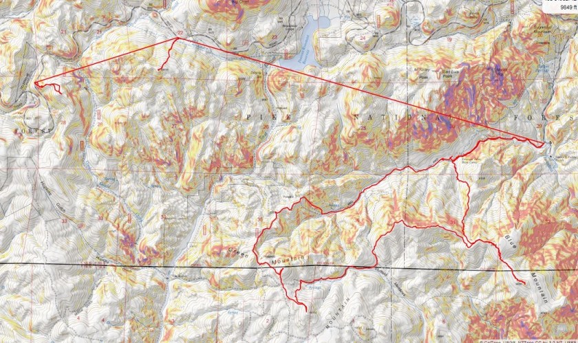
Rinker Peak (winter attempt)

1

RT Length: 6 miles

Elevation Gain: 1500’

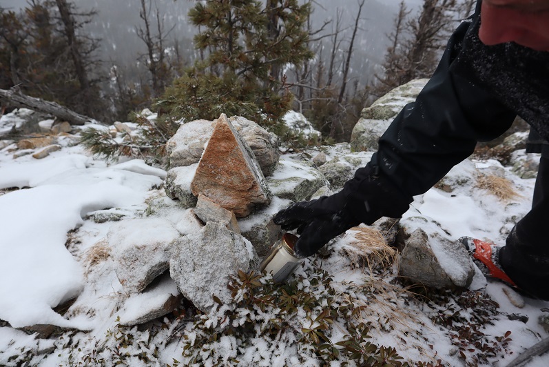
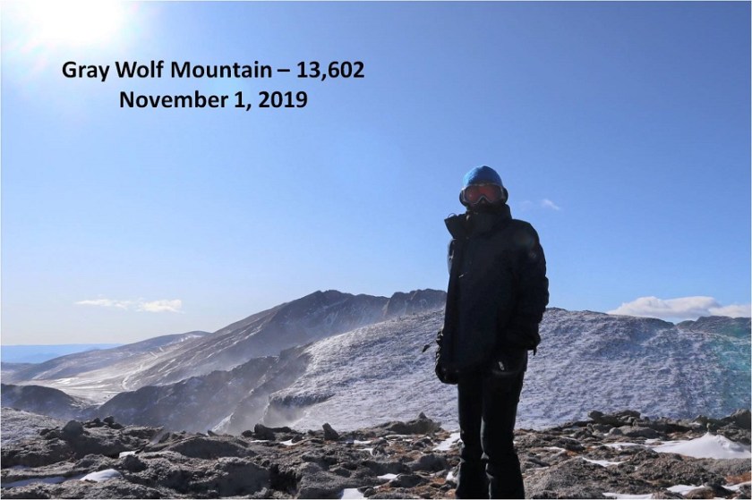
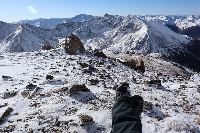
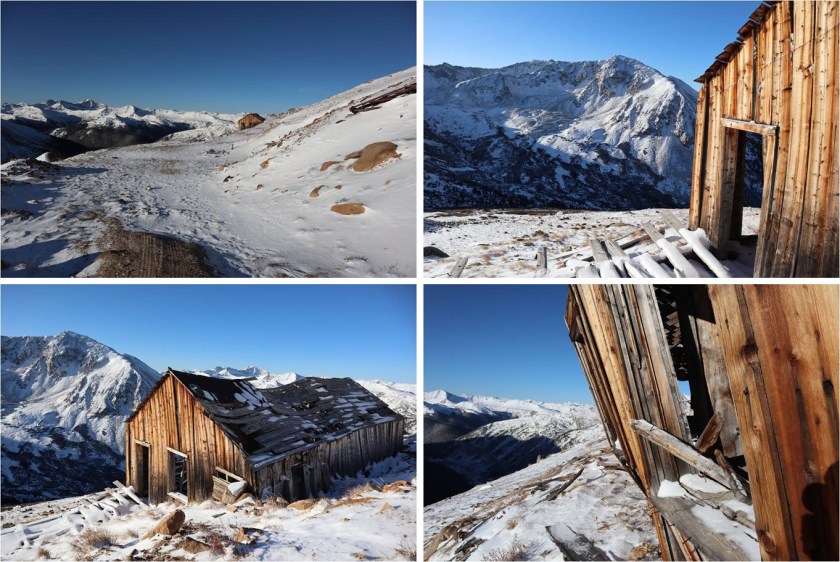
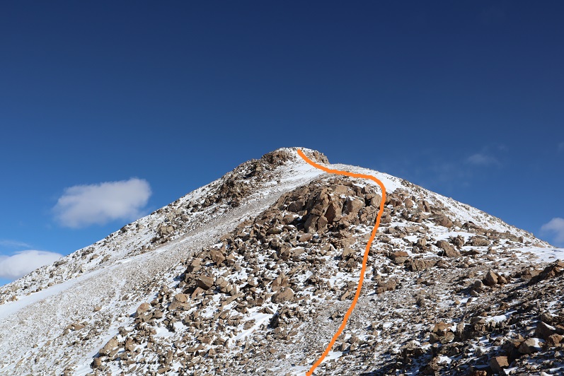
Note:  My successful summit of Rinker Peak can be found here.

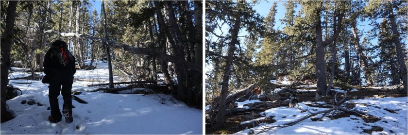
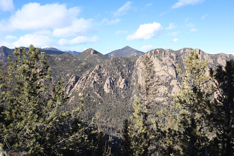
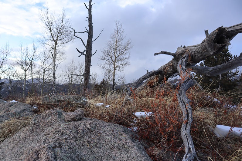
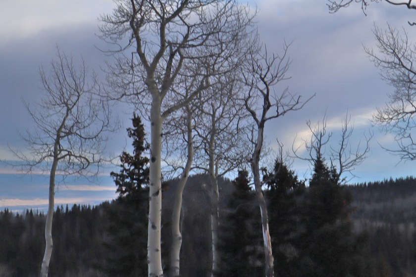
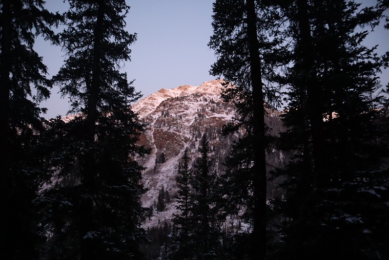
winter. That time of year when I should stick to the peaks below treeline but find myself tempted by good weather and attempting higher summits anyway.  Each time I go out I’m reminded there’s a lot I still don’t know.  Today was such an event.

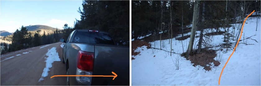
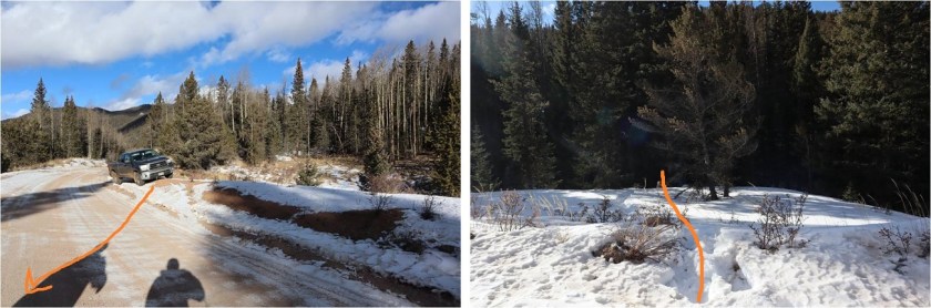
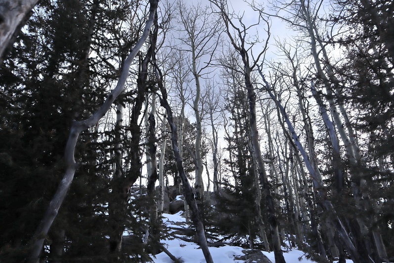
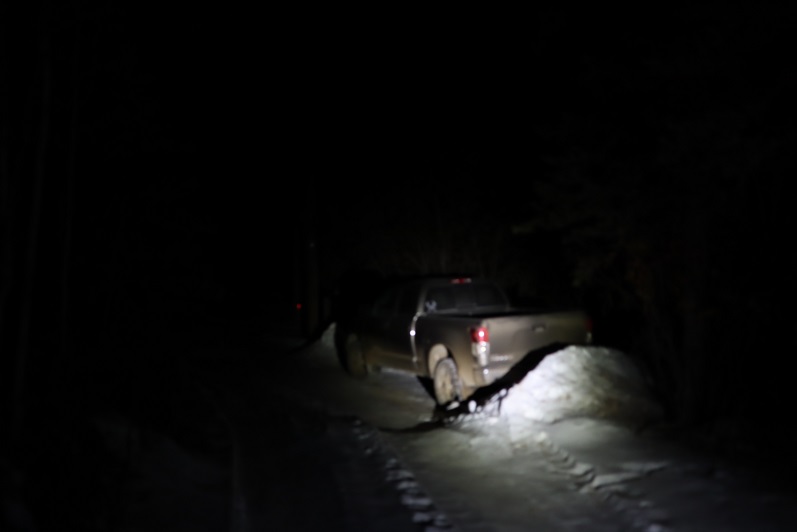
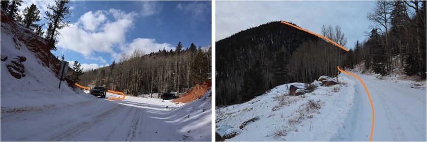
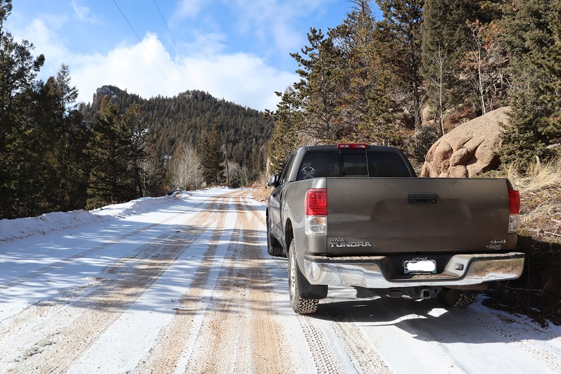
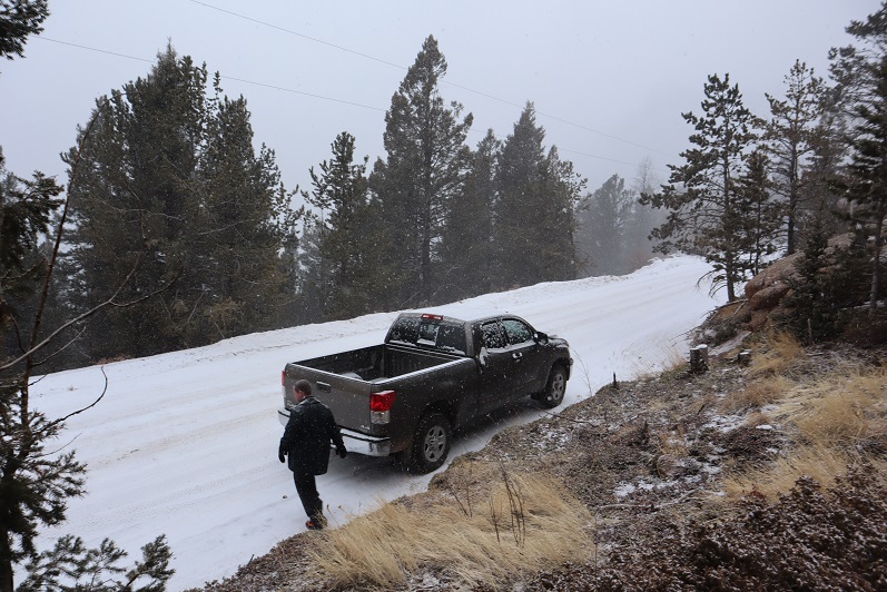
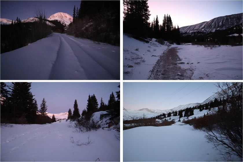
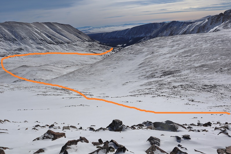
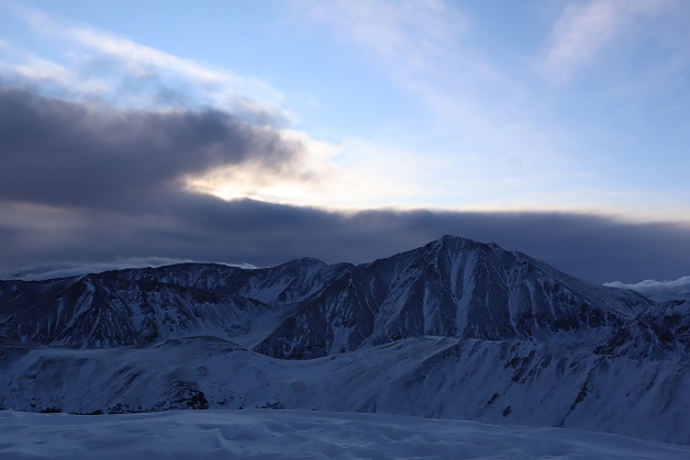
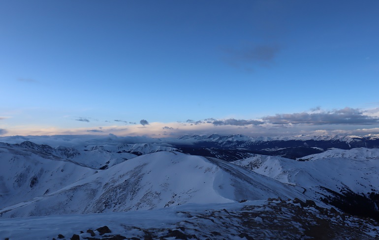
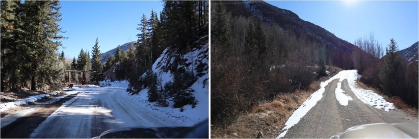
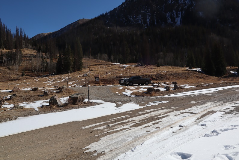
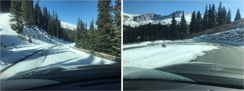
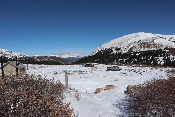
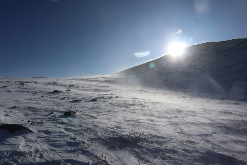
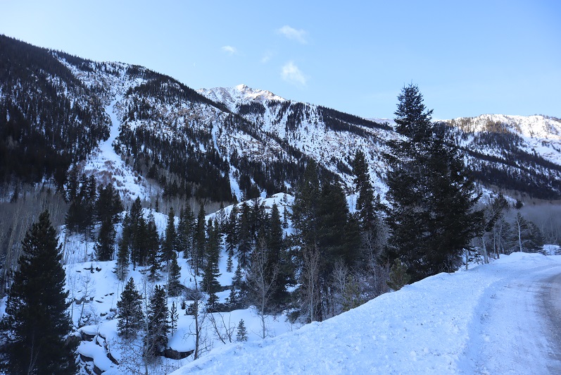
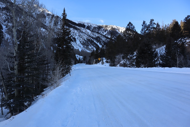
The weather was cold but the wind was forecasted to be nonexistent so I decided to attempt a ridge route. I picked the ridge with the best weather and made it to the trailhead while it was still dark.  Well, in actuality the Willis Gulch Trailhead was under several feet of snow so instead I parked along Highway 82.  It took me about half an hour of driving my truck back and forth along the side of the road, packing down the snow to make a parking space I felt comfortable getting out of on my return. I felt the time was well spent.

2

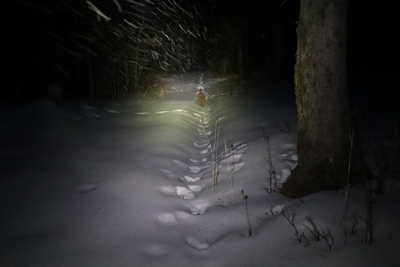
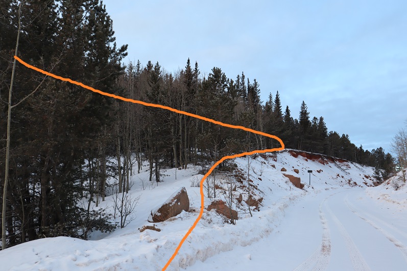
I put on my snowshoes and travelled a quarter mile down Highway 82 towards the trailhead. It was 9 degrees outside and I had on my new balaclava.  Brrrr!

3

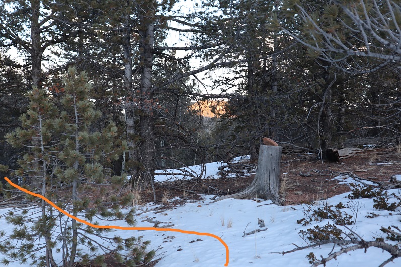
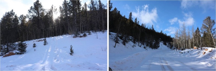
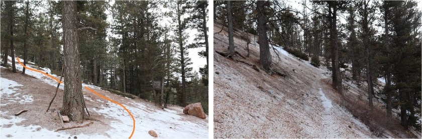
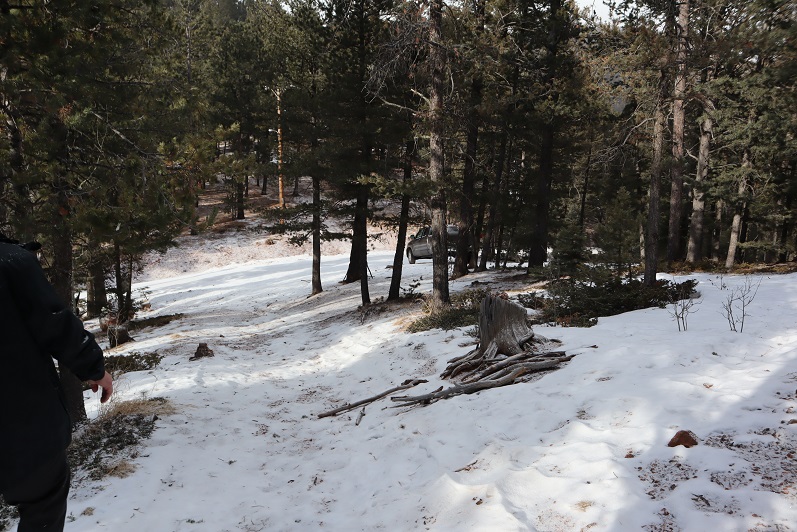
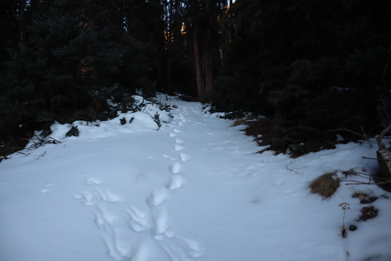
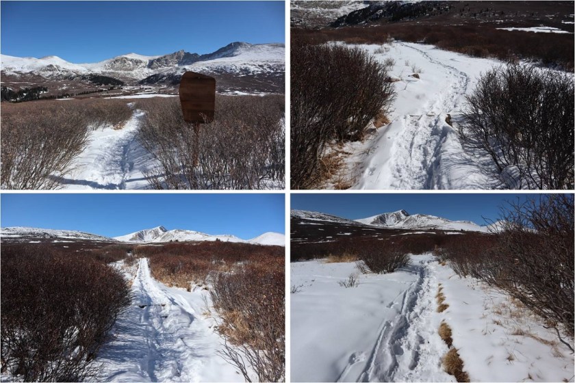
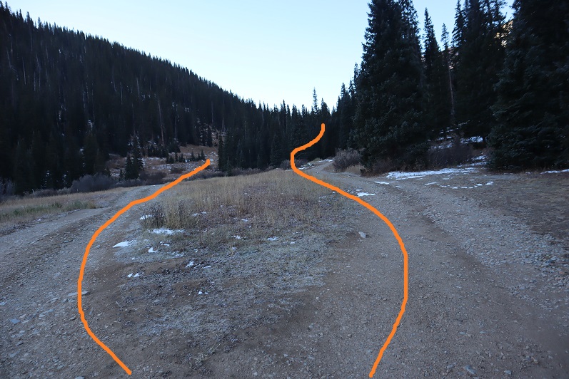
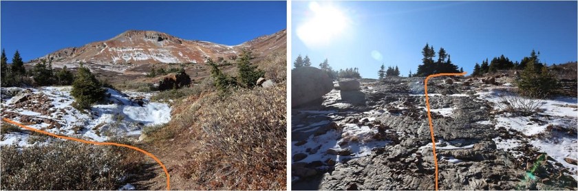
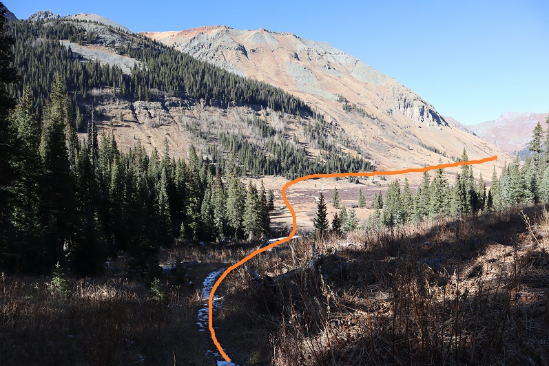
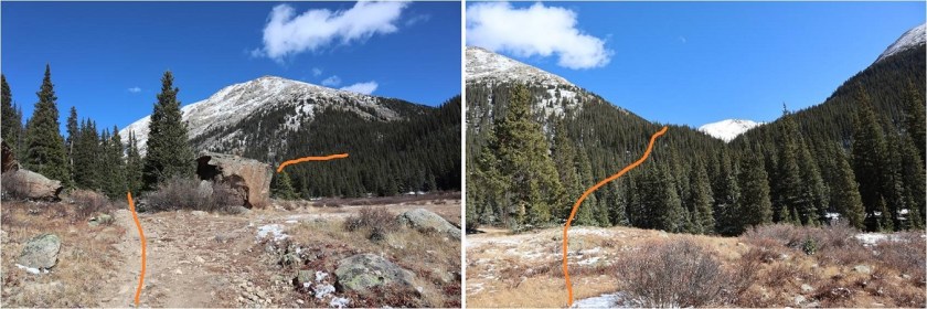
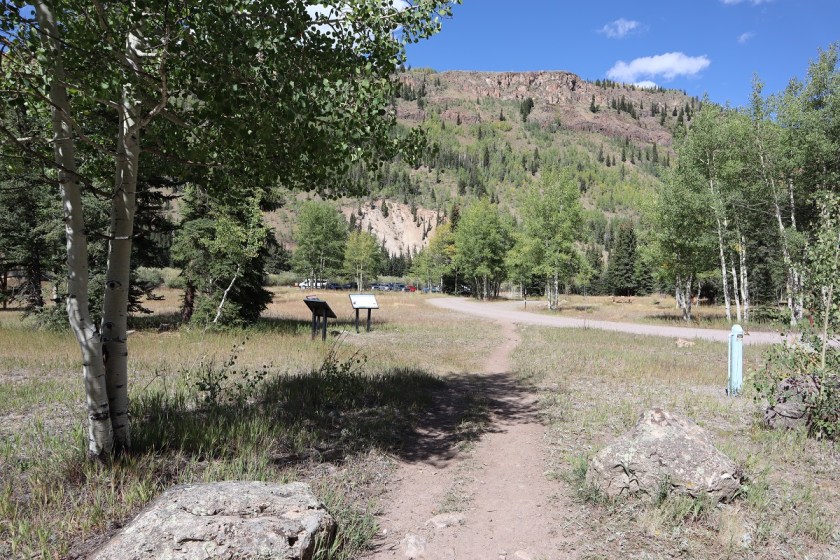
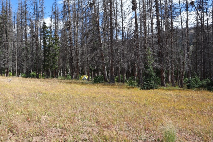
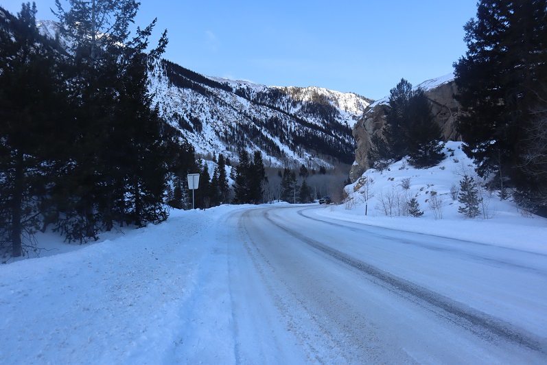
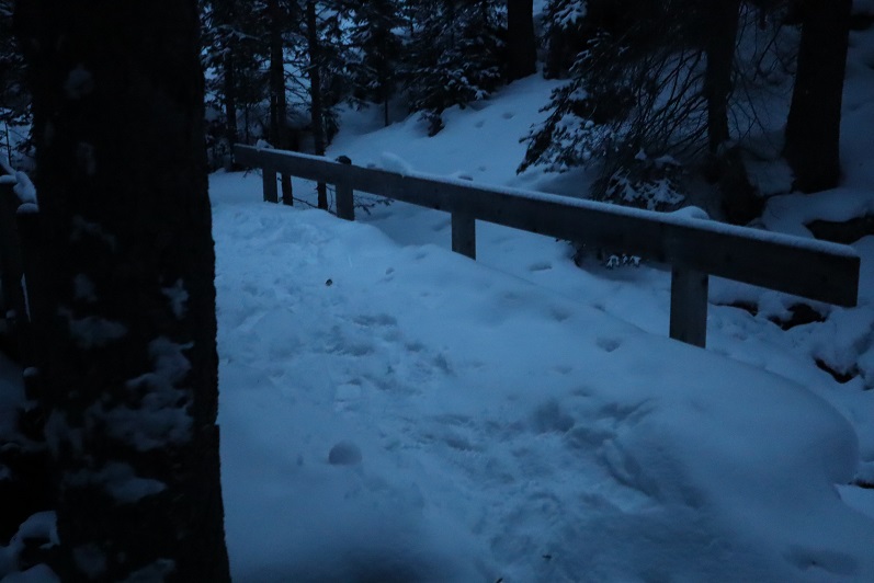
From the road I was pleased to find there were tracks indicating the trail. I followed them south
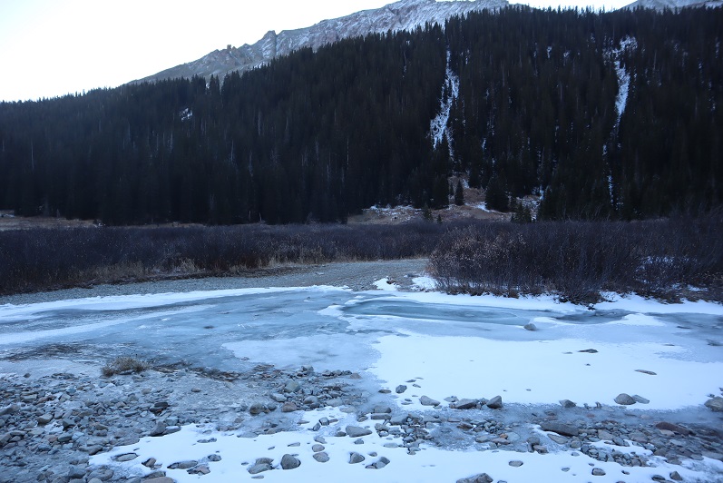
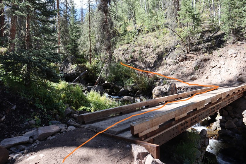
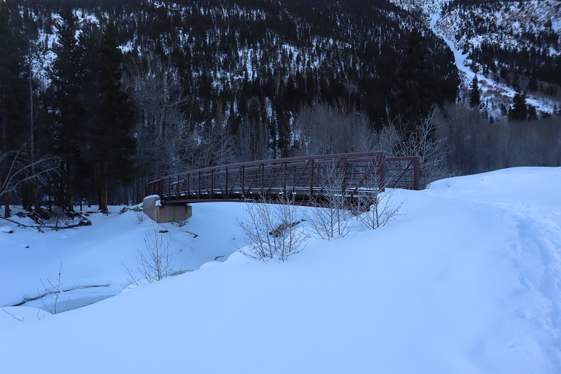
4

Crossed a bridge

5

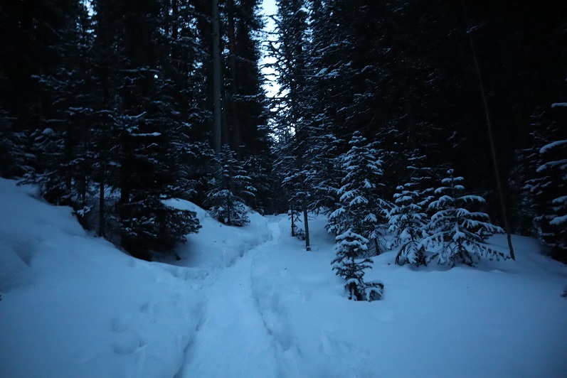
And followed Trail 1471.

6

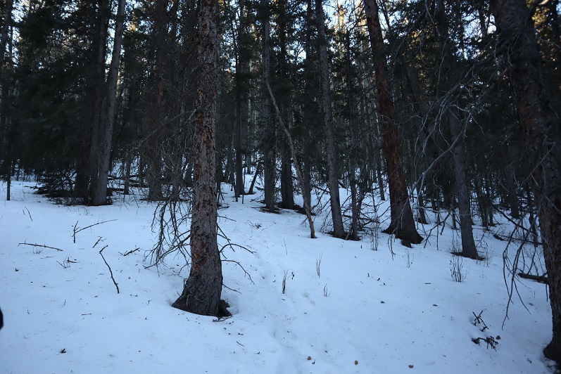
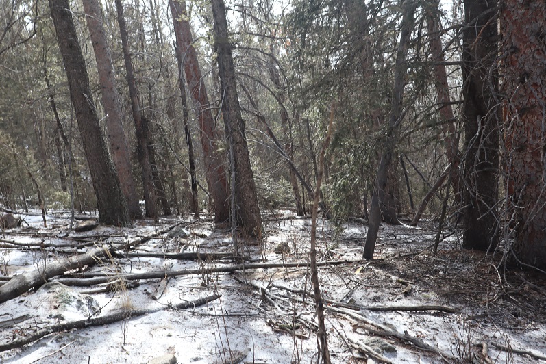
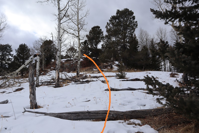
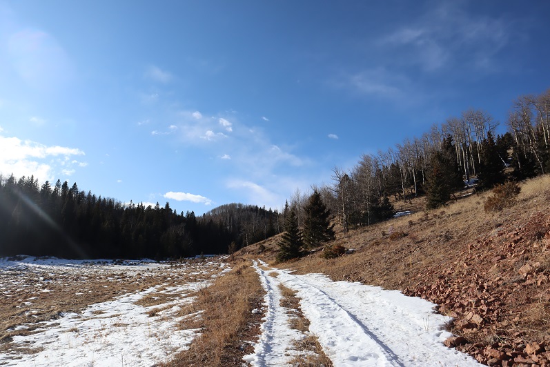
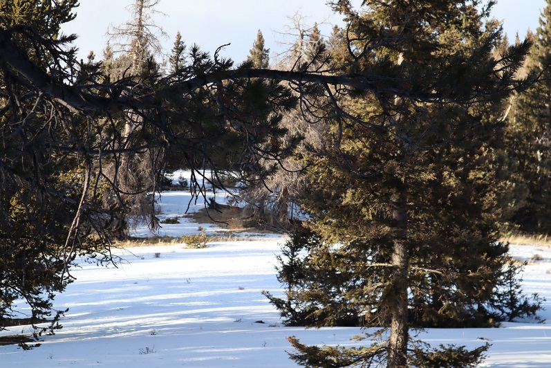
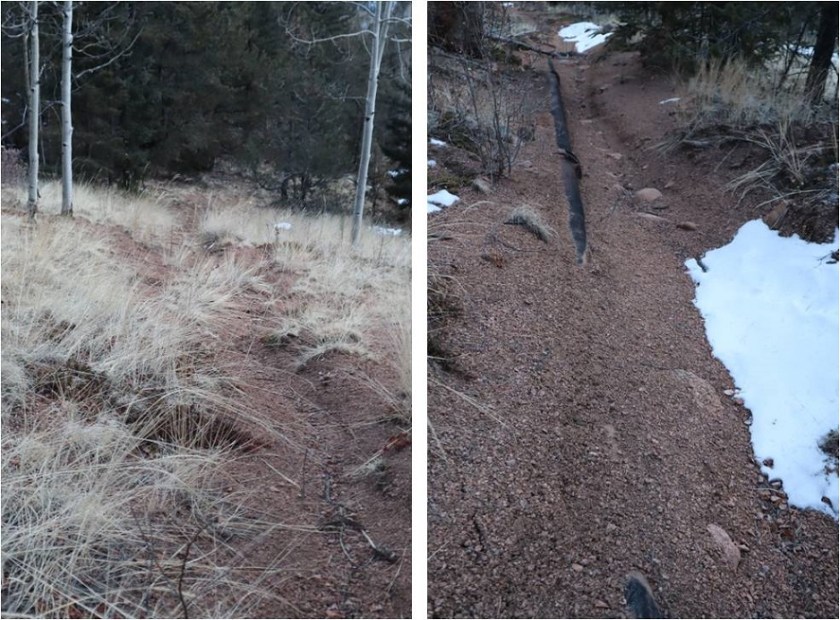
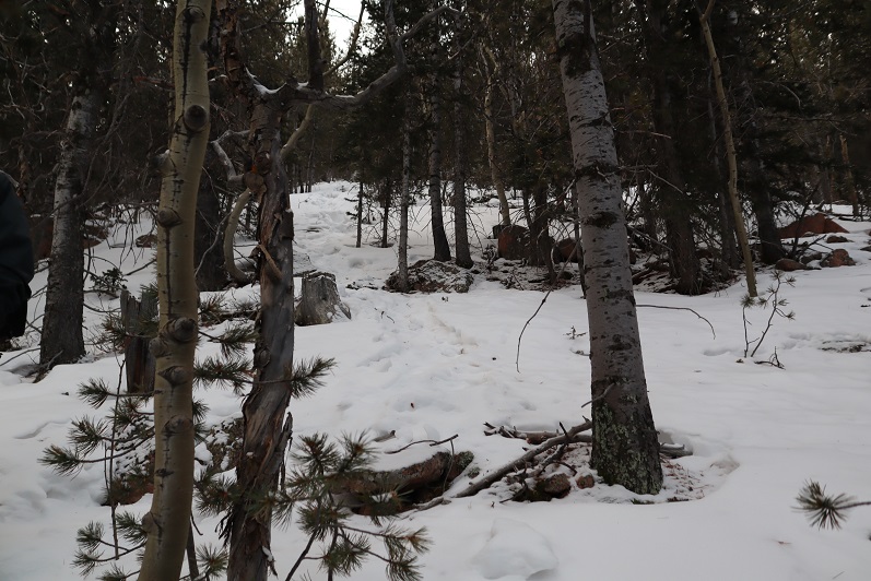
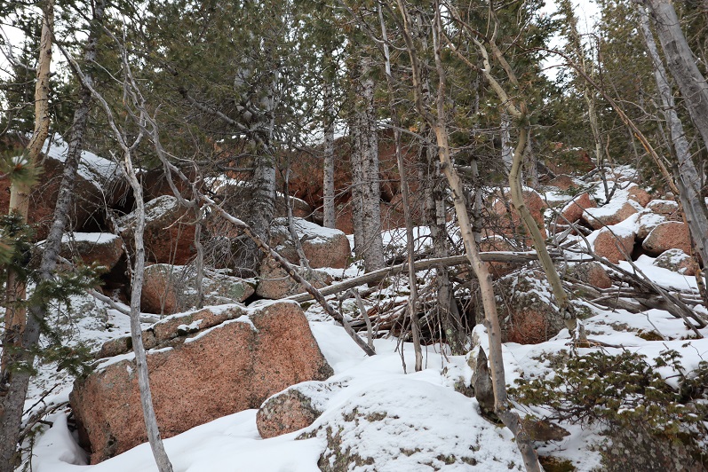
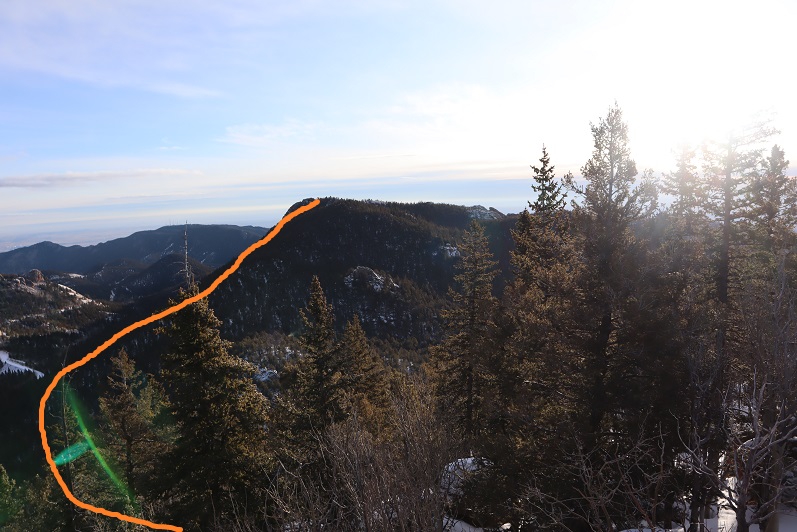
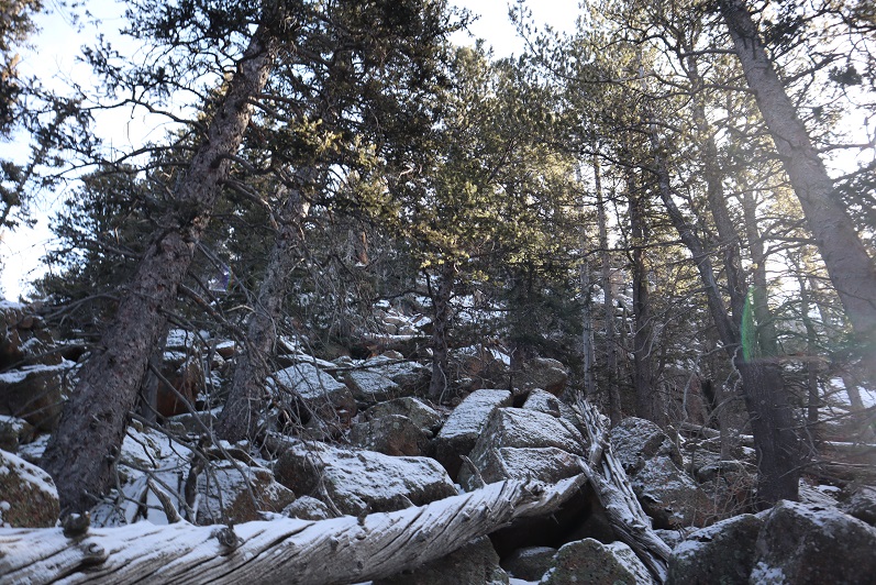
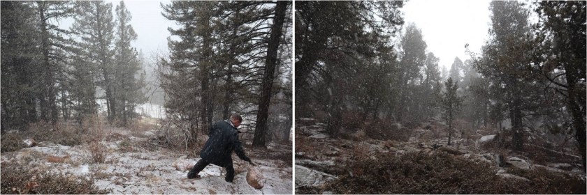
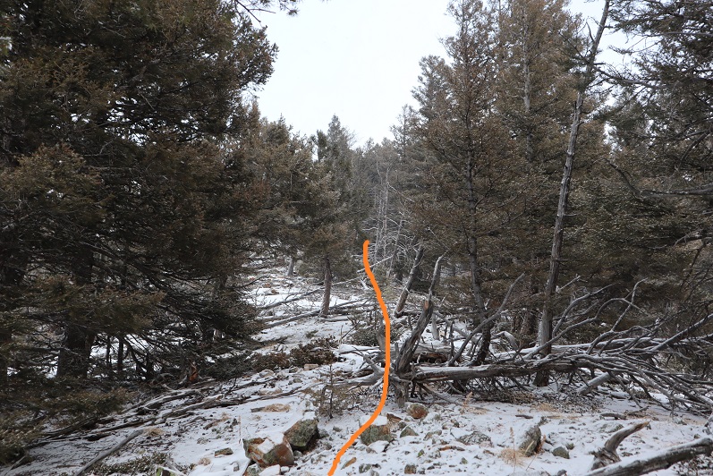
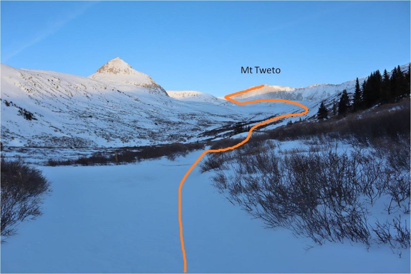
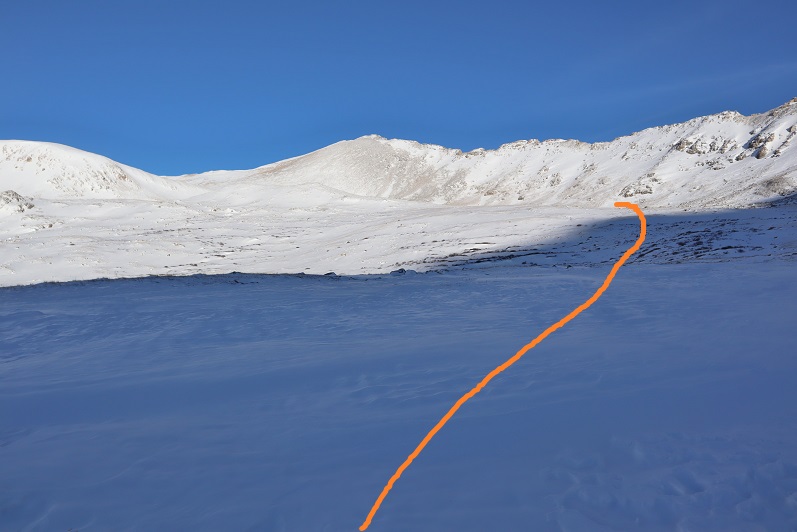
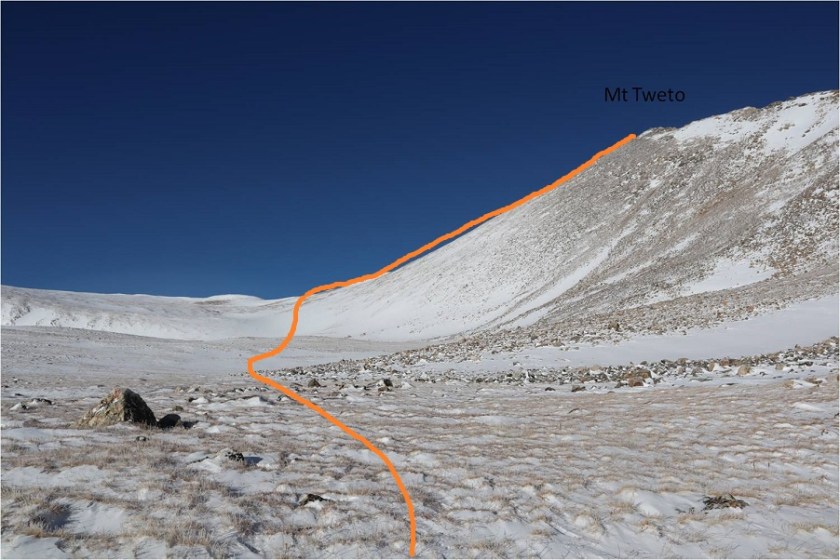
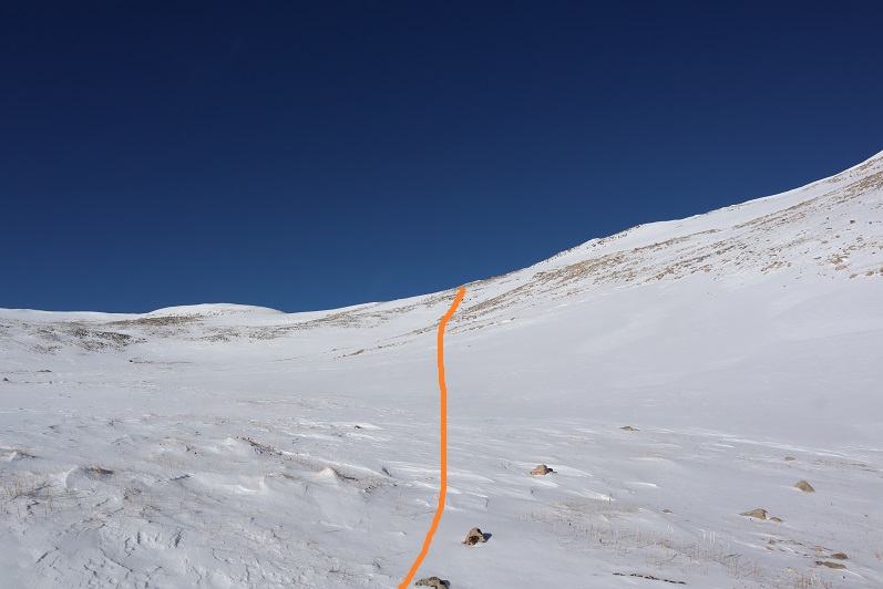
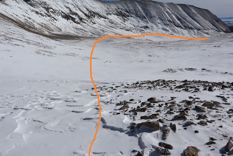
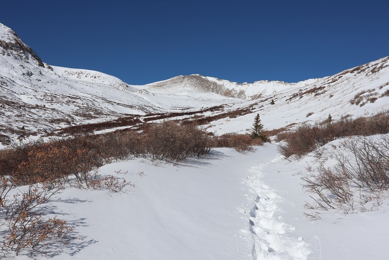
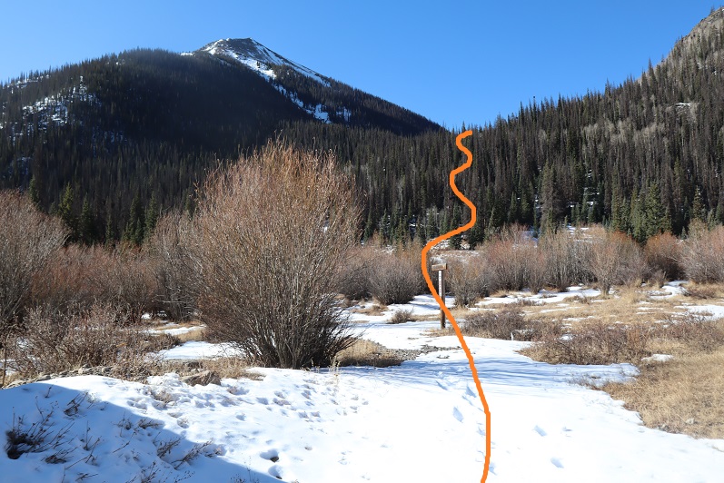
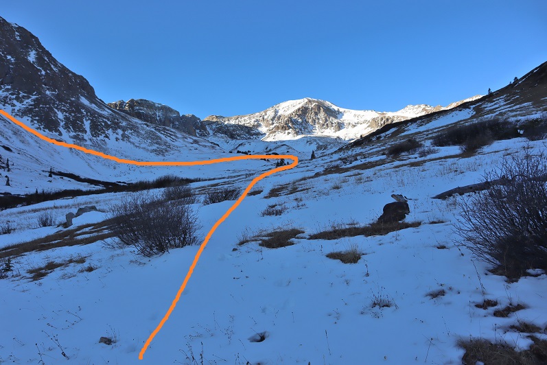
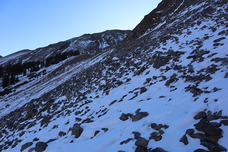
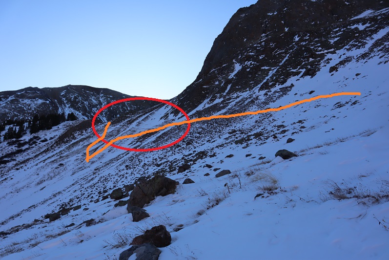
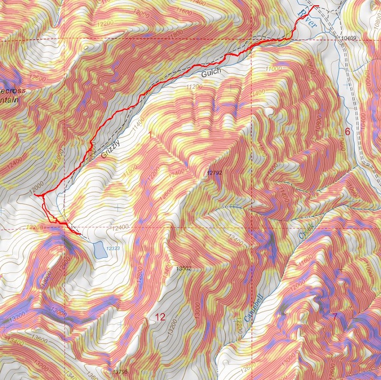
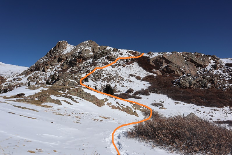
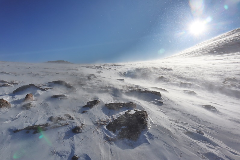
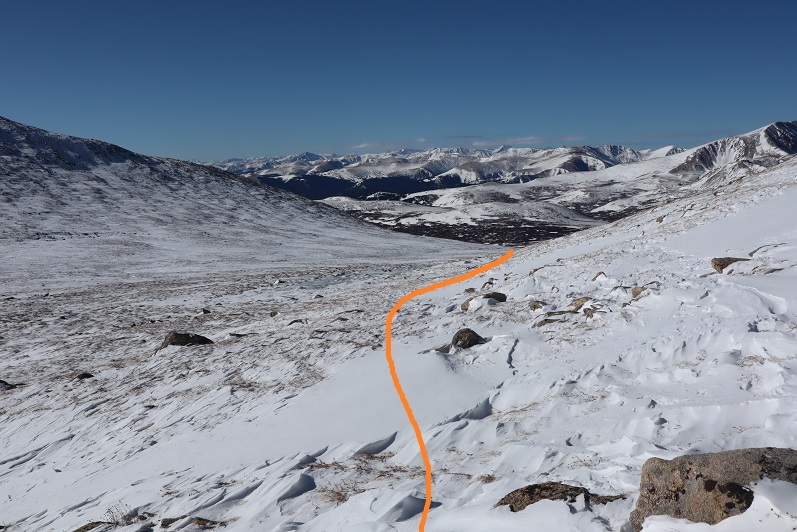
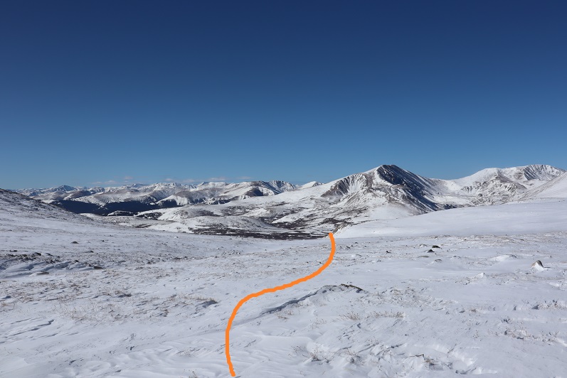
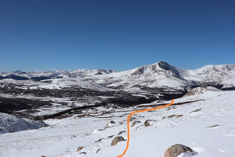
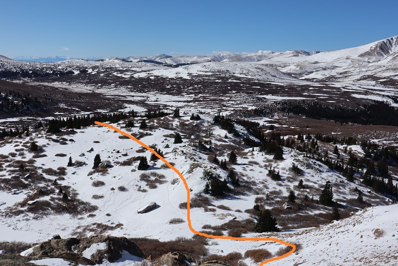
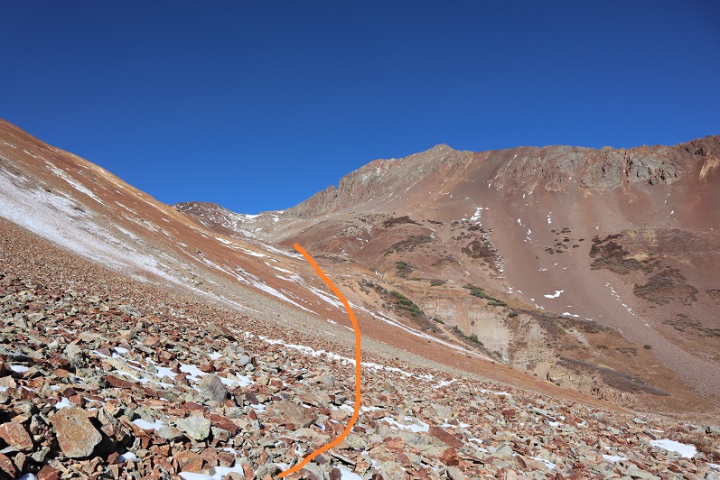
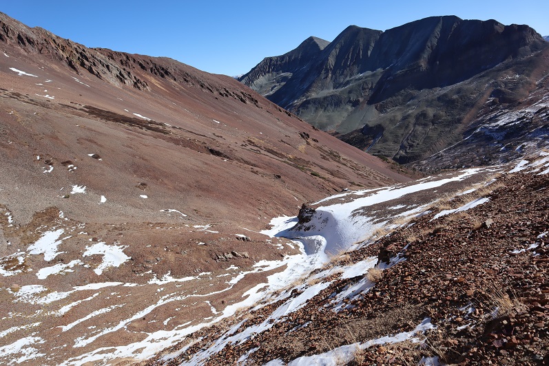
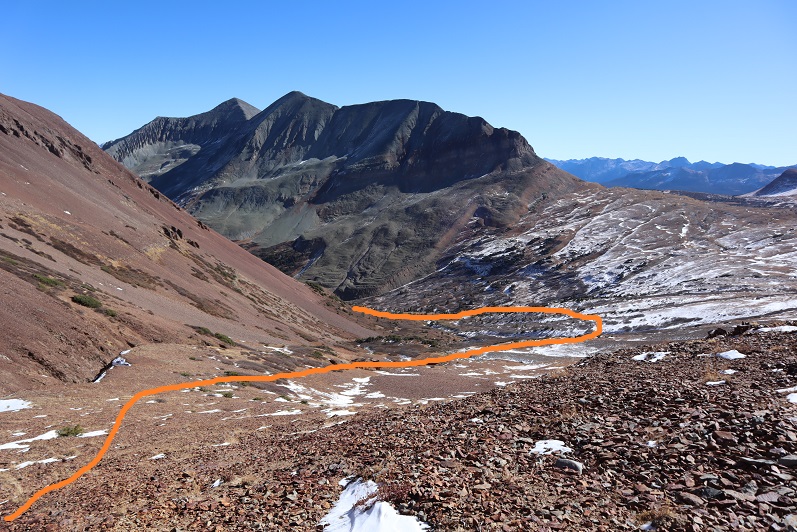
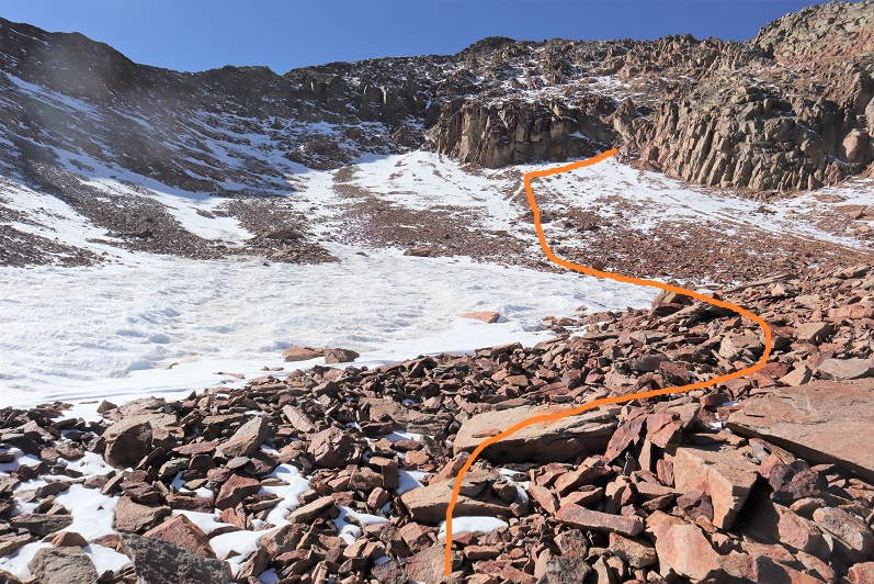
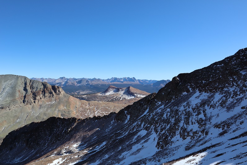
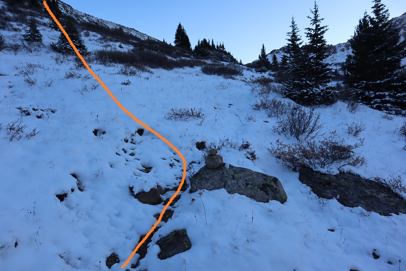
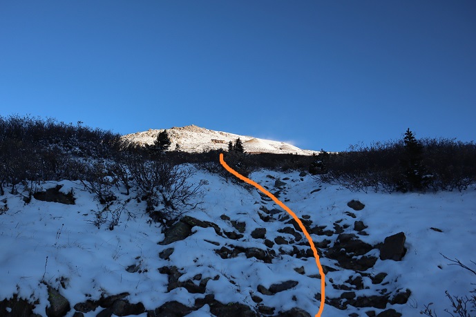
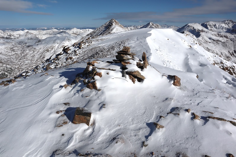
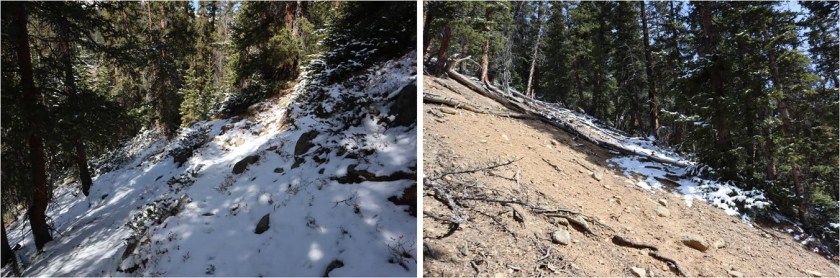
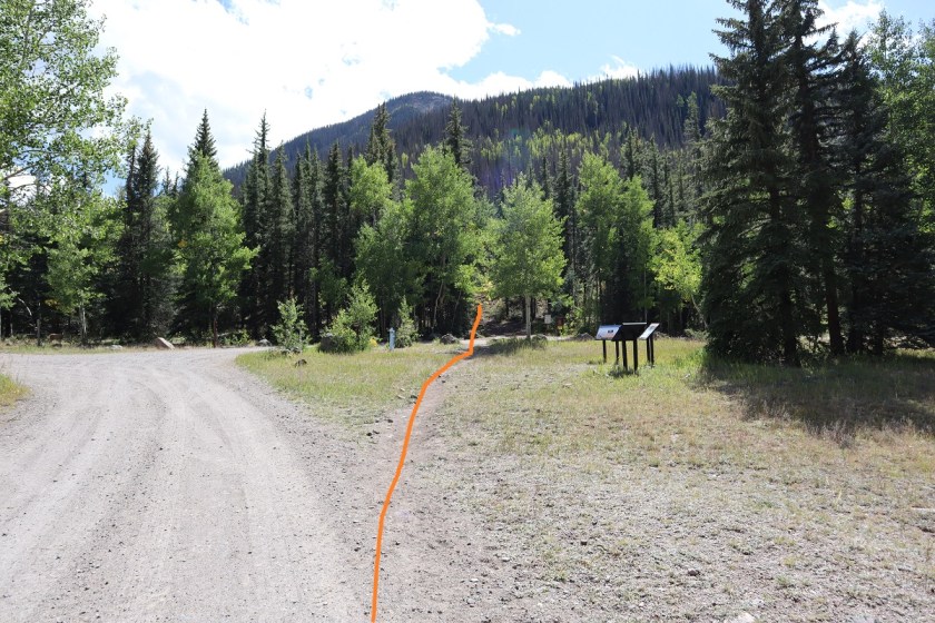
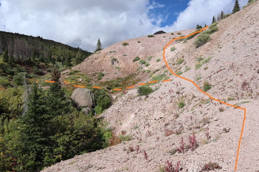
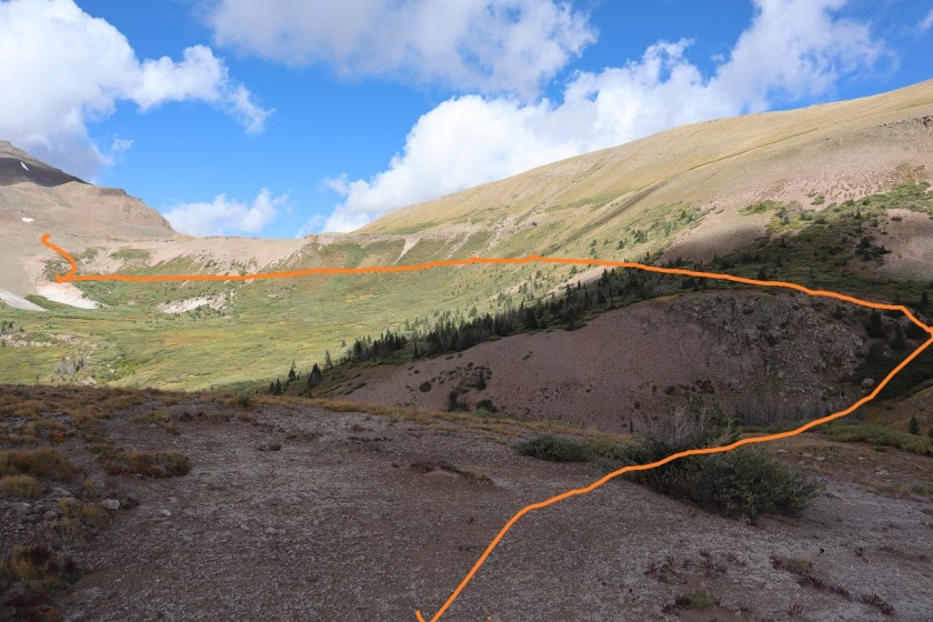
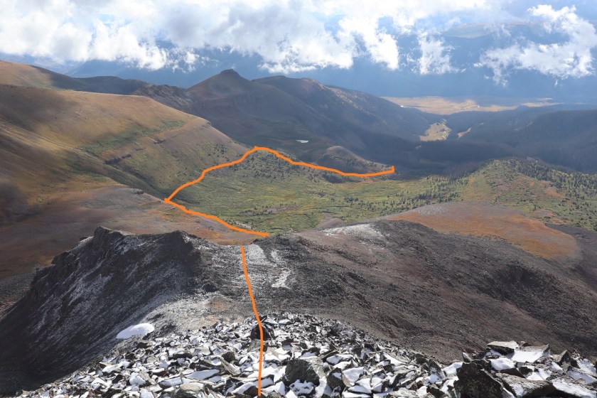
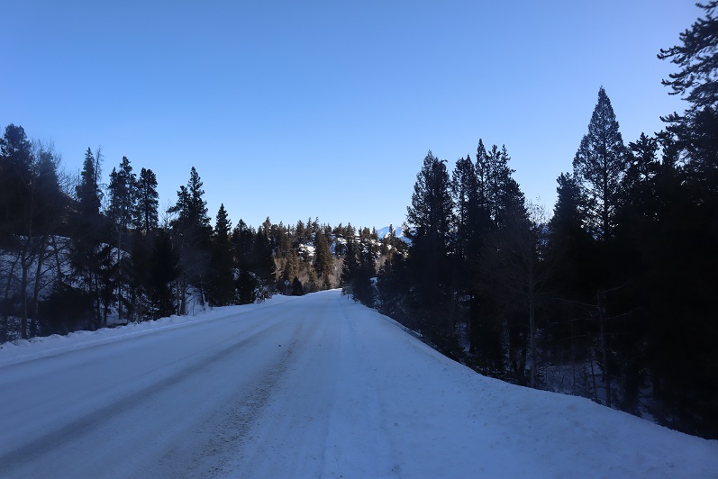
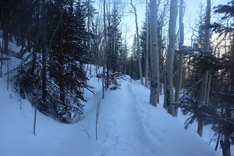
The trail was well trenched and I was getting excited for today’s climb. There were two ways to climb this peak:  One is to take the ridge, and the other is to take the gulch.  My preference was to take the ridge but when I got to the place where I was supposed to begin ascending there was too much snow to make it possible.

7

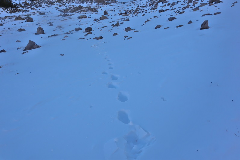
There wasn’t a trench indicating anyone else had attempted this route since the last snow, and when I attempted it myself I sank up to my waist. Oh well, I guess I’d just continue following the trenched route and try the gulch instead.  I continued on towards my second option

8

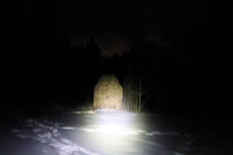
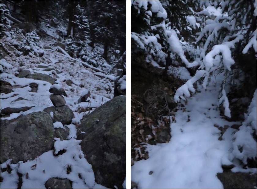
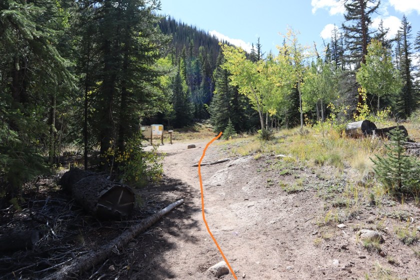
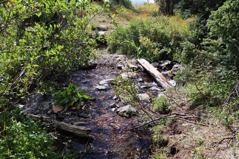
Passed a snow covered bridge

9

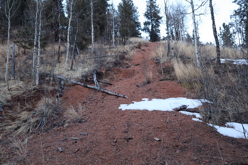
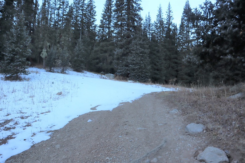
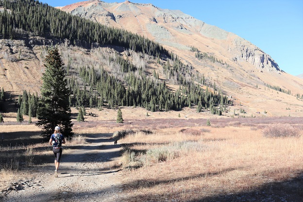
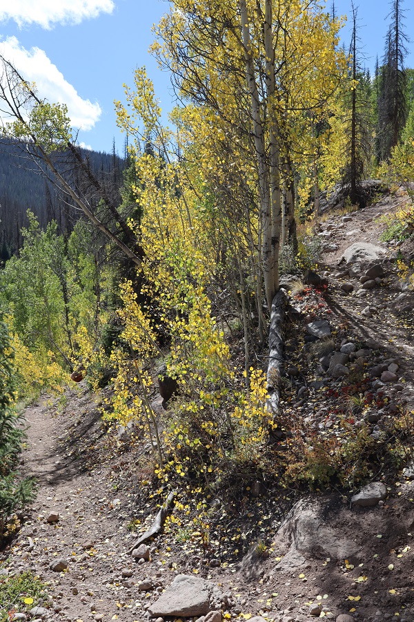
And continued following the well defined trail

10

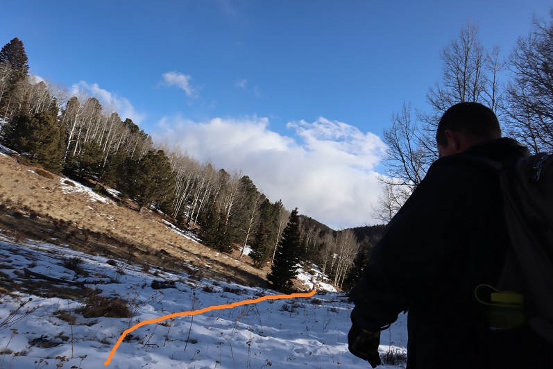
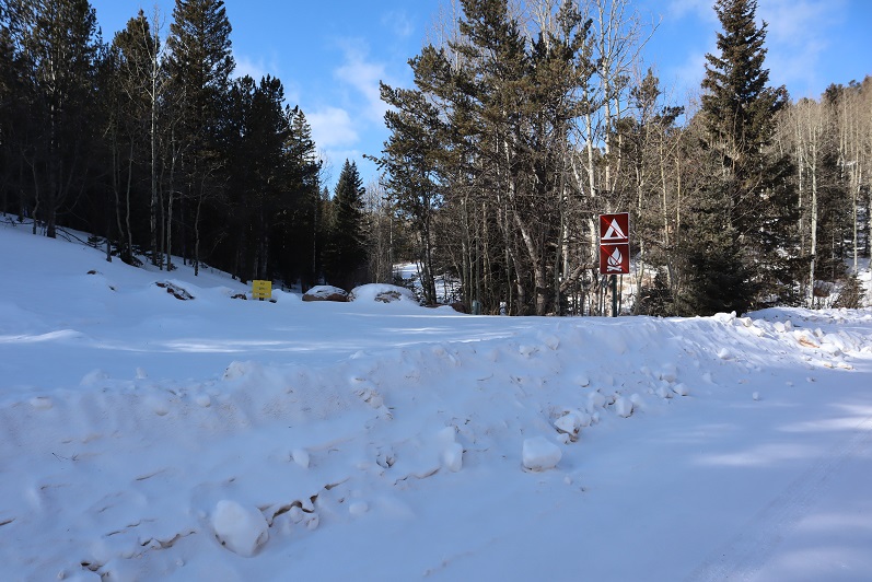
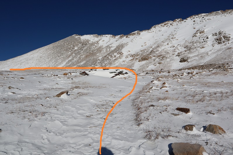
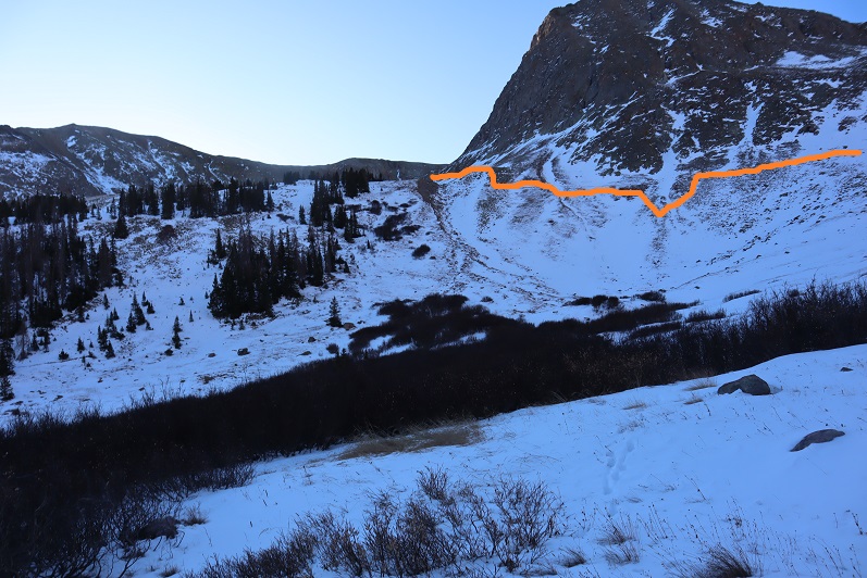
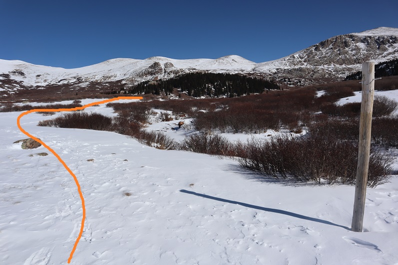
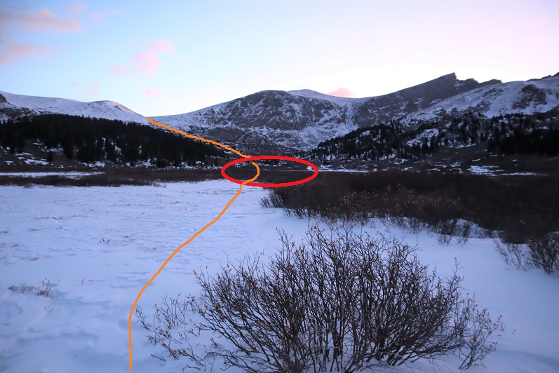
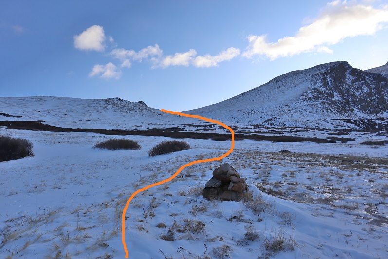
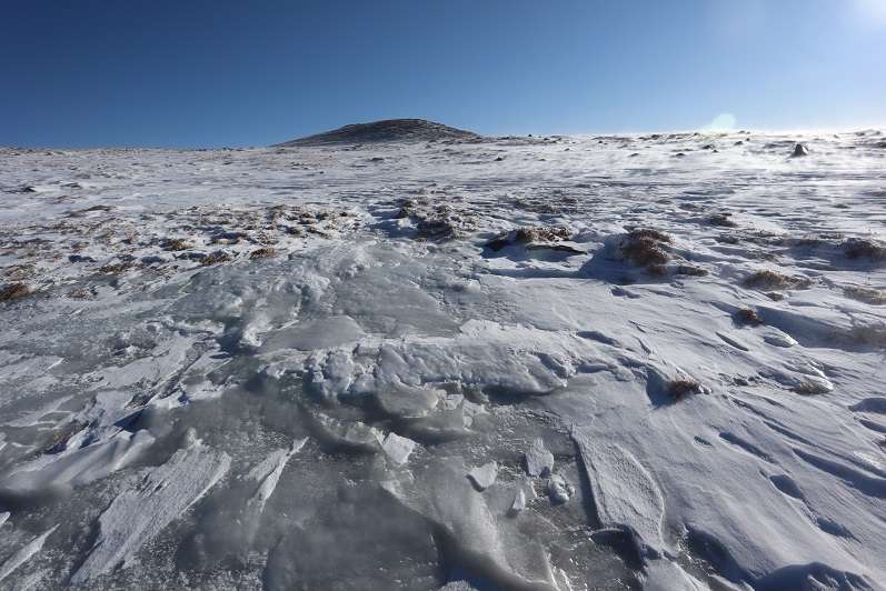
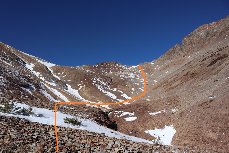
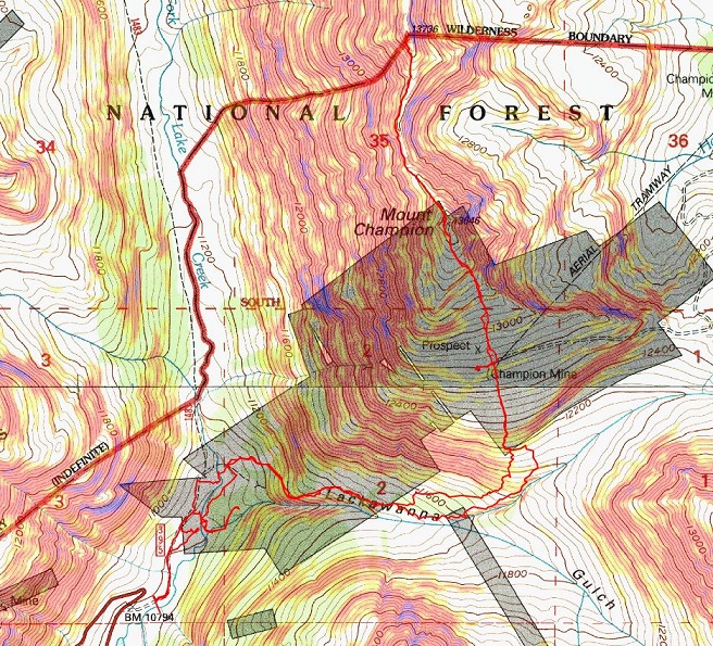
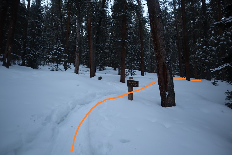
I came to a junction for Little Willis Gulch and Big Willis Gulch, where I turned right (west) aiming for Big Willis Gulch.

11

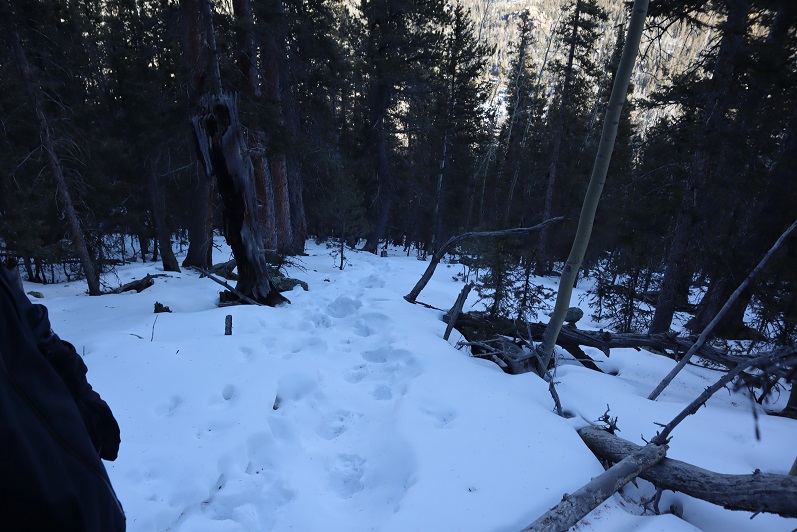
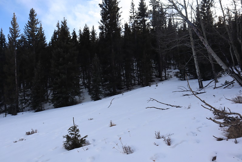
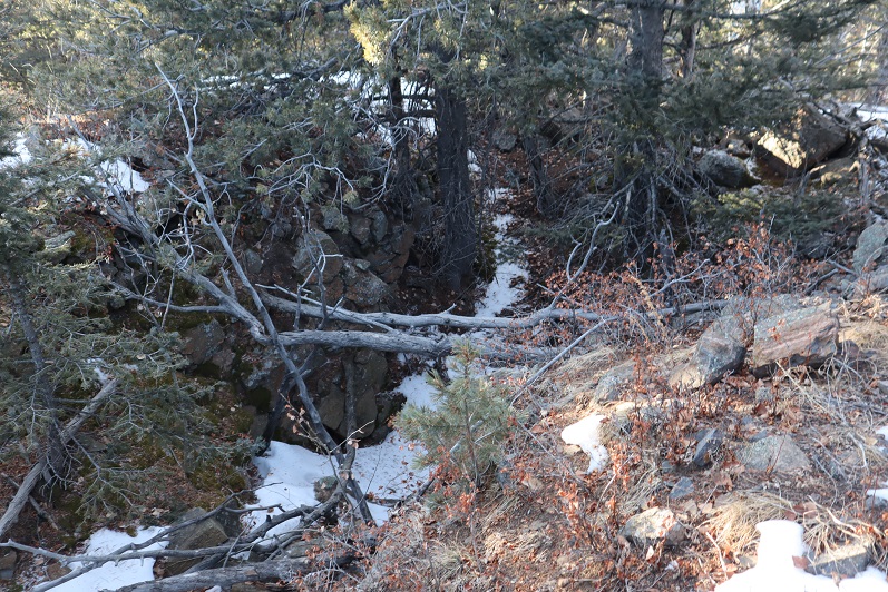
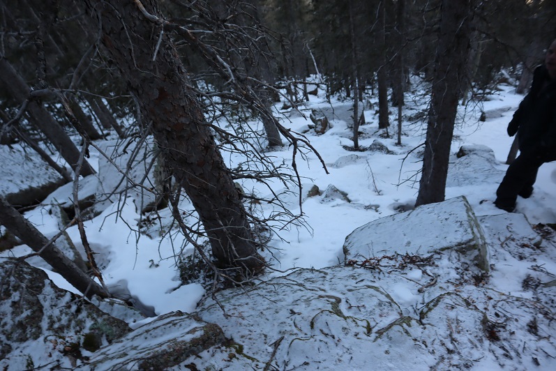
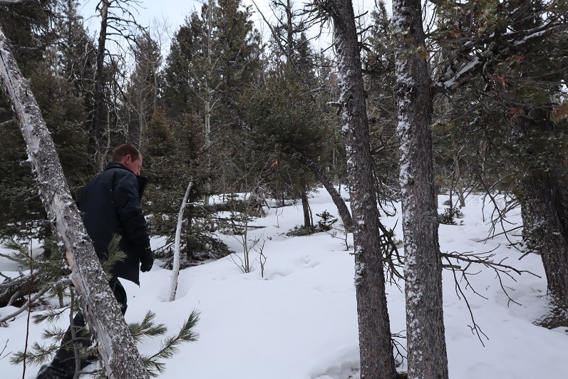
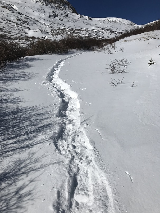
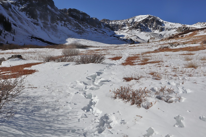
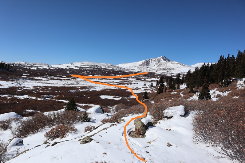
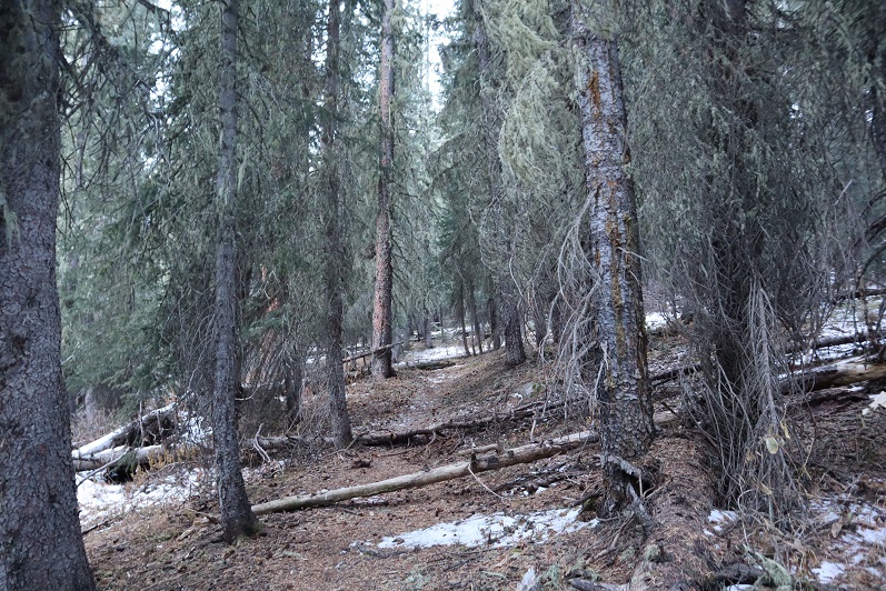
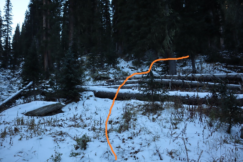
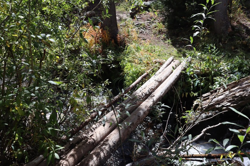
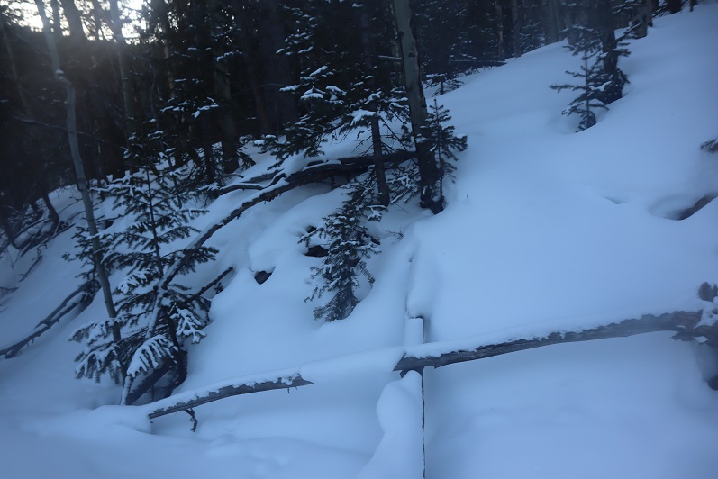
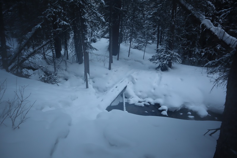
Here the well defined trench stopped, but luckily there was still an older, snow filled trench I could follow. I was postholing but at least I had a trail to follow.  The trail had tons of rodent footprints scurrying back and forth on the new snow.  I was able to follow this trail as it crossed the creek again.  This log bridge was ‘fun’ to traverse while wearing snowshoes

12

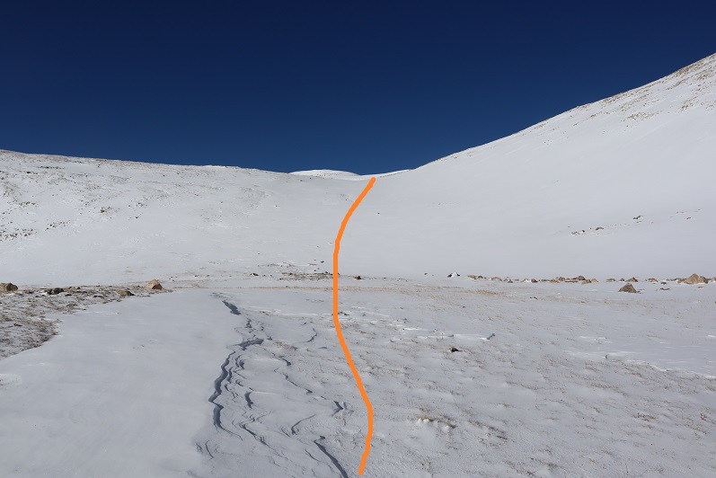
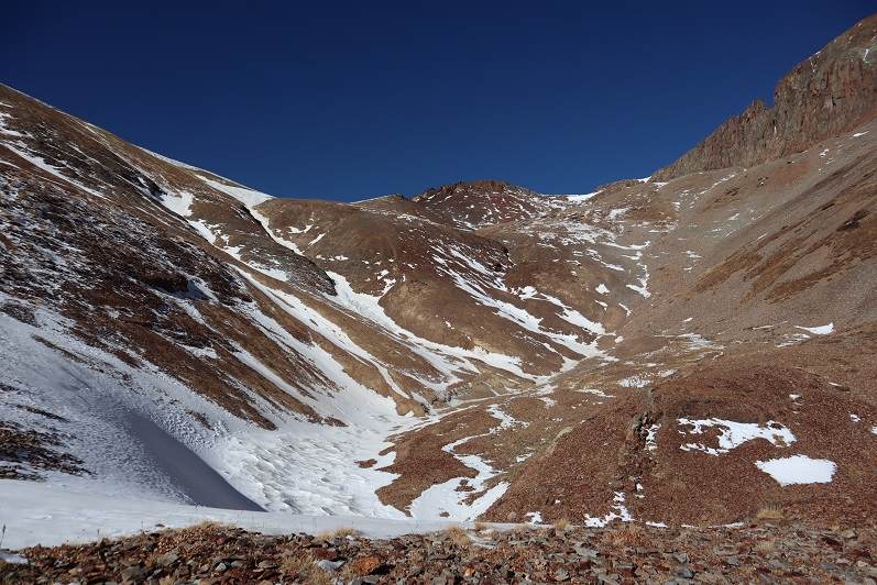
I crossed the logs and followed the trail for about 10 more yards before it abruptly stopped. Hmmm…. Maybe this was the wrong way?  I retraced my steps, crossed the stream again and went a little more south, following tracks again.  These tracks ended sooner than the last; it looked like they’d stopped because the trees were too dense and turned around.  Whoever had trenched this trail hadn’t gotten further than here and decided to turn around.  Twice.  Once again I backtracked and crossed the stream a third time (in snowshoes) intent on trenching my own trail if there wasn’t one established.  I reached the area I’d previously stopped and took one step forward

13

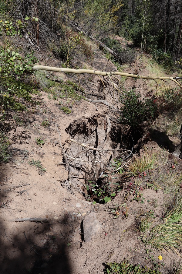
And sank up to my chest in snow. The only thing that kept me from sinking further was my backpack.  It took me about 10 minutes to backwards-wriggle out of the snow, and when I was safe decided to call it a day and head back to my truck.  I wasn’t thrilled with this decision, but I also knew it was the right one.  There was no way I was going to be able to continue here without skis.

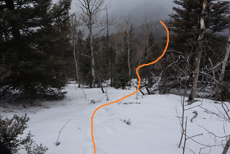
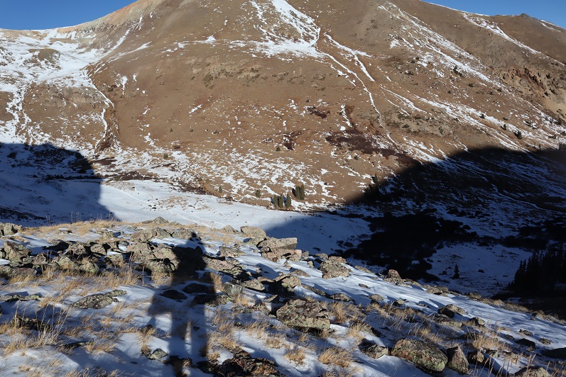
As I was trudging back the thought occurred to me if I’d have taken the ridge up and headed back down the gulch in a loop as I’d originally planned I could have ended up in a very dangerous situation: If I wasn’t able to go any further from this angle, just imagine the predicament I’d be in if I’d successfully summited via the ridge and went back down to the gulch, only to discover the snow was too deep to traverse?  I’d have been stuck in the gulch, or I’d need to re-ascend thousands of feet in elevation to gain the peak to exit, making for a very, very long day.  Instantly my mood improved:  Today was worth it after all, as I’d learned an important lesson:  in the winter, if doing a ridge route, always return the way you summit.  I re-crossed the bridge

14

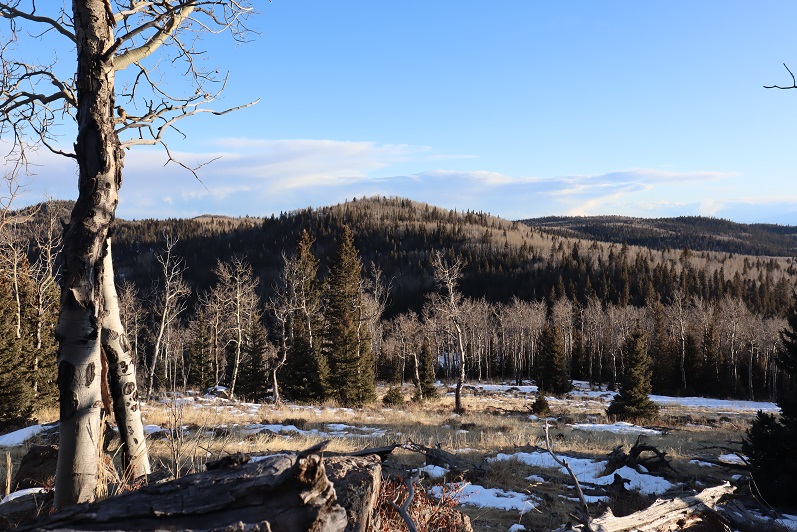
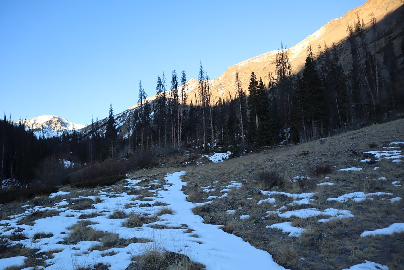
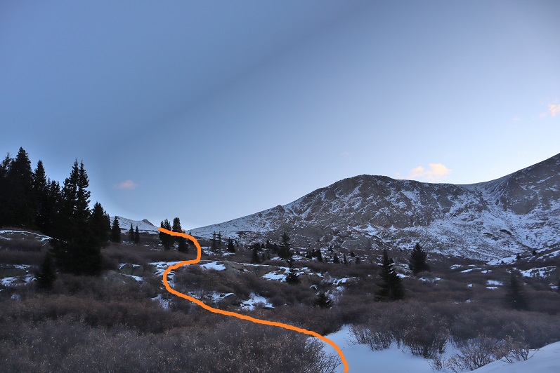
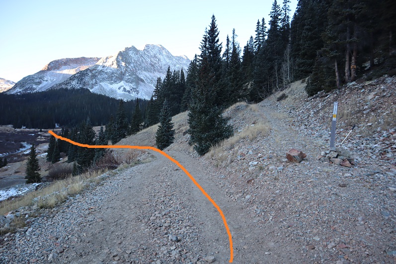
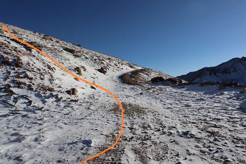
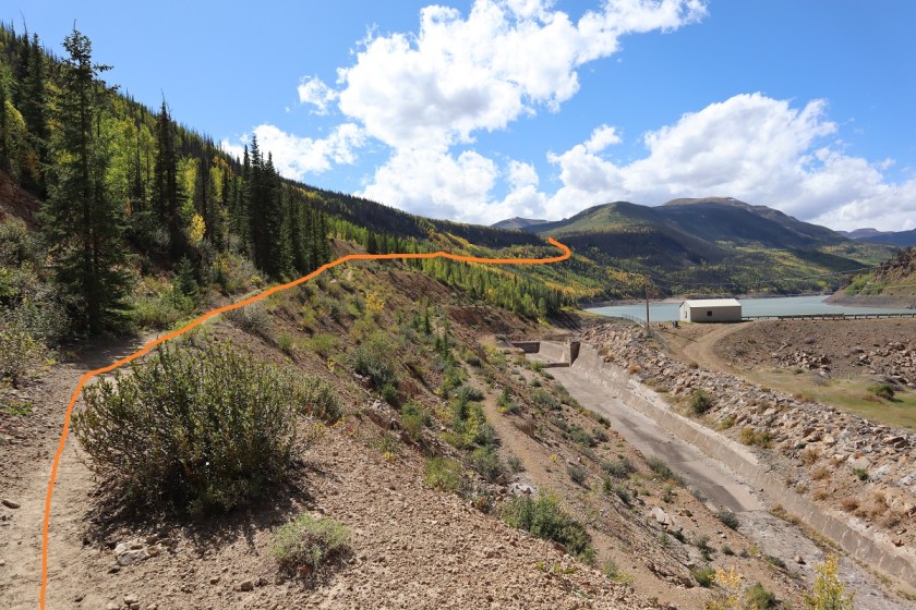
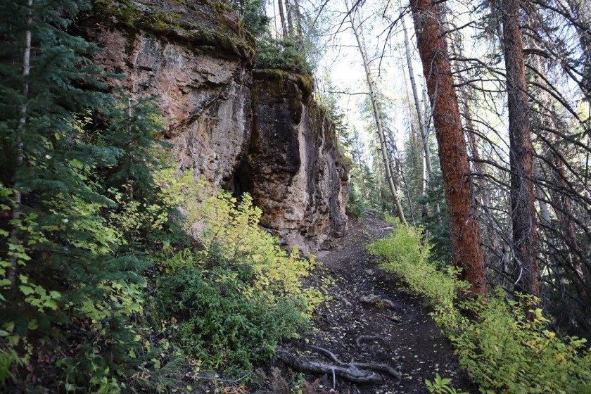
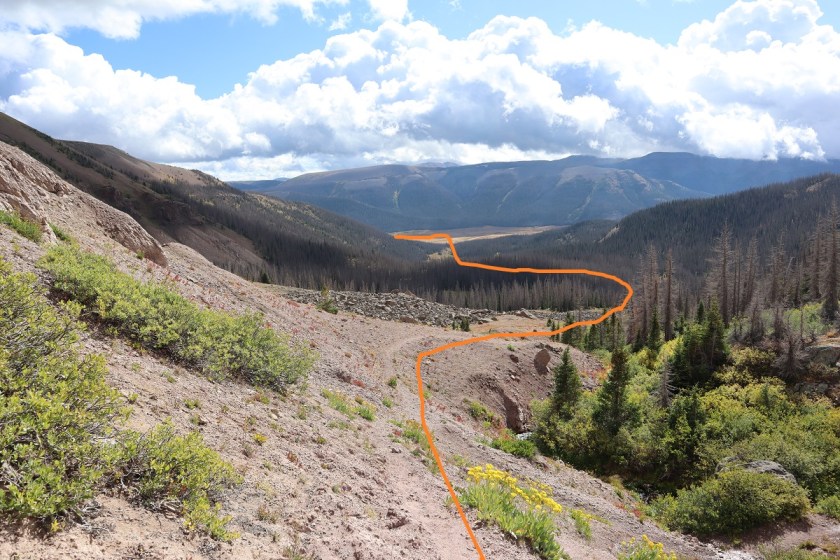
And followed the side of the mountain back towards the trailhead

15

16

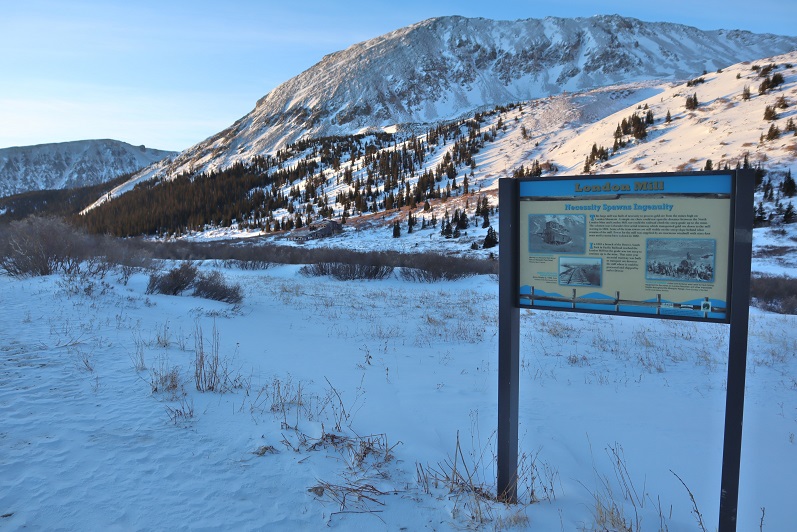
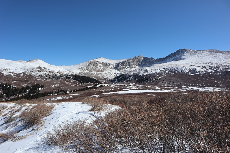
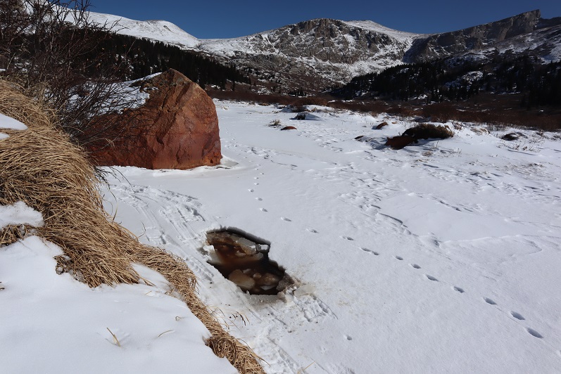
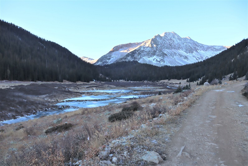
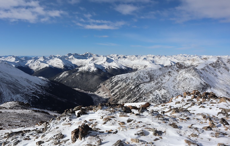
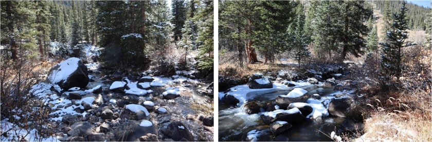
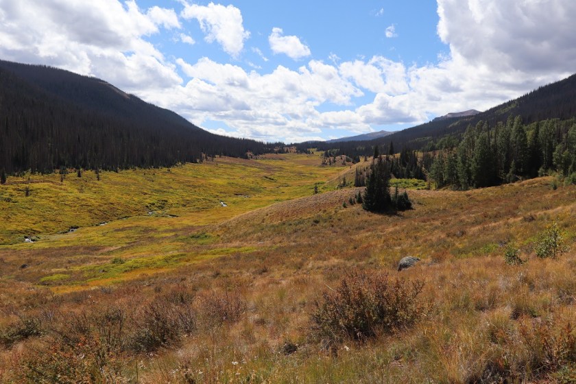
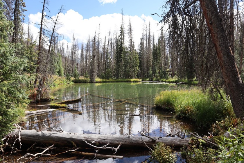
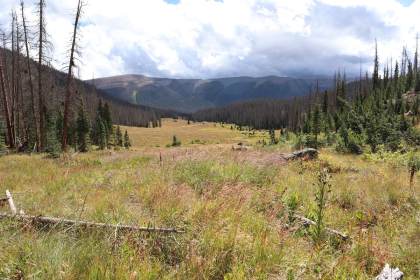
In the daylight, Lake Creek was beautiful!

17

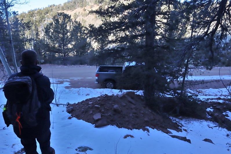
I made it back to the road and back to my truck, where the temperature read 12 degrees and I had frost in my hair.

18

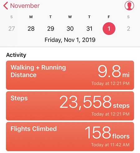
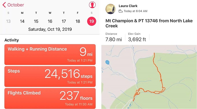
So in the end I didn’t get in a full hike today: Only about 6 miles with 1500’ of elevation gain.  I was bummed because I had so many options for hikes today and chose one I wasn’t able to complete, but I was glad I’d at least learned a valuable lesson (or two:  I should have picked an easier peak, but didn’t want to re-summit something I’d already done.  Next time I’ll take the safer option).

19

Colored Peaks

1

RT Length: 15.5 miles

Elevation Gain: 4692’

Partner: Steffen

I’m calling this post “Colored Peaks” because really, there were 6 peaks and it would have taken too long to title: Gold Flake – 10165, Red Flake – 10650, Blue Mountain – 9856, Yellow Mountain – 9982, Black Mountain (UR) – 10132, & Green Mountain – 10140

The forecast for wind today was between 70-90mph up high, so instead of hiking above treeline today we chose to hike some 10K and 9K peaks. It was still pretty windy, but at least we weren’t being blown away.  We got a bit of a late start because Old Stage Road takes forever to drive.  It’s nicely plowed but still icy in the morning.  I decided to park at the furthest peak first and work our way back.  The first two peaks were each less than a mile in length, and more like warm-ups for the rest of the day.   I’m really glad we decided to do them first because if we’d left them for the end I’m not sure we would have summited them.

Gold Flake – 10165 (so named because of the gold tin and golden morning)

I parked my truck on the side of the road and we headed east through the trees

2

And then south to the (rocky) summit.

3

There were no views on this summit, so we took a quick picture

4

Signed and replaced the summit register

5

And made our way back to the truck.

6

This was a very simple and straightforward trek up and down the mountain (without a trail or views).

Red Flake – 10650’ (so named because of the red tin)

We hopped in the truck, leaving on all our gear, and headed to the next trailhead. There wasn’t a place to park so I parked on top of a dirt berm near a shooting area littered with shell casings and we headed southwest up the side of the mountain.

7

8

There was more snow here, but luckily we soon came upon a trench! It looked over a week old, but made route finding much easier.  We found a microspike on the trail.  I attached it to Steffen’s pack and we took it out with us.

9

The trench led us to another rocky summit without any views

10

We signed and replaced the summit register and were quickly on our way back down.

11

12

Two easy peaks down, we now drove Old Stage Road to 371 and took that 4WD dirt road south to Emerald Valley Ranch, where I parked next to a locked gate.

13

Blue Mountain – 9856’

Emerald Valley Ranch is now owned by the Broadmoor, but was originally purchased as a Girl Scout Camp, and then sold to Spencer Penrose.

We started out hiking southwest along the road

14

There was a locked gate, but no ‘no trespassing’ sign and tons of footprints, so we just went through the gate

15

I found some pieces to a hornets’ nest in the snow. At first I thought it was the entire nest buried, but it ended up just being a few pieces.

16

The road was supposed to lead us near Emerald Valley Boys Camp, but we didn’t see any evidence of that. Instead we came to what was left of an old cabin.  We looked around for a bit and then headed south.

17

The trench stopped at the cabin and there was no trail here, so we bushwhacked our way south up the mountainside, following deer/animal tracks when available.

18

We came upon a small lashed structure that looked to have been lashed recently. Maybe this was part of the Boys’ camp? It would make a good tent if you brought along a tarp.

19

Onward and upward! Check it out: I found some pieces to another hornets’ nest!  Kind of cool, considering it was over a mile away from the last one

20

We were still straddling the ravine until we made it to the ridge

21

This was our aim

22

Once we made it to the ridge it started snowing, which was weird because snow wasn’t in the forecast for today. The wind also picked up, but since we were below treeline it was tolerable.  Notice all the deer/elk chews on the trees?  We saw them all day, and tons of scat as well (from Deer, Elk, and Bighorn Sheep)

23

The ridge seemed to last forever! Every time we thought we were at the summit the route would dip down and then back up again

24

25

There were so many downed trees! Branches and limbs were scattered everywhere.  We had to go around large piles of dead trees and circle back again several times to stay on the ridge.

26

There were several places that looked like the true summit. We walked around them all but agreed the highest point was the one furthest to the southeast.  None of the high areas had a summit register, so we left one and since it was cold turned around and headed back down the ridge, being careful to stay on the ridge this time and not heading back down the gully

27

28

Yellow Peak – 9982’

The skies suddenly cleared and we were treated to a great view of the peaks we hiked last weekend: Knights, McKinley, and San Luis

29

The ridge had some open areas that looked great for grazing and lots of aspens with bite marks

30

31

Here’s the last bit of the trek to the summit

32

We followed the ridge all the way to 9982, which we named “Yellow Peak” because it fit and because there was yellow duct tape on the summit register.

33

Here’s looking back on Blue Mountain

34

Black Mountain (UR) – 10,132’

At this point we had a decision to make: we either turned back now and headed back to the ruins/Emerald Valley Boys Camp area, or we made this a loop and continued on.  I was a bit worried because I hadn’t brought a flashlight and if we continued I knew we’d be hiking out in the dark.  Luckily Steffen had one in his backpack and we were feeling great so we decided to keep going and hit a few more peaks today.  We continued west down the mountain to a small saddle on a game trail, and once at the saddle picked up an actual trail.

35

36

That led to a 4wd road! This was great!

37

We followed the road west for quite a ways, past a run-down cabin and a couple of homes sporting tons of elk antlers

38

39

We could have followed the road up to the saddle, but at the time we didn’t know this, instead we cut across a field and headed south up the mountain (through a lot of snow)

40

41

There wasn’t a lot of elevation gain on this one since it’s an unranked peak, and it didn’t take us long to make it to the summit.

42

There wasn’t a summit register on this peak. We would have left one but we didn’t have one to leave.

43

Turning to the northwest we could see our last summit of the day:

Green Mountain – 10,140’

44

This really was a simple hike northwest past the road and up to the summit of Green Mountain.

45

When we arrived we had a great view of Black Mountain

46

There was what looked to be a mine at the summit?

47

We walked all along the top of the summit just to make sure we hit the actual ‘high point’. We were unable to find a summit register for this one either, and were a bit disappointed until Steffen got an idea:  he decided to look inside this stump and guess what?  There it was!  It hadn’t been signed since 2010 so I’m sure no one else had thought to look inside the stump since then.

48

We signed the register and put a cairn on top of the tree so others would know it’s there

49

Time to make this a loop! We traveled west down the ridge, avoiding this outcropping by navigating it to the left

50

This quickly brought us to the road

51

We followed it and were surprised to come across a gate. The only thing to do was climb over it. When we made it to the other side we realized we were now on the ‘right side’ of the gate.  Curious though, since we hadn’t seen any other gates/no trespassing signs on our way in?

52

A little ways after the gate, and just before the road curved west, we saw a cairn to our left (well, a rock on a log) and followed a faint trail down the mountainside.

53

54

Eventually the snow stopped and we descended a steep pipeline/scree slope to another 4WD road.

55

56

I was excited to finally make it to this road! We still had quite a ways to hike, but now all we had to do was follow this road out.  Well, I was excited until the road became covered in snow.

57

The snow was about 2 feet deep and snowshoes would have helped greatly, but we didn’t have any. Instead we took turns trenching and walking in each others’ footsteps.  I could tell this was especially taxing for Steffen.  I’m used to going for long hikes without eating/drinking anything.  My body is just used to it, but his isn’t.  Although he’d had plenty of snacks today and was currently out of water because he’d drank it all, he was tired, hungry, and thirsty.  He’d already taken a few Advil and I was worried about him hiking in the dark.  And then it started to snow.

58

He stopped to take another Advil and we heard a large cat scream twice to our left. We decided to double the pace towards the ruined cabin.  At times there were animal tracks to follow, but most of the time we were trenching through several feet of snow.

I was excited again when we finally made it to the ruins: we now had less than a mile to go!

59

This was the easiest part because the trenching stopped and we followed our footsteps in. We made it back to my truck around 6:30pm, making this a 15.5 mile trek with 4692’ of elevation gain in 10 hours, 45 minutes.

60

I was proud of Steffen! This was the longest hike he’s ever done.  He was exhausted, and offered to cook me steak to celebrate when I dropped him off at home.

61

Knights Peak – 10490, McKinley Peak (UR) – 10450, San Luis Peak – 10460, PT 10100 & PT 9410

1

RT Length: 10 miles

Elevation Gain: 4094’ (debatable?)

Time: 7 hours

Partner: Steffen

Another day of local highpointing! Today I’d wanted to hit 5 highpoints off Old Stage Road and Steffen volunteered to go with me to practice some routefinding below treeline.  It was snowing (lightly) when we made it to the first parking spot.  Actually, the drive took what seemed like forever because I was careful driving on the icy road.  I had to turn around a few times before finding a big enough space to park my truck while avoiding drifts and ended up parking a little ways further than I’d wanted to.

2

We donned our microspikes, left the snowshoes in the truck, and headed west along Old Stage Road. There isn’t a trail on this one (or if there is it was covered in snow) so we just walked up this slope and continued southeast up the ridge

3

Knight’s Peak, McKinley Peak, and San Luis Peak

There was snow here, and a lot of downed trees. I let Steffen route-find since he’s learning.  In places where I would have zig-zagged to avoid branches he just knocked down the ones in the way.  My bandana kept getting caught on branches (and eventually ripped in half).

4

About half way up the ridge we ran into an old set of tracks and decided to follow them up

5

The tracks led to a rock formation

6

This rock formation had a class 3/4 chimney we used a strategically placed log to climb. This part was unexpected and fun!

7

Looking down the chimney

8

From here we continued southeast towards the summit

9

The summit block had a rather fancy trail register

10

We didn’t sign the register, but we did climb up on the rock to make sure we tagged the high point.   From here we had a great view of our next objective:  Unranked McKinley Peak.  Here’s an overview of the route we took

11

Heading down from Knights Peak was fun! We passed some stashed firewood, which made no sense to us since this place was littered with fallen trees

12

We headed towards the saddle and then up the ridge. There were some neat rock formations here too.

13

Check out the view of Knights Peak! When you descend this peak be sure to stay to the north.

14

There’s a bit of a false summit to McKinley, but the actual summit isn’t that far away.

15

We went up these rocks

16

Skirted this rock formation to the right (south)

17

Carefully maneuvered our way up this ramp

18

And noticed the summit of San Luis Peak was to the right (east)

19

So we downclimbed the rock we were on to the left (west), skirted the large rock and re-climbed with a little scrambling back to the east

20

21

And headed towards the summit

22

This part was definitely class 3-4 climbing! It reminded me of the summit block on Sunlight in the Chicago Basin, but a bit longer

23

This part was challenging for me because it required taking off my gloves. The rocks were cold and covered in a thin layer of snow, so my fingers weren’t very useful.  I did summit however, and took some photos for fun.

24

25

Here’s looking back on the other two peaks we’d already summited this morning

26

Steffen headed down the summit block first. He wanted to climb the other tower, which we both agreed seemed to be about 10 feet lower than the summit of San Luis Peak

27

28

I slowly made my way down, being careful not to slip because there was no way to catch myself. Ropes would be a good idea on this part.  Helmets too.

We fixed the cairns (they were pointing towards the lower of the two spires)

29

And headed back down the rocks. Here’s the route we took, using the tree for added support.

30

Once again, there was no path down this mountain. We just zig-zagged our way down through the trees toward the road.  It was very steep, and I was glad we’d decided to take this way down instead of up.

31

We came across a cool cave that would make a great den. We didn’t see any tracks near here in the snow, so we assumed it was vacant

32

Steffen stopped to make a snow angel

33

And we exited the trees and followed the road back to my truck

34

Here we could have taken a short cut between the mountains back to my truck, but the snow was too deep. If we’d had snowshoes it wouldn’t have been a problem though

35

Our next peak was a little ways away, so after getting back to my truck we drove on Old Stage Road back the way we’d come and found a parking spot at the base of 10100.

36

10100

There was less snow here but we kept on our microspikes, not sure of what we’d encounter. The first part of this climb was steep and ascended through lots of brush and trees, both alive and dead

37

We angled slightly left up the mountain until we came to a rocky area. We rock hopped up the rocks

38

And came to rocks that were not climbable, so we skirted the formation to the left

39

And went up a small gully

40

We turned left at the top of the gully and followed the ridge to what we thought was the highpoint, but was really a false summit. From here we could see the true summit of 10100, more to the north of us.  We could also see increasing clouds.

41

It was a short hike over to the true summit. Here we found a summit register and Steffen signed it (I don’t usually sign them, but added my WW for good measure).

42

43

The wind picked up and snow flurries began, so we decided to head back to my truck. It was amazing how different the trail looked on the way back with no visual cues to help with route finding.  On the way in I’d kept looking back at the mountains to remember how to exit, yet now the snow was so enveloping it covered our earlier tracks and I was unable to see any mountains.

44

In the snow we had a little trouble finding the correct gully to descend, but eventually found it and made our way back to the road.

45

9410

With all this unexpected snow we debated our final peak of the day, but once we made it to the trailhead we decided to go for it. Peak 9410 is an easy hike on an established trail for 80% of the time, and a good introduction to easy route finding and peakbagging. We parked at the top of a hill at the trailhead for Gray Back Peak and headed southeast on a scree and snow filled trail.

46

This trail quickly became snow packed, but there was a nice trench to follow

47

We hiked it up past point 9153 and descended a bit, losing about 150 feet in elevation before regaining it and reaching the top of a hill. The trail continues south here towards Gray Back Peak, but we found this marker on a tree and left the trail, heading east.

48

Every so often we’d see a cairn or surveyors tape, letting us know we were on the right track. We headed east and once we reached the ridge northwest towards the summit

49

50

Once again, the summit views weren’t all that great due to the snow/clouds, but the short trek had totally been worth it.

51

We found a summit register but didn’t bother to sign it

52

And instead headed back down the mountain

53

54

And back to the truck

55

We made it back to my truck at 2:30pm, making this a 10 mile hike with 4094’ of elevation gain in 7 hours, with a couple of trailhead drives in the middle.

56

But those numbers are debatable. Steffen’s numbers were drastically different than mine.  We both used Strava to track our progress, and hiked the entire time together, yet his elevation gain read in the 5000’ range, while mine was in the low 4000’.  That doesn’t make a lot of sense.  Our mileage was off too, making me wonder what’s up with the disparities.  Have my numbers been artificially low, or are his high?

Mt Tweto – 13,672

1

RT Length: 11.2 miles

Elevation Gain: 2762’

My flight actually made it in on time and I drove from DIA to the Mosquito Creek trailhead starting at around 11pm. I70 was closed for rock mitigation so I used 285 instead (and passed fire trucks rescuing drivers from vehicles that had slid off the road).  I was a bit worried about the conditions of the roads since it’d snowed yesterday, but I had no trouble making it to Alma.  From there the 2WD dirt road was icy but drivable.

2

I saw signs indicating Mosquito Pass was open, but I was headed to the Mosquito Creek Trailhead. I turned off the 2WD road onto the 4WD road and drove up about 20 yards before deciding to turn my truck back around and just park at the junction.  I didn’t feel comfortable driving my truck through the snow on the road, and I knew it would most likely just get worse as the day warmed up.  So I parked my truck and since it was only 1:30am I decided to try and get some rest before starting the hike.

3

I set up my sleeping bag(s) in the cab, ate a few pieces of turkey jerky I’d made with Thanksgiving leftovers from last week, downed a few shots of whiskey and I went to sleep. My alarm was set for 5:30am, and although it was 12 degrees outside and the wind was howling I was warm inside my sleeping bag inside the cab of my truck. When the alarm rang at 5:30am and it hadn’t even begun to turn light and that wind sounded less than fun I made the decision to re-set my alarm for 6am and got in another half hour of sleep before starting the trail at 6:15am.

I was immediately glad I’d decided to park where I had. Just following the road the conditions ranged from bare dirt to 6 inches of ice to 4 feet of snow.  There were quite a few drifts covering the road I wouldn’t have felt comfortable driving my truck through.   There was a constant wind coming through the lower basin, changing the drifts as it went.

4

I wore my microspikes from the time I left my truck until I made it back, but didn’t need snowshoes until I reached the London Mill.

5

After the London Mill the snow picked up on the 4WD road and I was postholing up to my knees, even with my snowshoes on. It was slow going and very tiring.  Here’s a look at the rest of the route

6

I followed road 656 into the upper basin.

7

There wasn’t a ton of snow, but there was enough to completely cover the road in areas.

8

Once I was in the upper basin the wind stopped but the snow levels were still uneven. I made my way towards the aerial cable.  I could see what was left of it littering the mountain even from hundreds of yards away.  Here the road stopped.

9

I turned left and headed west

10

My goal was to gain the ridge. It was a straightforward snowshoe with no large rocks/obstacles to overcome.

11

It’s steeper than it looks, but I didn’t need to put the risers up on my snowshoes.

12

13

Once on the ridge the wind picked up again, but it wasn’t giving me a headache like I’d had on Mt Flora.

Side note: for those of you who remember the curious headache/nausea that caused me to turn back after summiting Mt Flora instead of hiking the ridge, I found out what happened (and no, it hadn’t been the wind).  Before hiking Flora I’d woken up in the middle of the night and needed a quick drink, so I went to the fridge and half dazed with my eyes squinted closed to block out the fridge light found some iced tea in the back and chugged it straight from the container.  It had tasted awful, but I hadn’t thought much of it.  I travel to China for work and bring home loose leaf tea, which my kids love to make.  Sometimes it has a curious taste/texture.  The next day I’d had a terrible headache accompanied with nausea while hiking above treeline and attributed it to the constant wind.  Well, a few days later I was cleaning out my fridge and when I found the tea in the back of the fridge I noticed what I’d thought had been leaves had actually been mold: Big clumps of mold floating in the tea and covering the sides of the container.  Thinking of how I’d swallowed a good cup or more of that stuff made me nauseous all over again, and I felt lucky a headache was all that had happened.  The container was beyond cleaning so I threw it away.  Needless to say, I will be looking much closer at my late night drinks in the future. 

I followed the ridge north. There were a few cornices forming on the ridge making snowshoes helpful and just enough rocks to slow me down.

14

15

16

Towards the top the wind really picked up and you could actually see the cold. I kept on my snowshoes even though they were overkill.  I just didn’t want to take them off to put them on again in the cold and wind.

17

As I got closer to the top I noticed a plaque to the left of the summit and went to get a closer view

18

The actual summit was just to the right (east) of the plaque

19

I summited at 10:20am

20

Summit Video:

I hadn’t seen my daughter all week because I’d been in Florida for work, so I decided to just head back the way I’d come instead of heading over to hike Treasurevault, Mosquito, etc. It was my goal to be back home when she got home from school, so I turned around and headed back down the ridge

21

I followed my tracks back down the ridge

22

Back through the basin and to the 4WD road.

23

24

Most of my tracks were gone in the upper basin, but once I made it back to the road they were easy to follow. I did my best to make a trench, but it could use a few more people on the route.

25

26

I was once again glad I’d decided not to drive the road up.

27

I started this hike at 6:15am and finished at 1:15pm, making this an 11.2 mile hike with 2762’ of elevation gain in 7 hours. I didn’t see another person hiking all day.

28

29

I made it home in just enough time to take a shower before my daughter came home from school. She was a little sheepish when she walked in; the kitchen was a mess with dishes in the sink and on the counter and opened packages and mail all over the place.  She’d thought she had another few hours to clean up before I arrived.  I was just happy to see her.  We chatted and cleaned up the kitchen together before making dinner and heading to the ice rink.

Mt Sniktau – 13,234

1

RT Length – 3.7 miles

Elevation Gain – 1474’

I’ve already climbed Mt Sniktau before so this isn’t much of a trip report but more journaling. A detailed trip report of Mt Sniktau can be found here.

Steffen asked me to take him hiking a 13er and to be honest the weather everywhere in the state was terrible for today. We’re talking 50+ mph winds and snow.  Lots of snow.  In fact, Mt Sniktau had snow forecasted to begin at 11am, so I figured we should start early.  He met at my house at 3am and we carpooled there.  I drove, and found it odd to have someone else to talk with in the car.  There was rock mitigation work along I70 which seemed to come out of nowhere but I was glad they were working on the problem (large boulders landed on the road, blocking an entire lane).

We arrived at the London Pass trailhead at 5:45am, the only ones parked in the lot, and spent some time in the truck putting on our snowshoes and gear. It was dark so I couldn’t tell if we needed snowshoes or not, but figured it best to put them on when it was warm and take them off if necessary.  Another vehicle pulled into the lot and a man started hiking a little before we did.  We started on the trail a little after 6am.

There was a faint trail in the snow up the ridge, and after about 100 yards there was enough light to see we didn’t need snowshoes so we took them off. We quickly caught up to and passed the hiker in front of us, who was intent on “Cupid” and maybe Grizzly.  We wished him luck and followed the ridge.

3

The forecast called for snow and it looked like it was rolling in. Luckily we were always in sight of the trailhead so I wasn’t too worried about the weather.

4

Steffen was doing great physically but was having minor difficulties breathing so we took breaks every now and then so he could catch his breath. He was a champ though and did a great job keeping up and not complaining.  We followed the ridge to the summit.

5

6

There’s a large cornice on the top of Mt Sniktau Steffen had fun playing on, which terrified me a little…

7

Looking at the weather over Grays and Torreys we decided it was time to head back

8

9

Along the way I taught Steffen a little about how to self arrest with an ice axe and he spent some time practicing. This is a really good skill to know how to use when climbing in winter conditions.  Remember to keep those spikes up!

10

We didn’t see another hiker the entire day, which seemed odd for this peak. It’s a popular one even on bad weather days because the trailhead is accessible and this is an ‘easy’ 13er.

11

We made it back to the truck at 8:30am, making this a 3.7 mile hike with 1494’ of elevation gain in 2.5 hours. The weather had been a bit gloomy but not too windy and as an added bonus we missed the snow!

12

On our way home we discovered why no one else was out hiking Mt Sniktau today: I70 was closed where the rock mitigation was this morning and there were backups for miles and miles and miles in both directions as drivers exited and had to find an alternate route.  It didn’t look like anyone was going skiing/snowshoeing/hiking here today, and to make it worse this was a holiday weekend. It was a good thing we left so early:  we were lucky to have missed the traffic!

13,795 (attempt)

1

RT Length: 5 miles

Elevation Gain: 1948’

Note:  My successful summit of this peak can be found here.

I never should have attempted this hike today, but the weather was clear and my beta told me the mountains in this area were snow free. There are so many 13ers in the San Juans I wanted to knock another one out before the snow sets in again.  As I was leaving the house around midnight my daughter asked me if I’d take her to the school musical that night at 7pm.  I did some mental math and figured I’d have plenty of time to climb this 7.5 mile peak and be back in time to take her to see the musical.

I drove in the dark to the Grizzly Gulch trailhead, a little surprised to see so much ice on the 2WD dirt road in

2

There was one other vehicle in the lot when I arrived. I’m guessing they were headed to Redcloud/Sunshine today.  Last time I was here I’d had a porcupine visit me in the middle of the night, making noise in the gravel below my truck as he tried to get up inside.

3

It was getting light as I put on my gear. From the parking lot it didn’t look like I’d need microspikes or snowshoes, but I decided to bring them anyway.  I was on the trail at 6:30am.  The trail starts at the west end of the parking lot and then crosses a bridge and heads southwest on a well defined trail.

4

5

6

Well, it would have been a well defined trail if there hadn’t been so much snow! Not enough in the beginning to put on spikes/snowshoes, but way more than I’d anticipated.

7

It was immediately obvious no one had been on this trail since the last snow, which had to have been over a week ago. What was curious was how soft and sugary the snow was after sitting for so long.  There were also tons of animal tracks visible in the snow, mostly fox and moose, and they’d been here recently by the signs of urine and scat on top of the snow.

8

Last time I was here I’d seen a moose, so even though I never ended up seeing one I was extra vigilant today. I went in and out of the trees several times and noticed much less snow in areas without trees.  This gave me hope for the rest of the trail above treeline.   Of course, most of the snow in these areas was only on the trail itself.

9

When I made it to treeline I was disappointed to find quite a bit of snow. It wasn’t the snow that bothered me, it was the type of snow:  all sugary with very few areas that were consolidated.  The drifts were the worst! 4+ feet of sugary snow that didn’t respond to snowshoes made for difficult traversing.   I put on my microspikes.  Here’s the path I took to the middle of the basin

10

There was a stream that needed crossing. It was partially covered in snow/ice and I couldn’t tell how wide or deep it was.  It took me several minutes to find a good area to cross where I wasn’t worried about falling in.

11

After crossing the creek I located a faint trail on the side of the mountain and worked my way towards it. The trail was only visible because it was covered in snow.  The walk to the trail took a long time because I was postholing with every step.

12

Climbing up the hill should have been easy, but the snow was still sugary and the talus below unstable. Rocks rolled with every step I took, so I took them slowly

13

There were several large areas of snow directly on the trail that were not passable. I tried making a bridge in the snow but it wasn’t consolidated enough to hold my weight.  Stomping it down did not create a trail so I had to descend on the talus to find a stable route.

14

Oh, and I met a few ptarmigans

15

Here’s another view of the ascent

16

All of this careful footwork meant I was going slowly. I was really excited when I made it to the top of the headwall, as I knew I’d have a view of the rest of the route to the ridge and I was hoping to find it snow free.

17

It wasn’t.  Here’s the route up to the ridge

18

I continued for about 20 yards, trudging through sugary snow that went up to my thighs and mentally did the math. This hike had taken me about twice as long as it should have to this point, mainly due to the condition of the snow.  I had 1.5 hours left before my turnaround time and looking ahead of me the snow in the gully areas looked similar to the snow I’d already had to avoid to get this far.  Unfortunately, there was no way to avoid the snow ahead of me.  There was a small lake out there I couldn’t see and I was worried I’d break through the snow and ice and fall into the lake.  I grudgingly made the decision to turn around and head back home.  That would give me time to make dinner and shower before the musical tonight.  I was super bummed because it was a 6 hour drive out here and the day felt wasted, but I also knew I’d had bad beta and couldn’t have anticipated these conditions.  The snow needs to consolidate before it’s safe to hike here.  Here’s the path I took back:

19

Postholing the entire way…

20

In this picture you can see moose tracks and the trail I needed to make my way back to

21

I followed the trail where possible

22

Aiming for the creek and the trail out

23

Here’s looking back at my tracks

24

Getting through the willows is the hardest part, especially in sugary snow

25

26

Isn’t it fun when the only snow is directly on the trail?

27

The creek was almost frozen

28

I made it back to the trailhead at 10:30am, surprised to see another vehicle in the lot. This hike ended up being a little over 5 miles with 1948’ of elevation gain, done in 4 hours.  I’d been hiking at close to 1 mile per hour this morning, which is considerably slow considering I average 2+mph normally.  The good news is I made it back home in plenty of time for the musical.  I’ll be back either in spring or summer, when the snow’s either consolidated or gone.   Here’s a look at my route:

29

Gray Wolf Mountain – 13,604

1

RT Length: 9.5 miles

Elevation Gain: 2300’

Surprised they hadn’t yet closed Guanella Pass for the season, and with the only above treeline forecast for peaks I want to climb that didn’t have forecasted “blowing snow and blustery winds” I decided to try to get in this bicentennial before they closed the road. The drive up was icy so I took it slow, arriving at the Guanella Pass trailhead at 6am.

2

3

It was windy and cold and windy. Did I mention it was windy?  I got ready in my truck, put on my snowshoes, and sat in the front seat, willing the wind to stop blowing my truck back and forth.  It didn’t, so I decided as soon as it was light enough where I didn’t need a flashlight I’d be on my way.  Today’s hike was short and I wasn’t too worried about time.

I started from the south end of the parking lot at 6:40am

4

Here’s an overview of my route

5

I followed the well trenched Bierstadt trail through the willows until I came to post #11

6

The wind stopped as soon as I descended into the basin, which was a welcome surprise. At post #11the trail continued to Bierstadt, but ended for me.  I turned left and angled northeast through the basin, doing my best to avoid the willows and creeks.

7

Avoiding the willows wasn’t too difficult, but avoiding the small tributaries and creeks was a challenge.   It seemed as if there were offshoots of water everywhere.  They were covered in a thin layer of ice and several inches of snow.  Since they hadn’t yet frozen over completely they were a hazard.  It would look as if I was walking along a section of grass, and then I’d hear cracking and gurgling beneath me.  I had to take care not to plunge step into a small creek but wasn’t too worried as they weren’t very deep.  As I made it to the middle of the basin I noticed a herd of elk moving ahead of me.  They’d obviously seen me first and were doing their best to put some distance between us.  Luckily for me I noticed they were traveling in the same direction I wanted to go, so I decided to just follow their tracks.

8

Following the elk had its advantages: they’re heavier than I am and I can see where they posthole and whether or not they break through ice.  I didn’t take the conventional way up this slope, but I felt more secure in my footing following animal tracks.

I followed game trails through the willows and trees

9

to a small plateau. Still following the elk tracks I gained the side of the mountain

10

And found a cairn! Woot!  It seems I was on the right track.  The elk had gone left and I wanted to go straight so I stopped following their prints and headed east through the willows and then followed the drainage up the basin, keeping the drainage to my right.

11

The beginning this part of the hike wasn’t too bad. I just kept following the drainage towards Gray Wolf Mountain

12

Just as I made it to the base of the peak the wind started picking up intensely. I made the decision not to ascend Gray Wolf Mountain via the ridge because I was worried the winds would be too much for me (dotted line).  Instead I followed the basin until I felt I was parallel with the summit and gained the ridge that way, thus being able to make it to the top without the intense wind (solid line)

13

Winds were forecasted at 20-25mph, but they far exceeded those numbers. The winds never slowed down and they never stopped.  It’s difficult to get a picture of wind…

14

15

Eventually I hit an ice patch and decided it was time to start climbing Gray Wolf Mountain

16

I turned left (north) and ascended the ridge

17

18

The higher I climbed the lower the wind speeds became. The snow here was either hard packed or soft and unconsolidated, making route finding challenging.  I had to go slower than I would have liked to avoid twisting an ankle in the snow hollows between larger rocks.

19

The further up the mountain I went the more snow I encountered

20

Until I made it to the ridge and saw it was mostly windblown. Here’s the path to the summit

21

And looking back, you can see a better view of the dropoff between Gray Wolf Mountain and Mt Spalding and the wind that went with it

22

As I got closer and closer to the summit of Gray Wolf Mountain the winds increased again. I had to keep my head down and body angled forward to avoid getting blown over

23

When I made it to the summit I took off my backpack to set it down and it was blown by the wind, tumbling 10 feet away from me. I hobbled back and forth in my snowshoes to retrieve it before it was blown off the mountain altogether.  Wow, those were some strong winds!  I set up my camera between two rocks on the summit cairn to get a picture of myself on the summit.  I got one before the camera was blown over.  This is me stoically struggling against the wind to remain upright in the wind. Also, I’m cold.

24

I didn’t even bother looking to see if the picture was good: The wind wasn’t stopping and I had to get out of there.  These were sustained winds that I’m guessing exceeded 60mph.  I bent down to retrieve my backpack to put it on.  I was able to get one arm through one of the straps, but tried over and over again unsuccessfully to get the other arm through.  The wind kept blowing the pack away.  Frustrated, I half laughed/screamed “STOP!!!!”  to the wind.  It didn’t listen and it wasn’t going to listen so I had to get creative.  I propped my backpack up against the cairn, turned around, sat down and put the pack on.  At this point the wind was blowing me against the cairn and I couldn’t stand up from a sitting position.  I rolled onto my side and used my trekking pole to hoist myself up.  I made the decision right there not to attempt Mt Spalding today:  If the wind was this bad at 13,600’ I could just imagine what it was like at 13,800’.

I trudged against the wind back the way I’d come

25

When I made it back to the ridge the wind lessened as I descended out of its path. I followed my tracks back to the plateau

26

27

28

Here you can see how each step varied: sometimes the snow was firm, and other times I’d sink

29

30

I followed the drainage back down, keeping the drainage to my left. The wind was again strong here, but nothing like it had been on the summit

31

I aimed for this bump in the ridge

32

33

Found the cairn

34

And headed back down the hillside and into the basin. Here you can see my tracks, along with a bunch of elk prints

35

The wind hadn’t been present here, so I was easily able to follow my tracks back to the trail

36

37

38

I only ran into an issue once, when an area I’d crossed earlier had warmed up and I stepped through the ice. I’d known water was here and traversed the area slowly.  In my snowshoes my foot didn’t even get wet, but this picture shows a break in the ice

39

I love following animal tracks!

40

There were tons of moose tracks near the boardwalks in the willows that hadn’t been there when I’d hiked in, but I didn’t see any moose. There was one other vehicle in the parking lot when I left.  I didn’t see anyone else all day so I’m assuming they hiked Bierstadt.

I made it back to my truck at noon, making this a 9.5 mile hike with 2300’ of elevation gain in 5 hours, 20 minutes. When I went to stop my tracker it had shut off about an hour or so into the hike (I’m assuming due to cold) so for mileage I’m going by my iPhone’s tally and for elevation gain I’m just using topo estimates.  Red is what Strava recorded, orange is the rest of my route, hand drawn. If there hadn’t been any wind this would have been a really easy day.  I was kind of bummed I hadn’t had been able to try Mt Spalding, but there are numerous ways I can hit it next time.

41

42

Also, apparently my balaclava hadn’t been entirely covering my face. It had frozen in the wind and I’d thought everything was covered but when I looked in the mirror I had a dime sized sunburn on the tip of my nose.  Very cute.

Rolling Mountain 13,693′ (attempts)

1

RT Length: 13.5 miles

EG: 5079’

I have a feeling I’m going to have a lot of second attempts while working through the bicentennials and the rest of the 13ers. There just isn’t that much quality beta out there on these peaks when compared to the centennials.  My goal with this trip report is to provide beta on a lesser climbed peak.  Please feel free to add to this beta to continue improving its collective knowledge.  Yes, I know there’s another approach I didn’t use (which I will next time).

My plans shifted and changed right up until I was driving to the trailhead. There are a lot of peaks I want to climb in the San Juan’s, and they had the best weather forecast for the weekend.  They also didn’t get as much snow as the rest of the state this week, so I was hoping to hike a few of the more difficult peaks during the nice weather window.  My plan was to hike Rolling Mountain Friday and give the Grenadiers some more time so melt out (if they needed it at all).  I’d be able to see them from Rolling Mountain and gauge if they were climbable at that point.  Plan A was to do the Trinities, Plan B was to hike Arrow Peak, both 25+ mile hikes with 8000’ of elevation gain.  I didn’t have a plan C…

I made it to the South Mineral Trailhead at 7am and took my time getting ready. It was really, really cold outside.  Luckily the drive in was nice, on a well maintained 2WD dirt road.  There wasn’t any ice on the dirt drive in (but there had been on 550, making it a slow approach).

2

I followed the Rico/Silverton trail for about 2.5 miles, first starting out actually following the trail, which wasn’t more than a game trail through dense trees.

3

I quickly realized the trail follows the dirt road and instead of spending time route finding I just hiked along the road. I could easily have driven my Tundra the 2.5 miles I hiked.

4

The worst part of the road looked like this

5

Just after the Bandora Mine I entered a small basin

6

7

Here the trail might as well have ended, as the road became covered in ice.

8

I found my away across the ice and through the willows back to the road. Here I had two options, one going to the left, the other the right.  I chose to take the trail to the right in, and the trail to the left out.  Long story short:  The trail to the right is more of a game trail so some route finding is involved.  The trail to the left is a solid trail but crosses streams at least 3 times.

9

The road to the right ended at a few campsites

10

And then a game trail took over.

11

This trail was faint and the only way I was able to follow it in the snow was due to moose tracks using the trail. They looked fresh, and appeared to be a mama and calf.

12

Since this is a faint trail the best advice I can give you is to keep the stream to your left and closely follow it.

13

Eventually I came across where the true trail picked up and route finding (for the time being) was over.

14

15

I continued to follow the trail south, past one of the possible routes up Rolling Mountain. I chose not to take this route first because on a topo map it looked like it had a tougher slope angle

16

I kept hiking until I came to the next basin. At the top of a rock slab hill I turned right (west) and left the trail.

17

I cut across the willows and headed up the slope, first on tundra, and then on terrible talus

18

19

All was going well until I made it to the top of this hill. My intended route to access the summit is outlined

20

But when I made it to the top of the hill I was surprised to find a steep downward slope, covered in snow.

21

My first thought was to just walk down it. I put on my microspikes and took a step and plunged up to my waist in snow. Wow!  That was deeper than I’d thought!  So deep and sugary I don’t think snowshoes or an ice axe would have helped.  Next I tried to traverse around the snow on the scree, my intent to find the smallest piece of ice and cross there.  However, the scree here is light and covering smooth rock slabs, making traversing the area like walking on marbles, even with spikes on.  I tried heading higher but encountered similar wide, snow filled gullies.  I retraced my steps and tried again.  I couldn’t cross this area to my right because there was as 40 foot dropoff. Glissading wasn’t an option because I sank to my waist, and I didn’t have the tools necessary to climb back up (or self arrest).

22

23

This was so incredibly frustrating! I spent almost an hour trying to find a good way through this seemingly easy section, and hit a dead end every time.  I glanced up and looked at the rest of the route.  It looked like even if I made it past this part the area I needed to gain the ridge was covered in a large snow drift.

24

At this point I made the decision to turn around and instead try the route I’d passed on my way in. Yes, it would mean a lot of added elevation gain, but I felt I’d be safer.  I had all day, so I wasn’t worried about time.  Here’s the route back to the trail.  I followed the deep drainage a little more closely this time.

25

A bonus of turning back: I saw a mama moose and her calf feeding on the willows!  Although I tried I didn’t get a great picture of them, but I was able to watch them on my entire descent.  I’m sure they’d been there all morning (I’d followed their tracks, remember?) I just hadn’t been able to see them.  They never even glanced up at me:  they were too busy eating.

26

Oh, and that drainage with the dropoff was full of ice…

27

I backtracked on the trail for about a mile and just before making it back to the South Park area I turned left (west) and left the trail. Here’s the route I took

28

This drainage was full of a lot of large, loose boulders. Not the kind that would cause a rockslide, but the kind that would roll out from under you can cause you to twist your ankle.

29

After the rocks came tundra

30

And as I made my way up this area I crossed my fingers I wasn’t going to encounter a similar snow-filled bowl like I had on the other side. Luckily, this is what I saw as I ascended.  Woohoo!  More rocks!

31

And just a little bit of avoidable ice. My goal here was to gain the ridge.  I knew I needed to head straight to the rock wall and then turn right (northeast) and ascend the ridge

32

All was going well until I made it to the rock wall.

33

Here the snow became steep, and I had to get creative to stay safe. I made a small snow trench and shuffled my way to the gully.  Here are my tracks looking back.

34

What I saw ahead of me made my heart sink: My (loose) beta told me to just ascend the gully to the ridge, and that this was a class 2 hike.  Let me tell you, this is NOT a class 2 gully, or even a class 3 gully (maybe class 3 in snow:  this would probably be an ok couloir climb).  I decided to take it one step at a time, dropped my trekking pole and headed up.

35

36

It started out class 3, but quickly the little bits of dirt and gravel that were there gave way to smooth rock. I was unable to find secure hand/footholds, and after about 70 feet of climbing I felt I was entering class 5 territory.  The rock here was smooth, and would have made a continuous slide in the rain.  If I slipped, there’d be nothing to stop me for over 100 feet.  Yes, I knew I could continue climbing up, but in no way did I feel confident climbing back down.  I should have had a helmet for what I was doing, and rope for rappelling back down.  Solo adventuring is dangerous, and I’ve promised a lot of people in my life if I felt in over my head I’d turn back.  This was one of those times.  I took a picture of the down climb

37

And one of the Grenadiers (fresh beta for tomorrow)

38

I slowly headed back down. I’d climbed much further up than I’d realized, and the down climb was much more difficult than I’d anticipated.  The entire time I was descending I kept telling myself what a good decision it had been to turn around:  this was scary insane!  Yes, it was a bit disappointing to turn back twice in one day, but I’d learned quite a lot about this mountain, and there’s still one more approach I know of I’m going to try next time.  Surprisingly, I wasn’t in a bad mood: failed attempts are all a part of the game.  In fact, I was elated when I made it back down the gully safely!  As a bonus, I now have a better idea of how I want to summit next time.  Here’s a look at the route I took back to the trail:

39

40

Once on the trail I decided to take the proper trail back down.

41

42

As stated earlier, there were no less than 3 icy creek crossings

43

Back on the Rico/Silverton trail I had one more creek crossing and then a nice walk on a 4WD road back to my truck.

44

As I was walking along the road I was passed by trail runner, running with his dog. Trail runners always impress me, but this time I was doubly impressed: this guy runs with his CHIHUAHUA, and the dog LOVES it! They run every week, this time from Molas Pass to South Mineral Creek Campground. Has anyone heard of this guy? He had me take a picture of him and his dog with his cell phone (the dog posed happily) because he never sees anyone on the trails to take photos of them

45

The entire way back I was surprised at how dry the Ice Lakes Basin seemed. It was too bad I hadn’t done much research on the other peaks I’d needed to hike in this area:  the conditions looked perfect!  I made it back to my truck at 4:30pm, making this a 13.5 mile hike with 5079’ of elevation gain in 9 hours (more than anticipated:  it felt like 8 miles).  Strava said my highest elevation reached was 13,172’.  Rolling Mountain is 13,693’

46

47

Back at the trailhead I re-braided my hair, changed my clothes and took a quick wet-wipe bath. Before long I was on my way to the next trailhead:  Molas Pass.  I drove up and got a good look at my options for tomorrow’s hike:

48

It looked to me like I didn’t need snowshoes or even traction (I’d bring traction anyway). As I sat there eating my dinner of tuna and crackers a vehicle pulled up next to me and a man and his dog got out.  They looked like they were going to be there for a while so I got out to say hi.  We got to talking, and I learned the man had recently completed the Colorado Trail after recovering from health related issues.  It had taken him 5 months (5 months!!!) and he had a new tattoo to commemorate the journey he proudly showed me, which incorporated Arrow, Vestal, and the Trinities.  We exchanged trail names (his was “Mosey” for obvious reasons).  The Colorado Trail has been calling my name lately, but I’ll most likely have to do it in weekend segments because I’ll never get the time off work to do it all at once.  He seemed appalled by this.  I told him I was sleeping in my truck and heading out early in the morning, to which he took as meaning I was homeless.  I assured him I wasn’t, just a dedicated outdoor enthusiast.  He called that hardcore.  After completing the CT he moved here from Bailey and just wanted to see the mountains again.  It was my goal to get to bed before 7pm so I politely excused myself, brushed my teeth, put Vaseline on my feet, and waited for him to leave so I could find an appropriate place to use the restroom.  I made a few notes in my hiking journal about the day’s events, had 2 (ok, 3) shots of whiskey, and took a look around me.  Yes, it did seem as if I lived in my truck (I swear I clean it up when I get home on Sundays)

49

I set my alarm for midnight and set up my bed (3 sleeping bags and a body pillow: it was supposed to be 23* here tonight).  I was still going back and forth on which peak(s) I’d hike in the morning, but figured I’d make the decision when I could see them up close.  As I’d learned today, even a little bit of snow on the trail can completely change your hiking plans.

Mt Champion 13,645 & PT 13,736

1

RT Length: 8 miles

Elevation Gain: 3692’

I really wanted to get in this hike before they close Colorado 82 for the winter, and this weekend seemed like a great opportunity: The weather had a nice forecast so I decided to go for it.  I made it to the trailhead and was on the trail by 6am.   My truck was the only vehicle in the lot, and there was frost on the ground and glittering in the moonlight on the willows.  It had snowed 3-5 inches the night before and right now it was cold, cold, cold!

2

I’d just started out when I heard the loudest sound of tires screeching I’ve ever heard. I turned around and saw a truck’s headlights stopped in the distance.  In the dark the driver had missed the last turn before ascending up to Independence Pass and had driven about 40 feet off the road.  They were very lucky this part of the road was relatively flat!  I watched the truck as it backed up, stopped, backed up again, stopped, and backed up a third time to make it back to the road.  Once they were successfully on their way so was I.

I’ve been in this area before and the instructions I’d put together said to follow Lackawanna Gulch. So I did, but I had difficulty with the frozen stream crossings.  The usual areas had more water than I’d expected so I had to walk up and down the banks of the creek to find a place to cross.  I didn’t feel comfortable taking off my boots and fording the stream with all that ice.  I ended up turning back and starting over again when I came to an area I didn’t recognize.  Yes, I’d been here before and I knew the way I was going would get me to the gulch, but I wasn’t headed the way I’d left instructions I said I was going, so I backtracked and crossed the creek again and headed northeast until I came across a cairn, which led me to another cairn and another and I knew I was on the correct trail.

3

4

The snow was fresh and I used my trekking pole to knock it off the trees when they were covering the path.

5

The sun started to rise and through the trees I could tell the views today were not going to disappoint.

6

The trail was faint but easy to follow, even in the snow, until I made it to the avalanche area.

7

Here the trail ended so I followed some fresh deer tracks through the debris and into the trees. Keeping the creek to my right I made my way west.

8

There are a bunch of game trails here, and they all lead in the correct direction. Just before making it to the creek again I found a cairn and turned left (north) and headed up Champion’s east ridge.

9

There was no trail here, or if there was it was covered in snow. I followed a steep rocky drainage up the slope and towards a mine.

10

11

Once at treeline the wind picked up a bit, but stayed at the forecasted 20-30mph. I made it to a 4WD road and decided to do some exploring of the Champion Mine as an excuse to get out of the wind for a bit.

12

There was old equipment littered about the area

13

I stayed here for about half an hour taking pictures. I didn’t spend too much time inside because in the wind it didn’t feel too stable.  There was a lot of creaking going on.  I headed back to the road and continued heading northeast up the side of Mt Champion.

14

15

This was by far the most difficult part of the hike for me. It wasn’t technical at all, but I haven’t hiked in snow for many months and I was using muscles in my calves and quads I haven’t used for a while.  I’d brought snowshoes and seriously considered putting them on, but in the end didn’t because I felt they would be overkill in such little snow and this was actually good conditioning for the months to come.  The snow was about 6-8 inches deep in its deepest spots, and at times there was bare dirt. I aimed for the ridge and followed it up.  Note: this is not the summit

16

But it’s close. This is the true summit

17

The summit was marked with a cairn and summit register (which I didn’t touch).

18

I was surprised to find a cornice already beginning to form on the summit. Surprised because this was the first snowfall here of the season.

19

I was quite cold and debated heading over to PT 13,736: that last bit of elevation gain after the mine had worn me out!  Did I mention the views?  Absolutely amazing!!!

20

21

Of course I decided to continue on (I wasn’t that tired, just a bit out of hiking-in-snow shape).  The trek over to PT 13,736 is a straightforward scramble along the ridge

22

I had to be careful because some of the rocks were large and the spaces in-between them was often covered in snow and my feet could fall between the cracks if I wasn’t paying attention. I probably took more time on this ridge than it required, but I didn’t slip, fall, or twist an ankle.  Microspikes didn’t seem necessary, my boots provided enough traction here.

23

Once again, windy, but with the balaclava and hat it was tolerable

24

Here’s the last push to the summit

25

26

The summit was small and full of large, snow covered rocks.

27

I set up my camera, sat on a snow covered rock and took 1 picture of myself. I was super glad when I got home and saw the picture turned out ok because it was the only one I took (logistics made it difficult to take a picture of myself on this summit).  I didn’t see a summit register, but it was probably buried under the rocks and snow.

28

The views from here were as equally amazing as from Mt Champion

29

Here’s the route back to Mt Champion, and the North Lake Creek trailhead is circled in red.

30

A short way down from the summit I met another hiker! I was very surprised to see anyone else out here today.  We talked for a short while, but I don’t do well standing still in the cold so I was probably a little quick to end the conversation.  He said he might be headed over to French Mountain after this, and had taken the road in.  I wished him luck and was on my way

31

Re-summiting Mt Champion was easier than I’d thought it would be: I wasn’t nearly so tired after taking the ridge. Heading back was a breeze as all I had to do was follow in my previous footsteps.

32

33

Here’s the route down from the summit of Mt Champion

34

By now the sun was warming up the snow and it was getting slippery, but I still didn’t feel I needed traction

35

36

I found the rock drainage again and followed it back down the mountain

37

I slipped here. Twice.  Turns out snow covering moss that’s still green is slippery when the sun warms it up.

On my way out of the gulch I stayed higher in the trees than on my way in because I found a cairned trail. I followed it until it disappeared and then followed game trails to the avalanche area.

38

Where I linked up with the trail I’d followed in and followed it back out. The sun had already melted out a lot of the snow from this morning.

39

The creek crossing was much easier to navigate in the daylight and I found an easy place to cross

40

From here I could see the dirt road, so I aimed for it and followed it back to the trailhead.

41

I made it back to my truck at 1pm, making this an 8 mile hike with 3692’ in elevation gain in 7 hours. I was surprisingly but pleasantly sore from such little mileage/elevation gain.

42

43

Rio Grande Pyramid – 13,825

1

RT Length: 23.5 miles

Elevation Gain: 5115′

NOTE:  I have been to this area again, and have a better approach.  Please use this approach to the base of Rio Grande Pyramid.

I finally received my new camera in the mail and was quite excited to try it out. I left my house at 8pm and arrived at the Thirty Mile Campground at 1am after a long but easy 2WD dirt road in. There’s a designated area for backpackers/hikers to park.

2

I really wanted to get out on the trail, but as soon as I parked my truck it started raining. Hmph! It was supposed to stop raining at 1am, but from the looks of things the rain was just getting started. So I got all ready to go and then leaned the drivers seat back and tried to get some rest. I set my alarm for 20 minute intervals, and after the fourth time realized the rain wasn’t going to stop so I might as well get going. I put on my poncho and snow gear (I’m still in the market for waterproof pants, choosing instead to get the Alti Mitts this month because keeping my hands warm is more important) and headed out on the trail.

This is the start of the trail. It follows the Weminuche Trail.

3

4

I signed the trail register (which was a mess!!! It needs a new notebook) and was off

5

The beginning of the trail is easy to follow, if a little muddy. Since it was raining I expected the mud. I hiked alongside the Rio Grande Reservoir and after a little over a mile I turned left and headed up the drainage area. As I was hiking here I heard a loud “snap” and figured I’d scared a deer.

6

There was an easy creek crossing

7

and lots of mud (mixed with horse manure)

8

After turning the corner to the left (south) I encountered a small boulder field

9

Before coming to a well built bridge at 2 miles. I crossed the bridge and turned left. It was still raining.

10

From here the trail switchbacked a bit through some aspen trees

11

and was a bit washed out in areas but there were side trails to navigate the damage

12

From here I hiked for what seemed like forever along the CDT. Forever. It was relatively flat hiking and I could tell I was in a basin, with lots of large boulders strewn about and open space.

13

At 4.2 miles I came to another stream crossing

14

and continued hiking in the mud (and rain) to another stream crossing at 5.3 miles

15

There also seemed to be camping here

16

Still on the CDT, I went right here

17

and kept following the CDT

18

After 6.8 miles I came to the CDT Junction and once again stayed right

19

Now heading west I passed a small pond and celebrated the rain stopping (finally!!!)

20

I entered and exited trees and came to an area that looked good for camping after about 8.5 miles

21

I entered the trees again

22

23

and after what seemed like forever (9.5 miles actually) I made it to treeline! Still on a good trail I passed another small boulder field

24

At the top of the boulder field I had a choice to go left or right. I went right (although both ways will get you where you need to go). Overall, I felt the way I chose was shorter (at least, it should have been if I’d taken the direct route the first time and not got bogged down in the willows).

25

I made it to the top of the hill and this is what I saw. All I needed to do was to make my way around the willows to the gully and ascend the rest of the way to the peak. Also, it was evident it had been snowing on the peak while it had been raining on me this morning

26

Here I lost the trail, and initially tried to cut across the willows and head straight for the gully. That didn’t last long: there were little streams everywhere and boggy areas and the willows were saturated with water (so I became so as well). It looked like there were trails through the willows, but they always ended at a stream and an area of willows too thick to pass.

I retraced my steps and went right (northwest) and trudged up the hillside. Eventually I found a surprisingly intact trail and followed that around the mountainside and up towards the gully (on my way back I followed the trail further, knowing where it began).

27

Here there were still willows but they were much more manageable. An added bonus was the sun was starting to warm things up and evaporate the rain. I was still “soaking wet” but now I was able to dry off in the sun.

28

Once out of the willows I followed the cairns up the hillside and aimed for a class 2 gully

29

30

This gully wasn’t really that bad…

31

and at the top there was a cairn

32

All I had to do now was head straight up the slope to the summit. Unfortunately, here is where the sprinkling of snow began. It didn’t require traction, but it did require careful footing, as a lot of the snow had turned into ice.

33

The boulders were a bit loose, but I found several dirt paths that led straight up

34

After hiking for 11.7 miles I summited at 8:50am

35

Summit:

It was really, really windy at the summit, and while it had looked clear while hiking up from below, now I wasn’t so sure. The wind and snow made it cold, and looking at those clouds I wanted to make it down as soon as possible. Those mitts has been a good choice.

36

Route finding on the way down was much easier than on the way up.

37

Here’s a look at “Fools Pyramid” if you’re thinking of attempting it. I had another big day tomorrow and I was worried about the potential snow for today so I didn’t head that way, but it’s definately something I’d consider in the future. I found a really great camping spot near treeline (before the boulder field by a stream) that I’d like to hike into some day, spend the night, hike “Fools Pyramid” and PT 13,261, camp again, and hike out the next day. Today was not that day.

38

Once at the top of the basin here’s the route back on the CDT

39

40

The further I descended the more the wind picked up. I heard what sounded like gunshots and realized I was hearing trees falling over. I kept looking at the clouds, wondering if it was going to rain again, but the wind seemed to blow them away as quickly as they came.

On my way down I came across a strawberry patch and even a few raspberry bushes.

Back down in the basin I had a clear view of the trail in the daylight. What I thought might have been tents in the dark ended up being large boulders. The wind here became insane. I’d stir up a bird as I was walking on the trail, and startled, it would try to fly away, only to be swept sideways in the wind. This happened about a dozen times (the birds were sheltering from the wind in the bushes) and I felt bad every time one took to the air. They were usually pushed by the wind sideways into bushes.

41

42

Just before I made it back to the bridge I came across someone who had all the right equipment but looked too clean and tidy to be a thru hiker. I asked him where he was going and he said he’d just started and was trying to find a lake. I’d travelled pretty far and hadn’t seen one, and told him as much. His response was it was 180 miles in. I was jealous, and wished him luck.

The last 5 miles took what seemed like forever for me to complete, and I was glad I’d chosen not to summit those two other peaks: I was tired!

I made it back to the trailhead at 2:30pm, making this a 23.5 mile hike with 5115′ of elevation gain in 12 hours.

43

44