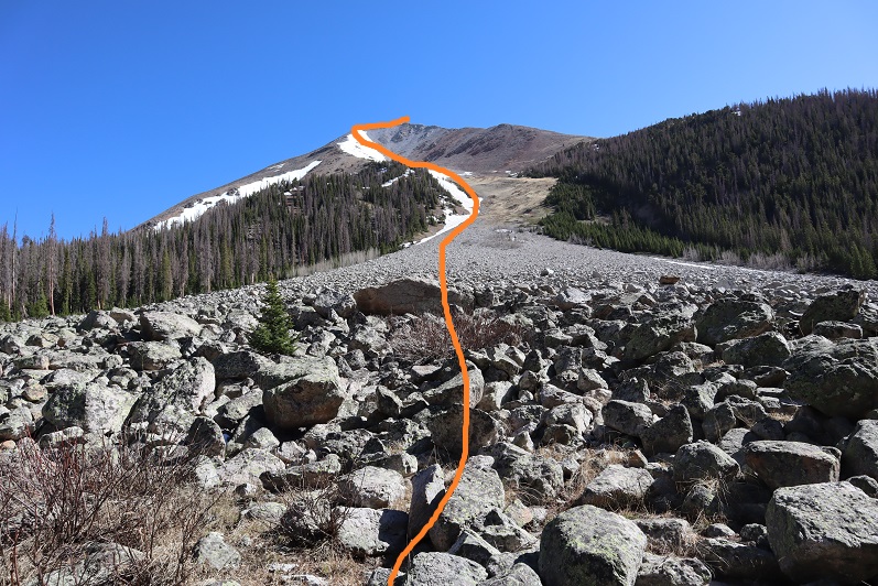
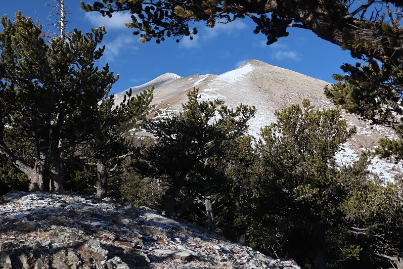
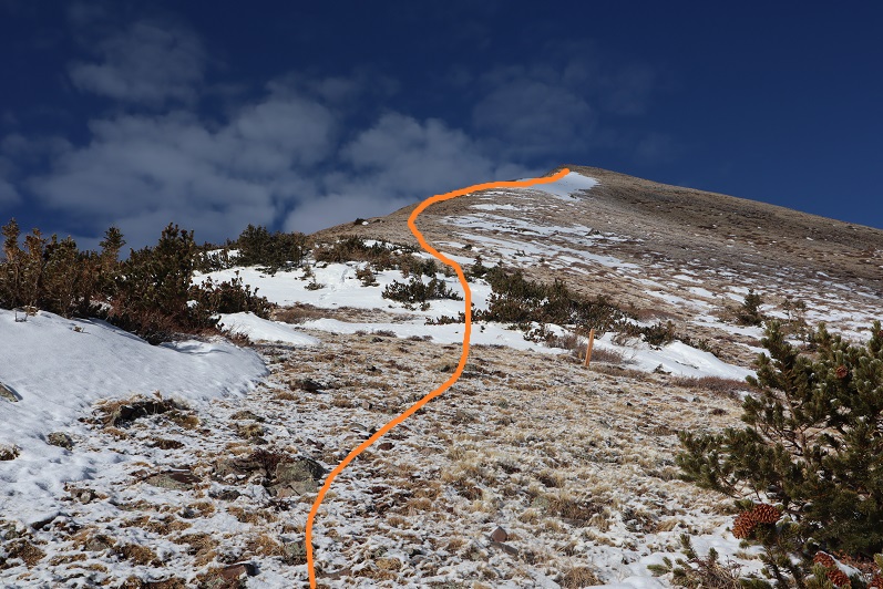
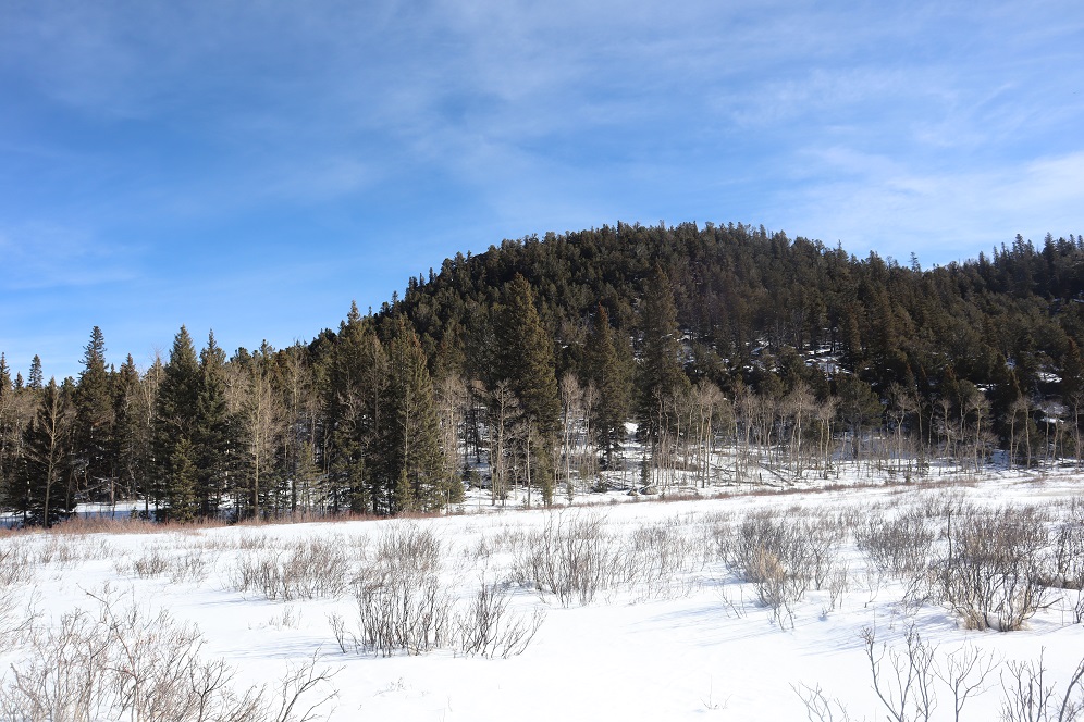
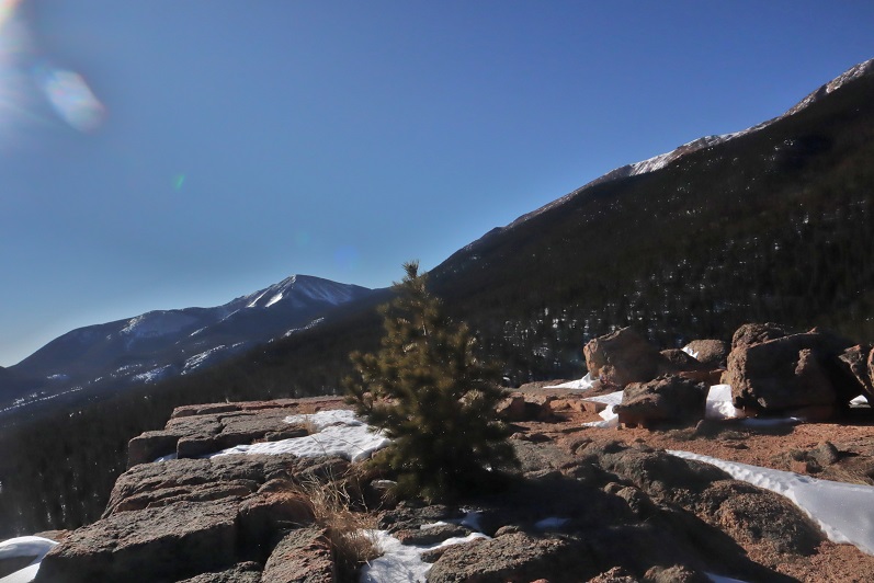
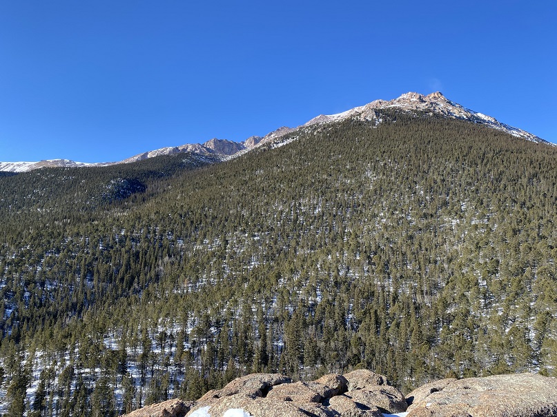
This trip started out as a summit attempt on Homestake Peak, but it ended with an unexpected trip to the 10th Mountain Hut.
Weather all over the state either had high avalanche danger or high winds, so I settled on hiking Homestake Peak today, with a frigid forecast but only 5-10mph winds and no cloud cover. Or, so I thought. I arrived at the trailhead and put on my gear, including snowshoes, inside my truck.
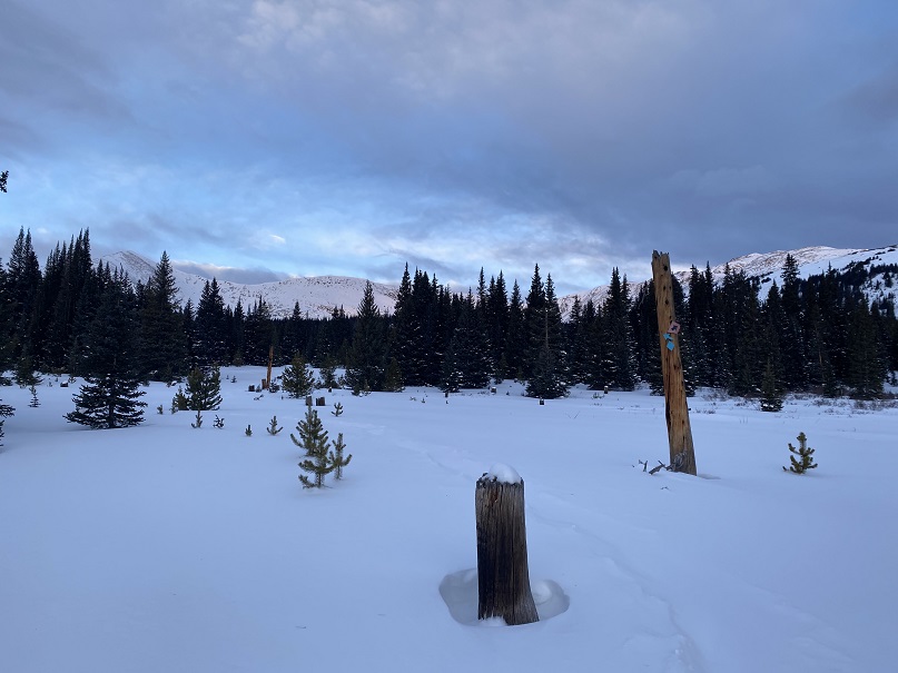
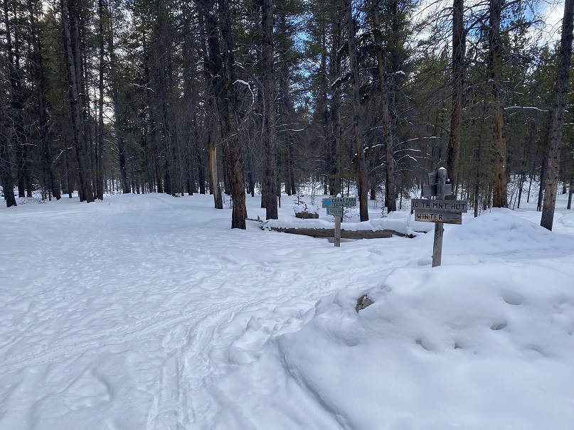
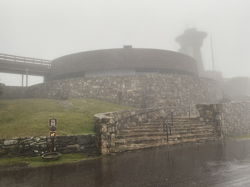
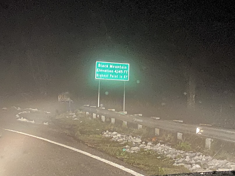
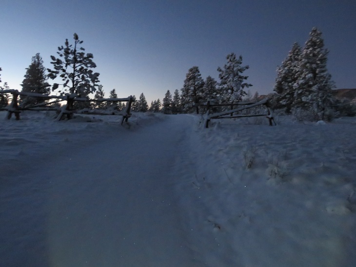
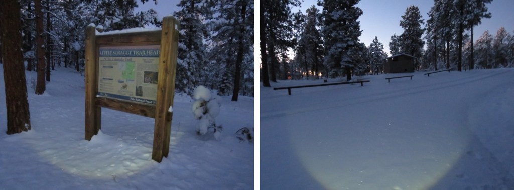
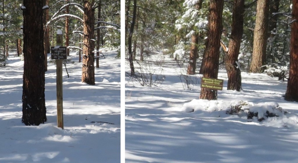
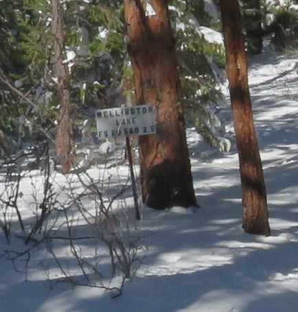
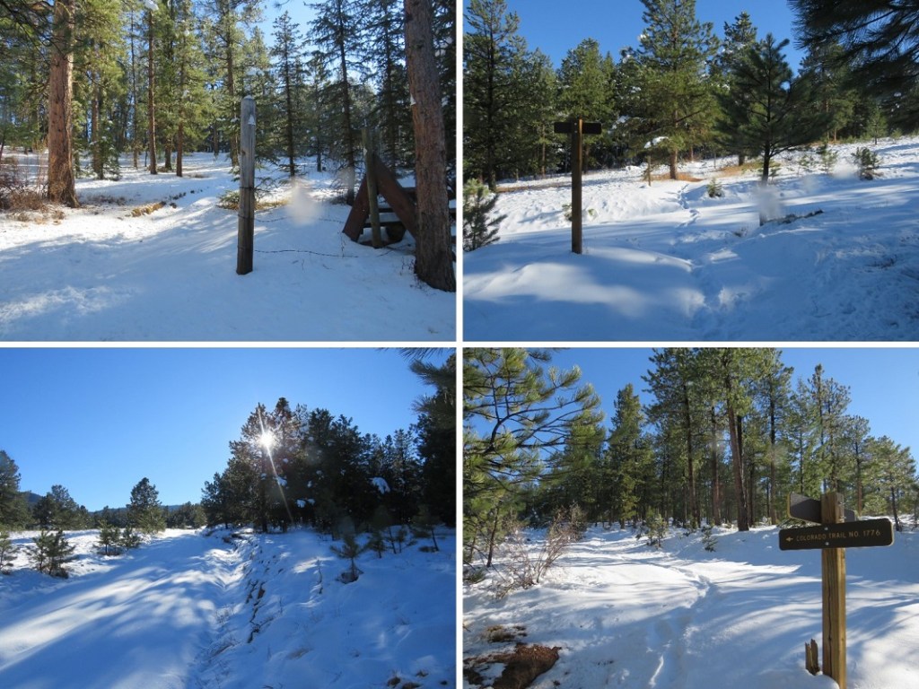
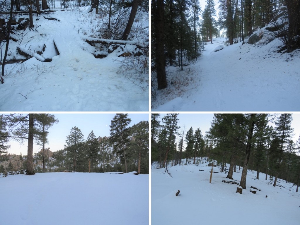
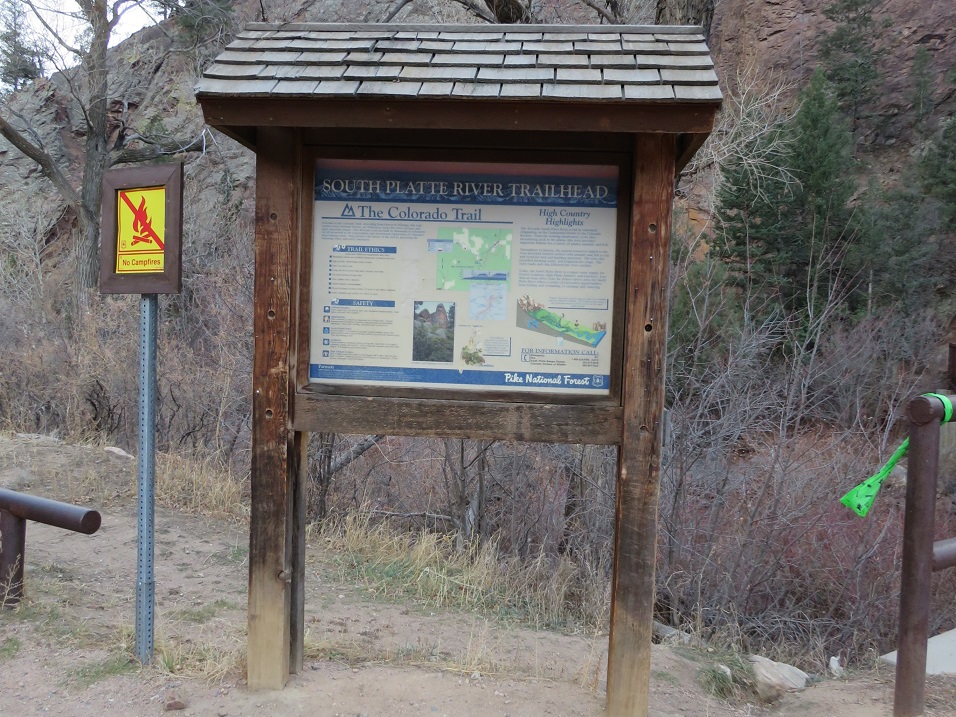
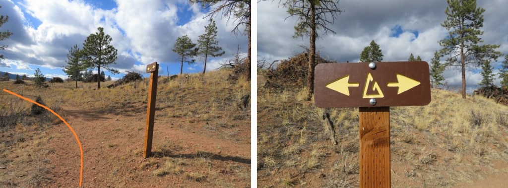
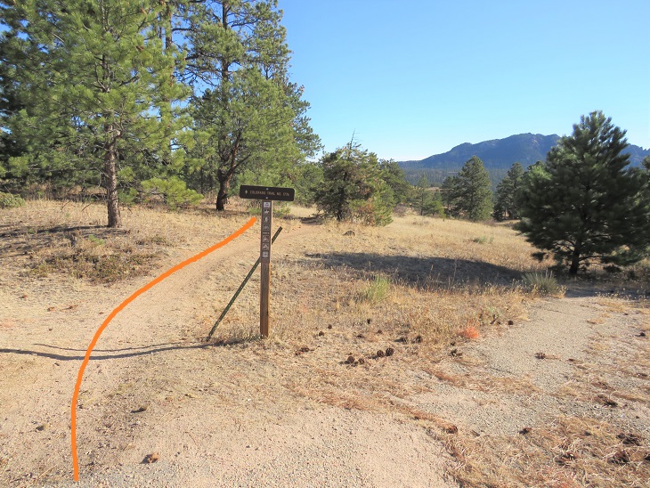
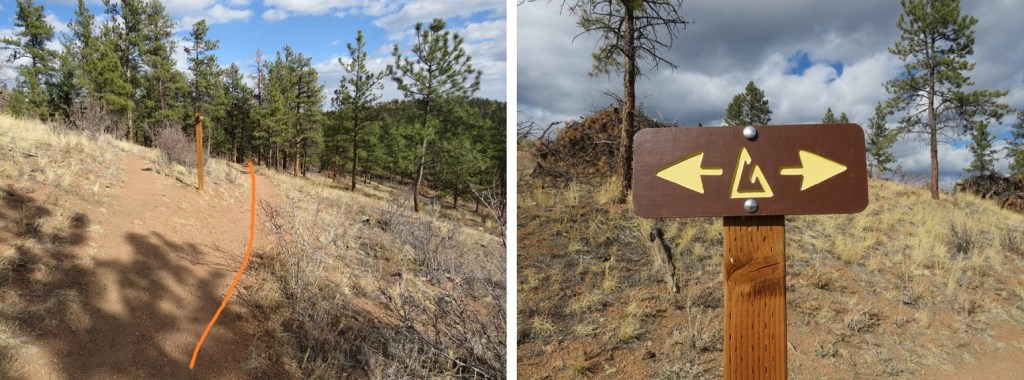
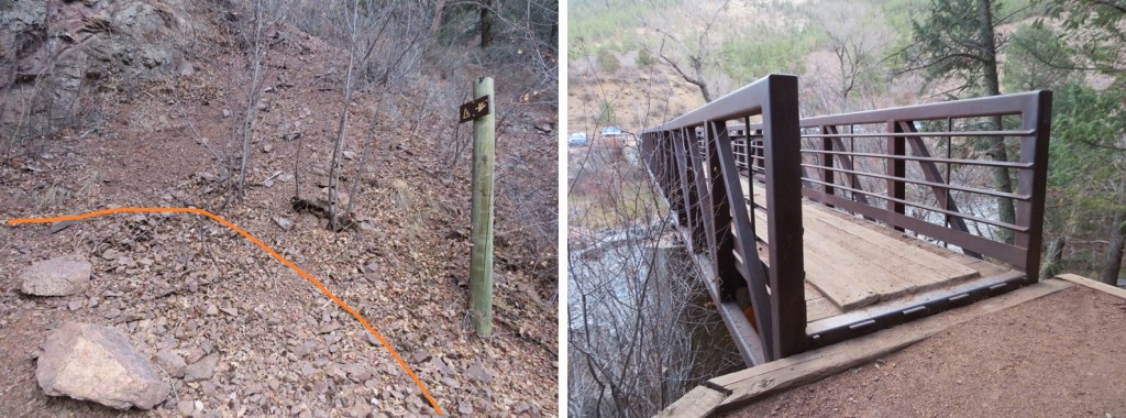
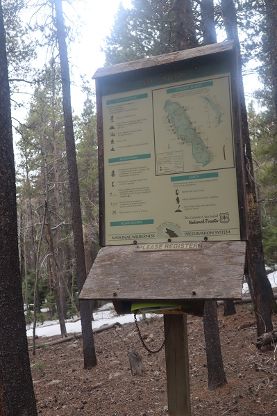
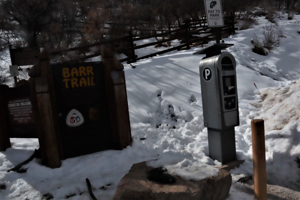
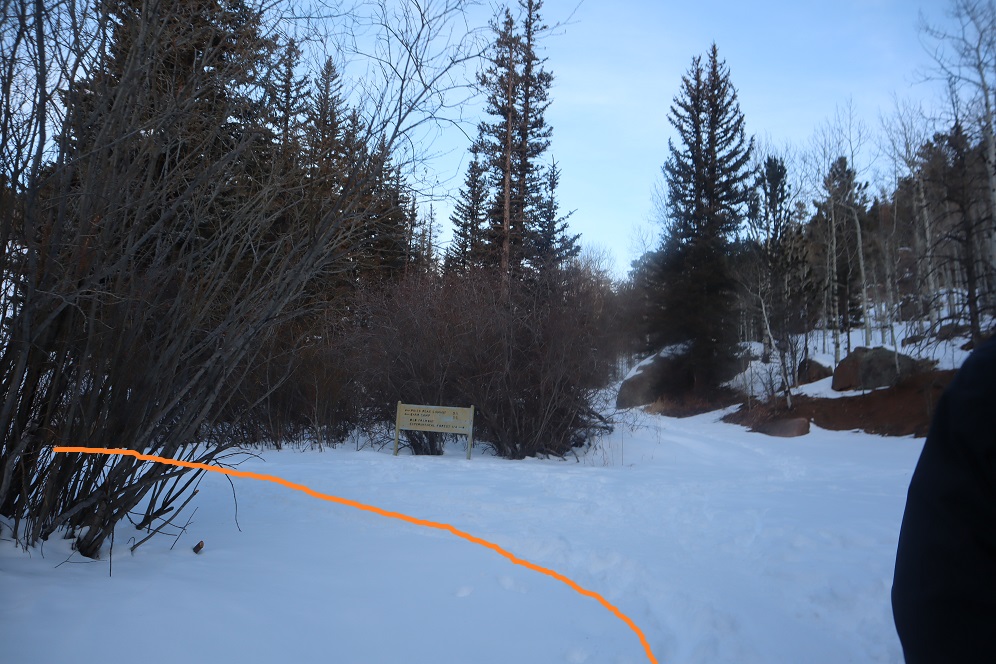
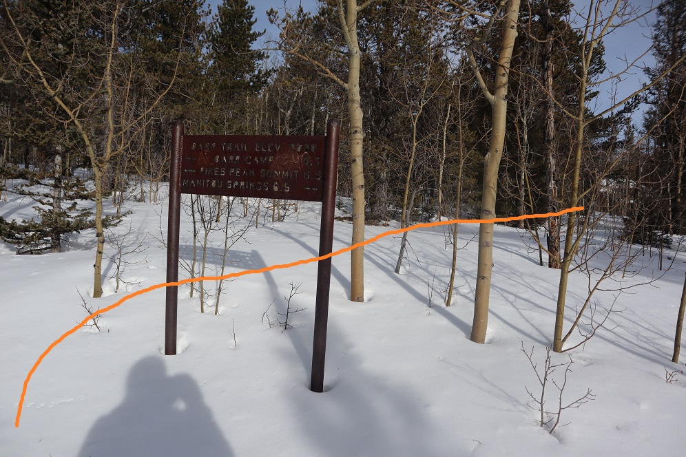
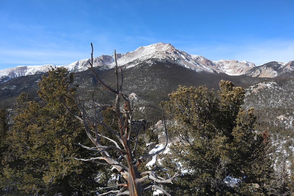
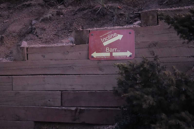
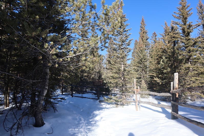
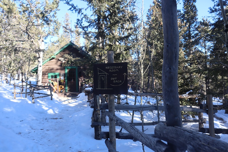
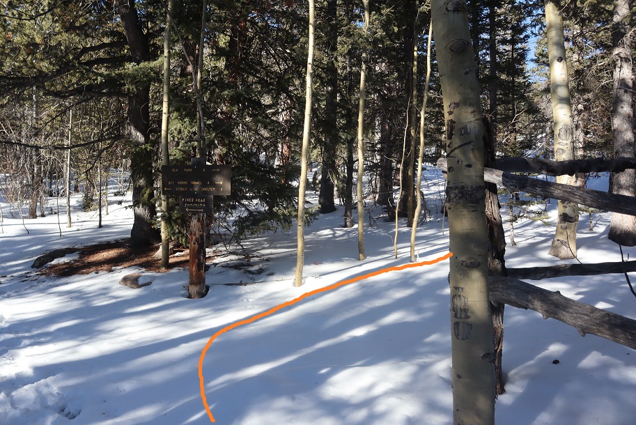
There were some cool signs in the area
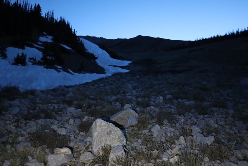
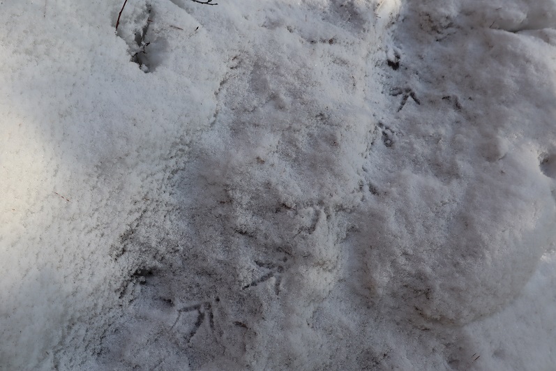
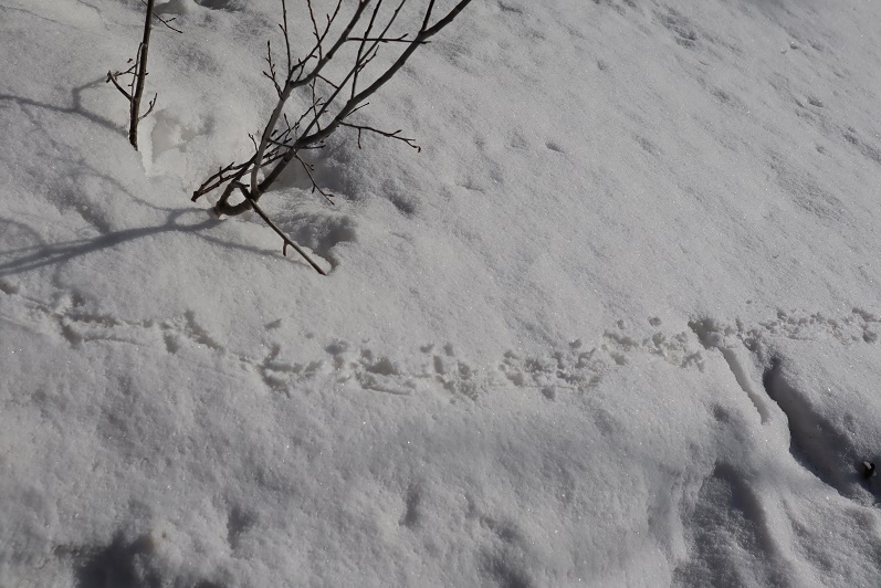
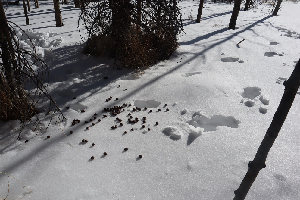
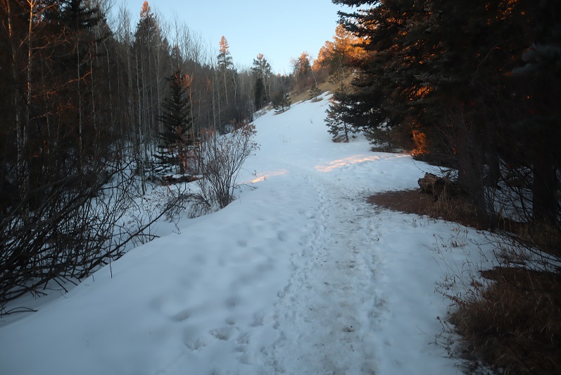
I was on the trail when it was still dark, and noticed tracks coming towards me, presumably made earlier in the night. I’m guessing they’re coyote
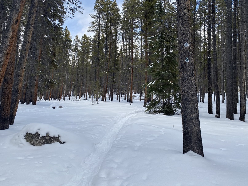
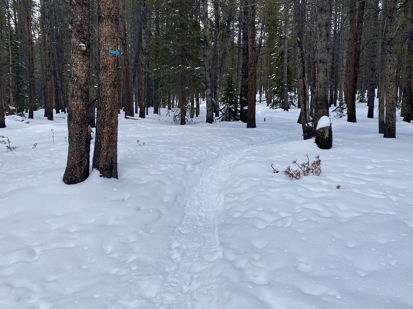
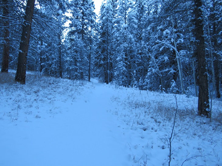
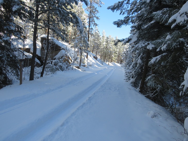
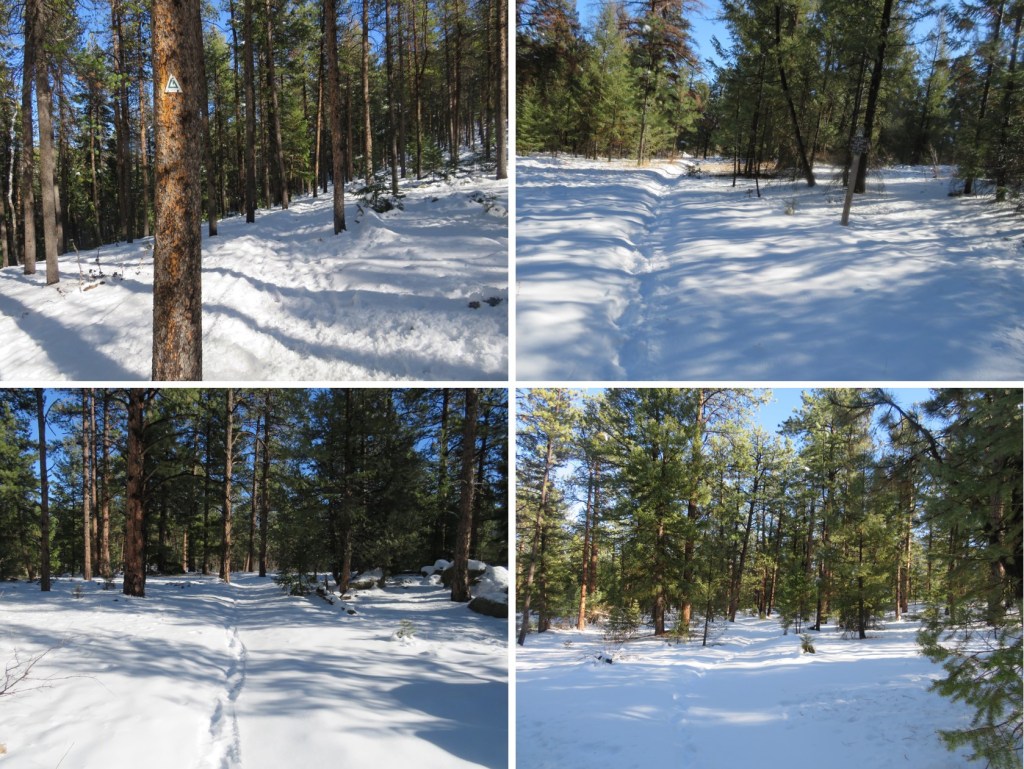
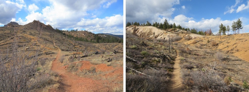
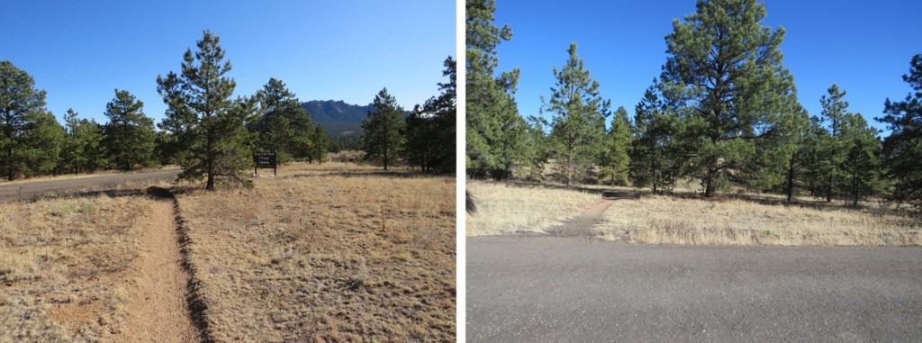
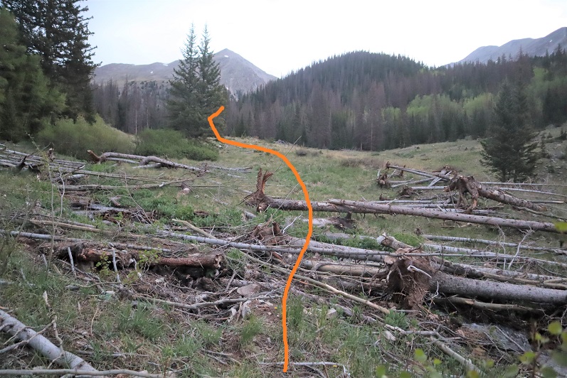
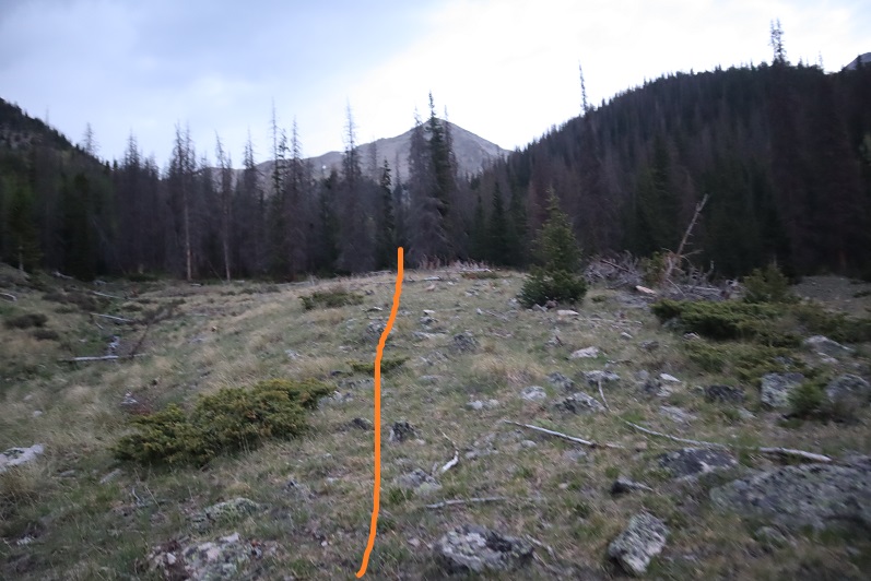
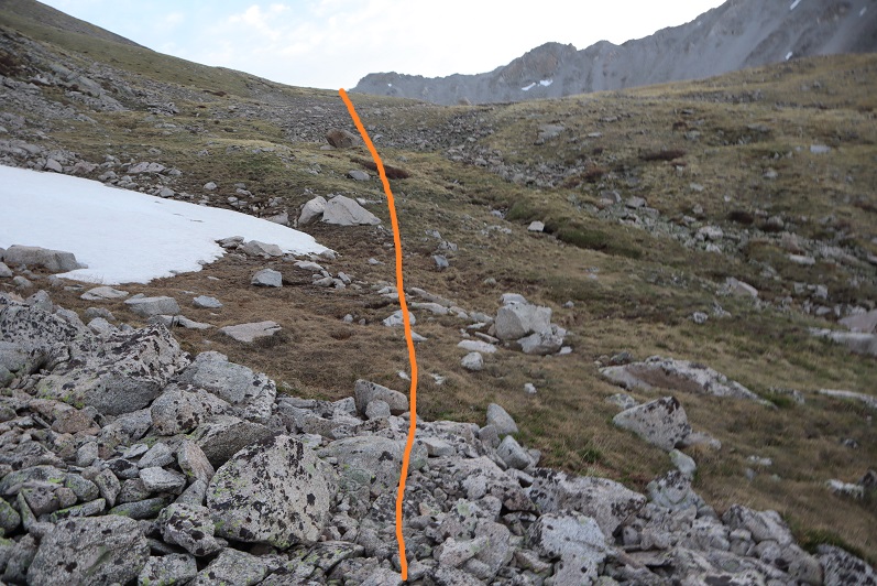
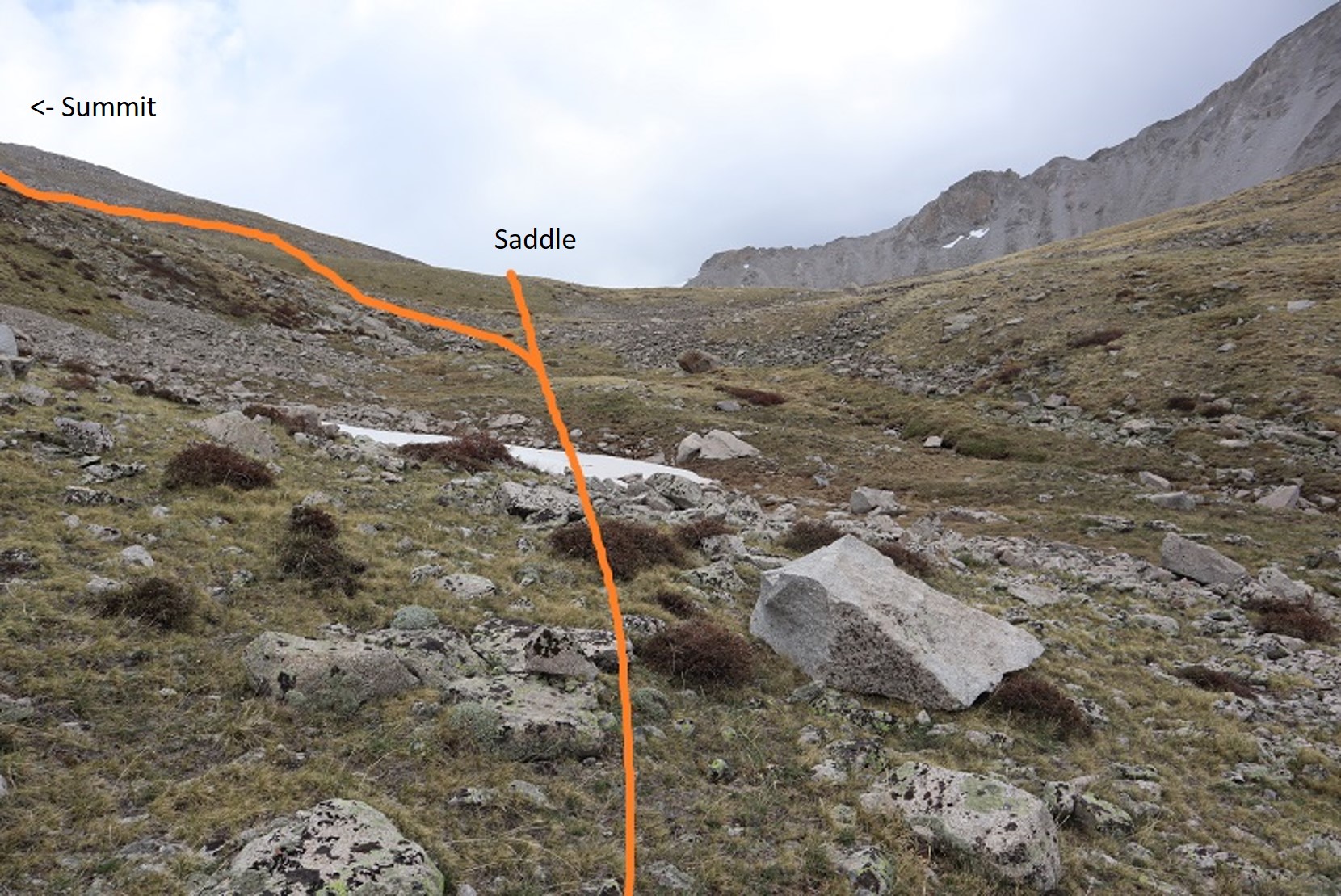
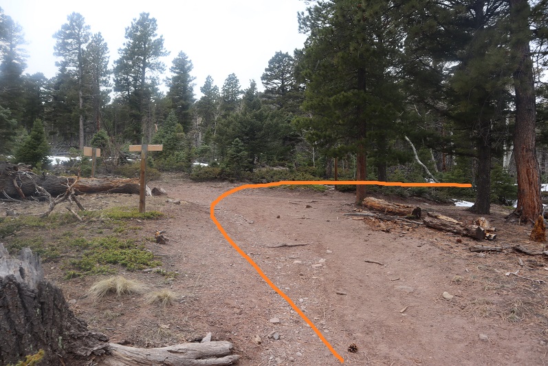
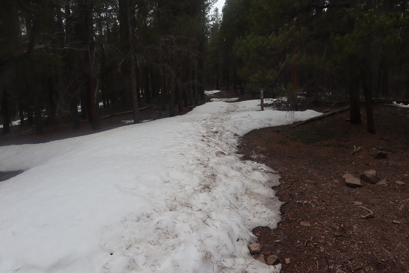
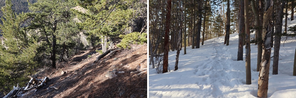
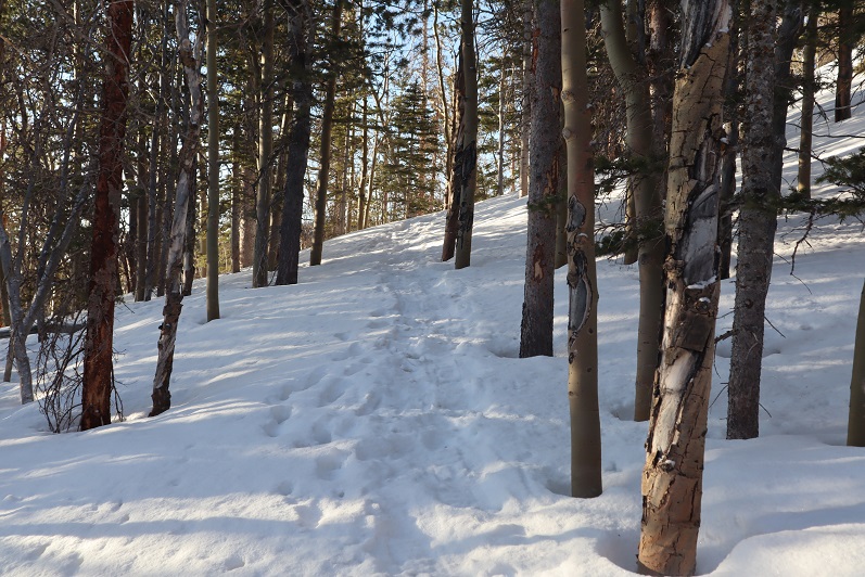
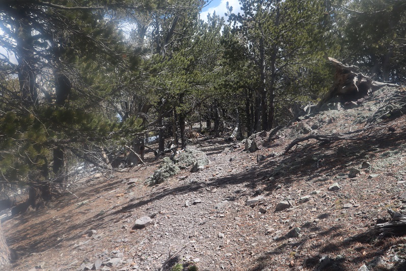
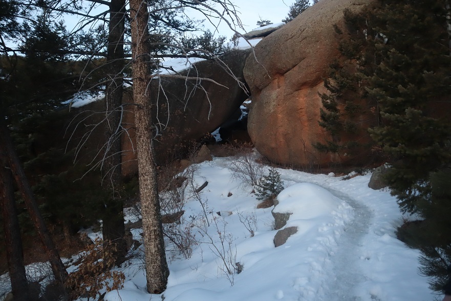
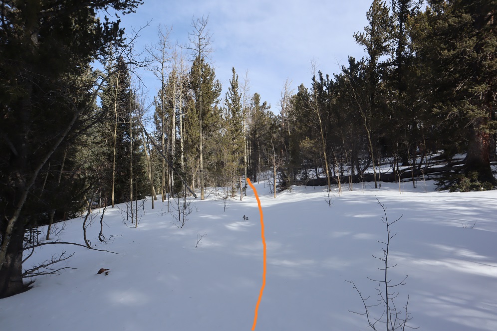
I followed the well-marked trail, using the blue diamond route
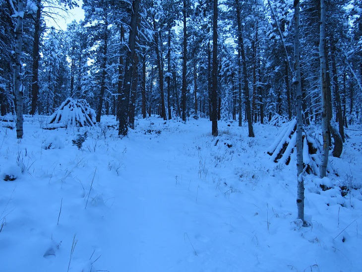
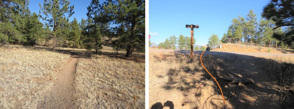
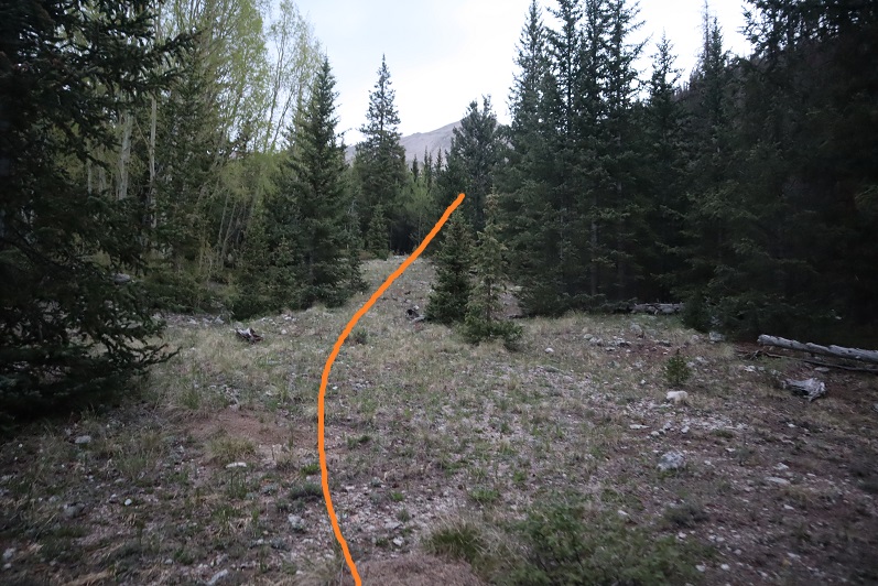
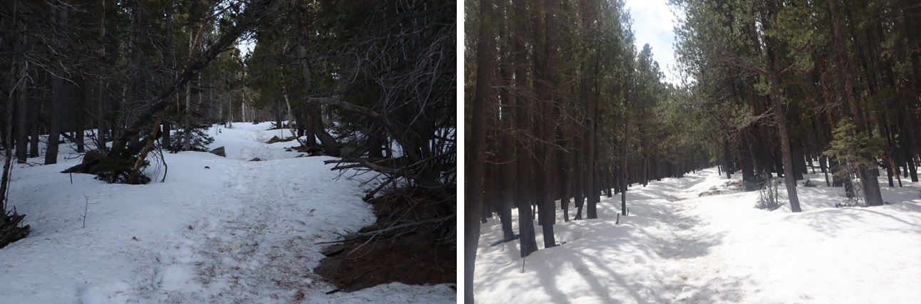
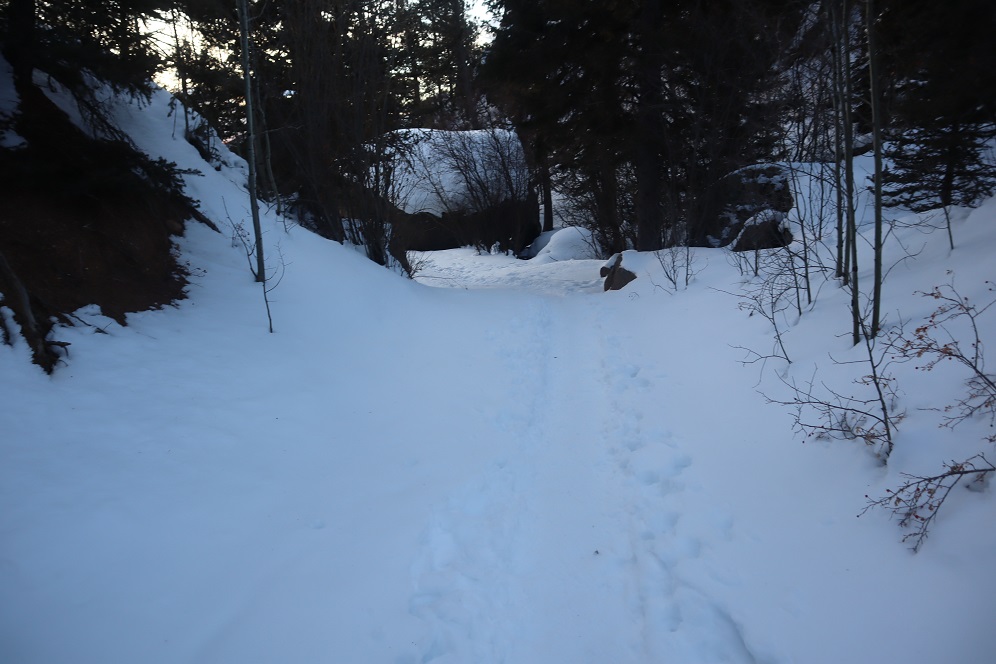
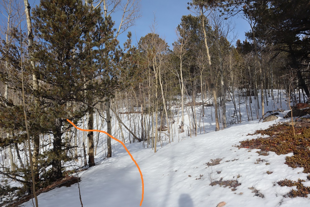
And then following the route to the 10th Mountain Hut (still blue diamond/arrows).
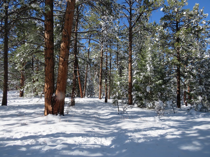
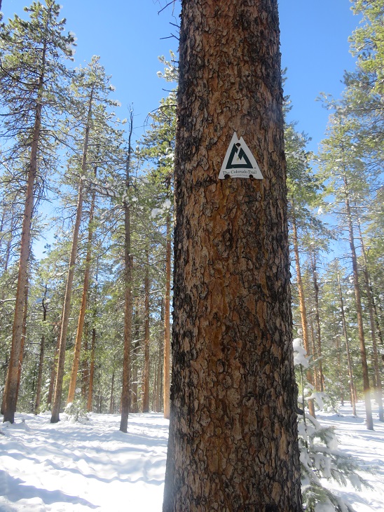
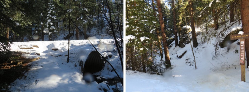
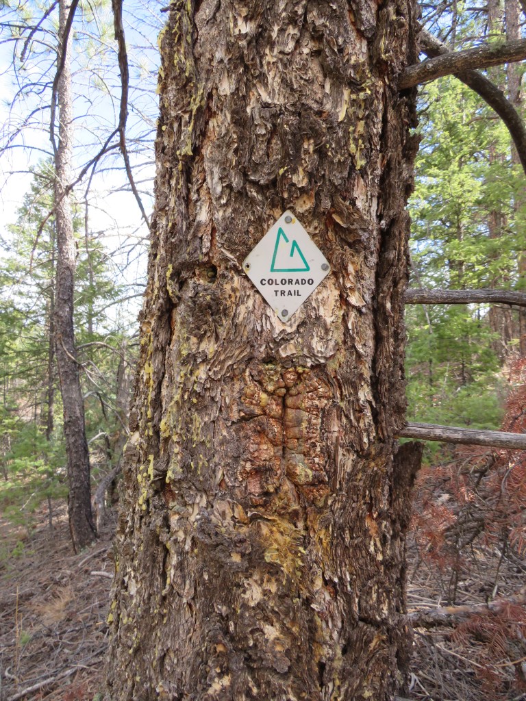
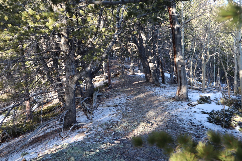
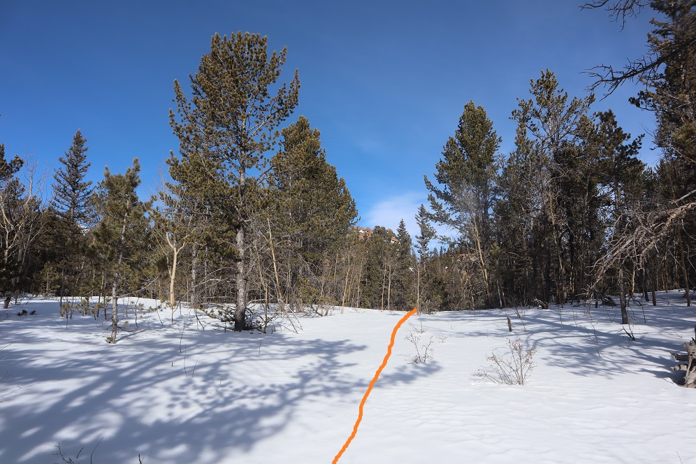
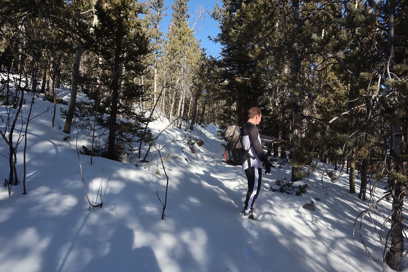
Here I was following the Colorado Trail. It was just a for a short time, but still kind of cool to be back on the trail for a bit.
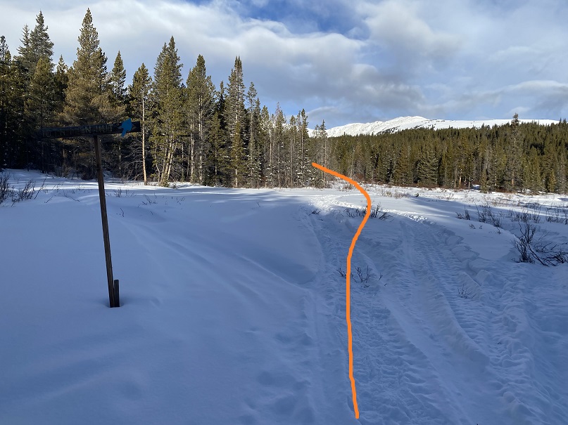
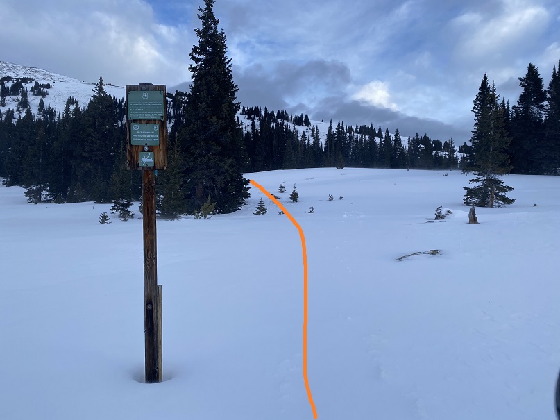
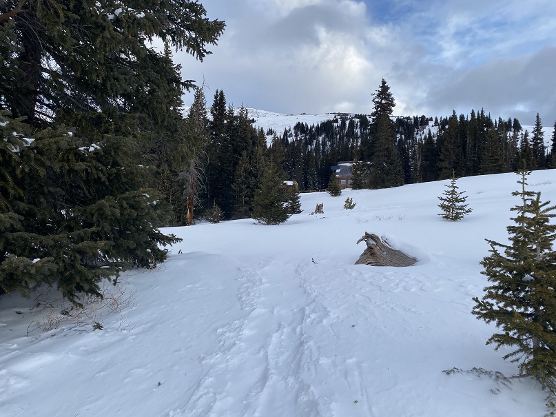
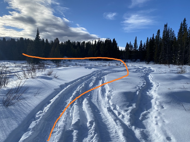
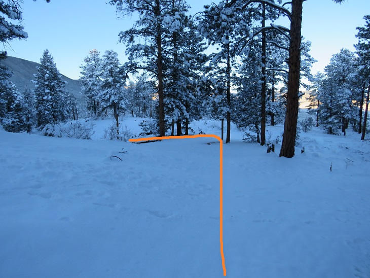
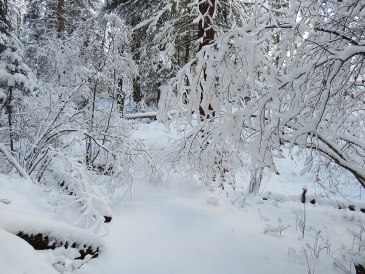
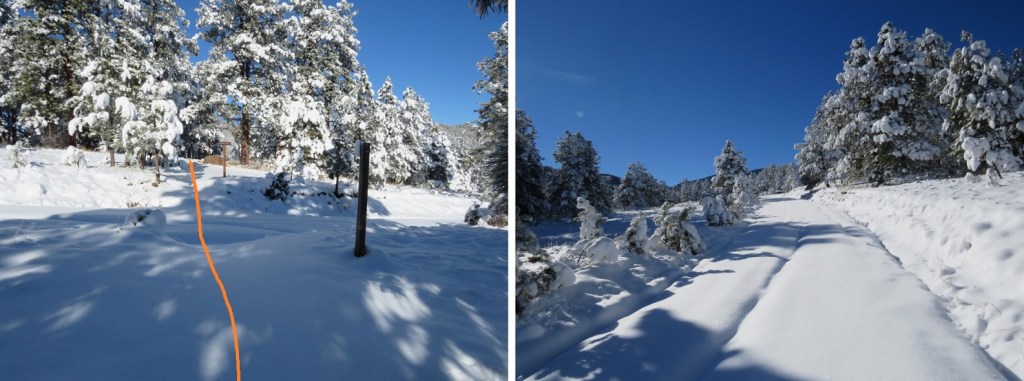
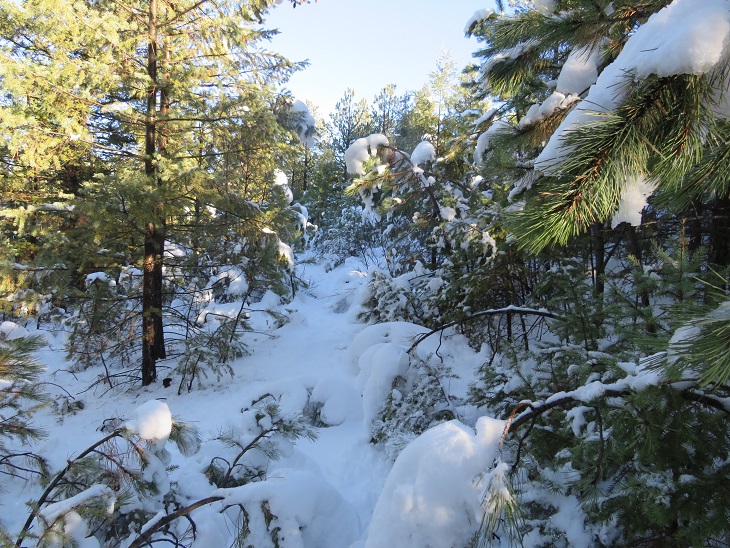
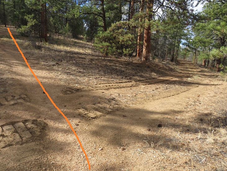
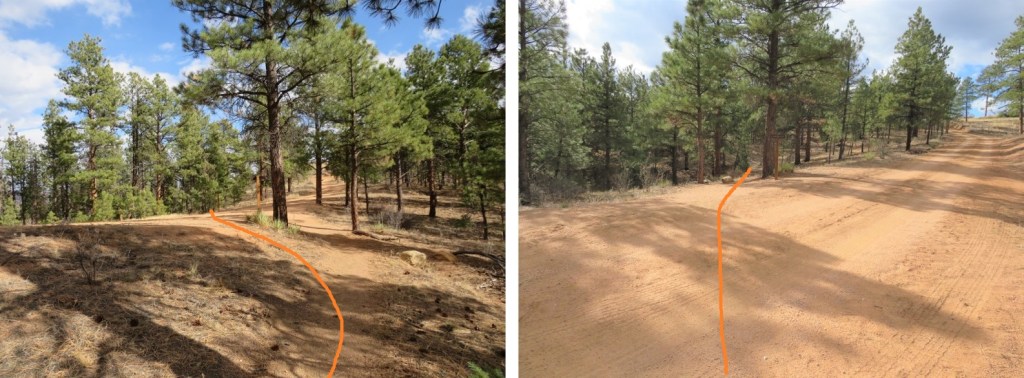
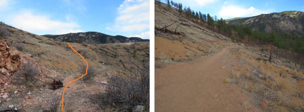
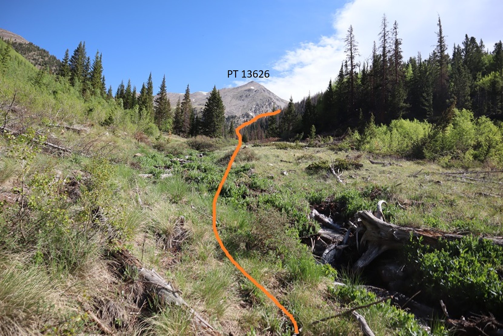
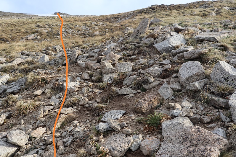
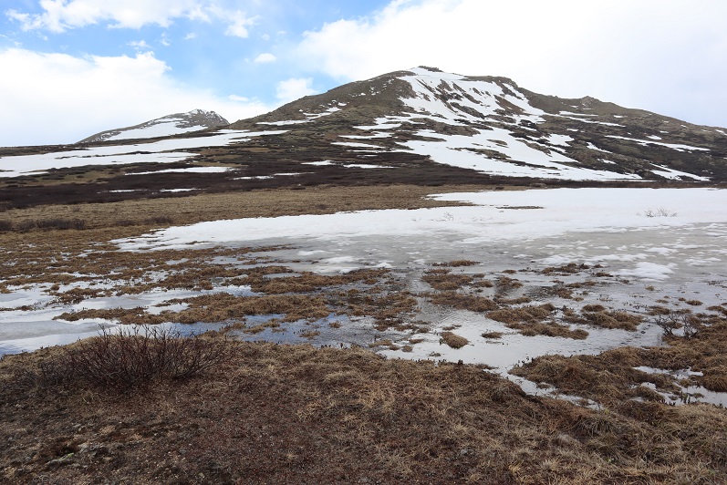
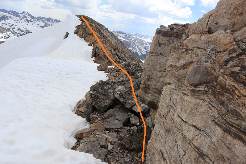
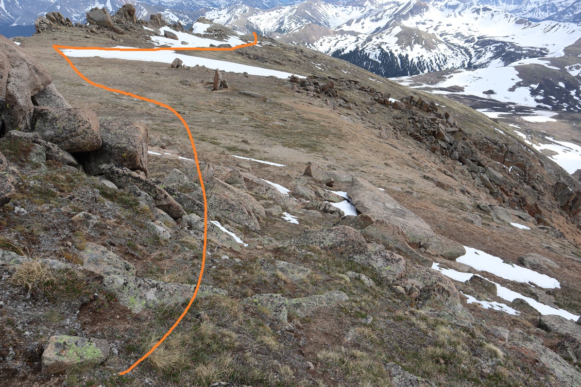
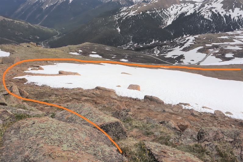
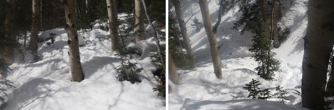
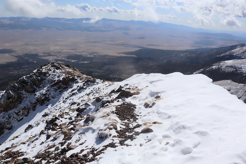
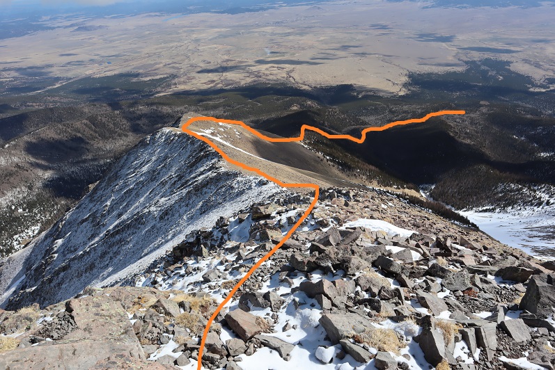
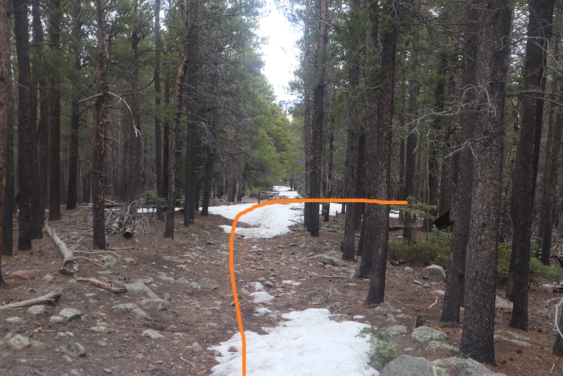
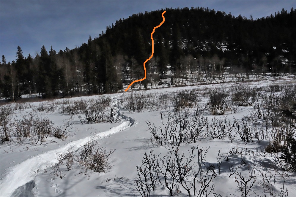
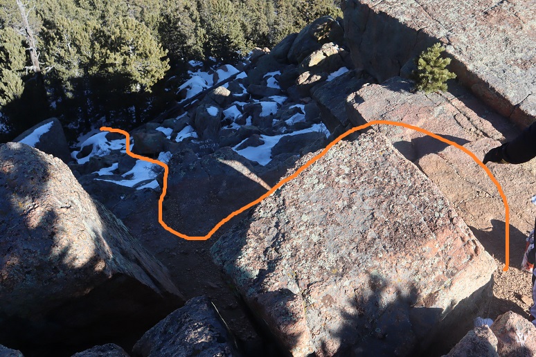
The trail was easy to follow until I came to a meadow. I was supposed to take the route outlined below, but the snow was too soft in the willows.
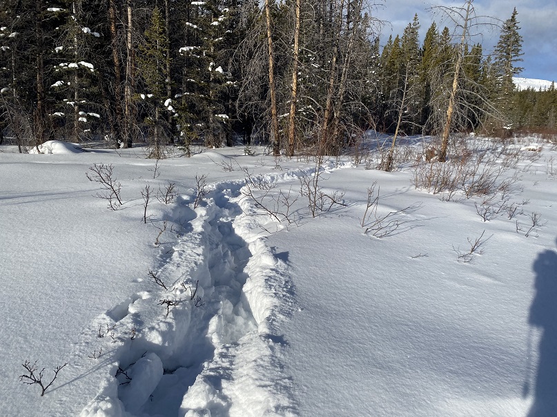
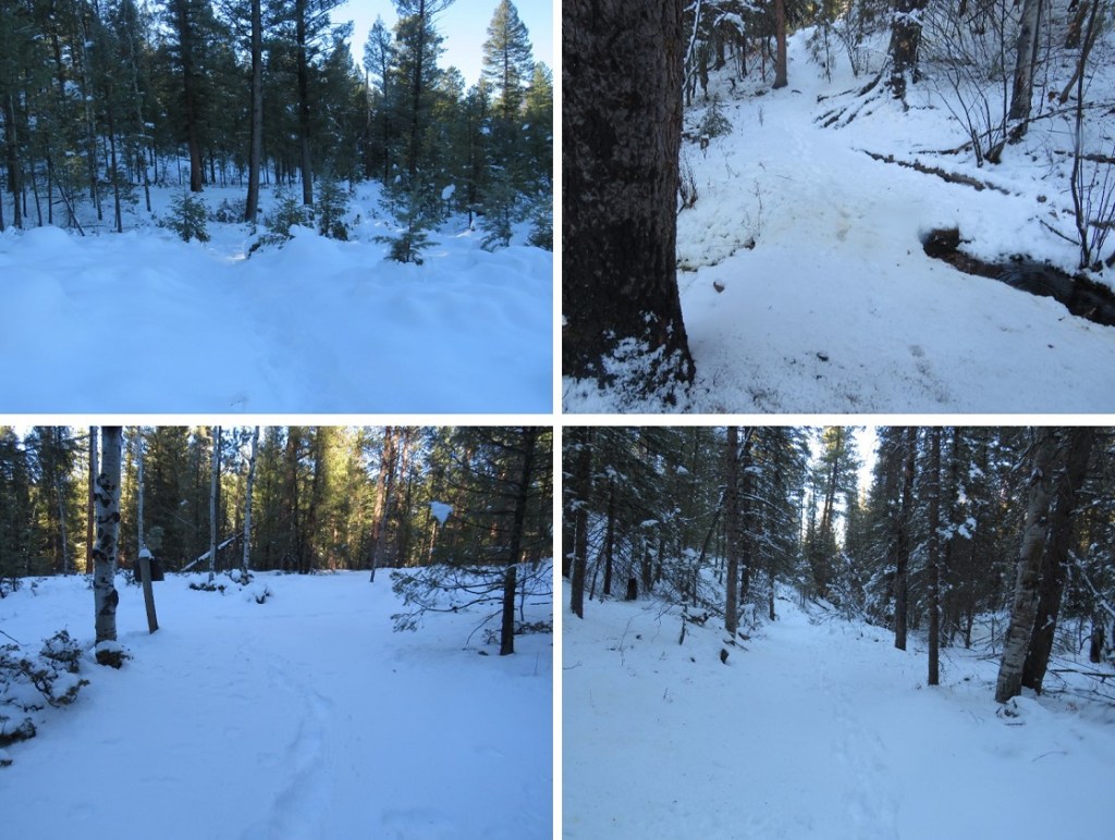
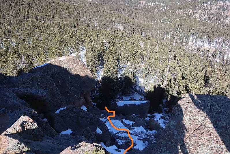
I ended up zig zagging back and forth, trying my best to follow deer/elk tracks. I kept falling into invisible streams covered in several feet of snow. At one point my phone froze and I was unable to unlock the screen to see where I should have been going. My stylus wasn’t working in the cold either. Several times I sank up to my chest in snow, and after the third time getting my snowshoe caught in debris that immobilized me I decided to call it and head back to the trail. I wanted to try to find another way to summit: the conditions in the marshy area were just not safe. I could see myself twisting an ankle or breaking a leg on this route. Here’s my route out of the willows.
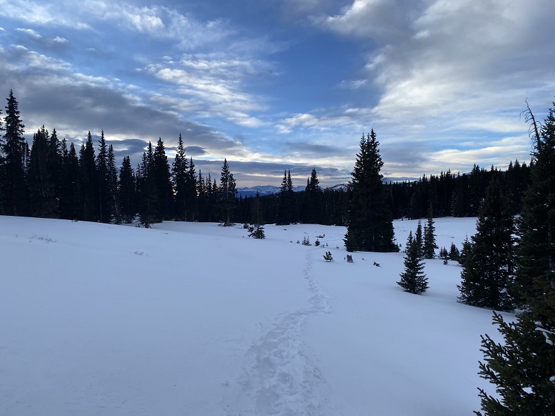
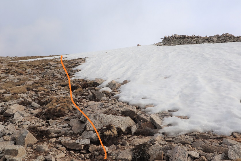
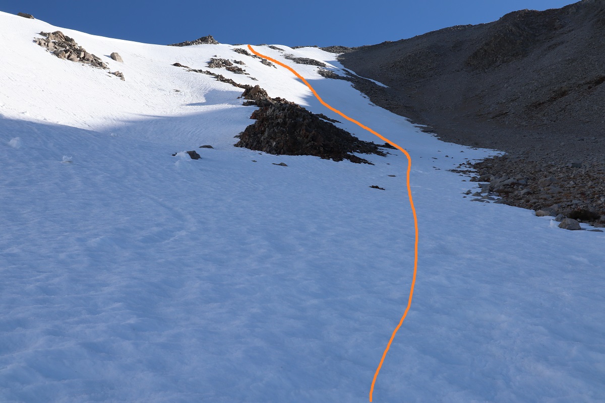
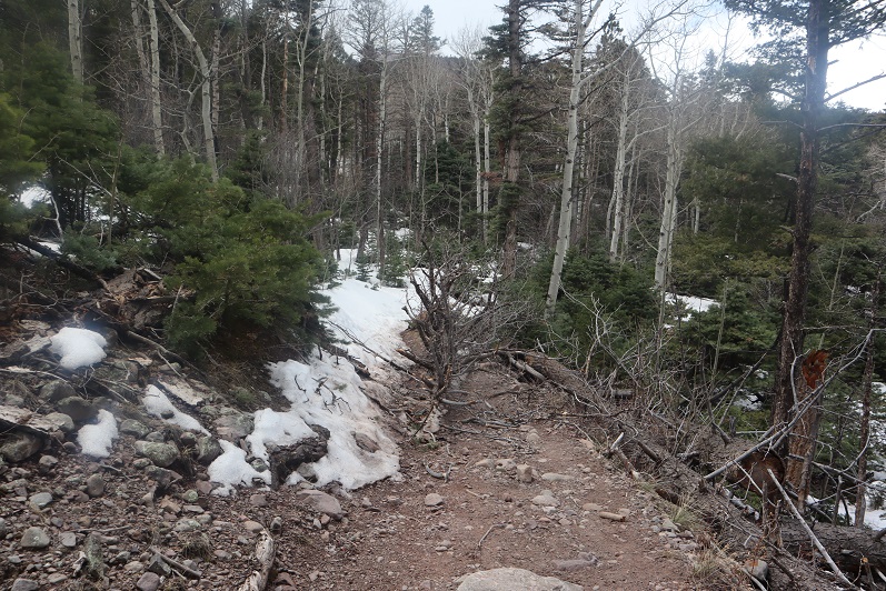
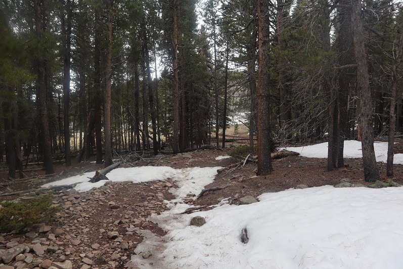
I didn’t want my day to be over, so I decided to follow the tracks to see where they led. They continued to follow the blue diamonds.
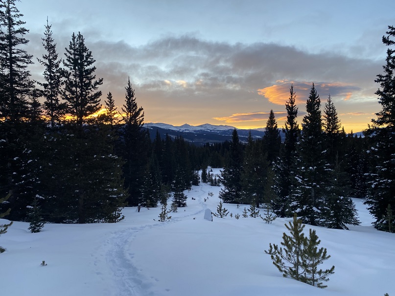
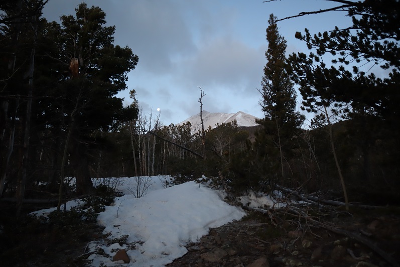
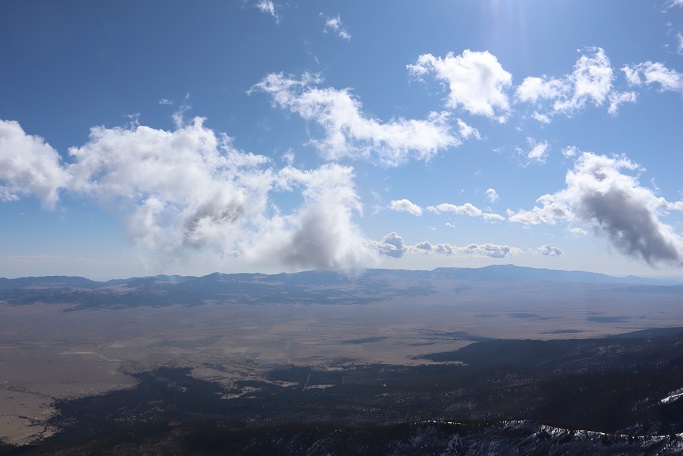
Right about now the sun was beginning to rise, and I could see it wasn’t going to be a cloudless day. The clouds made for a beautiful sunrise though!
As the sun rose the wind picked up. I could see snow swirling all around me, which was pretty cool. I also knew I needed to be more to the southwest if I wanted to attempt Homestake Peak today, but every time I tried to cross the snow and head southwest I sank up to my chest in the snow. That snow was seriously deep, and sugary. I’d need skis to attempt a safe crossing (I don’t own skis).
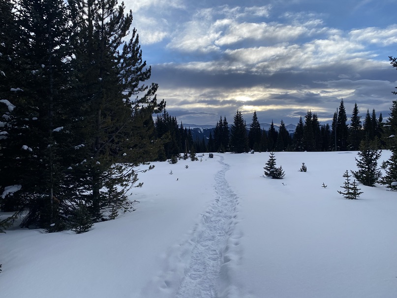
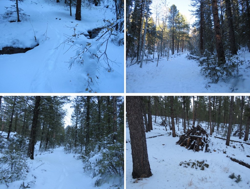
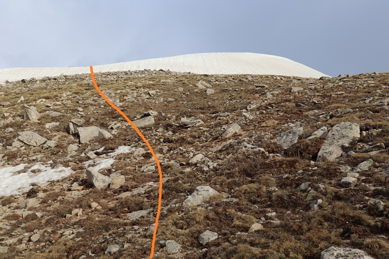
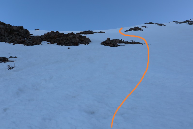
I could also tell the clouds were increasing, and by looking at how fast they were moving, they weren’t going 5-10 mph (more like 40mph or so). Here the well trenched trail ended, but I could see a faint line of where it had been a few days ago and decided to re-trench the trail to see where it went.
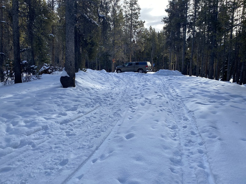
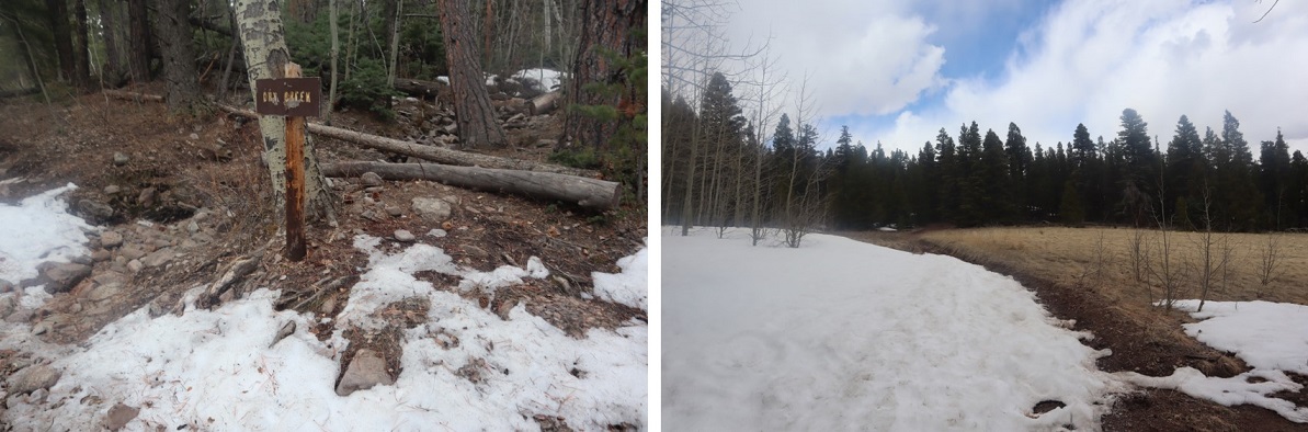
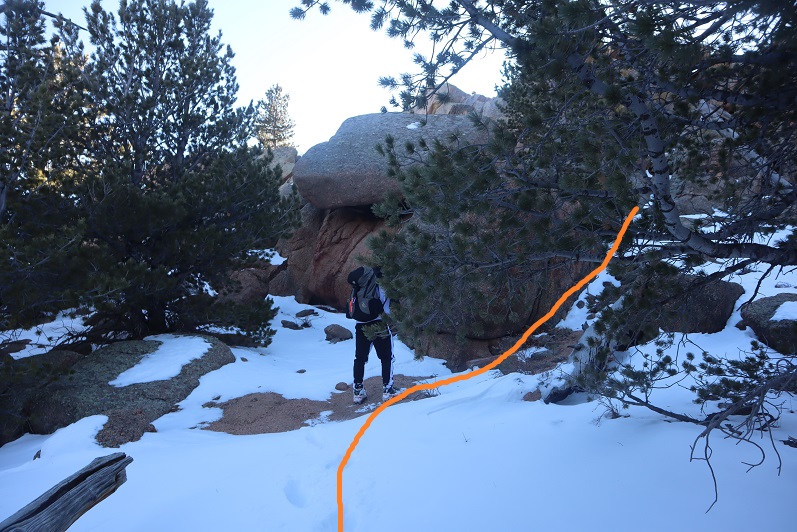
I came to a small sign, stating no snowmobiles were allowed past this point, and continued heading northwest.
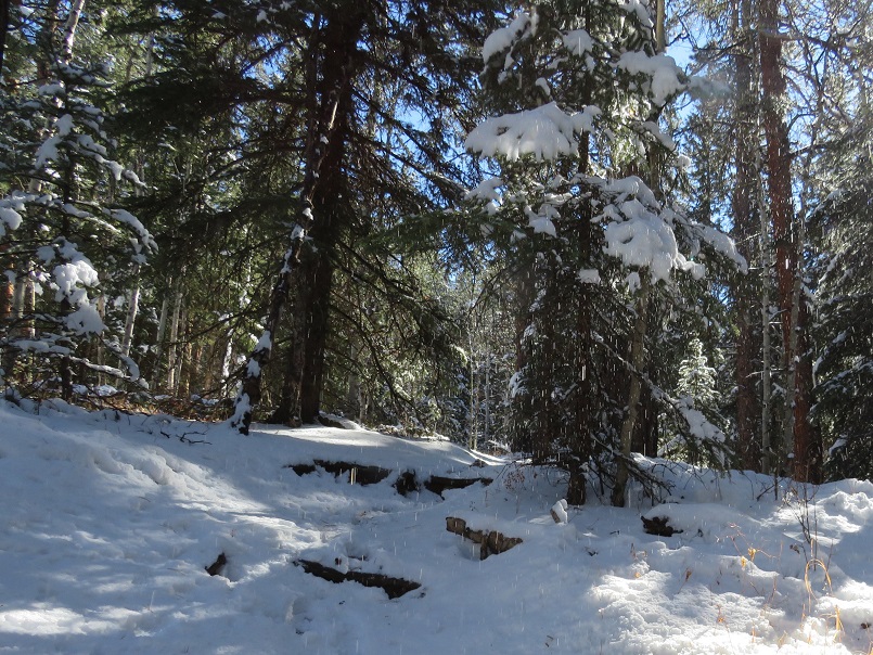
Just after the sign I came to the 10th Mountain Hut! So cool!
I wanted to take a look around, but as I got closer I could see people moving about inside and decided to leave them be. They looked like they were packing up to head back out. They must have trenched in on Friday, and I’m sure they’d be excited when they noticed I’d re-trenched their way out.
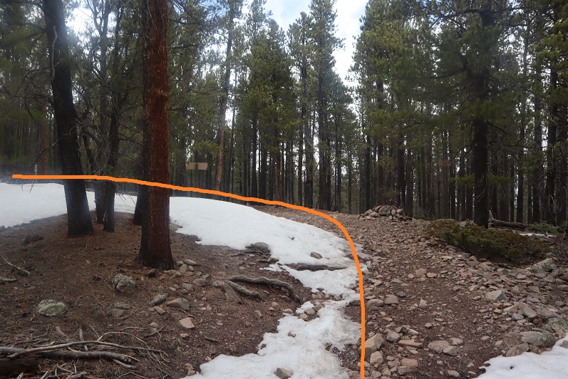
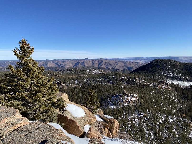
Heading back was easy, as I just followed my tracks
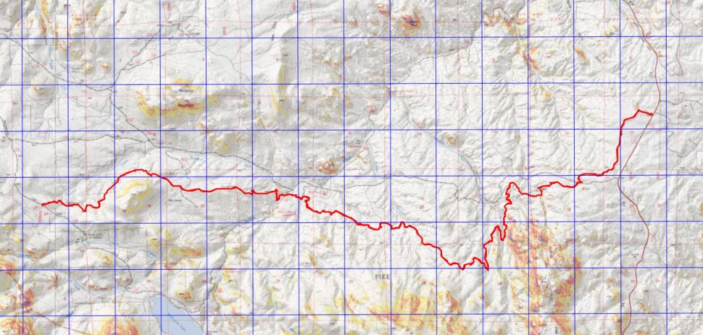
I made it back to my truck at 9:15am, making this a 9.06 mile hike with 1456’ of elevation gain in 4 hours
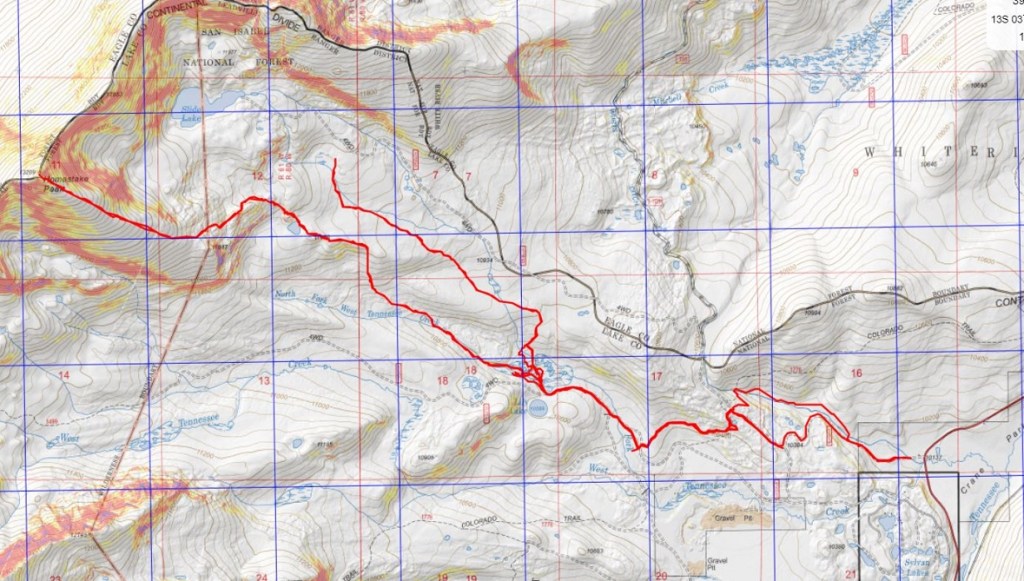
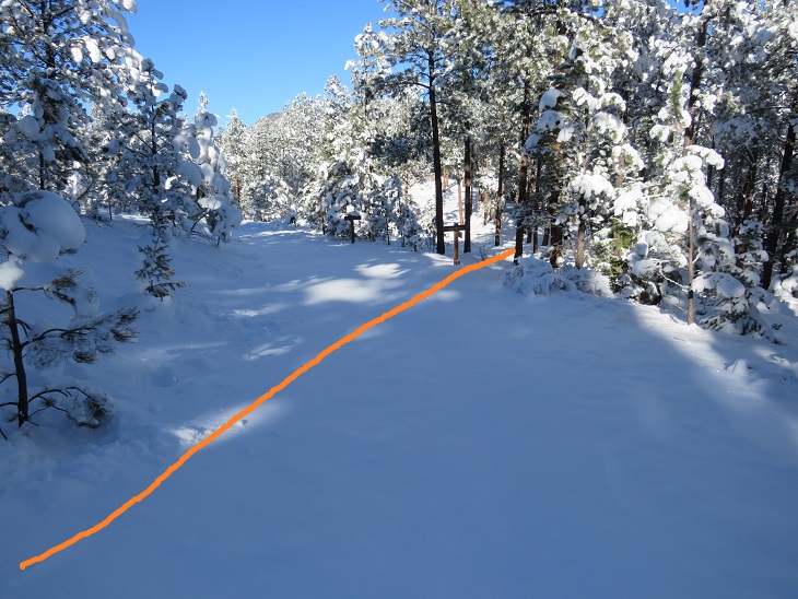
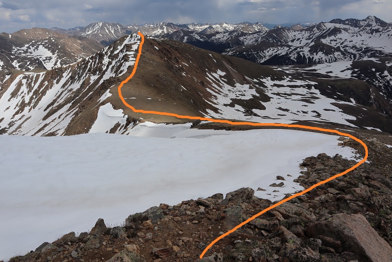
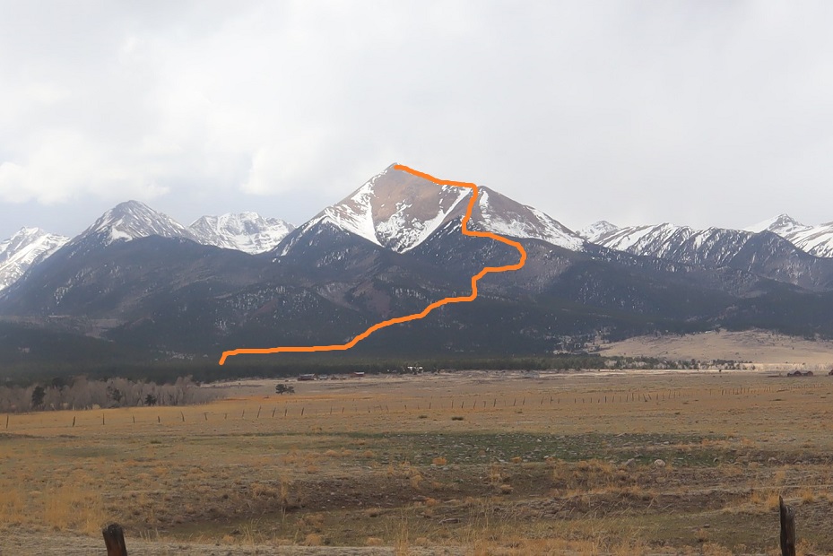
Here you can see my intended route (bottom) and the route I actually took (top)
As I drove home the winds became more intense. There were semis parked on the side of I70, waiting out the wind. Yes, it had been a good idea to switch directions today. While any day out hiking is a great day, I wasn’t happy with today’s stats, so after making it home I hopped on the treadmill.
We’ve had this trip for months, and in October had to re-scheduled it due to COVID concerns. I was a bit worried we were attempting some of these peaks too late in the year, and, unfortunately, ended up being right about that. Many roads we encountered were closed, even though their status showed as ‘open’. No matter though, we still had a great, whirlwind weekend where we were able to get in 5 Highpoints. Originally, we’d planned on 8 (and called them the ‘bowtie 8’ because our drive would go in a bowtie pattern). The weather had other plans.
We flew into ATL, arriving around 11am. The flight had been uneventful, the airport was crowded, and it seemed to take forever to make it to ground transportation (several trains were involved). When we arrived there was an hour wait at the Enterprise counter to get our vehicle (they wouldn’t let me use the kiosk because I was paying with a debit card instead of a credit card). On a positive note, we received an upgrade on our vehicle, and we were able to choose any vehicle in the row. We ended up picking a Nissan SUV so we could sleep in the back, which ended up being much more comfortable than our last trip, where we slept in the front seats.
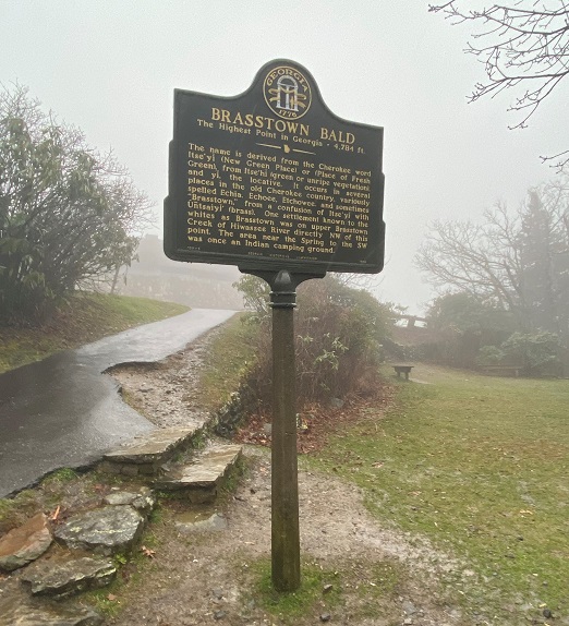
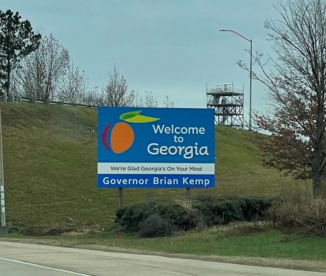
We were on our way around 1pm. First stop: Brasstown Bald, Georgia’s Highpoint. It rained the entire way there, and when we arrived, the parking area was shrouded in clouds.
I wasn’t even sure we were in the right place, but after getting out my directions I realized it was a half mile walk up a closed (but paved) road. We paid the $3 per person entry fee and parked.
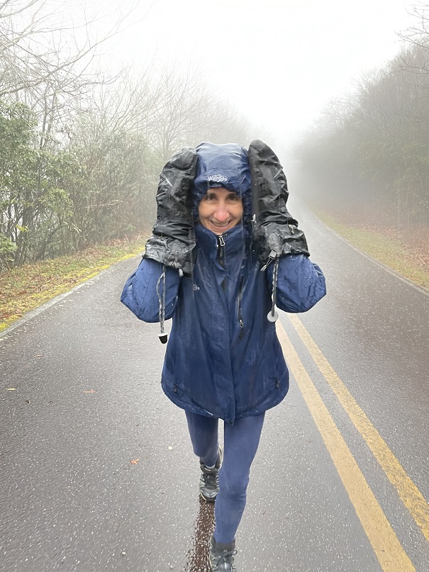
The weather was miserable, so I put on my hat, jacket, and heavy-duty gloves and we were on our way, walking up the road.
The walk up this road was easy, but in today’s conditions, miserable. It wasn’t quite snowing yet, so we were getting soaked from the rain. It was bitterly cold. Water was running down my gloves and I had to pull my jacket hood so tight I could only see a few feet in front of me. I much prefer snow to rain.
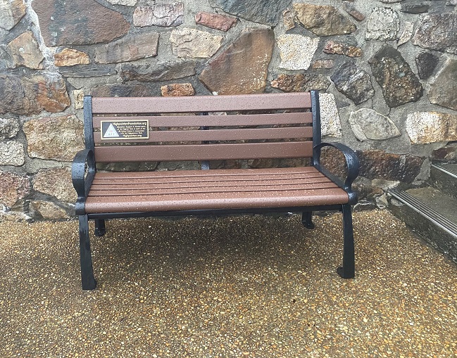
At the top of the hill was a plaque and a sitting area
And beyond that, the visitor’s center (closed)
It was no surprise we were the only ones here today, as the weather was brutal. The wind picked up as we took a look around, searching for the summit marker (side note, there isn’t one. The rangers keep it locked up inside so no one steals it). We found the Highpointers bench, and then climbed the stairs to the tower. Unfortunately, the tower was closed due to COVID.
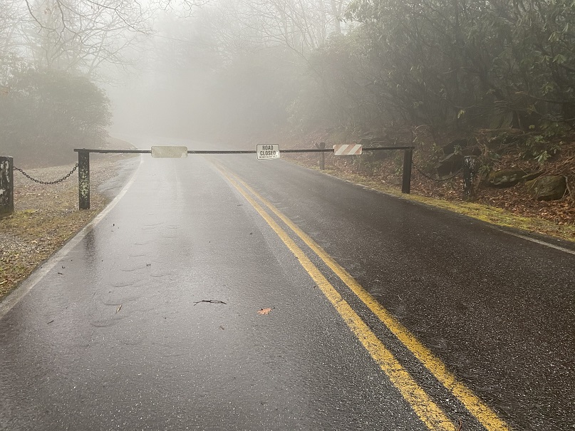
The wind picked up and it started snowing, so we decided to head back down. We rushed to the car and headed towards our second highpoint of the day: Clingman’s Dome, TN. Unfortunately, the road was closed 6.5 miles from the summit, and it was still raining, so we decided to skip this Highpoint too and instead headed to Kentucky.
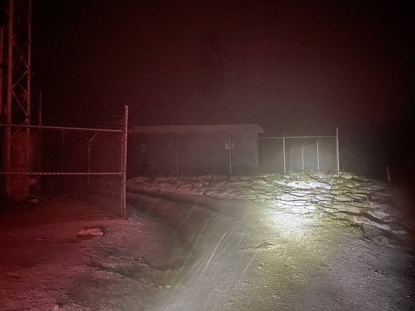
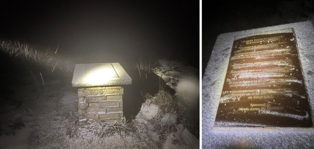
We got lost driving (this happens a lot when we highpoint, the intense 4WD road should have tipped us off) and arrived late at night, walking the short distance to the summit in snow. This highpoint is on private property, so we kept our waivers on us as we looked walked around the summit.
This summit had a tower as well, but we didn’t climb it (too clod)
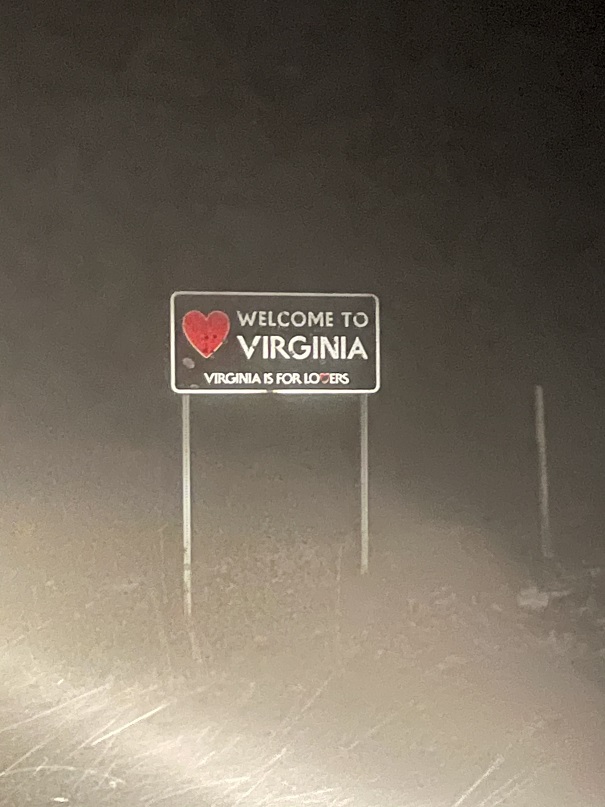
We made a mental note next time to add GPS coordinates to highpoints for our next trip, so we wouldn’t have such difficulties finding them, headed back to the car and drove to the summit we hoped to hike in the morning: Mt Rogers, VA. Passing through Gaitlinburg we noticed they were having some sort of parade/celebration, as the city was all done up in lights and there were tons of people milling about. This looked like a fun town. Maybe next time we’ll stay here when we come back for the highpoints we weren’t able to get this trip. We stopped at a grocery store for some cheese, crackers, and meat (side note: garlic ritz are the bomb) and were on our way, listening to a Harry Potter book on tape.
We arrived at 4am to the trailhead. The snow, which was supposed to stop around midnight, showed no signs of stopping. We decided to get a few hours rest and start out at first light. The wind howled and blew snow around us as we slept, or rather, tried to sleep, as we were slightly afraid the car would tip over in the wind. We were comfortable sleeping in the back with our sleeping bags and heated blanket, but the noise from the wind kept us awake. At 6am we turned on the heater, and at 7am we called it. The wind and snow were just too much for an attempt today.
On to the next highpoint!
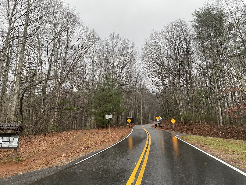
We crossed into North Carolina, and attempted to take the Blue Ridge Parkway to the summit of Mt Mitchell, but it waws closed. We then tried to take a back route, and got pretty close. The weather was nice and there wasn’t any snow on the ground, but we encountered a winter closure gate. Hmmmm. They should really publicize things. There are a lot of great dispersed camping spots here.
No worries though: on to the next highpoint!
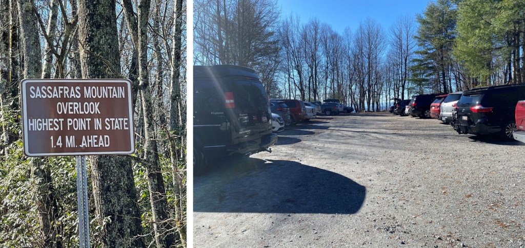
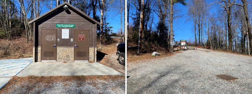
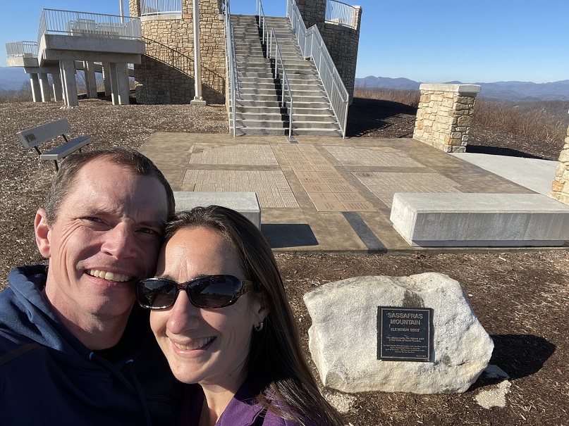
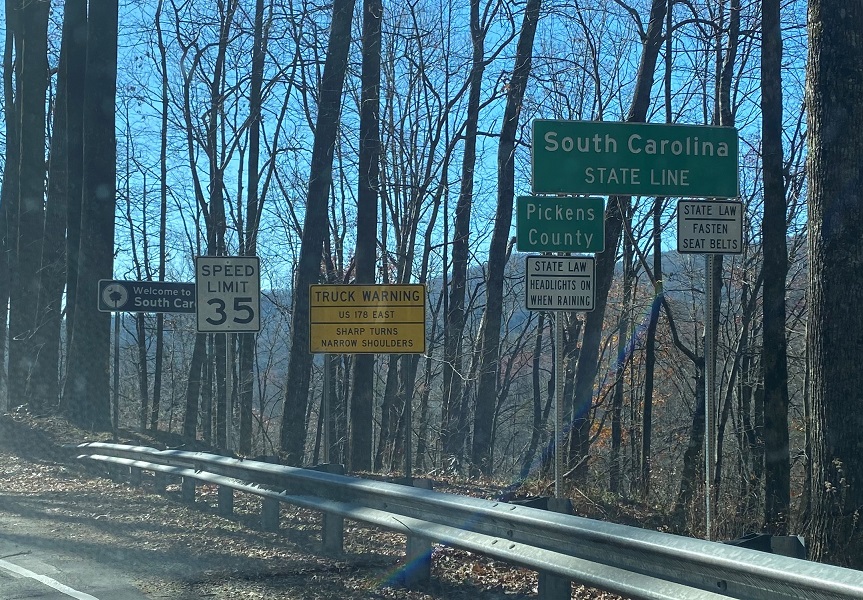
We were on our way to South Carolina. Sassafras Mountain was my favorite highpoint of the trip. Not only does it have a cool name, but the road was open to the top and it was a beautiful day! There’s a short hike to the summit area just beyond the closed gate.
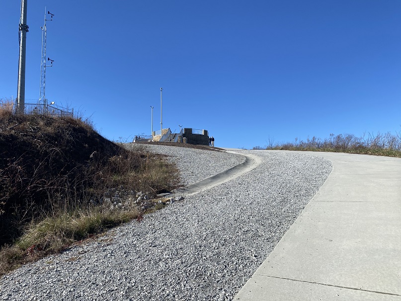
We walked up the gravel road to a very nicely done highpoint.
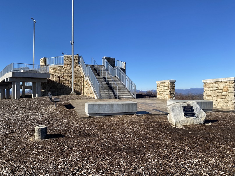
The summit marker, bench, and plaques were easy to find
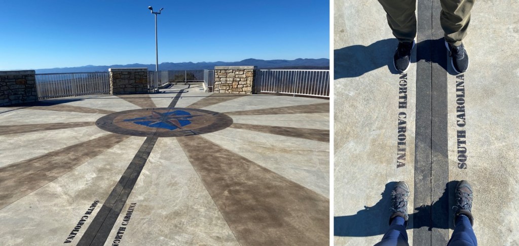
We walked up the stairs to the observation area, and realized we were on the NC/SC state line! So cool! So, of course we took photos.
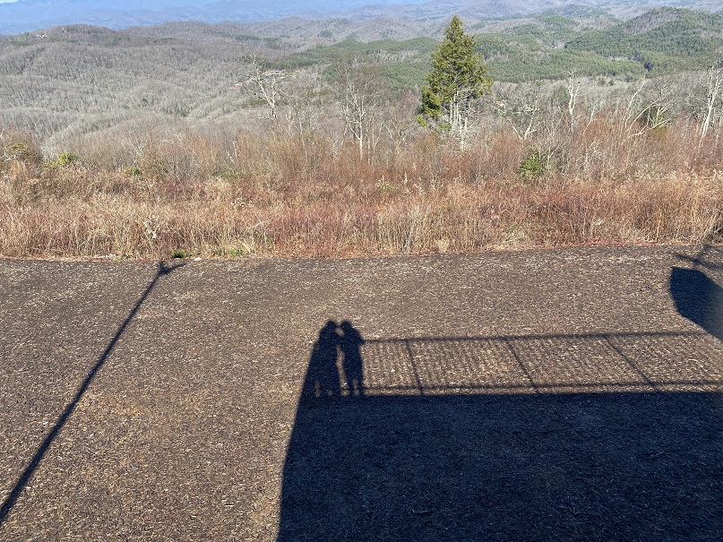
Check out the view from the observation area
Sassafras Mountain:
It was still early in the day, so we decided to drive over to visit the Alabama State Highpoint as well (Cheaha Mountain). We ended up starting out the wrong way and heading back into South Carolina
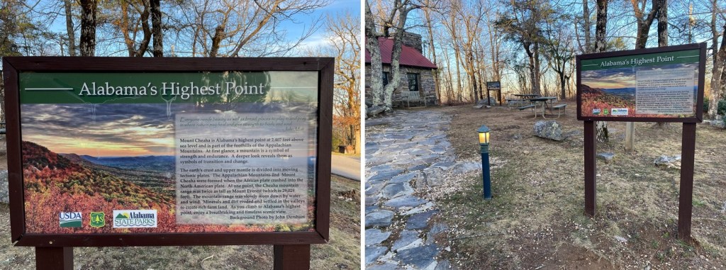
But we quickly noticed our mistake and turned around. After arriving at the State Park (which had people camping but no open bathrooms) we paid the entrance fee (the girl who took our money wasn’t wearing a COVID mask, and was a little rude) and drove to the observation area. This was another nice observation area.
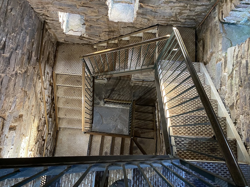
We were the only ones there, so we went inside and climbed the stairs
The stairs looked pretty cool on the way back down.
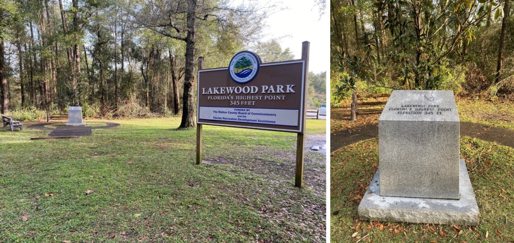
After doing some calculations we realized we had time to drive all the way to the beach and visit Florida’s highpoint tomorrow. We stopped to get gas and noticed Alabama doesn’t have a COVID mask mandate in place. The town we drove through was sketchy, and I got some very negative looks from the locals when I wore a mask while getting gas. The people giving me the looks looked to be members of street gangs, so we didn’t stay long. We drove all the way to Chocktaw Beach and parked on the side of the road, backing the SUV in. We were right next to the water, and I was excited to wake up to the sunrise the next morning. We ate our dinner (drive thru taco-bell) and I jotted some notes down in my journal. How cool was it we were sleeping on the beach tonight? Sorry, no pictures of this, as it was dark. In the end the sunrise wasn’t that spectacular and we forgot to take pictures, but it’s a memory I’ll never forget.
It was an hour from the beach to Britton Hill, Florida’s highest point. At 345’ it’s not much of a highpoint. In fact, it’s not even a valid peak. The park was nice though (not the bathrooms, as they were quite filthy, but the park itself, Lakewood Park, was nice).
And now for the 5 hour drive back to ATL. There was considerably less traffic as we made it back to Georgia
Some notes:
There was a lot of Christmas cheer in the form of holiday light displays
We passed no less than 500 Baptist churches
We saw a lot of deer
They close Blue Ridge Parkway in winter, even though they say they don’t
The cops in Alabama only have blue lights on their patrol cars
We didn’t see any wildlife except for deer (I was kind of expecting to see armadillos in FL)
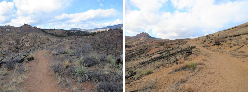
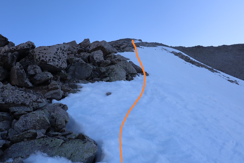
It was an icy drive to the trailhead. I chose to do segment 3 today because all hikes I was interested in above treeline were too windy. I did realize this hike was a gamble though, as yesterday it had snowed. I wasn’t sure how much, but reports said 4-6”. Since I was here last week, I knew this would be the first accumulation in the area. If figured I could handle 4-6” of snow.
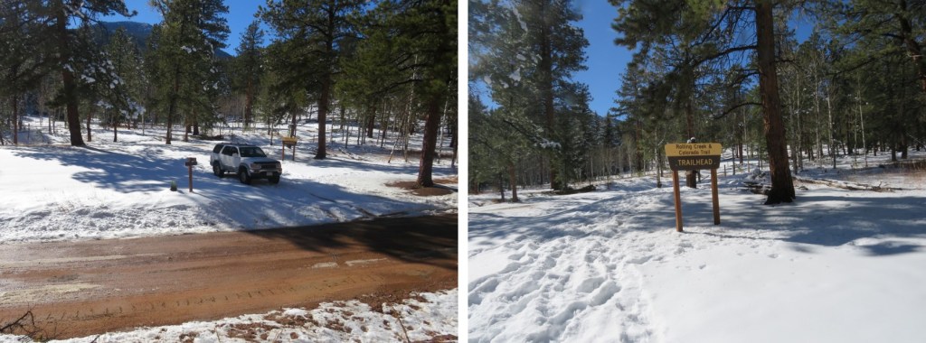
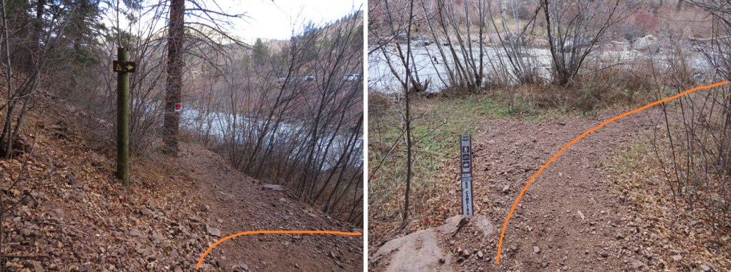
I made it to the Little Scraggy Trailhead to find the gate to the trailhead closed. I was expecting this, as when I was here last I’d noticed the gate was already closed. There are 3-4 parking spaces just outside the gate on the side of the road. There was a lot of snow on the side of the road, so I spent 10 minutes or so backing in and out of a space, packing down the snow. It was 12 degrees outside. I put on all my cold weather gear and was on the trail at 6am. The trail follows the road behind the gate. (Obviously, this picture is from last week, before the snow).
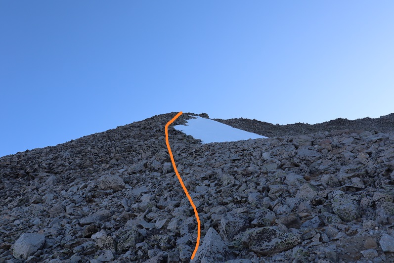
After hiking along the road for about 1 mile I came to the Little Scraggy Trailhead. Even through the snow, the road was visible.
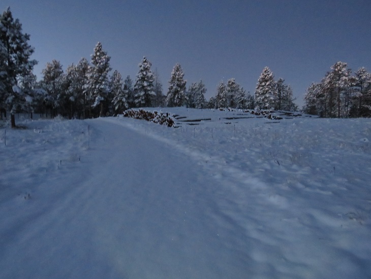
I passed a large woodpile
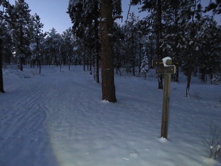
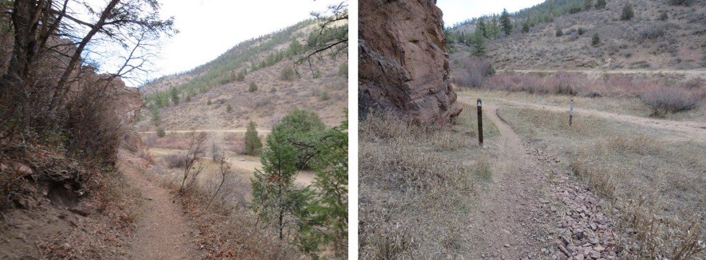
This part of the trail has a lot of obvious signage.
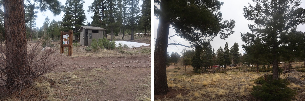
The Little Scraggy Trailhead has an information sign and bathrooms (I didn’t check to see if the bathrooms were closed for winter, but I’m assuming they are, as the road’s closed.
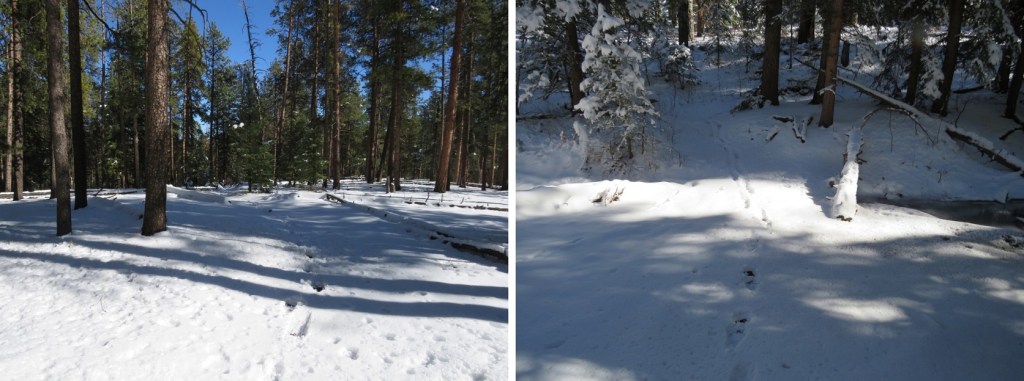
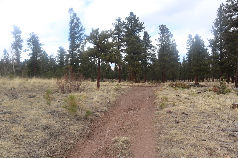
From here I followed a trail instead of a road. The trail was covered in snow, but I was still able to tell where it led (most of the time).
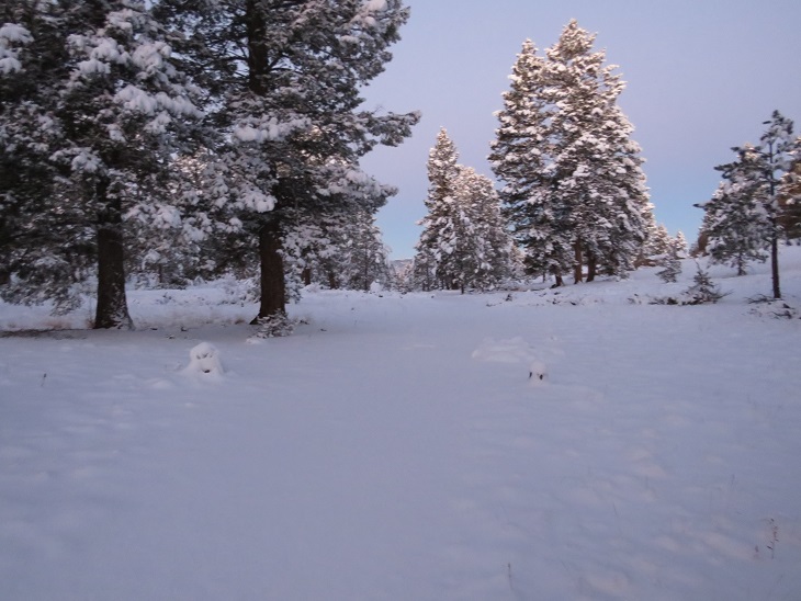
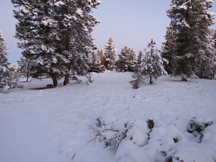
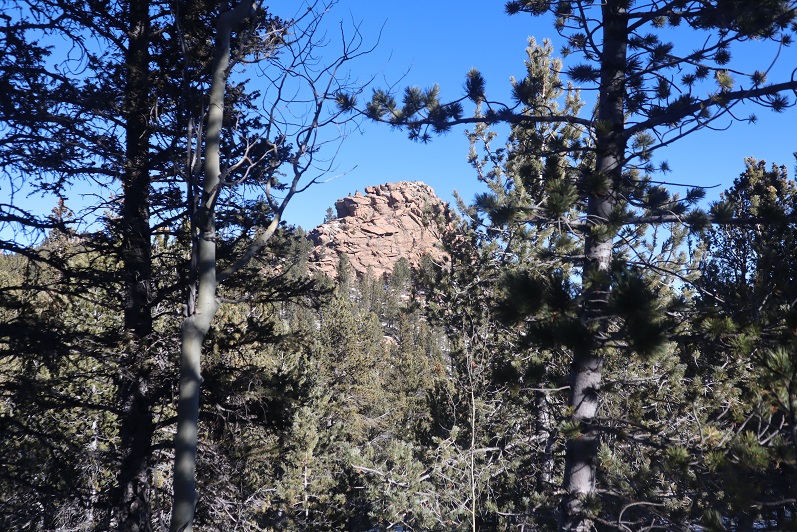
As the sun rose, I passed a really cool rock outcropping that looked like a great place to camp
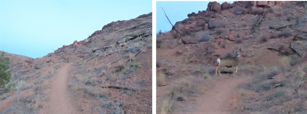
And I started seeing a lot of deer (and deer tracks)
I saw a sign that said ‘overlook’, and wanted to take a look, however, my toes were frozen. I told myself I’d take a look on the way out (which didn’t end up happening, for reasons I’ll explain later). Instead of heading straight I followed the trail to the left. Here I heard a pack of coyotes. They sounded close, yipping just over the hill. At the end of the yips I heard a bark that sounded suspiciously like a dog (but I’m sure what I’d heard initially were coyotes).
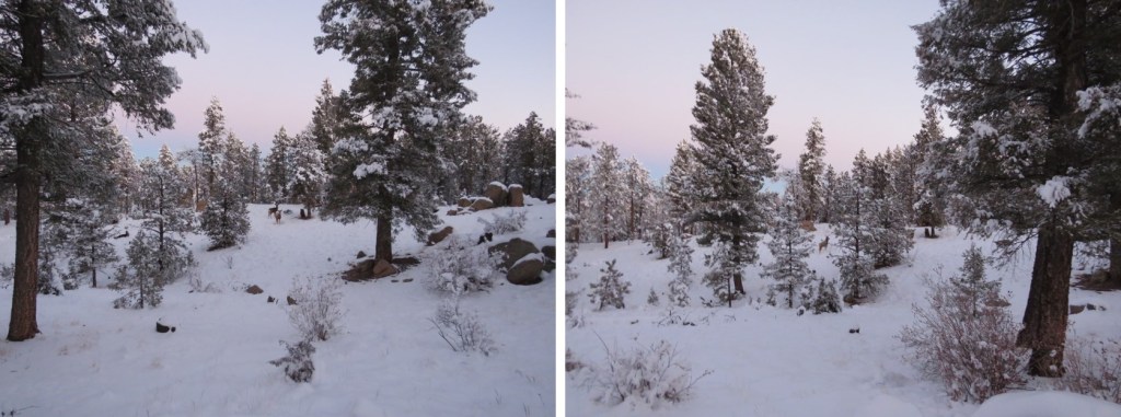
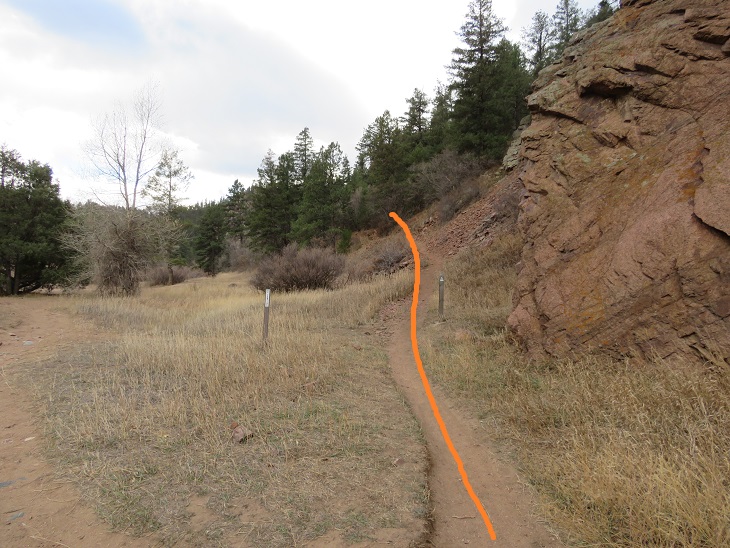
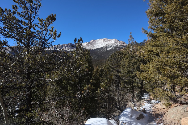
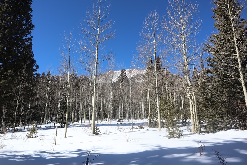
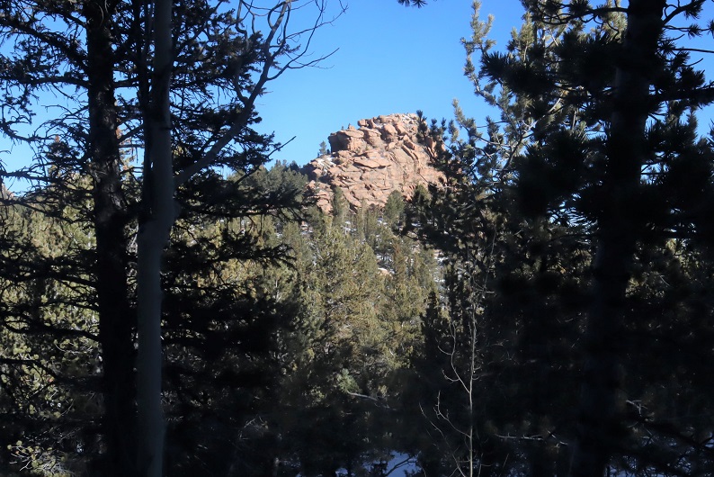
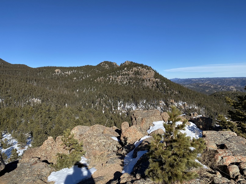
This next part of the trail was bitterly cold. I realized later in the day that due to the position of the mountains and time of year, this part of the trail never sees sunlight. The snow was sugary and soft and kept my toes frozen. I kept trying to move my toes inside of my new shoes, willing the circulation to continue flowing. Over and over again I wondered if I should turn back? How did one know when you got frostbite? At what point should I worry? What was the point of no return? Lots of these kinds of thoughts ran through my mind as I continued on. I’m not one to give up easily. The views of Little Scraggy Peak and Green Mountain were nice however.
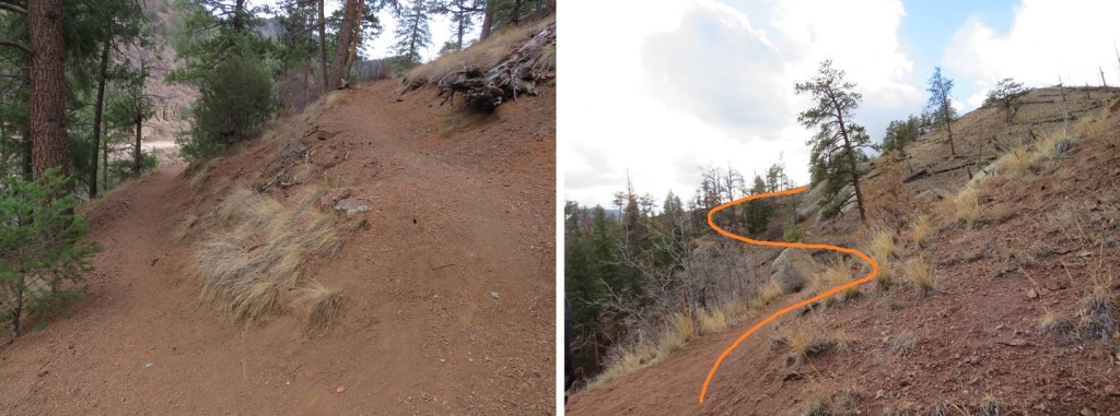
Here are more photos from this part of the hike. Sometimes the trail was easy to follow, and other times (due to snow) almost impossible. Luckily there were good signs at junctions
I passed through a wildfire mitigation area
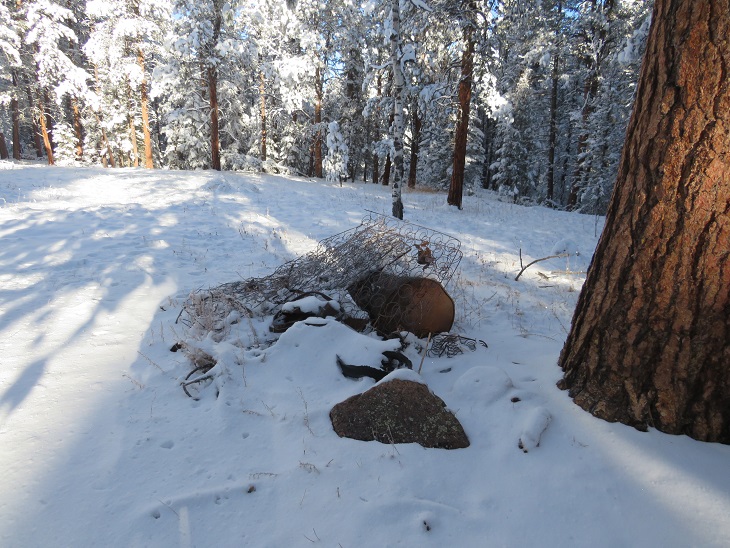
And some historical trash along the side of the trail. It was weird to find an old bedspring and cast iron and debris but no structure.
More good signage
Here I came to the most beautiful part of the hike. The trees and bushes were bent over, their branches weighed down with snow. As the sun rose the forest became magical, and in places the trail became difficult to navigate. After appreciating the beauty I took my trekking pole to the branches to disperse the snow, and the branches bounced back and stood upright again.
As the sun warmed up the trees, snow started falling from the branches. It was warm out, but I kept my hat on because of the falling snow.
There were several small creeks to cross on this segment, which means plenty of water. These were easy to cross and weren’t entirely frozen over, so I got to hear the water flowing underneath the ice. Most of these areas had logs to walk across. There wasn’t a log here, but the ice was solid enough for me to walk on top (I had microspikes on for this entire hike).
The snow seemed to be heaviest here. I’m guessing 8 inches or so. I contemplated putting on my snowshoes, but that sounded like too much work and brought with it the possibility of frozen fingers, so I postholed instead.
At 8.75 miles I came to the junction with Buffalo Campground
And then crossed three roads. The first went to Meadows Group Campground, but it didn’t look like anyone was headed there today
The next road was road 543. This is the low elevation point of the segment.
The final road went to a rifle range, and actually had tire tracks!
It was so nice to be hiking in warm weather. I use that term loosely (it was still below freezing), but the sun on my face was magical. Also, I could feel my toes again.
Now I was getting excited. My research had told me this was a 12.2 mile hike, and I knew I had to be getting close to 12 miles. I kept hiking, and came across signs asking me to stay on the trail because I was near a rifle range. No problem!
I hiked, and hiked, and hiked some more, excited I was getting near the halfway point for my hike today. I knew I had to be over 12 miles at this point, so I should be turning around soon. That’s when I saw it: a sign saying the trailhead was 2.5 miles away!
NO WAY! My spirits plummeted. I did some quick mental calculations, as I had a decision to make. It was now 2.5 more miles to my turnaround point. This would add 5 miles to my hike, and 2 hours to my day. If I continued on, I’d be hiking 30 miles today in the snow, trenching the entire way. Also, I’d most likely get back after dark, and I didn’t have cell service, so I had no way of telling anyone I’d be home late. In the end I decided I’d already gone this far and I didn’t want to waste the progress I’d already made: I was going to continue on to the Rolling Creek Trailhead. Also, this was going to be a long day! I resigned myself to not getting pictures of the start of this trail, since I’d be both starting and ending in the dark.
I hiked around what must be private property, given the fencing. This fence must have fallen inwards a few times: they steadied it with a large rock.
Yep, I’m still on the right trail! I was excited to see a Colorado Trail marker here. They are few and far between on this segment (although there is great signage).
The last 2.5 miles seemed to take forever!
I hit the high point of the trail, saw power lines, and then descended a short distance to the trailhead.
I made it to the Rolling Creek Trailhead at noon. I’d hiked 14.84 miles in 6 hours. Doing the math, I’d definitely be getting back after dark (dark now is 5pm, although, as I was to find later, it comes earlier on this segment). There was one vehicle parked in the small lot at the trailhead (taking up every spot available with the way they’d parked)
Even though it was noon I knew daylight was limited, so I didn’t waste much time here. I quickly turned around and headed back the way I’d come. The segment started with a little bit of elevation gain
Route finding was much easier on my way back, as I just followed my tracks in the snow
One really cool thing about this part of the day: all the snow that had been covering the trees was being warmed by the sun at a dramatic pace. Within minutes the trail became a rainforest, with snow melting and falling all around me as water as I went. It truly felt like it was raining! By the end of this part all the snow was gone from the trees, and there were water marks in the snow below them.
Some more trail pictures
With the snow, much of this trail looks the same. I did see more tire prints on the road on my way back out
(Sorry about the water droplets scarring the picture: the water was falling from the trees at a rapid pace)
Besides the deer, my tracks were the only ones on the trail on my way back
While the sun was quickly melting the snow off the branches at the more exposed spots, snow still lingered on the trees in the shadowy areas. In the morning I’d gingerly walked through this area. Now, I whacked every tree with my trekking pole to remove the wet snow so I could pass.
As I rounded the north side of Green Mountain I once again entered the shadows. It was now I realized this area doesn’t get sun in the winter time. The temperature dropped, and I quickly became cold again. Little did I know, but even though it was still afternoon, I wasn’t going to feel the sun again today.
The snow once again became sugary. I assume this is due to the lack of sun/melting. I passed the fire mitigation area
And followed the well marked “Colorado Trail” signs
The sun was rapidly setting. It wasn’t yet 4pm and it was already getting dark out. I quickened my pace, knowing I still had a few hours of hiking left in my day, and also cognizant of the fact I had people who’d be worried about me getting back after dark.
The sun seemed to abruptly set, just as I passed Road 550. I still had 2 miles left to hike in the dark. I don’t mind hiking in the dark (in fact, I do it on just about every hike), but the lack of a visual aid became troublesome here because it seemed someone had brought their family to go snowshoeing in this area sometime earlier in the day. There were several sets of tracks and prints that didn’t really lead anywhere, and my tracks from earlier were lost in the melee. I also wasn’t able to get any good pictures of the last 2 miles of the trail (which I’d also needed for the first 2 miles).
I passed the Little Scraggy Trailhead in deep darkness (despite the early hour) and easily followed tons of tracks in the snow on the 2wd dirt road back to my truck.
I made it back to 126 and, just for good measure, walked to the other side of the road and tapped the Colorado Trail sign on the other side, just to make sure I’d adequately linked segments. I turned around and took a picture of my truck on the other side of the road (and the closed gate)
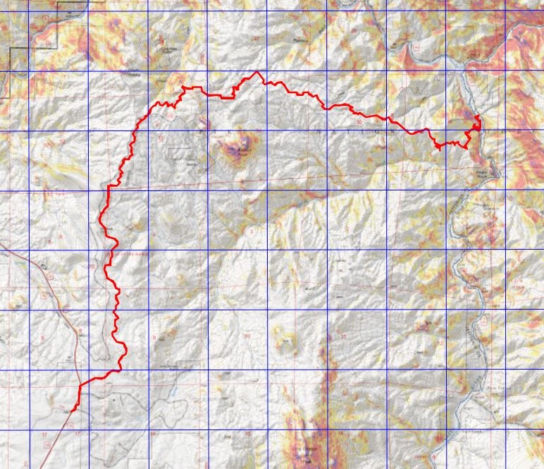
I made it back to the trailhead at 6pm, making this a 29.59 mile hike with 3362’ of elevation gain in 12 hours. I’d like to note I’d expected this segment to be around 23-24 miles, even with the added mileage from parking at the winter closure. Here’s a topo of my route. (Side note: feel free to contact me if you’d like a copy of the GPX file for this route).
My shoes were covered in ice when I got back to my truck. I shook most of the ice off, but some clumps stayed on my shoes for the 2 hour drive home, and even for a while after I set them by the fireplace. I was pleasantly surprised the hiking shoes I’d worn had kept my toes from frostbite in the conditions I’d hiked (30 miles, in consistent, sugary snow, for 12 hours, in below freezing temperatures). I have Raynaud’s, so this is phenomenal!
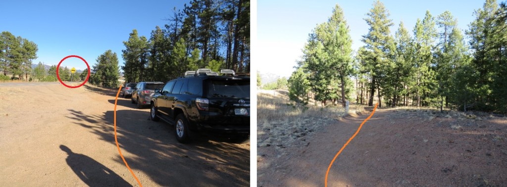
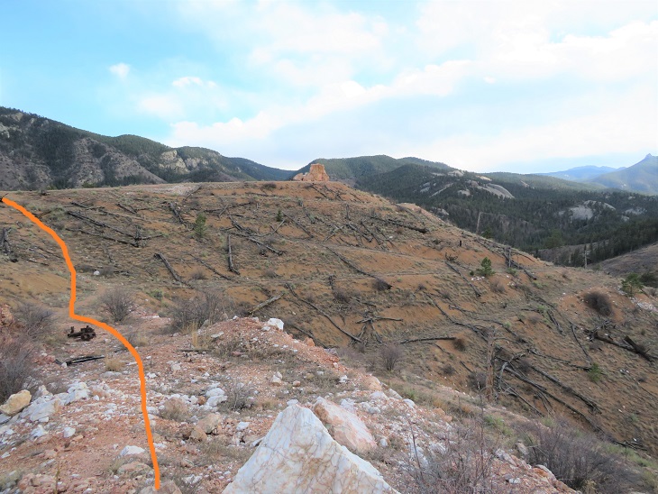
South Platte River à Little Scraggy à South Platte River
November 21, 2020
RT Length: 22.15miles
Elevation Gain: 3069’
High Point: 7762’ Low Point: 6099’
Time: 8 hours
Partner: SkydiverHiker
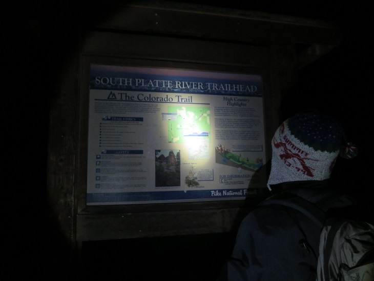
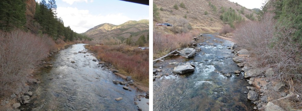
I had so much fun last week hiking Segment 1 I decided to hike Segment 2 this week! Actually, the weather was nice below treeline and yes, now I’ve caught the Colorado Trail bug, so this was an easy hike to choose for today. We arrived at the South Platte River Trailhead just before sunrise, and were on the trail at 6am, bundled in our warm weather gear.
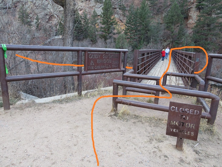
The trail starts at the east end of the parking area, and then circles under the bridge before heading southeast.
The trail is well marked and easy to follow
Shortly after crossing the bridge the trail starts switchbacking up the west side of the mountain.
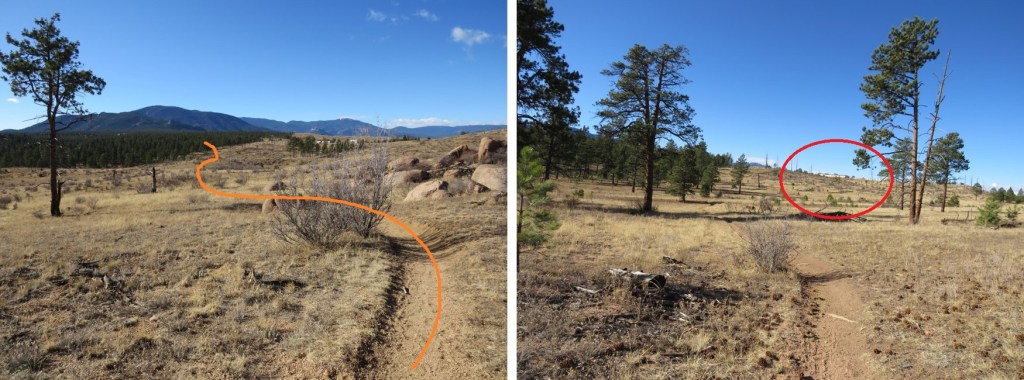
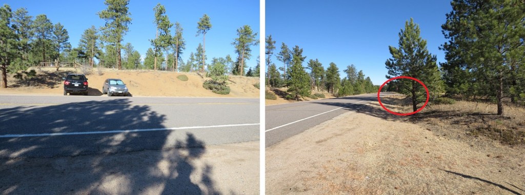
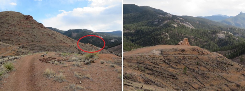
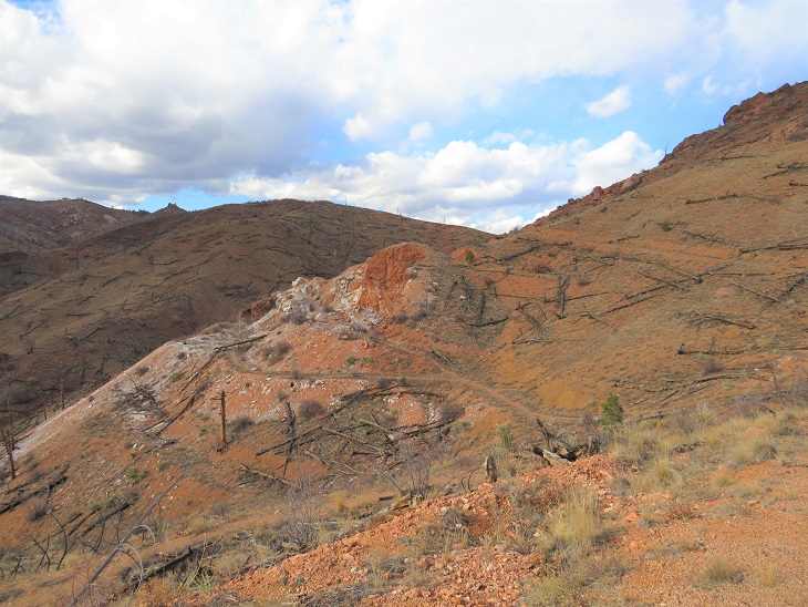
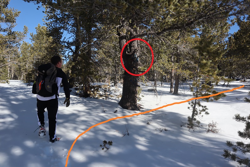
We hiked past an area we assumed was the abandoned Quartz Quarry (it wasn’t). Also, here I realized SkydiverHiker had thought we were going to a crystal quartz quarry (nope, a rock quarry). We met a hunter here wearing a bright yellow vest. He told us to be on the lookout: there were hunters up further along the trail, and let us know we’d missed the junction and were headed the wrong way. We thanked him, turned around, and wondered what they were hunting this time of year?
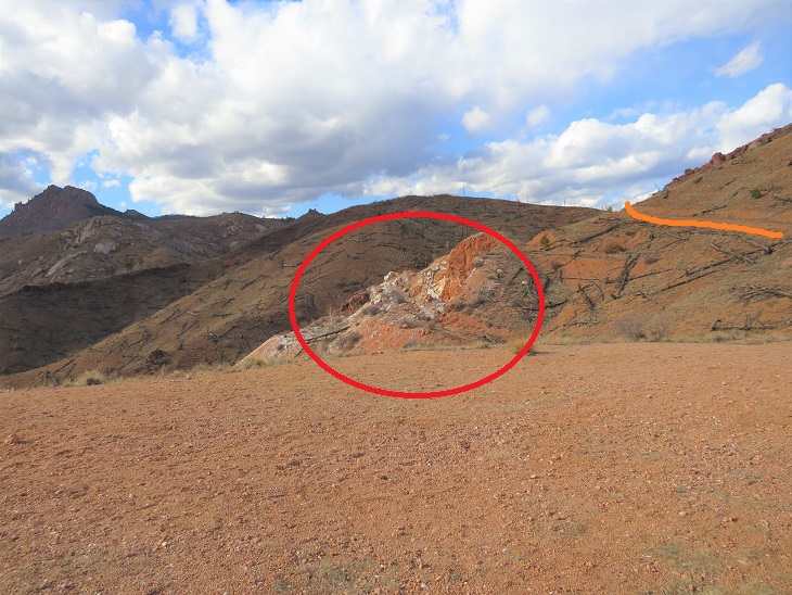
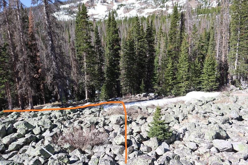
Unbeknownst to us, we passed the quarry in the dark (orange route, quarry circled in red. More on this on the way back, as we stopped here for a while. The quartz quarry is located 1.3 miles from the trailhead.
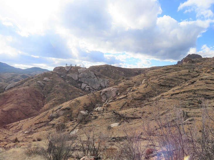
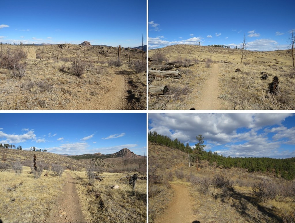
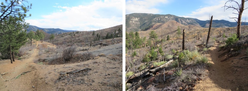
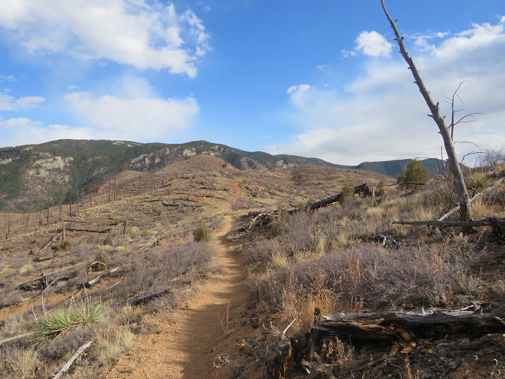
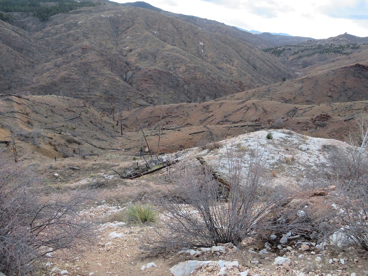
As dawn approached we came to a large burn area. This burn lasted over half of the hike. I hear this area is quite pretty in the spring and early summer, but today it looked desolate.
We started seeing tons of deer, and wondered if it were deer hunting season? We saw three sets, totaling of about 10-12 deer, but never heard a gunshot. Neither did we ever see the hunters (and they should have been visible due to the lack of foliage). The deer were no more than 10 yards away from us, and would have been easy to shoot if we’d been prepared.
As we hiked, I noted how different the mountains look with the trees gone. There were large, exposed boulders and drainages which would otherwise have been disguised by trees. It’s amazing how little has come back since the 1996 Buffalo Creek Fire.
We continued following the well-defined trail west
After hiking for 2 miles we were back in the trees. Side note: there were far fewer trail markers on this segment of the trail than on segment 1. I realize there’s been a fire and not many trees to post markers on, but in the treed area there were far fewer markers as well. And many of them diamond shape (instead of the triangle I’ve been so used to).
Shortly after making it back to the trees we crossed 4WD road 539, which looked like a forest service road.
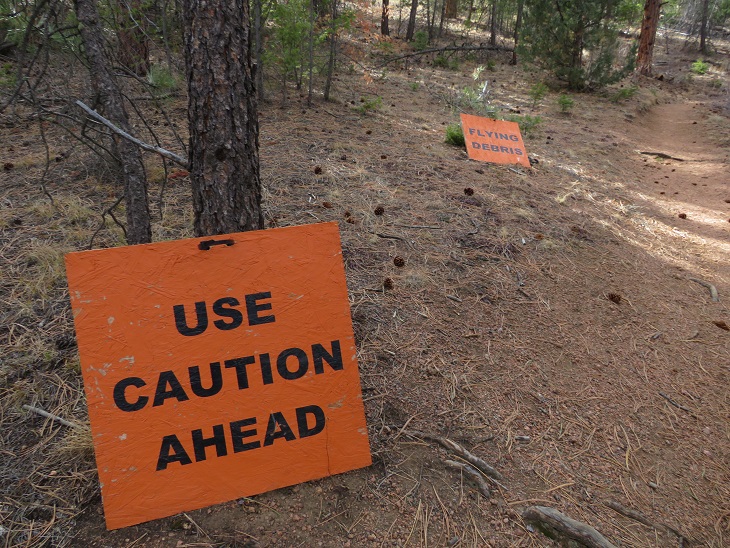
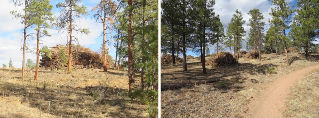
This would make sense, because next we came upon an area that’s experiencing logging operations. I’m assuming the area’s being mitigated due to the fire. Still, the signs were pretty cool. Since it was a Saturday, I figured the forest service had the day off and we wouldn’t be experiencing any ‘flying debris’ today.
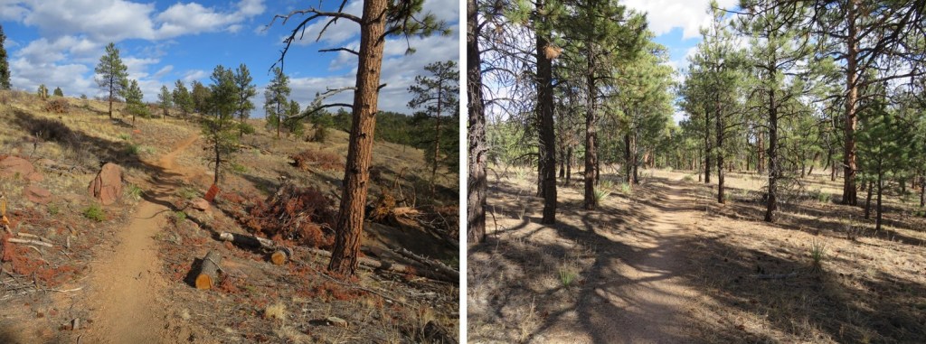
The trail continued through the trees, and past a really neat rock outcropping/camping area
After hiking for 6.25 miles we crossed another 4WD road (this one said it led to Raleigh Peak, and was a more well-defined road)
As we topped out at the highest elevation for this hike we came to a slight junction, keeping straight (west)
Then we came upon more tree mitigation. This was intense mitigation! There were dozens of piles, each no less than 20 feet high and 50 feet across, all of dead trees. It seems what the fire hadn’t decimated the forest service was now trying to cull in order to prevent another fire.
We soon exited the trees, and were in for another 3.5 miles of hiking through the Buffalo Creek Fire area. Here we encountered crows and ravens that seemed quite interested in us. They’d sit in a tree and watch us until we got close, then they’d fly off to a tree further in the distance and watch us as we hiked, flying off again when we got too close.
The final stretch of this segment took place again under the trees. At this point we could hear the road in the distance (126). Also, if you need emergency water, the fire station is circled in red. The only water we encountered on this trail was at the South Platte River Trailhead. After that, there was no water.
There is fencing all along the left side (east) of this trail, with many signs saying ‘no trespassing’. It seems they mean that here. The trail takes you to a road
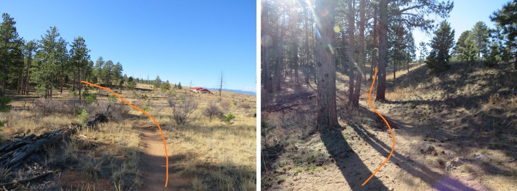
There seems to be a trailhead at this road. Indeed, you can park here. However, the segment was not yet over. We passed a few parked vehicles and continued along the Colorado Trail
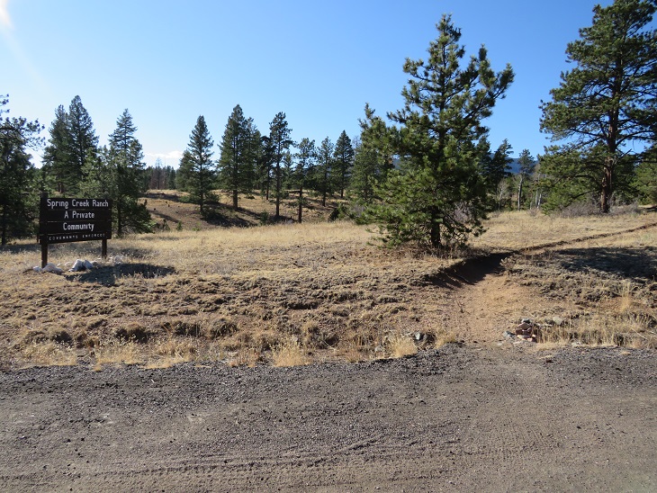
We passed a private community (Spring Creek Ranch)
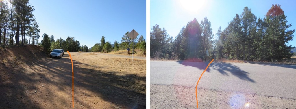
Before making it to what we thought was the trailhead (our gpx file ended here). It looks like there’s a few spaces to park here, and the trail picks up on the other side of the road.
There is parking here as well, and you can also see the other parking area along the road (circled in red). This is where you want to park in winter, as the ‘true’ Little Scraggy Trailhead is located beyond the locked gate, about a mile away. This is where I parked when I started Segment 3.
In any event, this is where I’ll park when I start segment 3, just so I can claim I’ve hiked the entire trail.
It was here I took off some outer layers, and tried to put my phone in my pants pocket, only to find I’d worn my pants inside-out this entire hike1 I looked both ways, sat down, and fixed the problem (much to SkydiverHiker’s embarrassment).
SkydiverHiker and I took a picture at this point of the trail. We made it here at 10am, after 10.79 miles of hiking (roughly 4 hours).
We didn’t stay long, because we were only halfway done with our hike. If parking here, this is the way we took back to South Platte River Trailhead, first starting with the entry point off road 126
This led us back past Spring Creek Ranch. Here we wet a man on horseback, riding a very fine looking paint. This might be a horse community.
Then back past the first parking area we’d encountered
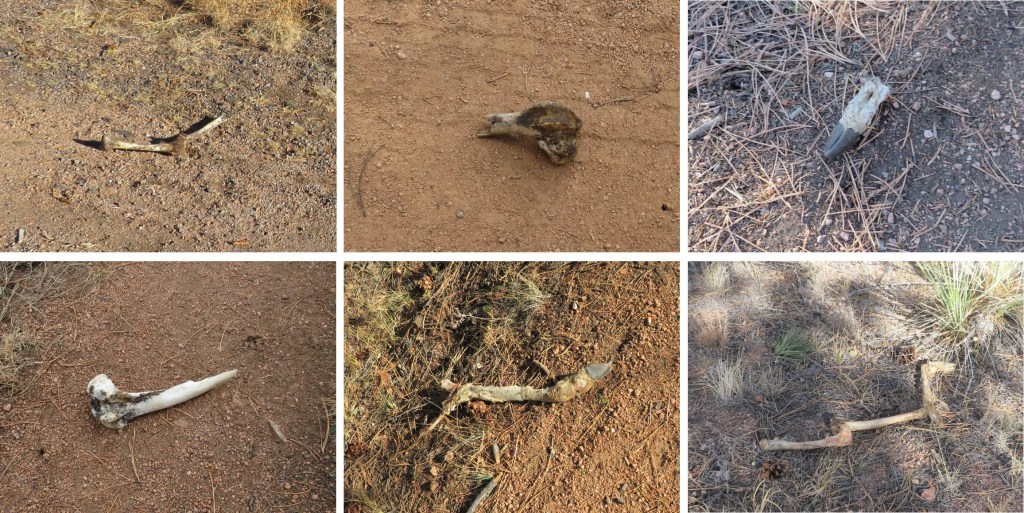
I’m going to note this here just because it’s one of the many places we saw bones while on this hike. There were several bone fragments of animals we found along the trail (some of the bones were not there on the way in, but were there on our way out). They seemed to be from multiple animals, but all deer and elk.
OK, back to the trail description. We passed the parked cars and continued on the trail. Note the sign for the fire station ahead, should you need assistance/water.
Then it was back into fire territory
Here’s an overview of the hike back to the trees
There were some especially pretty mountain mahogany plants along the way, their feathered seeds backlit by the sunlight.
Once back in the trees we passed the burn piles, or piles of trees. I’m not sure what they intend to do with these large piles, but it seems a waste to leave them there/burn them.
More evidence of ‘flying debris’/ tree trimming (this area is different than the one pictured on the way in)
At the highpoint, once again stay east (right this time) to stay on the Colorado Trail 177
Crossing the well-maintained dirt road
I came to an area where the trail was littered with clumps of pine needles. Looks like the squirrels have been busy!
We continued following the trail. Suddenly, I started seeing snow. Or were those spots? I get a bit scared when this happens (when I see spots it means my blood pressure is low). It was sunny out, so I wasn’t sure how I could be seeing snow. I mentioned this to SkydiverHiker and we stopped for a bit. I had indeed seen snow, as it was lightly falling all around us (despite the lack of clouds and abundance of sun). It didn’t last long though, and the flakes were few and far between.
There are a lot of campsites all along this route.
We crossed the service road again (this road doesn’t look like it gets much use)
And followed the trail through scrub oak and mountain mahogany.
Along the way we got in a good view of the route down (or up) from section 1 at South Platte River.
And now back to the burn area. Here is where we started seeing people. We passed a few groups of people here, and a couple of really cute puppies! It was also very windy and cold these last few miles.
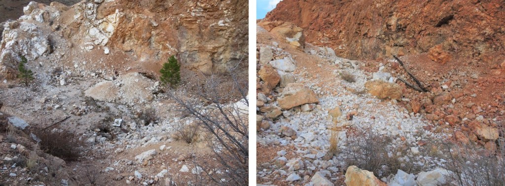
On the way back we had a clear view of what was actually the quartz quarry. There are rocks in this entire area.
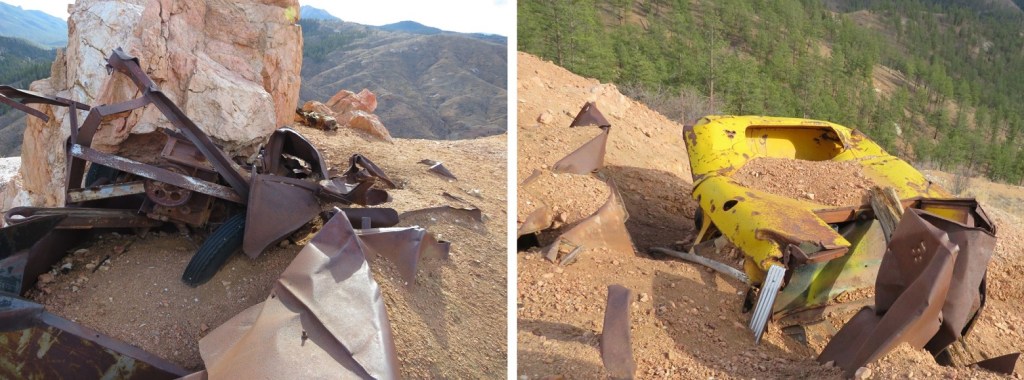
We first went to what looked to be an old parking area (or maybe there was a structure here, but there was no foundation to suggest so). It kind of looked like it had caved in. There were old vehicles and pieces of equipment here.
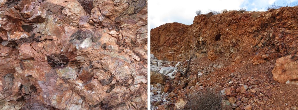
To the west was the actual quarry. We hiked over to inspect, and it was a little underwhelming.
Basically, just a hole in the ground with rocks. No rails or carts or wires, cables, etc. Just rocks.
But they were cool rocks! I was surprised at how white the quartz rocks were.
Here’s how we exited the quarry and made it back to the trail. This was a quick and fun side attraction.
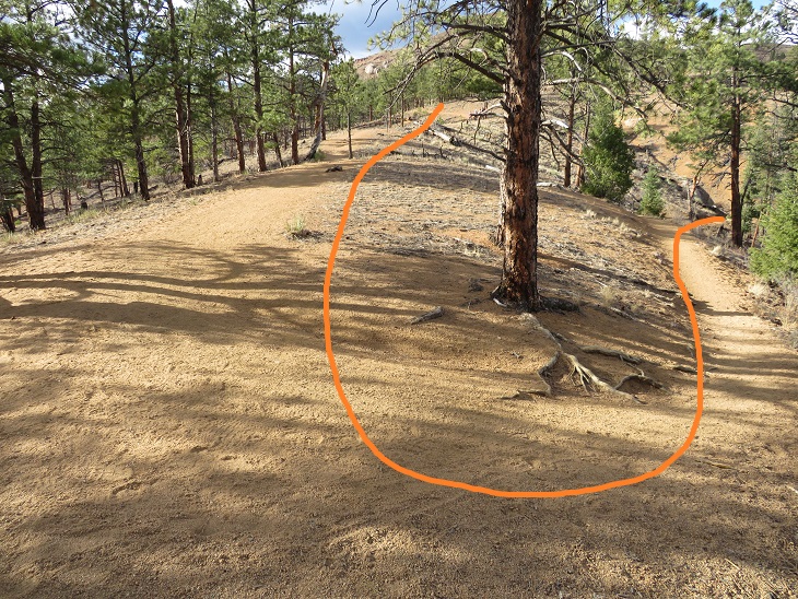
SkydiverHiker fixing the trail. We accidentally hiked the wrong way here for a bit because the junction isn’t obvious (especially in the dark). There isn’t a sign here, but I think going to the south takes you to Eagle Rock.
Then it was switchbacks down to the river. We took this part slow, as we may have had extra baggage at this point.
Back down at the river there were no camping signs. This is a bummer, since I’m sure a lot of hikers want to hike here after filtering water. No worries though, if you’re headed NOBO there are great camping spots just after the trail starts to section 1.
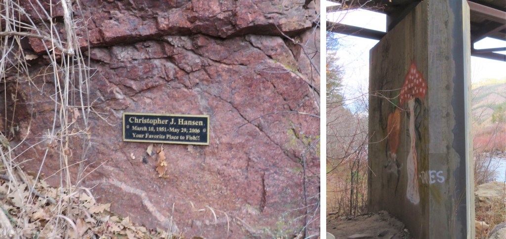
We also saw a memorial sign on the bridge (a dead fish in the water), and some graffiti.
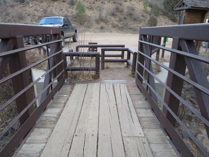
I hiked under the bridge, circled around and took the bridge back to the parking lot. SkydiverHiker took a shortcut, but to be fair, his pack weighed about 100lbs.
Here’s a view of the South Platte River from the bridge
They’re really serious about no motorized vehicles (etc.) on the bridge. I’m not sure you could get a horse through this either. In any event, I’m glad they’re keeping motorized vehicles off the trails.
We made it back to the trailhead at 2pm, making this a 22.15 mile hike with 3069’ of elevation gain in 8 hours. (Side note: feel free to contact me if you’d like a copy of the GPX file for this route).
Final thoughts: this was a long hike to hike with someone. I usually hike alone, and have no problem filling that time with the thoughts in my head. It’s different when you have a partner. You need to work out things like pacing (I was actually slower today, but I blame that on the hike I did the day before), when to take breaks (I never do, but I realize that’s unusual. I don’t see them as necessary), and conversation becomes difficult (I learned to turn my head around and speak directly to him when I had something to say, otherwise I’d get a “what?” and need to repeat myself).
I am so glad I drove to the trailhead when it was daylight! I didn’t have good directions: google maps stopped at Alpine Lake and when I CalTopo’d the drive from there I unknowingly set my route through private property (that wished to remain private). So I drove around for a bit and eventually found a road that went straight to the Alpine Cemetery Trailhead:
Directions to Alpine Cemetery: From 162 turn right onto 292B, and then take your third right onto 292B. It’s the street that has a sign that says “dead end”, which I chuckled at because it ends at a cemetery. It’s also the only street in the area that’s a dead end.
There’s room for a handful of cars at the dead end.
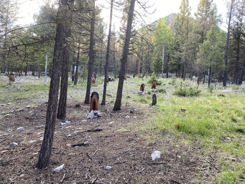
I parked my truck and took a look around. The trail started at the east end of the parking area and wove through the Alpine Cemetery to begin. Yes, I was extra glad I came here while it was still light out, as I was able to locate the beginning of the trail and walk it in the daylight (tomorrow I’d start in the morning when it was still dark). I also discovered there were tons of tiny worms hanging on threads from the trees. This was also something I was glad to know: they’d be no fun walking through in the dark through the cemetery, but at least I’d know what they were. I’d be hiking and using my trekking pole as a web catcher through here. There was a sign telling the history of the cemetery at the trail entrance. It looked like the ‘headstones’ were all re-done a few years ago, and already deteriorating.
Oh, and there are graves that go right up to the road. That’s my truck, and circled is a gravesite.
I walked around the cemetery for a bit, then headed back to my truck to make dinner.
When I spend the weekends hiking and sleeping in the back of my truck I try to make meals as easy as possible, mainly because I just don’t get hungry when I hike so it’s worthless to spend a lot of time preparing them. Today I’d hiked 18 miles with 7100’ of elevation gain and I wasn’t hungry. But I knew I had to eat for tomorrow’s hike of PT 13,626 so I heated up dinner anyway. Yesterday I’d cooked some brats on the grill and put one in a ziplock bag for today. I filled my JetBoil with water, put the brat inside to heat it up, and got a glass of wine. As soon as the water was boiling I picked up the brat with a fork and poured the water into a Cup Noodles container to warm up the rest of my dinner.
I took a bite out of the brat. Nope, I wasn’t hungry. Ugh. Hearing a noise I turned around and saw the largest Golden Retriever I’ve ever seen trotting over to me. She sat down in front of me and smiled. Three high school aged girls came up behind her and asked me if she was my dog.
Me: “No, sorry, I don’t have a dog”
Girls: “We didn’t think so but we thought we’d check. Her collar says her name is Molly and she has the same last name as the sign in front of a house down the street, so we’ll take her there”
Me: “Good idea. Good luck!”
The girls called for Molly to follow them but Molly had gotten wind of my brat and wasn’t budging. She sat there and looked at the sausage longingly. Molly wasn’t my dog, and even though I didn’t want the brat I didn’t feel right giving it to her because I didn’t know her diet, so I did the only thing I could do: I ate it as fast as I could. I probably finished it in 30 seconds and in 4 bites. Now I really felt sick. To add insult to injury when I was done eating Molly didn’t turn and walk away: She rolled on the ground, shook back and forth and asked for belly rubs.
It took the girls a solid 5 minutes to get Molly up off the floor and to walk with them towards her owners’ house. I tried but was too full to eat my cup noodles, and after 3 bites pretty much wasted the rest. It’s weird how I can burn thousands of calories on a hike but can’t force myself to replenish those calories afterwards without feeling like I was going to throw up. A couple hundred calories wasn’t going to do it for tomorrow, but oh well; it would just be a slow day.
I’d wanted to make this an early night, but after jotting down some trip notes from today and making dinner and walking around it was getting late. After slapping the third mosquito I closed my truck and sat in the back with the doors closed. I lit a candle, writing by candlelight. I have lights set up I could have turned on, but candlelight just felt better. Ambiance = candlelight in a cemetery. Trust me.
I was finally ready to go to bed around 9pm. I blew out the candle and set up the curtains over my back window and noticed some of the graves had solar powered lights outlining them. Oh great: So now even in the dark I’ll know where the graves are (that’s sarcasm). I really didn’t think this whole “sleep at the cemetery trailhead” thing through. I went to bed wondering if I knew any good cemetery songs? I’m a Girl Scout Leader and have a song for every occasion, but currently I was drawing a blank.
Interestingly that night I slept at the cemetery was probably the most peaceful night I’ve ever had sleeping at a trailhead. You could say I ‘slept like the dead’. Seriously: no noises woke me up in the middle of the night, no wind, no animals, no chatter from dispersed campers. It was great!
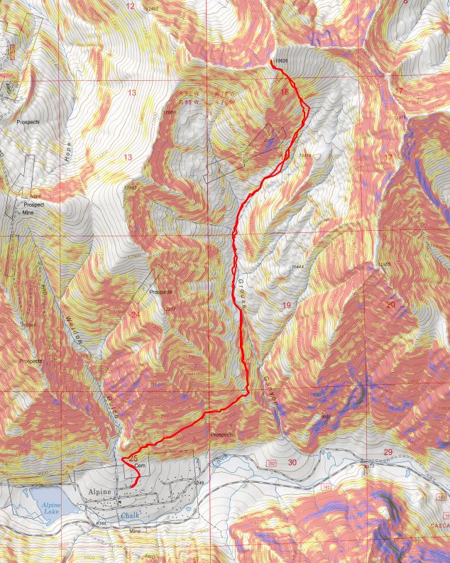
I woke up at 3:45am and was on the trail by 4:15am. This was my second attempt of PT 13,626, the first one foiled due to snow in the basin and a lost water bottle. Also, I took a different route on that hike.
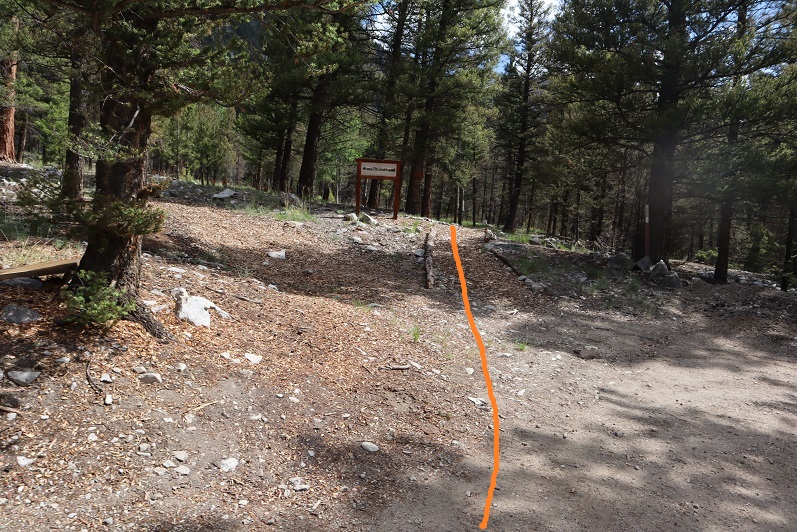
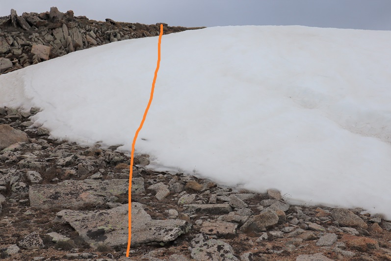
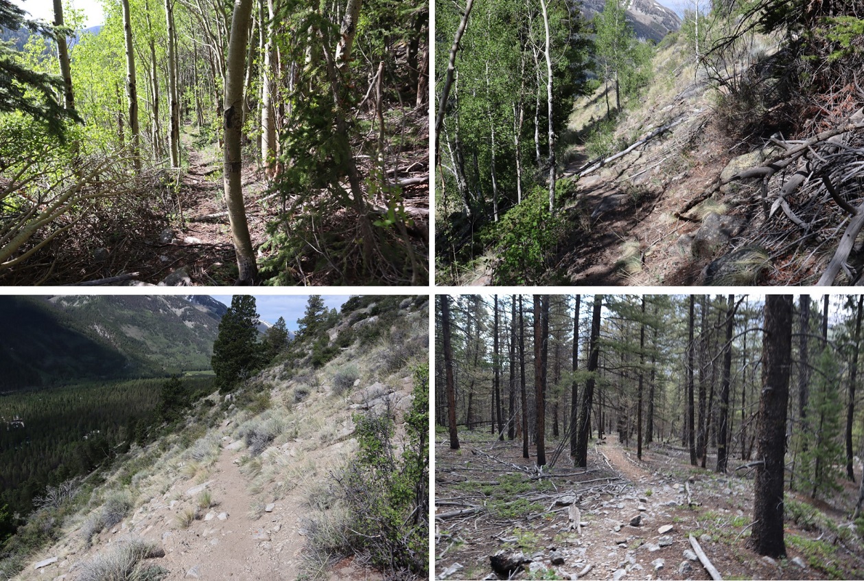
The trail starts at the Alpine Cemetery sign and winds around the cemetery, following a crumbling trail outlined by tree branches.
The trail is a bit rough to start but there are signs that while they aren’t the most elaborate, indicate the way
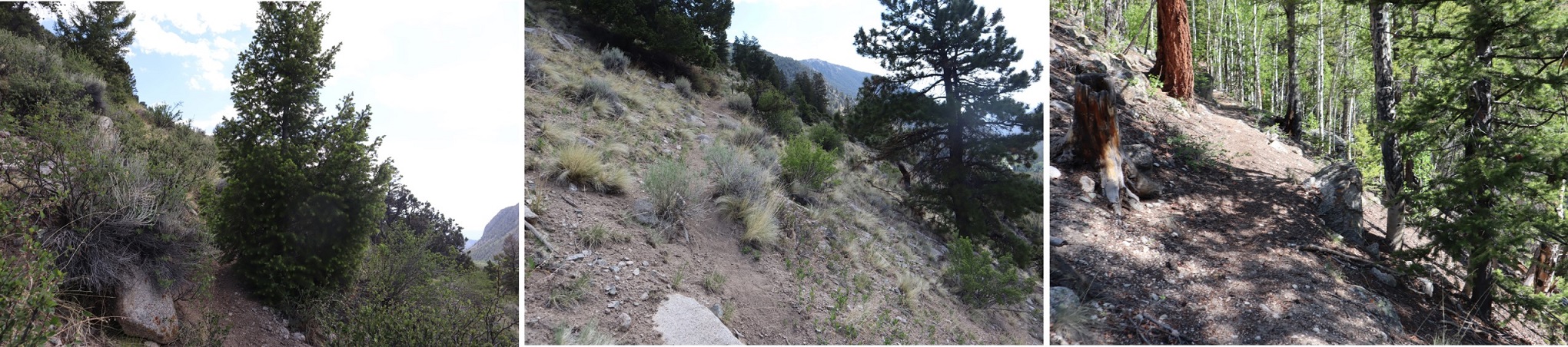
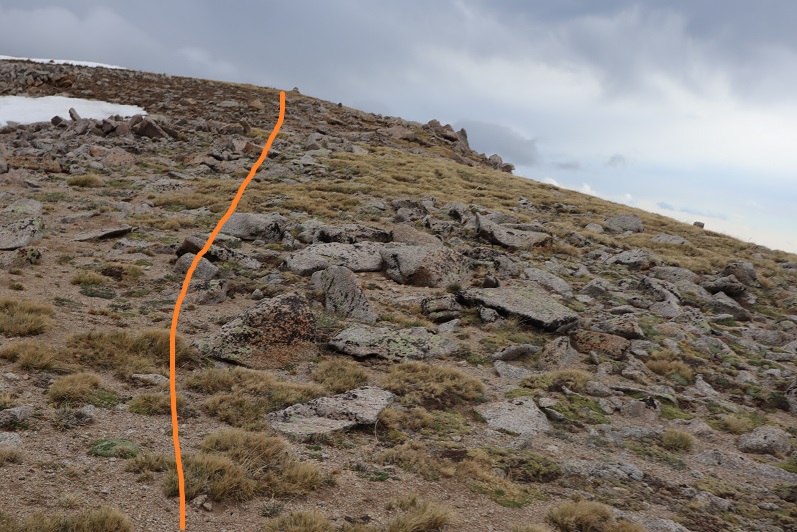
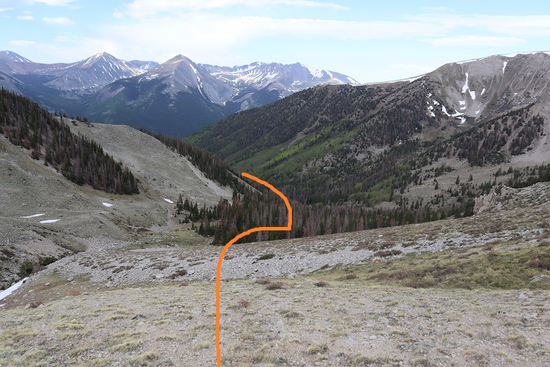
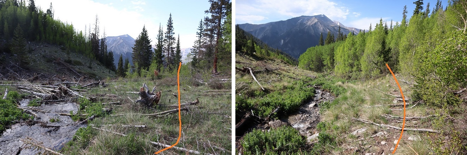
After you get past the cemetery the trail narrows and is more defined. The trail changes from pine trees to chaparral to aspens as it hugs the south side of the mountain, gaining elevation for 1.3 miles until turning left and heading north up Grouse Canyon. The trail is a little overgrown but easy to follow. I kept thinking “This route is SO MUCH EASIER than the last route I’d tried to summit PT 13,626. So. Much. Easier.” Images of bushwhacking and ticks and tons of compass time flashed through my head and I wondered why last time I’d chosen the route with no trail?
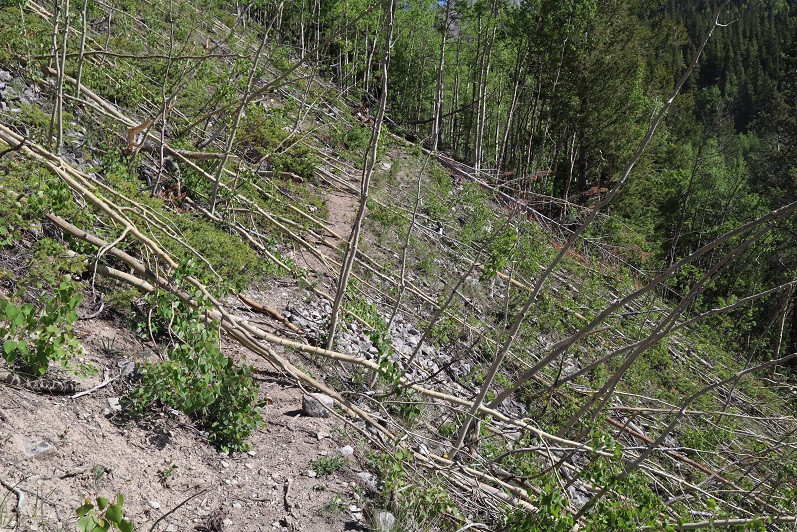
After hiking for 1.6 miles I encountered a small avalanche area, easily crossable
I hiked for about a tenth of a mile more and the trail stopped in a larger avalanche area. From here on out there was no trail to the summit. However, there is a creek. If you follow the creek it will take you through to the basin. I ended up crisscrossing it several times when there seemed to be more of a trail on one side or the other.
Here are some pictures of the route up the valley
After hiking for 2.7 miles the drainage curved to the right (east) and I followed it up to the basin. This looked like a dry creek, but was probably due to snow runout
This brought me to treeline, and rocks. I stayed high and left here and didn’t regret it, but you could also follow the drainage to the right all the way up to the basin.
The rocks turned to tundra
There are multiple ways to summit here. You can keep going northeast and follow the ridge to the summit or go straight up the face (northwest). This is all class 2.
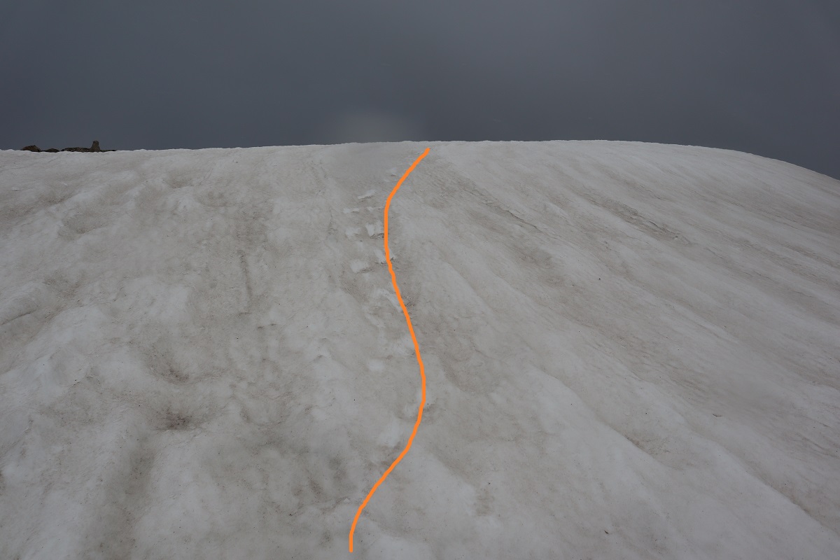
I decided to go straight up the face. This was steep but easy to navigate, with a lot of tundra and stable sand in the gullies.
I started encountering a little bit of snow as I made it to the top. Easily avoidable snow as I just stayed to the left
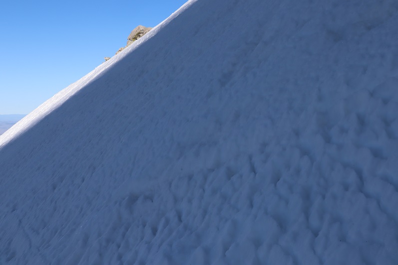
There was a cornice at the top
I headed towards the smallest part of the cornice to investigate. I took off my pack and decided to put on microspikes and get out my ice axe. I realized halfway up the snow crampons would have been a better choice but I was already committed and the spikes held. Also, here it started snowing.
When I got to the top I turned right. There was still a little more snow to contend with before reaching the summit, but the summit itself was dry
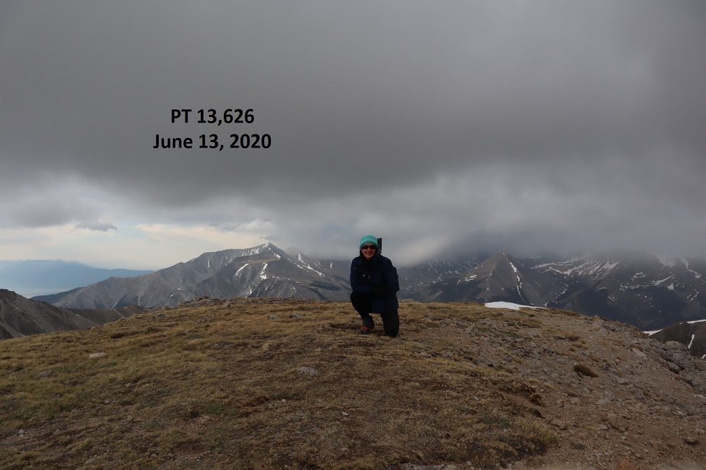
I summited PT 13,626 at 7:30am. It was lightly snowing and cold and very windy. The forecast had mentioned thunderstorms after noon but said nothing about snow this early in the day. I wasn’t sure how I felt about it. Yes I was. Cold. I felt cold.
PT 13,626:
There was a nice summit register under the cairn. As always, I didn’t open it. Here’s a picture of the route I took in this time (taken from the route I attempted last time. Unfortunately, the way I came today didn’t afford any good views of the peak)
This wind was insane. And cold. Time to head back down.
I took off my microspikes and headed back down to the basin, following the same way I went in
Staying high and then dropping down into the drainage, following it down
Until I reached the avalanche area and once again found the trail
The trail was easy to follow back to the trailhead
I made it back to my truck at 10am, making this a 8.14 mile hike with 4197’ of elevation gain in 5 hours, 45 minutes. Here’s a topo map of my route:
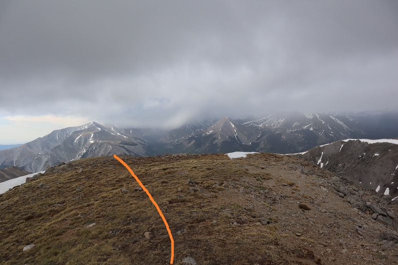
After summiting Sayres Benchmark I noticed the day was still nice and I had plenty of time to spare so I drove to Independence Pass to try my hand at Twining Peak. I’ve already been here once this year after another hike, but the conditions weren’t… favorable. Lots of wet marshy mush to get through to the good stuff, and I don’t like hiking with soggy socks.
When I got to the Independence Pass parking area I backed in my truck and took a look around. Yep, it was still marshy.
The weather looked good, and I could see a clear line to the ridge. I decided to gather all my gear (crampons, ice axe, snowshoes, new socks, etc.) and hit the trail. I walked west along HWY 82 until I reached this sign, which happened to be where the snow ended. From here I turned right (north) and headed for the ridge.
Yes, this was still marshy, but I could avoid the snow and getting my feet wet with careful navigation. I aimed for the ridge, intending to see what the basin looked like before determining if I would summit first via the 13500/Twining saddle or go over 13500 instead.
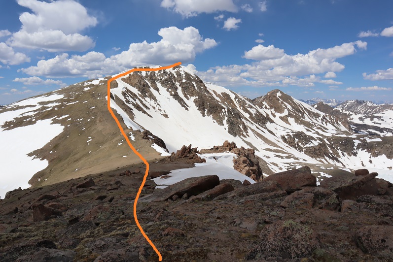
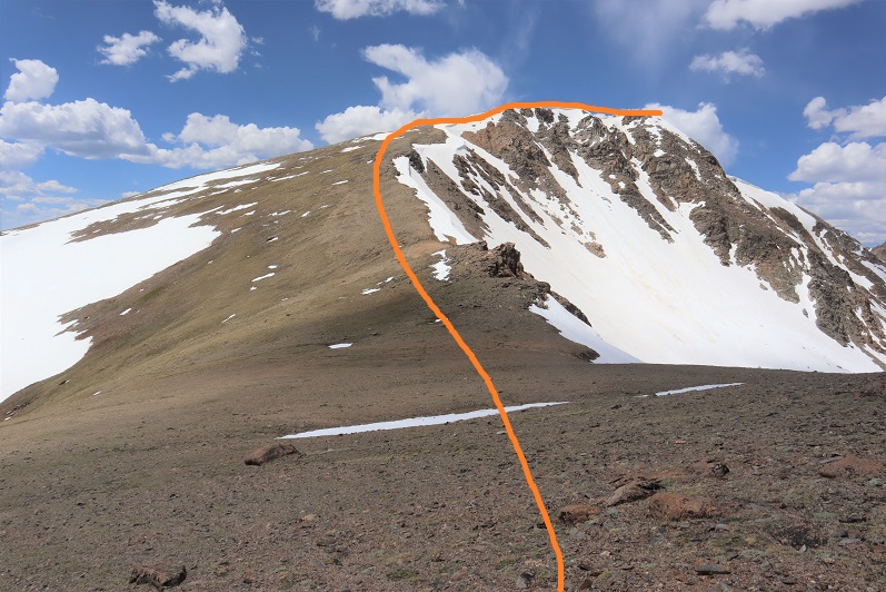
When I made it to the ridge I looked over at Twining Peak. If it were earlier in the day I would have crossed the basin and gained the saddle first (as outlined below).
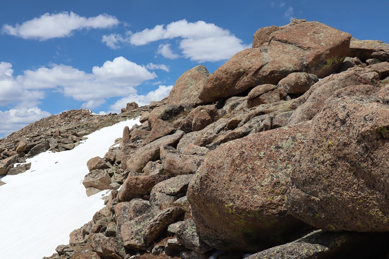
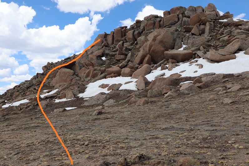
However, it was now almost 2pm and I knew that snow was soft. Yes, I had snowshoes, but no, I didn’t want to posthole with them through the basin. So instead I turned right (northeast) and followed the ridge to 13,500. This was all class 2
There seemed to be a bit of a trail in areas that went straight up through the snow. I didn’t want to do that so when I encountered snow I just went around it. This is an easy ridge to follow.
There was a little bit of rock hopping, all class 2, and easy fun. The boulders are big and pretty stable. Just hug the ridge to the left and don’t try to go straight over the ridge and you’ll be fine.
Here’s the last bit to the summit
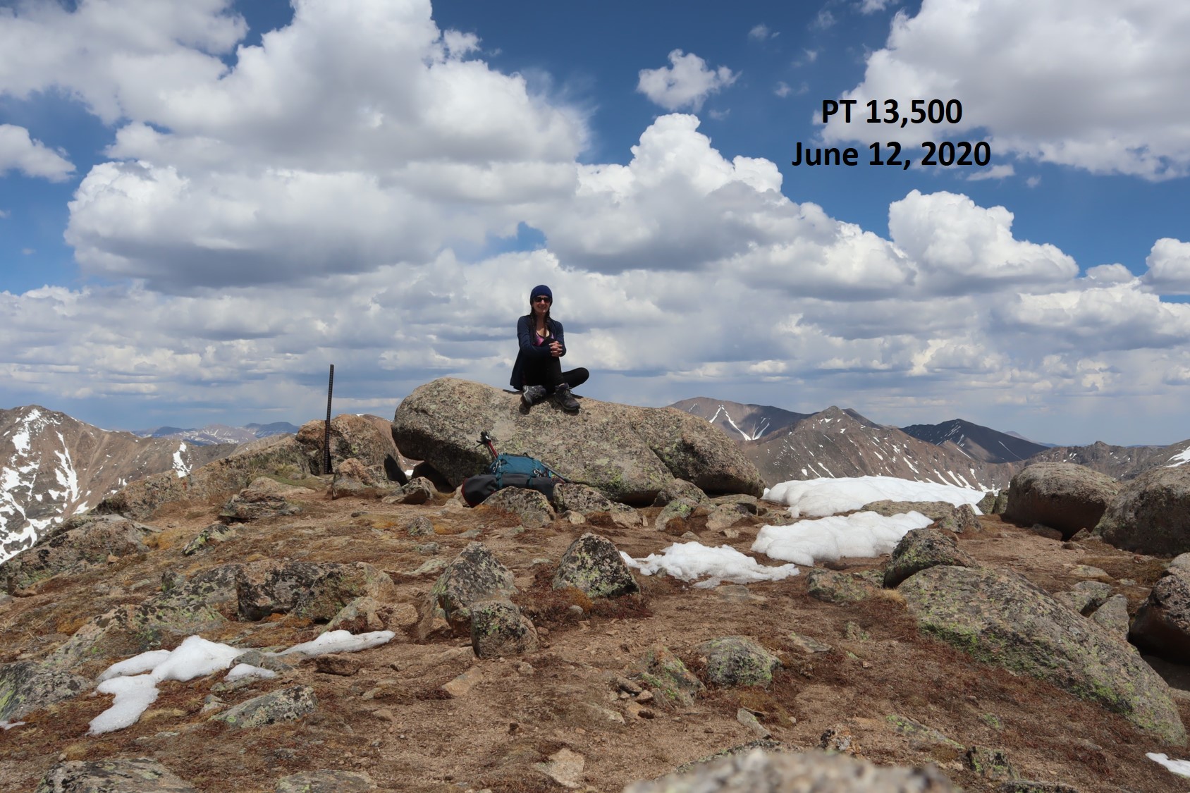
I summited at 2:15pm
Pt 13,500:
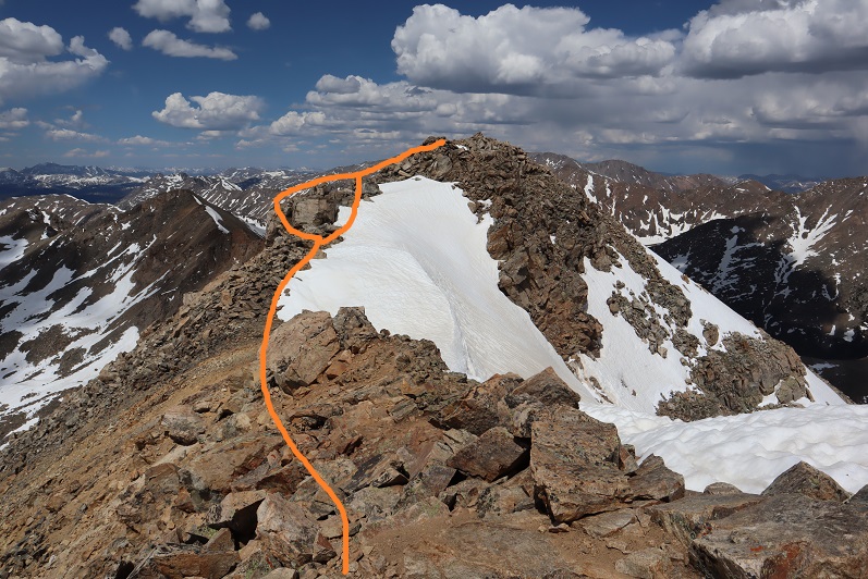
There wasn’t a summit register. Turning northwest I could see my path to Twining Peak
This was an easy ridge walk, with a little easy rock hopping and the snow was totally avoidable
The tundra changed to rocky terrain
There was some snow on the last section. I decided to drop to the left and find a gully to summit, but I wouldn’t recommend that route: the gully was loose and on my way back I found out the snow was actually solid near this boulder, so I should have just summited by walking across it.
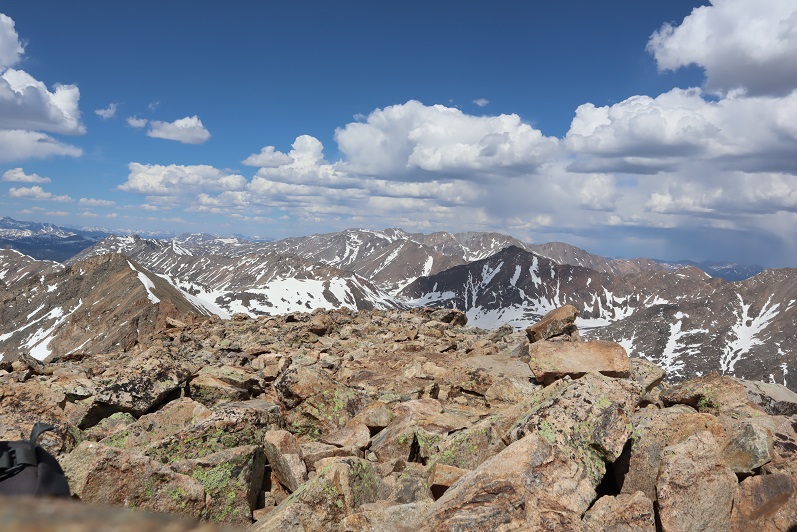
Summit of Twining Peak
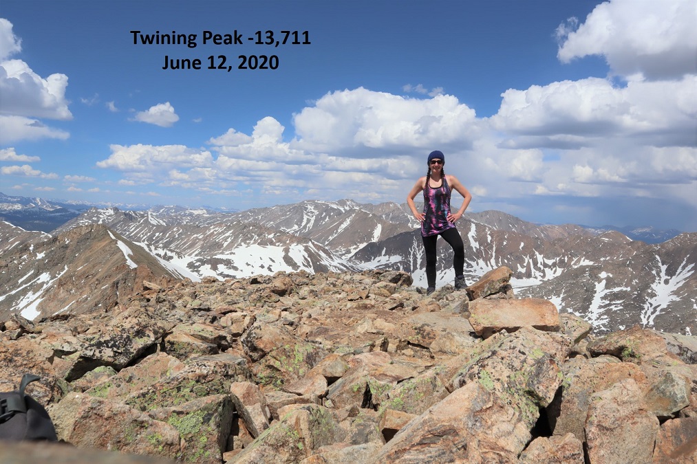
I summited Twining Peak at 3pm
Twining Peak:
The weather was starting to turn; I could see rain showers all around so I didn’t stay long on the peak. I put on my jacket and headed back down, this time going over the snow and large boulder I’d gone around on my way up.
And back down the ridge, sticking to the right to avoid the snow
I re-summited PT 13,500 as it was lightly snowing. There was a young man at the summit who was super excited: this was his first 13er! He’s never gotten this far before on this peak, and he was excited. He wanted to know what all the peaks were that we could see, and I obliged him for a bit. Also introduced him to 14ers.com because he’s interested in tackling more 13ers and 14ers (please be nice).
I headed back down the ridge
Unfortunately, at about this time I saw a flight for life helicopter whiz by. Never a good sign. Later, as I was driving back down HWY 82 I saw a police officer and a tow truck driver putting a motorcycle on the back of the tow truck, lots of lights flashing, no other vehicle/animals involved. Ouch. I sincerely hope everyone is ok. Also, the accident happened in a straight area of the HWY, so I don’t think HWY curves were involved. In any event, please adventure carefully!
I took a slightly different path on my way down than I did on my way up, as I could see a clearer path that avoided marsh/snow
I eventually came upon a trail, but it led to snow/marsh, so I avoided it and went back down the ridge
The nice thing about this hike is you can see your vehicle for most of it, and at a minimum HWY 82, so it’s difficult to get lost. I just aimed for the road, avoiding the snow/mush
Here’s an overview of my hike up to the ridge and back down more to the center (after realizing the basin wasn’t something I wanted to experience today)
I made it back to my truck at 5:45pm, making this a 5.39 mile hike with 2443’ of elevation gain in 3.5 hours. Please don’t judge the time: I’d already hiked 12.5 miles and 4652’ of elevation this day and I was a bit tired; this hike can most likely be done faster.
I’m not a fan of couloir climbs, but feel they are something I should practice. I intentionally chose to climb Mt Aetna when there wasn’t a ton of snow so I’d have the option of hiking on either snow or rock.
I left my house at midnight to a swirl of thousands of Miller moths. I’m not exaggerating; as I opened my garage door they swarmed my truck and at least 5 made it inside the cab with me. I spent the next few hours doing my best not to get frightened when one flew past my face.
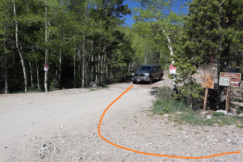
The drive was uneventful, but I saw no less than 6 police vehicles in the short drive from 285 to the Boss Lake Trailhead (seemed excessive for such a remote area at this time of night). Memorial Day weekend should be interesting. I parked at the lower trailhead so I could add the 1.4 miles each way and hopefully some elevation gain: I’m still trying to keep my average at 10 miles per hike with 4000’ of elevation gain and I’m a little under that right now so every little bit helps.
I parked and was on the trail by 3:15am.
The 230 4WD road isn’t that bad to drive or to hike. I was glad I’d parked where I did because there were downed trees on the road before a little ways before the trailhead
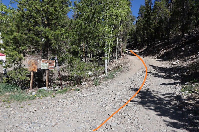
At the trailhead sign I went right
And at the fork in the road I went left (the road has a chain across it and a “no trespassing” sign to the right)
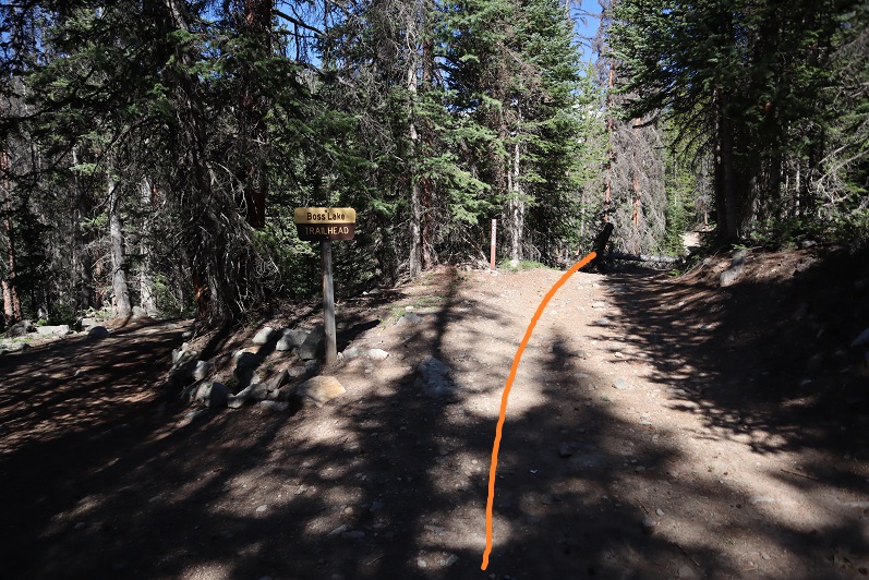
The trail follows the 230 4WD road for 2.5 miles from the lower parking area. At 2.5 miles if it were light out you could see Mt Aetna on your right. I could have driven the entire way to this spot if there hadn’t been downed trees in the way.
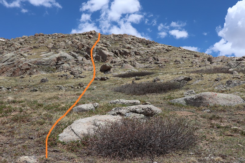
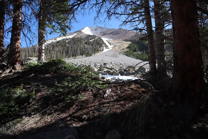
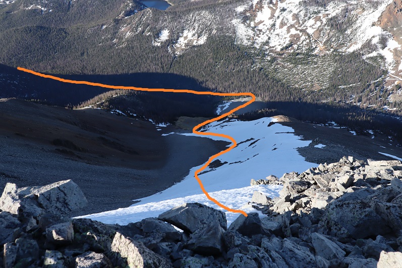
I turned right and crossed a boulder field. These rocks were loose and rolled. Since it was still dark I couldn’t see where I was going, so I headed northeast. As the sun started to come up it was obvious I had a lot of options for today’s summit. Here’s an outline of the route I took:
There is actually a lot more snow than it looks like from far away. I followed the gully about a third of the way on rocks and tundra until I had a decision to make: take the ridge to the left, the ridge to the right, ascend the scree just to the right of center, or put on crampons and go straight up the snow
I decided today was a good day to practice my couloir climbing. The snow was firm and I wasn’t the slightest bit tired yet. I strapped on my crampons, got out my ice axe (I brought along two proper ice axes this time but only needed one) and got to climbing.
I changed my intended route several times because the snow was steeper than it looked in some sections.
Once I made it to the ridge I found it was easier to keep my crampons on and walk along the snow than it was to walk on the loose rocks, so for as long as I could I stuck to the snow
Eventually the snow ran out and I followed the rocky but (mostly) dry ridge to the summit
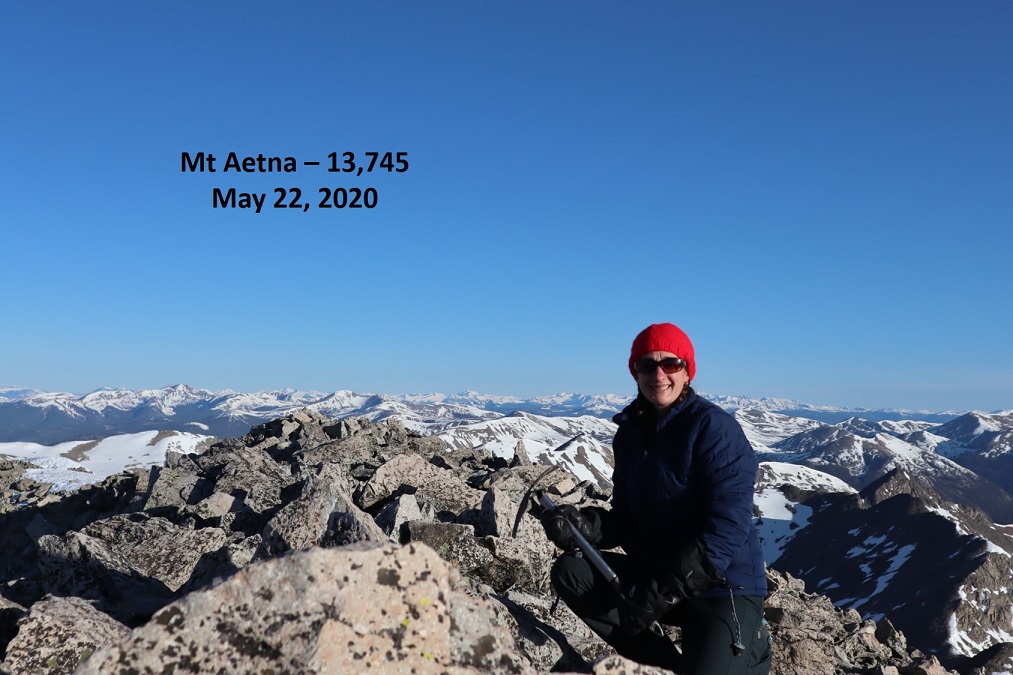
I summited at 7am and kept thinking to myself “that was much easier than I’d anticipated: why don’t I like couloir climbs again?”
Mt Aetna Summit:
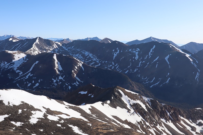
I stayed longer at the summit than I usually do, taking a good look at the nearby mountains I wanted to summit tomorrow, checking to see if the crux area was free from snow. It looked like it was, but a lot of the area seemed to be hit or miss with snow and too much was still in shadows to be completely sure.
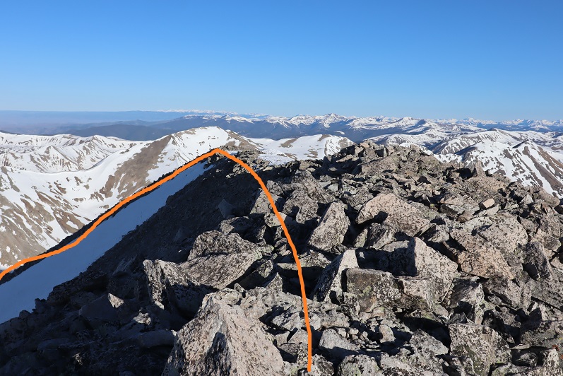
Here’s the route I took down, keeping to the snow as much as possible.
Make no mistake, it’s steeper than it looks but the snow was still firm and I was able to walk down the entire way without turning to face the mountain.
What’s nice about this climb is you have a visual the entire way up and down of where you need to go.
I made it back to the road, turned left, and followed it back to the trailhead.
I made it back to my truck at 10am, making this an 8 mile hike/climb with 4103’ of elevation gain in 6 hours, 45 minutes.
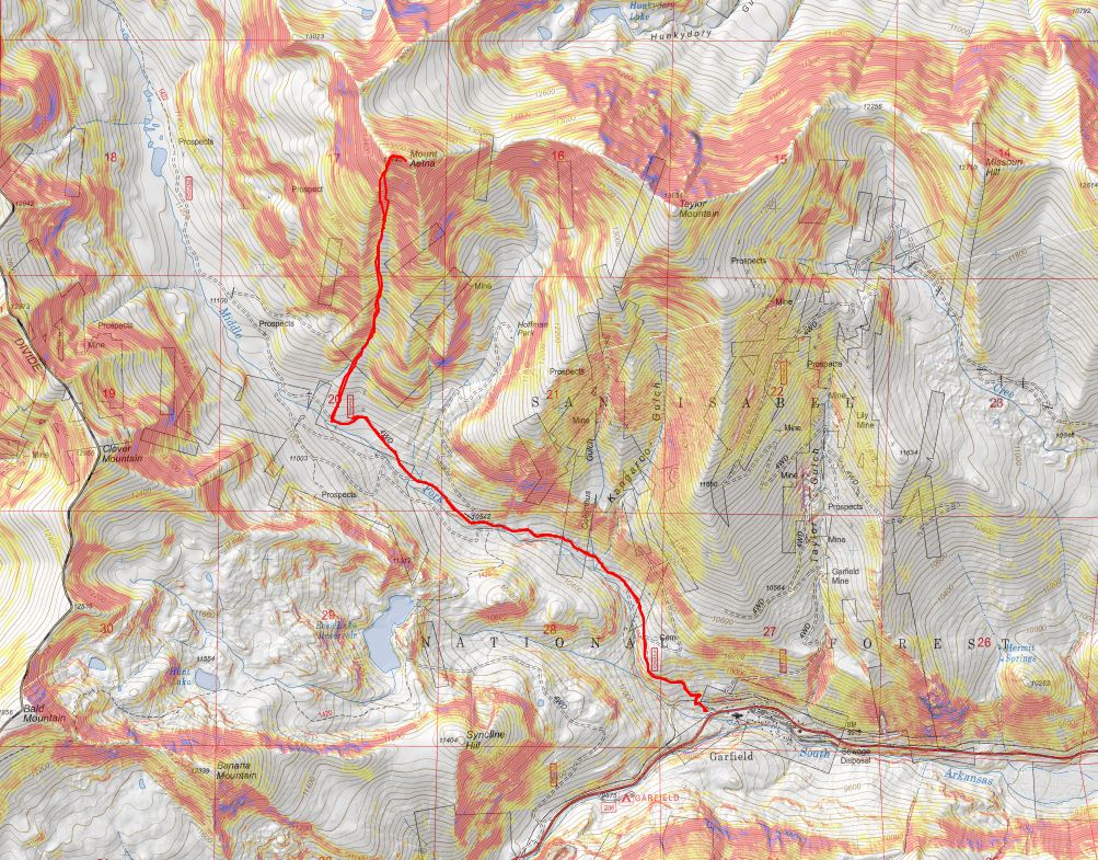
Here’s a topo map of my route.
Now I was off to the next trailhead. As soon as I came to an area with cell-service I pulled over to text my kids and see how they were doing (they were still sleeping). As I was sitting there an undercover cop pulled someone over for speeding right behind me. At first I only saw the flashing lights and thought I was in trouble for something. I sat there for a good 20 minutes and luckily for me, I was never approached and the police officer left before I did. But I got to see him again.
I turned onto CR 240 as I was headed to my next trailhead and saw two police vehicles parked on either side of the road. There were two police officers standing outside of their cars, stopping vehicles. I panicked and turned right into the (semi) residential area, drove for a bit, parked, and thought about my next move. Should I try to continue on to the trailhead, or turn around and go home? In the end I chose to continue to the trailhead: If I got stopped and ticketed or told to turn around at least I’d have beta for the next person.
I drove back the way I’d come and slowed down when I came to the police officers. I waved to them, and for some unexplainable reason, they waved me on! Woot! Maybe because I’d turned from the residential area and not the main highway they assumed I was a local? In any event, I drove the rough 4WD road to the next trailhead, found a place to park, made dinner, jotted down some trip notes, set out my gear for the next day, walked around the creek for a bit, knitted a hat for tomorrow, read a bit from a Colorado History book, had a few glasses of whiskey and went to bed early (tomorrow was going to be a long day). Oh, and I didn’t see one other vehicle drive down the road the entire time I was there, and it’s Friday to Memorial Day weekend at a well known dispersed camping area.
RT Length: 9.5 miles
Elevation Gain: 4600’
After binge watching Stranger Things this week I was a little worried about hiking alone for miles in the dark but decided to go for it anyway. It was snowing at the trailhead but I could see stars in the sky so I figured the snow wouldn’t last long. I arrived at the trailhead at 5:15am and was on the trail by 5:30am. The parking lot was empty when I arrived (two other vehicles were there when I got back.
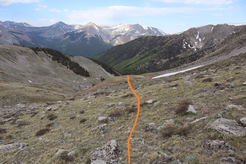
It was apparent after the first 20 feet or so I wasn’t going to be spooked hiking solo in the dark. I’ve done this hundreds of times before and still felt comfortable. In fact, I was a little upset I hadn’t started earlier. From the parking area I walked west to the Rainbow Trail
At the Rainbow Trail I turned right and headed northwest for 8/10 of a mile
The trail here was covered in fallen trees and snow, but was still manageable
I crossed dry creek (yes, it was dry) and continued to just past a meadow,
before turning left onto an unnamed trail that would lead me to the summit of Horn Peak.
Right about now the sun was starting to rise, and I got my only scare of the day: I heard a strange noise coming from behind me to the left and jumped a bit before realizing it was a turkey gobbling. Must have been because day was breaking. I saw some turkey tracks here too
I followed this new trail southwest to a trail register
Signed the register and was on my way. The trail was easy to follow, but kept going up, up, up for about a mile and a half
The snow here was soft, and I could tell I’d need my snowshoes on my return. I got my first view of Horn Peak and saw it had a light dusting of snow
I was able to wear microspikes until I came to the gully that crosses over from one side of the mountain to the other. Here I donned my snowshoes to traverse the small gully. I’m not sure I could have made it without them
Once past the gully the trail conditions kept changing. The trail could be dry, covered in snow, or a mixture of both. I kept my snowshoes on, even when unnecessary.
I made it to the ridge after hiking 3.3 miles
Here I turned left and followed the ridge to treeline.
I saw 5 or 6 ptarmigans and some ptarmigan tracks. The birds were quick to fly away when I startled them, so no pictures of the actual birds. I was surprised the ptarmigans were already brown, figuring they’d still be in their winter whites
There was an old trench I re-trenched to treeline, which was slow going but it was nice not to need to route find.
At treeline I stopped to take off my snowshoes, as I could see they wouldn’t be needed for the rest of the hike to the summit. Here’s the route I took to point 12665
It’s actually much steeper than it looks
Once at point 12665 I turned left and started hiking the rest of the ridge to the summit
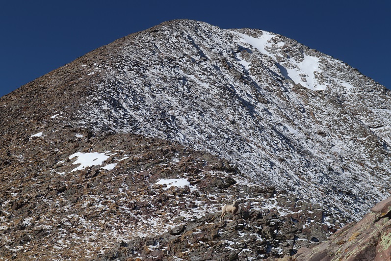
About halfway along this ridge I saw some bighorn sheep. I noticed them before they saw me, so I got to see them startle when they saw me. They jumped a bit, and then walked away. Here’s one of the younger ones
Bighorn Sheep
At about this time I started keeping a close eye on the weather. Clouds were forming around 13K. Not big clouds, but it was supposed to snow after 3pm and the clouds seemed to be forming pretty fast. It was neat to be eye level with them
The ridge was full of loose rocks the size of toaster ovens so I was careful with my foot placement
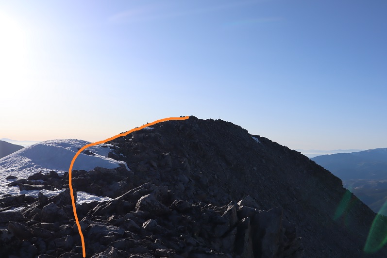
In no time at all I found myself at the summit!
Here I saw the Bighorn Sheep again
The views of the Crestones were absolutely amazing!!!
Here’s my summit photo
Summit Views
I wanted to stay on the summit forever! There was no wind, the weather was perfect, and the views were amazing. It wasn’t lost on me how lucky I was to be here right now. But, watching the clouds forming I realized I should get going, so I turned to head back down the mountain
Here’s the route I took back down the ridge
Point 12665
And the ridge back to treeline
I could see a small grass fire starting in the distance. I think they put it out quickly because I saw a fire engine leaving the site on my way back
Once back below treeline I put on my snowshoes. The snow was indeed soft and progress was slow going as I kept postholing in slush. On the positive side I could follow my previous tracks when there was snow, and the trail when there wasn’t
I kept watching as the sky kept getting darker and darker, and then as little snow flurries began to fall. Hmmmm. It wasn’t yet 1pm and it wasn’t supposed to snow until after 3pm. I was glad I’d left the summit when I did, as it was now covered in snow filled clouds. I made my way back to the trail register and signed myself out. Then headed right (southeast) on the Rainbow Trail
I made it back to my truck at 1:30pm, making this a 9.5 mile hike with 4600’ of elevation gain in 8 hours. Slow going, I know, but that’s a lot of elevation gain for such a short distance!
For those interested, here’s the path I took
Disclaimer: Due to Covid-19 concerns, before attempting this hike I contacted the County Sheriffs department to see if I could hike in the area. In fact, I contacted several different counties, and when they told me their trails/cities were closed I just went on down the line, looking for an open place to hike. I was told by this county the trails and trailheads were open but they weren’t openly endorsing/encouraging people to hike. I was asked to not stop in town for gas/food/etc. and was notified the bathrooms would be locked (as they usually are this time of year) and if I was in need of rescue it would take extra time for SAR to be deployed. I was ok with all of these stipulations and decided to hike. I didn’t see another person all day and was glad I’d made the decision to head to the high country.
After our misguided attempt at PT 10245 a few weeks ago we really wanted to summit this peak asap, but the weather wasn’t cooperating and my cookie deliveries kept getting in the way. Finally, today seemed like a good day to try it again.
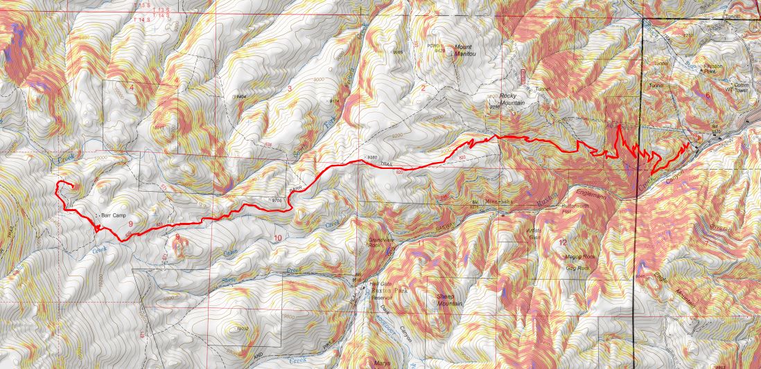
We arrived at the Barr Trail parking lot at 5:30am and were on the trail by 5:45am. The parking situation is the same as last time: $10 via card at the kiosk.
From the beginning microspikes were necessary. We kept them on for the entire hike.
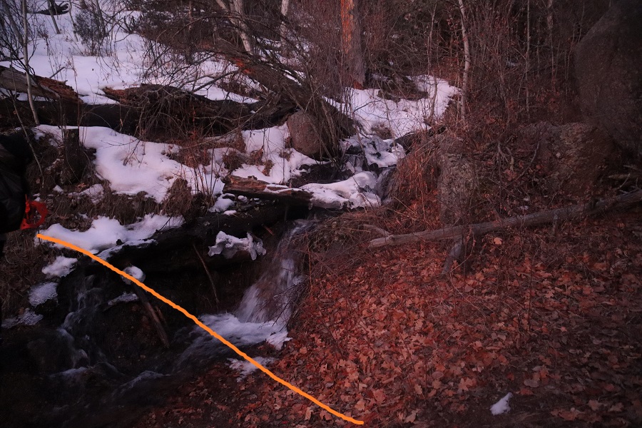
The creek just after the Barr Trail / Incline turnoff was flowing nicely
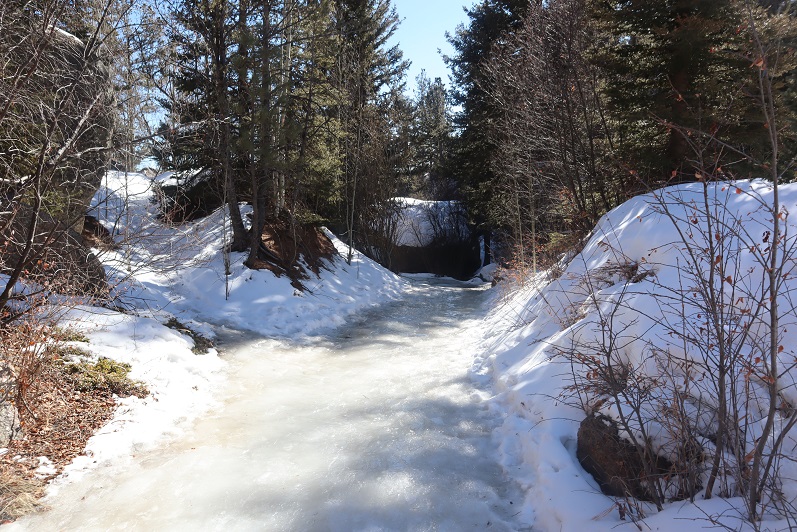
The ‘cave’ had some snow
Just before the experimental forest, where the path was all ice 2 weeks ago it was now covered in several inches of snow and nicely trenched. This made it much easier to navigate.
We turned left at the experimental forest and continued along the well trenched Barr trail.
Past mile marker 5.5
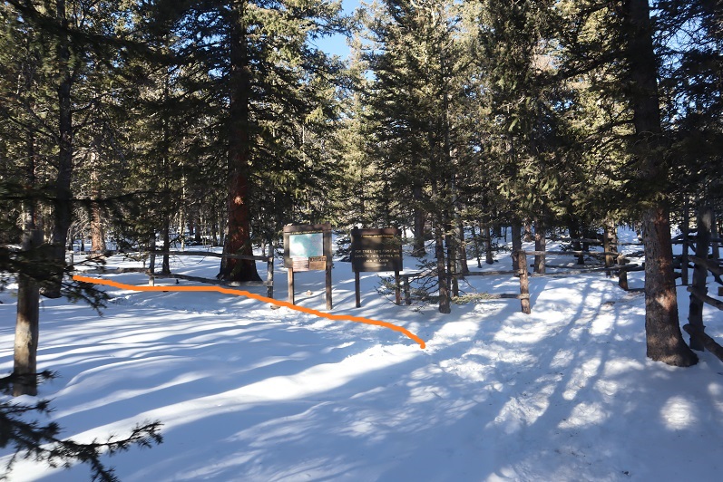
Here’s where we messed up last time: We had gone all the way to Barr Camp (6.5 miles) and at the advice of the guy staffing Barr Camp took the trail just after Barr Camp, ending up at AdAmAn Peak instead of PT 10245. To be fair, the routes are strikingly similar, and while AdAmAn is unranked, it is taller than 10245 at 10405′. This time we were prepared and looked for trail 671, which is about a mile before Barr Camp. This is where we found it:
I’m sure there’s an actual trail here, but today it was covered in snow and not detectable. We put on our snowshoes and got ready to trench. At the above sign we left the Barr Trail and headed right (north), trenching our own trail, skirting the rock formation to the left
and heading down a small hill, losing about 200 feet of elevation before coming to a creek and turning left (northwest).
Here I was able to pick up the trail again anf followed it around the creek. Please note, this was NOT South Fork French Creek, but a willow filled off shoot.
We followed the ‘trail’ until it seemed to end. We were just about parallel with AdAmAn peak at this point. Here we turned right (northeast) and could see PT 10245
We were going to have to cross an aspen grove to get to the peak. When we were right in the thick of it Steffen said: “This looks like the type of place you’d see a moose” and about 2 steps later we saw evidence a moose had spent the night here. In fact, on our way back we saw moose tracks going over/through our trench, so we must have scared him/her away with our approach.
Once past the aspen grove we were in the willows. I’m pretty sure this is where we crossed French Creek, but it was frozen and covered with snow so all we saw was a marshy area. Trenching here wasn’t fun: I sank up to my thighs several times. Here’s the path we took through the trees to the summit
There were large boulders everywhere, and a band of boulder piles to the right that weren’t climbable. Sticking center left of the mountain seemed to work well.
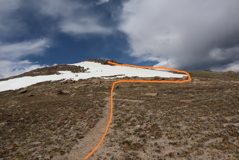
At several points we wanted to take off our snowshoes, but then we’d encounter snow that made us thankful we hadn’t. The summit was located to the left, at the mountain’s northernmost point. There was a cairn indicating the summit. We sumited at 9:50am
There were beautiful views of Pikes Peak, with AdAmAn Peak below (the pile of rocks in the center of the photo).
We took summit photos
and headed back down, solidifying our trench
back through the willows
and to Barr Trail, where we took off our snowshoes and continued our descent. The trench on the trail was indeed deep in places, and microspikes were still appreciated after the incline cutoff.
We made it back to my truck at 12:45pm, making this a 14.15 mile hike with 4000′ of elevation gain in 7 hours. I got a bunch of pictures on the way back, but unfortunately I’m still learning how to use my camera and it had been stuck on ‘program’ mode for the entire hike down, making my pictures all dark and fuzzy. We gave each other a high-five at the bottom, glad to be able to say we’d actually summited the correct peak this time. Check off another El Paso County Highpoint! Here’s a link to the GPX file, for those interested.
Steffen was interested in visiting Barr Camp, it felt like it’d been forever since I’d been, I hadn’t been aware of and the weather was perfect, so today seemed like a great day to hike the Barr Trail.
I wasn’t able to find a lot of information on this peak, but looking at the Pikes Peak Atlas it seemed to be just behind Barr Camp. I figured we’d figure it out.
We arrived at the Barr Trail parking lot around 5:30am and were surprised the parking situation has (again) changed. As of today it’s $10 to park in the upper lot. Last time I was here it was $40, but it’s been $5, $10, and $20 in the past. The parking app is gone, and the fee machine is back. This is all good news.
We gathered our gear and were ready to go at 5:45am. The guy who parked next to us unfortunately left the dome light on in his truck, but fortunately (maybe?) he also left his truck unlocked so we were able to shut it off for him. He was planning on summiting Pikes Peak and most likely had a 12 hour day; we didn’t want him to come back to a dead battery. Also, he was getting a late start if he truly intended to summit today. We ended up passing him within 20 minutes and let him know about the situation.
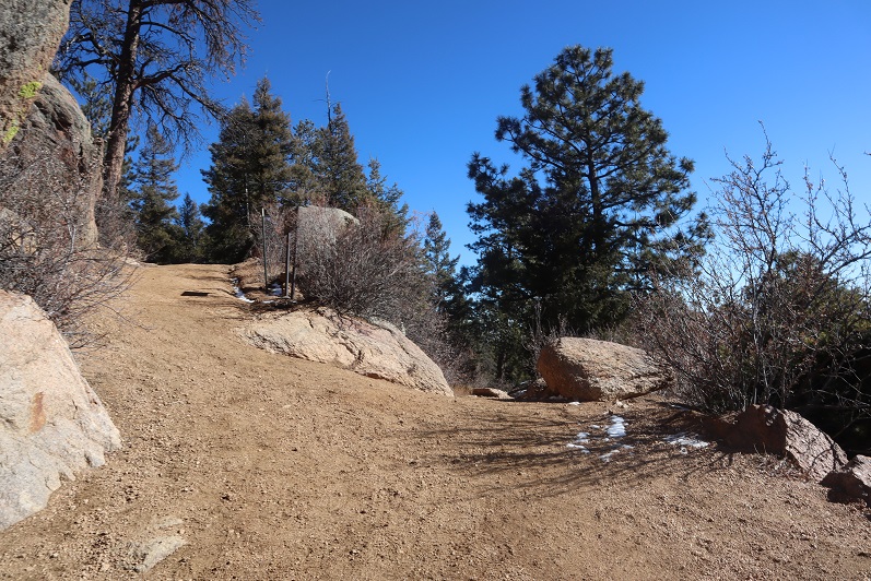
I’m not going to spend a lot of time describing the trail to Barr Camp because it’s an easy class 1 hike the entire way. There are very accurate mile markers every half mile, great signage, and as long as you stay on the trail it’s difficult to get lost, even in winter. As we ascended the first 3 miles we had great views behind us of the city lights. Too bad it’s difficult to get pictures at night.
We passed the cutoff for the incline as the sun started to rise
And as soon as we crossed the creek (which is usually dry in summer) the trail conditions changed.
They went from a bit of ice every once in a while to a frozen river of water that would be perfect for ice skating
This lasted until just after the junction with the experimental forest (turn left/southwest here)
This is where the trenched snow started, and also where I scattered wildflower seeds two years ago in memory of my Granny (yes, the seeds were local to the area)
If it were summer you could walk three people wide without tripping on each other along this trail, but today we walked single file.
Around mile 4 we heard a noise and looked up, confused to see a rather young looking squirrel jumping around in the trees. Shouldn’t he be hibernating? The views of Pikes Peak were (as always) amazing today
I stopped for a second because I saw something curious on the ground: it looked like some sort of pollen (which made no sense: it’s February) but upon closer inspection discovered they were little bugs on top of the snow! I could see them jumping and wondered how in the world they got there?
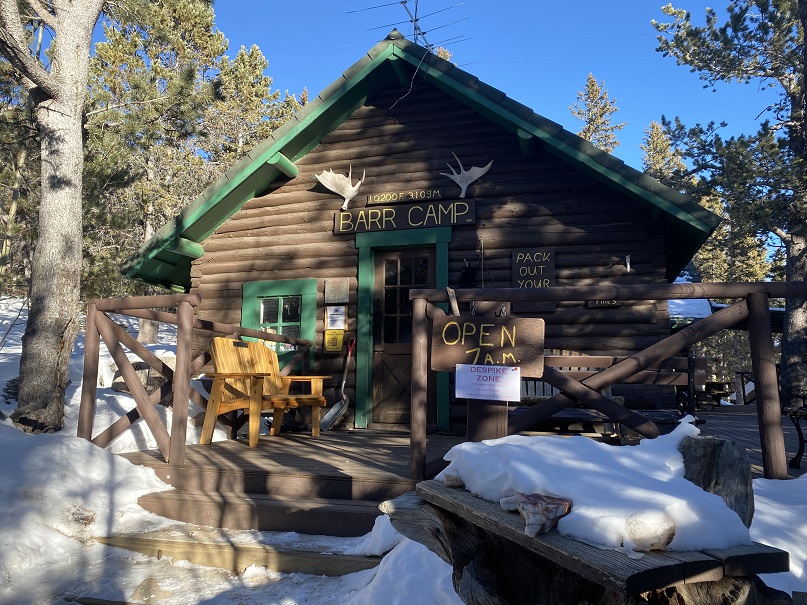
We made it to the aspen grove just before Barr Camp and I took a picture: I have a picture of this grove in every season except winter, and was excited to add this one to my collection.
From the aspen grove it’s a quick jaunt to Barr Camp
We decided to use the restrooms there and then went inside to inquire about PT 10245’
The caretaker didn’t know what PT 10245’ was, but when we looked at the Pikes Peak Atlas he said they called it “AdAmAn Peak”. (Note, this ended up being a different peak altogether). In the summer there’s a nice trail that will get you within a few dozen yards of the peak, but since it was winter the trail was covered in snow. He said to go up, then down, then up again, and then back down, heading northwest. Then there would be quartz rocks on the ground in an arrow showing us where to go (but those would be covered in snow as well). We couldn’t miss it.
Um, ok. Good thing we’re good with a map and compass! We exited the lodge, put on our microspikes, and were on our way. We took the Barr Trail again a little bit southwest (just to the end of the fence) and turned right (north) towards Elk Park on trail 652.
The caretaker had been correct: the trail was covered in snow, but some of the time we could make out where the trail was. We hadn’t brought our snowshoes, so we were having a time getting snow in our shoes (and pants, etc.). Next time remind me to bring gaiters.
We hiked on this trail for almost exactly half a mile, and we did indeed have a great view of the summit from the trail. I started to worry we wouldn’t be able to summit today: I hadn’t brought any rope and that summit looked like it needed rope!
The trick to this summit is to summit from the west. After half a mile we came to a small saddle and decided to turn right and head for the summit (this is how the caretaker should have described the route to us: follow the trail until you come to the saddle, turn right, and then scramble to the summit). Coincidentally, there were blue dots spray painted on the trees here, a good indication that’s where you should turn
There was no visible trail here, so we just aimed for the summit block (east)
Here’s how we summited:
It was a class 3 scramble and tons of fun! My advice is to initially go left up the rocks, but you summit more near the middle of the rocks. The summit was flatter and larger than I’d anticipated
There were some great views!
I’ve never seen Pikes Peak from this angle before…
There wasn’t a summit register (we looked longer than we should for one)
Time to head down. It’s not as scary as it looks…
We followed our tracks back to Barr Camp, and noticed our tracks were filled with thousands of those little bugs already! Yuck! I went home and researched them and apparently they live under the snow until it’s a nice day out, and then they hang out on top of the snow. They were very, very small. So small I’m thinking we were probably breathing them in and not noticing it. Yes, those little black dots are the bugs.
We made it back to Barr Camp and decided to buy a protein bar and leave a donation (hey, we used their bathrooms). I noticed the stream where I usually filter water was just a trickle
The hike back down was uneventful except for the flight for life helicopter we saw making a beeline for Pikes Peak (it never landed). Actually, the hike was beautiful! I’ve hiked this trail dozens of times and I never get tired of it! We kept our microspikes on the entire way, even though they weren’t necessary most of the time. The trail cleared and opened up around the incline junction
We made it back to my truck a little before 12:45pm, making this a 15 mile hike with 4027’ of elevation gain in 7 hours.
This was a really nice trail with decent elevation gain you don’t notice much because it’s so gradual.