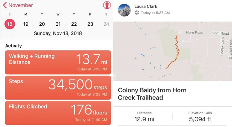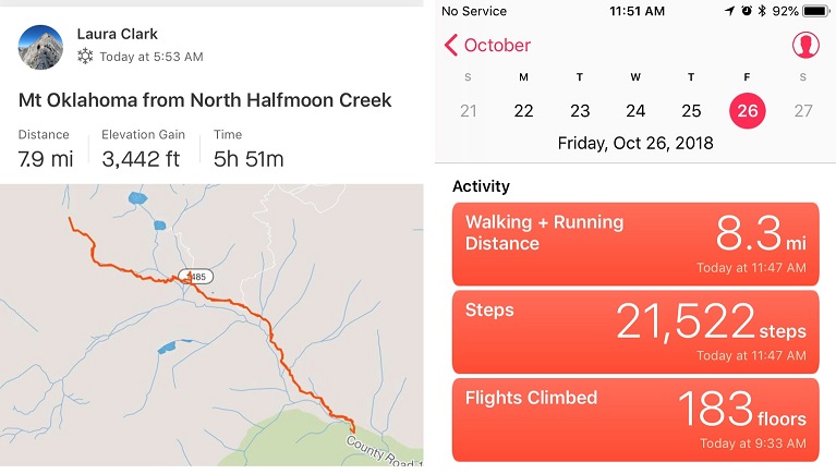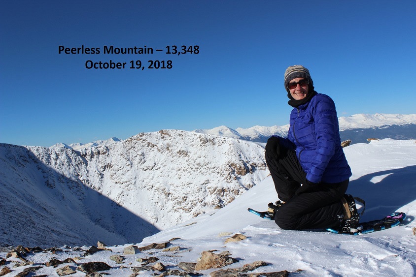
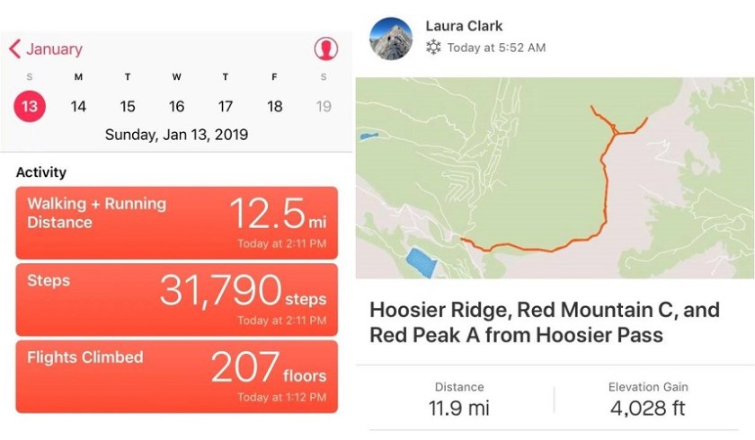
RT Length: 12 miles
Elevation Gain: 4000’
I was really excited to get to go out above treeline for the second time in as many days, but my feet were not. They still hadn’t recovered from yesterday’s trenching up Quandary. The entire drive to the trailhead my left pinky toe kept cramping up and I had to wiggle it to get the sharp pains to stop. It was still a bit swollen, red, and tender to the touch. This is normal for me the day after a winter hike and it’s usually better within a few days, just in time for my next hike. I’d recently bought some toe guards and new compression socks I was hoping would help today.
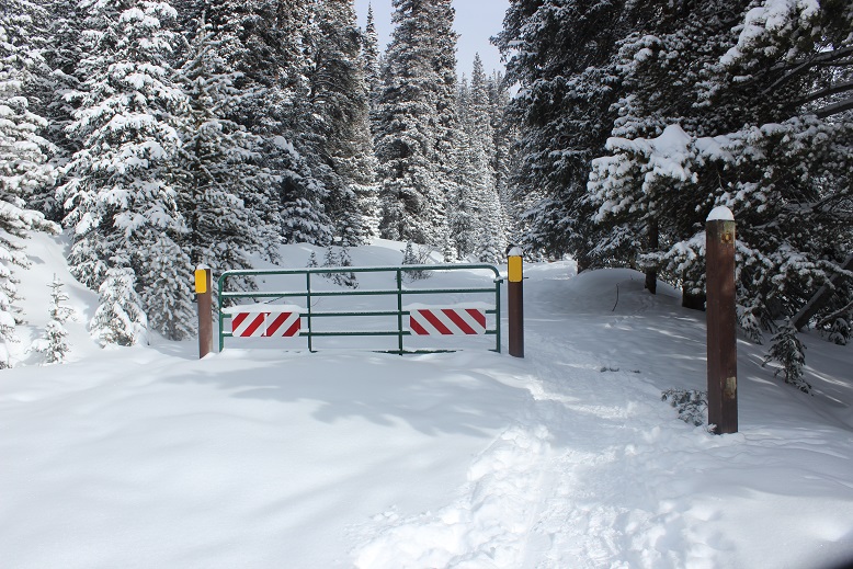
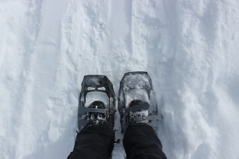
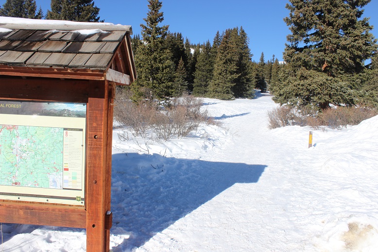
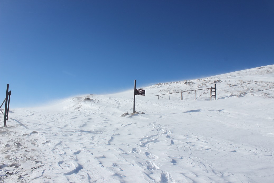
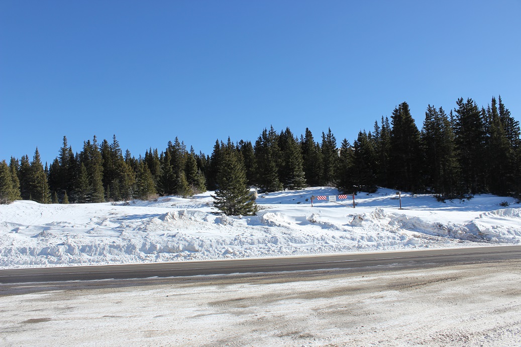
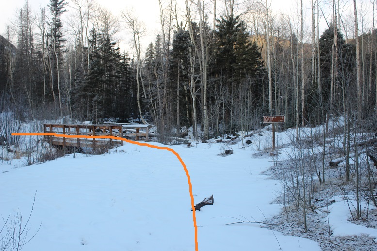
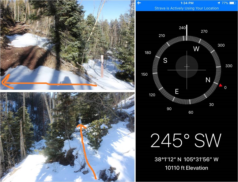
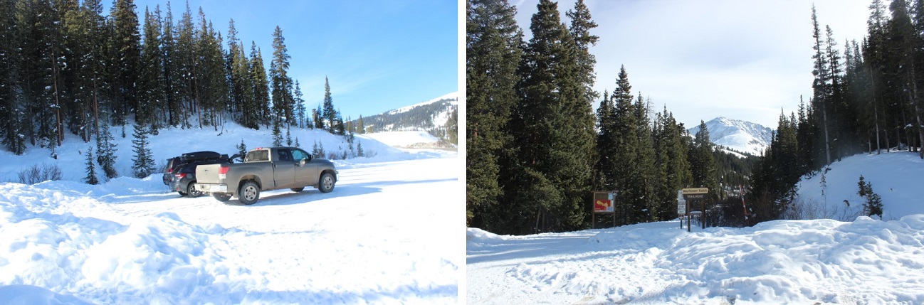
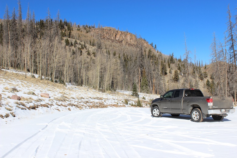
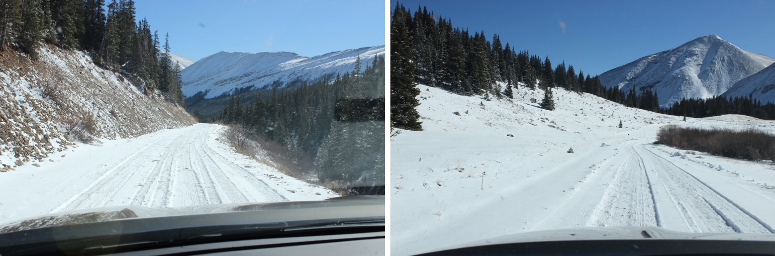
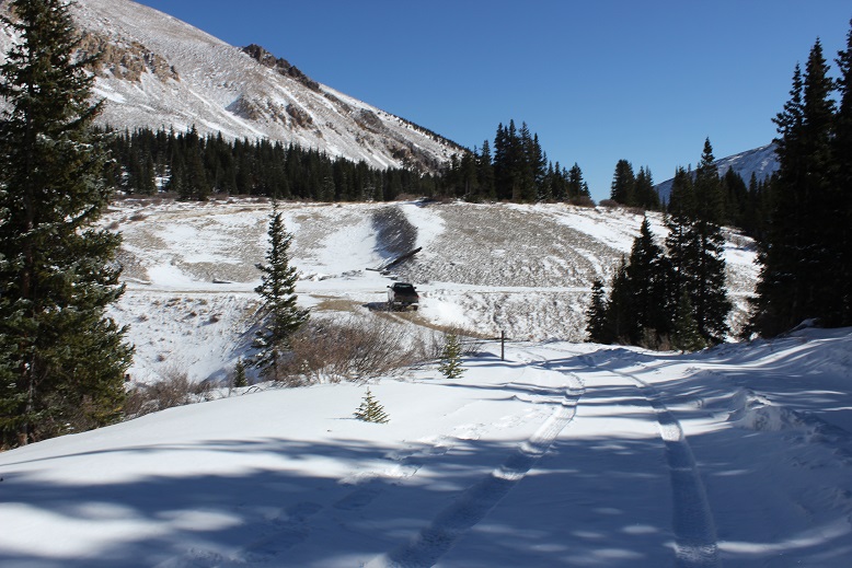
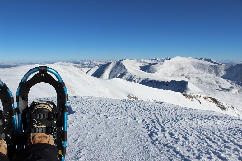
The roads this morning were much better than yesterday but due to ice I still didn’t make it above 40mph for much of the drive. I realized when I was about halfway there I’d forgotten to take my vitamins before I left the house. I hope that didn’t come back to haunt me later. I arrived at 5:30am and was on the trail by 5:45am. I put on my snowshoes in the truck with my microspikes on underneath once again (I’d not worn spikes with my snowshoes yesterday and the straps had still come undone, so I decided wearing microspikes didn’t have an effect on the snowshoes).
While it was 1* outside I was happy to discover my toes stopped hurting before I’d even crossed the street to start on the trail, and they didn’t bother me for the entire hike. I quickly warmed up as I started hiking.
Today I planned on trying out an experiment. I was going to keep my phone in my pocket on airplane mode and I wasn’t going to use my phone today for any reason until I made it back to the trailhead. I wanted to see if this helped retain battery life in the phone. The downside of this is I wouldn’t know what time I summited or have the ability to take videos of the summit. (side note: my phone is normally on airplane mode when I’m hiking).
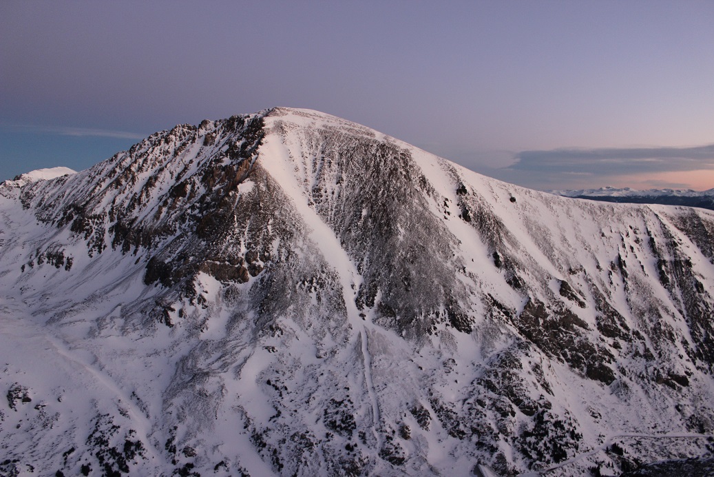
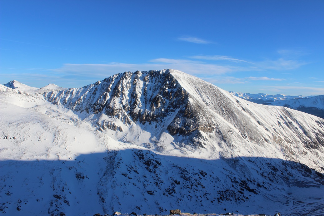
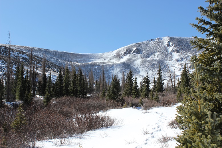
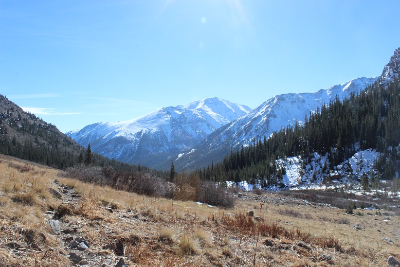
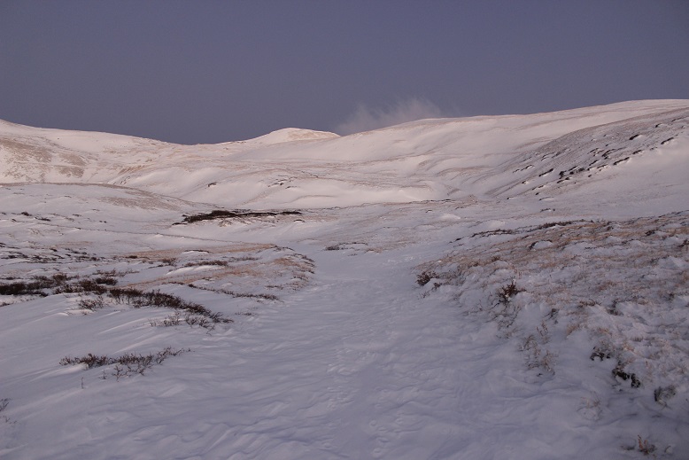
While I was hiking Quandary yesterday I studied Hoosier Ridge. It was snowing lightly on the summit so I knew even if there had been a trail it was gone now. Also, the conditions looked favorable for a climb.
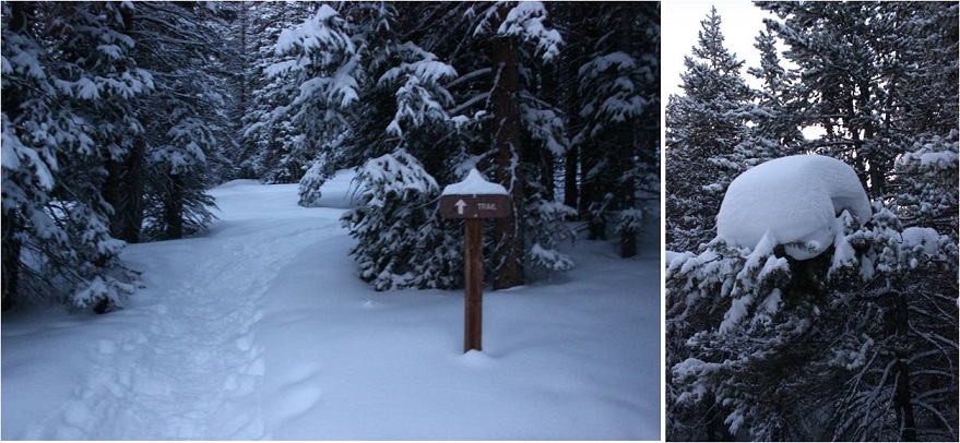
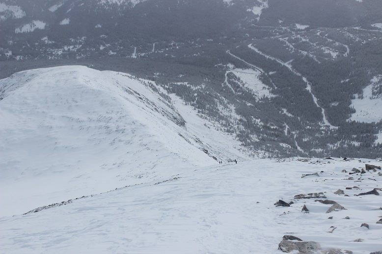
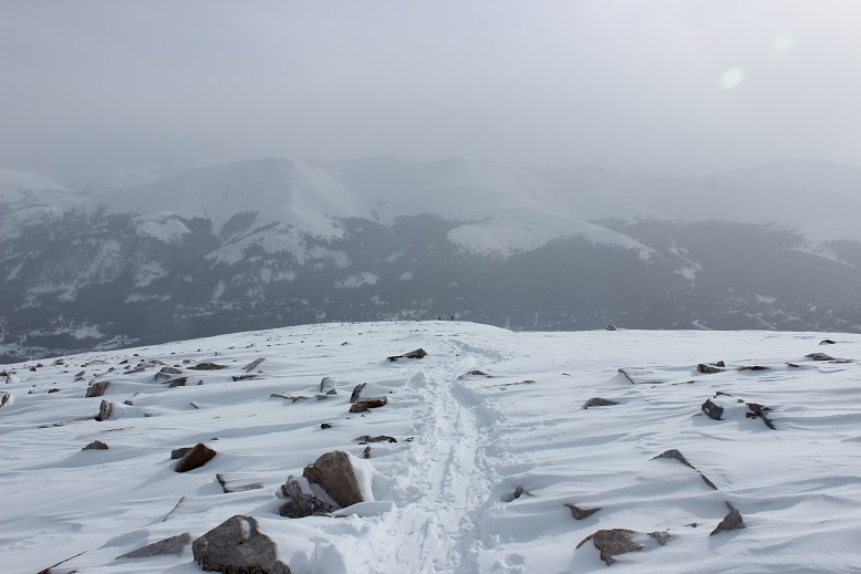
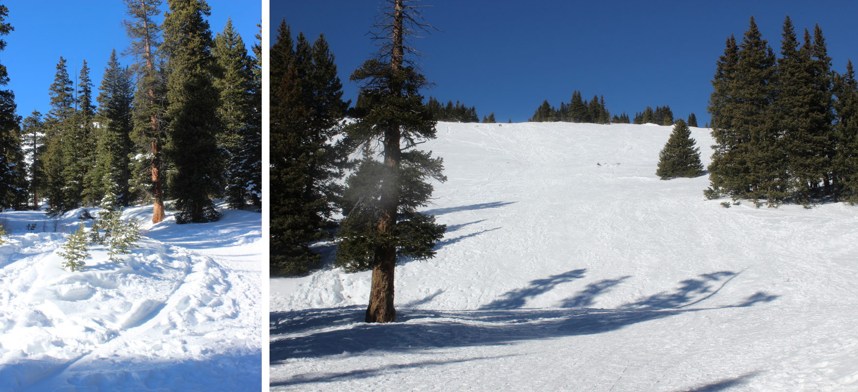
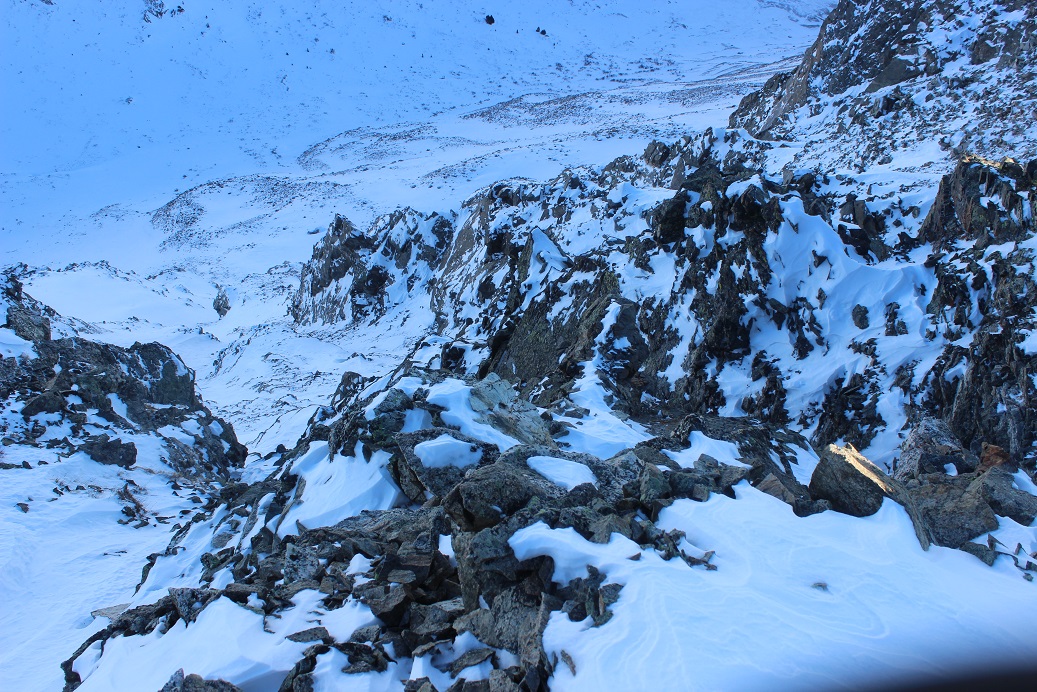
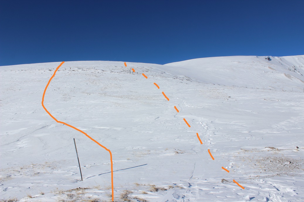
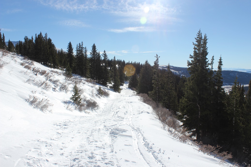
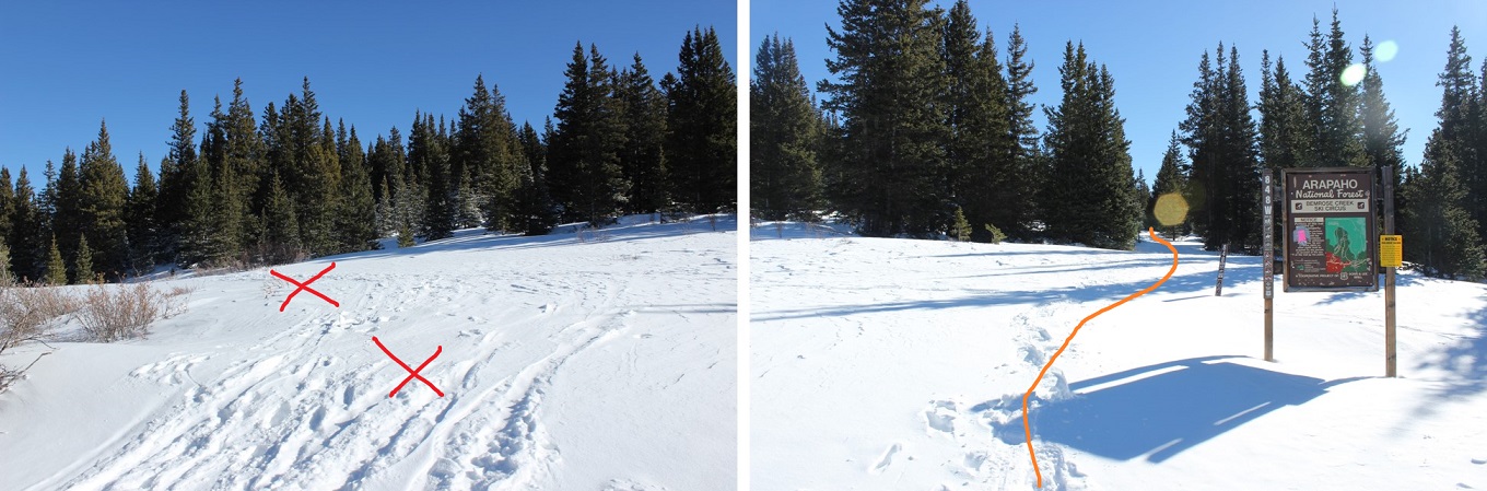
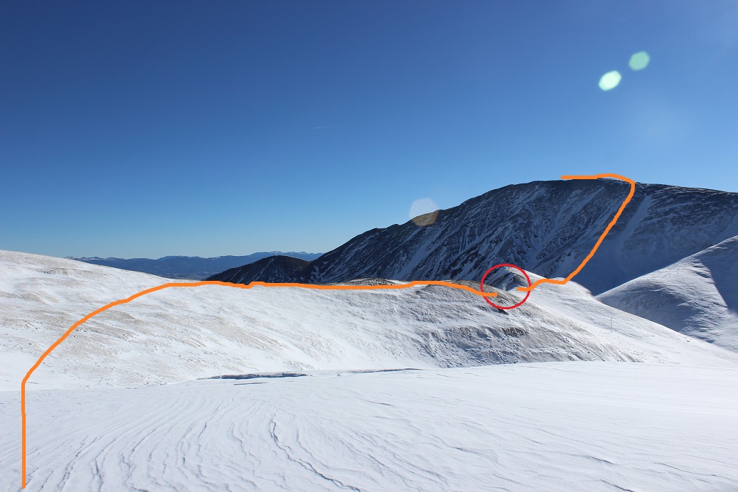
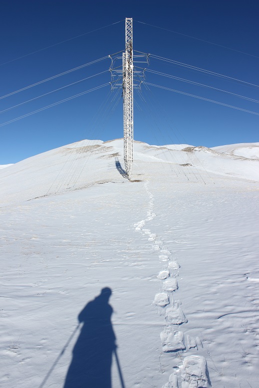
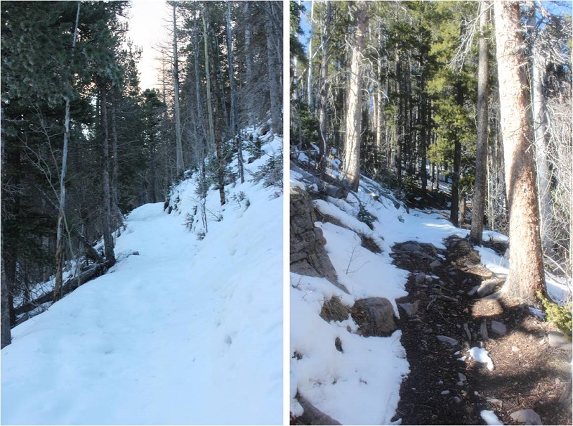
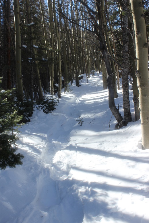
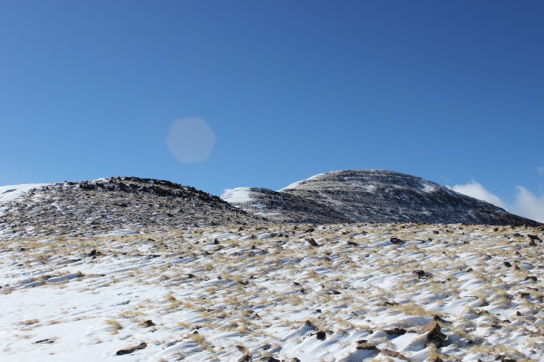
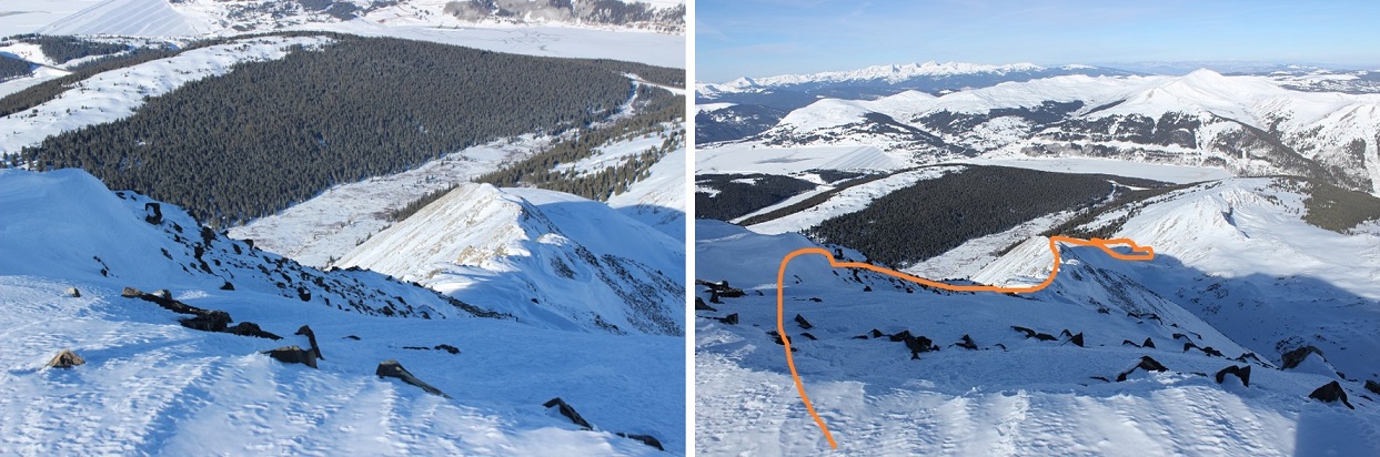
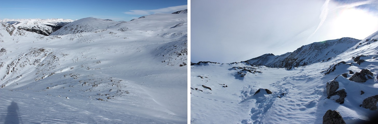
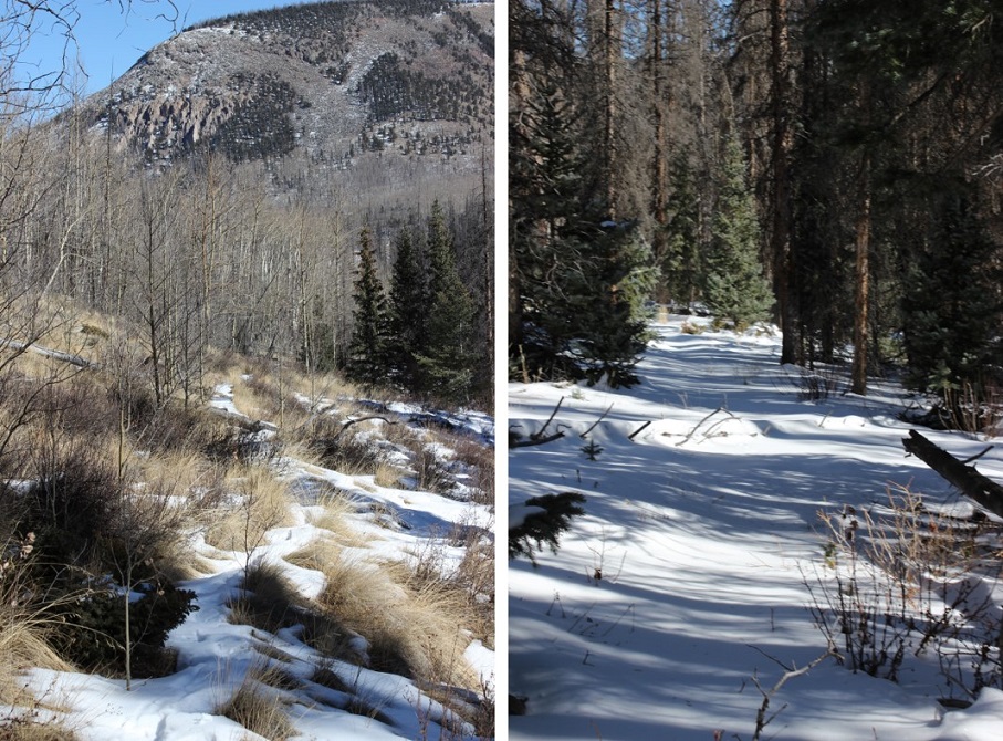
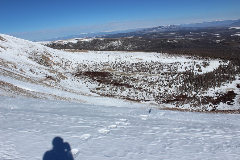
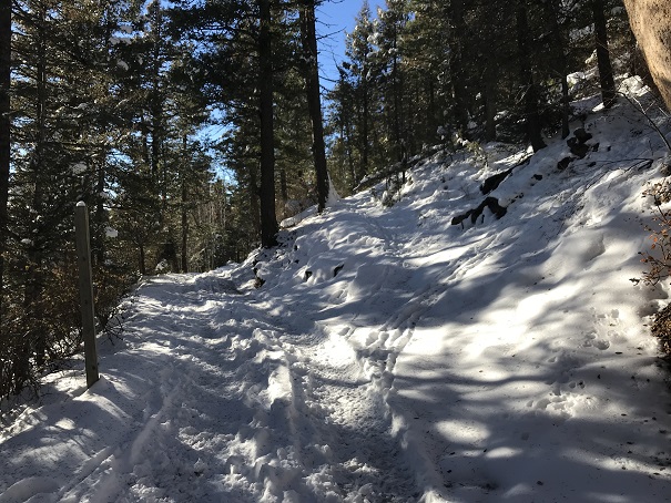
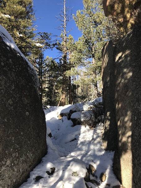
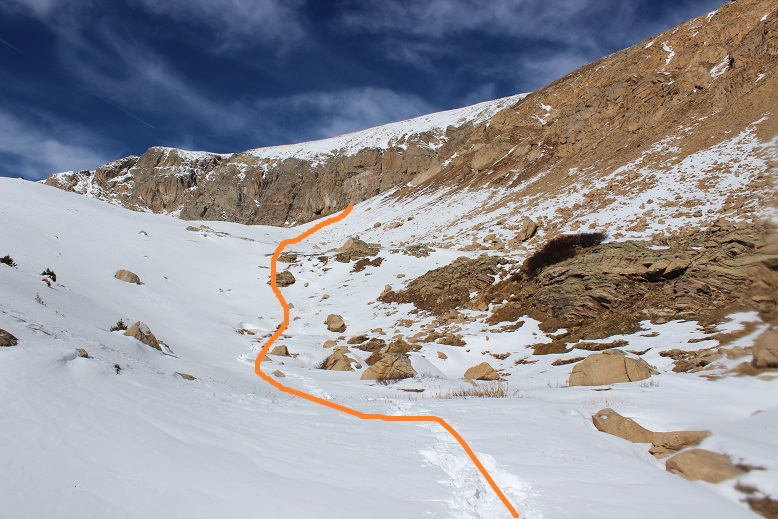
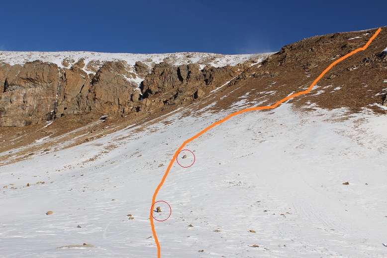
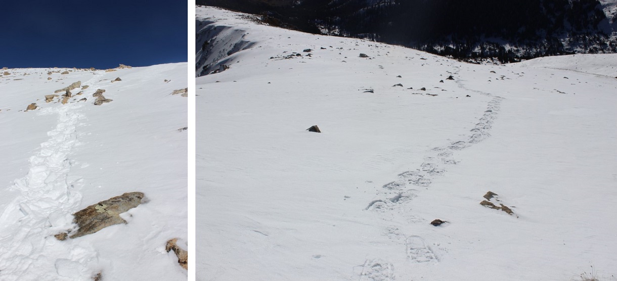
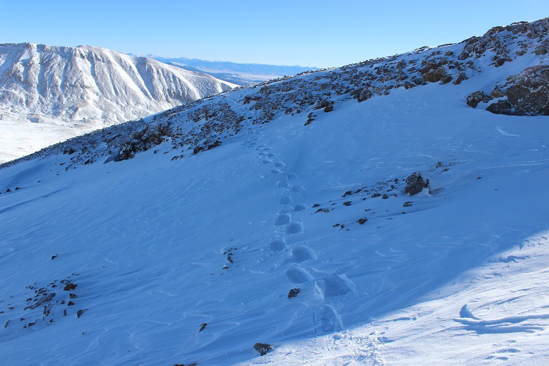
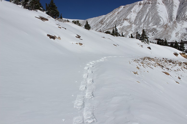
I was pleasantly surprised to find someone had trenched a trail through the willows yesterday, and it was intact until I made it to the towers area. This made the beginning of the hike easy. From here I zig-zagged and trenched my way up the slope to the beginning of the ridge.


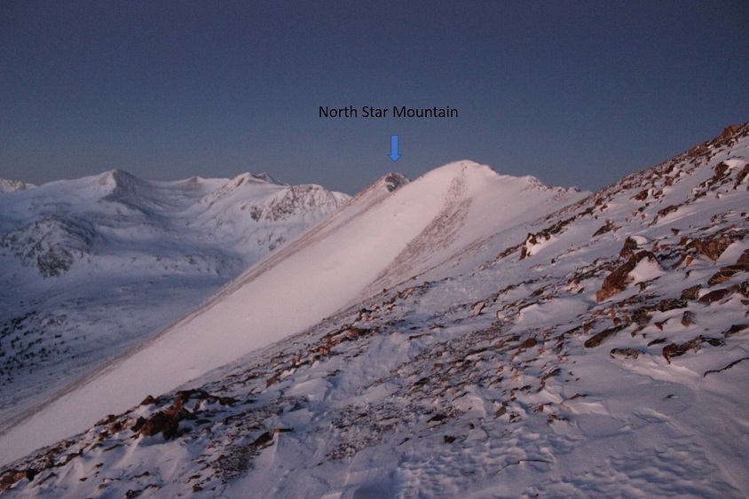
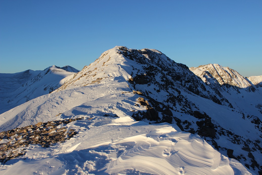
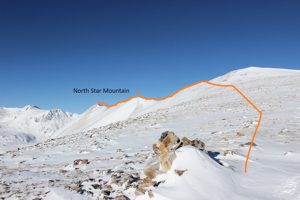
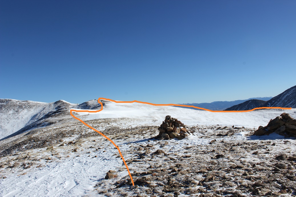
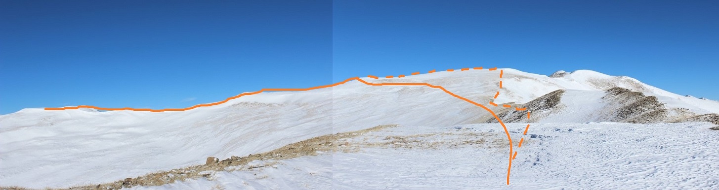
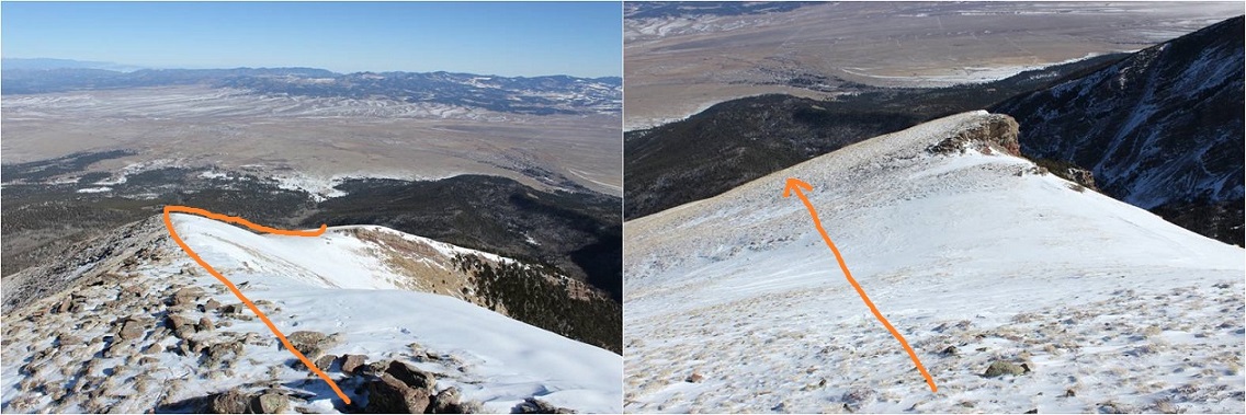
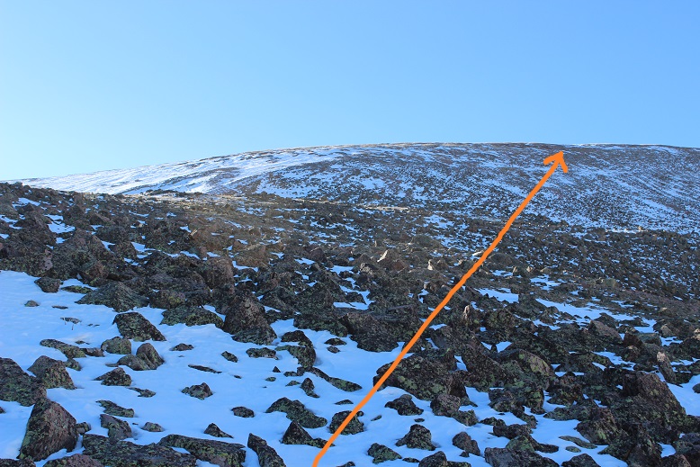
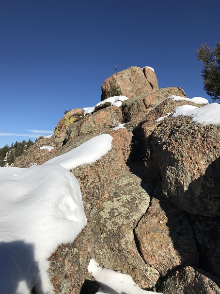
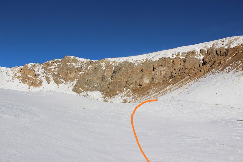
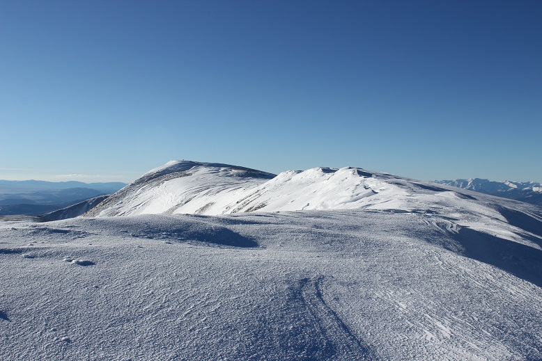
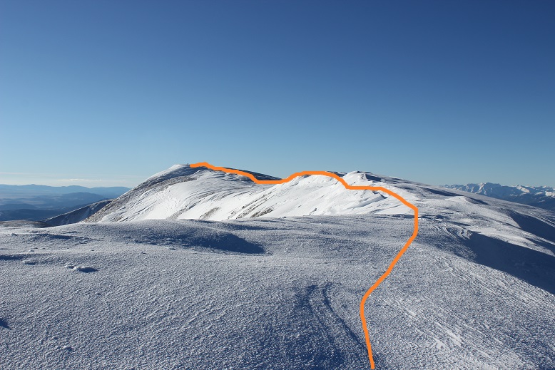
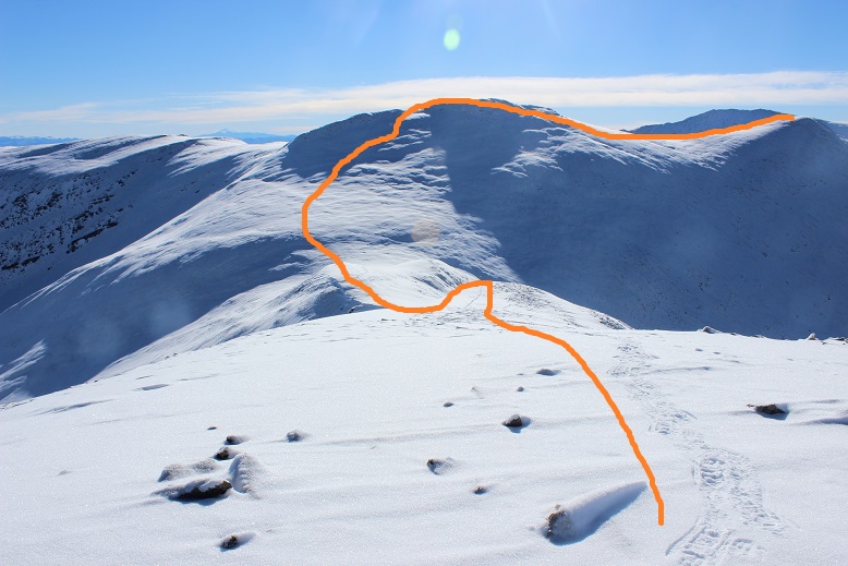
At the top of the slope I followed the ridge. At the top of each bump there are cairns, making route finding easy.
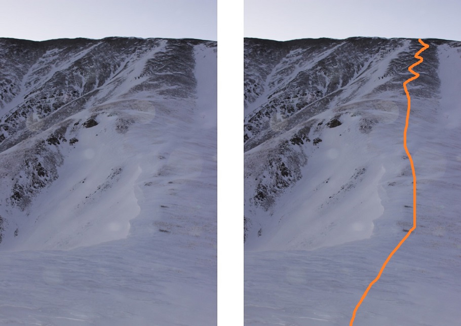
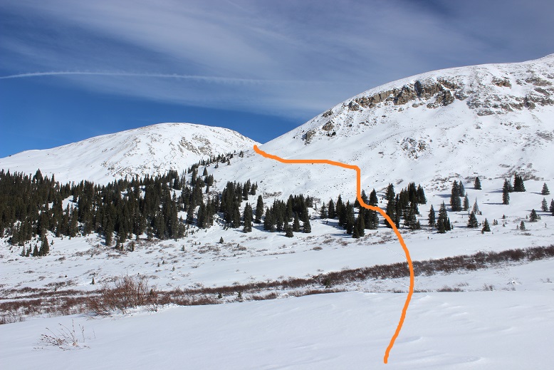
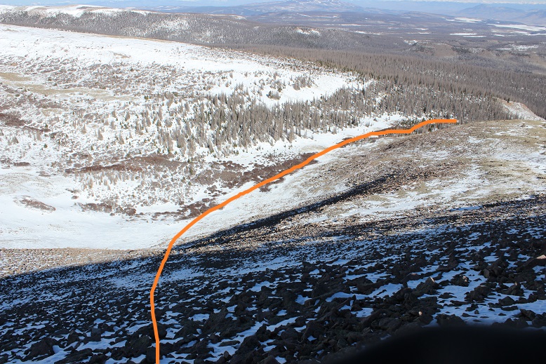
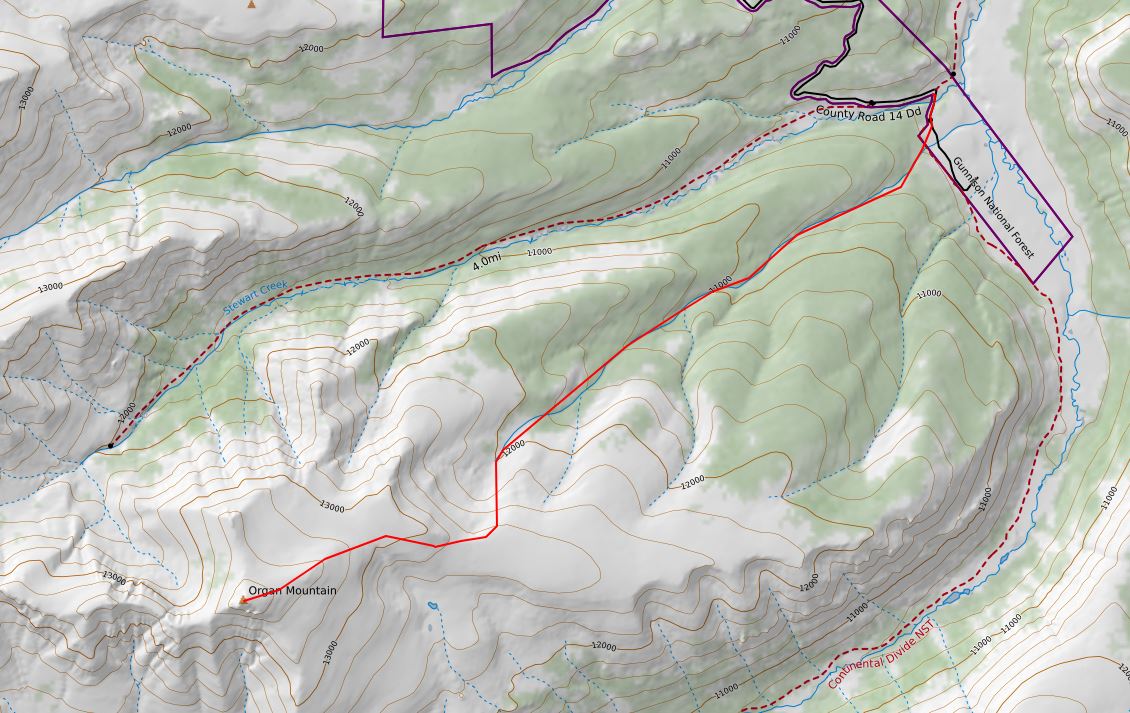
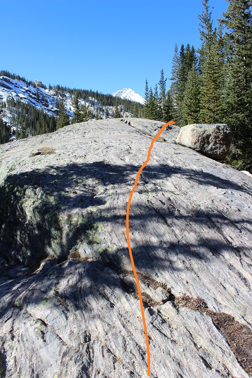
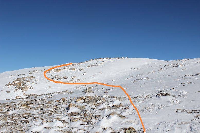
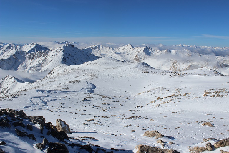
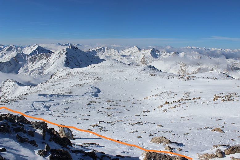
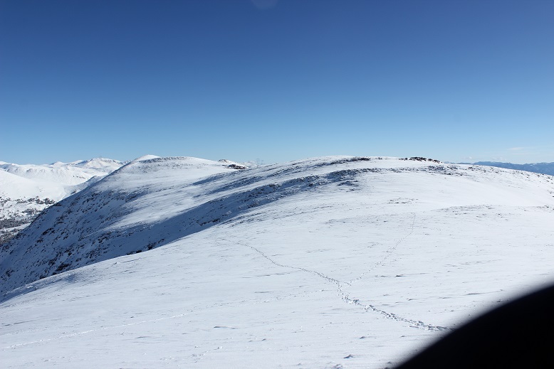
Here’s the route I took along the ridge.

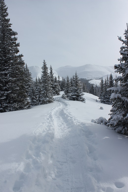
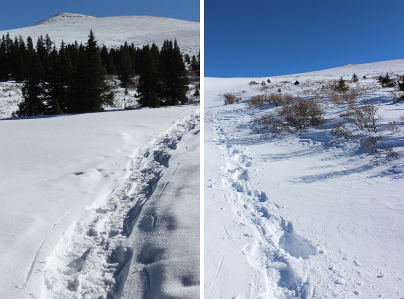
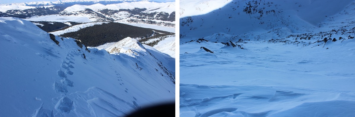
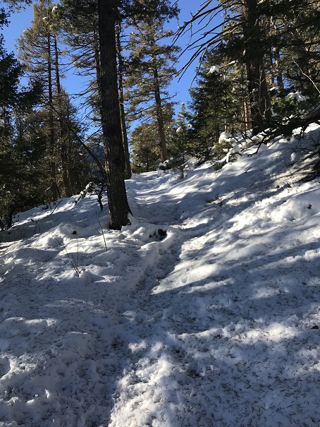
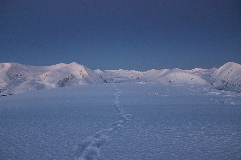
There weren’t any tracks to follow for the rest of the hike, but the snow wasn’t too deep, making trenching easy.
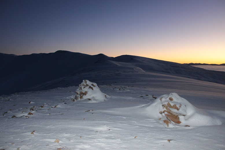
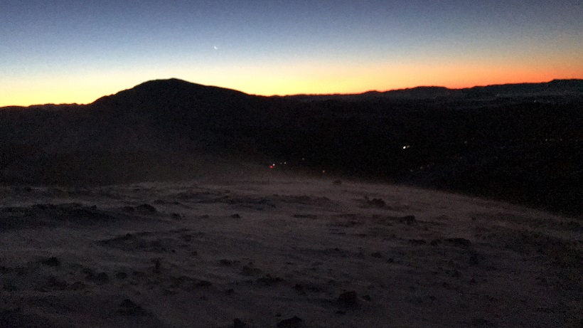
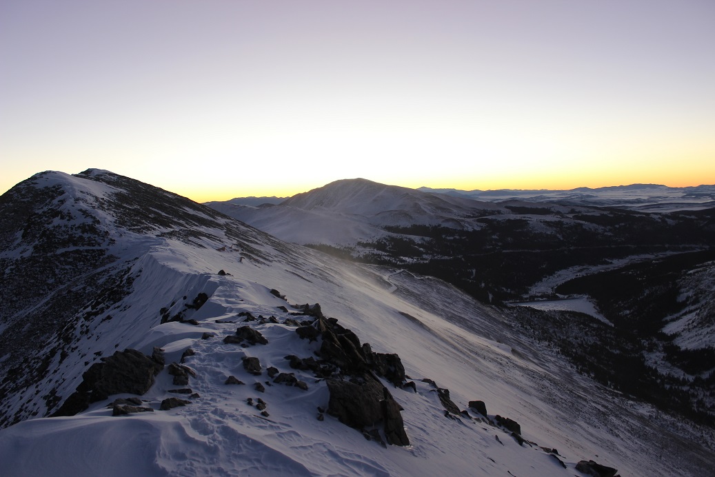
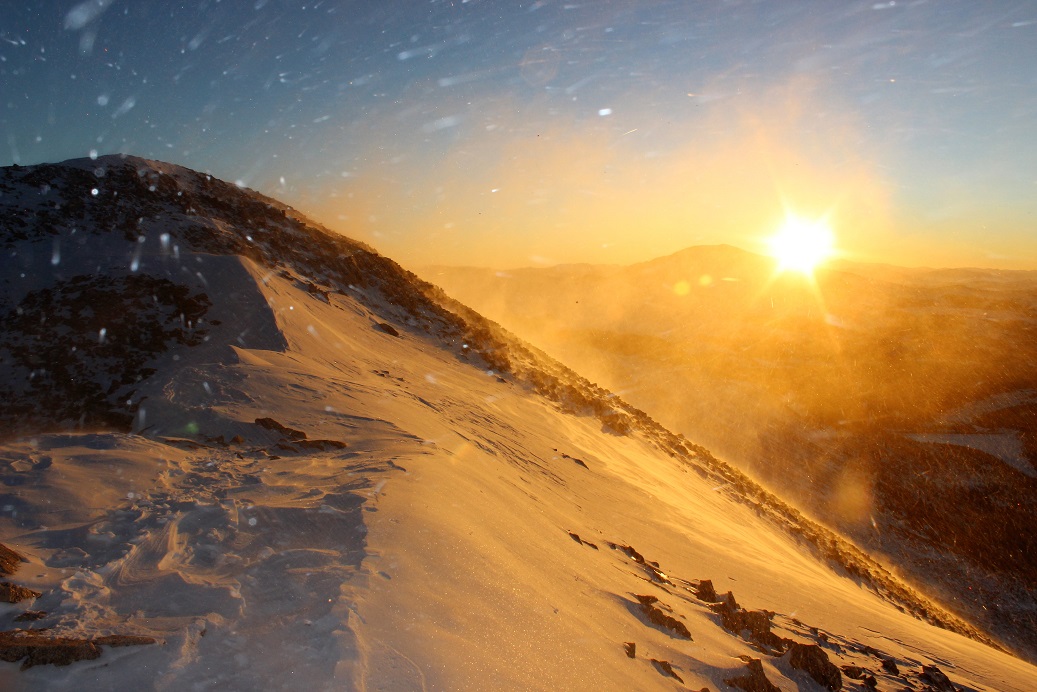
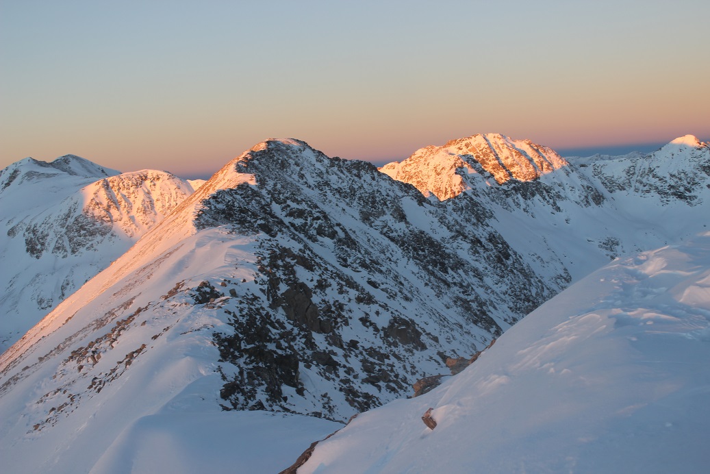
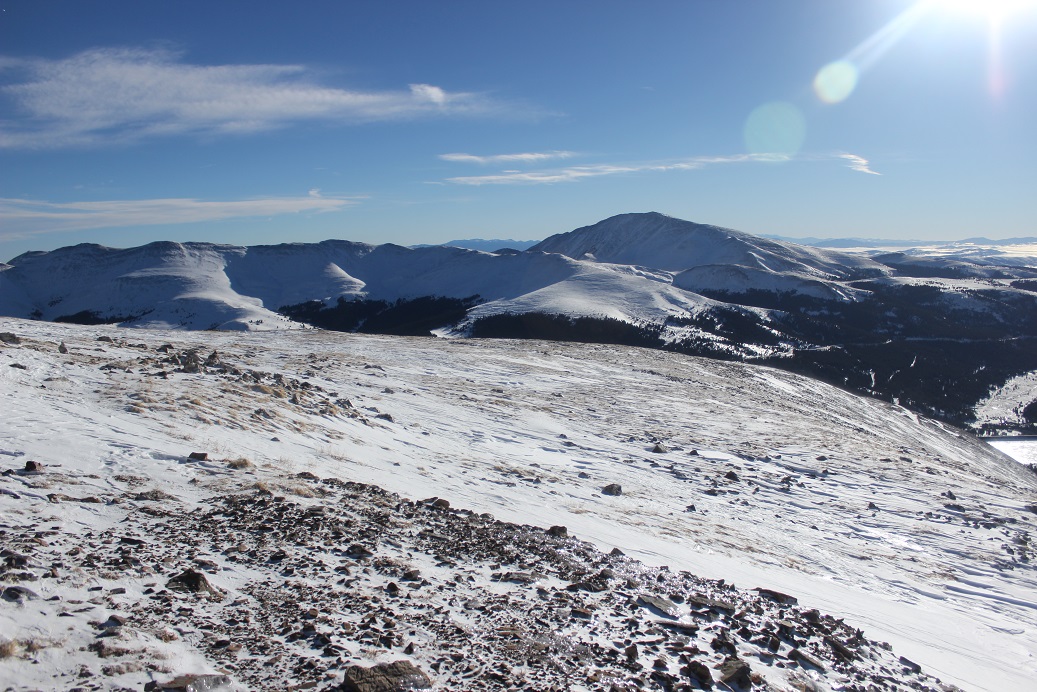
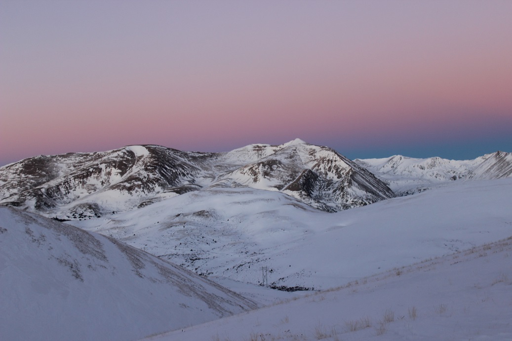
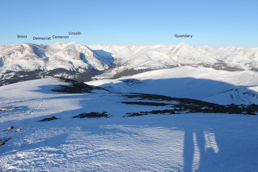
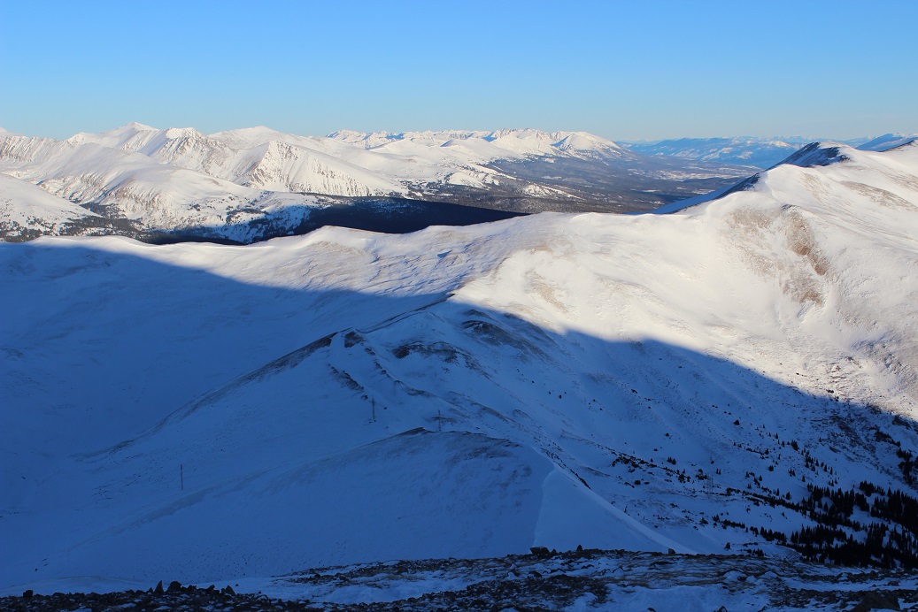
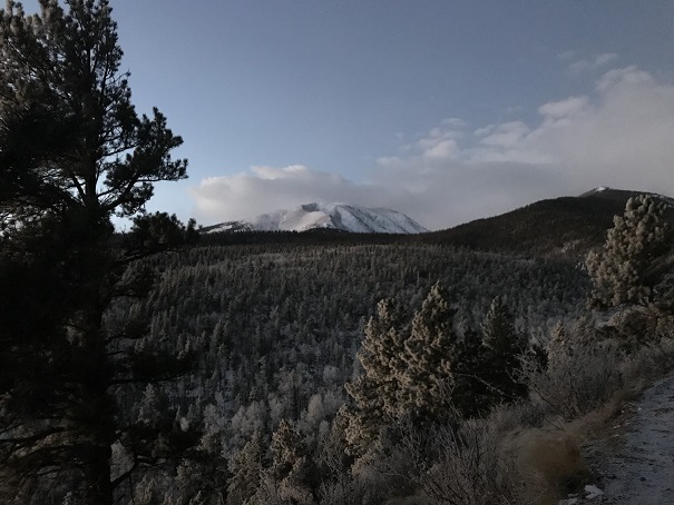
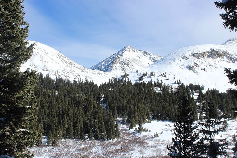
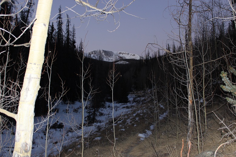
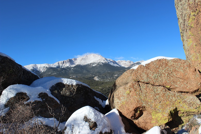
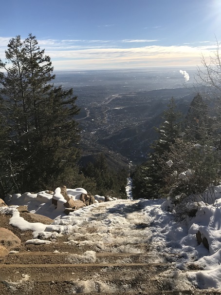
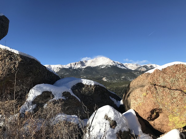
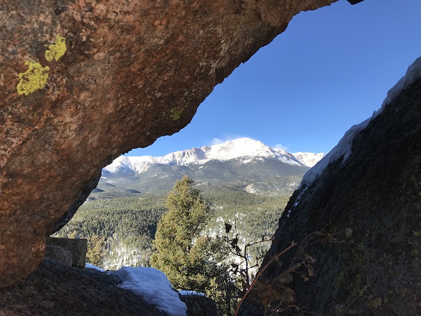
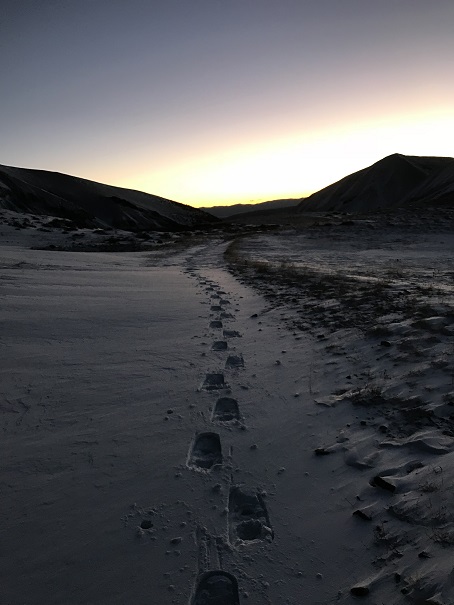
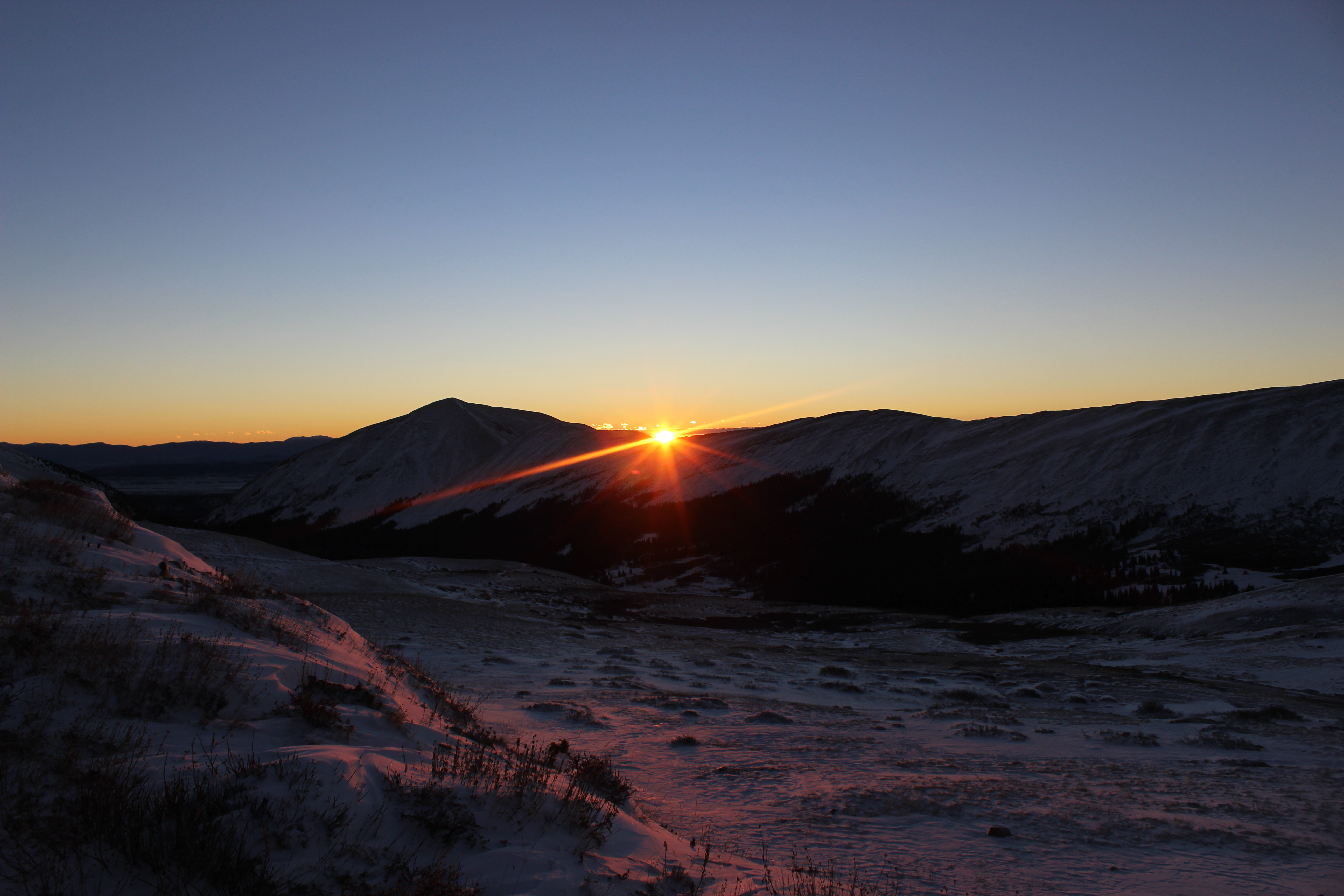
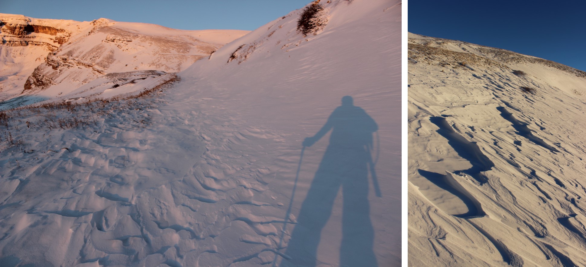
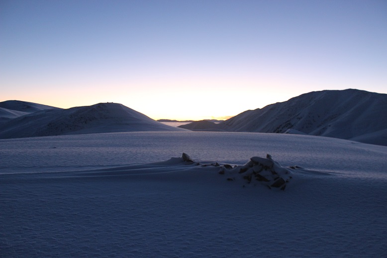
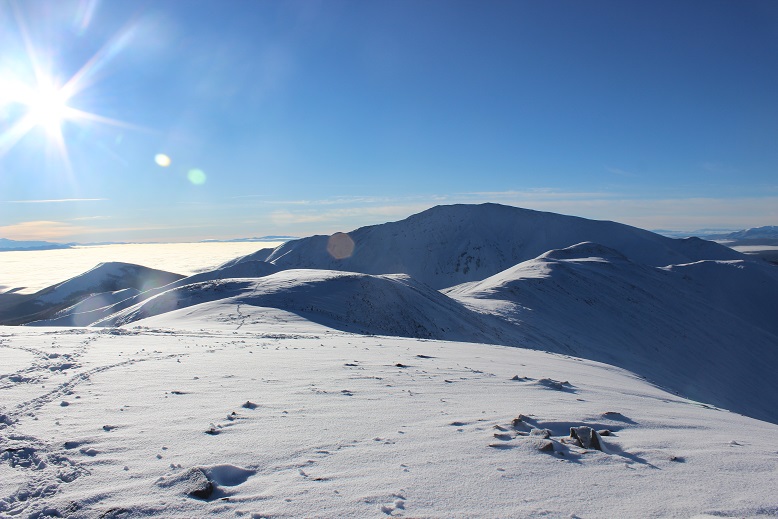
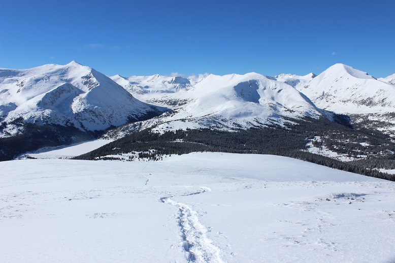
I looked back over my shoulder as the sky lightened. The mountains were amazing this morning!

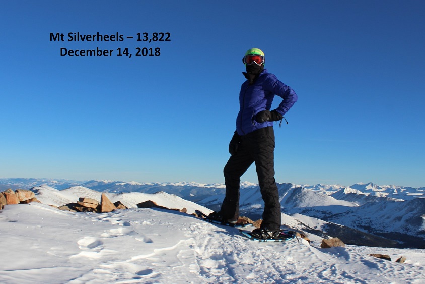
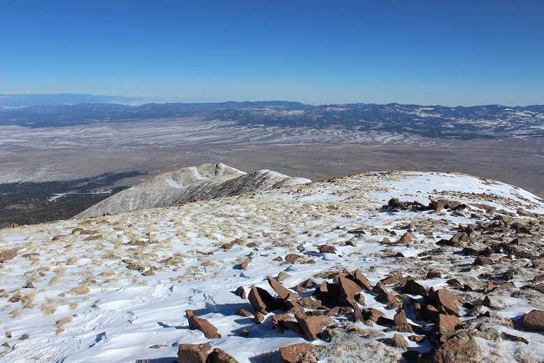
I reached the top of the slope just as the sun was beginning to rise over Mt Silverheels. I love alpine sunrises!

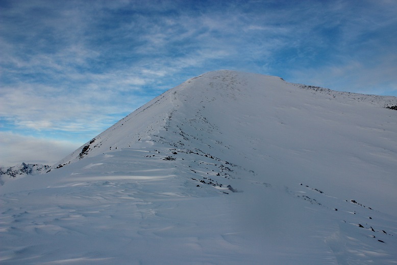
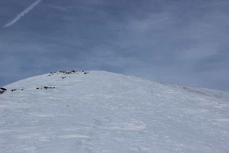
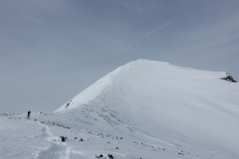
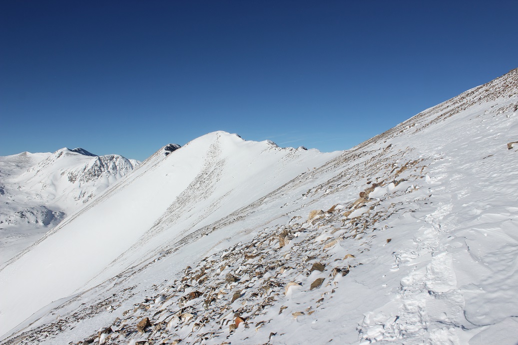
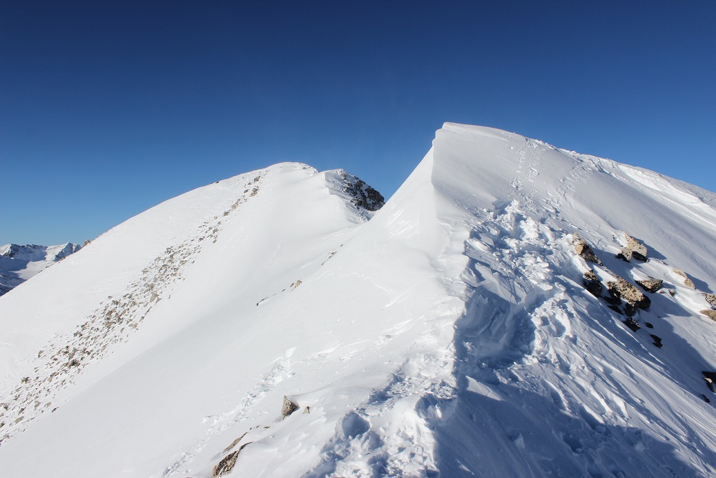
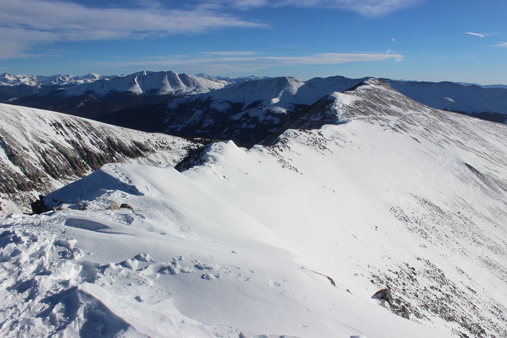
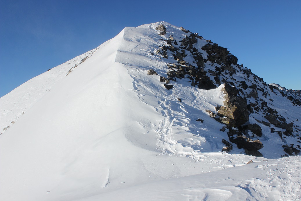
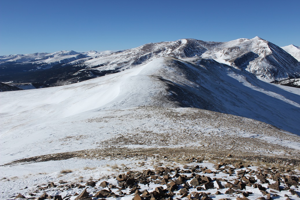
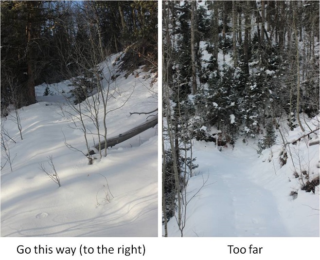
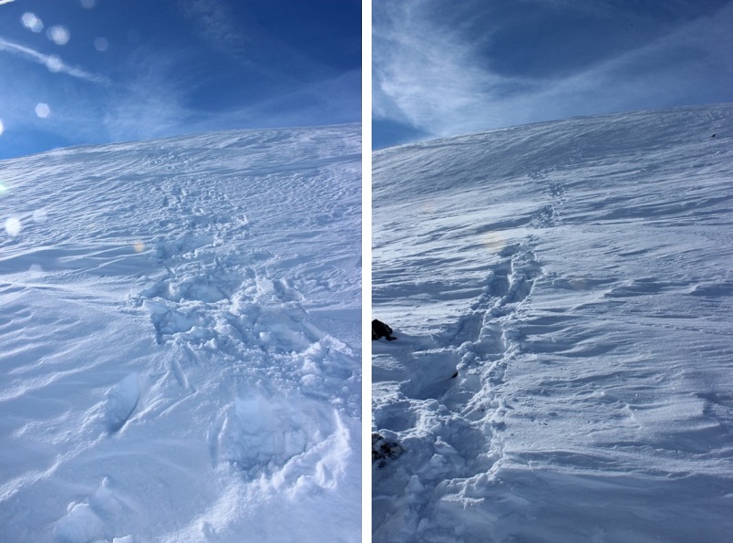
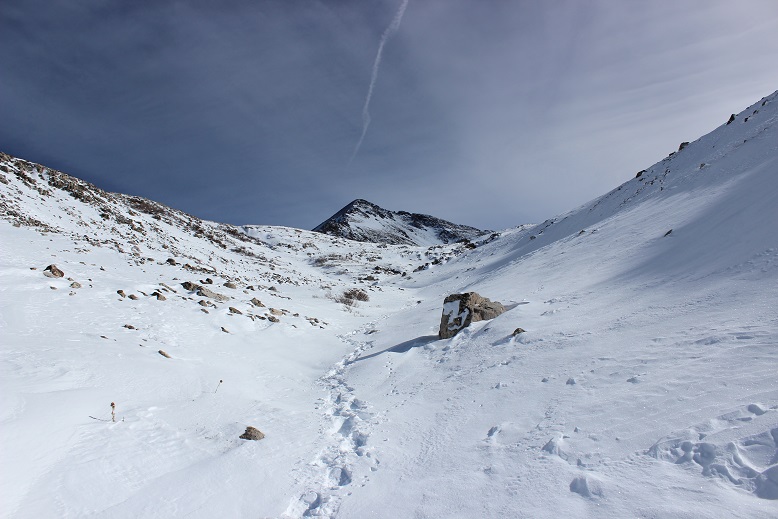
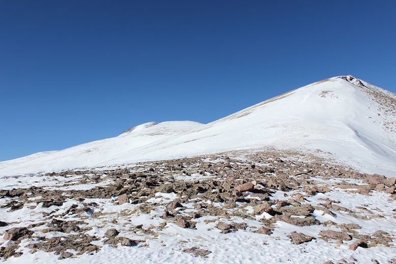
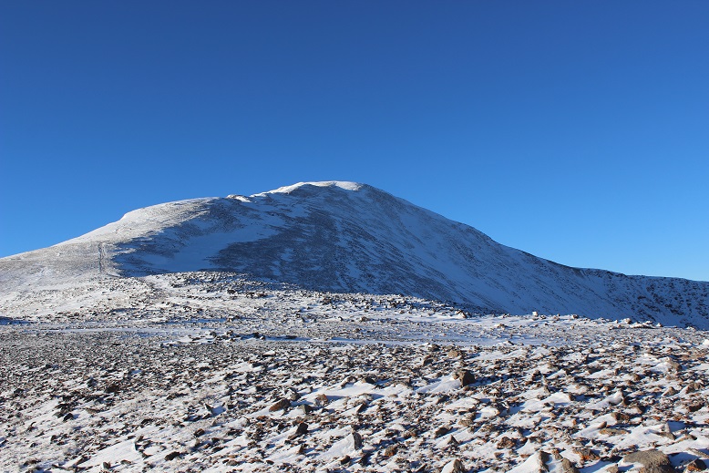
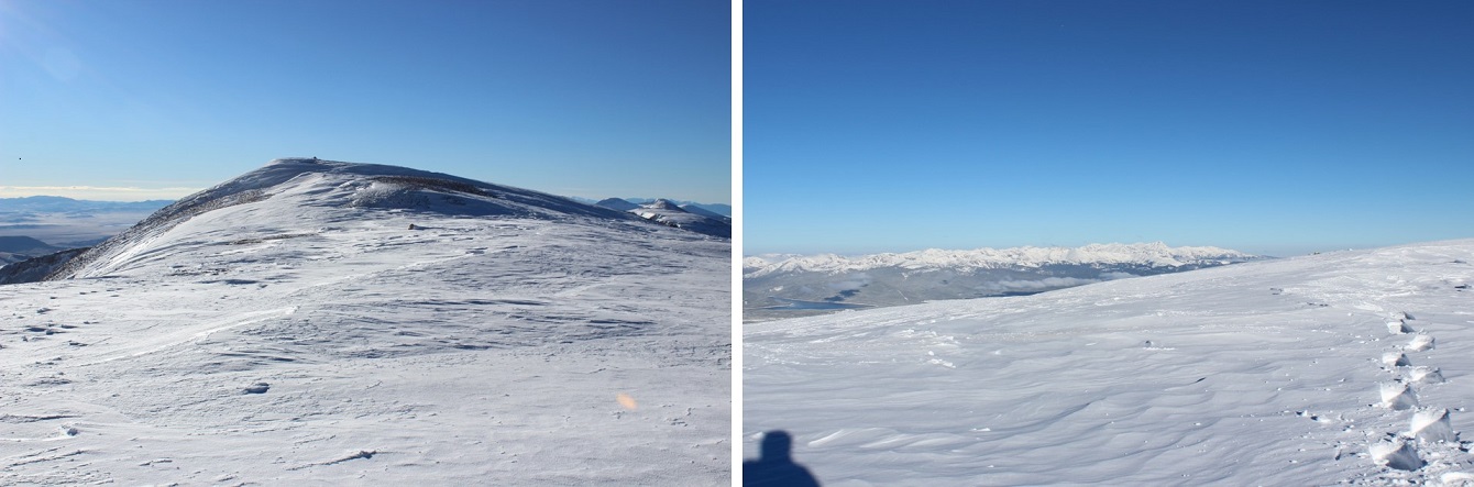
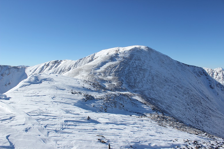
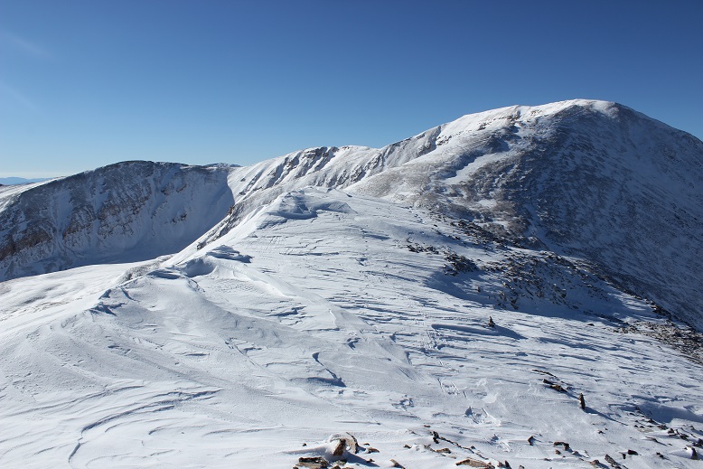
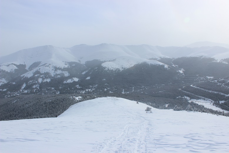
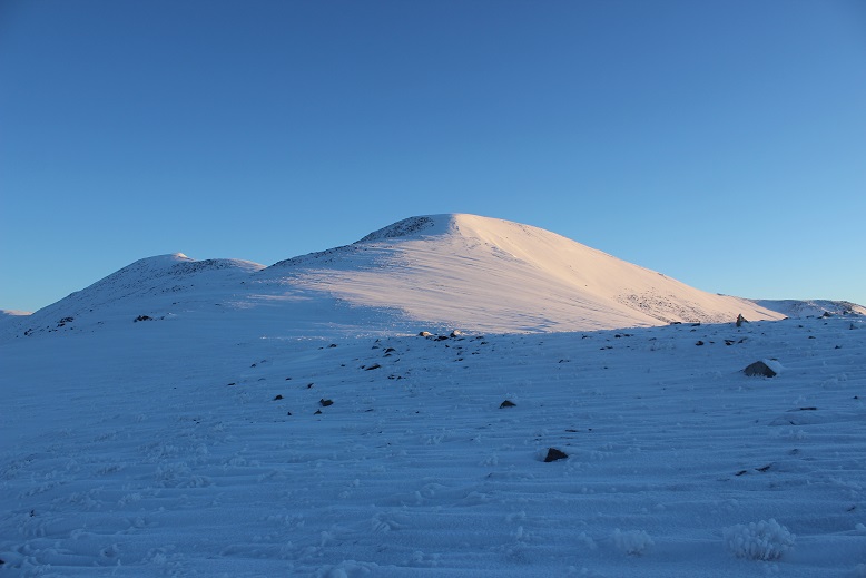
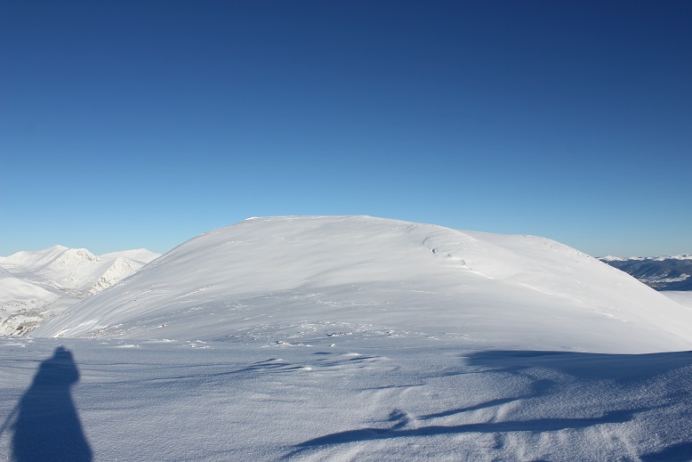
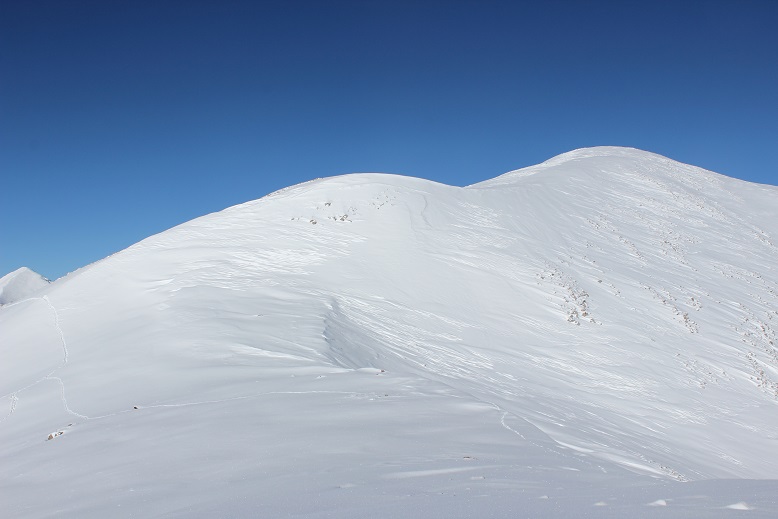
As I said before, I just followed the ridge… and kept following it, and followed it some more. There are tons of ups and downs on this hike. With each new bump in the ridge I kept thinking I’d made it to the summit: it’d felt like I’d hiked far enough, and the cairns/rock shelters must mean I’d summited. I’d take a picture, take out my map and look around, just to realize I still had more of the ridge to go. This happened twice. Oh, and those little bumps go up and down in elevation about 200’ each. Here’s a photo for reference…

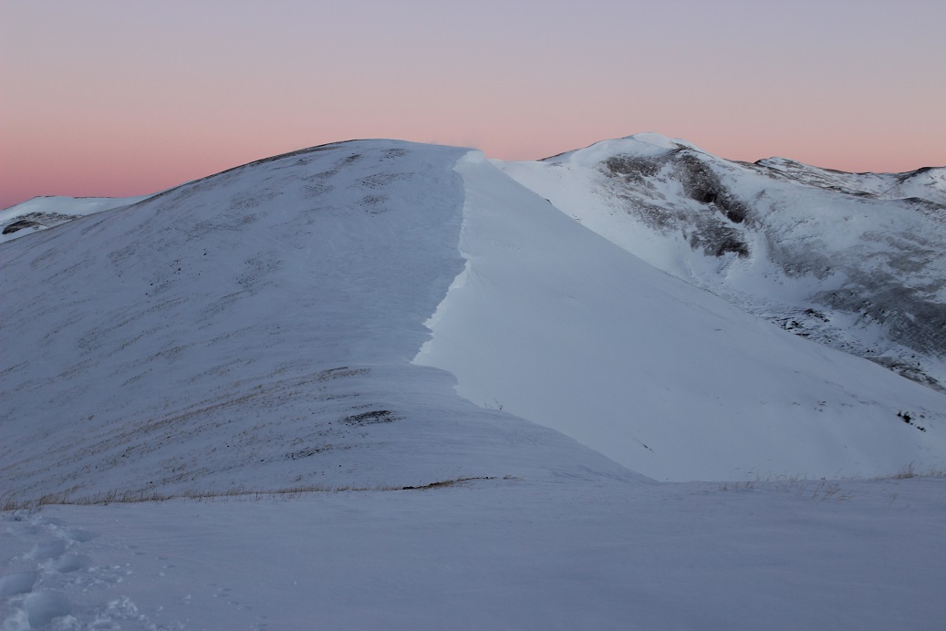
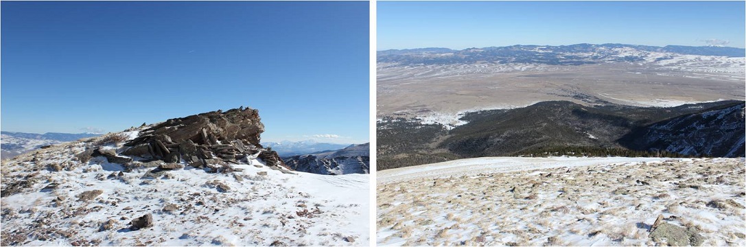
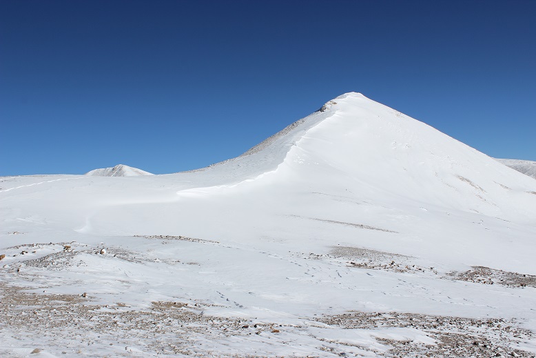
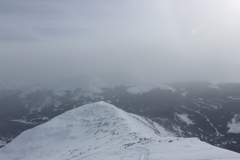
Here’s a false summit
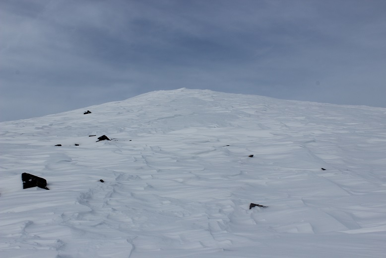
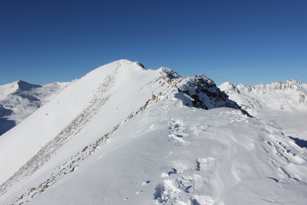
And another one
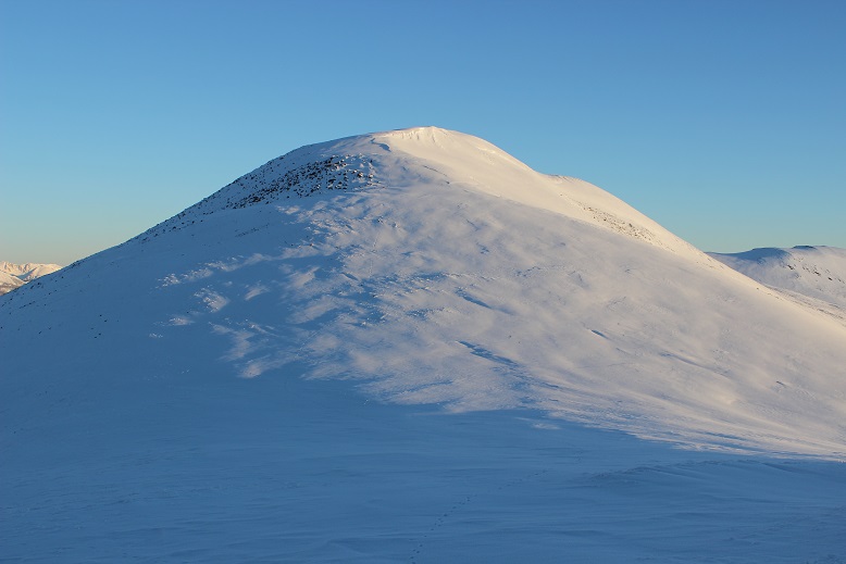
Oh look, a few more…

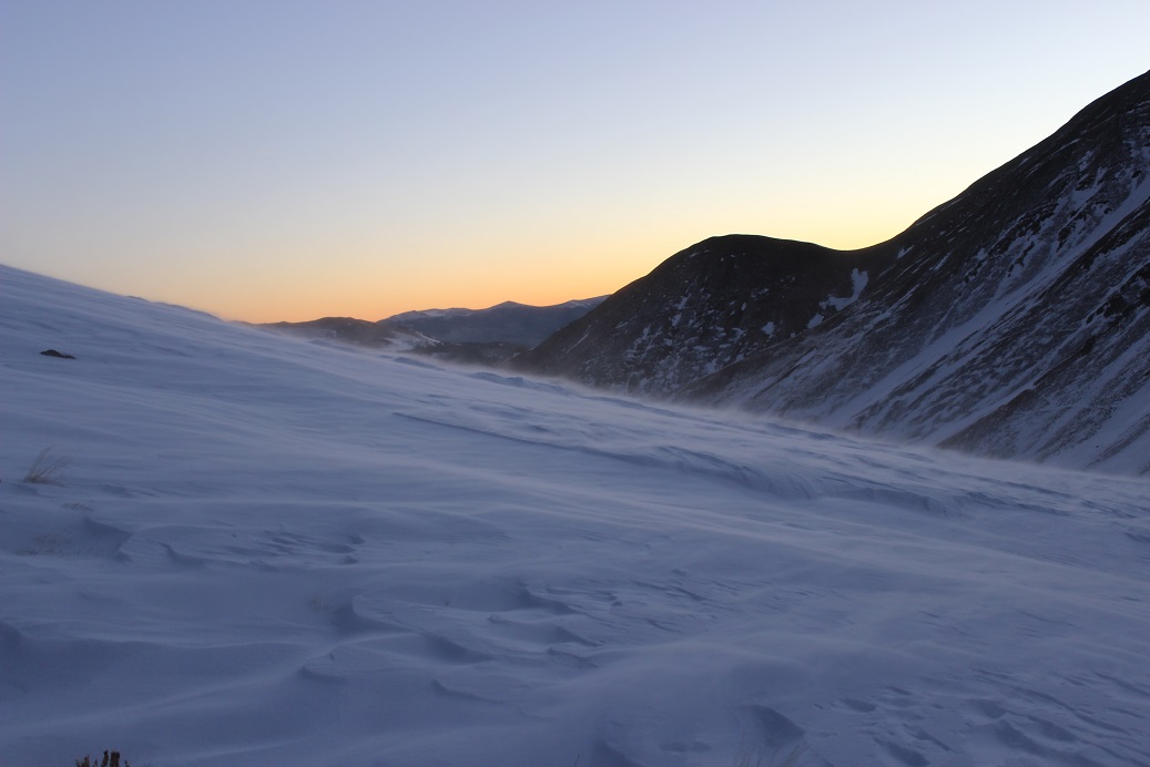
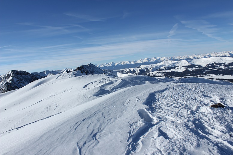
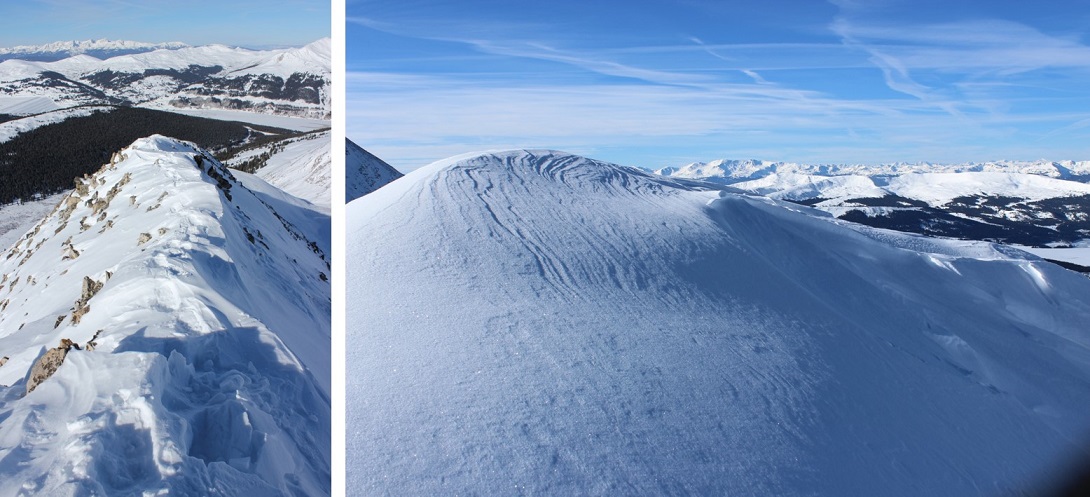
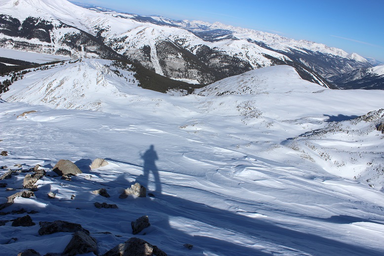
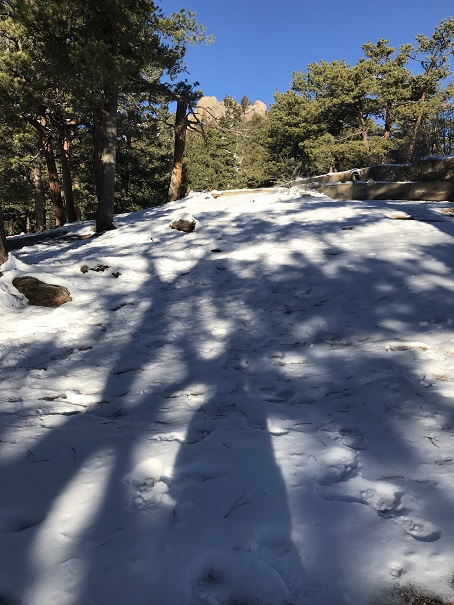
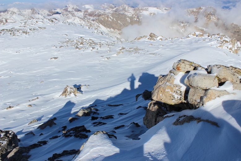
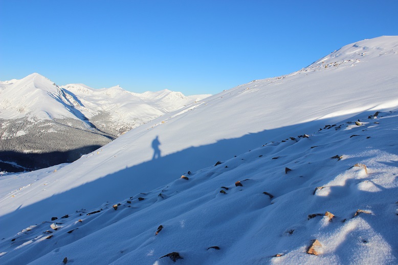
The ridge is longer than it looks, but there’s nothing technical about it. The only downside is all those hills! Every time I’d head down one I just knew it was going to haunt me on my way back. One cool part were the shadows all the slopes created. Of course I took a shadowselfie
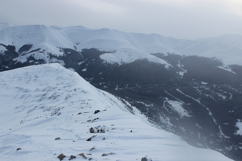
Here’s a look back on that ridge
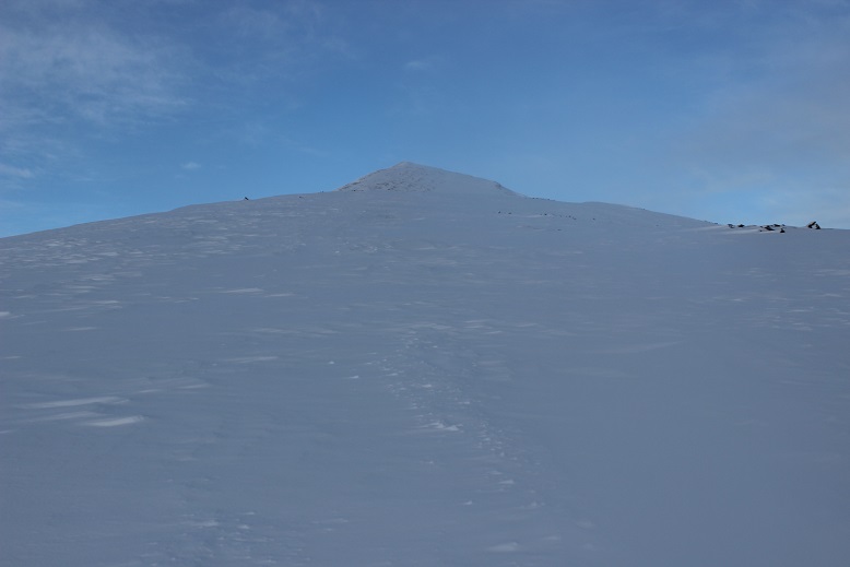
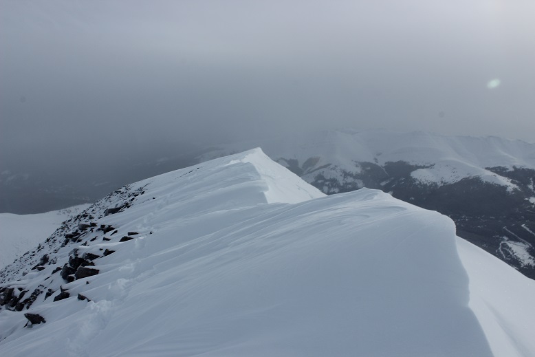
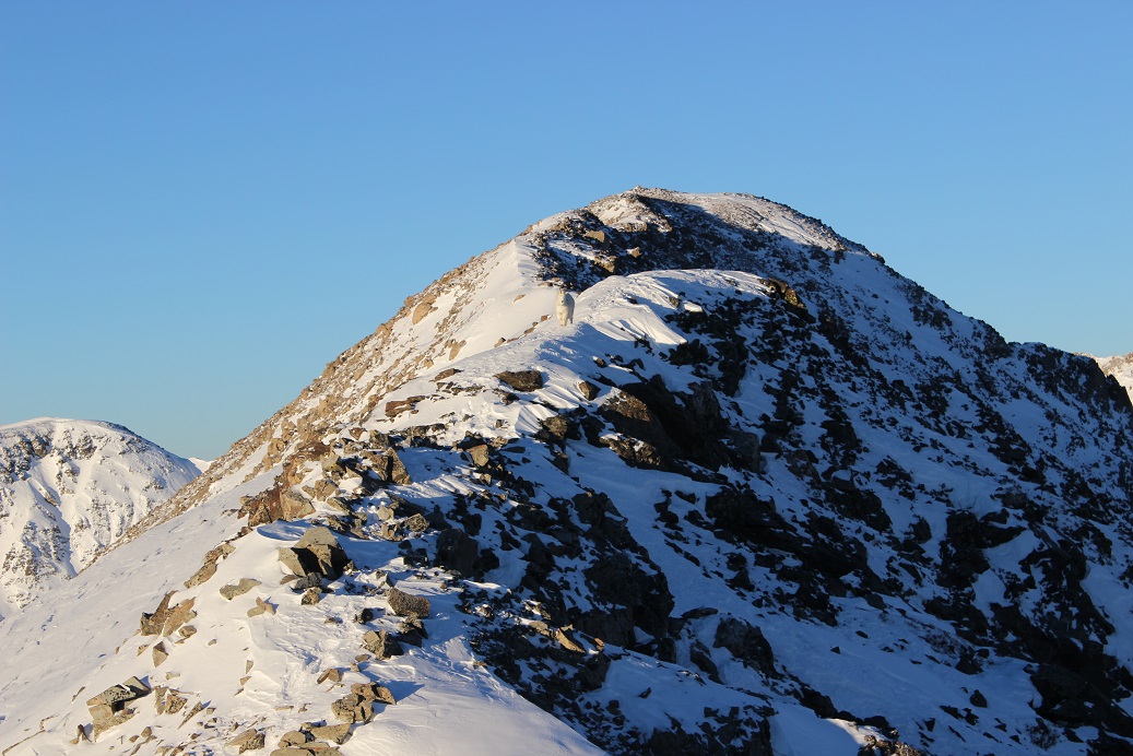
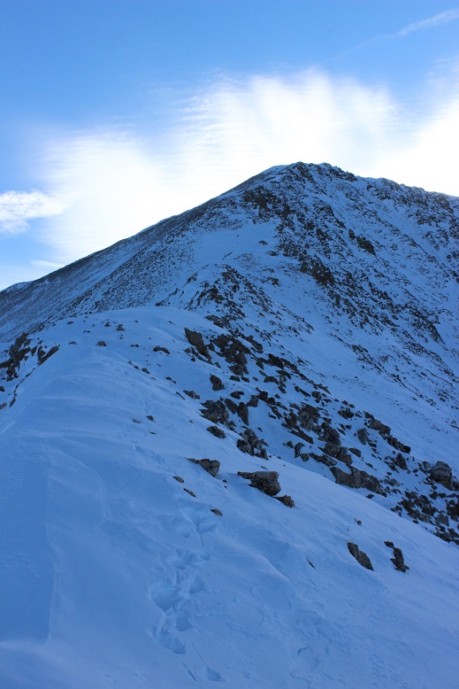
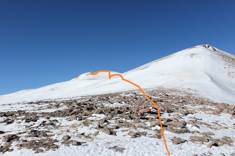
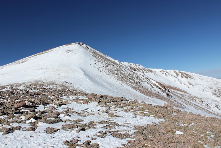
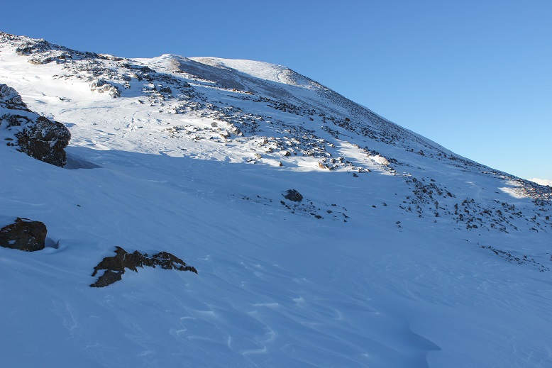
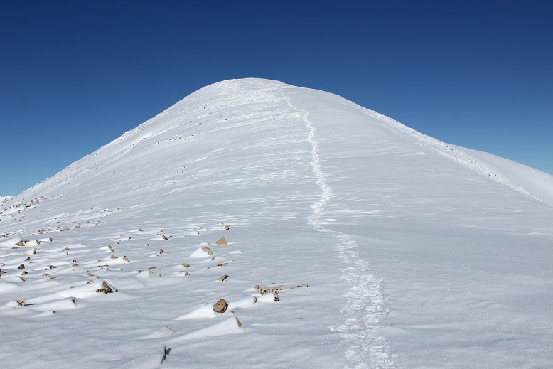
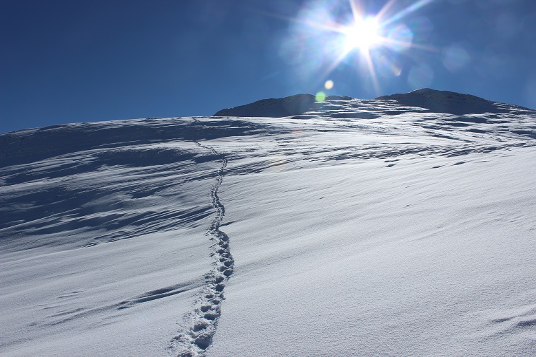
And here’s the final push up Hoosier Ridge
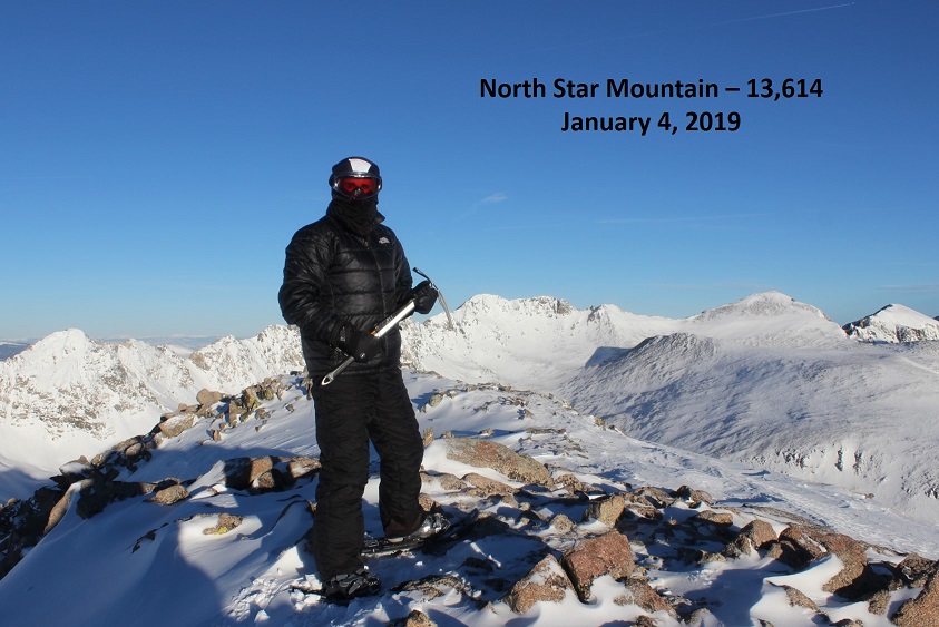
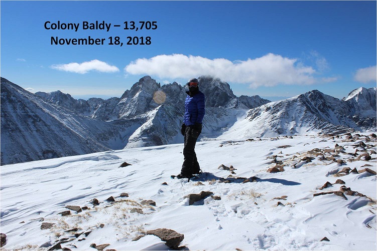
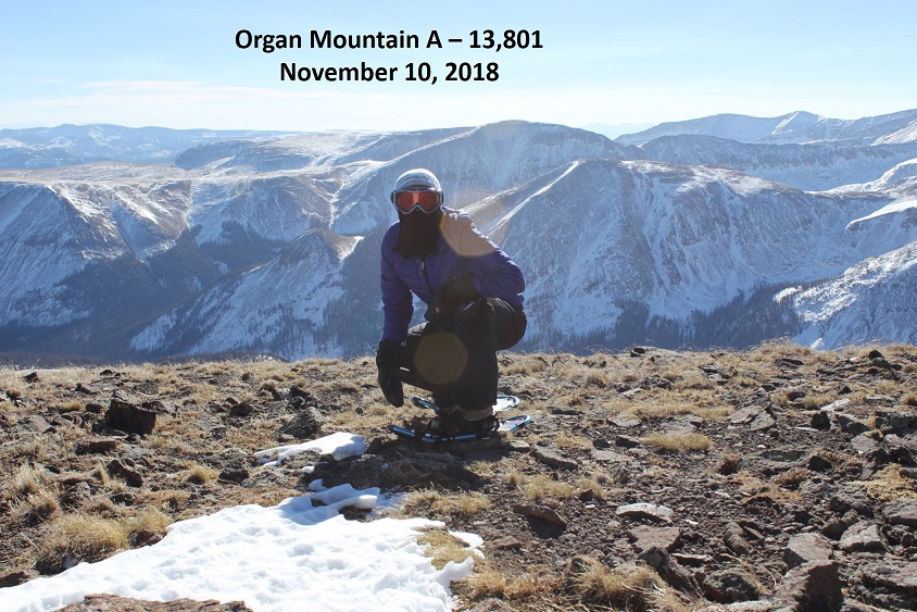
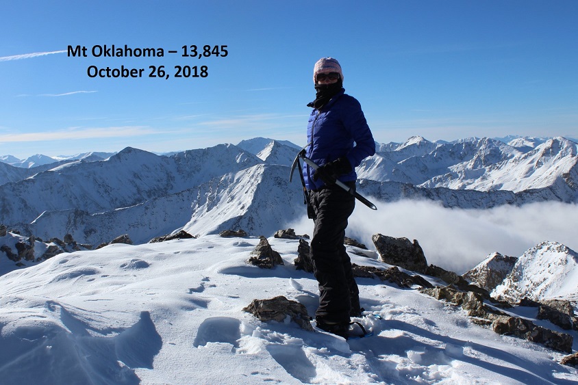
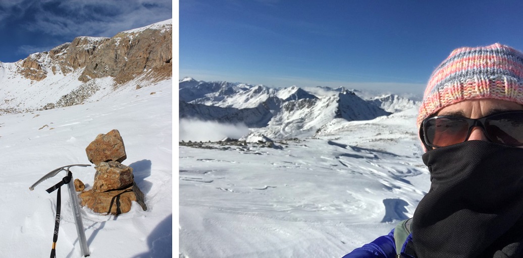
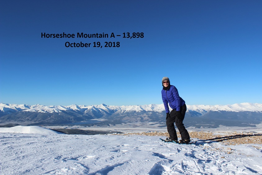
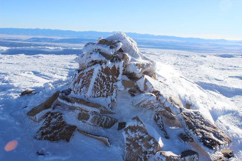
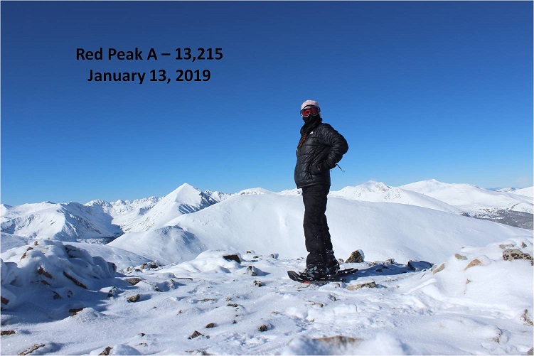
Woohoo! I summited!
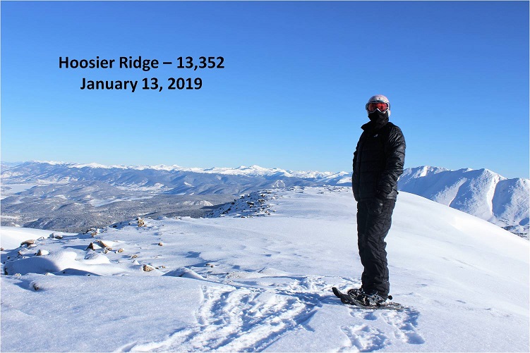
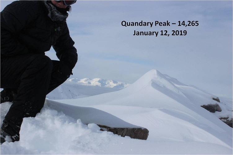
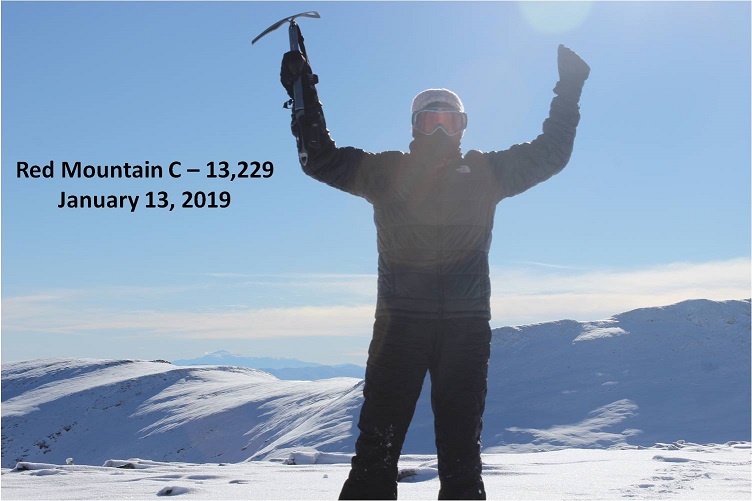
I knew I was at the summit this time because I could see Red Mountain C and Red Peak in their correct positions on my topo map (one of the reasons I’d known I hadn’t summited prior to this was their absence).

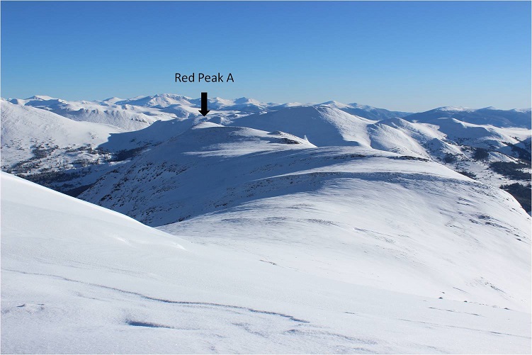
Side note: Couldn’t they have been more creative than “Red Mountain” and “Red Peak”? Seriously.
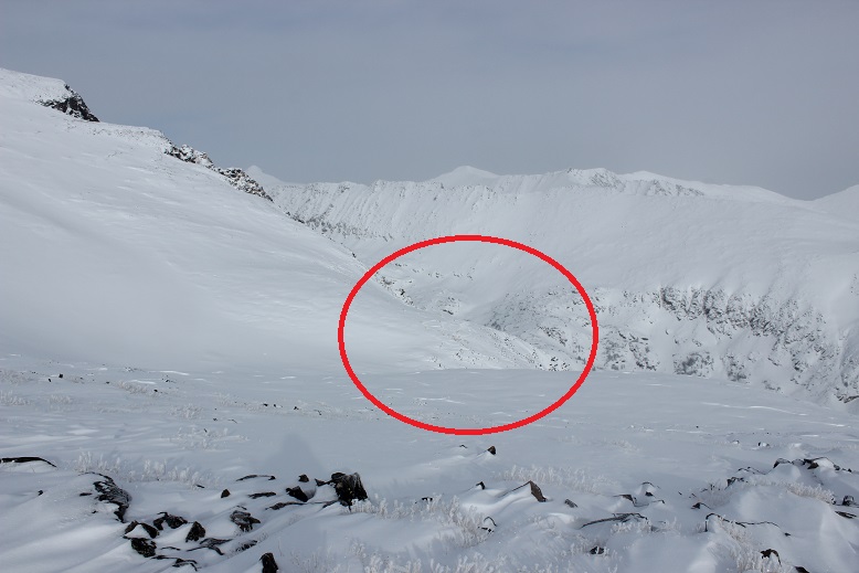
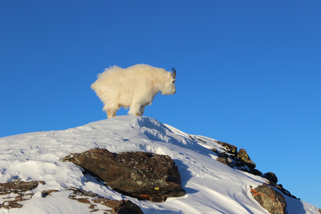
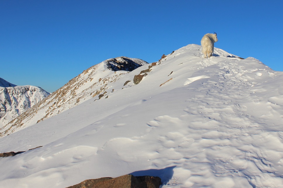
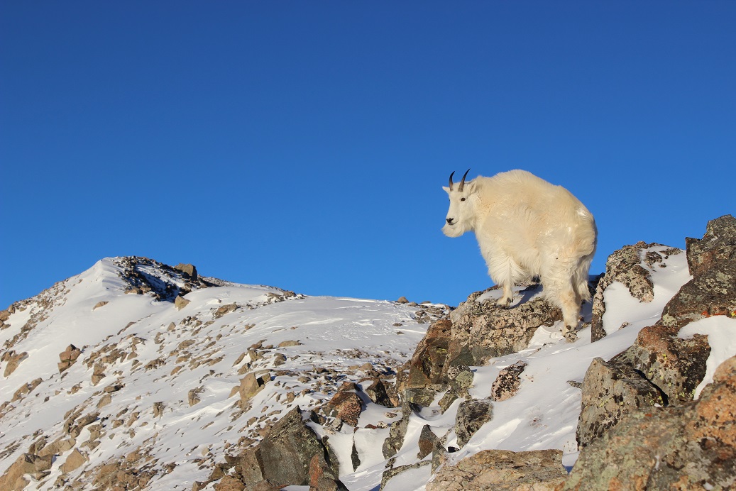
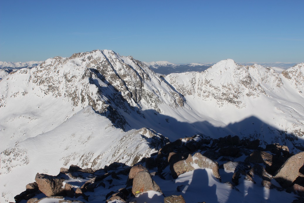
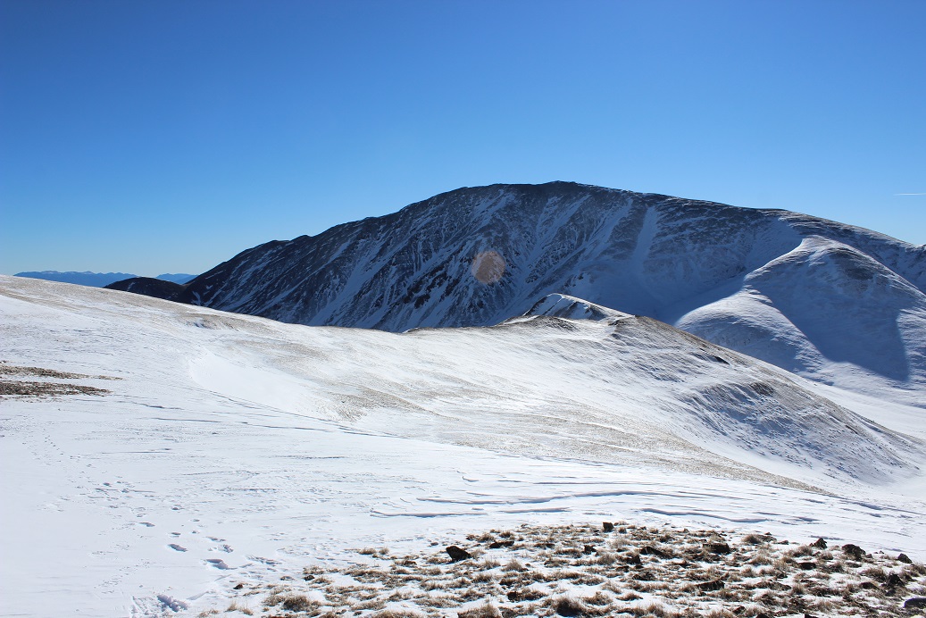
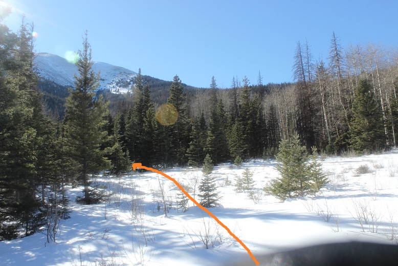
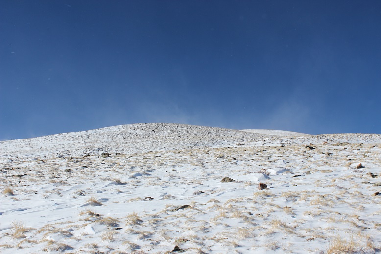
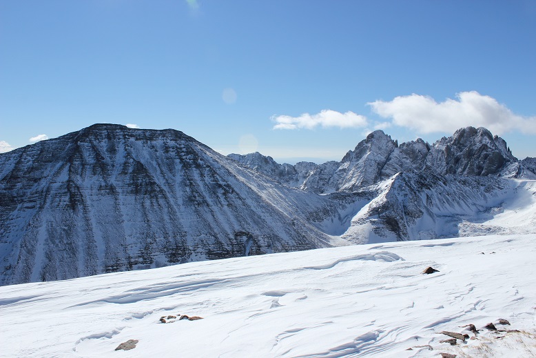
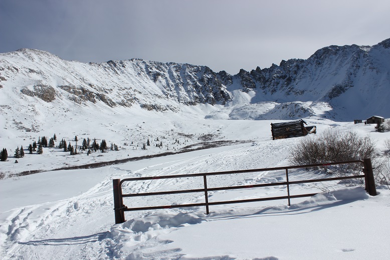
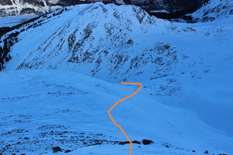
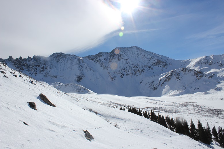
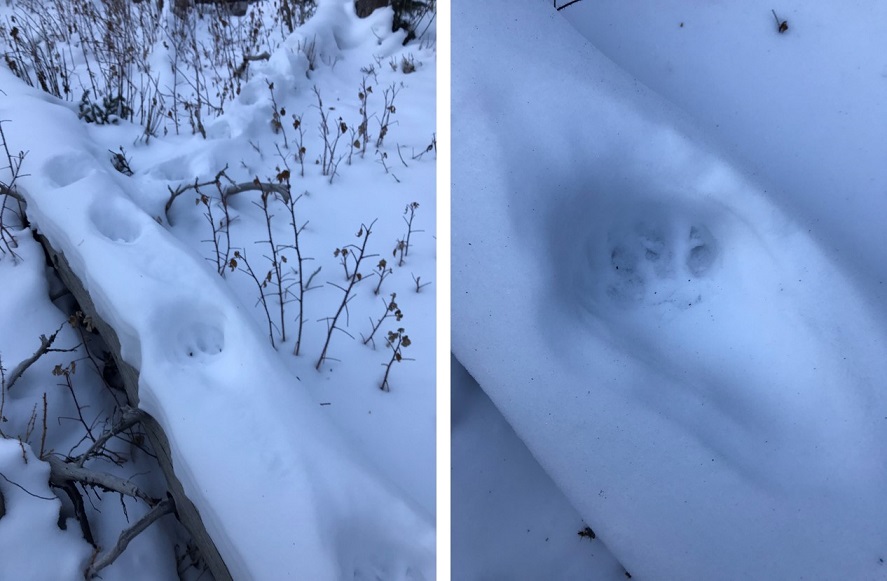
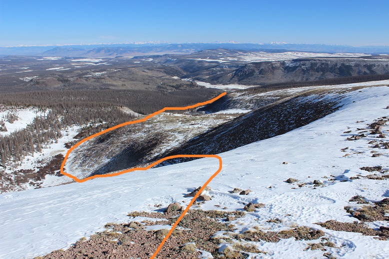
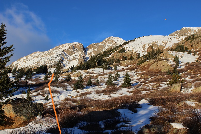
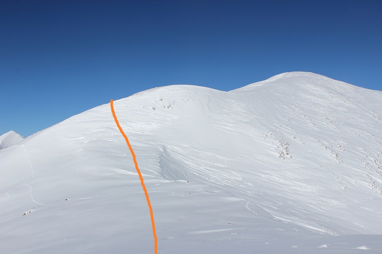
From the summit of Hoosier Ridge looking at Red Mountain I could see I was going to run into some difficulties and considered not even attempting the summit. It had already been what seemed like a long day. There was more snow than I’d anticipated on the route up Red Mountain, and from where I was I couldn’t tell if it was stable or not. I could see a bunch of goat prints along the mountainside. As with all of my hiking decisions, I like to wait until I’m right up against a problem to make a judgment, but from this elevation I started devising my plan. I intended to hike down to the saddle (a good 500’ elevation drop) and then traverse to the slope. From here I wanted to ascend the slope along the ridge. Here’s my intended route.
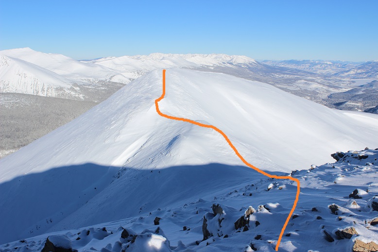
I was worried about the stability of the snow, but knew from my research I shouldn’t need to worry too much about avalanche danger here today. Still, I planned on being careful and staying alert to my surroundings. I deviated from my route a bit due to snow conditions, but was happy with my choices.
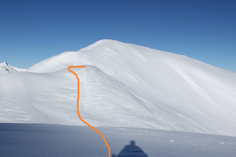
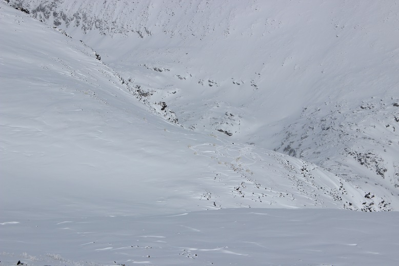
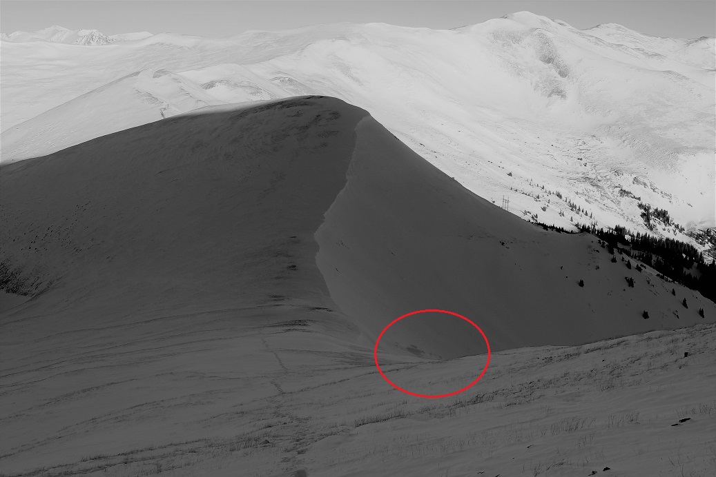
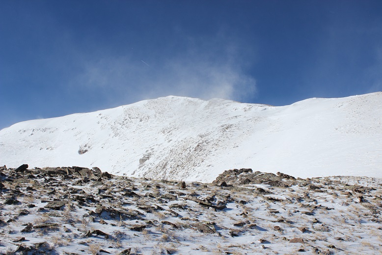
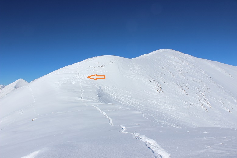
Everything went to plan until I reached this area.

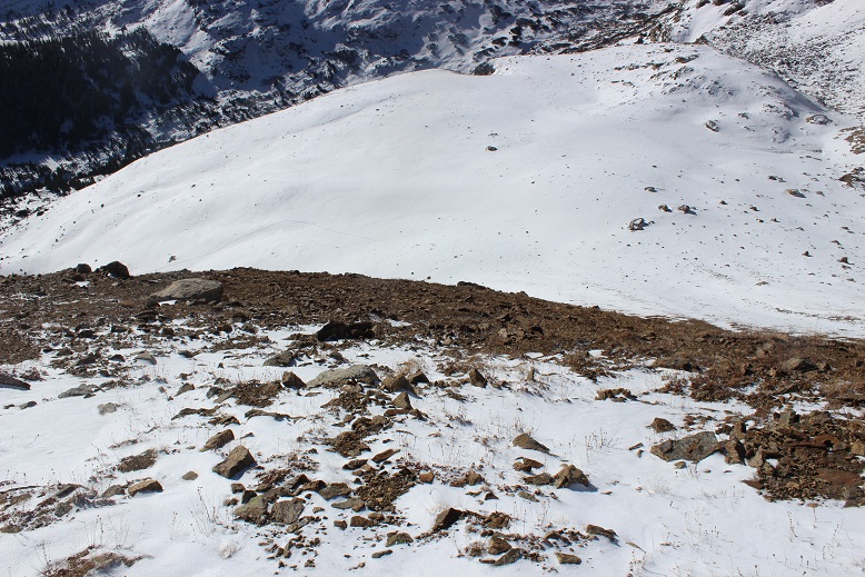
It was much steeper than I’d originally thought
I stood here for a few minutes and contemplated what I wanted to do. The goats had traversed further southwest, but if I took their route and slipped I’d keep falling for hundreds of feet, if not more. I saw the same consequences with going to the east. That meant I’d need to climb straight up this wall of snow, given that if I accidentally slipped I wouldn’t have far to fall and the snow I’d land on wouldn’t be filled with rocks.
I made my way towards the wall. It kept getting steeper the closer I got. Not only steeper, but softer as well. The sun was warming up the mountainside and the snow was quickly condensing under my snowshoes. I made it about halfway up the slope and slid down about 10 feet. Frustrated, I made my way back down and considered calling it a day. I looked back up on what I’d done.
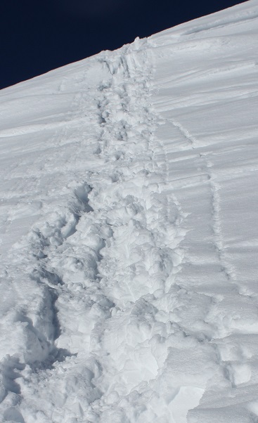
This was frustrating. I knew if I could just make it over this wall the rest of the hike would be easy (don’t ask me how I knew this, I just knew). I was mad at my situation and got to thinking: I had an ice axe, and I’d been holding onto it and kind of using it. Why wasn’t I using it more aggressively like I was supposed to? This in no way compared to the difficulty I’d faced on Little Bear or Snowmass. I wasn’t trying hard enough.
The sun wasn’t getting any cooler: If I was going to do this I was going to have to do it now. It was time to turn around and try again. So I got out my ice axe and went to work. Crampons would have been much more helpful than my snowshoes, but I made it work. I’d drill a hole for my left hand, kick one of my snowshoes in, plug my ice axe in a little higher, and hauled myself up one step at a time. It was work, but I had the best feeling when I made it over that wall! I’d done it! Woot! And I was right, the rest of the hike up the ridge to the summit was a piece of cake.
I haven’t felt that good about earning a summit in what feels like a long time. I was exhilarated and thrilled with myself for not giving up.
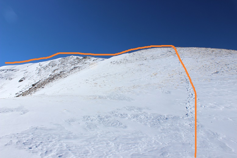
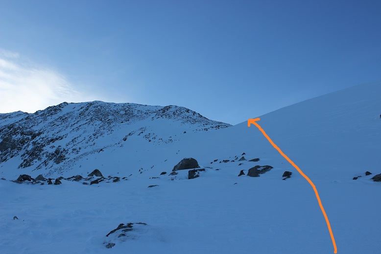
Here’s a look back at the route

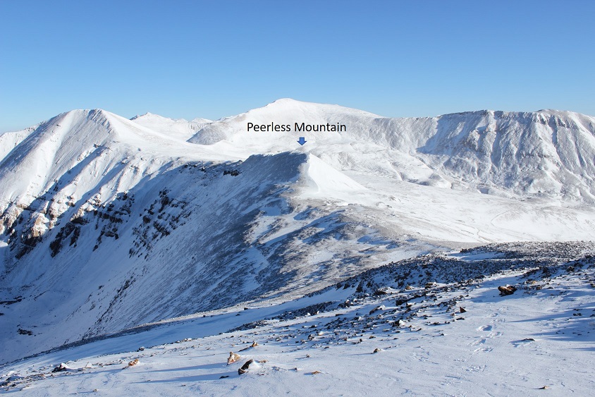
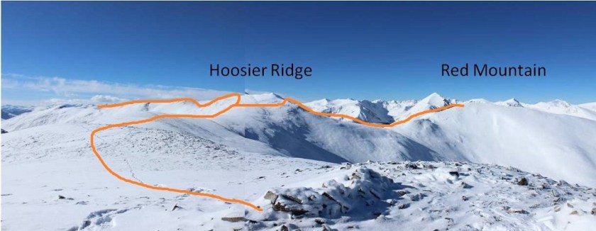
I was excited to head over to Red Peak, but didn’t want to re-summit Hoosier Ridge in order to do so if it wasn’t absolutely necessary. Here’s the route I intended to take around Hoosier Ridge and over to the Red Peak saddle.
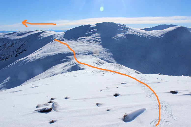
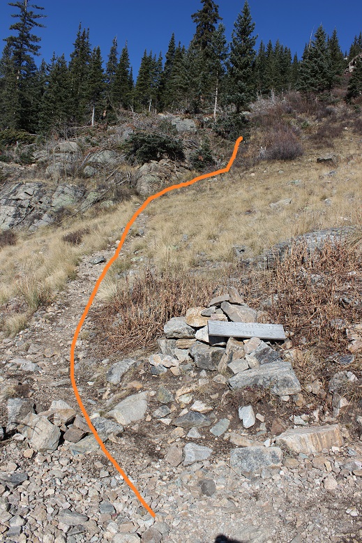
As I was heading back to the Hoosier/Red Mountain Saddle I looked back on the route I’d taken. It looked so much easier from this angle! The arrow shows where I stopped and re-started again.
For the first time today I put up my heel risers. Those things are amazing!
Traversing to the Hoosier/Red Peak saddle didn’t work quite as planned. I was trying to avoid the rocky area altogether, but as I got closer I found there was a ridge that with snow was steeper than it had looked on the map, so I had to ascend further than I’d originally anticipated, but I was still able to make it to the saddle without backtracking.
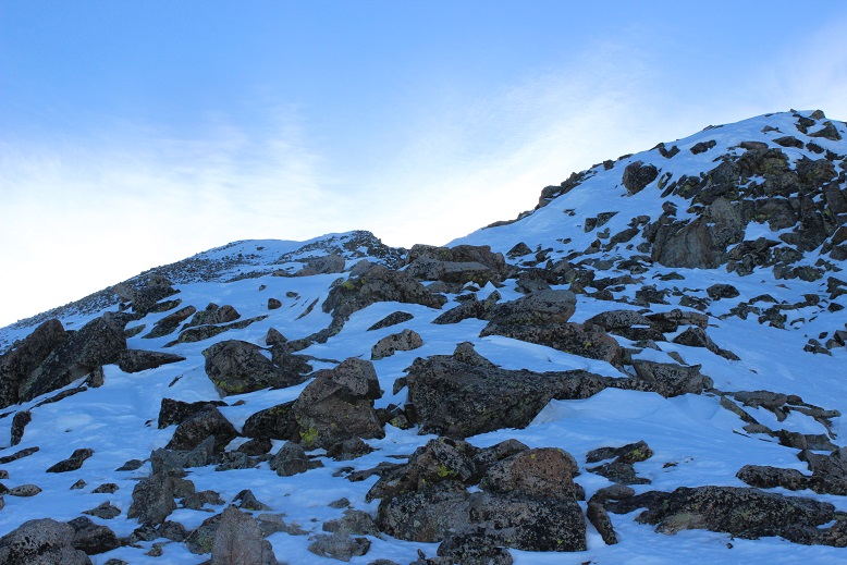
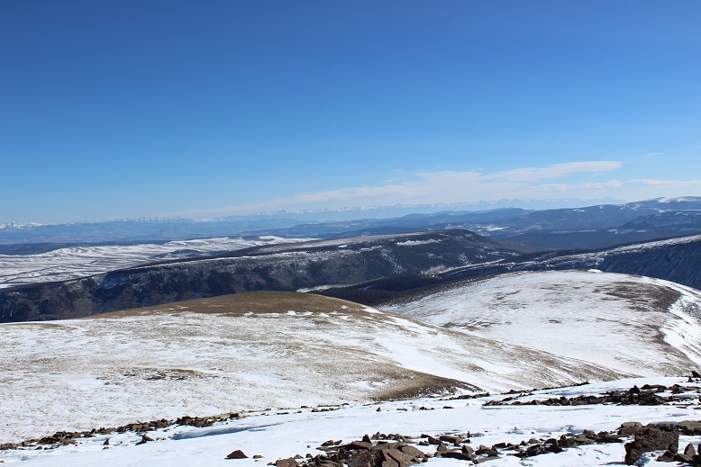
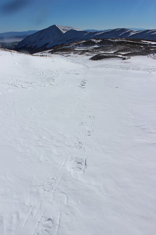
Once I gained the saddle I followed some goat tracks to the summit
This was the easiest part of my day by far
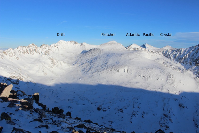
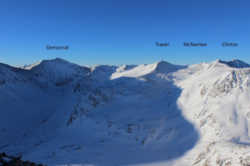
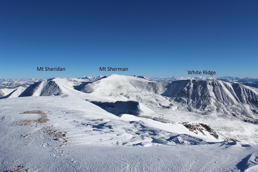
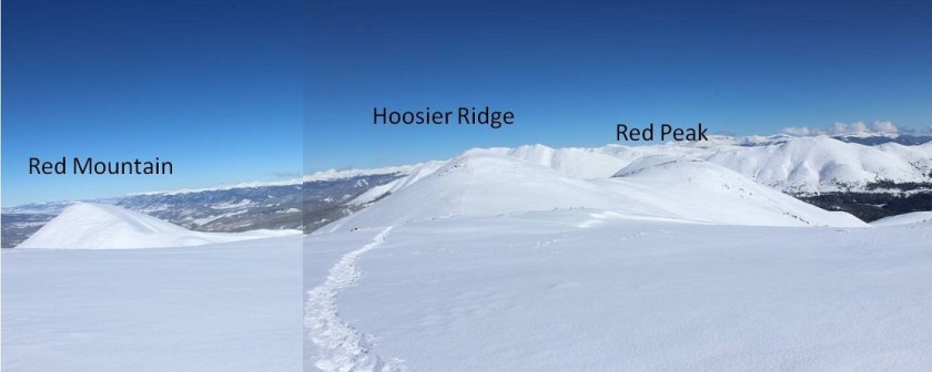
Here’s a look at the route I took from Red Mountain and the route I took back
At about this time I heard a buzzing sound and saw a flight for life helicopter heading towards Quandary. This was never a good sign. I said a silent prayer and began my hike back.
Re-summiting Hoosier Ridge wasn’t difficult, but by this time I was getting tired. I made it to the top of the ridge and started traversing. Once again heard the helicopter.
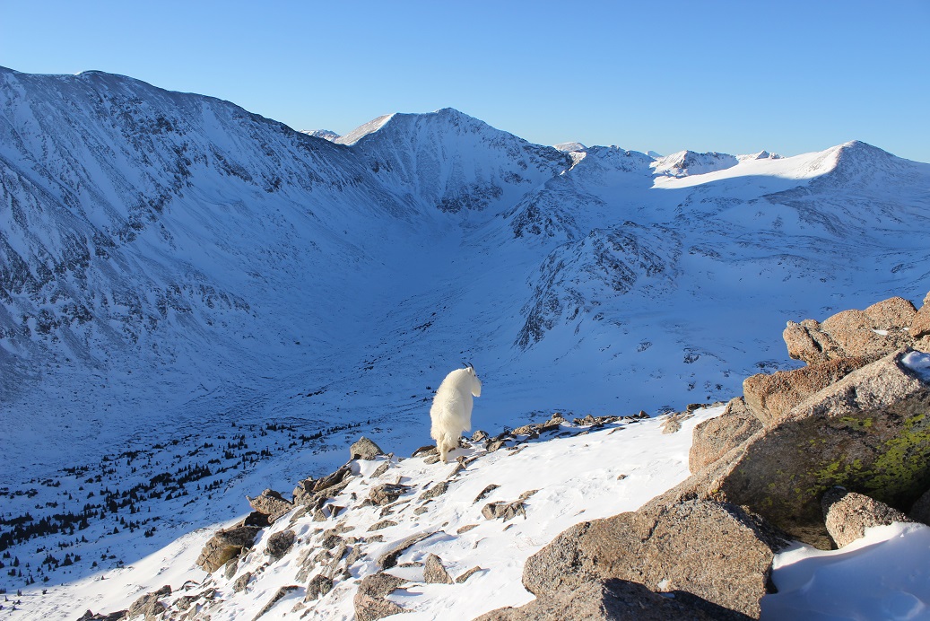
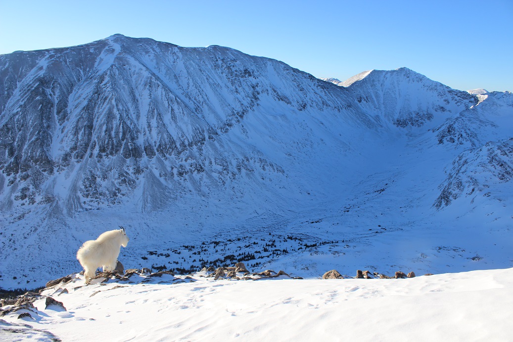
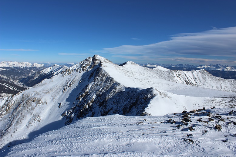
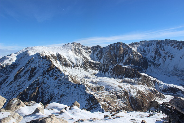
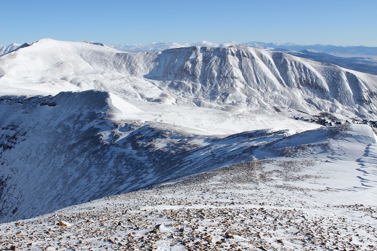
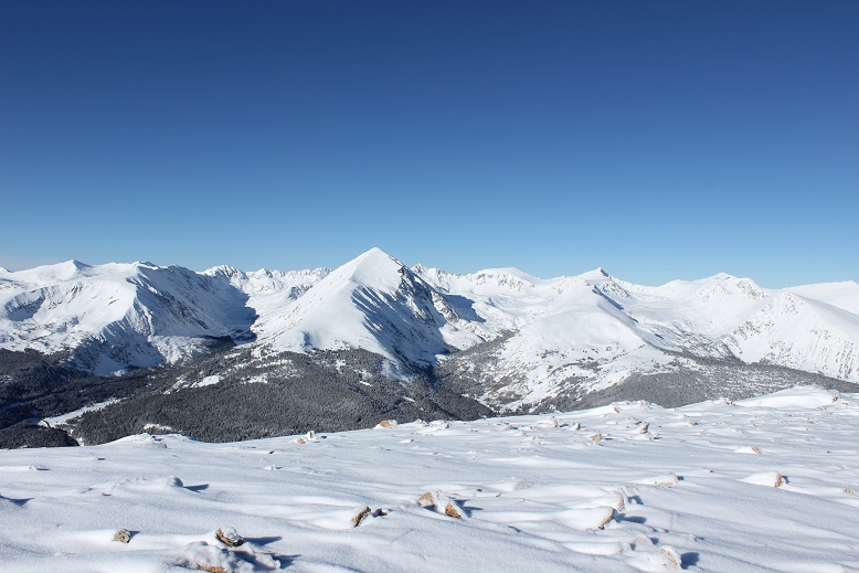
I turned back and got a good view of all 3 summits
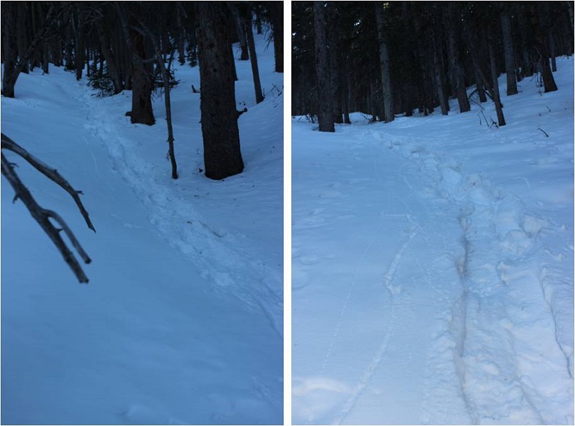
The ridge back took what seemed like forever to cross.

Remember all those ups and downs from the ridge before? Well, they were still there and I got to re-summit each of those little slopes. Again.

Just as I was almost done with the ridge I came across a pair of hikers who were on their second hike of the day. They’d attempted Drift Peak earlier this morning but due to multiple cornices were unable to safely summit, so now they were attempting Mt Silverheels. I thought to myself “maybe that’s why it’s called ‘Drift Peak’?” and mentally wondered why no one had posted a recent conditions report? These were the third people I’ve heard from this week stating Drift Peak isn’t summitable, yet no one had added a conditions report. I wondered how many others had attempted and turned back as well? I wish more people would put in condition reports instead of just talking about the conditions to their friends online.
In any event, luckily someone had started after me and it looked like they’d veered off to summit Mt Silverheels, so these two hikers would have a trench to follow. They seemed in good spirits, despite already hiking since 4:30am. I wished them luck and was more than ready to finish my hike.
It was a lovely day, sunny, with no wind. I wasn’t the only one who’d thought so: the trench I’d made on my way in was now very well packed down, and there was evidence of skiers everywhere.
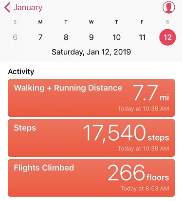
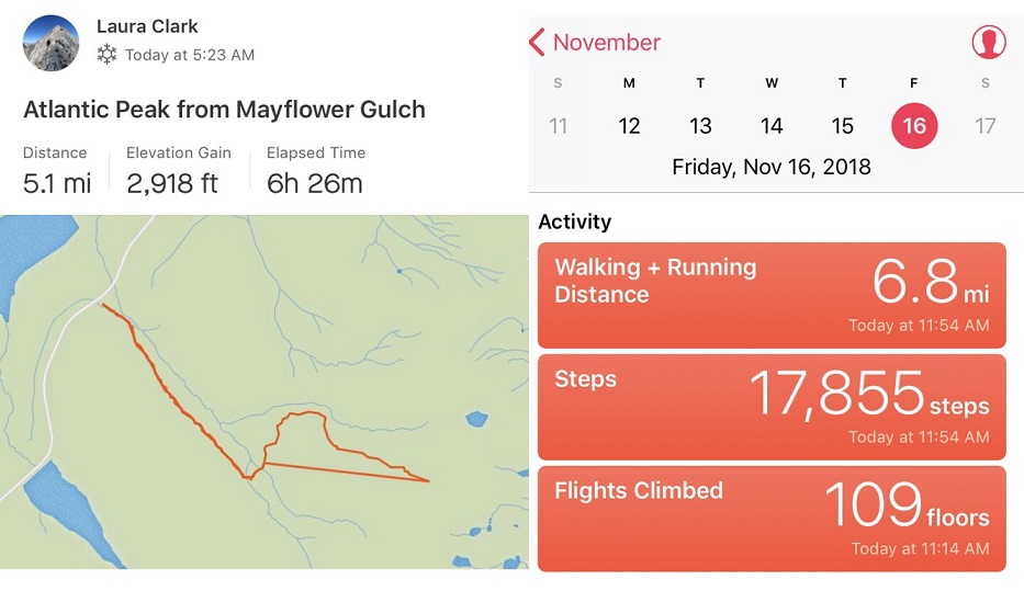
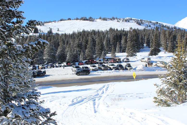
I made it back to my truck at 2pm, making this a 12 mile hike in just over 8 hours. The parking lot was full.
I looked at my tracker: It had worked! However, today’s hike had felt like more than 4000’ in elevation gain. I’d actually thought it was closer to 5000’, but maybe that was just leftover Quandary talking from my hike yesterday.
 Relive: https://www.relive.cc/view/2076882046
My phone said I had 22% battery and hadn’t turned off once the entire time I’d been out. Usually when it’s cold it it turns itself off each time I take it out of my pocket. When I plugged it in it immediately went to 77%. What I’ve learned is when it’s cold the phone isn’t out of battery, it just doesn’t operate well in the cold, so it shuts itself off (even though it really has plenty of batter life left). The only way to keep it from “running out of battery” and turning off is not to take the phone out/use it.
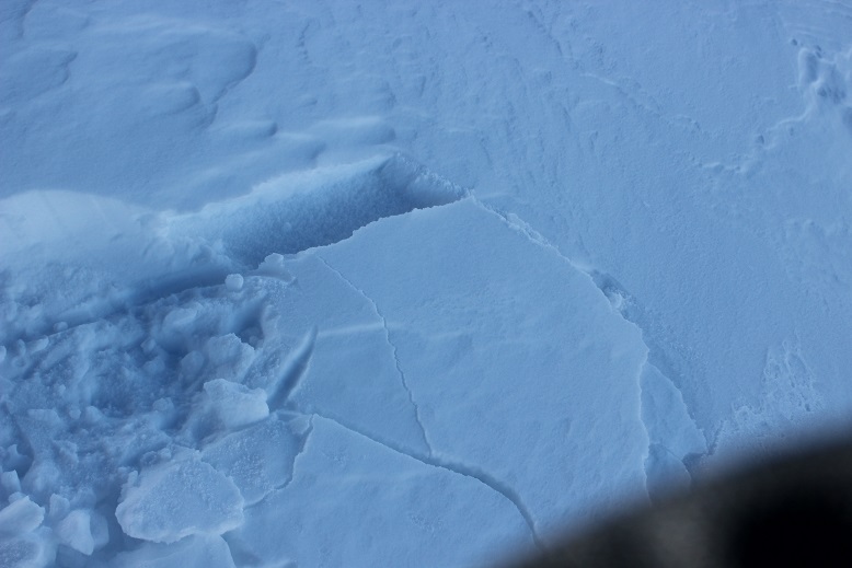
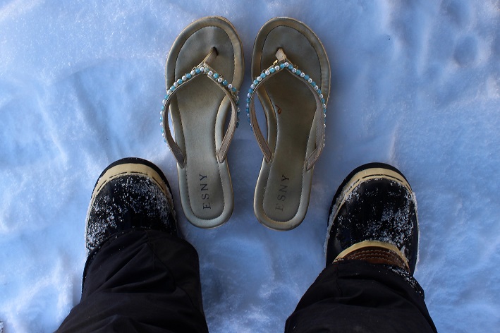
I quickly took off my outer layers and put on my sandals for the drive home. As soon as I pulled out of the parking lot I felt a sharp pain in my left pinky toe. Ow! Ow! Ow-Ow-Ow!!! It felt as if I’d been stung by a scorpion! Immediately I pulled over to the side of the road to inspect my foot. My pinky toe was completely blue but as I watched it slowly turned to a bright red, starting from the base of the toe and moving up like a thermometer. What had felt like venom spreading like fire through my toe was actually just the blood re circulating through my feet. Though my other toes were partially blue, they didn’t hurt. Bright red is normal for me after a hike. I sat there fascinated as I watched my toes turn colors, and belatedly thought to take a picture. (This picture was taken about half way through the process).

The pain was intense, but within a few minutes my foot was back to normal and I drove the rest of the way home. It seems the reason my toes hadn’t hurt during my hike was because they’d had an attack as soon as I’d started hiking this morning. Also, my new tricks (toe guards, compression socks, etc.) hadn’t done their job. Or maybe the attack was because I’d forgotten to take my vitamins this morning? In any event, I’m going to have to watch my toes this week, especially the pinky. It’s currently in the same condition it was in before today’s hike (red and swollen and a bit painful to the touch), but this is ‘normal’.
A man died on Quandary today. It’s a sober reminder the mountains aren’t forgiving of mistakes. Make good choices and wear your helmet friends. Sending prayers to all involved.