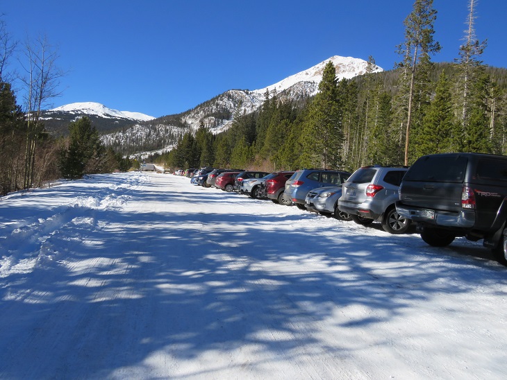
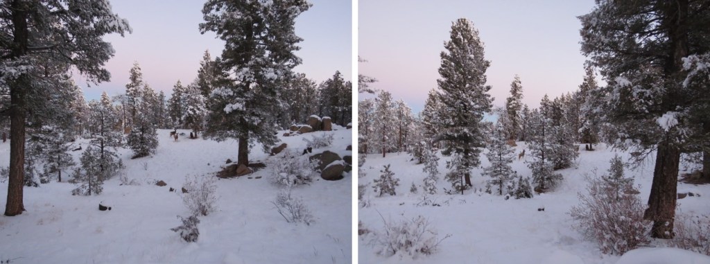
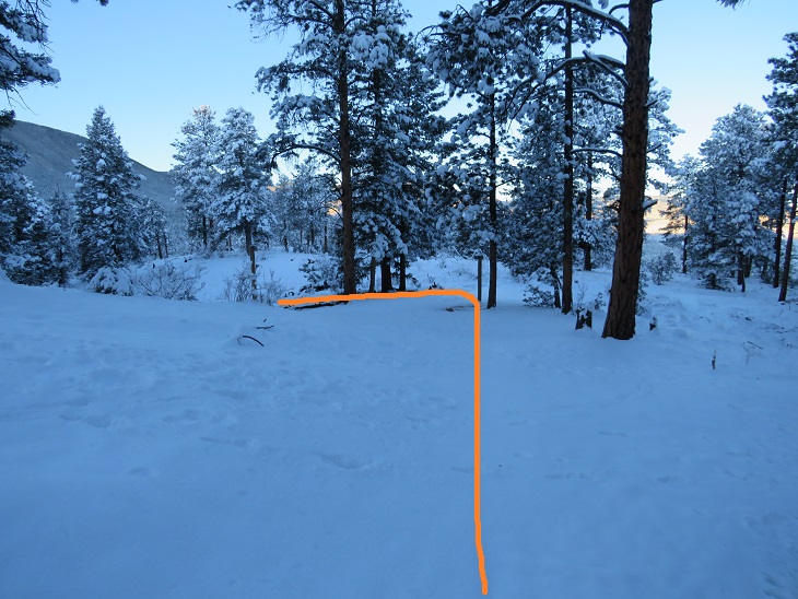
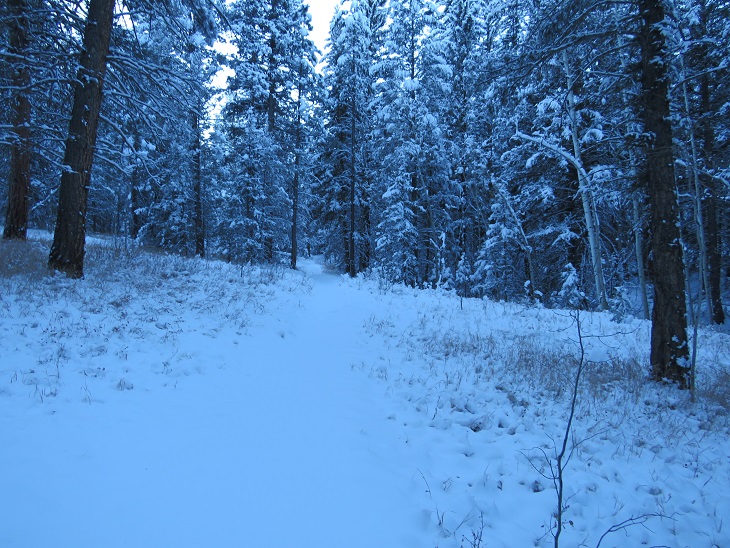
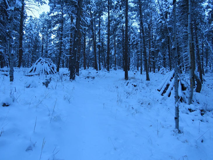
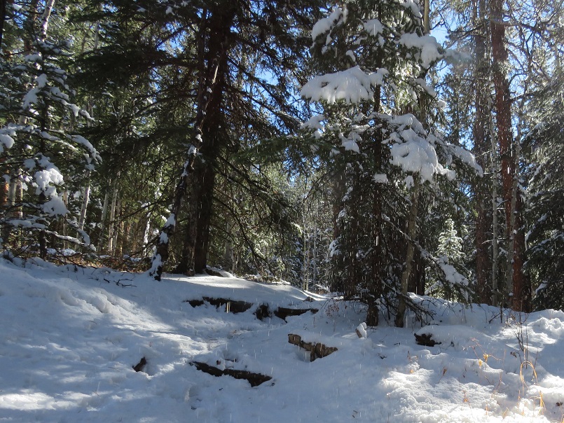
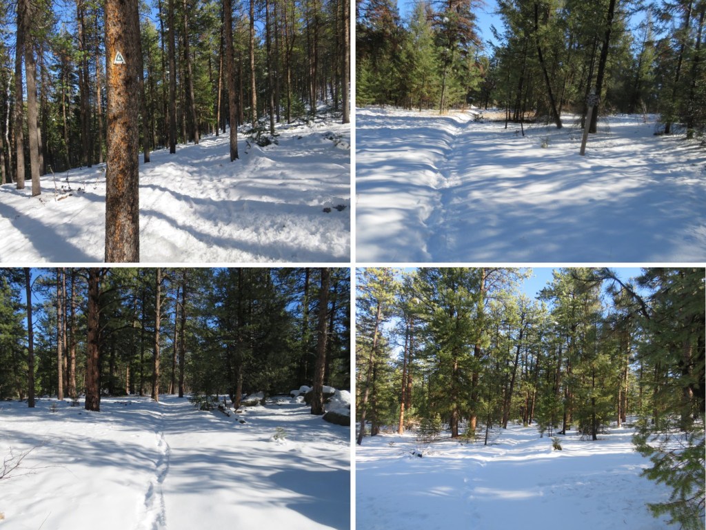
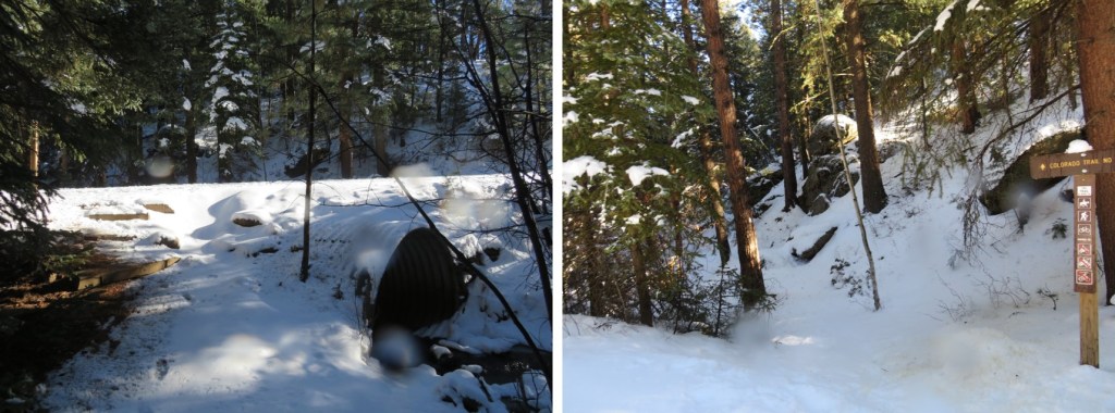
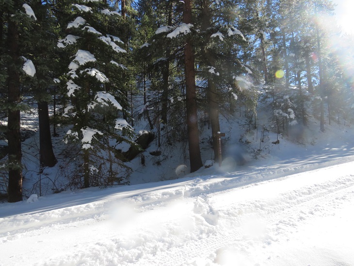
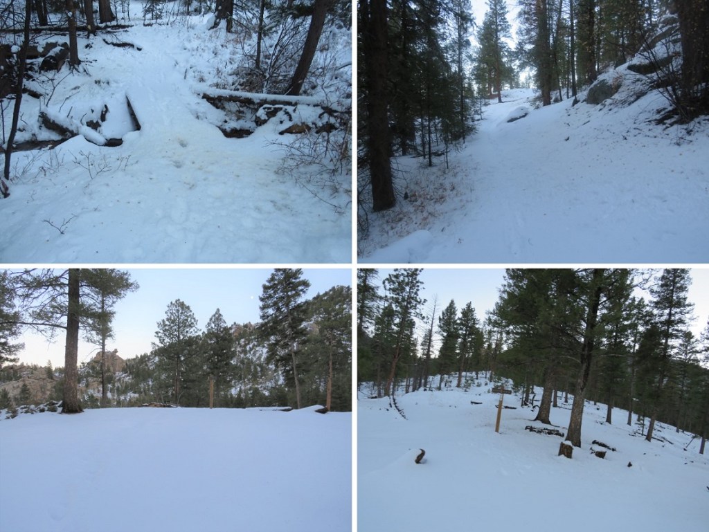
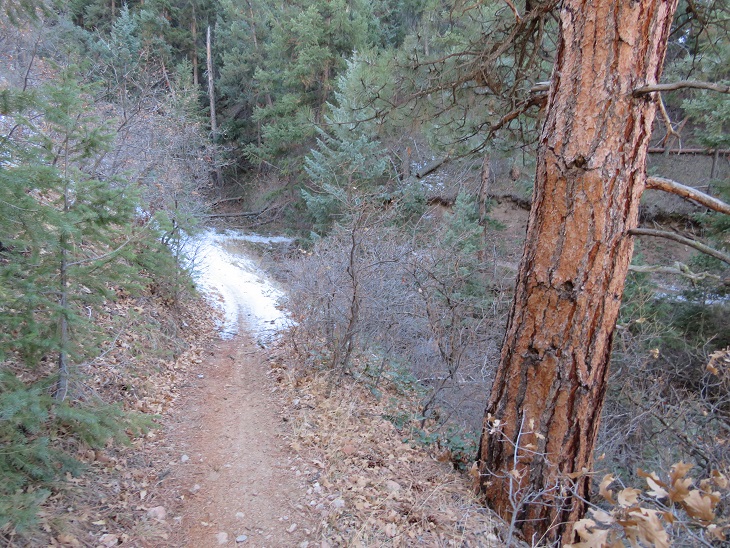
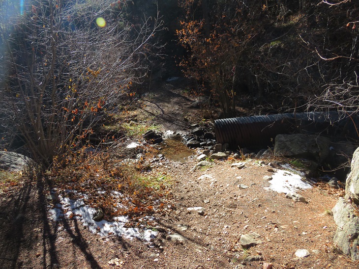
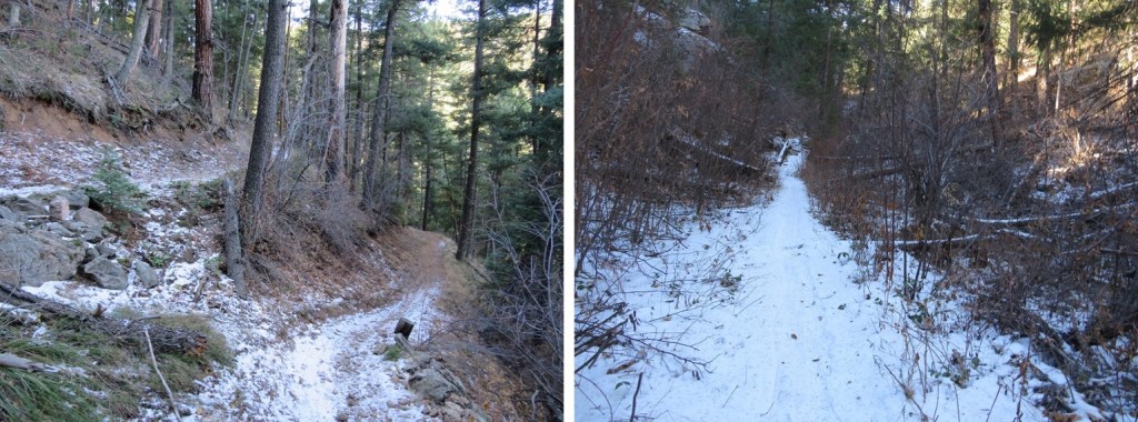
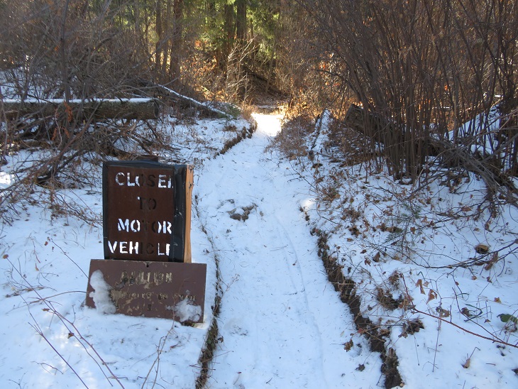
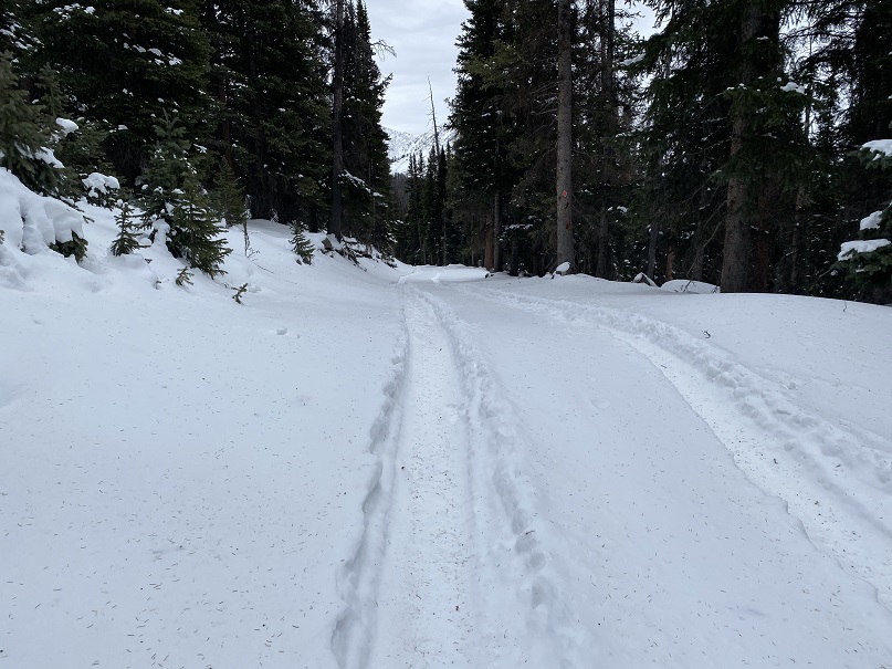
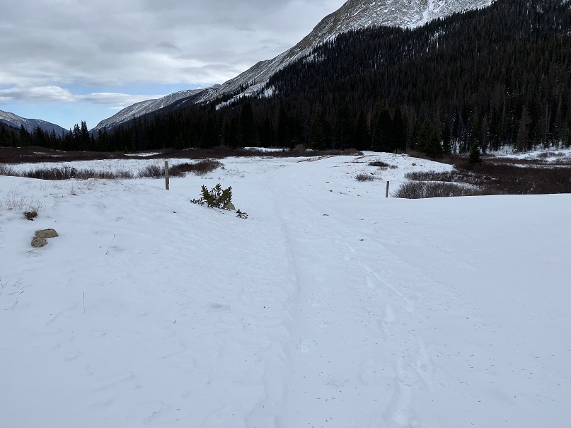
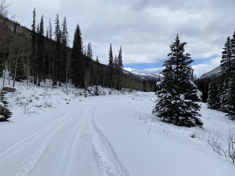
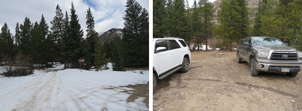
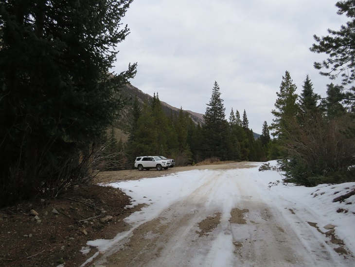
I was surprised to find a few other vehicles at the icy Herman Gulch trailhead when I arrived. Two looked abandoned, and the other looked like someone was sleeping inside. Brave, considering it was 12 degrees outside (which seems to be the magic number this season). I parked, gathered my gear, and was on the trail at 5am. This time of year it’s very cold in the mornings, which means it’s very difficult to motivate myself to get out and hike, but I always know I’ll be glad I did later. Such was the story this morning.
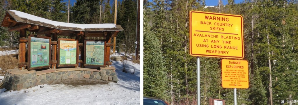
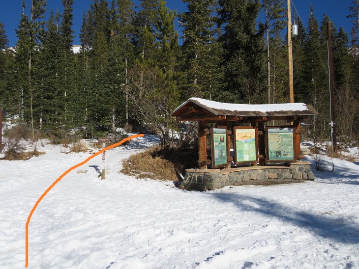
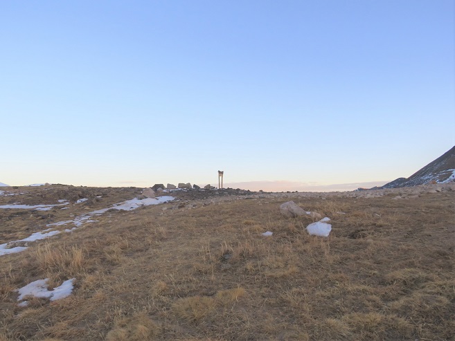
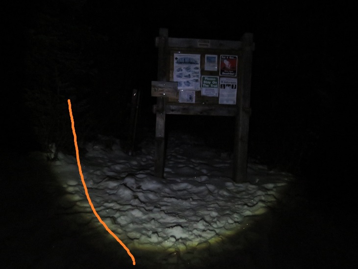
The trail starts just behind the information sign at the north end of the parking area.
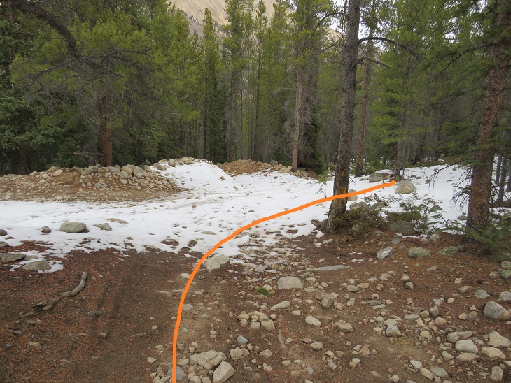
I followed the Herman Gulch trail for .25 miles before turning left and a junction and following Herman Gulch Trail 98 (the signs are obvious)
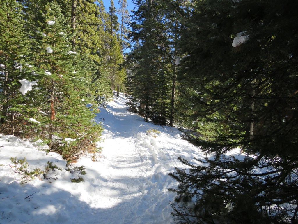
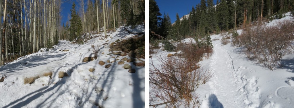
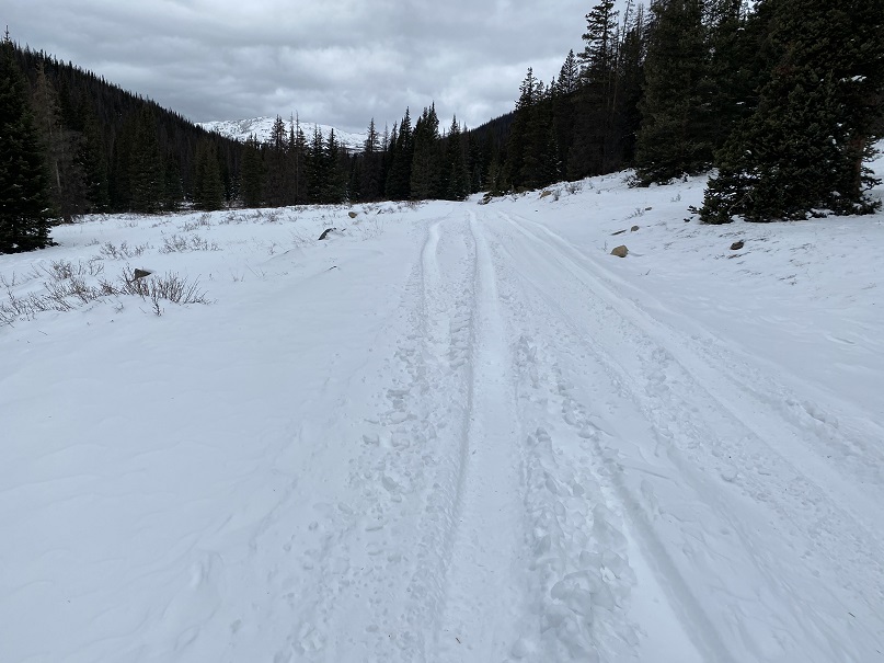
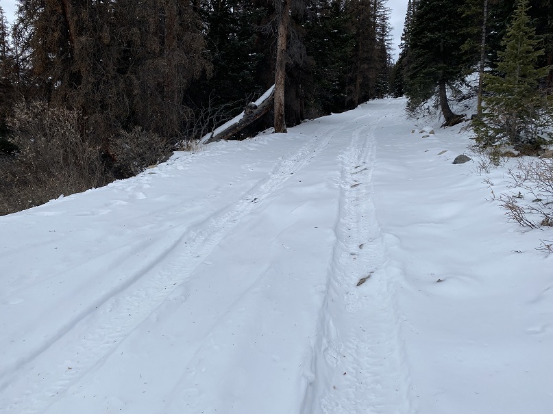
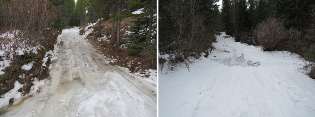
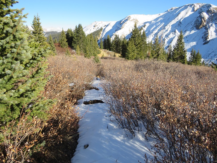
I followed this well packed, class 1 trail for 3.5 miles to the upper basin.
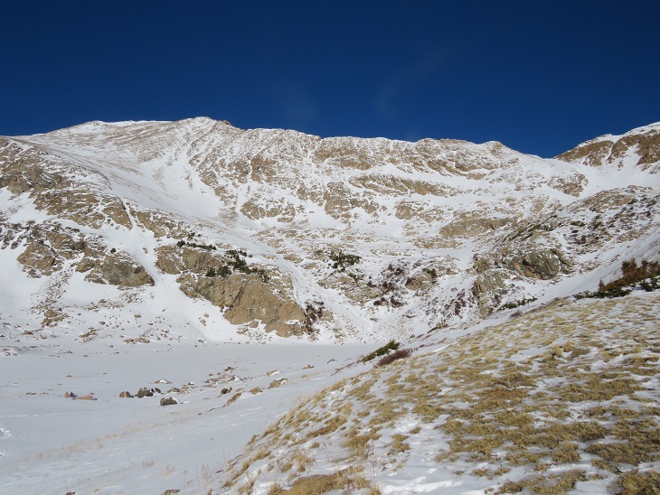
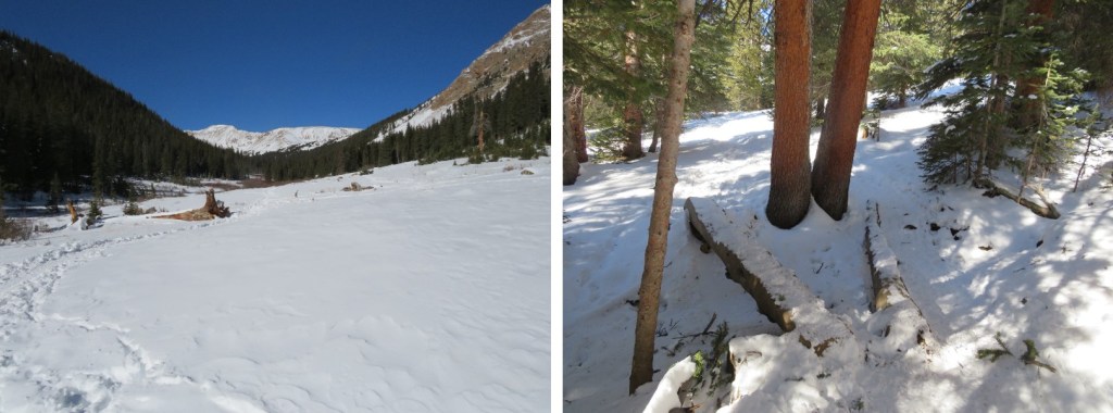
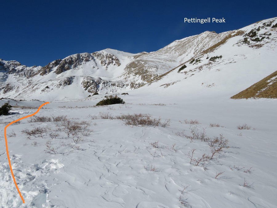
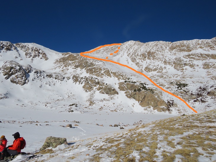
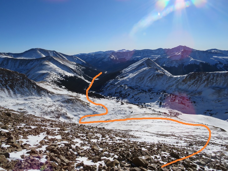
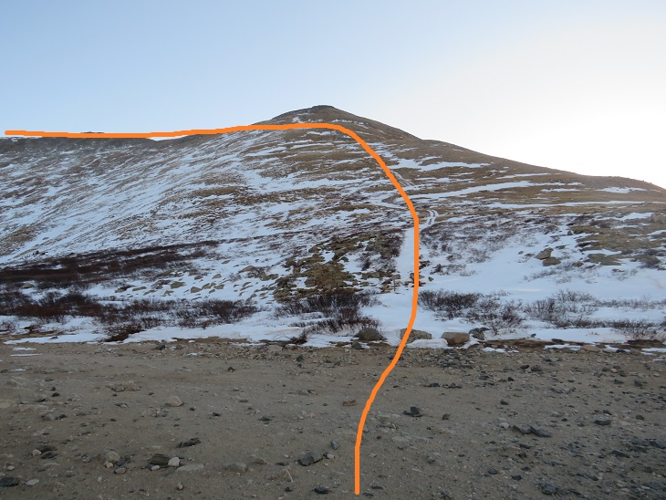
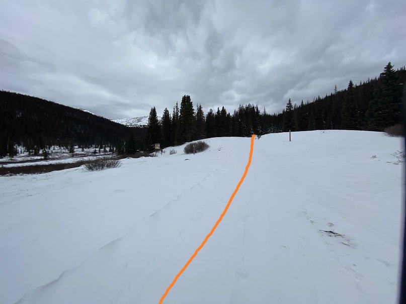
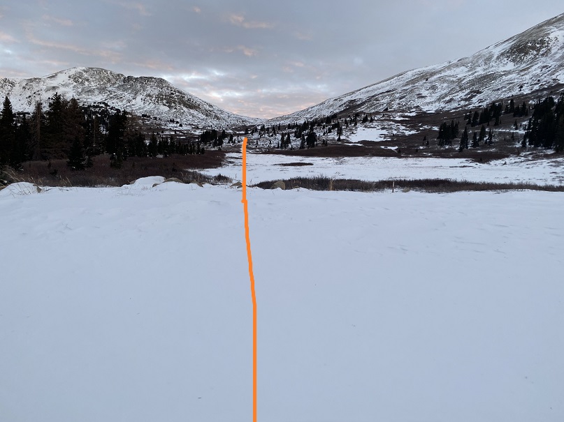
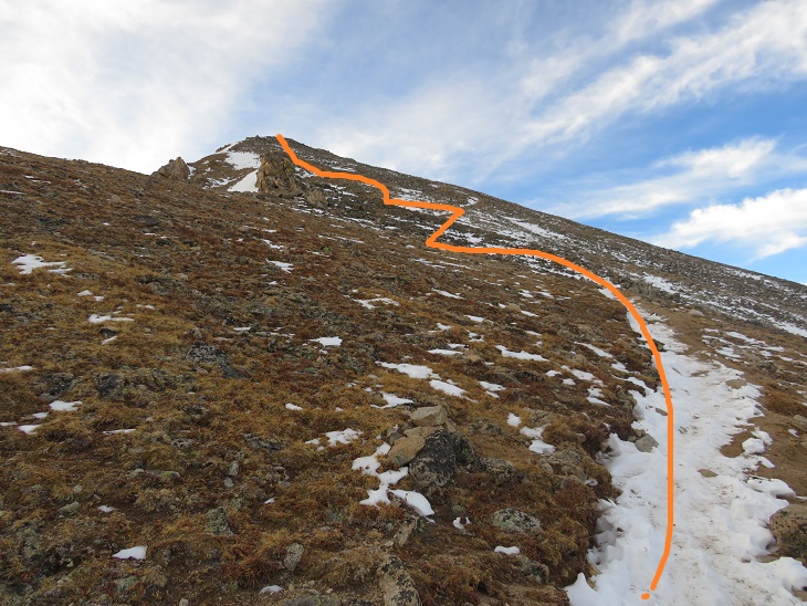
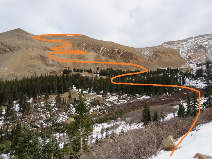
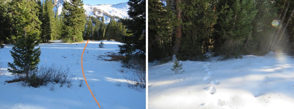
Once in the upper basin the trail ended and the fun began! I put on my snowshoes for this part. I knew there was a lake here (Herman Lake), but with the snow I wasn’t sure of it’s exact location/outline, so I skirted the lake to the right, staying on what I knew to be solid ground. I’ve fallen into a snow covered lake before, and didn’t want to repeat the experience. Here’s an over view of my hike. I took the solid line up, the dotted line down
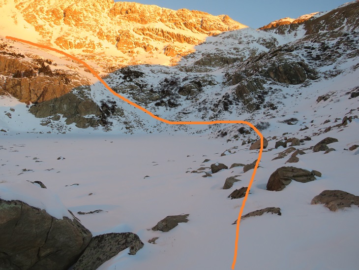
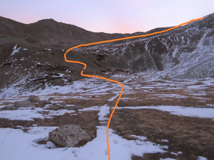
And step by step, first skirting the lake
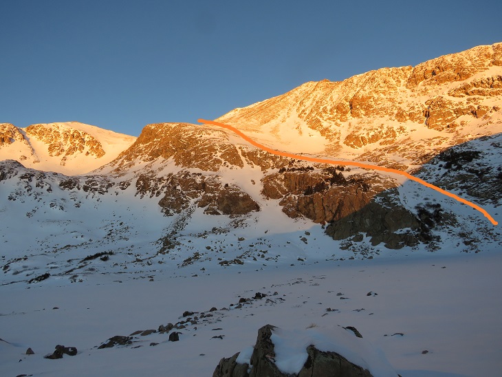
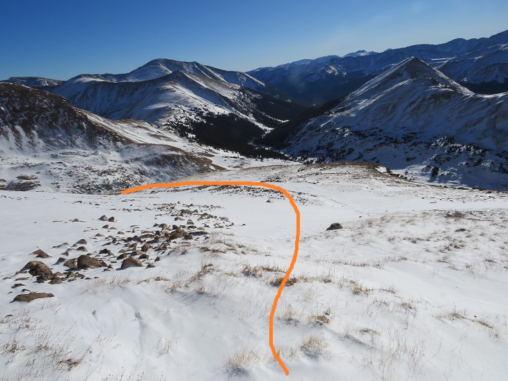
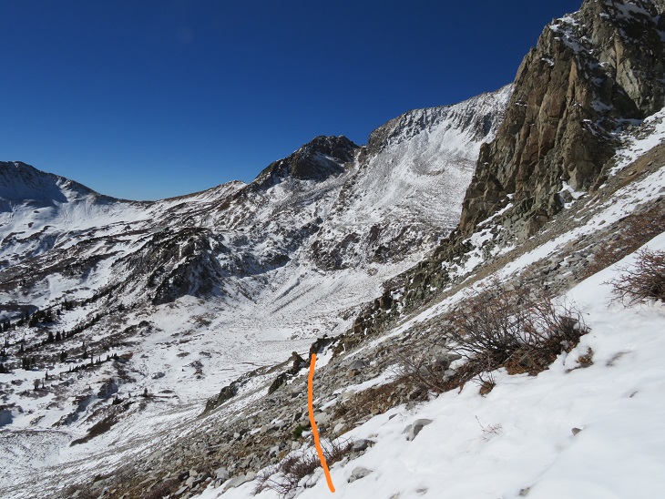
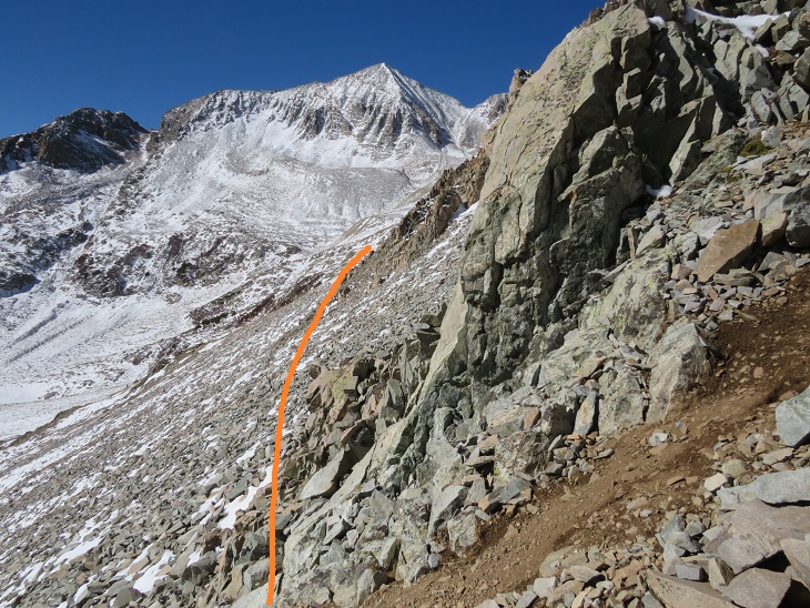
Then finding an access rib, and following it west
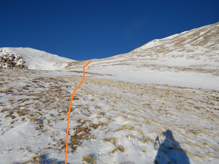
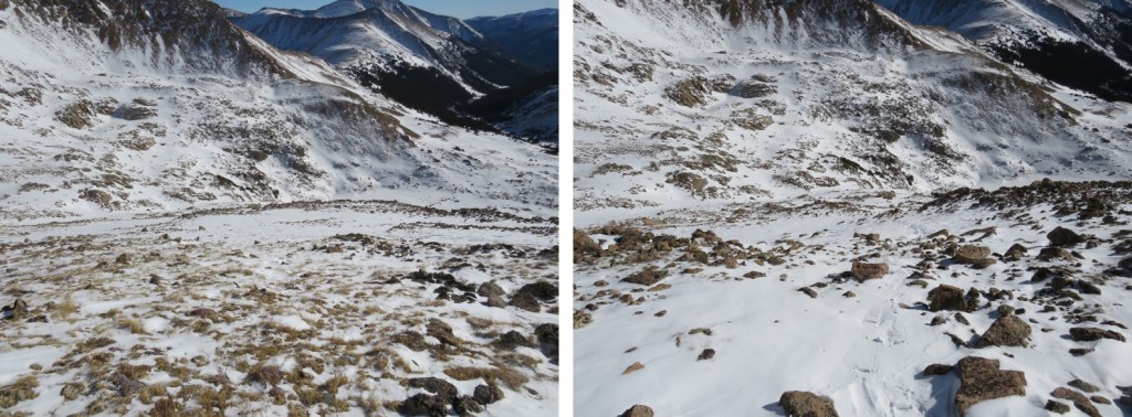
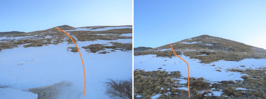
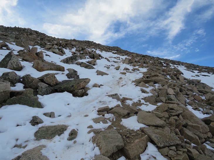
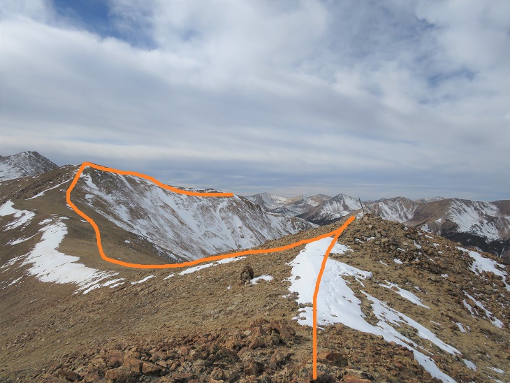
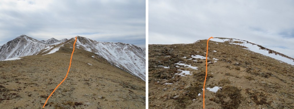
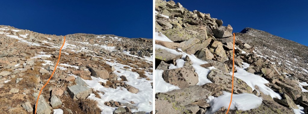
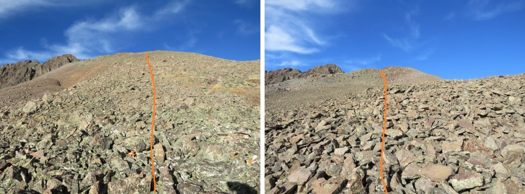
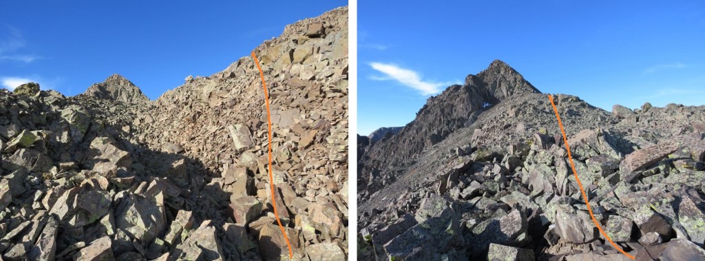
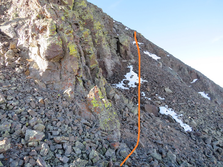
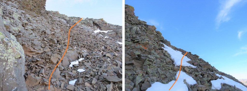
The snow here was sugary and I kept postholing/treading backwards. I’d forgotten my ice axe at home and only had my trekking pole. The trekking pole worked, but if I’d slipped it would have been nice to have had my ice axe (especially just before the summit). Here are some pictures of the way up the rib
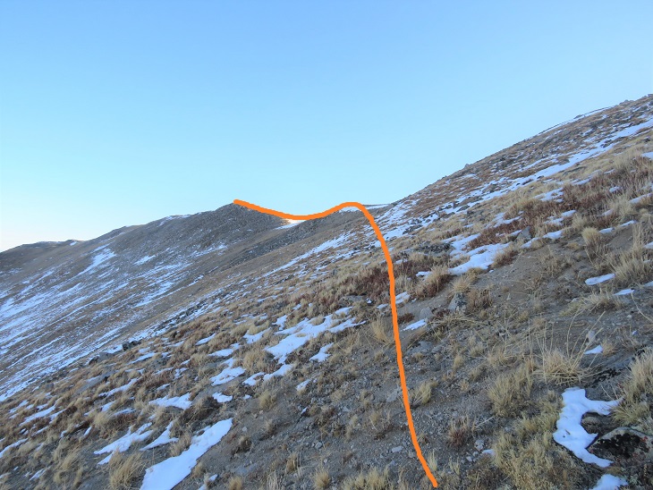
The further up I hiked the less snow there was. Here I kept on my snowshoes because they were helpful more than not. I aimed for the saddle
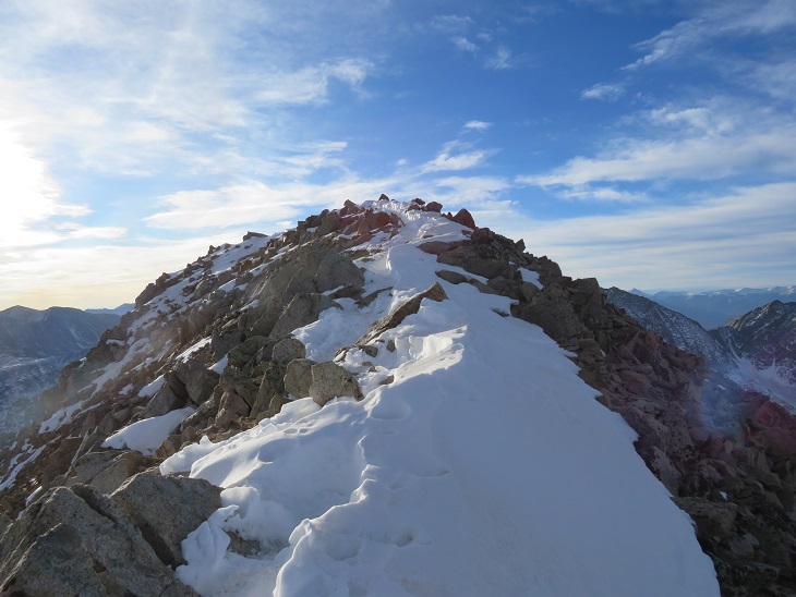
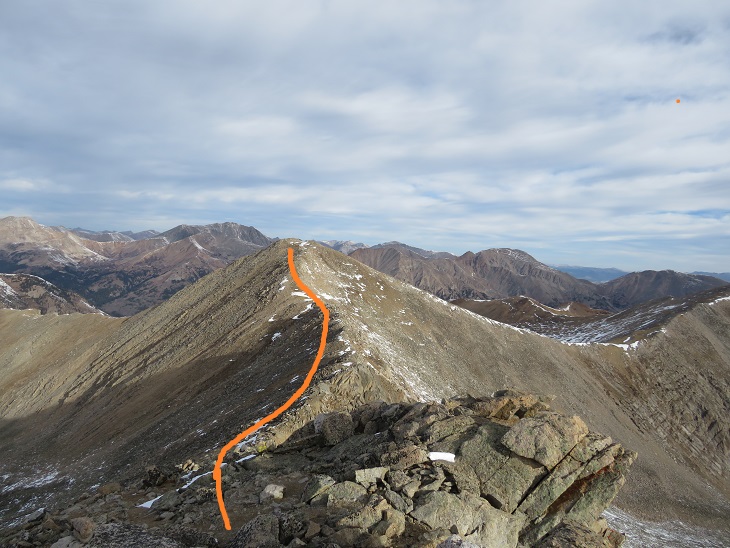
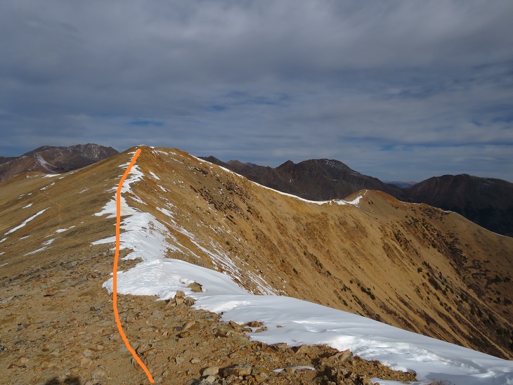
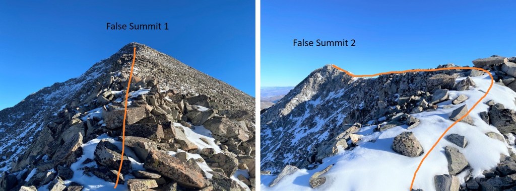
Once at the saddle I had to take off my snowshoes because they started getting in the way. Here I turned right, and followed the ridge northeast to the summit.
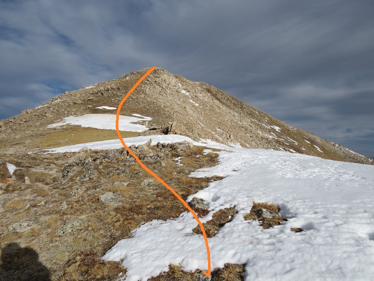
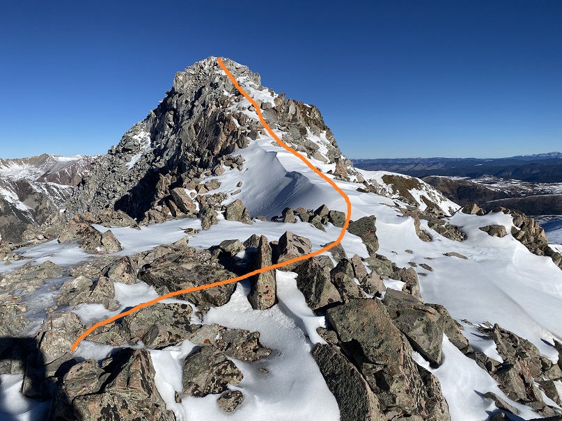
There was snow at the summit, but it wasn’t worth putting on my snowshoes. Here is where I would have liked my ice axe as well. Instead, I held my snowshoes in one hand, trekking pole in the other, and climbed up. The snow here was very sugary and at times I sank up to my waste.
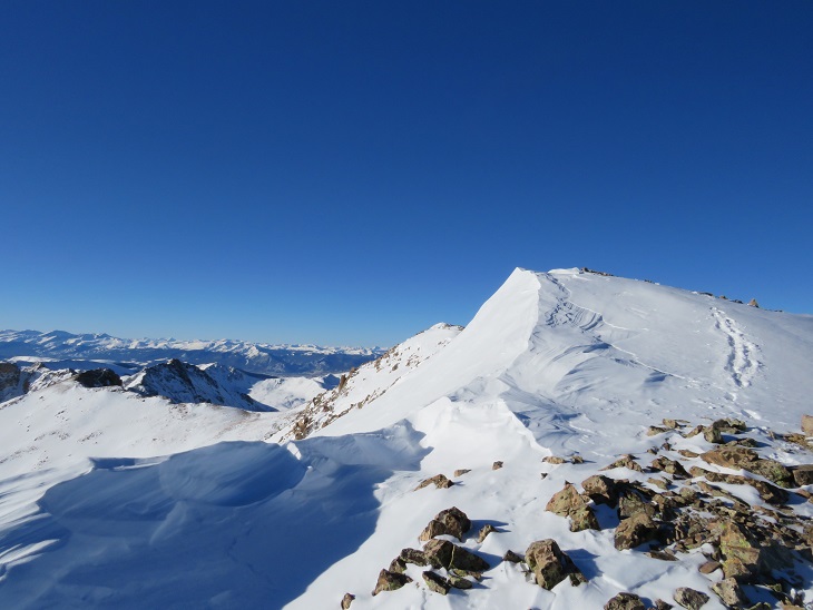
But this wasn’t the summit… Here’s the actual summit
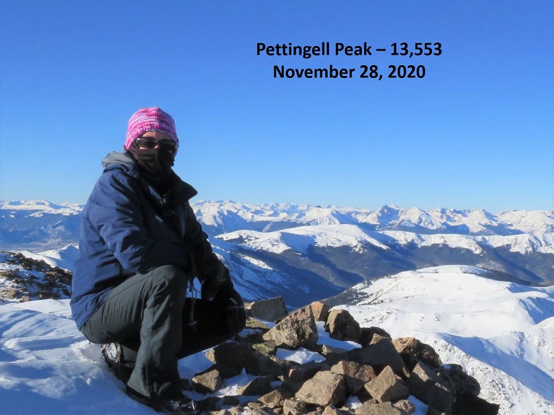
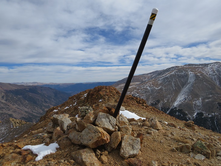
I summited Pettingell Peak at 8:50am
Pettingell Peak:
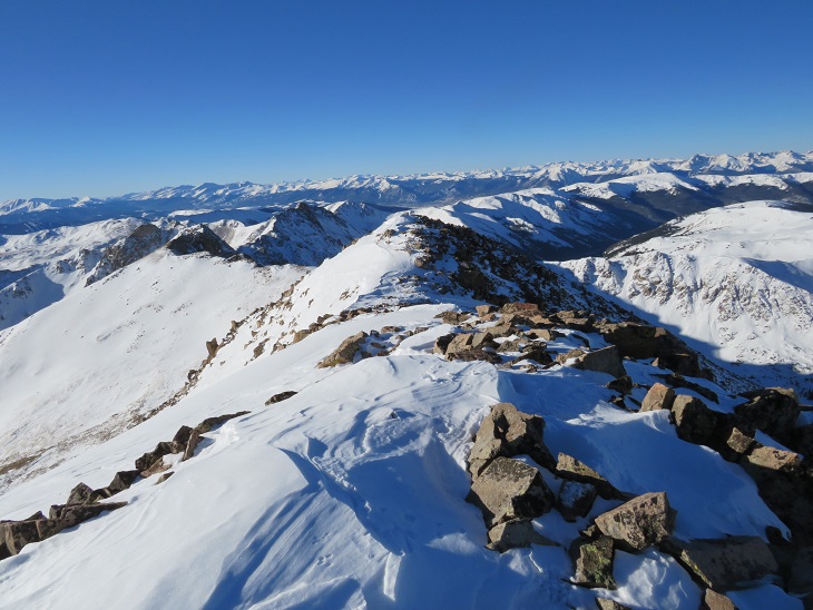
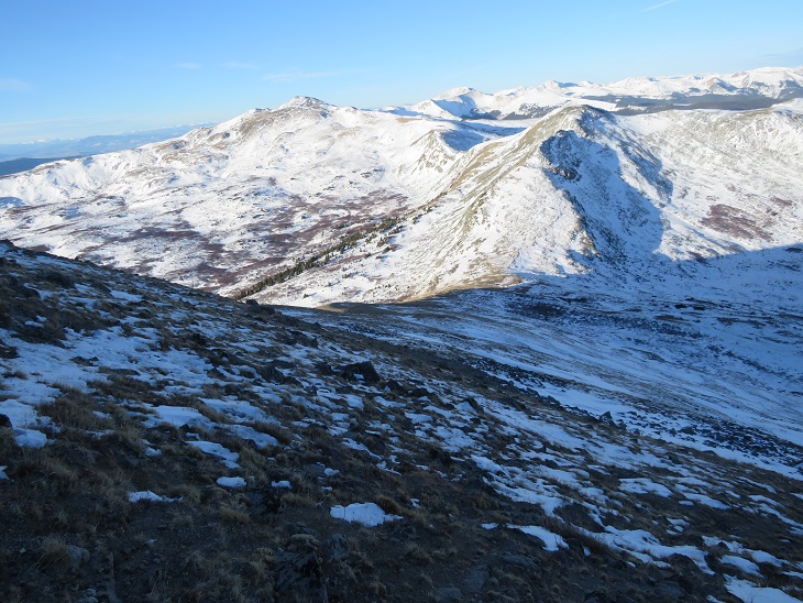
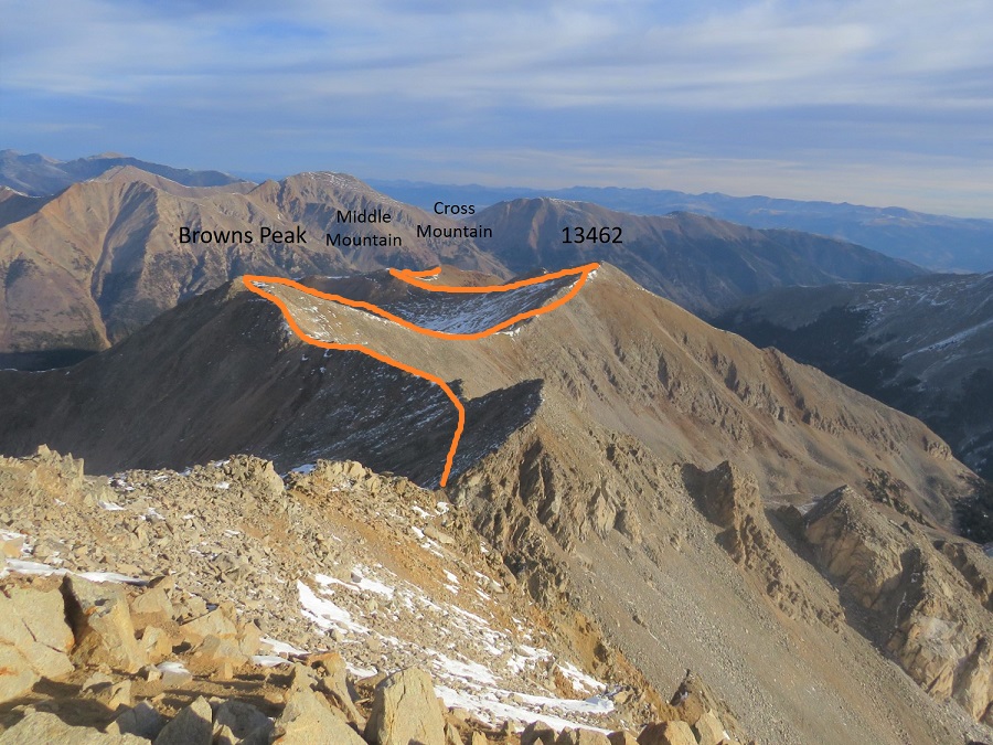
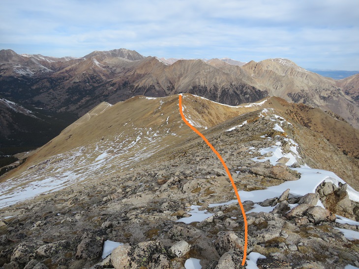
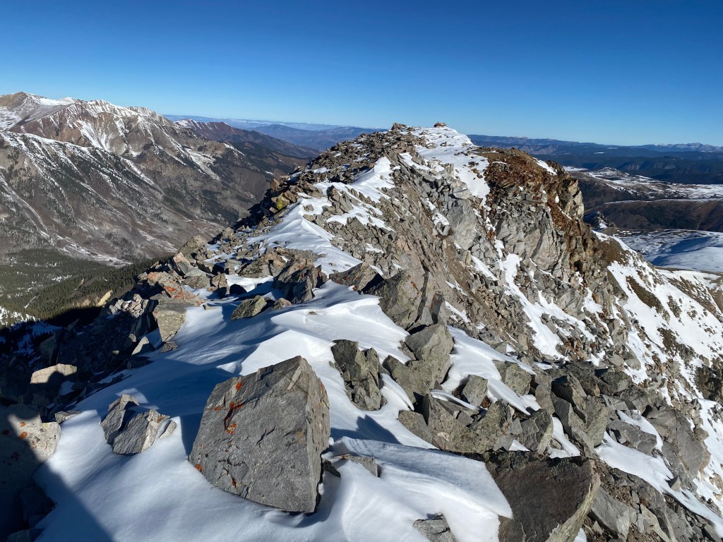
Here’s looking back at the ridge I took in
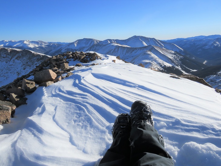
It was a beautiful day so I sat for a bit on the summit, enjoying the view. (I was so glad I’d gotten out and hiked!)
From the summit I continued hiking northeast, making a little loop of the ascent.
Looking back, you can see a cornice is beginning to form near the summit
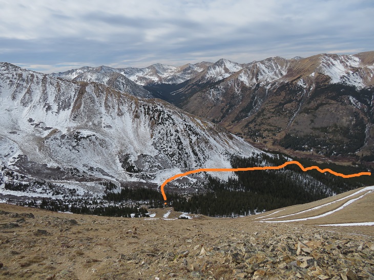
Here’s an overview of the route I took down from the ridge, back into the basin, and out through Herman Gulch
The initial descent didn’t have much snow, so I scree surfed down. Here’s a visual of the fun
Scree Surfing:
After the scree ended I put on my snowshoes as I descended into the basin.
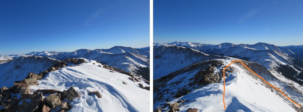
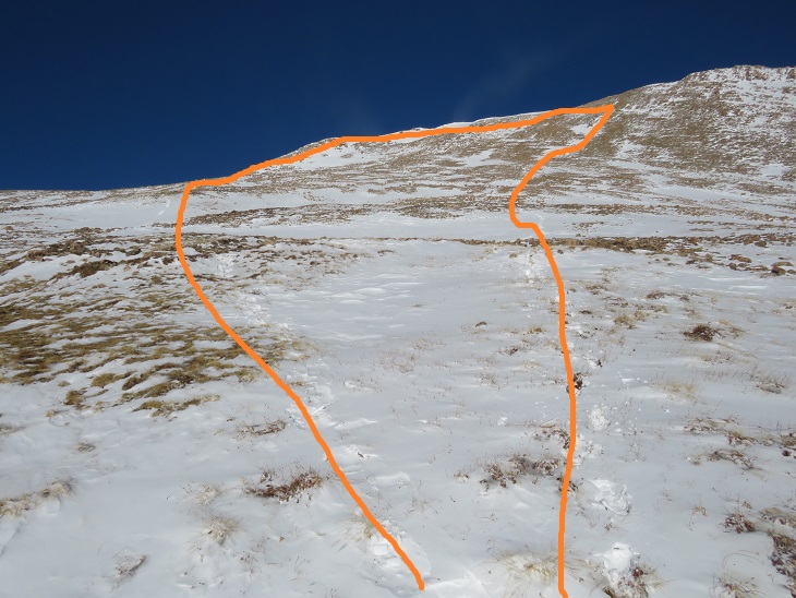
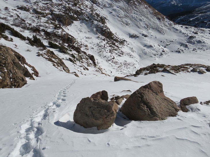
Here’s a look back at how I ascended (left) and descended (right) Pettingell Peak
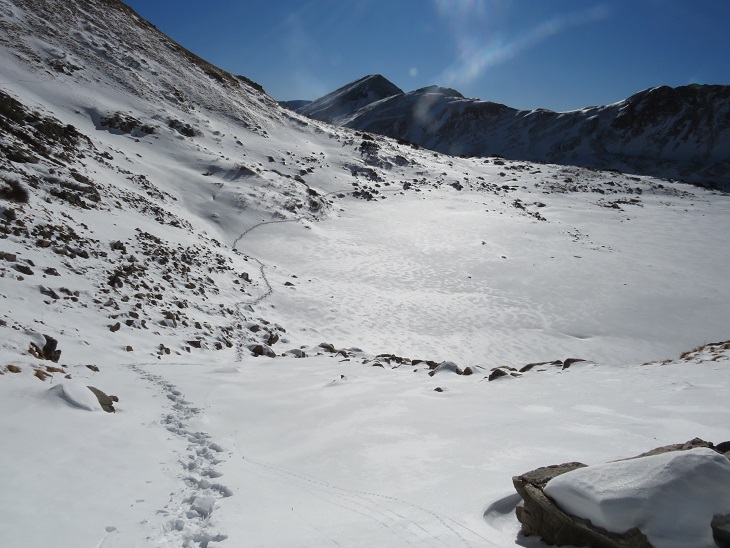
And now, back to the basin (following my tracks in)
I once again skirted the lake and made it back to the basin, where there were dozens of people, several dogs, and a well packed trail awaiting me.
Here’s looking back at my tracks coming down from Pettingell Peak.
I took off my snowshoes and followed the trail southeast
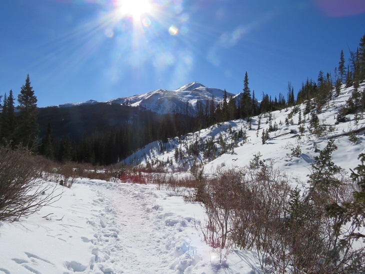
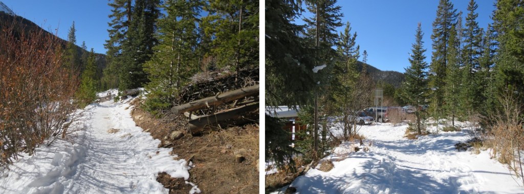
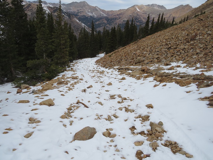
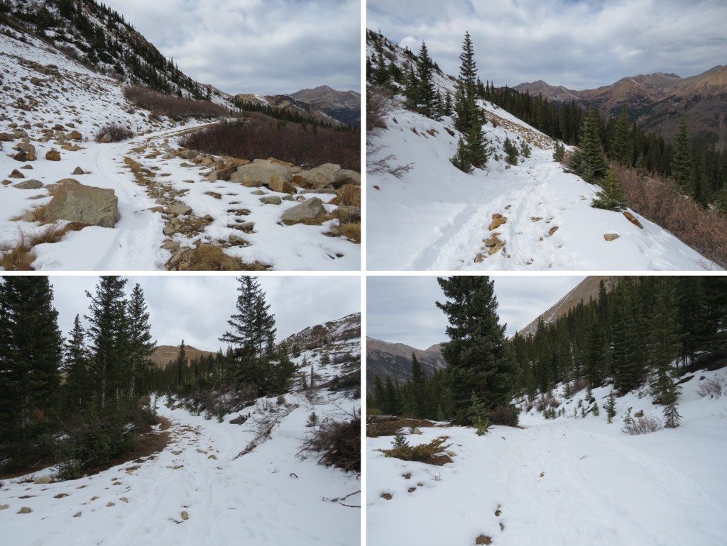
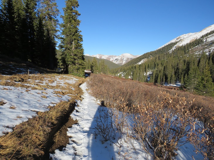
Here are some pictures of the well packed trail out. I passed dozens of people on this part of the hike as well
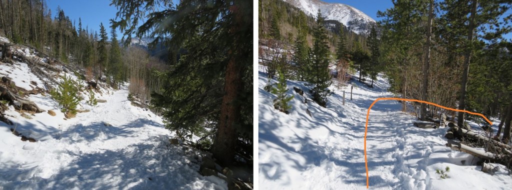
Back to the junction, where I turned right and hiked the quarter mile back to the trailhead
I made it back to the trailhead at 11am, making this a 9.89 mile hike with 3407’ of elevation gain in 6 hours. When I made it back to the trailhead all of the dozens of parking spots were taken.
Autocorrect is the bane of my existence (especially with Raynaud’s, as my fingers don’t register on touch screens very well). When I saved this trip via Strava and named it, I made sure I typed in ‘Pettingell Peak’ under ‘title your run’. I checked more than once to make sure I’d spelled the peak correctly. Unfortunately, it autocorrected once I hit send, and got titled instead ‘Petting Elk’. If you see any, don’t pet the elk.
It was an icy drive to the trailhead. I chose to do segment 3 today because all hikes I was interested in above treeline were too windy. I did realize this hike was a gamble though, as yesterday it had snowed. I wasn’t sure how much, but reports said 4-6”. Since I was here last week, I knew this would be the first accumulation in the area. If figured I could handle 4-6” of snow.
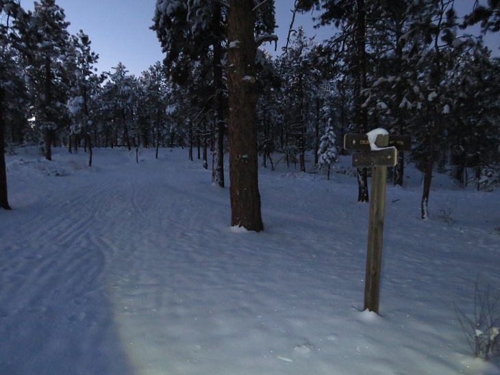
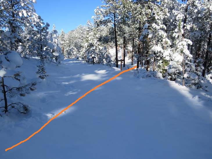
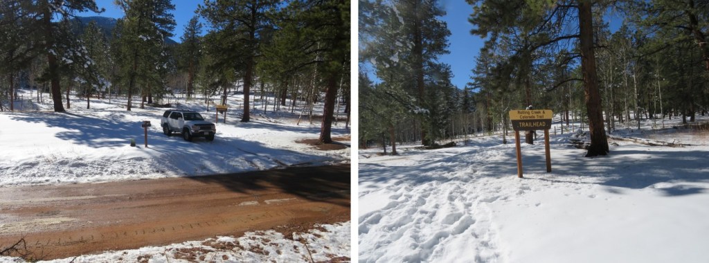
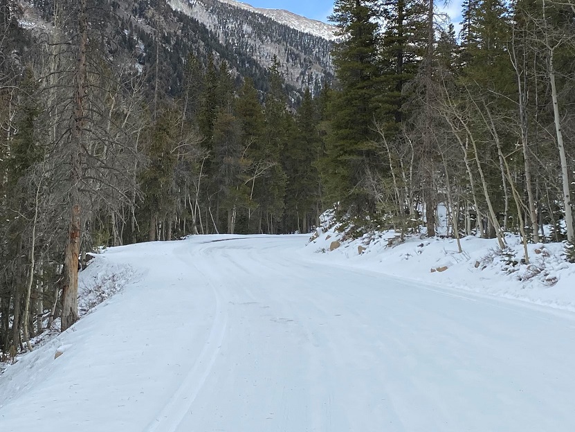
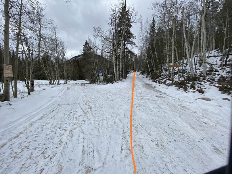
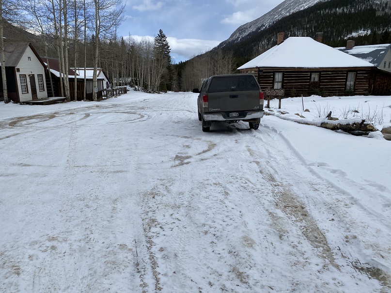
I made it to the Little Scraggy Trailhead to find the gate to the trailhead closed. I was expecting this, as when I was here last I’d noticed the gate was already closed. There are 3-4 parking spaces just outside the gate on the side of the road. There was a lot of snow on the side of the road, so I spent 10 minutes or so backing in and out of a space, packing down the snow. It was 12 degrees outside. I put on all my cold weather gear and was on the trail at 6am. The trail follows the road behind the gate. (Obviously, this picture is from last week, before the snow).
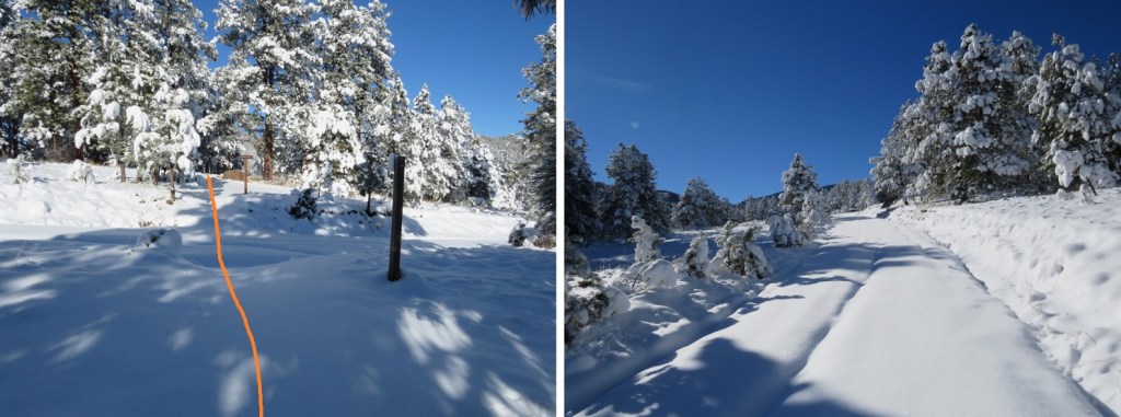
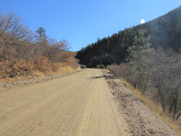
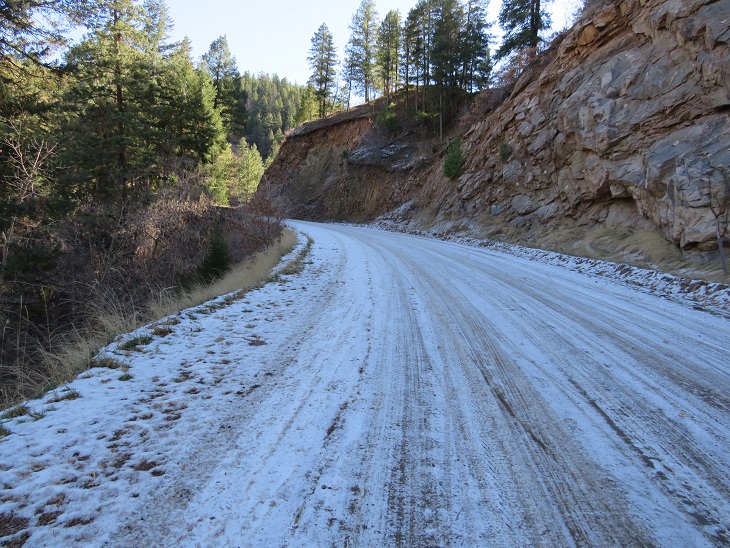
After hiking along the road for about 1 mile I came to the Little Scraggy Trailhead. Even through the snow, the road was visible.
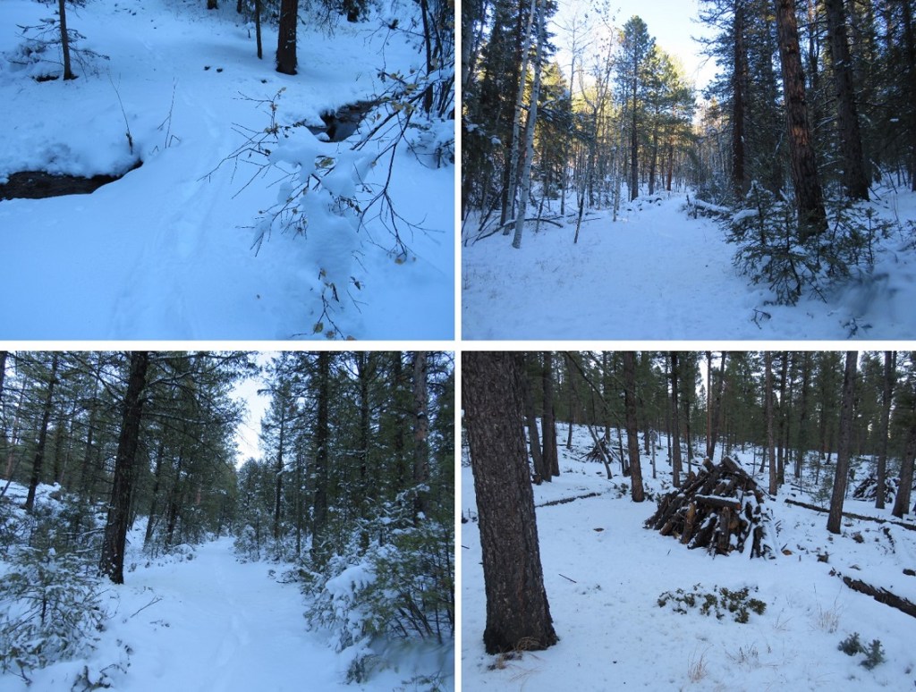
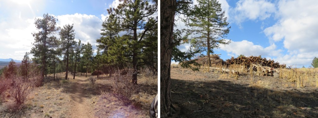
I passed a large woodpile
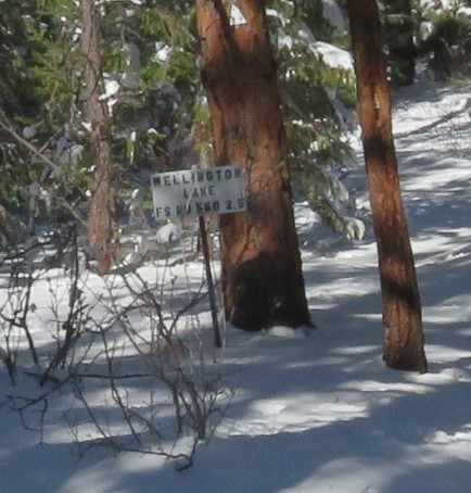
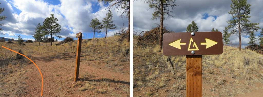
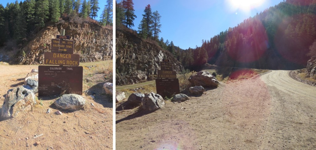
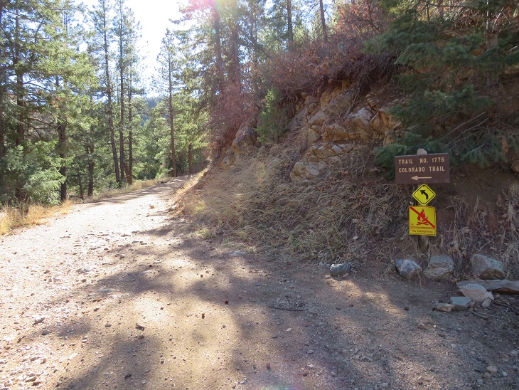
This part of the trail has a lot of obvious signage.
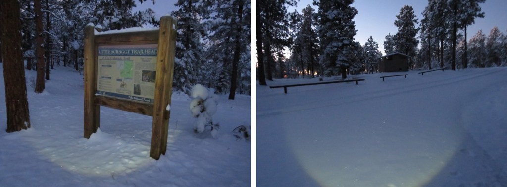
The Little Scraggy Trailhead has an information sign and bathrooms (I didn’t check to see if the bathrooms were closed for winter, but I’m assuming they are, as the road’s closed.
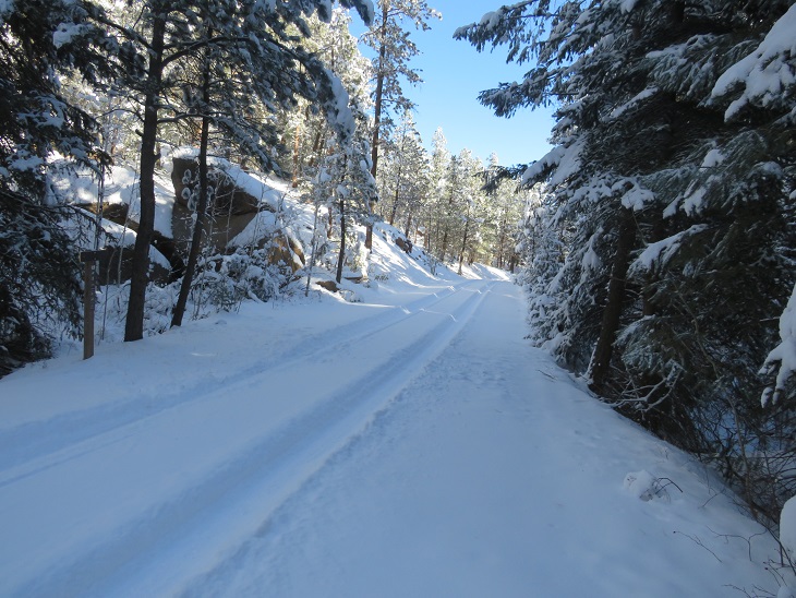
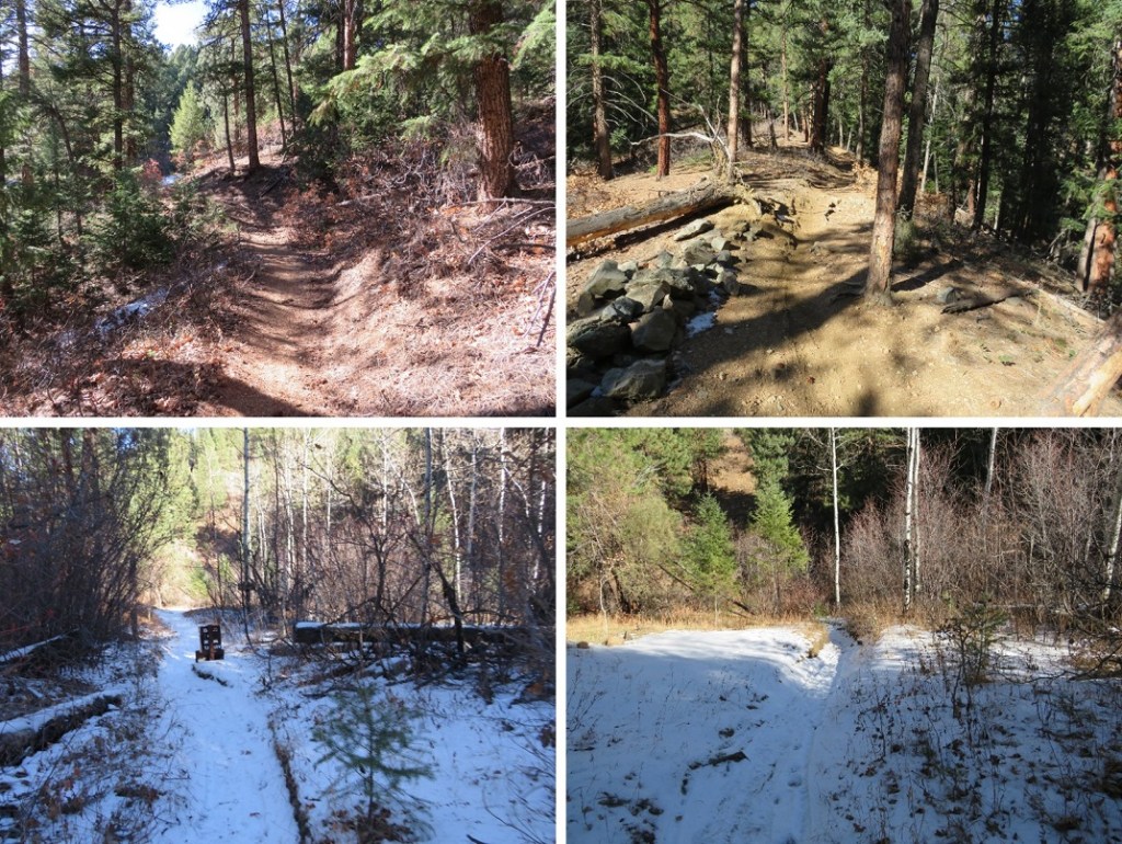
From here I followed a trail instead of a road. The trail was covered in snow, but I was still able to tell where it led (most of the time).
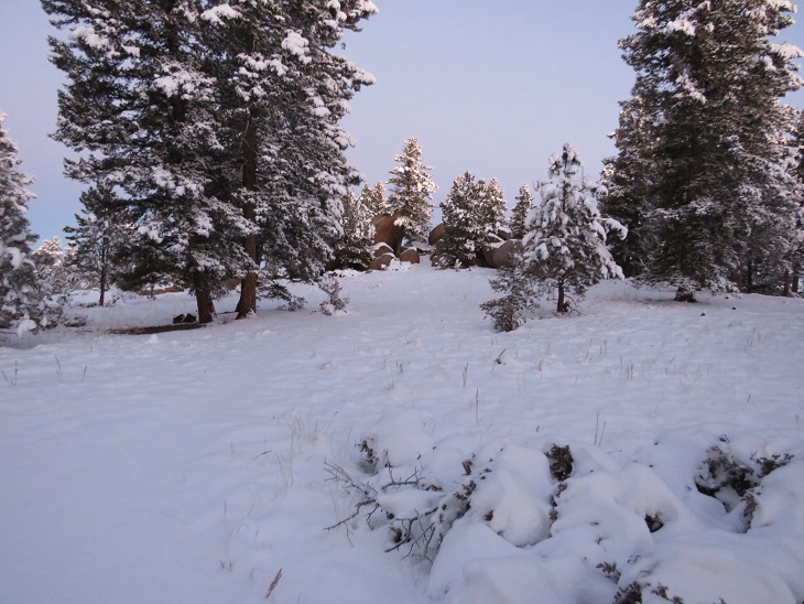
As the sun rose, I passed a really cool rock outcropping that looked like a great place to camp
And I started seeing a lot of deer (and deer tracks)
I saw a sign that said ‘overlook’, and wanted to take a look, however, my toes were frozen. I told myself I’d take a look on the way out (which didn’t end up happening, for reasons I’ll explain later). Instead of heading straight I followed the trail to the left. Here I heard a pack of coyotes. They sounded close, yipping just over the hill. At the end of the yips I heard a bark that sounded suspiciously like a dog (but I’m sure what I’d heard initially were coyotes).
This next part of the trail was bitterly cold. I realized later in the day that due to the position of the mountains and time of year, this part of the trail never sees sunlight. The snow was sugary and soft and kept my toes frozen. I kept trying to move my toes inside of my new shoes, willing the circulation to continue flowing. Over and over again I wondered if I should turn back? How did one know when you got frostbite? At what point should I worry? What was the point of no return? Lots of these kinds of thoughts ran through my mind as I continued on. I’m not one to give up easily. The views of Little Scraggy Peak and Green Mountain were nice however.
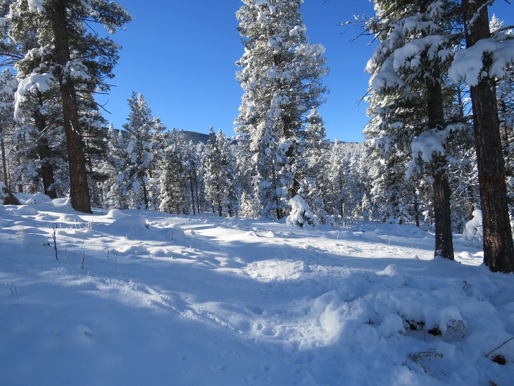
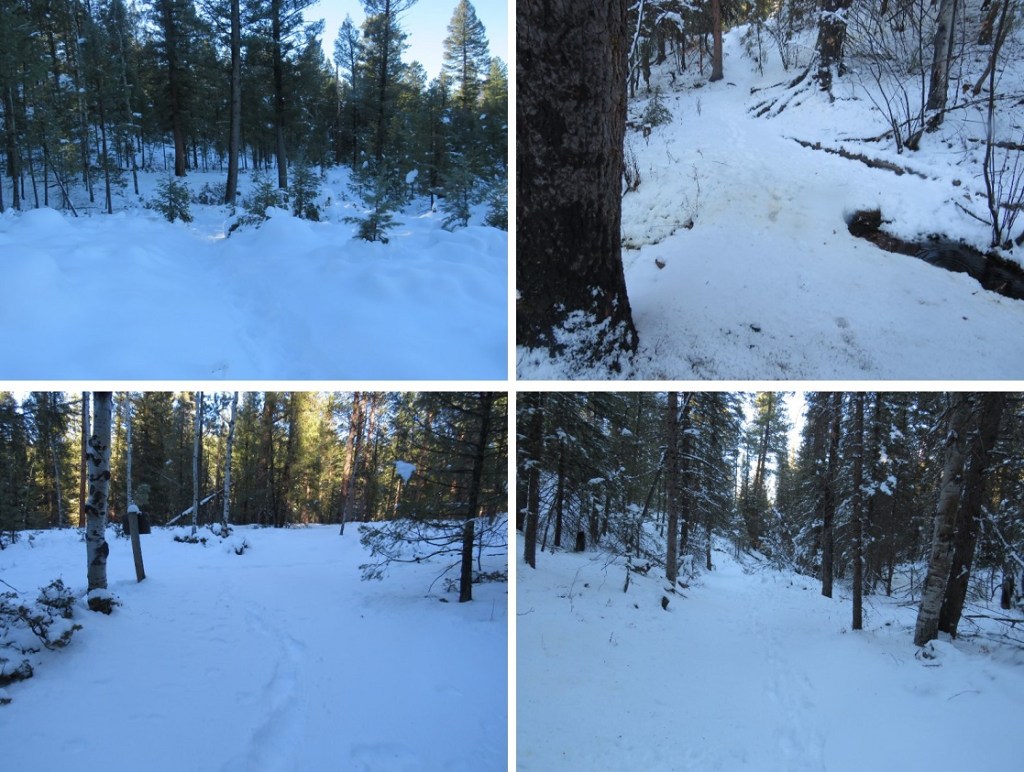
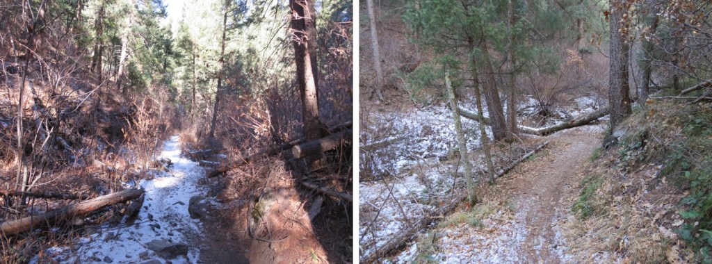
Here are more photos from this part of the hike. Sometimes the trail was easy to follow, and other times (due to snow) almost impossible. Luckily there were good signs at junctions
I passed through a wildfire mitigation area
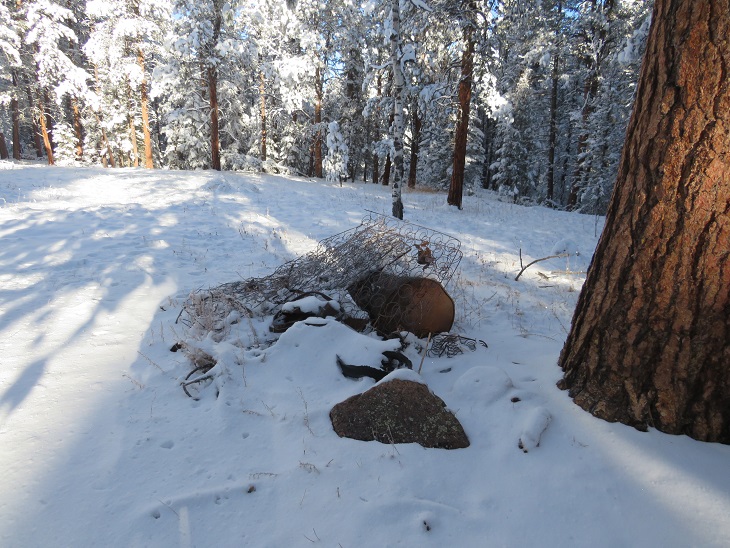
And some historical trash along the side of the trail. It was weird to find an old bedspring and cast iron and debris but no structure.
More good signage
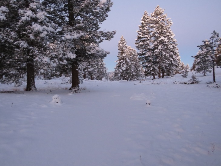
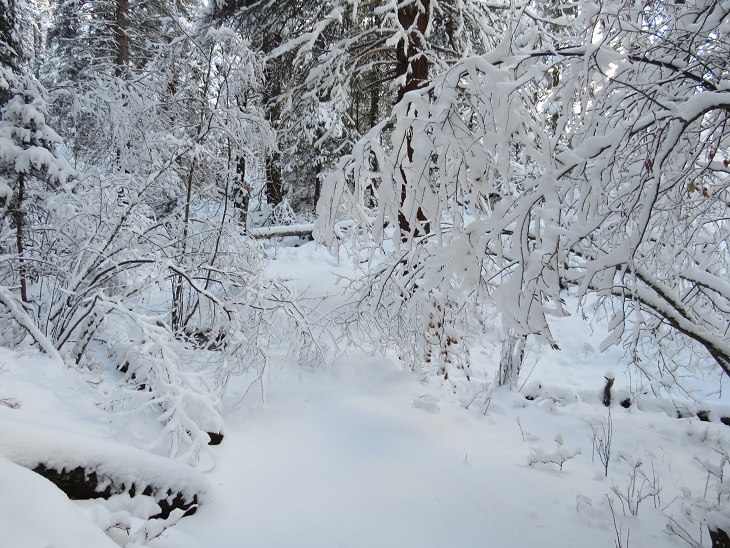
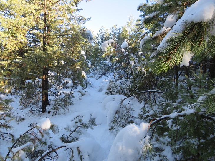
Here I came to the most beautiful part of the hike. The trees and bushes were bent over, their branches weighed down with snow. As the sun rose the forest became magical, and in places the trail became difficult to navigate. After appreciating the beauty I took my trekking pole to the branches to disperse the snow, and the branches bounced back and stood upright again.
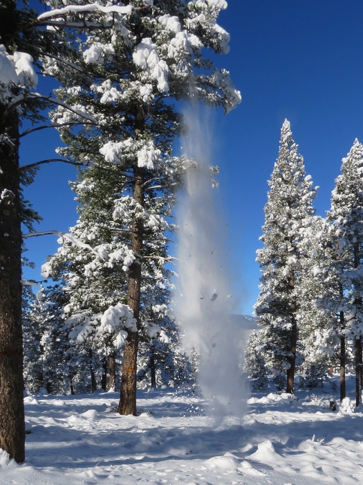
As the sun warmed up the trees, snow started falling from the branches. It was warm out, but I kept my hat on because of the falling snow.
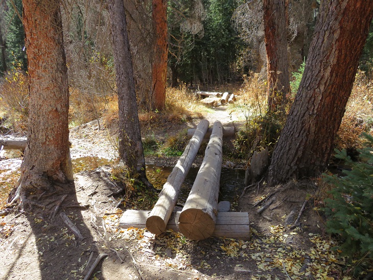
There were several small creeks to cross on this segment, which means plenty of water. These were easy to cross and weren’t entirely frozen over, so I got to hear the water flowing underneath the ice. Most of these areas had logs to walk across. There wasn’t a log here, but the ice was solid enough for me to walk on top (I had microspikes on for this entire hike).
The snow seemed to be heaviest here. I’m guessing 8 inches or so. I contemplated putting on my snowshoes, but that sounded like too much work and brought with it the possibility of frozen fingers, so I postholed instead.
At 8.75 miles I came to the junction with Buffalo Campground
And then crossed three roads. The first went to Meadows Group Campground, but it didn’t look like anyone was headed there today
The next road was road 543. This is the low elevation point of the segment.
The final road went to a rifle range, and actually had tire tracks!
It was so nice to be hiking in warm weather. I use that term loosely (it was still below freezing), but the sun on my face was magical. Also, I could feel my toes again.
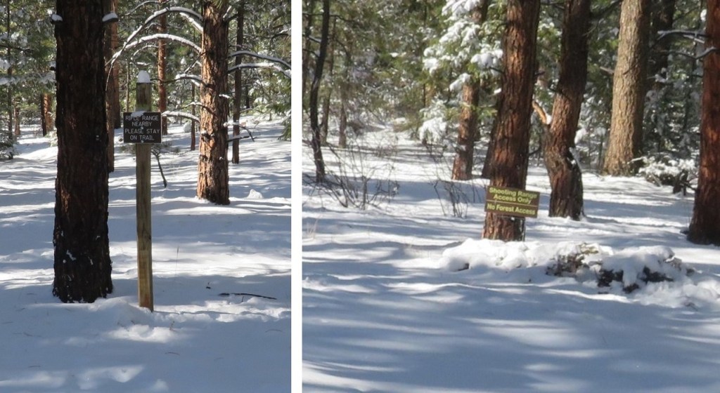
Now I was getting excited. My research had told me this was a 12.2 mile hike, and I knew I had to be getting close to 12 miles. I kept hiking, and came across signs asking me to stay on the trail because I was near a rifle range. No problem!
I hiked, and hiked, and hiked some more, excited I was getting near the halfway point for my hike today. I knew I had to be over 12 miles at this point, so I should be turning around soon. That’s when I saw it: a sign saying the trailhead was 2.5 miles away!
NO WAY! My spirits plummeted. I did some quick mental calculations, as I had a decision to make. It was now 2.5 more miles to my turnaround point. This would add 5 miles to my hike, and 2 hours to my day. If I continued on, I’d be hiking 30 miles today in the snow, trenching the entire way. Also, I’d most likely get back after dark, and I didn’t have cell service, so I had no way of telling anyone I’d be home late. In the end I decided I’d already gone this far and I didn’t want to waste the progress I’d already made: I was going to continue on to the Rolling Creek Trailhead. Also, this was going to be a long day! I resigned myself to not getting pictures of the start of this trail, since I’d be both starting and ending in the dark.
I hiked around what must be private property, given the fencing. This fence must have fallen inwards a few times: they steadied it with a large rock.
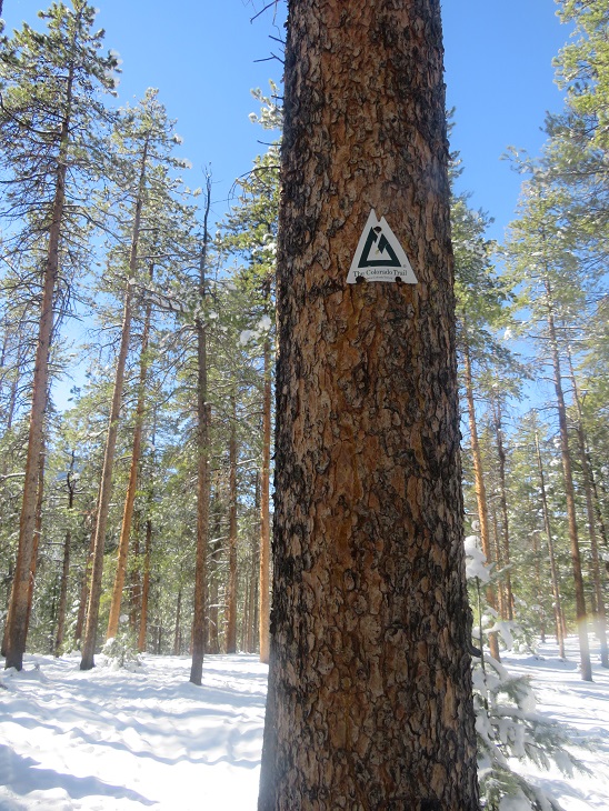
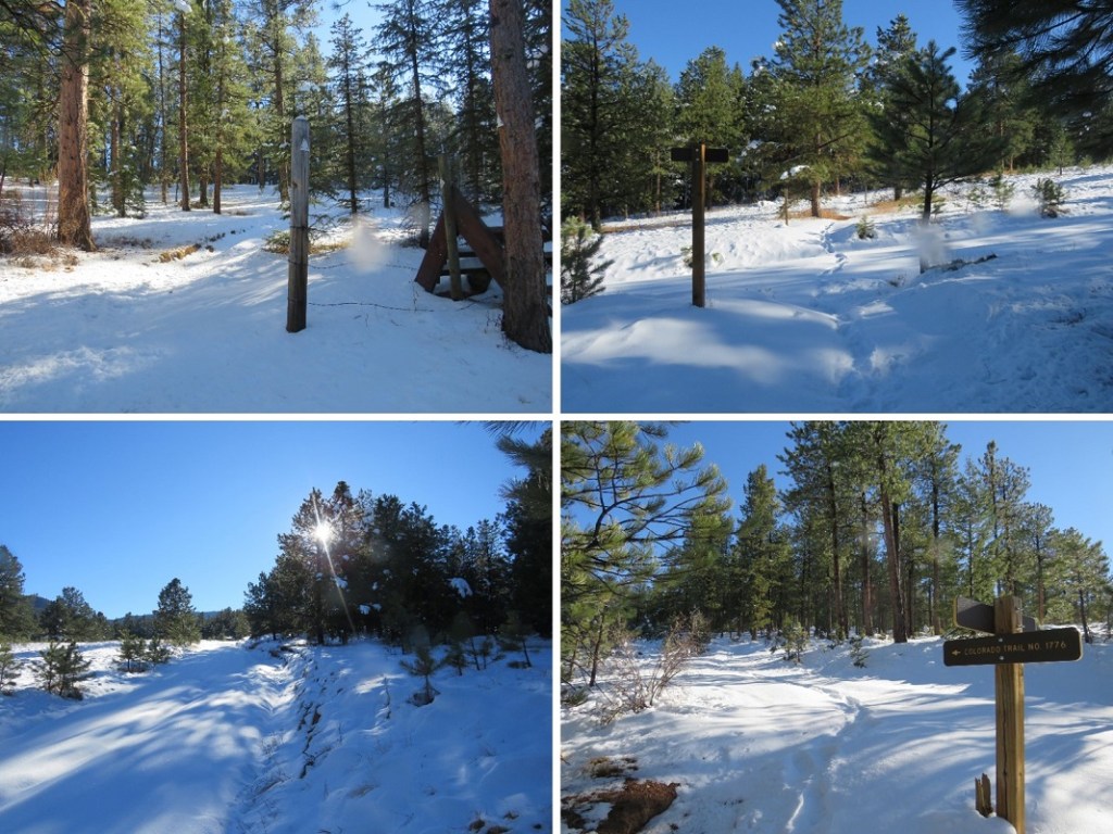
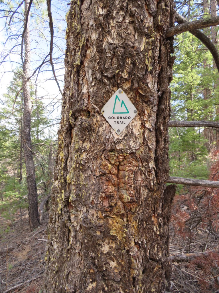
Yep, I’m still on the right trail! I was excited to see a Colorado Trail marker here. They are few and far between on this segment (although there is great signage).
The last 2.5 miles seemed to take forever!
I hit the high point of the trail, saw power lines, and then descended a short distance to the trailhead.
I made it to the Rolling Creek Trailhead at noon. I’d hiked 14.84 miles in 6 hours. Doing the math, I’d definitely be getting back after dark (dark now is 5pm, although, as I was to find later, it comes earlier on this segment). There was one vehicle parked in the small lot at the trailhead (taking up every spot available with the way they’d parked)
Even though it was noon I knew daylight was limited, so I didn’t waste much time here. I quickly turned around and headed back the way I’d come. The segment started with a little bit of elevation gain
Route finding was much easier on my way back, as I just followed my tracks in the snow
One really cool thing about this part of the day: all the snow that had been covering the trees was being warmed by the sun at a dramatic pace. Within minutes the trail became a rainforest, with snow melting and falling all around me as water as I went. It truly felt like it was raining! By the end of this part all the snow was gone from the trees, and there were water marks in the snow below them.
Some more trail pictures
With the snow, much of this trail looks the same. I did see more tire prints on the road on my way back out
(Sorry about the water droplets scarring the picture: the water was falling from the trees at a rapid pace)
Besides the deer, my tracks were the only ones on the trail on my way back
While the sun was quickly melting the snow off the branches at the more exposed spots, snow still lingered on the trees in the shadowy areas. In the morning I’d gingerly walked through this area. Now, I whacked every tree with my trekking pole to remove the wet snow so I could pass.
As I rounded the north side of Green Mountain I once again entered the shadows. It was now I realized this area doesn’t get sun in the winter time. The temperature dropped, and I quickly became cold again. Little did I know, but even though it was still afternoon, I wasn’t going to feel the sun again today.
The snow once again became sugary. I assume this is due to the lack of sun/melting. I passed the fire mitigation area
And followed the well marked “Colorado Trail” signs
The sun was rapidly setting. It wasn’t yet 4pm and it was already getting dark out. I quickened my pace, knowing I still had a few hours of hiking left in my day, and also cognizant of the fact I had people who’d be worried about me getting back after dark.
The sun seemed to abruptly set, just as I passed Road 550. I still had 2 miles left to hike in the dark. I don’t mind hiking in the dark (in fact, I do it on just about every hike), but the lack of a visual aid became troublesome here because it seemed someone had brought their family to go snowshoeing in this area sometime earlier in the day. There were several sets of tracks and prints that didn’t really lead anywhere, and my tracks from earlier were lost in the melee. I also wasn’t able to get any good pictures of the last 2 miles of the trail (which I’d also needed for the first 2 miles).
I passed the Little Scraggy Trailhead in deep darkness (despite the early hour) and easily followed tons of tracks in the snow on the 2wd dirt road back to my truck.
I made it back to 126 and, just for good measure, walked to the other side of the road and tapped the Colorado Trail sign on the other side, just to make sure I’d adequately linked segments. I turned around and took a picture of my truck on the other side of the road (and the closed gate)
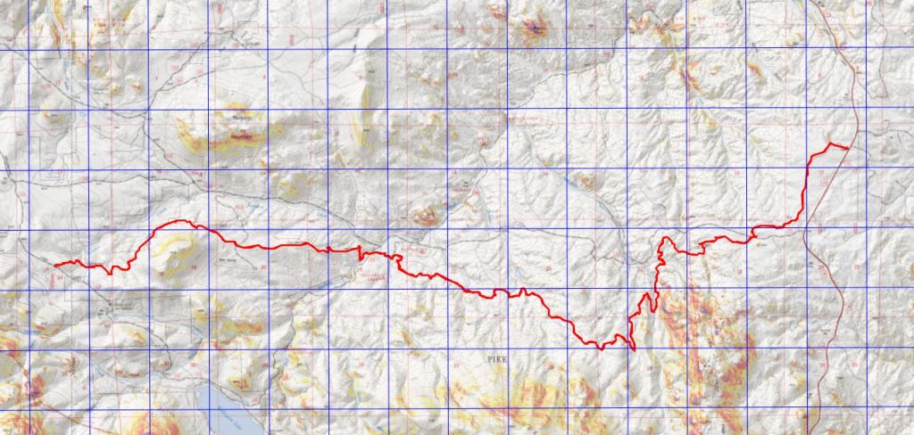
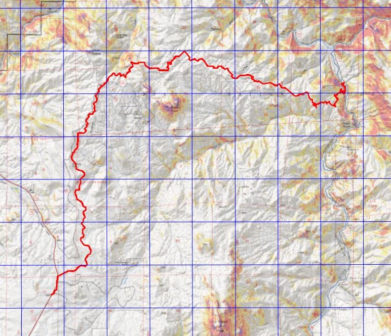
I made it back to the trailhead at 6pm, making this a 29.59 mile hike with 3362’ of elevation gain in 12 hours. I’d like to note I’d expected this segment to be around 23-24 miles, even with the added mileage from parking at the winter closure. Here’s a topo of my route. (Side note: feel free to contact me if you’d like a copy of the GPX file for this route).
My shoes were covered in ice when I got back to my truck. I shook most of the ice off, but some clumps stayed on my shoes for the 2 hour drive home, and even for a while after I set them by the fireplace. I was pleasantly surprised the hiking shoes I’d worn had kept my toes from frostbite in the conditions I’d hiked (30 miles, in consistent, sugary snow, for 12 hours, in below freezing temperatures). I have Raynaud’s, so this is phenomenal!
South Platte River à Little Scraggy à South Platte River
November 21, 2020
RT Length: 22.15miles
Elevation Gain: 3069’
High Point: 7762’ Low Point: 6099’
Time: 8 hours
Partner: SkydiverHiker
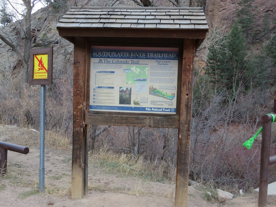
I had so much fun last week hiking Segment 1 I decided to hike Segment 2 this week! Actually, the weather was nice below treeline and yes, now I’ve caught the Colorado Trail bug, so this was an easy hike to choose for today. We arrived at the South Platte River Trailhead just before sunrise, and were on the trail at 6am, bundled in our warm weather gear.
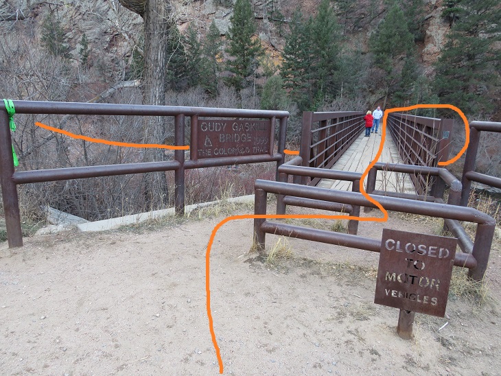
The trail starts at the east end of the parking area, and then circles under the bridge before heading southeast.
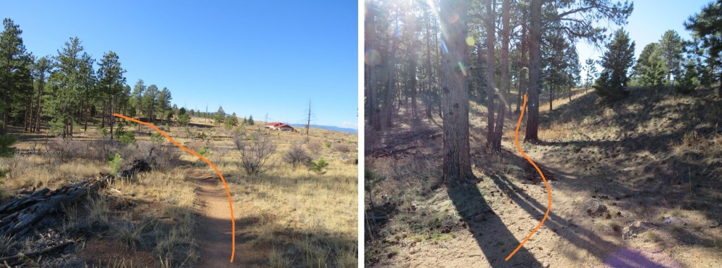
The trail is well marked and easy to follow
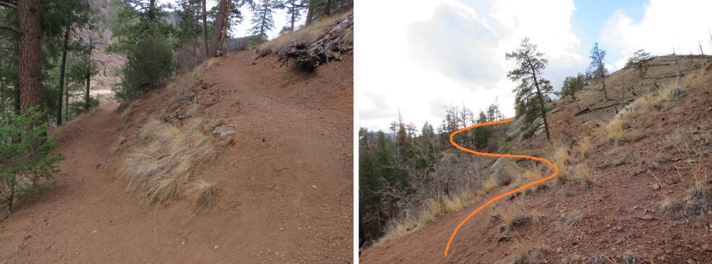
Shortly after crossing the bridge the trail starts switchbacking up the west side of the mountain.
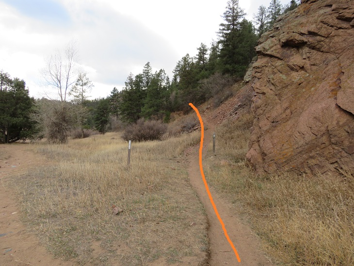
We hiked past an area we assumed was the abandoned Quartz Quarry (it wasn’t). Also, here I realized SkydiverHiker had thought we were going to a crystal quartz quarry (nope, a rock quarry). We met a hunter here wearing a bright yellow vest. He told us to be on the lookout: there were hunters up further along the trail, and let us know we’d missed the junction and were headed the wrong way. We thanked him, turned around, and wondered what they were hunting this time of year?
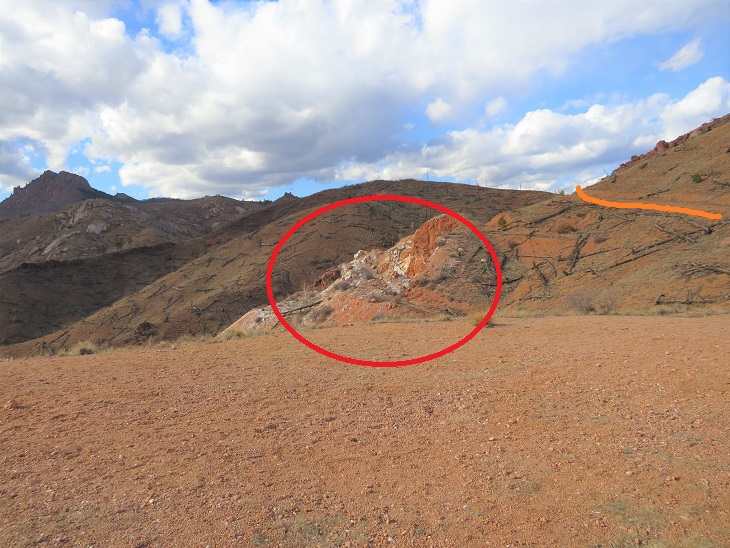
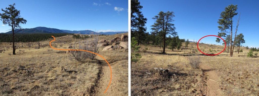
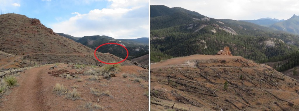
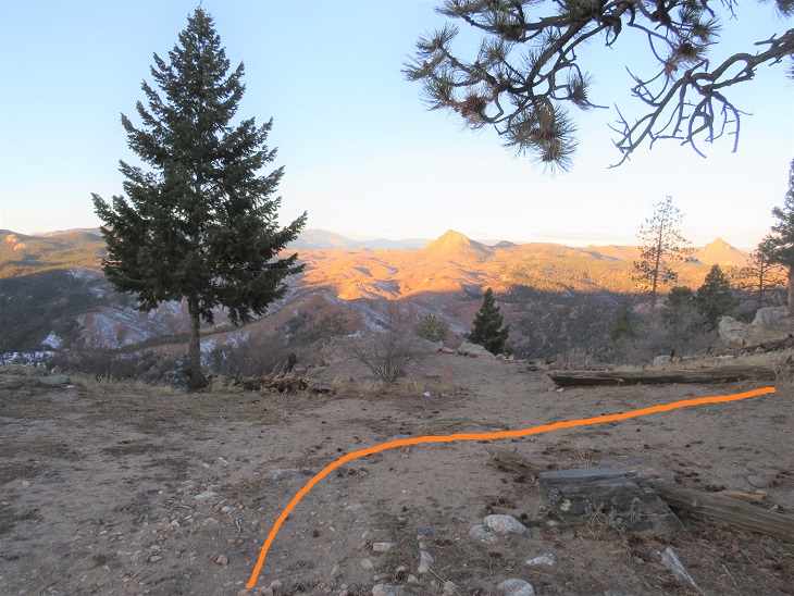
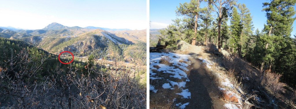
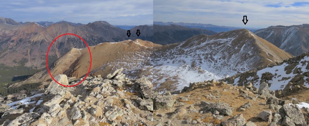
Unbeknownst to us, we passed the quarry in the dark (orange route, quarry circled in red. More on this on the way back, as we stopped here for a while. The quartz quarry is located 1.3 miles from the trailhead.
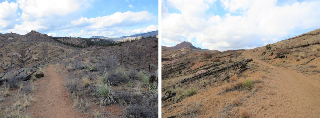
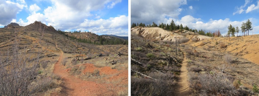
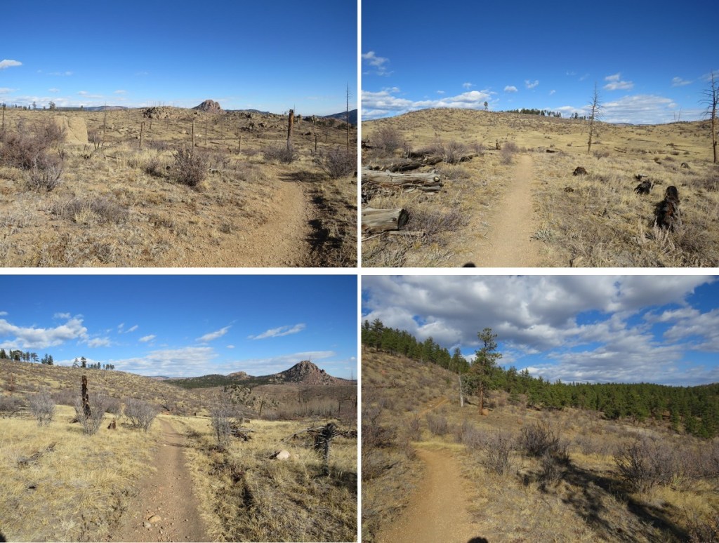
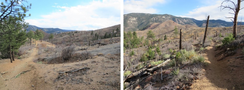
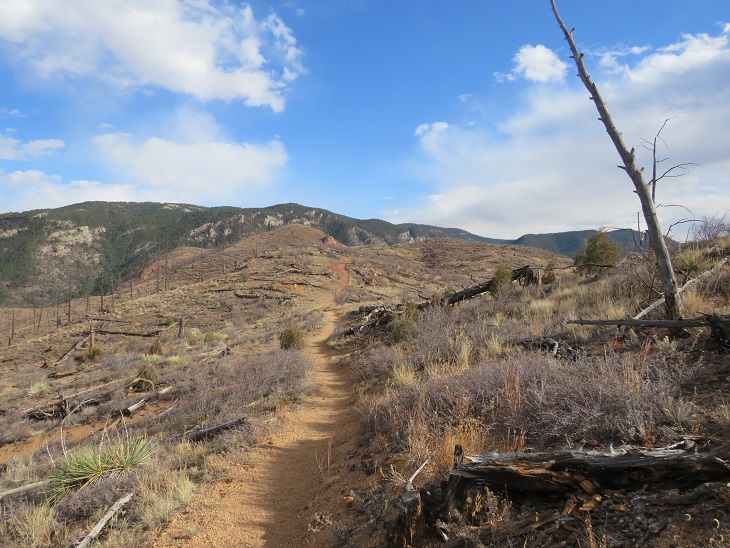
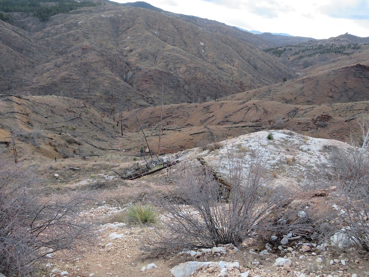
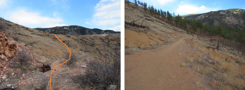
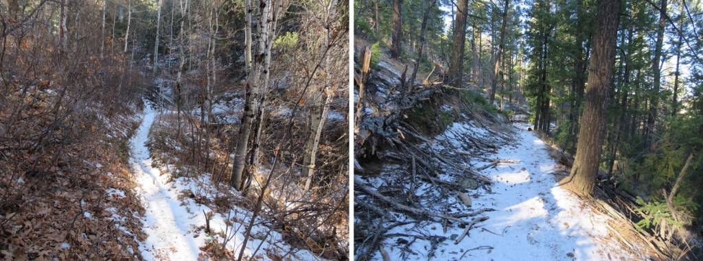
As dawn approached we came to a large burn area. This burn lasted over half of the hike. I hear this area is quite pretty in the spring and early summer, but today it looked desolate.
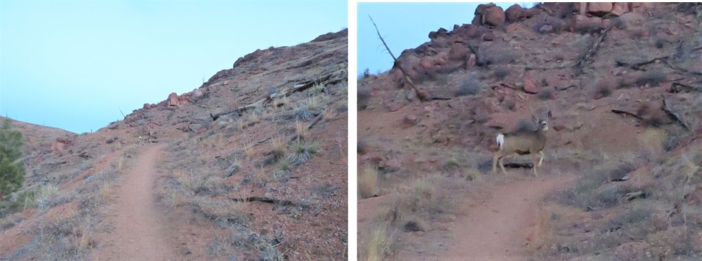
We started seeing tons of deer, and wondered if it were deer hunting season? We saw three sets, totaling of about 10-12 deer, but never heard a gunshot. Neither did we ever see the hunters (and they should have been visible due to the lack of foliage). The deer were no more than 10 yards away from us, and would have been easy to shoot if we’d been prepared.
As we hiked, I noted how different the mountains look with the trees gone. There were large, exposed boulders and drainages which would otherwise have been disguised by trees. It’s amazing how little has come back since the 1996 Buffalo Creek Fire.
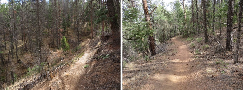
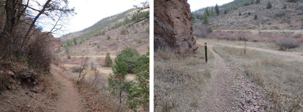
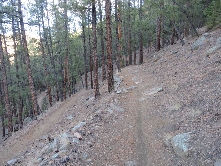
We continued following the well-defined trail west
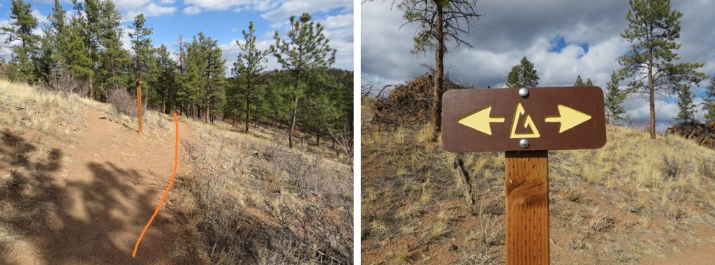
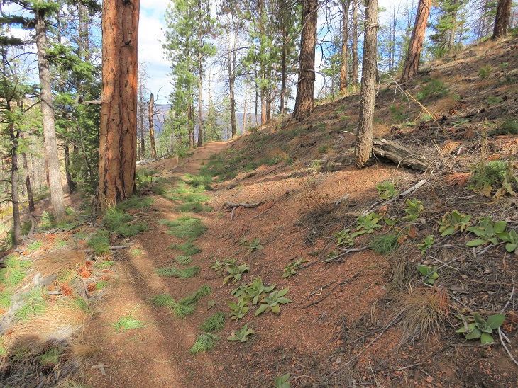
After hiking for 2 miles we were back in the trees. Side note: there were far fewer trail markers on this segment of the trail than on segment 1. I realize there’s been a fire and not many trees to post markers on, but in the treed area there were far fewer markers as well. And many of them diamond shape (instead of the triangle I’ve been so used to).
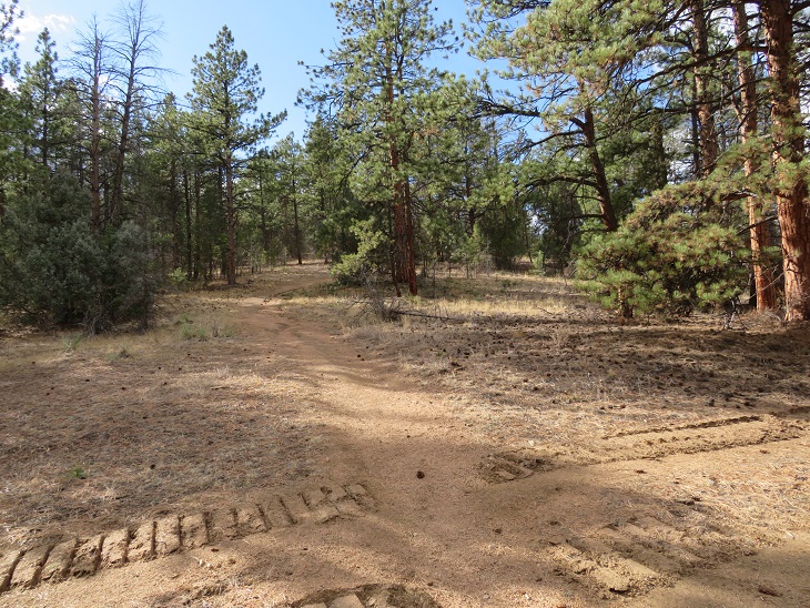
Shortly after making it back to the trees we crossed 4WD road 539, which looked like a forest service road.
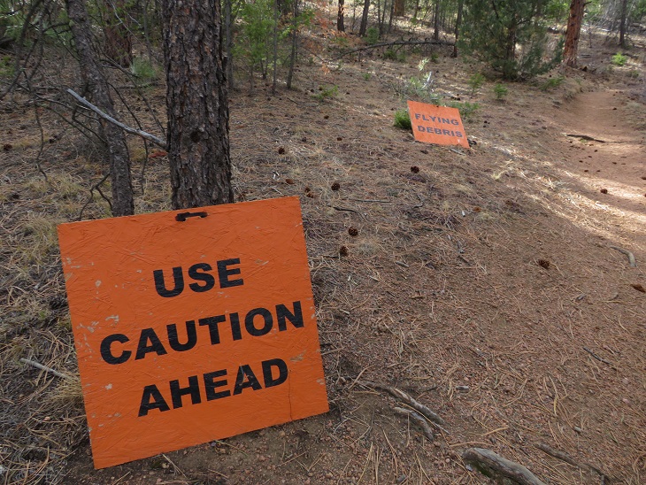
This would make sense, because next we came upon an area that’s experiencing logging operations. I’m assuming the area’s being mitigated due to the fire. Still, the signs were pretty cool. Since it was a Saturday, I figured the forest service had the day off and we wouldn’t be experiencing any ‘flying debris’ today.
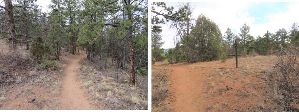
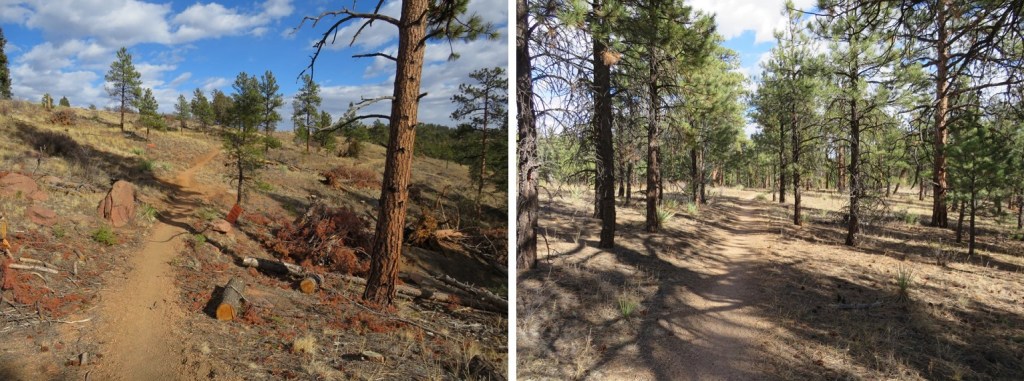
The trail continued through the trees, and past a really neat rock outcropping/camping area
After hiking for 6.25 miles we crossed another 4WD road (this one said it led to Raleigh Peak, and was a more well-defined road)
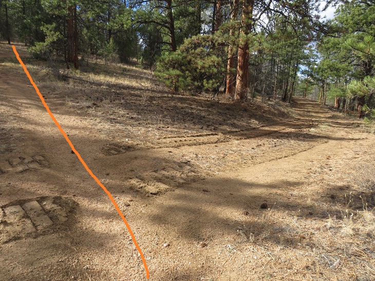
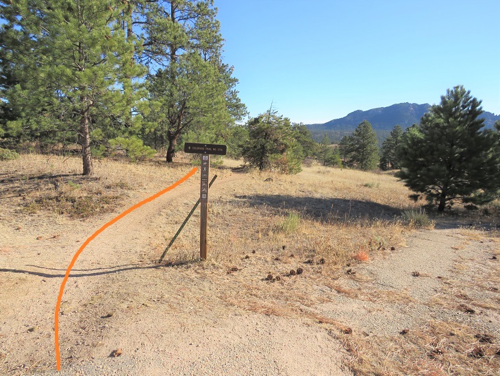
As we topped out at the highest elevation for this hike we came to a slight junction, keeping straight (west)
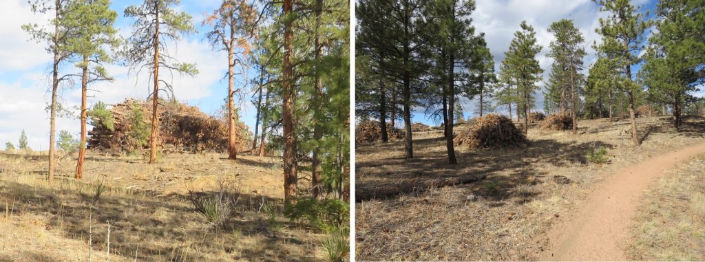
Then we came upon more tree mitigation. This was intense mitigation! There were dozens of piles, each no less than 20 feet high and 50 feet across, all of dead trees. It seems what the fire hadn’t decimated the forest service was now trying to cull in order to prevent another fire.
We soon exited the trees, and were in for another 3.5 miles of hiking through the Buffalo Creek Fire area. Here we encountered crows and ravens that seemed quite interested in us. They’d sit in a tree and watch us until we got close, then they’d fly off to a tree further in the distance and watch us as we hiked, flying off again when we got too close.
The final stretch of this segment took place again under the trees. At this point we could hear the road in the distance (126). Also, if you need emergency water, the fire station is circled in red. The only water we encountered on this trail was at the South Platte River Trailhead. After that, there was no water.
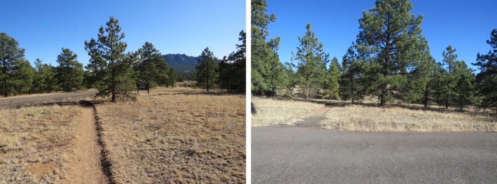
There is fencing all along the left side (east) of this trail, with many signs saying ‘no trespassing’. It seems they mean that here. The trail takes you to a road
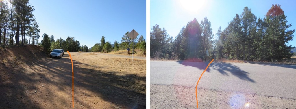
There seems to be a trailhead at this road. Indeed, you can park here. However, the segment was not yet over. We passed a few parked vehicles and continued along the Colorado Trail
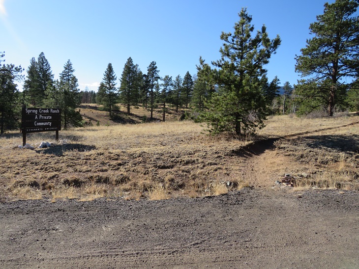
We passed a private community (Spring Creek Ranch)
Before making it to what we thought was the trailhead (our gpx file ended here). It looks like there’s a few spaces to park here, and the trail picks up on the other side of the road.
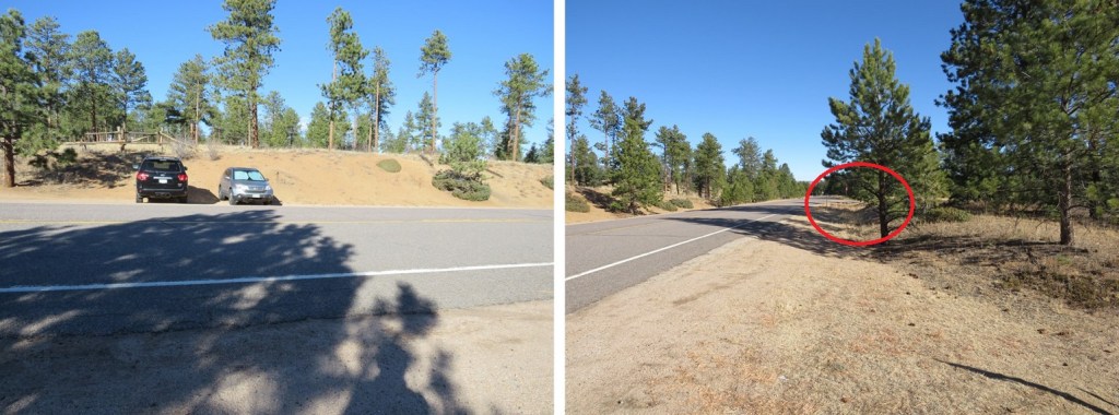
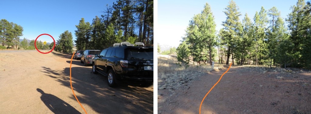
There is parking here as well, and you can also see the other parking area along the road (circled in red). This is where you want to park in winter, as the ‘true’ Little Scraggy Trailhead is located beyond the locked gate, about a mile away. This is where I parked when I started Segment 3.
In any event, this is where I’ll park when I start segment 3, just so I can claim I’ve hiked the entire trail.
It was here I took off some outer layers, and tried to put my phone in my pants pocket, only to find I’d worn my pants inside-out this entire hike1 I looked both ways, sat down, and fixed the problem (much to SkydiverHiker’s embarrassment).
SkydiverHiker and I took a picture at this point of the trail. We made it here at 10am, after 10.79 miles of hiking (roughly 4 hours).
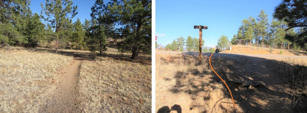
We didn’t stay long, because we were only halfway done with our hike. If parking here, this is the way we took back to South Platte River Trailhead, first starting with the entry point off road 126
This led us back past Spring Creek Ranch. Here we wet a man on horseback, riding a very fine looking paint. This might be a horse community.
Then back past the first parking area we’d encountered
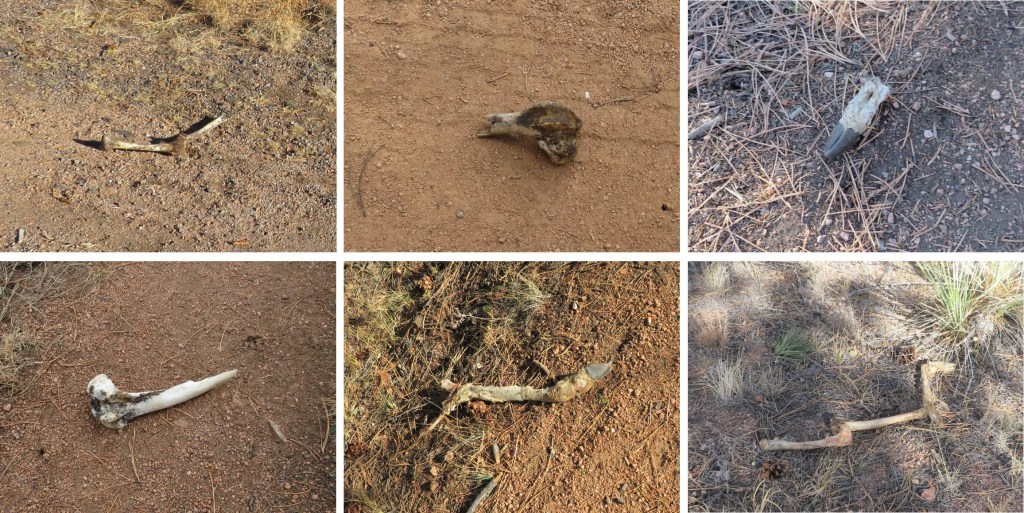
I’m going to note this here just because it’s one of the many places we saw bones while on this hike. There were several bone fragments of animals we found along the trail (some of the bones were not there on the way in, but were there on our way out). They seemed to be from multiple animals, but all deer and elk.
OK, back to the trail description. We passed the parked cars and continued on the trail. Note the sign for the fire station ahead, should you need assistance/water.
Then it was back into fire territory
Here’s an overview of the hike back to the trees
There were some especially pretty mountain mahogany plants along the way, their feathered seeds backlit by the sunlight.
Once back in the trees we passed the burn piles, or piles of trees. I’m not sure what they intend to do with these large piles, but it seems a waste to leave them there/burn them.
More evidence of ‘flying debris’/ tree trimming (this area is different than the one pictured on the way in)
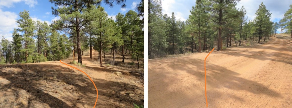
At the highpoint, once again stay east (right this time) to stay on the Colorado Trail 177
Crossing the well-maintained dirt road
I came to an area where the trail was littered with clumps of pine needles. Looks like the squirrels have been busy!
We continued following the trail. Suddenly, I started seeing snow. Or were those spots? I get a bit scared when this happens (when I see spots it means my blood pressure is low). It was sunny out, so I wasn’t sure how I could be seeing snow. I mentioned this to SkydiverHiker and we stopped for a bit. I had indeed seen snow, as it was lightly falling all around us (despite the lack of clouds and abundance of sun). It didn’t last long though, and the flakes were few and far between.
There are a lot of campsites all along this route.
We crossed the service road again (this road doesn’t look like it gets much use)
And followed the trail through scrub oak and mountain mahogany.
Along the way we got in a good view of the route down (or up) from section 1 at South Platte River.
And now back to the burn area. Here is where we started seeing people. We passed a few groups of people here, and a couple of really cute puppies! It was also very windy and cold these last few miles.
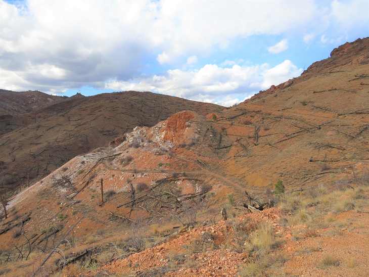
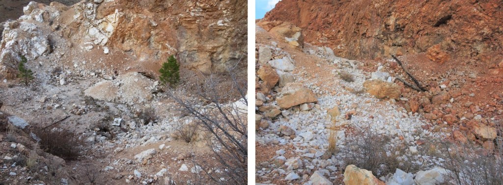
On the way back we had a clear view of what was actually the quartz quarry. There are rocks in this entire area.
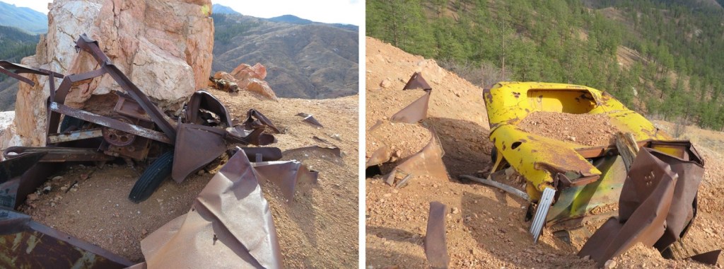
We first went to what looked to be an old parking area (or maybe there was a structure here, but there was no foundation to suggest so). It kind of looked like it had caved in. There were old vehicles and pieces of equipment here.
To the west was the actual quarry. We hiked over to inspect, and it was a little underwhelming.
Basically, just a hole in the ground with rocks. No rails or carts or wires, cables, etc. Just rocks.
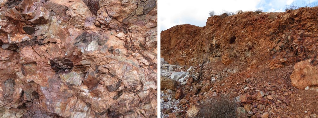
But they were cool rocks! I was surprised at how white the quartz rocks were.
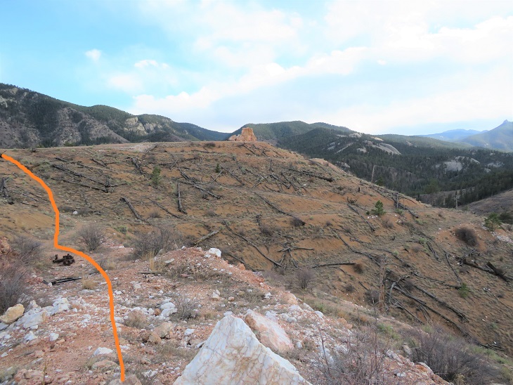
Here’s how we exited the quarry and made it back to the trail. This was a quick and fun side attraction.
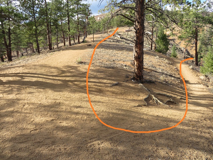
SkydiverHiker fixing the trail. We accidentally hiked the wrong way here for a bit because the junction isn’t obvious (especially in the dark). There isn’t a sign here, but I think going to the south takes you to Eagle Rock.
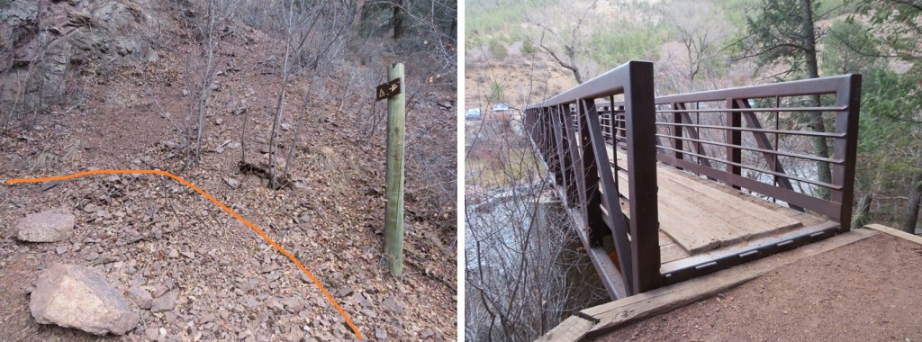
Then it was switchbacks down to the river. We took this part slow, as we may have had extra baggage at this point.
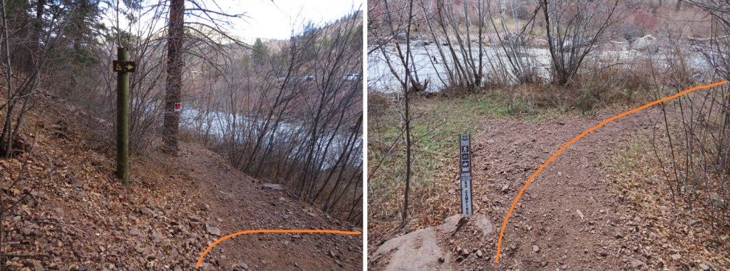
Back down at the river there were no camping signs. This is a bummer, since I’m sure a lot of hikers want to hike here after filtering water. No worries though, if you’re headed NOBO there are great camping spots just after the trail starts to section 1.
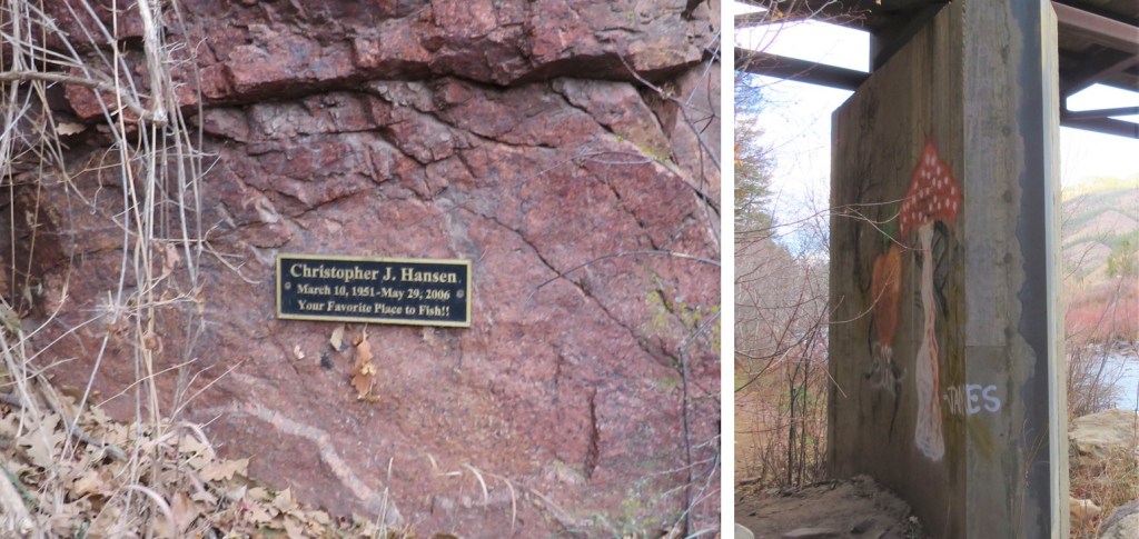
We also saw a memorial sign on the bridge (a dead fish in the water), and some graffiti.
I hiked under the bridge, circled around and took the bridge back to the parking lot. SkydiverHiker took a shortcut, but to be fair, his pack weighed about 100lbs.
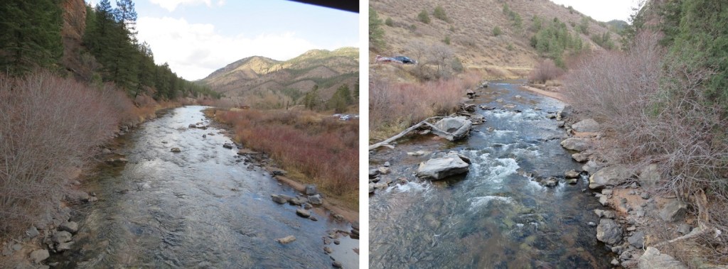
Here’s a view of the South Platte River from the bridge
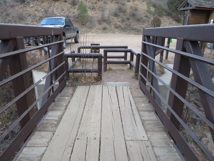
They’re really serious about no motorized vehicles (etc.) on the bridge. I’m not sure you could get a horse through this either. In any event, I’m glad they’re keeping motorized vehicles off the trails.
We made it back to the trailhead at 2pm, making this a 22.15 mile hike with 3069’ of elevation gain in 8 hours. (Side note: feel free to contact me if you’d like a copy of the GPX file for this route).
Final thoughts: this was a long hike to hike with someone. I usually hike alone, and have no problem filling that time with the thoughts in my head. It’s different when you have a partner. You need to work out things like pacing (I was actually slower today, but I blame that on the hike I did the day before), when to take breaks (I never do, but I realize that’s unusual. I don’t see them as necessary), and conversation becomes difficult (I learned to turn my head around and speak directly to him when I had something to say, otherwise I’d get a “what?” and need to repeat myself).
This was my third attempt at Emma Burr Mountain. The first two times I turned back due to wind, but today the forecast kept wind speeds around 15mph, so I tried again. I was in this area last week, and the approach conditions are still the same, so I’m just copying and pasting for efficiency purposes.
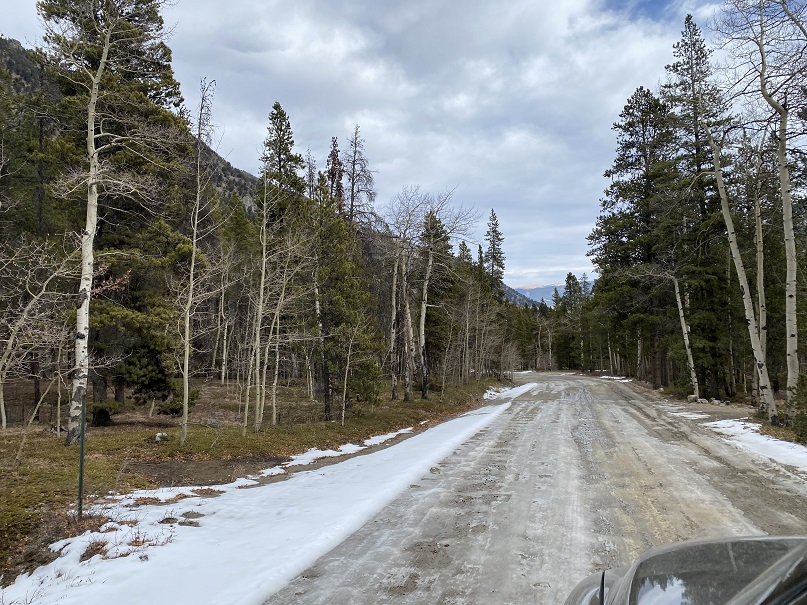
The drive in to St Elmo was icy but doable in a 2wd
I was on the trail at 4:00am. The trail starts out following Trail/Road 267 west
This road goes all the way to Tincup Pass, and by the looks of it, a 4WD vehicle had driven the entire way recently. High five to this individual, as they have some serious chutzpah. I was glad I’d parked below however, as I wasn’t sure how my truck would have done on the ice.
This trail parallels North Fork Chalk Creek.
I followed the road for 5.15 miles, staying right here to stay on the road. As I hiked, I saw quite a few moose tracks. It looked like a mama and baby were in the area, so I was on the lookout. I saw tire tracks, but no human footprints.
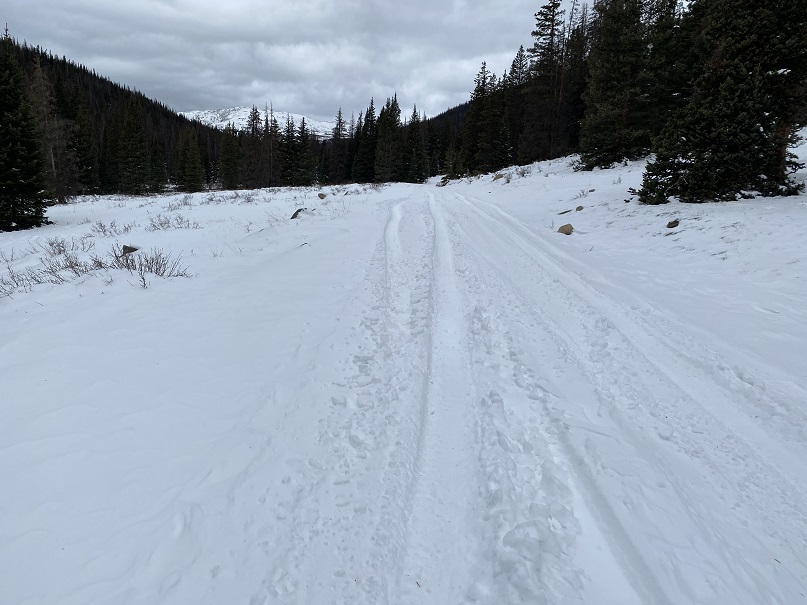
After hiking for just over 5 miles I made it to the upper basin. Just as with last week, here the tire tracks stopped. I donned my snowshoes and made my way northwest to Tincup Pass. I also noticed the snowshoe tracks I’d made last week were gone, and unfortunately, no moose sightings this time.
Once at the pass I got the picture I’d wanted but forewent last week due to the weather. My son and his Boy Scout Troop always had an annual campout here, with a corresponding picture with this sign. He’ll get a kick out of seeing the snow in this picture. The sun was starting to rise.
Here I took off my snowshoes and turned around, heading east up the side of the mountain
This was a much easier hike than I remembered from the last time I was here. I was pleasantly surprised the wind wasn’t more intense. Microspikes were overkill here, but once I put them on I rarely take them off because doing so would require me to take off my gloves, and I can’t recover from that type of cold, especially if there’s wind. There was a faint trail here that eventually disappeared.
Before gaining the ridge I kept to the left, traveling northeast.
Here’s a look back at Tincup Pass
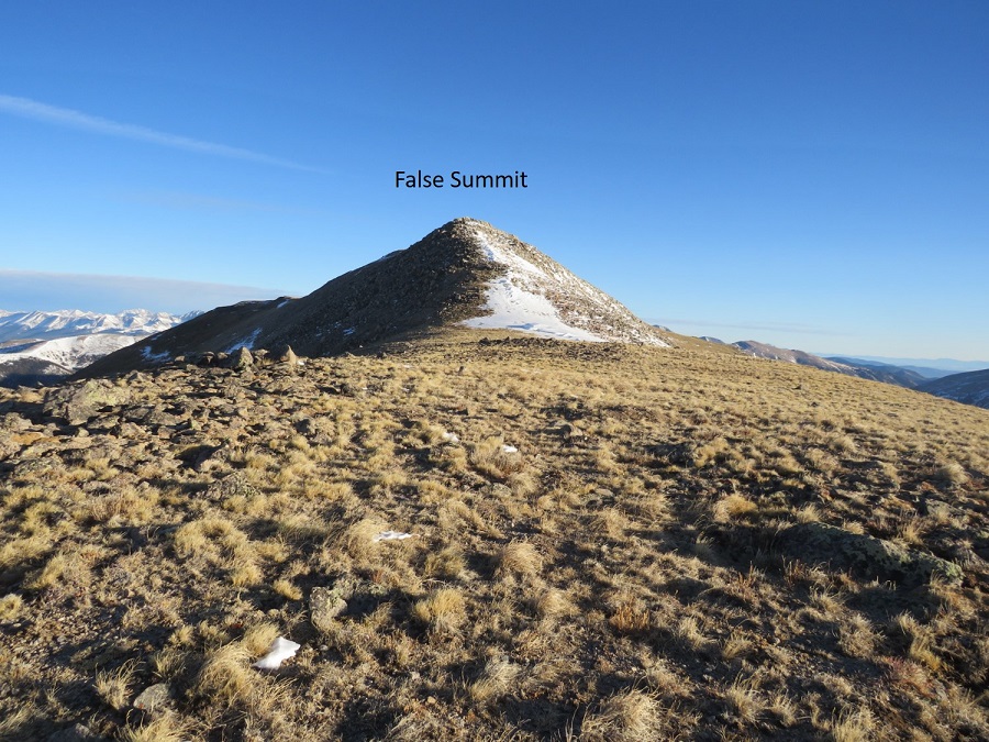
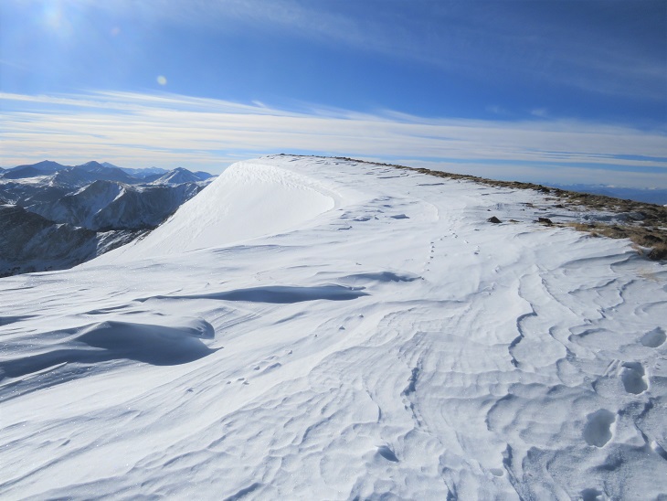
Once on the ridge I followed it to the summit. This is also where the wind picked up. I put on my balaclava and followed the ridge. The ridge is long, and there’s a false summit here.
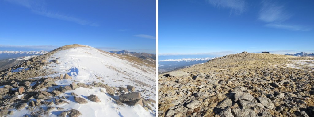
Once at the top of the false summit the true summit was clear.
I made it to the summit of Tincup Peak at 8:21am.
Tincup Peak:
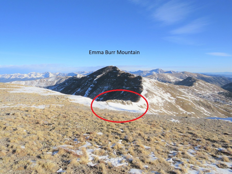
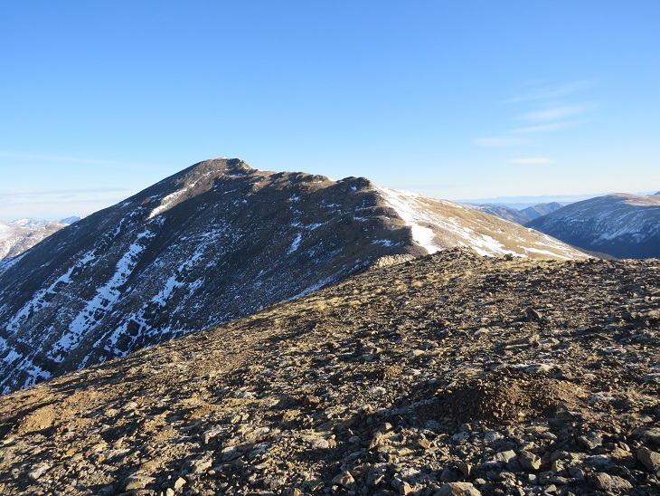
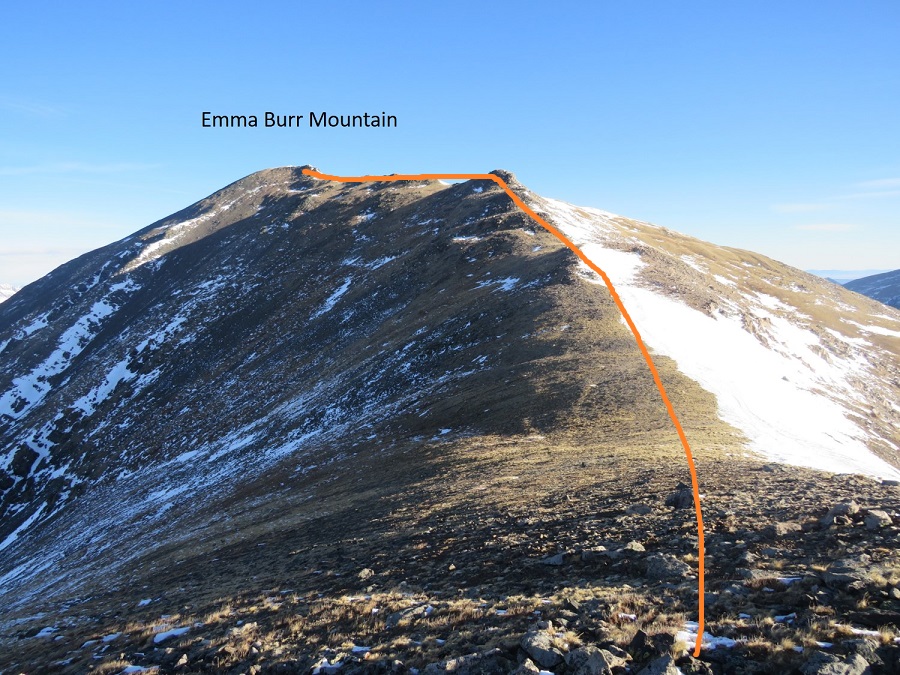
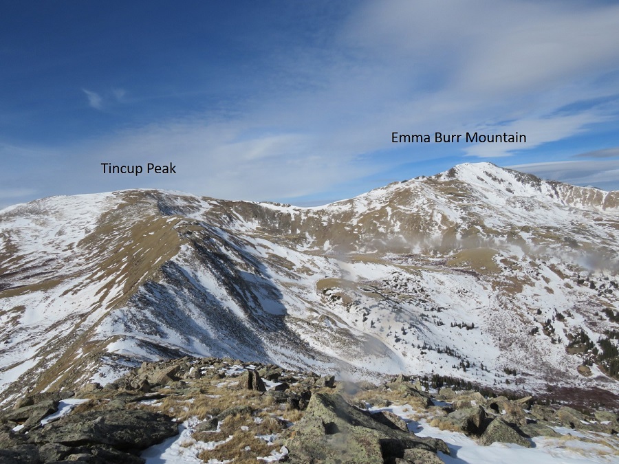
I’d already summited Tincup Peak previously: My real goal today was Emma Burr Mountain, which can be seen to the north.
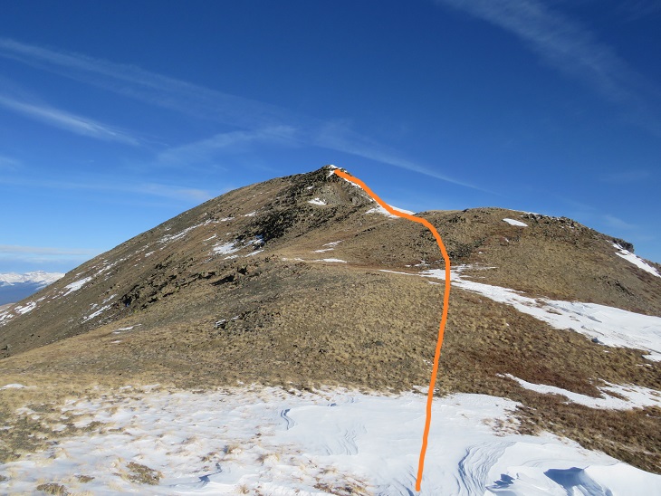
The trek over to Emma Burr looked more difficult than it was. I was especially worried when I saw this part of the ridge
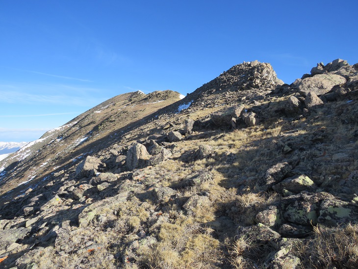
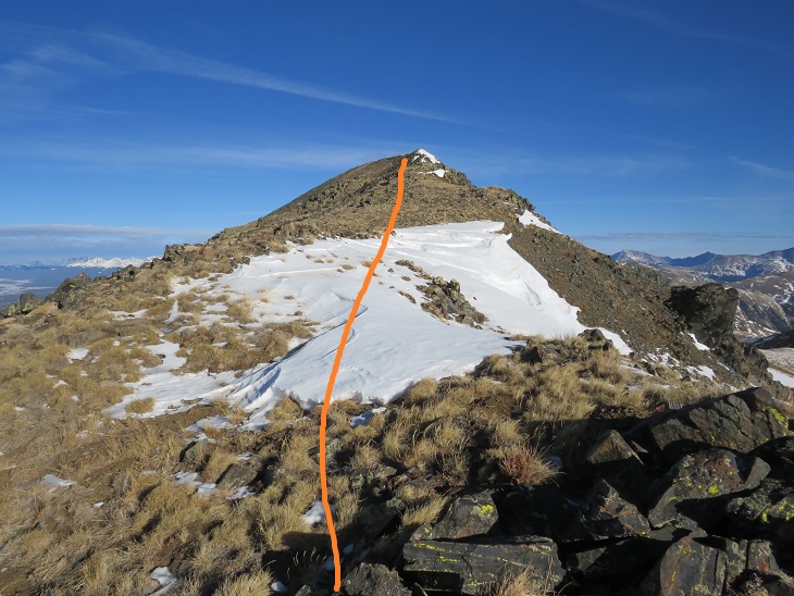
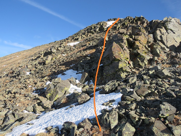
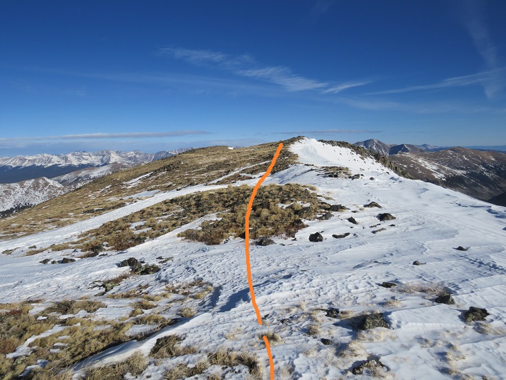
As it turns out, I was worrying about nothing, as there isn’t a dropoff on the left side of the ridge. This was a class 2 hike all the way to the summit. I stayed directly on the ridge.
Here are some step by step visuals of the ridge to Emma Burr. You can stay low here or go high. Both are class 2
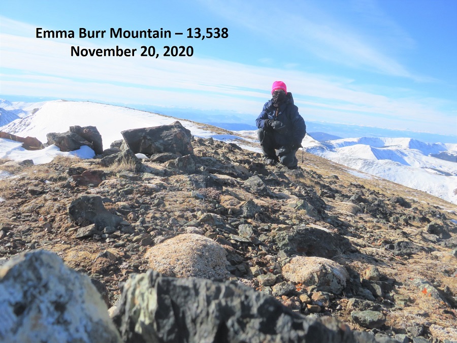
I summited Emma Burr Mountain at 9:22am
Emma Burr Mountain:
It was quite windy, so I didn’t stay on the summit long. Instead, I turned and headed back the way I’d come, towards Tincup Peak. Heading south now I had a great view of a cornice forming on Emma Burr
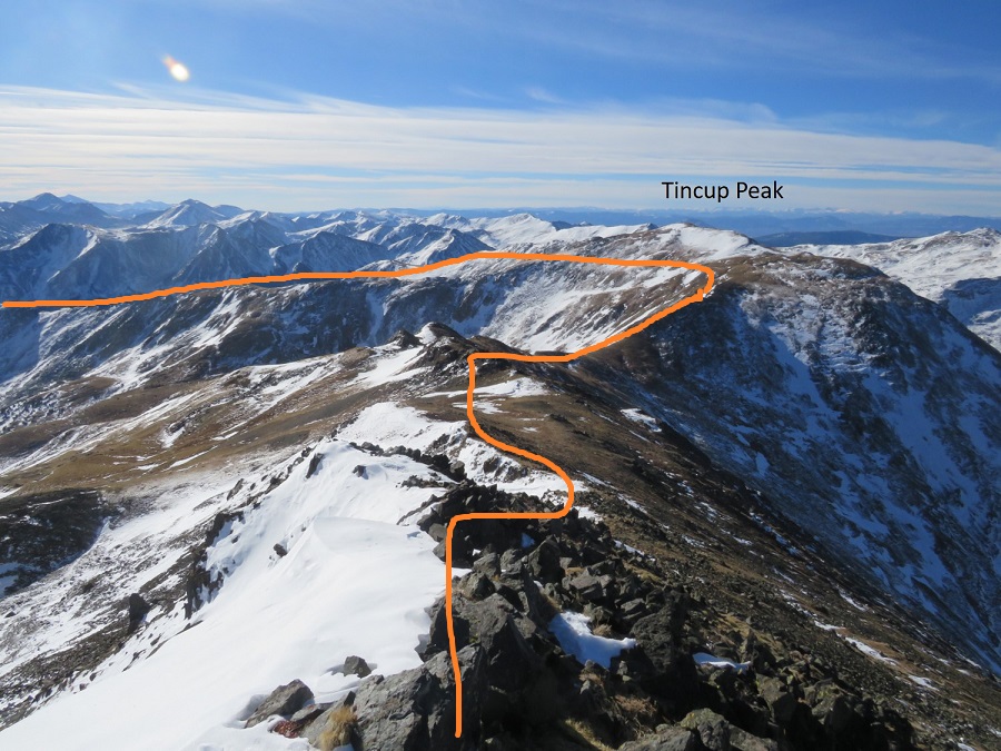
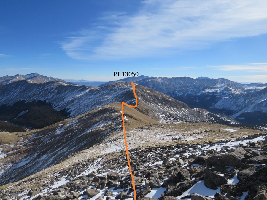
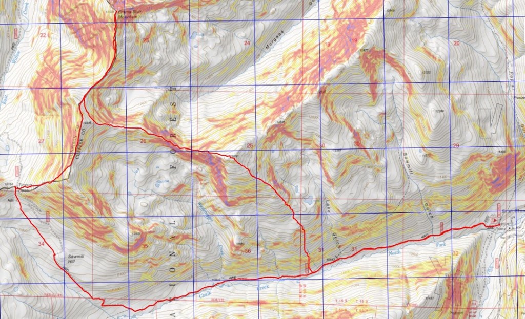
The day was still young and the forecasted snow hadn’t materialized, so I decided to make this a loop and head over to PT 13050. Here’s an overall view of my route to the ridge. I didn’t re-summit Tincup, but instead stayed just below snowline
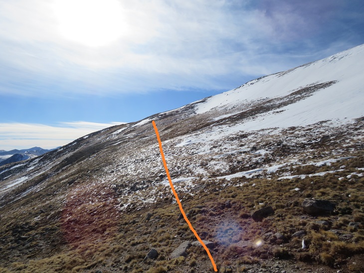
I traversed Tincup’s east slope to the ridge. Here the wind stopped and it was getting warm, so I was able to take my balaclava off.
Once on the ridge I followed it east.
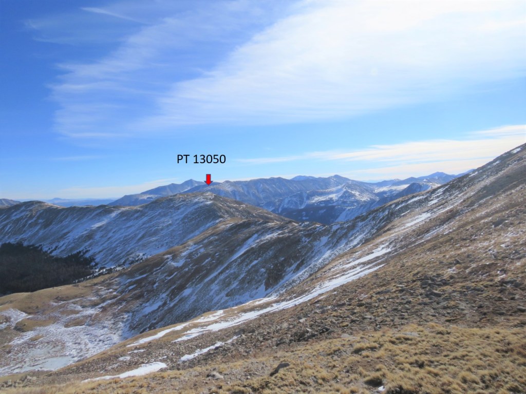
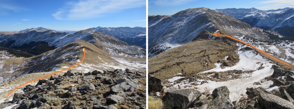
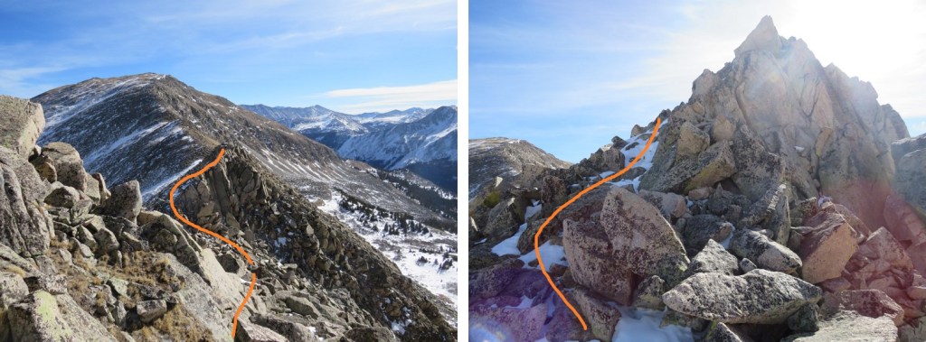
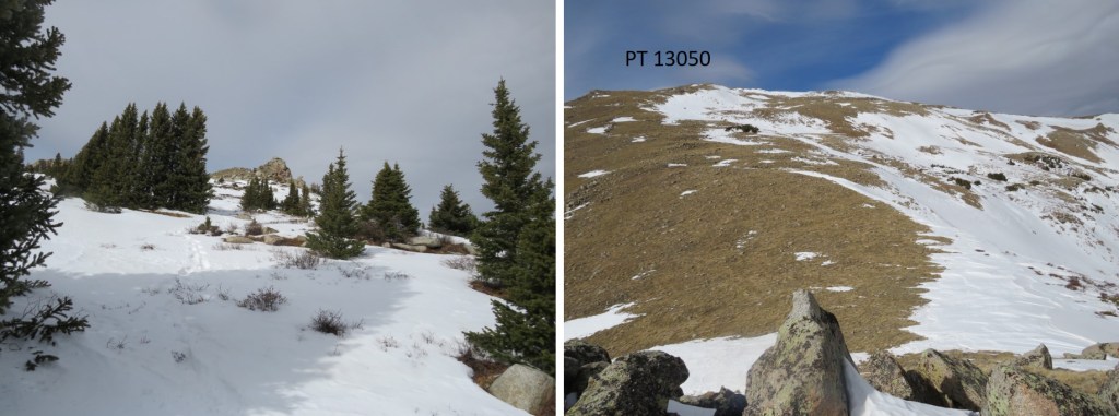
There were times I was worried I’d cliff out (I didn’t have much beta on this peak), but if you stay to the right this stays a class 2 hike. I lost 660’ of elevation as I hiked east towards the Tincup/13050 saddle. There’s a gaping hole on the ridge here (I skirted it to the right)
The trickiest part of this ridge comes just before the saddle/lowest point. This is the only area I went left instead of right.
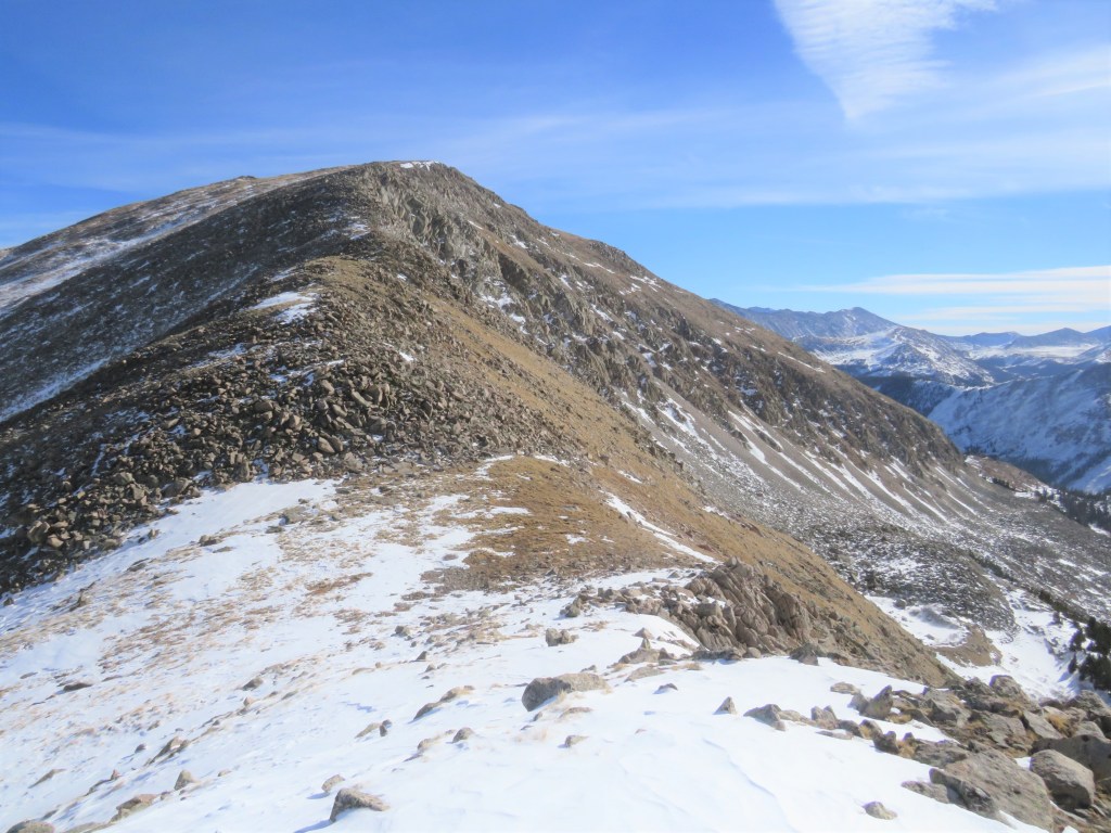
From the saddle it was an easy ridge hike to the summit. I gained about 500’ here
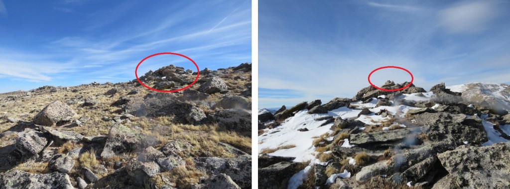
I knew I was at the summit when I found this cairn (it’s difficult to tell where the exact summit is for this peak, so I went with the cairn, but walked all over the summit).
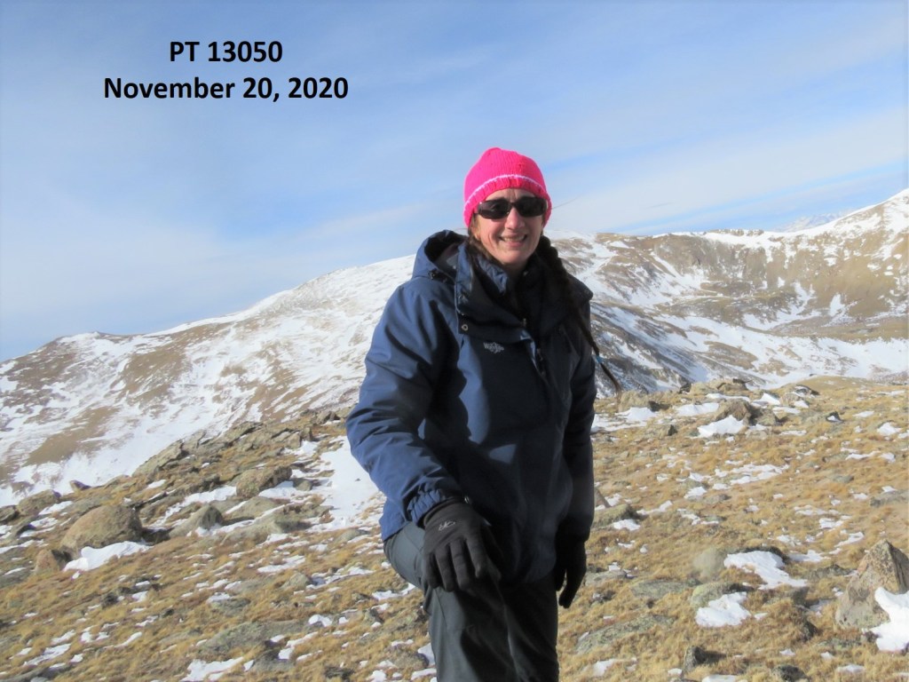
I summited PT 13050 at 11:40am
PT 13050:
Here’s a look back on the route from Tincup Peak/Emma Burr Mountain
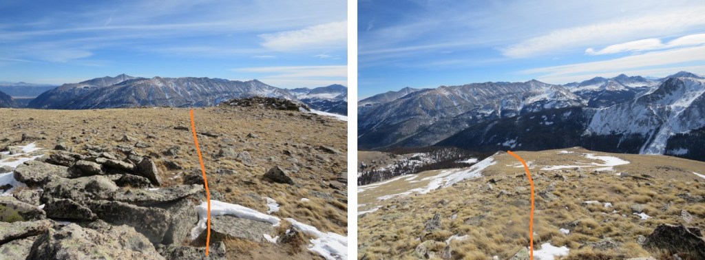
I was making this a loop, eventually making my way back to the 4WD road I’d hiked in on. So, I continued heading east
I followed the mountainside east, went right around this rock outcropping, and then headed for the trees
Here’s looking back
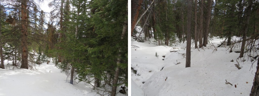
At this point I put on my snowshoes and aimed southeast, heading towards the 4WD road. Once in the trees I found a drainage and followed that down. This would not be fun to do in reverse.
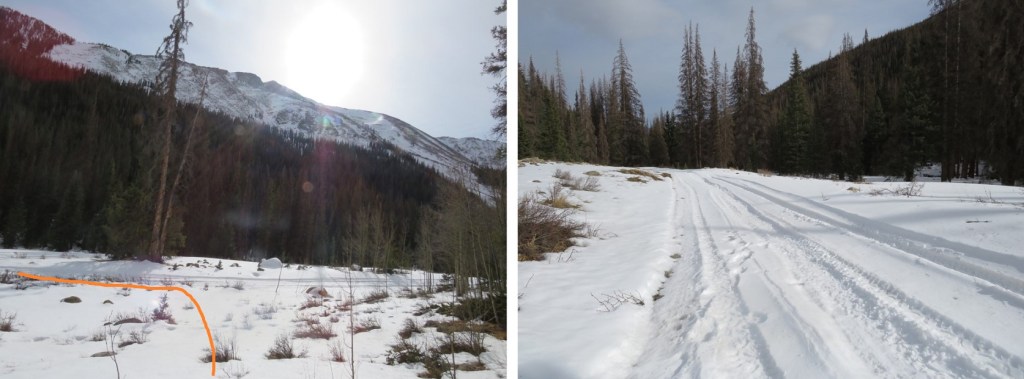
The snow lessened just before making it to the road. If you were to do this hike in reverse, the spot I exited was just over 2 miles from where I’d parked.
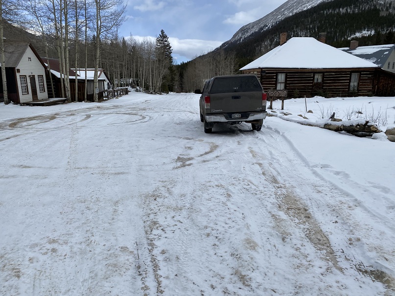
Once o the road, I followed it back to my truck, parked on the west side of St Elmo.
I made it back to my truck at 1:40pm, making this a 15.94 mile hike with 4888’ in elevation gain in 9 hours, 30 minutes. As a side note, I saw a ‘no parking’ sign on this side of the road this time (it must have been covered in snow last week), so I’d advice you to park before entering St Elmo and hike through town to start this hike.
Waterton Canyon -> South Platte River -> Waterton Canyon
November 15, 2020
RT Length: 34.18 miles
Elevation Gain: 4308’
High Point: 7517’ Low Point: 5522’
Time: 11 hours, 20 minutes
The Colorado Trail has been calling my name for some time now, so I put it on my list of goals for 2020. When I put down a goal in writing, there’s a 99% chance I’ll hit it. I try to make my goals a bit of a stretch, varying, but still doable, which keeps things fun. This was my last goal to achieve this year, and I honestly didn’t think I was going to make this one. But, a very windy forecast across the state above treeline gave me the opportunity to hike segment 1 of the Colorado Trail (or is it “The Colorado Trail”? Since I’m from California, not putting “the” in front of a trail, road, highway, etc. feels weird, but this is most likely also technically wrong. Please indulge me).
I know I’ll never get enough time off to hike the trail as a thru hike, so I’m going to need to segment hike when possible. The cool thing about this is if I park at a trailhead, hike the segment, and then hike back, I’ll essentially be hiking both SOBO and NOBO. Pretty cool! (Does that mean I get to say I’ve hiked it twice?) At this point I’m thinking I’ll still start out SOBO and try to do the segments in order.
I arrived at the Waterton Canyon trailhead to find the lot empty. This wasn’t strange, as it was 2am, but it did tell me I wasn’t likely to see anyone as I was hiking this morning. The trailhead is positioned close to many large cities, and I was a bit worried my truck would be broken into, since it was the only vehicle in a lot that doesn’t get much ‘midnight traffic’ My only solace: I have a topper and a potential thief wouldn’t know if I was sleeping inside (or not) or if I was armed or not (I always am). It was much colder than I’d anticipated: 18 degrees at the trailhead instead of the forecasted 35 degrees. I knew it was supposed to get up to 60 degrees today, so I forwent the ski pants and instead put on my heavy-duty winter gloves. I said a prayer to the wind gods, asking them to play nice.
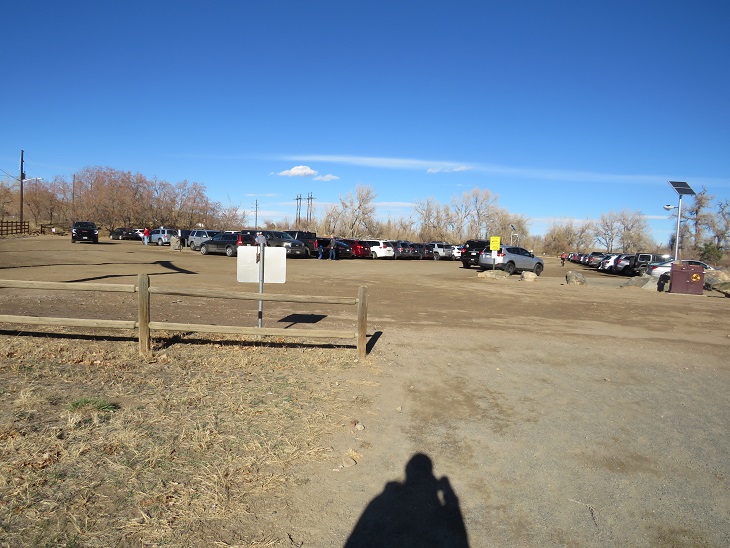
I was on the trail at 2:21am. Because it was still dark, most of the pictures I’ll be posting from the hike in were actually taken later in the day, on my hike out. Here’s a look at the parking lot. It was big enough to hold about 100 vehicles, and was past capacity when I got back.
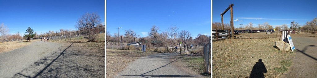
The trail starts at the west end of the parking area. I had to first cross the street. This was easy at this time in the morning, but the button I pushed that enacted the flashing lights on my return to stop traffic were uber useful.
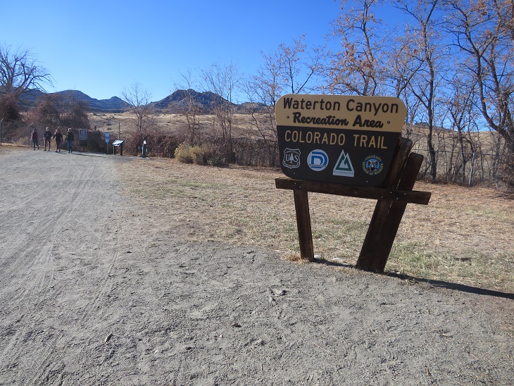
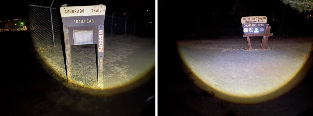
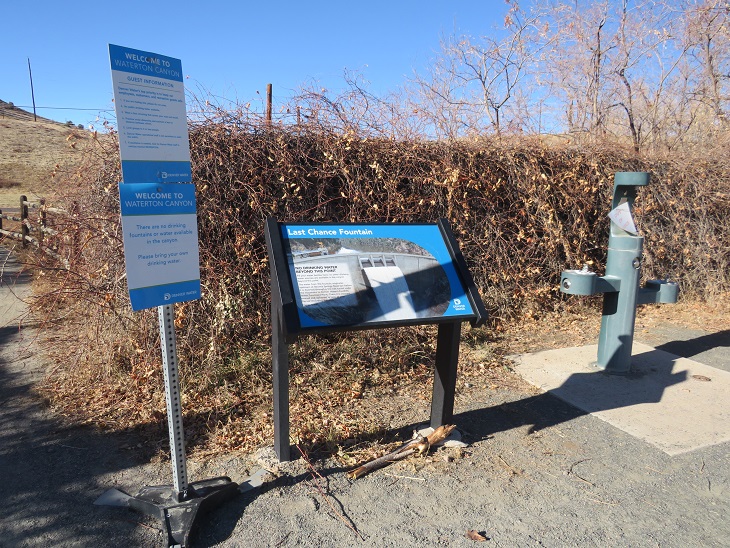
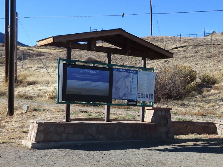
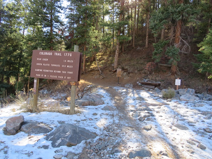
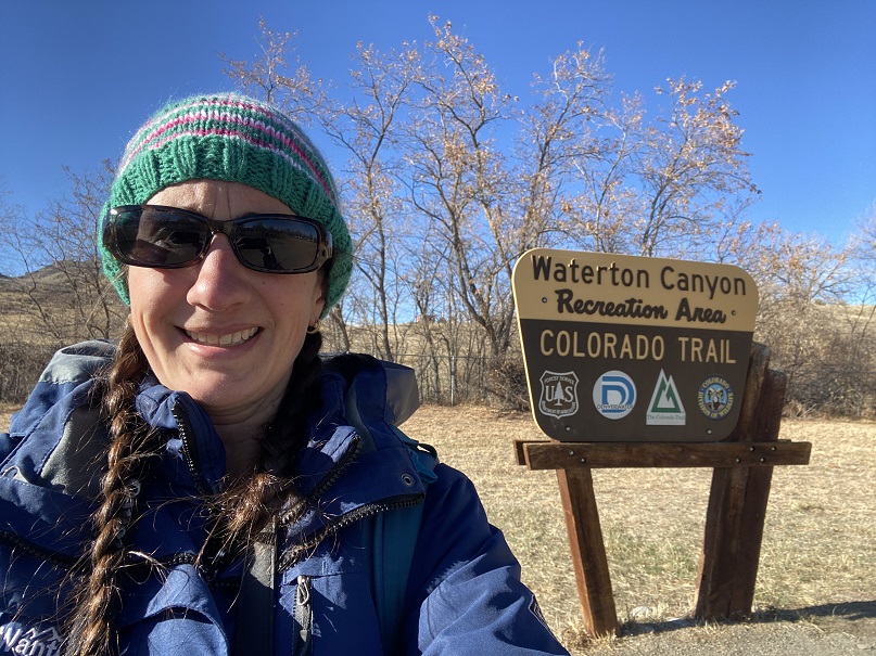
I saw signs indicating I was at the right place!
There was a ‘last chance water station’ that was unfortunately closed (most likely due to COVID). Side note: I didn’t drink a single sip of water on this entire hike, yet I brought along a full water bottle and filtration system. If you’re doing this as a day hike and are an experienced hiker, extra water isn’t a necessity. However: know yourself and your water intake. And prepare adequately. There is obviously water along the first 6 miles of this hike, and also at the end, so filtration is possible, and easily accessible.
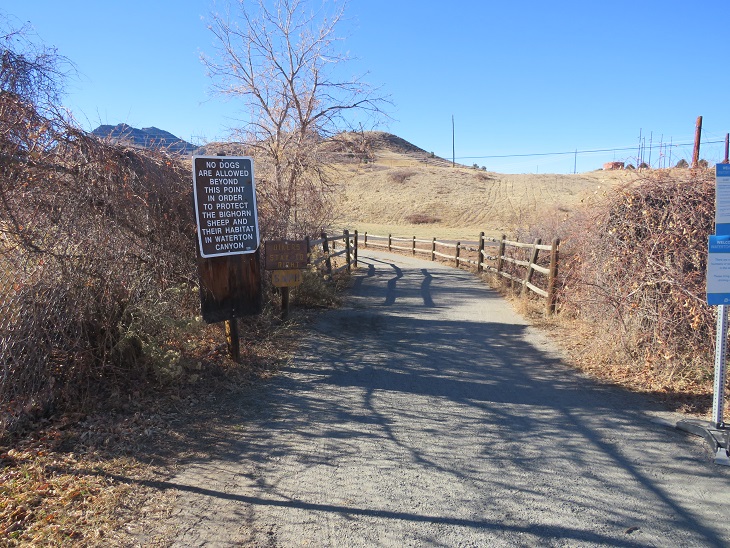
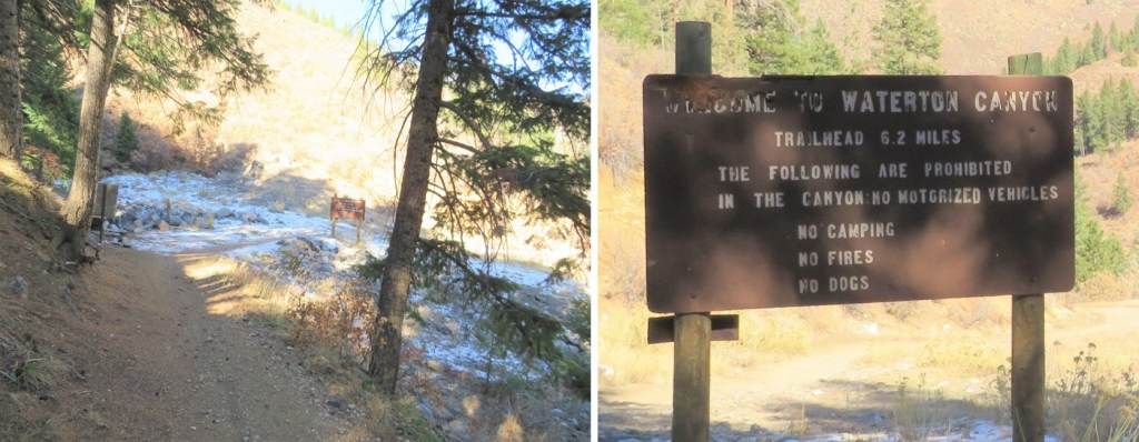
From the beginning there were signs indicating dogs weren’t allowed due to the Bighorn Sheep. I hoped this meant I’d been seeing some wildlife today. I also believe this is the only 6 mile segment of the trail dogs aren’t allowed, so if you want to bring along your canine, it might be prudent to start at the South Platte River Trailhead with your pup (well, start at the Waterton Canyon trailhead ad have a good friend bring you your pup the next day, because if you have a canine companion it’d be worth it).
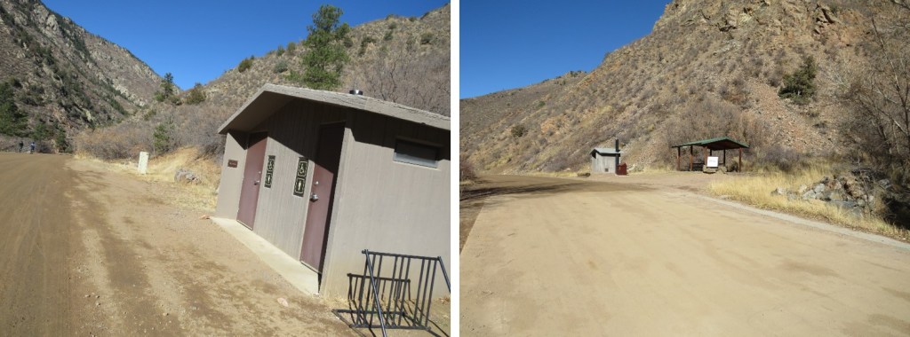
I passed some bathrooms (vault toilets) and smore signage. I just continued following the road west. It was dark out, but at times I could actually smell the bighorn sheep. I knew they frequented this area, and at this point they must have been close. It’s funny how your sense of smell can guide you at times. Side note: in the 6 miles to the Stronia Dam there are 3 bathroom stops. I felt this was quite excessive until I hiked back and saw hundreds of other hikers along the trail.
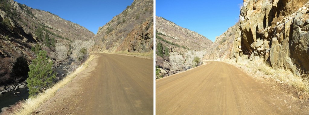
The road here is wide and there isn’t much elevation gain for the first 6 miles. There are mile markers every half mile or so, which are helpful. Interestingly, the mile markers switch sides of the road halfway through, so in the dark I ended up missing a couple, only to find I’d hiked further than I’d thought. In the daylight this made sense, as they followed the contour of the mountains. On the positive side, the miles were just flying by! This was good, because it was quite cold and I was willing the sun to rise. My fingers were frozen and I kept pumping them back in forth inside my gloves. Also, seriously, my fingers were frozen. I actually gave the thought to going back, but the knowledge it was supposed to be a warm day kept me continuing on.
The road follows the South Platte River, with several bathrooms along the way (no less than 3)
After hiking for 6 miles I came to the last bathroom area, and, in the dark, saw lights illuminating the Stronia Springs Dam on the right (there will be a better picture of this dam later)
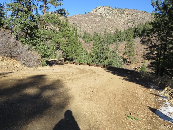
I continued following the road for another half mile or so as the road began to narrow.
It was a bit icy out, even on the way back, but nothing that required spikes or even more than common sense to navigate.
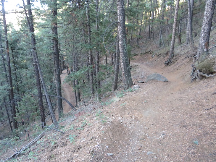
The trail is very well marked and easy to follow. I thought it was cool Colorado Trail is Trail 1776.
After hiking for 6.7 miles on a flat road, the real trail began. And so did the wind. I don’t want to make a big deal of this, mostly because the wind across the state this weekend was intense, but the wind didn’t stop for this entire hike. It was insistent, but always above treeline, which made it manageable. Yes, it had been a good idea to take this hike, as anything above treeline would have been intolerable. I’ll stop mentioning the incessant wind here.
I was surprised it was still dark outside. It had been my goal to get to this point before daylight, but daylight was still a long ways off. Woot! I didn’t check my phone to see the time (too cold for that) but the sky wasn’t even beginning to lighten. This was good news. Since I usually do intense elevation hikes I had no idea how long this hike would take me, but it seemed I was making better time than I’d anticipated.
From this point it was 10 miles to South Platte River Trailhead. The trail continues gaining elevation for 1.2 miles, switchbacking south, gaining about 725’ of elevation.
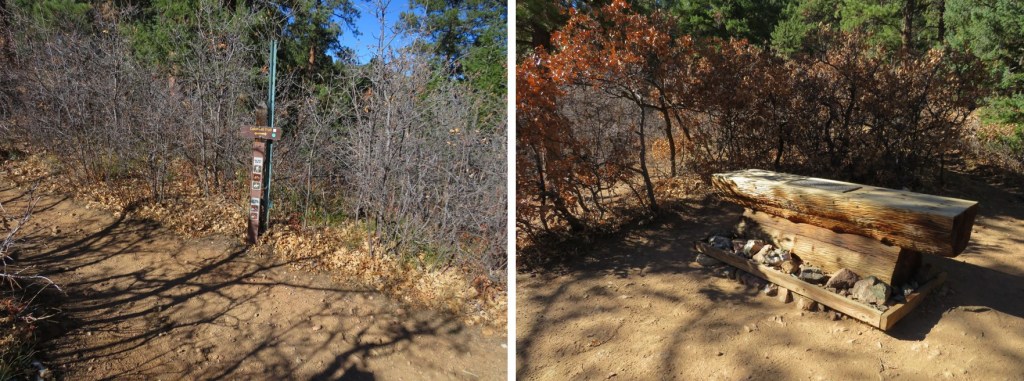
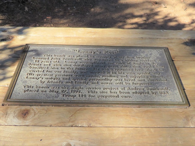
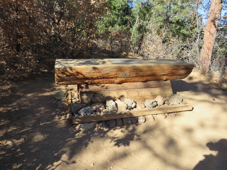
At the end of the 1.2 miles is a sign indicating the Colorado Trail, and a bench entitled ‘Lenny’s Rest’.
You should take time to read the plaque while there. My son is an Eagle Scout, and I’m an avid hiker, so I took time to appreciate this monument. I’m not providing a clear indication of the wording because I believe it’s best experienced in person. Rest here.
From Lenny’s Rest I was disappointed to find the trail started losing elevation. I lost a total of 350’ as I hiked down. Maybe I should have done more research? The hike started in chaparral and ended in pine. This seemed something of a paradox, but also fitting to the area. There are pinon pines, junipers, scrub oak, and ponderosa pines in this area.
You’ll know when you’re at the lowest part when you cross this drain. Maps show this point as crossing Bear Creek. This was more of a jump across a drainage than a creek, but it was late in the year so water was low.
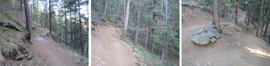
Then, it was all uphill for the next 4.2 miles, as I gained 1332’, switchbacking again. There are a lot of switchbacks on this segment. Switchbacks are a blessing and a curse, depending on where you are in your hike. If I’ to do this entire hike in segments, they will most likely be a curse, as I’d prefer elevation gain, but if I were a thru hiker, I’d appreciate the ease in elevation.
Some of the signage needs work. I’m not sure what the wooden plaque says?
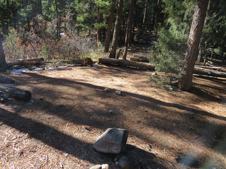
There are a lot of good campsites in this area. I’m guessing that’s because it’s a nice ‘last night’ for Colorado Trail thru hikers before finishing up the next day (that, and camping isn’t allowed along the road). If this is the end of your NOBO journey, this is a great last place to camp. Also, high-five and congratulations!
The highpoint of this hike came below treeline, where these metal signs are present. From here, it was (mostly) all downhill.
The sun hadn’t yet risen, and I was getting excited about my time, mentally calculating how much longer I had to reach the South Platte River Trailhead and the distance to my halfway point for today. As I hiked, I contemplated the different trail signs, which ranged from actual signs (wooden or metal) to the Colorado Trail Marker and blazes on the trees, both etched and painted. It seemed a shame the trees had been blazed, but this also makes sense, as the paint eventually goes away and people steal the markers (or the trees eat them).
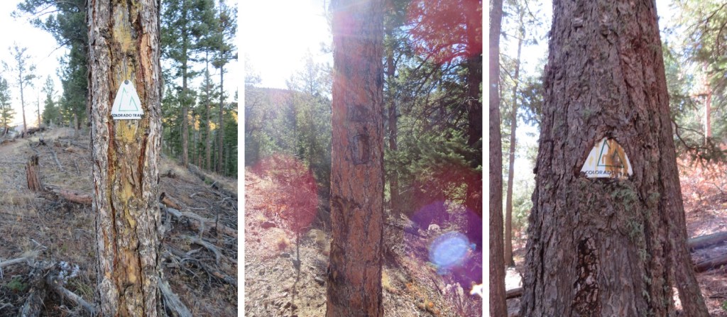
Sometimes the markers are placed over the blazes. There were quite a few markers (it’s difficult to get lost on this trail). I spent a lot of time contemplating most of this. Also, if you’re hiking the Colorado trail and want a marker as a memento, you can buy one here for $5 and not have to carry it with you, and you don’t need to feel the need to take one from the trail (don’t take one from the trail. Don’t).
The trail continued to wind around the mountain
There was a considerable number of downed trees in this area, and also tree cutting boundary signs. (Another side note: a forest fire has decimated the corresponding segment, most likely spreading quickly due to dead/downed trees. This area needs to be cleared, or is most likely next to go up in flames).
I hiked around a spot that looked like it’d be a fun rappel point (for new learners)
And kept hiking, losing elevation as I went
In total, I’d lose 1375’ before making it to South Platte River trailhead. There was a small plateau with a great view of the South Platte River trailhead. I hit this point at sunrise, with the sun was rising behind me.
From here I swtichbacked what seemed like another 50 or so times before making it to the bottom. The good news: the sun was starting to rise and I had a great visual of the trail.
I made it to my half-way point, South Platte River Trailhead, at 8am. There were some other vehicles in the lot, with hikers putting on gear, getting ready for their morning hike. I was quick, took a few pictures to prove I’d made it, turned around and headed back. It had taken me 5 hours, 40 minutes to make it the 16.7 miles. I considered this a good time.
There is a vault toilet at this trailhead. It was now 8am and I’d hiked 16.91 miles so far this morning (in about 5.5 hours.
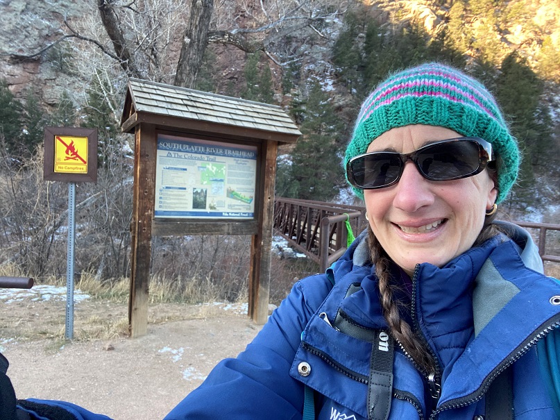
To head back, I just retraced my steps. However, now it was daylight, so I’d be able to get some appropriate pictures. Starting from South Platte River Trailhead, heading NOBO: The trail starts at the east end of the parking area
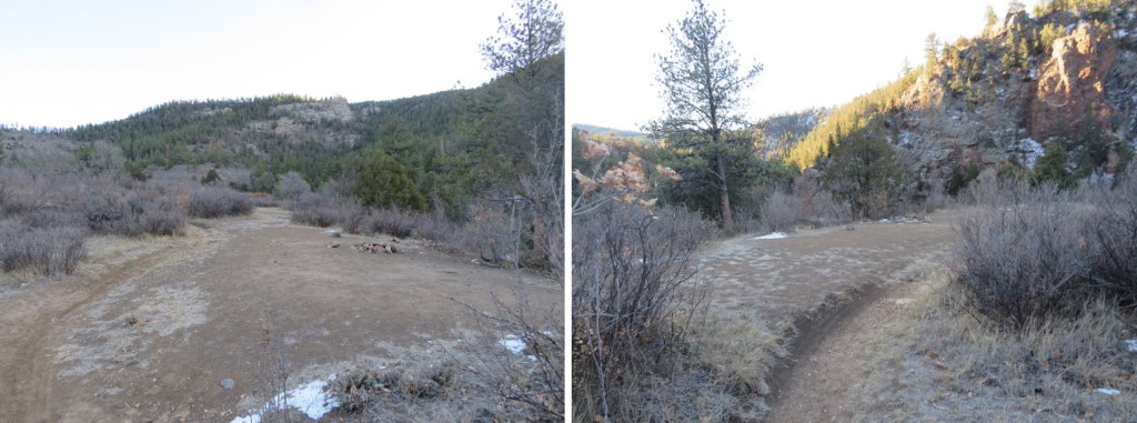
There are several great camping spots along the trail, just a few dozen yards from the parking area. I’m sure these are for CT hikers on their first (or last) nights. Lots of room here for a dozen or so campers that play nice.
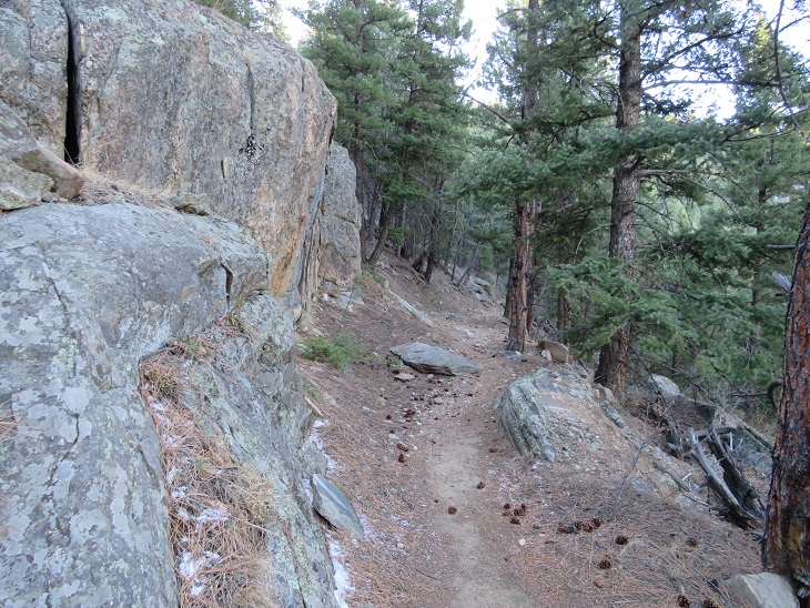
This was a very easy to follow trail that switchbacked northeast along the mountainside, first through chaparral, and then pine trees. There are lots of areas with chaparral, pinons, and pines along this trail.
Here’s another look at the quick plateau
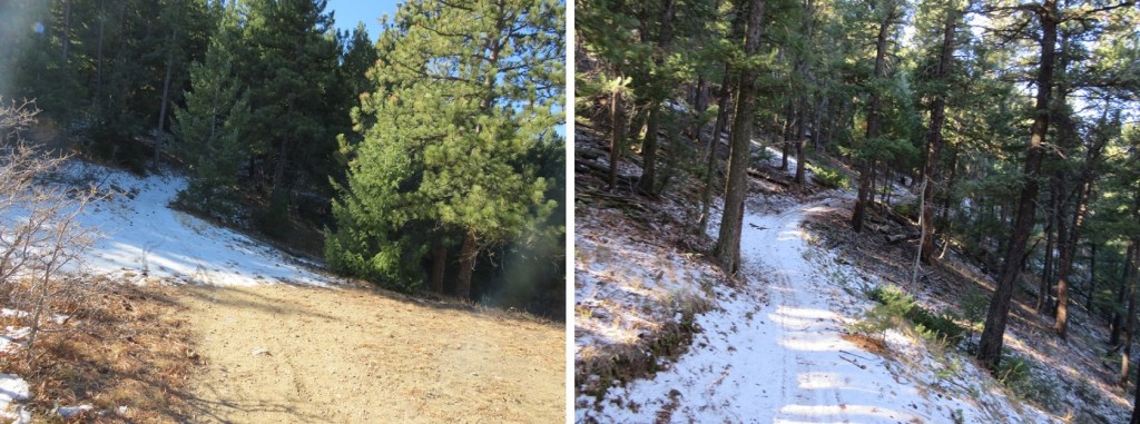
And more hiking through pine trees. I promised I wouldn’t say anything more about the wind, so I won’t.
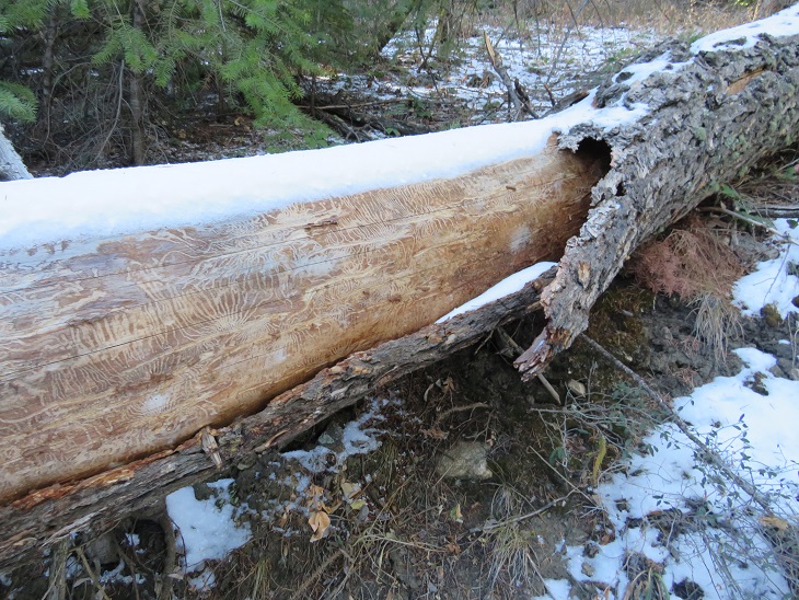
Here’s a cool log I hopped over on the trail. I’m a fan of the markings the beetles make, if not a fan of the beetles themselves.
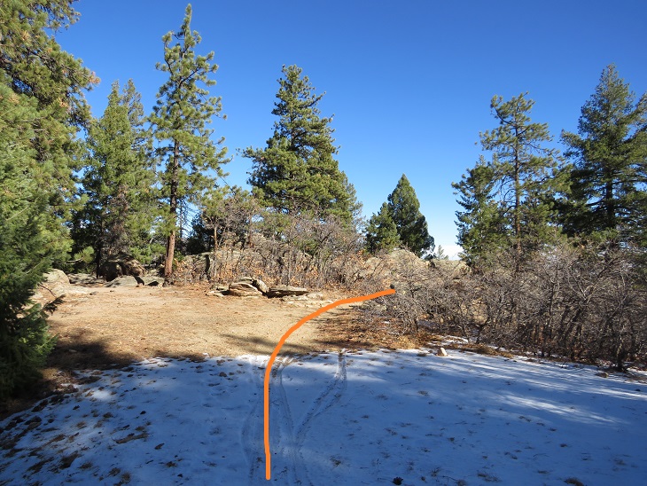
And now I was back up at the highpoint/ridge
From here I’d lose 1319’ of elevation as I wound my way back down the mountain
There are several good camping spots directly off the trail, just before the low point and after (if you’d want to camp closer, rather than later in your end hike).
When you see this metal drain you’re at a low point. I believe this is Bear Creek.
From here I gained the last 350’ of this hike in elevation as I hiked back up to Lenny’s Rest
Another camping option, although this one is kind of steep to get to.
I made it to Lenny’s rest, and stayed straight to stay on the Colorado Trail (going right brings you to Roxborough Park
From here I switchbacked and switchbacked and switchbacked back down to the road.
This is also where I encountered my first ‘people’ of the day. These people were riding bikes. I’ve encountered a lot of bike riders in my hiking experience, and I’d like to note everyone I encountered today was cordial. In Colorado Springs I’ve found the bikers had attitudes, but not here. I did my best to give them passing room on the trail, and they verbalized thank you’s. However, I was still frustrated. Over and over and over and over again I passed bikers headed towards me. Because I was hiking I gave them room and stepped aside. Again, and again. And again, and again. And again, and again. There were so may bikers I lost over an hour of hiking time giving them room. This was the right thing to do, but very, very frustrating. This is November, how many bikers could there be? (side note: dozens, if not hundreds). The trail eventually led to the road that navigates through Waterton Canyon
I was quite excited to see during the day what I’d missed hiking in at night. The first thing I noticed was a sign stating “This part of the Colorado Trail is maintained by the Colorado Mountain Bikers Association”. Well, that explained a lot. I just needed to prepare myself for bikers that wouldn’t end. The road led me past a maintenance yard and a ‘private residence’, which I believe belongs to a permanent/stationed worker here.
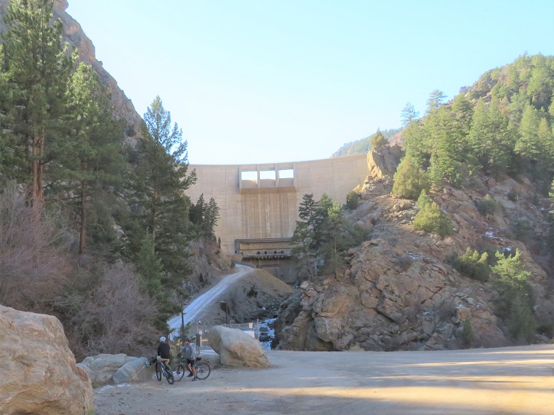
I quickly came to the Strontia Springs Dam, and got the feeling I’d be seeing a lot more people today than I’d imagined. And a lot more bikers. Sigh. Well, at least this was happening at the beginning of my journey. Also, I don’t dislike bikers, sharing trails is great, but I think we can all agree separate bike-motorcycle/ hiking trails is the optimal solution.
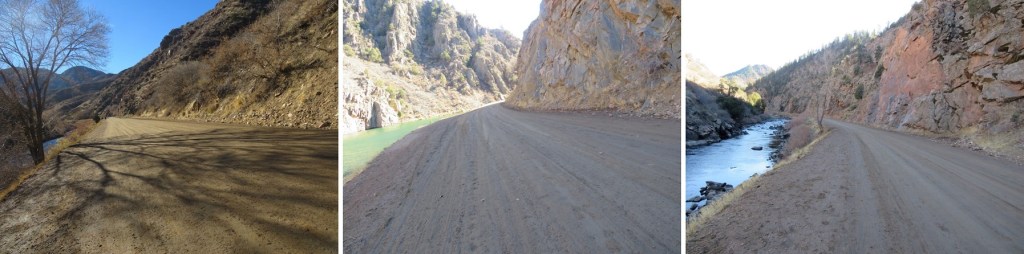
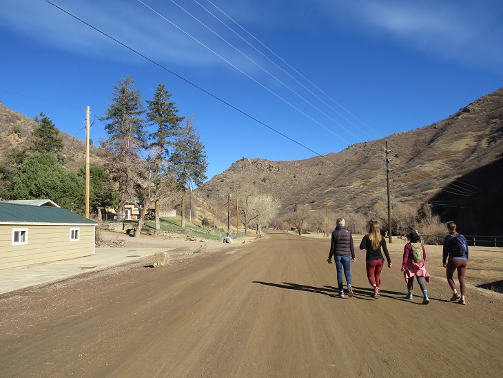
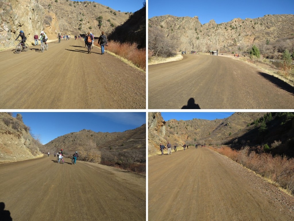
Most of the hike out was uneventful. I hiked for 6.2 miles along a well-maintained dirt road, doing my best to stay out of the way of the hundreds of bike riders along the way. Yes, hundreds. It was insane. There were bathrooms and picnic areas every 2 miles or so.
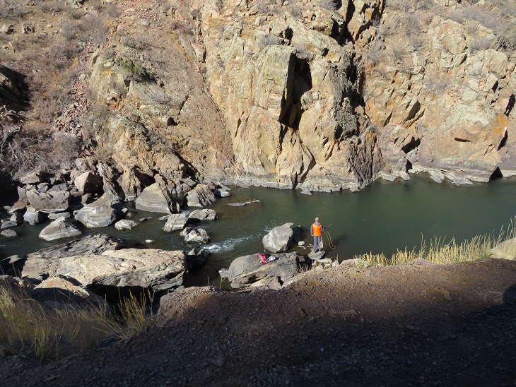
This road follows the South Platte River, which, according to the dozen or so fishermen I saw along the trail, is a good place to fish. Unfortunately, it must be too late in the year, as I didn’t see a single of these dozens of fishermen with a caught fish.
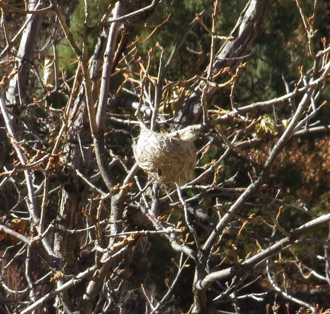
I saw birds nests in the trees
And wood ducks (the kind with red heads) floating in the river
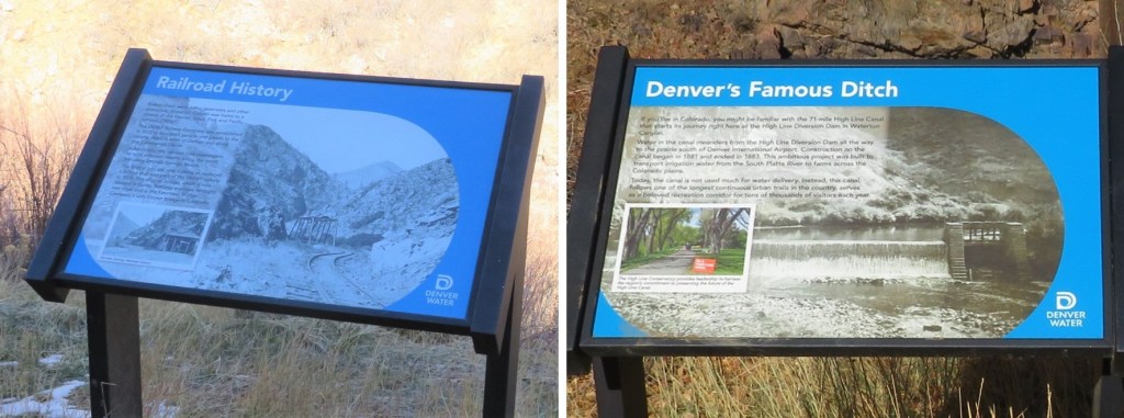
There were several interpretive signs along the trail as well
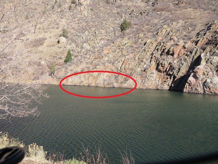
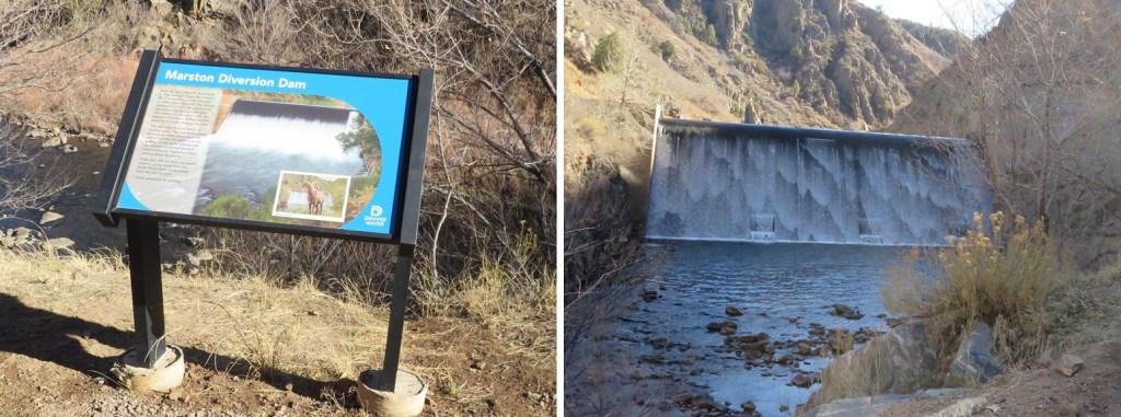
I passed the Marston Diversion Dam. At night, this was hard, yet amazing to see. Here it is in daylight.
And some more buildings/houses. It looks like they store snow equipment here
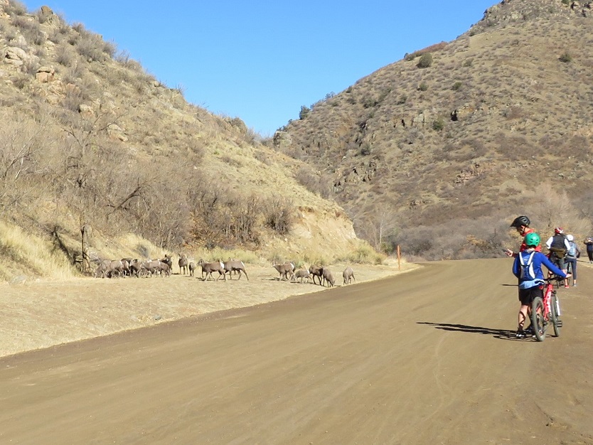
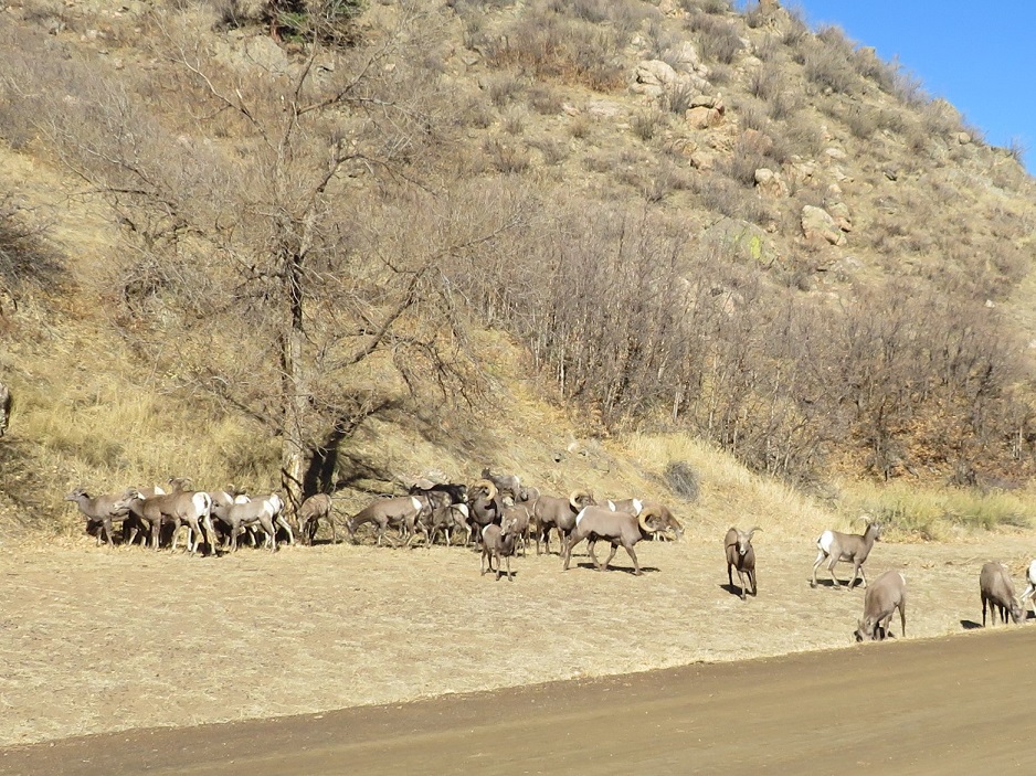
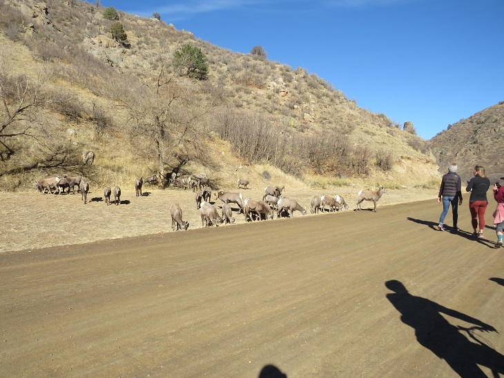
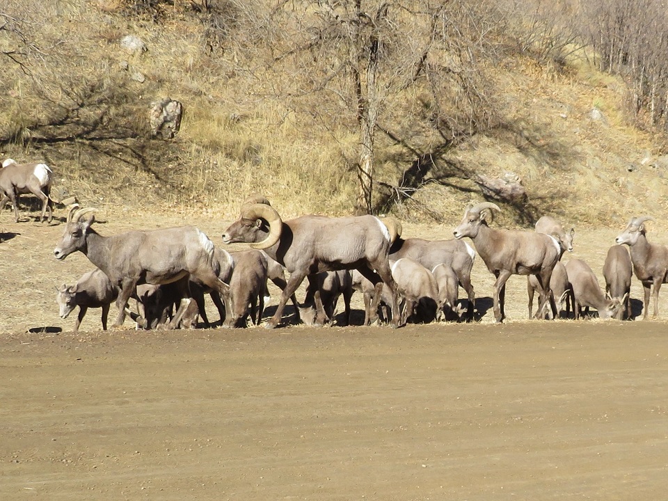
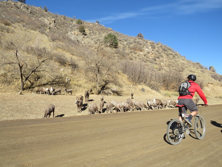
This is where it got really interesting: I could see people gathered along the side of the road ahead of me, and to the left of the road there was a large herd of bighorn sheep.
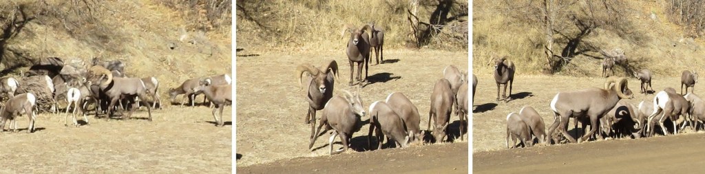
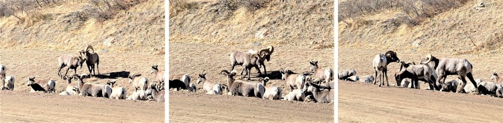
That’s when I heard it: the thundering of hooves quickly approaching from behind me. I turned and saw a rather large ram chasing an ewe down the mountainside at breakneck speed. They made it to the herd and everything settled down.
Well, kind of. It seems this is mating season, at least for the males. The rams kept chasing the females, sniffing their backsides and sticking out their tongues, testing if they were ready to mate. The females were having none of it, and kept darting away. You could see the power these animals have: lots of muscles and agility.
Bighorn Sheep – Waterton Canyon
Head Butt:
I was surprised at how close the people were to all this madness. There are signs posted asking you to stay a minimum of 25 feet away from the Bighorn Sheep, but it seems many people either hadn’t read the signs or forgot this. The sheep were all riled up (due to mating) and unpredictable.
I passed so many people on the way out. Hundreds of hikers, bikers, walkers, runners, and lots and lots of children on the trails. OMG, this was an insane entry point: One I’d love to do again, but never with this may people. INSANE.
Here are some pictures of the end of the trail
And a picture to prove I made it back
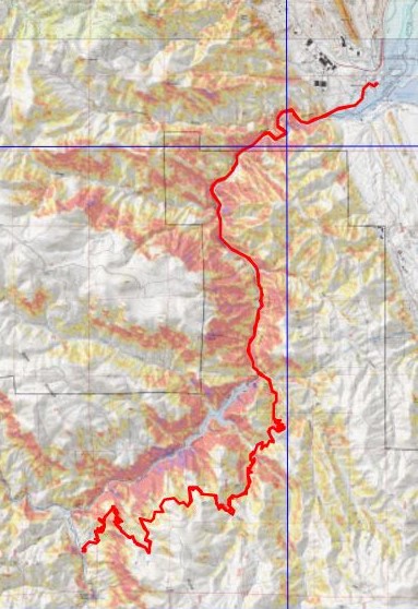
I made it back to my truck at 1:45pm, making this a 34.18 mile hike with 4308’ in elevation gain in 11 hours, 20 minutes. Added bonus: My truck was as I’d left it. I’d been a little bit worried, because about 5 miles in I realized I’d forgotten to lock the topper. Whoops! I was lucky this time. Here’s a topo of the route. (Side note: feel free to contact me if you’d like a copy of the GPX file for this route).
The most difficult part of this hike ended up being the drive out. It took no less than 15 minutes for me to leave the parking lot, due to the number of people using the crosswalk and drivers coming each way. A nice person finally realized my predicament and waved me on, even though they had the right of way.
When I got home I took out my journal to write notes, but decided I’d rather start a specific journal, just for the Colorado Trail. I have some stocked up, for just this reason. Emily drew the Colorado Trail logo on the front, and I started jotting down notes. I’m kind of liking this journal…
I drove through the night and arrived at St Elmo at 4am. I love driving, especially at this time of year: once the summer campers are gone I don’t see another vehicle from the time I hit HWY 24 until I make it to my destination (besides the predictable police officers, stationed on the side of the road in their usual places – It’s gotta be tough for them this time of year, and cold. Thank you for your service). The 2WD road in was a bit slick so I took it slow.
The usual place I like to park (on the east side of town) had vehicles and trailers parked erratically in most of the spaces. It looked like they’d been parked there for quite a long time, so I drove through town, looking for a place to park closer to where I wanted to start. I figured I could always turn back if needed and squeeze-in. There were dozens of ‘no parking’ signs all through town, leading up to 267, but I was able to find a 20 foot space right near the start of the trail that didn’t have a ‘no parking’ sign (there were signs on the opposite side of the road, but not here, so I took pictures and crossed my fingers this was a ‘legal’ place to park). I decided to take my chances and park, mainly because it was cold, and I wasn’t entirely sure I was hiking for very long this morning (I would most likely be back by 8am at this point, before anyone would question my questionable parking situation). I was having a really hard time motivating myself to hike today. As I drove to the trailhead the temperature outside plummeted, and was a balmy 7 degrees outside when I arrived. The forecast said a low of 30.
I know myself pretty well, so I have a rule that says I at least attempt a hike (except for that one time when the temperature was -36 degrees at the South Mt Elbert trailhead. I turned around that time… after sitting for 30 minutes at the trailhead waiting for the temperature to increase. When it didn’t, I was more worried about re-starting my vehicle after turning it off than I was about my own personal safety and left. Otherwise, I always attempt). Usually, once I start hiking I don’t want to stop. Hiking always makes me feel better, and I never regret a hike, even if I need to turn back. Also, the further I go the less likely I am to turn back. So, I went through the act of putting on my essential cold weather gear, telling myself I’d work at it and only turn back if I was worried about frostbite (etc). Don’t we all love a balaclava?
I was on the trail (in all my winter gear) at 4:30am. The trail starts out following Trail/Road 267 west
This road goes all the way to Tincup Pass, and by the looks of it, a 4WD vehicle had driven the entire way recently. High five to this individual, as they have some serious chutzpah. I was glad I’d parked below however, as I wasn’t sure how my truck would have done on the ice.
This trail parallels North Fork Chalk Creek. As I was hiking my feet were frozen. My fingers were frozen. I couldn’t feel my nose. I kept telling myself I should turn back. But I also kept telling myself I wanted to get a good hike in today, as the alternative was to drive home and hit the treadmill: I’d just make sure I got in at least 5 miles out and back. Ok, 10 if possible? And how could I get as much elevation gain as possible while avoiding those torrential winds? If mileage/elevation isn’t possible while hiking I hit the treadmill when I get home, but I’d much rather make my miles/elevation in the mountains. It was supposed to be very windy above treeline today, but if I kept moving I could keep my toes ‘warm’. They had to warm up eventually, right? So, I kept going. I jumped a few times in the dark at the sound of running water (water running over trailside waterfalls). I know that sounds weird, but it was always unexpected, specially today as otherwise it was very quite this morning.
I followed the road for 5.15 miles, staying right here to stay on the road. As I hiked I saw quite a few moose tracks. It looked like a mama and baby were in the area, so I was on the lookout. I saw tire tracks, but no human footprints.
From here the incline started as I followed the road up the mountainside
After hiking for 5.15 miles I was in the basin. My spirits had lifted, and I was now excited to be out hiking today. The winds had put drifts onto the 4WD road, so I decided to put on my snowshoes and head towards Tincup pass on foot.
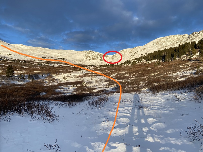
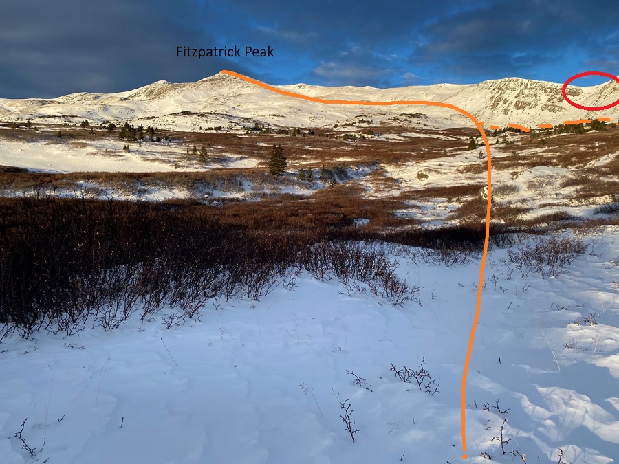
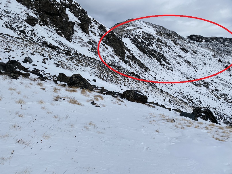
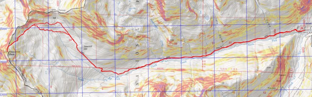
As I hiked I changed today’s hiking plans. Originally I’d planned to hike Emma Burr, but I could see by looking at the clouds the winds were intense above treeline, and the snow was coming in much earlier than predicted (4pm was when they were slated to start, but by the looks of it, it would be snowing before noon). I had several options today, and chose instead to summit Fitzpatrick Peak. I believe this is traditionally done by gaining Tincup pass and following the ridge (thus getting in a 12er as well), but my visual of the winds told me my Raynaud’s would balk at a windy and cold ridge hike today. So, instead I decided to make this a visual hike and hike up the west side of Fitzpatrick Peak, staying below the ridge and thus avoiding the brunt of the wind. Here’s my overall route. In red I’ve circled an obvious trail, but it led to a cornice I didn’t feel comfortable attempting today.
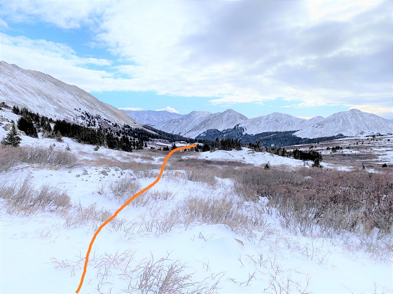
On the way in I went through the willows, and don’t recommend this. I followed moose tracks, winding in and out as they did to find the best path. On my way back I stayed higher and found more solid ground (dotted line). I’d recommend staying high.
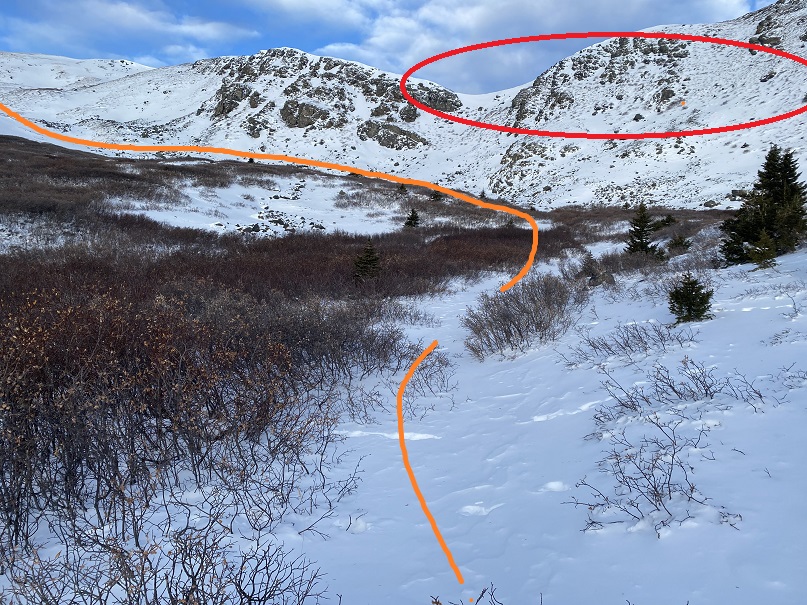
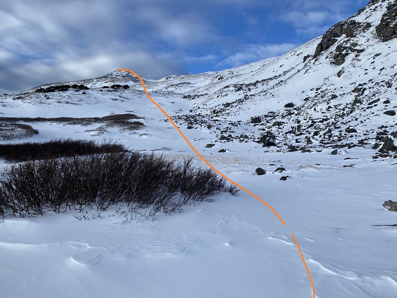
This is a very visual, not a technical hike. Here are some close up pictures (once again, one of the summer routes is circled, and you can see why I chose to stay low, as there’s a cornice at the end of the route, and cliffs above the exit point around the cornice).
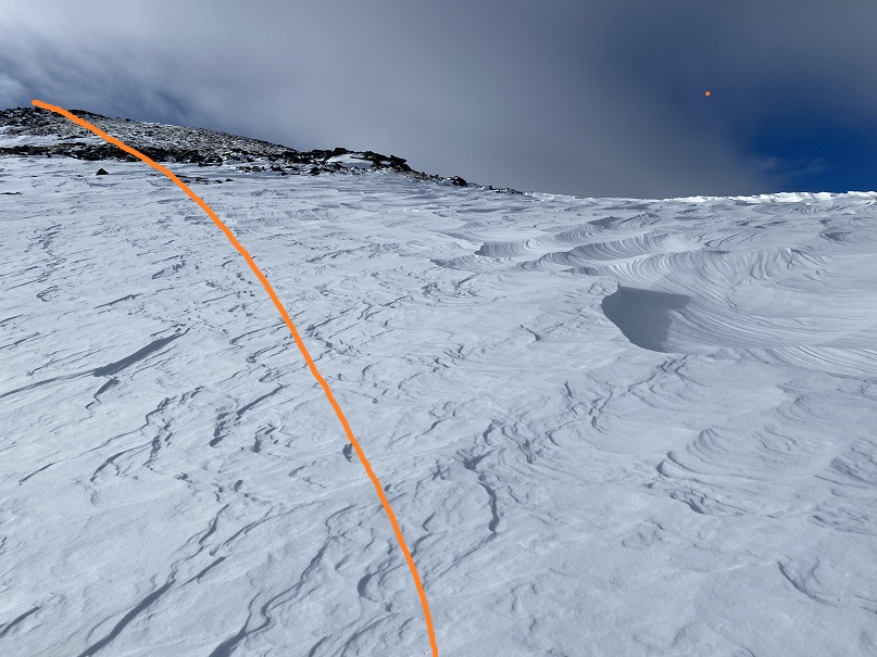
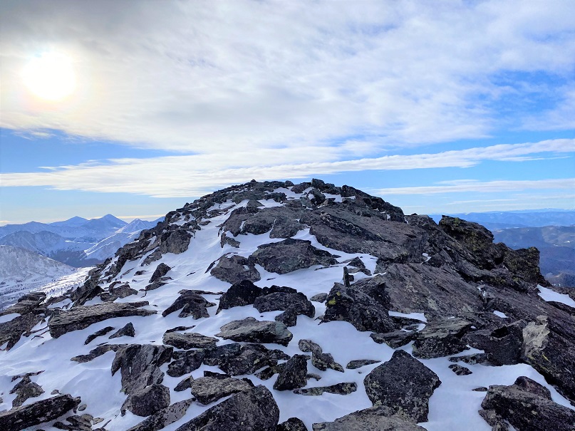
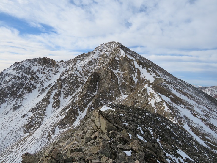
I gained the ridge at the last possible point. Here I encountered fierce winds and sastrugi. It had been a good idea to stay low for so long.
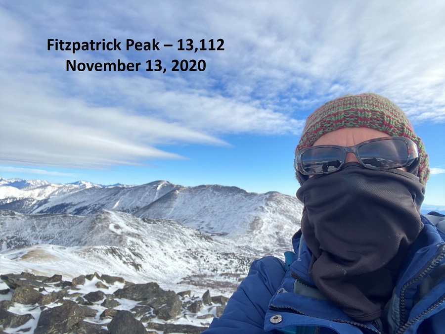
I summited Fitzpatrick Peak at 8:35am. Note: I recently bought a stylus (well, 5 for $3, gotta love Amazon) and it’s changed my life! I no longer need to take off my gloves to take a picture with my cell phone. This is a major bonus when your camera battery dies due to cold, but your phone still works. The only downside? It’s still selfies at summits (trust me, I hate these more than you do).
Fitzpatrick Peak:
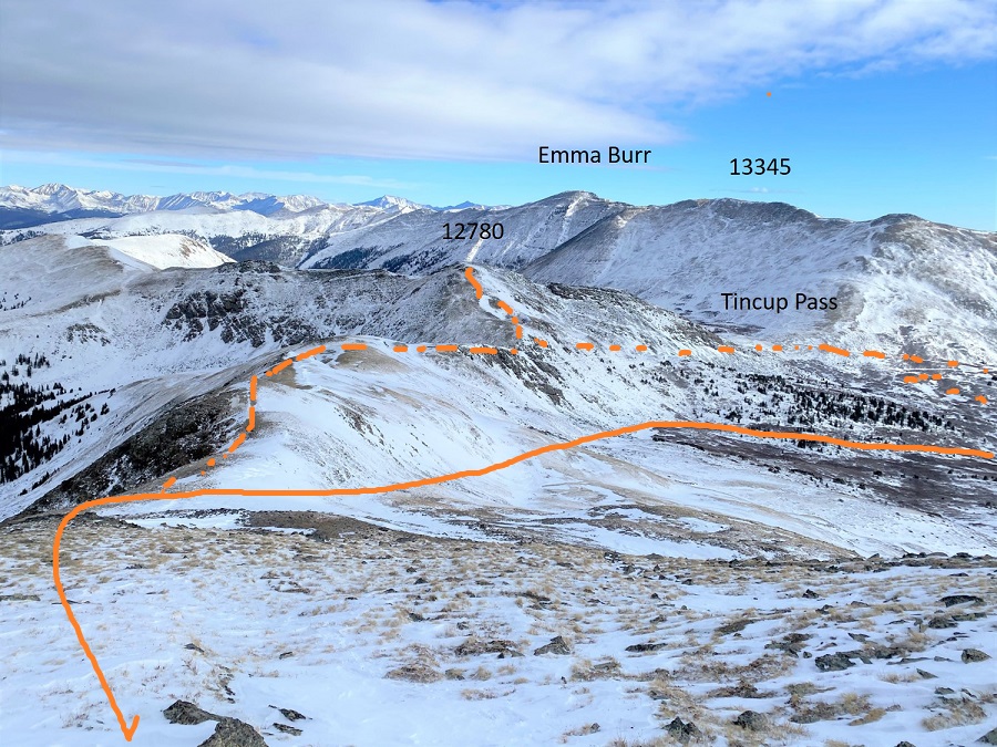
Time to head back. The winds were seriously intense, and, even though I missed out on a 12er and several other 13ers, I still believed I’d made a good choice in the peak I hiked today and my approach in doing so. Here’s a look at the way back, with a look at Emma Burr, as well as the 12er, Tincup Pass, and alternate routes/4WD roads. My route is solid orange, alternates are dotted.
The winds were intense and I could see the snow coming in (early), so I didn’t stay long on the summit. Here’s the route down, one of the alternate routes I’d avoided circled in red. I stayed higher this time, mostly because I really wanted a picture of me at Tincup Pass with all this snow, but as I hiked on the weather quickly deteriorated. The clouds came in faster, and it started to snow. So I decided to just aim for the trail I’d hiked in on and get out before the storm hit.
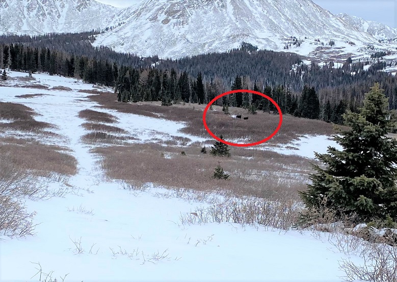
As I was hiking out I saw two moose! They weren’t right along the trail, but I was confident I’d been following their tracts earlier.
They were both males (not a mama and baby), one that looked mature, and the other probably a 2-3 year old (his antlers were lacking, but present) and while they didn’t run away (which is usually what happens when I see moose) they did stare at me, and turn their bodies as I walked by. To avoid conflict I didn’t make eye contact, and tried to be as respectable as possible. These photos are terrible because I wasn’t aiming/zooming in, etc., but snapping as I hiked past…. and they were on my cell phone (my good camera had a frozen battery and wasn’t functional). It’s been quite a banner year for me for moose sightings. I think I’m up to 7 or 8, when it’s usually around 3 or 4.
I think it’s interesting the males seems to join together. I’ve never seen two females together (unless mother and baby). I’ve seen males and females alone, a male and female together, and up to 3 males together at a time, but never two females.
I was now back at the 4WD road. Here I took off my snowshoes, as they were no longer needed (they were a bit overkill towards the summit, but it hadn’t been worth it to take them off for such a short trek)
It was now snowing. Not a lot, but enough to tell me to book it back to the truck. The weather had certainly come in much quicker today than anticipated. I was pleased with my choice of Fitzpatrick Peak as an alternate today: the weather on Emma Burr looked menacing at this point. I followed the 4WD road back
This time, appreciating the streams whose noise had startled me in the dark, and doubly appreciating the lack of snowmobiles: Last time I was here they zoomed by every 5 minutes or so, and it was obvious they were on a tour and didn’t know how to navigate their vehicles: I did a lot of jumping out of the way. Today it was a nice, peaceful hike, and I didn’t see another person all day.
I made it back to my truck at 11:30am, making this a 14.65 mile hike with 3169’ of elevation gain in 7 hours.
It was now 36 degrees, and while my hike hadn’t turned out as I’d intended (Emma Burr was my initial goal) I was so glad I’d decided to get out of my truck in 7 degree weather and hike! Added bonus: Apparently I’d parked legally: no ticket on my dashboard and my truck was still there when I got back, so I’m assuming it was a legal place to park (with so many ‘illegal’ places, a nice ‘you CAN park here’ sign would be nice…)
There was a storm predicted for this weekend, so I set out to try to get this loop in before the snow hit. I had no trouble driving the 2WD dirt road all the way to Winfield, even though it was icy in spots.
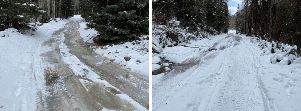
Once I made it to the 4WD road it became icy. I decided to park in the dispersed camping area and hike along the road. There are several dispersed camping areas here, and plenty of parking.
I put on my microspikes at the truck and didn’t take them off the entire hike (although they were overkill for over half of the hike). I started out following the 4WD road southwest. It quickly became icy and I was glad for the spikes. I could also hear owls on either side of the trail. They were hooting, calling to each other back and forth. We’ve recently had an owl take up residence in our backyard and the calls were similar, so I’m guessing they were great horned owls. I also heard a chirping in-between calls. I’m not sure what animal the chirping belonged to, but it happened every time an owl’s call ended, and before the next one began. In any event, the sounds kept me occupied as I hiked in the dark.
I followed the 4WD road for 2 miles to the upper trailhead (Lake Ann). Here the trail splits. I took the well marked ‘Huron Trail’ that went left up the mountainside.
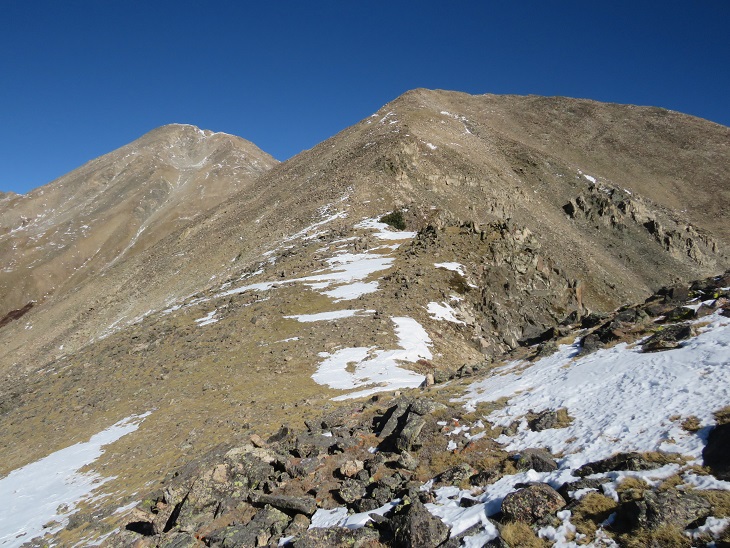
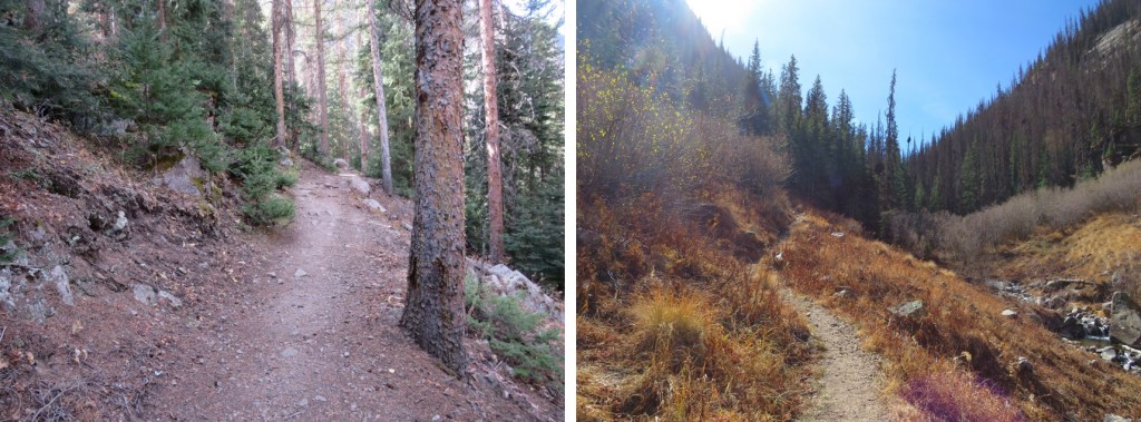
The Huron Trail is a well marked and easy to follow class 1 trail that takes you all the way to Huron Peak. This is also a well documented trail, so I’ll just add a few photos.
Once at the saddle the trail became increasingly icy, and I was glad to be wearing my microspikes. Also, one of them broke (I continued to wear it anyway. The other one broke as well later on, but microspikes are easily fixable so I wasn’t too worried).
I summited Huron Peak at 7:45am
Huron Peak:
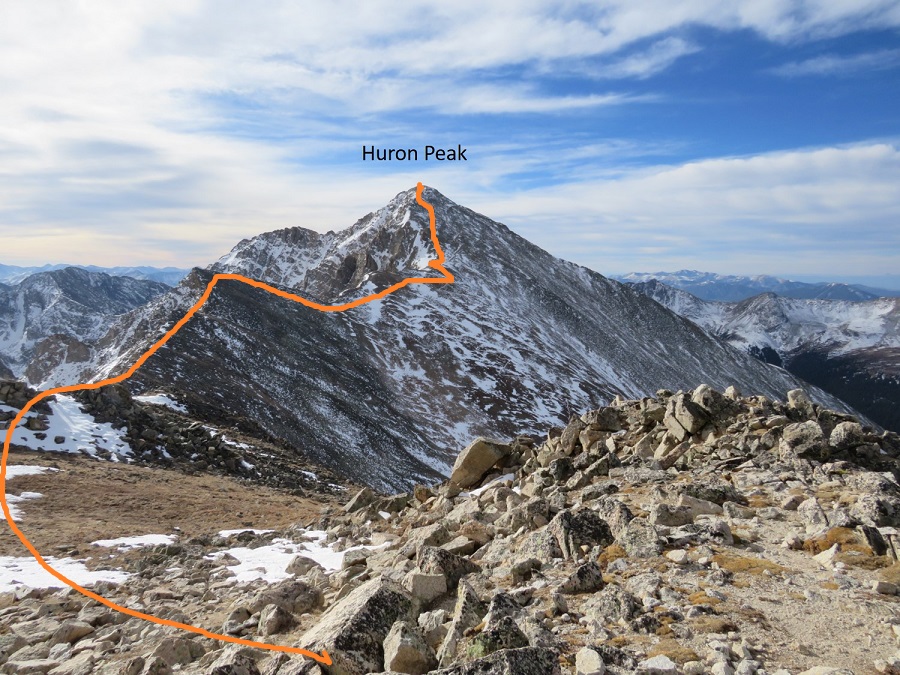
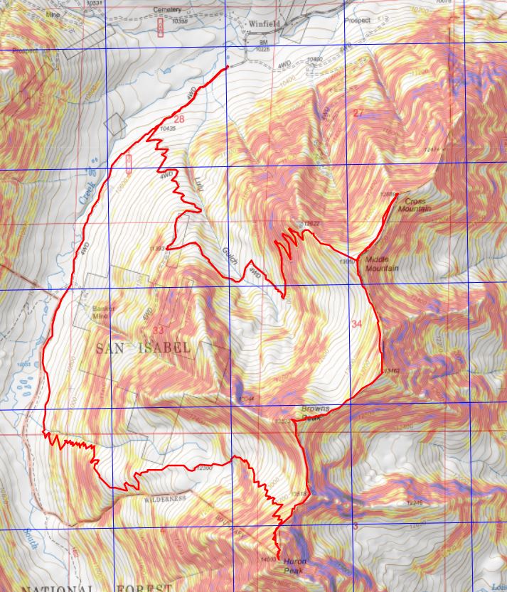
From the summit I had a great view of all the other peaks I intended to hike on this loop. Here’s the overall route, which consists of a nice ridge hike
I turned around and headed back to the Browns/Huron saddle, and then over to Browns Peak. I summited the point here on my way over to Browns, but that’s unnecessary, as it’s not ranked and just adds elevation (the elevation part was why I summited the point)
I summited Browns Peak at 9:10am. Browns Peak is unranked.
Browns Peak:
Here’s a look back on the route to Browns from Huron
From the summit of Browns I could see my next 3 summits, as well as the trail I intended to take back down
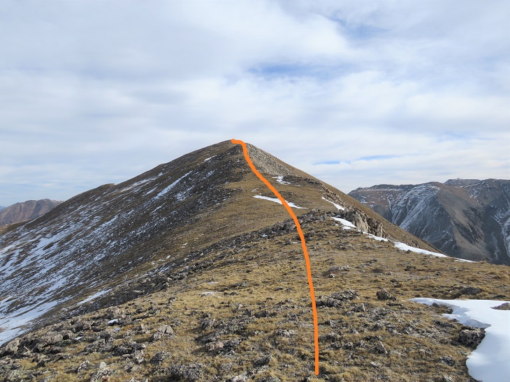
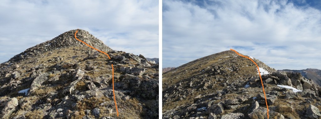
It was a simple ridge hike to the saddle and then back up to PT 13462
There was a small false summit before the actual summit
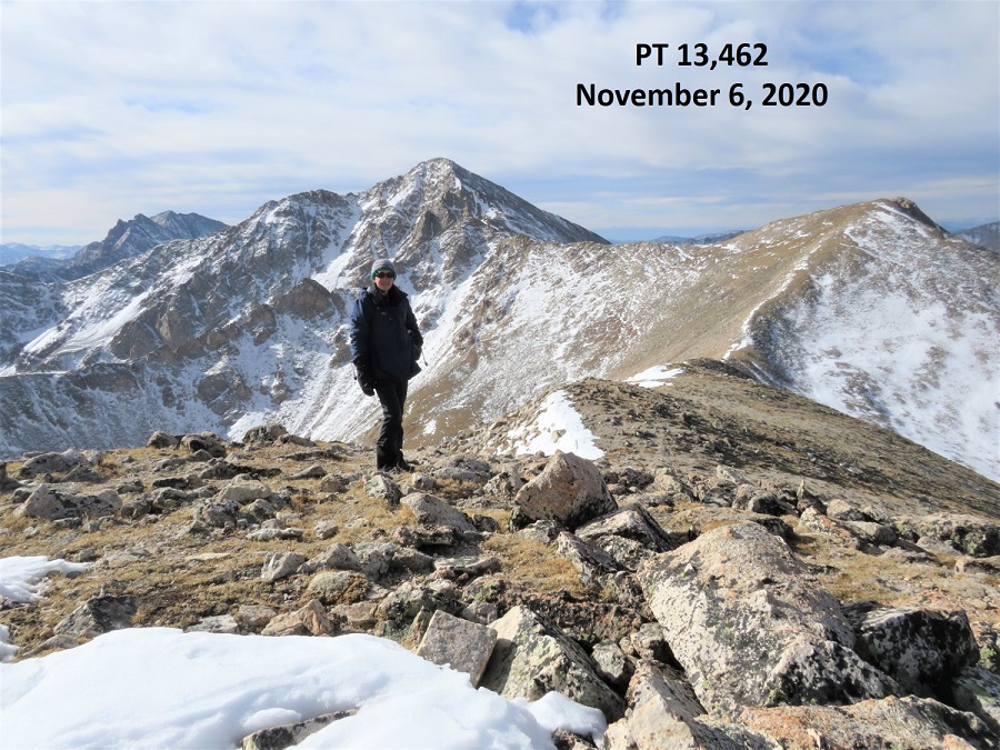
I summited PT 13462 at 9:40am
PT 13462:
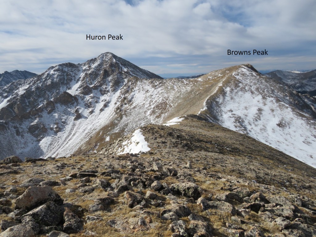
Here’s looking back at Huron Peak and Browns Peak
The hike over to Middle Mountain B was also a simple ridge hike. Here’s the route
I summited Middle Mountain at 10:10am (also unranked)
Middle Mountain:
Here’s looking back on the route so far
It was still early in the day so I decided to head over to Cross Mountain. This is another unranked peak, but it’s named, so I didn’t want to leave it out on today’s hike. It was a quick and easy hike northeast over to Cross Mountain.
I summited Cross Mountain at 10:35am
Cross Mountain:
Here’s a look back at the other peaks I summited this morning
I was making this a loop, which meant I needed to re-summit Middle Mountain, turn right and head northwest down the ridge to the 4WD road. Here’s an overview of the route
First, I made my way back to Middle Mountain
Once I’d re-summited Middle Mountain I turned right and headed northwest down the ridge, aiming for the 4WD road
Then I followed the road back to my truck. Here’s an overview:
A word of caution here: the 4WD road isn’t truly a road for most of the way up the side of this mountain. It looks to be an old mining road that hasn’t been used in many years, and has experienced rockslides and avalanches, turning the road into more of a trail down the mountain and into the gulch. In other words, if you have a 4WD vehicle, or even a motorcycle, don’t plan on driving it up this road. Evidence:
Once down in Lulu Gulch the 4WD road picks up again, and is easy to follow.
Here’s a look at the hike down from the ridge
The 4WD road was indeed easy to follow, but it seemed to go on and on. And on. And on. I was very happy with my choice to summit Huron first today, as this was a very long slog back to the main 4WD road and I would have been terribly bored following this road as it switchbacked (needlessly?) down the mountainside. It kept going, and going, and going. I seriously wanted to just cut the switchbacks and make it a straight line (but didn’t)
I was thrilled when I reached the main road
Here’s looking back at the turnoff (this is what you see when hiking in, you can go straight to the Huron Trail or left to follow the mining road and summit Middle Mountain first)
I followed the icy 4WD road back to my truck, thankful for my microspikes
I made it back to my truck at 12:15pm, making this a 13.83 mile loop with 4811’ of elevation gain in 8 hours, 15 minutes.
Note: I do not recommend doing this hike in reverse.
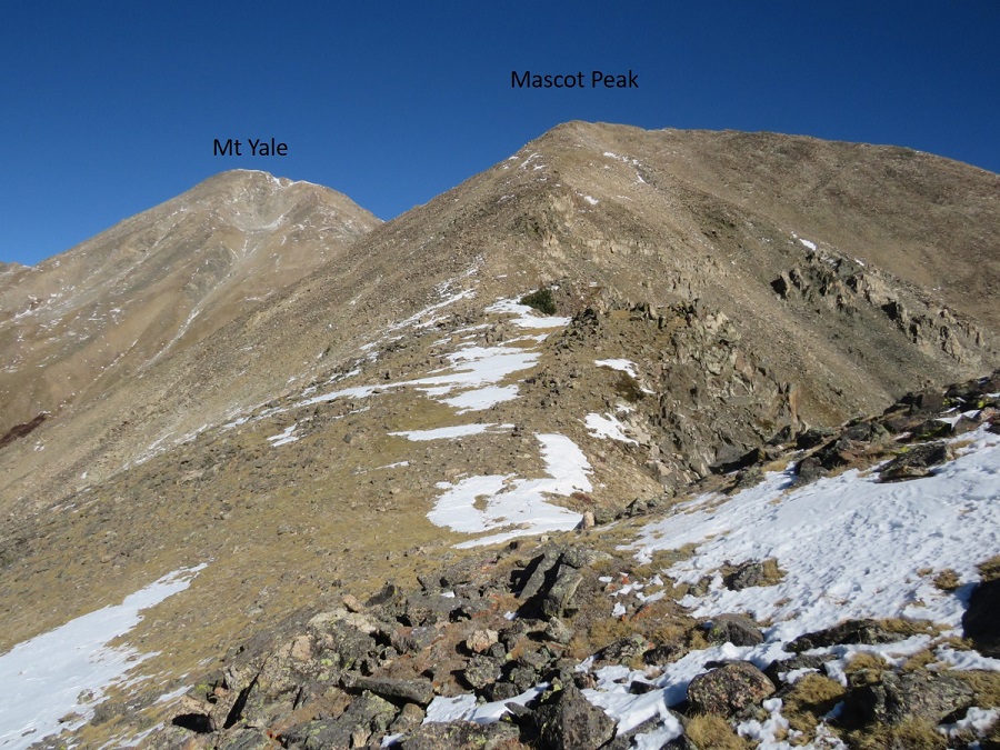
Two days before this hike I’d driven down Cottonwood Pass and noticed the route for Mt Yale and Mascot Peak looked virtually free of snow, whereas the other peaks in the area seemed to be holding a lot more snow.
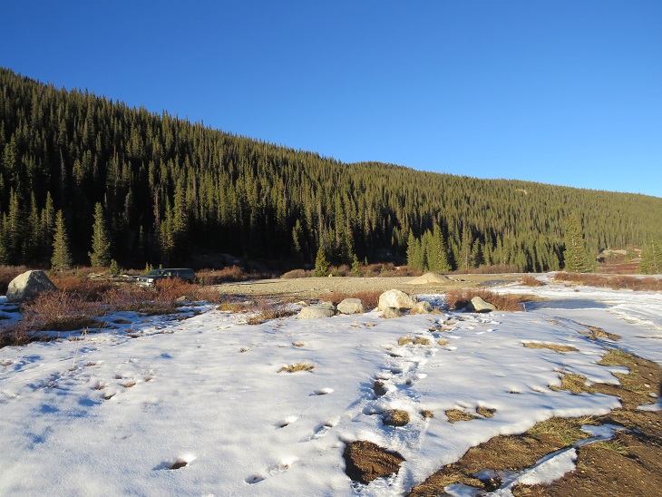
I arrived at the Denny Creek Trailhead and was on the trail at 4:40am. There was only one other vehicle in the lot, which could hold around 40 cars. I’m not going to go into great detail about the hike up Mt Yale because it’s very well documented and mostly a class 1 trail. I’ll just add a few pictures of today’s route.
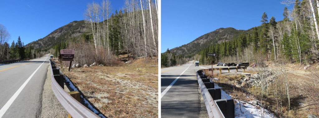
There’s a great trailhead sign indicating the start of the trail at the north end of the parking area
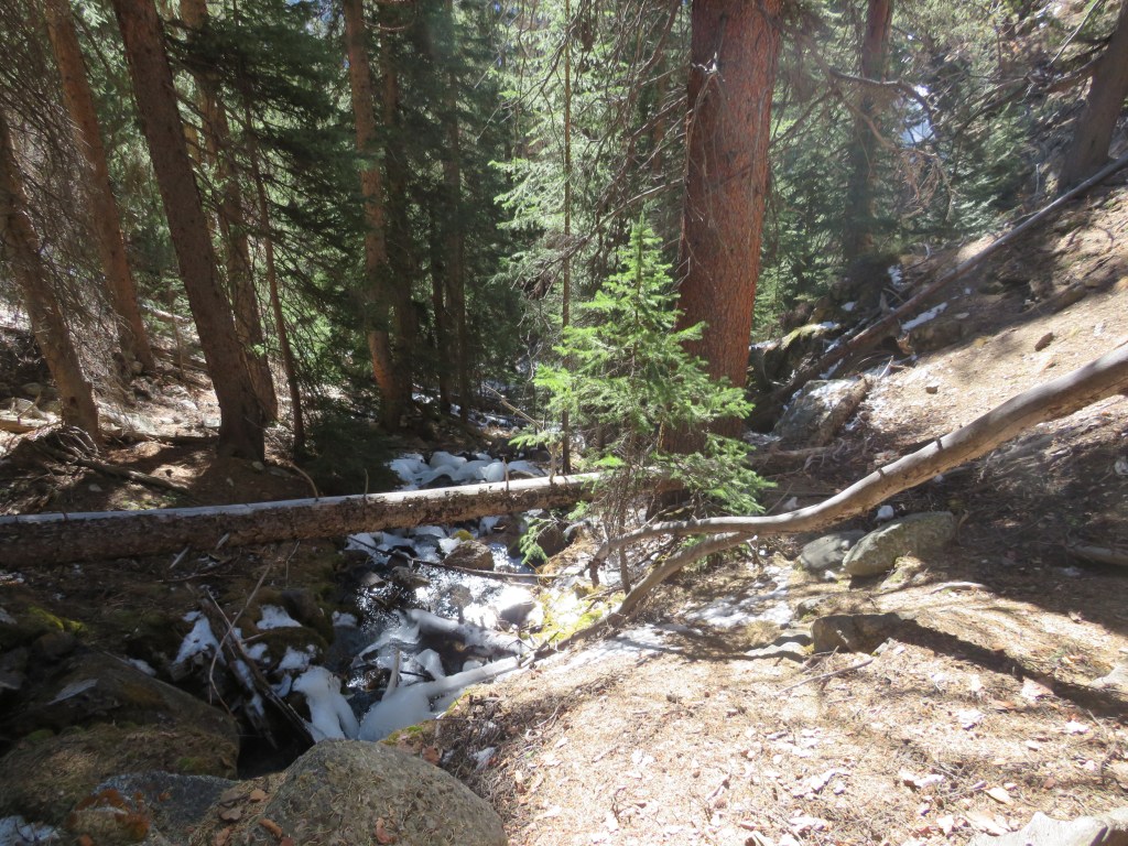
There were three frozen creek crossings, all easy to cross on logs (but remember, ice is slippery, so take care)
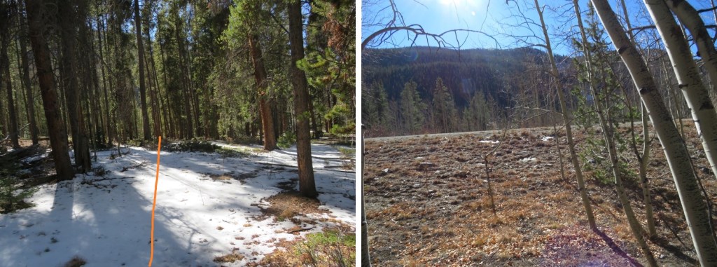
The trail was well packed to treeline. No traction was necessary.
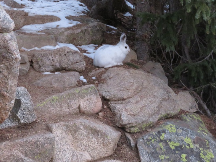
I saw a rabbit directly on the trail. This rabbit didn’t seem to mind my presence, and refused to move/run away until I was about 2 feet away from it. It ran and ‘hid’ under a pine tree, but since it’s now white I had no trouble seeing it behind the branches.
Once at treeline there was still snow, but it was easy to follow the trail to the saddle, and then southeast to the summit of Mt Yale.
The summit of Mt Yale is the highest point at the southeastern part of the ridge.
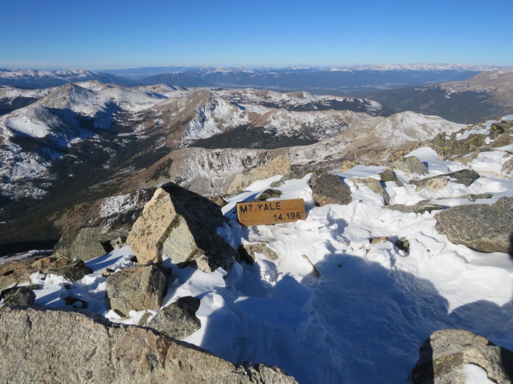
I summited Mt Yale at 8:20am. There was a sign at the summit (I don’t remember it being there last time I summited, and I’m surprised no one has taken it back down/hidden/destroyed it yet)
Mt Yale:
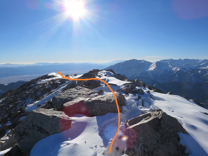
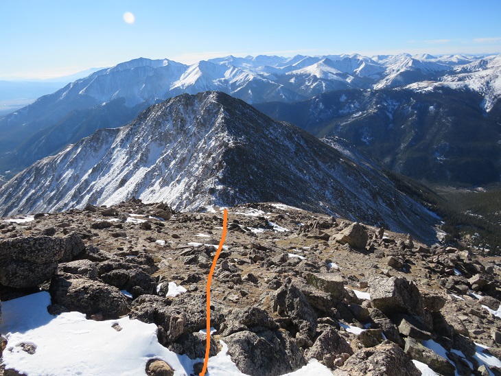
Mt Yale was where the tracks in the snow stopped, but Mt Yale wasn’t my primary objective today so I didn’t stay long on the summit. Instead I continued heading southeast, making my own tracks, postholing at times.
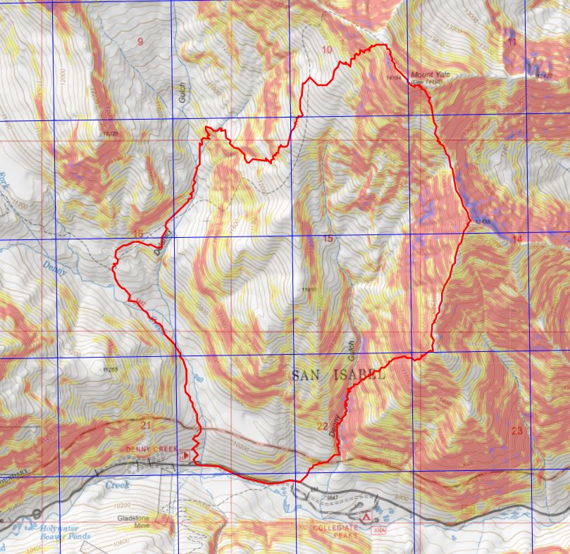
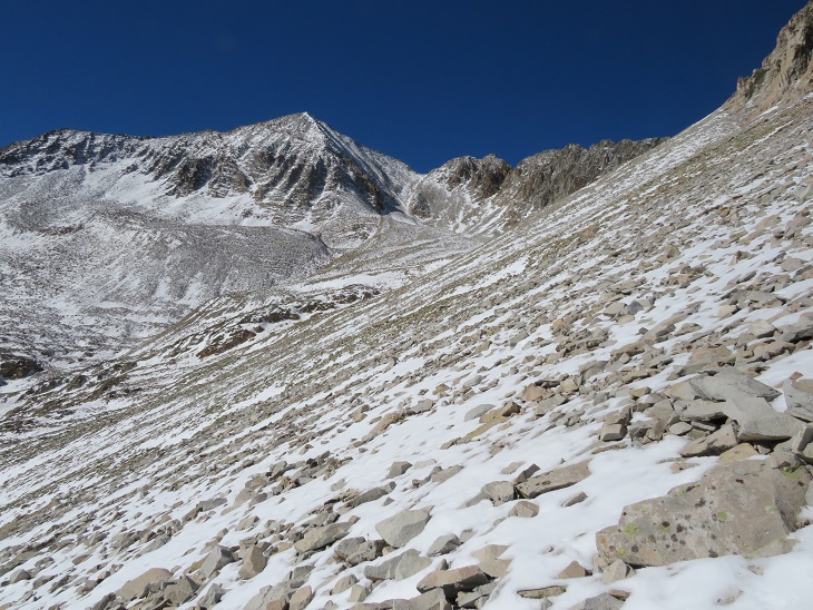
I came to a gully that I was going to descend before heading to the saddle between Mt Yale and Mascot Peak. There was more snow in this gully than the pictures show, and I was glad I wasn’t doing this in winter. A ice axe would have been helpful today, and I should have put on my spikes, but instead I balanced myself with my trekking pole on the slippery snow and made cautious decisions about foot placement. I descended 1122’ to the saddle.
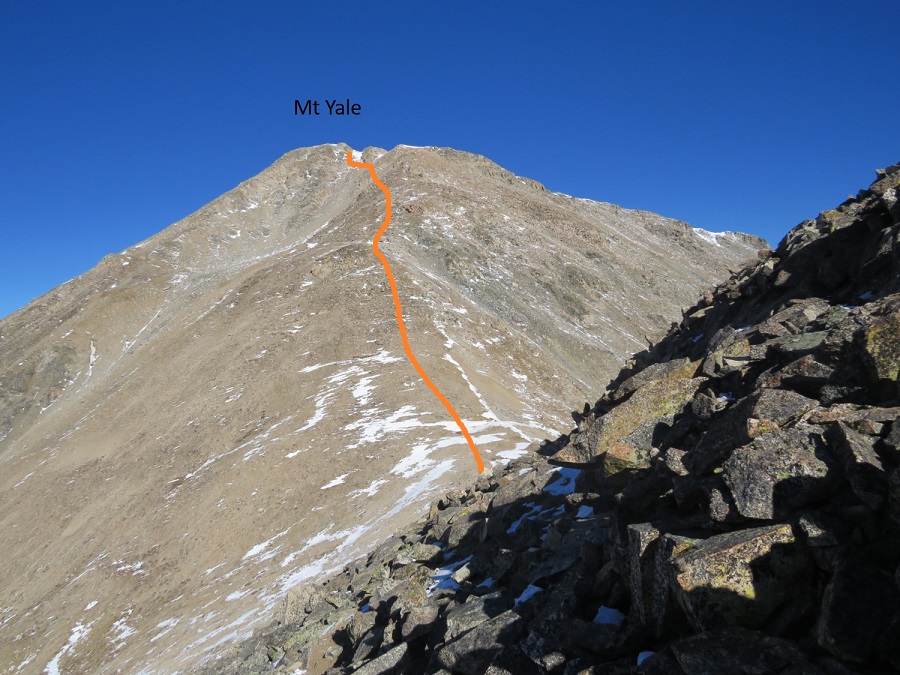
Here’s a look at my route from Mt Yale from the Yale/Mascot saddle. The snow at the top was more troublesome than it looks. There also seem to be several ways to descend to the saddle.
From the saddle the route up to Mascot Peak was simple, straightforward, and not as steep as it looked from Mt Yale. This was the easiest part of the uphill climbing for the day. The only difficulty was the wind.
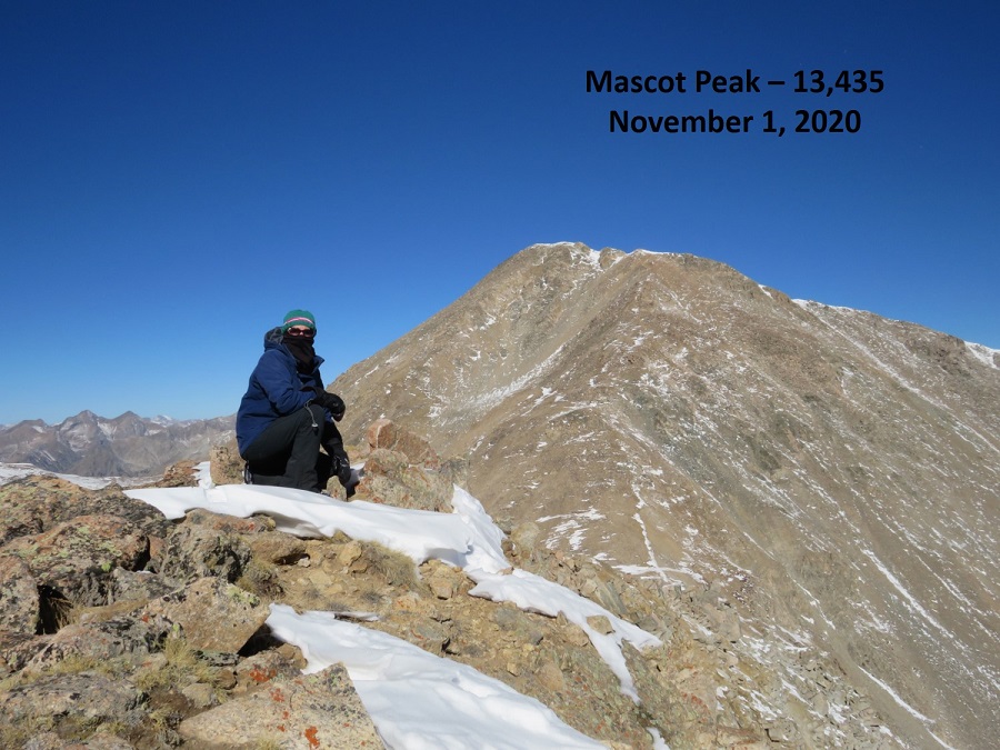
I summited Mascot Peak at 10am
Mascot Peak:
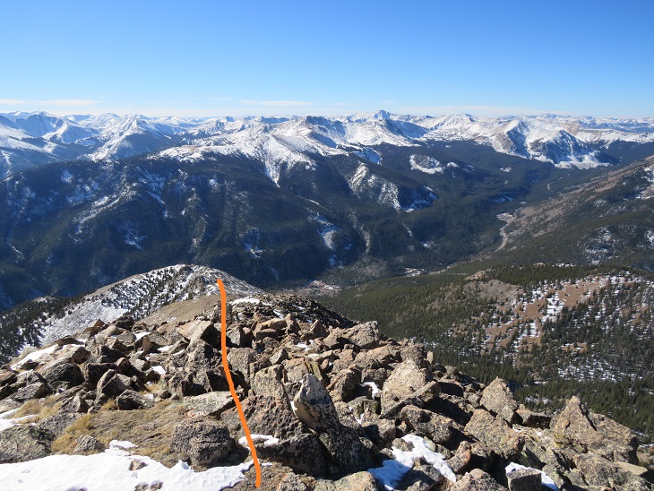
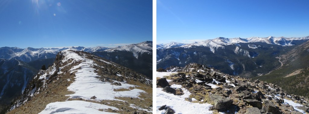
I was making this a loop today, so after a few pictures I continued southwest down the ridge. I stuck to the top of the ridge. There’s a great view of Cottonwood Pass until you get to treeline, so as long as you stay on the ridge it’s difficult to get lost.
Here’s looking back at Mascot Peak and Mt Yale from the ridge
Just before treeline I left the ridge and headed right (west) down what could loosely be called a gully.
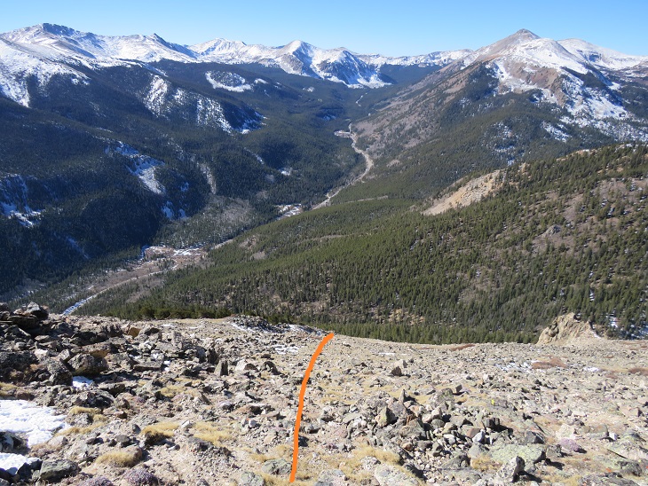
I aimed for an old, solitary tree standing amongst the rocks, and then followed the gully as it descended southwest to Denny Gulch
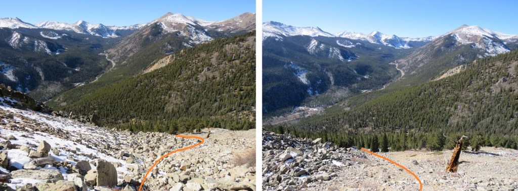
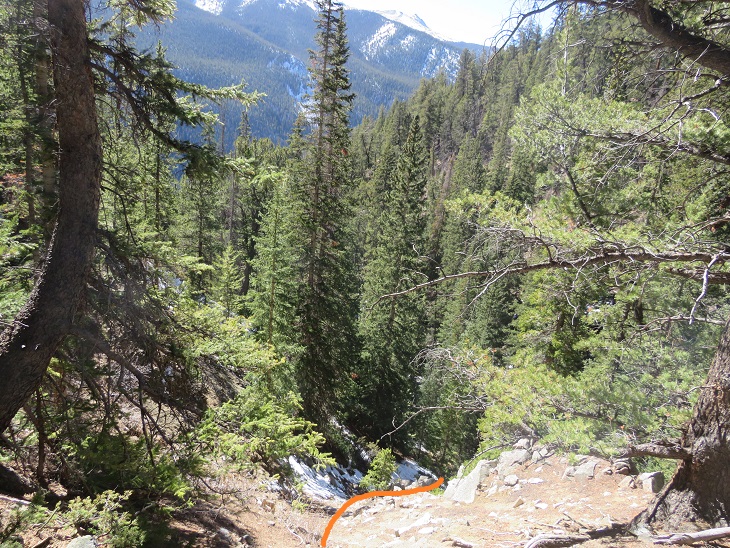
I kept following the obvious curve as it headed to treeline (no trail here, just keep taking the path of least resistance towards Denny Gulch)
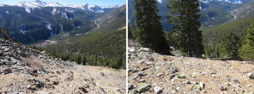
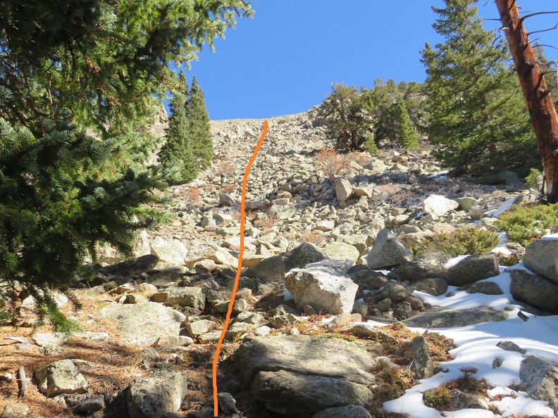
In case you want to do this route in reverse, here’s looking back at the route from before treeline and up to the ridge. I would not have wanted to upclimb this, and instead recommend taking the class 1 trail up to Mt Yale. This was very steep, and fun to scree surf down.
Once at treeline I kept aiming for Denny Gulch, following a drainage of sorts southwest
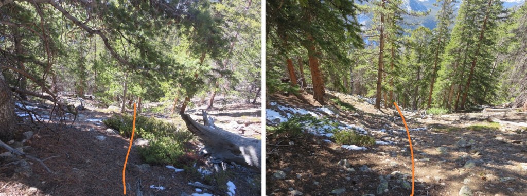
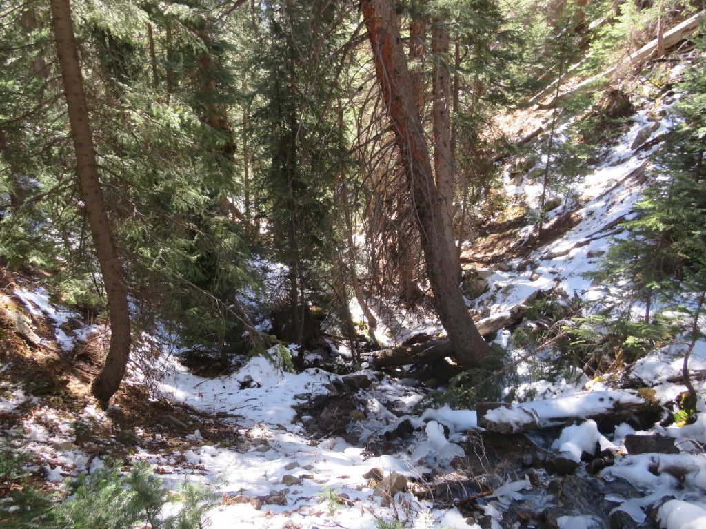
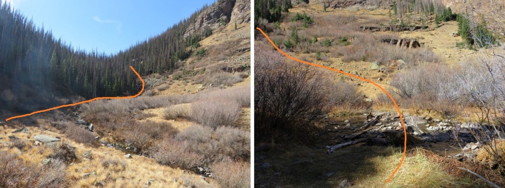
It’s obvious when you reach the gulch, as the mountain starts to back up again. There was a small stream running, and I decided to follow this stream south. I kept crossing and recrossing the stream to find the best route. There were a few animal trails here, and a lot of ducking, climbing, and bushwhacking over fallen trees and through overgrown bushes to get back to the road.
I could have followed Denny Gulch all the way to the road, but ended up coming across a well-defined game trail that headed northwest. I took that for a short distance, and it turned into the remnants of an old mining road that looked like it hadn’t been used in half a century or so.
I followed the old road until it abruptly ended, but I could hear vehicles on the road in the distance, so I aimed southwest towards the road
Once at the road I followed it west back to the trailhead
I made it back to my truck at 12:40pm, making this a 10.72 mile hike with 4839’ of elevation gain in 8 hours.
With the recent snow I wasn’t quite sure what to expect on today’s hike. I drove down road 742 in the dark until it dead-ended. The road was icy in the morning, and not too bad on the way out.
I parked at the trailhead, the only vehicle in the lot (both when I arrived and when I left).
It was 14 degrees outside, so I put on my full winter gear and was on the trail at 6am. The trail starts at the southwest corner of the roundabout, and immediately crosses a stream.
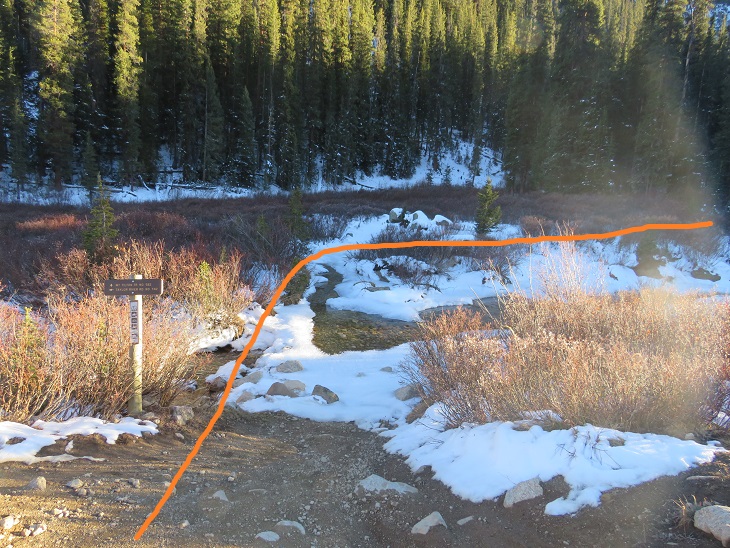
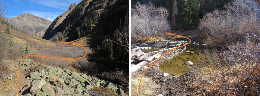
In the morning there was more ice than this photo shows, and the stream was at least a foot deep in areas. There was no way I was starting this hike off with frozen toes, so crossing the stream here wasn’t an option. I spent about 15 minutes searching for a better way to cross (in the dark). I was able to find a good crossing about 15 yards upstream, rock hopped across without any difficulty, and picked up Mt Tilton Trail #582.
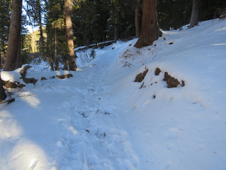
Even with the recent snow the trail was well packed, but not by humans. It was packed down by hoofprints. Some very large hoofprints. There was also fresh moose scat along the trail and a lot of moose tracks, so I kept on the lookout (but never ended up seeing a moose).
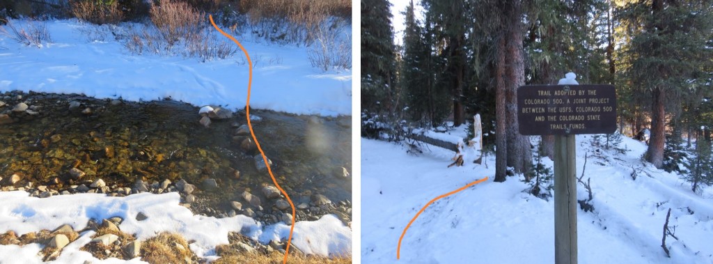
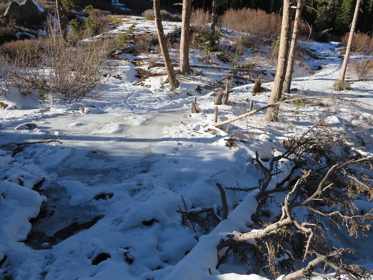
There was one more stream crossing. This one was almost completely frozen over. I didn’t really want to cross it, not being sure of how thick the ice was, but I noticed a set of moose tracks on top of the ice and figured if a moose could cross the stream, so could I. I placed my feet on top of the moose tracks and made my way across.
The trail remained easy to follow, no traction needed. I passed the remains of a log cabin
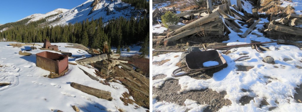
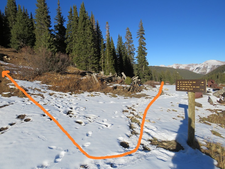
And after hiking for 2.15 miles I came to a second set of log cabin/mining remains and a trail junction. I turned right and followed Taylor Divide Trail #440
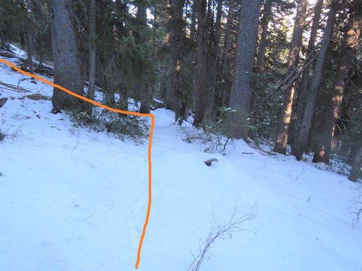
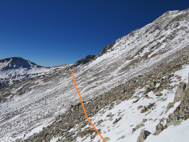
I followed this trail briefly, about one tenth of a mile, until the trail started to head back down, and instead turned left and headed northwest up to treeline. It was about half a mile to treeline from leaving the trail.
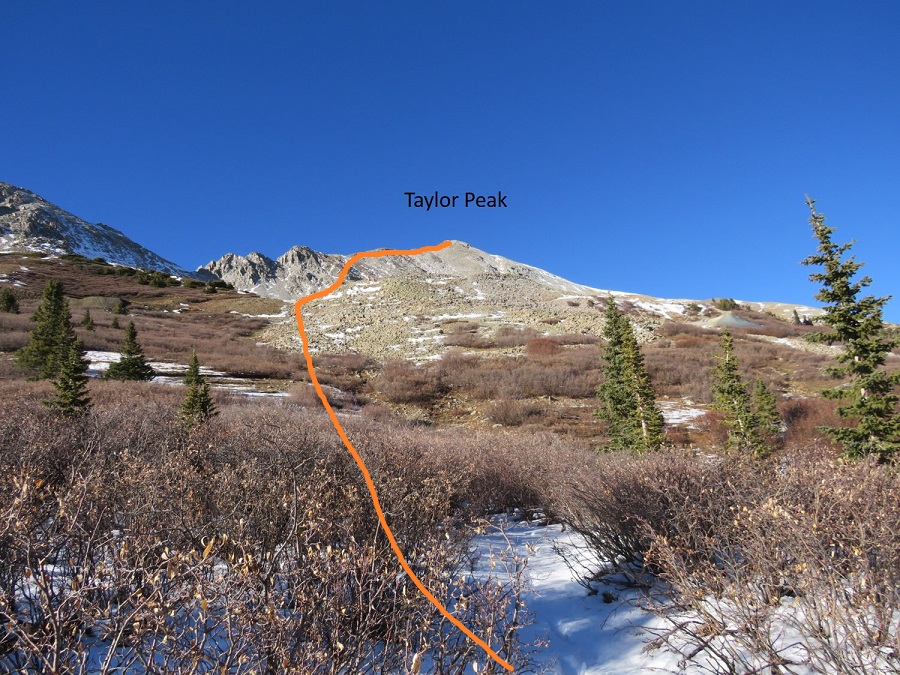
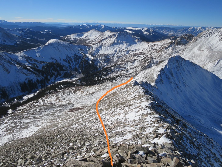
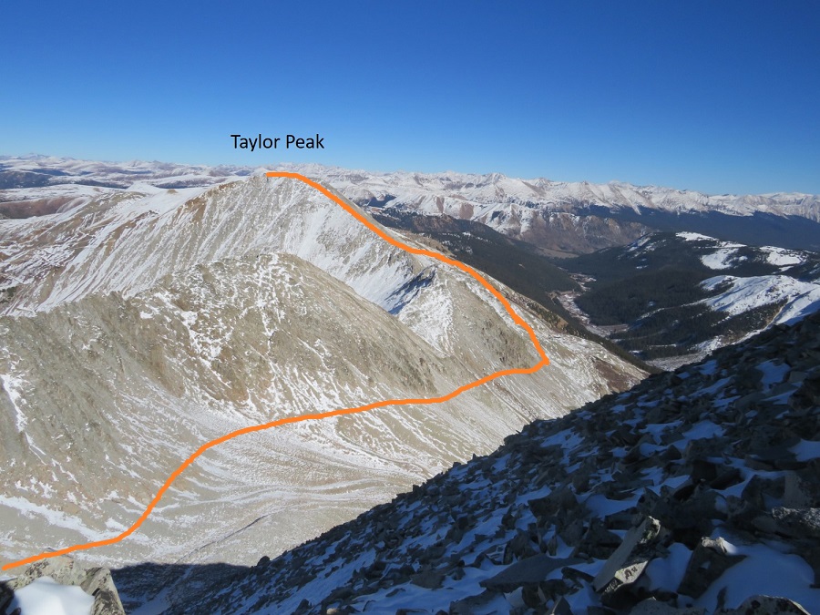
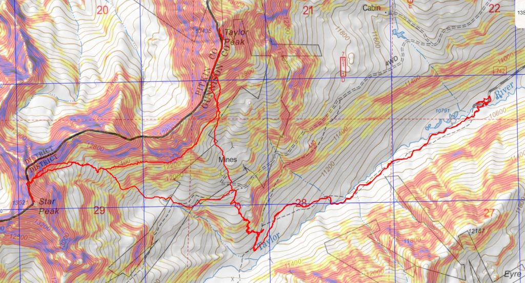
Once at treeline I had a great view of Taylor Peak and how I wanted to summit. Here’s an overview of my route
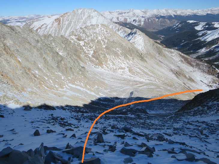
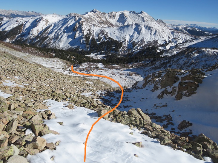
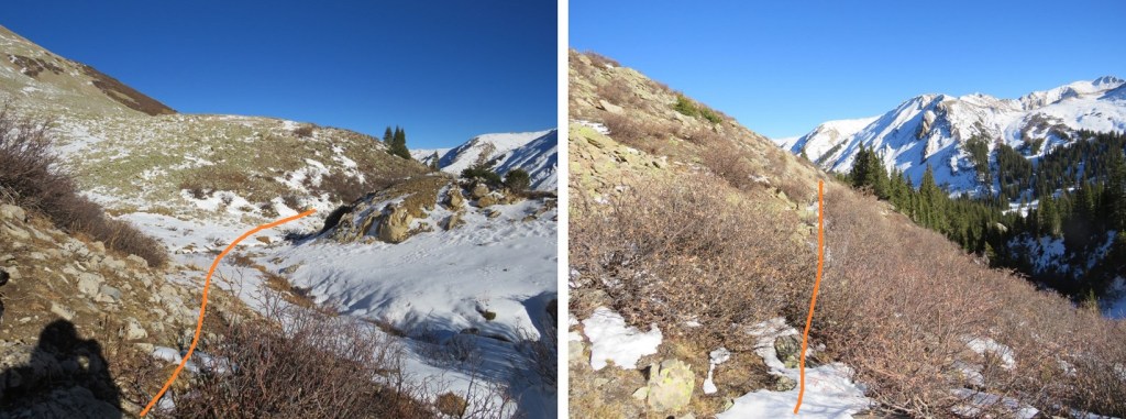
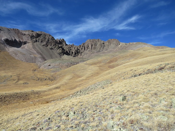
And step by step. I stayed to the right of the willows to gain the basin
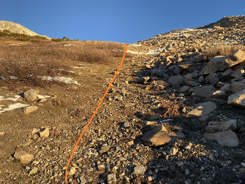
Once in the basin I headed north to gain the ridge
The rocks here were loose, and there was just enough snow to make it slow going, as I had to watch every step. I was worried I’d roll an ankle or plunge into a hole underneath the snow.
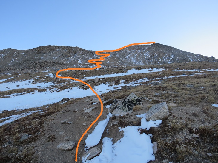
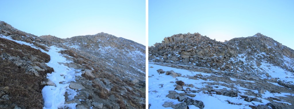
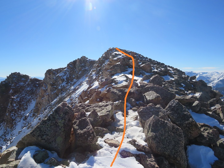
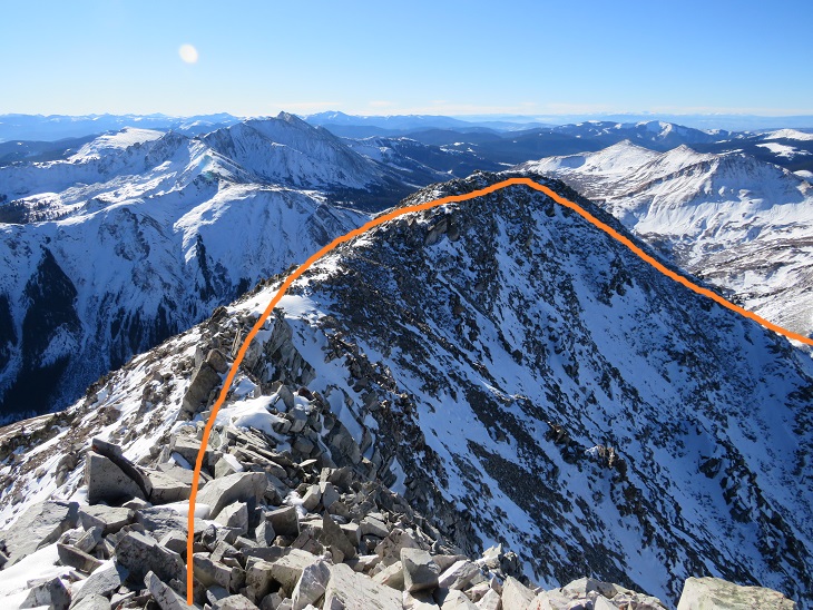
Once on the ridge I followed it north to the summit. There were two false summits before reaching the actual summit
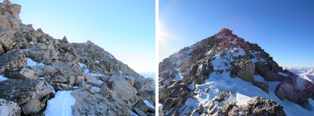
The ridge to the second false summit had some snow to navigate, and what became class 3 climbing due to snow on the route. Sticking to the ridge worked
Here’s the actual summit of Taylor Peak
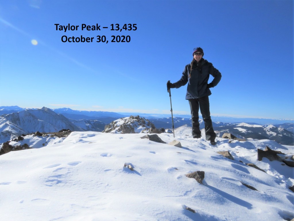
I summited Taylor Peak at 9:40am
Taylor Peak:
It was a bluebird day, so I decided to head over to Star Peak as well. This ended up taking a lot more time than I’d anticipated. There was just enough snow to make me question every step. The snow as sugary, the rocks rolled, and as it started warming up as the day went on the snow became slippery.
Here’s a look at Star Peak from Taylor Peak
The ridge doesn’t look like it ‘goes’ all the way from Taylor to Star, especially towards the end, so from the summit of Taylor Peak I turned and retraced my steps back to the basin.
Once in the basin I stayed high and followed the mountainside west
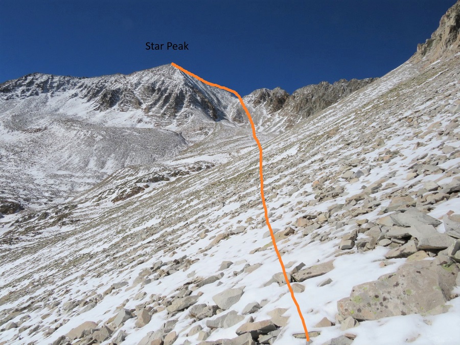
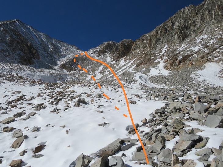
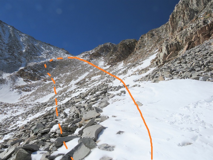
I believe the traditional way to gain the ridge here is to use the gully, but I didn’t like the current conditions, so instead I took a slight ramp to the right of the gully. The rock here was rubble, loose, and not much fun to traverse. However, once I’d gained the ridge and looked down the gully I knew I’d made the correct route choice in todays’ conditions. Here’s my overall route to Star Peak
I took the solid line up, the dotted line down (I’d recommend using the dotted line, as the higher you go here the more loose the rock is)
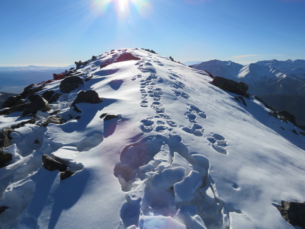
Once on the ridge I followed it south to the summit. This is probably class 2 in summer, but in these conditions it felt like class 3. The ridge goes, but it’s very narrow and the rocks are loose. The trek here was very slow going as I’d step on snow, only to break off a microwave sized rock or plunge several feet into a hole. I used my trekking pole to gauge every step
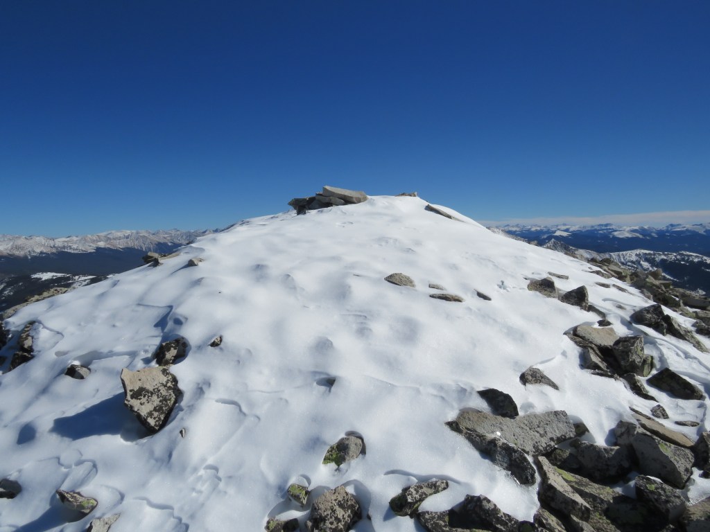
The summit was topped with snow
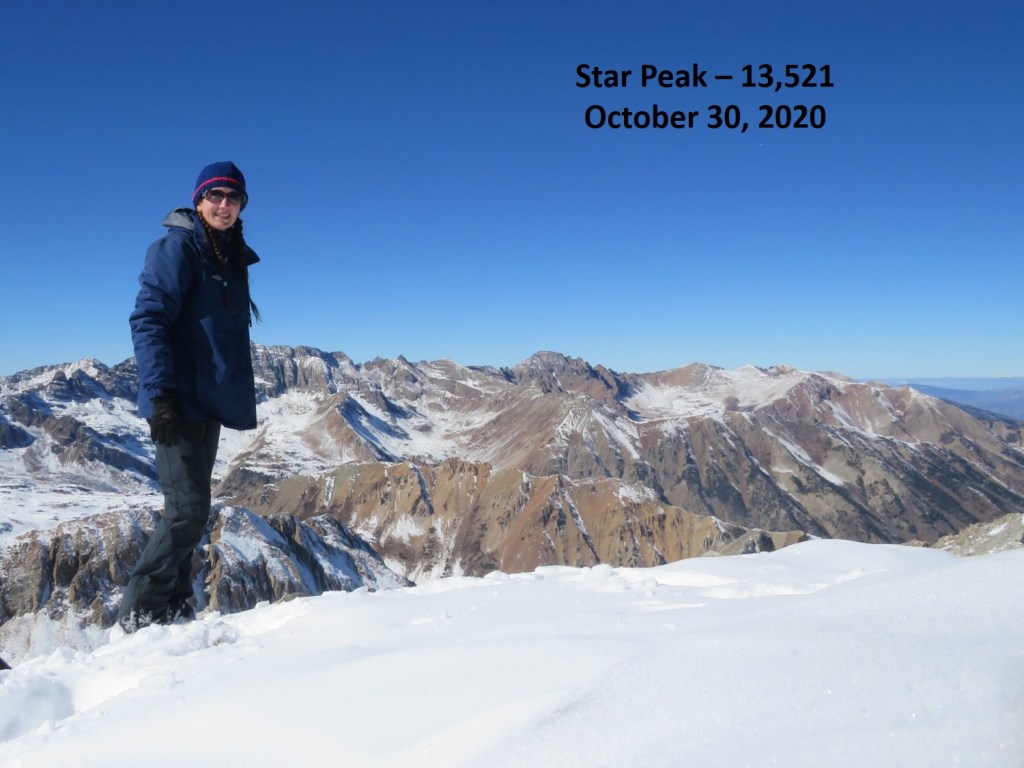
I summited Star Peak at 1:50pm.
Star Peak:
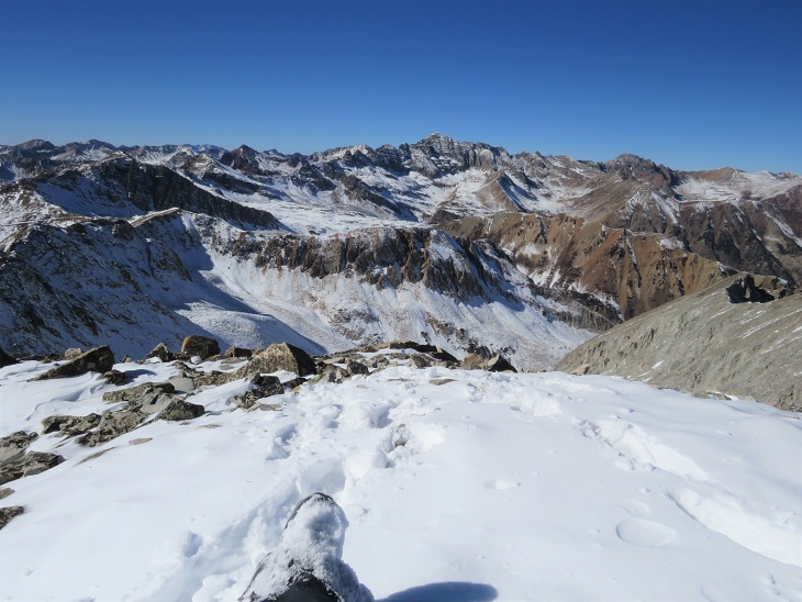
It was a perfect, bluebird day, yet it had taken me quite a while to reach this summit. I sat for a bit to enjoy the view.
Here’s a look at the route from Taylor Peak to the ridge of Star
I headed back down the ridge
And down into the basin.
Once in the basin I aimed for the drainage
Here’s looking back on my route down from the ridge (dotted line) and the traverse from Taylor (solid line)
Once in the drainage I picked up a game trail that led me back to where I’d emerged from treeline.
From here I followed the prints I’d made in the snow this morning south, back to the Taylor Divide Trail
And then back down the basin, over the frozen creek with the moose tracks
Following the well defined trail and crossing the stream that led to the parking area.
I made it back to my truck at 5pm, making this a 13.34 mile hike with 4167’ of elevation gain in 11 hours.
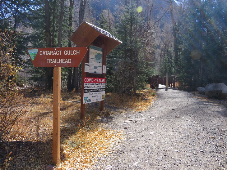
The weather has been outstanding, so I decided to get in one last bicentennial for the year. I woke up at midnight, worked for a bit, and then drove to Cataract Gulch Trailhead. This trailhead has a bathroom (just an FYI). I was on the trail at 6am.
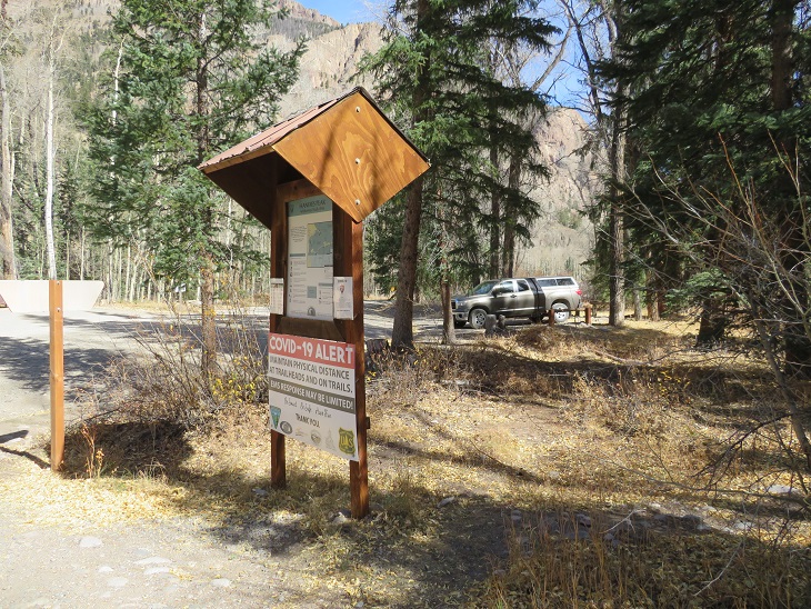
The trail starts at the south end of the parking area, first crossing a bridge, and then a few more smaller bridges (which are new and weren’t here the last time I was in the area) to get across Cottonwood Creek.
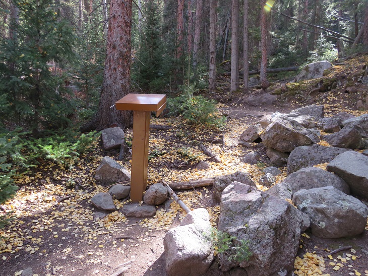
I came to a trail register, signed it, and was on my way
I followed the class 1 Cataract Gulch Trail 475 as it switchbacked south for 3.25 miles
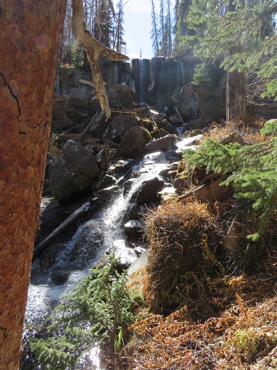
At the top of the waterfall area I crossed the creek a few times (cross the large rock slab first, and then a log)
And came to a boulder field
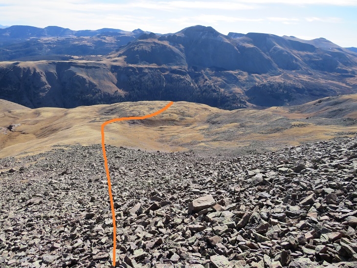
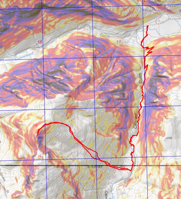
At the top of the boulder field I’d hiked for 3.5 miles. Here I turned right and headed west up the slope. Here’s an overall view of the route. There are many ways to do this, the goal is to gain the upper basin.
The terrain began rocky
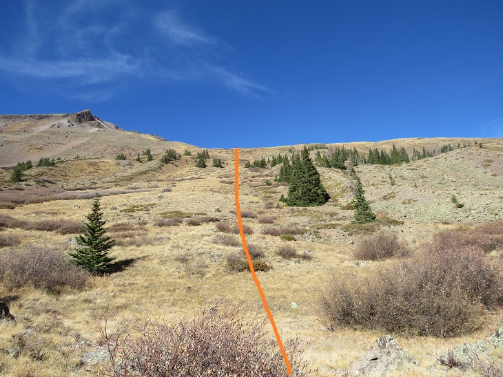
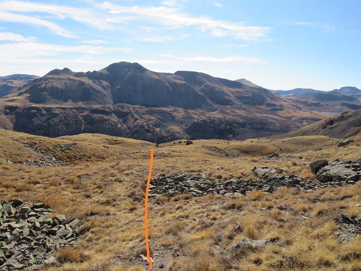
And then changed to tundra
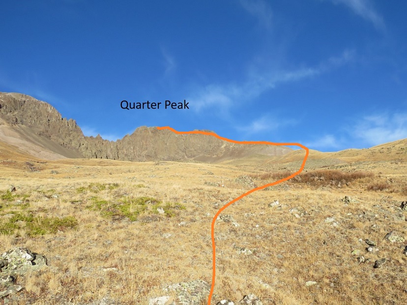
At the top of the hill the tundra started rolling. Here you can see Quarter Peak, and the overall route to get there
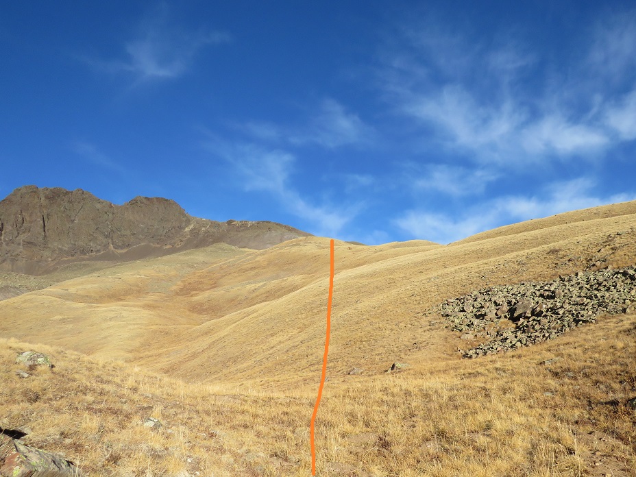
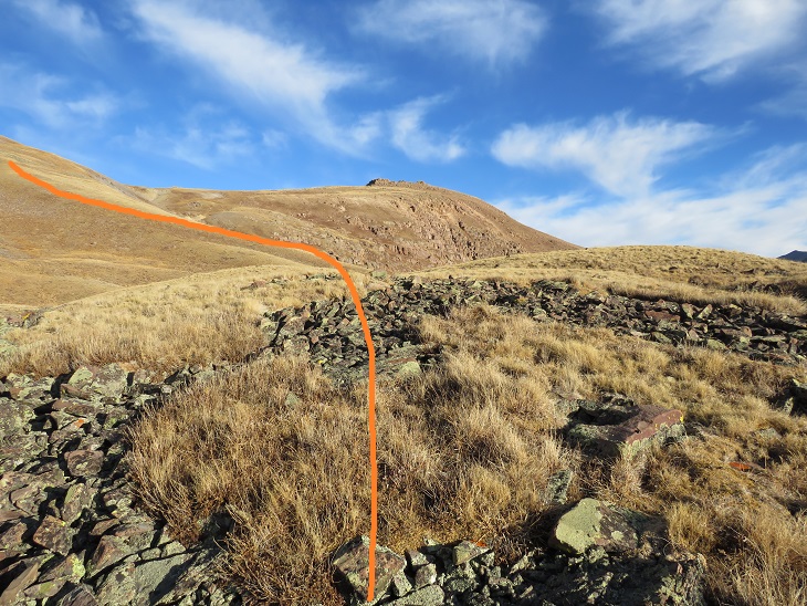
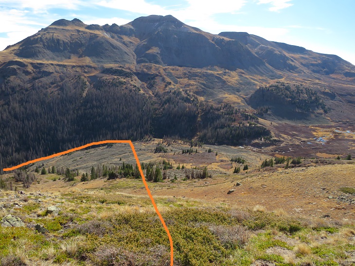
I headed northwest and rounded the upper basin
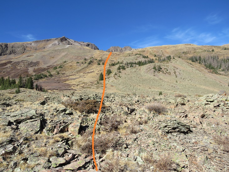
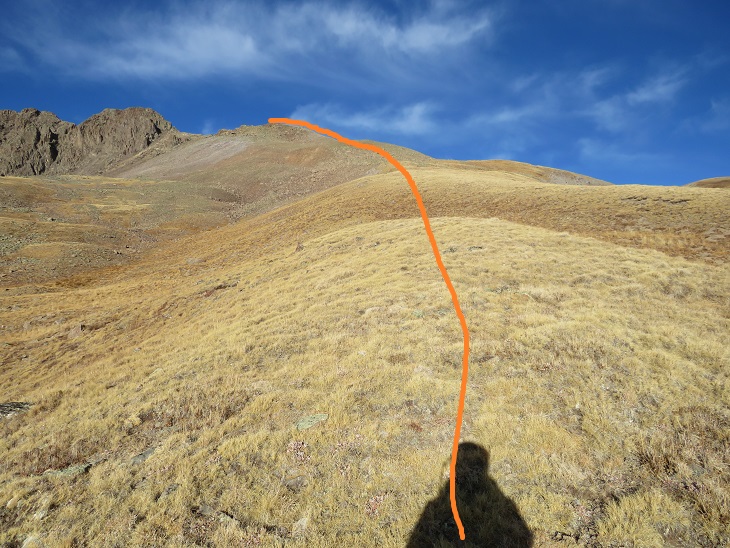
And then turned left and headed up the ridge
This part of the ridge started out as nice, rolling tundra
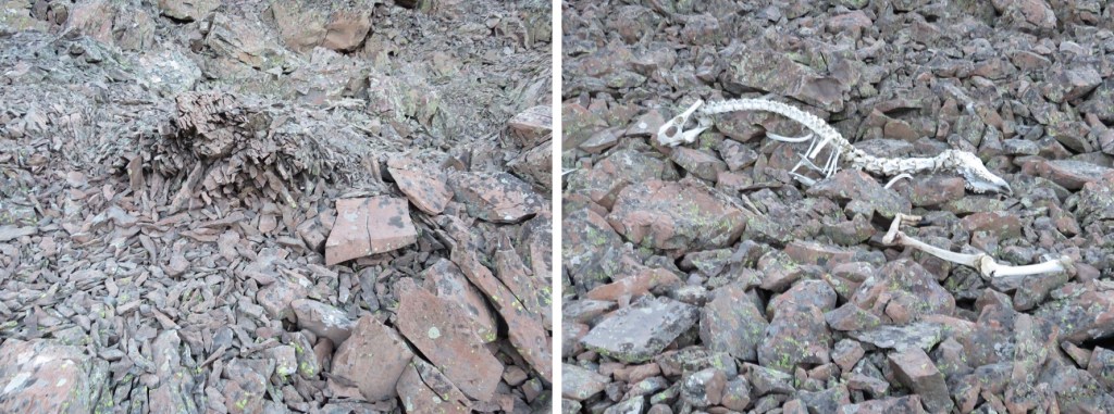
But about halfway up turned to rubbish rock. I’ll say that again: rubbish rock.
Getting to and staying on the ridge is the best option for this part of the hike. The rock is loose, but at least it can’t fall from above
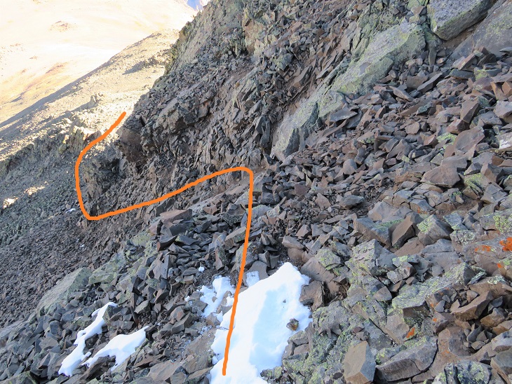
At the top of the ridge I skirted the north side of the mountain for a bit. There’s a gully here, and you’ll want to go straight up it, but don’t (this is a false summit). Instead, ascend about 50 feet up the gully, and then continue skirting the north side of the mountain. This gully is very, very loose, and the terrain changes every time someone ascends/descends.
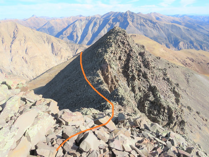
I quickly came to the false summit, and could see the short path to the true summit. This was class 2
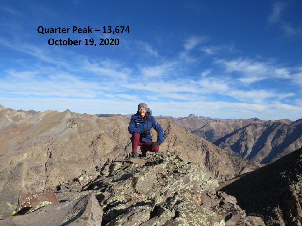
I summited Quarter Peak at 9:30am (unfortunately, I’d lost my sunglasses last weekend camping and didn’t realize this until I was leaving my truck this morning, so I was squinting all day)
Quarter Peak:
This is an out and back trail, so I headed back the way I’d hiked in. Route finding was much easier this time as I initially stayed low before the gully
When I got to the gully it was just as bad going down as it had been going up. Very, very loose.
Then on to the rubbish rock, heading east/southeast down the ridge. This was slow going, as I didn’t want to roll an ankle
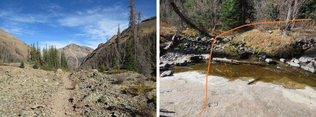
The rock changed to tundra and I turned right and followed the basin east back down to Cataract Gulch trail
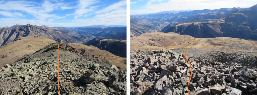
Here are some highlights from the trail down
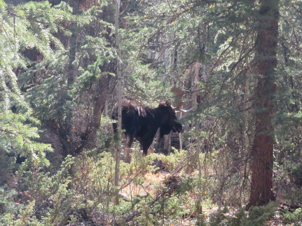
I signed out of the trail register (I’d been the only one to sign it in the past week) and was almost back to the trailhead when I heard a loud rusting. I stopped and turned to my right. No more than 10 feet away from me was the biggest bull moose I’ve ever seen! He was just as startled as I’d been and quickly ran to the cover of denser trees. I gave him plenty of room, and he kept his back to me, so this was the best picture of him I was able to get.
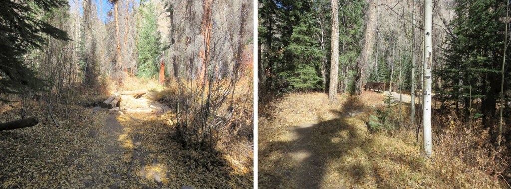
I didn’t stay there long, as he obviously wasn’t in the mood for company. I crossed the creek and made it back to the trailhead
I made it back to my truck at 12pm, making this a 10.3 mile hike with 4227’ of elevation gain in 6 hours.