Mt Rosa – 11,499 and Rain Benchmark – 11,310

1
RT Length: 6.5 miles
Elevation Gain: 2520’
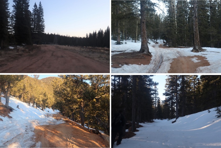
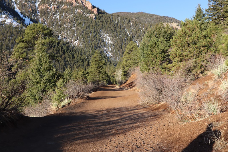
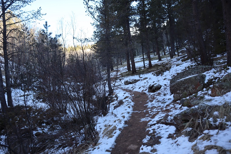
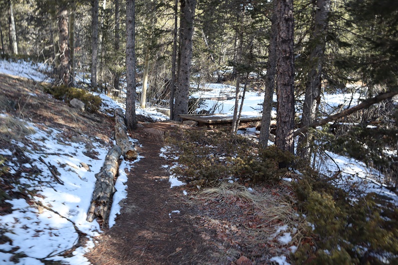
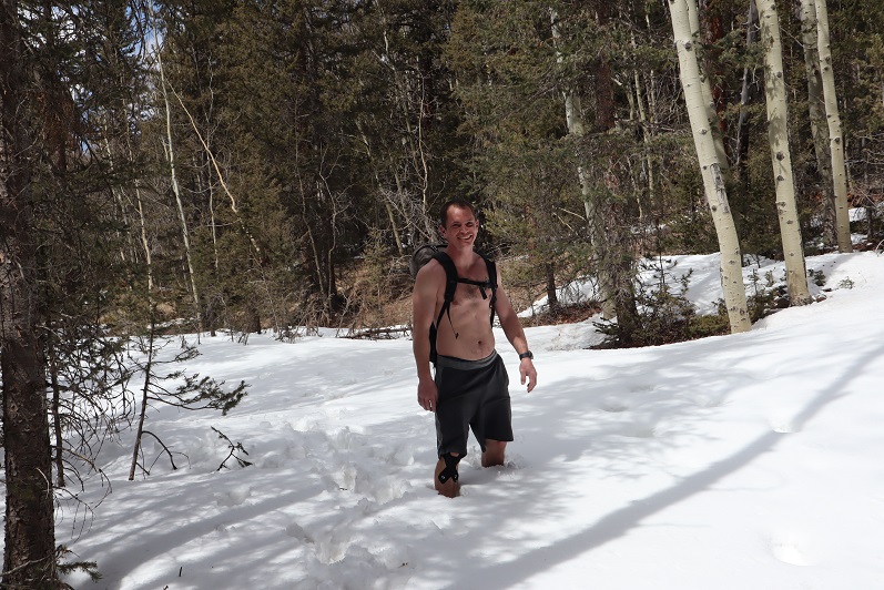
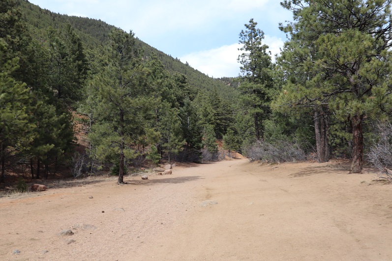
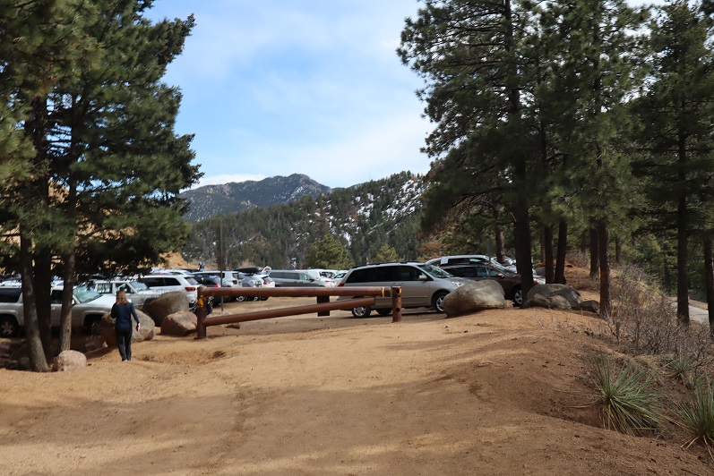
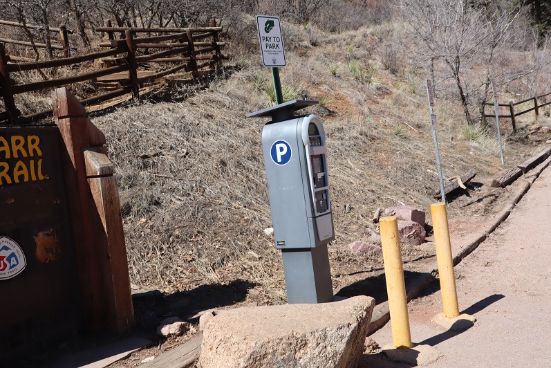
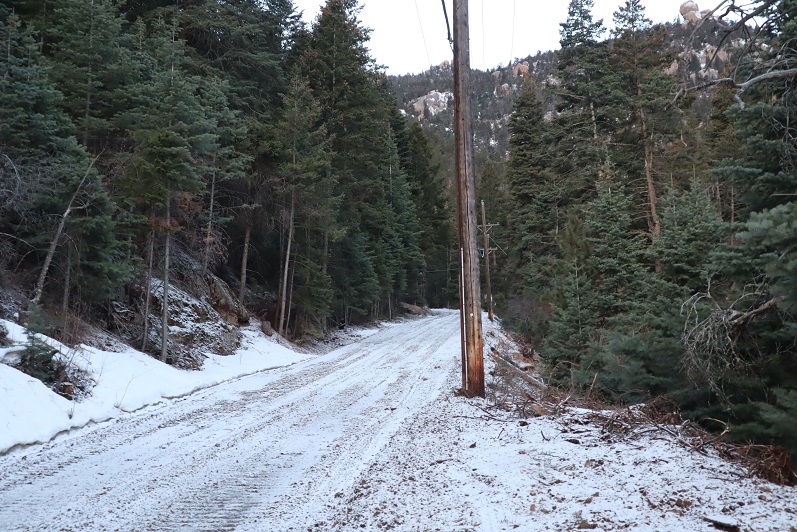
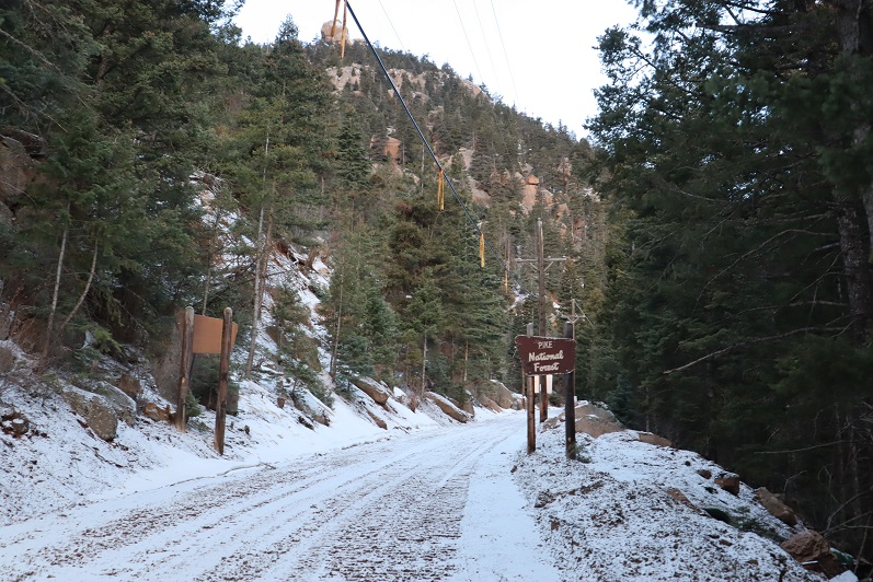
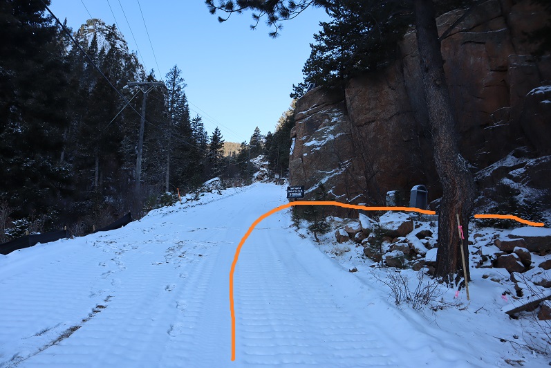
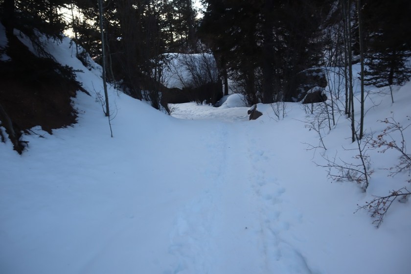
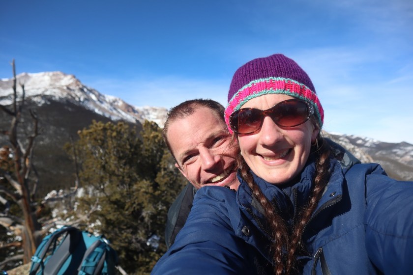
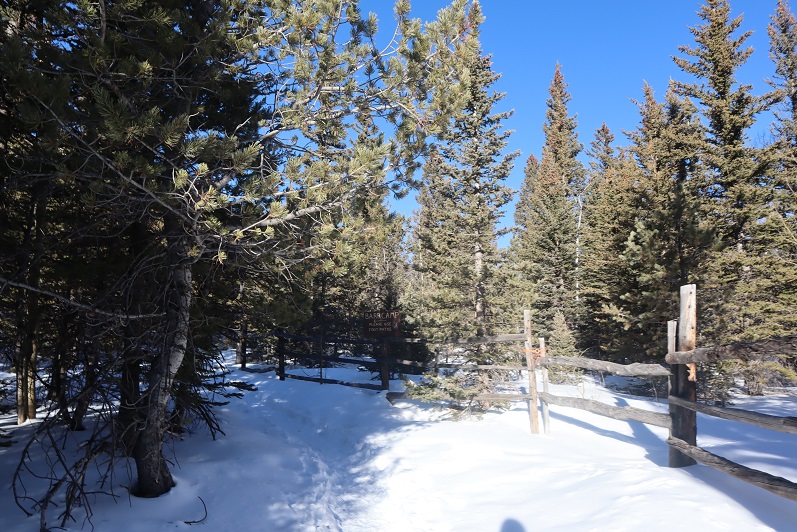
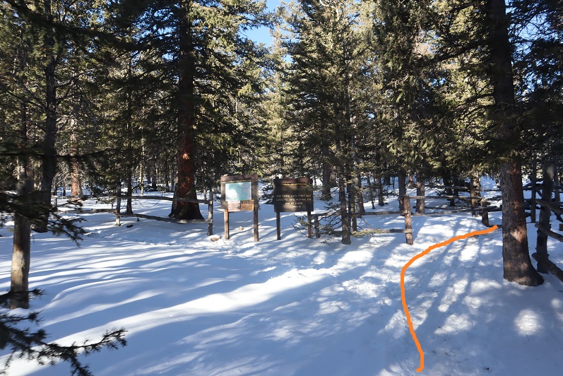
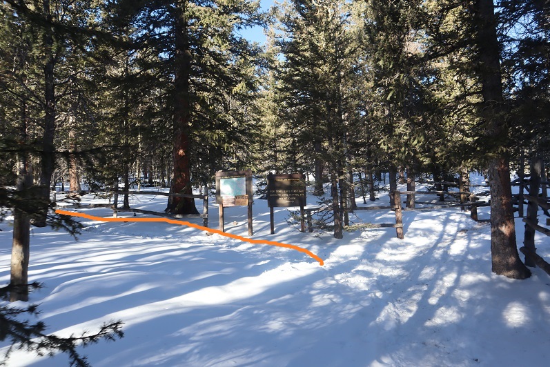
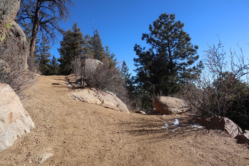
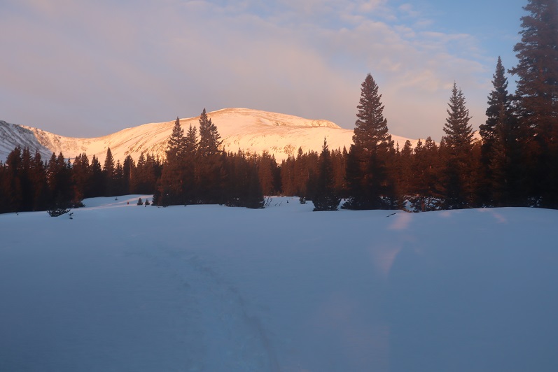
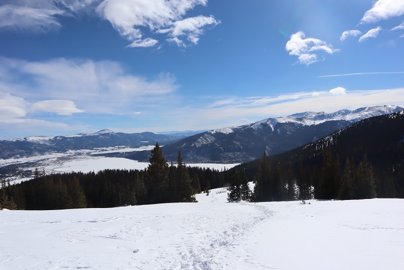
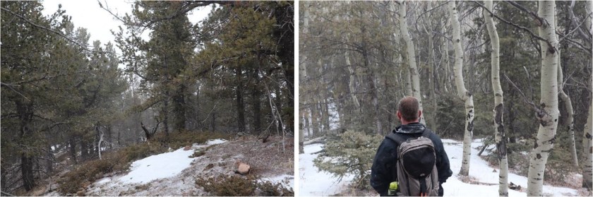
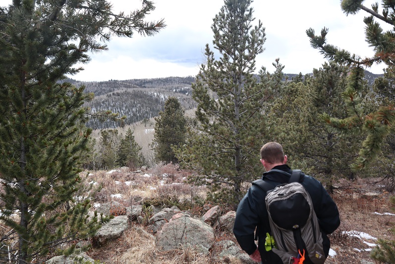
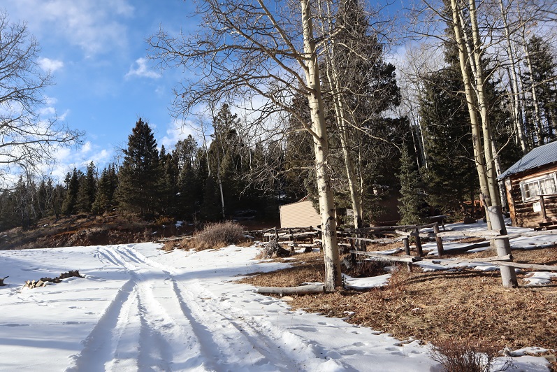
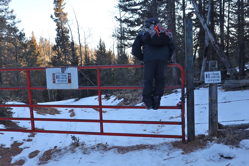
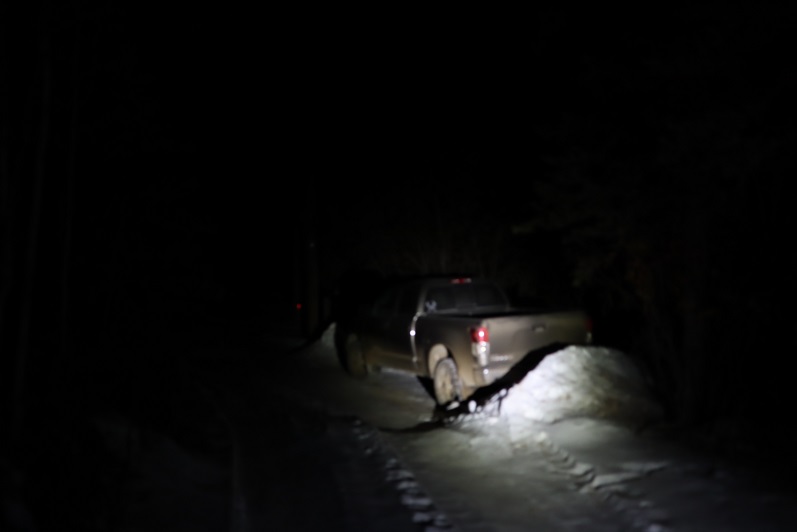
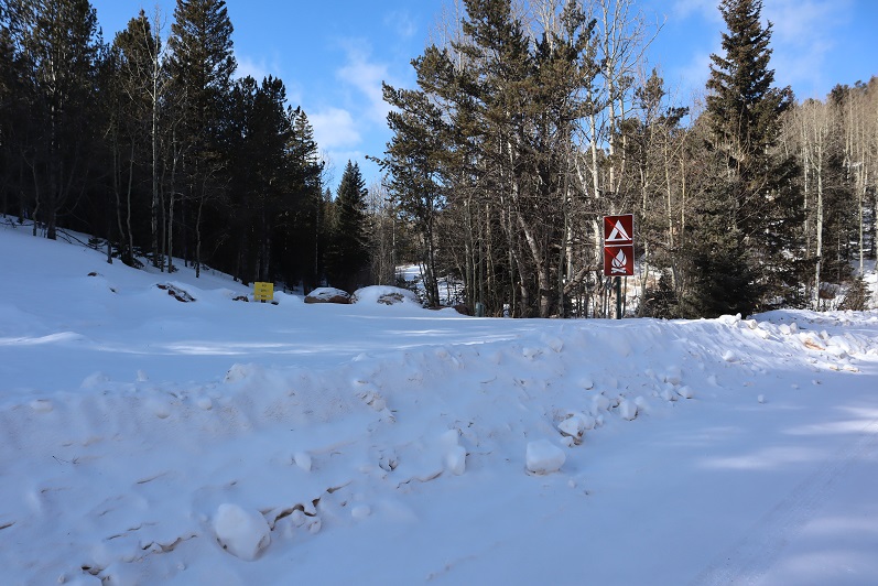
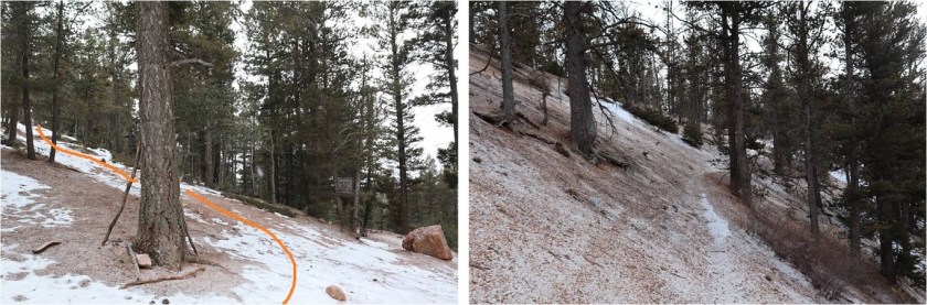
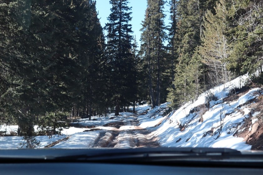
Thinking this would be an easy hike I got up at 2am and worked out on the treadmill for a while before heading over to Steffens house at 4am. His truck is lifted and we wanted to see how it handled as compared to mine on the 4WD dirt road (pretty similar actually). We started from Frosty Park, the same place we began last week. Rain was predicted by 1pm so we wanted to be on the trail early. We started at 6am when it was just light enough not to need flashlights, crossing a fence and hiking east along a faint trail.

2

I was immediately a bit upset, as one of my microspikes had broken. I could still wear the spike, but the chain was loose and it made an irritating clanking sound every time my foot hit the ground. Mental note: get new spikes before my next hike.
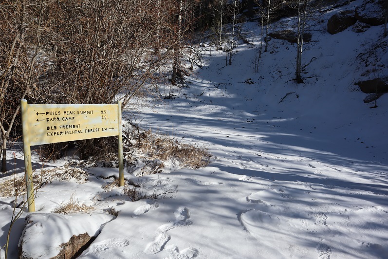
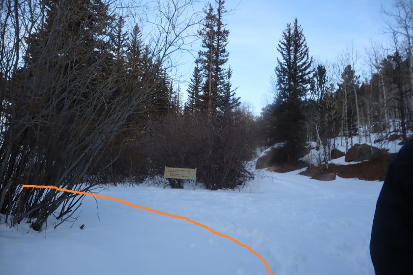
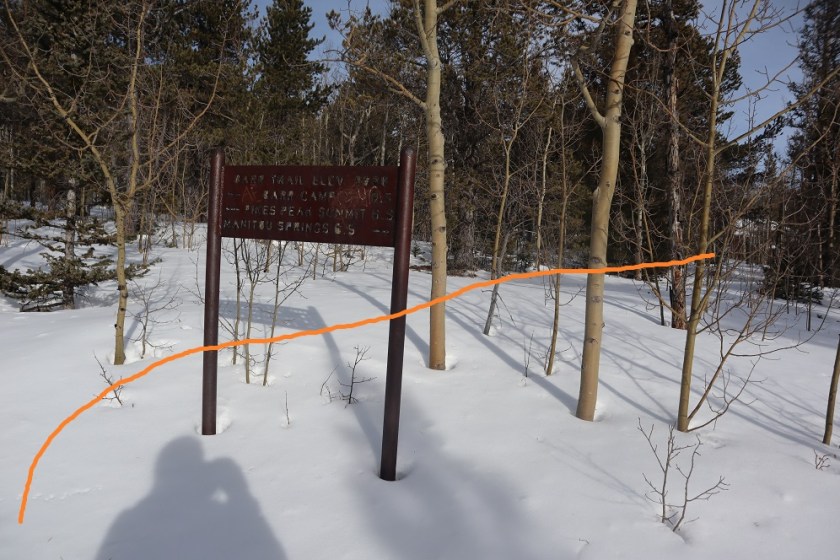
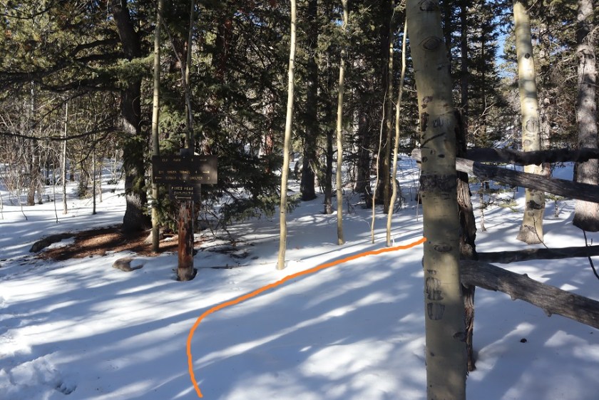
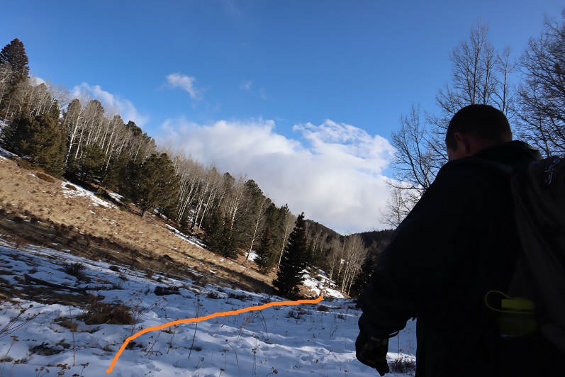
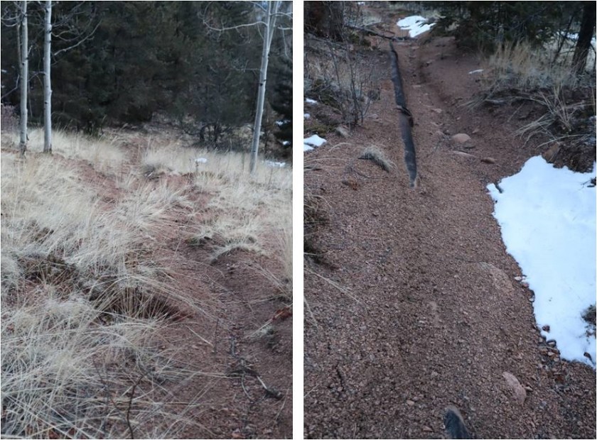
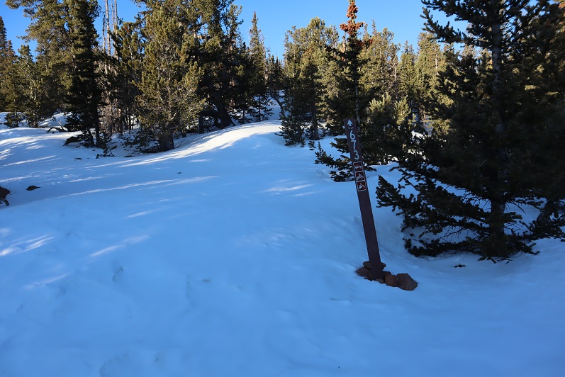
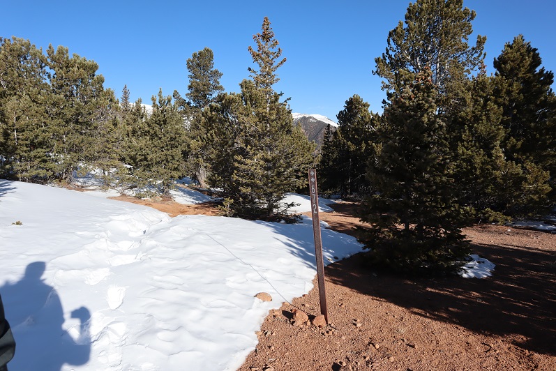
We turned right onto trail 672 and began retrenching an old trench, following the mountainside and losing elevation as we went.

3

4

5

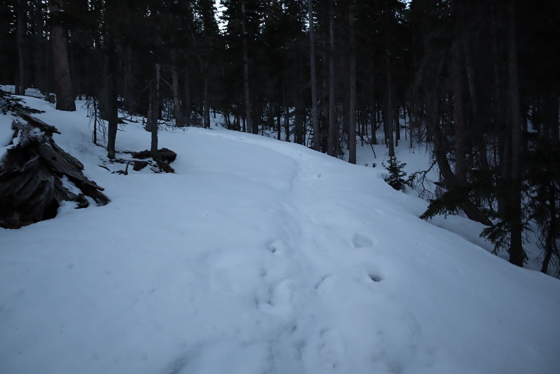
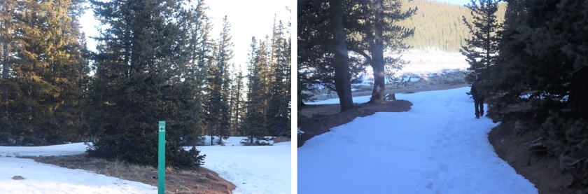
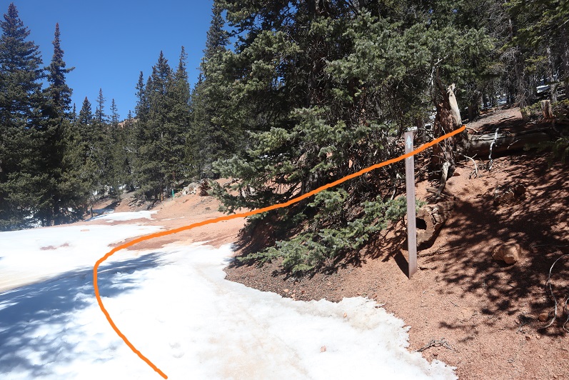
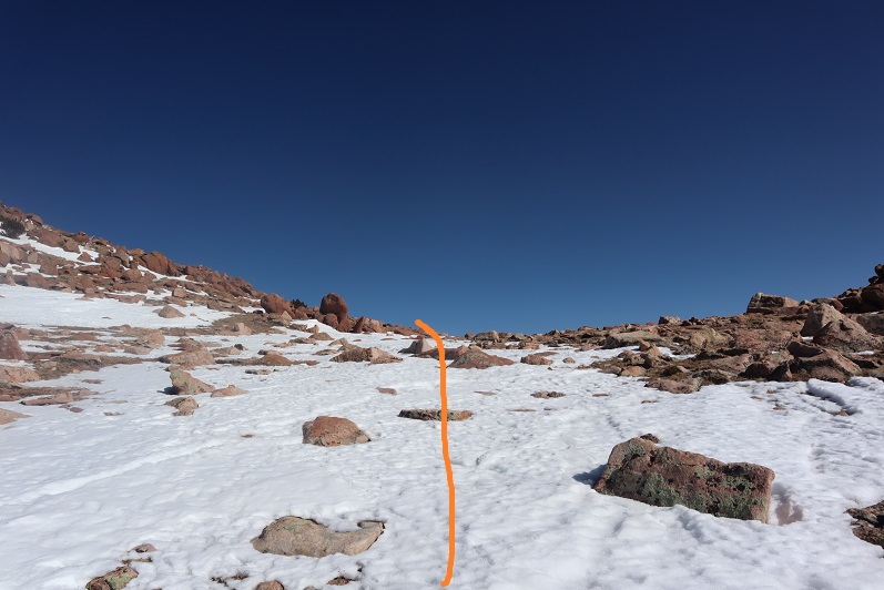
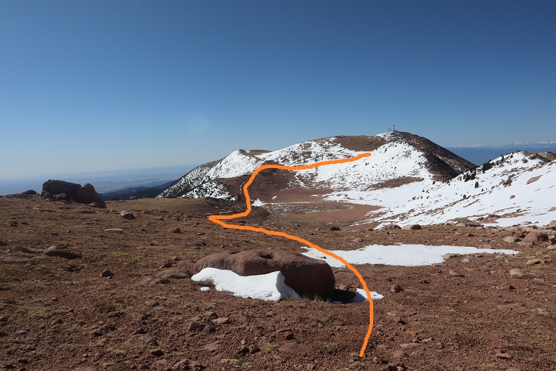
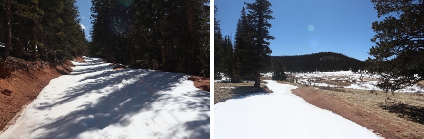
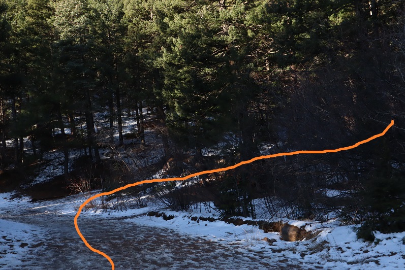
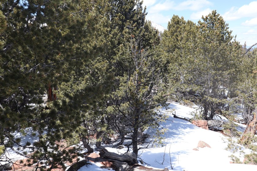
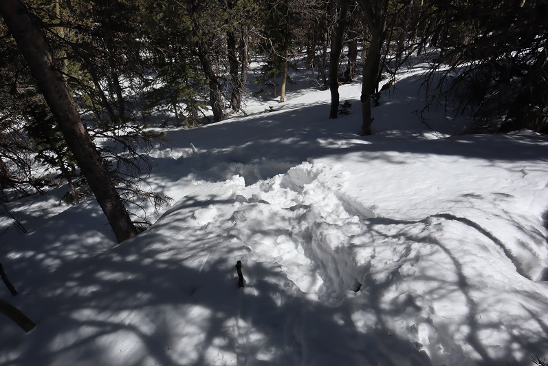
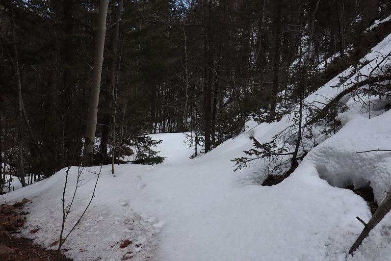
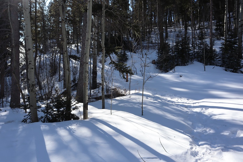
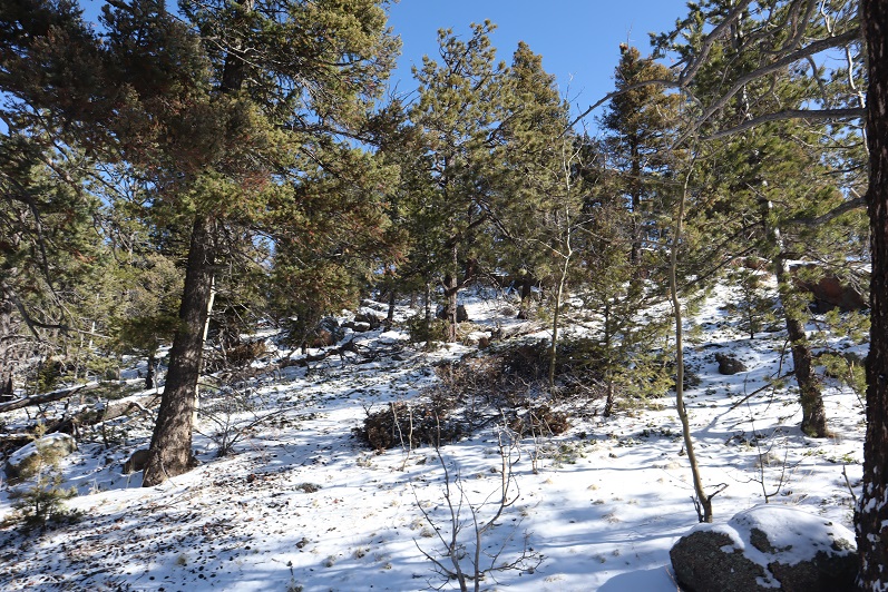
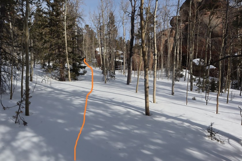
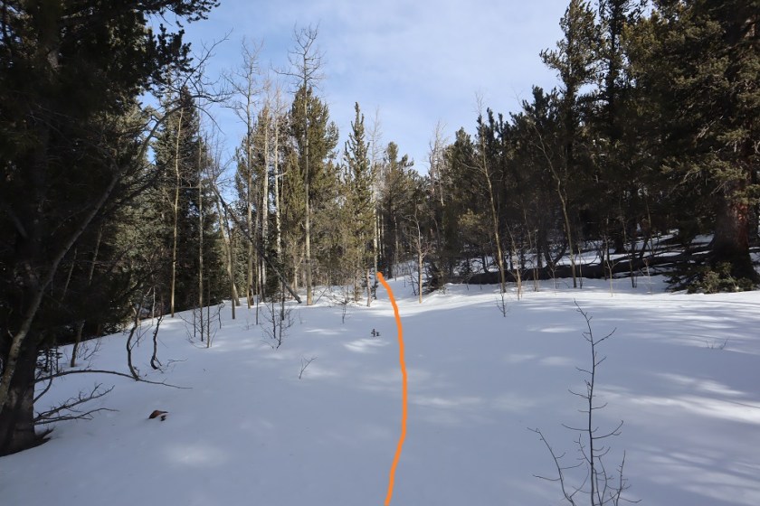
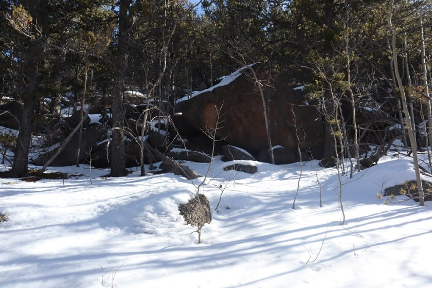
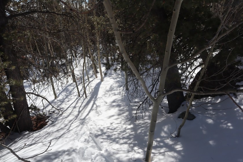
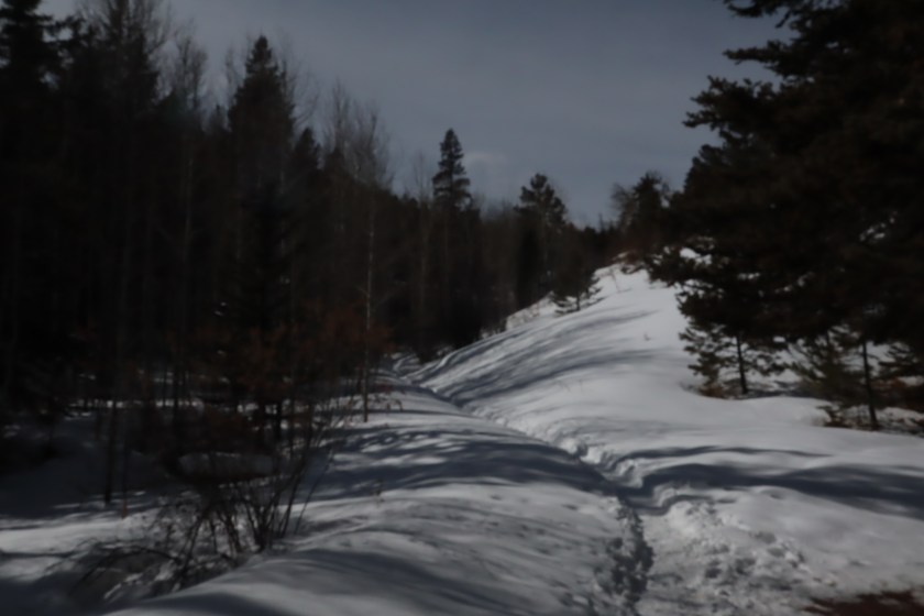
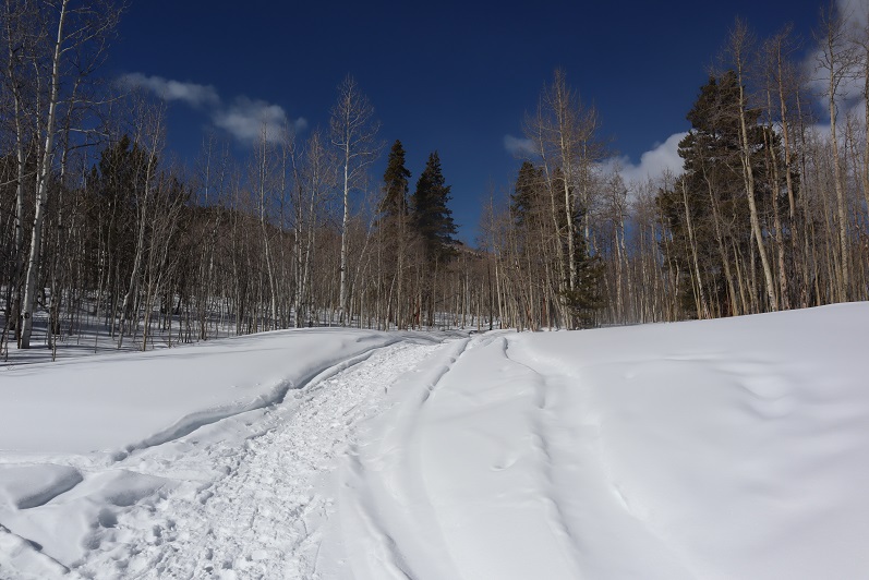
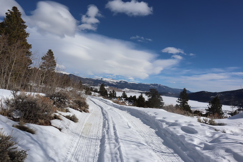
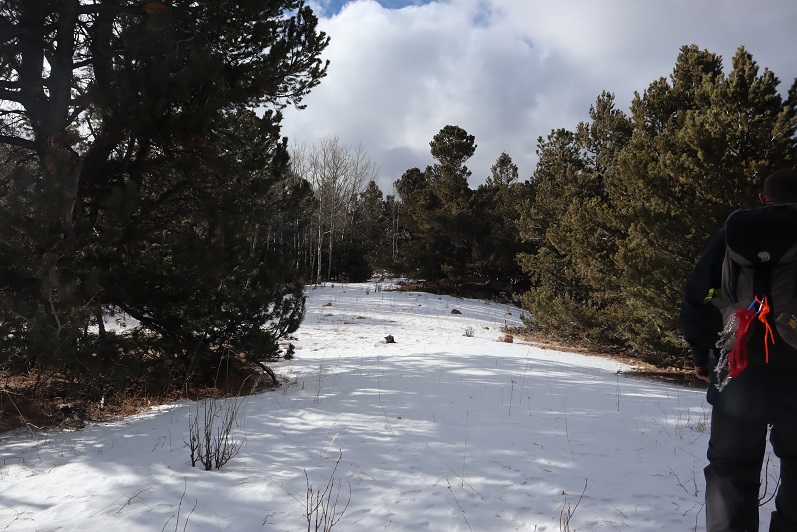
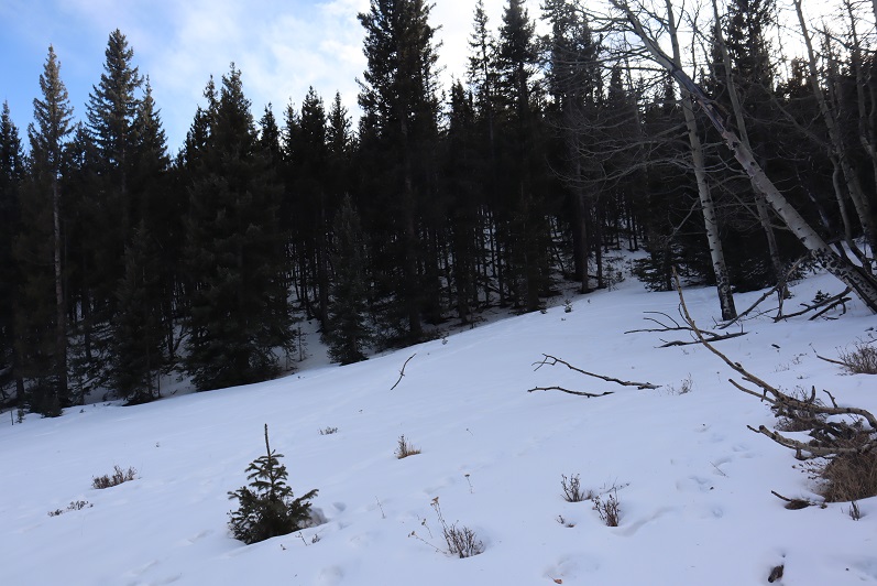
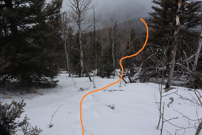
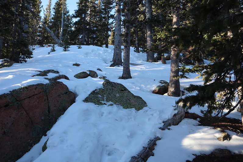
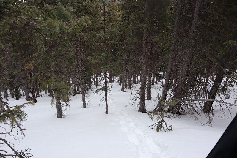
After 1.5 miles of hiking we turned right (south) onto 673 and encountered a lot of snow.

6

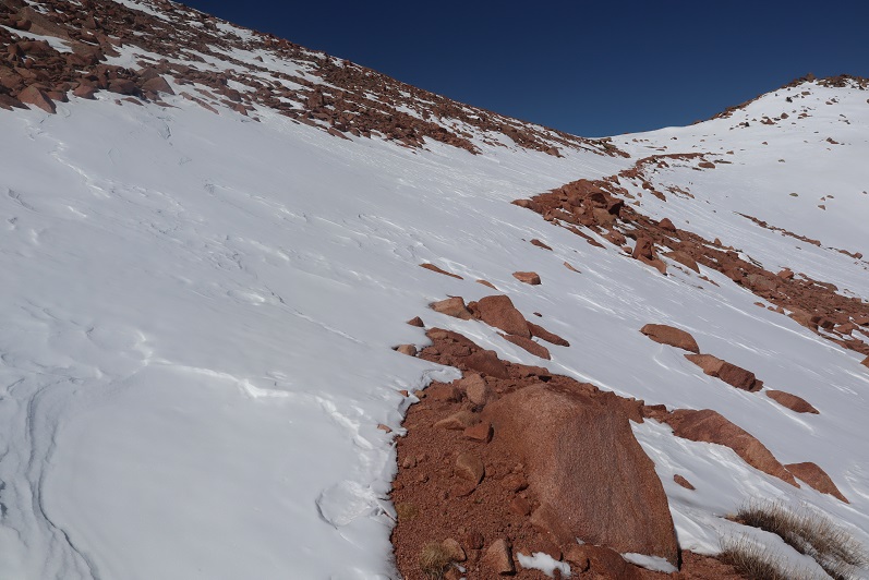
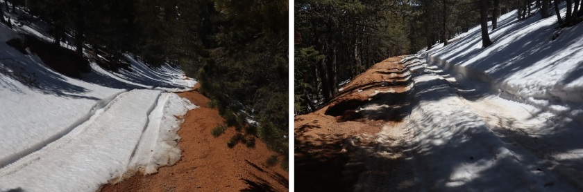
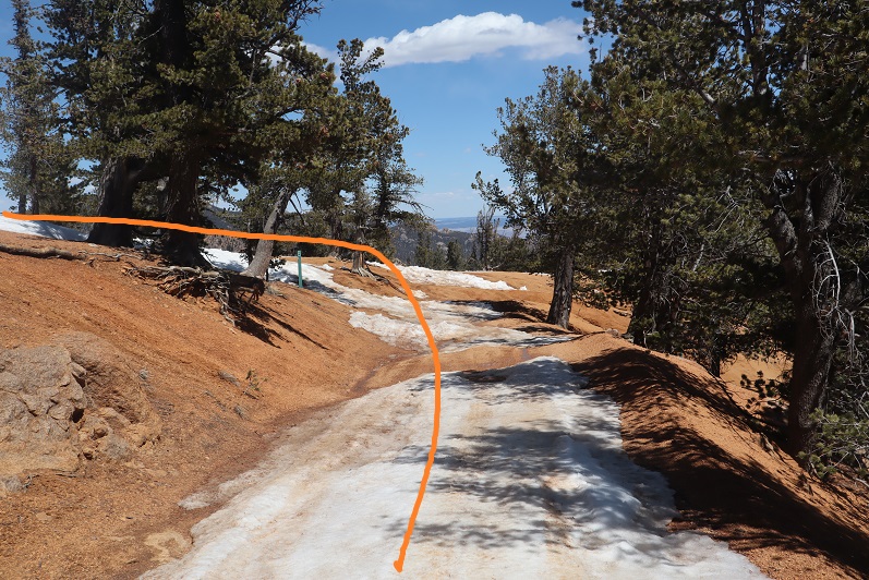
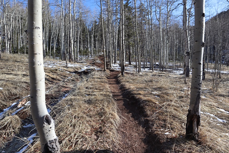
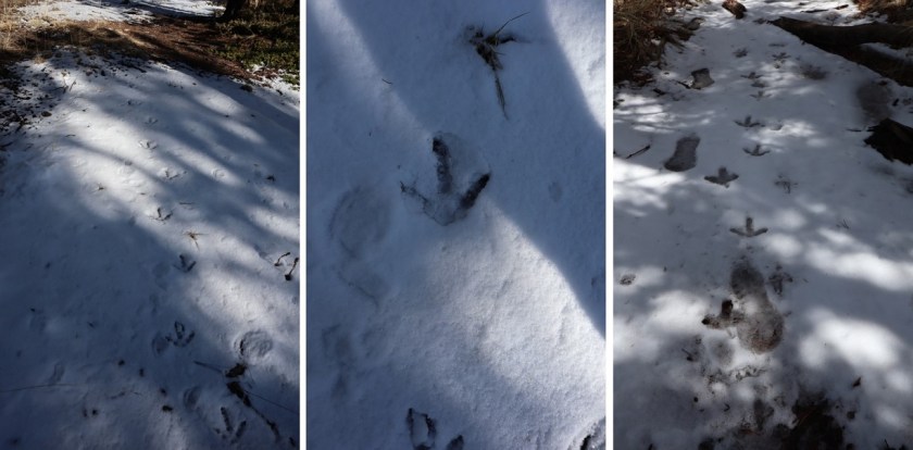
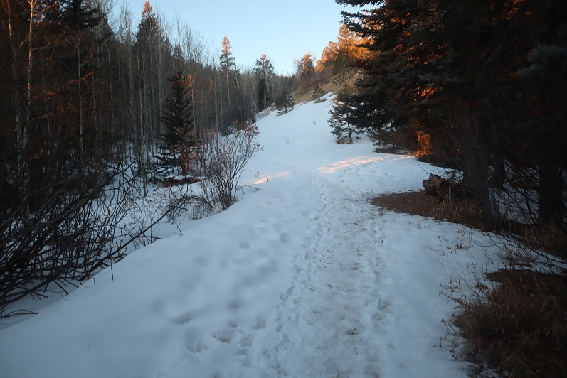
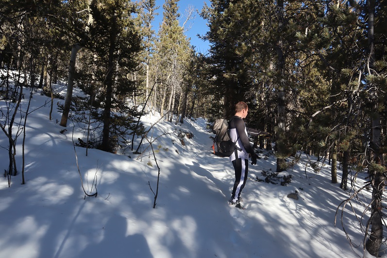
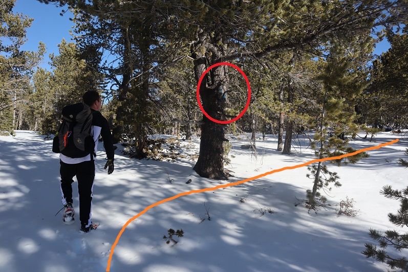
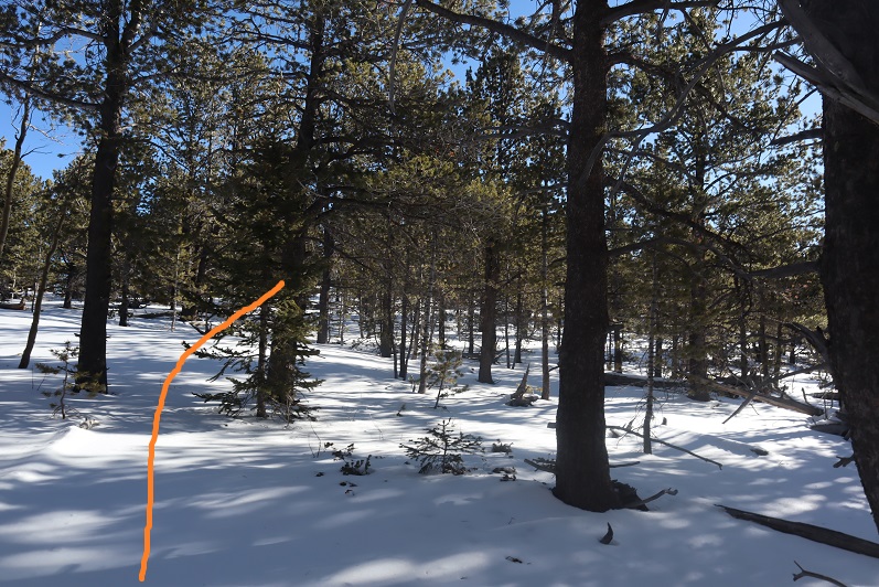
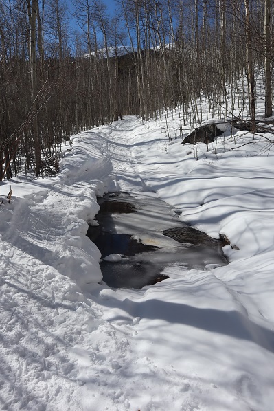
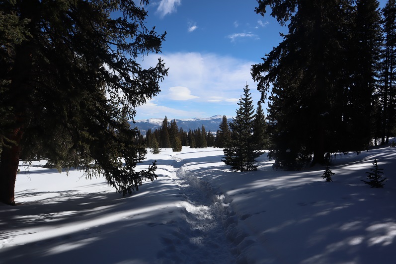
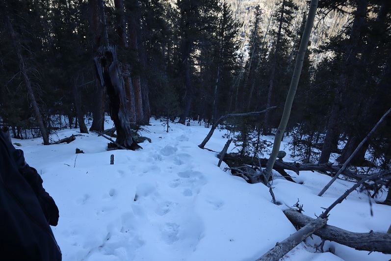
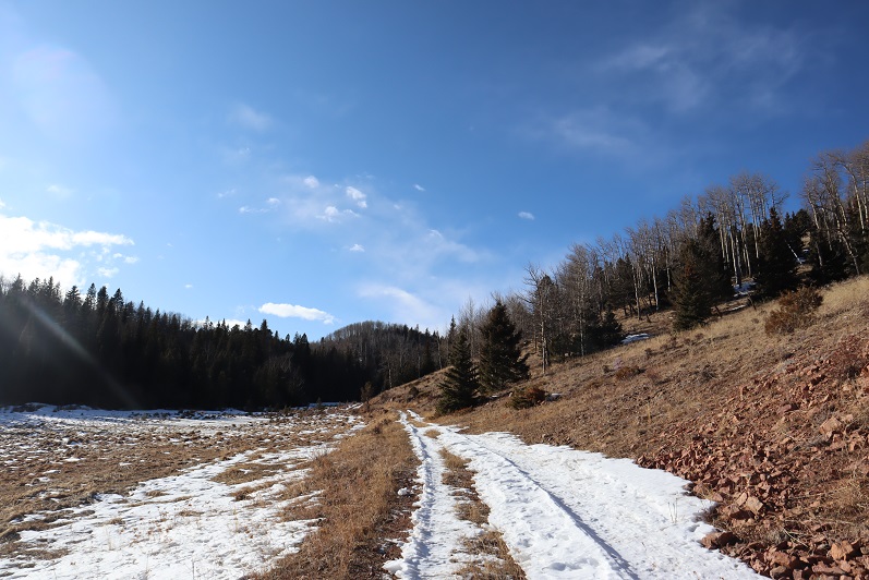
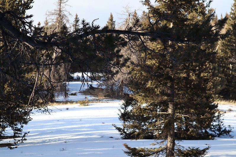
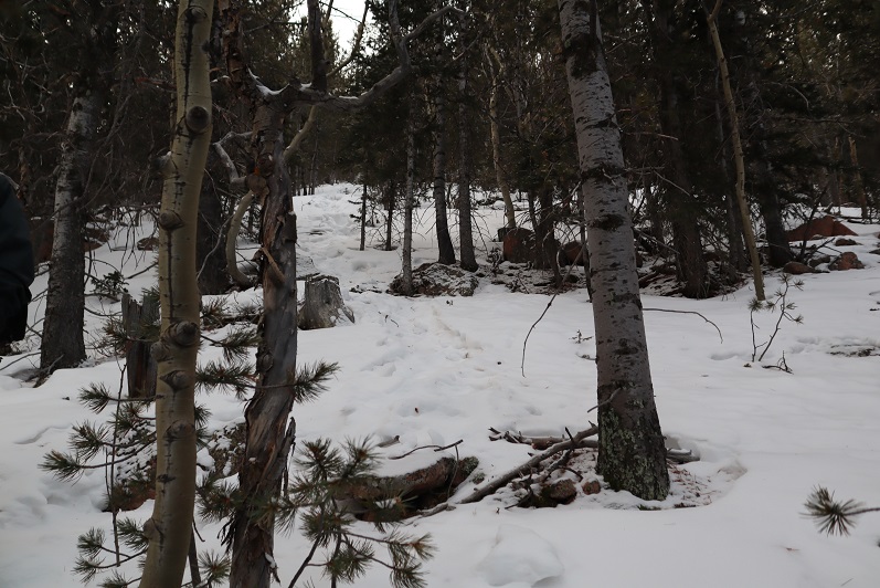
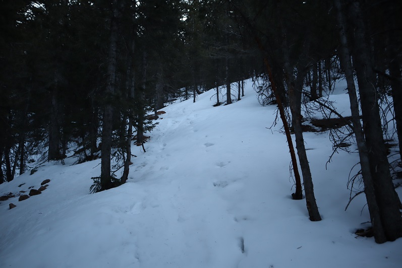
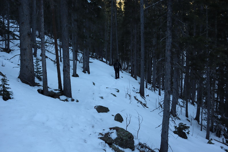
In some places an old trench was visible so we tried to follow that whenever possible, but at other times we just made a new trench. Snowshoes weren’t needed this early in the morning.

7

8

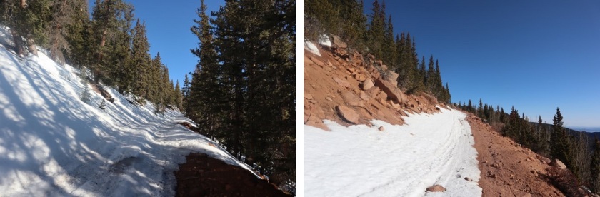
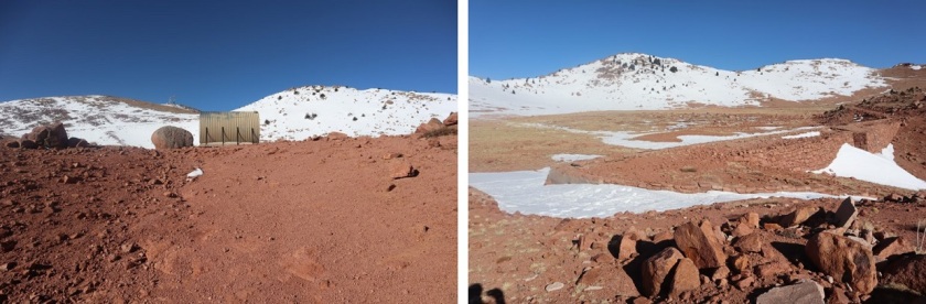
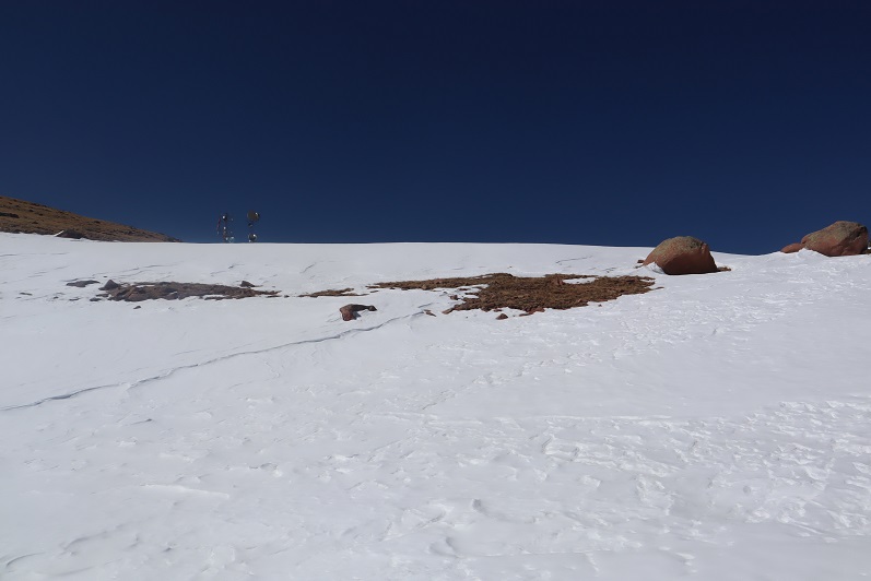
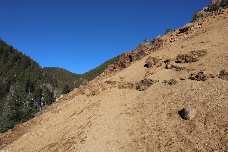
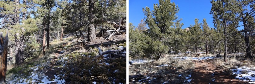
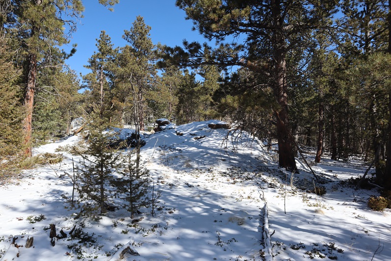
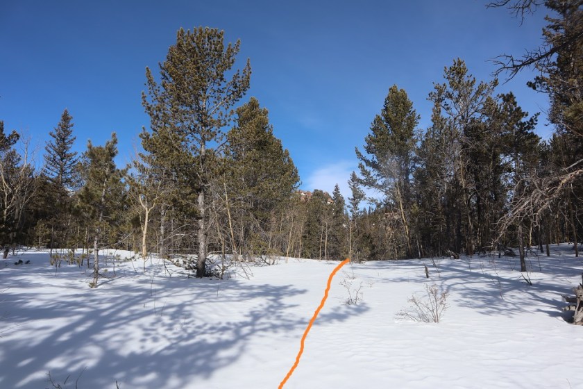
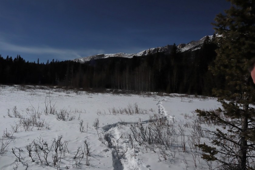
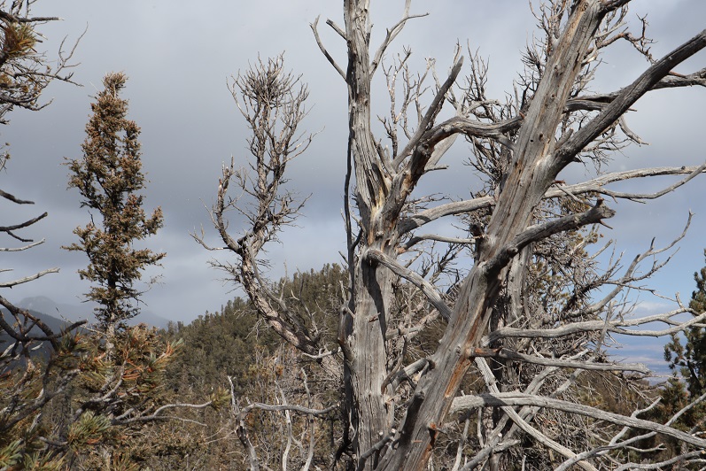
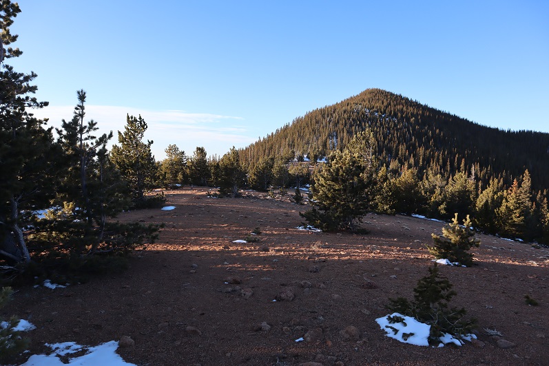
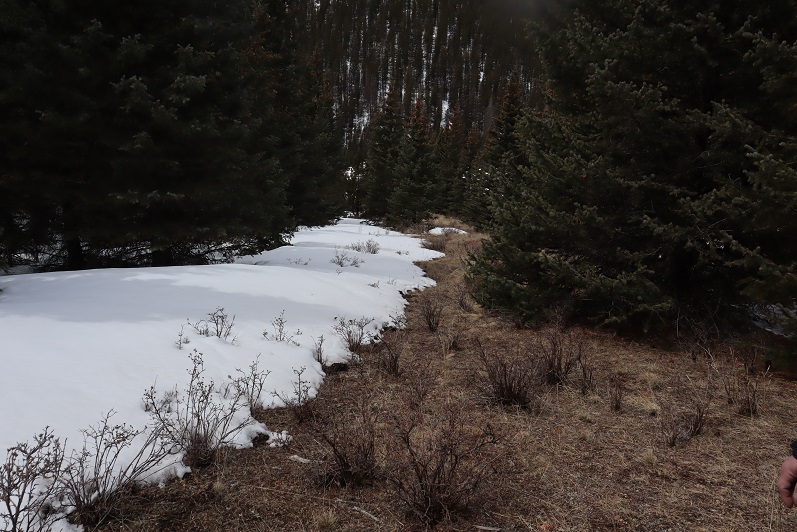
There was a windswept area
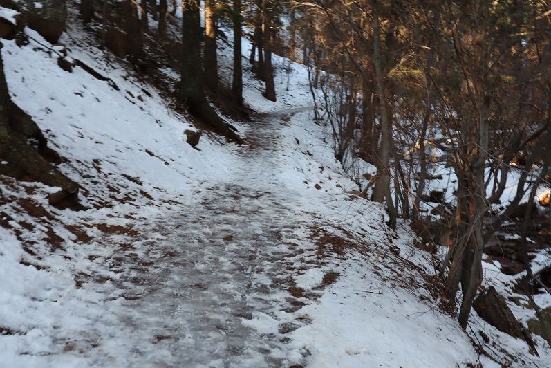
9

And then more snow.

10

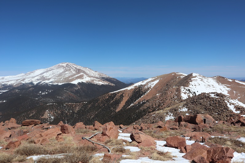
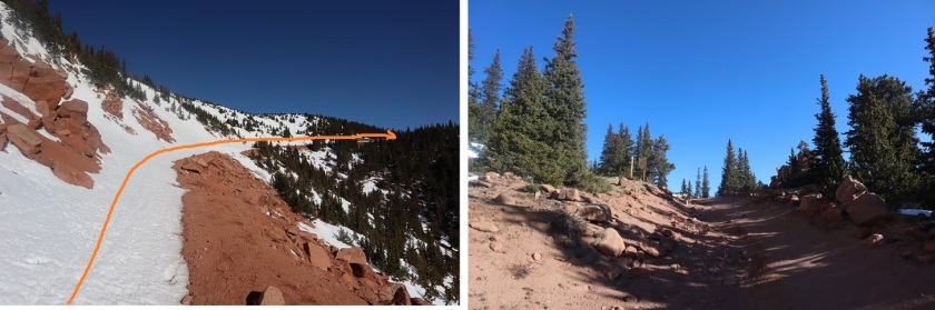
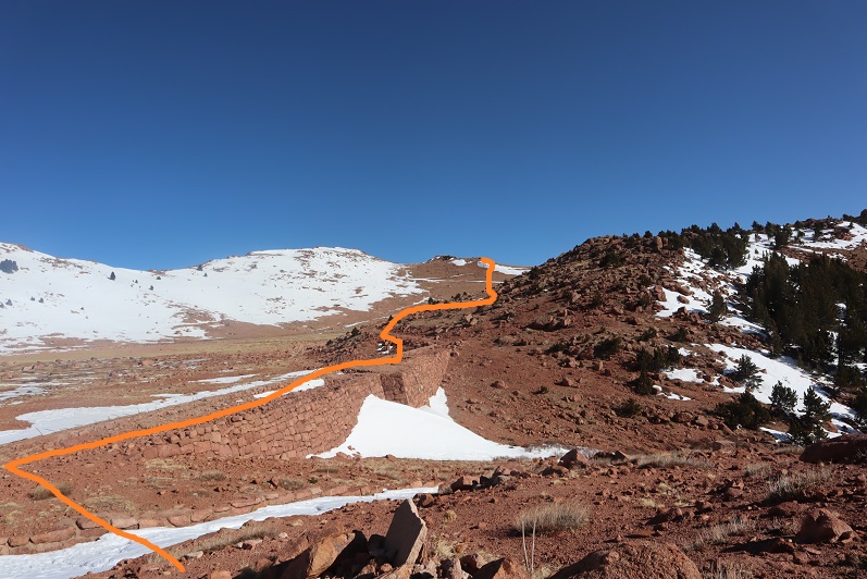
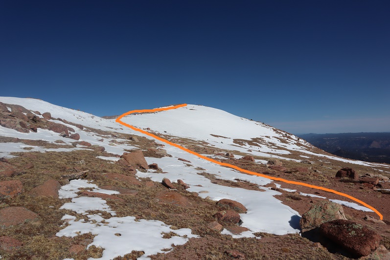
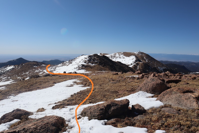
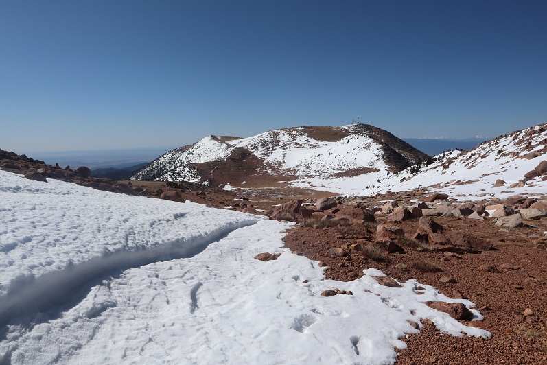
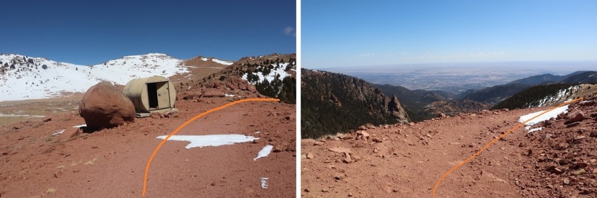
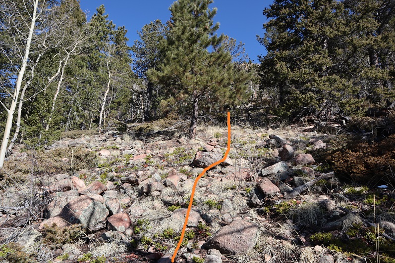
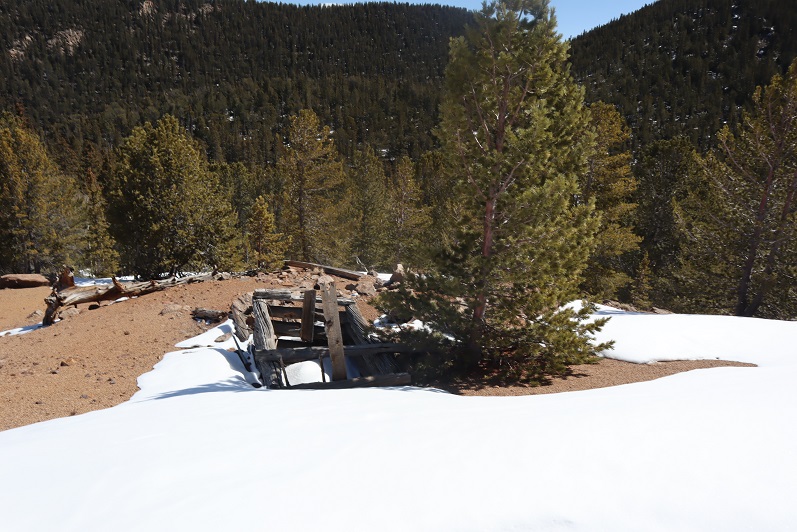
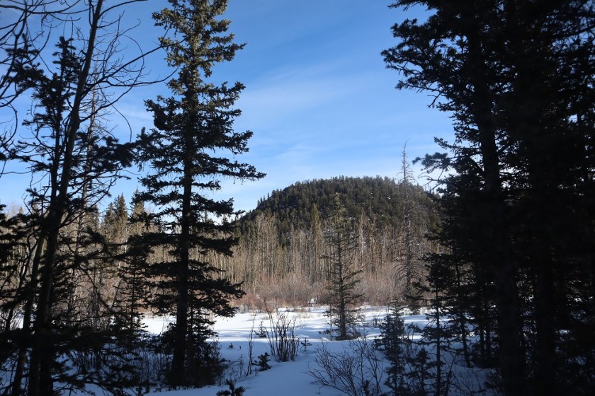
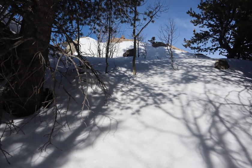
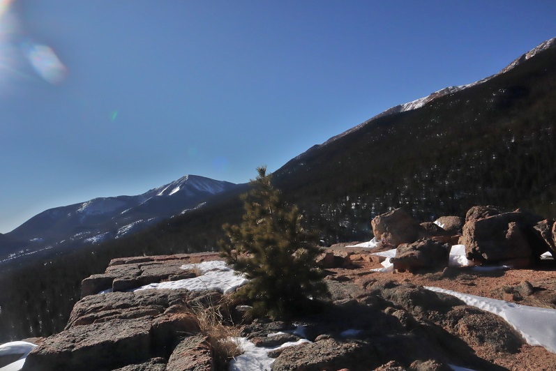
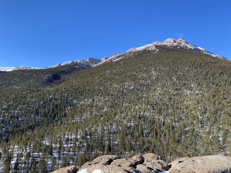
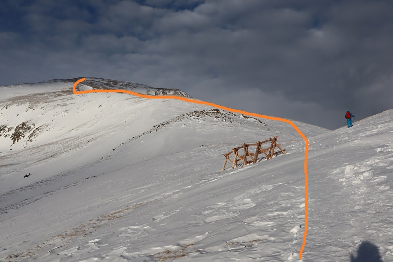
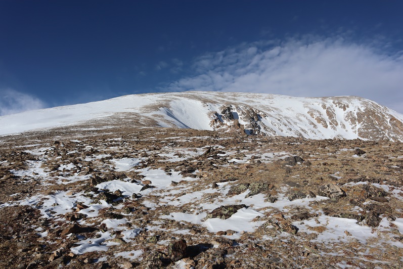
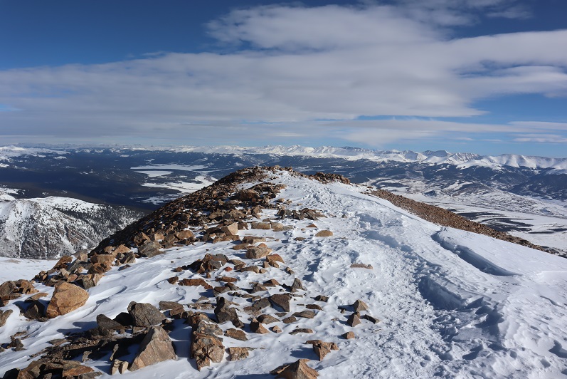
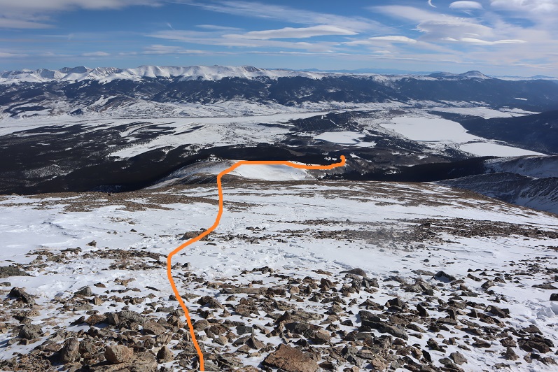
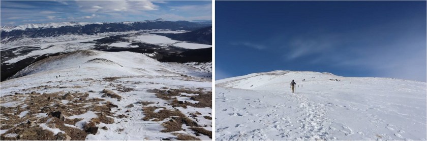
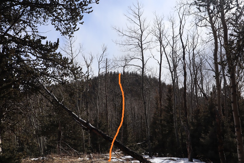
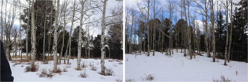
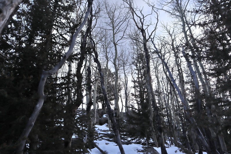
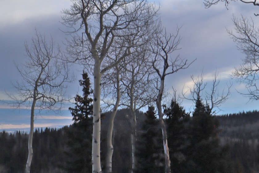
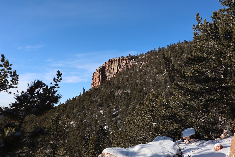
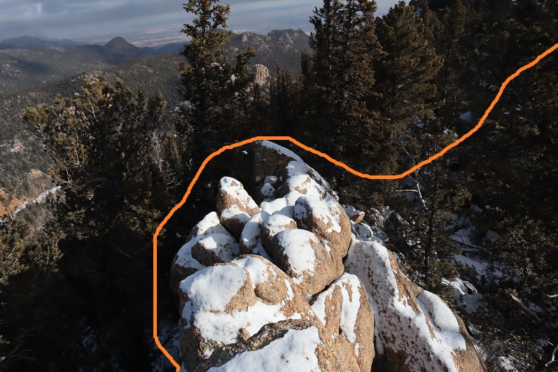
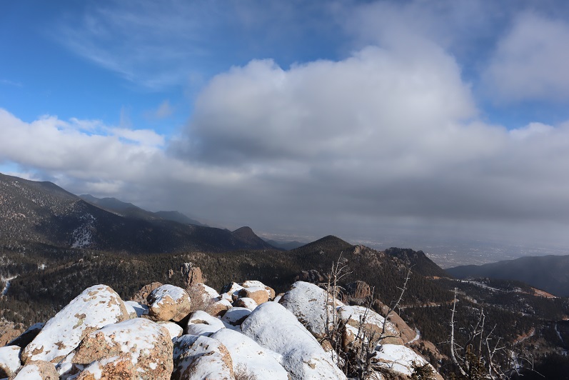
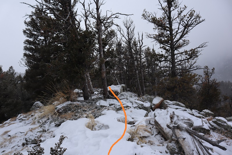
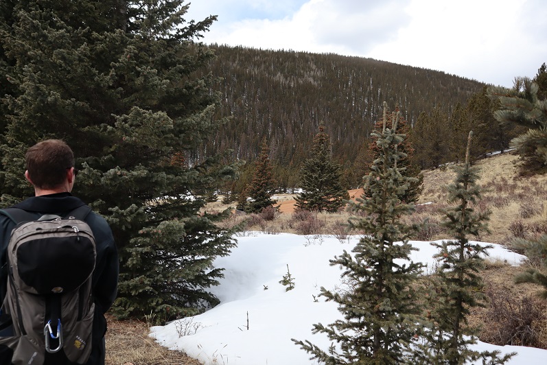
Last time I summited Mt Rosa I summited from the south side (same trail at this point) but this time the trail wasn’t visible, so we just went straight up the north side of the mountain

11

12

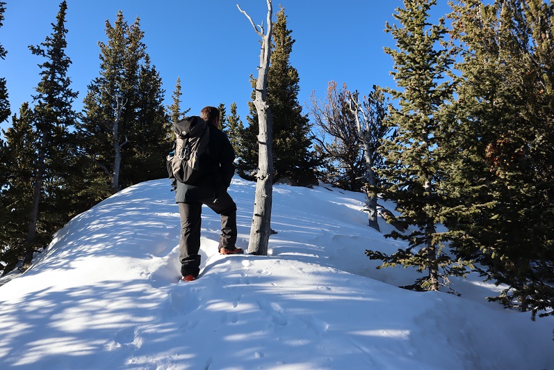
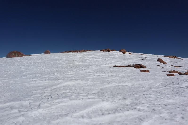
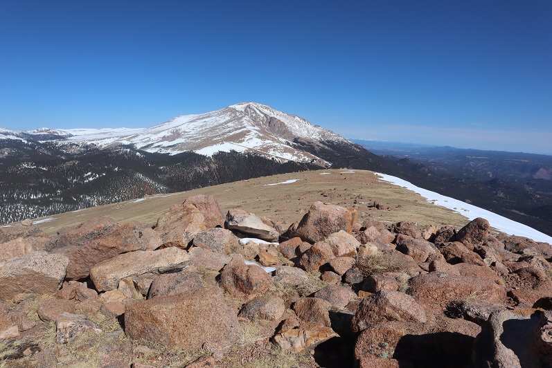
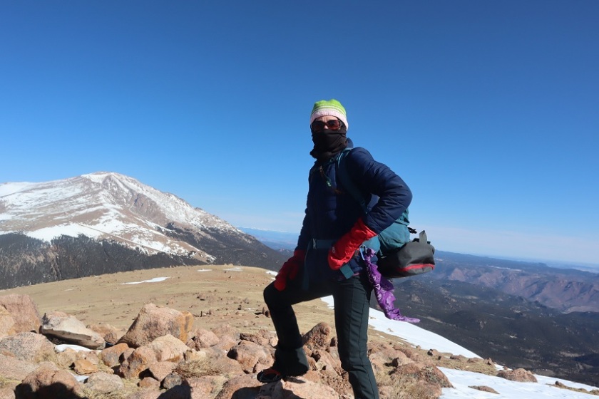
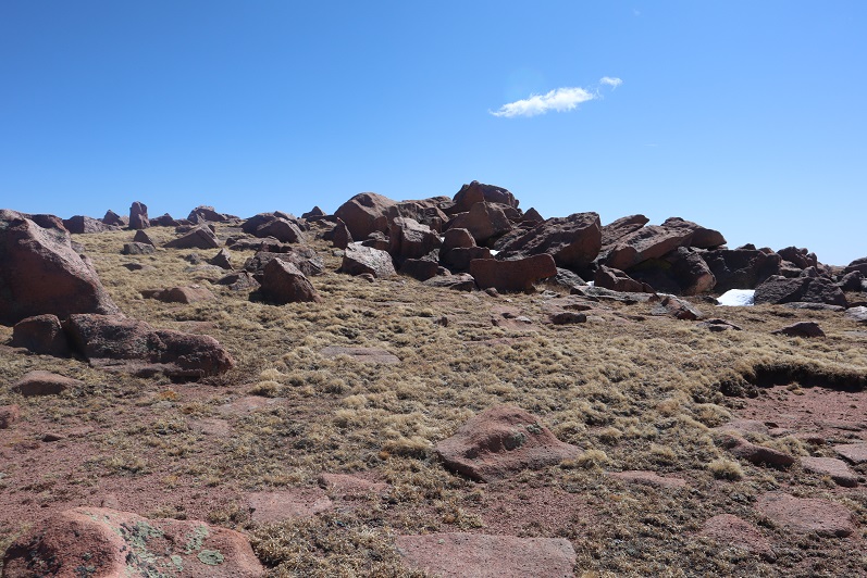
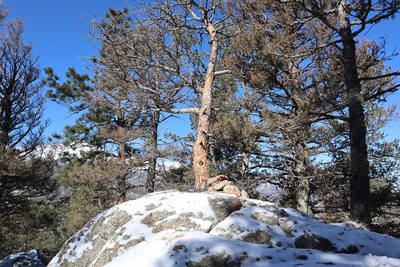
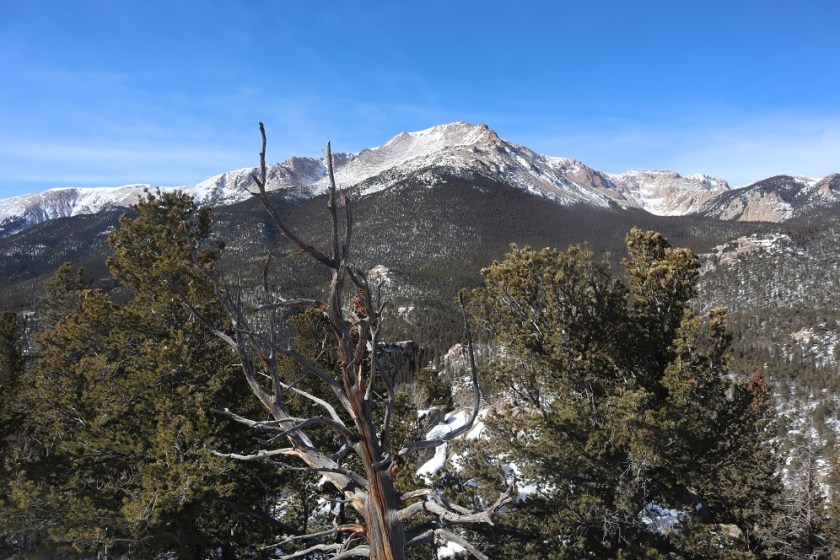
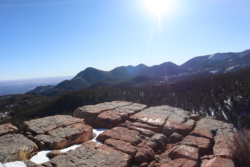
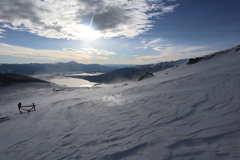
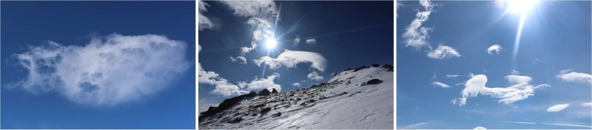
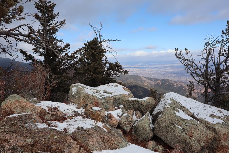
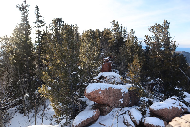
The summit was windswept and clear.

13

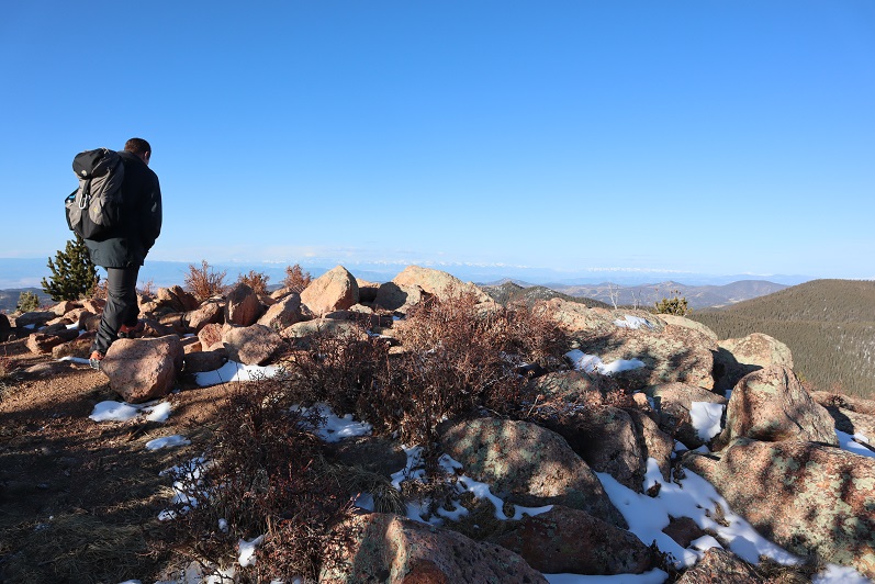
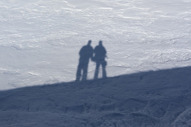
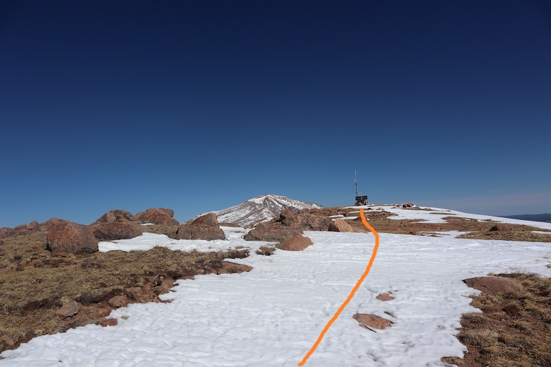
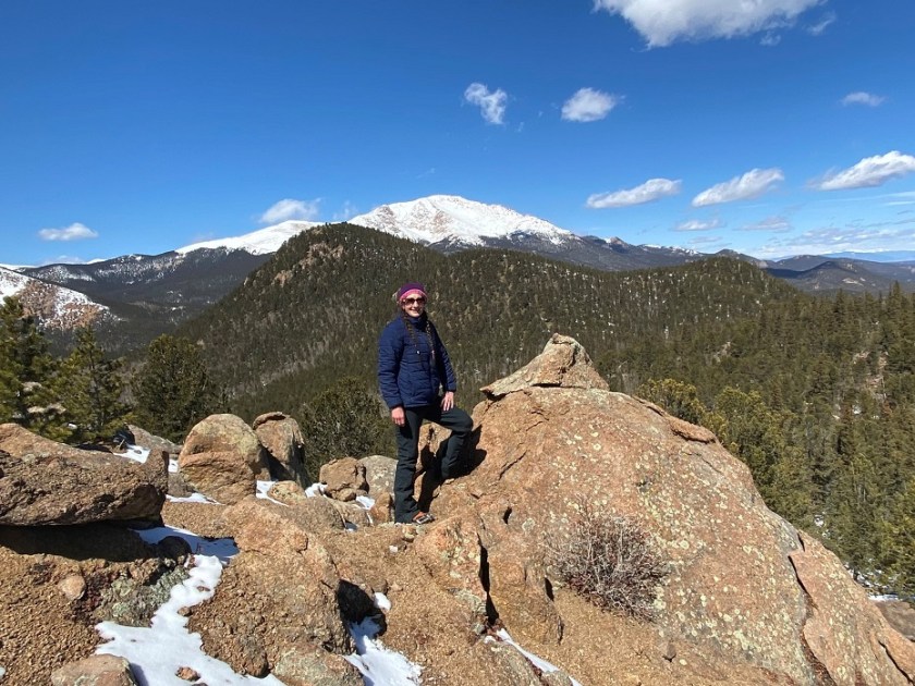
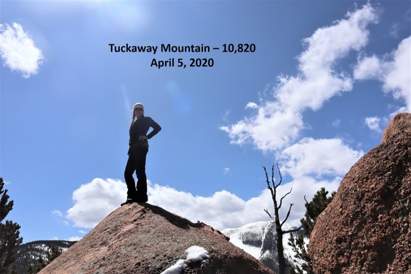
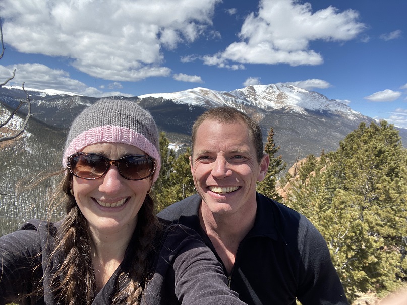
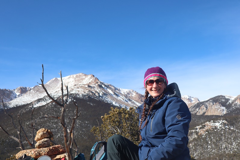
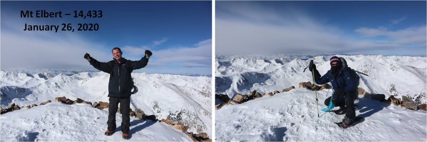
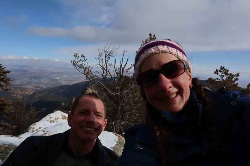
We took a summit shot and stayed for a few minutes, since it was such a nice day

14

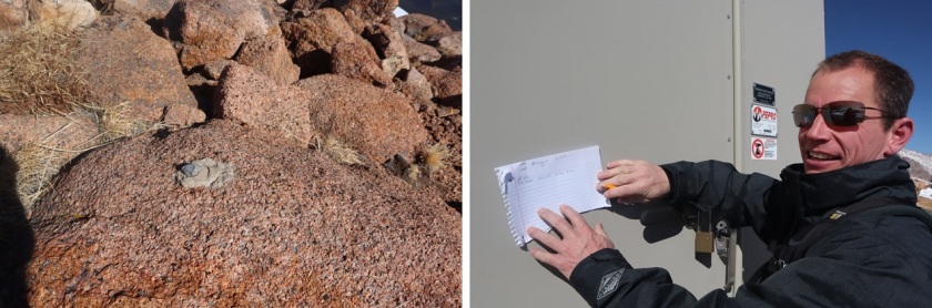
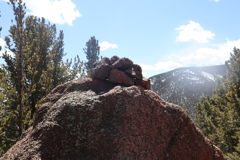
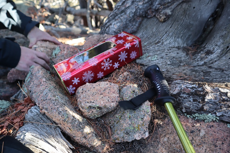
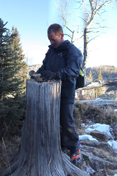
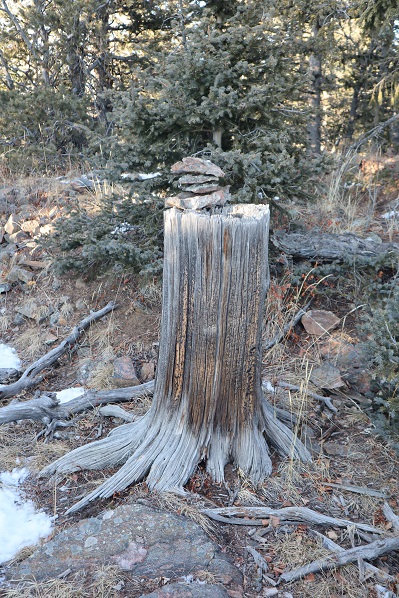
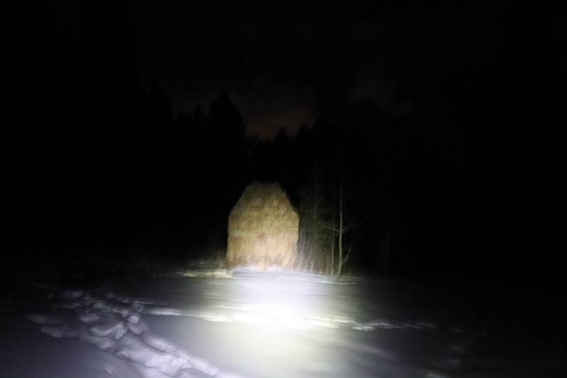
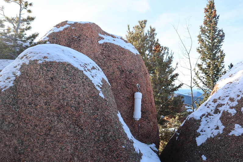
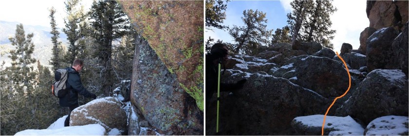
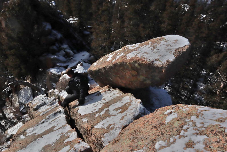
There was no summit register so we left one, and built up the summit cairn while we were at it.
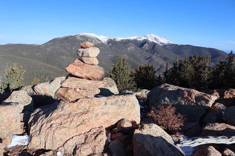
15

Mt Rosa:

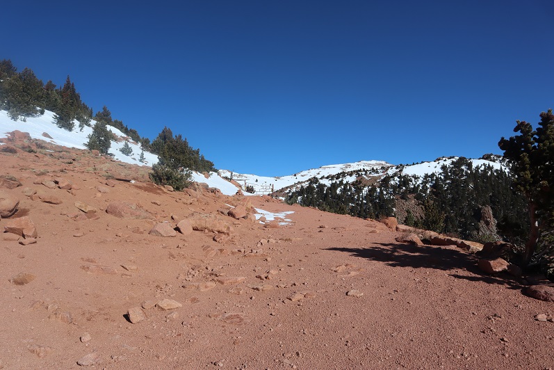
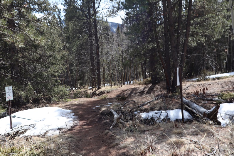
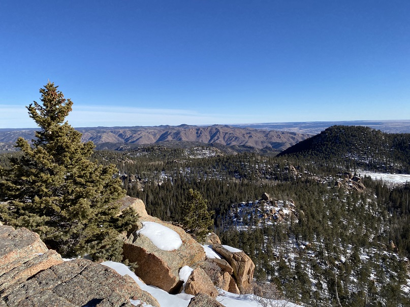
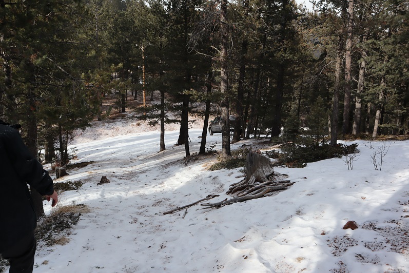
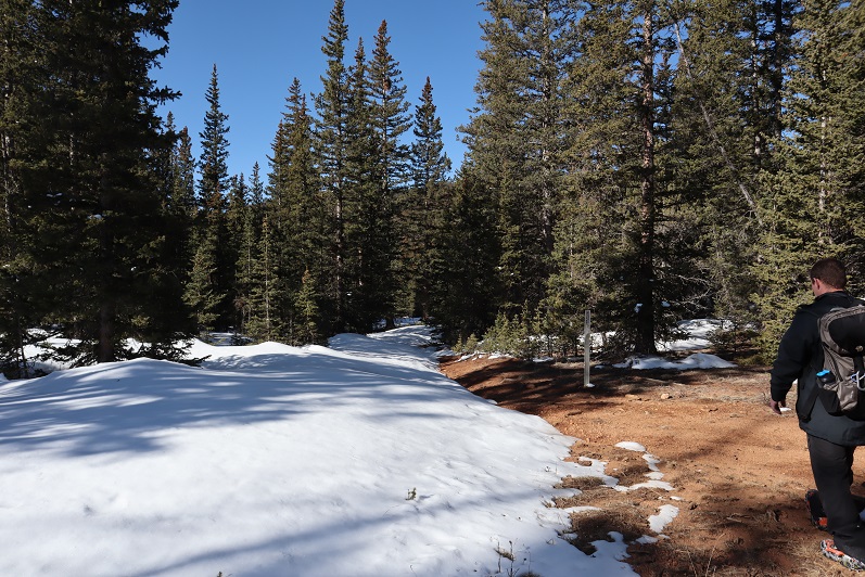
Heading back down was a breeze, as we just followed our previous tracks

16

17

18

19

20

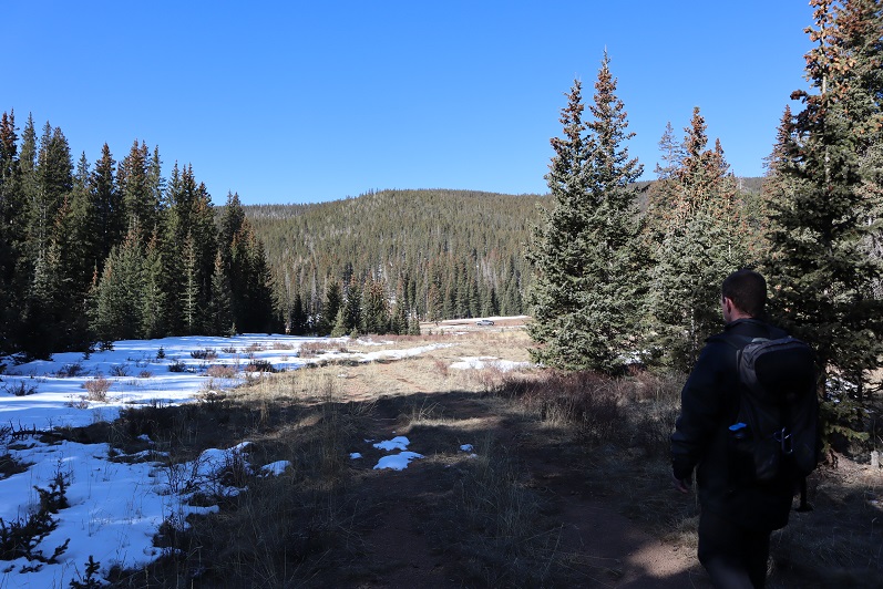
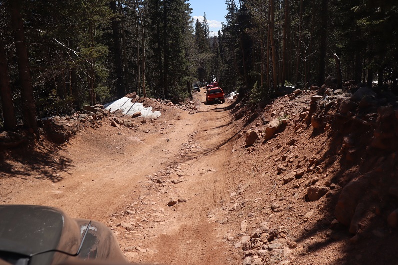
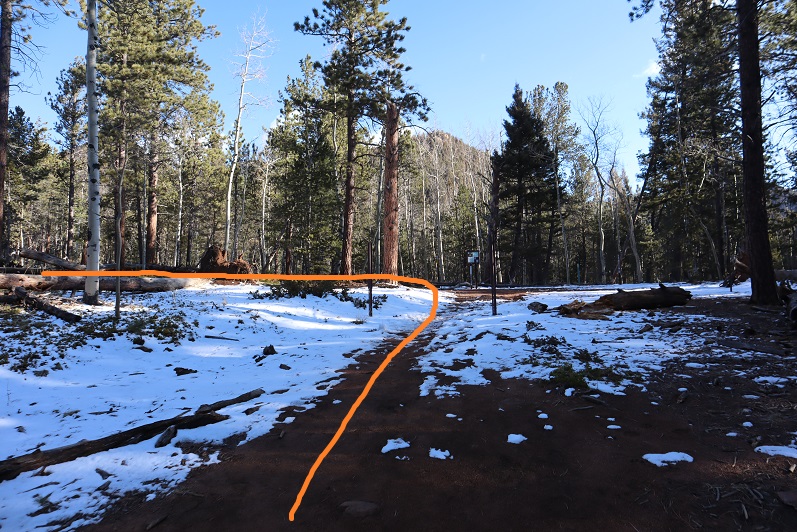
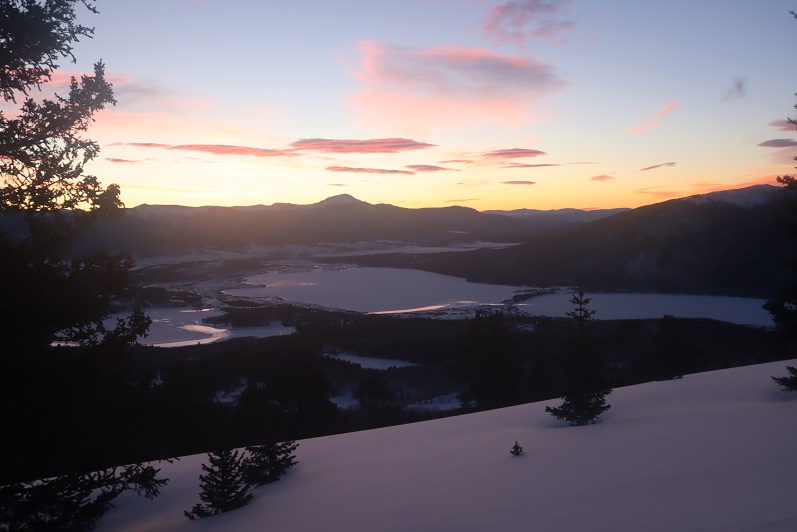
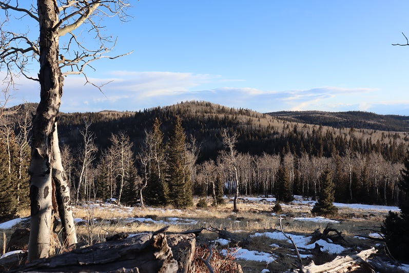
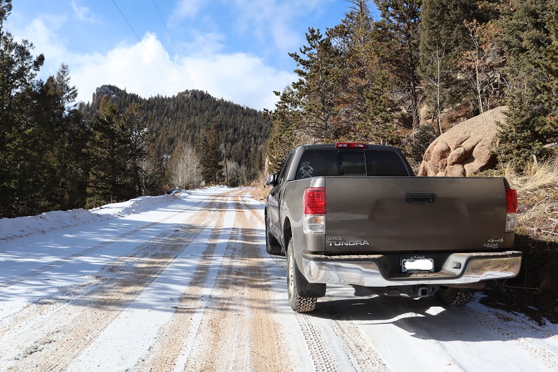
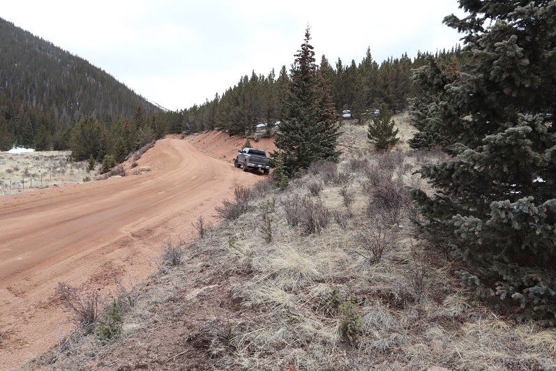
Ok, time for the next peak. It takes so long to drive out here and the summits are so short it’s worth it to try to get multiple peaks in in a day. We drove back down 379, noticing there weren’t nearly as many people out as there had been last week. We only passed 1 vehicle, and last time we’d passed dozens.

21

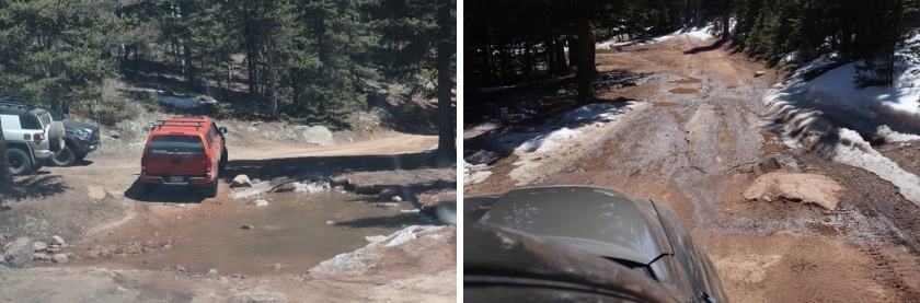
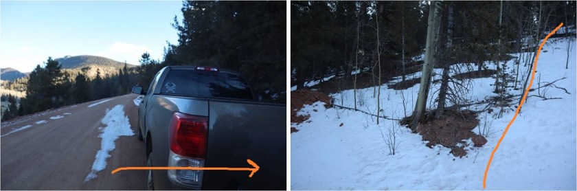
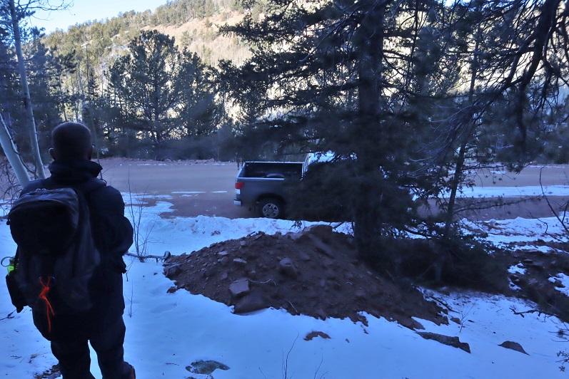
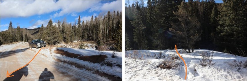
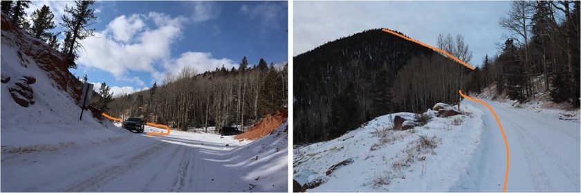
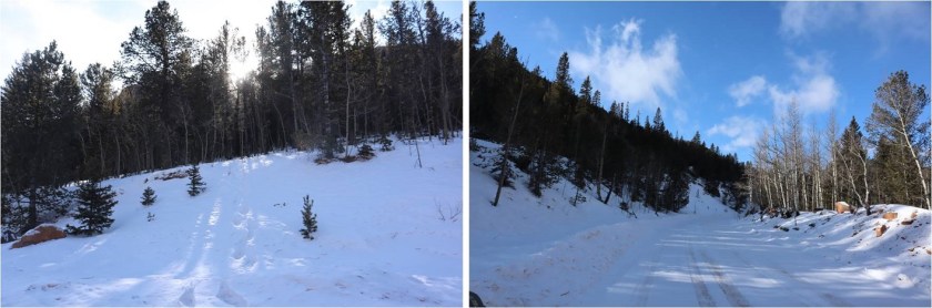
Turned right onto Old Stage Road, we then followed the road for a few miles to 376, turned right again, and drove for 1.9 miles before parking on the side of the road.

22

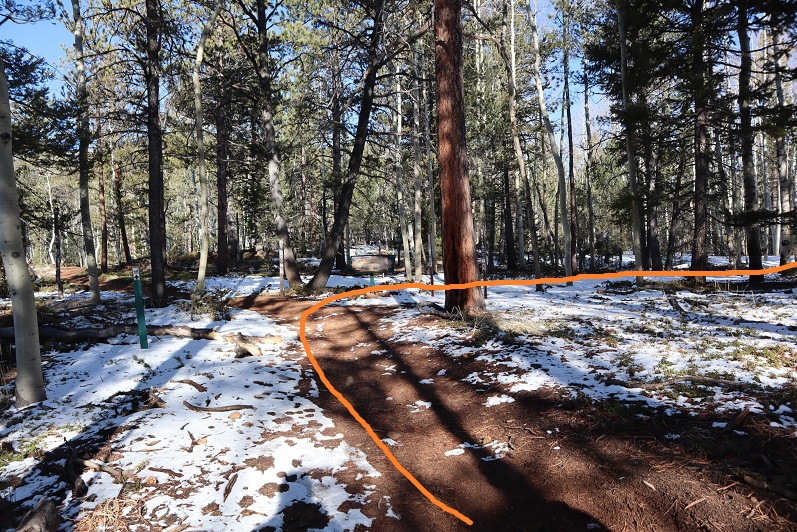
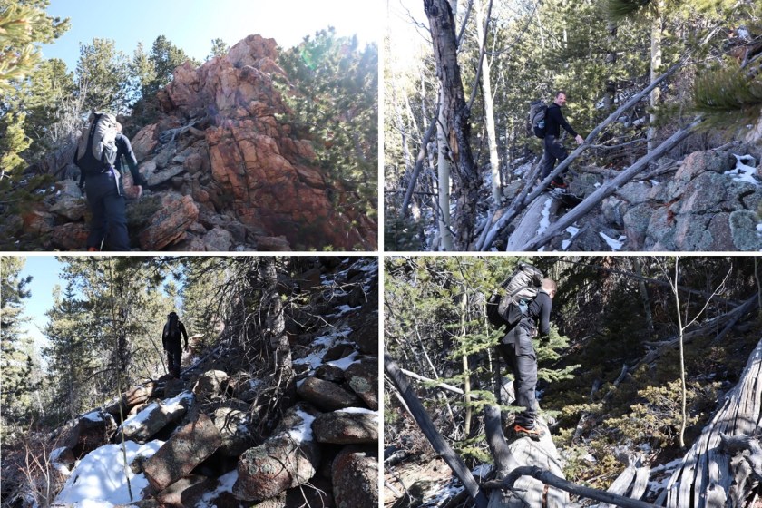
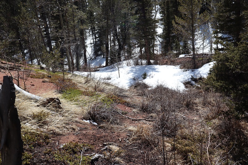
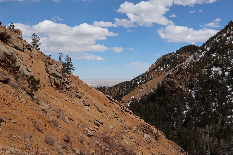
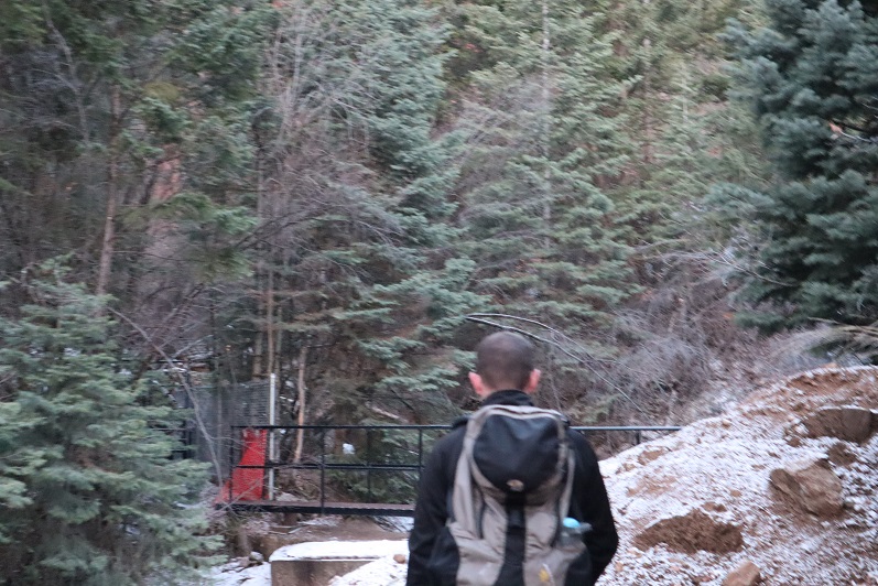
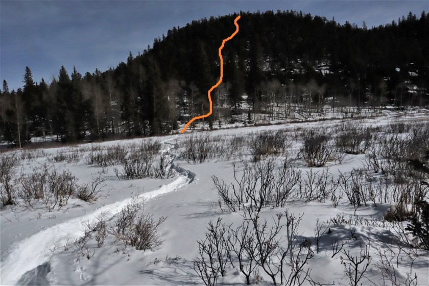
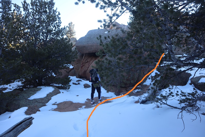
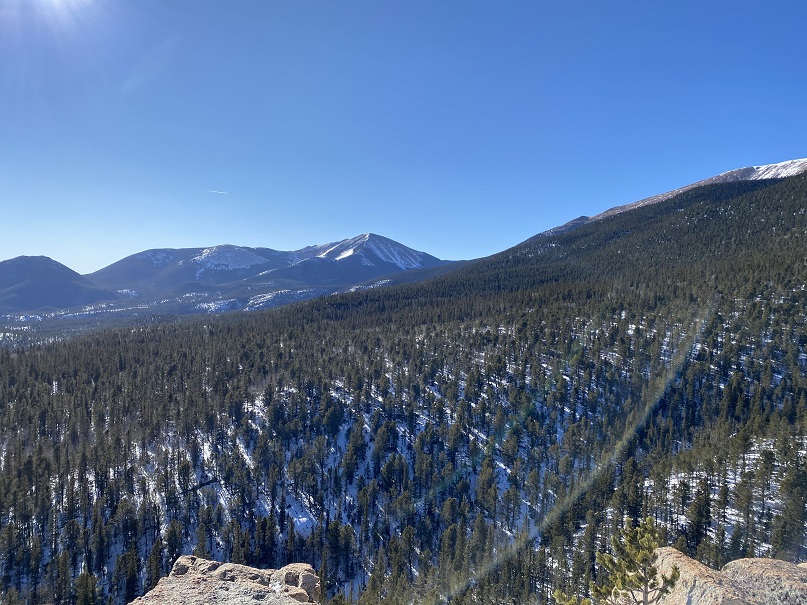
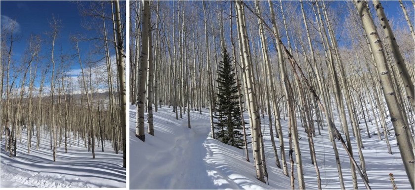
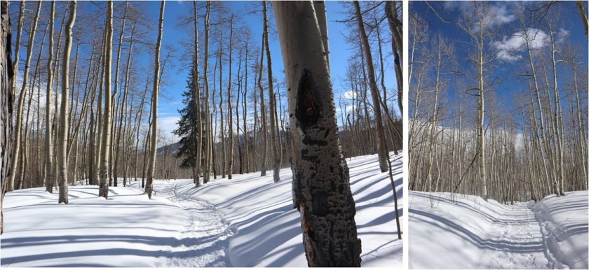
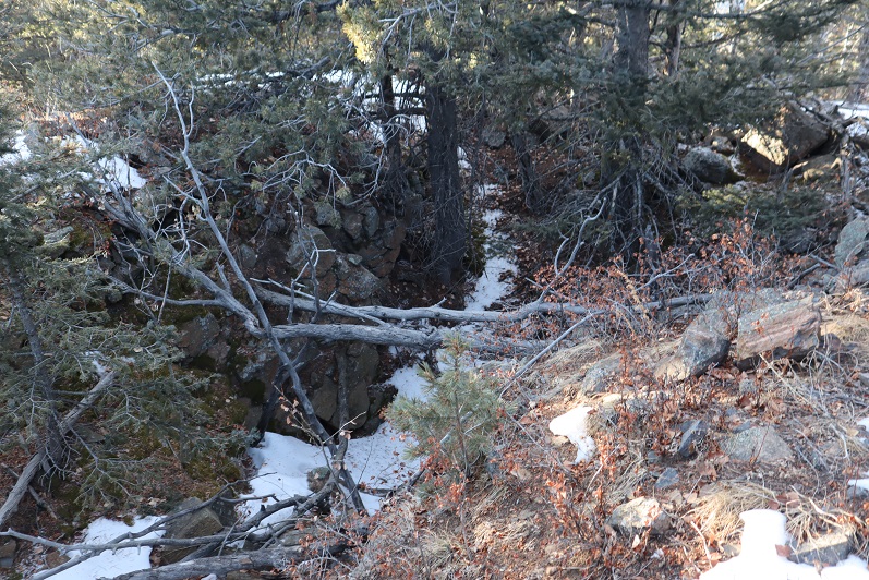
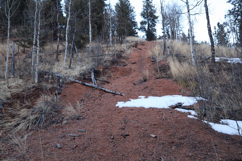
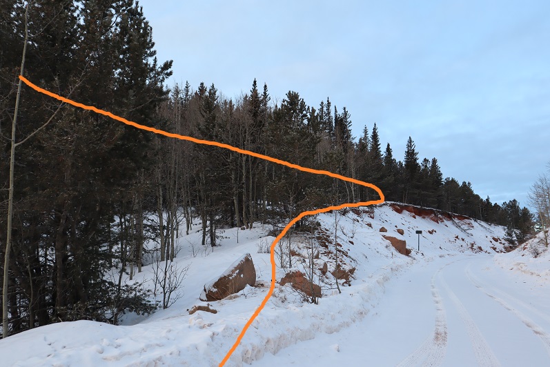
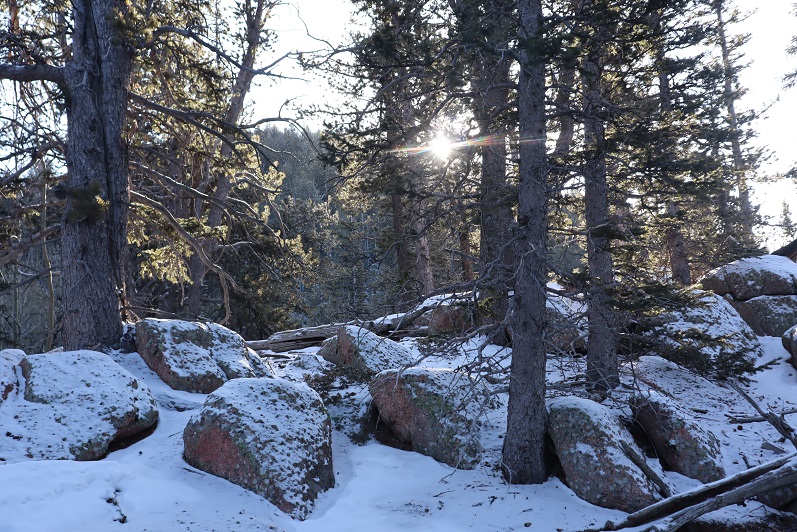
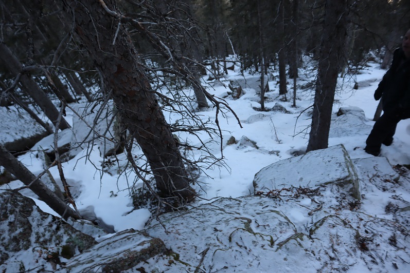
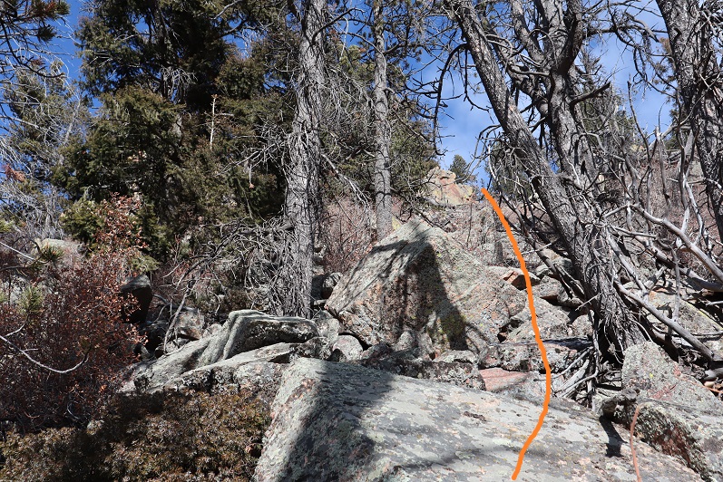
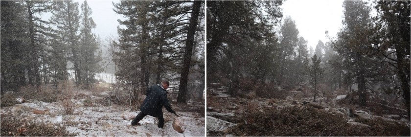
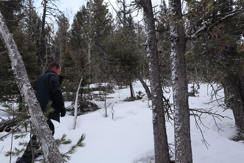
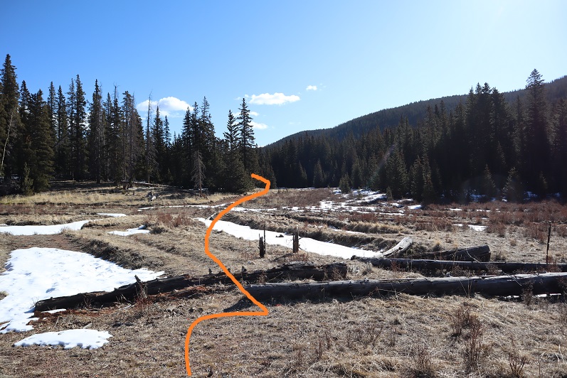
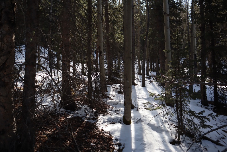
We started out by bushwhacking east, following a gully up the mountainside.

23

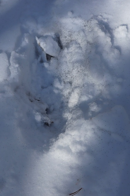
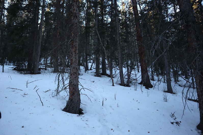
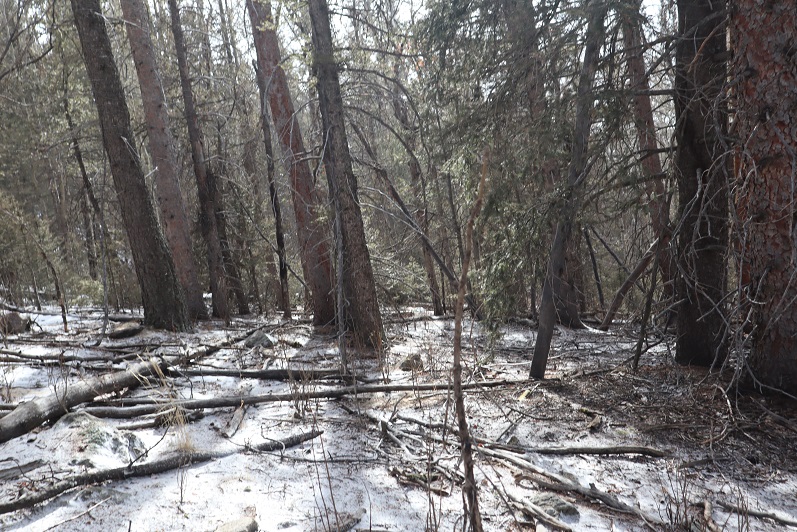
This gully had more snow than we’d anticipated, so we stayed to the left of it. There was a little bit of snow here, and a lot of fallen trees.

24

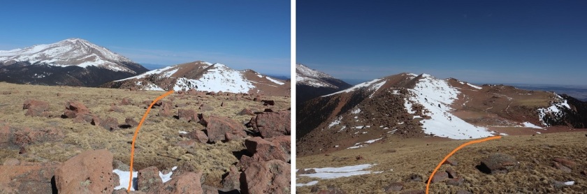
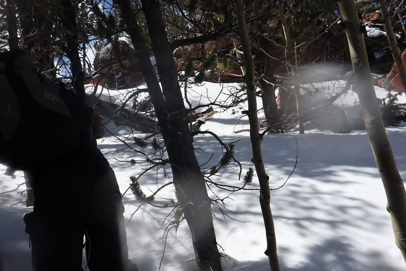
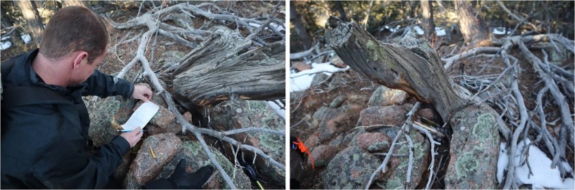
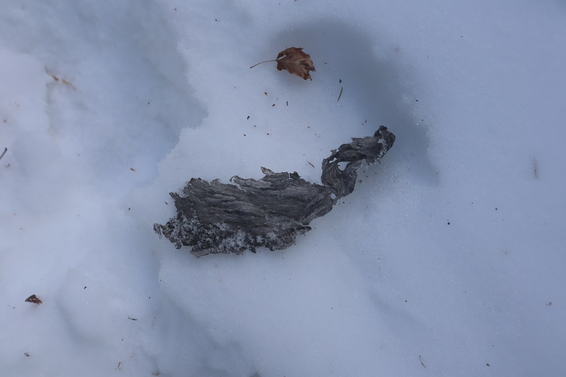
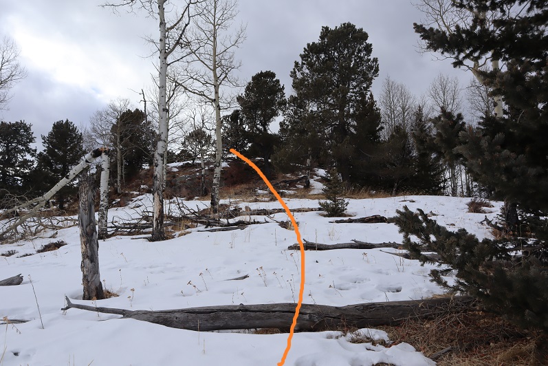
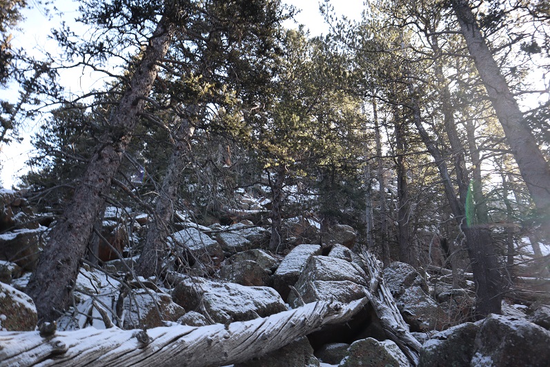
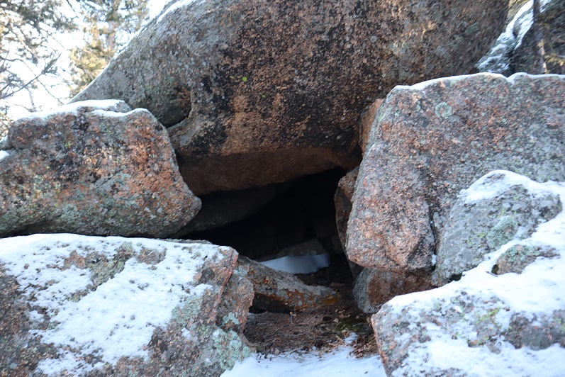
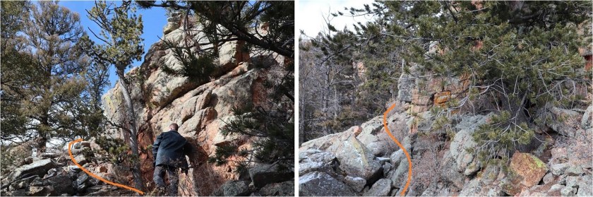
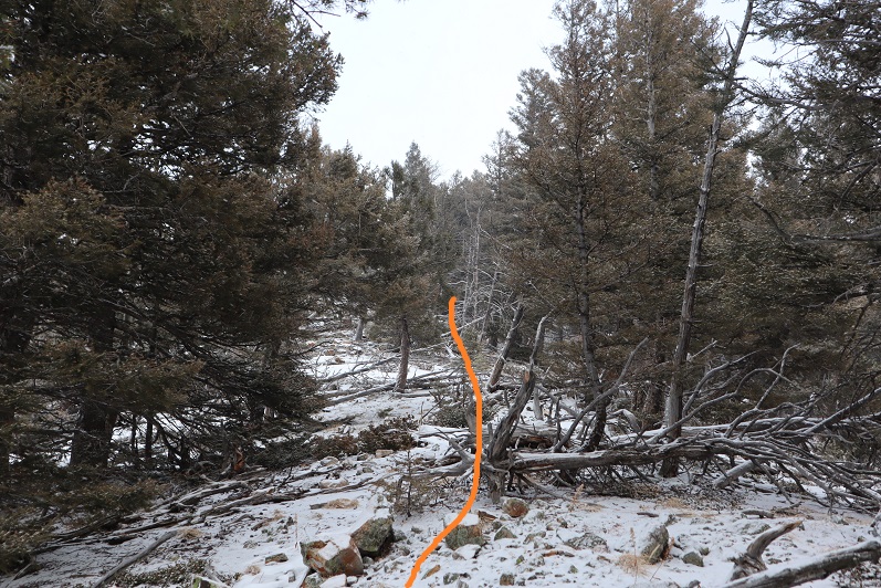
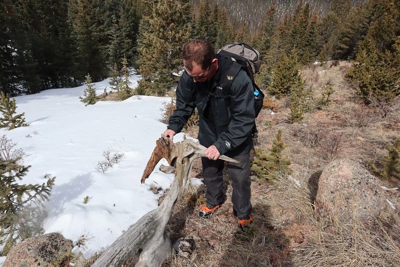
We made it to about 10250’ and decided to cut across the mountain and head southeast towards the saddle. Once again, no trail, and lots of downed trees. We came across another gully that led towards the saddle and decided to mark our exit so we’d know how to make our way back. We found this cool root that looked like a bighorn sheep skull and used that to mark our place.

25

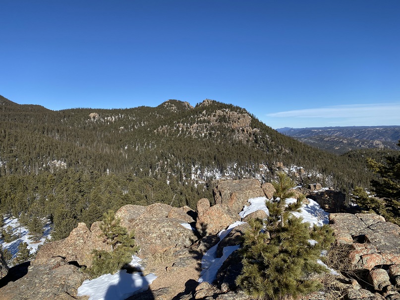
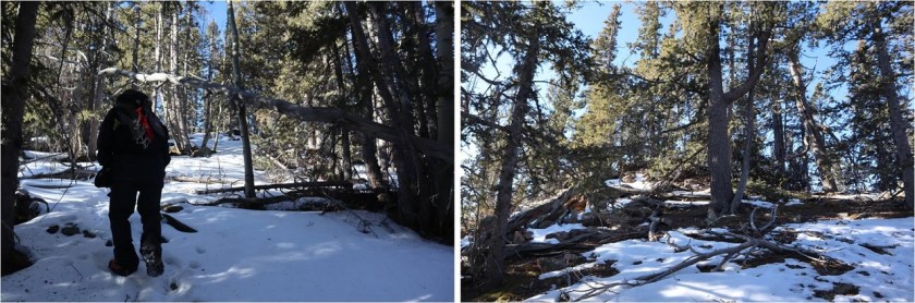
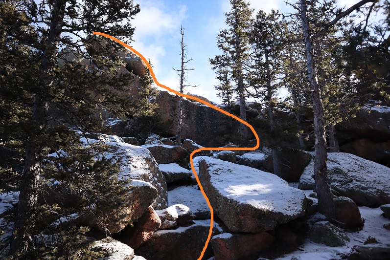
We continued east up the gully on what kind of looked like a trail

26

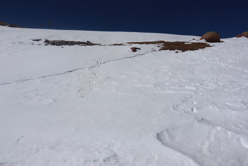
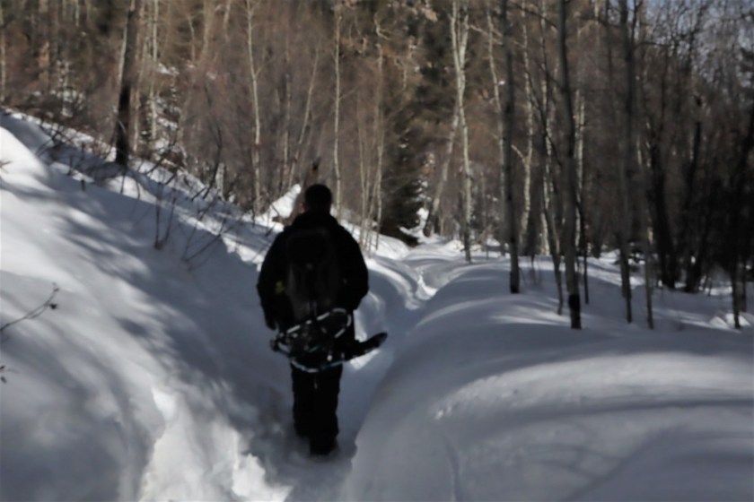
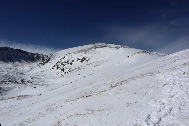
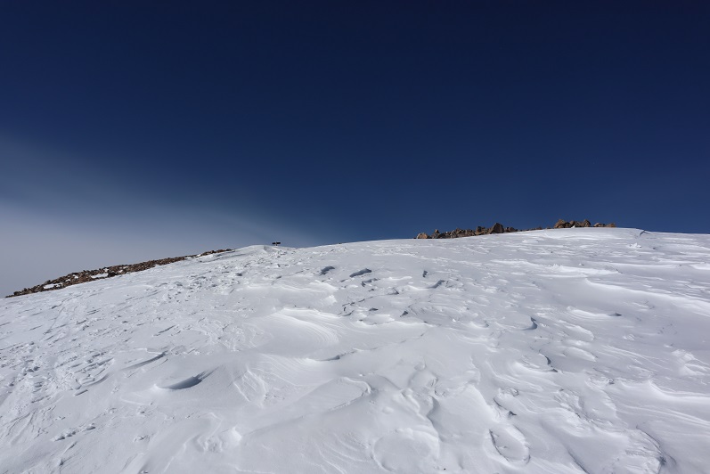
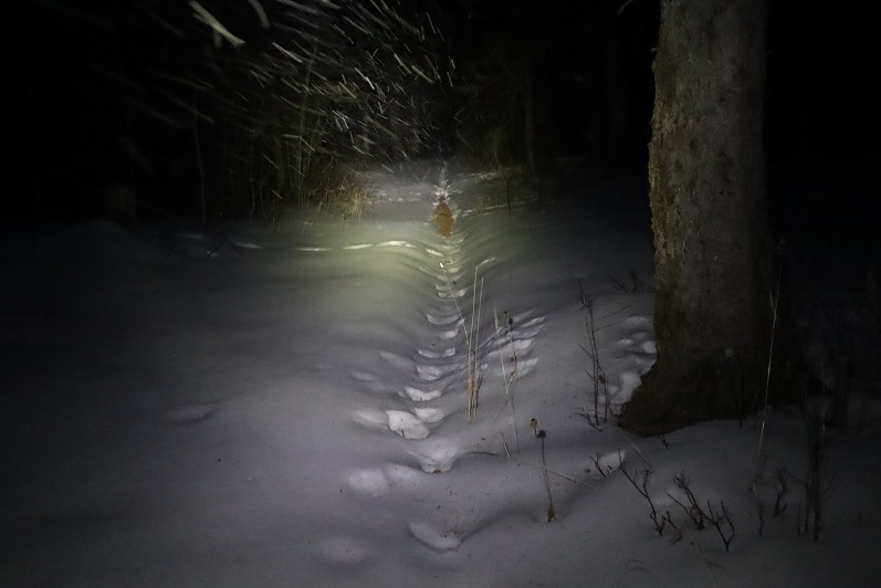
Things changed when we hit the saddle: snowshoes became necessary

27

We donned our snowshoes (thank you Steffen for fixing mine!) and started up the ridge that led to the summit.

28

The snow just seemed to get thicker and thicker the further we went, and several times I thought we’d need to turn back, but we just zig-zagged our tracks and kept pressing forward.

29

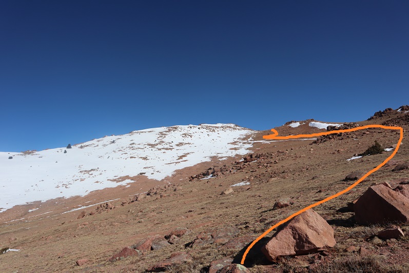
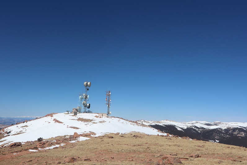
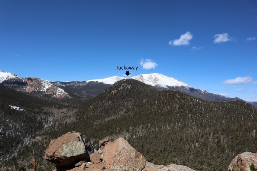
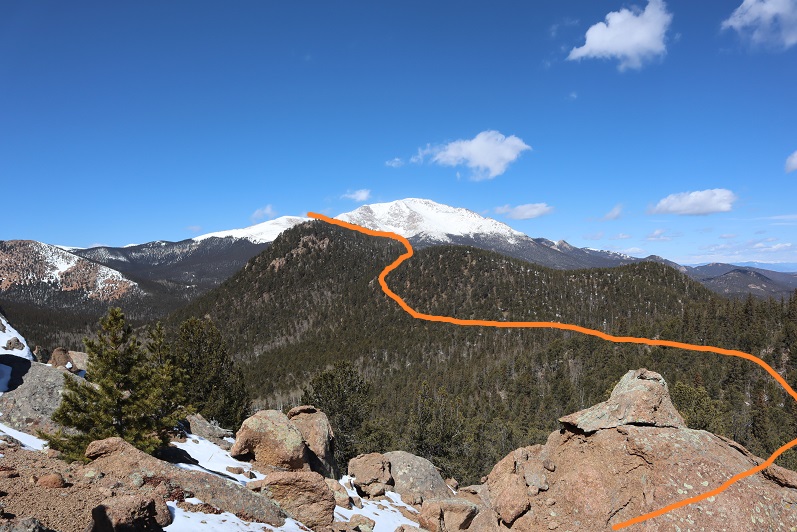
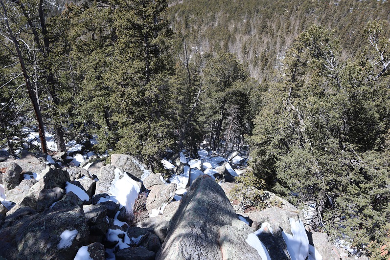
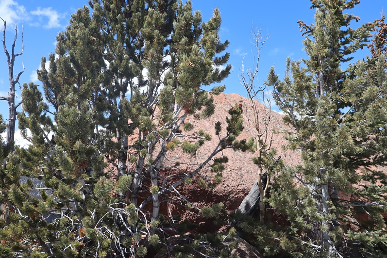
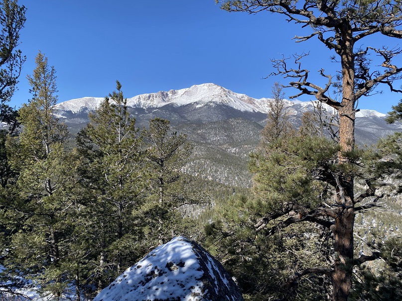
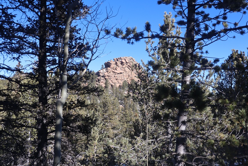
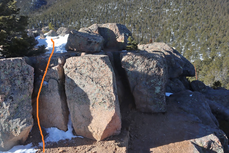
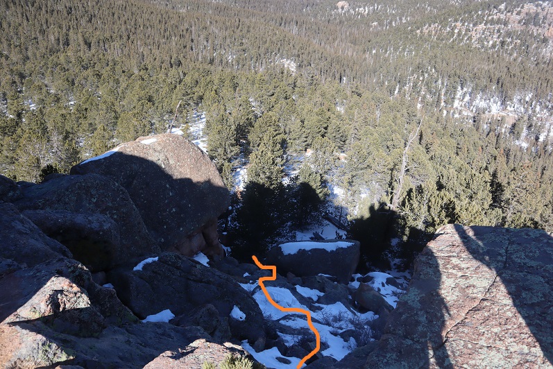
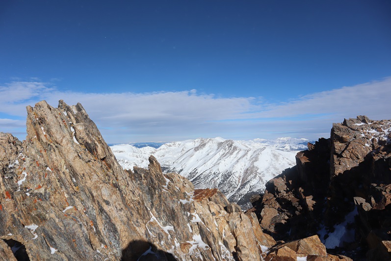
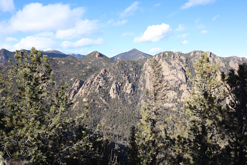
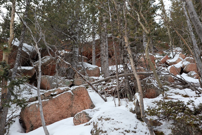
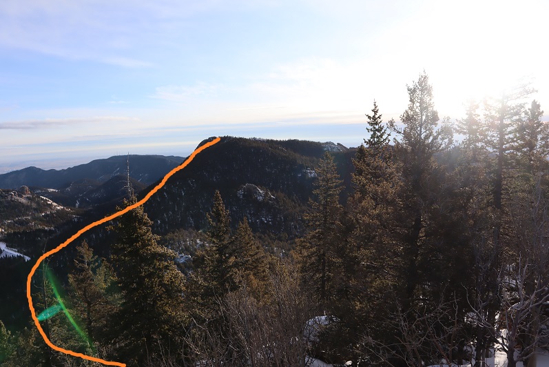
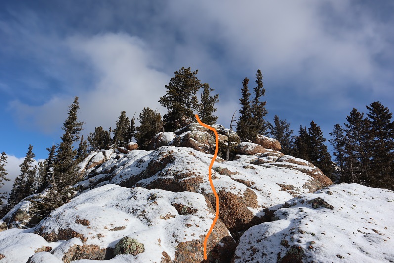
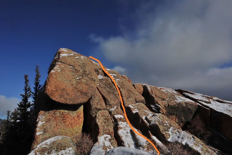
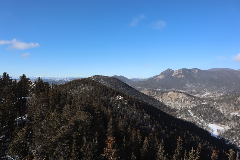
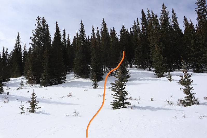
To the right of the snow is a rocky area. The summit is at the southwest point

30

31

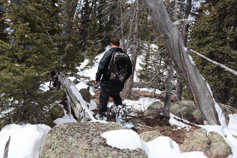
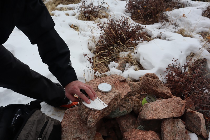
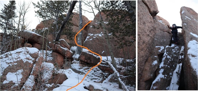
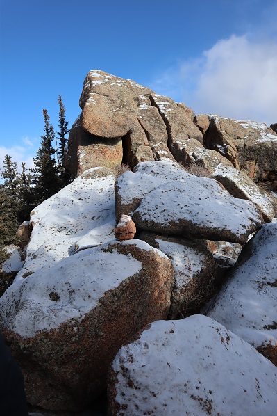
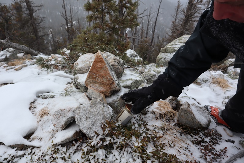
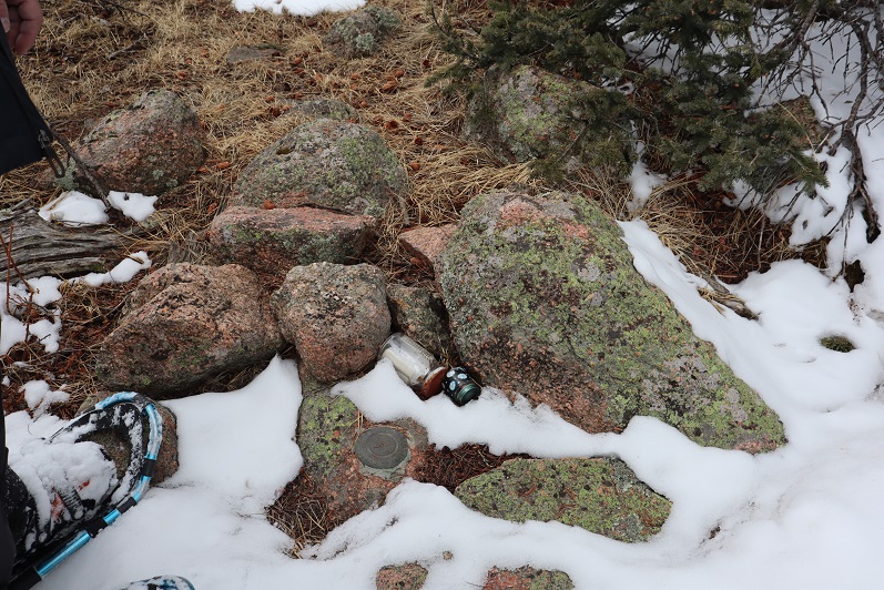
And check this out: there was a summit marker AND two summit registers!

32

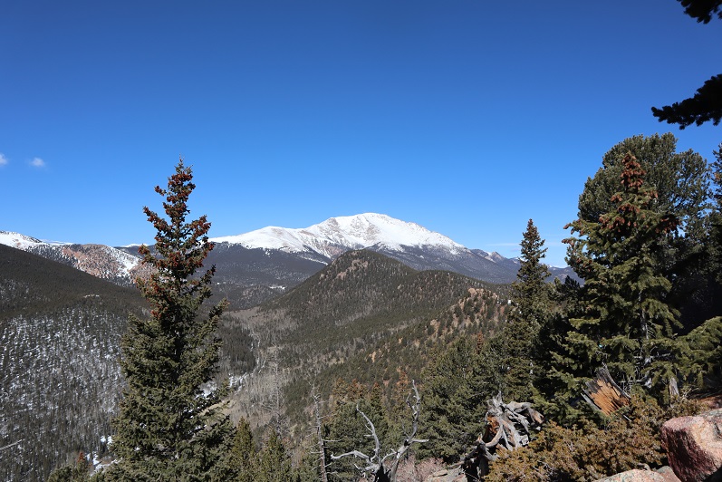
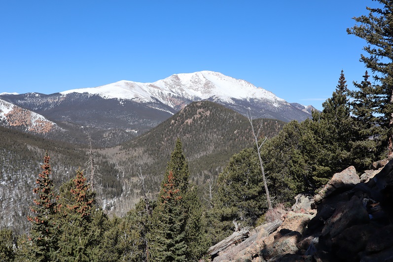
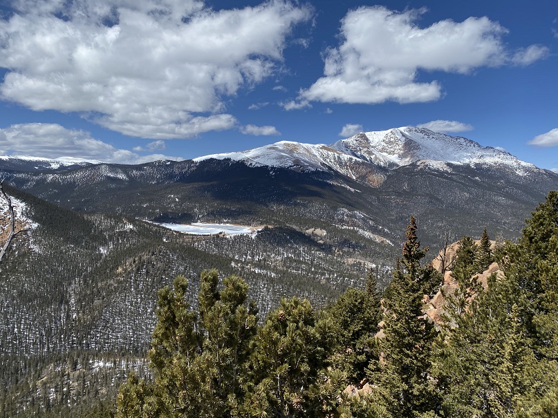
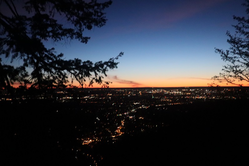
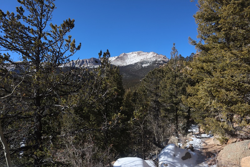
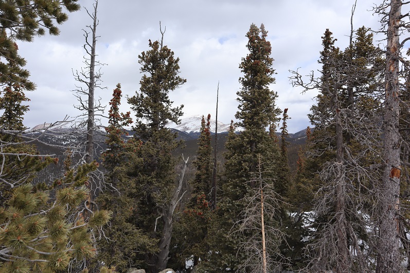
Unfortunately, the views of Pikes and Almagre were interrupted by trees

33

The clouds were forming quickly so we didn’t stay too long on the summit. The snow was helpful on our way back, as we just followed our tracks back to the saddle

34

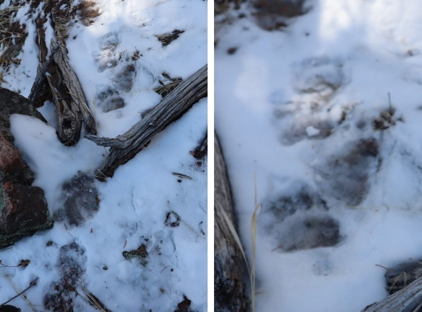
And then we followed our makeshift bighorn sheep cairn across the mountainside and back down the gully. There was less snow here, and we were surprised every so often to find our tracks!

35

Following the first gully back down was easy: we just stayed to the right of the snow

36

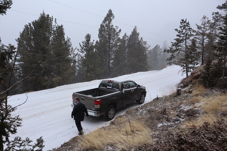
This led us back to the road and Steffen’s truck.

37

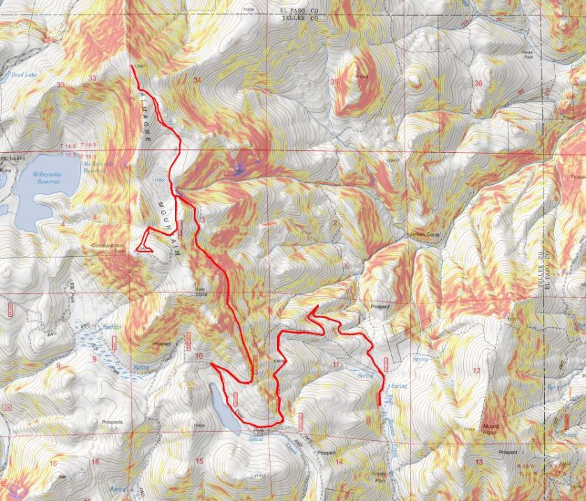
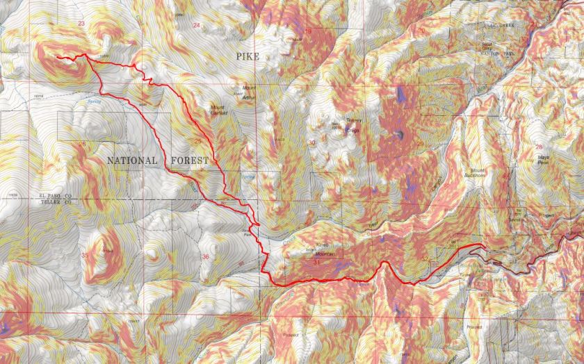
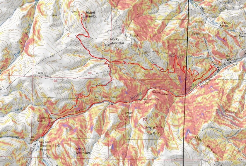
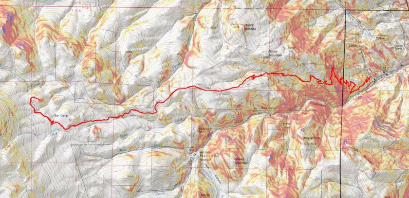
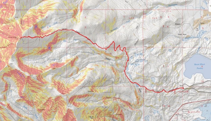
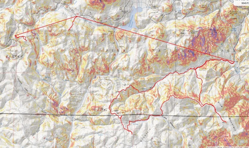
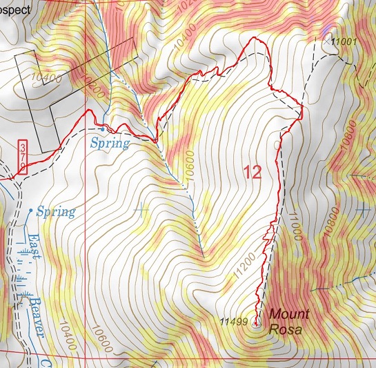
Here are the topo maps for the hikes
Rosa:

38

Rain Benchmark:

39

I’m not quite sure on the time for this hike, and to be honest, I wasn’t really paying attention because about halfway back to Old Stage Road we were stopped due to a tow truck blocking the road.

40

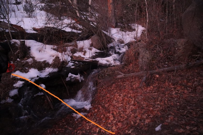
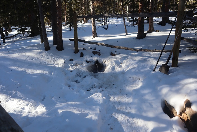
We parked the truck and got out to see what was going on. Apparently someone was driving too fast on the dirt road last night; his truck launched and hit trees before going over the edge and landing in the creek. Check out how high those tree marks are!!! The driver was alone and miraculously unhurt. He spent the night in his vehicle and climbed for help this morning. We hadn’t come across him because we’d decided to hike Rosa first.

41
We sat and watched them try to remove the truck for about half an hour.

Eventually they decided their tow truck wasn’t large enough and they’d need to come back with a bigger vehicle. Stay safe out there driving my friends!

Almagre Mountain – 12,367 and South Almagre Mountain – 12,349

1

RT Length: 14.5 miles
Elevation Gain: 2936’

Oh, Old Stage Road, where the speed limit is 20mph but you can’t go above 5mph because the road is so full of potholes. Old Stage Road is a 2WD dirt road connecting Colorado Springs with Cripple Creek, and as of late is becoming increasingly difficult to drive. OK, not difficult if you drive slow, but then it takes forever! We made it to Old Stage Road at 5am and didn’t make it to the trailhead (Frosty Park) for over another hour. The last part (after turning onto 379) was very much 4WD, and fun to drive! There was snow and ice on the trail, and a few deep puddles to navigate.

2

Eventually I came to a place where there was a layer of snow/ice on the road that I didn’t want to navigate with my truck, so I parked a third of a mile before the trailhead and decided to walk the rest of the way. This was an easy walk along the 379 dirt road, and in fact, we stayed on 379 for 3.5 more miles

3

The road conditions varied greatly, but after the first mile snow was present along the entire route. The road followed the Ring the Peak Trail to Deer Park

4

At Deer Park we left the Ring the Peak trail and turned right onto 379A

5

We continued to follow the road, steadily gaining in elevation

6

Snowshoes would have been a good idea, but we were too stubborn to put them on.

7

After 5.25 miles we came to a locked gate and skirted around it

8

This brought us to the defunct Stratton Reservoir.

9
It’s hard to imagine this reservoir ever held much water. Almagre is to the north of the reservoir. Here’s the path we took

10

Stopping to get a shadowselfie on the reservoir

11
Following the road up to the saddle

12

13

And then heading northwest to the summit

14

There was a lot of wind here, and firm snow we were able to easily navigate with just microspikes

15

16

We summited at 9:40am to quite a bit of wind

17

18

There was no summit register, so we decided to leave one we’d brought, crouching down behind the solar panels to get out of the wind

19

The wind was a bitter cold so we didn’t stay long on the summit. We made our way back to the saddle

20

And got a good view of South Almagre Mountain (the microwave towers)

21

We headed back the way we came

22

And only stopped for a bit to re-apply sunscreen. Then we were starting the ascent of South Almagre. While we simply followed the road, the road was covered in snow/ice and was a bit tricky in places. I went first to kick in steps

23

The road didn’t look passable after the first set of switchbacks, so we decided to just head up this wall of snow and straight towards the microwave towers

24

25
As we neared the towers we heard talking, which was confusing since we’d made our own tracks and hadn’t seen anyone all day. Turns out there were some workers up in the towers adding connectivity and network bandwith due to increased demand during the Coronavirus.

26

They’d tried to take the road we hiked in but their vehicle wouldn’t make it, so they instead turned around and hiked in from Elk Park. This is the initial way I’d summited Almagre a few years ago.

Being at the top of South Almagre we weren’t sure if we were indeed at the highpoint. Looking directly east seemed to be just as high (or higher) than the point we were at now, so we decided to traverse over to this pile of rocks

27

While it was fun scrambling, our altimeter showed this area was actually 10 feet lower than the towers had been.

28

29

Satisfied, we decided to head back, following the route we’d come in

30
The snow section below the towers was a little steep, but we’d done a good job kicking in steps

31

32

We followed the road back to the gate

33

And with the increased temperatures were a little worried about avalanche danger here

34

We gingerly crossed this area, and as soon as we were confident we were out of avalanche danger we put on our snowshoes for the long slog back down through snow, ice, and mud.

35
The snow on the roads was now mush, and once we got further down we started seeing tire tracks

36

37

And more and more and more vehicles. I started to get worried we wouldn’t be able to drive out on this road because so many people were driving in.

We made it back to the truck at 2:30pm, making this a 14.5 mile hike with 2936’ of elevation gain in 8 hours. I have to say, the hike felt shorter with more elevation gain, but that may be because I was tired from my hike the day before.

38

I decided to follow a few vehicles back to Old Stage Road, and this ended up being a fabulous idea: There were dozens of vehicles in the half mile back to the road all trying to go the opposite way. I applaud them for social distancing and still getting outdoors!

39

Tuckaway Mountain – 10,820

1
RT Length: 12.5 miles
Elevation Gain: 4220’
Partner: Steffen

Third time’s a charm! For so many reasons…

I’ve attempted this peak on 2 other occasions. One time a few years ago I thought I’d summited (more on that later) and last week I turned around due to deteriorating snow conditions. Today I’m glad to say I had a successful summit!

I drove to Steffen’s house at 4:30am and we made it to the North Cheyenne Mountain gate by 5am, but unfortunately, the gate was locked. I guess it didn’t open until 6am? Oh well, we had a plan B, so we drive down Old Stage road for about 45 minutes, intent on Frosty’s Park and hiking Mt Rosa or Almaghre (or both). About 5 minutes from making it to the trailhead Steffen realized he’d forgotten his hiking boots. Drat! We would have to drive back and get them. As I said, third times a charm, and we arrived at the (now open) North Cheyenne Canyon Trailhead at 7am and were on the trail by 7:20am. It was already light out and I had serious doubts we’d summit today due to warm snow, but at least we’d get in a good hike.

2
We wore our microspikes the entire way, even though they weren’t always needed. I’ve done this hike several times, so I won’t go into a detailed description of the route to Loud’s Cabin, but you can find it here

I basically took the 7 Bridges Trail (622) to 677 to 622A to Loud’s Cabin. Here are the pictures:

3

4

5

6

7

8

9

10

11

12

13

Along the way we saw some curious tracks in the snow. They were about 5-6 inches long and distanced about a foot to a foot and a half apart. It took us a while to figure out they were turkey tracks. It would have been much cooler had they been emu or velociraptor tracks or something, as they seemed too big to be turkey tracks…

14

Once at Loud’s Cabin things once again got tricky. I’d made a GPX file from CalTopo with the way we were supposed to go, but the trails were no longer there. We decided to ascend the hill above the cabin and head west. It became apparent almost immediately we were on the wrong ‘trail’ but we were on a trail and headed in the right direction and felt committed… until it ended.

15

I noticed a few cairns so we followed them for a bit until they ended as well. I’m guessing the cairns were indicating an alternate route up Mt Garfield.

16

We weren’t interested in hiking Mt Garfield today, so we left the cairns and aimed northwest along the side of the mountain, making our own trail as we went. This included some fun scrambling over rocks and fallen logs. Be careful: those rocks and logs move!

17

Also, here we saw the first near tracks of the season! I’m thinking mama and cub

18

We had great views of Tuckaway when the trees cleared (which wasn’t that often). The frustrating part? We didn’t seem to be getting any closer. In fact, it felt like the mountain was always in the same place (well, it was, but we weren’t making much progress).

19

This was our view of Tuckaway most of the time

20

Finally we made it to the top of a rock formation at about 10,400’

21

Here’s the view looking back at the way we’d circled Mt Garfield

22

And a look at the route before us towards Tuckaway

23

There were tons of ways we could have traversed over to Tuckaway, and we actually went back and forth while we were hiking as to the best way: there’s snow you cannot see in a lot of areas that would make certain routes lousy. We’d initially wanted to just hike across the ridge, but instead this is the path we took:

24

I got a picture because the view was great

25

And we were off, deciding to initially descend this spot to the north (where we came across a mine not listed on the map), and then head west down some snow covered boulders. The scree here was really soft and felt a bit like quicksand.

26

27

There are no great pictures here, as we were just in the trees headed towards the saddle just before Tuckaway. When we reached the saddle it was time to don our snowshoes. We trenched a trail from the saddle to the west and came across my tracks from last week.

28

My tracks eventually ended and we had a time sinking up to our waist in the soft snow, but we were stubborn and took turns trenching: we could see the blue skies above indicating a ridge and were determined to summit today

29
We made it to the ridge and to our immediate left was a cairn. This is where I’d stopped a few years ago, thinking this must be the summit (cairns like this usually indicate a summit).

30
It certainly looked/felt like the summit, and indeed, from here you cannot see a higher spot. However, I’d had someone (not so nicely) comment on my blog that I hadn’t reached the true summit; that it was in fact further to the west. So today I was here (again) to see if he was right. We decided to follow the ridge west, through several feet of snow (I love snowshoes!!!) gaining and losing elevation as we went.

31

After about 2/10ths of a mile we came to a point I wasn’t convinced was higher than where we’d been before but was definitely the spot I’d seen in other one person’s picture as the summit. There was no summit register here either and no cairn indicating a summit.

32

We decided to climb the rock, which took careful footing and a leap of faith. Here’s Steffen heading back

Here is my summit photo

33

And some of the amazing views from on top of the rock

34

We took a summit selfie

35

And I got another shot of the way back down

36

Side note: As I said earlier, I wasn’t convinced this point was any higher than the point we were at before, so once I got home I put the route up on CalTopo. It showed the second point was indeed 3 feet higher than the first, but I hadn’t climbed to the top of the first rock like I had the second. In other words, I think both places are of similar height, and in fact, while the rock was difficult to climb I’d say the route I took the first time was more challenging than the one I took today. In any event, either way, we summited because we made it to both points. I think either point should count on its own.
We decided to descend the way I’d trekked last week, and followed our snow tracks to the saddle

37

38

39

And back down the gully to the trail I took last time.

40
What’s frustrating here is the trail that’s on ALL the maps, GPX files, etc. is a trail the forest service doesn’t want you to take. They’ve made it extremely difficult to follow because they don’t want people hiking there. They’ve essentially tried to close this trial.

41

I totally get this, but the problem is they haven’t established new trails/produced proper GPX files, etc. of new routes. This is the best they give, which is a poor excuse for a map and doesn’t include topographic features or mountain names. It’s like they want you to get lost

42

I’ve been in this area several times and their new trails are terrible and are meant for dirt bikes, not hikers. It’s really frustrating: I’d set out today to follow proper (new) trails and provide a GPX file for others interested but was unable to do so due to lack of information. In my topo picture at the end it shows I followed the trail on my return, but that’s the one they’ve blocked off, so it isn’t actually a trail. IT was however, my safest option.
We encountered a lot of snow on the trail on the way back, and instead of complaining about how we kept on postholing we decided to make it fun. Here’s Steffen trying to get across the snow without sinking by running fast (spoiler alert: that doesn’t work)

43

44

We made it back to just below Loud’s Cabin, linked back up with Trail 667, and followed it back to the parking lot

45

46

47

48

We were surprised to find when we made it back to the lot that it was overflowing with cars!

49

What was disturbing was about a third of these vehicles were from out of state. We’re supposed to be staying home and hiking only in our respective county, and I’m doing my best to abide by those rules (before they get worse). It was extremely frustrating to see so many out of state cars, and they just kept going and going and going: the lot was overflowing and cars were parked along the side of the road for miles as we exited. There were more cars here than I’ve ever seen in the summer. It must be Spring Break in other states and they’ve decided to still take their vacations.
We made it back to the truck at 3:30pm, making this a 12.5 mile hike with 4220’ of elevation gain in about 8 hours. It was a perfect day to go hiking!!! I’m so glad we got out and got some fresh air!

50

Paint Mines

1
It doesn’t look like much, it’s always windy and it’s in the middle of nowhere, but this is a fun and easy family hike. Rebecca is a night owl, which means she sleeps in every morning. Today I woke her up at 2pm (yes, 2pm) to go hiking with us. She was grumpy and didn’t want to go, but I promised her she’d feel better once she was outside.
When we got there the parking lot was full so we had to park on the side of the road. No worries about social distancing though, as the trails are wide and even with a full lot we only passed people a handful of times.

2

3
The goal today wasn’t to get in mileage or elevation gain, but to just get outside. You aren’t supposed to scramble on the rock formations (to preserve them) so here are some highlights we were able to get without damaging the structures:

4

5

6

7

8

9
And some pictures of the landscape

10

11

12

13

14
We got in about 2.5 miles of walking and 300’ of elevation gain. Oh, and it took about half an hour of hiking, but eventually Rebeca’s sour mood turned upside down and she enjoyed herself!

Afterwards we went to Big R looking for chicks, but they were out (and so is everyone else).  So we drove home and I sent the girls to Raising Cane’s for dinner while Steffan and I put the skid rack back on my truck:  The girls love Sweet Tea and I’d never had their food before, so it was a win/win.

Mt Manitou – 9460′

1

Rt Length: 10 miles
Elevation Gain: 3499’
Partner: Steffen

Winter and spring summits tend to be all about being flexible: snow is usually present but the ability to hike through it is unpredictable. We started out wanting to hike some highpoints along Rampart Range Road, but when we got to the road it was closed (but looked to be in great shape, so I’m not sure why it wasn’t open?). So we sat in the truck for a bit, trying to decide where to go. We had chosen these peaks today because Steffen’s knees were hurting him and he was looking to hike something short. The only other peaks I’d done any research on in the area were Sheep and Mary’s, so we decided to go there. Please note, I hadn’t done much research on them, but I had a map…
We parked at the Barr Trail Parking lot as all the other parking lots in the area are closed due to the Coronavirus. We were the only vehicle in the lot when we arrived, but when we got back there were a few more cars.

2
I paid the $10 to park and we were off

3
We backtracked down Hydro Drive to Ruxton and followed Ruxton west

4
Crossed a small bridge over Ruxton Creek

5
And made our way up to the cog railway tracks (which are gone now because they’re re-doing the tracks/cog/cars).

6
Signs told us we were on National Forest Land

7
We followed the tracks for 3 miles. Let me tell you, this is much, much steeper than it looks! I kept expecting the road to even out a bit, but it just kept getting steeper and steeper. There were some neat waterfalls and rock formations to see along the way

8
They also have materials to start setting new tracks

9
After 3 miles we were supposed to turn left to head up the side of Sheep Mountain, but the snow here was several feet deep and Steffen didn’t have his snowshoes. We considered continuing up the cog tracks but there was a “no trespassing” sign and even though the cog is obviously not running it seemed a bad idea to continue hiking on private property. So I got out my Pikes Peak Atlas and noticed we were at the junction to 706, what looked to be an ATV route. It looked like it would eventually hook up with Barr Trail, so here we turned right and followed the trail.

10
We hiked across a bridge carrying a water pipe over Cabin Creek that kind of freaked Steffen out a little (he’s not too fond of heights)

11
And continued following the trail around the mountainside.

12
It was a nice path, and there were several places along the way I thought would be great backpacking spots (I can see hanging a hammock here for the night)

13
The trail eventually led us to the Barr Trail, where it intersects just past the Experimental Forest, and right where I distributed flower seeds in memory of my Granny a few years ago.

14

15

16
We turned right (east) and followed the trail to the Experimental Forest Junction.

17

18
At the junction we decided to summit Mt Manitou today, just to say we’d summited something. So here we turned left and followed the road north, past the Experimental Forest

19
And up the road to its highest point, where we left the road and headed north to the summit of Mt Manitou.

20
It was rockier than I’d remembered, and further from the trail, but an easy trek. The views of Pikes Peak are wonderful!

21
Oh, this is the ‘summit’ of Mt Manitou

22
It was windy so we headed back to Barr Trail and followed it for 3 miles back to the parking lot. It ended up being a good hike, with decent mileage and elevation gain. As an added bonus, I found a way to connect the Barr Trail with the cog. I filed that information away for later use.
As we were getting ready to head home we had a squirrel come up to the door of my truck. It moved back and forth a few times and looked like it wanted to jump into my truck. I’m guessing he was hungry: he stole one of my Do-si-do Girl Scout Cookies!

23
This little guy obviously didn’t understand social distancing so I closed my door and we drove away. I didn’t want to take a squirrel home with me!
Here’s the route we took today

24

PT 10245

1

RT Length – 14.15 miles

Elevation Gain – 4000′

Time – 7 hours

After our misguided attempt at PT 10245 a few weeks ago we really wanted to summit this peak asap, but the weather wasn’t cooperating and my cookie deliveries kept getting in the way. Finally, today seemed like a good day to try it again.

We arrived at the Barr Trail parking lot at 5:30am and were on the trail by 5:45am. The parking situation is the same as last time: $10 via card at the kiosk.

2

From the beginning microspikes were necessary. We kept them on for the entire hike.

3

The creek just after the Barr Trail / Incline turnoff was flowing nicely

4

The ‘cave’ had some snow

5

Just before the experimental forest, where the path was all ice 2 weeks ago it was now covered in several inches of snow and nicely trenched. This made it much easier to navigate.

6

We turned left at the experimental forest and continued along the well trenched Barr trail.

7

Past mile marker 5.5

8

Here’s where we messed up last time: We had gone all the way to Barr Camp (6.5 miles) and at the advice of the guy staffing Barr Camp took the trail just after Barr Camp, ending up at AdAmAn Peak instead of PT 10245. To be fair, the routes are strikingly similar, and while AdAmAn is unranked, it is taller than 10245 at 10405′. This time we were prepared and looked for trail 671, which is about a mile before Barr Camp. This is where we found it:

9

I’m sure there’s an actual trail here, but today it was covered in snow and not detectable. We put on our snowshoes and got ready to trench. At the above sign we left the Barr Trail and headed right (north), trenching our own trail, skirting the rock formation to the left

10

and heading down a small hill, losing about 200 feet of elevation before coming to a creek and turning left (northwest).

11

Here I was able to pick up the trail again anf followed it around the creek. Please note, this was NOT South Fork French Creek, but a willow filled off shoot.

12

13

14

We followed the ‘trail’ until it seemed to end. We were just about parallel with AdAmAn peak at this point. Here we turned right (northeast) and could see PT 10245

15

We were going to have to cross an aspen grove to get to the peak. When we were right in the thick of it Steffen said: “This looks like the type of place you’d see a moose” and about 2 steps later we saw evidence a moose had spent the night here. In fact, on our way back we saw moose tracks going over/through our trench, so we must have scared him/her away with our approach.

16

Once past the aspen grove we were in the willows. I’m pretty sure this is where we crossed French Creek, but it was frozen and covered with snow so all we saw was a marshy area. Trenching here wasn’t fun: I sank up to my thighs several times. Here’s the path we took through the trees to the summit

17

There were large boulders everywhere, and a band of boulder piles to the right that weren’t climbable. Sticking center left of the mountain seemed to work well.

18

At several points we wanted to take off our snowshoes, but then we’d encounter snow that made us thankful we hadn’t. The summit was located to the left, at the mountain’s northernmost point. There was a cairn indicating the summit. We sumited at 9:50am

19

There were beautiful views of Pikes Peak, with AdAmAn Peak below (the pile of rocks in the center of the photo).

20

We took summit photos

21

22

and headed back down, solidifying our trench

23

back through the willows

24

and to Barr Trail, where we took off our snowshoes and continued our descent. The trench on the trail was indeed deep in places, and microspikes were still appreciated after the incline cutoff.

25

26

We made it back to my truck at 12:45pm, making this a 14.15 mile hike with 4000′ of elevation gain in 7 hours. I got a bunch of pictures on the way back, but unfortunately I’m still learning how to use my camera and it had been stuck on ‘program’ mode for the entire hike down, making my pictures all dark and fuzzy. We gave each other a high-five at the bottom, glad to be able to say we’d actually summited the correct peak this time. Check off another El Paso County Highpoint! Here’s a link to the GPX file, for those interested.

Screen Shot 2020-02-17 at 8.15.28 AM

AdAmAn Peak

1

RT Length: 15 miles

Elevation Gain: 4027’

Partner: Steffen

Steffen was interested in visiting Barr Camp, it felt like it’d been forever since I’d been,  I hadn’t been aware of and the weather was perfect, so today seemed like a great day to hike the Barr Trail.

I wasn’t able to find a lot of information on this peak, but looking at the Pikes Peak Atlas it seemed to be just behind Barr Camp. I figured we’d figure it out.

We arrived at the Barr Trail parking lot around 5:30am and were surprised the parking situation has (again) changed. As of today it’s $10 to park in the upper lot.  Last time I was here it was $40, but it’s been $5, $10, and $20 in the past.  The parking app is gone, and the fee machine is back.  This is all good news.

We gathered our gear and were ready to go at 5:45am. The guy who parked next to us unfortunately left the dome light on in his truck, but fortunately (maybe?) he also left his truck unlocked so we were able to shut it off for him.  He was planning on summiting Pikes Peak and most likely had a 12 hour day; we didn’t want him to come back to a dead battery.  Also, he was getting a late start if he truly intended to summit today. We ended up passing him within 20 minutes and let him know about the situation.

I’m not going to spend a lot of time describing the trail to Barr Camp because it’s an easy class 1 hike the entire way. There are very accurate mile markers every half mile, great signage, and as long as you stay on the trail it’s difficult to get lost, even in winter.  As we ascended the first 3 miles we had great views behind us of the city lights.  Too bad it’s difficult to get pictures at night.

2

We passed the cutoff for the incline as the sun started to rise

3

And as soon as we crossed the creek (which is usually dry in summer) the trail conditions changed.

4

They went from a bit of ice every once in a while to a frozen river of water that would be perfect for ice skating

5

This lasted until just after the junction with the experimental forest (turn left/southwest here)

6

This is where the trenched snow started, and also where I scattered wildflower seeds two years ago in memory of my Granny (yes, the seeds were local to the area)

7

If it were summer you could walk three people wide without tripping on each other along this trail, but today we walked single file.

8

Around mile 4 we heard a noise and looked up, confused to see a rather young looking squirrel jumping around in the trees. Shouldn’t he be hibernating?  The views of Pikes Peak were (as always) amazing today

9

I stopped for a second because I saw something curious on the ground: it looked like some sort of pollen (which made no sense:  it’s February) but upon closer inspection discovered they were little bugs on top of the snow!  I could see them jumping and wondered how in the world they got there?

10

We made it to the aspen grove just before Barr Camp and I took a picture: I have a picture of this grove in every season except winter, and was excited to add this one to my collection.

11

From the aspen grove it’s a quick jaunt to Barr Camp

12

13

We decided to use the restrooms there and then went inside to inquire about PT 10245’

14

15

The caretaker didn’t know what PT 10245’ was, but when we looked at the Pikes Peak Atlas he said they called it “AdAmAn Peak”. (Note, this ended up being a different peak altogether).  In the summer there’s a nice trail that will get you within a few dozen yards of the peak, but since it was winter the trail was covered in snow.  He said to go up, then down, then up again, and then back down, heading northwest.  Then there would be quartz rocks on the ground in an arrow showing us where to go (but those would be covered in snow as well).  We couldn’t miss it.

Um, ok. Good thing we’re good with a map and compass!  We exited the lodge, put on our microspikes, and were on our way.  We took the Barr Trail again a little bit southwest (just to the end of the fence) and turned right (north) towards Elk Park on trail 652.

16

The caretaker had been correct: the trail was covered in snow, but some of the time we could make out where the trail was.  We hadn’t brought our snowshoes, so we were having a time getting snow in our shoes (and pants, etc.).  Next time remind me to bring gaiters.

17

18

We hiked on this trail for almost exactly half a mile, and we did indeed have a great view of the summit from the trail. I started to worry we wouldn’t be able to summit today:  I hadn’t brought any rope and that summit looked like it needed rope!

19

The trick to this summit is to summit from the west. After half a mile we came to a small saddle and decided to turn right and head for the summit (this is how the caretaker should have described the route to us:  follow the trail until you come to the saddle, turn right, and then scramble to the summit).  Coincidentally, there were blue dots spray painted on the trees here, a good indication that’s where you should turn

20

There was no visible trail here, so we just aimed for the summit block (east)

21

Here’s how we summited:

22

23

24

It was a class 3 scramble and tons of fun! My advice is to initially go left up the rocks, but you summit more near the middle of the rocks.  The summit was flatter and larger than I’d anticipated

25

26

There were some great views!

27

28

29

I’ve never seen Pikes Peak from this angle before…

30

There wasn’t a summit register (we looked longer than we should for one)

Time to head down. It’s not as scary as it looks…

32

33

We followed our tracks back to Barr Camp, and noticed our tracks were filled with thousands of those little bugs already! Yuck!  I went home and researched them and apparently they live under the snow until it’s a nice day out, and then they hang out on top of the snow.  They were very, very small.  So small I’m thinking we were probably breathing them in and not noticing it.  Yes, those little black dots are the bugs.

34

We made it back to Barr Camp and decided to buy a protein bar and leave a donation (hey, we used their bathrooms). I noticed the stream where I usually filter water was just a trickle

35

The hike back down was uneventful except for the flight for life helicopter we saw making a beeline for Pikes Peak (it never landed). Actually, the hike was beautiful!  I’ve hiked this trail dozens of times and I never get tired of it!  We kept our microspikes on the entire way, even though they weren’t necessary most of the time.  The trail cleared and opened up around the incline junction

36

We made it back to my truck a little before 12:45pm, making this a 15 mile hike with 4027’ of elevation gain in 7 hours.

37

This was a really nice trail with decent elevation gain you don’t notice much because it’s so gradual.

Mt Elbert – 14,433 in winter

1

RT Length: 13.25 miles

Elevation Gain: 4934’

Partner: Steffen

We pulled up to the South Mt Elbert trailhead at 5am and were ready to go soon after. There were about 5 vehicles already in the lot, and we were now worried we’d started too late and eager to get started

2

On our last (failed) attempt of Mt Elbert in winter we took the trail, but this time we hiked in microspikes along the 4WD road/Colorado Trail for 1.75 miles to the upper trailhead. I would recommend hiking the road instead of the trail.

3

The road was passable for about a mile in 4WD vehicle, and then it became solely a hiking trail. I was glad I’d parked at the lower trailhead.

4

5

At the upper trailhead we turned right, crossed the bridge, and continued along the Colorado Trail for another quarter mile

6

This trail is really well marked, and the trench was nice and solid

7

After a quarter mile we came to the Colorado Trail/South Mt Elbert Trail junction and continued on the South Mt Elbert Trail

8

This well maintained trail took us to treeline

9

10

Here there was a lot more snow so we decided it was time to put on our snowshoes. The sun was also rising and we could put away the flashlight.  Here’s looking back at Mt Elbert Forebay and Twin lakes

11

From treeline here’s the route up Mt Elbert.

12

Not long after making it to treeline we passed a hiker and wondered where everyone else was who’d been parked at the trailhead? There were at least 5 other vehicles there, and we only saw this one hiker along the ridge.  Seemed curious.

13

The wind picked up as we hiked up the ridge. The forecast said 15-20mph winds, but we felt they were much higher here

14

Snowshoes were useful until about halfway up the ridge, and then they weren’t really needed. I kept mine on because the wind had picked up and I didn’t want to take off my gloves to take off my snowshoes.  Steffen offered to help, but I was worried I’d need to put them back on again and honestly didn’t mind hiking wearing them, so I kept them on.

15

This was a simple ridge hike. I don’t do well with breaks (my feet lose function so I can’t stop) and since there weren’t any obstacles I hiked ahead of Steffen at a slow and steady pace while he took breaks as needed.  I kept looking behind me to make sure he was still on track.  I was excited to see the sign on top, indicating the summit was near.

16

At the saddle I decided to slow down and wait for Steffen so we could summit together. The only problem?  It was super windy.  So windy the wind kept knocking me down.  So I decided to crouch down behind this rock and take in the Massive view while I waited for Steffen to catch up. Luckily he wasn’t too far behind

17

18

When he made it to the small saddle we turned and headed towards the summit together

19

It was a blue skies kind of day, but extremely windy on top. I’m proud of Steffen:  this is his second 14er, and second in winter.   It was weird having someone else there to take my picture:  I had to crouch down because I kept getting blown over.

20

21

We didn’t stay long on the summit due to the wind. Steffen teaches skydiving, and was pretty sure the winds were closer to 50+mph than 20mph.  It was nice having someone else there to verify the wind speed and let me know I wasn’t crazy for thinking it was higher than forecasted.  The winds lessened as we hiked down the ridge.  Here’s the way we took back

22

23

24

Along with the wind came some pretty cool clouds. I took off my snowshoes for most of the ridge descent.

25

About halfway down the ridge we began seeing other hikers. Tons of other hikers.  They were like ants, marching their way up the mountain, and must have been sleeping in their vehicles when we made it to the trailhead.

26

Once we made it back to the snow we both put our snowshoes back on: we were postholing and it soon became evident the return route would be miserable without them.  We were glad we’d started when we did:  in a couple of hours this would be posthole city.

27

28

29

The route back was just as easy to follow as the route in, but with the added bonus of sunlight we had some pretty amazing views of the aspens

30

31

32

We made it back to the trailhead at 1:50pm, making this a 13.25 mile hike with 4934’ of elevation gain in 9 hours 40 minutes.

33

Colored Peaks

1

RT Length: 15.5 miles

Elevation Gain: 4692’

Partner: Steffen

I’m calling this post “Colored Peaks” because really, there were 6 peaks and it would have taken too long to title: Gold Flake – 10165, Red Flake – 10650, Blue Mountain – 9856, Yellow Mountain – 9982, Black Mountain (UR) – 10132, & Green Mountain – 10140

The forecast for wind today was between 70-90mph up high, so instead of hiking above treeline today we chose to hike some 10K and 9K peaks. It was still pretty windy, but at least we weren’t being blown away.  We got a bit of a late start because Old Stage Road takes forever to drive.  It’s nicely plowed but still icy in the morning.  I decided to park at the furthest peak first and work our way back.  The first two peaks were each less than a mile in length, and more like warm-ups for the rest of the day.   I’m really glad we decided to do them first because if we’d left them for the end I’m not sure we would have summited them.

Gold Flake – 10165 (so named because of the gold tin and golden morning)

I parked my truck on the side of the road and we headed east through the trees

2

And then south to the (rocky) summit.

3

There were no views on this summit, so we took a quick picture

4

Signed and replaced the summit register

5

And made our way back to the truck.

6

This was a very simple and straightforward trek up and down the mountain (without a trail or views).

Red Flake – 10650’ (so named because of the red tin)

We hopped in the truck, leaving on all our gear, and headed to the next trailhead. There wasn’t a place to park so I parked on top of a dirt berm near a shooting area littered with shell casings and we headed southwest up the side of the mountain.

7

8

There was more snow here, but luckily we soon came upon a trench! It looked over a week old, but made route finding much easier.  We found a microspike on the trail.  I attached it to Steffen’s pack and we took it out with us.

9

The trench led us to another rocky summit without any views

10

We signed and replaced the summit register and were quickly on our way back down.

11

12

Two easy peaks down, we now drove Old Stage Road to 371 and took that 4WD dirt road south to Emerald Valley Ranch, where I parked next to a locked gate.

13

Blue Mountain – 9856’

Emerald Valley Ranch is now owned by the Broadmoor, but was originally purchased as a Girl Scout Camp, and then sold to Spencer Penrose.

We started out hiking southwest along the road

14

There was a locked gate, but no ‘no trespassing’ sign and tons of footprints, so we just went through the gate

15

I found some pieces to a hornets’ nest in the snow. At first I thought it was the entire nest buried, but it ended up just being a few pieces.

16

The road was supposed to lead us near Emerald Valley Boys Camp, but we didn’t see any evidence of that. Instead we came to what was left of an old cabin.  We looked around for a bit and then headed south.

17

The trench stopped at the cabin and there was no trail here, so we bushwhacked our way south up the mountainside, following deer/animal tracks when available.

18

We came upon a small lashed structure that looked to have been lashed recently. Maybe this was part of the Boys’ camp? It would make a good tent if you brought along a tarp.

19

Onward and upward! Check it out: I found some pieces to another hornets’ nest!  Kind of cool, considering it was over a mile away from the last one

20

We were still straddling the ravine until we made it to the ridge

21

This was our aim

22

Once we made it to the ridge it started snowing, which was weird because snow wasn’t in the forecast for today. The wind also picked up, but since we were below treeline it was tolerable.  Notice all the deer/elk chews on the trees?  We saw them all day, and tons of scat as well (from Deer, Elk, and Bighorn Sheep)

23

The ridge seemed to last forever! Every time we thought we were at the summit the route would dip down and then back up again

24

25

There were so many downed trees! Branches and limbs were scattered everywhere.  We had to go around large piles of dead trees and circle back again several times to stay on the ridge.

26

There were several places that looked like the true summit. We walked around them all but agreed the highest point was the one furthest to the southeast.  None of the high areas had a summit register, so we left one and since it was cold turned around and headed back down the ridge, being careful to stay on the ridge this time and not heading back down the gully

27

28

Yellow Peak – 9982’

The skies suddenly cleared and we were treated to a great view of the peaks we hiked last weekend: Knights, McKinley, and San Luis

29

The ridge had some open areas that looked great for grazing and lots of aspens with bite marks

30

31

Here’s the last bit of the trek to the summit

32

We followed the ridge all the way to 9982, which we named “Yellow Peak” because it fit and because there was yellow duct tape on the summit register.

33

Here’s looking back on Blue Mountain

34

Black Mountain (UR) – 10,132’

At this point we had a decision to make: we either turned back now and headed back to the ruins/Emerald Valley Boys Camp area, or we made this a loop and continued on.  I was a bit worried because I hadn’t brought a flashlight and if we continued I knew we’d be hiking out in the dark.  Luckily Steffen had one in his backpack and we were feeling great so we decided to keep going and hit a few more peaks today.  We continued west down the mountain to a small saddle on a game trail, and once at the saddle picked up an actual trail.

35

36

That led to a 4wd road! This was great!

37

We followed the road west for quite a ways, past a run-down cabin and a couple of homes sporting tons of elk antlers

38

39

We could have followed the road up to the saddle, but at the time we didn’t know this, instead we cut across a field and headed south up the mountain (through a lot of snow)

40

41

There wasn’t a lot of elevation gain on this one since it’s an unranked peak, and it didn’t take us long to make it to the summit.

42

There wasn’t a summit register on this peak. We would have left one but we didn’t have one to leave.

43

Turning to the northwest we could see our last summit of the day:

Green Mountain – 10,140’

44

This really was a simple hike northwest past the road and up to the summit of Green Mountain.

45

When we arrived we had a great view of Black Mountain

46

There was what looked to be a mine at the summit?

47

We walked all along the top of the summit just to make sure we hit the actual ‘high point’. We were unable to find a summit register for this one either, and were a bit disappointed until Steffen got an idea:  he decided to look inside this stump and guess what?  There it was!  It hadn’t been signed since 2010 so I’m sure no one else had thought to look inside the stump since then.

48

We signed the register and put a cairn on top of the tree so others would know it’s there

49

Time to make this a loop! We traveled west down the ridge, avoiding this outcropping by navigating it to the left

50

This quickly brought us to the road

51

We followed it and were surprised to come across a gate. The only thing to do was climb over it. When we made it to the other side we realized we were now on the ‘right side’ of the gate.  Curious though, since we hadn’t seen any other gates/no trespassing signs on our way in?

52

A little ways after the gate, and just before the road curved west, we saw a cairn to our left (well, a rock on a log) and followed a faint trail down the mountainside.

53

54

Eventually the snow stopped and we descended a steep pipeline/scree slope to another 4WD road.

55

56

I was excited to finally make it to this road! We still had quite a ways to hike, but now all we had to do was follow this road out.  Well, I was excited until the road became covered in snow.

57

The snow was about 2 feet deep and snowshoes would have helped greatly, but we didn’t have any. Instead we took turns trenching and walking in each others’ footsteps.  I could tell this was especially taxing for Steffen.  I’m used to going for long hikes without eating/drinking anything.  My body is just used to it, but his isn’t.  Although he’d had plenty of snacks today and was currently out of water because he’d drank it all, he was tired, hungry, and thirsty.  He’d already taken a few Advil and I was worried about him hiking in the dark.  And then it started to snow.

58

He stopped to take another Advil and we heard a large cat scream twice to our left. We decided to double the pace towards the ruined cabin.  At times there were animal tracks to follow, but most of the time we were trenching through several feet of snow.

I was excited again when we finally made it to the ruins: we now had less than a mile to go!

59

This was the easiest part because the trenching stopped and we followed our footsteps in. We made it back to my truck around 6:30pm, making this a 15.5 mile trek with 4692’ of elevation gain in 10 hours, 45 minutes.

60

I was proud of Steffen! This was the longest hike he’s ever done.  He was exhausted, and offered to cook me steak to celebrate when I dropped him off at home.

61

Knights Peak – 10490, McKinley Peak (UR) – 10450, San Luis Peak – 10460, PT 10100 & PT 9410

1

RT Length: 10 miles

Elevation Gain: 4094’ (debatable?)

Time: 7 hours

Partner: Steffen

Another day of local highpointing! Today I’d wanted to hit 5 highpoints off Old Stage Road and Steffen volunteered to go with me to practice some routefinding below treeline.  It was snowing (lightly) when we made it to the first parking spot.  Actually, the drive took what seemed like forever because I was careful driving on the icy road.  I had to turn around a few times before finding a big enough space to park my truck while avoiding drifts and ended up parking a little ways further than I’d wanted to.

2

We donned our microspikes, left the snowshoes in the truck, and headed west along Old Stage Road. There isn’t a trail on this one (or if there is it was covered in snow) so we just walked up this slope and continued southeast up the ridge

3

Knight’s Peak, McKinley Peak, and San Luis Peak

There was snow here, and a lot of downed trees. I let Steffen route-find since he’s learning.  In places where I would have zig-zagged to avoid branches he just knocked down the ones in the way.  My bandana kept getting caught on branches (and eventually ripped in half).

4

About half way up the ridge we ran into an old set of tracks and decided to follow them up

5

The tracks led to a rock formation

6

This rock formation had a class 3/4 chimney we used a strategically placed log to climb. This part was unexpected and fun!

7

Looking down the chimney

8

From here we continued southeast towards the summit

9

The summit block had a rather fancy trail register

10

We didn’t sign the register, but we did climb up on the rock to make sure we tagged the high point.   From here we had a great view of our next objective:  Unranked McKinley Peak.  Here’s an overview of the route we took

11

Heading down from Knights Peak was fun! We passed some stashed firewood, which made no sense to us since this place was littered with fallen trees

12

We headed towards the saddle and then up the ridge. There were some neat rock formations here too.

13

Check out the view of Knights Peak! When you descend this peak be sure to stay to the north.

14

There’s a bit of a false summit to McKinley, but the actual summit isn’t that far away.

15

We went up these rocks

16

Skirted this rock formation to the right (south)

17

Carefully maneuvered our way up this ramp

18

And noticed the summit of San Luis Peak was to the right (east)

19

So we downclimbed the rock we were on to the left (west), skirted the large rock and re-climbed with a little scrambling back to the east

20

21

And headed towards the summit

22

This part was definitely class 3-4 climbing! It reminded me of the summit block on Sunlight in the Chicago Basin, but a bit longer

23

This part was challenging for me because it required taking off my gloves. The rocks were cold and covered in a thin layer of snow, so my fingers weren’t very useful.  I did summit however, and took some photos for fun.

24

25

Here’s looking back on the other two peaks we’d already summited this morning

26

Steffen headed down the summit block first. He wanted to climb the other tower, which we both agreed seemed to be about 10 feet lower than the summit of San Luis Peak

27

28

I slowly made my way down, being careful not to slip because there was no way to catch myself. Ropes would be a good idea on this part.  Helmets too.

We fixed the cairns (they were pointing towards the lower of the two spires)

29

And headed back down the rocks. Here’s the route we took, using the tree for added support.

30

Once again, there was no path down this mountain. We just zig-zagged our way down through the trees toward the road.  It was very steep, and I was glad we’d decided to take this way down instead of up.

31

We came across a cool cave that would make a great den. We didn’t see any tracks near here in the snow, so we assumed it was vacant

32

Steffen stopped to make a snow angel

33

And we exited the trees and followed the road back to my truck

34

Here we could have taken a short cut between the mountains back to my truck, but the snow was too deep. If we’d had snowshoes it wouldn’t have been a problem though

35

Our next peak was a little ways away, so after getting back to my truck we drove on Old Stage Road back the way we’d come and found a parking spot at the base of 10100.

36

10100

There was less snow here but we kept on our microspikes, not sure of what we’d encounter. The first part of this climb was steep and ascended through lots of brush and trees, both alive and dead

37

We angled slightly left up the mountain until we came to a rocky area. We rock hopped up the rocks

38

And came to rocks that were not climbable, so we skirted the formation to the left

39

And went up a small gully

40

We turned left at the top of the gully and followed the ridge to what we thought was the highpoint, but was really a false summit. From here we could see the true summit of 10100, more to the north of us.  We could also see increasing clouds.

41

It was a short hike over to the true summit. Here we found a summit register and Steffen signed it (I don’t usually sign them, but added my WW for good measure).

42

43

The wind picked up and snow flurries began, so we decided to head back to my truck. It was amazing how different the trail looked on the way back with no visual cues to help with route finding.  On the way in I’d kept looking back at the mountains to remember how to exit, yet now the snow was so enveloping it covered our earlier tracks and I was unable to see any mountains.

44

In the snow we had a little trouble finding the correct gully to descend, but eventually found it and made our way back to the road.

45

9410

With all this unexpected snow we debated our final peak of the day, but once we made it to the trailhead we decided to go for it. Peak 9410 is an easy hike on an established trail for 80% of the time, and a good introduction to easy route finding and peakbagging. We parked at the top of a hill at the trailhead for Gray Back Peak and headed southeast on a scree and snow filled trail.

46

This trail quickly became snow packed, but there was a nice trench to follow

47

We hiked it up past point 9153 and descended a bit, losing about 150 feet in elevation before regaining it and reaching the top of a hill. The trail continues south here towards Gray Back Peak, but we found this marker on a tree and left the trail, heading east.

48

Every so often we’d see a cairn or surveyors tape, letting us know we were on the right track. We headed east and once we reached the ridge northwest towards the summit

49

50

Once again, the summit views weren’t all that great due to the snow/clouds, but the short trek had totally been worth it.

51

We found a summit register but didn’t bother to sign it

52

And instead headed back down the mountain

53

54

And back to the truck

55

We made it back to my truck at 2:30pm, making this a 10 mile hike with 4094’ of elevation gain in 7 hours, with a couple of trailhead drives in the middle.

56

But those numbers are debatable. Steffen’s numbers were drastically different than mine.  We both used Strava to track our progress, and hiked the entire time together, yet his elevation gain read in the 5000’ range, while mine was in the low 4000’.  That doesn’t make a lot of sense.  Our mileage was off too, making me wonder what’s up with the disparities.  Have my numbers been artificially low, or are his high?