RT Length: 18.69 miles
Elevation Gain: 5360’
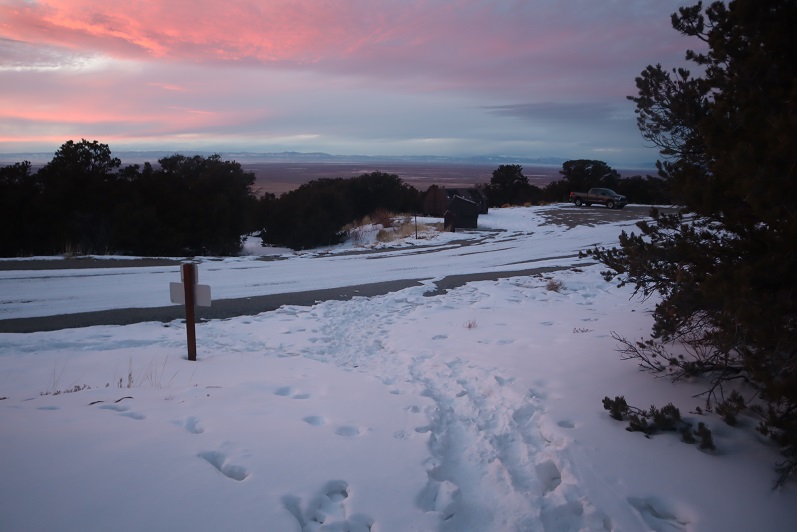
I only woke up one time during the night, and that was just to put on my thermal top and hide under another layer of covers. When my alarm went off at 1:30am I started my coffee and decided it was too early to get out of my warm truck-bed, so I re-set my alarm and didn’t get up until 2:15am. I was on the trail by 2:30am.
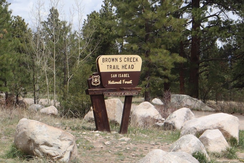
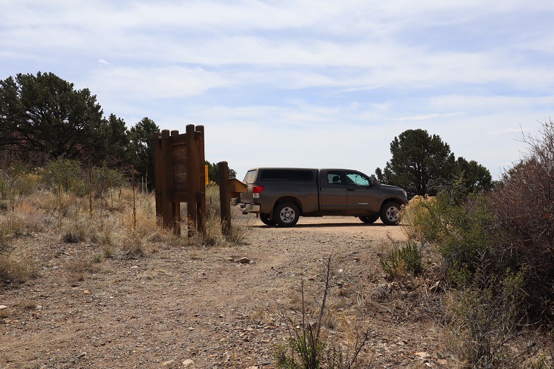
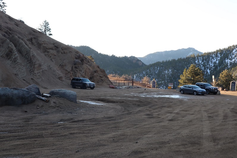
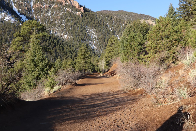
The road to Browns Creek Trailhead is an easy 2WD dirt road.
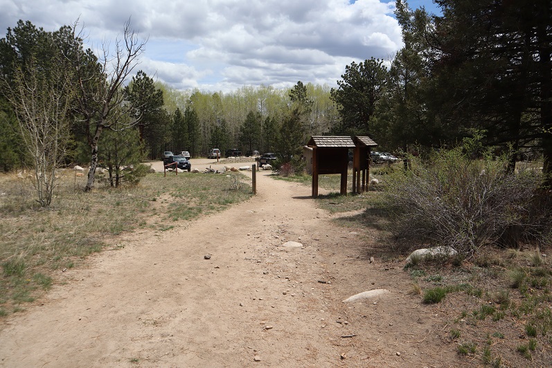
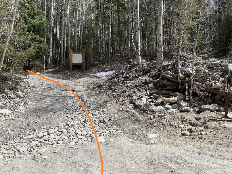
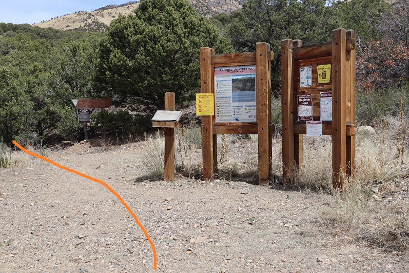
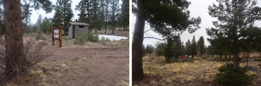
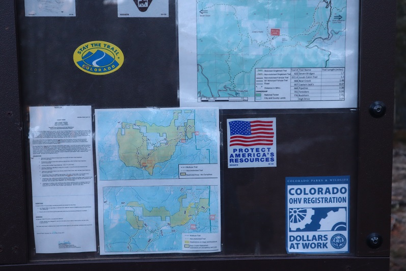
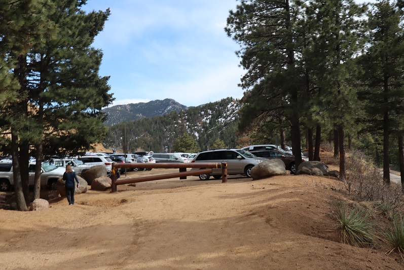
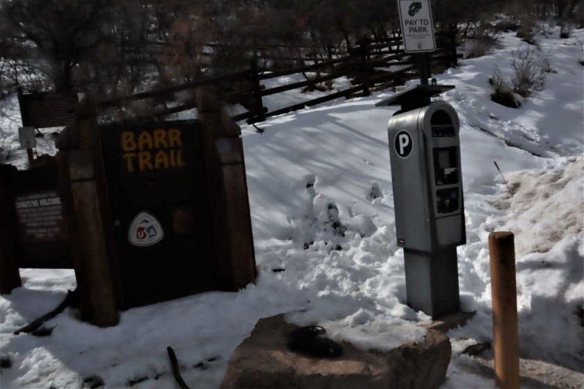
The trailhead had plenty of parking and restrooms (which are currently closed due to Covid-19: they had signs asking us to “recreate responsibly”). The trail starts at the north end of the parking lot, and follows trail 1429 west
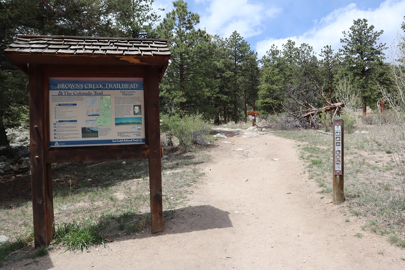
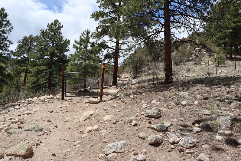
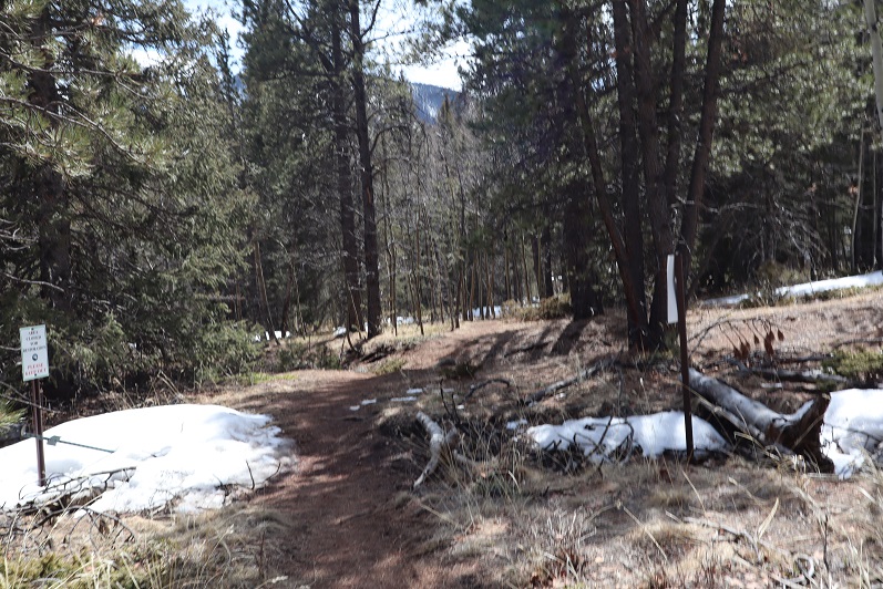
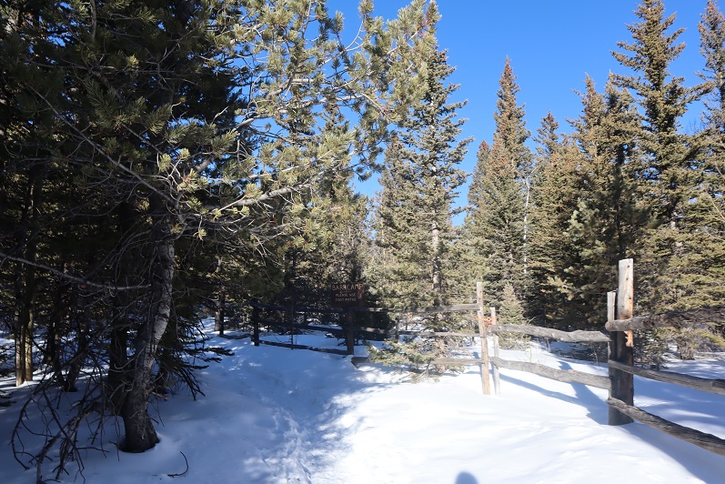
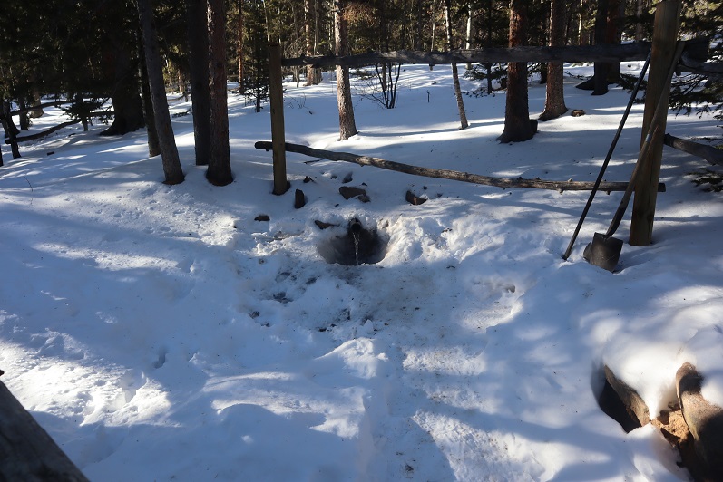
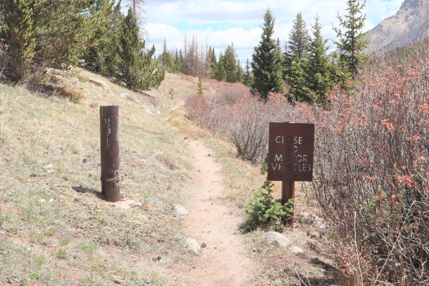
I passed through an unlocked gate

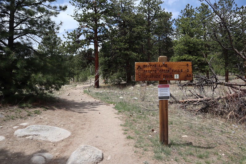
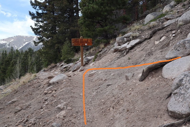
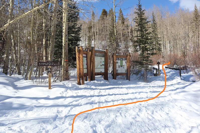
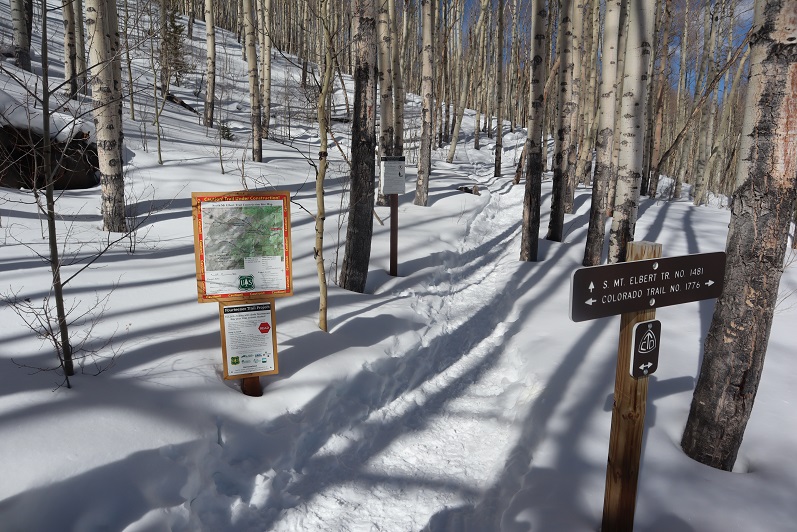
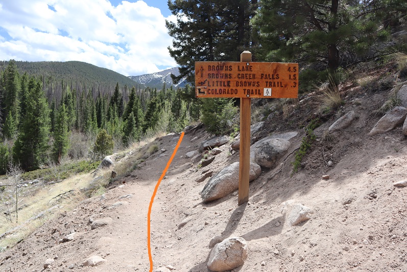
After hiking for 1.5 miles I came to a junction and continued west on trail 1429
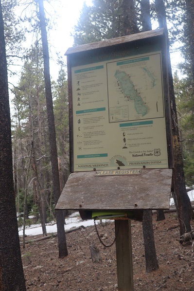
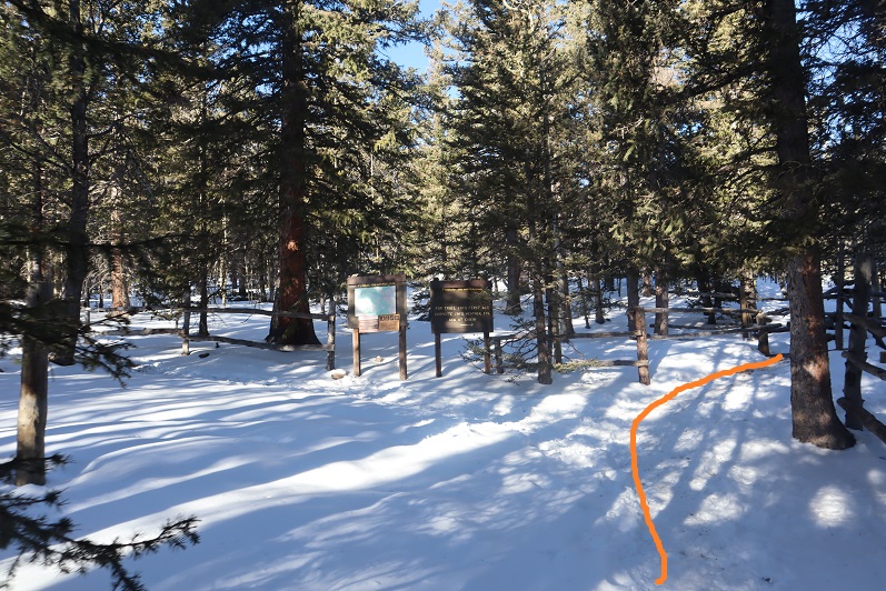
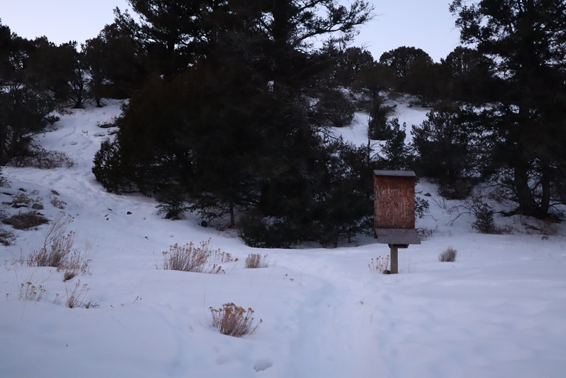
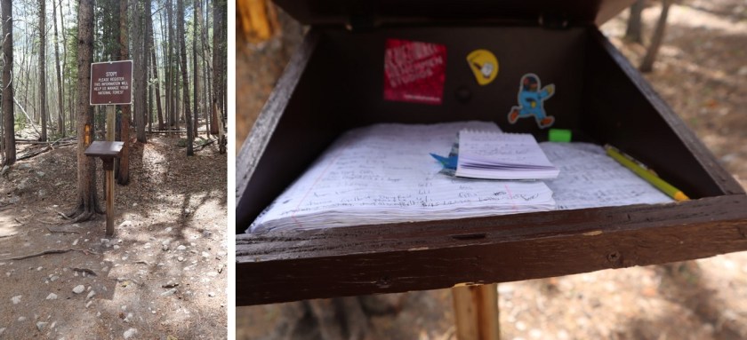
Shortly after the junction there was a hiking register with a spiral notebook inside that had every single page full. On my way back someone had left a small 3 x 5 notepad for people to write on inside. This must be a popular trail. Here is also where I realized I’d left my creek crossing sandals in my truck. I hoped that didn’t come back to haunt me…
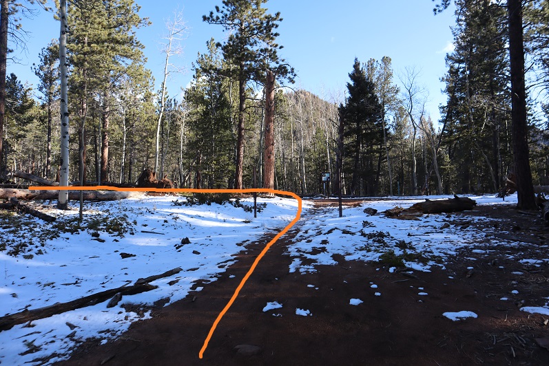
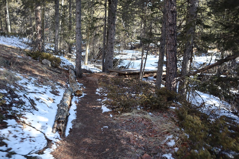
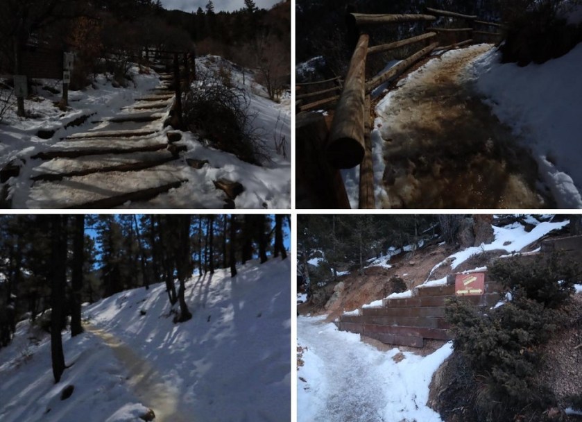
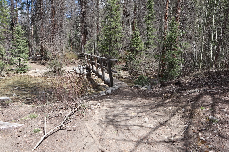
I crossed Browns Creek several times, always on a good footbridge
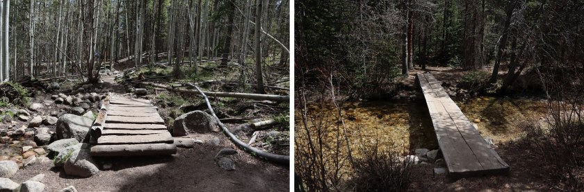
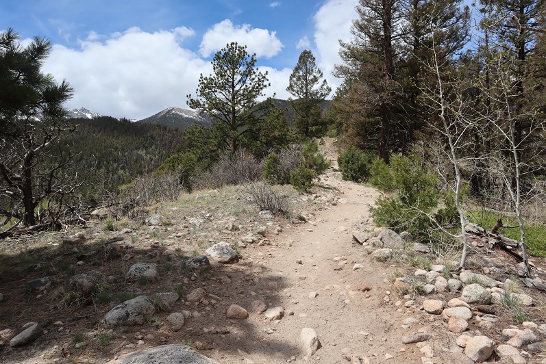
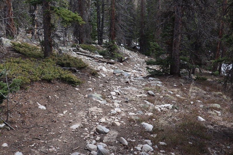
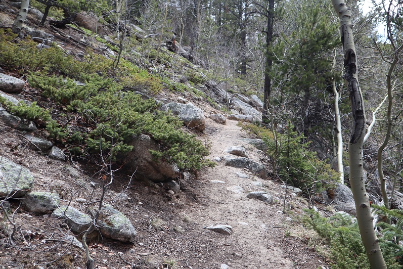
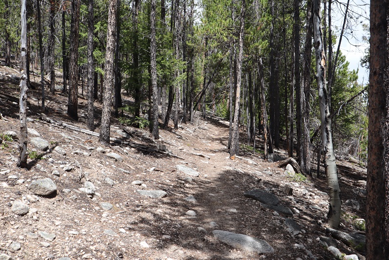
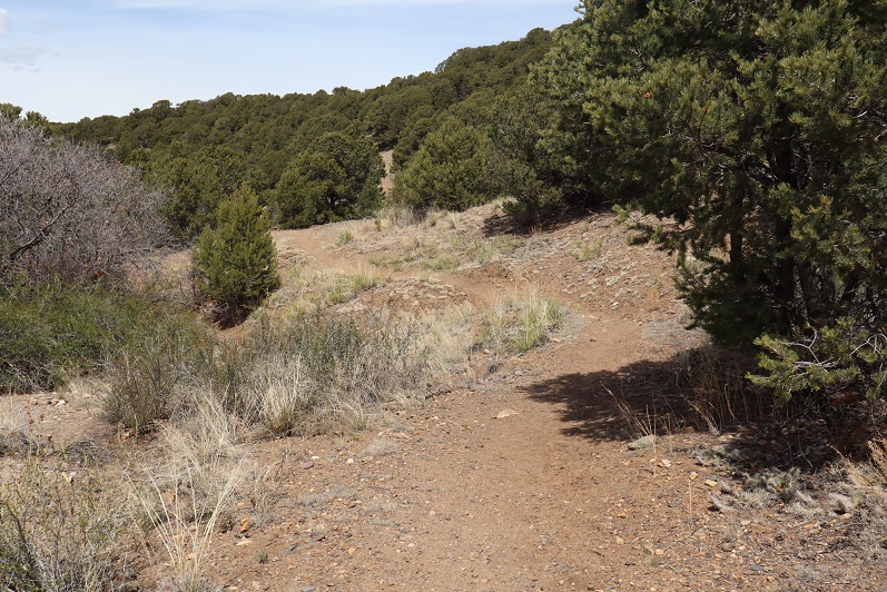
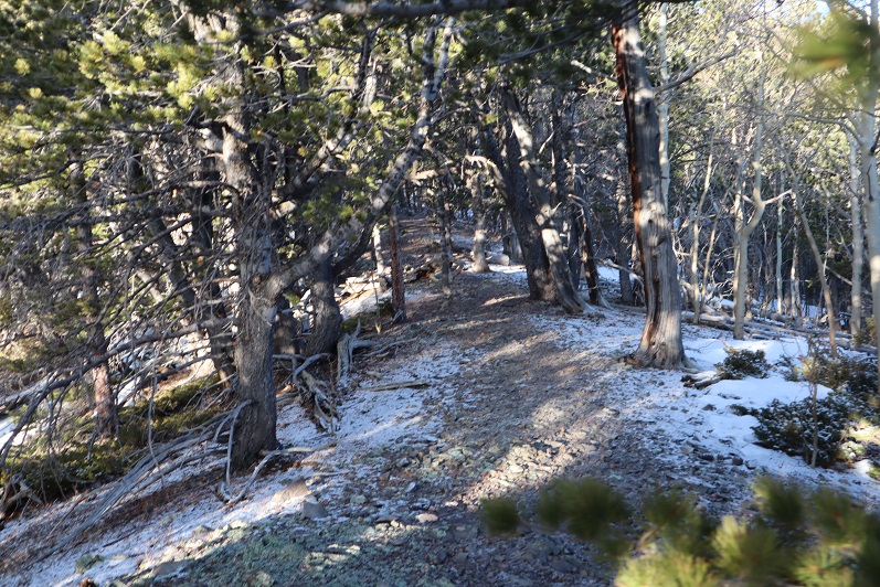
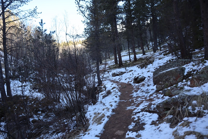
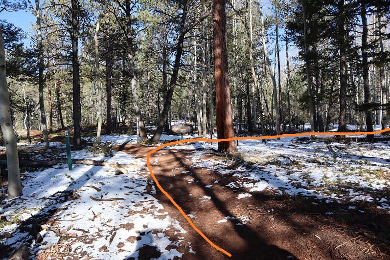
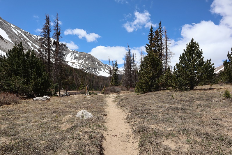
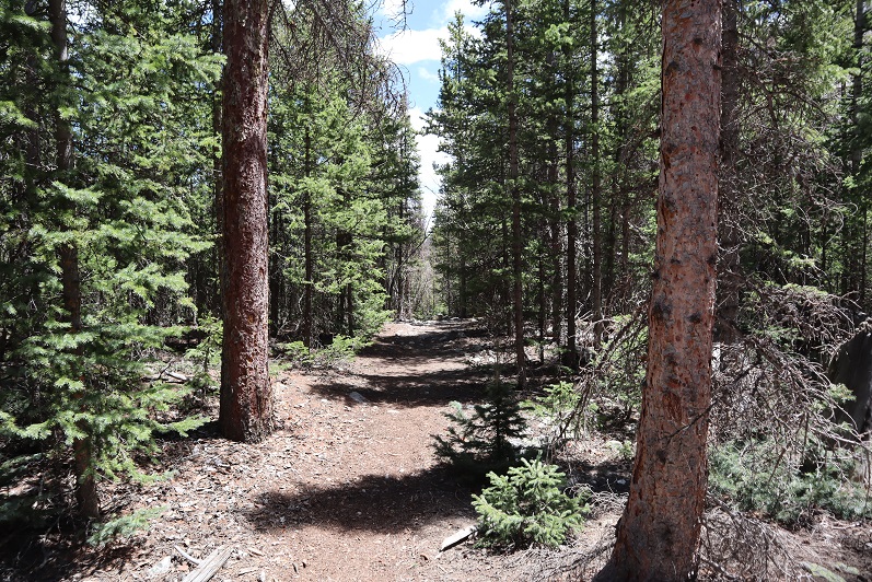
At 2.9 miles I crossed the last bridge and continued hiking along the class 1, well defined trail. Route finding was minimal.
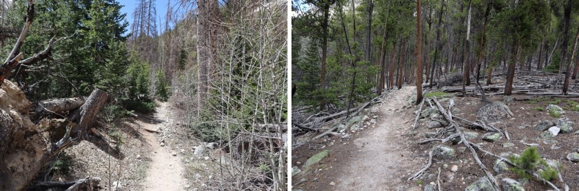
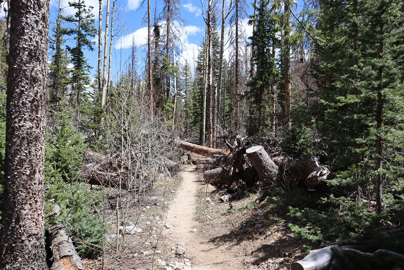
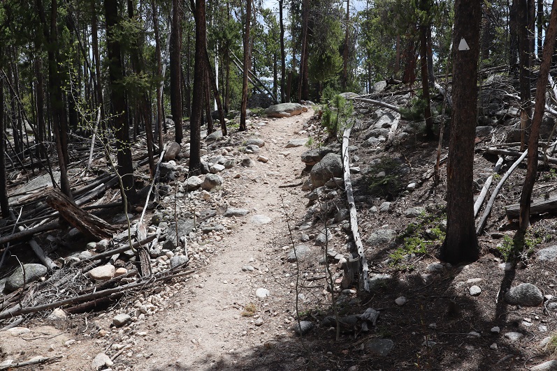
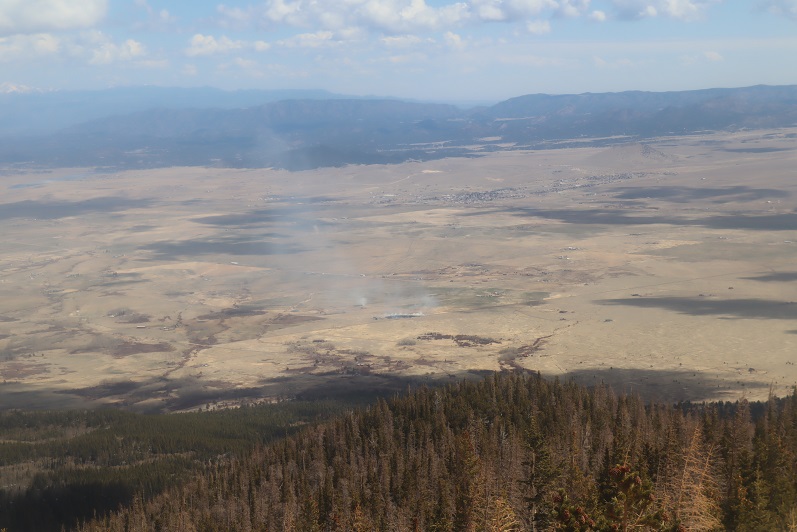
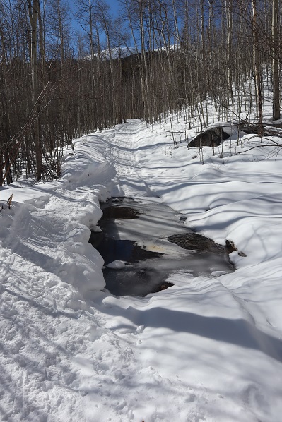
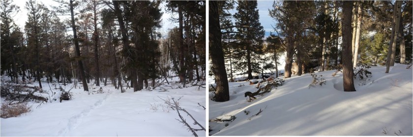
The trail parallels Browns Creek, which was difficult to see because of all the trees covering the water. It looks like there was a wildfire in the area some years ago, and the land is still recovering. The trail was mostly clear of trees however.

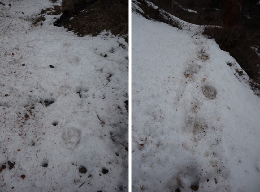
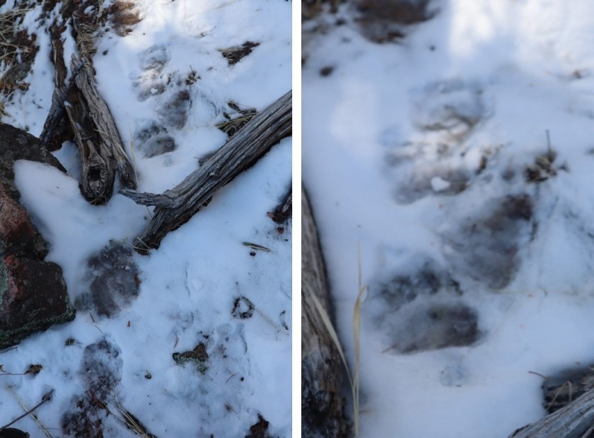
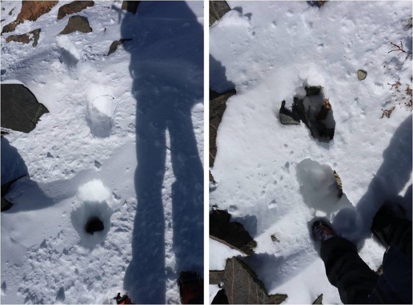
I was hiking this portion in the dark, and at one point I heard a rather loud twig snap off to my right. I did the only logical thing and used my trekking pole to make as much noise as I could, banging it loudly on every rock and tree I came across, and stopping every few yards for a while to turn around and scan the area with my flashlight. I never saw anything, but on my return noticed I’d been in an area with a lot of downed trees, as well as boulders that would make a great den for a large animal. Curiously, I also heard a loud noise in the daylight crossing the same area on my way back, but didn’t see anything.
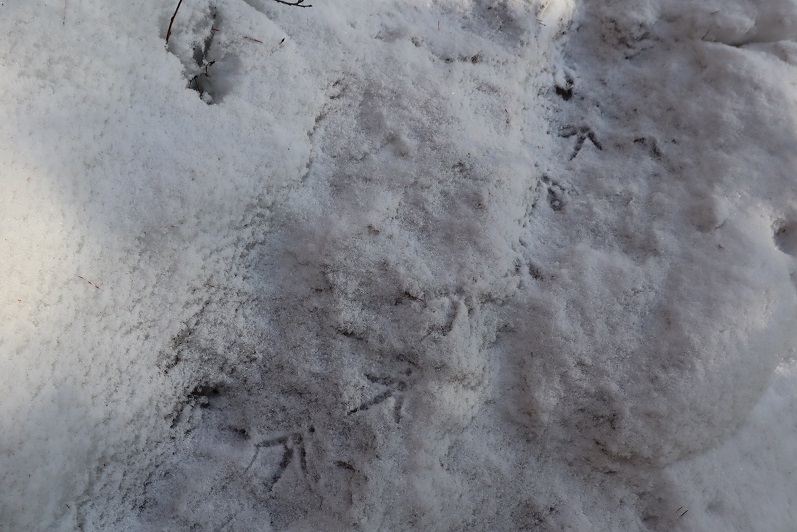
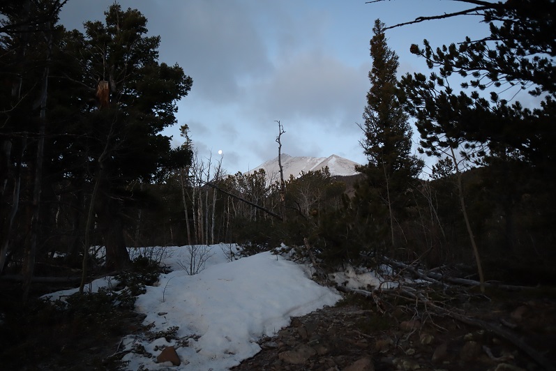
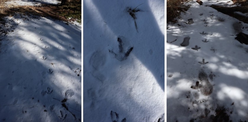
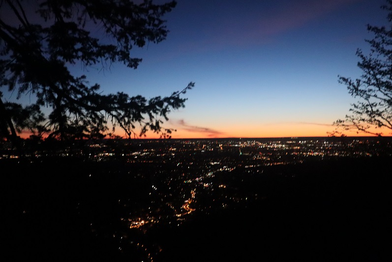
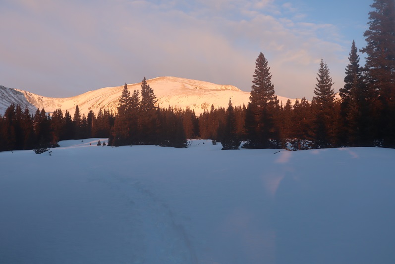
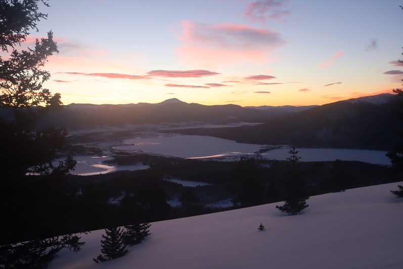
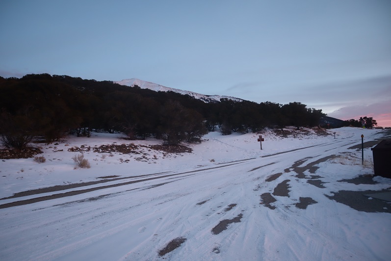
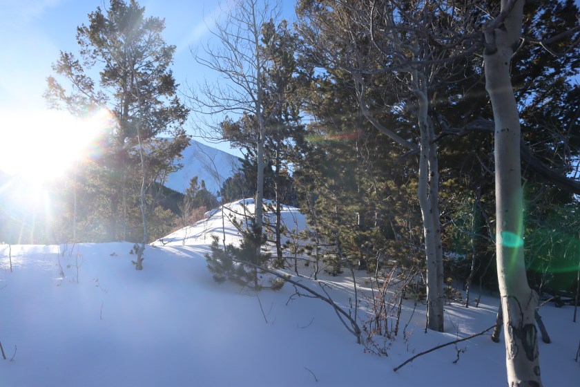
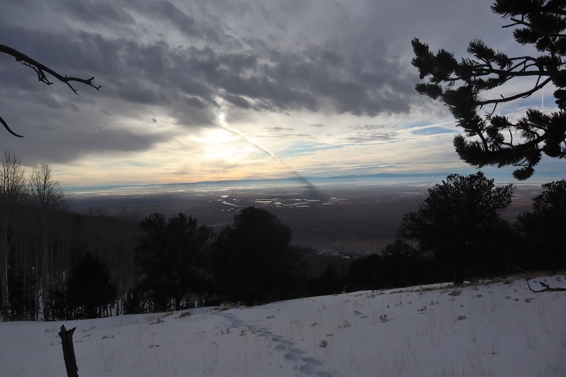
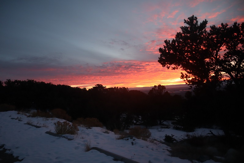
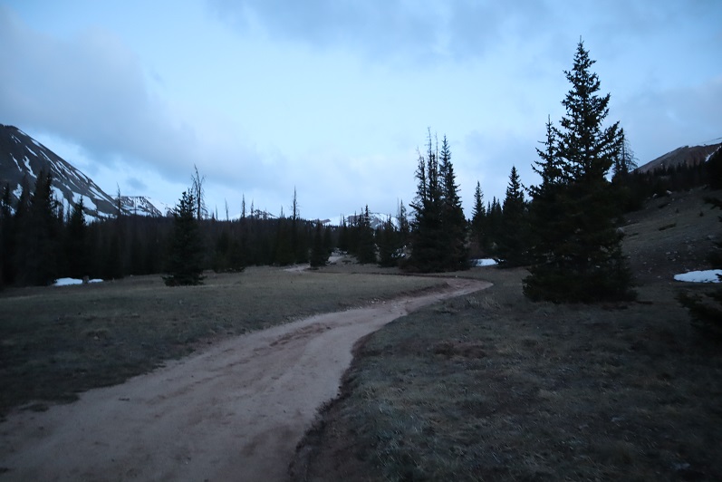
After hiking for about 3 hours in the dark the sun finally started to rise. My reward was hearing the birds wake up and wish each other a good morning. What’s even better is my presence didn’t seem to bother them
Birds:
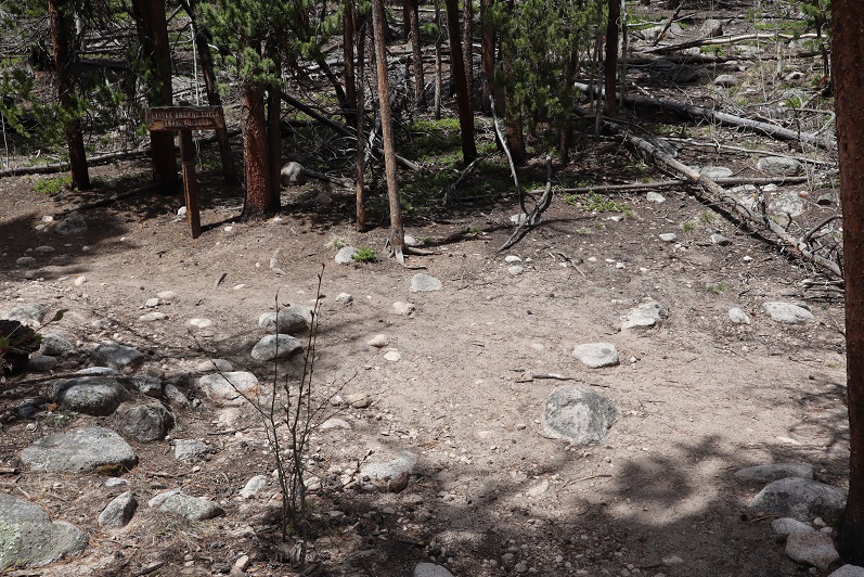
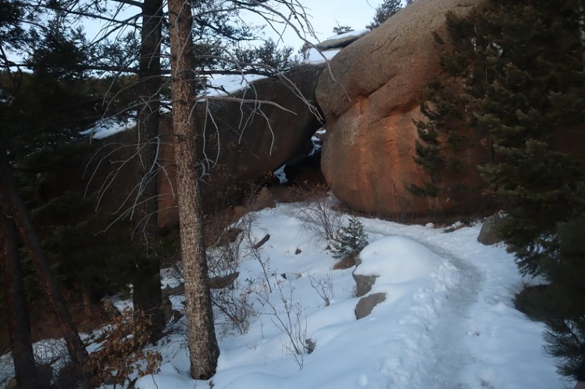
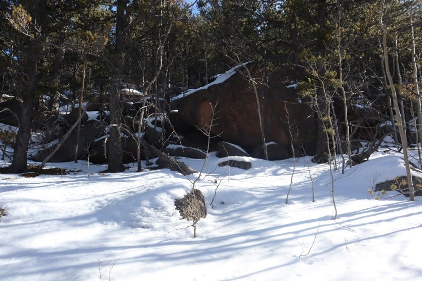
After hiking for 6 miles I came to a small boulder field
On the other side of this boulder field is Browns Lake
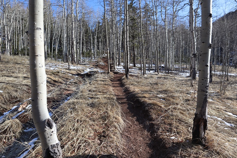
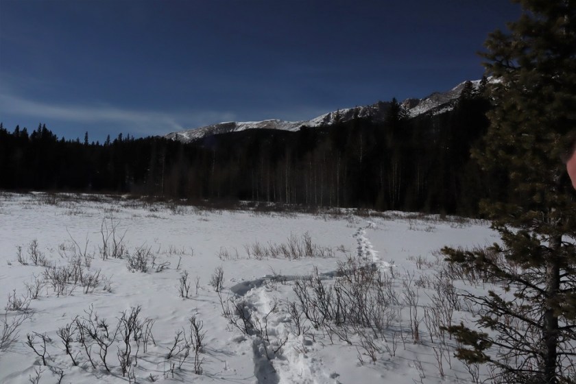
This area is marshy and has a lot of willows. Unfortunately, I didn’t see any wildlife or signs of wildlife (besides the birds). I continued west along the trail
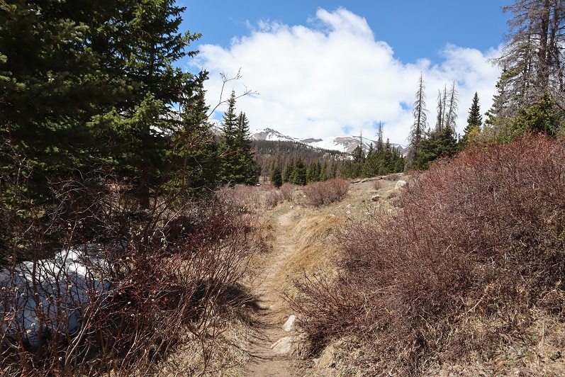
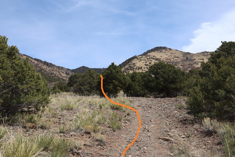
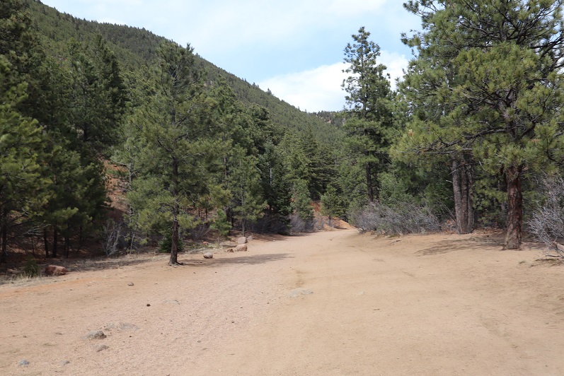
Until it turned into a 4WD dirt road
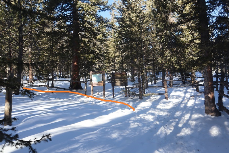
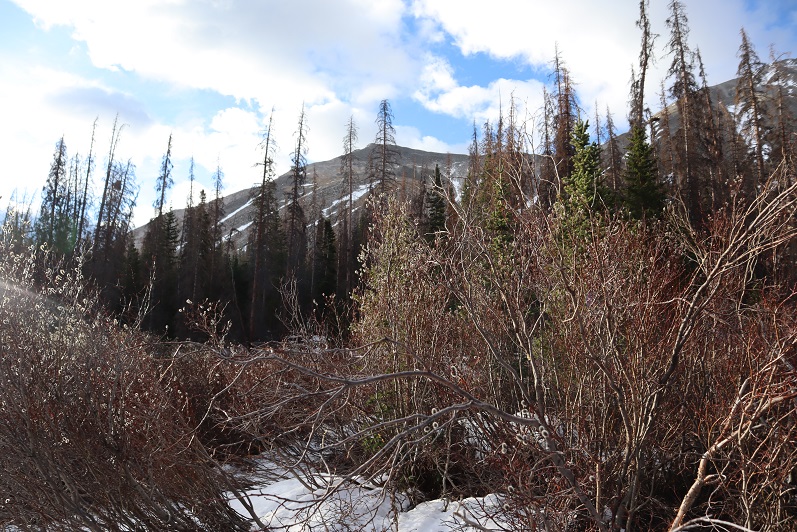
I followed the road for .6 of a mile before coming to a creek. This is where the route finding became tricky. I needed to leave the road and traverse the east side of the mountain and make my way towards the marsh area, cross the willows, and then enter back into the trees and find my way to treeline.
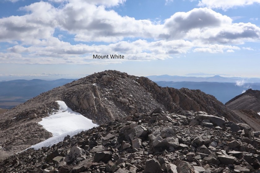
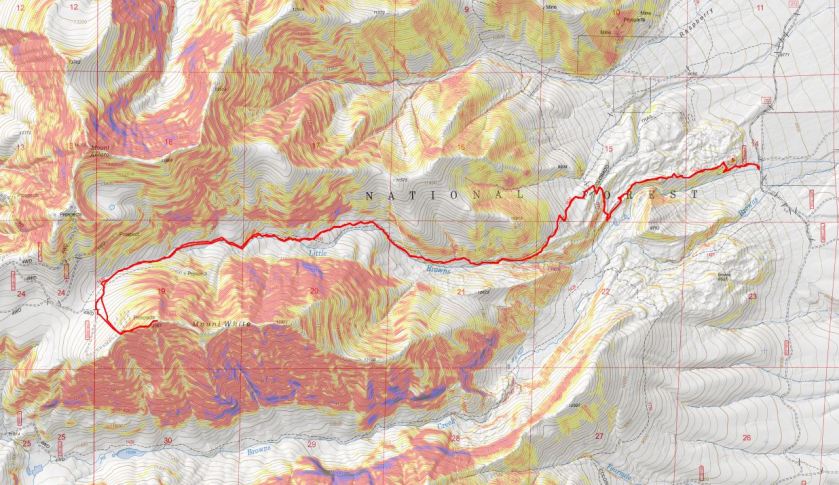
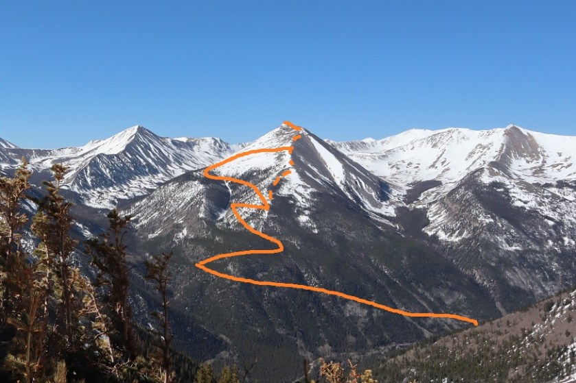
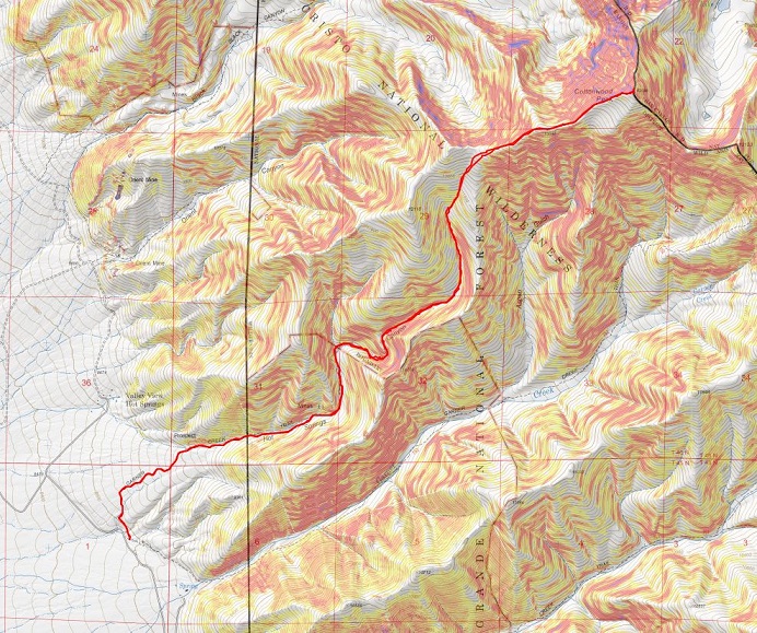
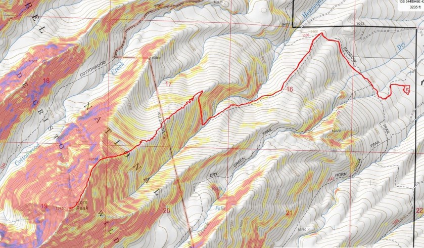
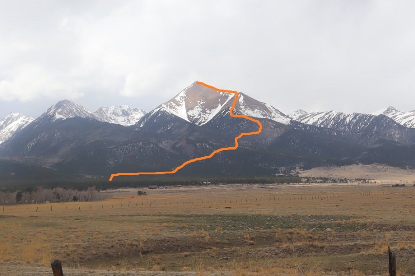
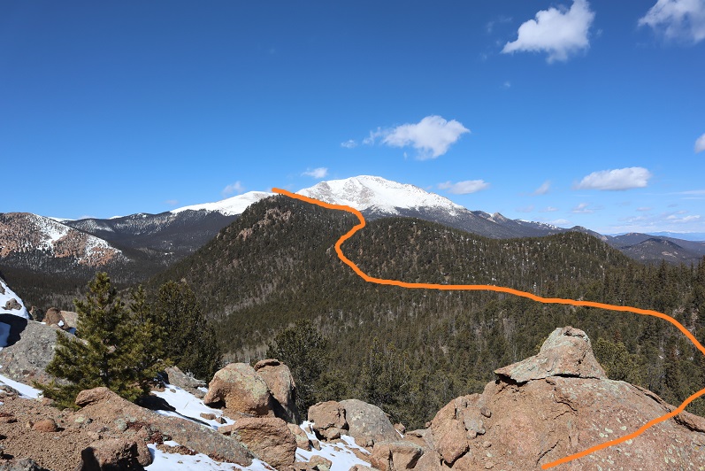
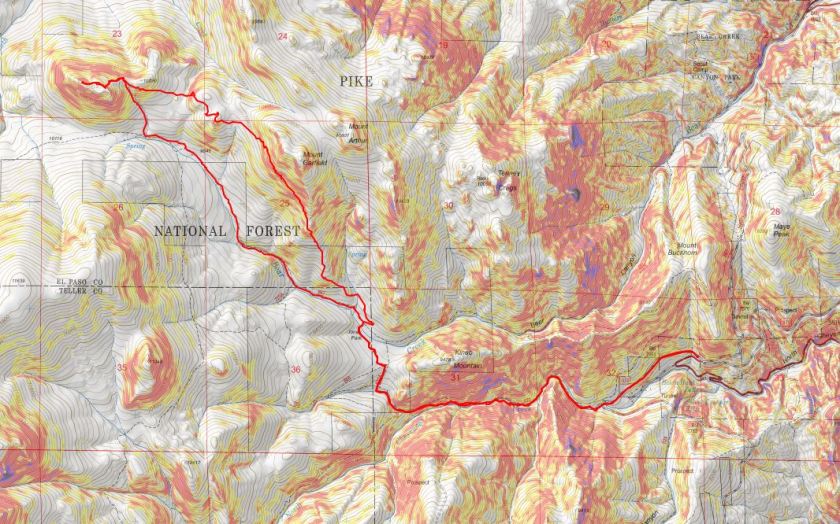
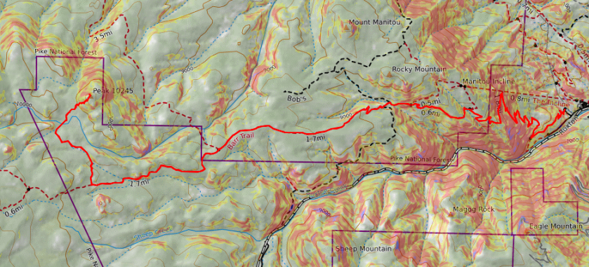
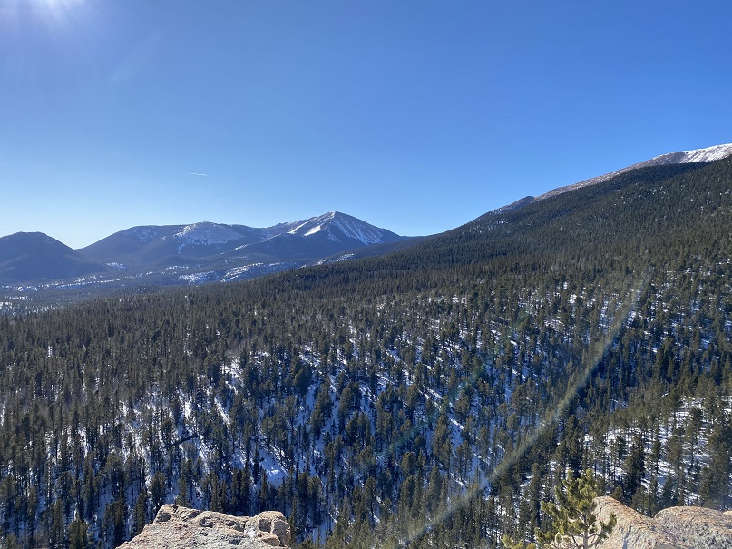
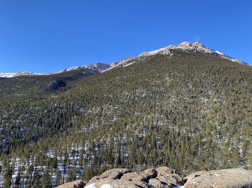
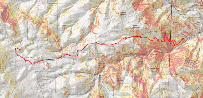
Yesterday while on the summit of Mount White I visually tried to get a good view of the route I wanted to take. This 1 mile section included lots of route finding. I’ll do my best to give you pictures so it’ll be easier for you (as you can see from my topo below, I had to do some route finding and backtrack a few times myself to figure out the correct path).
Here’s an overview:
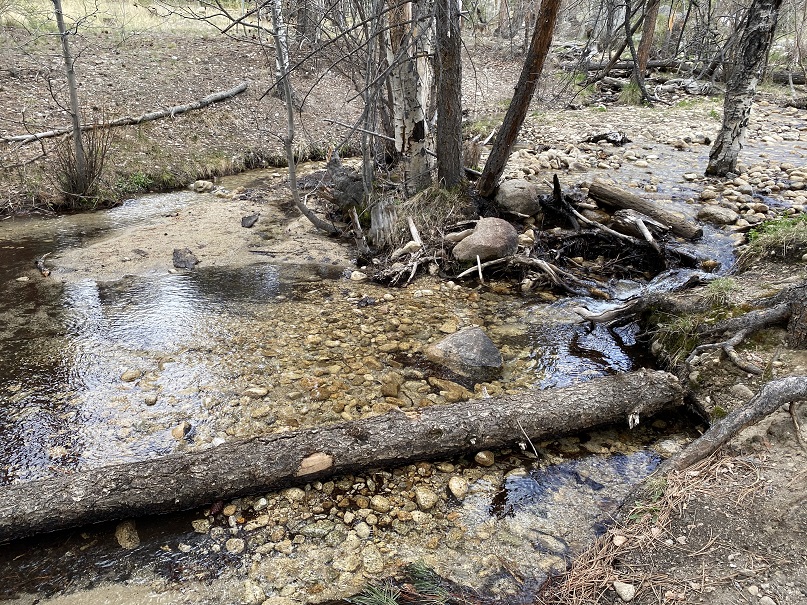
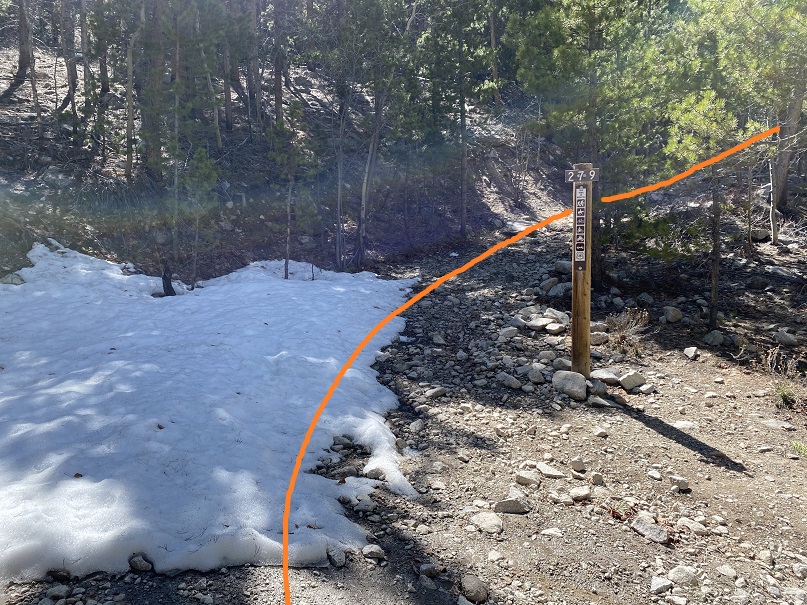
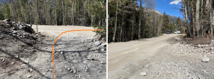
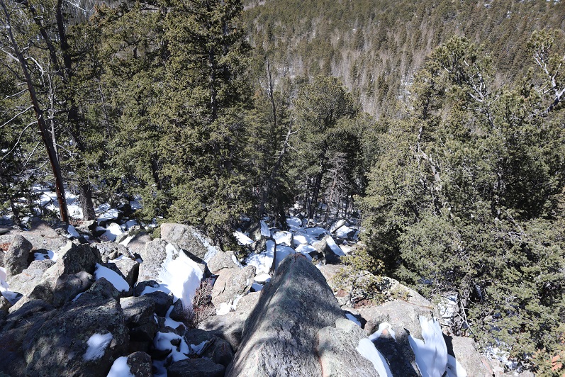
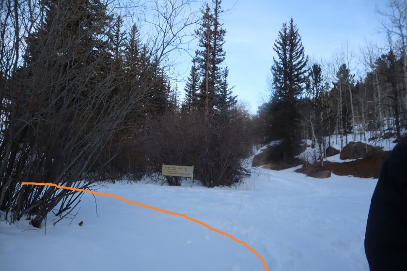
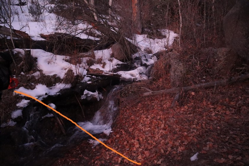
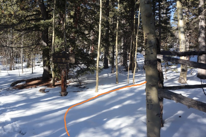
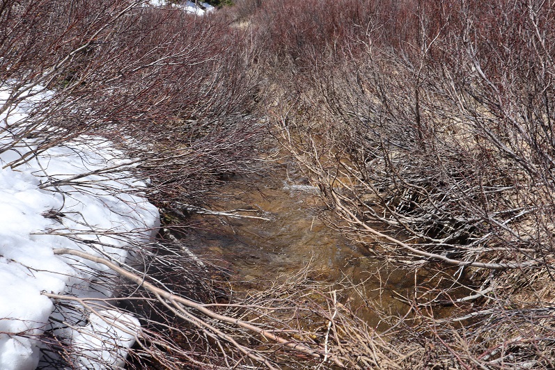
I left the 4WD road after hiking a total of 7.5 miles (I was at 11600’). I hiked south to cross the creek. It is important you cross here because there’s a small gorge you want to avoid to the left (east)

There is no trail here, and yes, the willows suck.
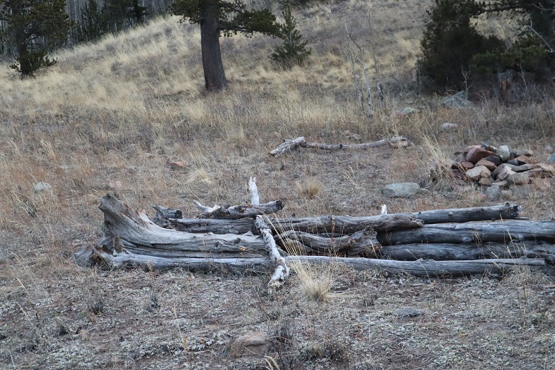
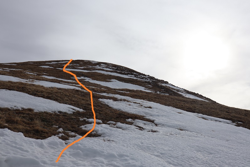
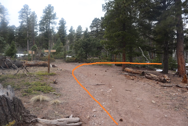
Once you’ve crossed the stream, make your way up the banks to the top and then skirt the mountainside to the left

To the left is the small gorge you’re trying to avoid.
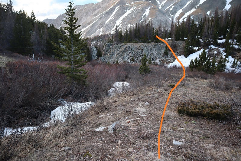
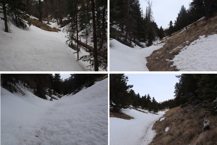
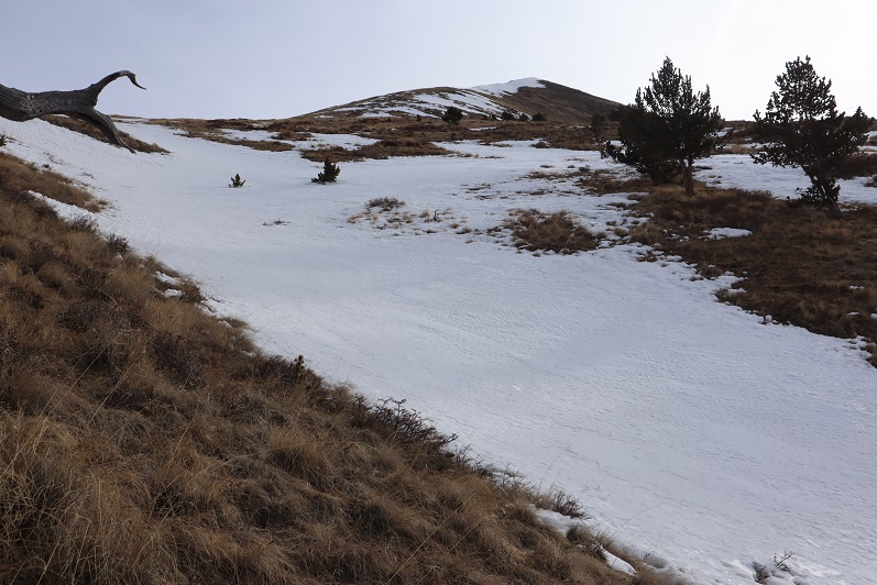
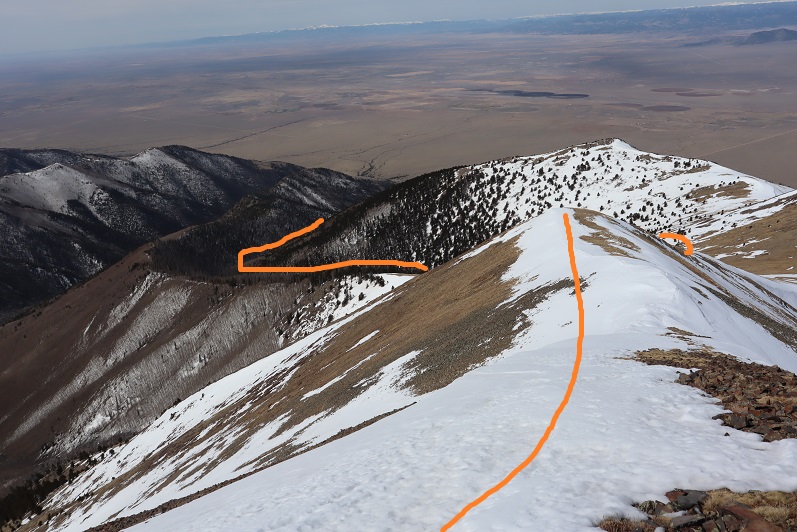
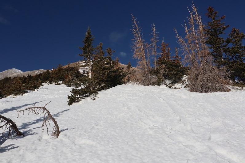
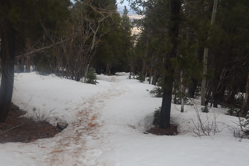
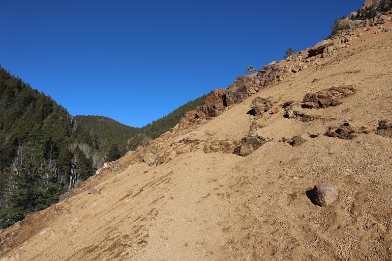
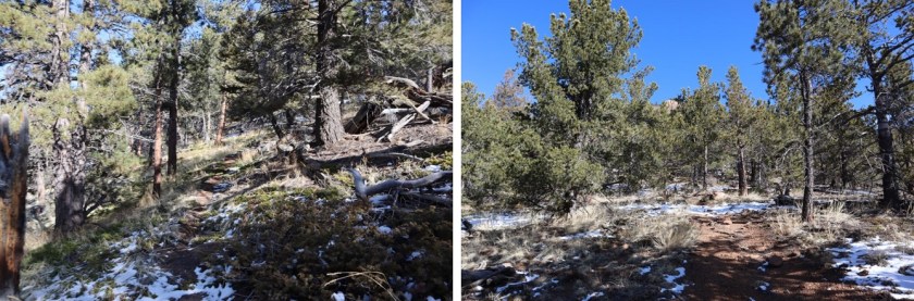
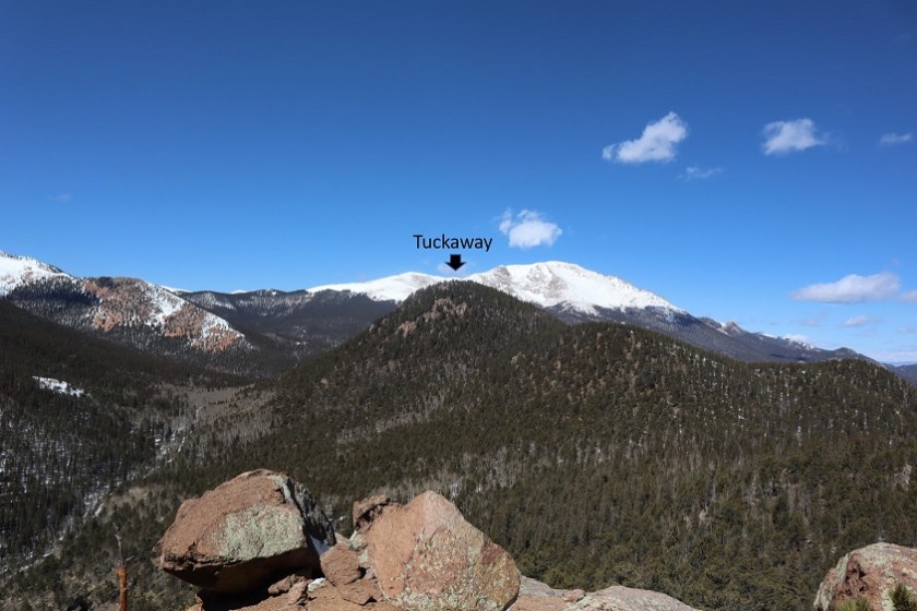
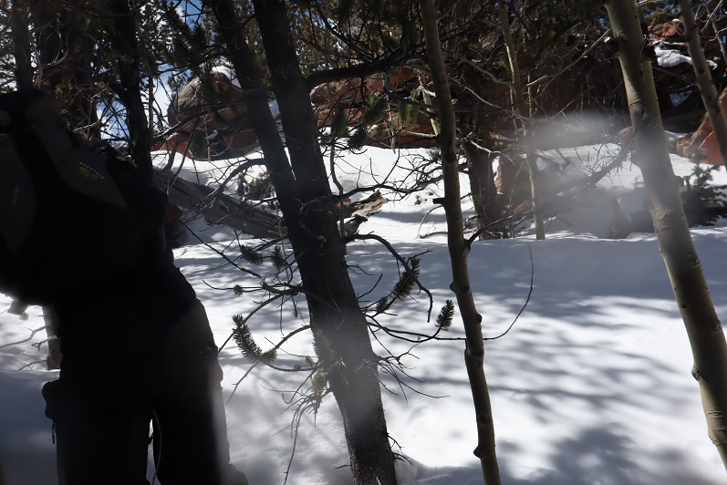
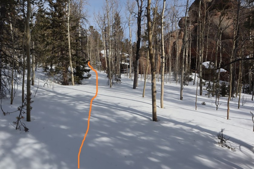
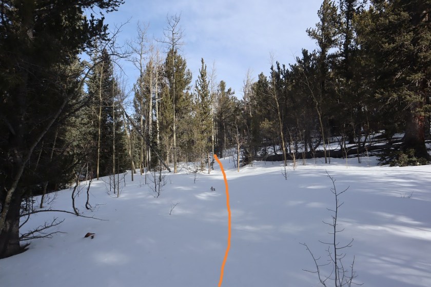
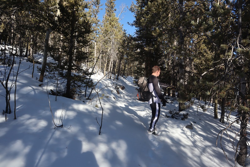
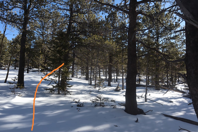
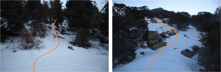
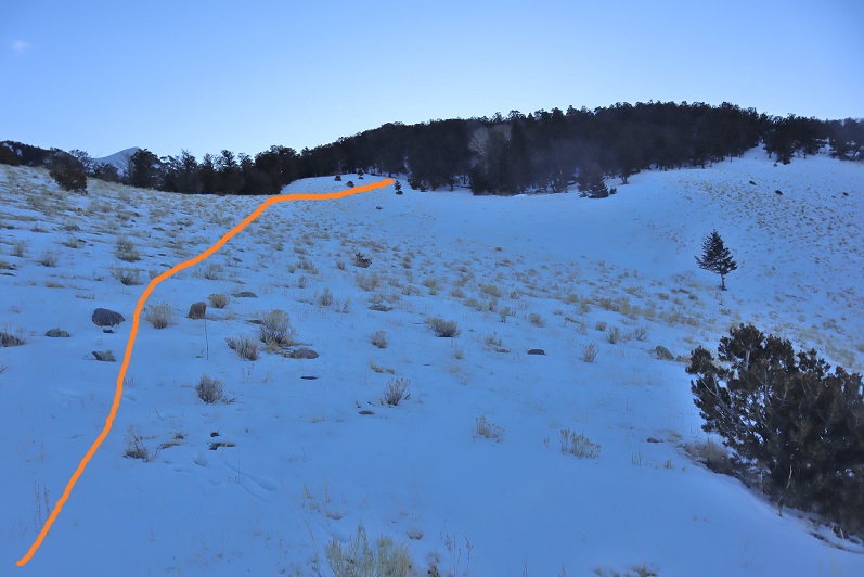
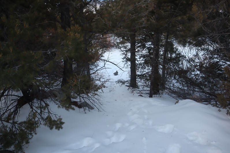
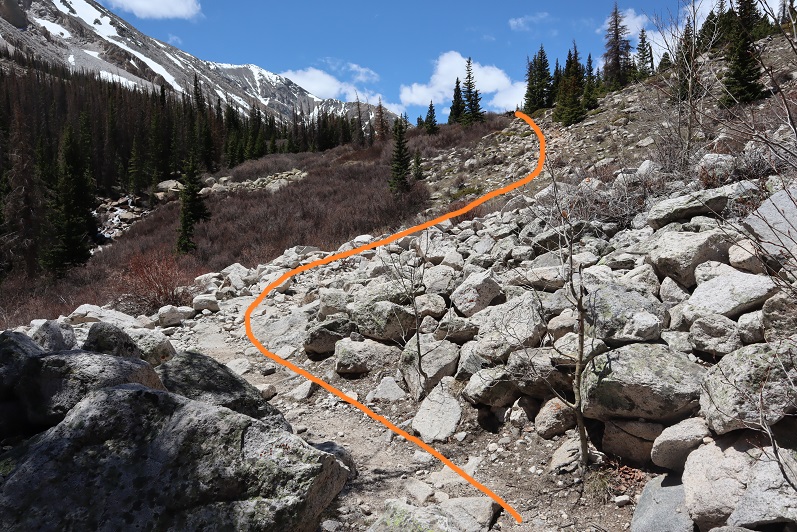
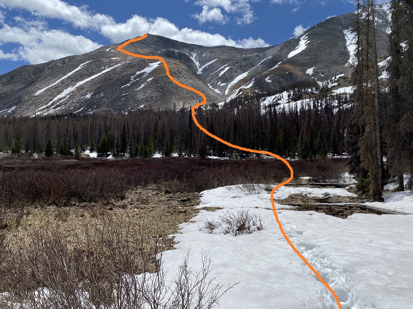
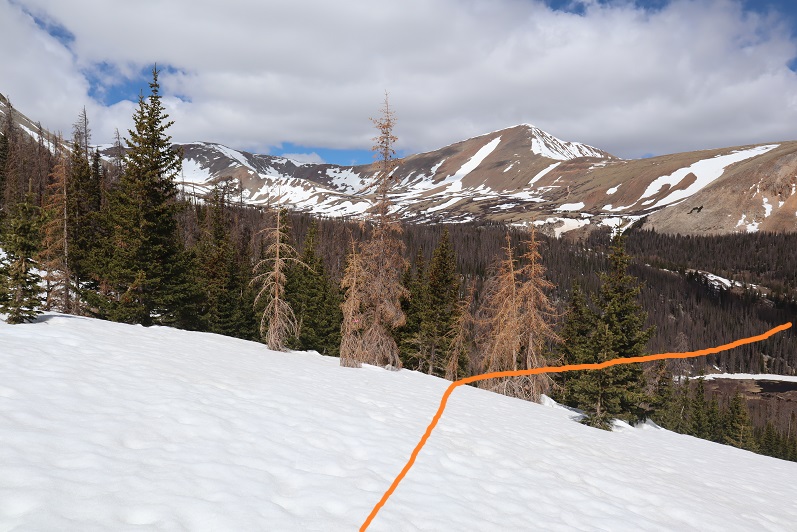
From here you don’t need to hike along the ridge because you’re really aiming for the marsh. The reason you’re hiking towards the center of the hillside and not the top or bottom is to avoid the gorge and some rock outcroppings closer to the marsh on your way in. There’s no need to hike all the way to the top because you’ll be heading back down anyway. Here is where the route finding got fun, and I needed to strap on my snowshoes. Here are a few visuals:
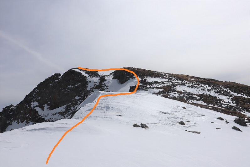
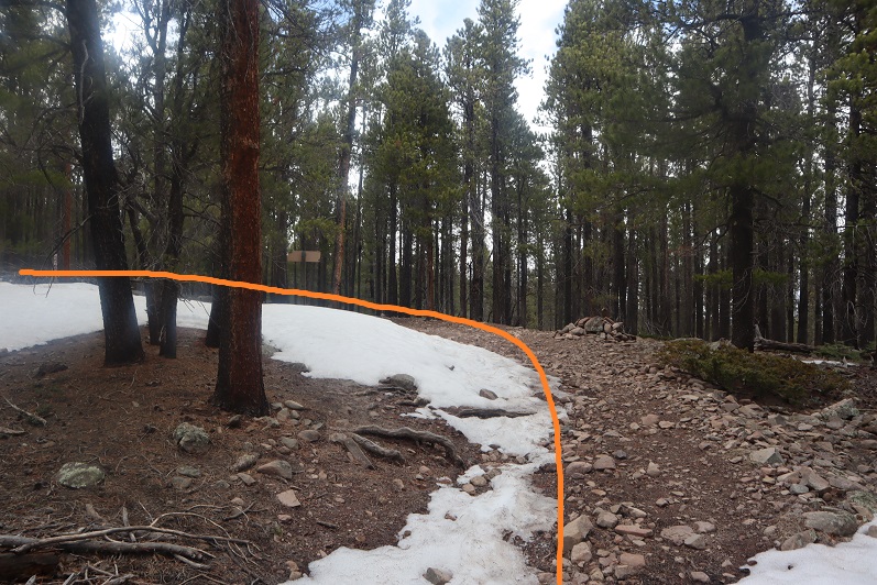
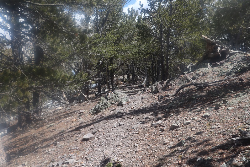
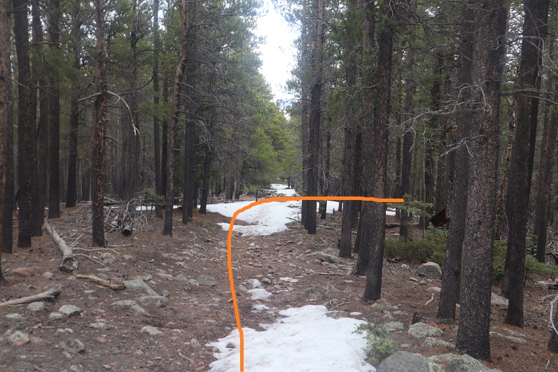
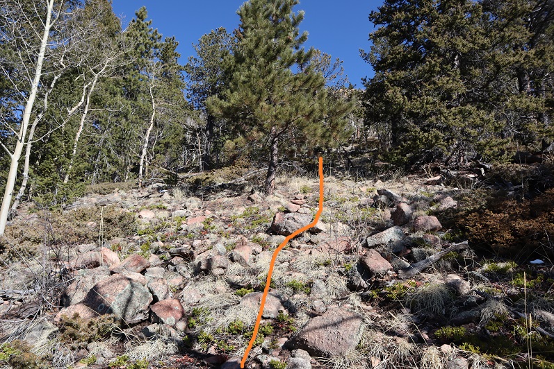
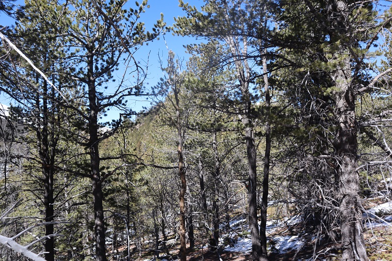
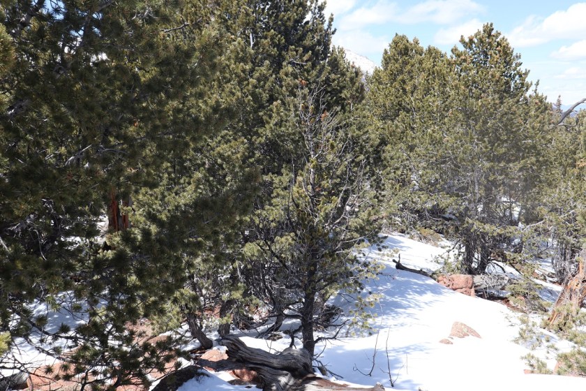
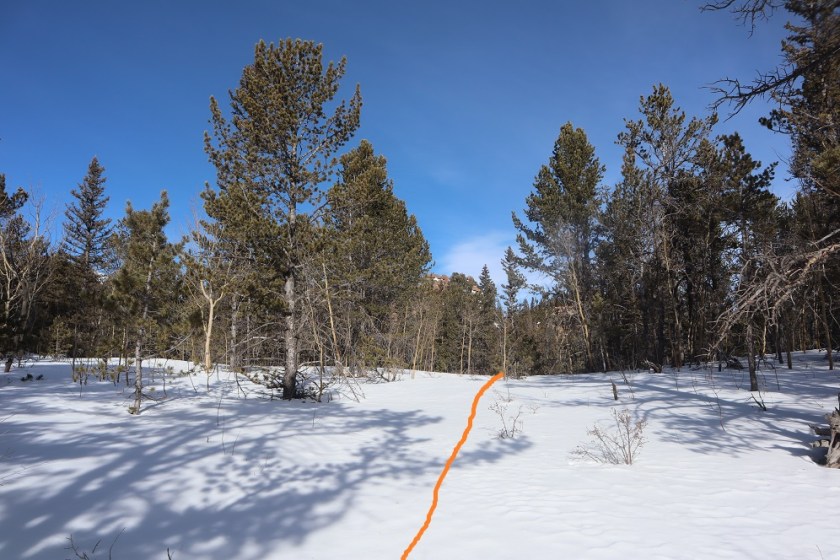
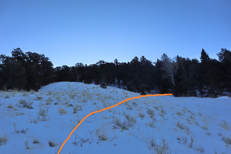
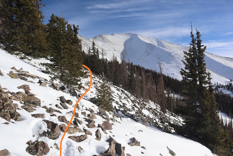
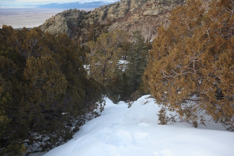
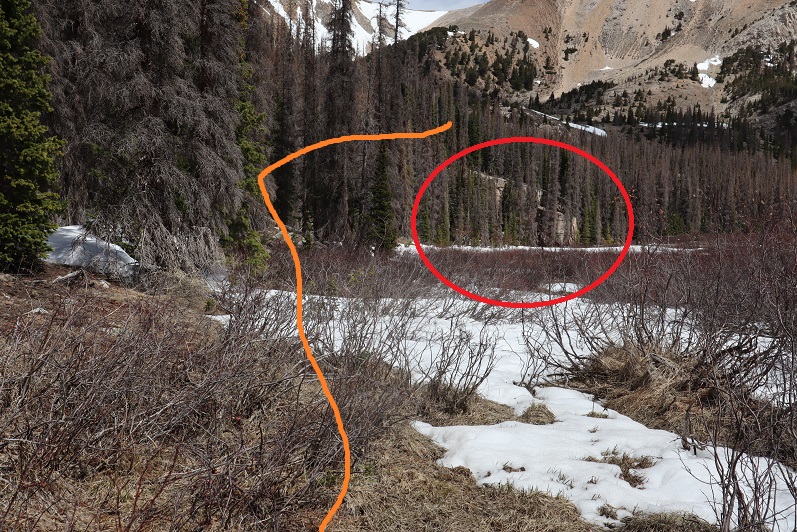
You’ll want to avoid the rocks to the left and head into the trees (no trail)

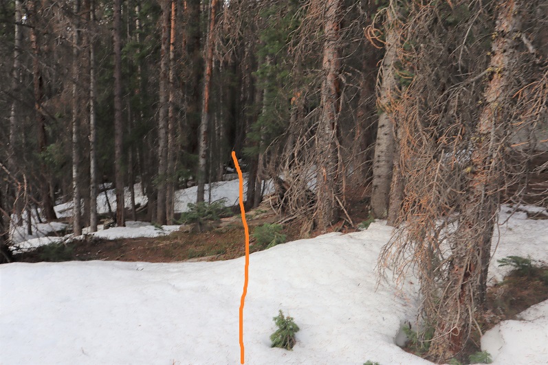
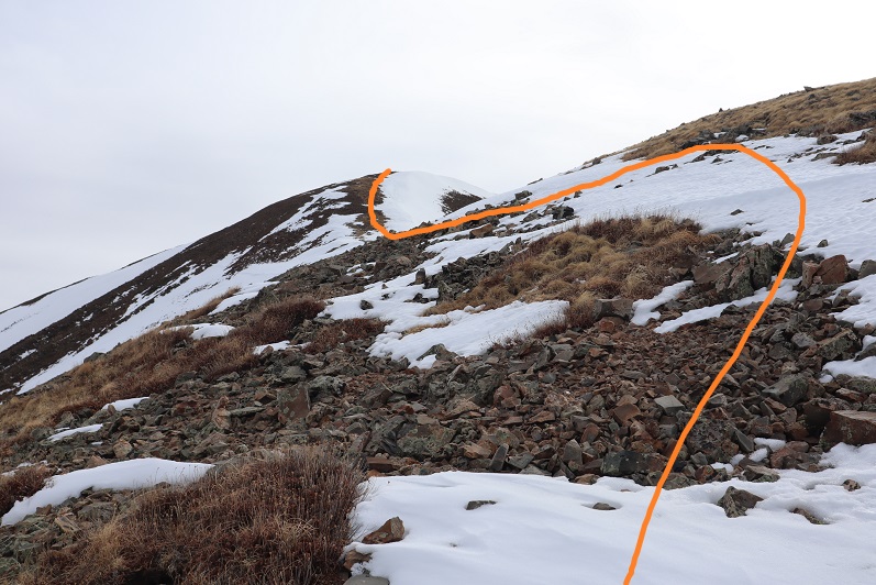
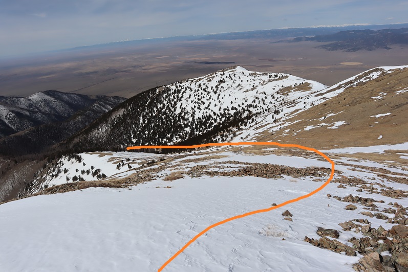
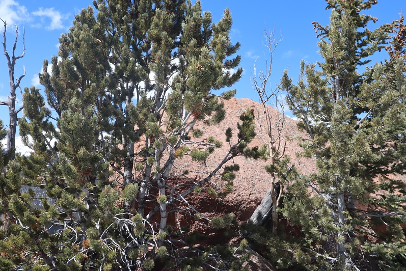
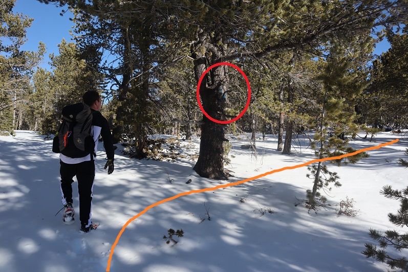
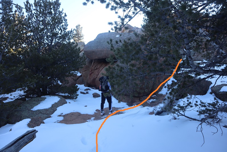
To avoid the large rocks (circled in red)

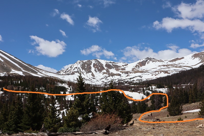
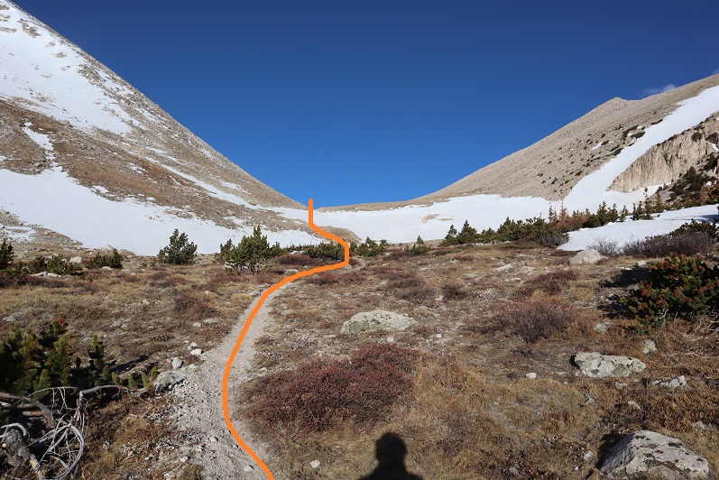
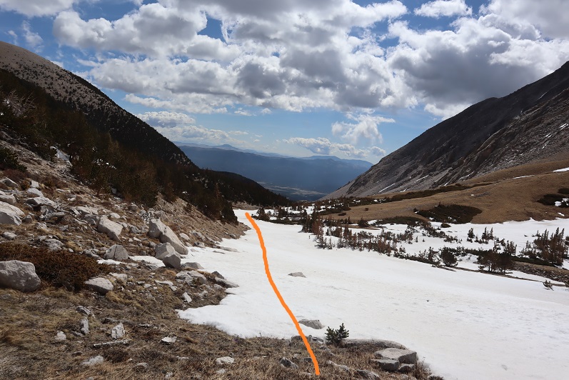
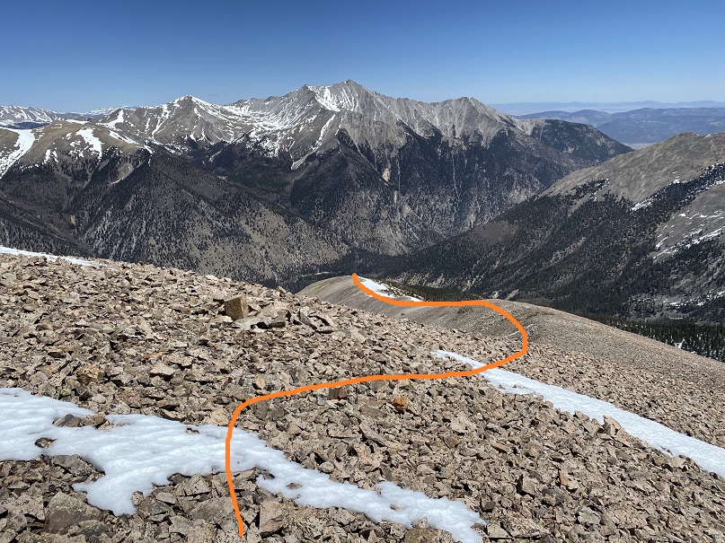
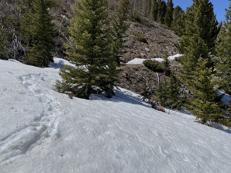
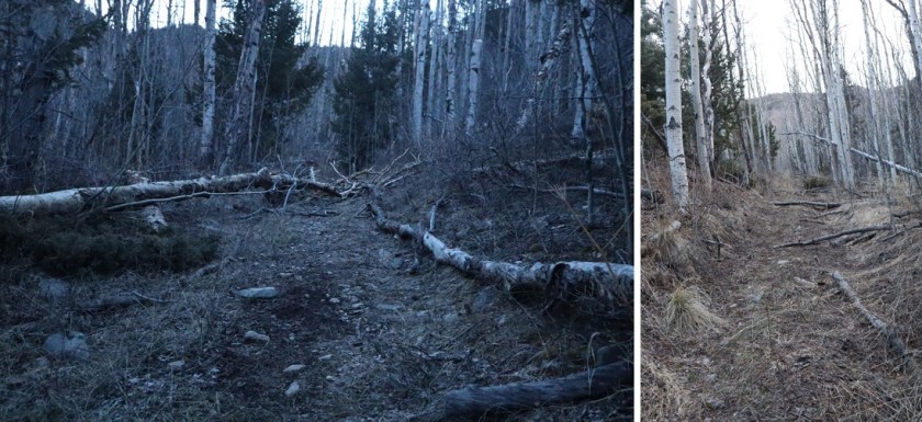
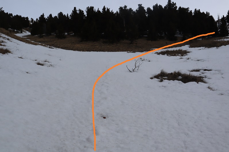
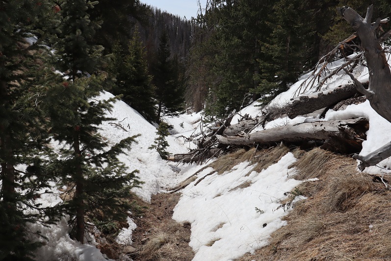
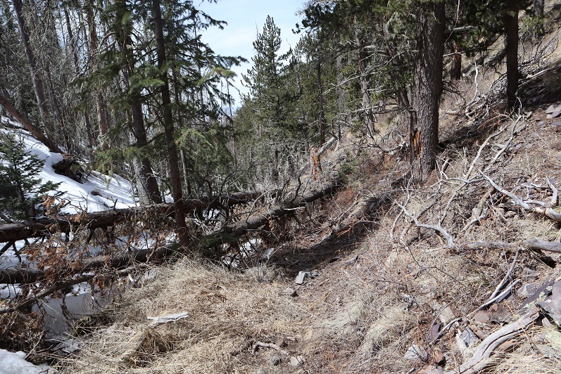
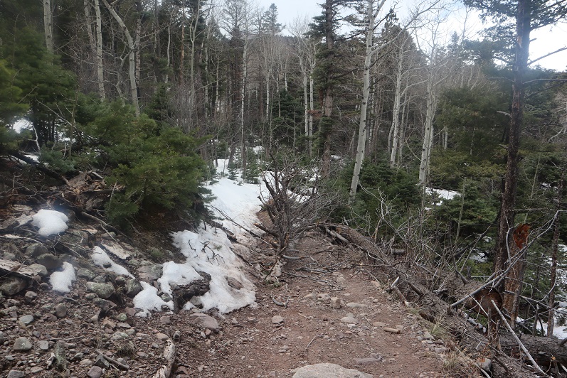
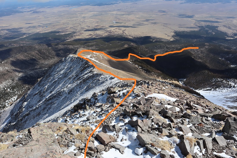
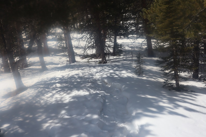
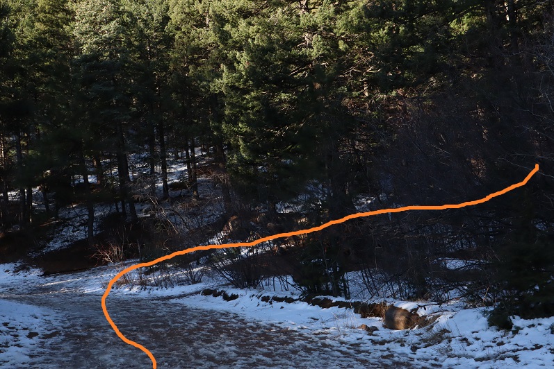
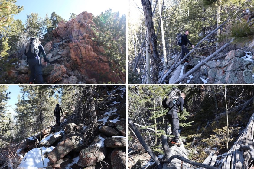
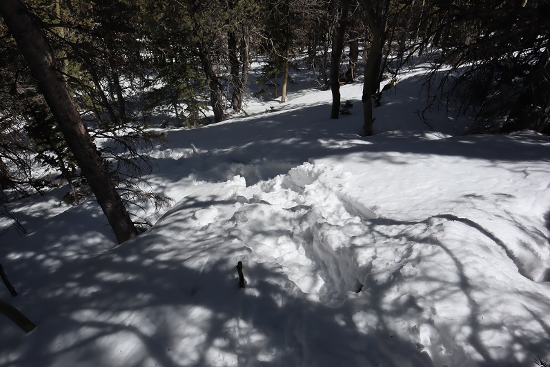
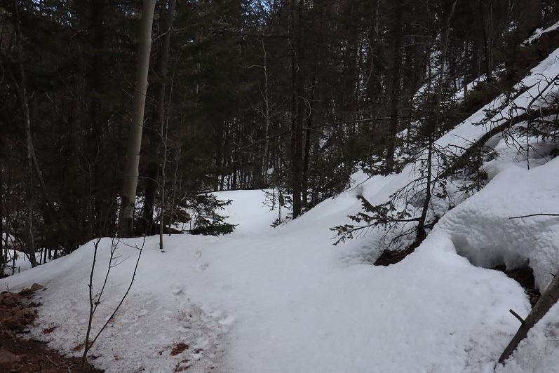
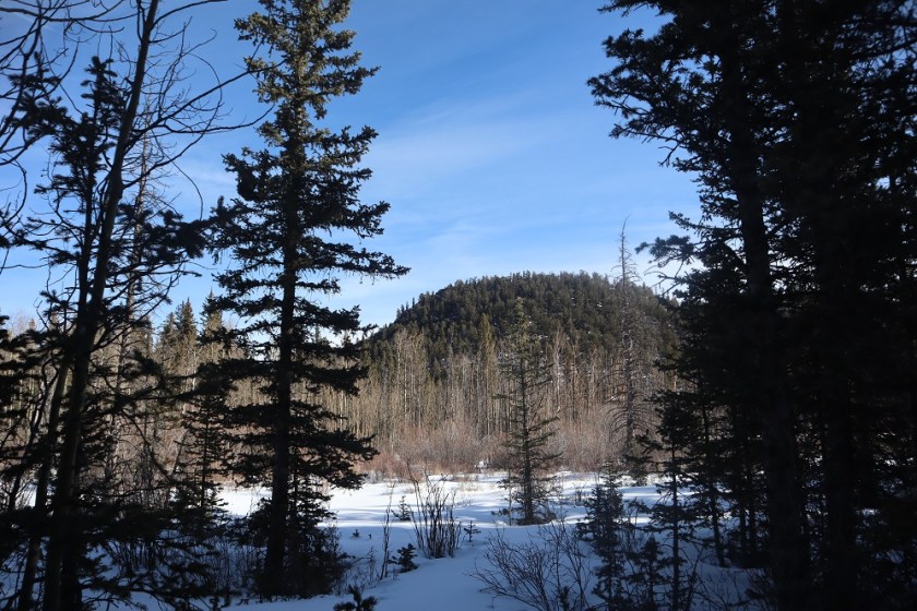
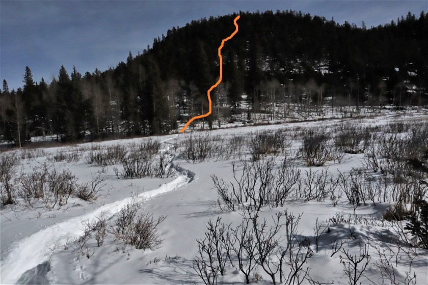
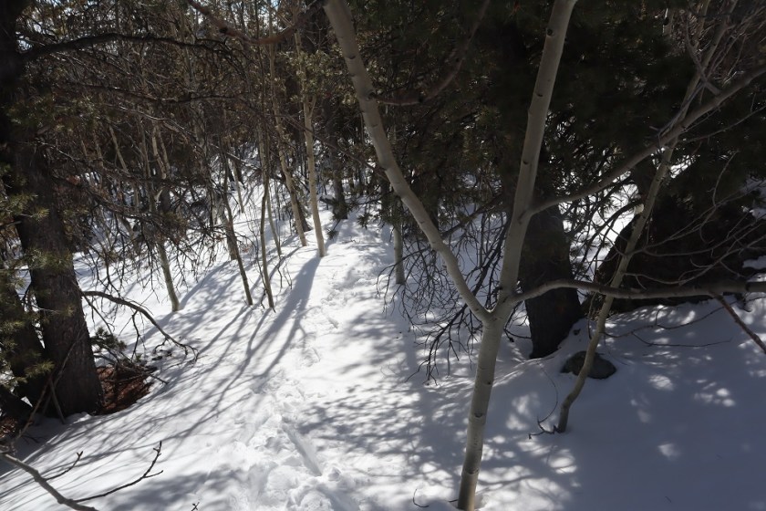
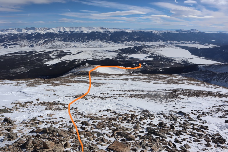
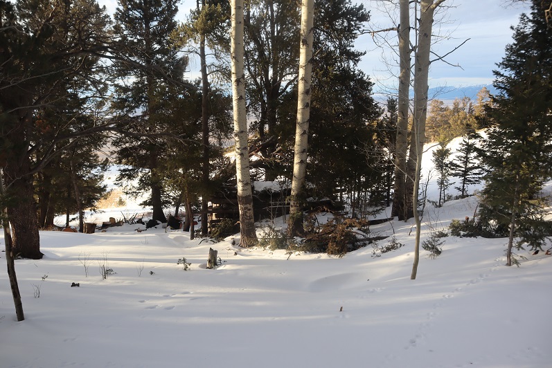
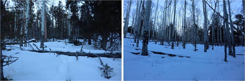
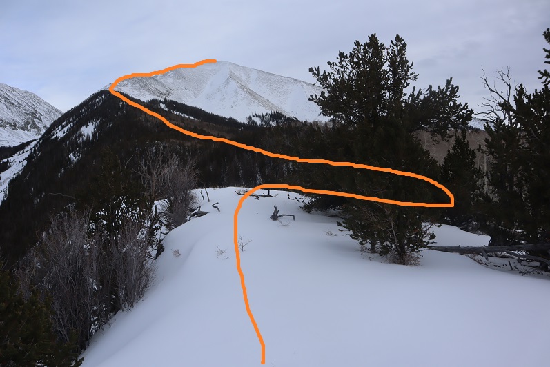
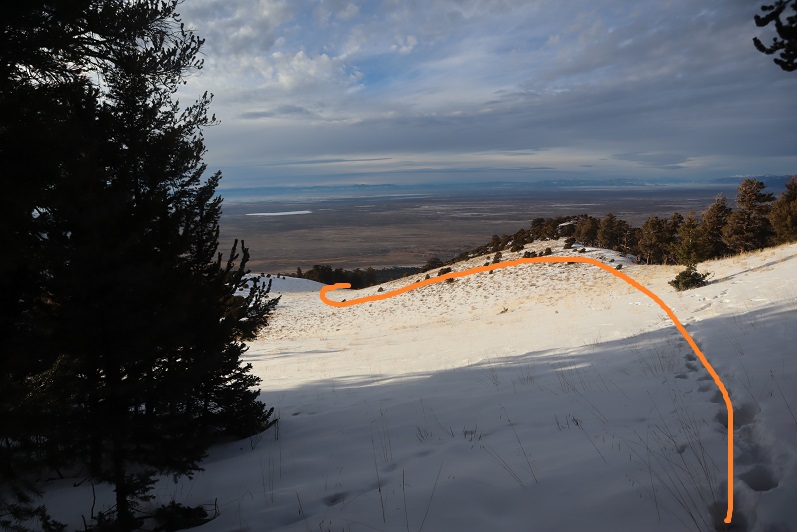
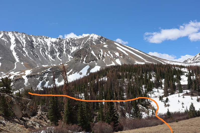
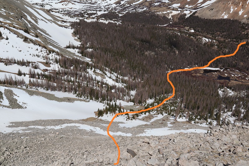
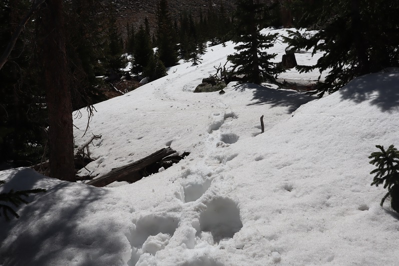
After avoiding the rocks you want to make your way down to the willows, skirt the willows, and re-enter the trees, making your way towards the gully. Here’s an overview of the entire route
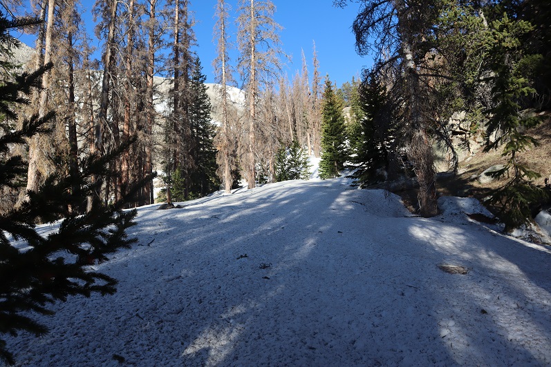
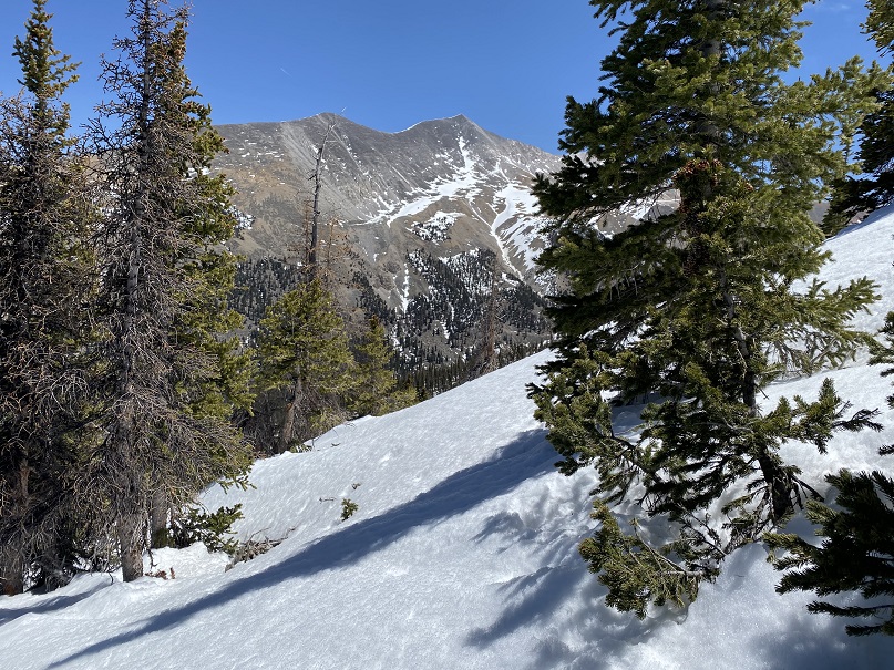
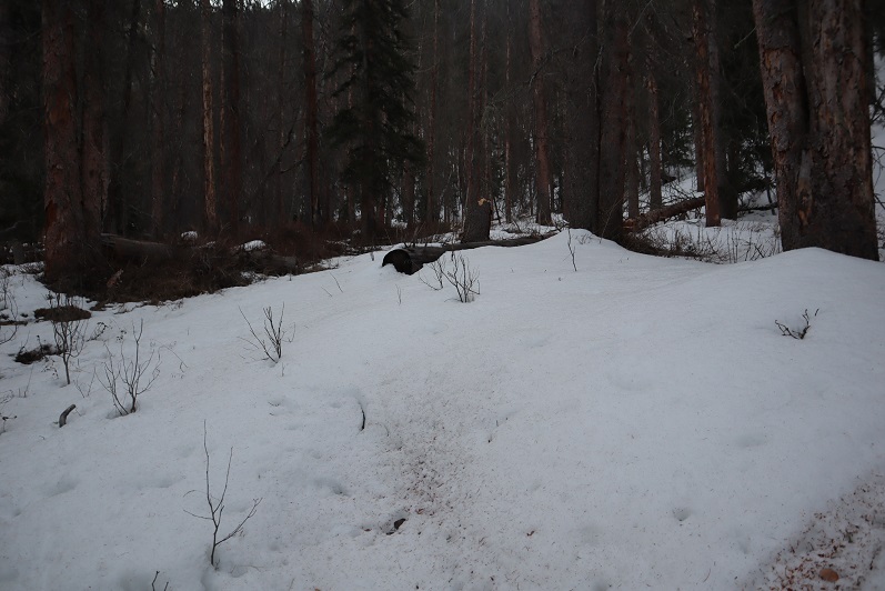
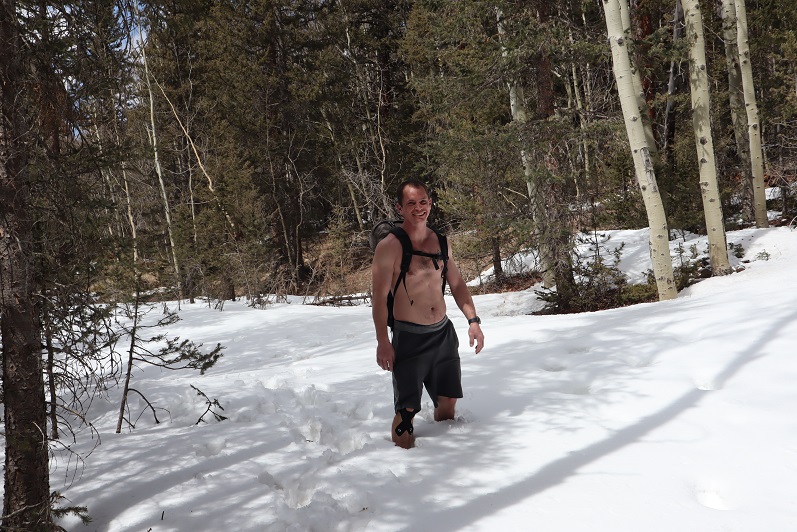
This was harder than it looked, as the marsh was more like a bog, the willows were dense, and once back in the trees the snow and downed trees were cumbersome to say the least. I was very grateful I’d lugged my snowshoes this far. They were only needed for this one mile section, but I wouldn’t have been able to summit without them.

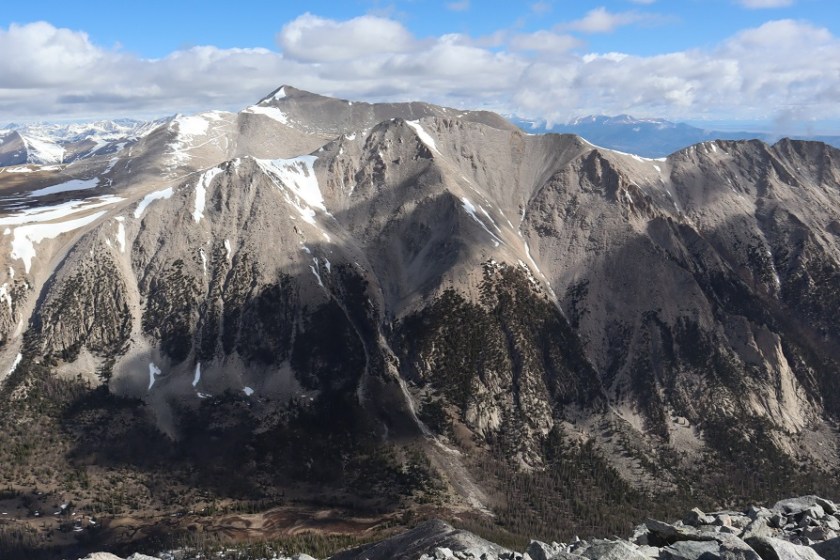
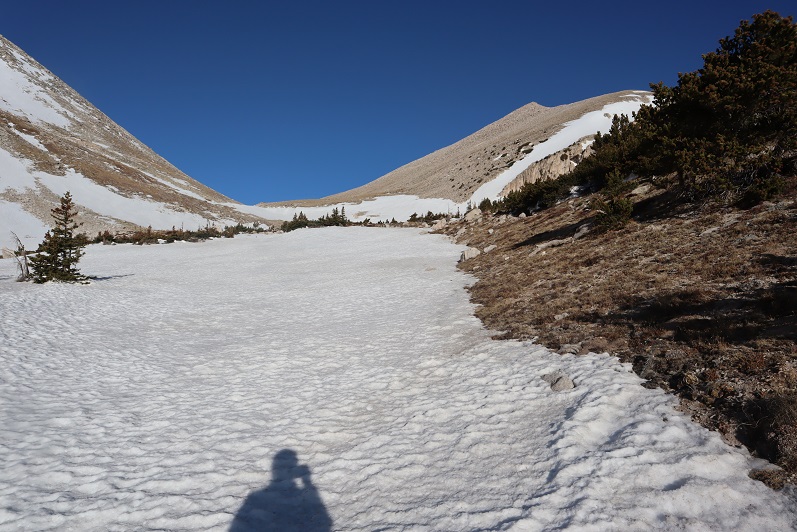
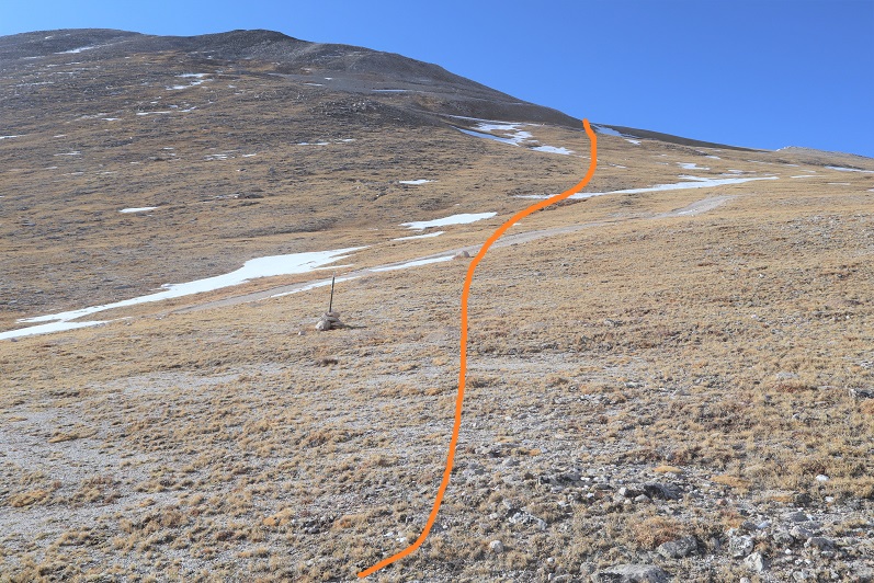
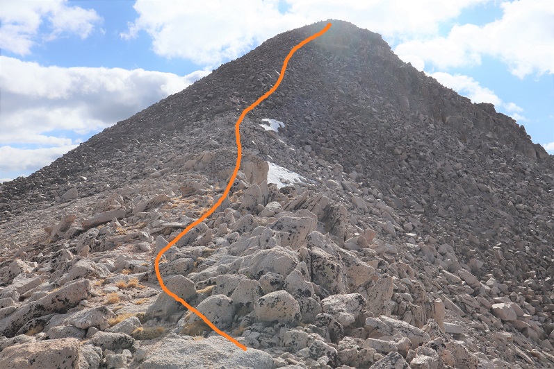
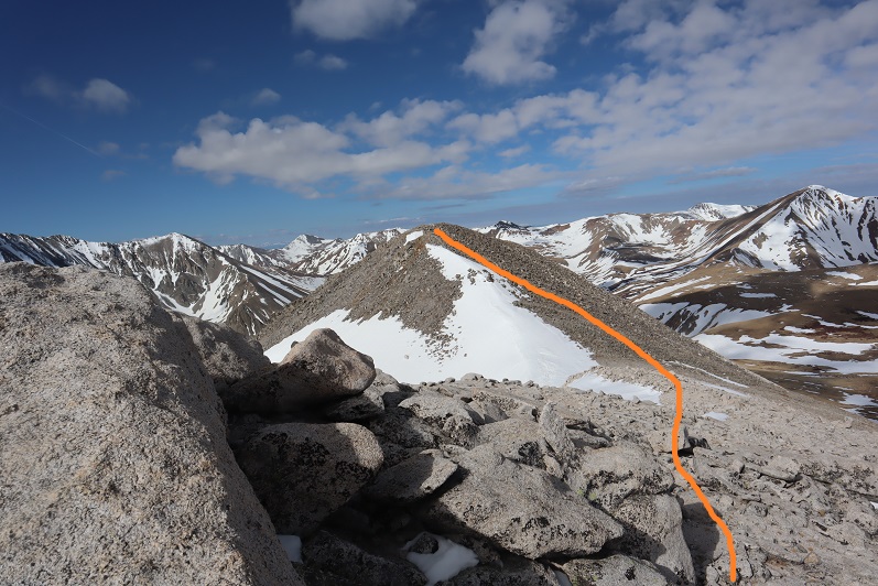
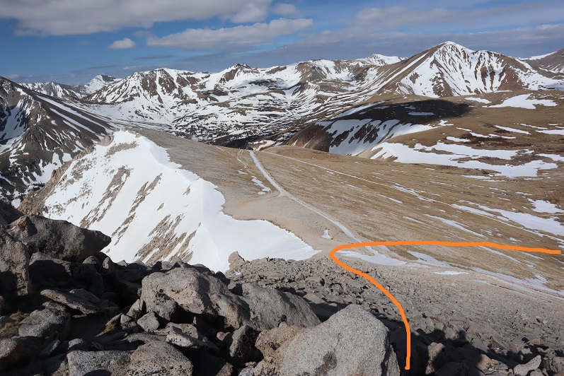
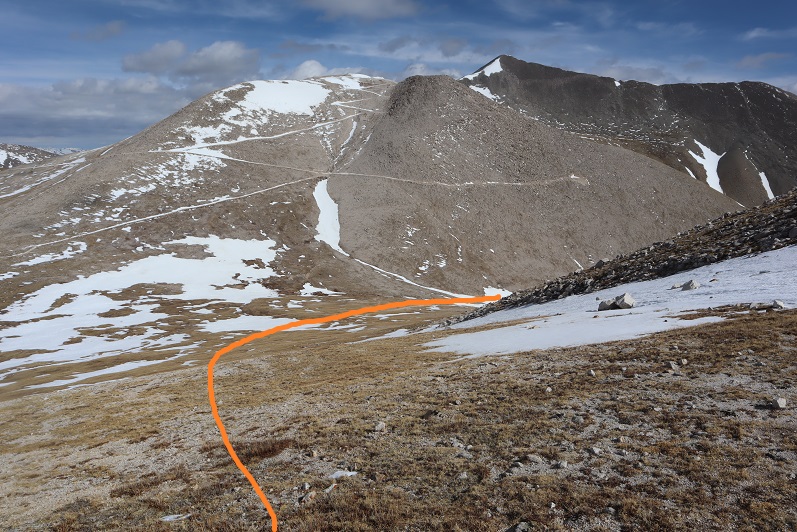
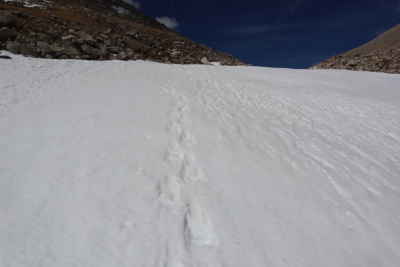
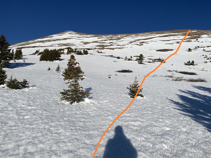
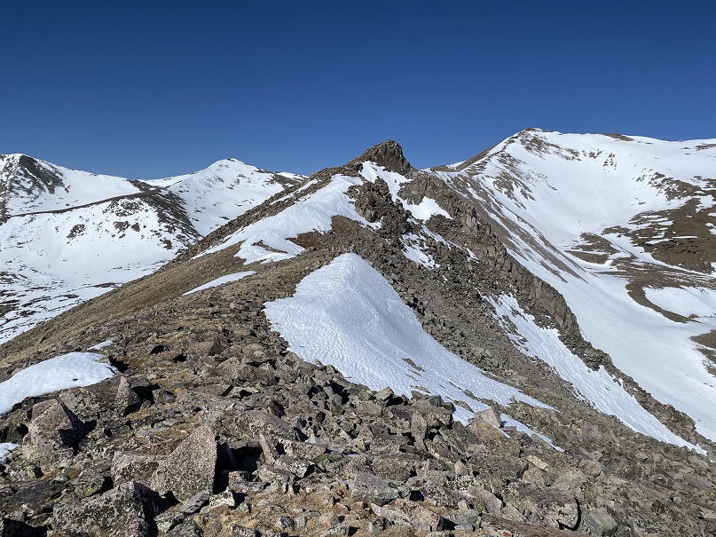
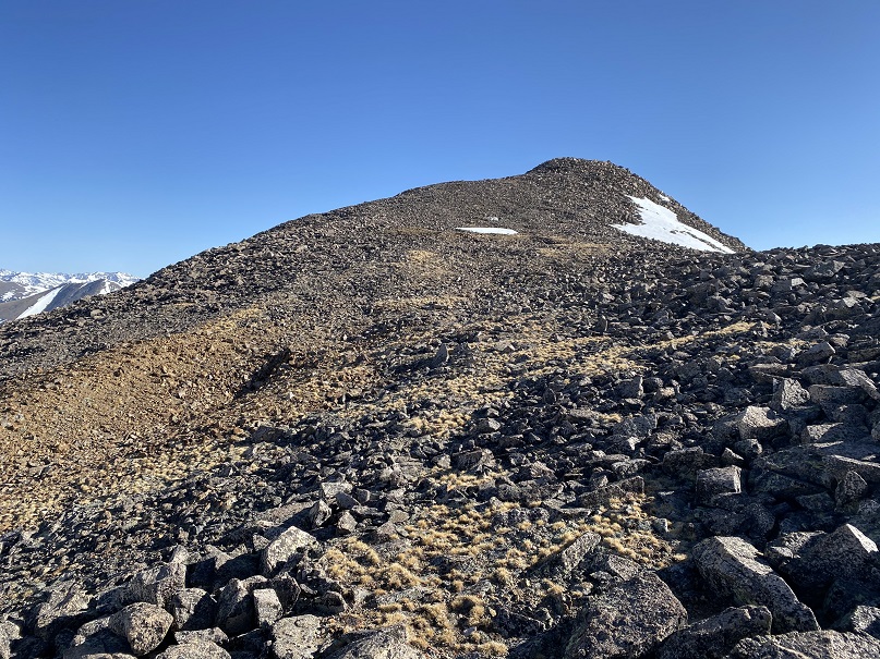
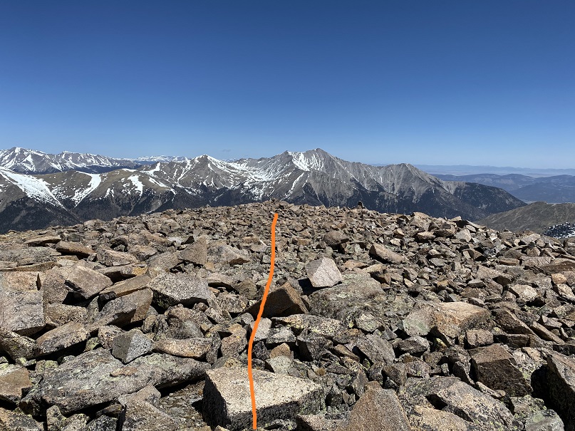
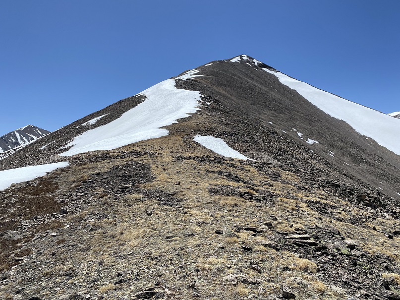
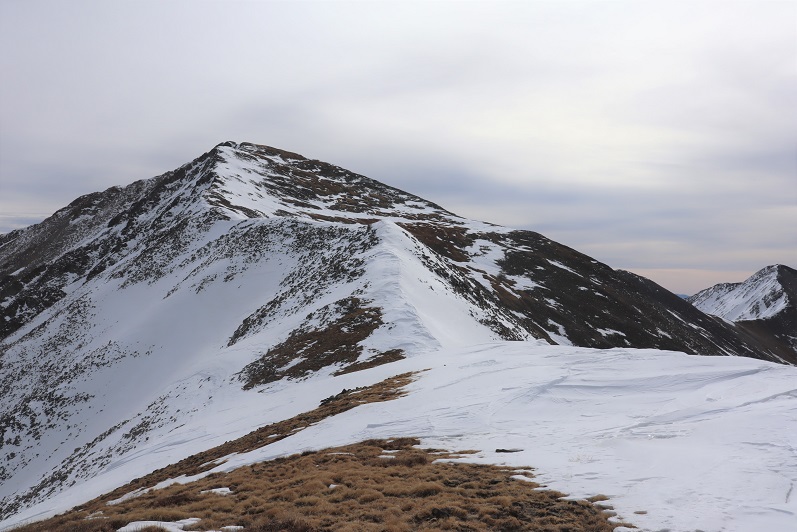
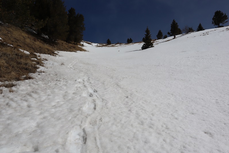
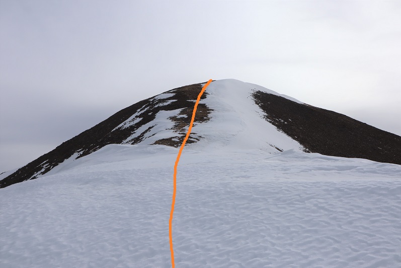
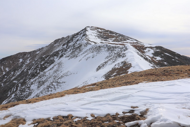
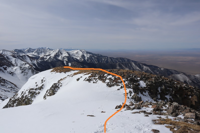
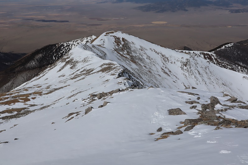
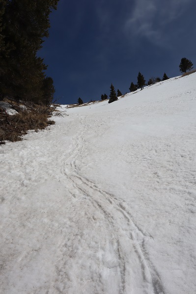
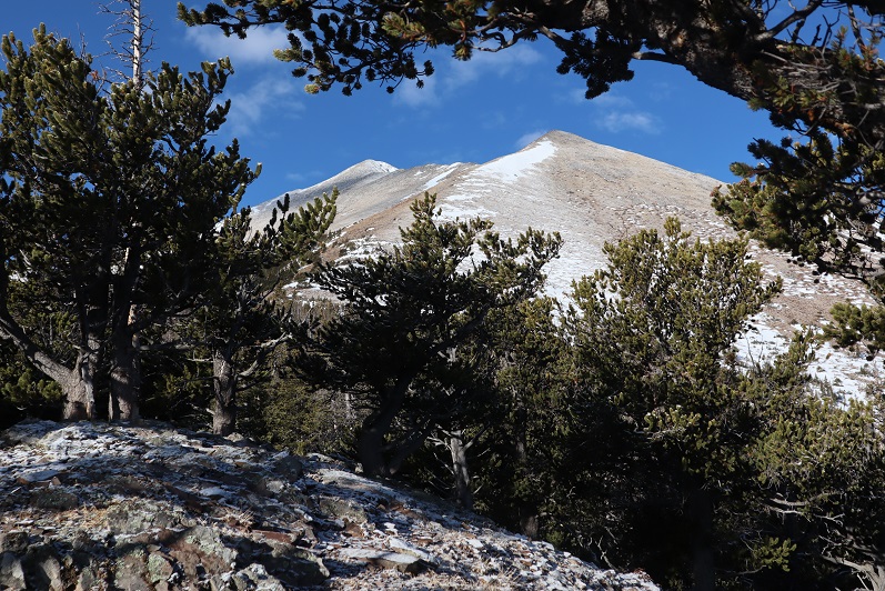
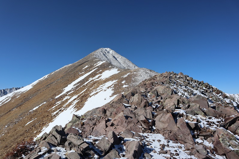
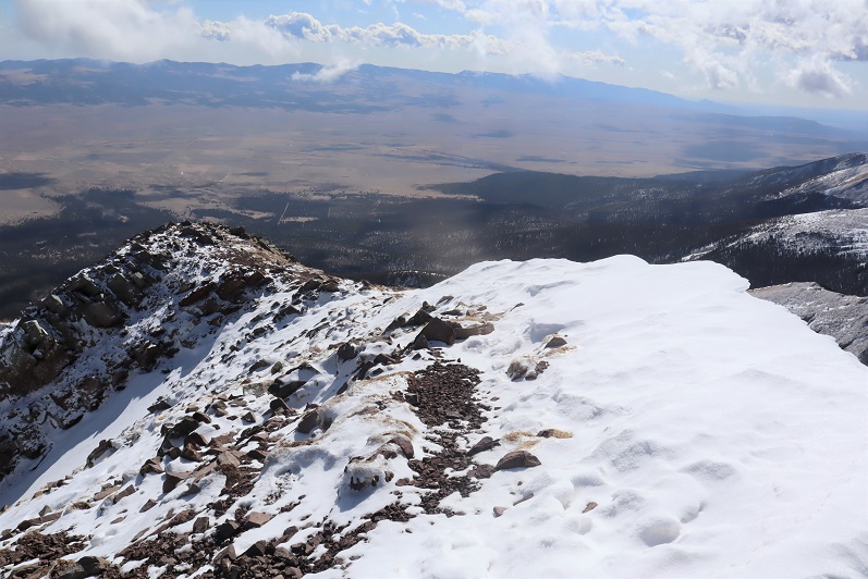
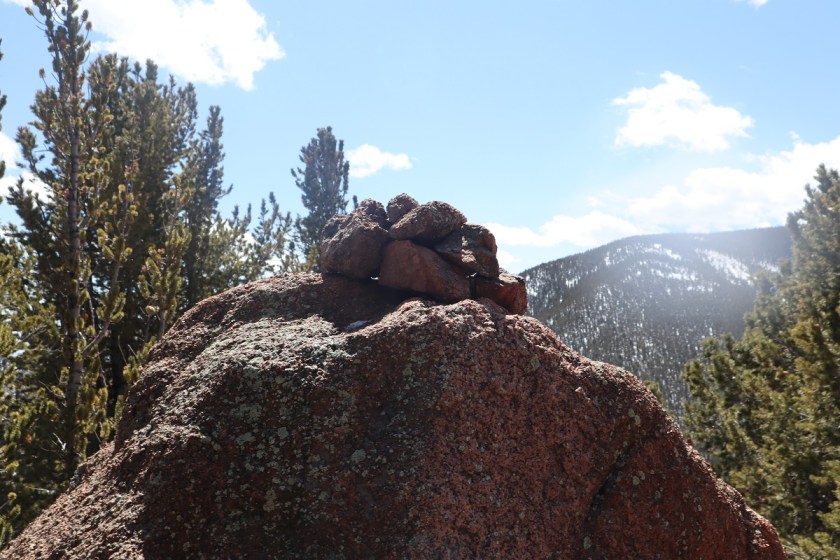
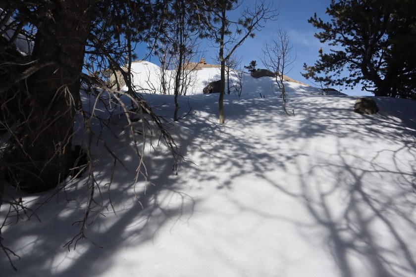
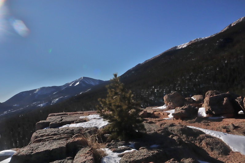
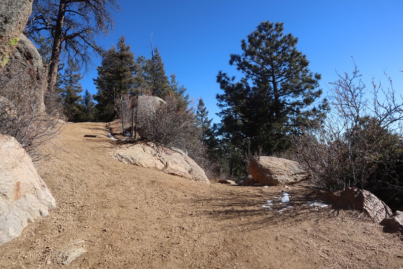
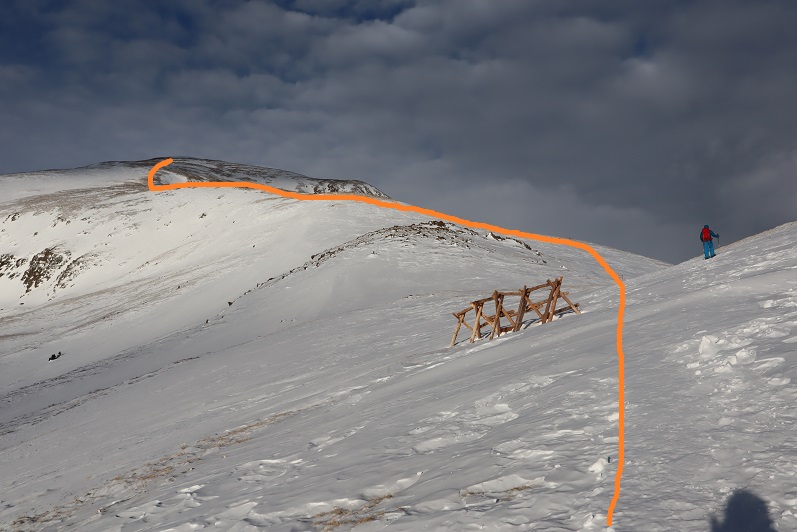
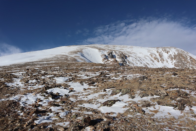
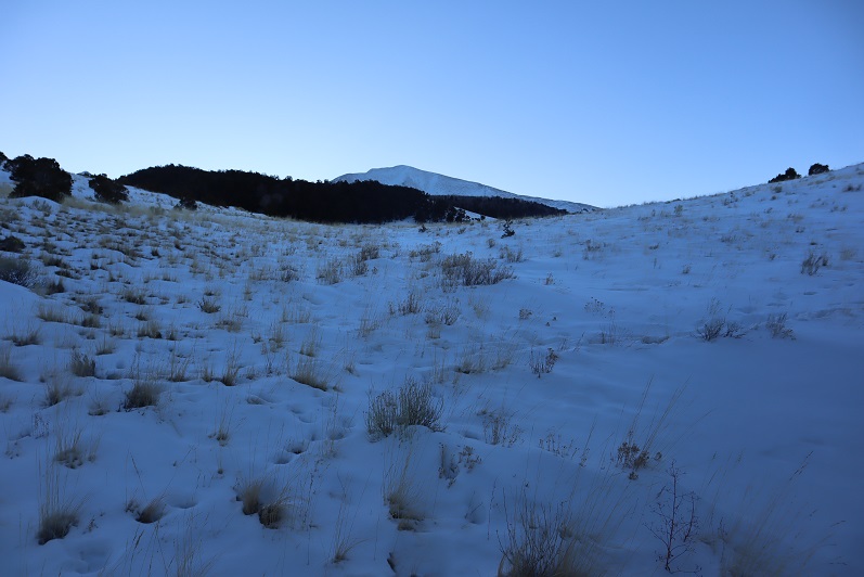
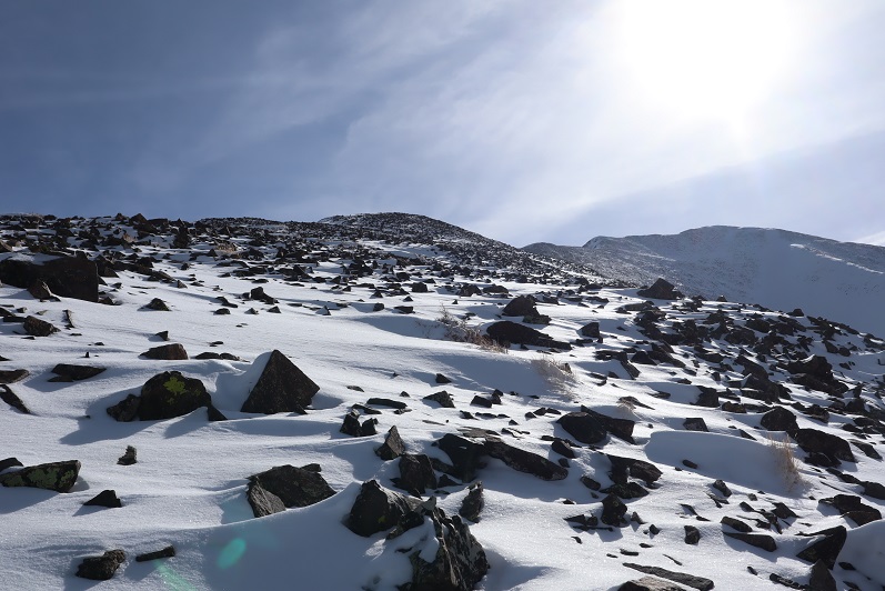
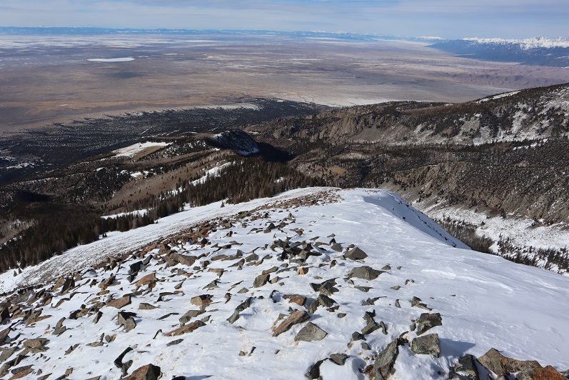
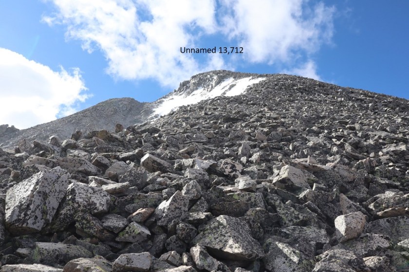
Once above treeline the route was much more obvious. I crossed a small runout/gully and began ascending the loose, rocky, scree filled slope. There are a few cairns here, none of them seem to follow the same path and all seemed arbitrary. Just head up. It looks like the rocks shift often, so pick your line carefully. Microspikes are helpful on the scree.
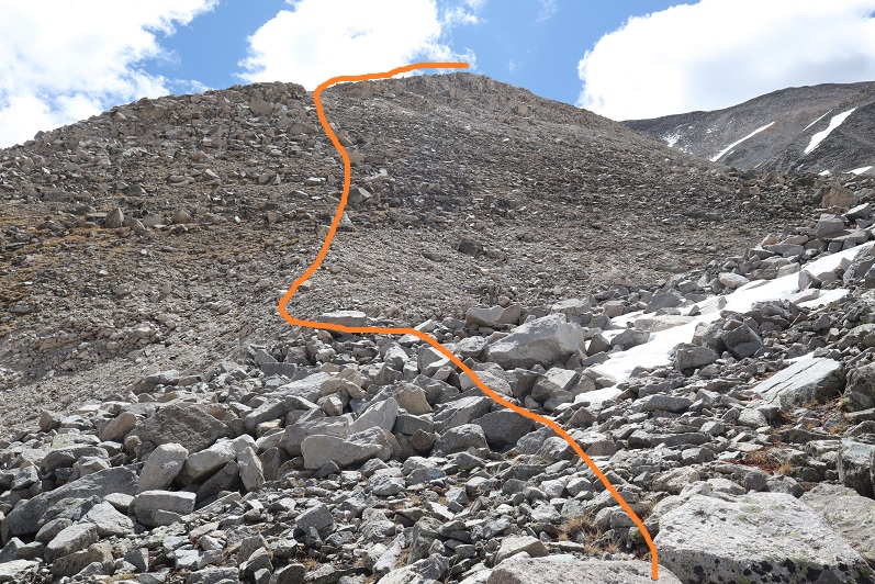
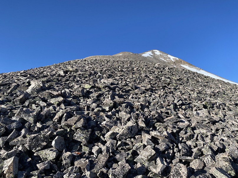
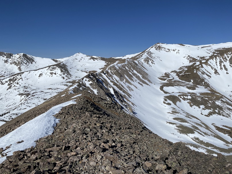
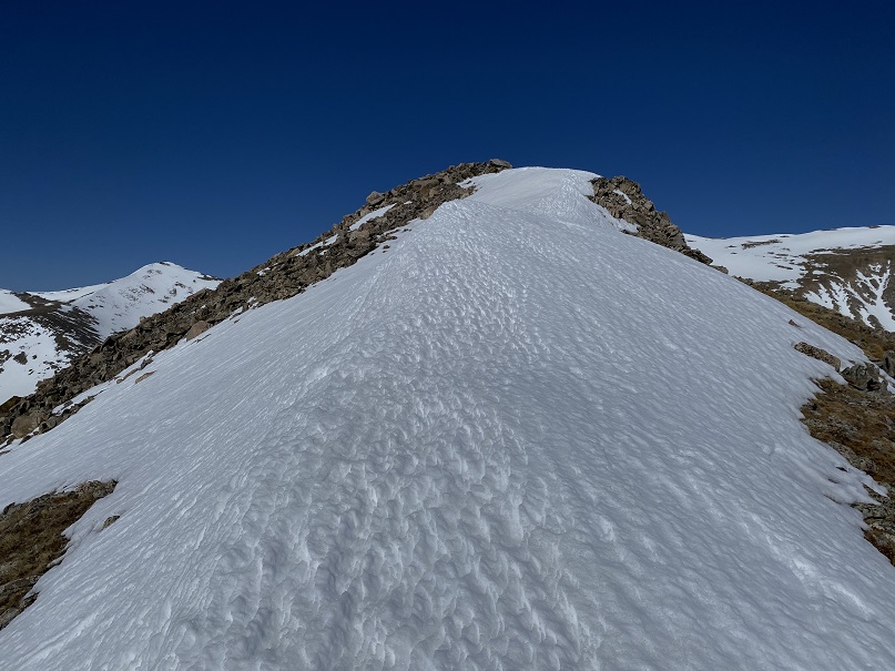
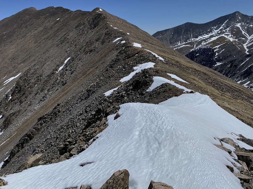
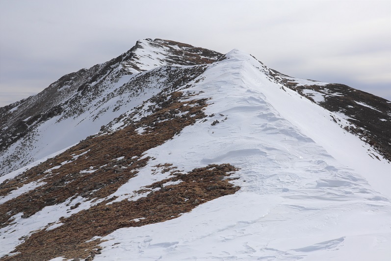
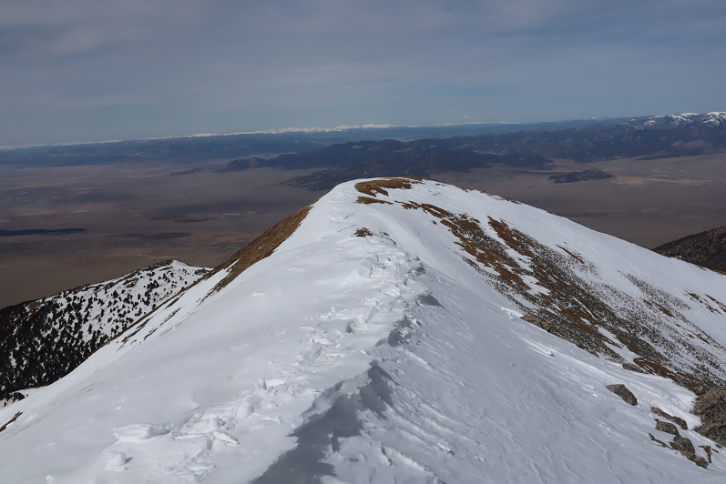
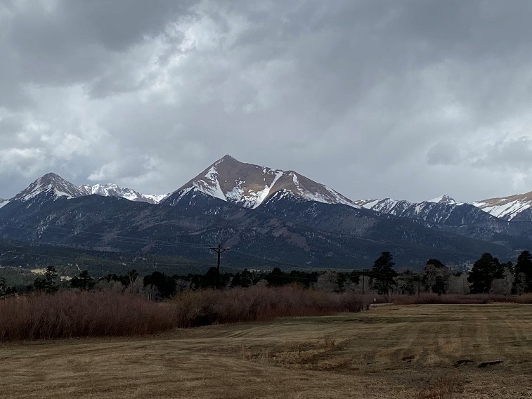
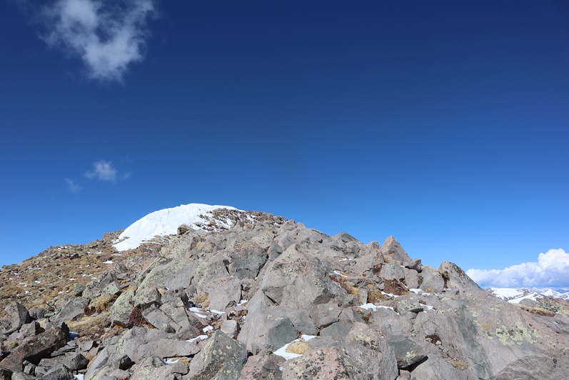
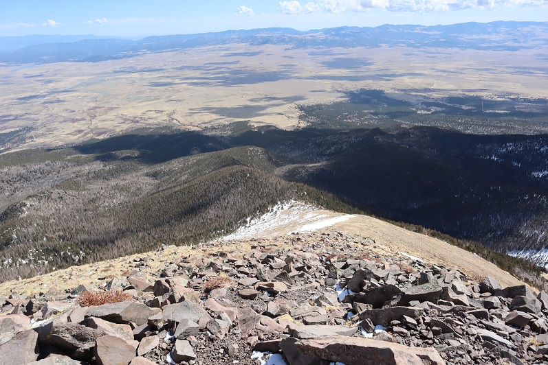
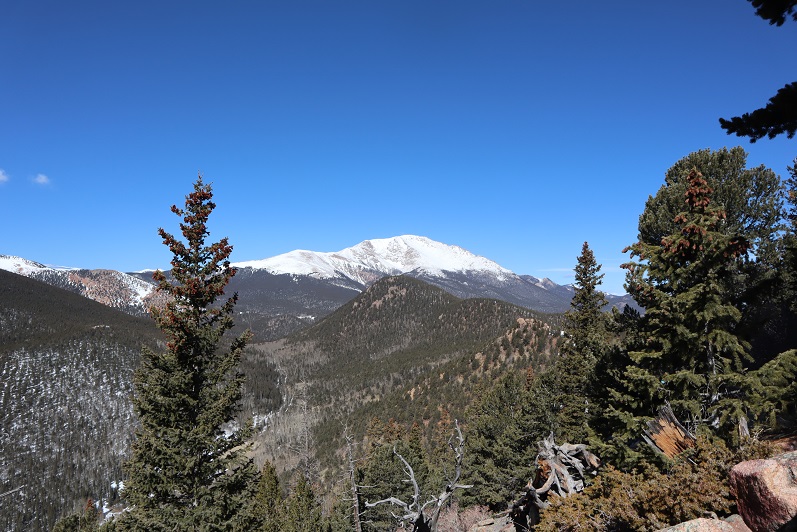
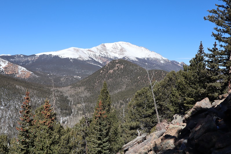
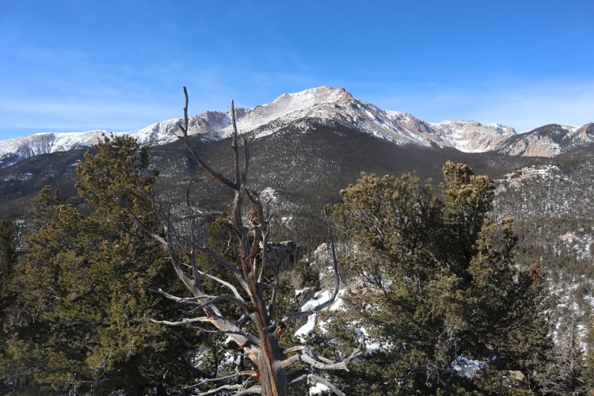
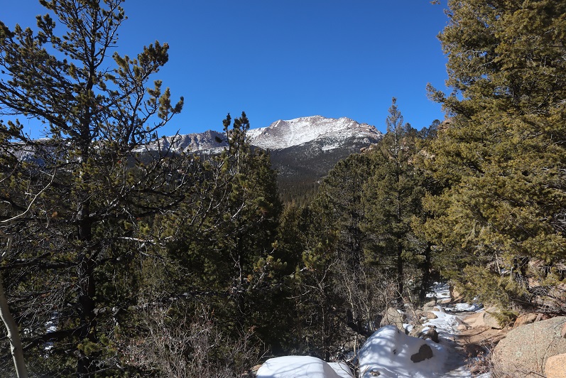
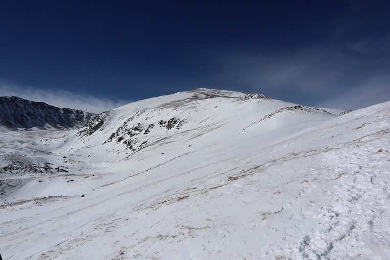
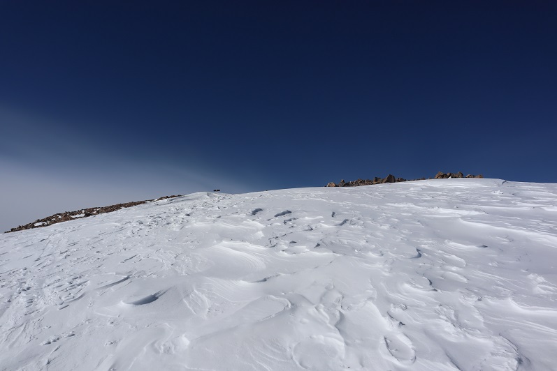
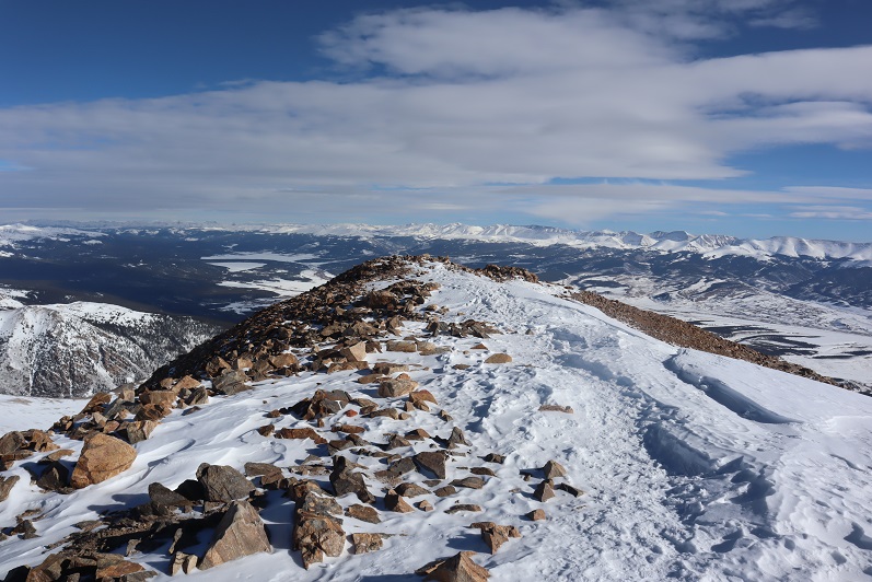
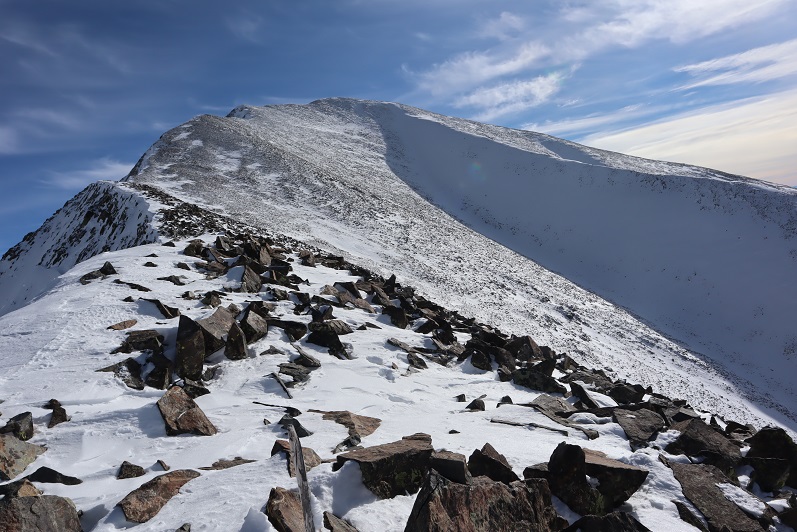
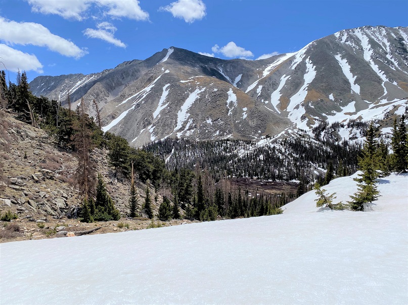
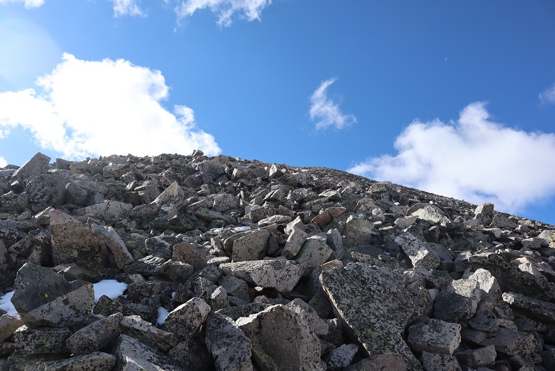
The scree eventually gave way to some tundra (I was aiming for the ridge: yes, that summit is 13,712, so no false summits today!!!)

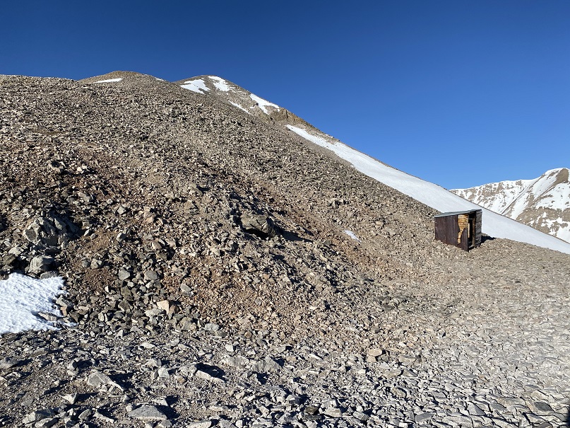
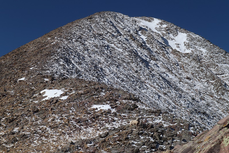
And then more loose rocks (bowling ball and microwave size, none of which were stable)
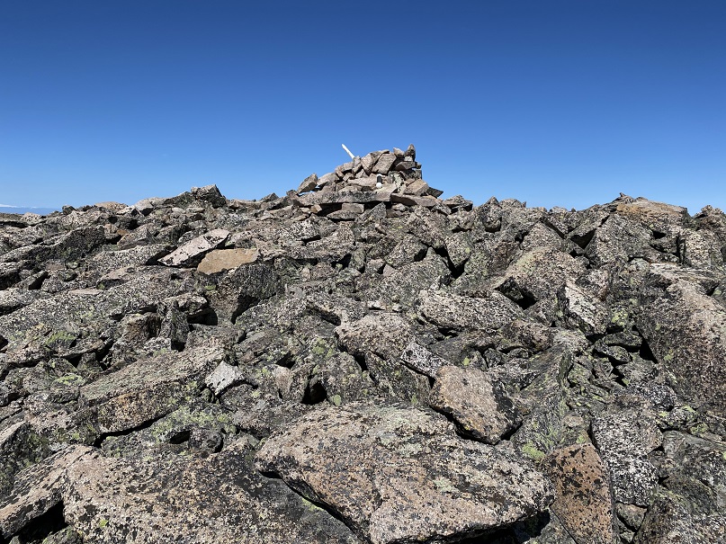
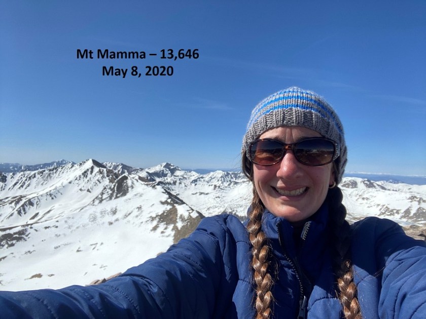
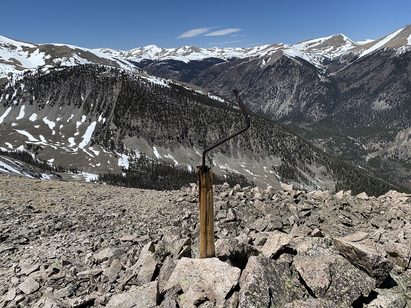
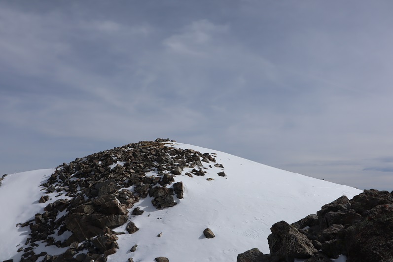
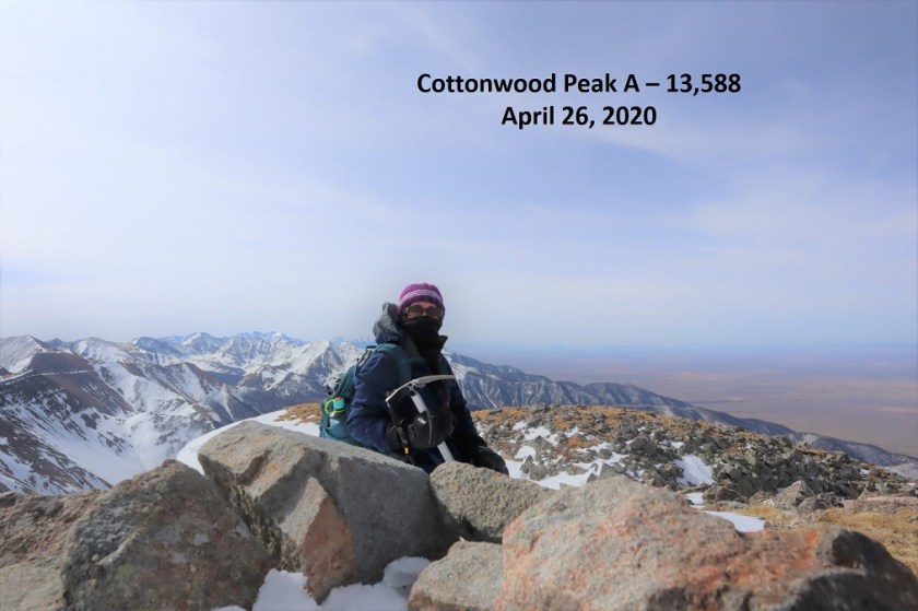
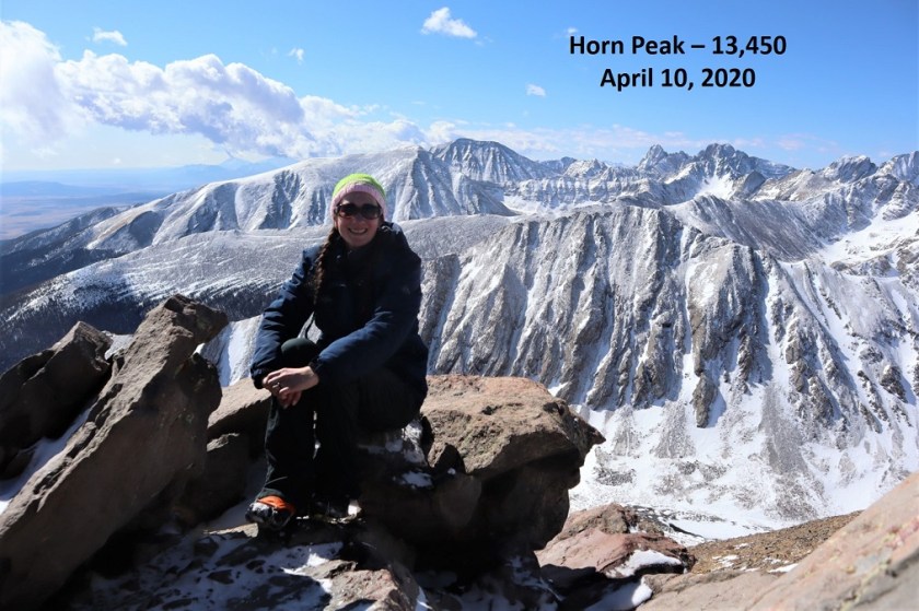
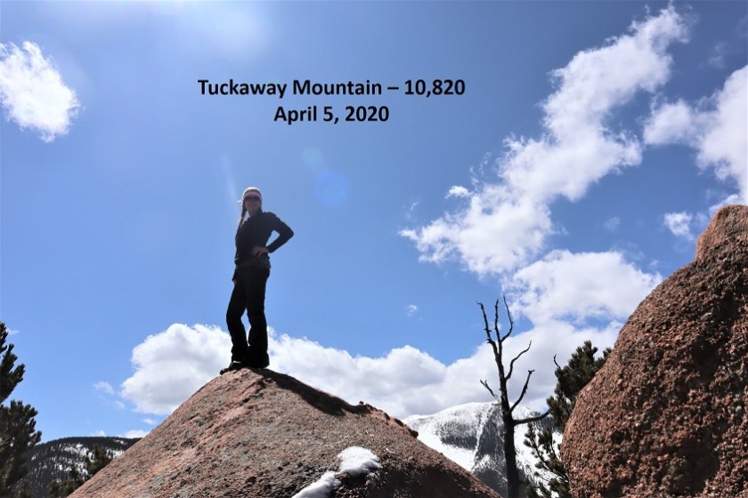
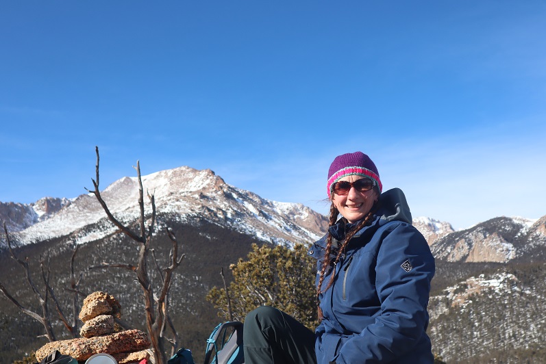
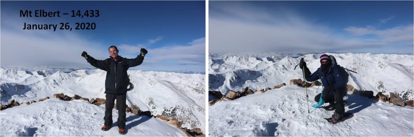
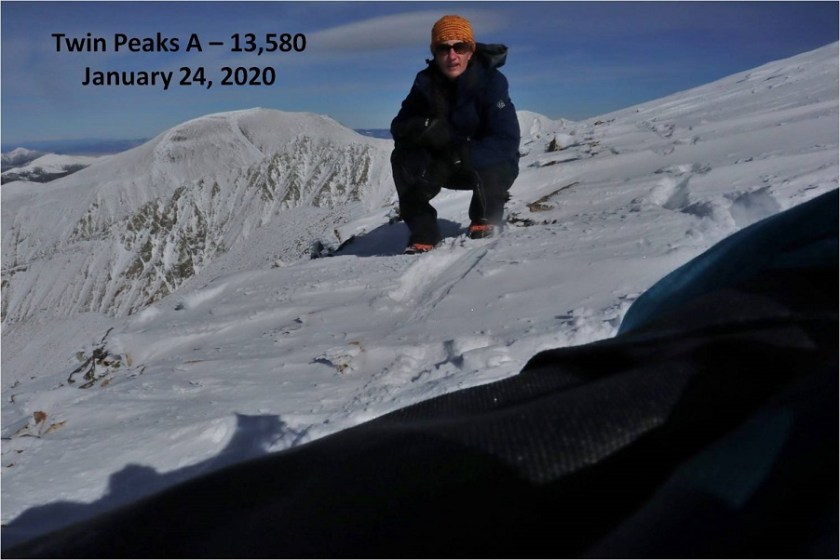
I summited at 9:10am. I’m not fond of this picture, but it’s what I’ve got
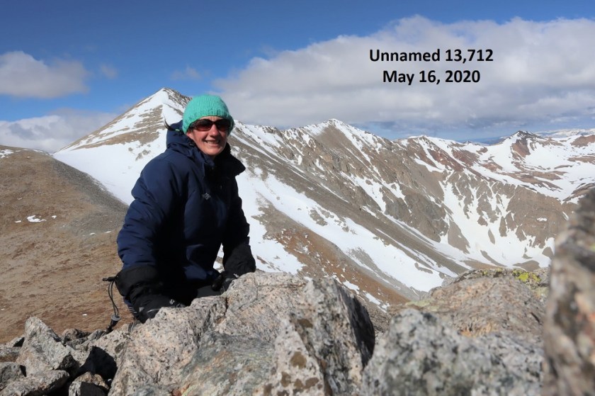
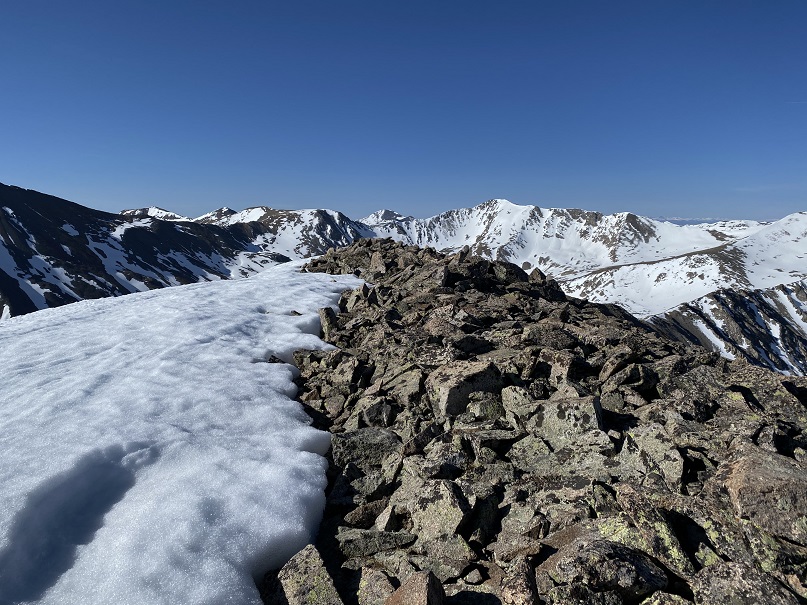
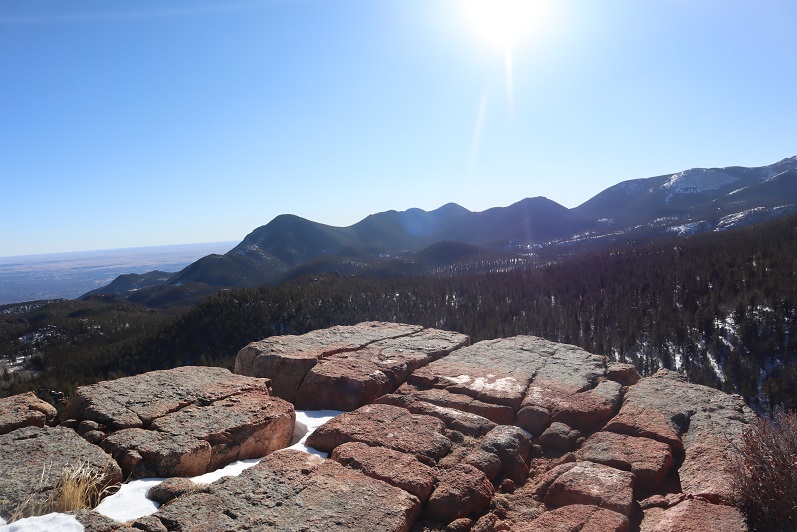
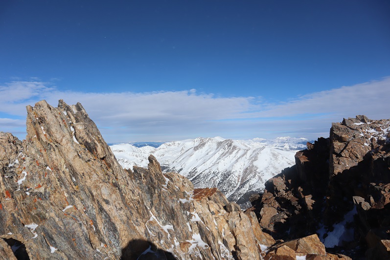
13712 Summit:
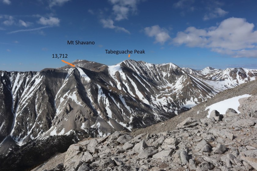
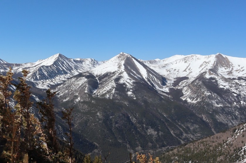
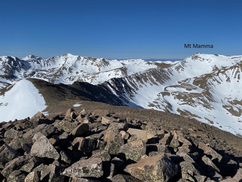
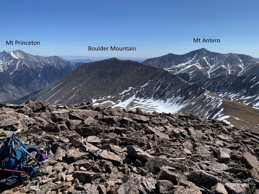
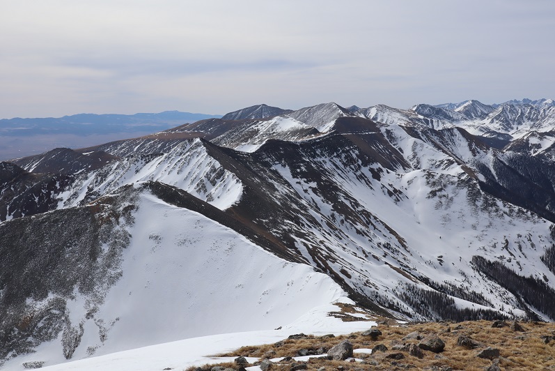
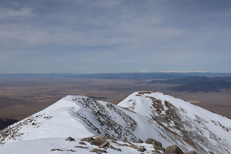
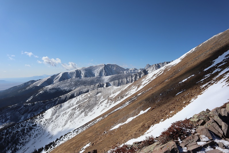
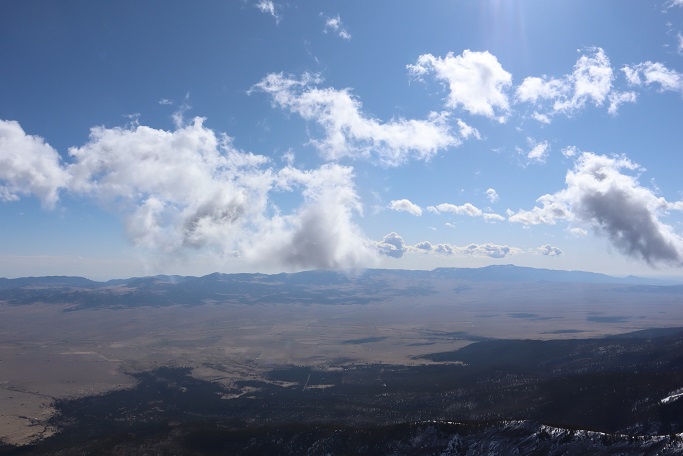
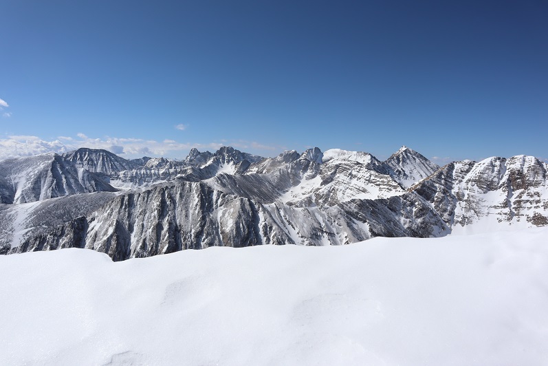
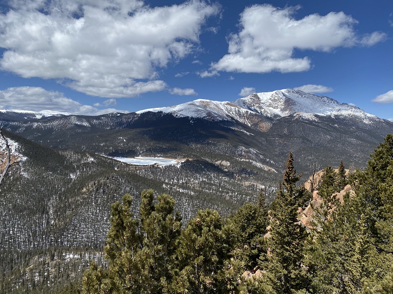
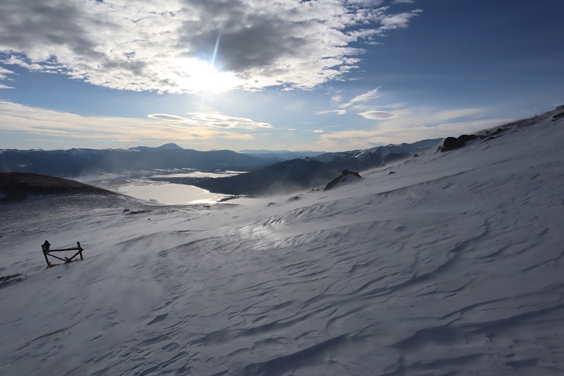
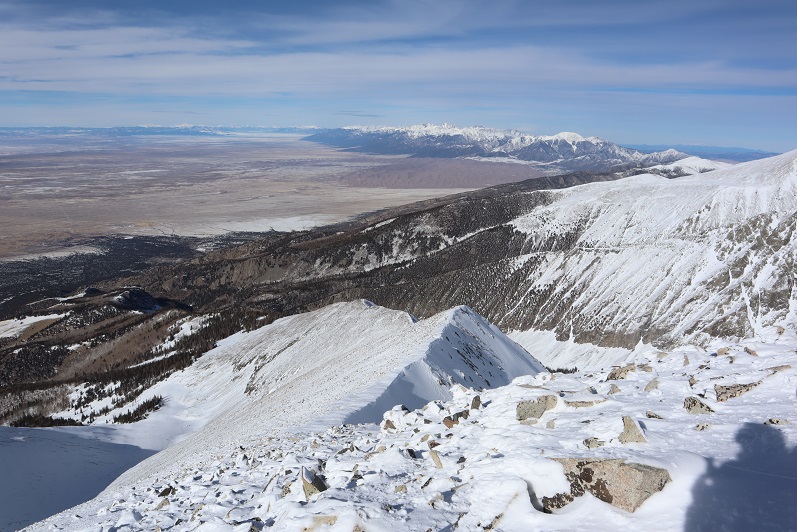
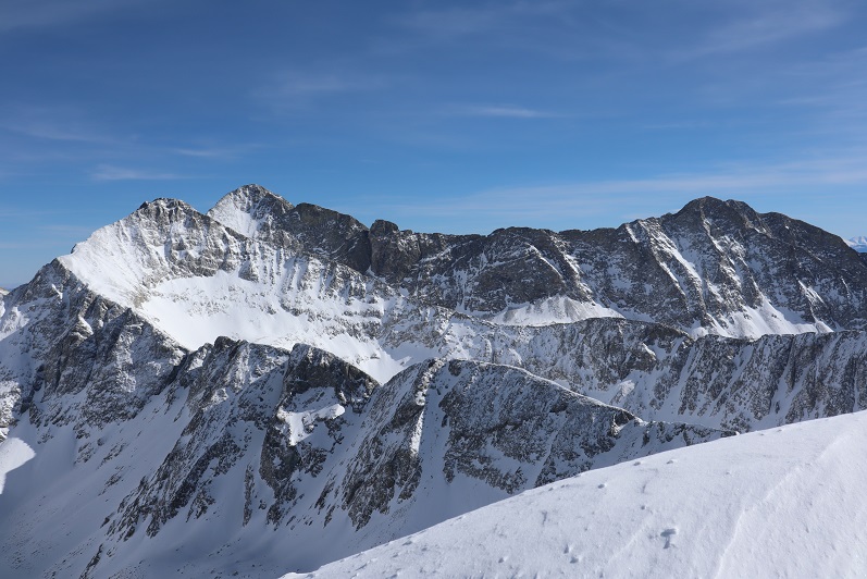
It was very, very windy on the summit. I was surprised to see just how close I was to Shavano and Tabeguache and noticed two climbers making their final ascent up the snow on Tabeguache.
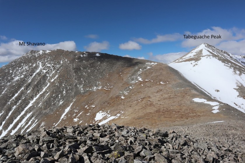
I didn’t plan on summiting either of those peaks today however: The snow had been soft enough on my way in, and I needed to make it back down before it became any softer.

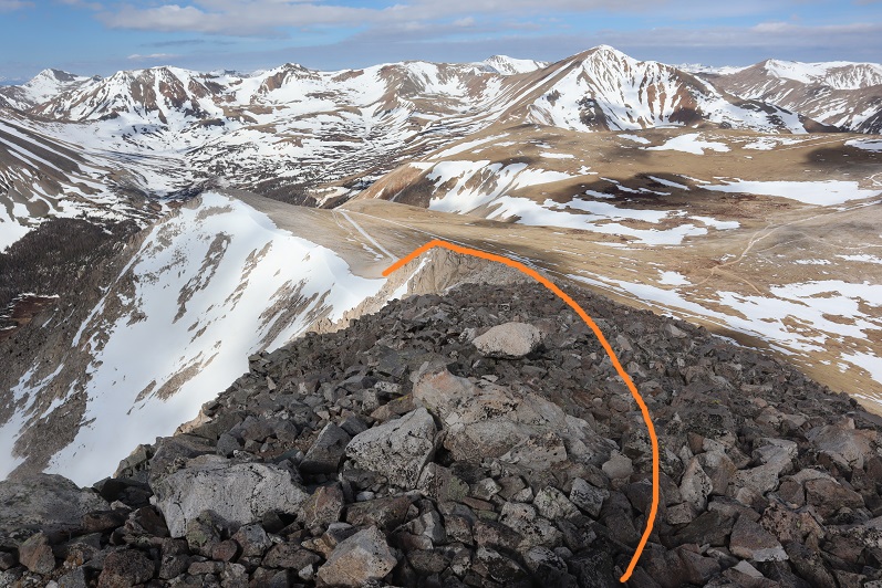
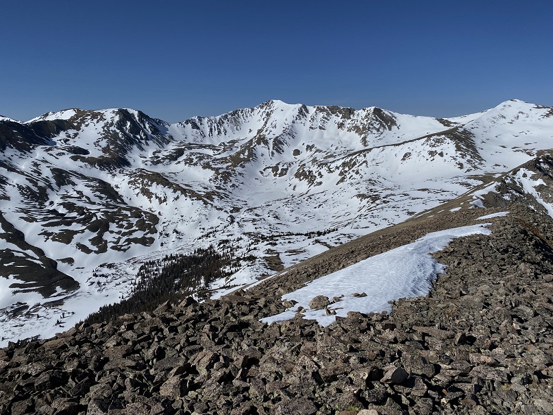
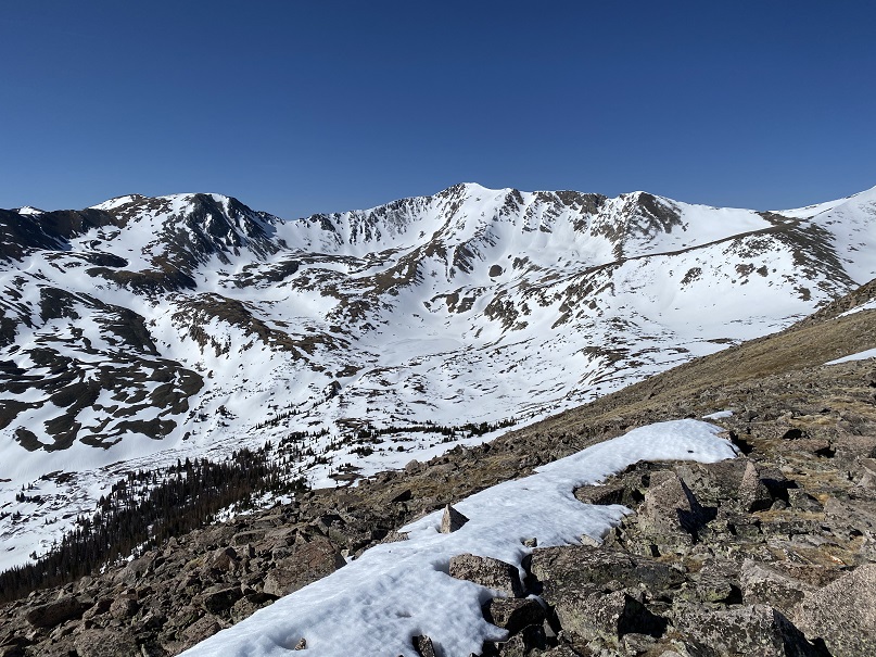
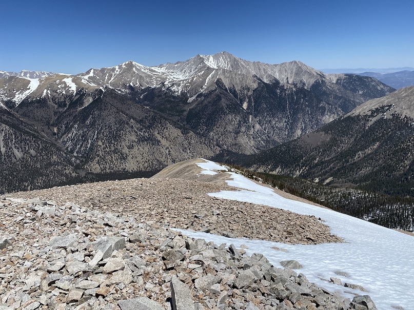
All along the ridge I looked for a safer way back down than the way I’d come up, but couldn’t seem to figure a better way: the marshy area was full of either snow, ice, or deep water I didn’t want to cross, so I did my best to retrace my steps back down. The snow made the mile a slog.

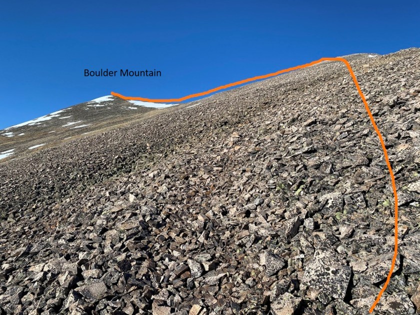
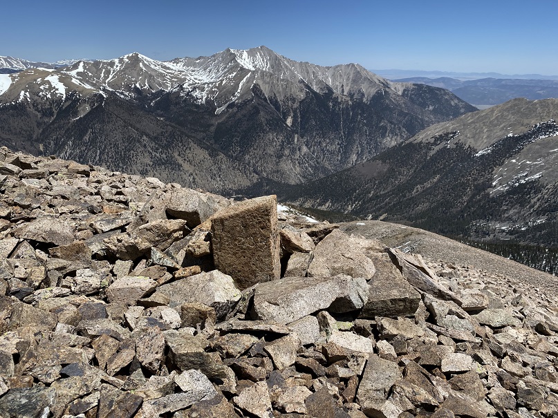
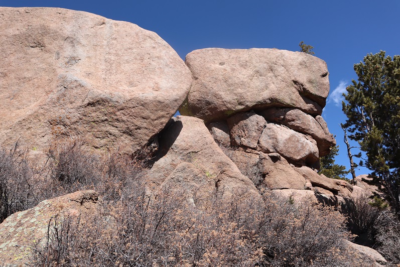
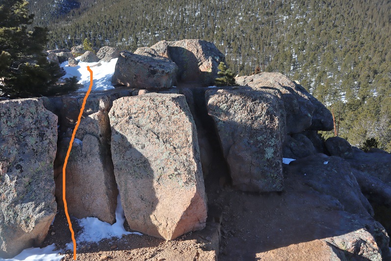
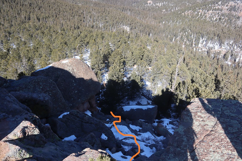
Here’s that boulder you’re trying to avoid on your way back
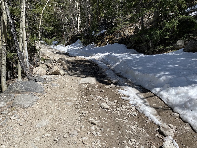
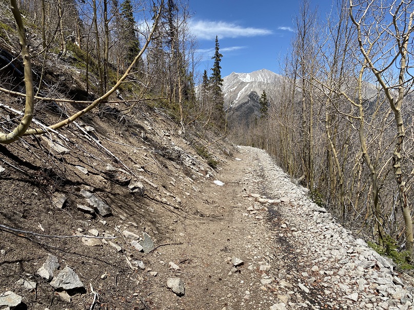
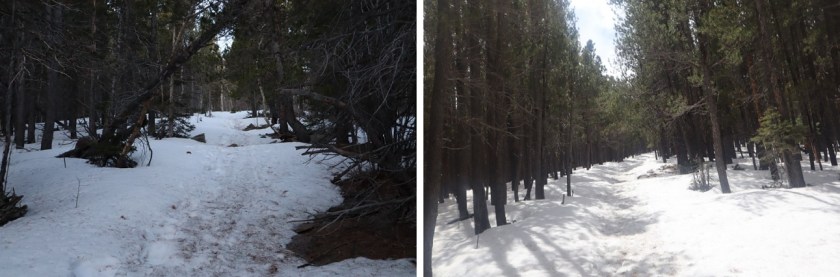
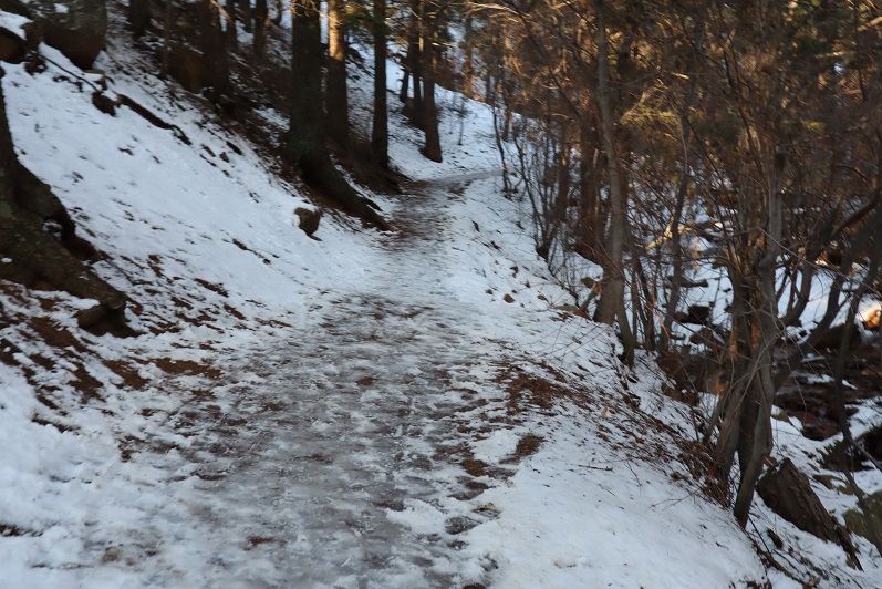
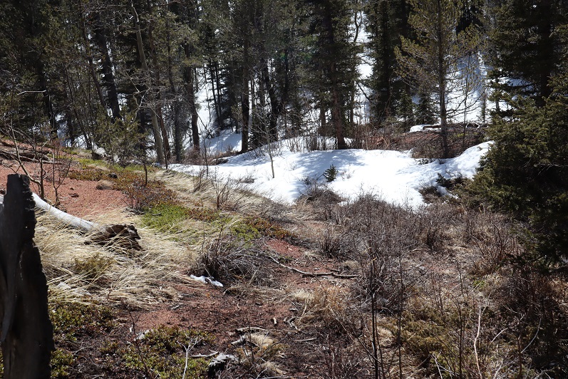
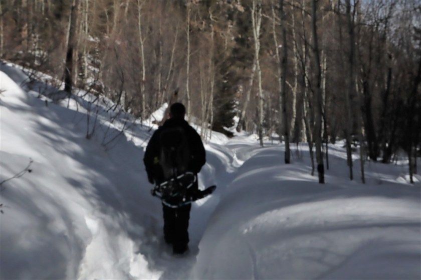
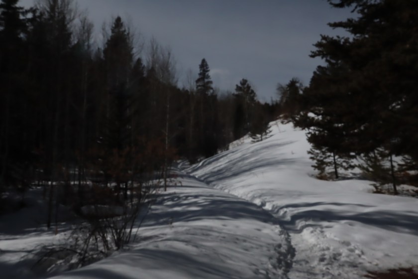
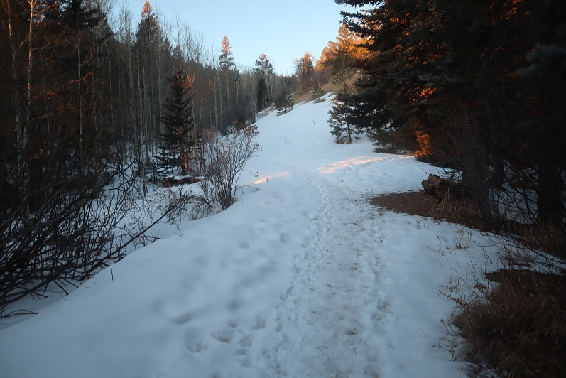
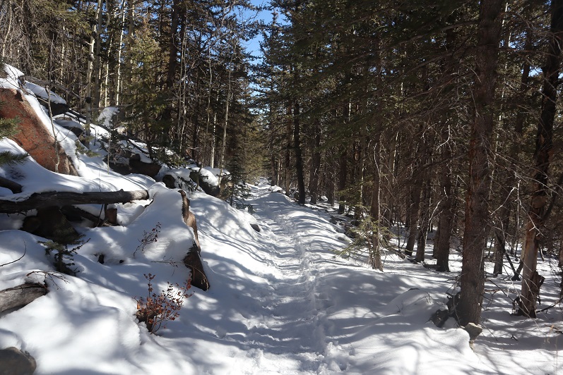
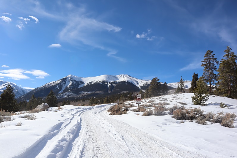
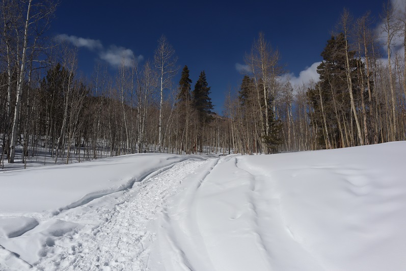
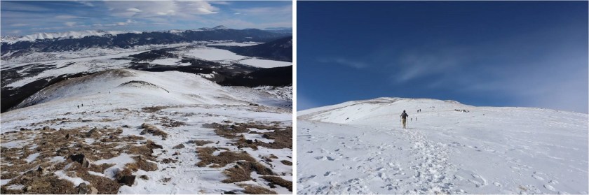
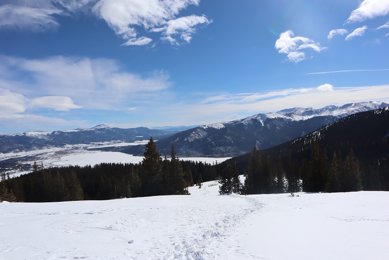
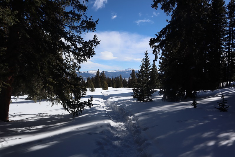
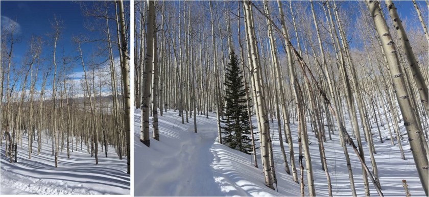
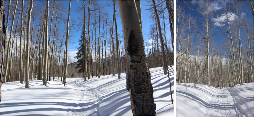
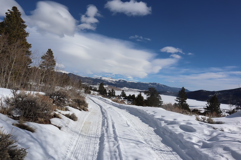
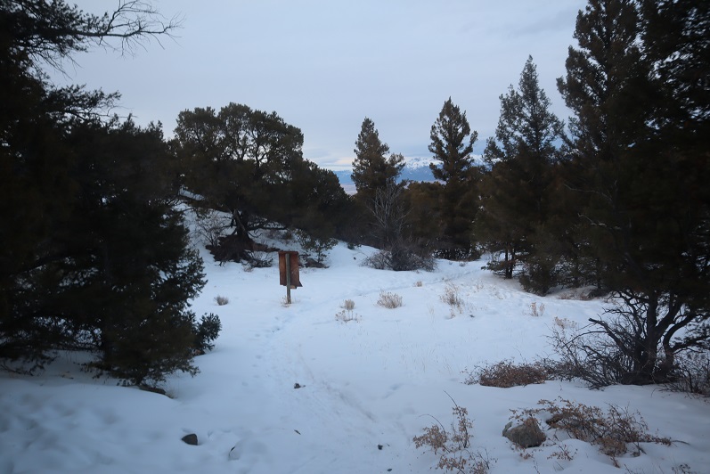
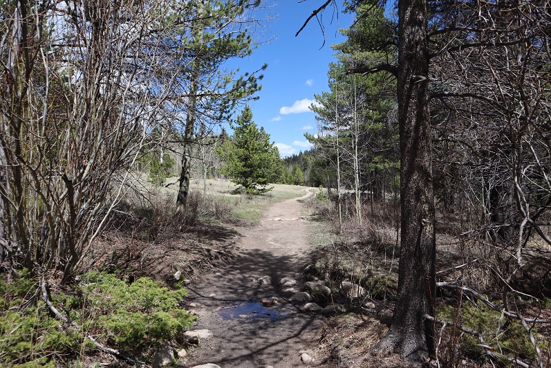
I made my way back to the creek, crossed it and headed back to the 4WD road, happy to be done with snowshoes for the day. While crossing the creek I’d accidentally stepped in it (both feet ended up getting wet when I lost balance because I was too hard-headed to take off my snowshoes first) and now my hiking shoes were soaking wet. Should be a fun 7.5 mile hike back to the trailhead! Here are some photos of the way back:
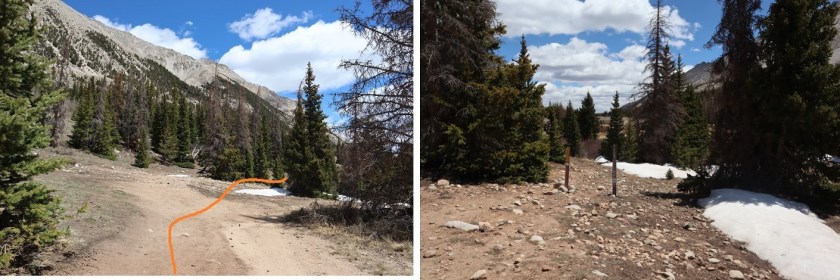
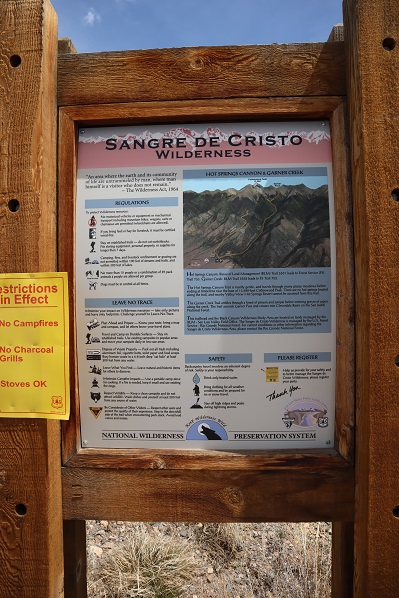
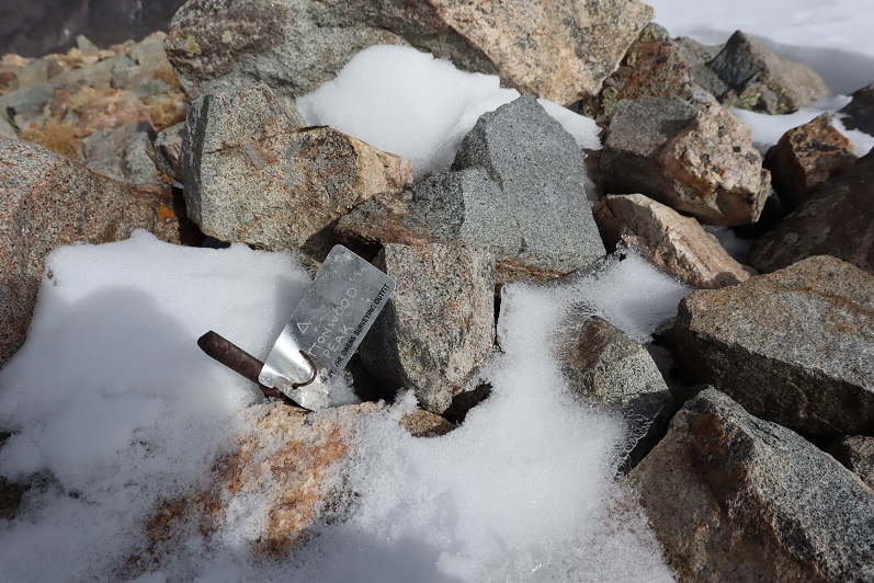
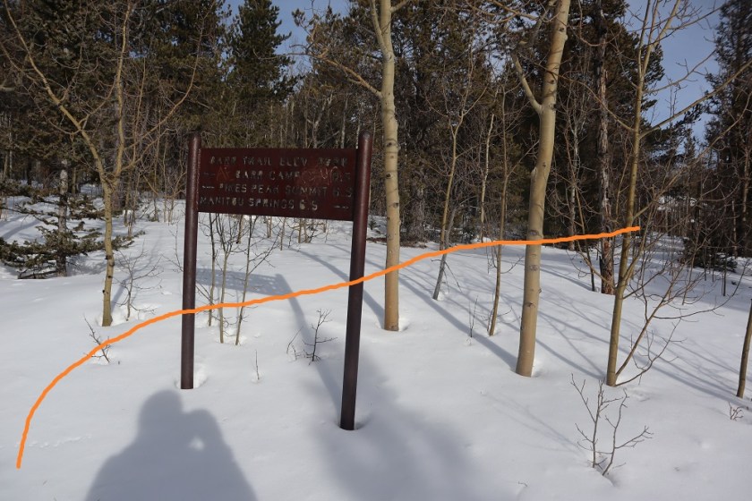
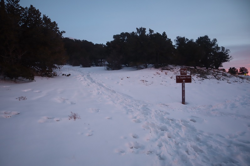
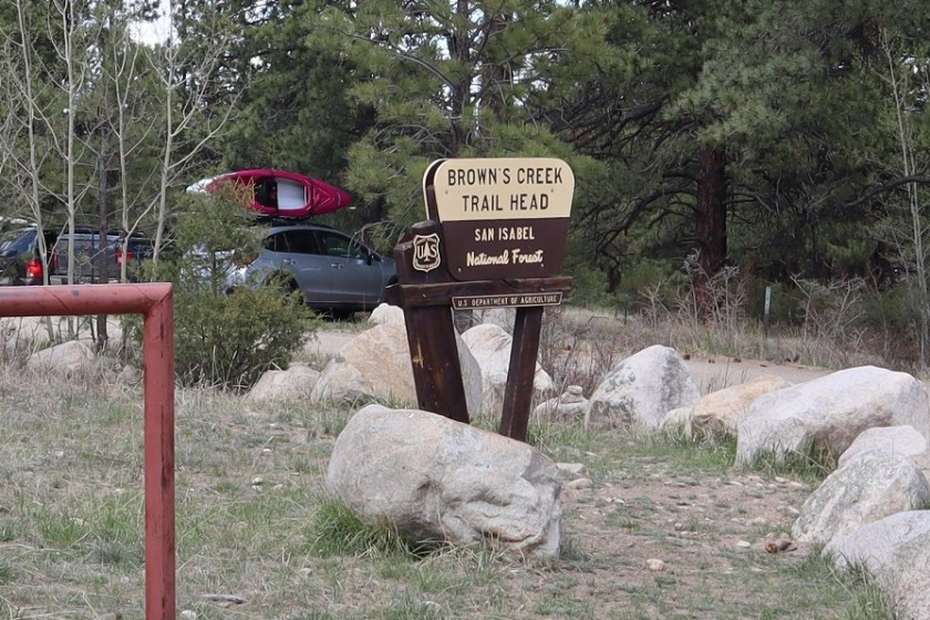
(also, whoever made this sign forgot the letter ‘d’: there’s obviously space for it, and upon closer inspection there was never a letter there to begin with)

As I passed Browns Lake and made my way closer and closer to the trailhead there were more and more people on the trail, and everyone seemed to have a dog (or two or three) and I even saw people riding horses. Indeed, this is a popular trail. On a positive note, I didn’t see dog-waste bags lining the trail. I did see someone fishing in the creek in an area made for horse crossing.
I made it back to my truck at 2:45pm, making this an 18.69 mile hike with 5360’ of elevation gain in 12 hours, 15 minutes.
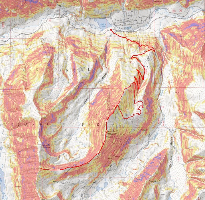
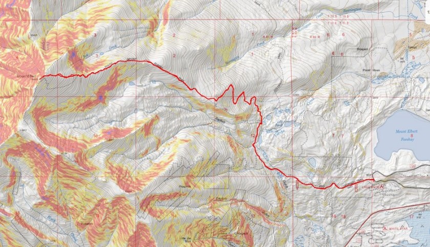
Here’s a topo map of my route