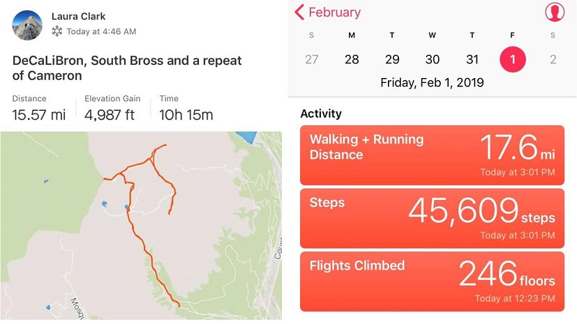
RT Length: 16 miles
Elevation Gain: 4987’
OK, I know this looks like an excuse to say I’ve hit my goal of summiting 5 winter 14ers for the year by just doing them all at once, but I’m only counting this as 1 winter 14er hike (putting me at 3 for this season… 2 more to go!).
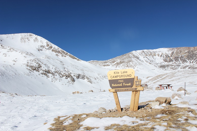
Luckily the Kite Lake Trailhead is only 2 hours from my house so I made it there by 4:30am. Well, almost there. From turning west on Buckskin I was able to drive 2.5 miles on a bare dirt road and got my hopes up I’d be able to drive to the winter closure. No such luck. Almost immediately at 2.5 miles I ran into snow and stopped. Quite suddenly in fact.
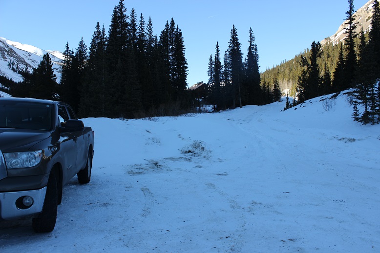
It looked like someone had attempted to drive further and decided to back up, so I parked my truck and took a look. I was fairly certain I’d be able to drive my truck through what I could immediately see, but I wasn’t sure I’d be able to drive back out after the sun warmed up the snow later in the day. I decided to play it safe and stay parked near the Paris Mill site. This ended up being a fantastic idea.
I put on my snowshoes and other gear and was on the trail by 4:45am. The dirt road in ranged from bare dirt to covered in 3-4 feet of snow. Yes, tt had been a good idea to park where I had. The jury was still out on whether or not wearing my snowshoes had been a good idea (necessary in some places, and not in a lot). I could tell no one had been on this particular trail for a few days (probably since the weekend).

The first mile and a half to the gate went by quickly
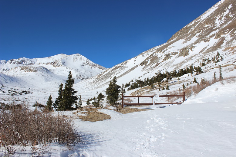
It was still dark, and here the wind picked up. It felt like I was in a wind tunnel, and the drifts on the road got deeper. I wasn’t able to see the road most of the way but I knew where Kite Lake was so I just headed in that general direction. It was still dark when I made it to Kite Lake.
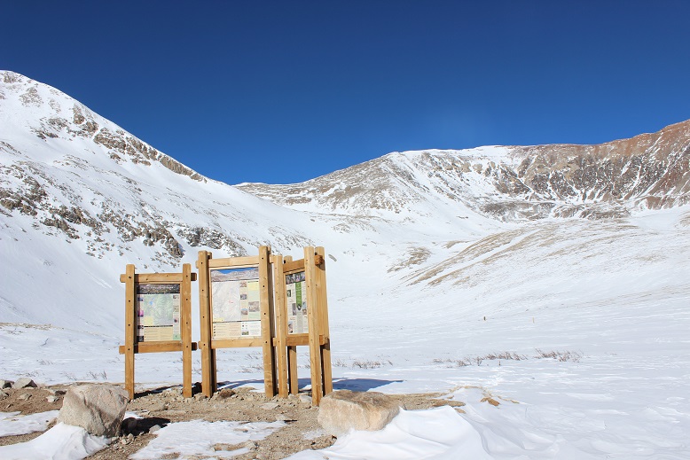
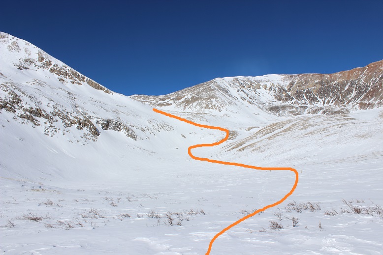
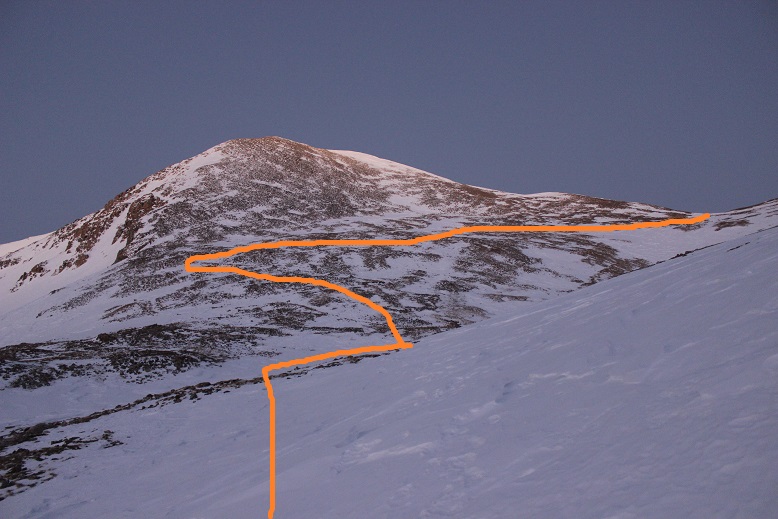
From here there was no visible trail: everything was covered in snow and the wind had swept any trace of tracks away long ago. I stayed to the right and came upon a sign. Woot! Last time I was here it was summer, but I remembered there were signs indicating where the trail was. I snowshoed over to the sign hoping to see it read “trail”. Nope, it just said “no camping”. Well, at least this meant I was on some sort of trail and not on the lake. I pointed my flashlight in the general direction I was supposed to go and saw another sign. Maybe this one would say ‘trail’? Nope, ‘no camping’ again. Then I saw another sign (this one ended up saying ‘trail’). You can probably guess what I did from here: I just went from sign to sign until I was out of the basin (by the collapsed mine). Unfortunately most of the signs I encountered said ‘Trail Closed for Restoration’, but this was encouraging because I knew I was going in the correct general direction (and I wasn’t worried I was damaging the trail because I was on top of several feet of snow). Some of the time the signs actually said ‘trail’. Here’s the route I took:
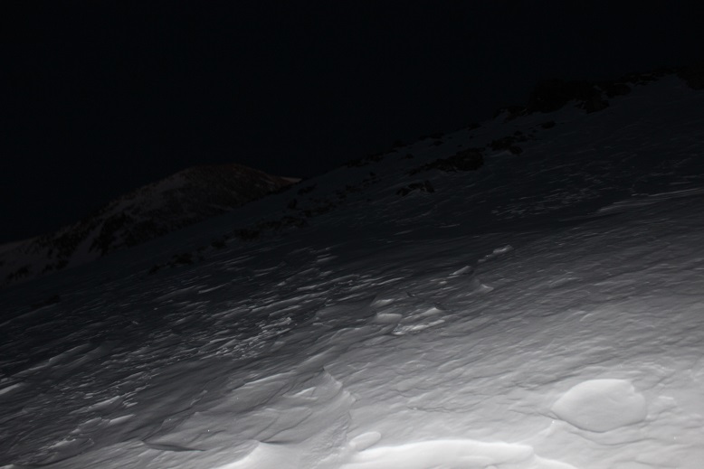
Remember however, it was still dark, so here’s what I was looking at as I was hiking
I made it past the mine and the route started getting very steep. Yes, snowshoes had been a good idea. I got really excited when I ran across a cairn (I haven’t seen one of those in ages!)
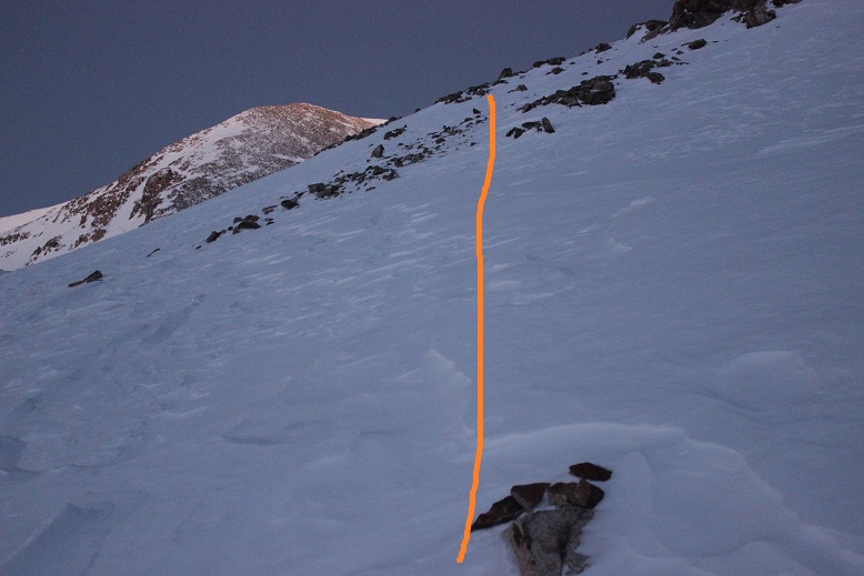
Here’s looking back at the slope from my way down later in the day
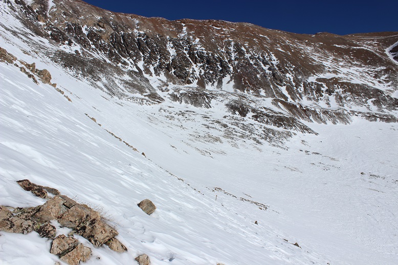
Now all I had to do was hike up the slope to the Democrat/Cameron Saddle
Luckily from here most of the mountain was windblown. I only ran into one or two tricky spots covered in snow. Here’s the view from above the saddle looking left at the hike up Mt Democrat. I just stuck to the ridge.
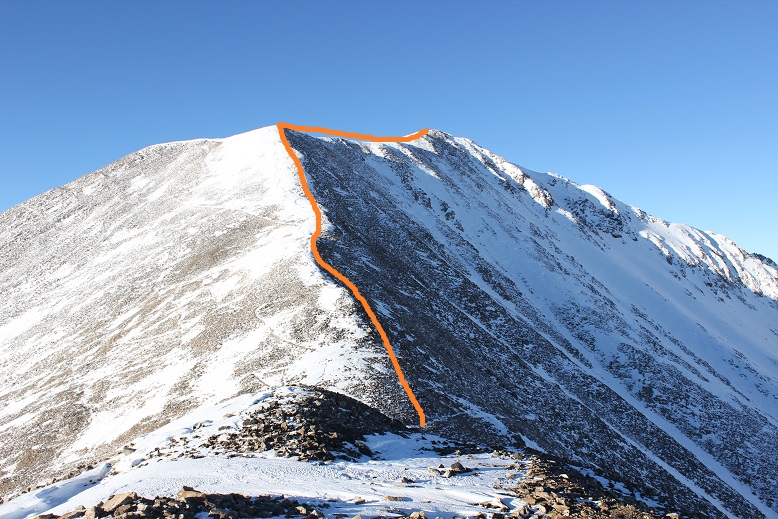
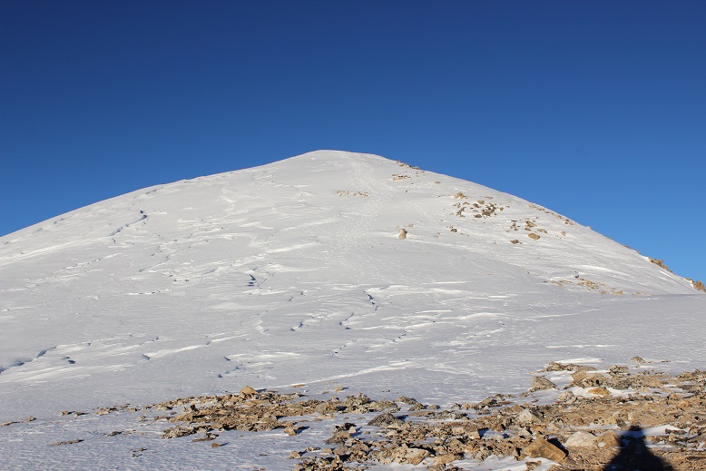
Yes, there’s a false summit on this one. Here’s the last bit of the trek to the summit
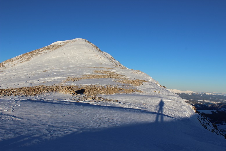
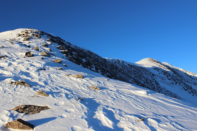
There was more snow than anticipated on this summit
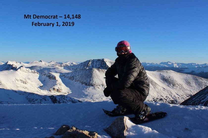
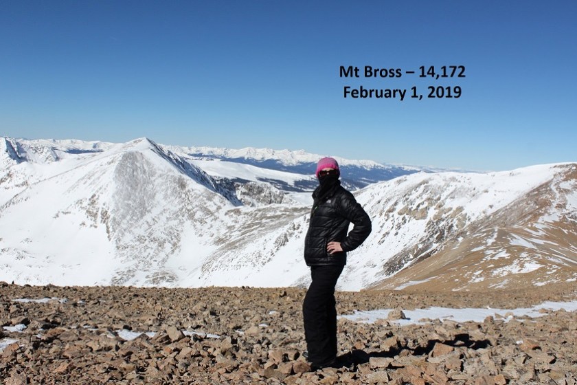
Here’s my summit photo
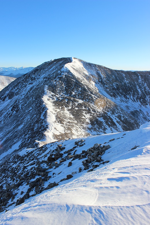
I turned and looked back at the ridge and the route up Cameron
Here’s the route I took

From the saddle it looks steeper. The actual trail goes left and right, but I was able to just stay on the ridge (and snow)
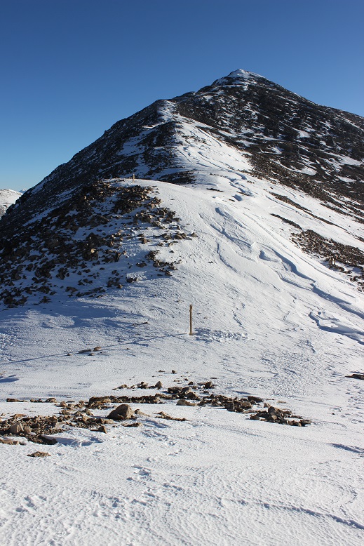
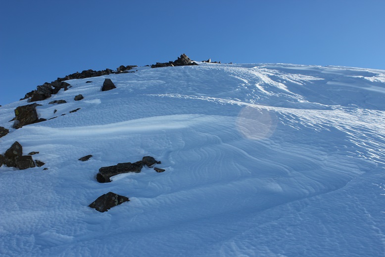
For the final push to the summit you can clearly see the trail to the left outlined in snow.
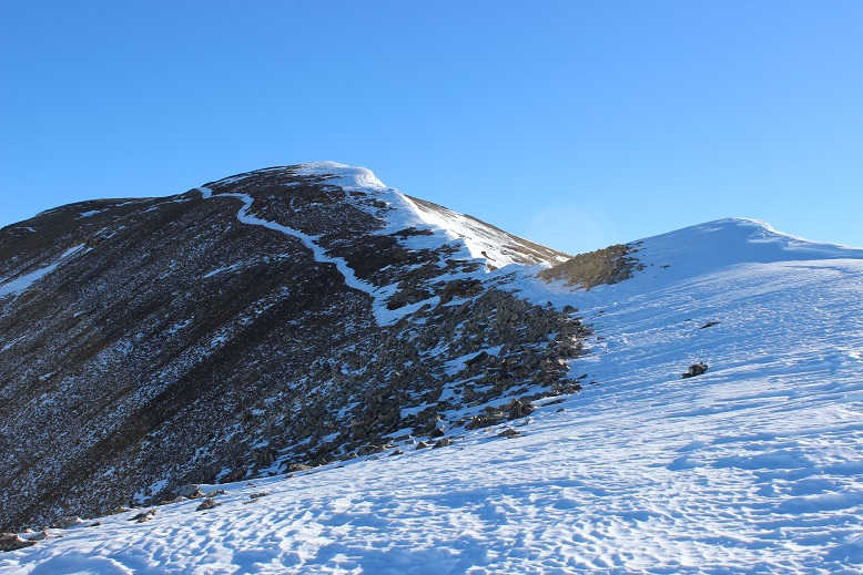
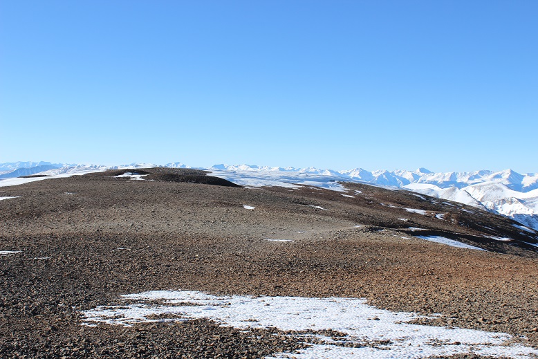
When I gained this ridge it was like I was transported to the moon: The snow was gone and there were small rocks everywhere
I took a quick summit photo
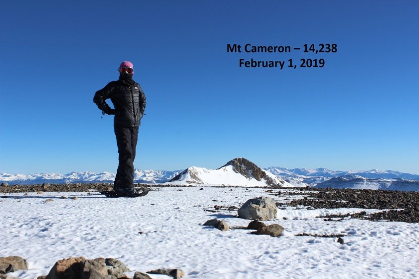
And looked over towards Lincoln
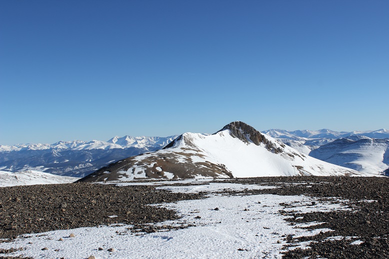
I was debating taking off my snowshoes for the rest of the hike. It looked like everything on this side of the mountain was pretty much windswept, so I took them off, walked about 20 yards, and looked down to this:
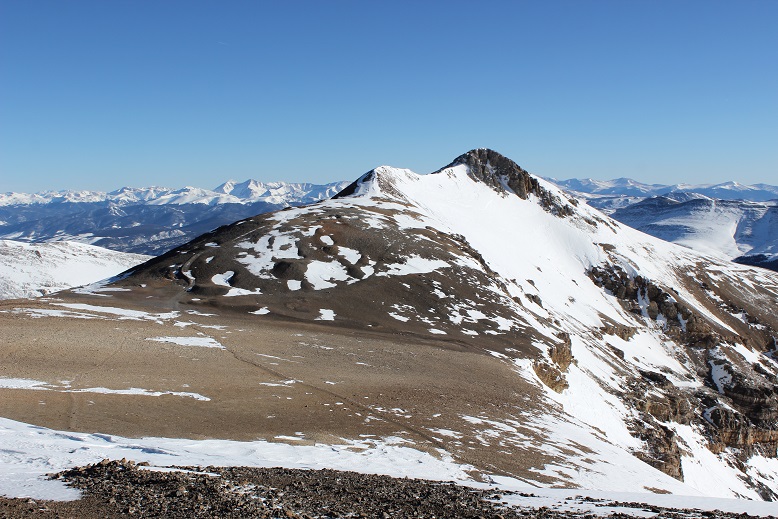
I should have kept the snowshoes on just for this last little bit, but I found a way around the stuff causing me to posthole. The path up Lincoln is obvious. About halfway up to the summit I ended up putting on my snowshoes again because the snow was deeper than it looked from Cameron.
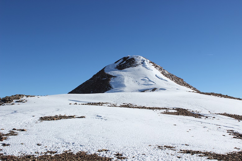
This one had a bit of a false summit as well
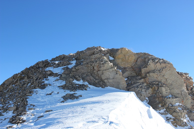
Summiting Lincoln was much easier than I remembered it from last time: Maybe it was the snow? Or maybe it was because the wind this time was nonexistent. In any event, I summited

There were two summit markers on this peak

So far my day had been pretty easy. I looked across at the route past Cameron and over to Bross, debating if I needed my snowshoes or not. There was only one area that gave me pause
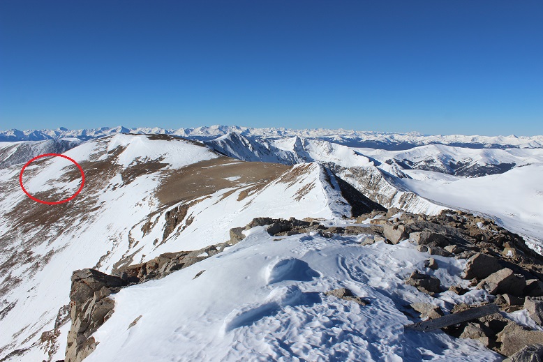
I made it to the Lincoln/Cameron saddle, rook off my snowshoes, and hiked south. When I got to the slab of snow I put on my snowshoes and carefully began crossing the snow. This is much steeper than it looks, but with crampons on my snowshoes I felt secure
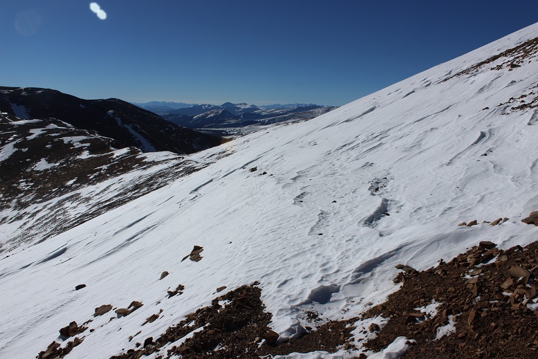
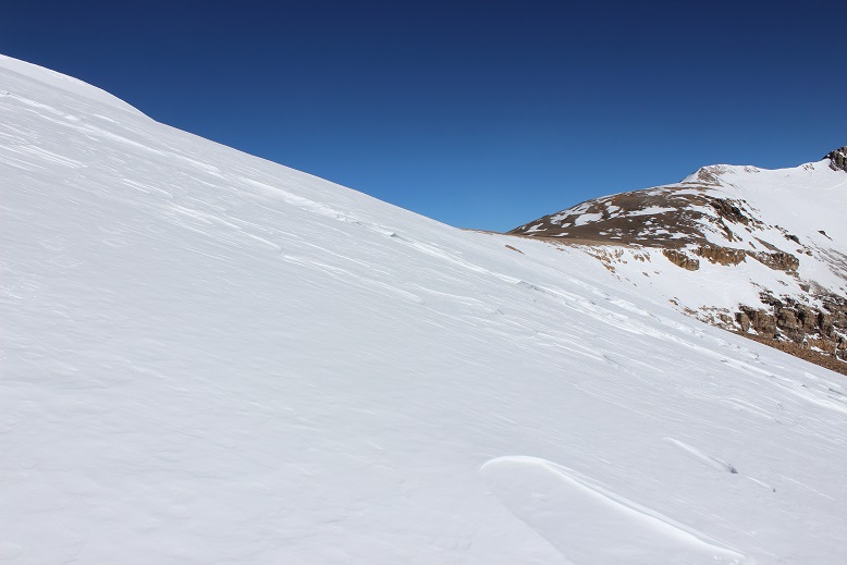
Here’s a look at the rest of the route up Bross
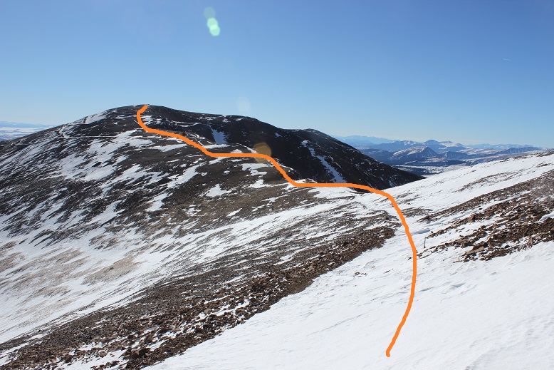
I didn’t think I’d be needing my snowshoes anymore so I took them off once again. I’m not a fan of taking them off and putting them back on again, but I’m even less of a fan of holding them (they’re too big to fit into my pack, and don’t fit nicely on the sides either). Also, it felt really warm. I’m not sure if it actually was warm outside or if it was due to the lack of wind, but I was actually starting to sweat. My hands were almost too warm in my gloves. I could get used to this!
It was a very quiet day. I hadn’t seen anyone else and the wind was silent, so imagine my surprise when I rounded the corner and saw this
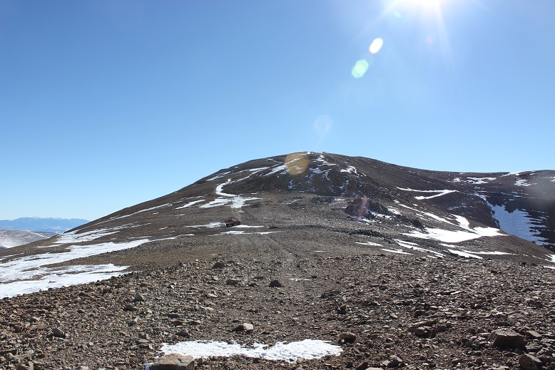
Hm. Someone else must be up here today. I wonder why I hadn’t heard them drive up? No matter, now I as on the lookout for people. Until I got closer and realized the vehicle had been abandoned. It looked like someone had tried to fix a flat and gave up.

What was even more curious was they left the windows open and keys in the ignition.
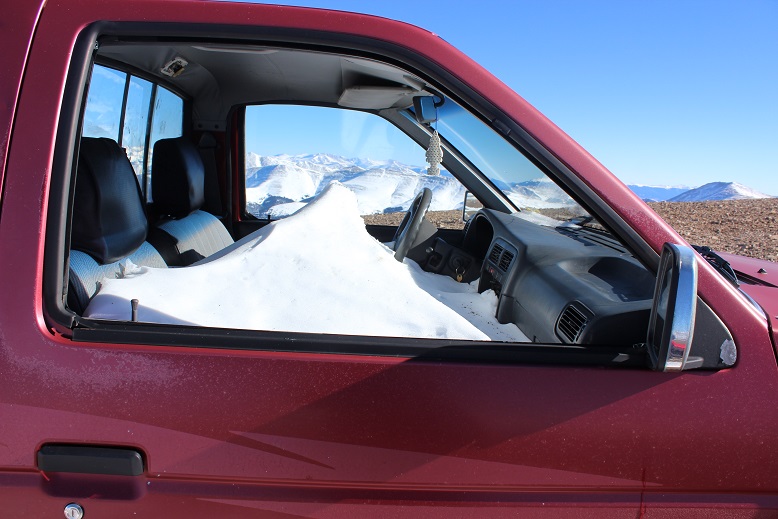
I’m not sure how long the truck has been here, but with the roads the way they are it isn’t going anywhere anytime soon.
I turned around to look at the way I’d come and decided I didn’t want to traverse that snow slab later in the day: on my way back I was just going to trudge straight up the hill to the summit of Cameron.
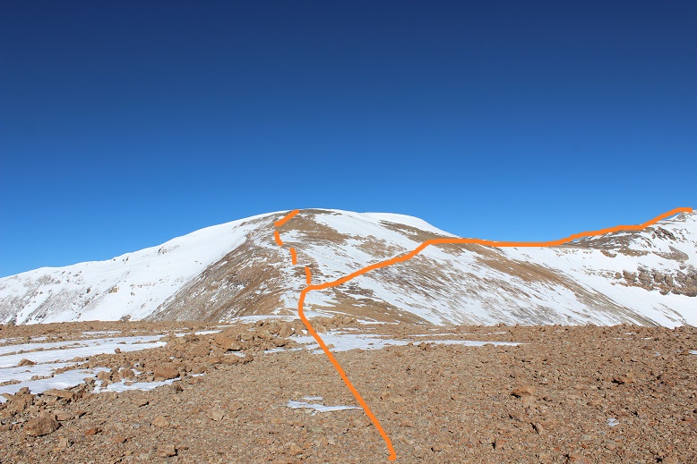
Since this is a mining area there are multiple roads to the summit of Bross. I just kept aiming towards the top and followed one after the other.
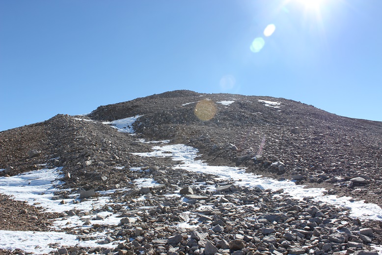
This felt like an easy summit
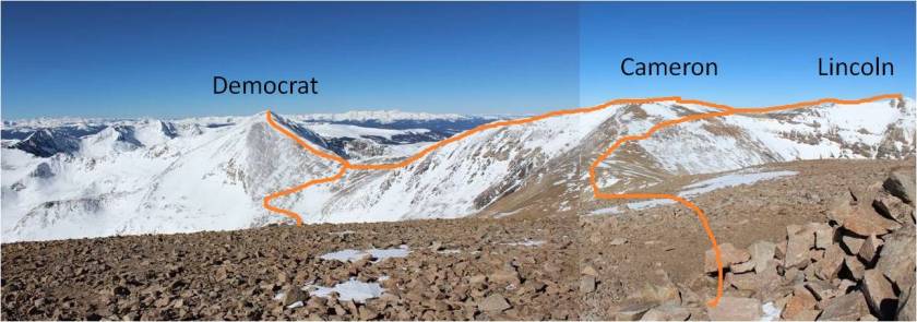
Here’s a look back at the route from the summit of Bross
The summit of Bross was very similar to the summit of Cameron: barren except for rocks. It was also very large and flat

The last time I’d taken this hike I hadn’t known there was a “South Bross” and today I intended to make my way over there. There isn’t much of a trail, but the route’s obvious
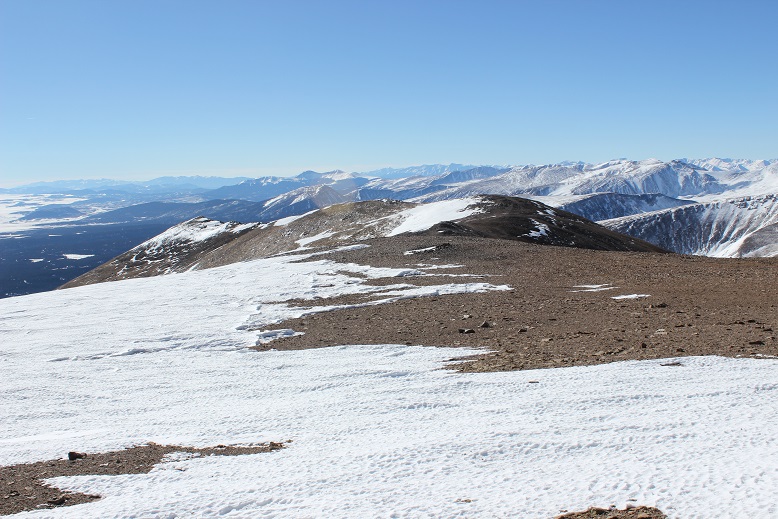
I was losing elevation, and it wasn’t lost on me I’d need to regain about 150 feet in elevation on my way back (just for Bross, with more for Cameron) but the short .6 of a mile trek was worth it.
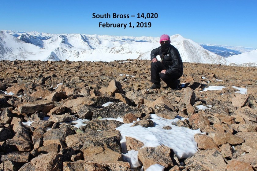
Here’s a look back on the entire route

I turned around and headed back to Bross. From the summit of Bross I pondered my options. I still wasn’t sure if I wanted to make this a loop and head down the west side of Bross or re-summit Cameron and head back the way I’d come. The only reason hiking down Bross sounded like an ok choice was because it was shorter. However, I’ve experienced that screet before and it wasn’t something I ever wanted to experience again, either hiking up or down. Cameron had its drawbacks too: it meant an extra 300 feet of elevation gain in a short distance, and it added a couple of miles onto the trip. However, it also meant I’d get photos of the way I’d come. That was it, I was re-summiting Cameron, and not by way of the Cameron-Lincoln saddle. I was just hiking straight up the slope.
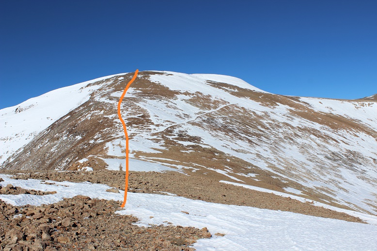
Yes, there was some snow, and it was steep, but very navigable
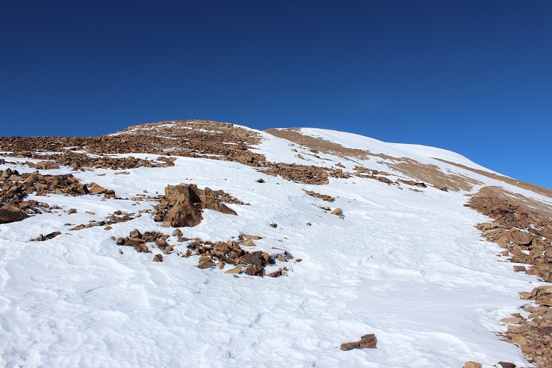
Here’s a look back at Bross and South Bross
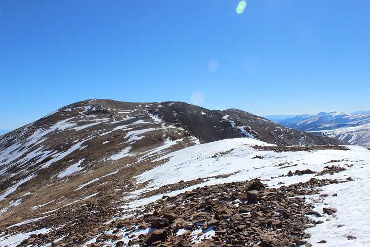
Once I made it to the summit of Cameron (again) I had a great view of Democrat
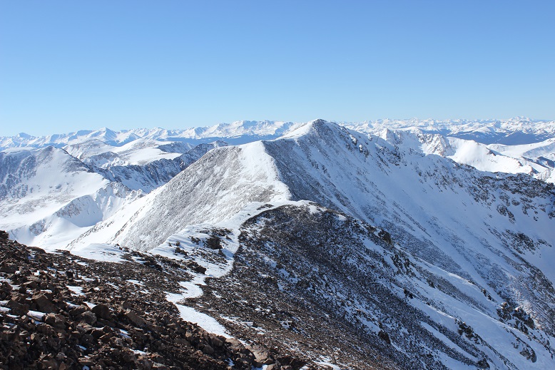
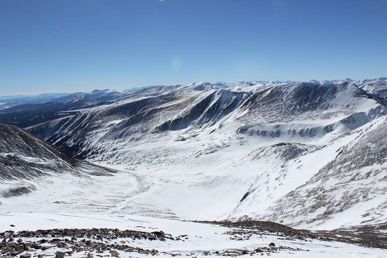
Here’s a look at the route back. You can see Kite Lake is completely covered in ice and snow. Once again, the sections of snow below the Democrat/Cameron saddle were steep.
Here’s the route from Kite Lake
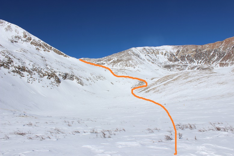
The 3 miles back to my truck from Kite Lake took a while, but I wasn’t bothered: I had all the time I needed today, and it was such a lovely day I didn’t mind the hike. Another plus was the lack of people. It was obvious I’d been the only one on this trail today. In the light of the afternoon sun I was once again glad I’d decided not to drive my truck any further on this road: it would have gotten stuck. In fact, just as I could see my parked truck I heard a noise and saw a truck smaller than mine come plowing down the road. I tried to wave my arms at them to indicate they shouldn’t drive further but it was no use. They continued on and got stuck.

They weren’t too happy about the situation either, and rudely refused my help when offered as if it were my fault they’d gotten stuck. I made it back to my truck at about 3 pm, making this a 16 mile hike in just over 10 hours.
Just for fun, here’s my Relive of the hike: https://www.relive.cc/view/2117888145
It seems like it wasn’t that long since you summited this peak.Then again you stated it was summer and under different circumstances.Your ever protective shadow brings some comfort to any reader of this article You freely give.I’m still a faithful believer in concealed carry as a somewhat total protector. I read a saying that you may have heard somewhere in your worldwide travels.”The Reward is Always in The Journey”. I feel that I have been blessed to be allowed to look in on your mountain exploits with the plusses and minuses of Your every step of the way to the summit.I hope to one day give something back in return for the many articles and photos that You allow that of myself and others to enjoy while drinking a cold beer or scotch and soda.It.s this quiet time that is enjoyable.There is some guilt involved in knowing that You gave it all for my reading pleasure.It’s hard to actually put a price tag on such a gift.Your writings are very important Laura.Never stop expressing Your inner feelings in all that You do.
LikeLike
The abandoned truck you came across makes me wonder if someone was soloing and was injured.But the buildup of snow ????????????????????? The best to Your Daughters and your Military Son.
LikeLike
I love reading your posts! Thank you for always sharing your trips and adventures. That truck was there in September when I did the loop, so it’s been there a good while! I’ve heard the scree on Bross is easier going up, so I might try that next time and reverse the loop.
LikeLike
Hmmm… maybe the vehicle was stolen? It seems weird they wouldn’t have come back for it, especially since the weather was nice into November. I’ve been told Bross is easier going up too, and if there’s enough snow you can just descend the Bross gully (there wasn’t on this trip for me).
LikeLiked by 1 person
Forgot Your song “Where your road leads” Garth Brooks Utube
LikeLike
I was scanning your activity chart and realized the time You spent in the cold winds and trudging through snow. 10 hours and 15 minutes is a long continuous time.That is why Trisha Yearwood and Garth Brooks song just won;t do.You must go back to the ISLANDS on utube and put your hands and feet in the warm sands along with some wine and cheese.for your stomachs sake. .
LikeLike